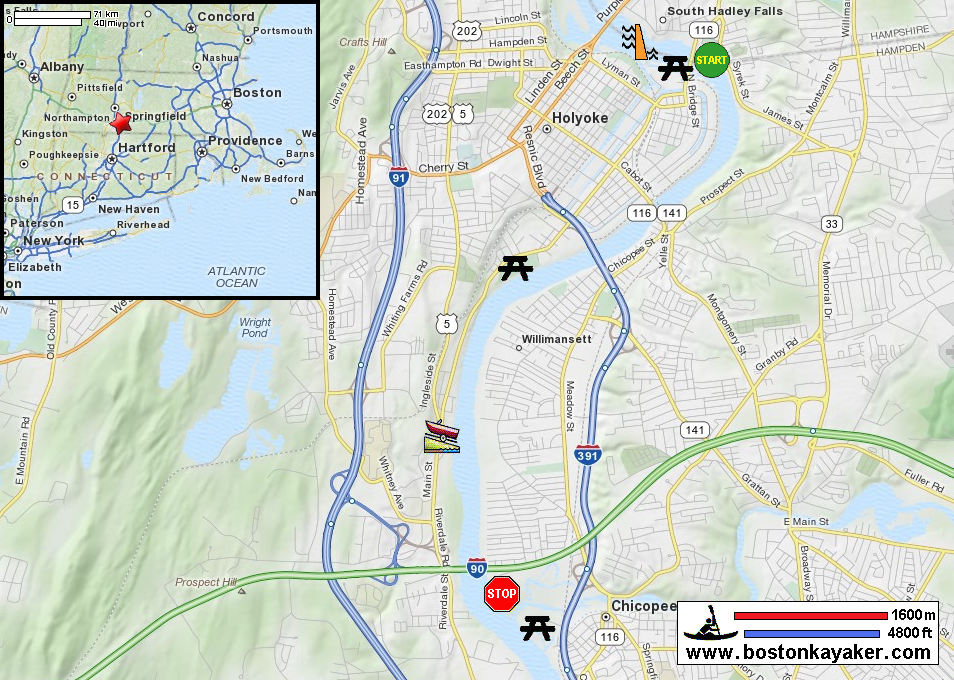
Other resources:
Number of original photos on this page : 70
All photos in this website are original and copyrighted.
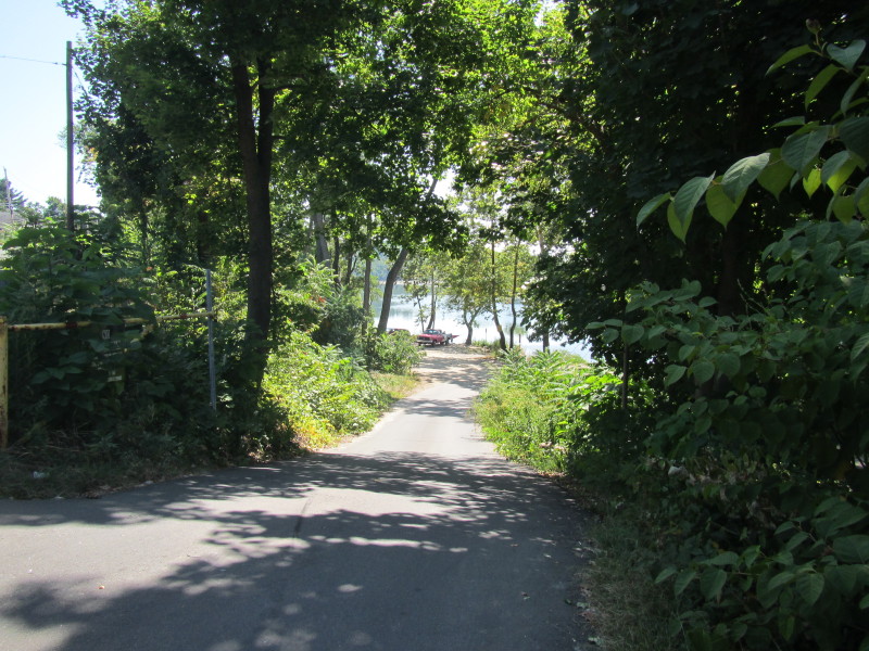
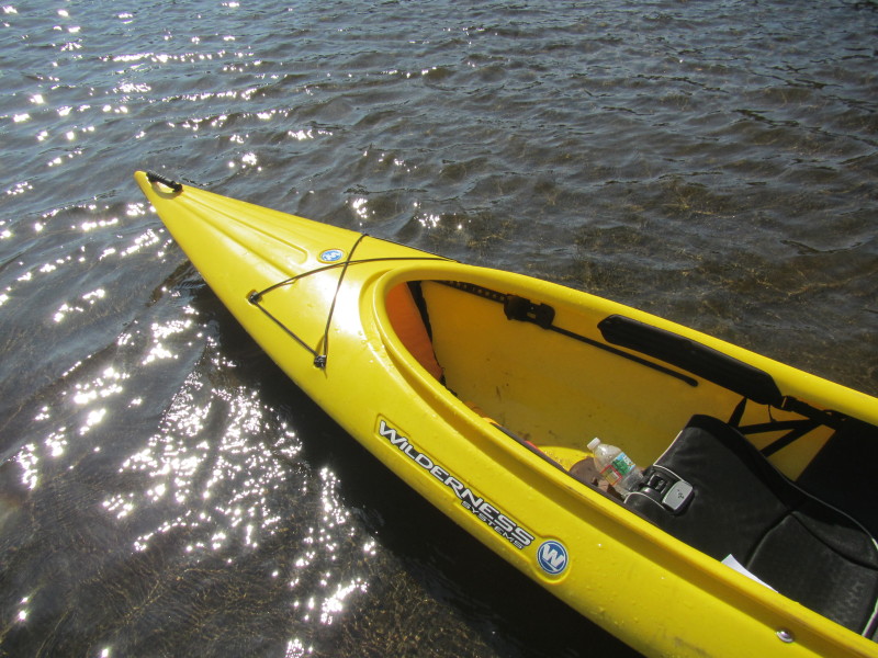
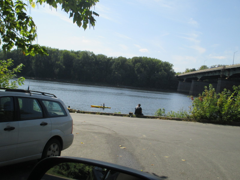
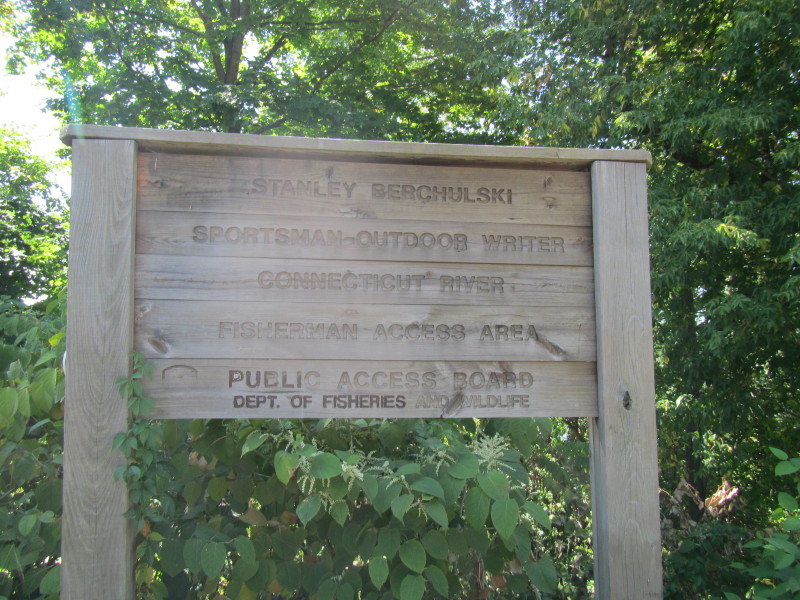 At the access to the Connecticut River on South Main Street in South Hadley MA.
Trip date is September 2015.
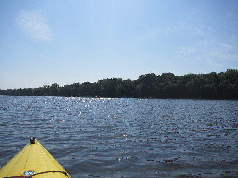
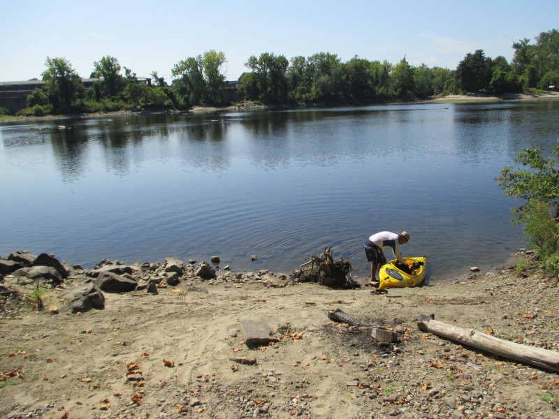 The Boston Kayaker getting ready to launch into Connecticut River.
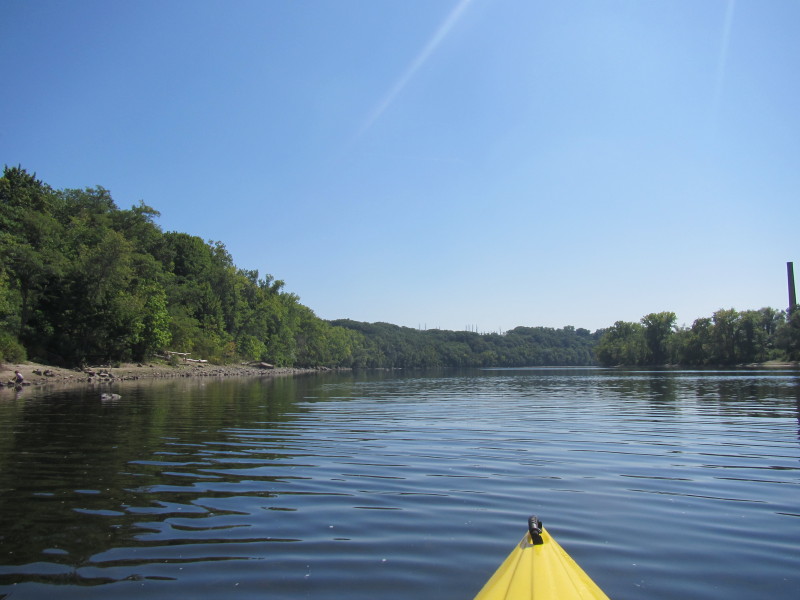
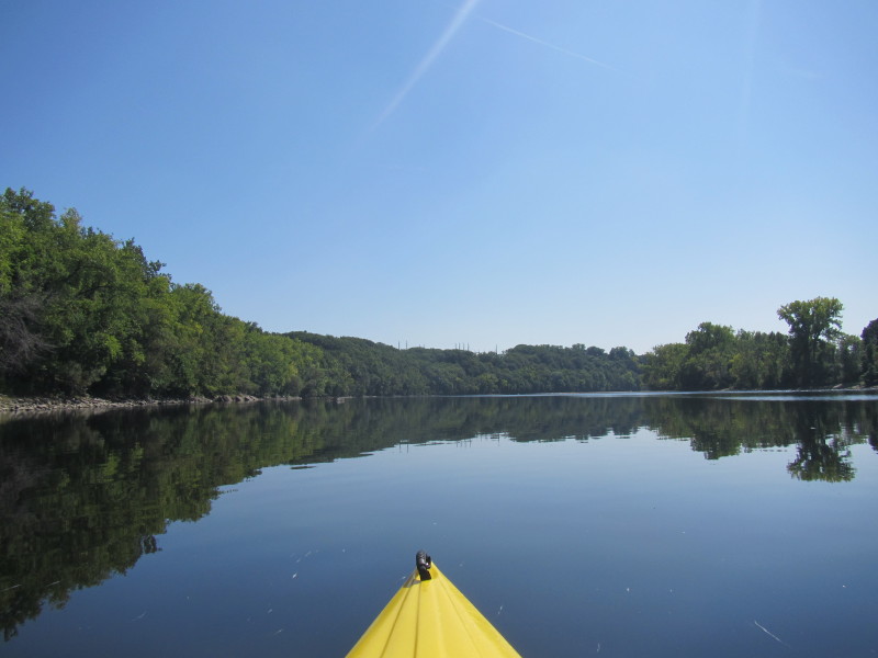
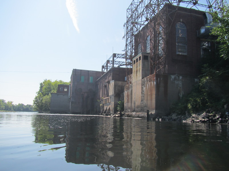
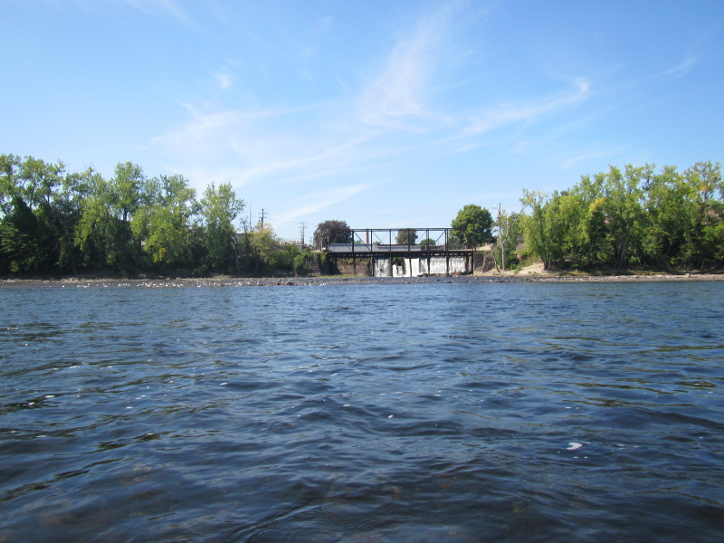
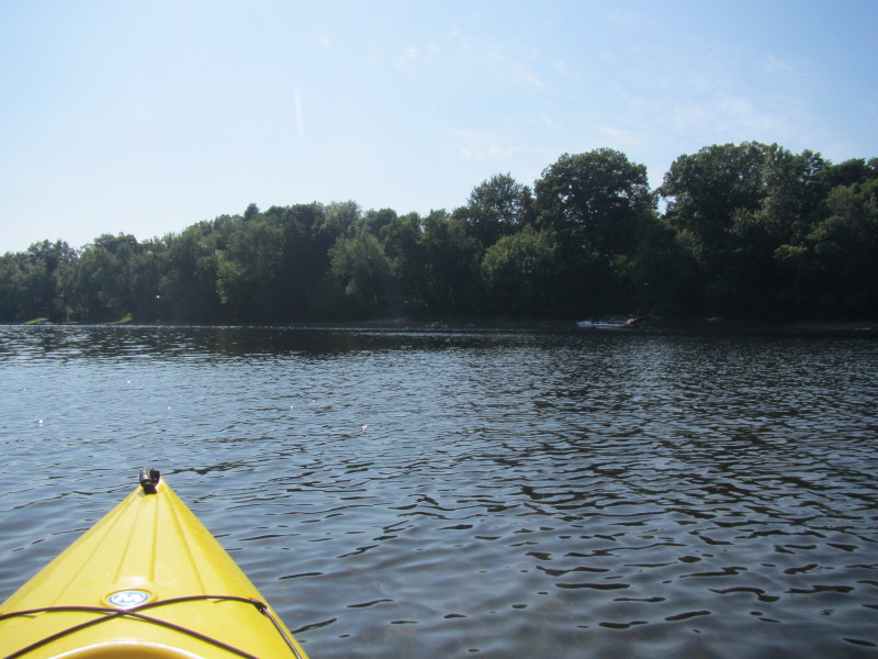
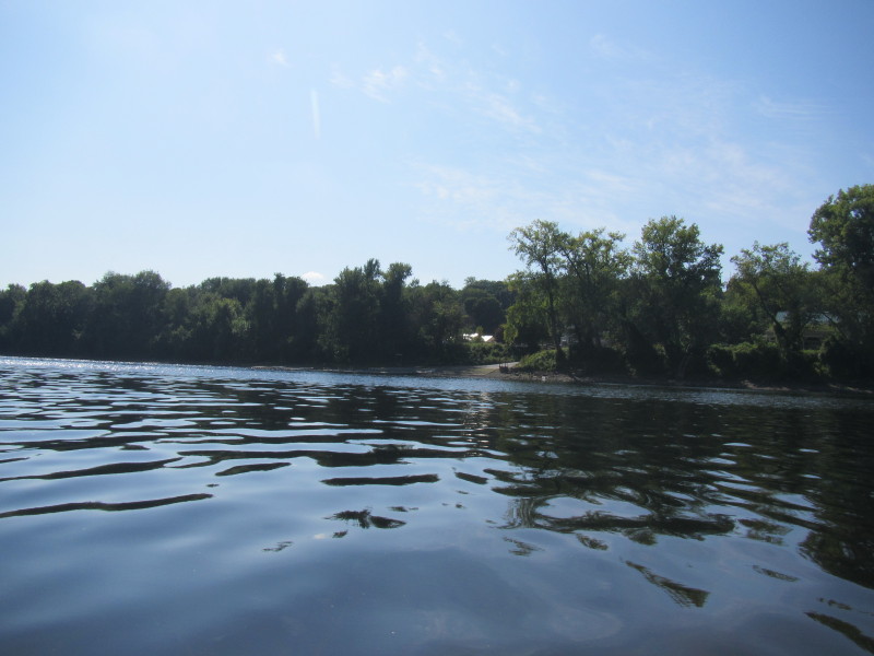
 In the background on right is the Holyoke Dam on the Connecticut River.
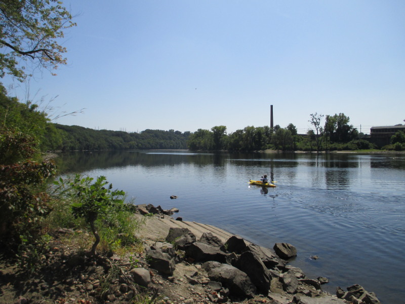
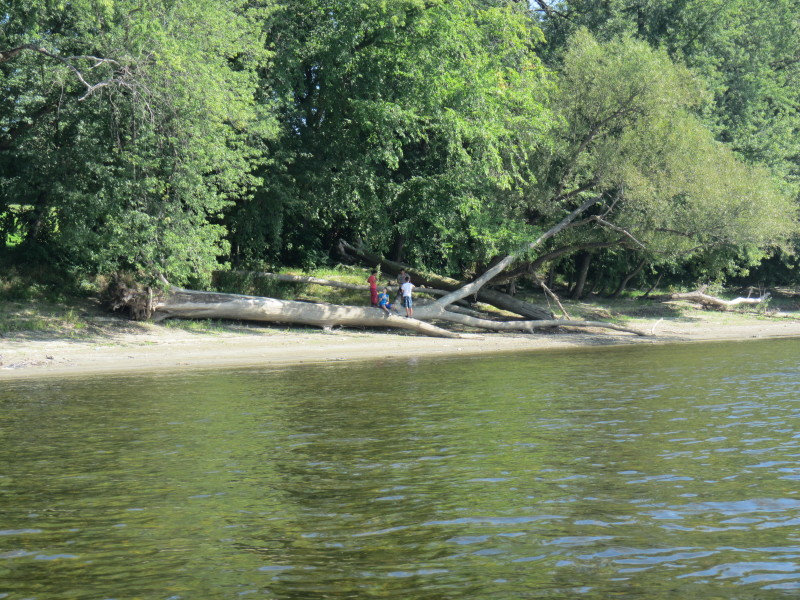
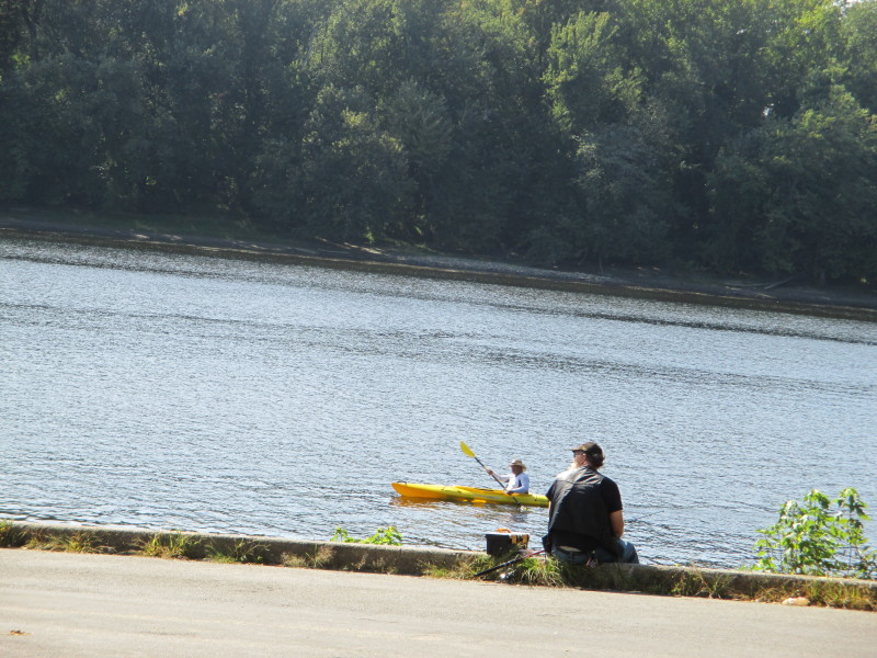
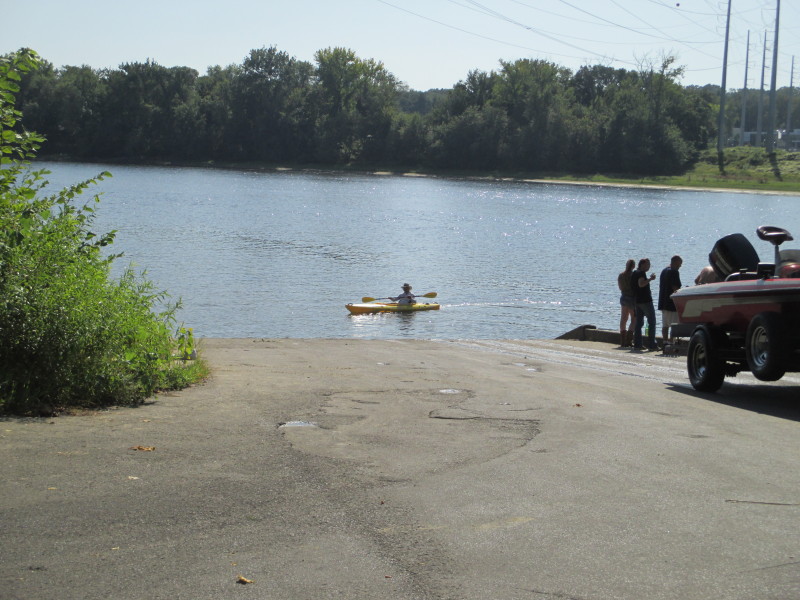
 The Boston Kayaker's son.
We will meet again later at the takeout 5+ miles downriver.
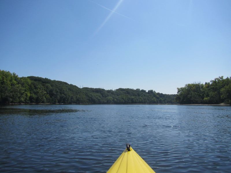
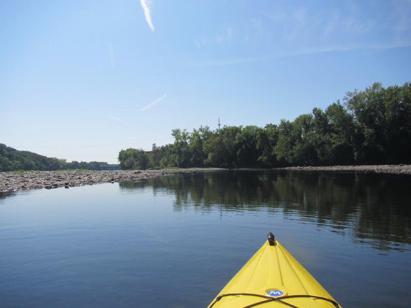
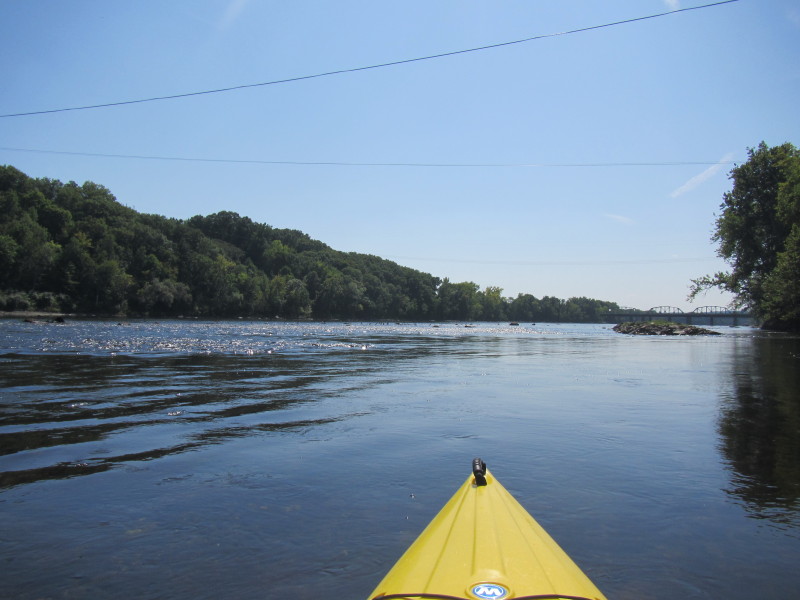
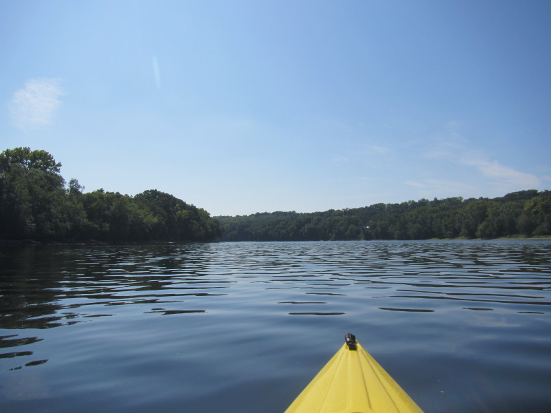
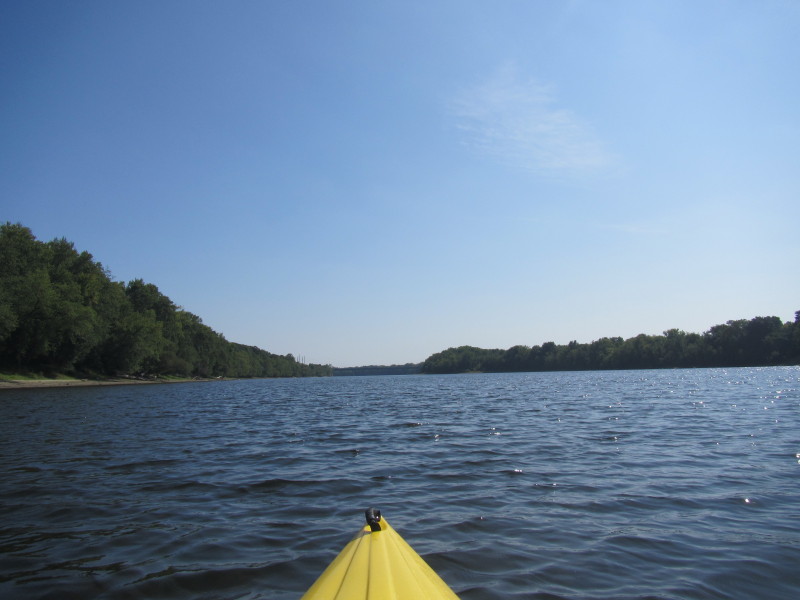
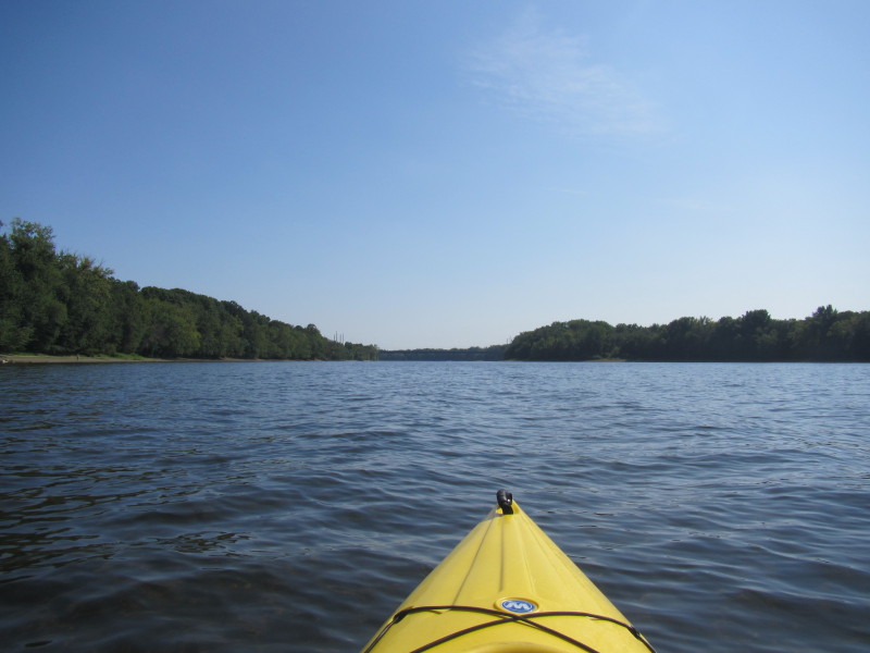
 I am approaching a very shallow area. Not sure which way to go . . .
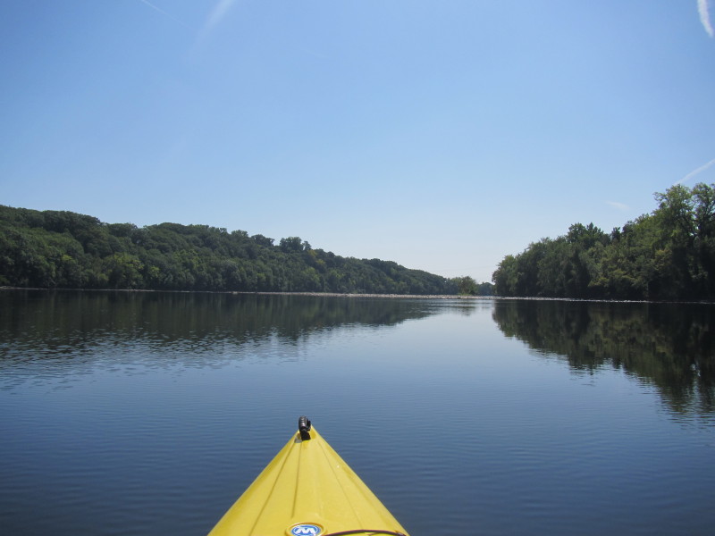
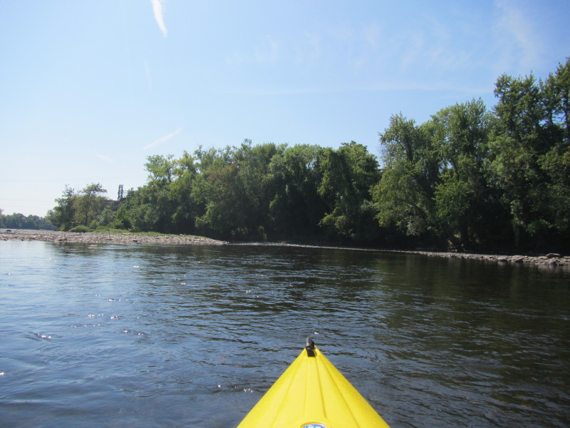
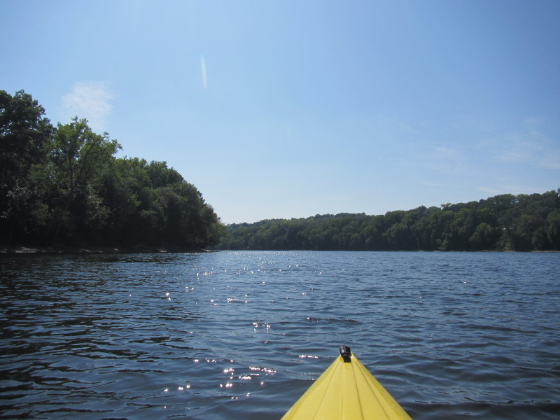
 Going to the left side of the river to see if it is easier to navigate.
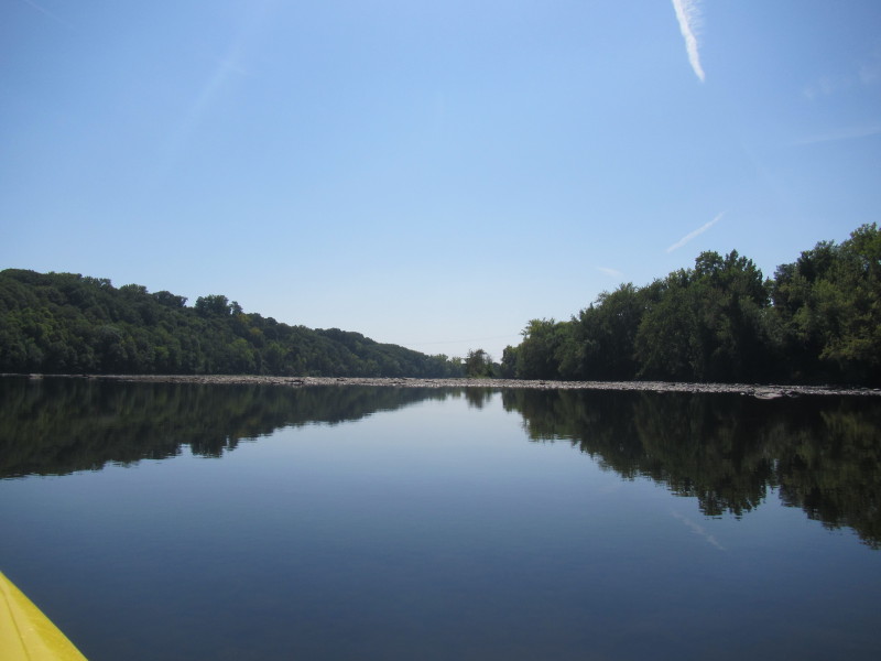
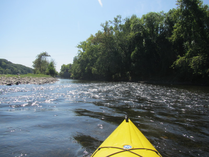
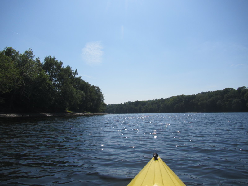
 Ok, no need to go to the far left, saw this passage in the middle of the islands.
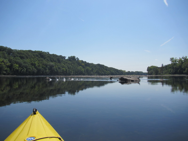
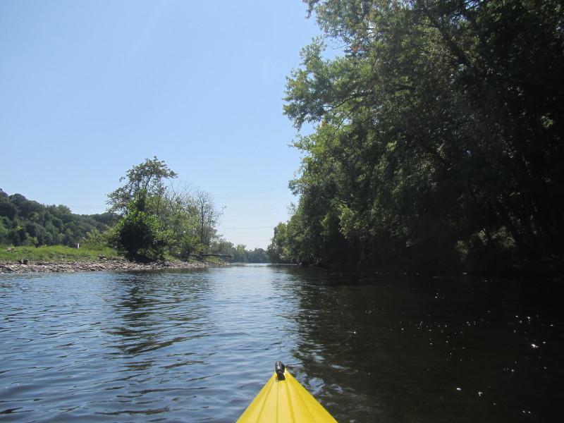
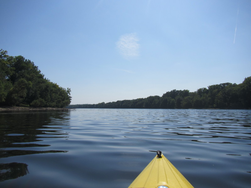
 At the end of this passage is again a shallow area.

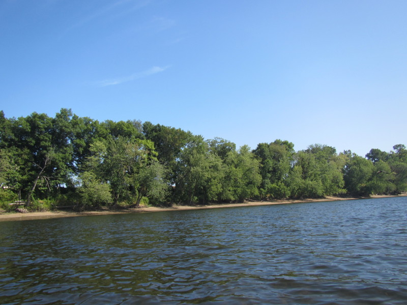
 Now on the right (west) side of the Connecticut River.
 Looking at my left to the east.
 I got stuck in this area but managed to push my way through without getting out of my kayak.
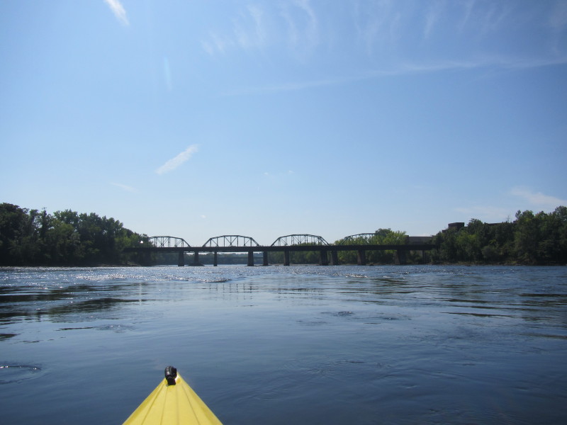
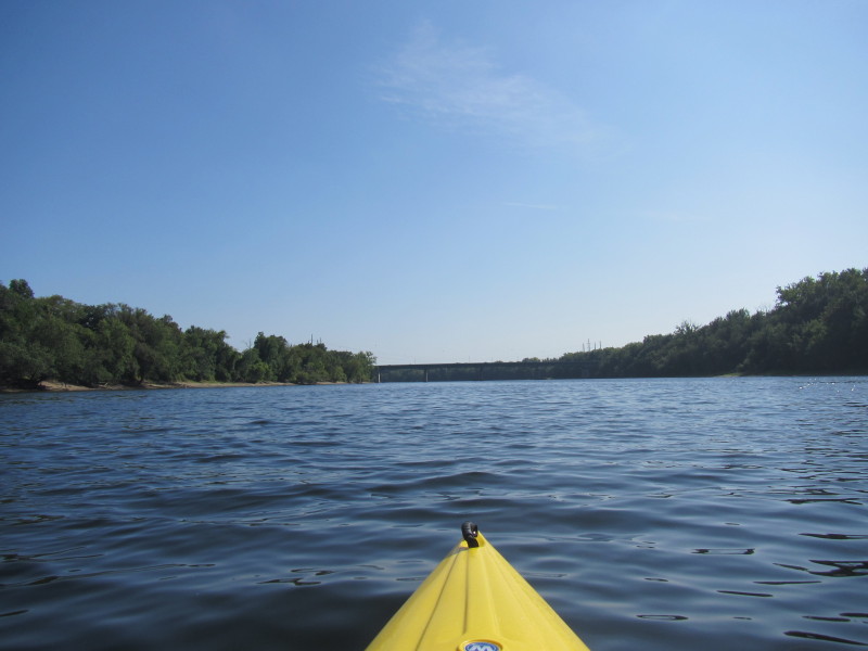
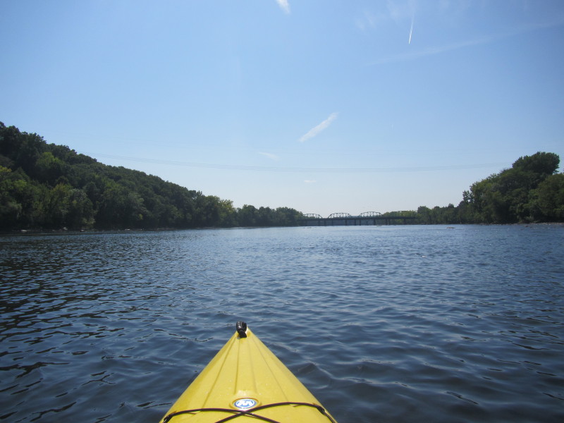 Route 116 bridge straight ahead.
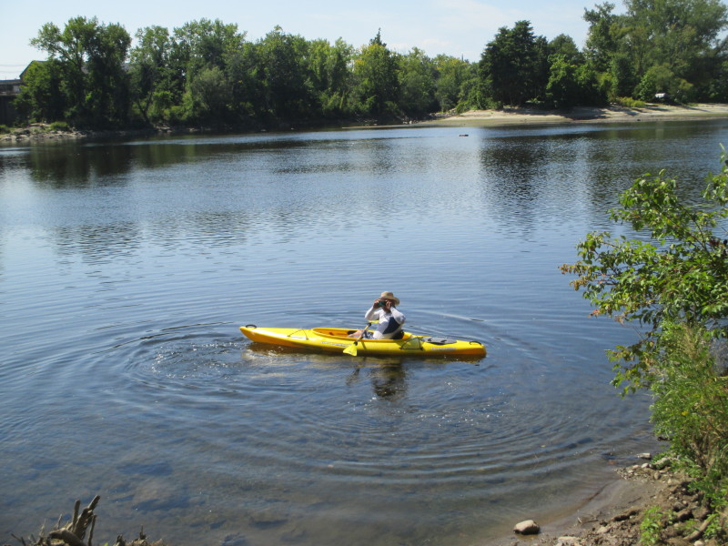
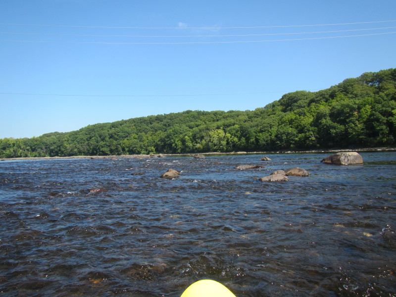
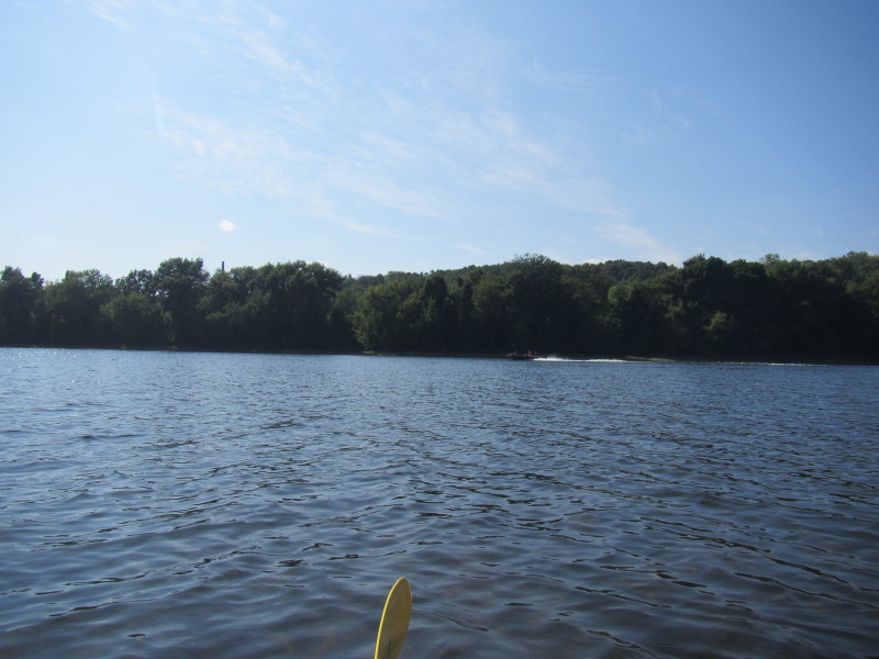
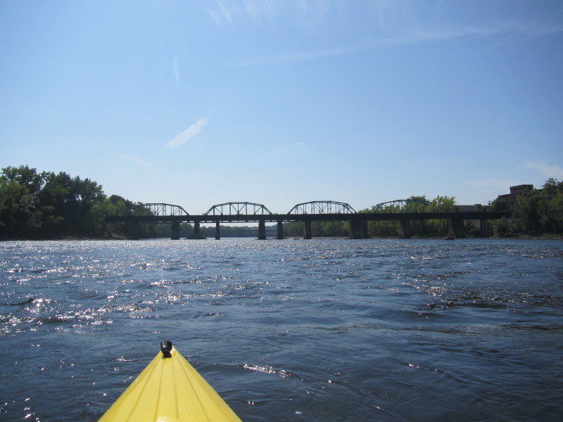 Another shallow area.
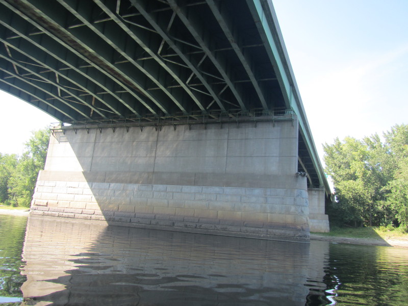
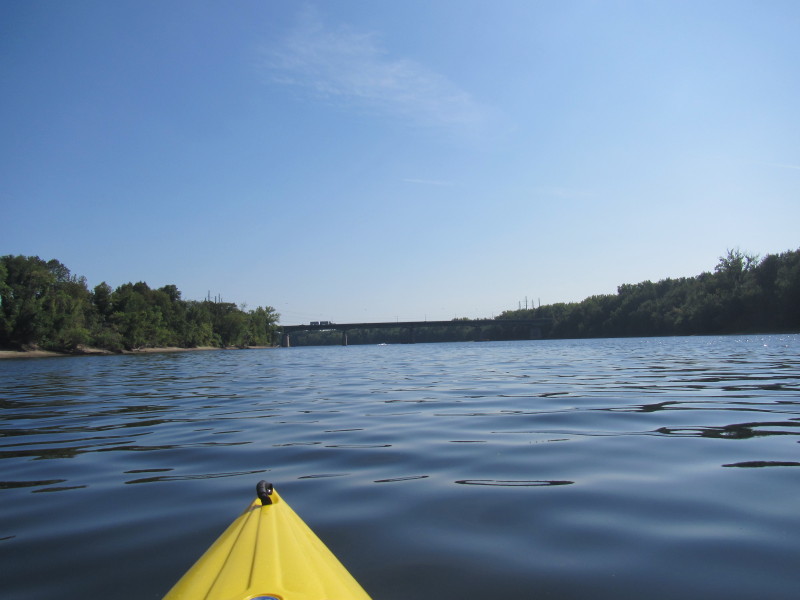
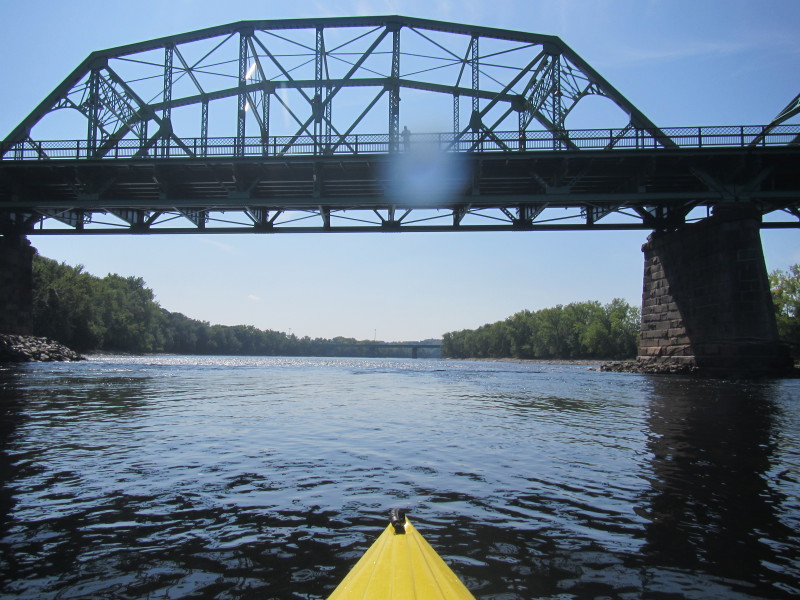 About to pass under the Route 116 bridge.
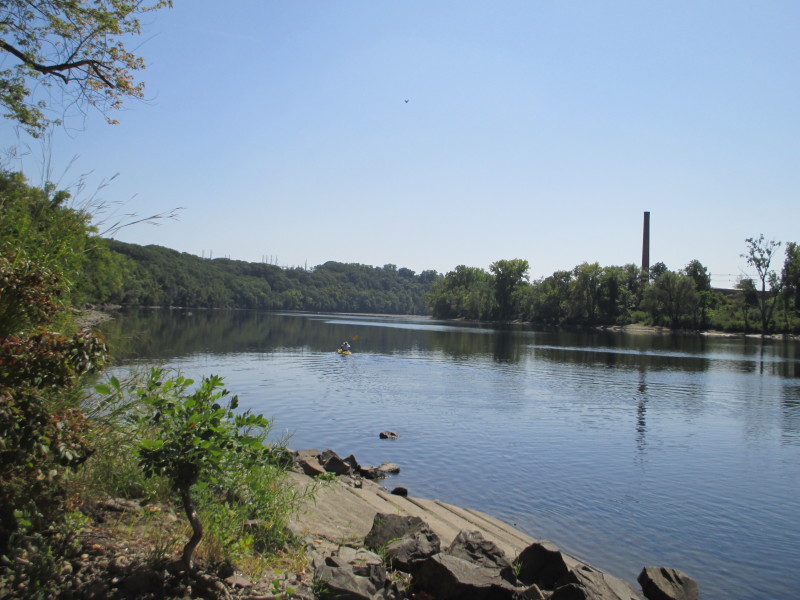
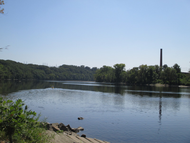
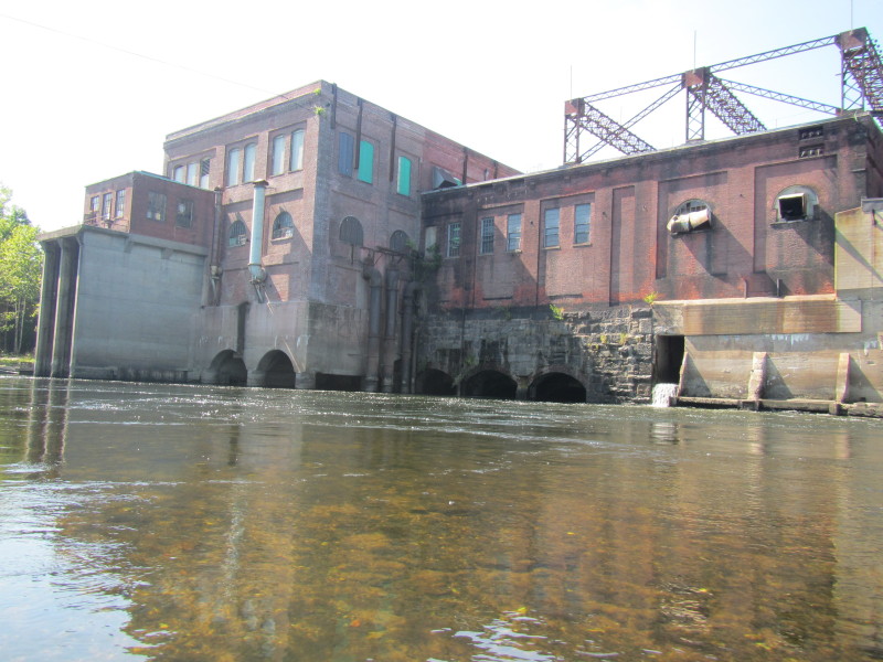
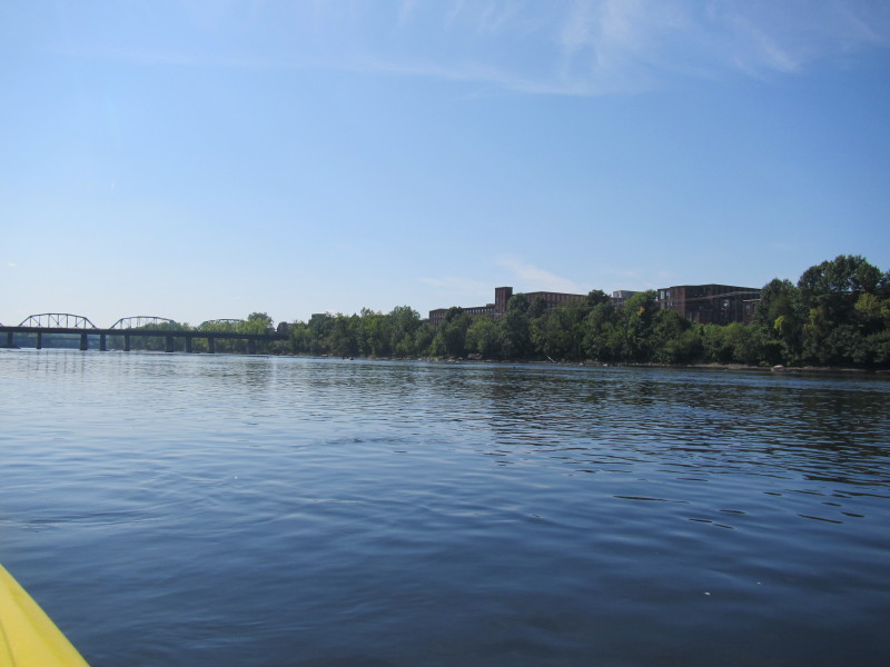
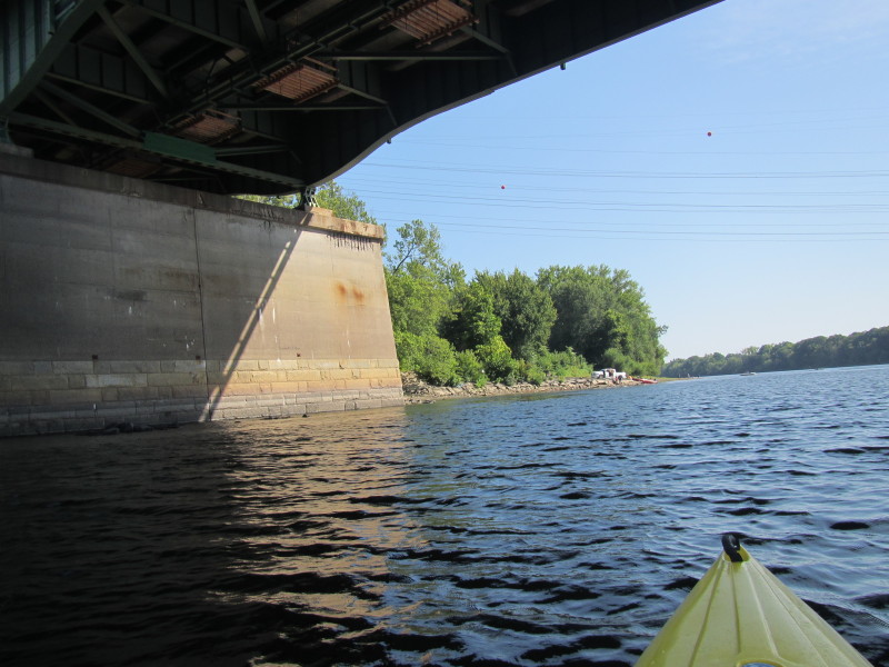
 Looking at my right is the outlet of the Holyoke canals.
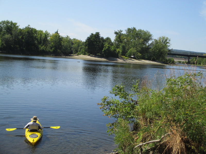
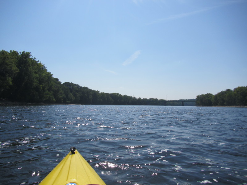
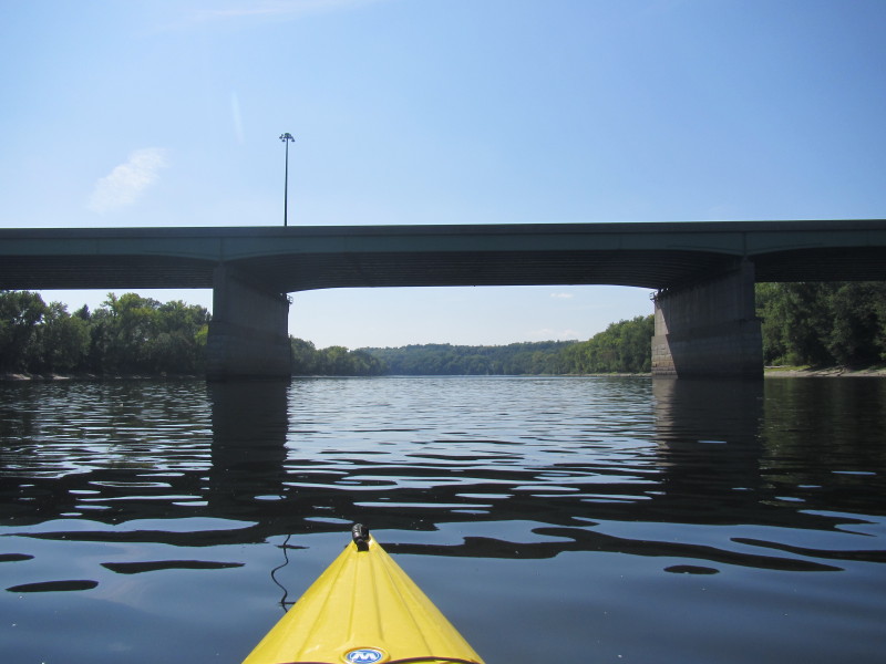
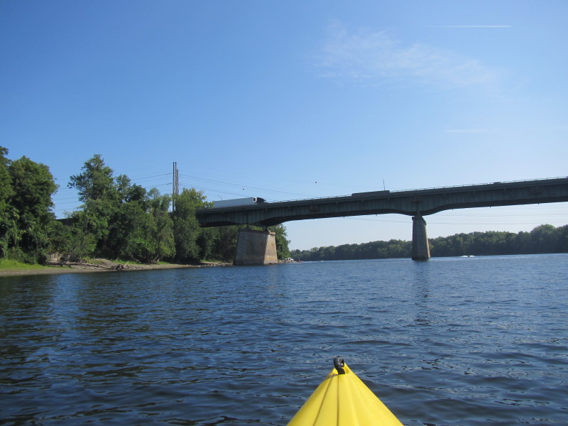
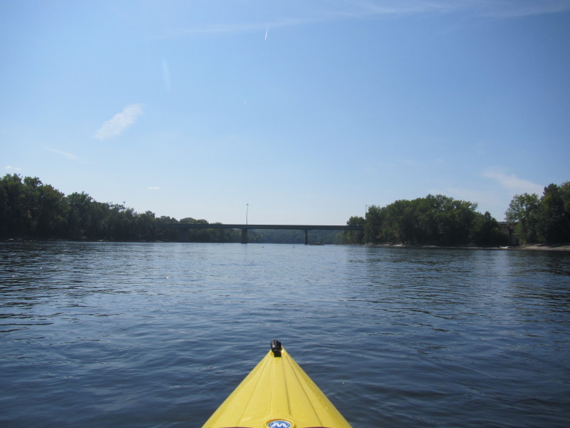 Approaching the I-391 bridge.
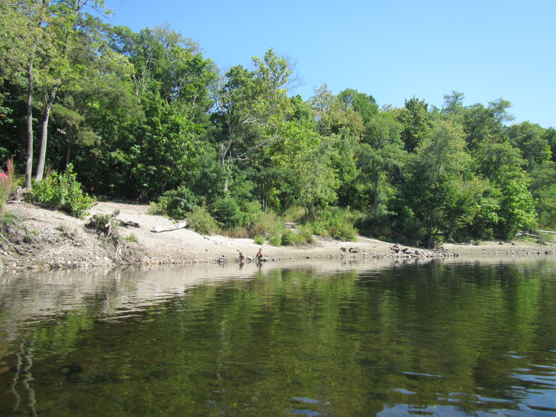
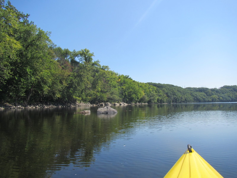
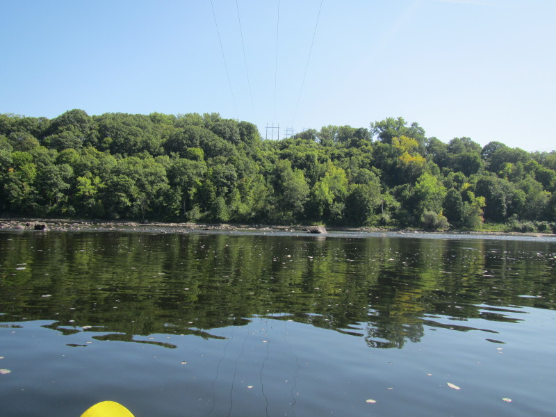
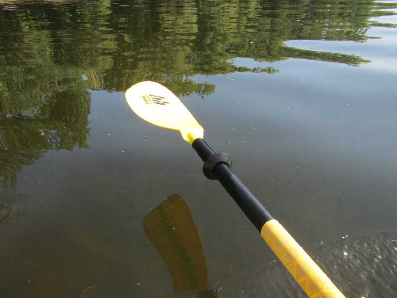
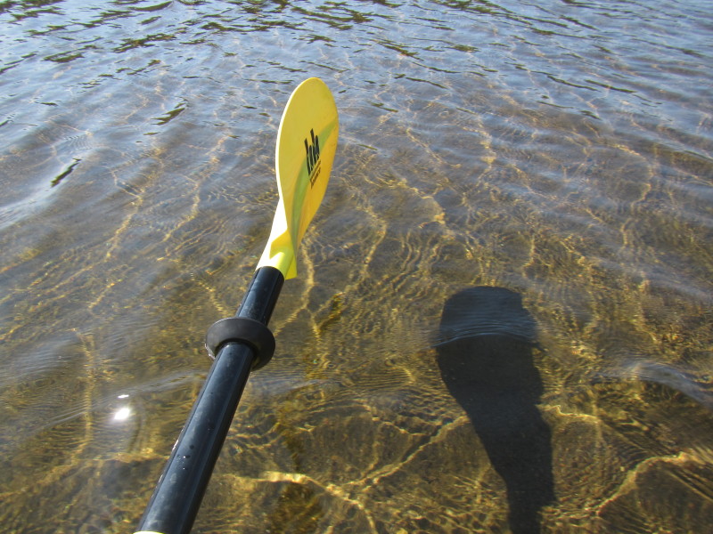
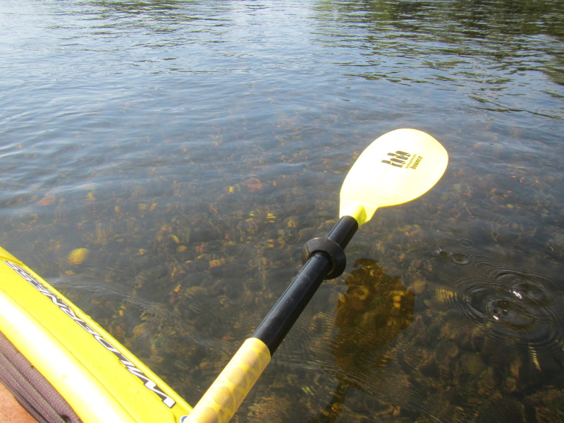 The waters of Connecticut River is very clear even at depths of 5+ feet.
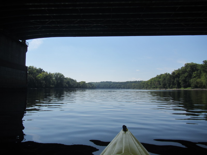
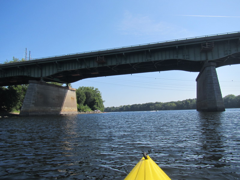
 Passing under the I-191 bridge over the Connecticut River.
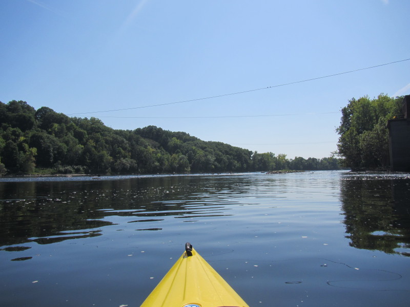
 According to my map, the river will bend to the left and then I should be able to see the I-90 bridge.
 Connecticut River bending to the left.
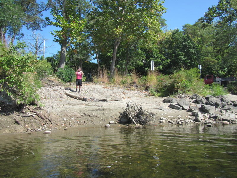
 I ended up in a shallow area on the left side of the river and have to get out.
 Back on my kayak.
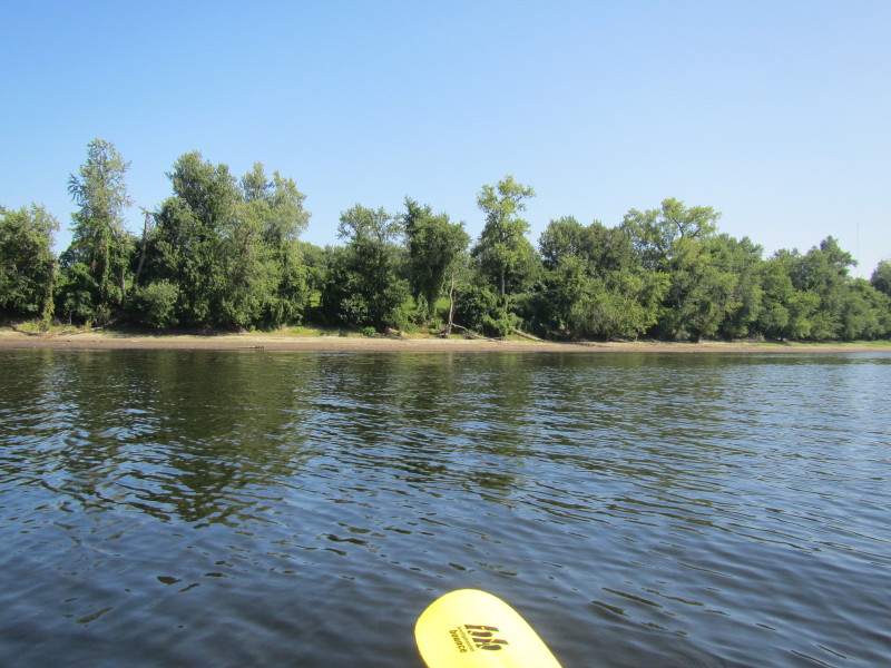
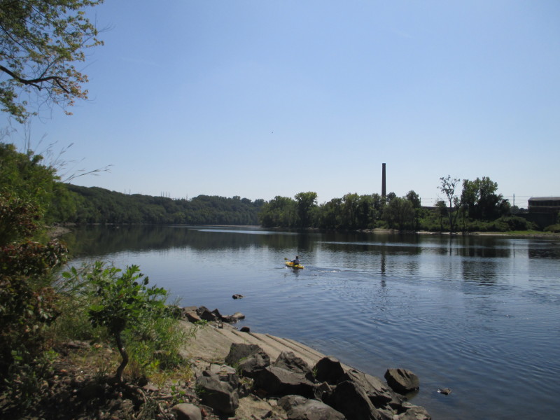
 On my right is the Jones Ferry ramp.
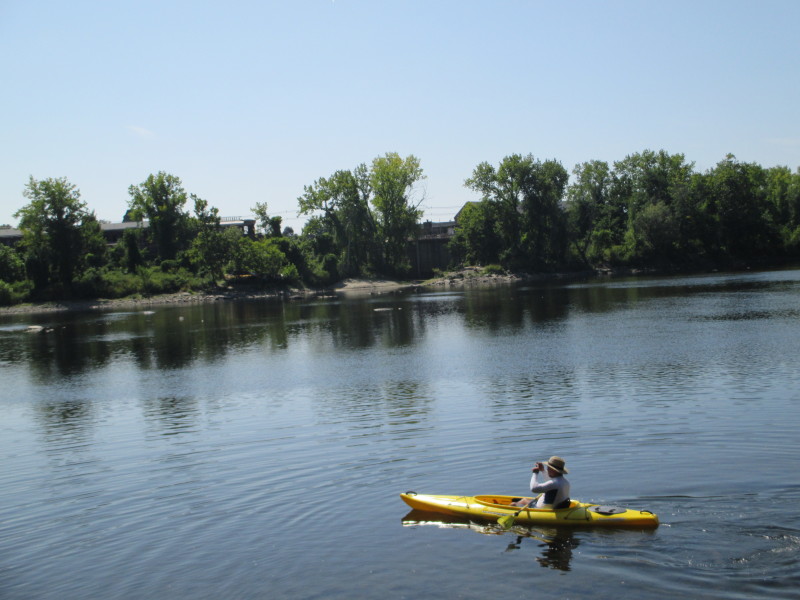
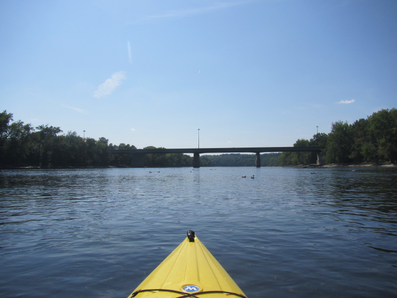
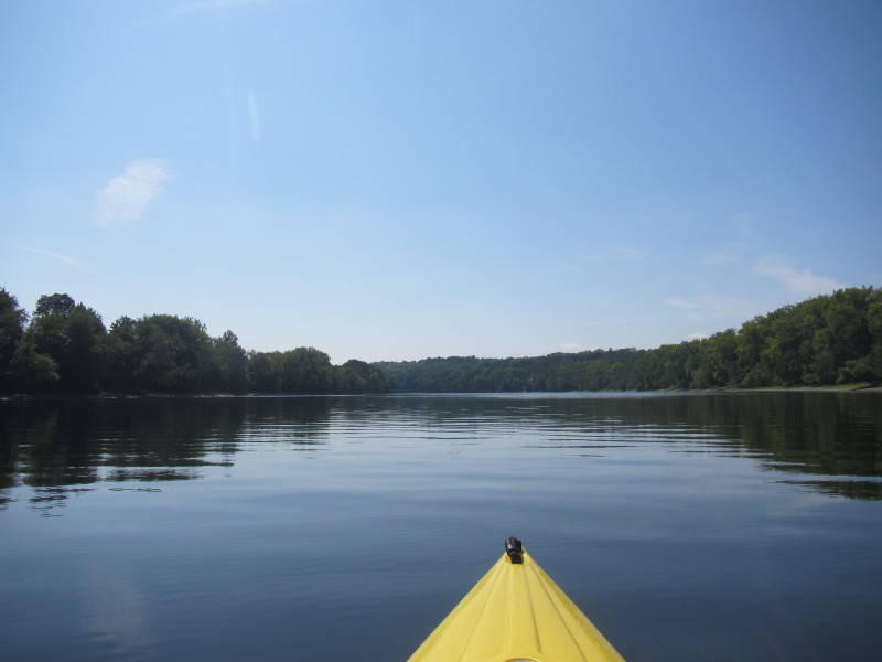
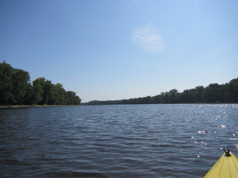
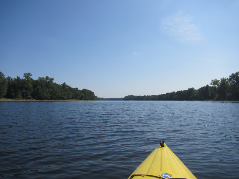
 The river is now straight and I can now see the I-90 bridge (not very clear in the picture).
 Just after the I-90 bridge, the takeout ramp will be on the left.
 Paddle time was 1 hour 14 minutes.
|
 Kayaker