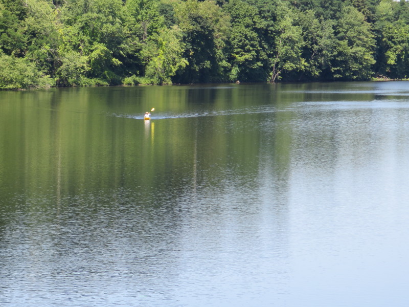
 Kayaker

|


|
Download printer-friendly
PDF version that fits in one page: |

|
|
Other resources:
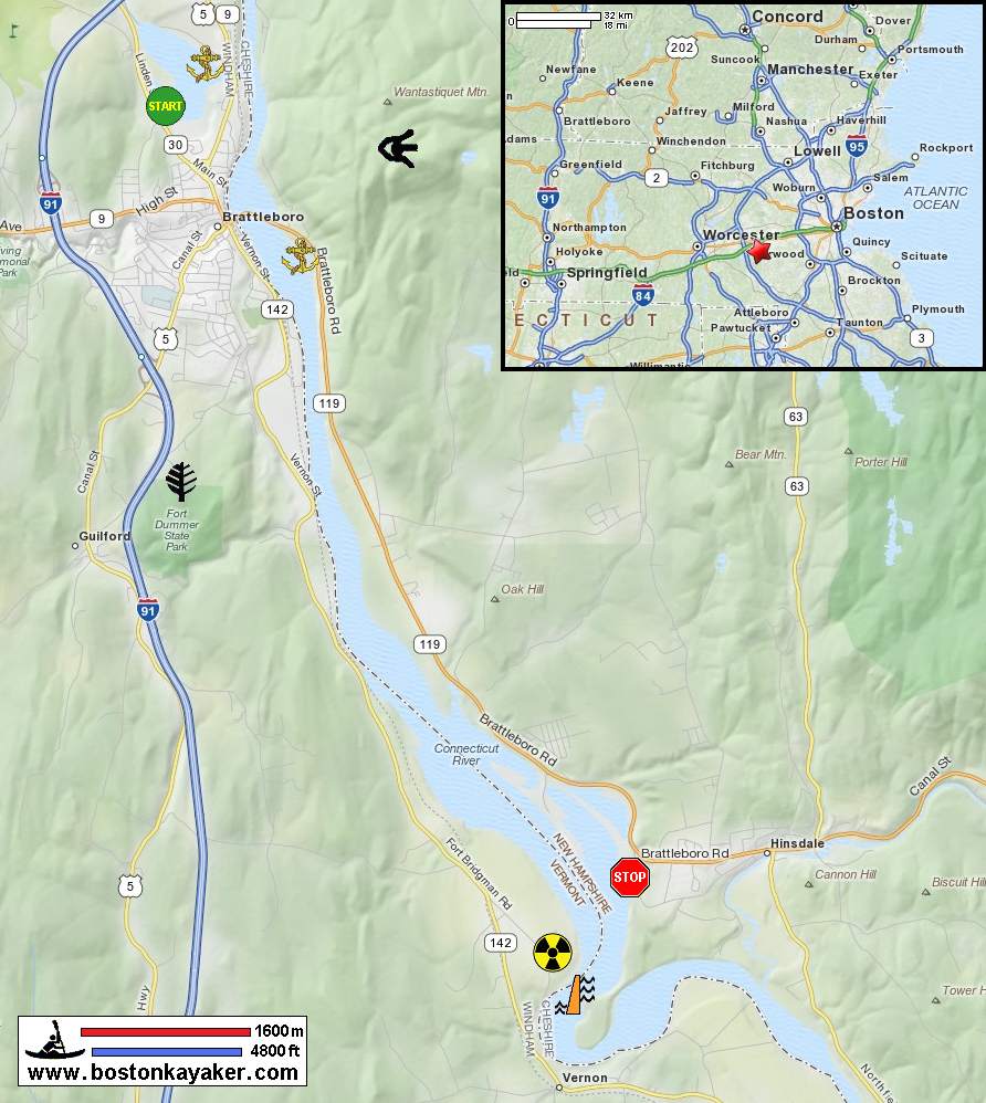
Connecticut River Joint Commissions: Map 13 Mount Wantastiquest Region webpage Connecticut River Joint Commissions: Map 13 Mount Wantastiquest Region map Connecticut River Joint Commissions: Map 13 Mount Wantastiquest Region map (cached copy) NH Govt: Pisgah State Park VT Govt: Fort Dummer State Park All photos in this website are original and copyrighted.  In Brattleboro VT.
 Trip date is August 2014. 
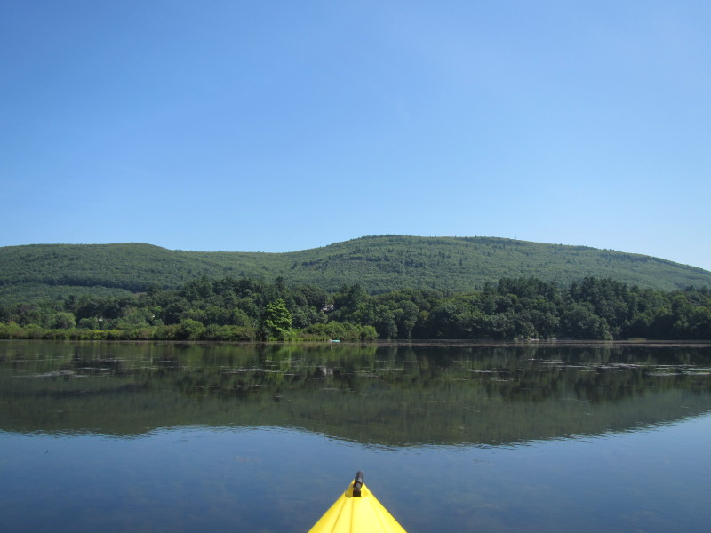
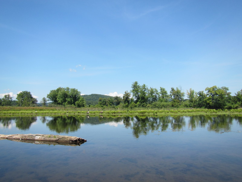
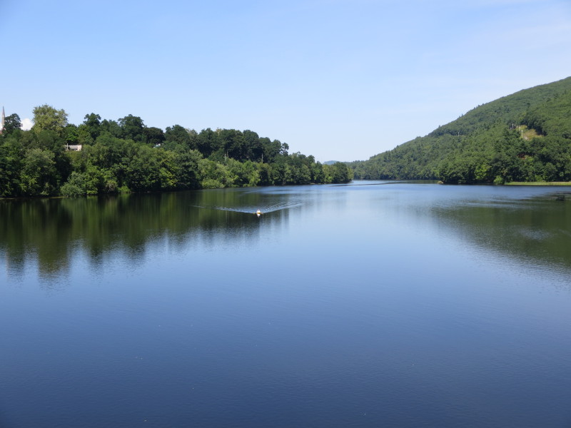
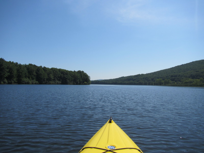
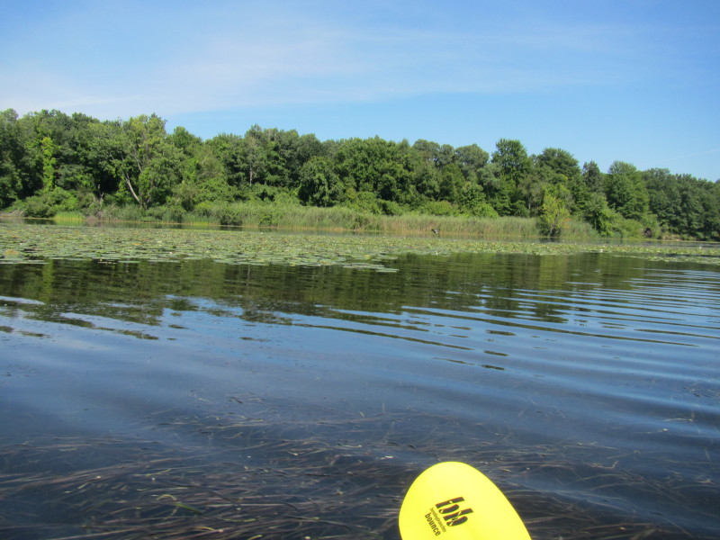
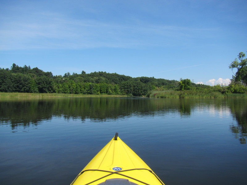
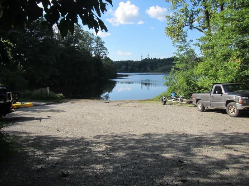
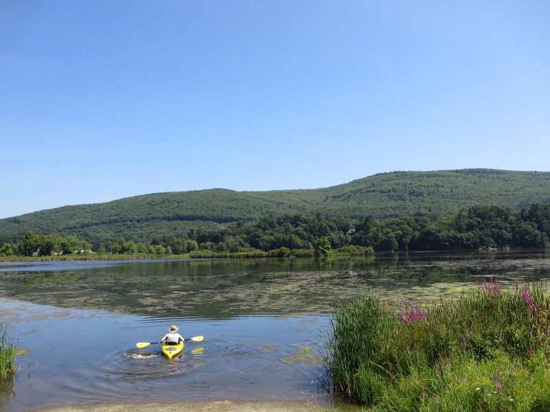 The Boston Kayaker launching from Retreat Meadows on Linden Street / Route 30 in Brattleboro VT.
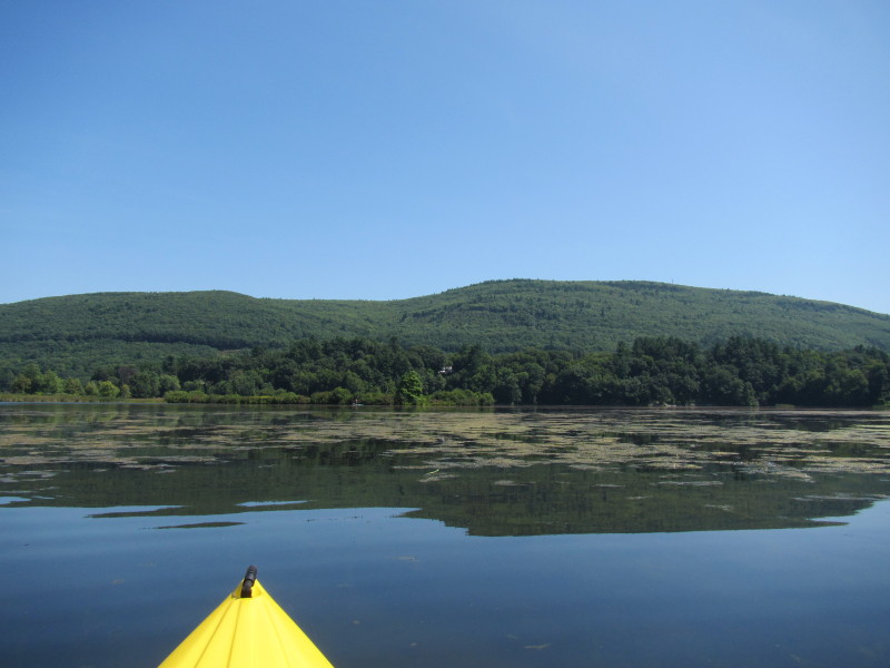
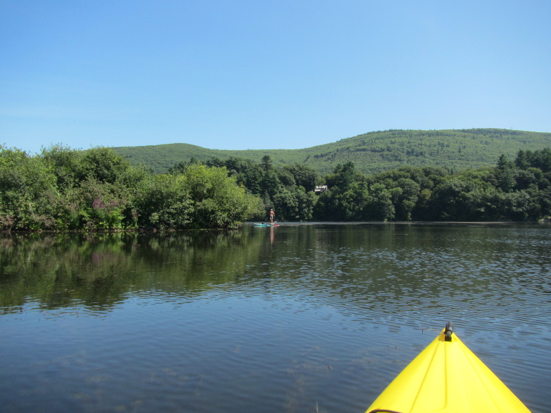
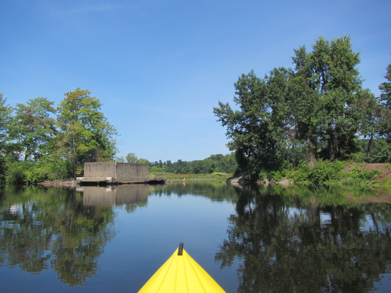
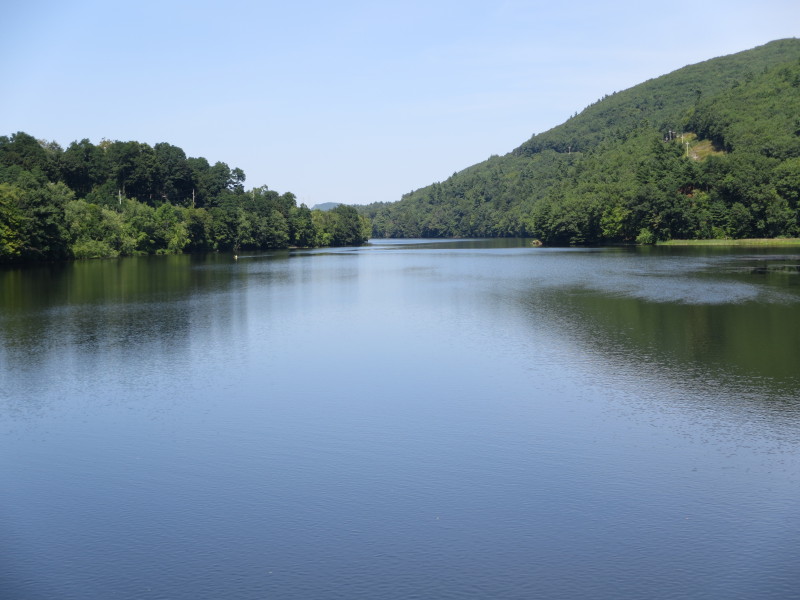
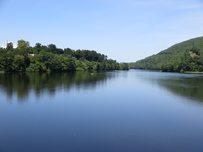
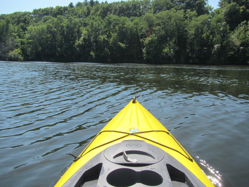
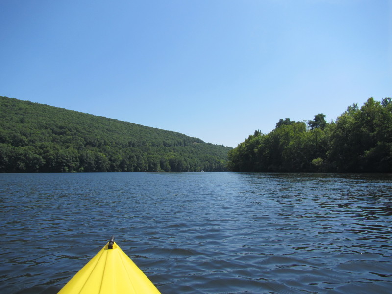
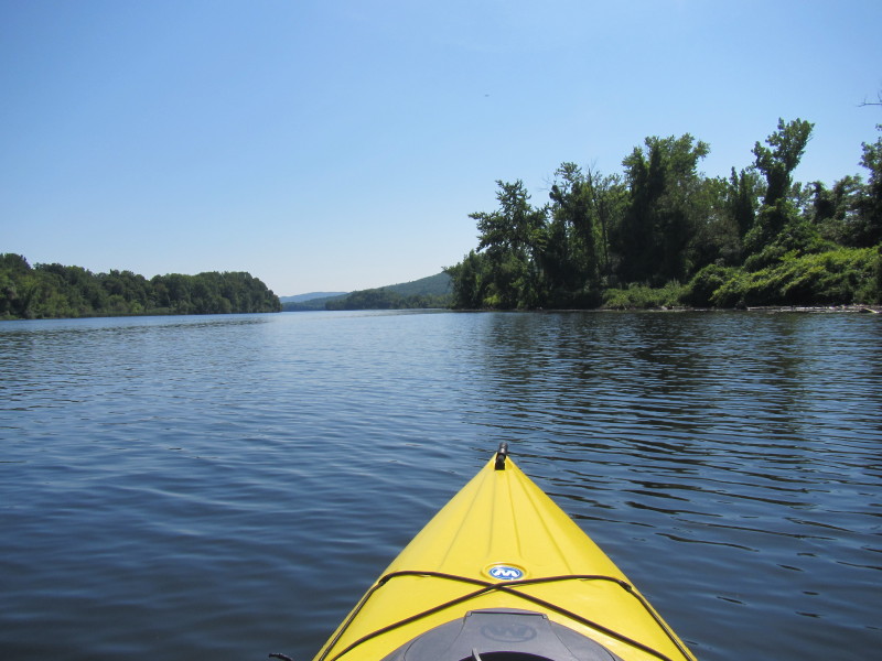
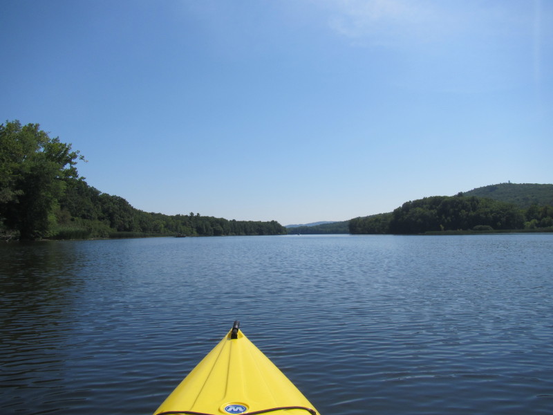
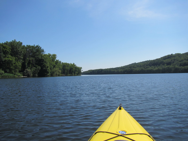
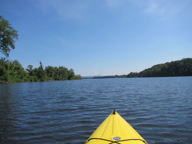
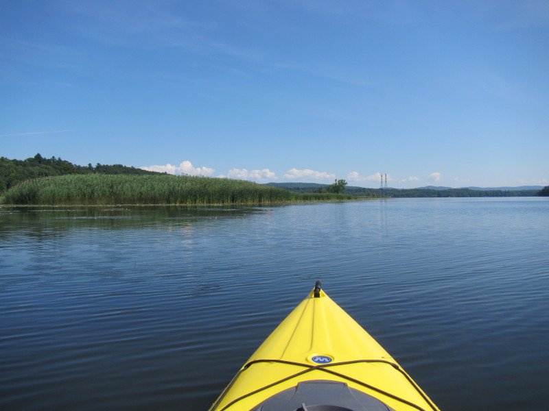
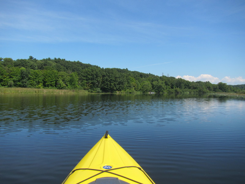
 I am aiming for the bridge straight ahead (not visible) behind this island . . .
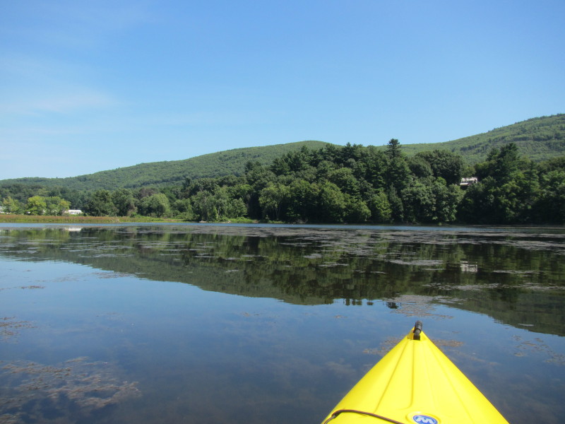
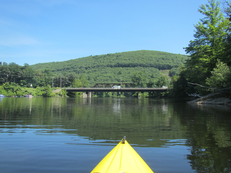
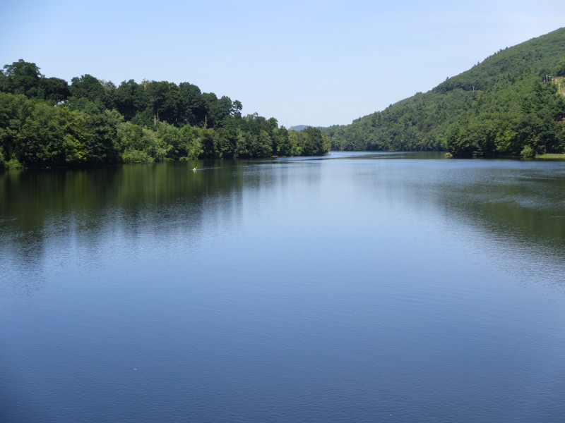
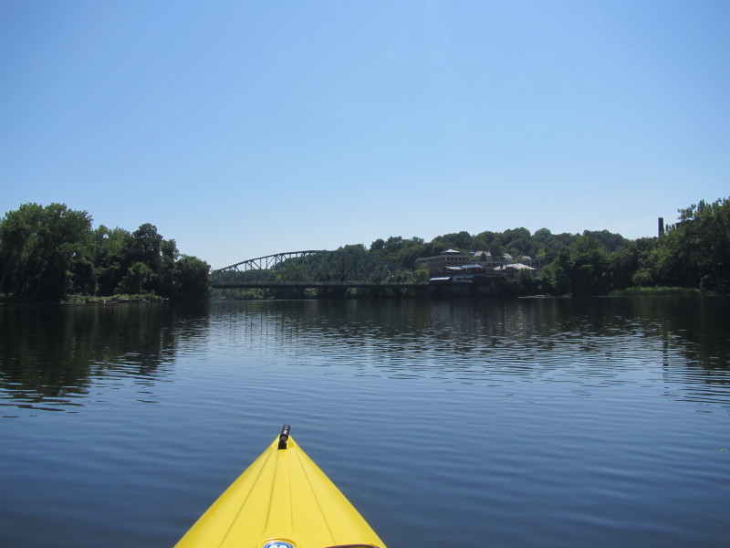
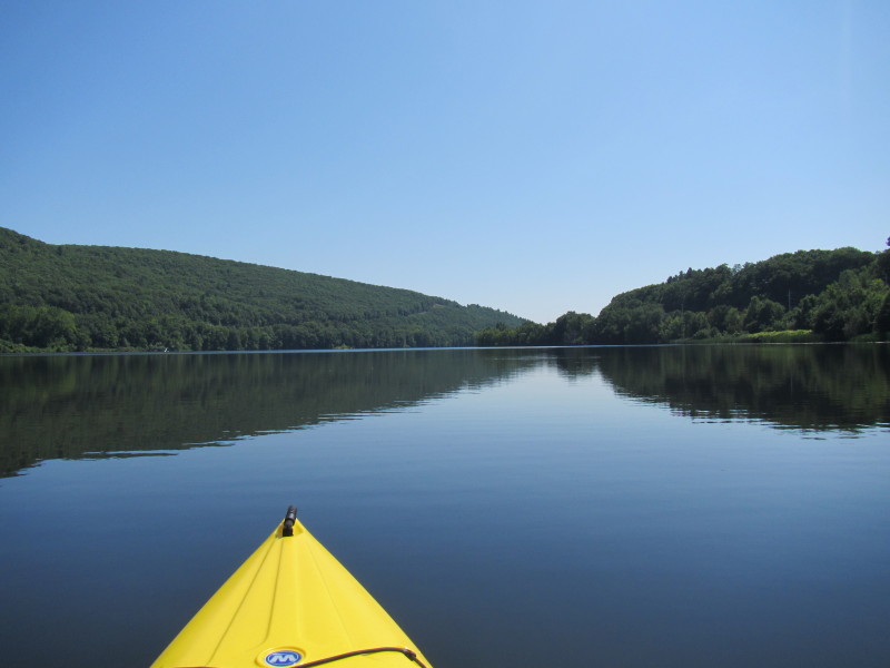
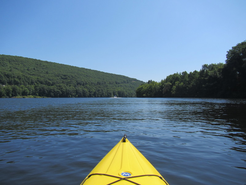
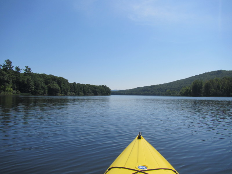
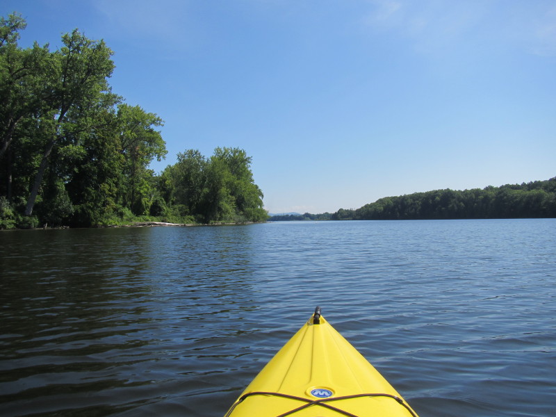
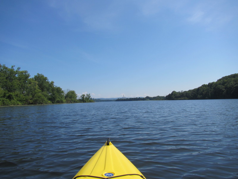
 Now I can see the Route 9 / Putney Road bridge.
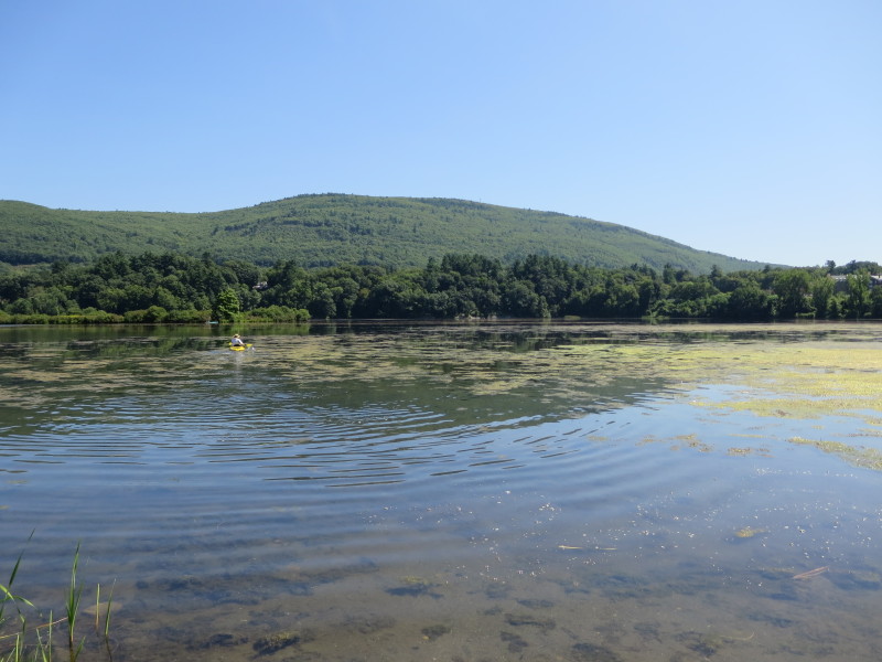
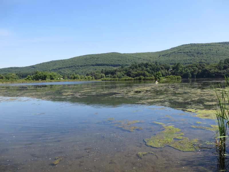
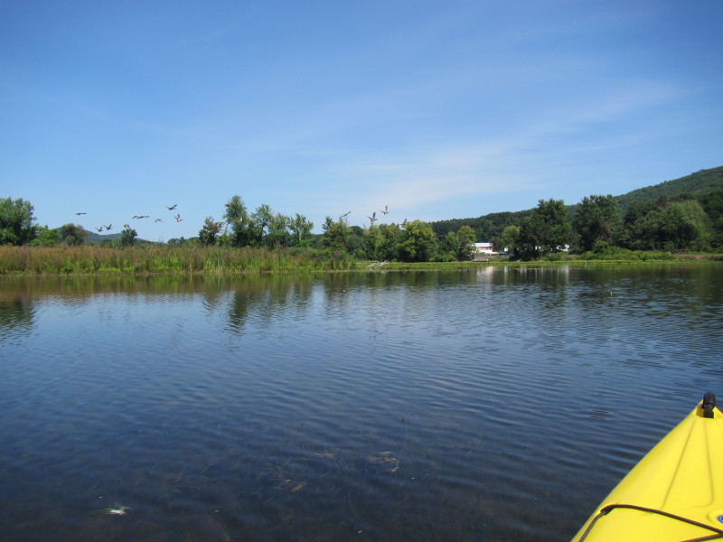
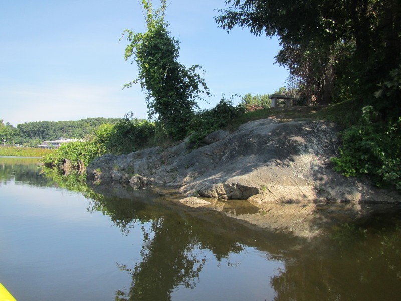
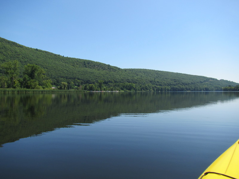
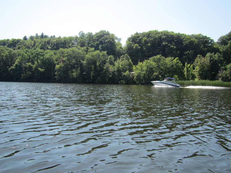
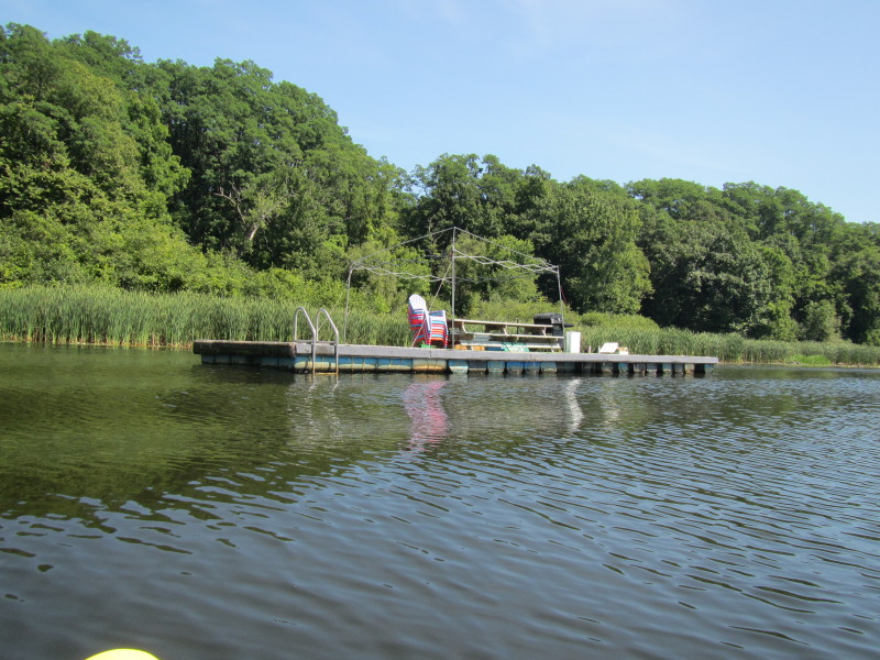
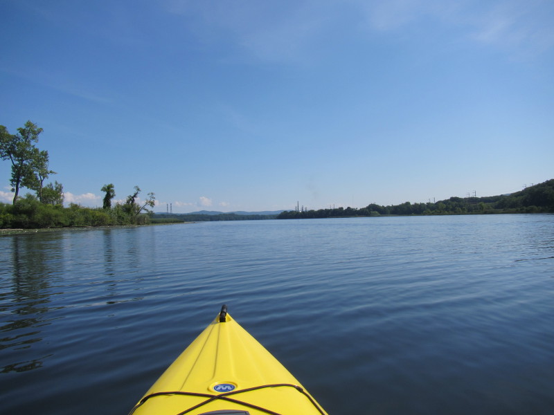
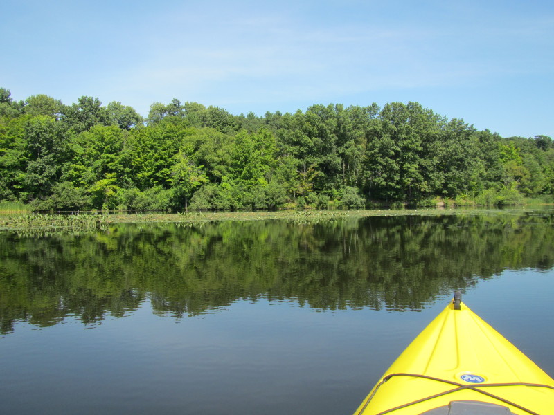
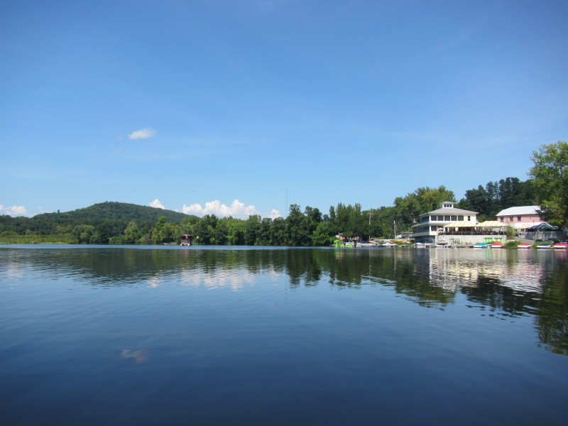 On my left is a marina.
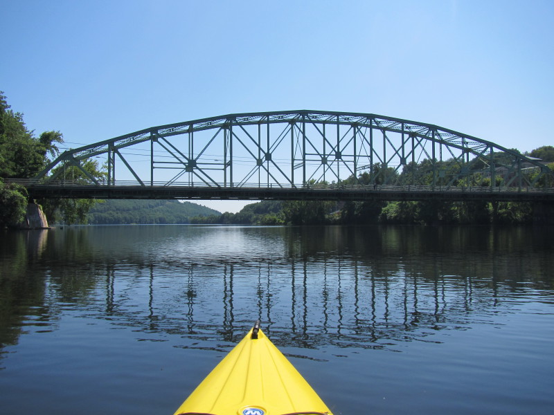
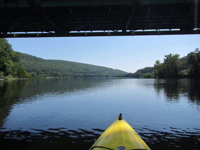
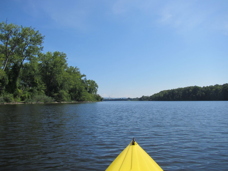
 Passing under the Route 9 bridge.
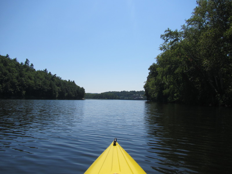
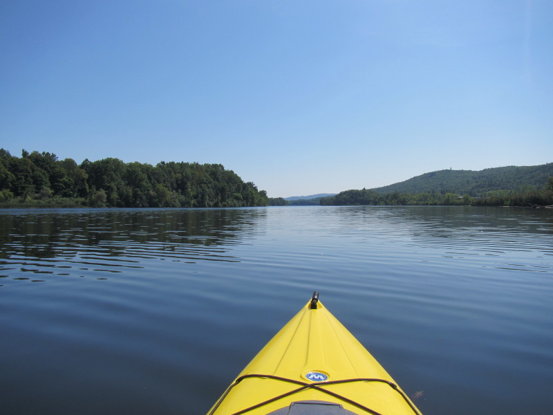
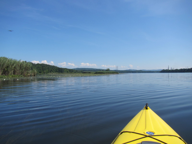
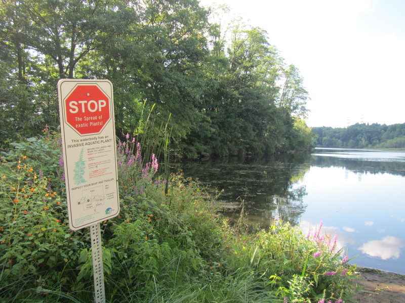
Approaching the mouth of the West River joining the Connecticut River. 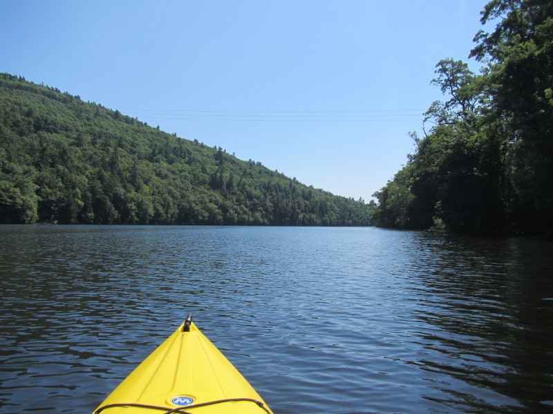 Turning left at the Connecticut River to paddle south with the flow.
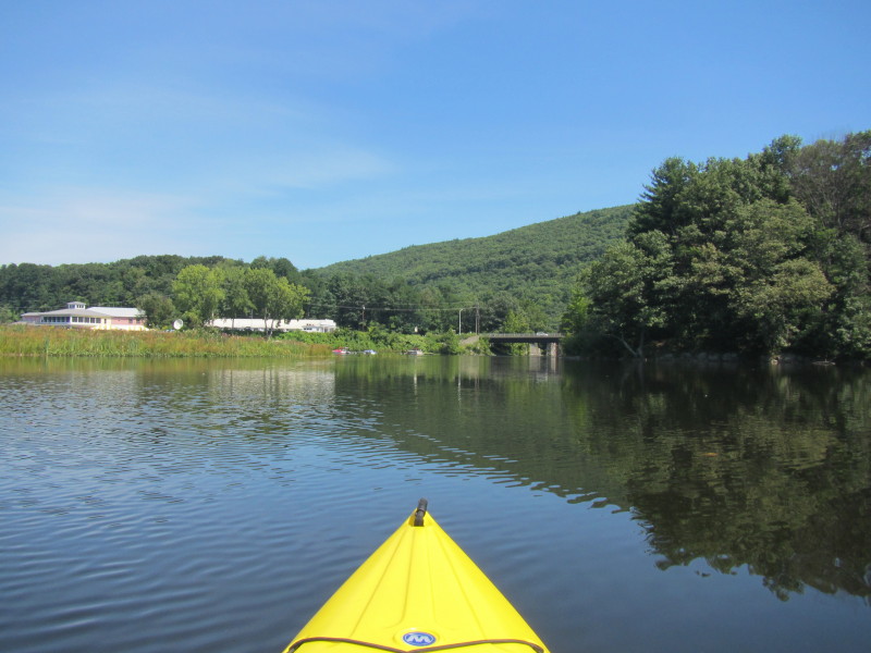
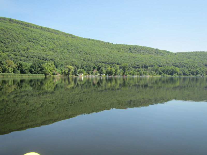
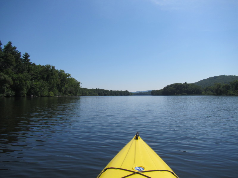
This river is the state border between New Hampshire on my left and Vermont on my right. 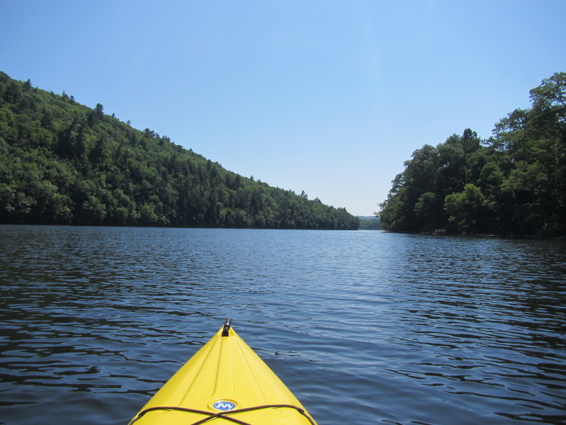 Wantastiquet Mountain on my left.
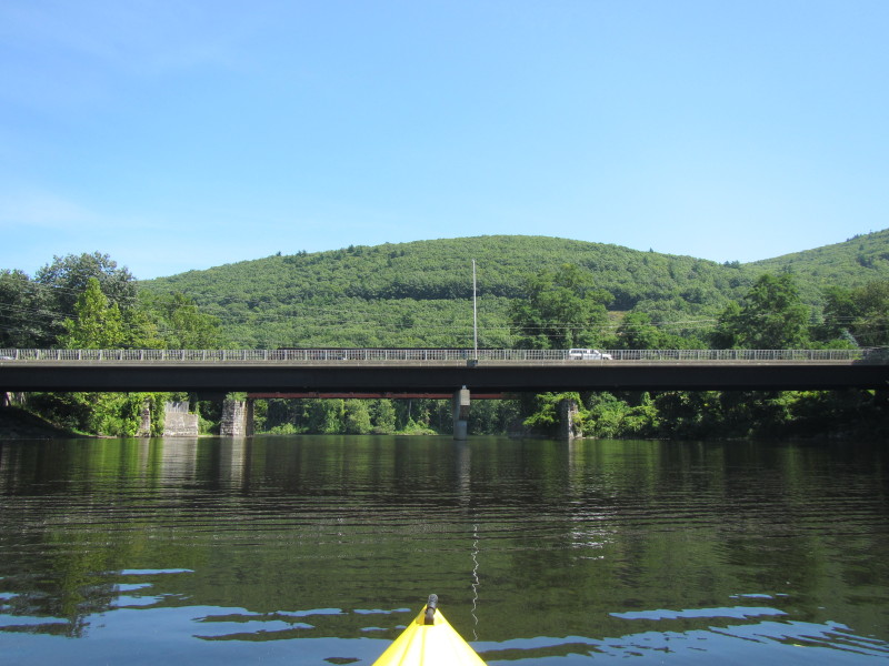
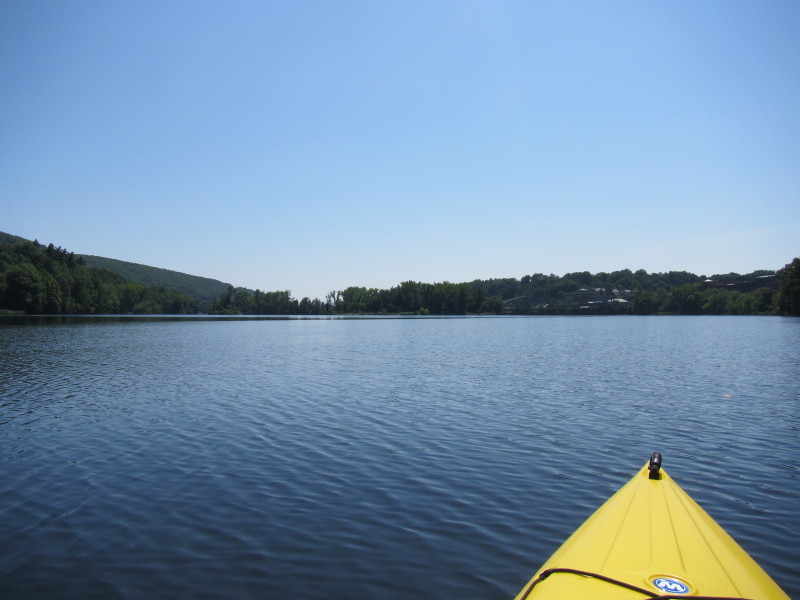
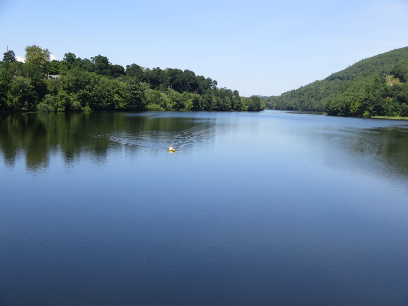
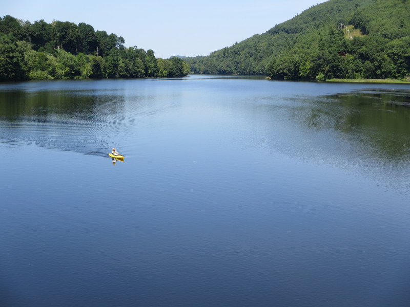
 The Boston Kayaker on the Connecticut River approacing the Route 119 bridge from the north.
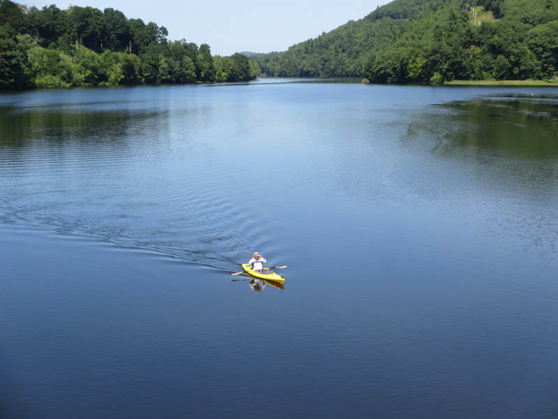
 The Boston Kayaker's son on the Route 119 bridge.
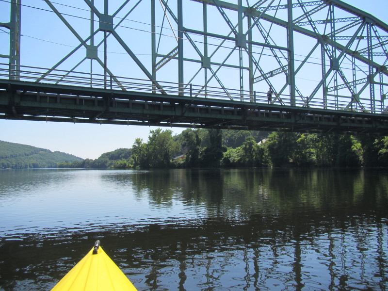
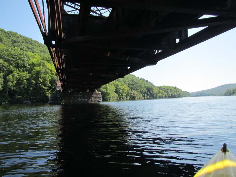
 Passing under the Route 119 bridge over the Connecticut River.
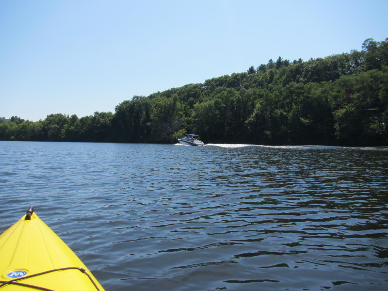
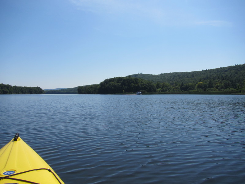
 Boat's wake.
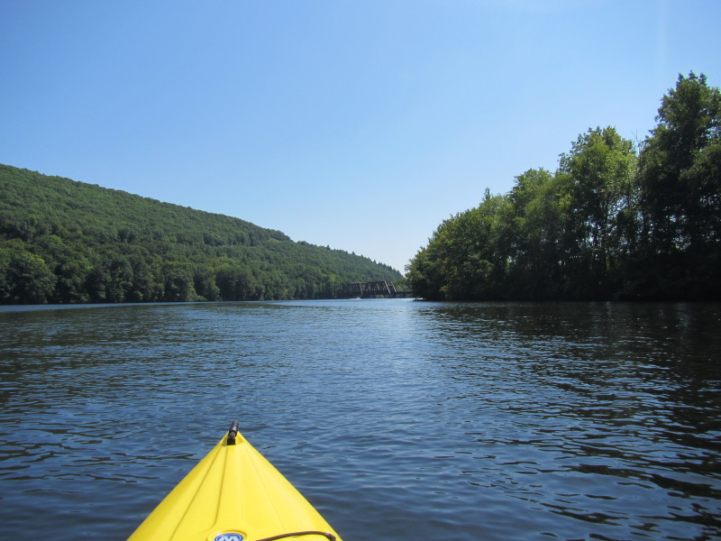
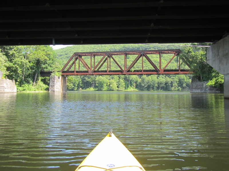
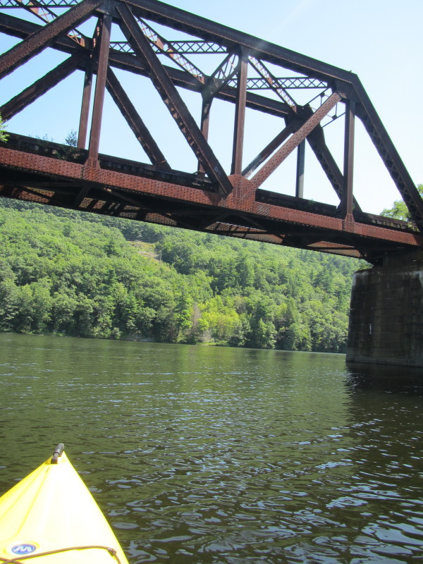
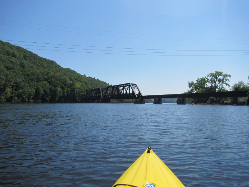
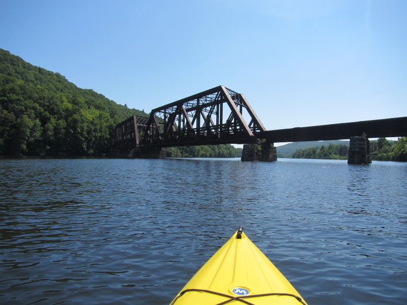
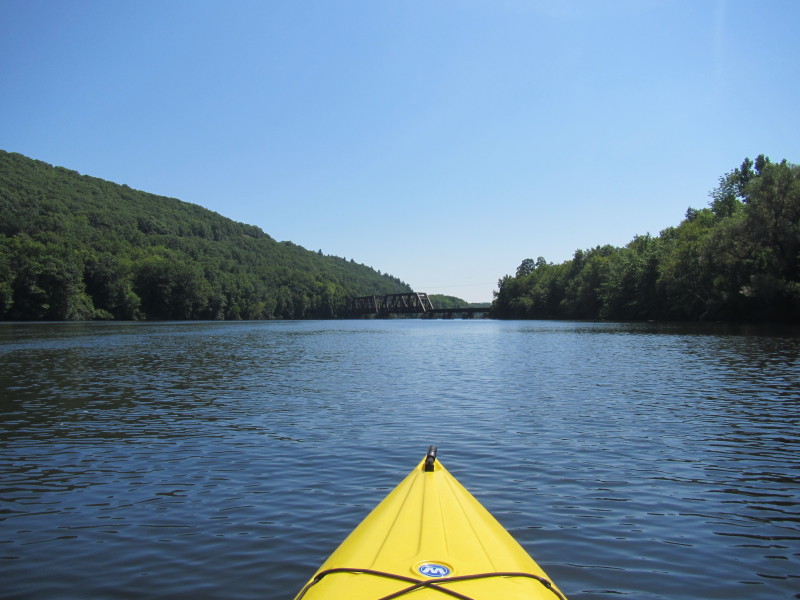 Approaching the rail bridge over the Connecticut River.
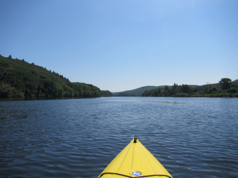
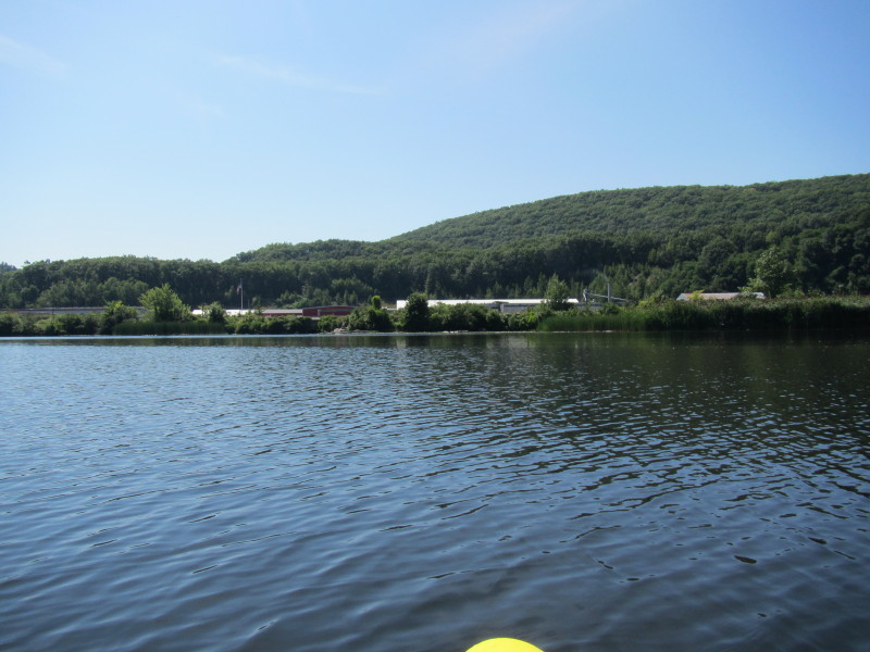
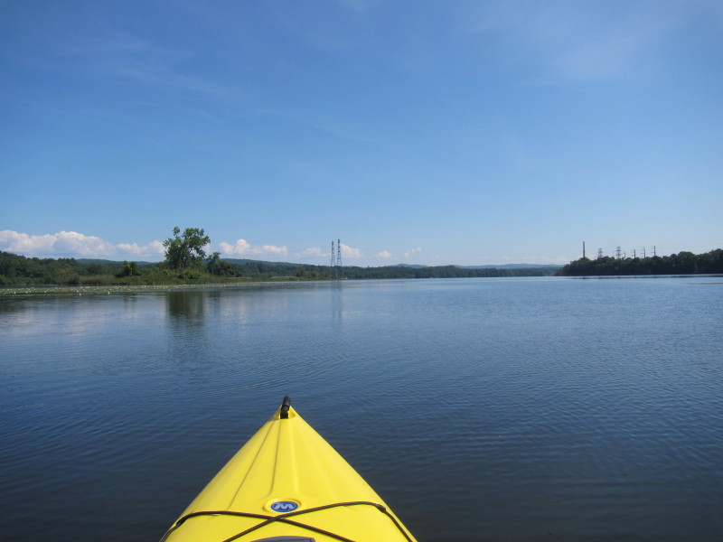 The power lines coming out of the nuclear plant (not visible) from the right bank.
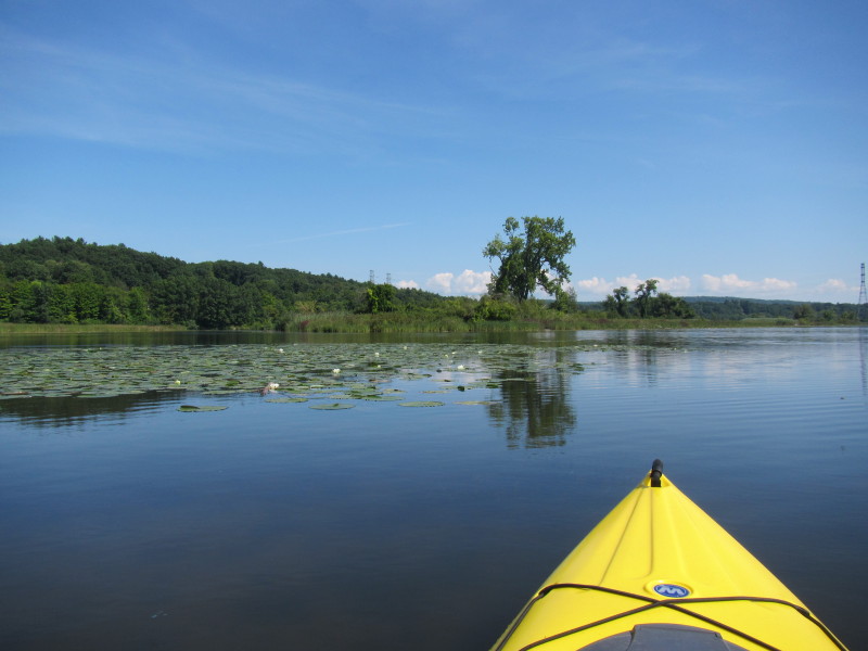
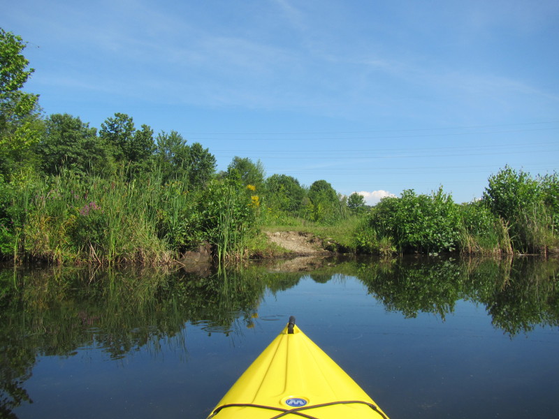
 It turned out I took a left turn too soon into this cove that will not get me to Prospect Street.
 I ended up landing on this land where I can walk up to Route 119.
Paddle time was 2 hours and 5 minutes. 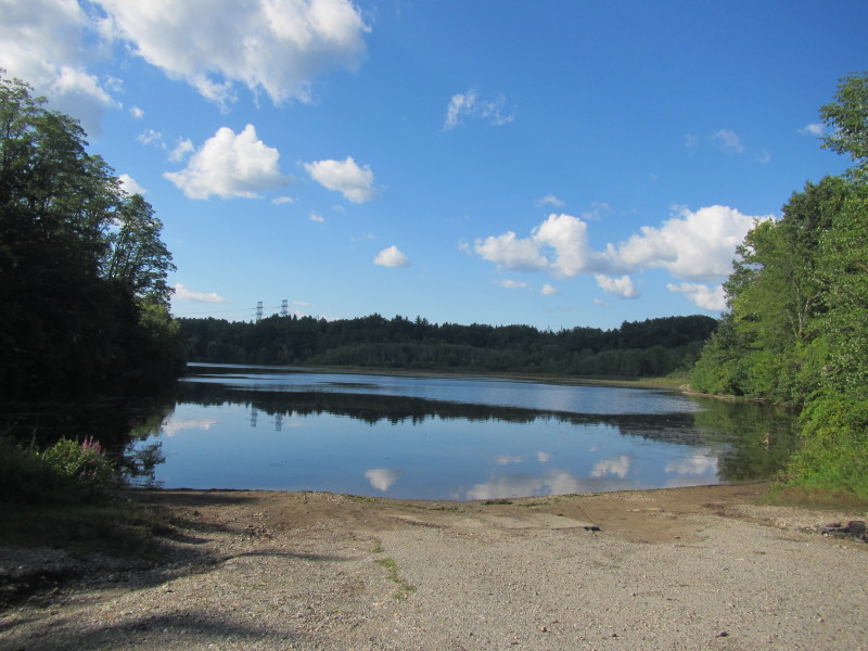 The designated take out at Prospect Street in Hinsdale NH.
|