 Kayaker

| |||||||||||||||||||||||


|
Download printer-friendly
PDF version that fits in one page: |

|
|
Other resources:
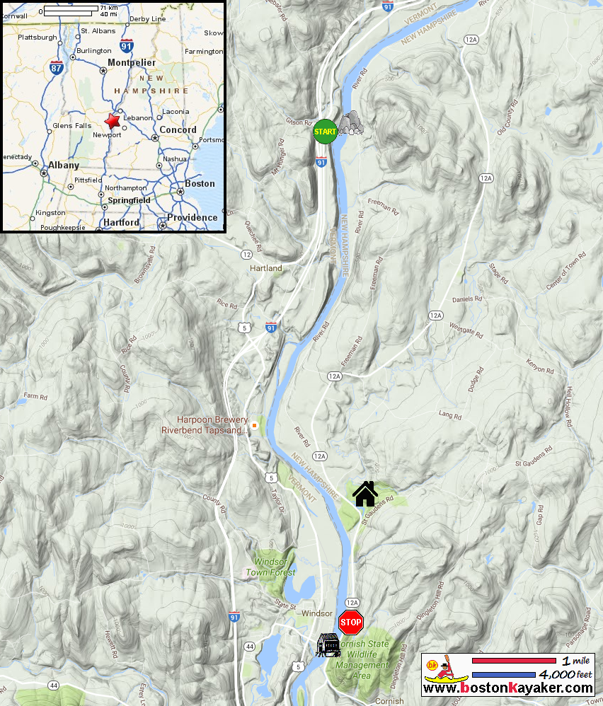
Connecticut River Paddlers' Trail Connecticut River Joint Commissions: Map 9 In the Shadow of Mt. Ascutney webpage Connecticut River Joint Commissions: Map 9 In the Shadow of Mt. Ascutney map Connecticut River Joint Commissions: Map 9 In the Shadow of Mt. Ascutney map (cached copy) National Parks Service: Saint-Gaudens National Historic Site VT Govt: Ascutney State Park All photos in this website are original and copyrighted. 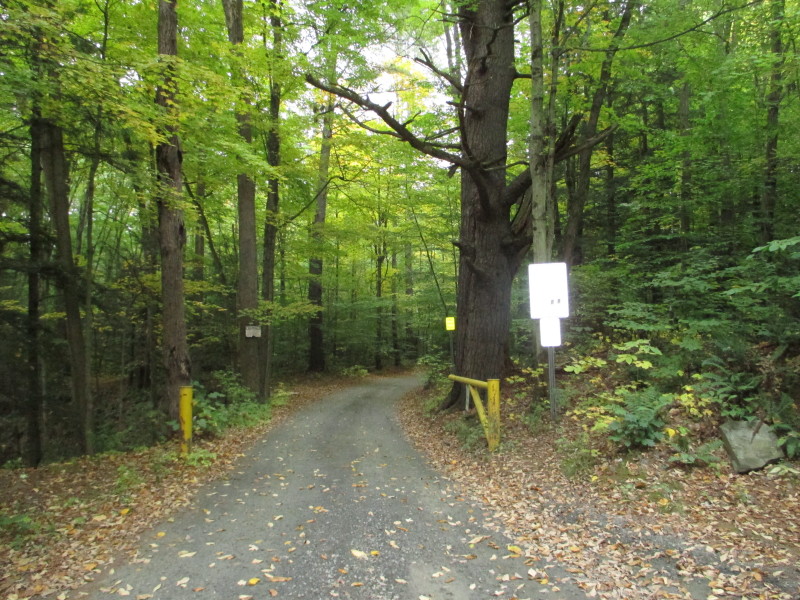 Off Route 5 just north where it goes under I-91 is an unnamed dirt road access to the Connecticut River in Hartland VT.
Pictures taken October 2016. 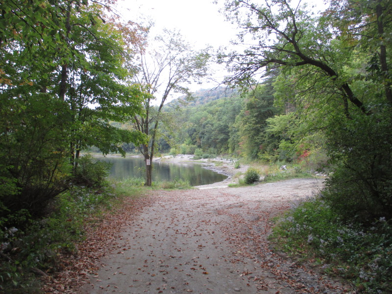 At the end of the dirt road is the put in to Connecticut River below the Ledge Island and Sumner Falls.
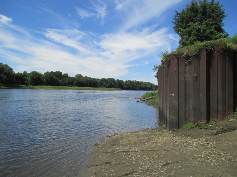
 The put in at left of picture seen from the Ledge Island.
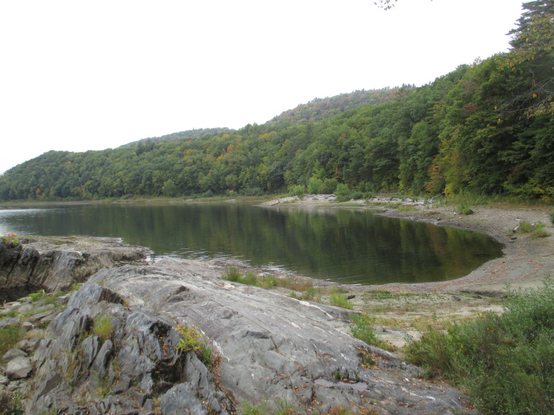
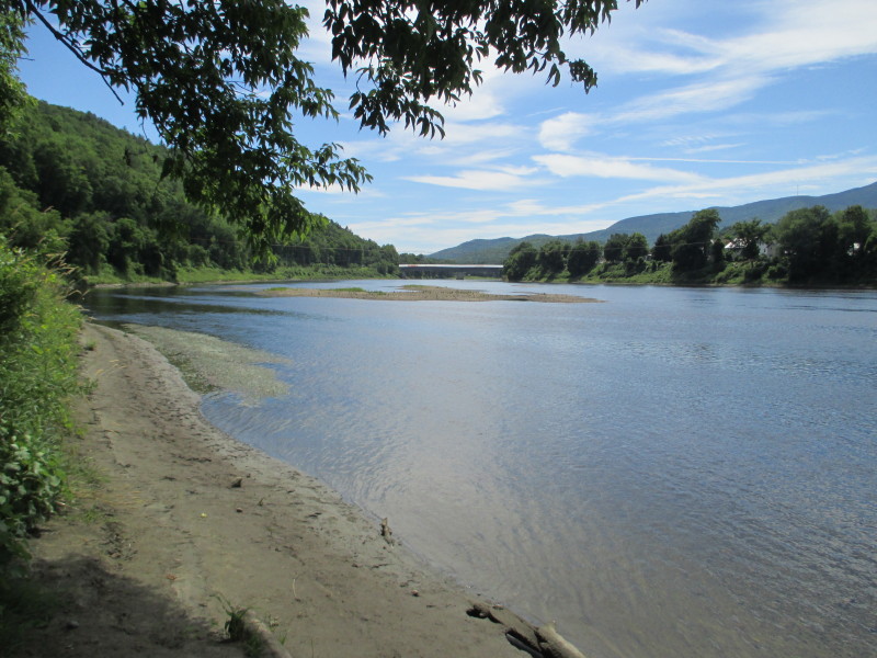
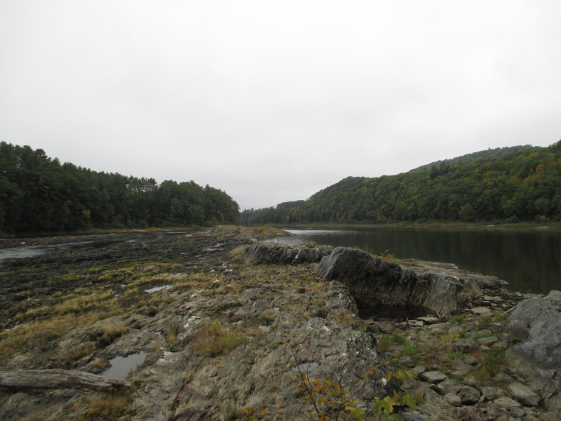 Looking upstream on Connecticut River from Ledge Island.
 On this short stretch, Connecticut River becomes Sumner Falls as it drops a few feet over and around the Ledge Island rocks.
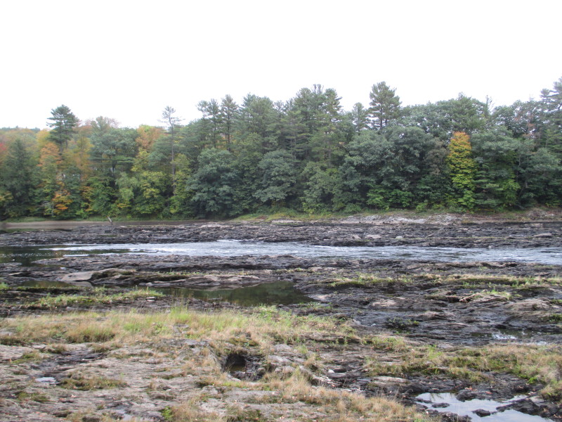
 Sumner Falls.
 Now at the take out on Route 12A in Cornish NH.
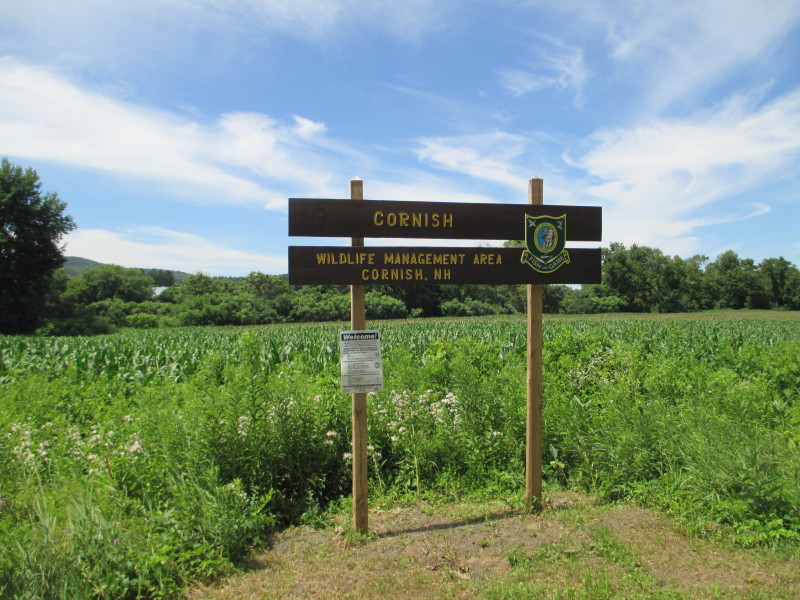
Pictures at the takeout (above and all below) taken July 2016. 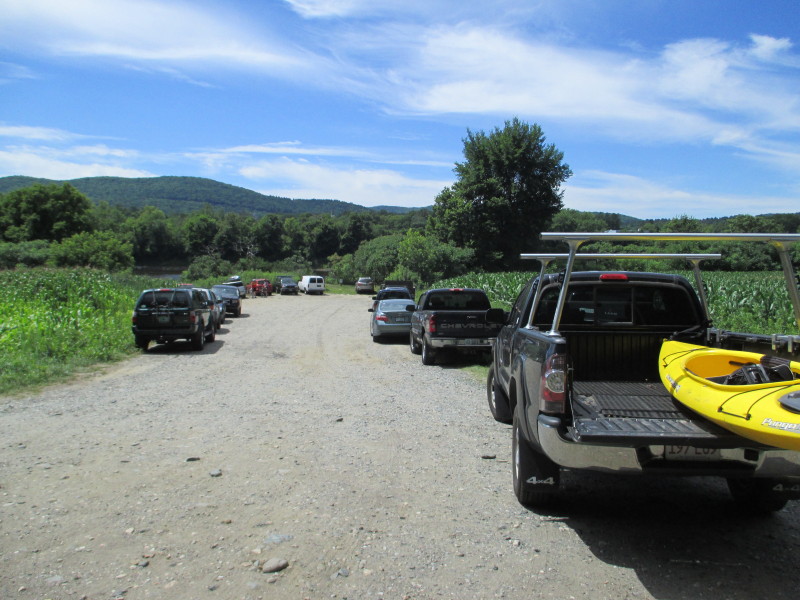 The access area is about half-mile north of the Cornish-Windsor Covered Bridge
and has enough space to park 10+ cars in the middle of corn fields. 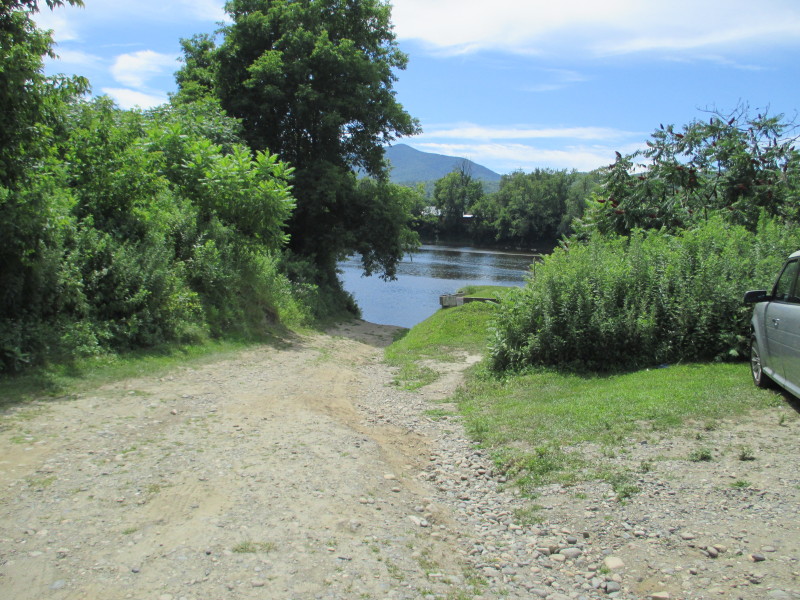 The take out from the Connecticut River at the Cornish Wildlife Management Area.
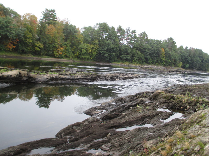
 Looking upstrream at the Connecticut River from the take out.
 Looking downstream from the put in, the Cornish-Windsor covered bridge.
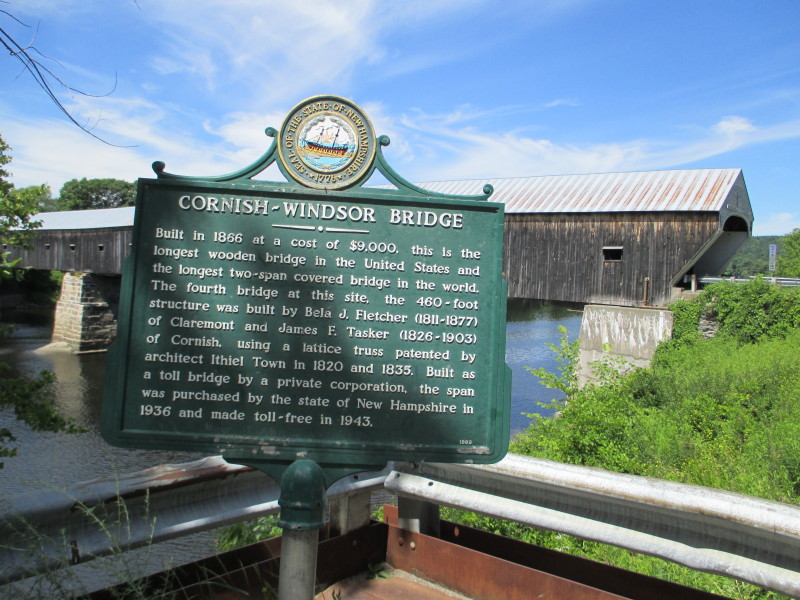 The Cornish-Windsor covered bridge historical marker on Route 12A in Cornish NH.
Built in 1866 at a cost of $9,000, this is the longest wooden bridge in the United States and the longest two-span covered bridge in the world. The fourth bridge at this site, the 460-foot structure was built by Bela J. Fletcher (1811-1877) of Claremont and James F. Tasker (1826-1903) of Cornish, using a lattice truss patented by architect Ithiel Town in 1820 and 1835. Built as a toll bridge by a private corporation, the span was purchased by the state of New Hampshire in 1936 and made toll-free in 1943. 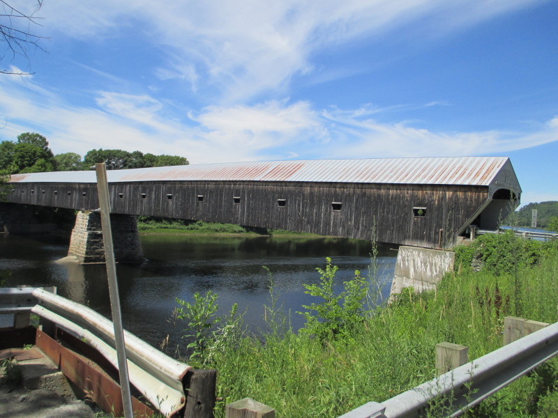 The Cornish-Windsor Covered Bridge viewed from the south-east side.
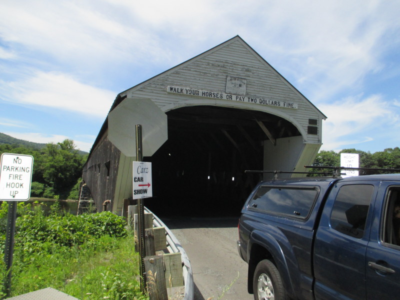 Sign on the Cornish-Windsor Covered bridge:
WALK YOUR HORSES OR PAY 2 DOLLARS FINE Inside the Cornish-Windsor Covered Bridge. 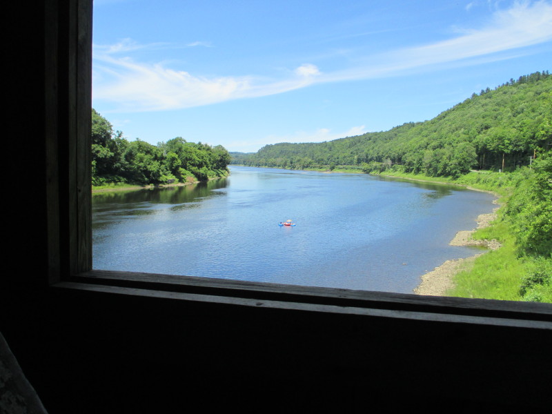 Looking upstream on Connecticut River from the Cornish-Windsor covered bridge.
|