 Kayaker

|


|
Download printer-friendly
PDF version that fits in one page: |

|
|
Other resources:
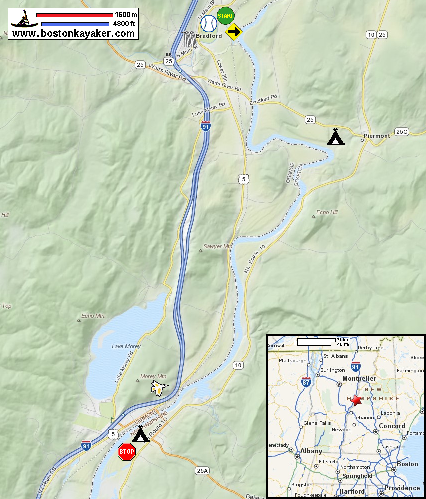
Connecticut River Paddlers' Trail Connecticut River Joint Commissions: Map 6 Orford / Fairlee webpage Connecticut River Joint Commissions: Map 6 Orford / Fairlee map Connecticut River Joint Commissions: Map 6 Orford / Fairlee map (cached copy) All photos in this website are original and copyrighted. 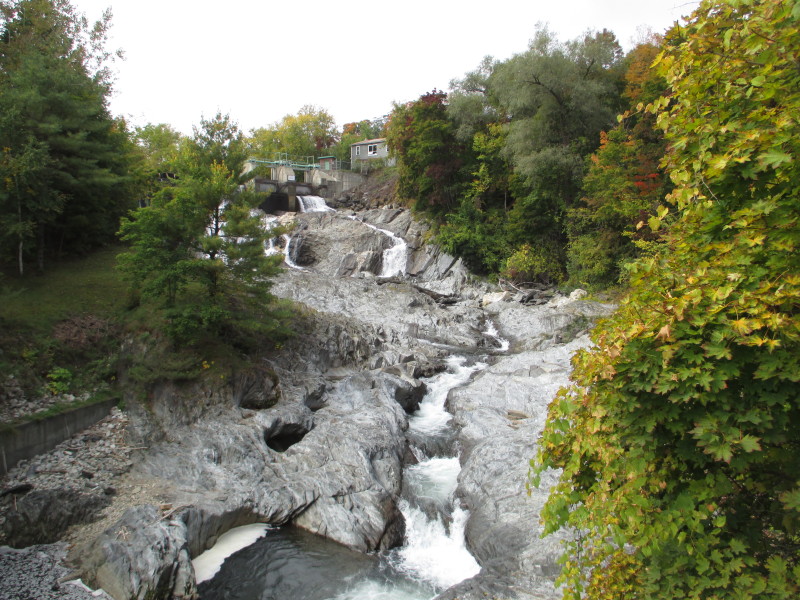 The Bradford Falls on Route 5 in Bradford VT a short distance from the put in at Dow Meadown Lane.
Pictures taken October 2016. 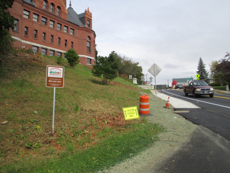 Welcome to Bradford VT.
 At the corner of North Main Street and Dow Meadow Lane in Bradford VT.
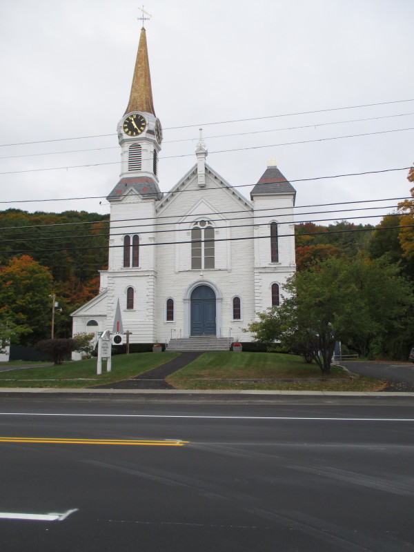
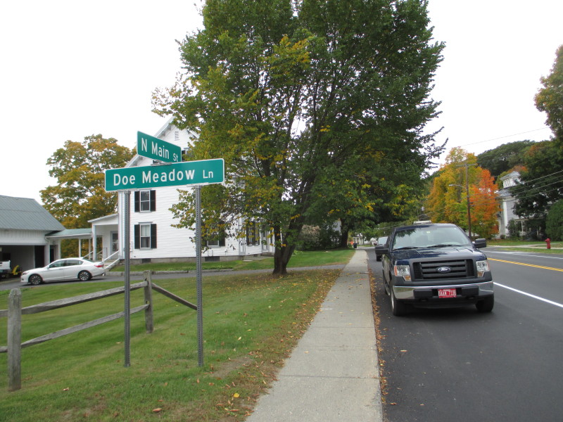
In front of the Dow Meadow Lane intersection is this church on North Main Street. 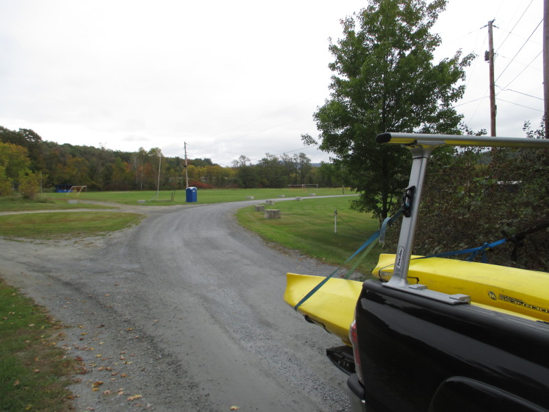 At the bottom of Dow Meadow Lane is the Memorial Field.
Access to the Waits River (and Connecticut River) is at the back of this field. 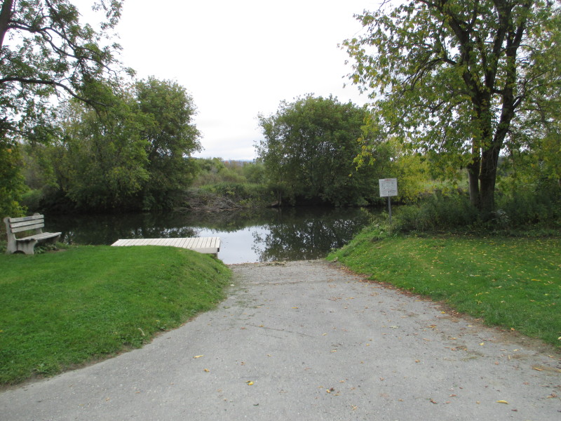 The ramp to Waits River at the Memorial Field in Bradford VT.
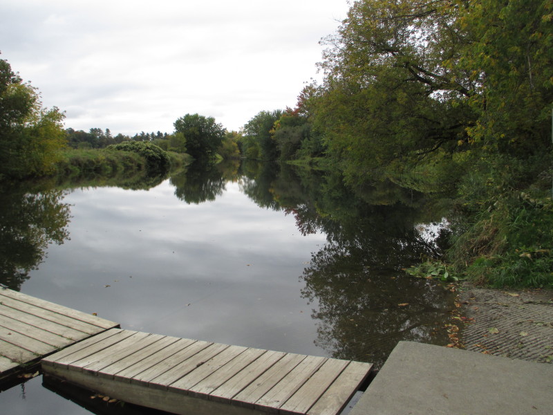 Looking upstream at Waits River from the put in.
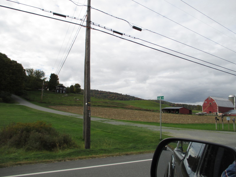 Along Route 5 in Vermont between put and take out.
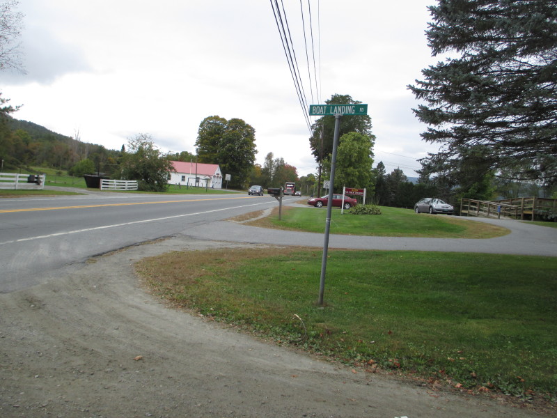 Now at the takeout at River Road and Boat Landing Road in Orford NH.
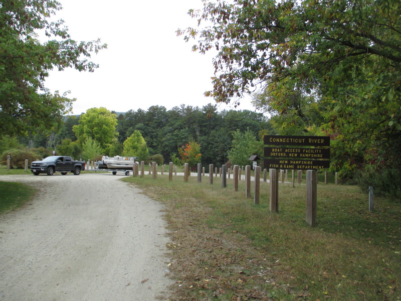 The launch area to Connecticut River at Boat Landing Road in Orford NH.
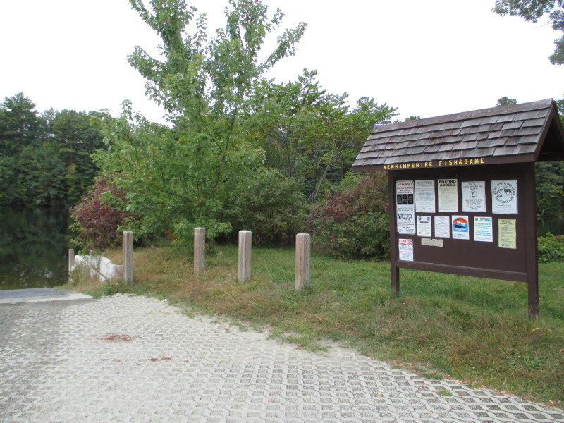 The ramp to Connecticut River at Orford NH.
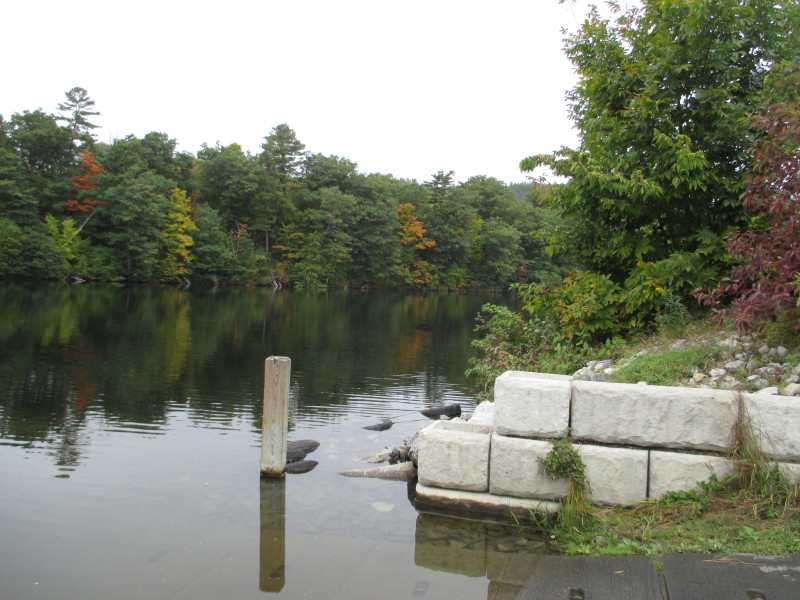 Looking at Connecticut River to the right upstream from the ramp in Orford NH.
|