 Kayaker

|


|
Download printer-friendly
PDF version that fits in one page: |

|
|
Other resources:
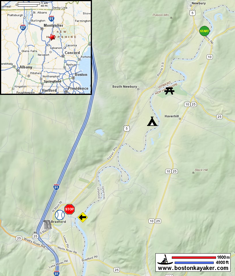
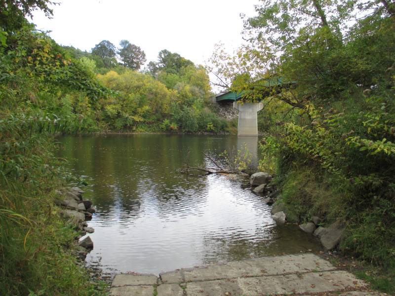
Connecticut River Paddlers' Trail Connecticut River Joint Commissions: Map 5 Lower Woodsville / Wells River webpage Connecticut River Joint Commissions: Map 5 Lower Woodsville / Wells River map Connecticut River Joint Commissions: Map 5 Lower Woodsville / Wells River map (cached copy) NH Govt.: Bedell Bridge State Historic Site All photos in this website are original and copyrighted. 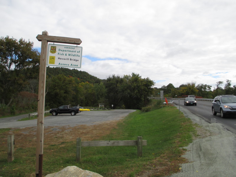 At the public access to the Connecticut River on Newbury Crossing Road in Newbury VT.
The launch area is on the northwest side of the Haverill Bridge. Pictures taken October 2016. 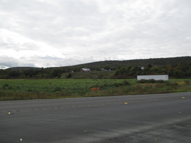 Newbury Crossing Road has pumpkin farms on both sides.
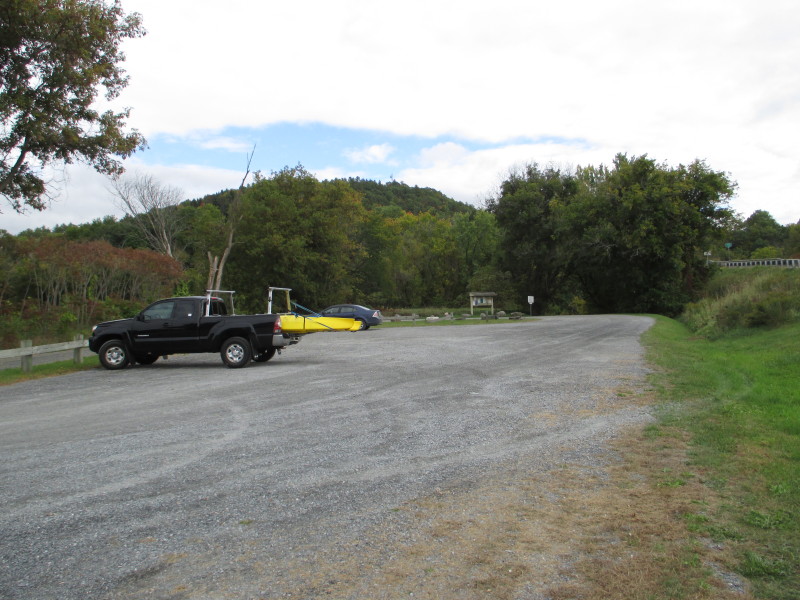
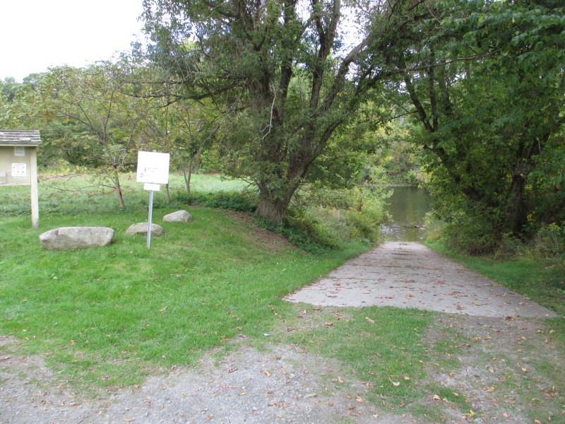 The ramp to Connecticut River at Newbury VT.
 The put in is on upstream side of Haverill Bridge.
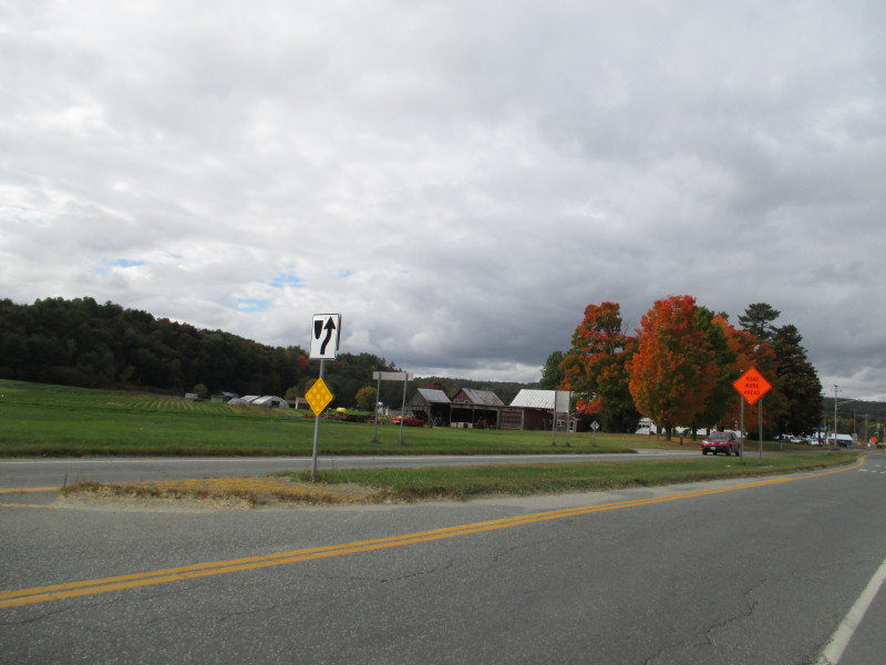 On Route 5 in Bradford VT.
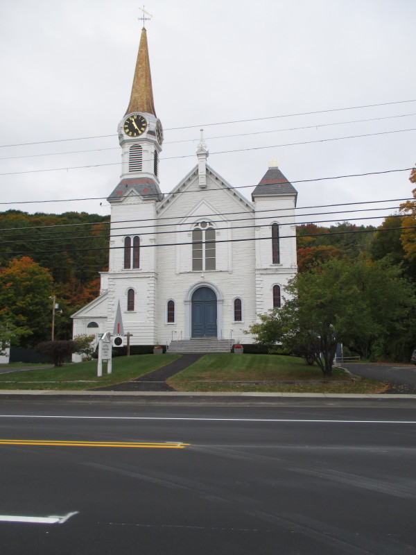
Now at the intersection of North Main Street (Route 5) and Dow Meadow Lane in Bradford VT. This church marks the turn to the take out. 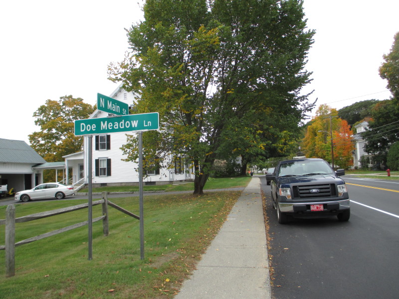 At the corner of Dow Meadow Lane and Route 5.
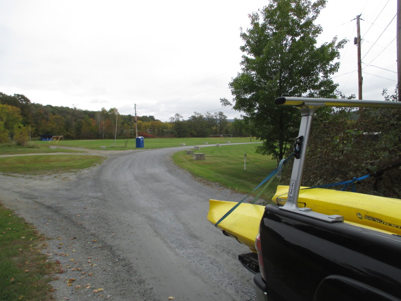 The Memorial Field at the bottom of Dow Meadow Lane.
The access to Waits River (and Connecticut River) is at the back of the field. 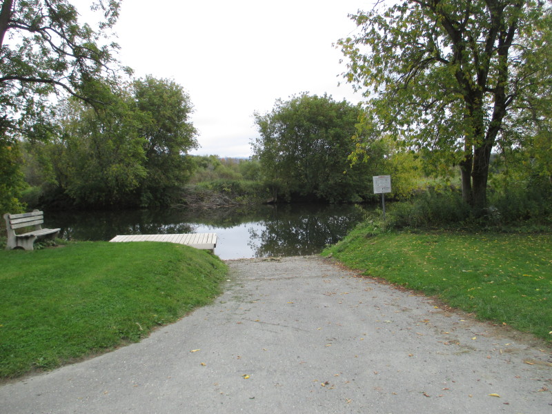 The take out at Waits River at Memorial Field in Bradford VT.
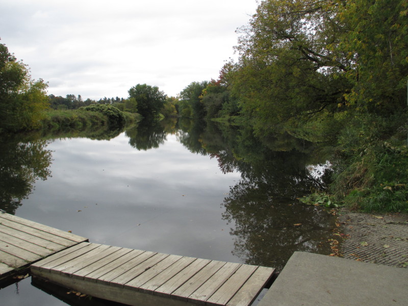 Looking to the left upstream at Waits River from the take out.
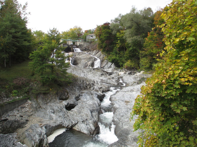 About half-mile from the take out on Route 5 is the Bradford Falls.
|