 Kayaker

| |||||||||||||||||||||||


|
Download printer-friendly
PDF version that fits in one page: |

|
|
Other resources:
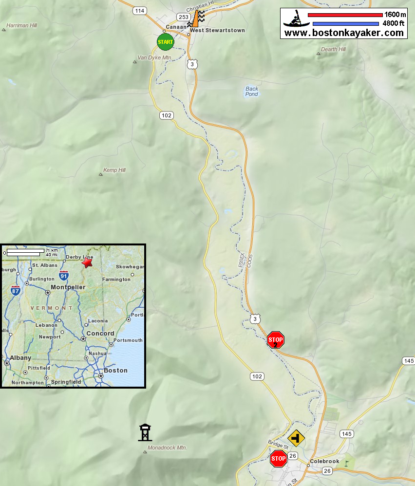
Connecticut River Paddlers' Trail Connecticut River Joint Commissions: Map 2 The North Country webpage Connecticut River Joint Commissions: Map 2 The North Country map Connecticut River Joint Commissions: Map 2 The North Country map (cached copy) All photos in this website are original and copyrighted. 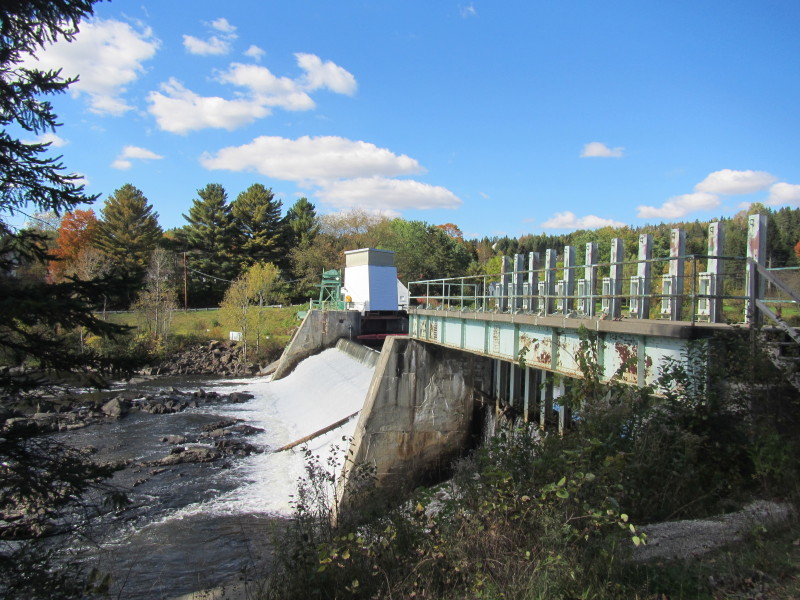 The Canaan Dam on the Connecticut River.
Pictures taken September 2013. 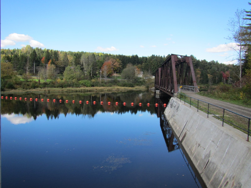 Buoys above the Canaan Dam.
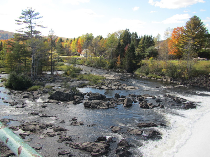 Looking below the Canaan Dam.
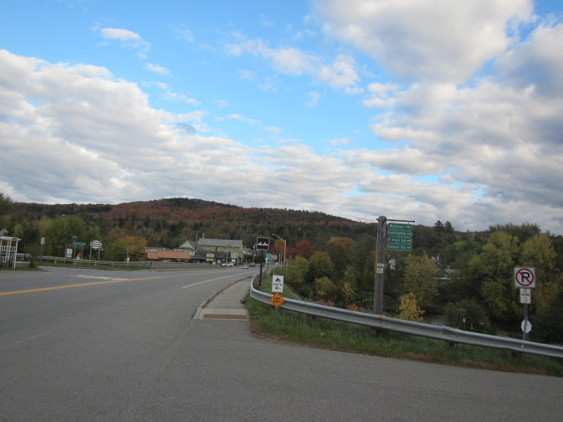
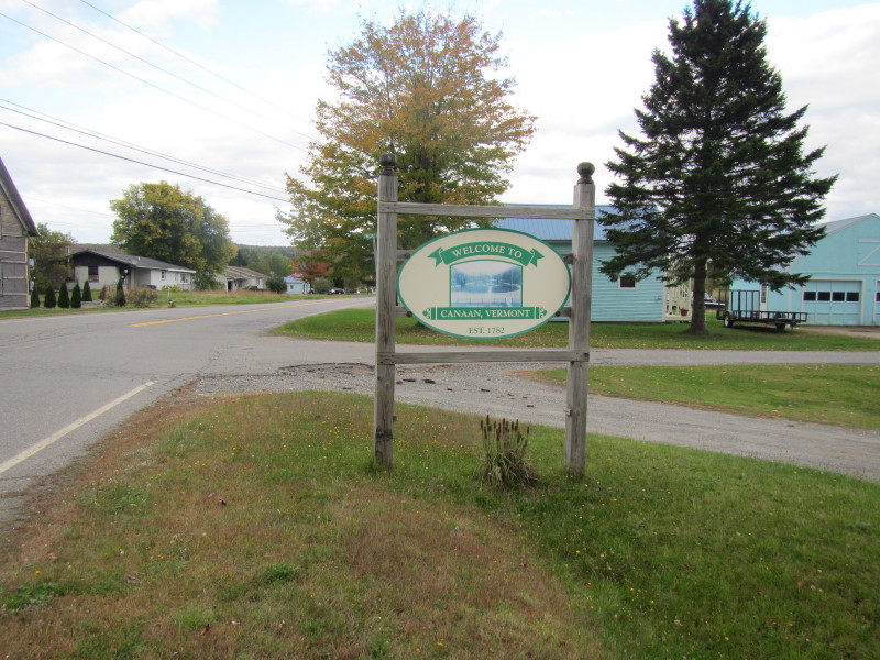 The road mark to Canaan VT.
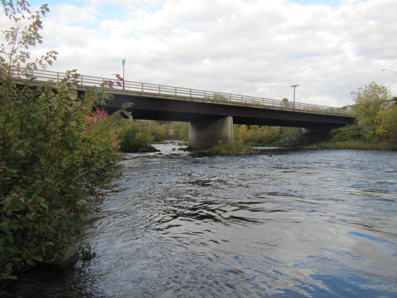
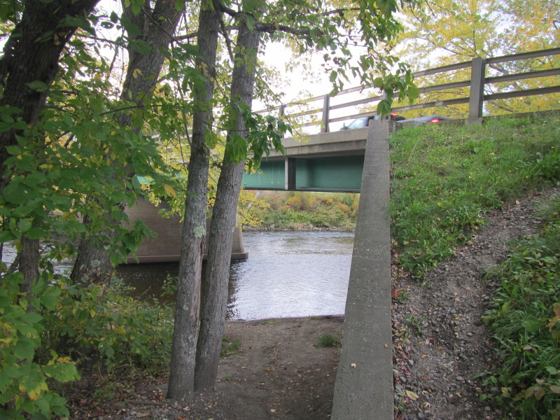
 The Route 114 bridge over the Connectict River.
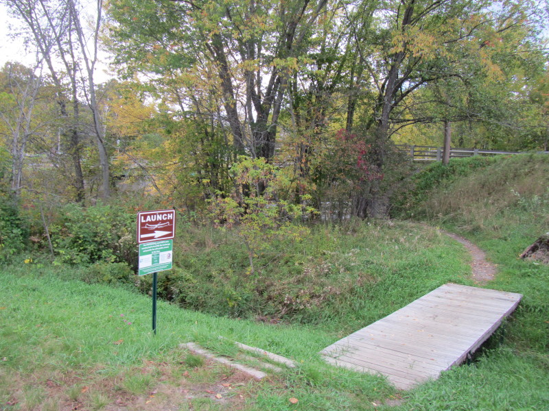
River access is on the southwest side of this bridge. 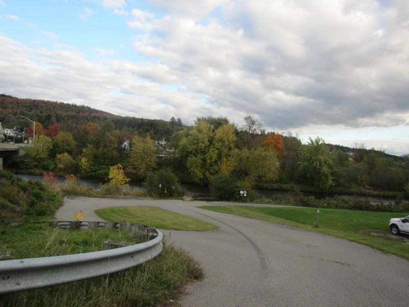 The launch area at the Route 114 bridge in Canaan VT.
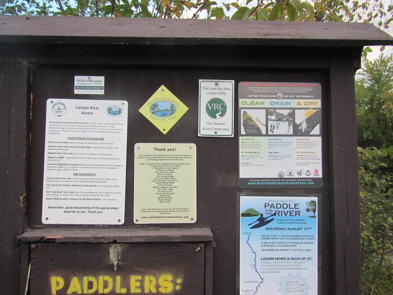 Information kiosk on the Route 114 Canaan VT launch area.
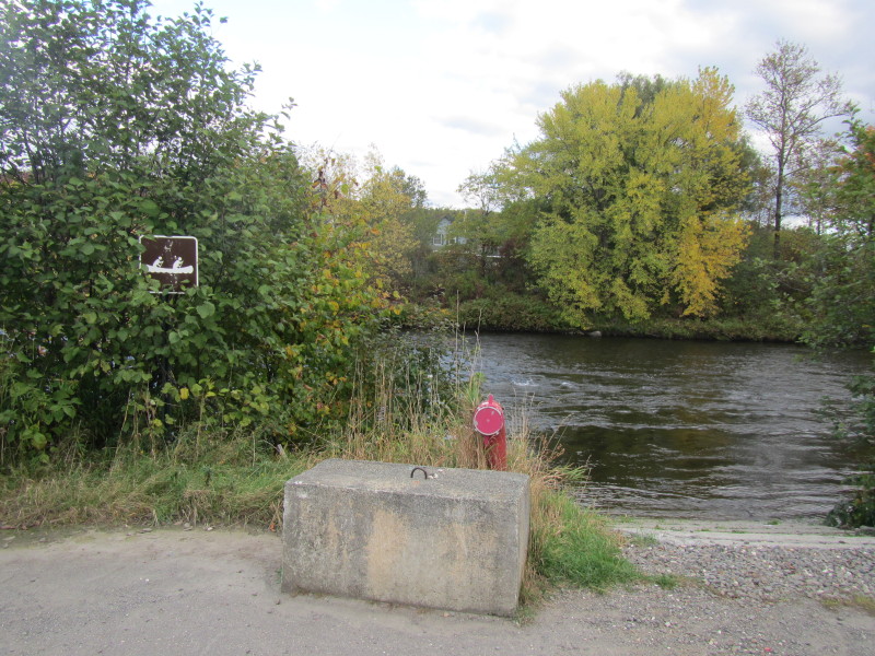
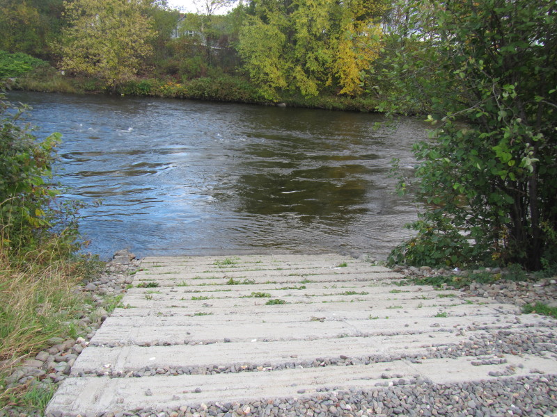 The boat ramp to the Connecticut River at the Route 114 bridge in Canaan VT.
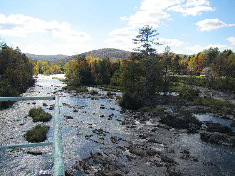
 Looking upstream from the put in, the Route 114 bridge over the Connecticut River.
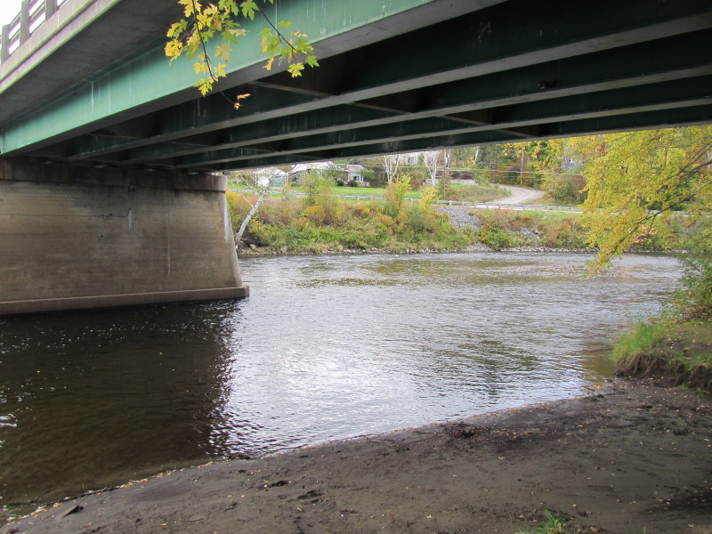
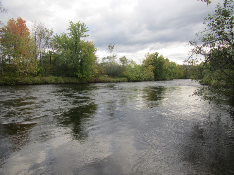 Looking downstream on the Connecticut River from the Route 114 bridge ramp.
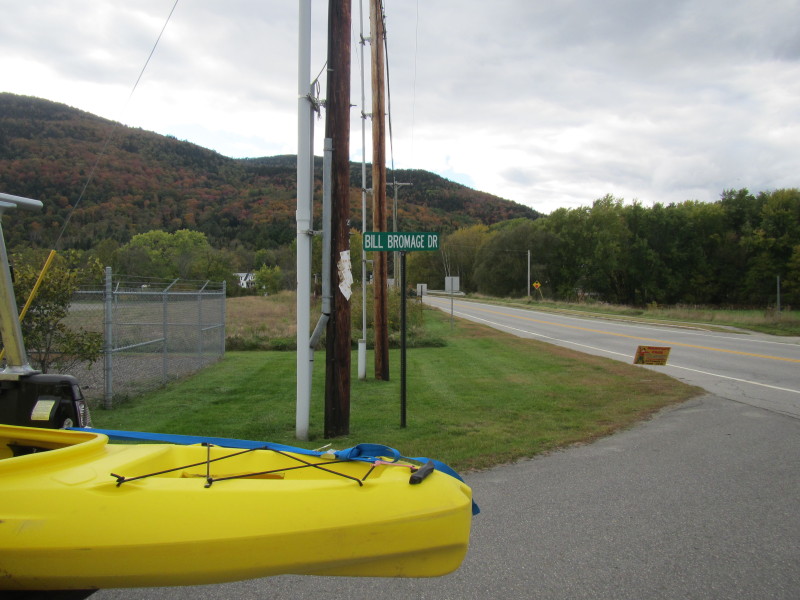 The take out is at the New Hampshire side of the Route 26 bridge on a side
stree Bill Bromage Drive in Colebrook NH.
The take out is at the New Hampshire side of the Route 26 bridge on a side
stree Bill Bromage Drive in Colebrook NH.
 The take out is right under the downstream side of the bridge.
 The access to the Connecticut River under Bridge Street in Colebrook NH.
|