 Kayaker

|


|
Download printer-friendly
PDF version that fits in one page: |

|
|
Other resources:
LakeLubbers.com: First Connecticut Lake Connecticut River Paddlers' Trail Connecticut River Joint Commissions: Map 1 Connecticut Lakes webpage Connecticut River Joint Commissions: Map 1 Connecticut Lakes map Connecticut River Joint Commissions: Map 1 Connecticut Lakes map (cached copy) Paddling.net: Connecticut Lakes Kayak Trip Report All photos in this website are original and copyrighted.  In Pittsburg NH.
Trip date is September 2013. 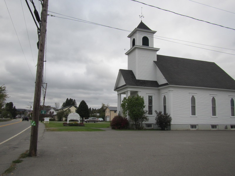
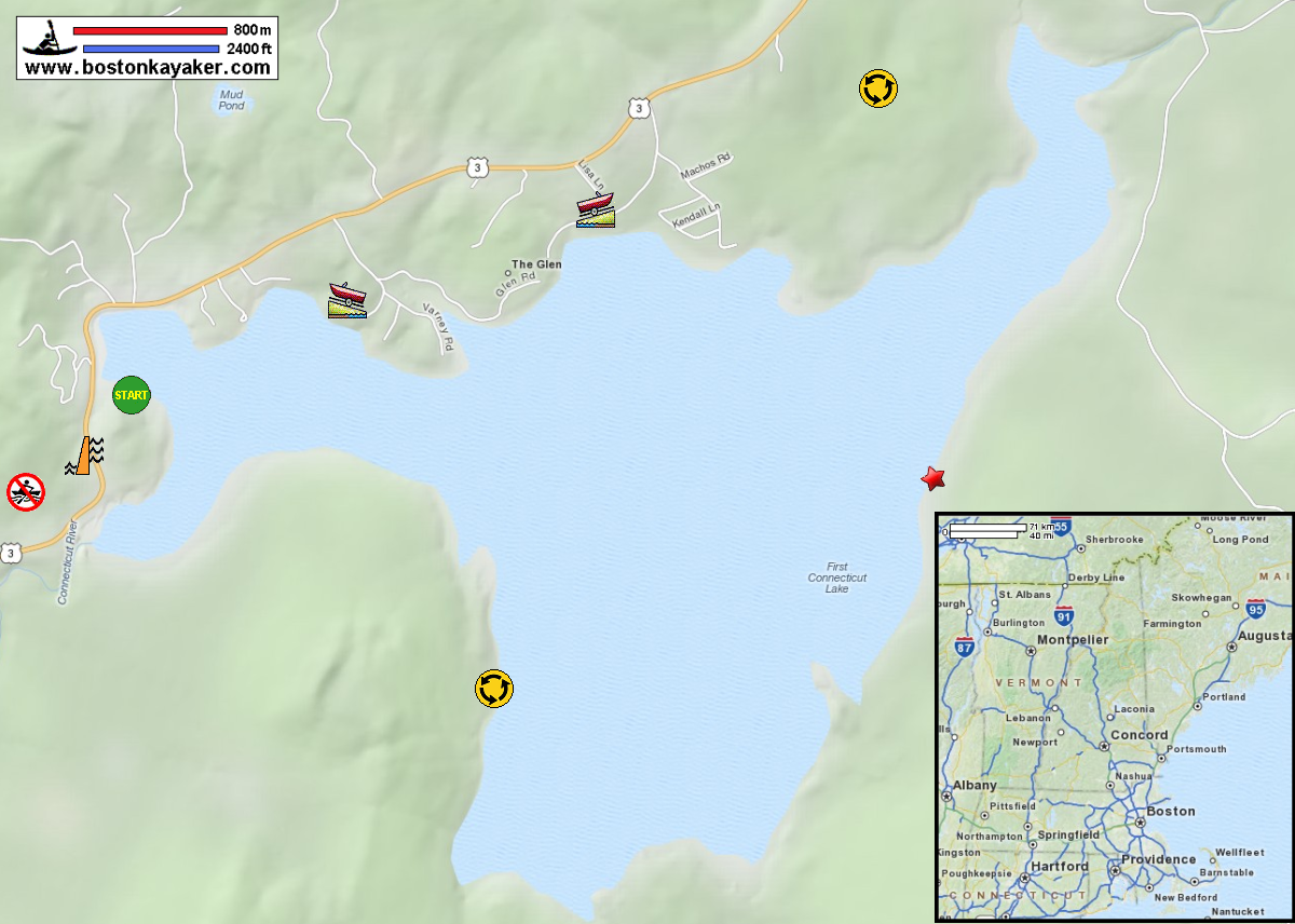
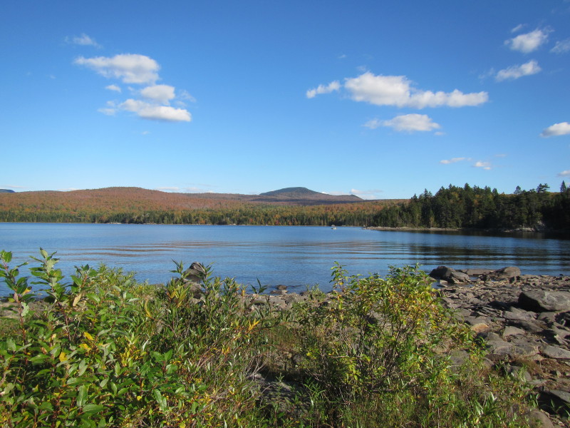
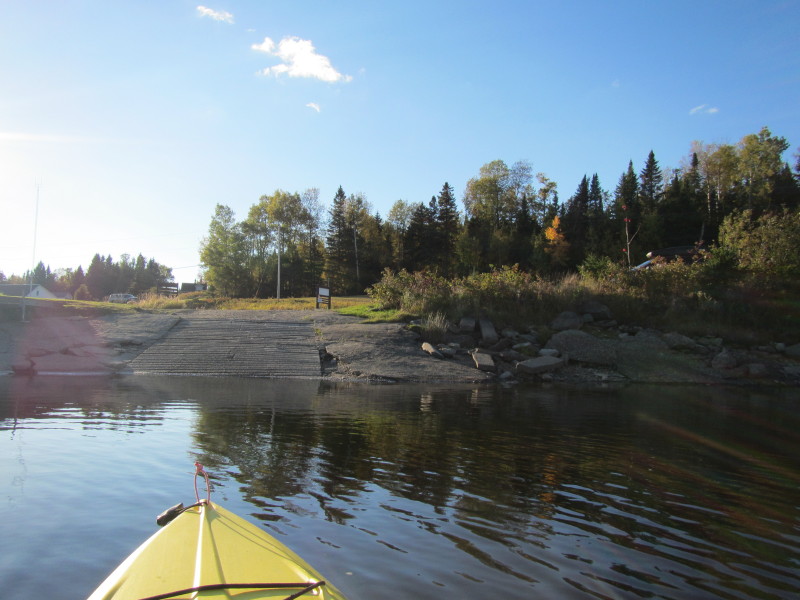
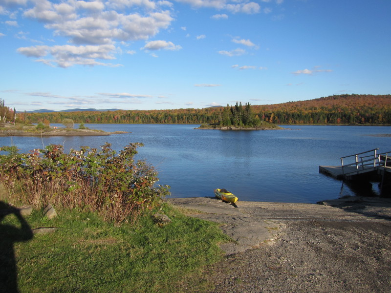
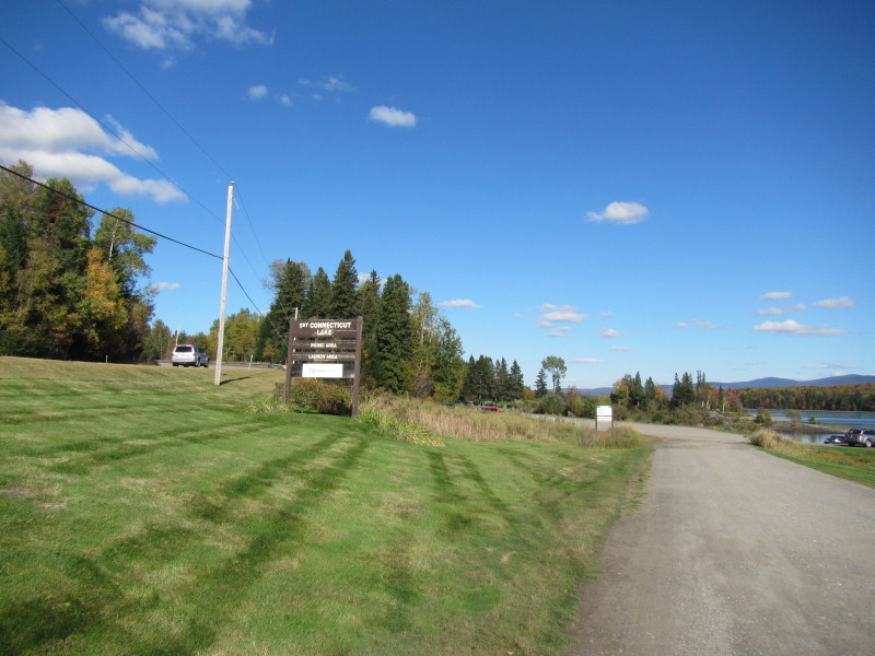 At the First Connecticut Lake launch on Route 3 in Pittsburg NH.
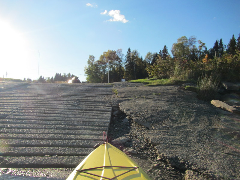
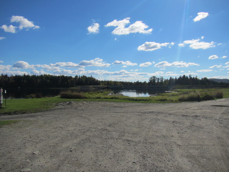 The First Connecticut Lake dam is on the right of the ramp.
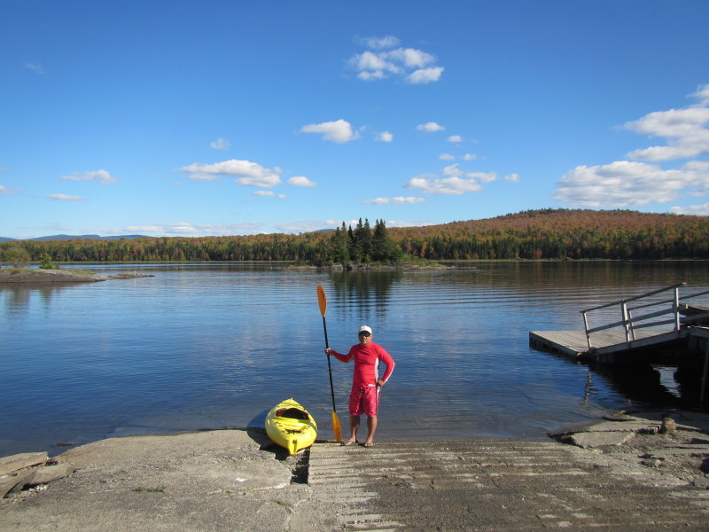 The Boston Kayaker ready to launch on the First Connecticut Lake in Pittsburg NH.
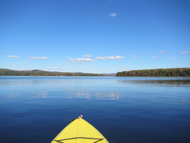
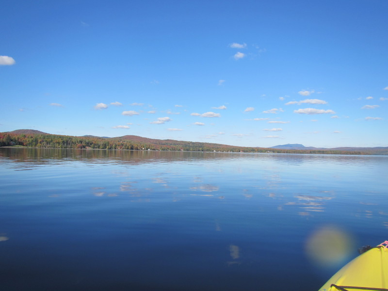
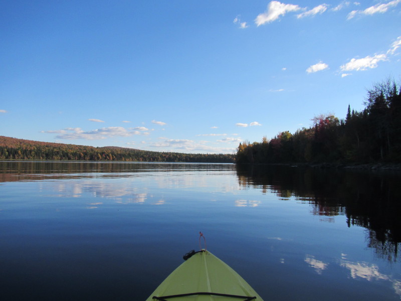
 Just launched on the First Connecticut Lake.
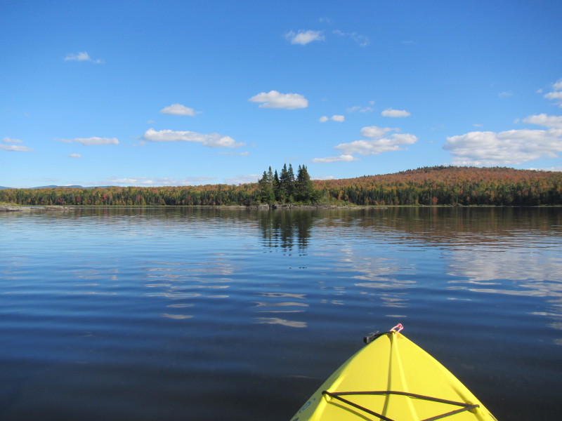
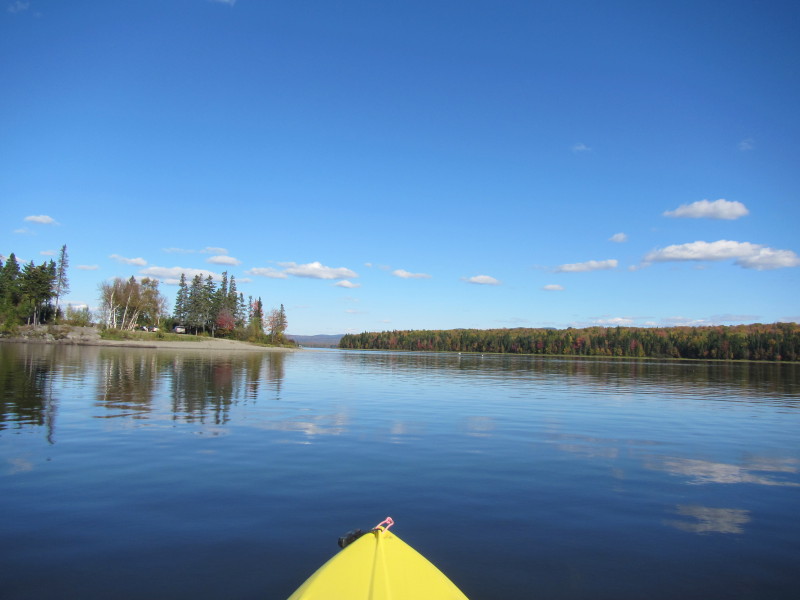
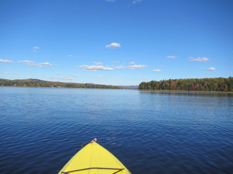
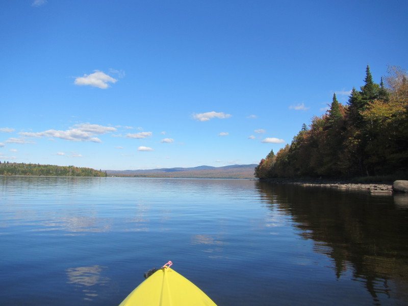
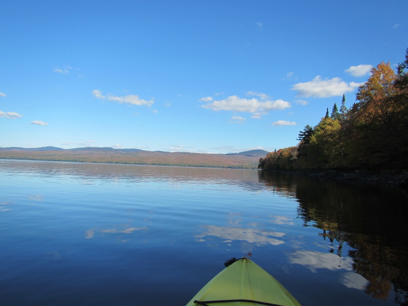
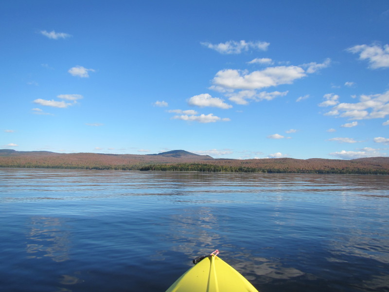
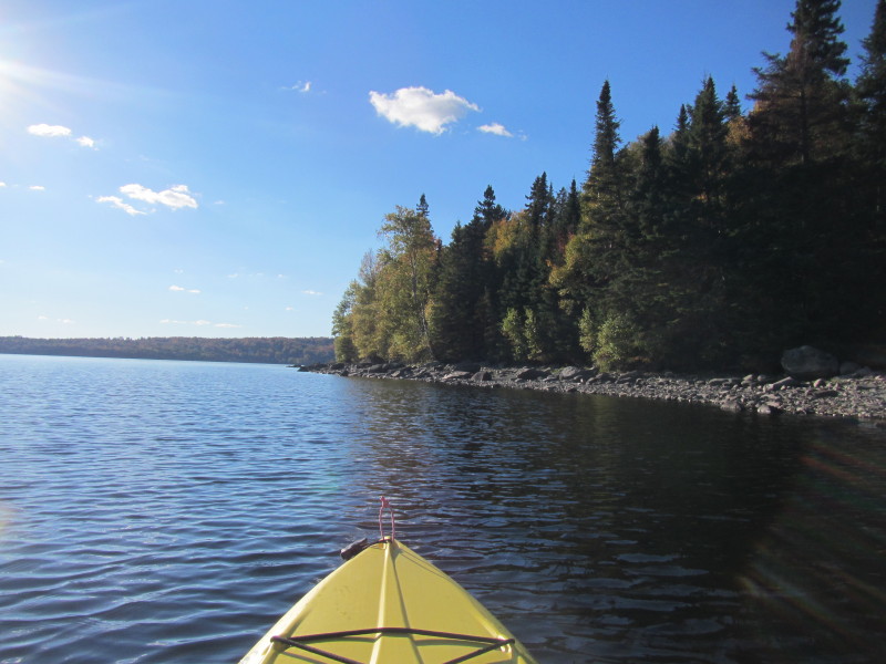
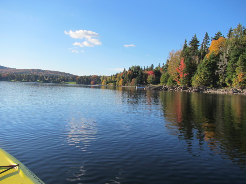
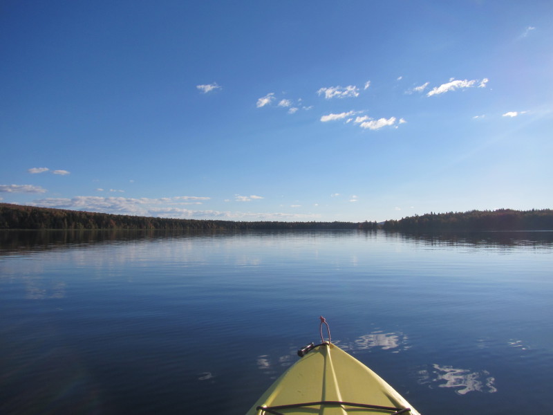
 Paddling westward out of this cove.
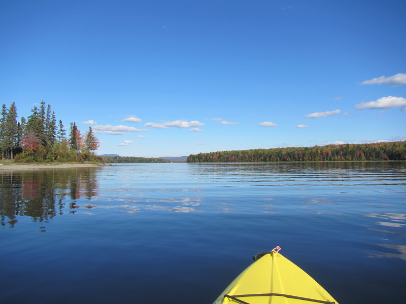
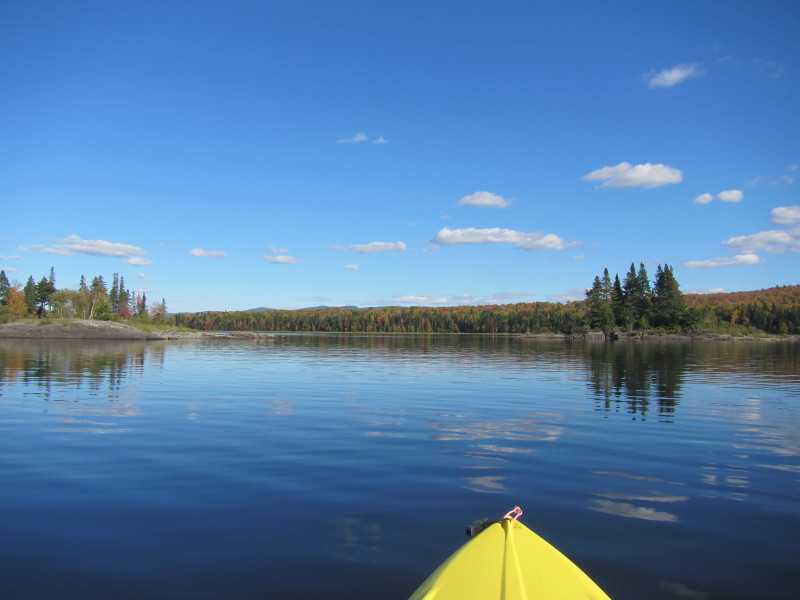
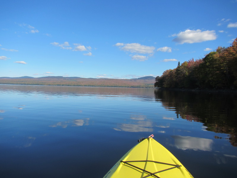
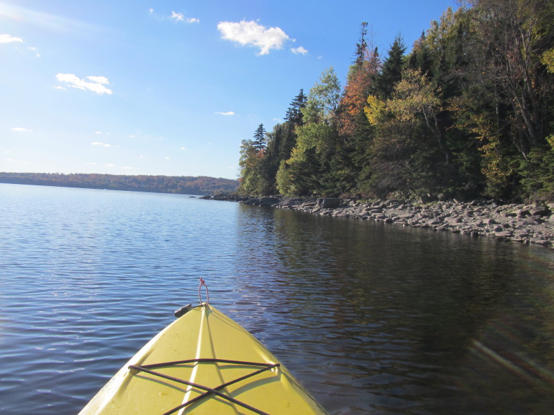
 I am paddling towards the other side of the cove so I can head south of the lake.
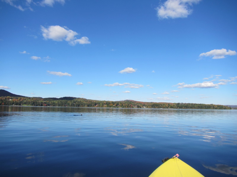 A beaver swimming and playing in front of me.
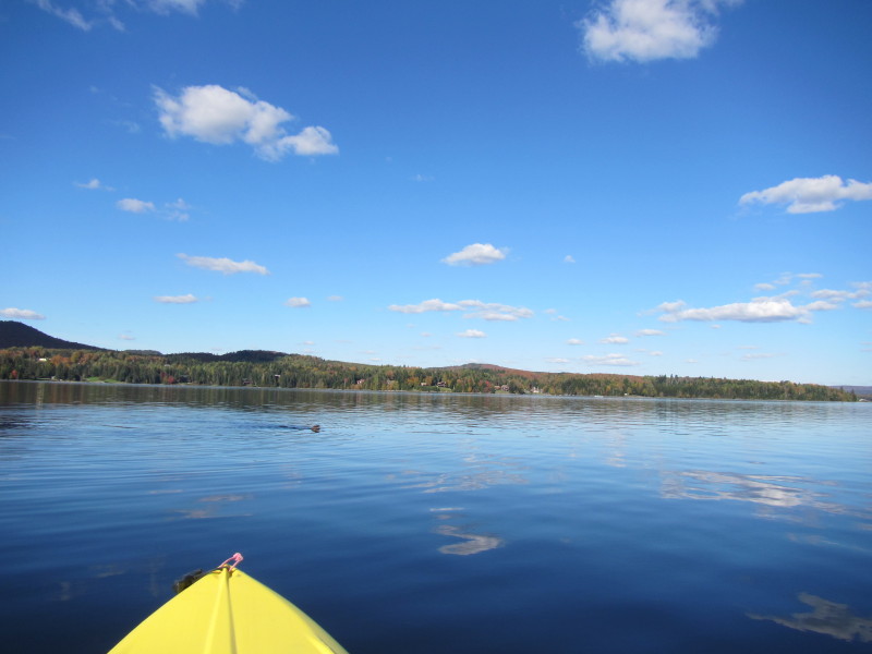
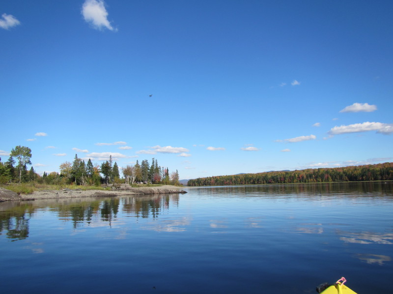
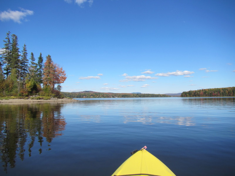
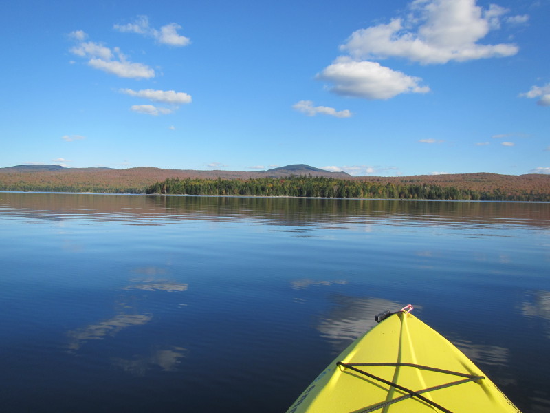
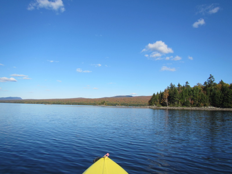
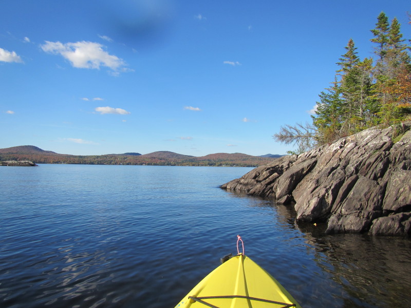
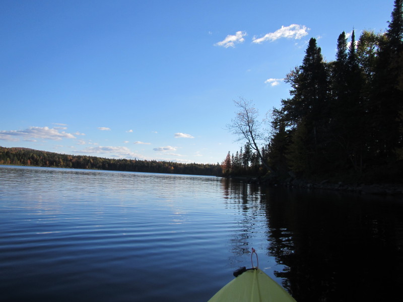
 Rounding this jutting land to get to the south of the lake.
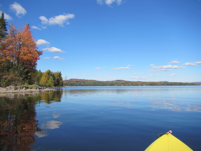
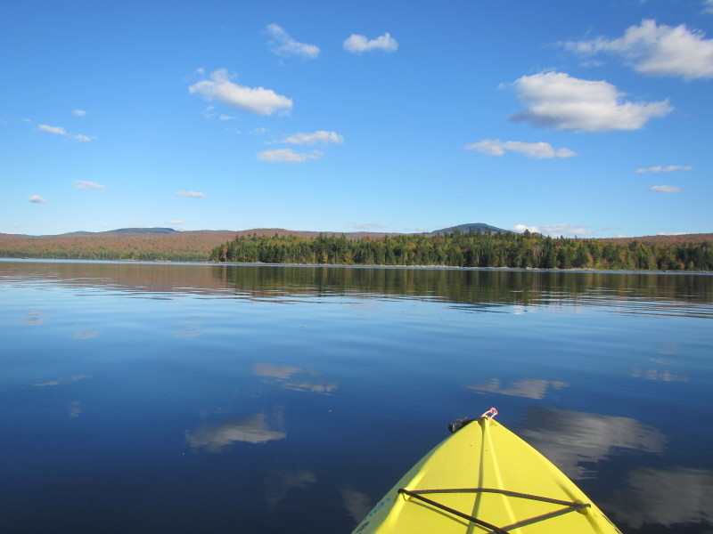
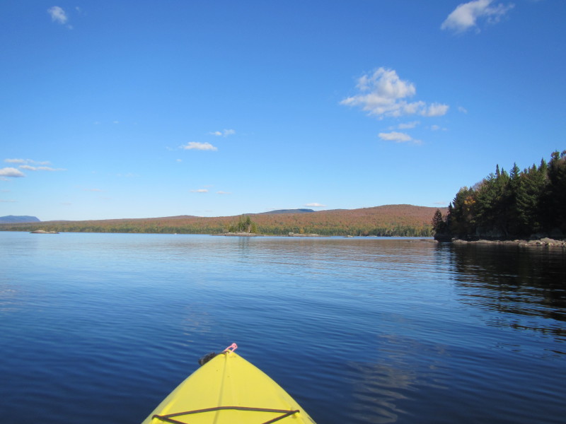
 Still rounding the corner to see the southern area.
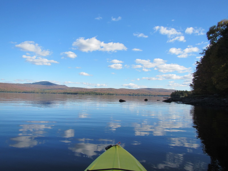
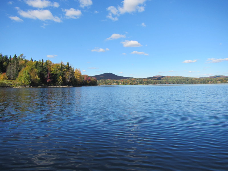
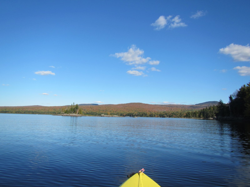
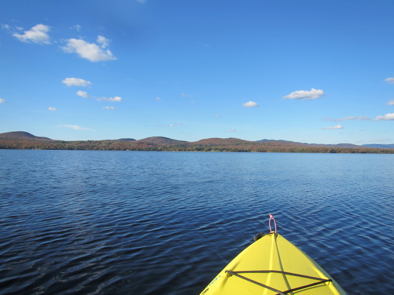
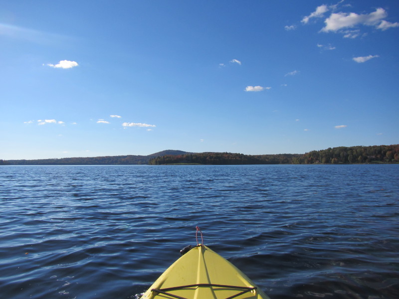
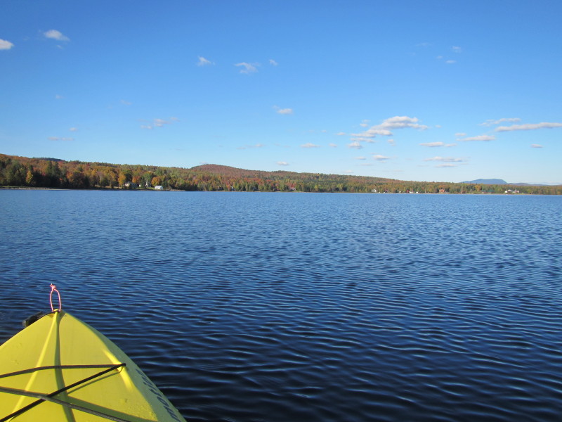
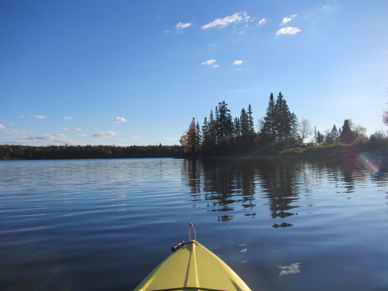
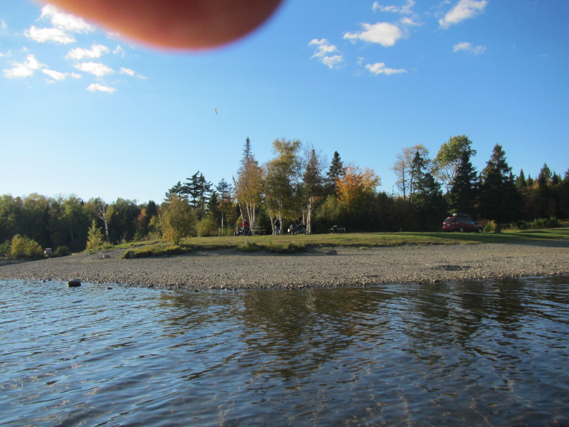
 Most of the southern area of the lake is now visible.
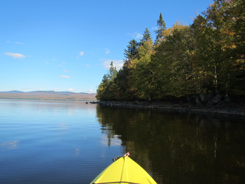
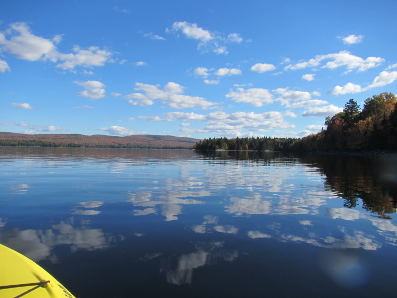
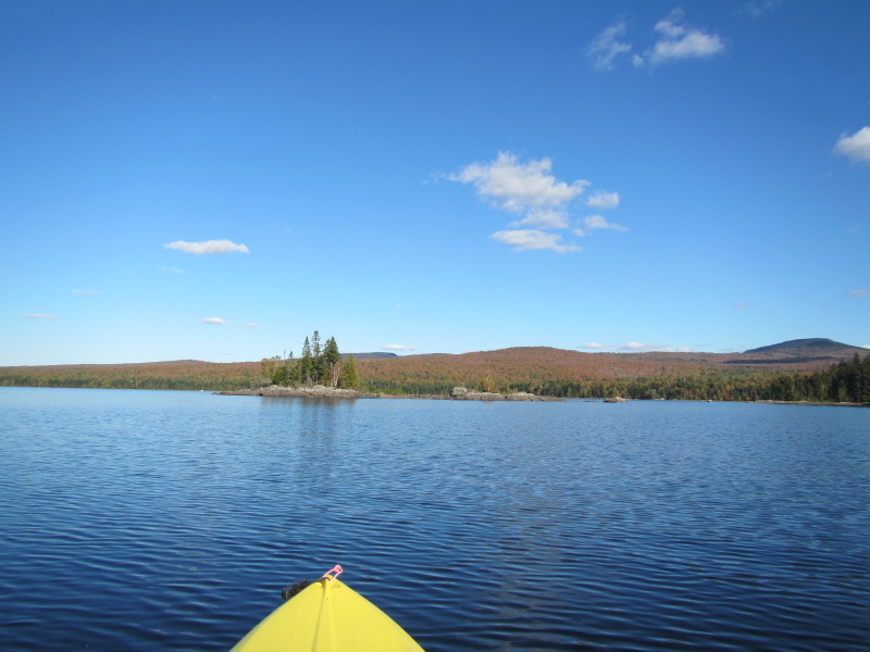
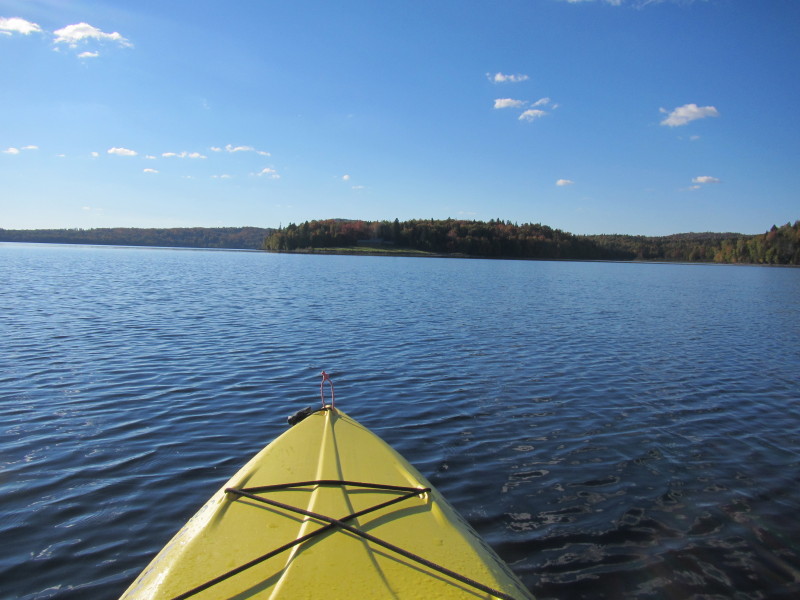
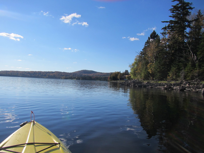
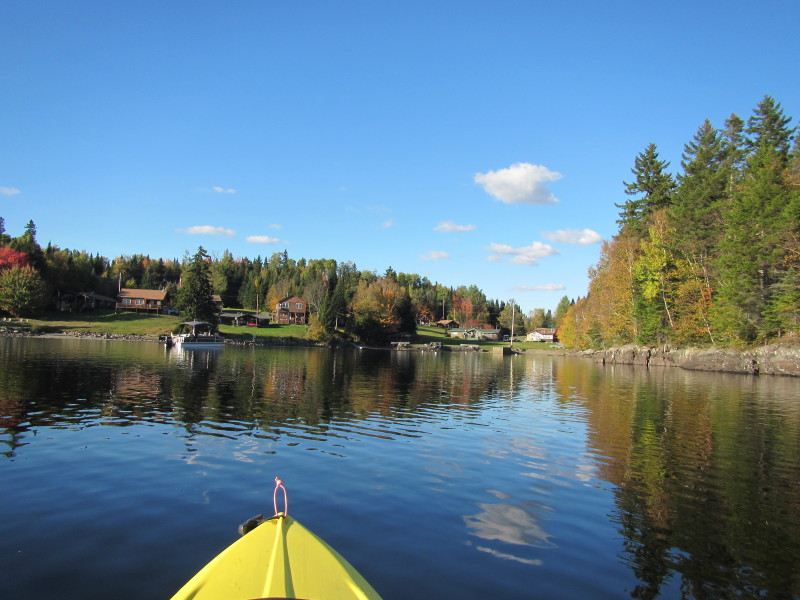
 Looking to my left is the eastern shore of the First Connecticut Lake.
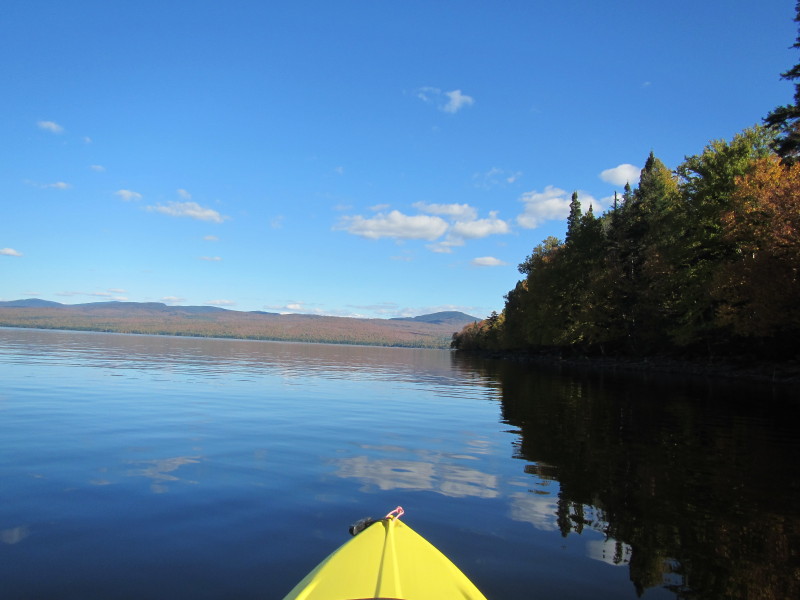
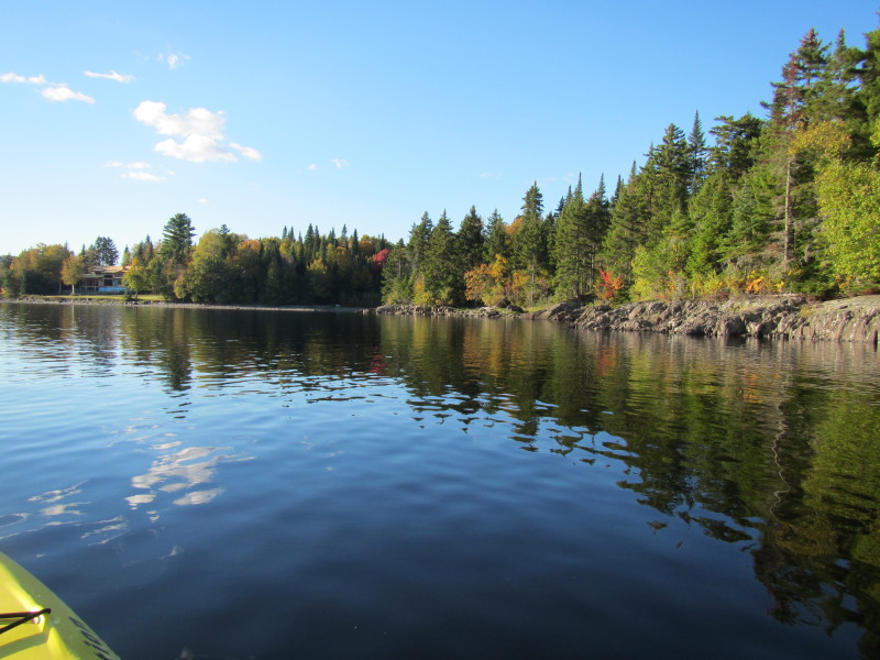
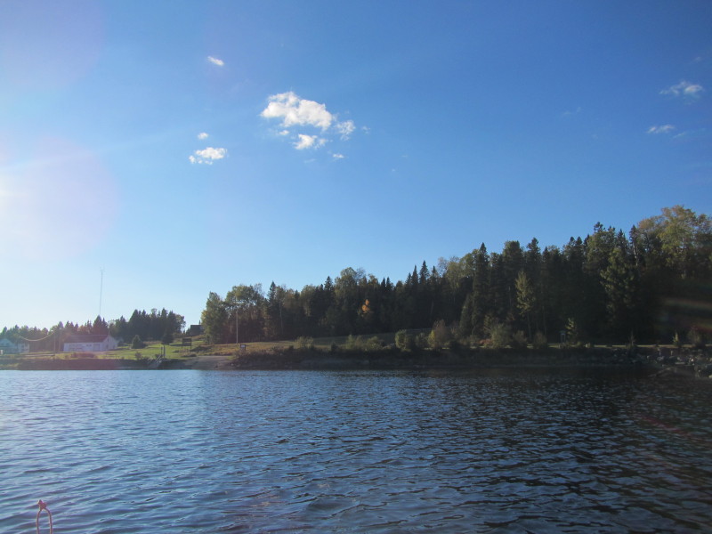
 Continuing my southerly paddle with the eastern coast on my right.
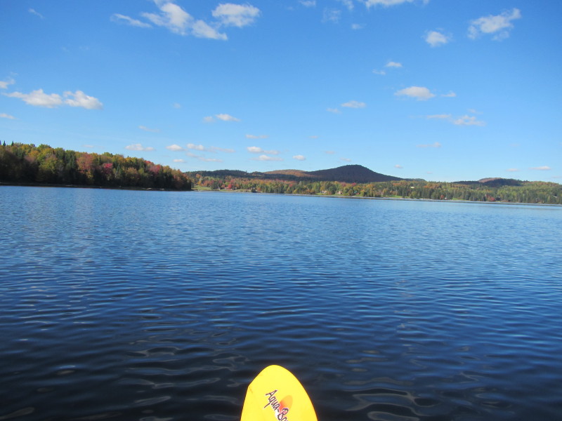
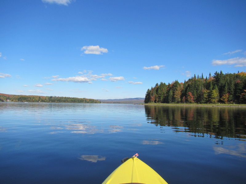
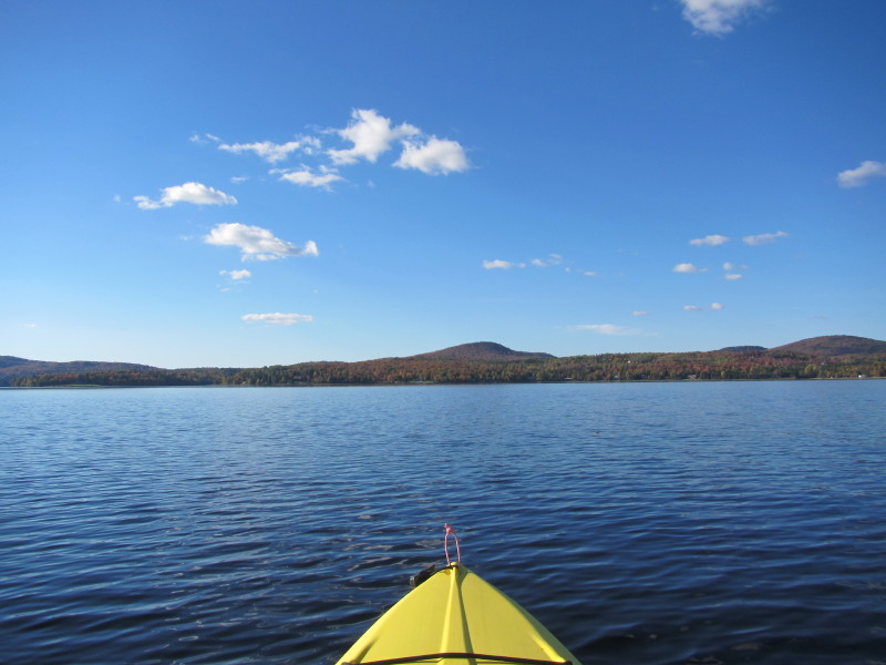
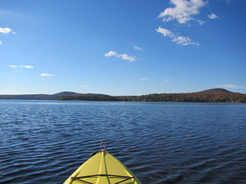
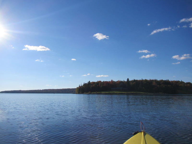
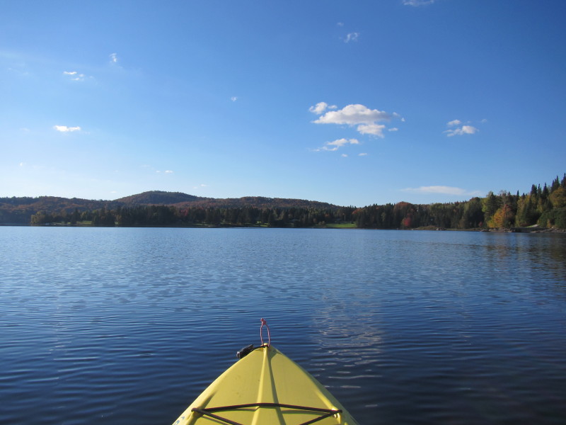
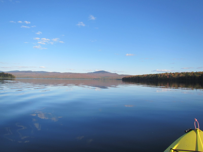
 I am now as far south as I want to be today.
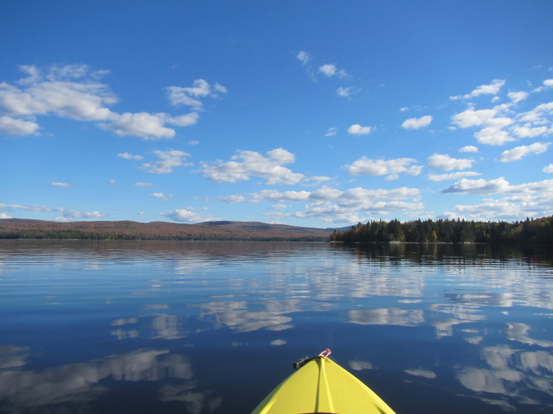
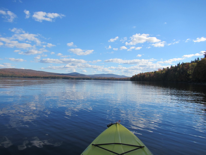
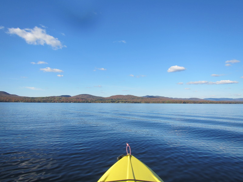
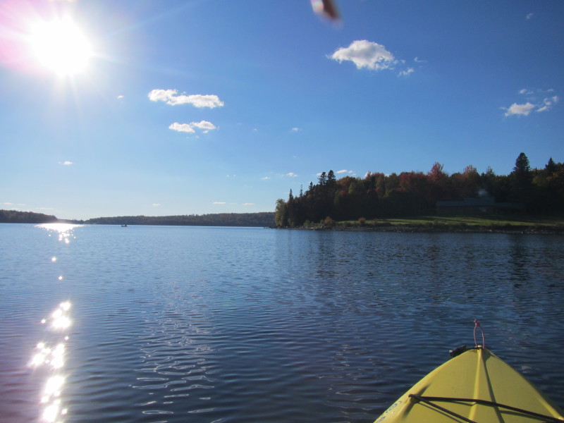
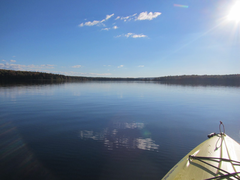
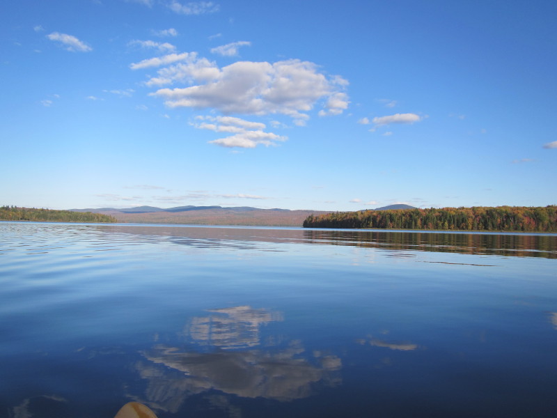
Facing west, I will cross the open waters of the First connecticut Lake and get to the western shore. 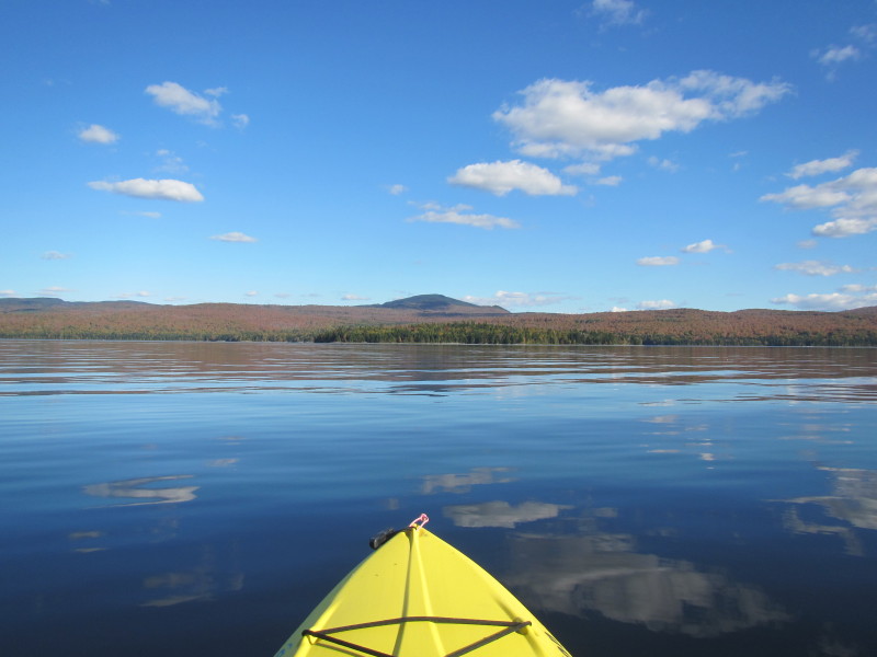
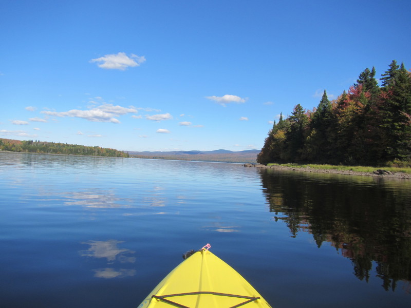
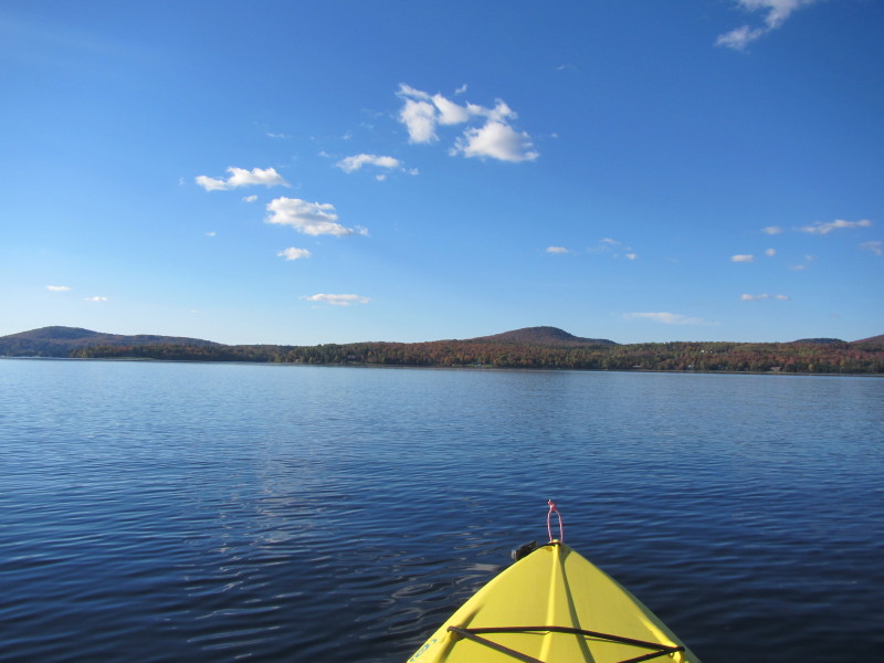
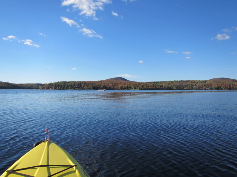
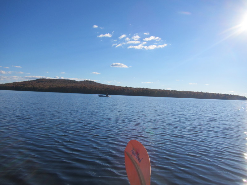
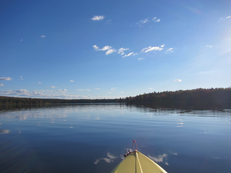
 In the middle of the lake still going for the western shore.
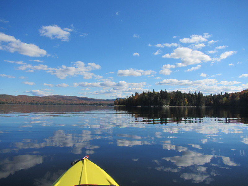
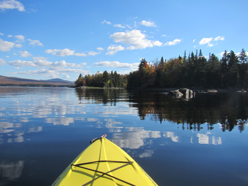
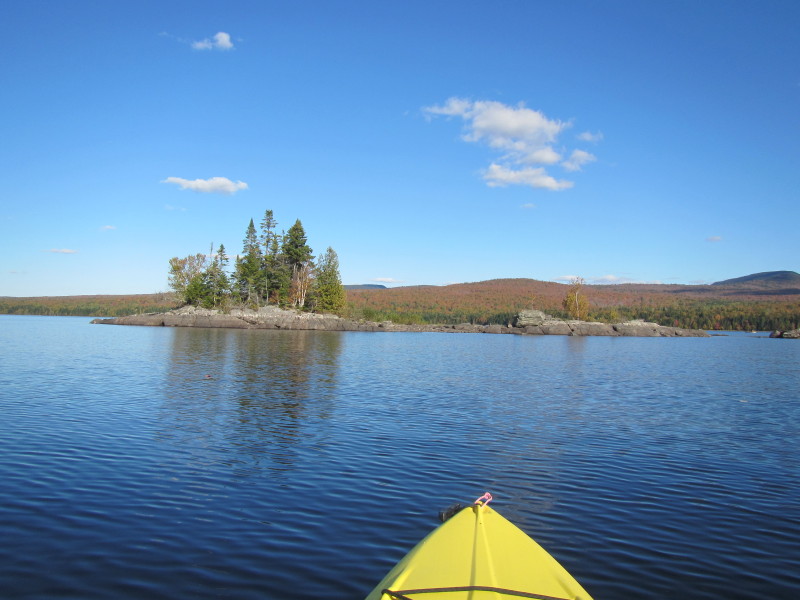
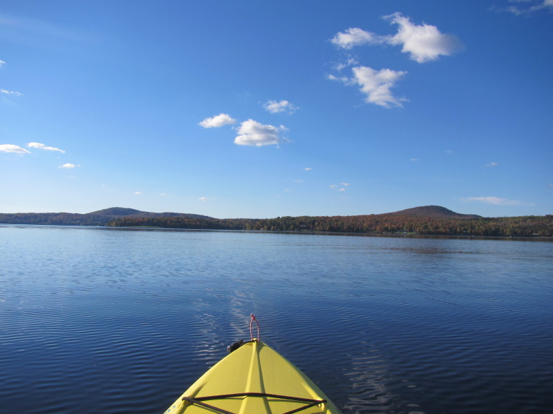
 What I thought was the western shore is instead an island in the middle
at the right of this picture.
What I thought was the western shore is instead an island in the middle
at the right of this picture.
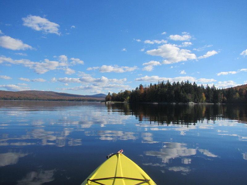
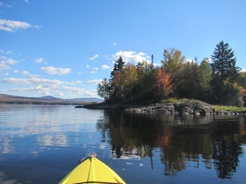
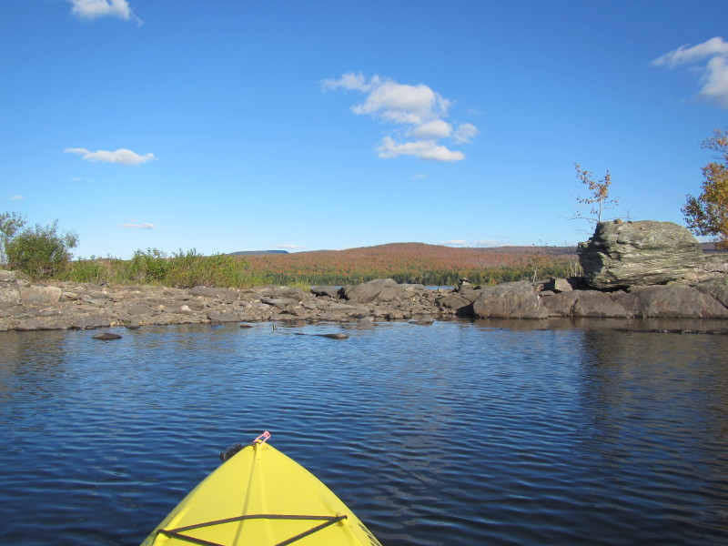
 This island has my name on it so I will beach and plant my flag.
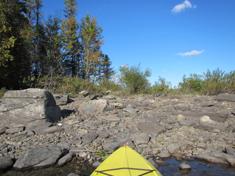
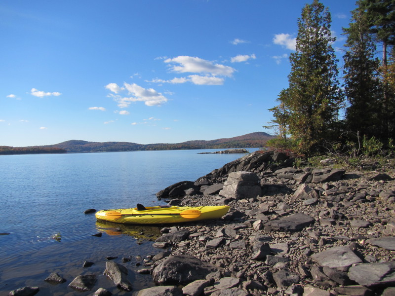 Taking a break out of my kayak on an island on First Connecticut Lake.
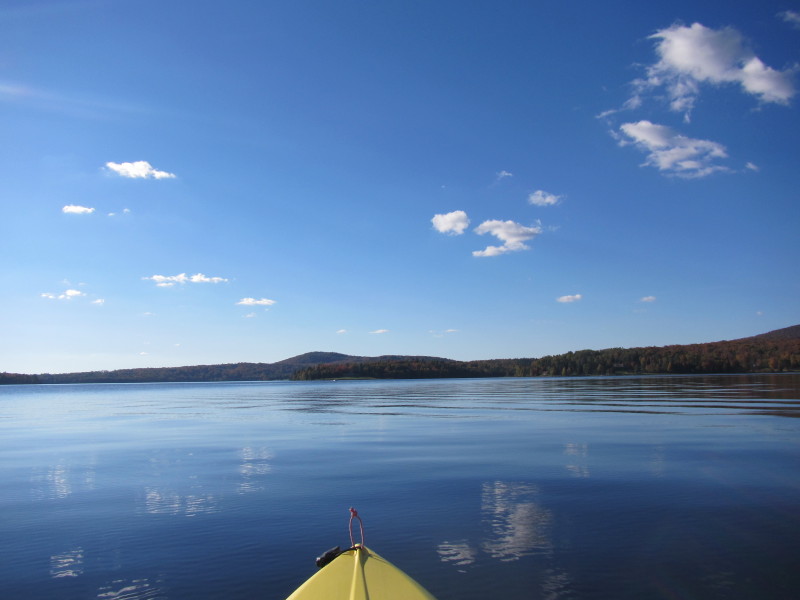
 Back on the water.
 I will now take a short cut and paddle again on the open waters on a
northwesterly direction back to where I started.
I will now take a short cut and paddle again on the open waters on a
northwesterly direction back to where I started.
 Getting closer to the northern shore.
 Looking to my right is the northeasterly corner of the First Connecticut Lake.
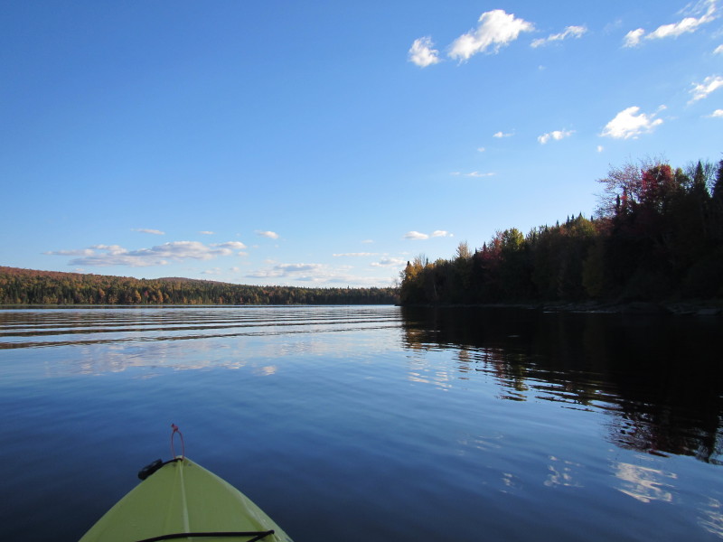
 Now hugging the north shore on my right.
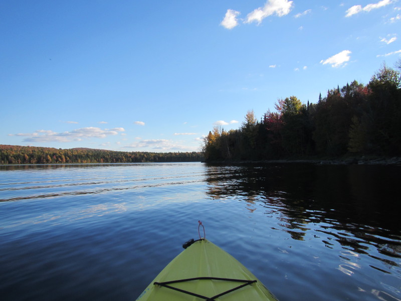
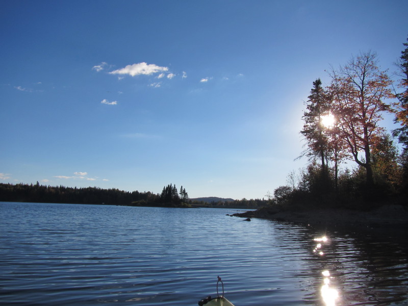
 With the sun directly on my face, hard to take photos . . .
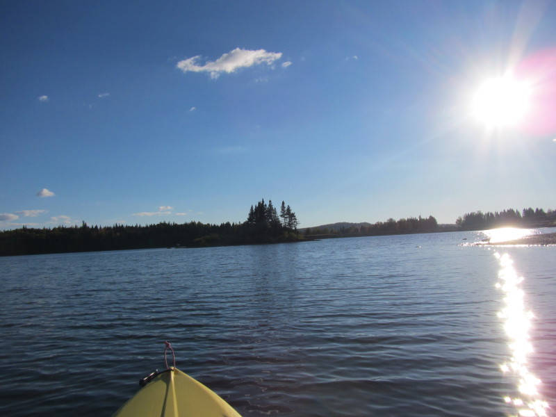
 Facing my camera a bit to the left to avoid facing the sun directly.
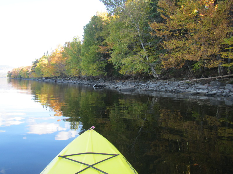
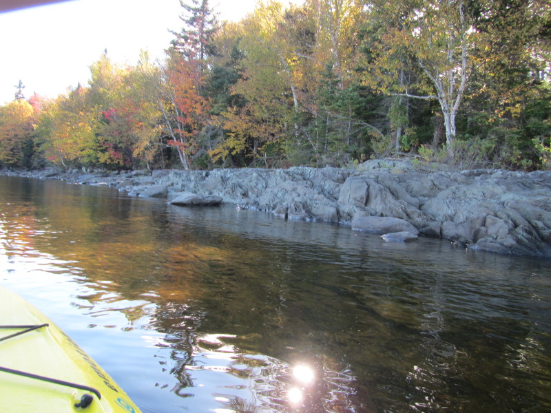
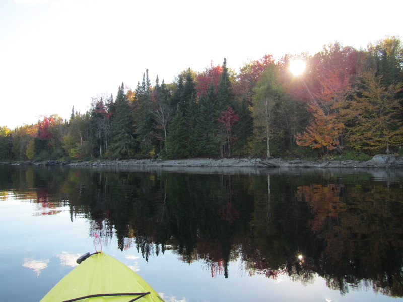 I got close enough to the shore to get into the shade.
|