 Kayaker

|


|
Download printer-friendly
PDF version that fits in one page: |

|
|
Other resources:
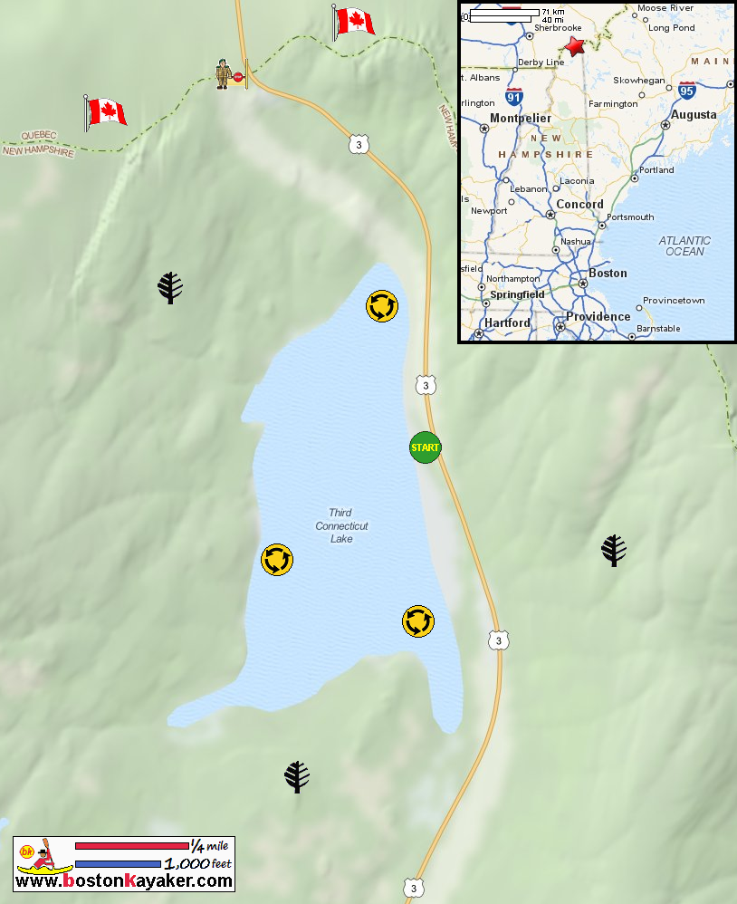
REI Guidepost: Third Connecticut Lake Connecticut River Joint Commissions: Map 1 Connecticut Lakes webpage Connecticut River Joint Commissions: Map 1 Connecticut Lakes map Connecticut River Joint Commissions: Map 1 Connecticut Lakes map (cached copy) Connecticut River Paddlers' Trail All photos in this website are original and copyrighted. 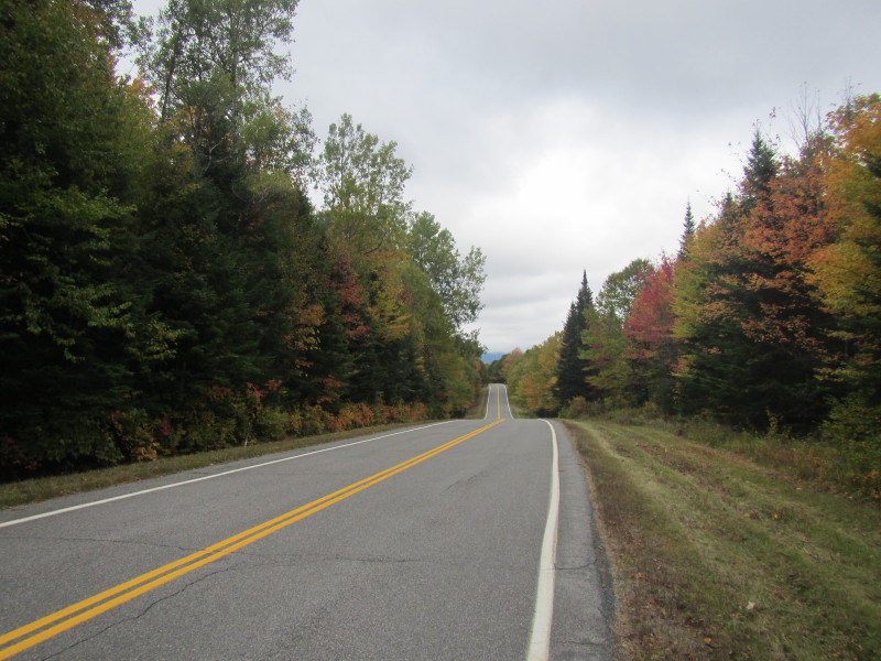 Going north on Route 3 in Pittsburg NH.
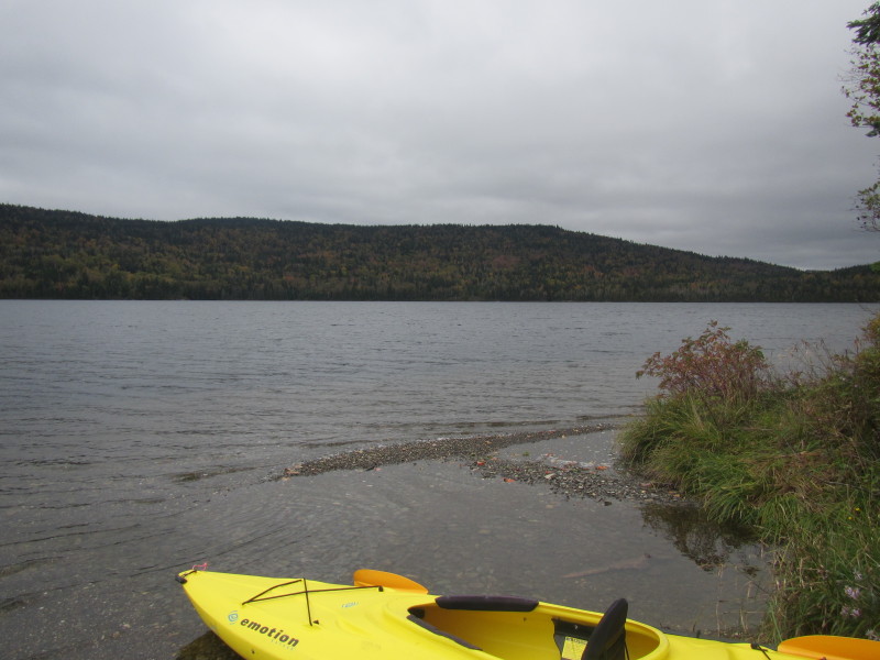
Trip date is September 2013. 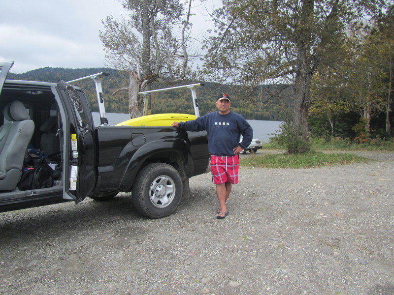 The Boston Kayaker at the launch to the Third Connecticut Lake in Pittsburg NH.
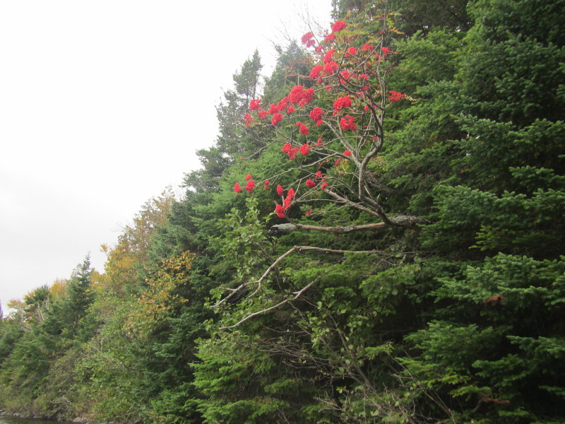
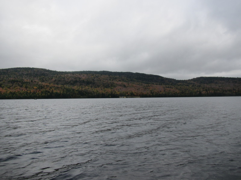
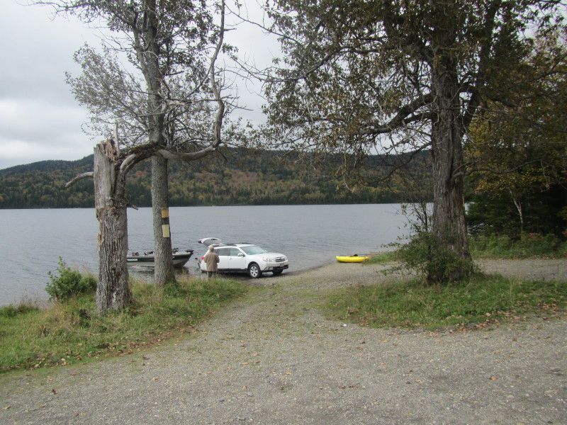 Skies are cloudy dark.
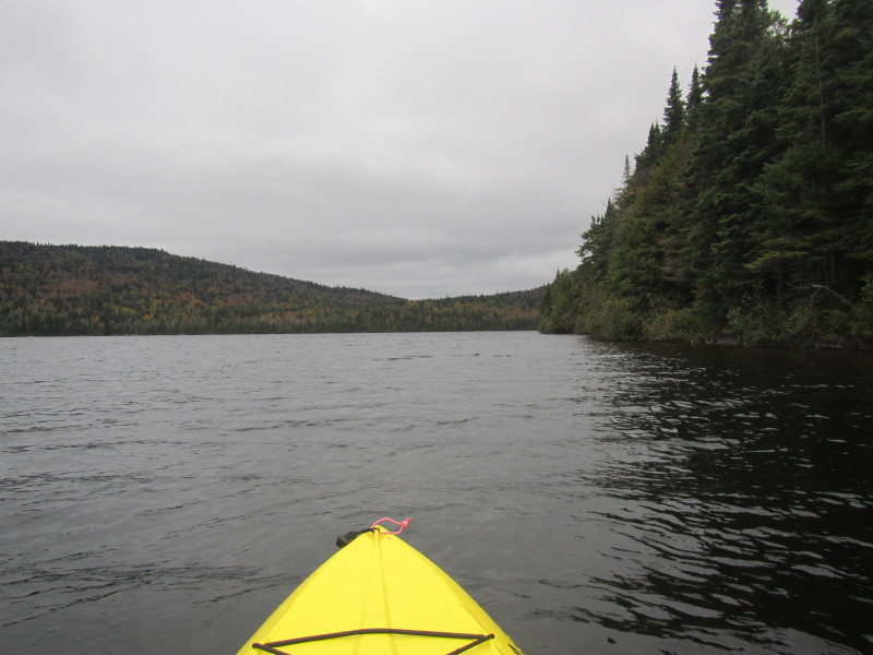
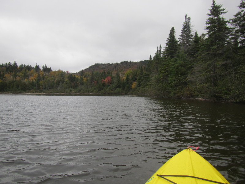
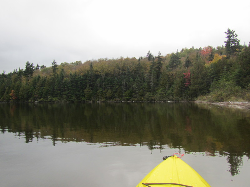
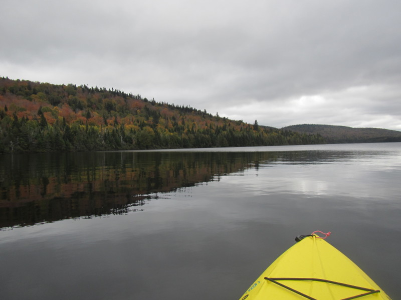
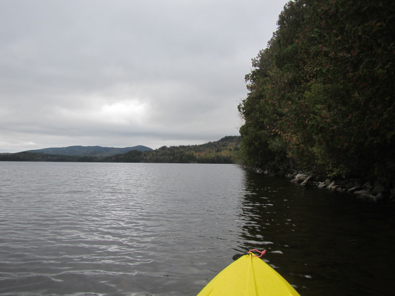
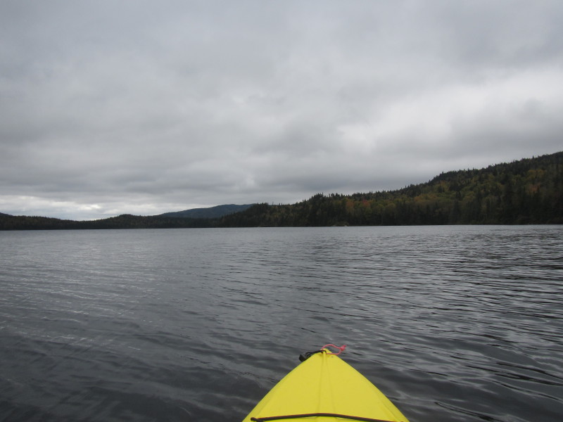
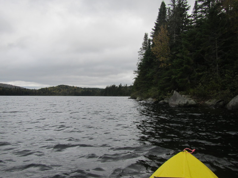
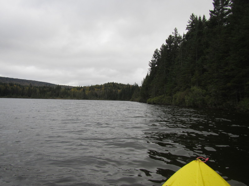
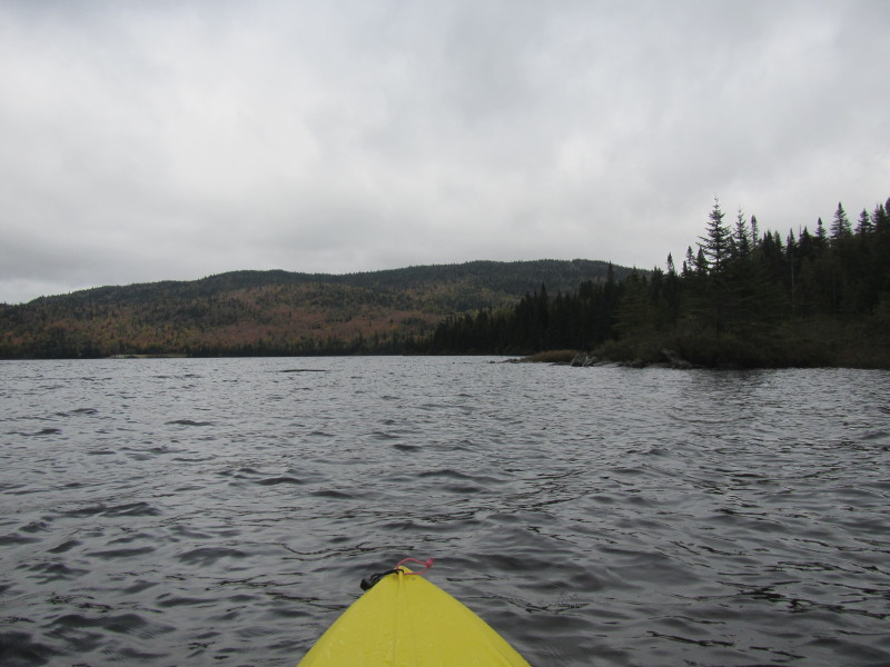
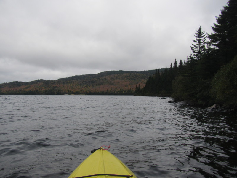
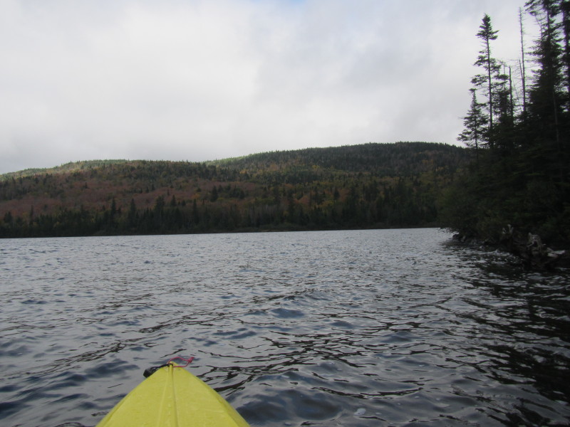
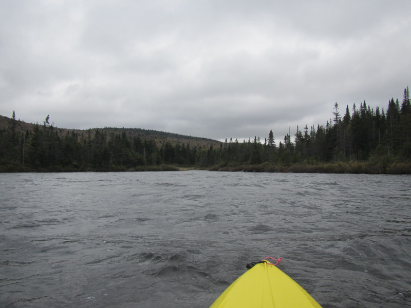
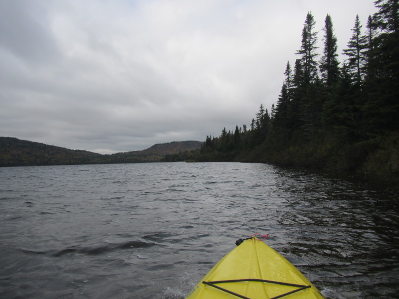
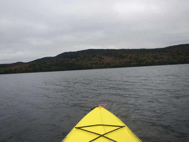 Just launched on the Third Connecticut Lake.
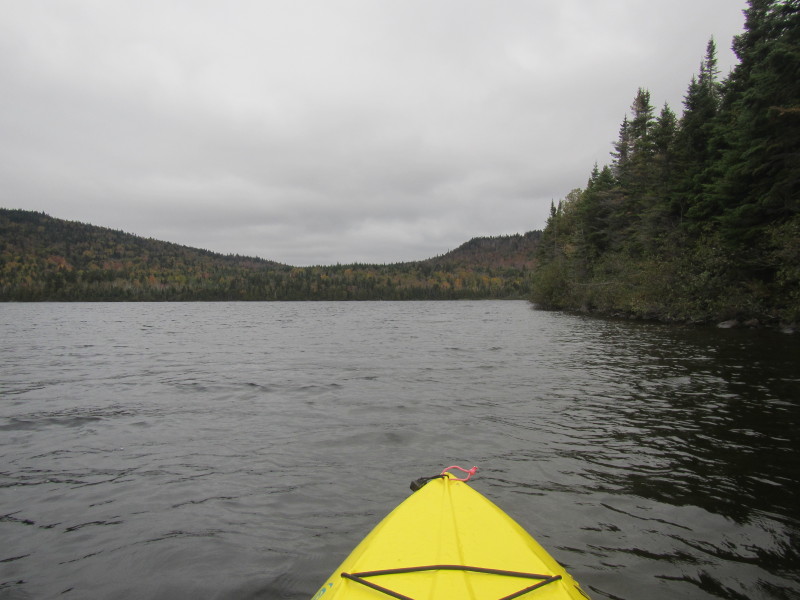
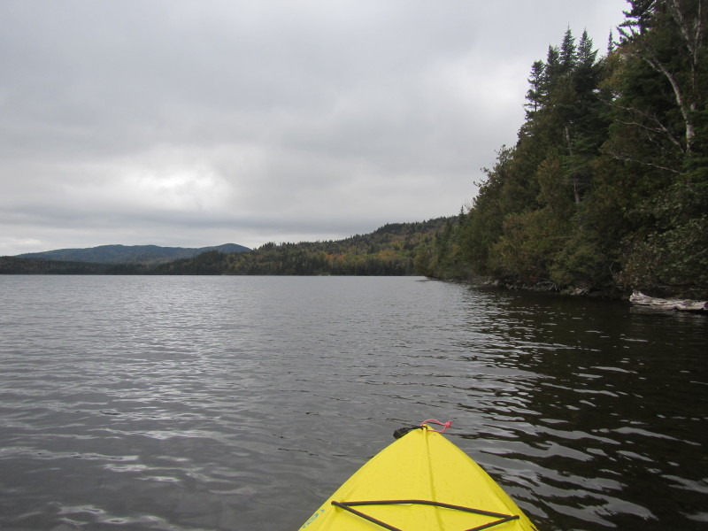
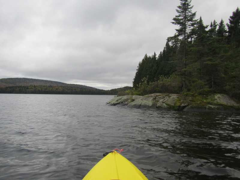
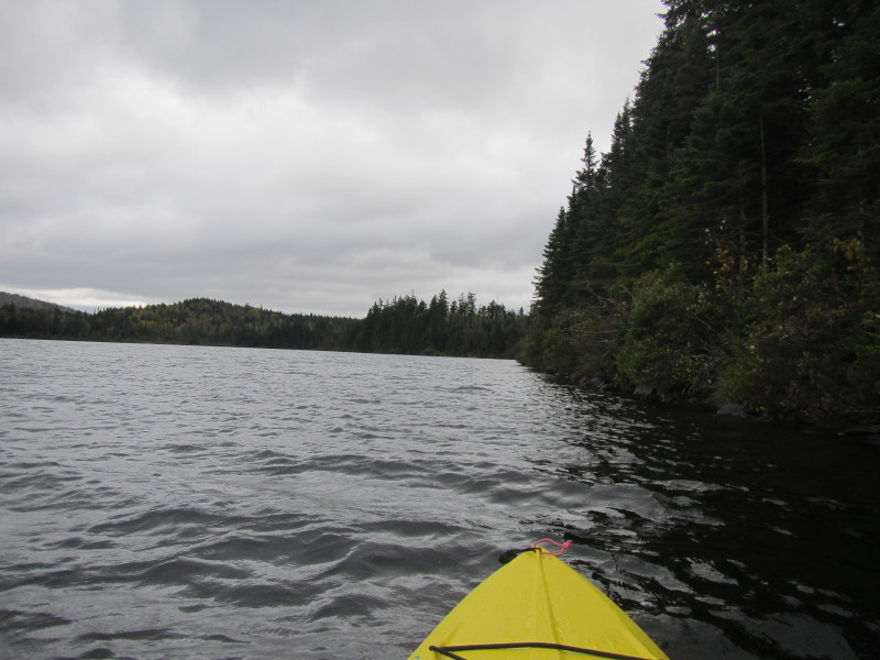
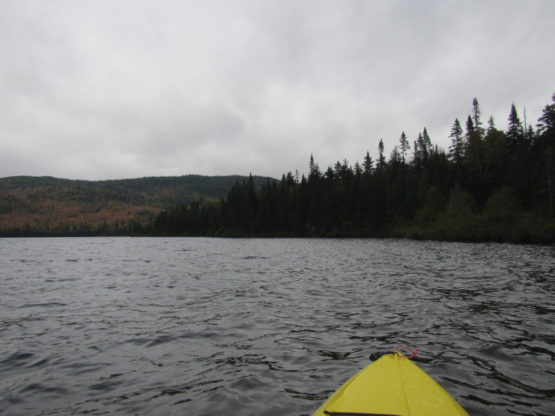
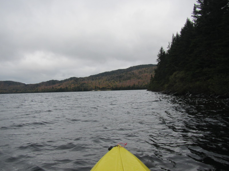
 Decided to turn to my right and paddle northwards.
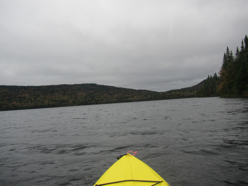
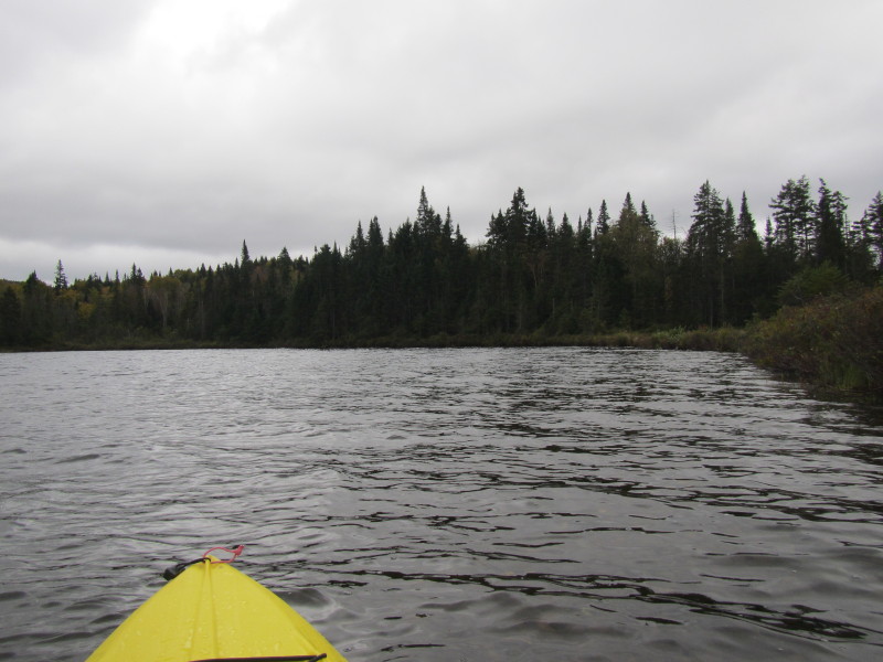
 Will circle the Third Connecticut Lake counter-clockwise.
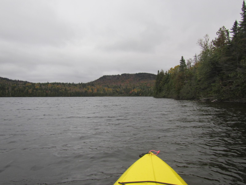
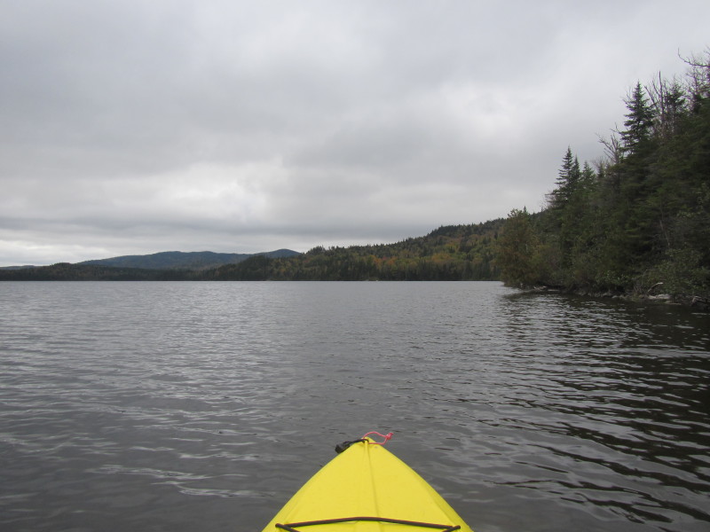
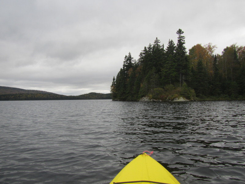
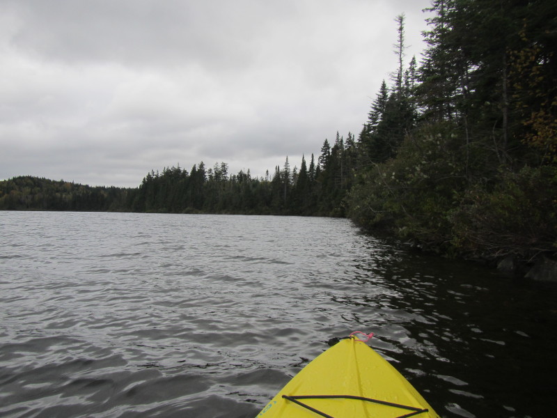
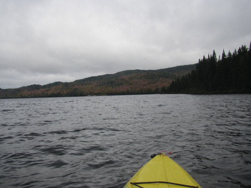
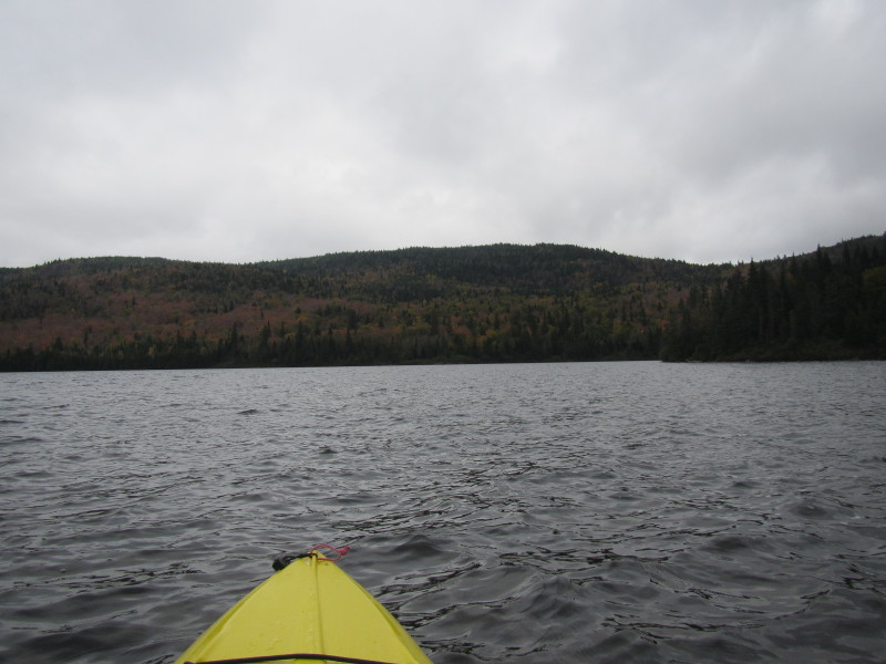
 I have now reached the northeastern corner of the Third Connecticut Lake.
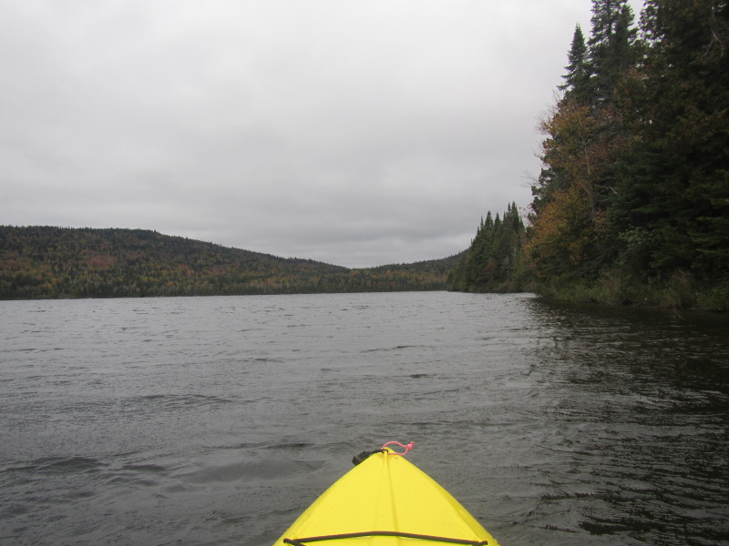
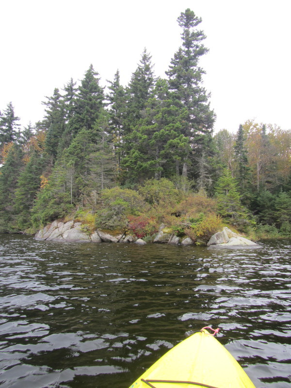
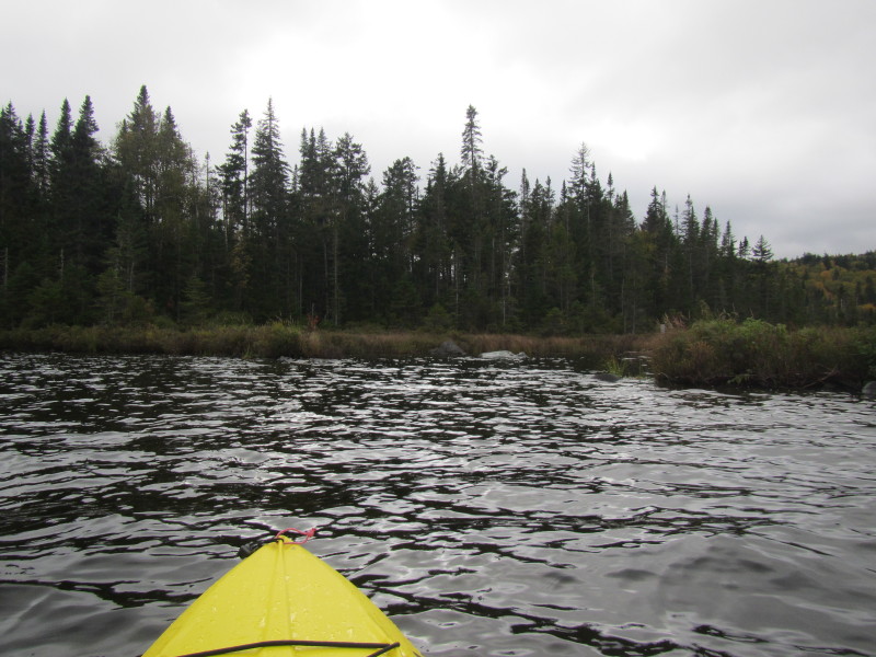
 Veering to my left.
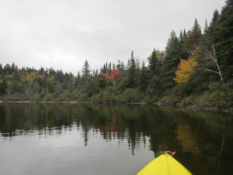
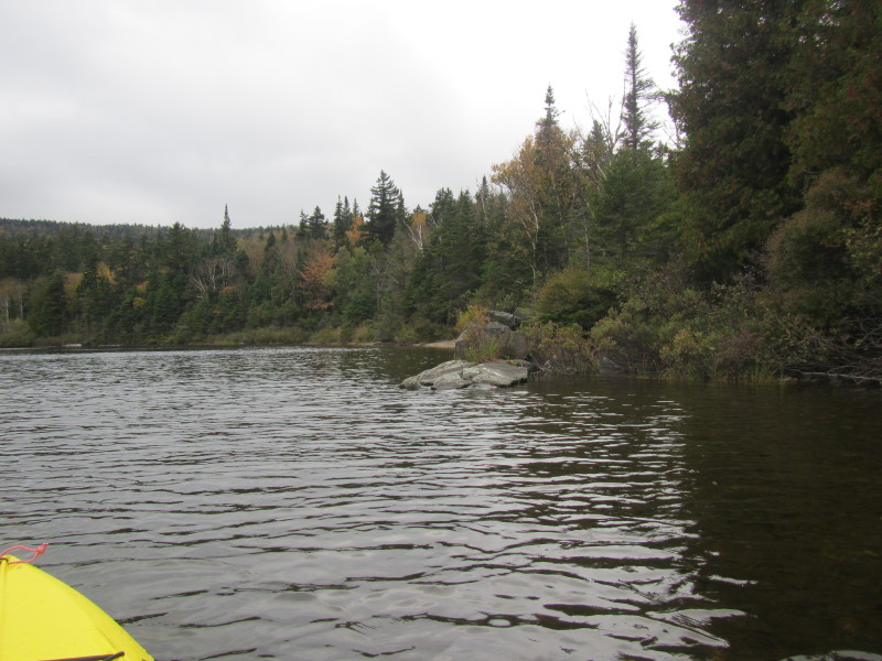
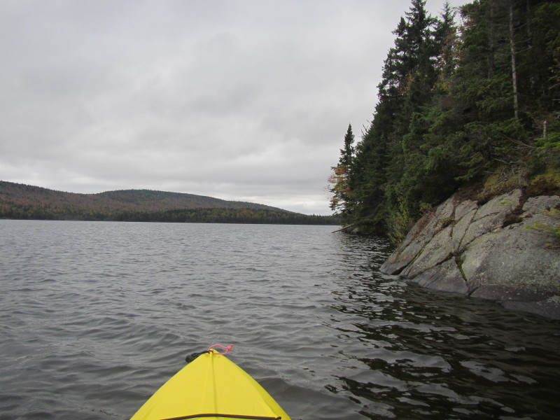
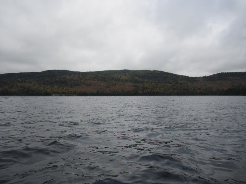
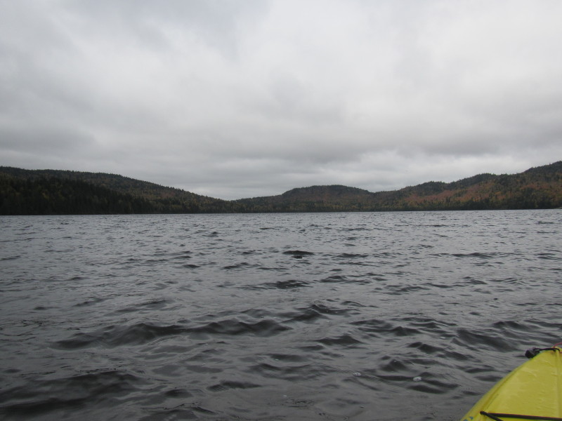
 Now paddling westerly towards the western bank.
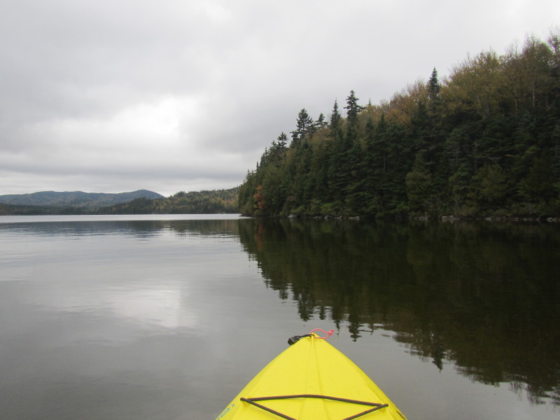
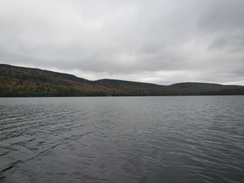
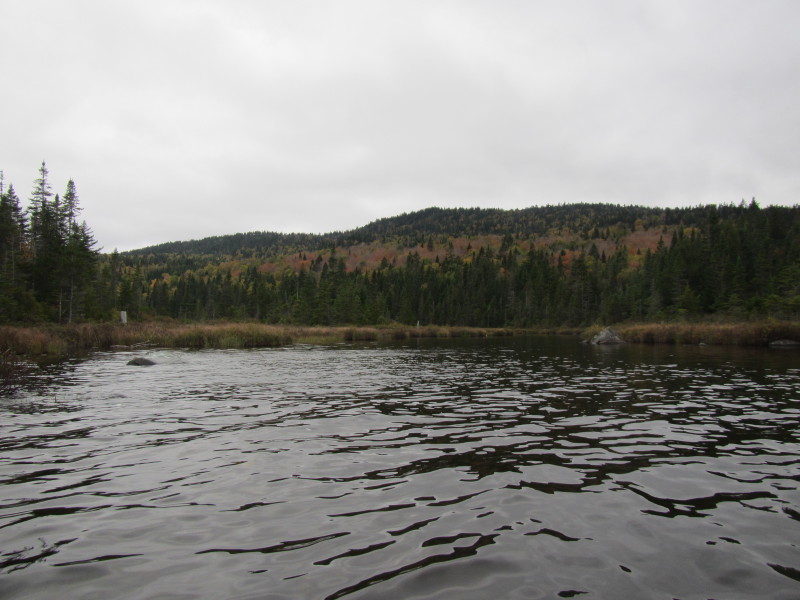
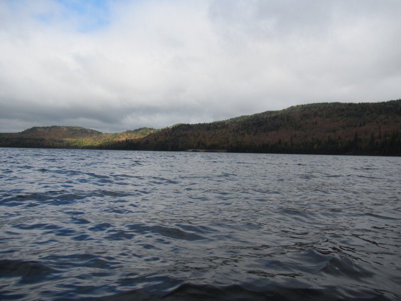
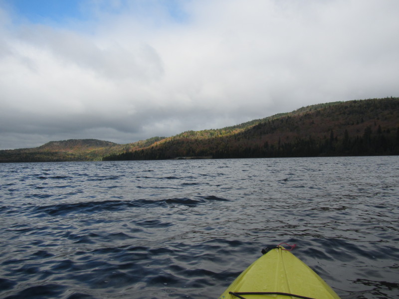
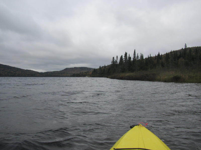
 Looking south on the Third Connecticut Lake from the north end.
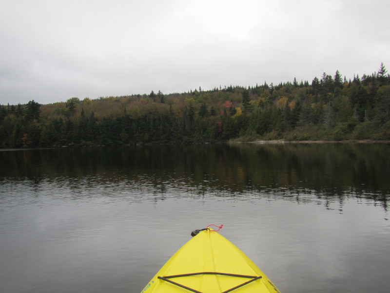
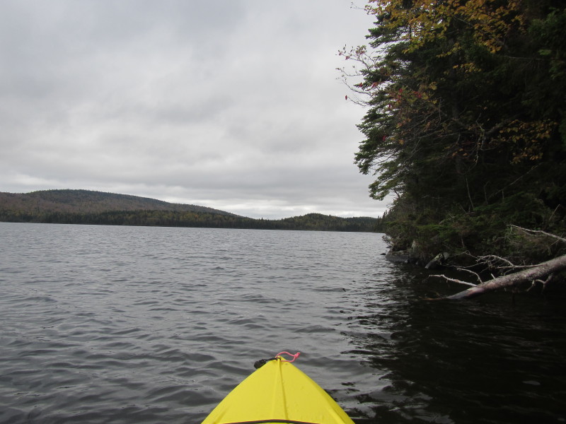
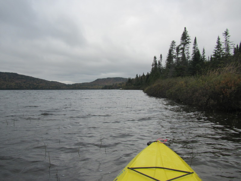
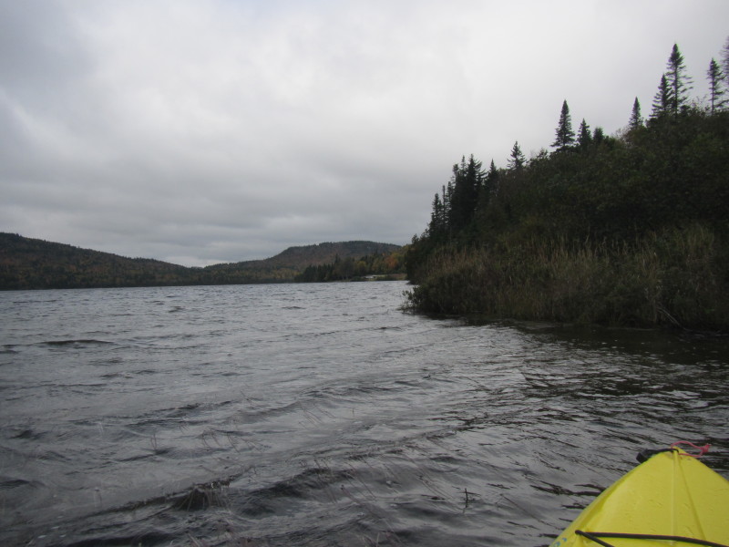
Still cloudy. 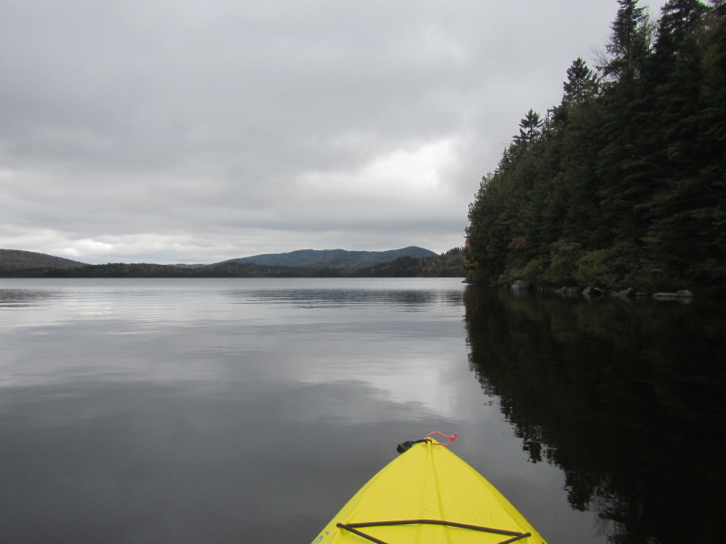 Now paddling southwards along the western shore on my right.
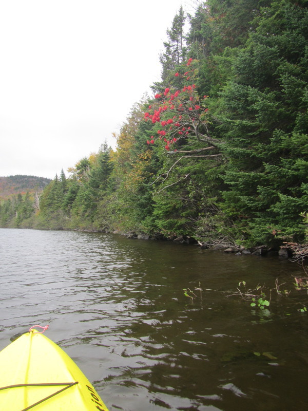
 Looking to my left, the fall colors of Third Connecticut Lake eastern shore.
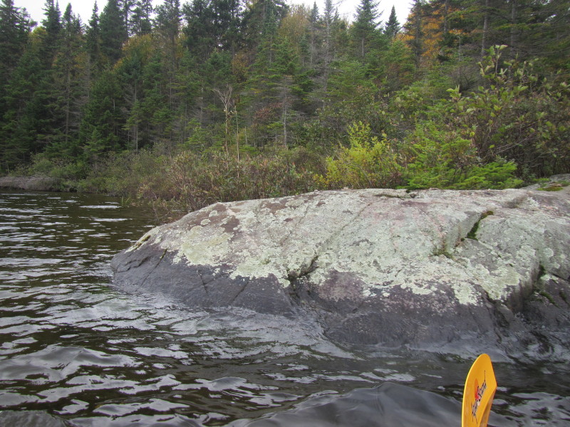
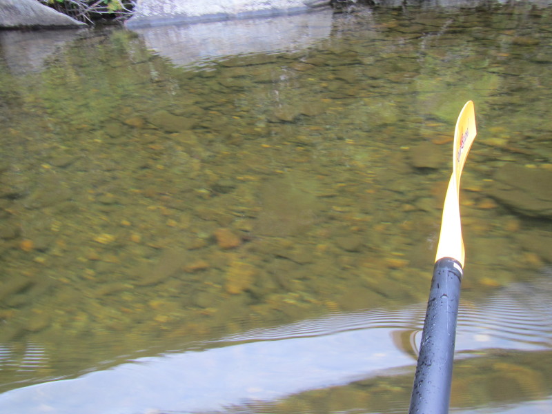 By the way, very clear waters.

 Briefly looking to my left, the eastern side.
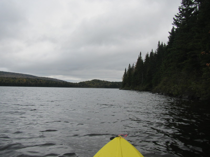
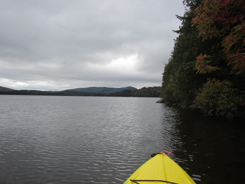
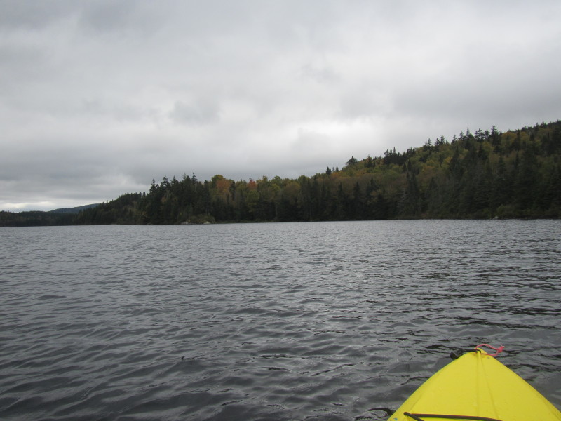
 Continuing my southerly paddle with the western shore on my right.
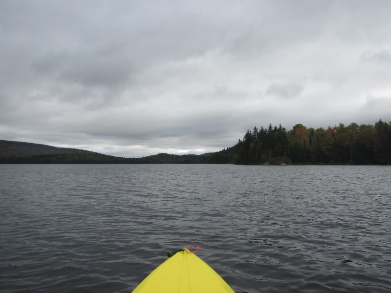
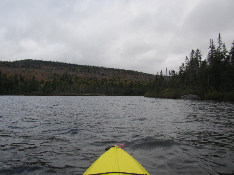
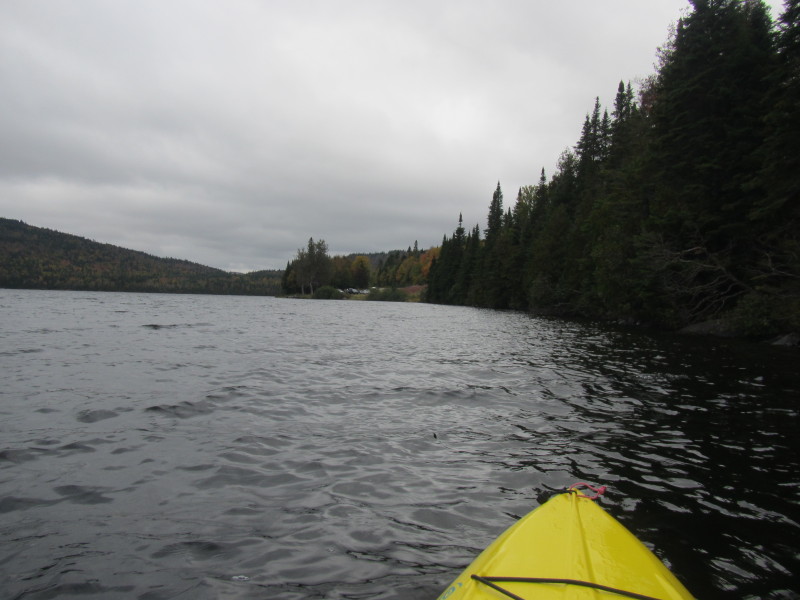
 I am now in the southwesterly corner of the Third Connecticut Lake.
 On my right is the southwesterly corner outlet.
 It is tempting to paddle into this outlet. I was just worried I have
to paddle back against the flow and I am not sure what is in this stream really.
It is tempting to paddle into this outlet. I was just worried I have
to paddle back against the flow and I am not sure what is in this stream really.
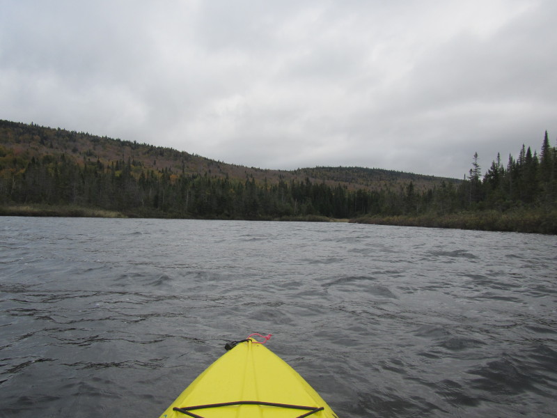
 Continuing my circumnavigation, now paddling easterly on the along the south shore.
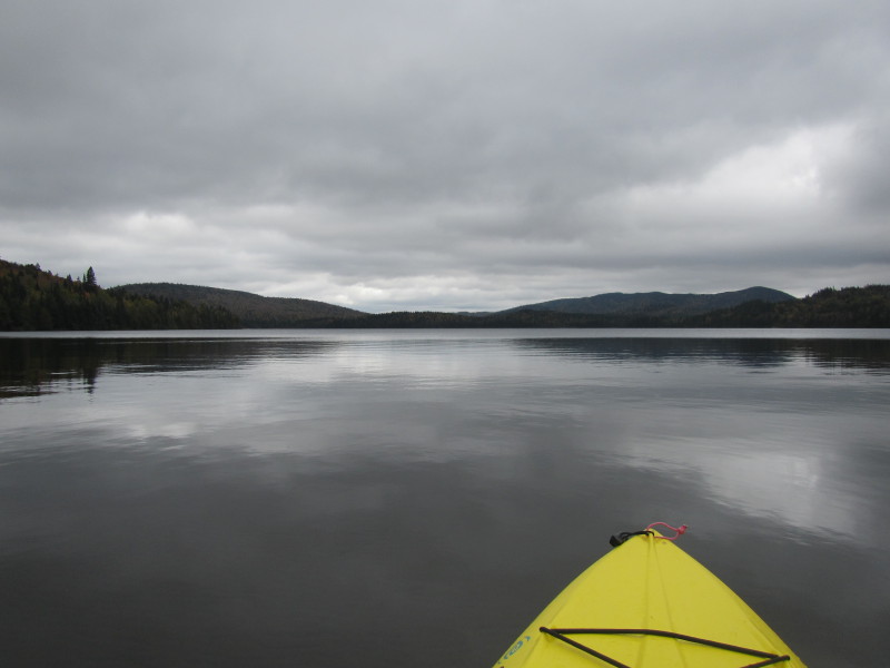
 Looking to my left, the Third Connecticut Lake viewed from the south end.
 Clouds opening up a little bit allowing some sun.
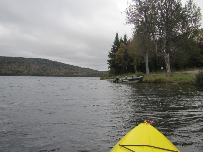
 I can see the Connecticut River outlet coming out of this southeasterly corner.
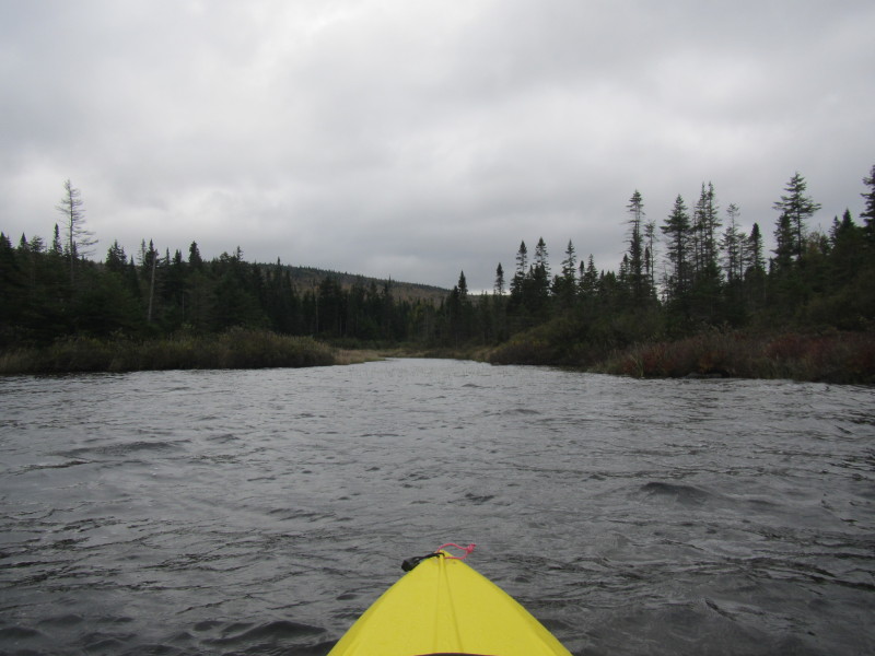 The Connecticut River outlet from the Third Connecticut Lake in front of me.
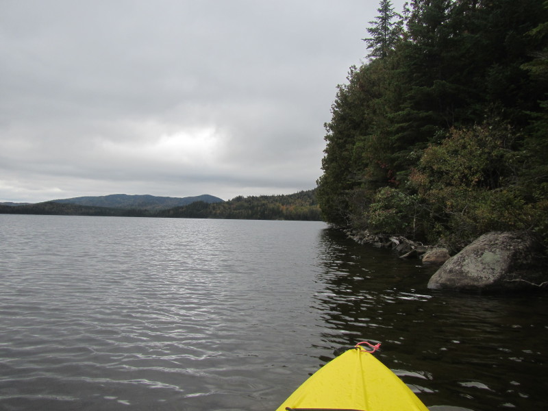
 Continuing my paddle now northwards along the westerly shore on my right.
 I can see the launch area, my end destination.
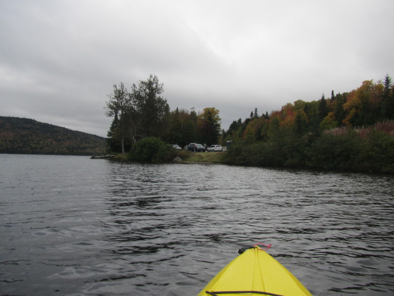
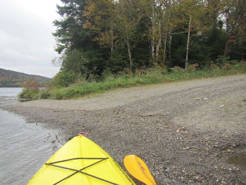 Landed. I circled the Third Connecticut Lake in 58 minutes.
|