 Kayaker

|


|
Download printer-friendly
PDF version that fits in one page: |

|
|
Other resources:
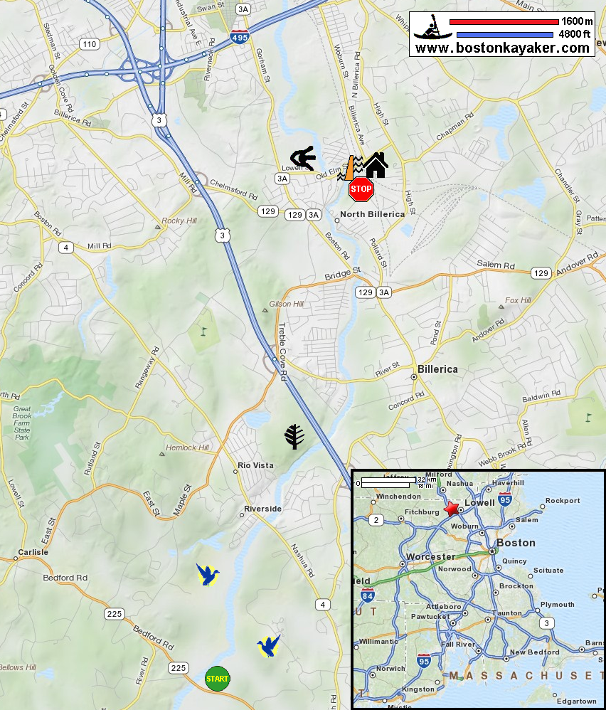
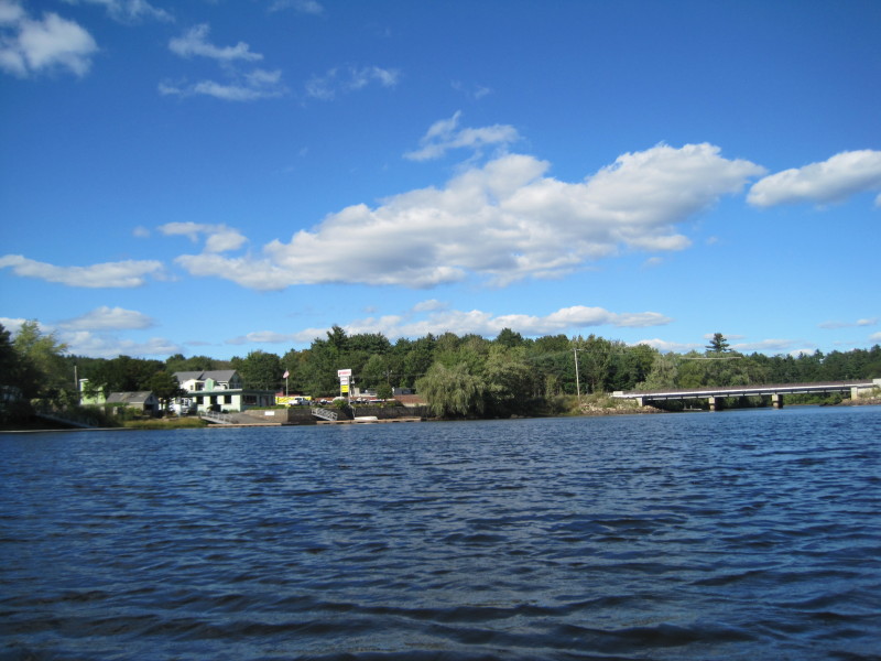
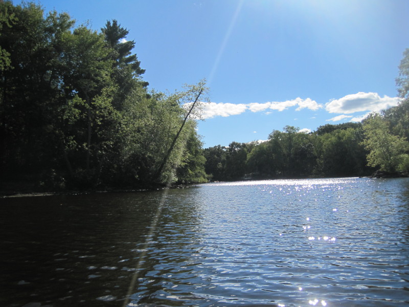
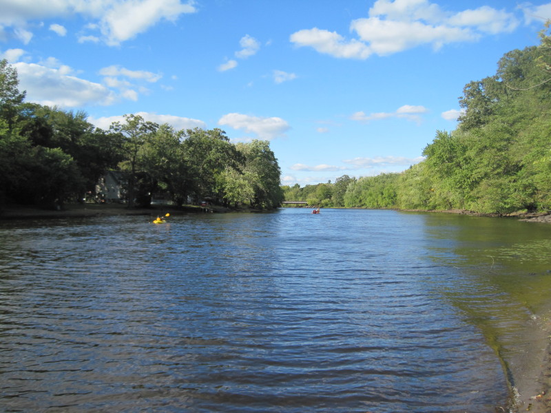
The Concord, Assabet, & Sudbury Wild & Scenic River Stewardship Council Concord River's Boater Trail Map Concord River's Boater Trail Map (cached copy) Concord River's Boater Trail Commentary Guide Concord River's Boater Trail Commentary Guide (cached copy) US Fish & Wildlife Service: Great Meadows National Wildlife Refuge Profile US Fish & Wildlife Service: Great Meadows National Wildlife Refuge Middlesex Canal Museum Paddling.net: Concord River Trip Report 1 All photos in this website are original and copyrighted. 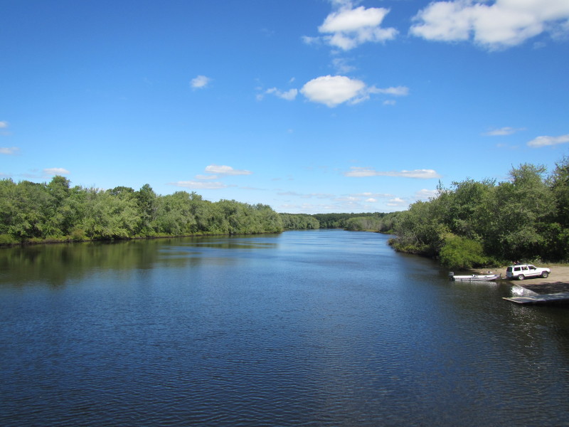 At the Concord River, looking north from the Route 225 bridge.
Launch is on right.
At the Concord River, looking north from the Route 225 bridge.
Launch is on right.
Trip date is September 2012. 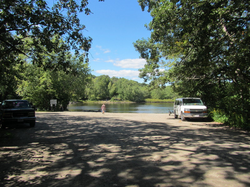 Launch area has plenty of parking spaces.
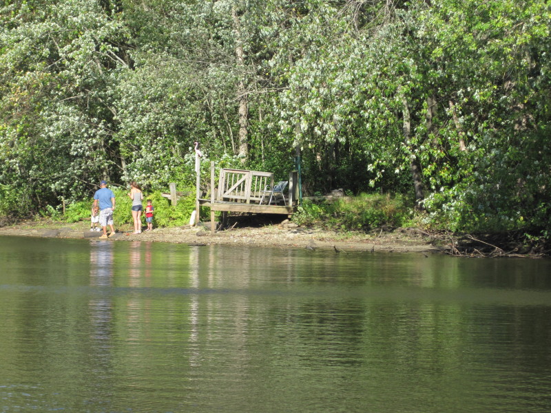
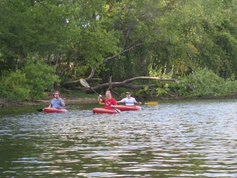
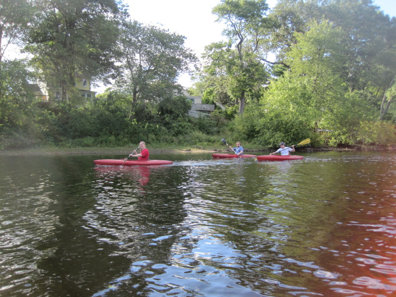
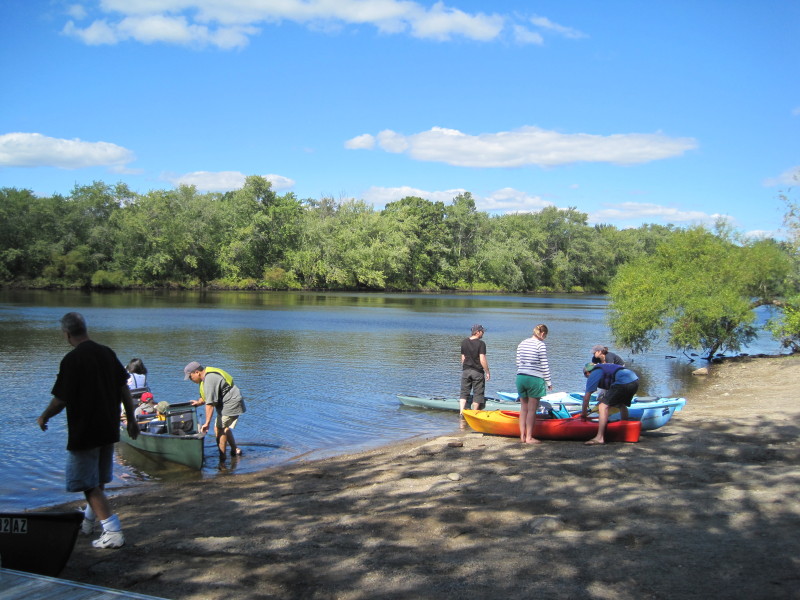 Paddlers launching before us.
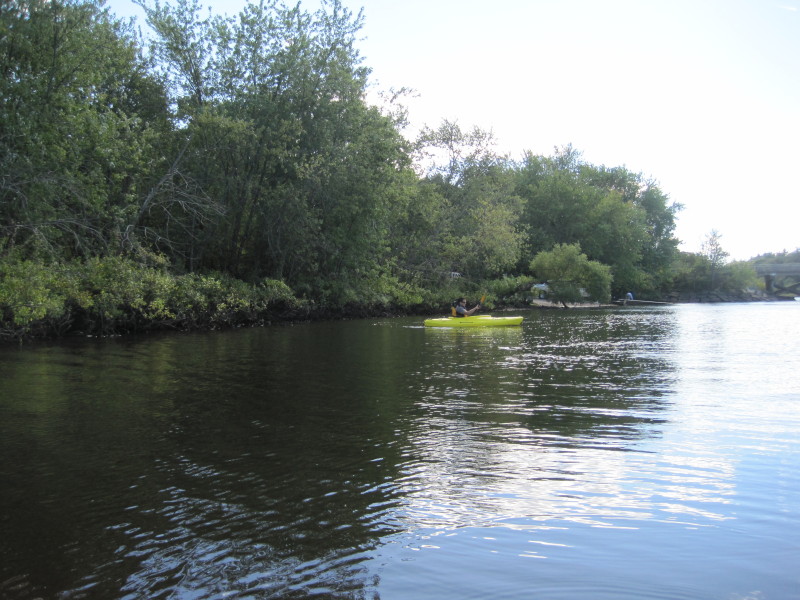
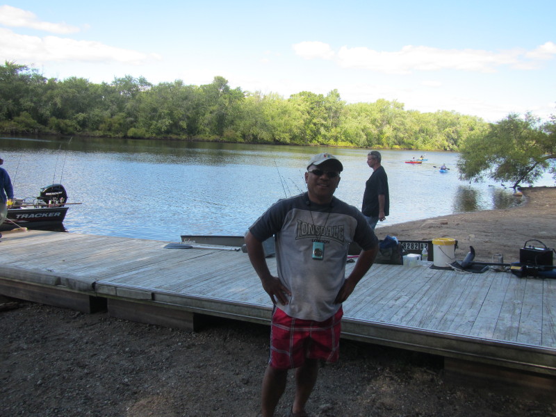 The Boston Kayaker at Concord River in Bedford MA.
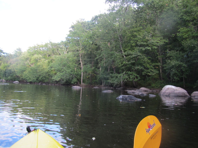
 Just launched on the Concord River.
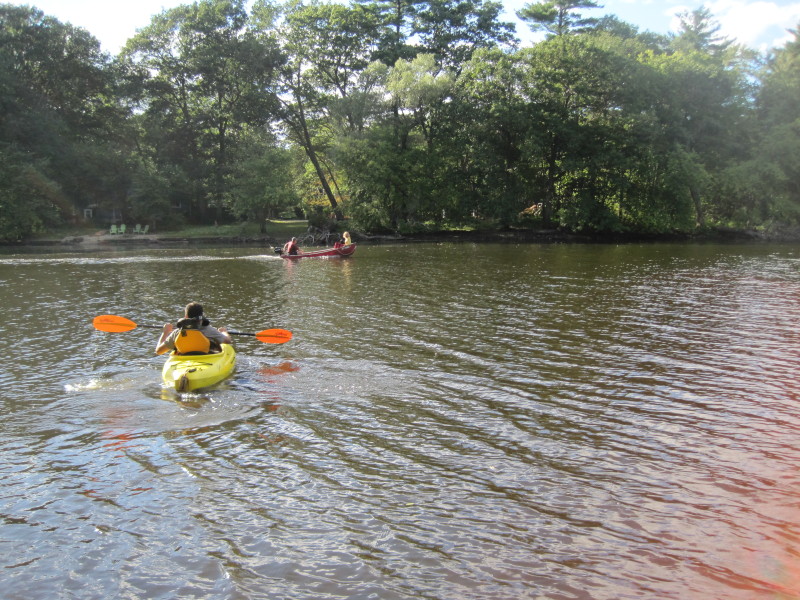
 My friend from work, Gokul on his first kayak trip.
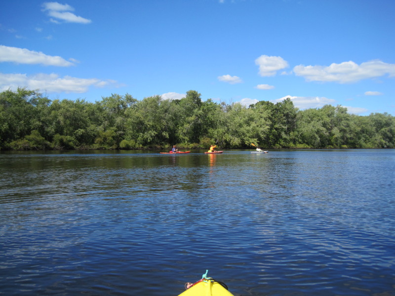
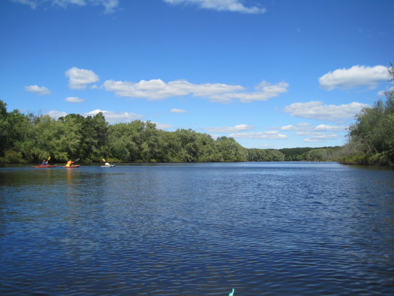
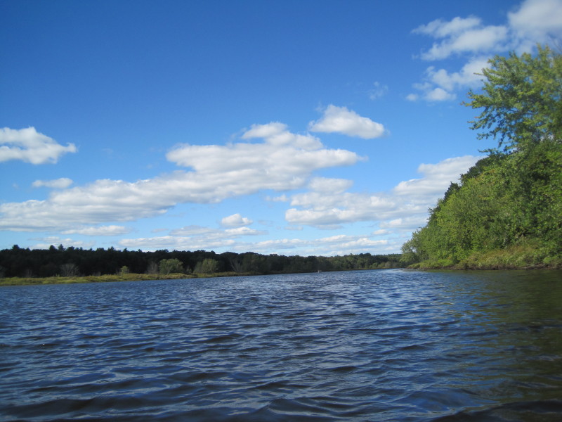
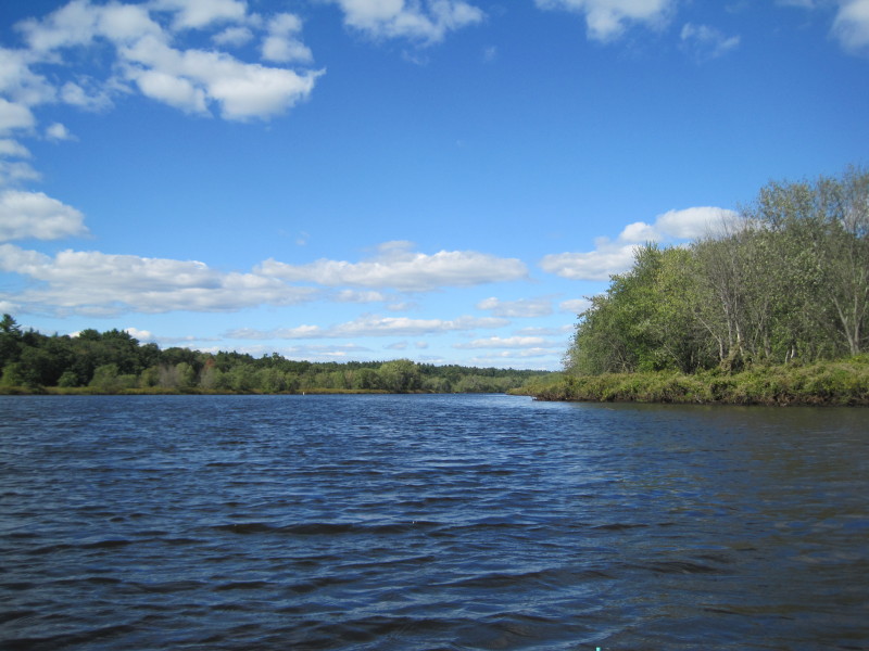
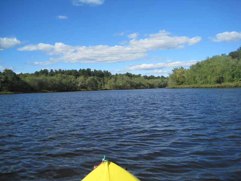
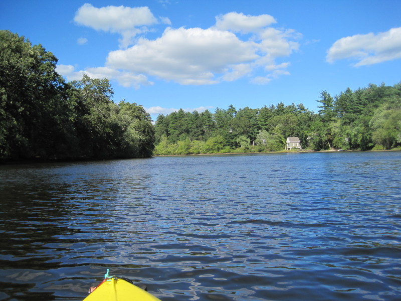
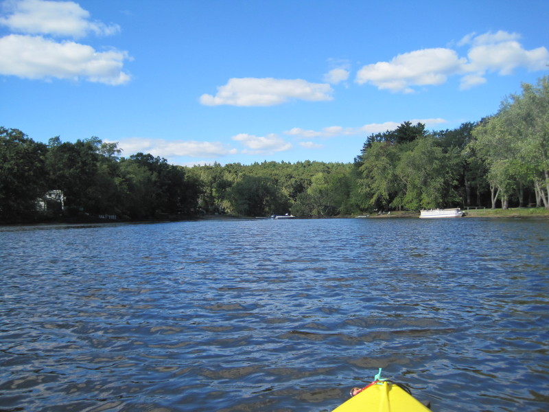
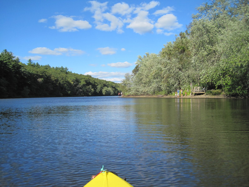
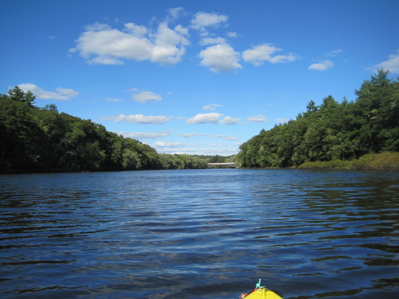
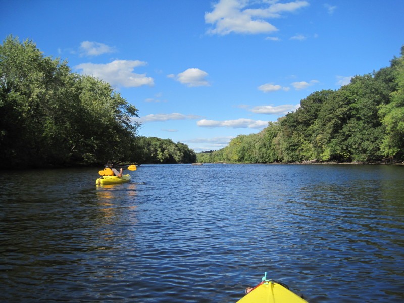
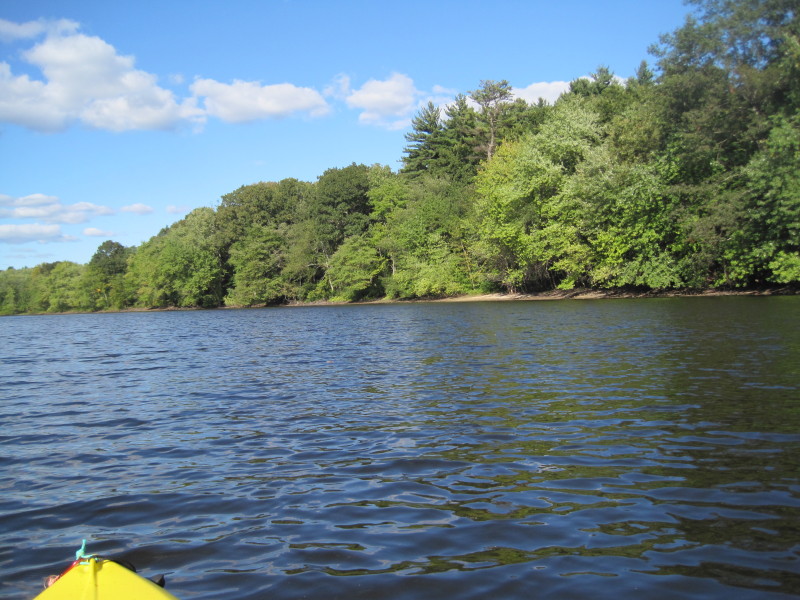
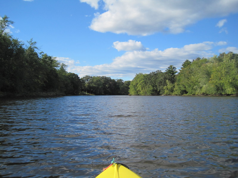
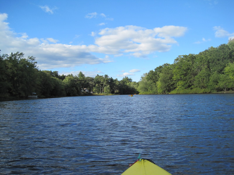
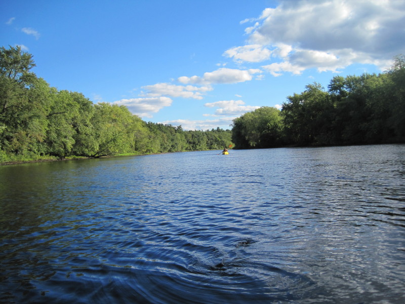
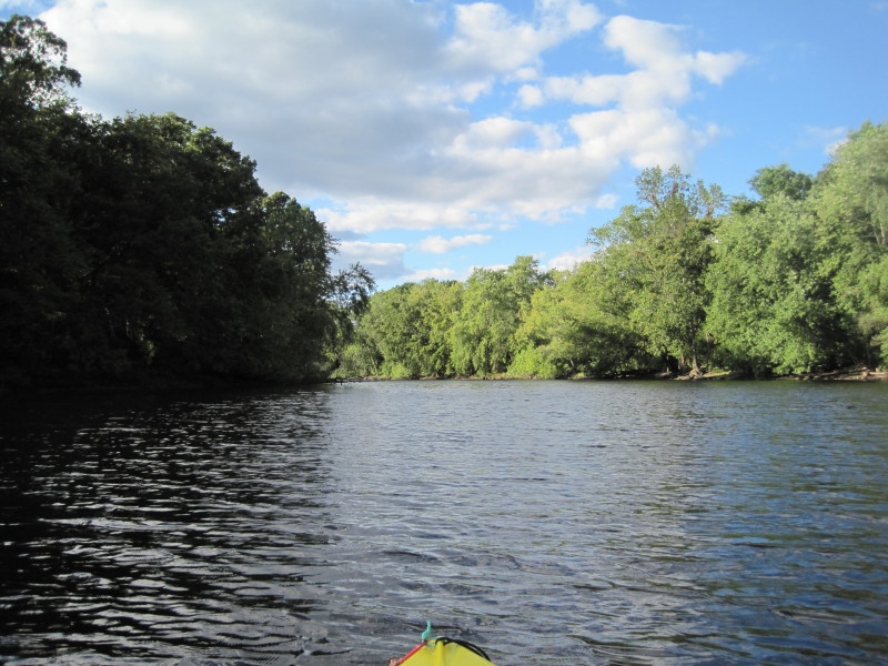
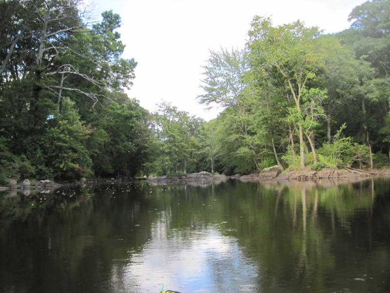
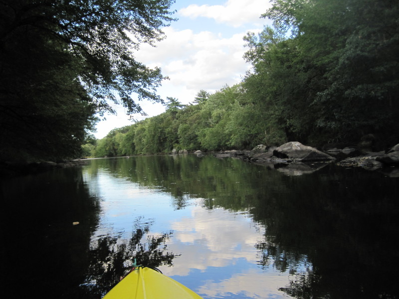
 Paddling north on the Concord River.
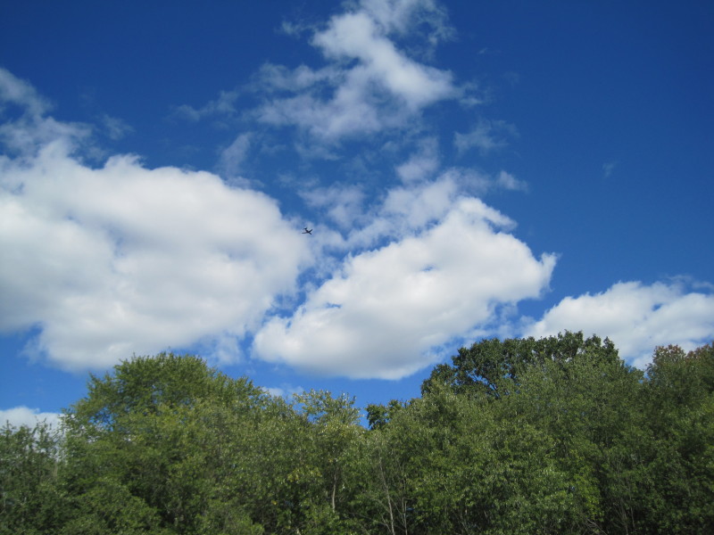 Airplane.
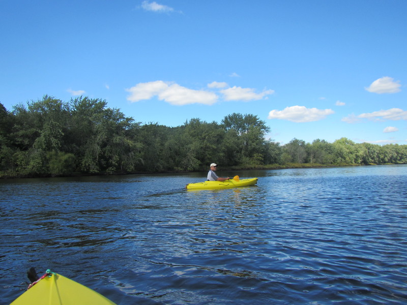
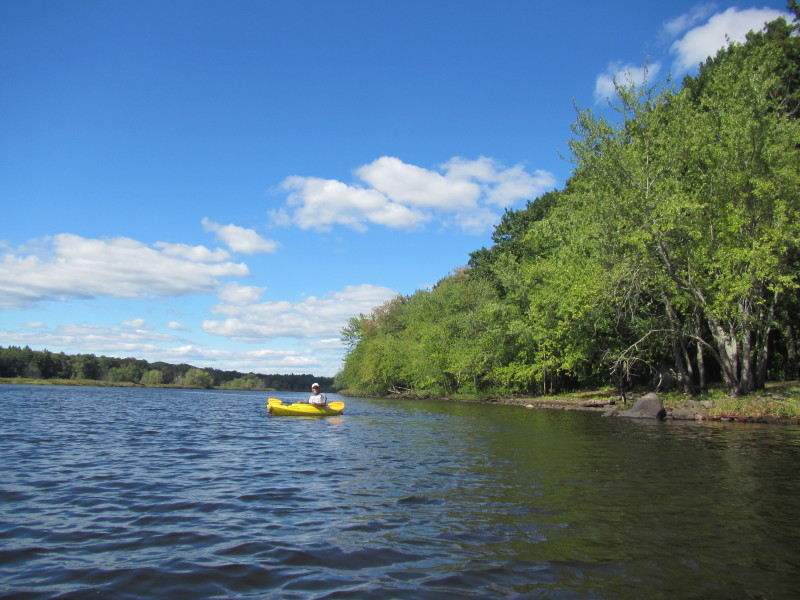
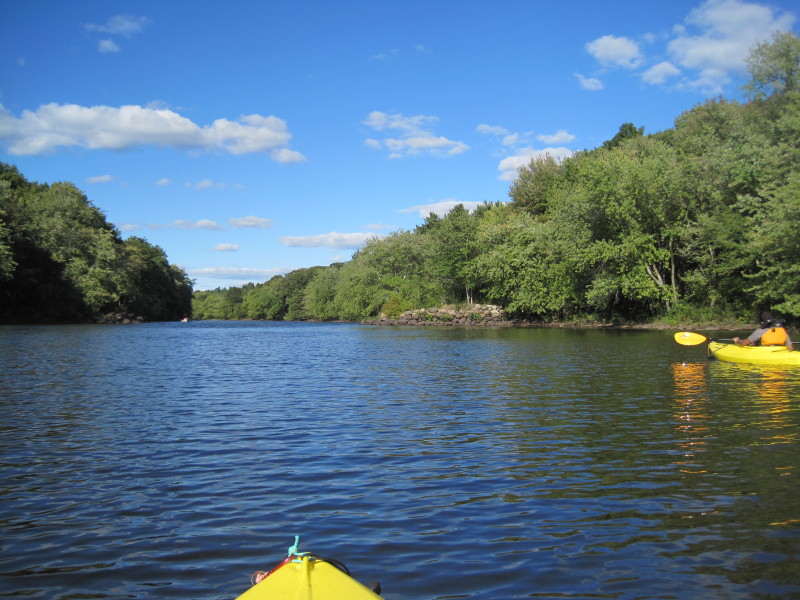
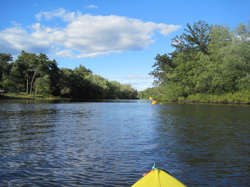
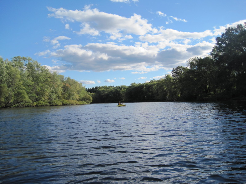
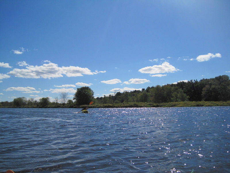 Looking back at my tripmate.
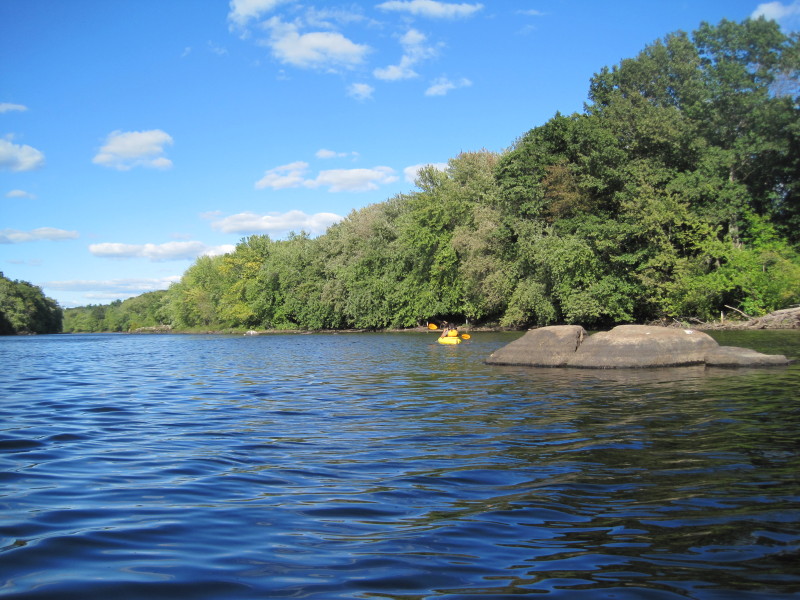
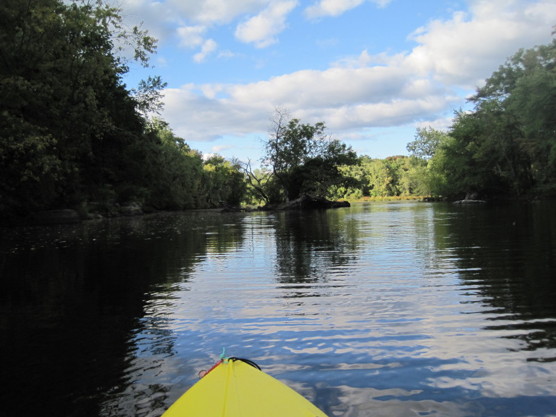
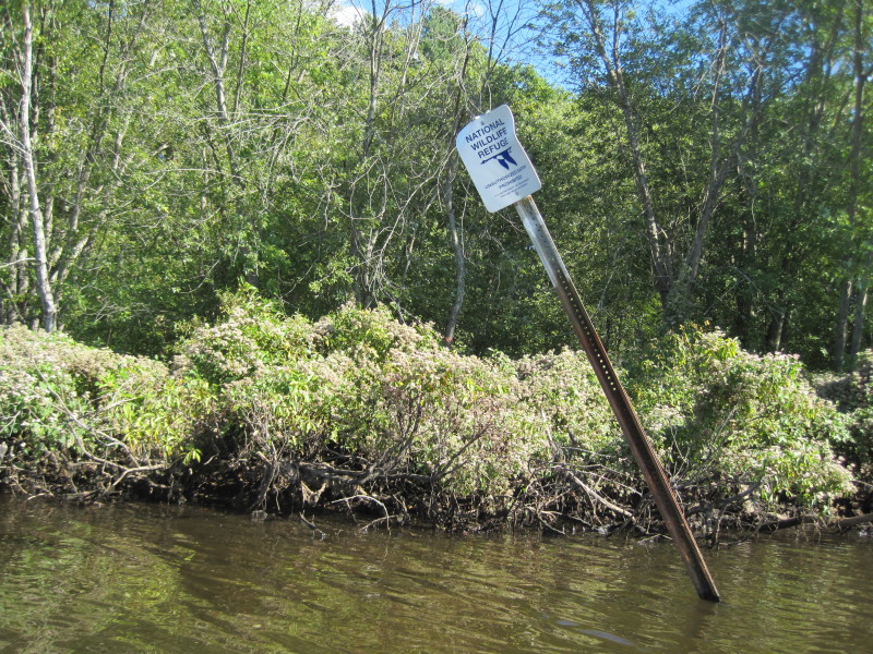 Great Meadowns National Wildlife Refuge on the east bank.
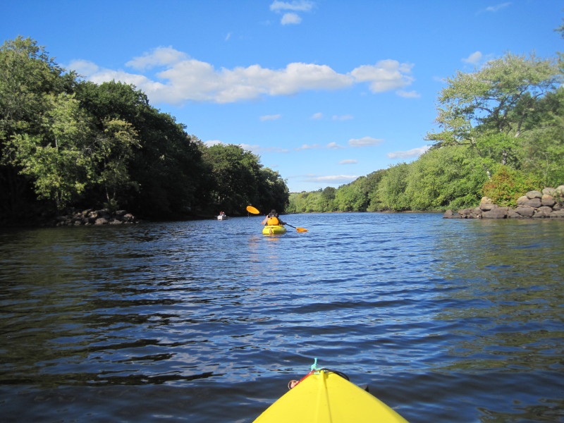
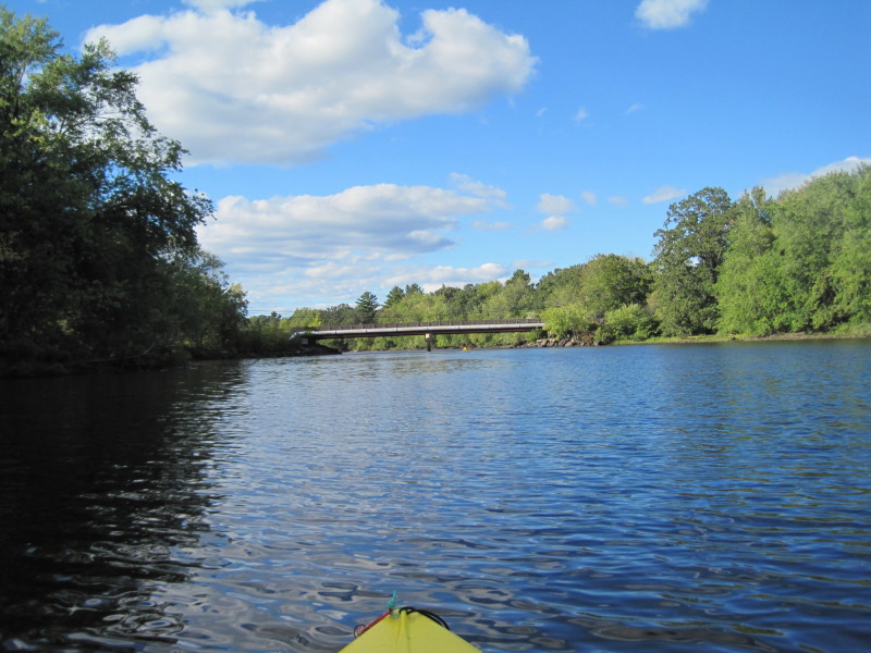
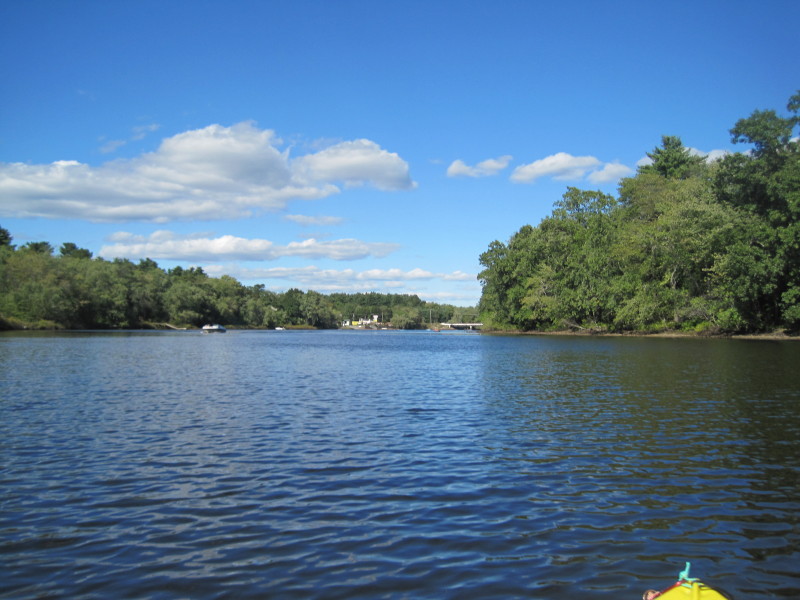 Route 4 / Nashua Road bridge is within sight.
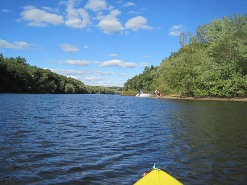
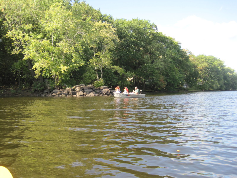
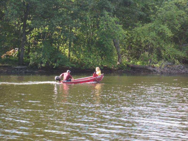
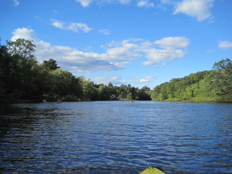
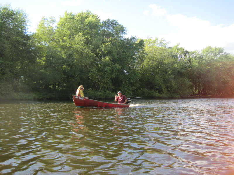
The first of 5 bridges on our route. 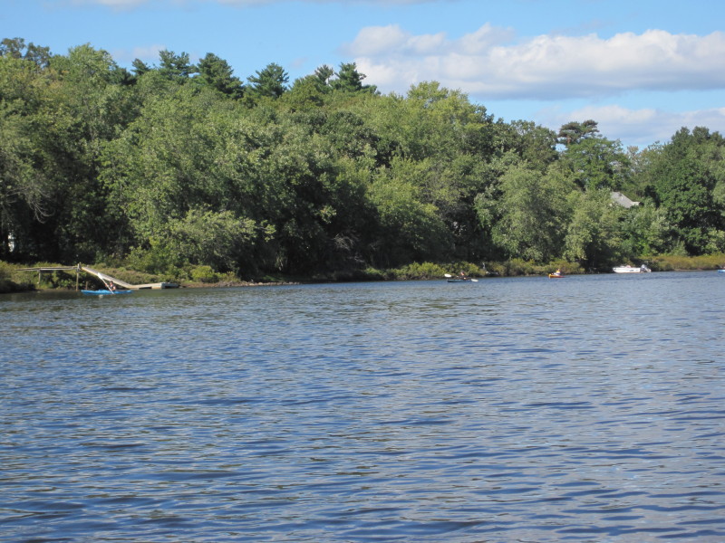 The group of kayakers that launched before us now on their way back.
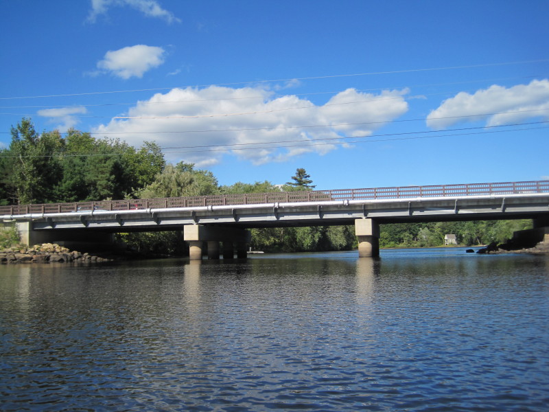 Route 4 / Nashua Road bridge.
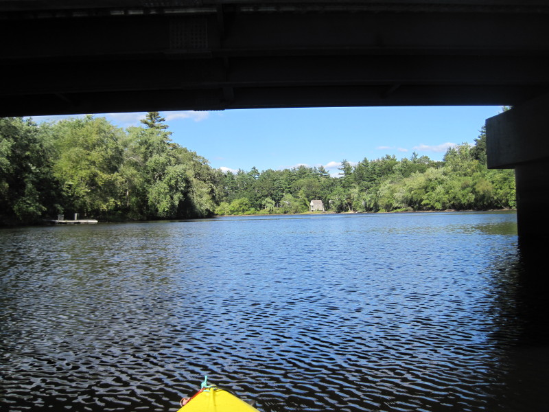
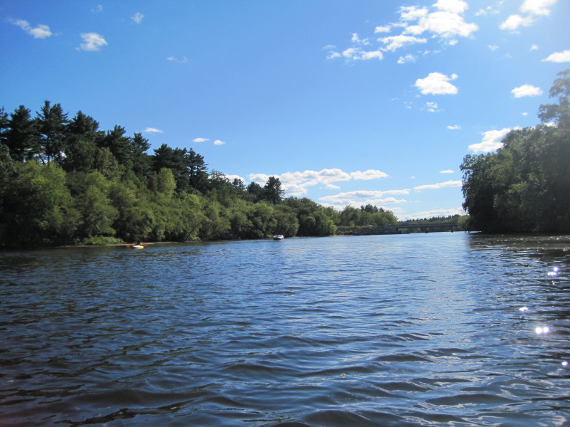
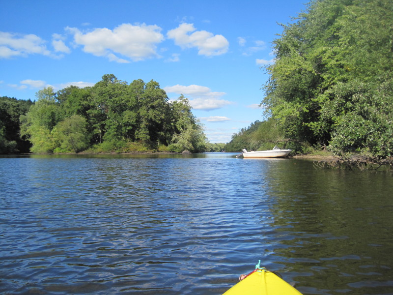
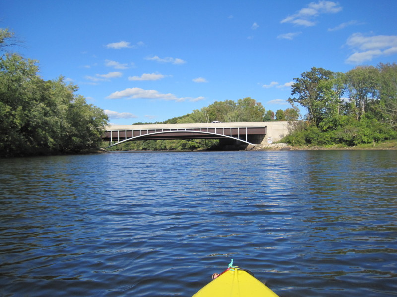
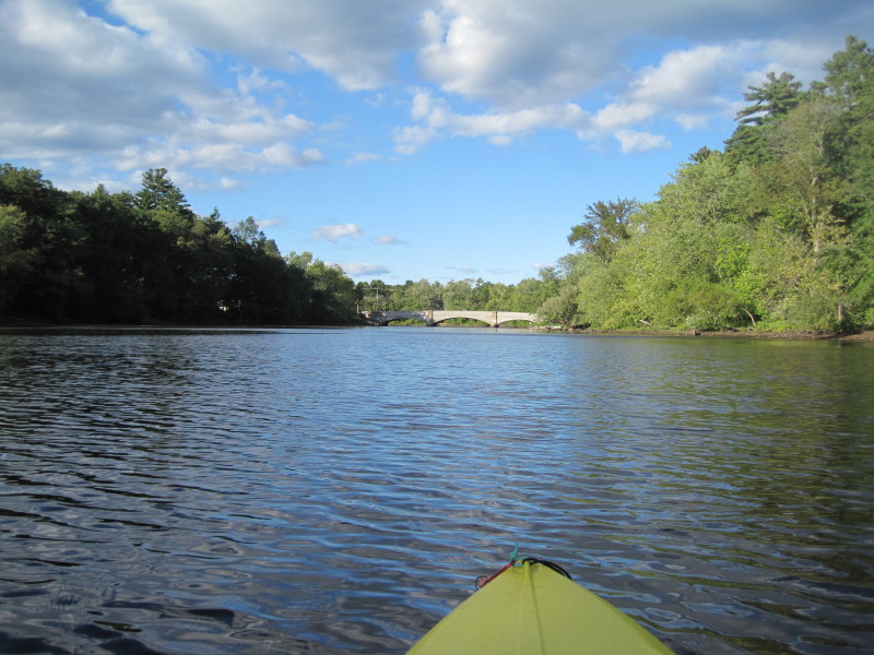
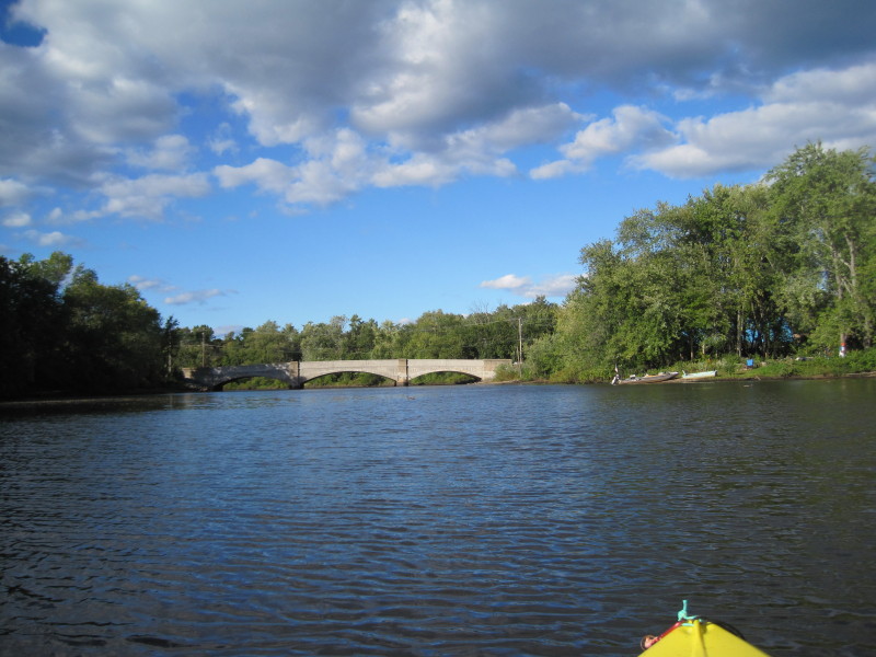
 The Route 3 bridges coming up.
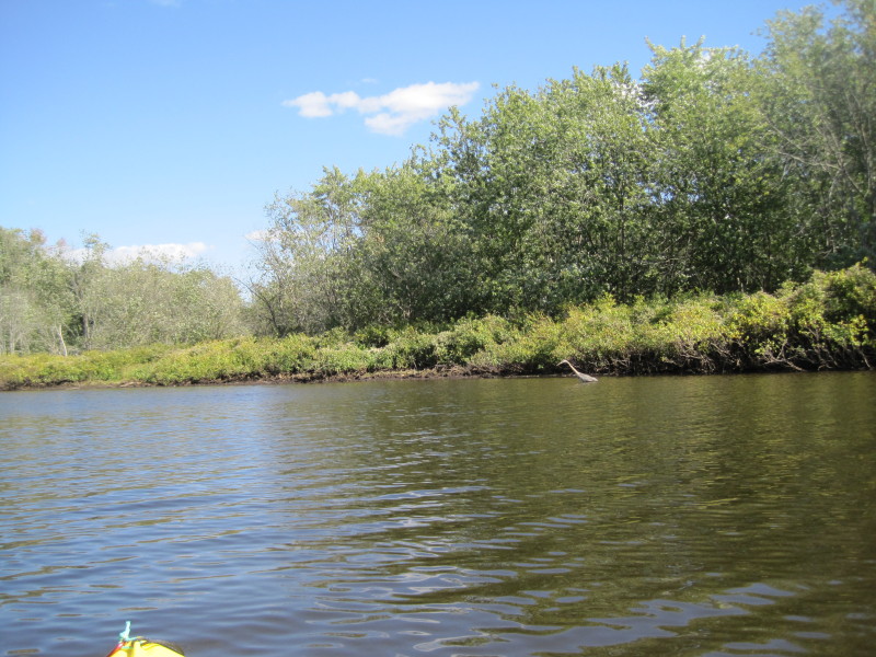
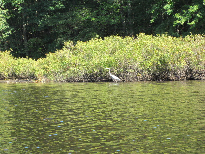 A blue heron on Concord River.
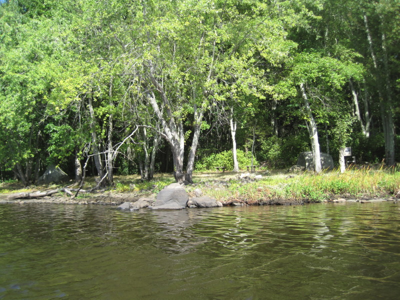
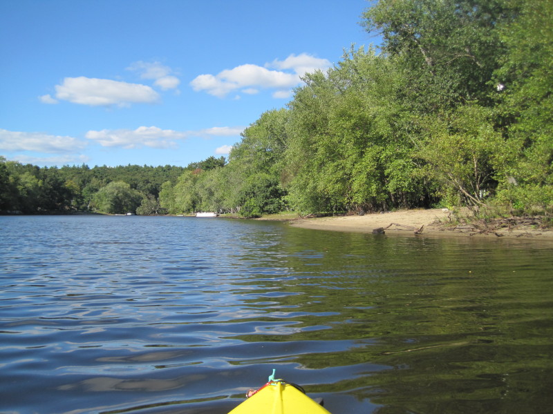
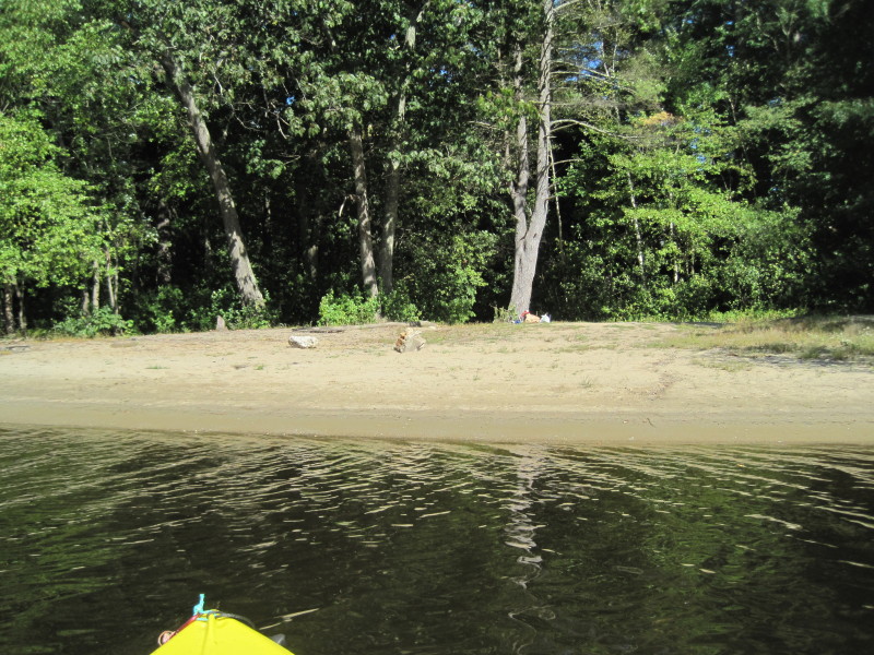
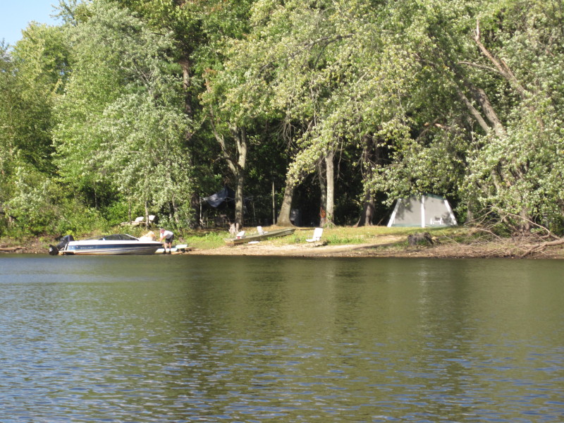
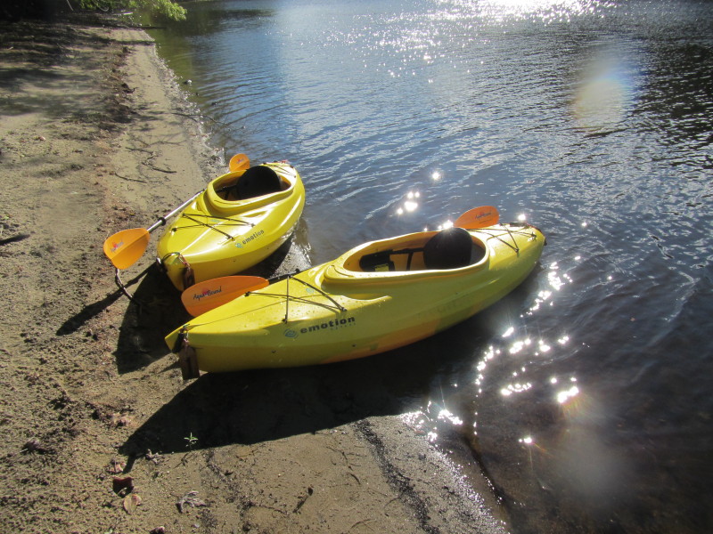
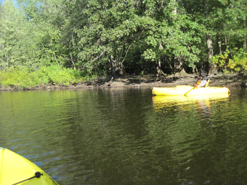
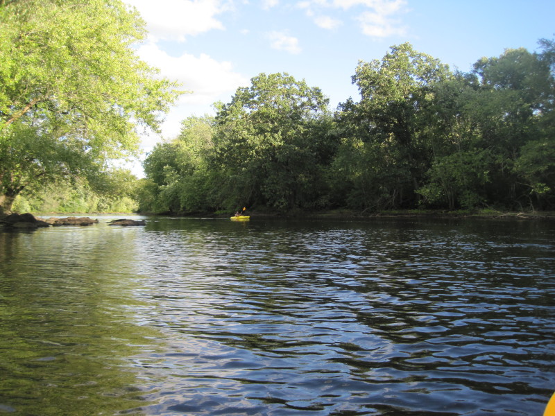
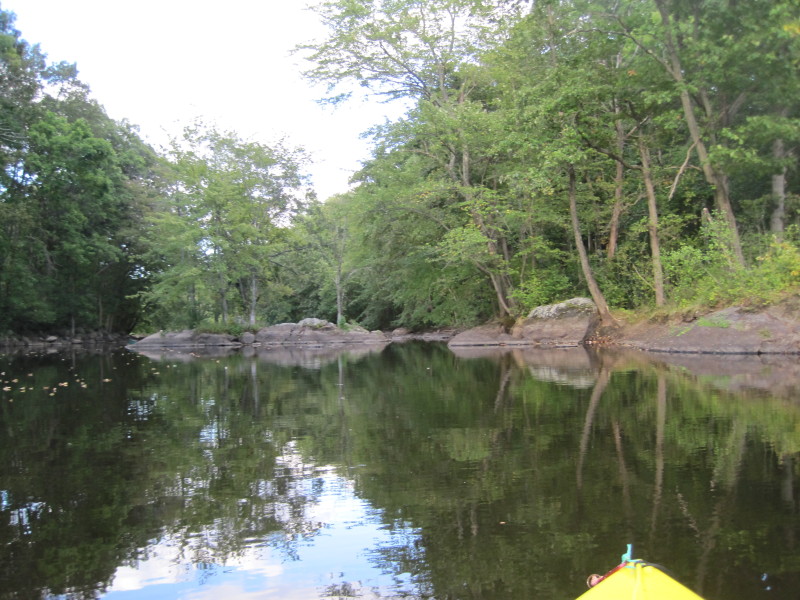
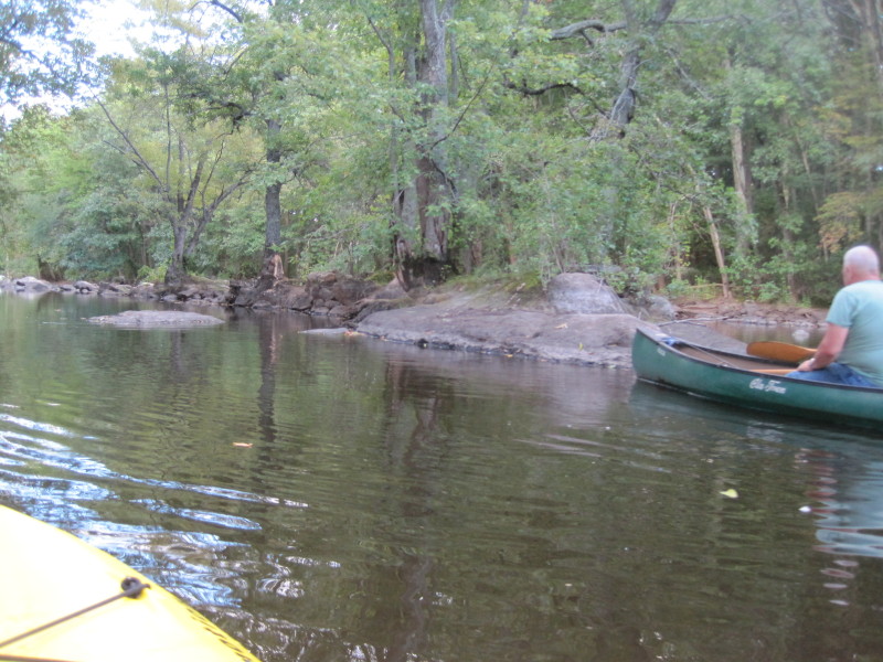
 On my right is a nice looking beach that we decided to land on and take a break.
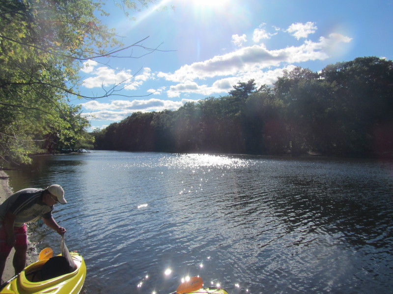
 After our break, I launched Gokul and gave him a few minutes of head start.
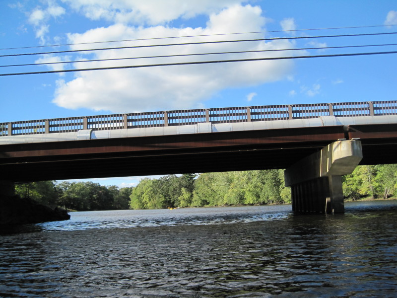
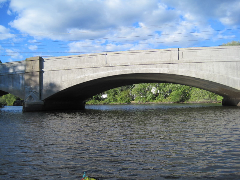
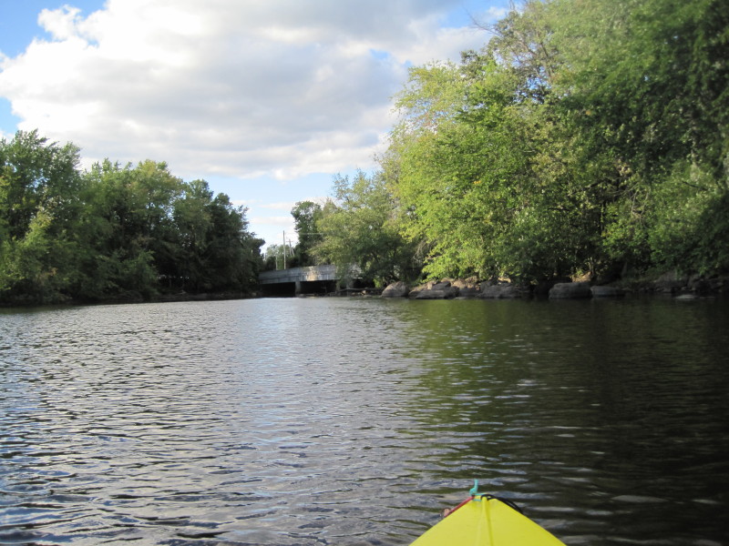
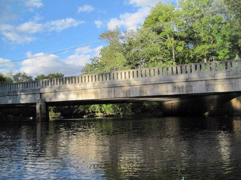
 River Street bridge coming up (3rd of five).
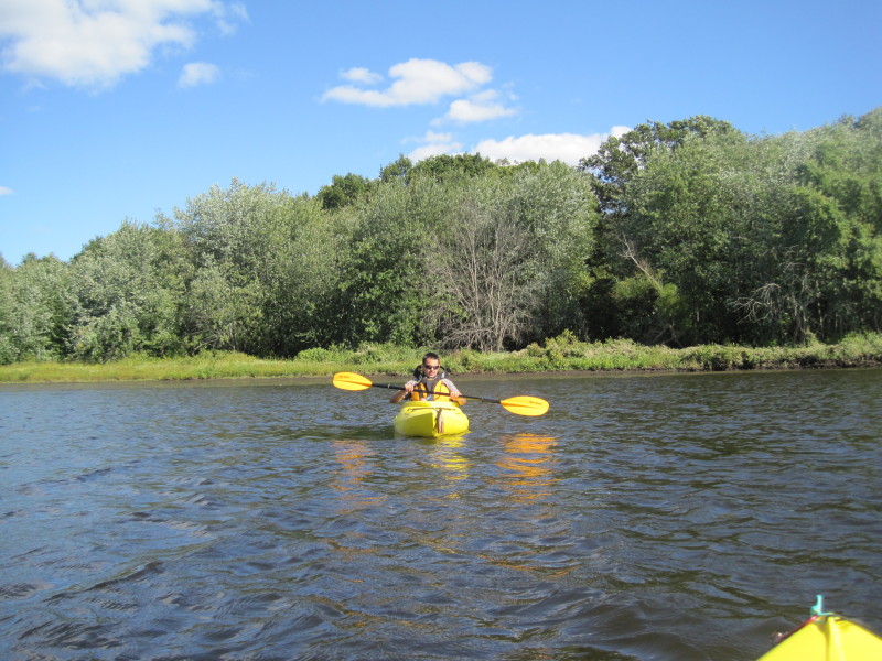
 Gokul, the first-time kayaker!
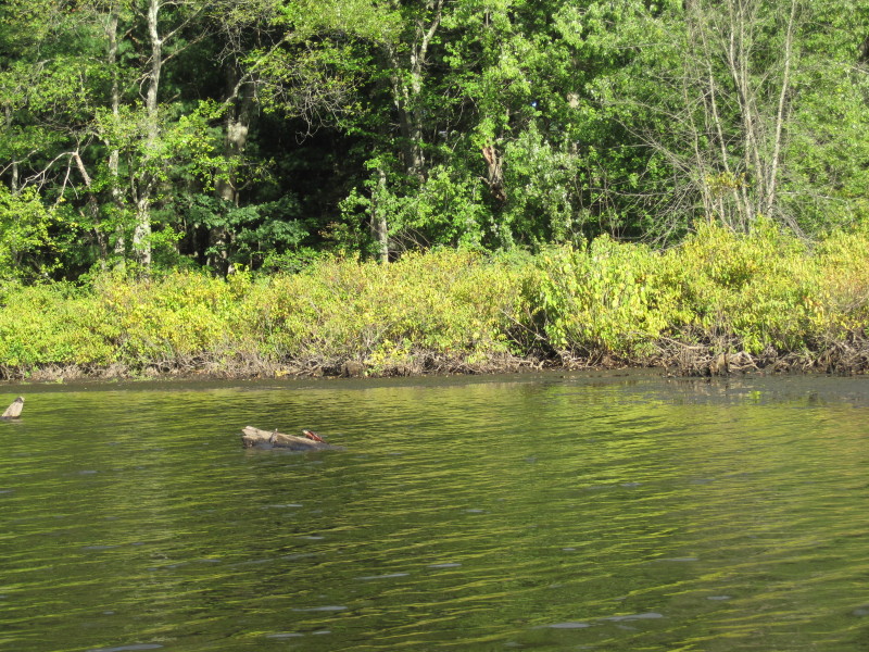 Turtles.
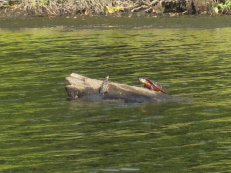 Same picture as above. Cropped to magnify the turtles.
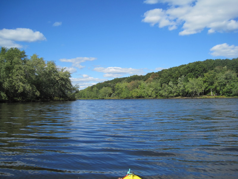
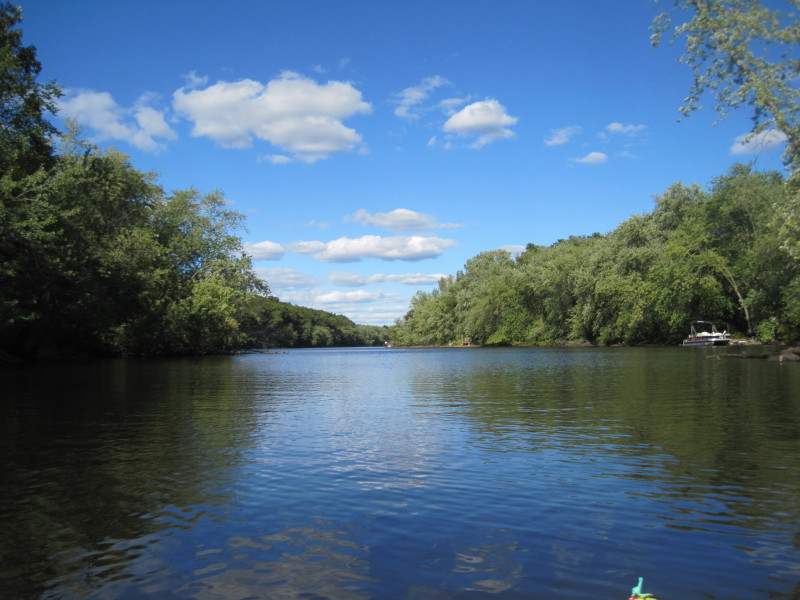
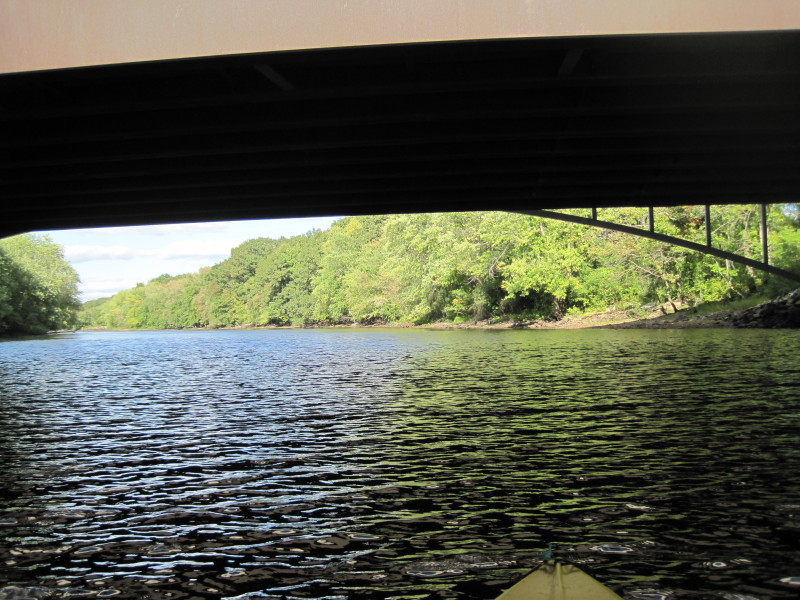
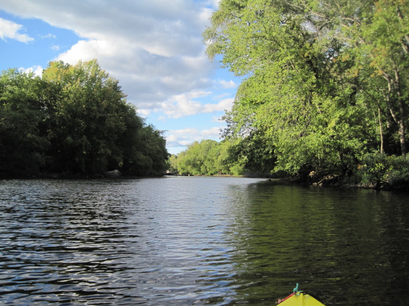
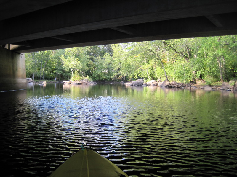
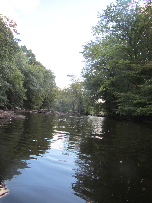
 I can see the next bridge . . .
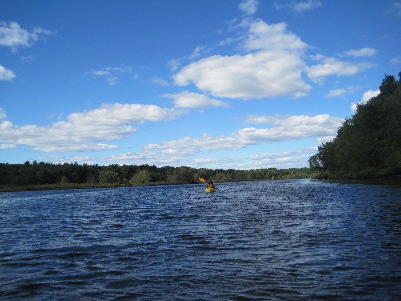
 Looking back (south).
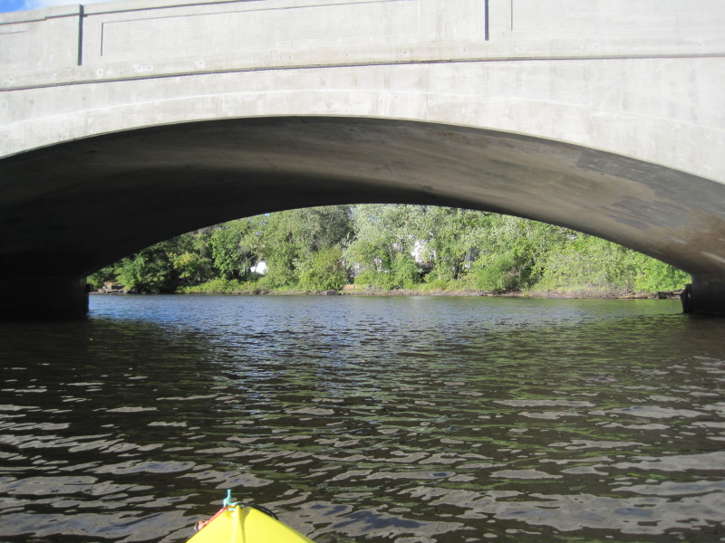
 Boston Road bridge (Route 3A / Route 129).
4th bridge of 5.
Boston Road bridge (Route 3A / Route 129).
4th bridge of 5.
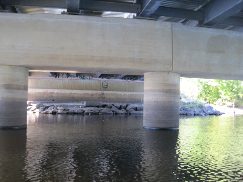
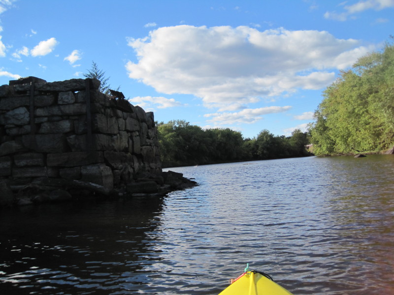
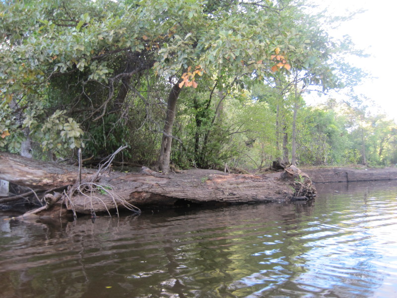
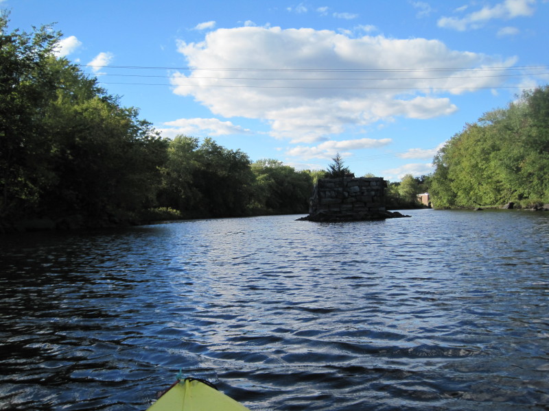 Remnants of an old bridge I am guessing.
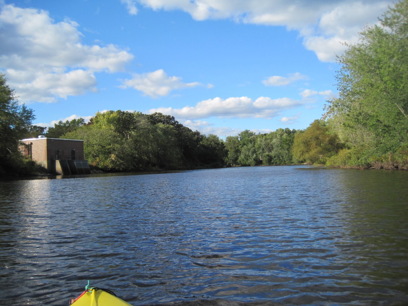
 Pollard Street bridge. The last of our 5 bridges.
 After passing under this 5th bridge, take out should be in 15 minutes or so.
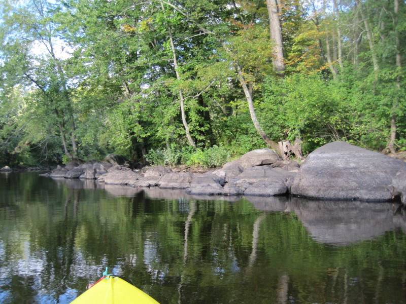 This last stretch after the bridge has these boulders and rock islands.
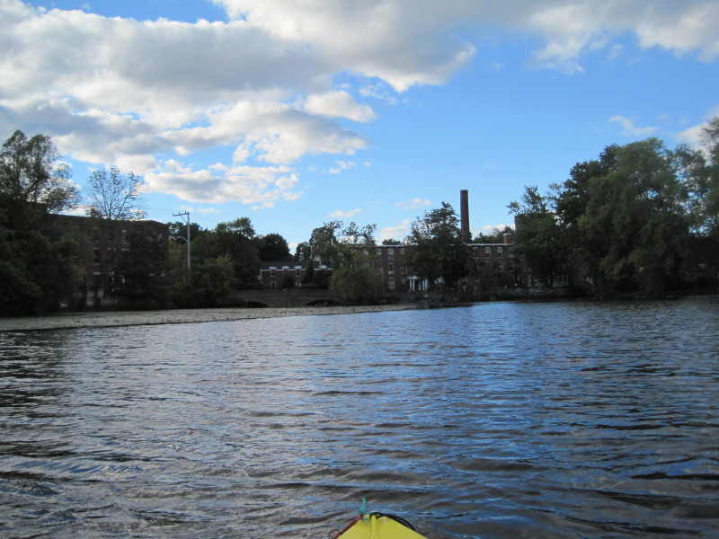
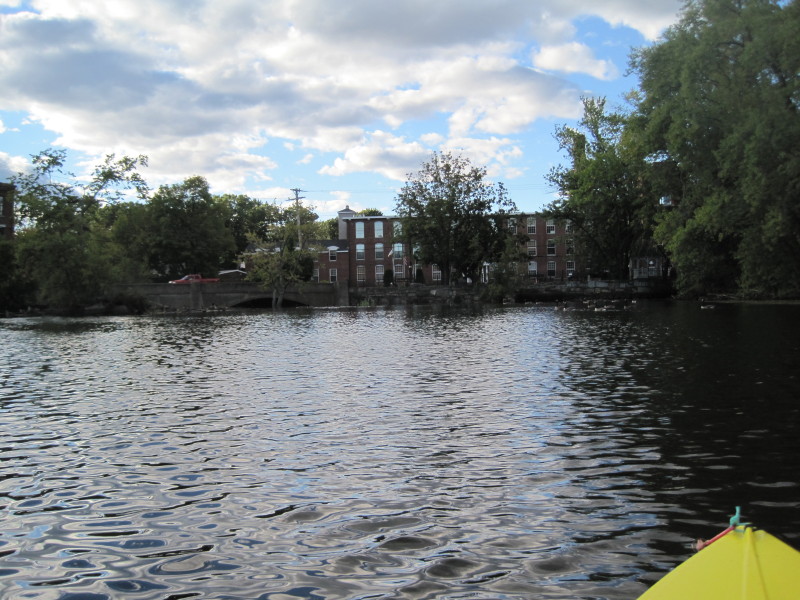 I am about to land on my right. The dam is just 20 feet+ in front of me.
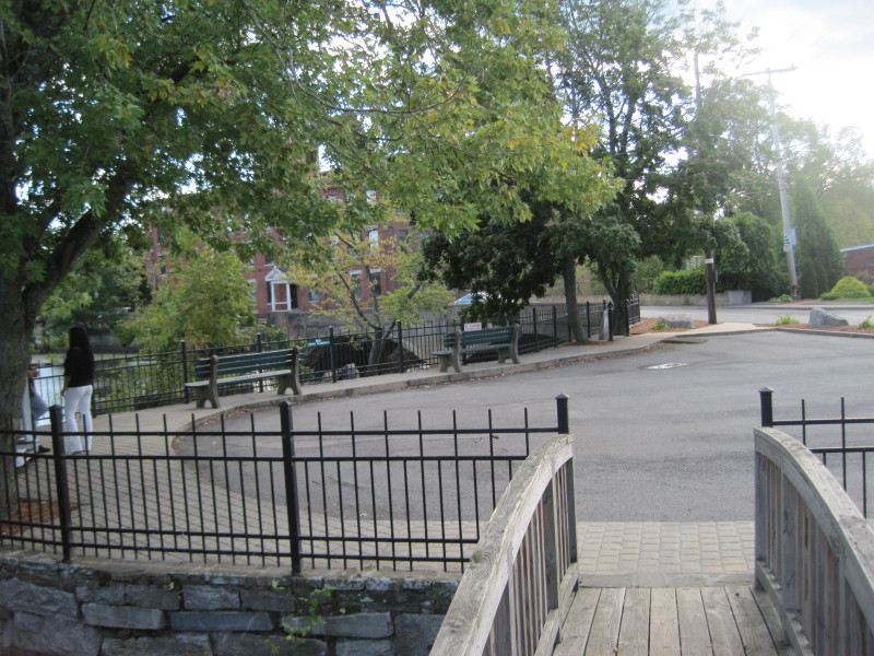 A small park on Faulkner Street with a view of Concord River and dam.
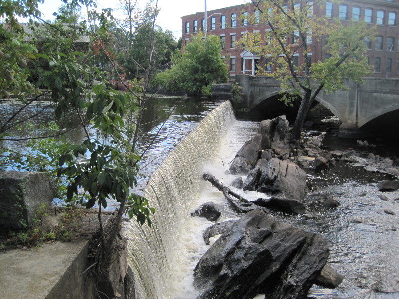 Faulkner Mills dam and falls.
We were in the water for 3 hours and 10 minutes. |