 Kayaker

|


|
Download printer-friendly
PDF version that fits in one page: |

|
|
Other resources:
Paddling.net: Chorocua Lake Launch Site VisitingNewEngland.com: Chocorua Lake Reflects the Scenic Beauty of NH REI Guidepost: Chocorua Lake NH Wildlife: Chocorua Lake Topgraphic Map Chocorua Lake Association Chocorua Lake Association Newsletter (w/ pictures of lake) Wikipedia: Chocorua Lake All photos in this website are original and copyrighted. 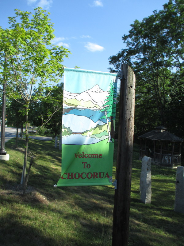
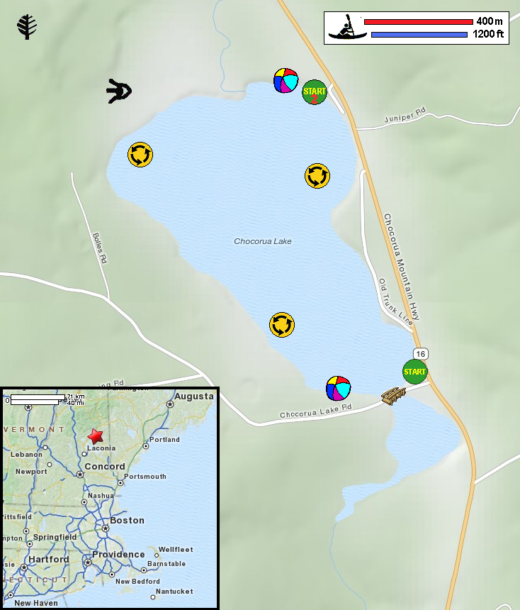
At Chocorua NH. Trip date is July 2016. 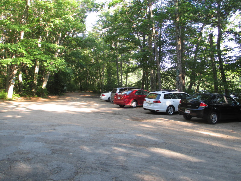 At Chocorua Lake Road access area to Chocorua Lake.
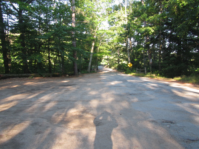
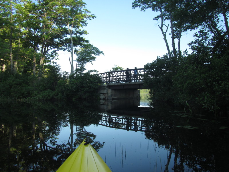
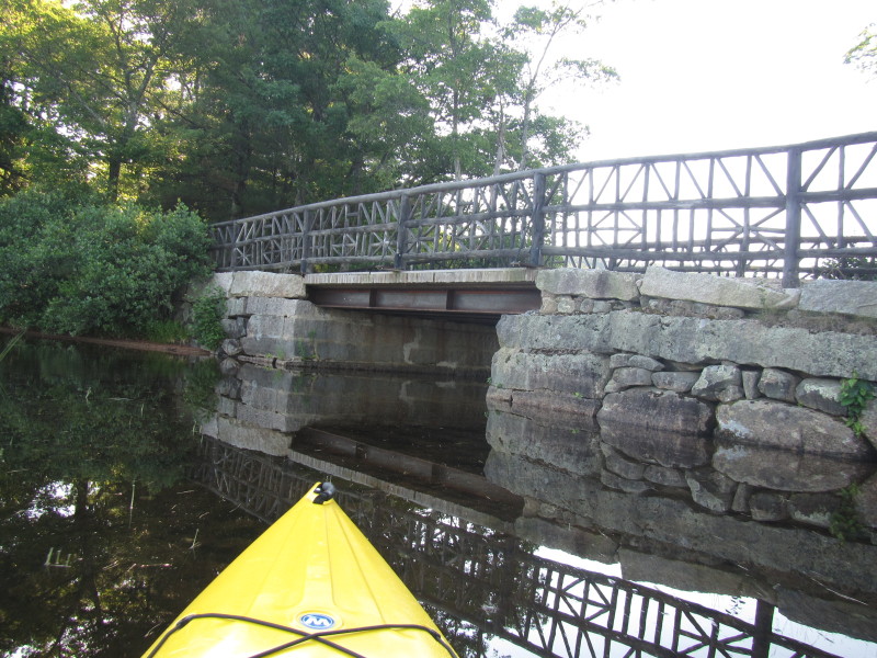
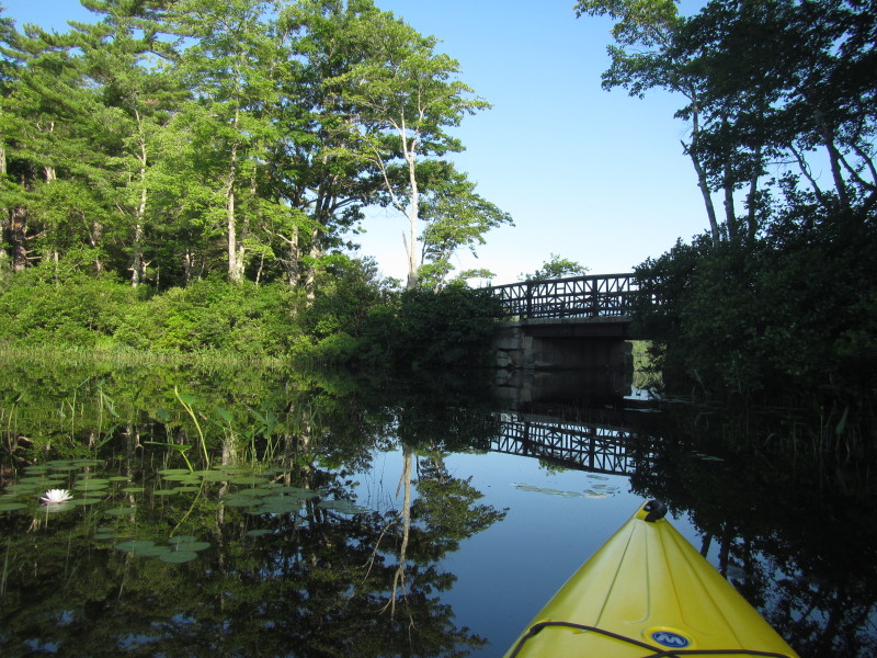
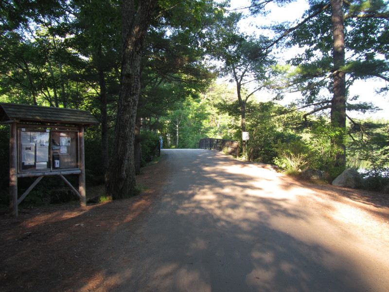 Chocorua Lake Road and the one-lane bridge.
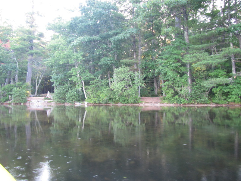
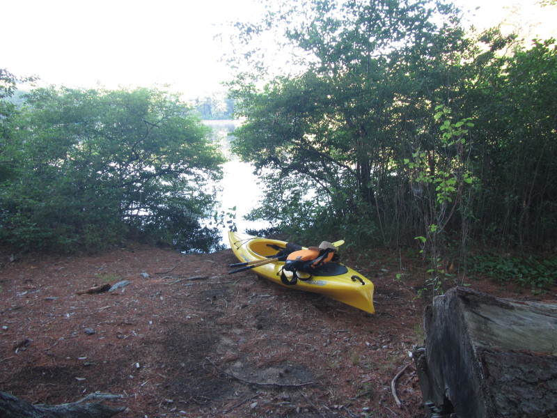 Today, I put in next to the parking area south east side of bridge.
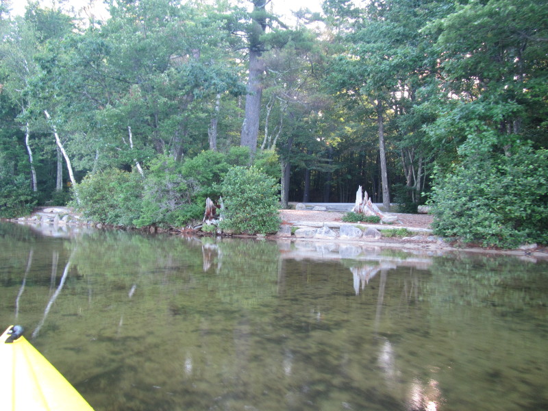
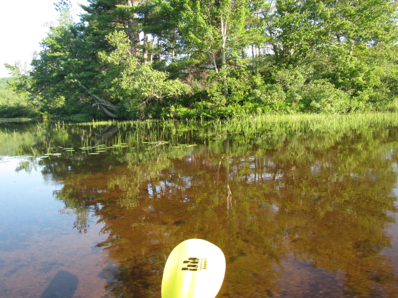
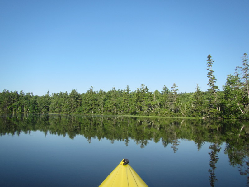
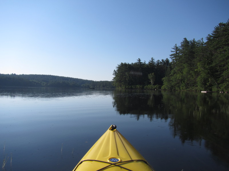
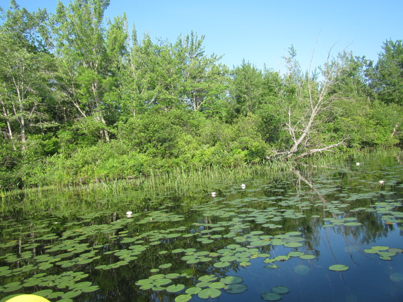
It turns out there is a sandy spot on the north west side of the bridge. 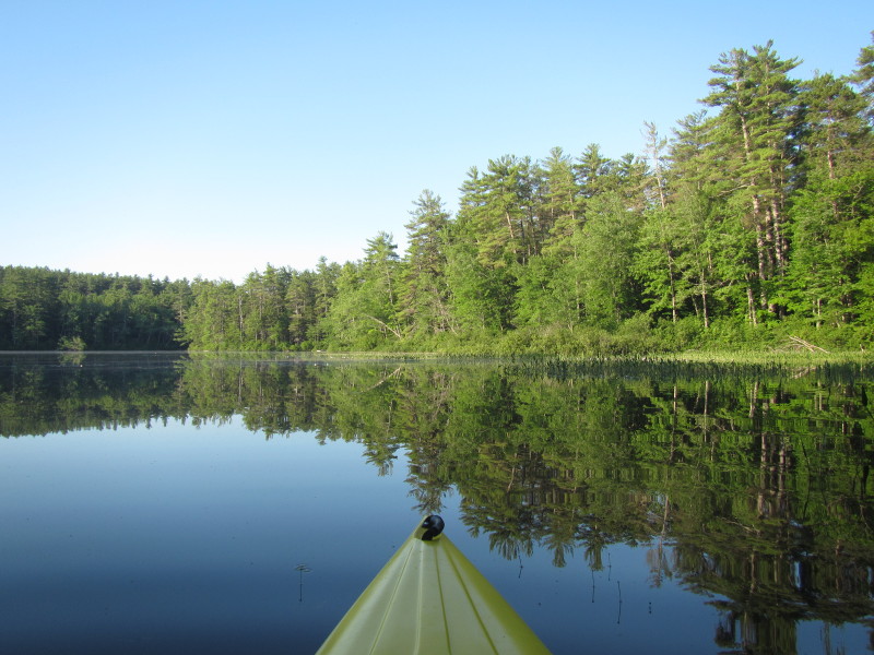 Just launched into Chocorua Lake.
 To my right is one-lane bridge.
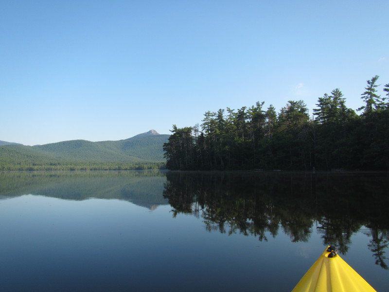
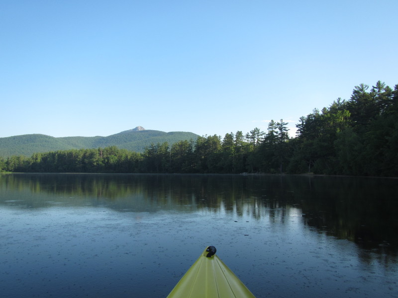
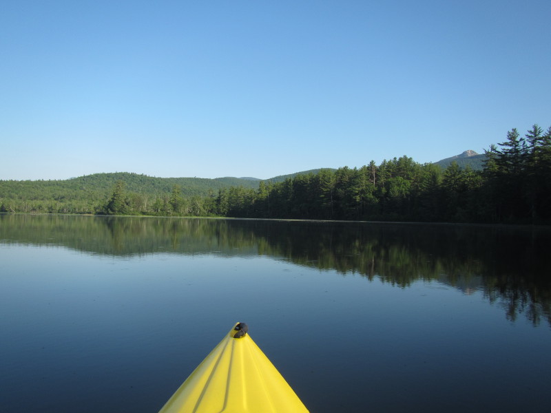
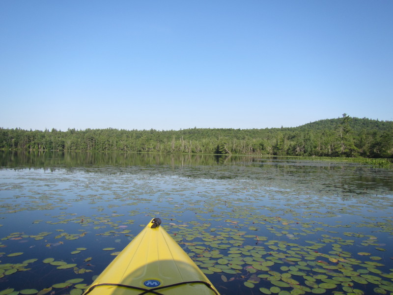
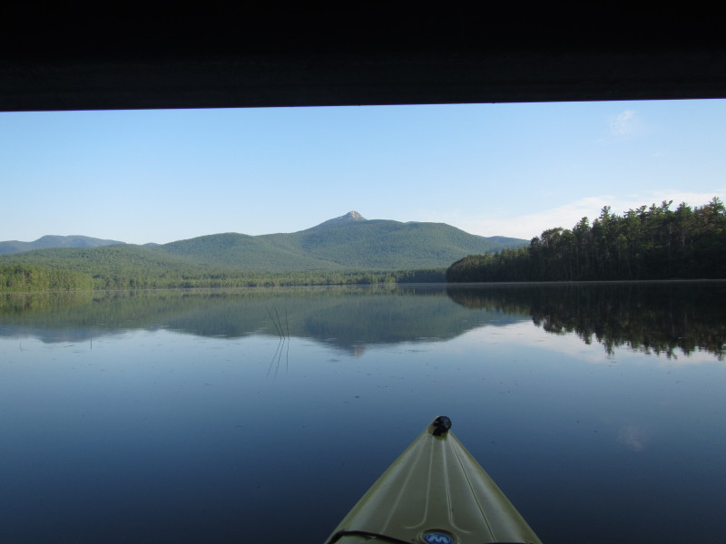 Passing under the bridge, the summit of Mount Chocorua can not be missed.
 Veering to my left, will circle Chocorua Lake counter-clockwise.
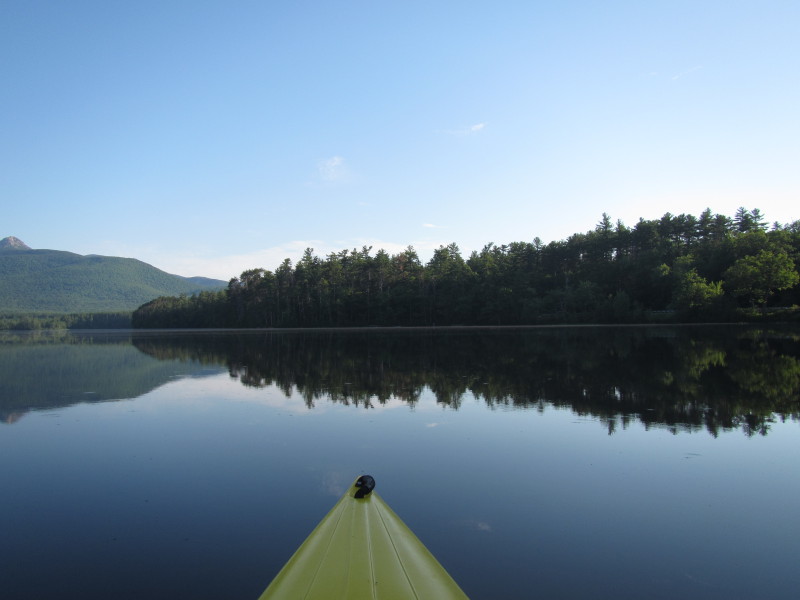
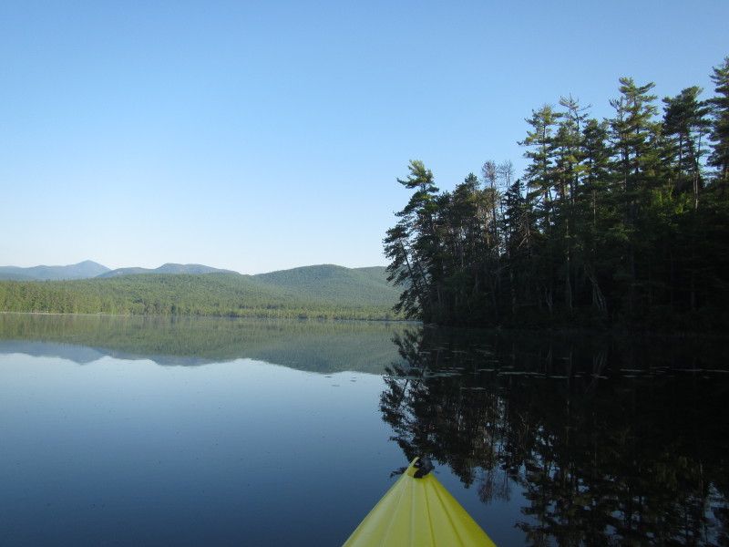
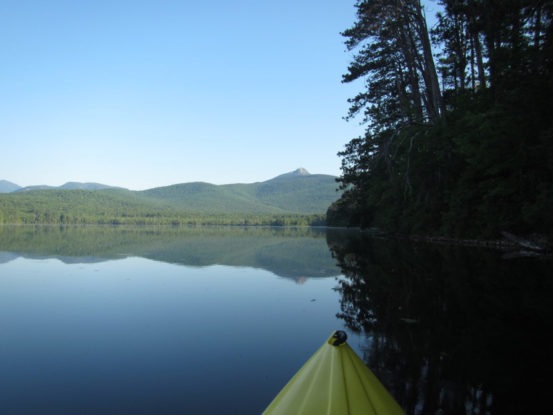
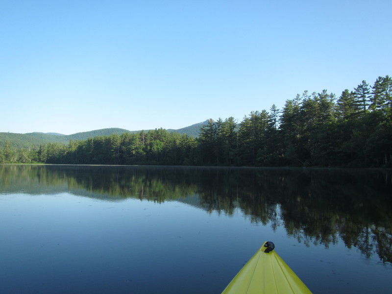
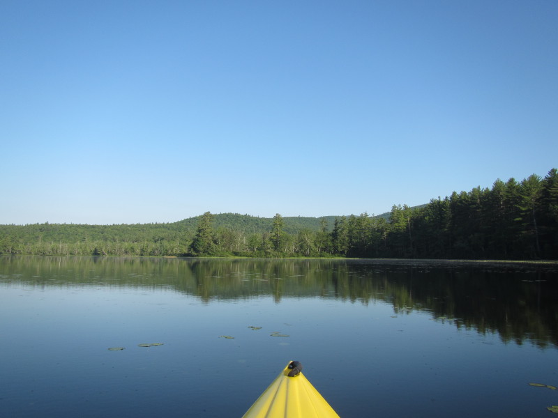
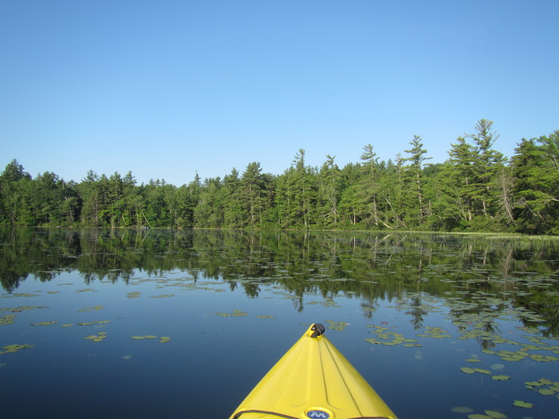
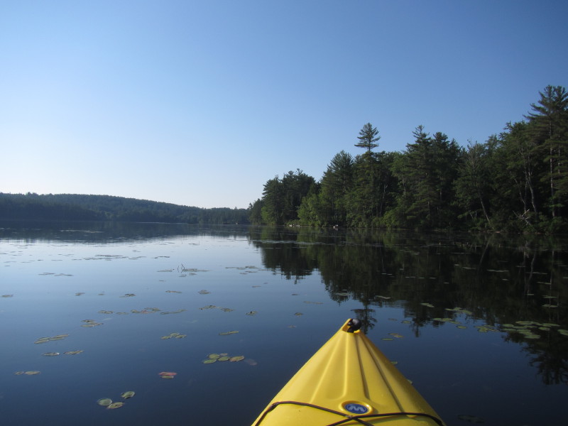
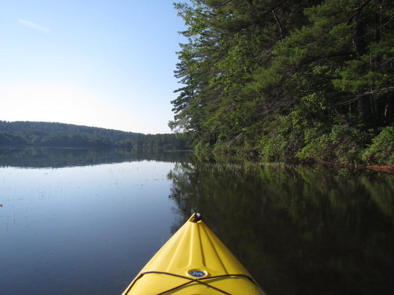
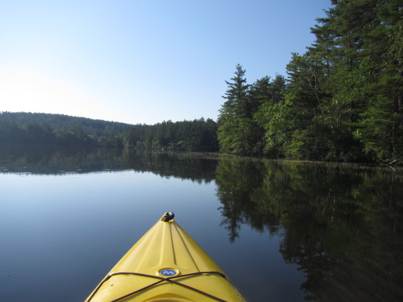
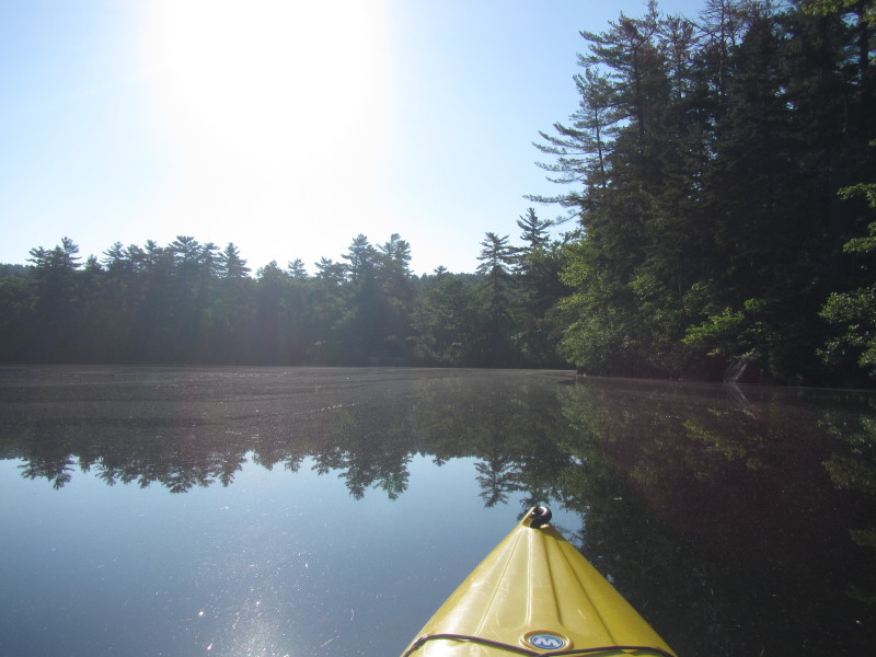
 The western coast on my right, paddling northwards.
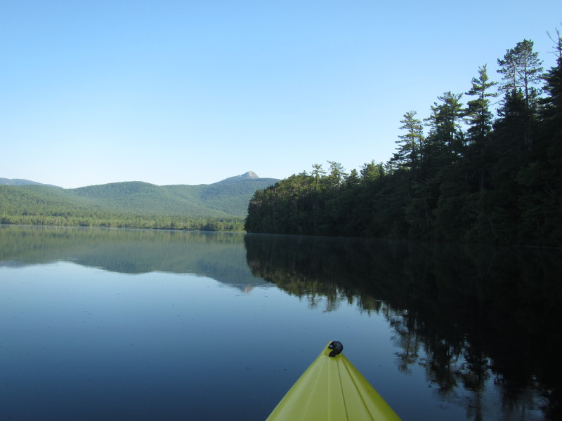
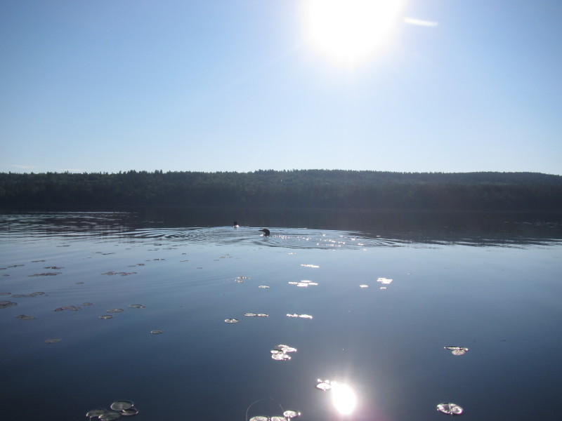
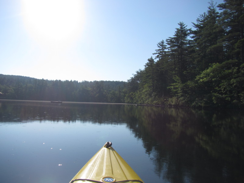
 It is before 8am in the morning and the sun is still rising from the east on my right.
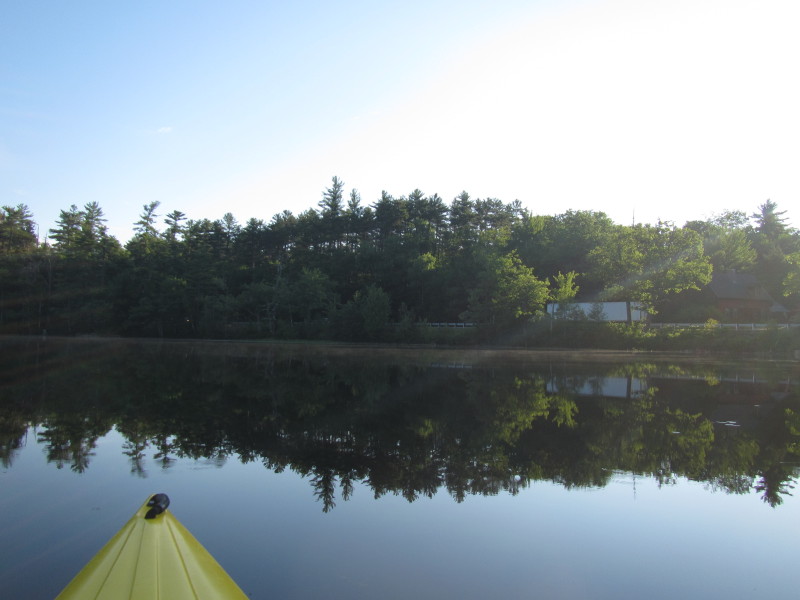
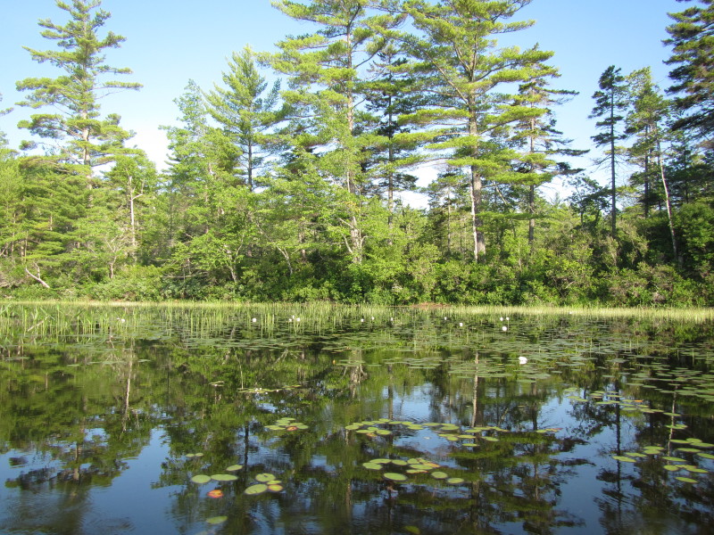
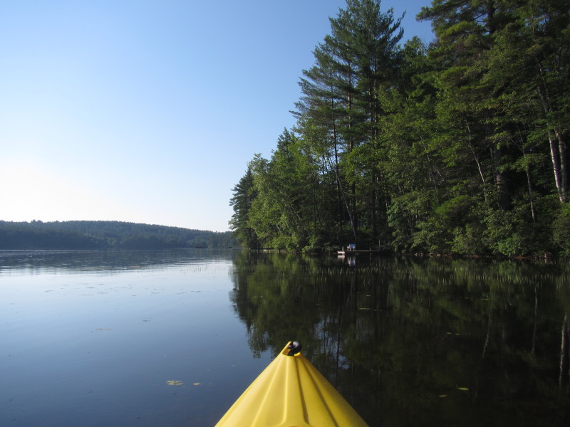
 Further north along Route 116, the alternate access.
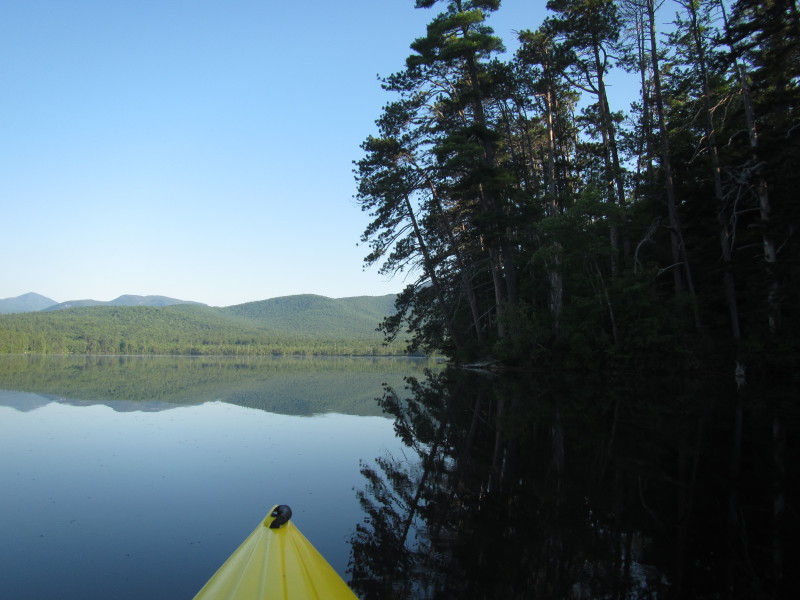
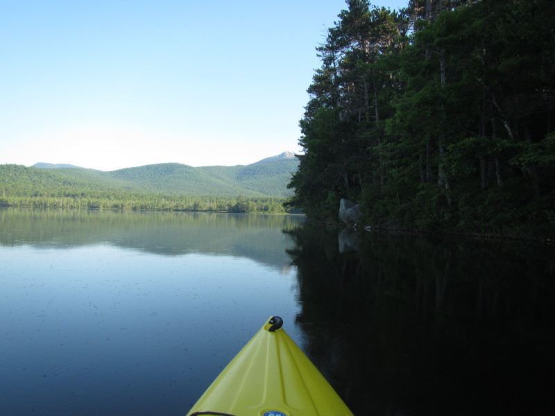
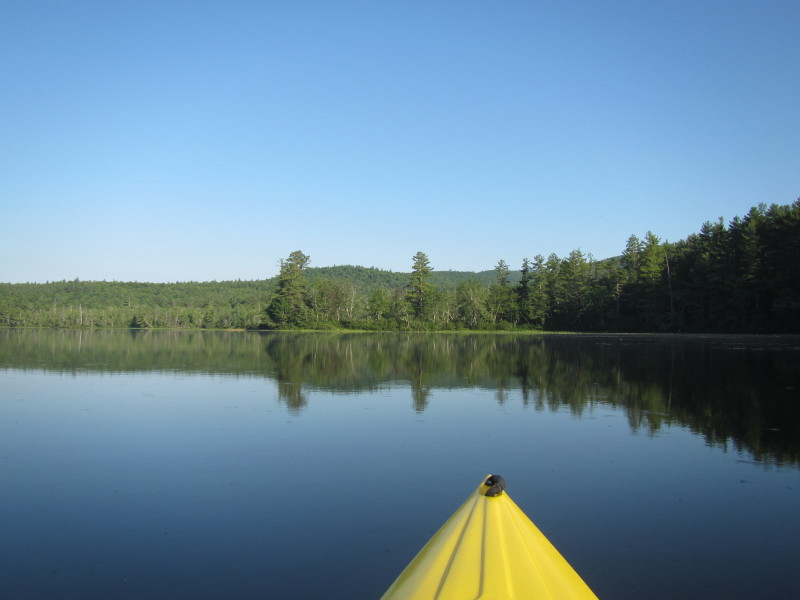
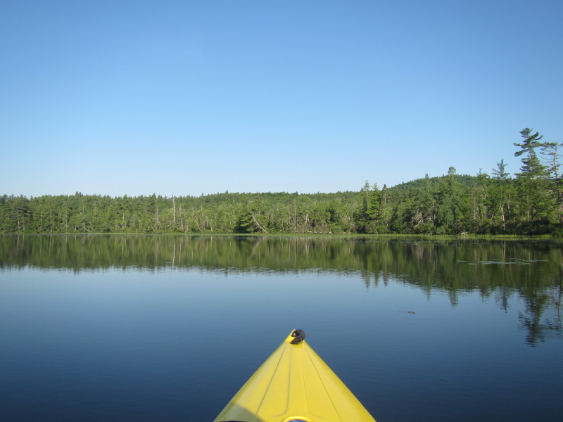
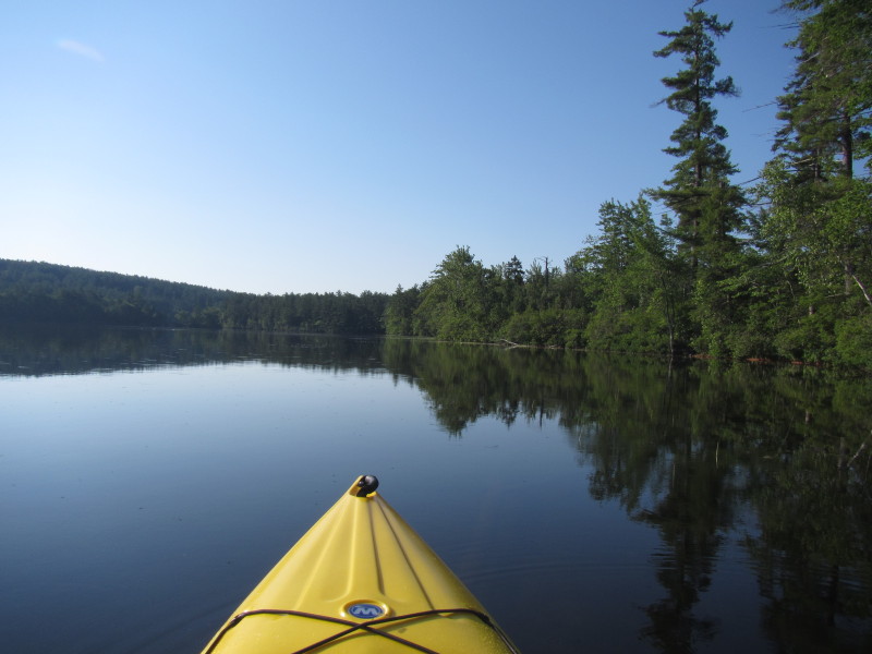
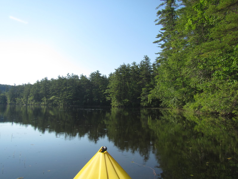
 Continuing northwards.
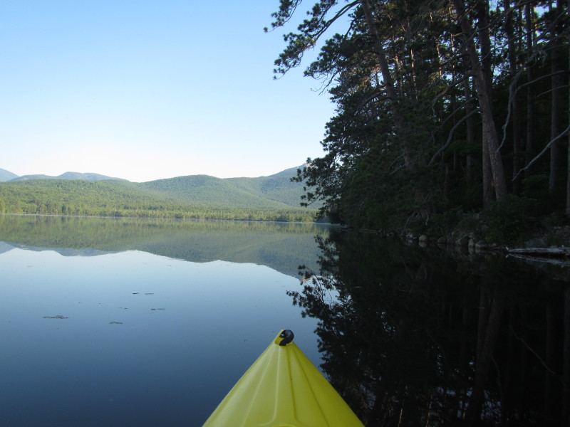
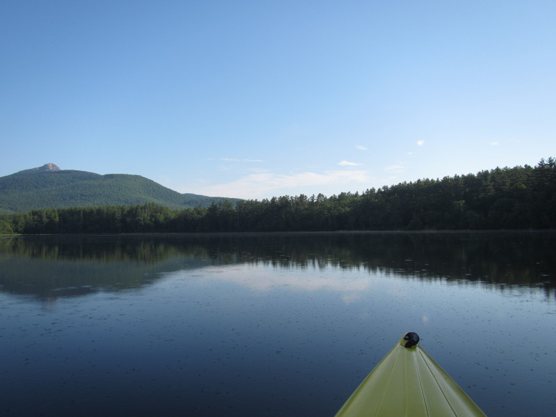
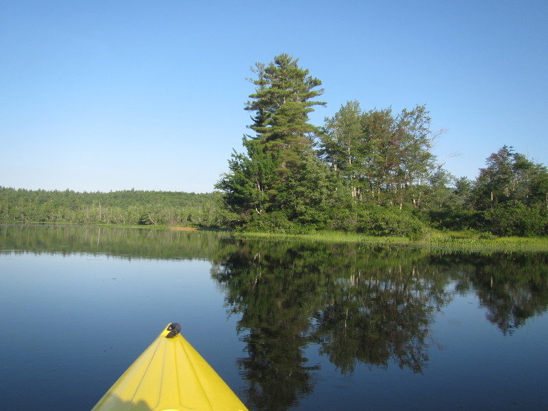
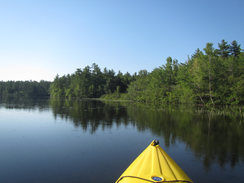
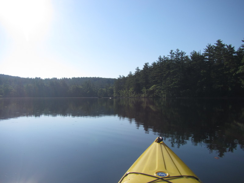
 Directly ahead is the northeast corner of Chocorua Lake.
 At the northeast corner of Chocorua Lake, veering to my left.
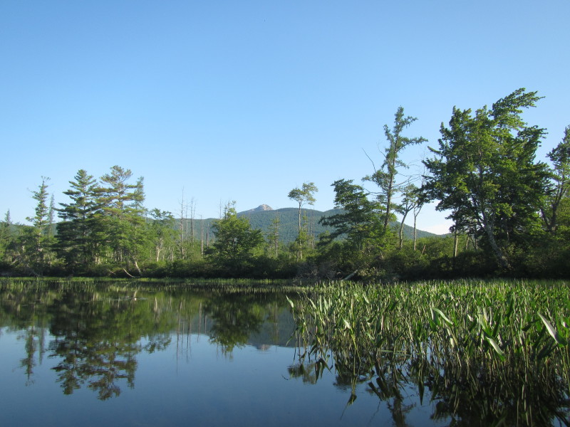 Now facing northwest, Mount Chocorua now on my right.
 In front of me is the northwest corner of Chocorua Lake.
 Veering left and continuing my counter-clockwise direction.
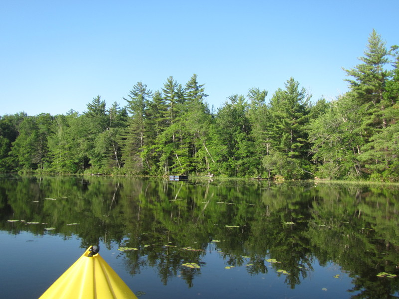
 Now facing southerly with the western coast of Chocorua Lake on my right.
 Loons on Chocorua Lake.
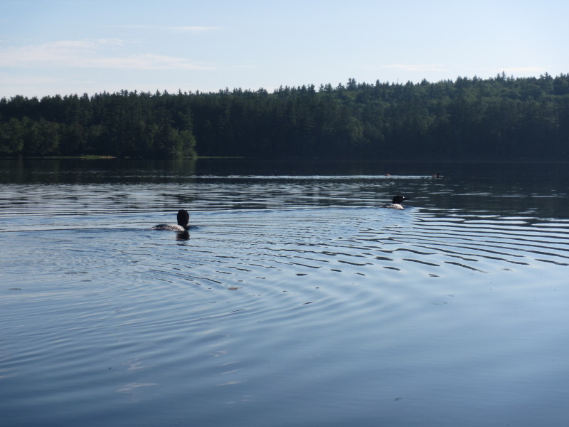 Loons.
 Approaching the southeast corner of Chocorua Lake.
 Veering left again.
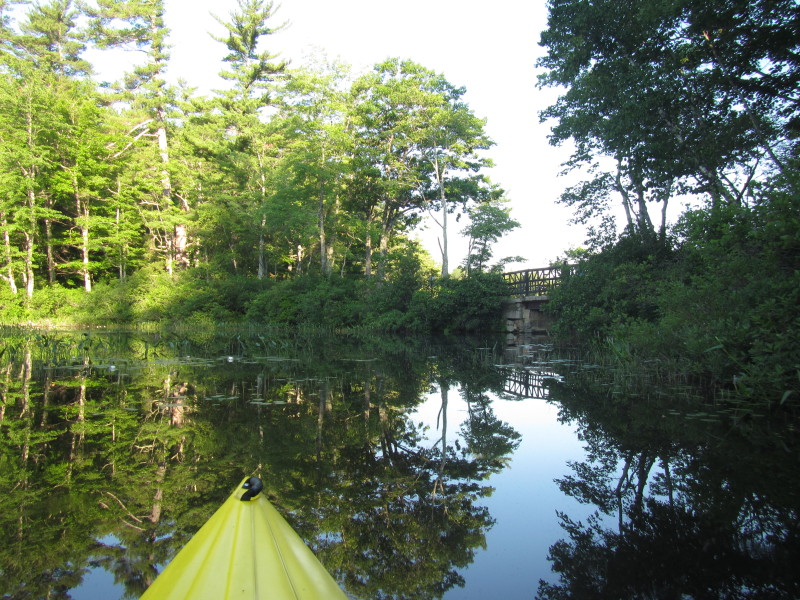
 Now approaching the one-lane bridge.
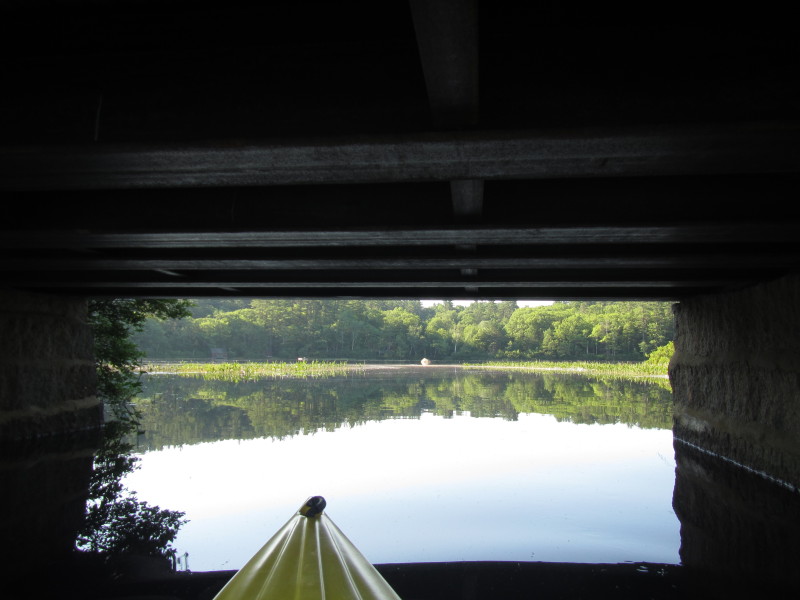 Passing under the bridge going south.
 Changed my mind as the put in spot I used earlier was muddy.
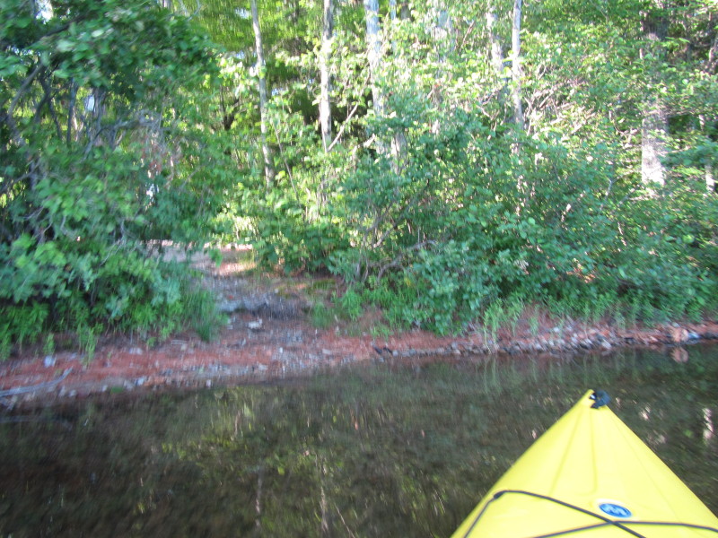 After passing under the bridge northwards, immediately to the left is this better landing spot.
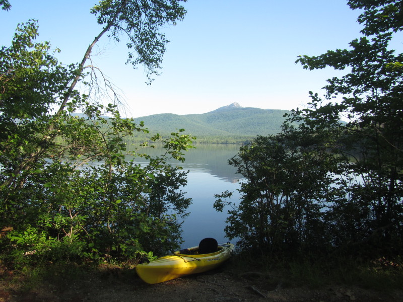 Landed. Total paddle time is 51 minutes.
|