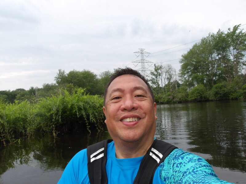
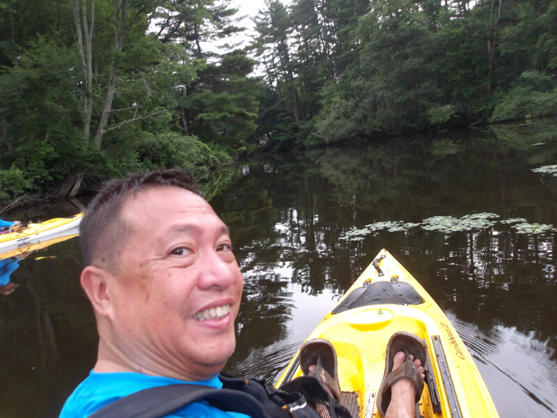
 Kayaker

|


|
Download printer-friendly
PDF version that fits in one page: |

|
|
Other resources:
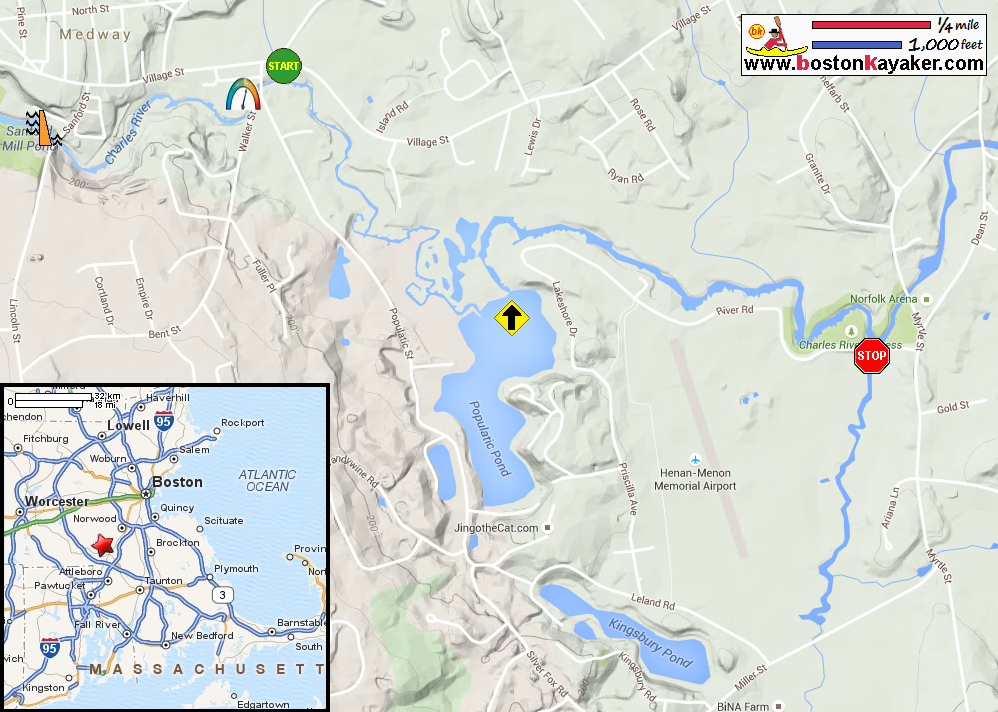
USGS: Charles River Gauge in Medway MA Charles River Watershed Association All photos in this website are original and copyrighted. 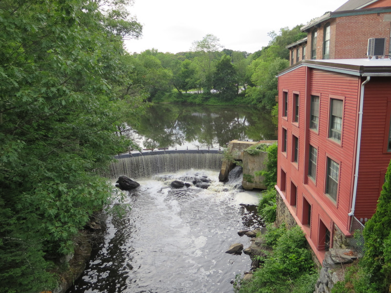 The Charles River's Sanford Mill Dam on Sanford Street in Medway MA.
Trip date is June 2015. 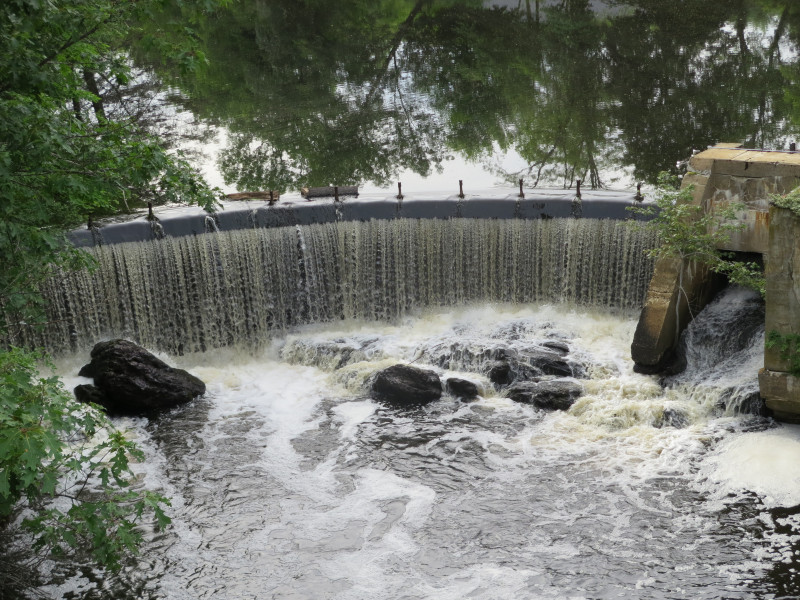 Sanford Mill Dam
 Sanford Mill building. Now converted to condos.
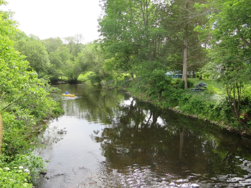
Access to Charles River above the Sanford Mill Dam seems to be for the residents of this condos only. :( 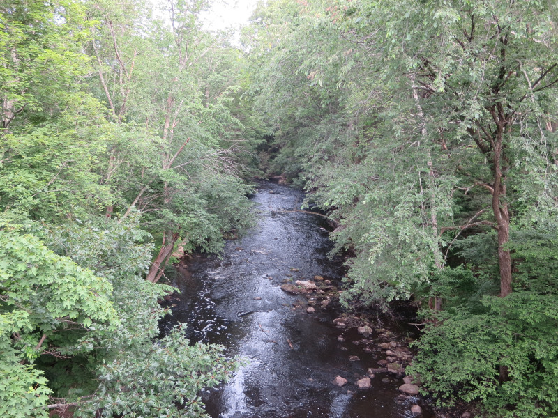 Charles River below Sanford Mill Dam viewed from the Sanford Street bridge in Medway MA.
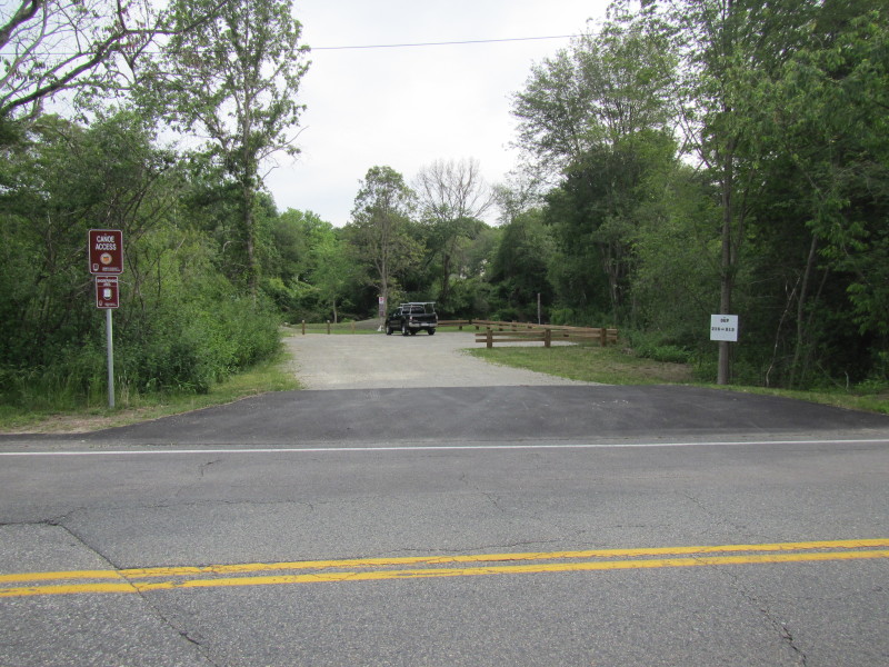 At Bresnahan's Landing on Village Street in Medway MA near the Walker Street intersection.
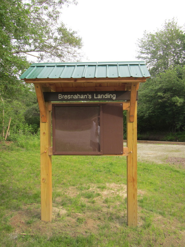
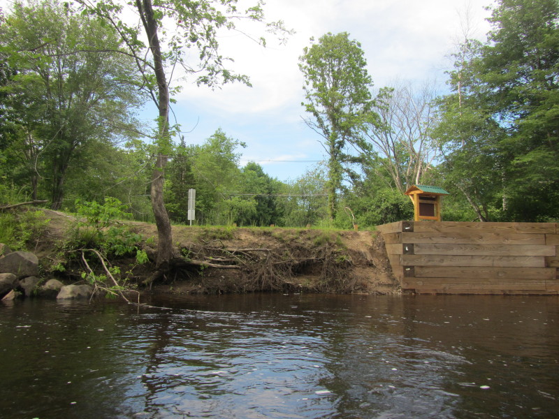
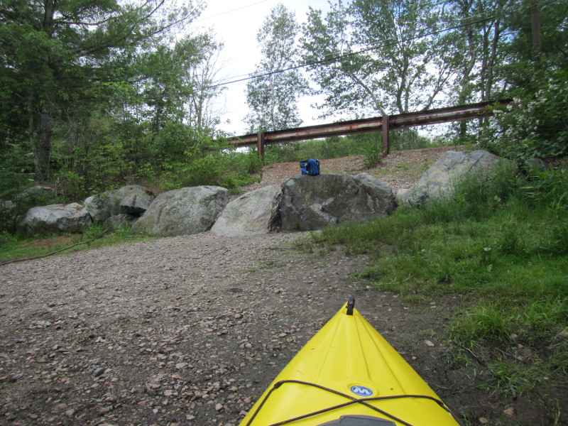
The empty information kiosk at Bresnahan's Landing. All indications are that this landing is brand new or just very recently constructed . . . I only became aware of this landing during my trip after putting in at Walker Street. 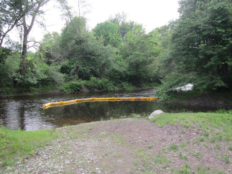 The put in to Charles River at Bresnahan's Landing.
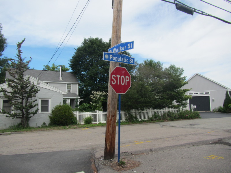 Just some 200 feet upriver from Bresnahan's Landing is Walker Street where I actually started,
unaware of the existence of Bresnahans' Landing. 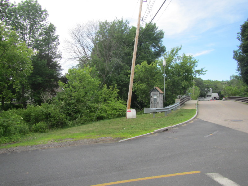 The Walker Street bridge over the Charles River in Medway MA.
The USGS Charles River gauge is at the center of the picture.
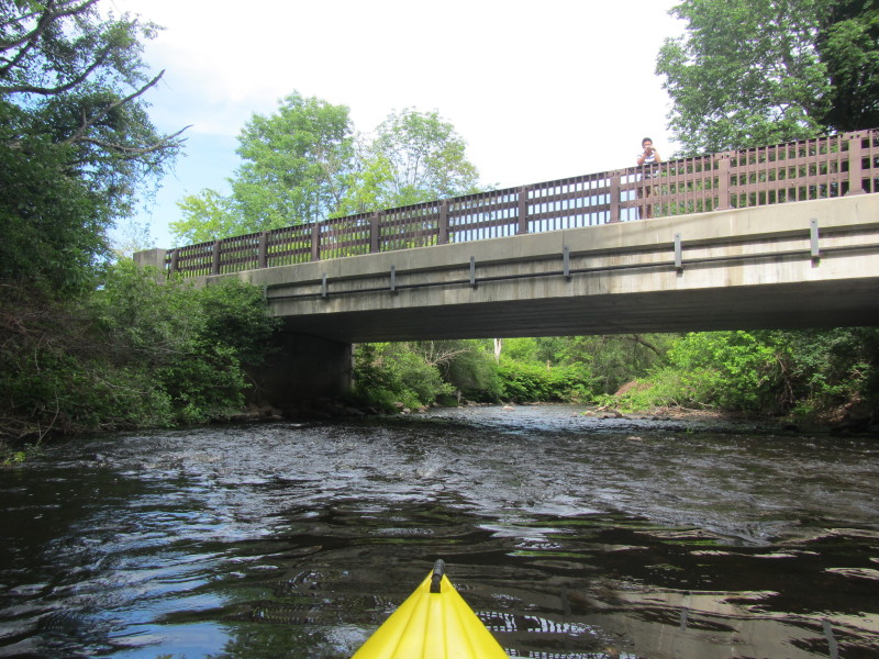
The Walker Street bridge over the Charles River in Medway MA.
The USGS Charles River gauge is at the center of the picture.
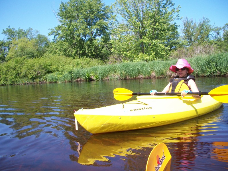
I checked later the gauge readings during my kayak trip: Discharge = 45 cubic feet per second and Height = 1 foot 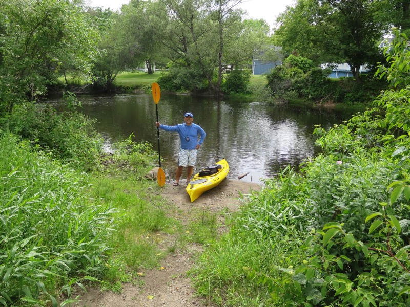 The Boston Kayaker at the Charles River informal put in at Walker Street in Medway MA.
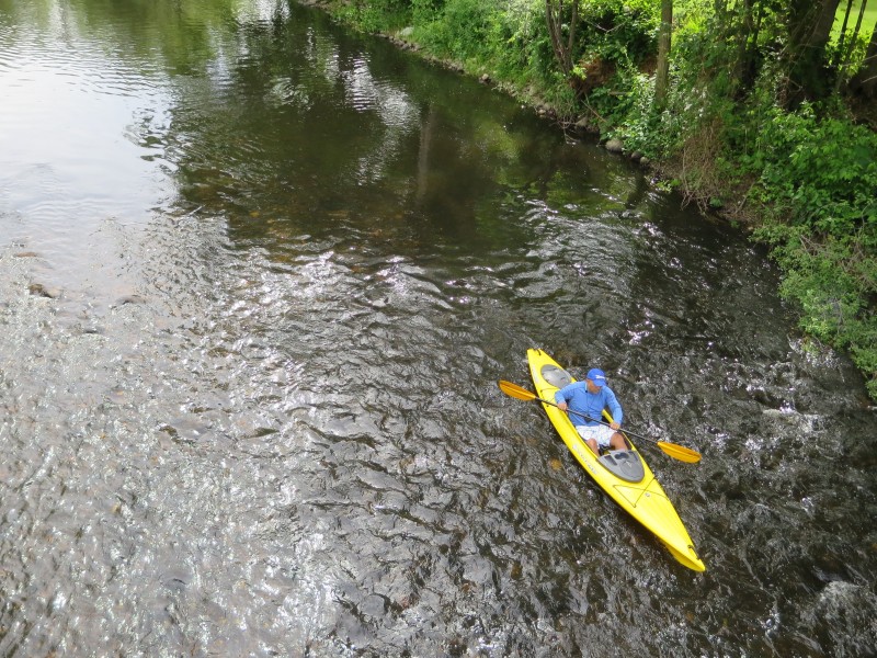
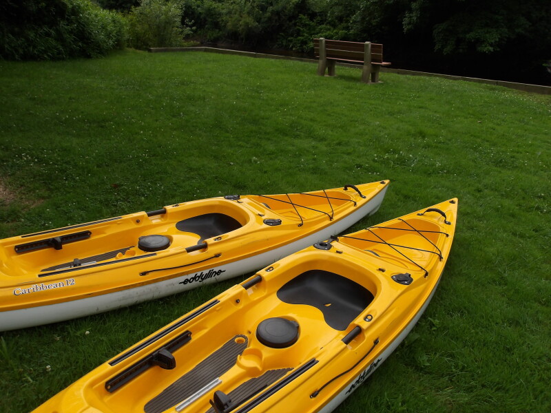
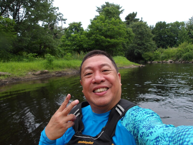
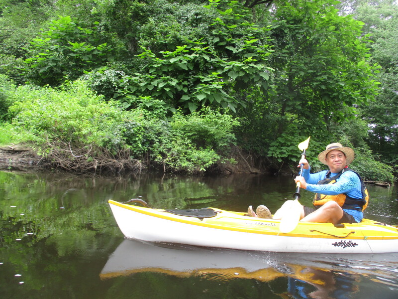
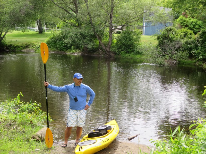
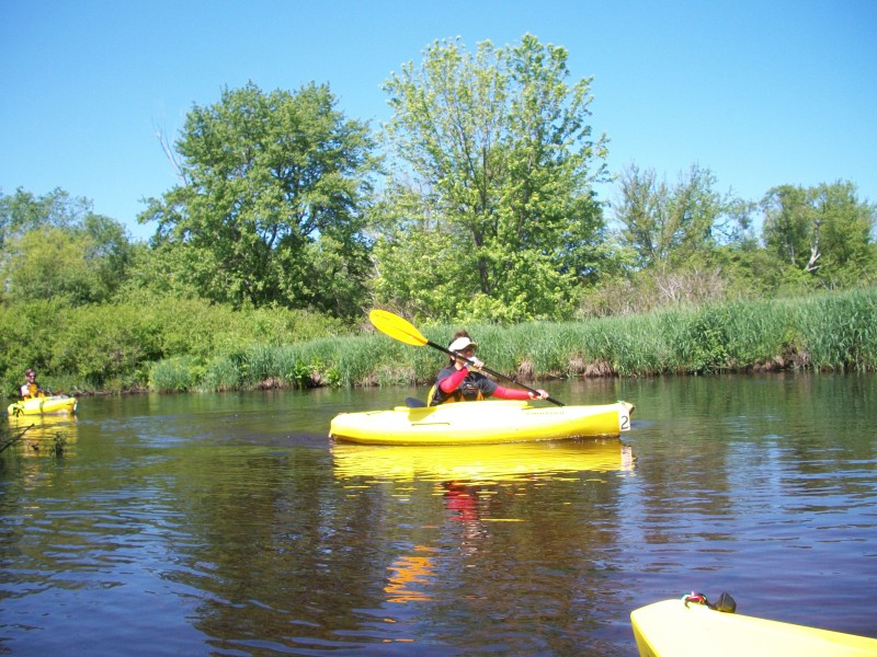
 The Boston Kayaker just launched into Charles River at Walker Street in Medway MA.
 The Boston Kayaker's son taking pictures at the Walker Street bridge.
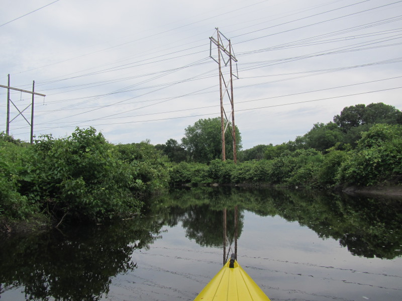
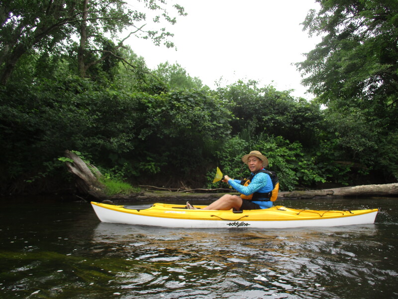
 Charles River under Walker Street bridge is shallow and rocky.
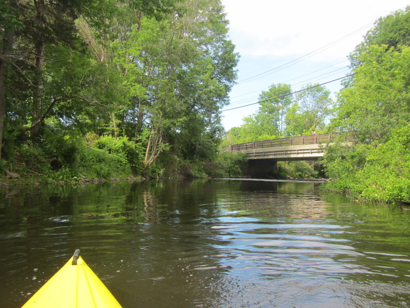
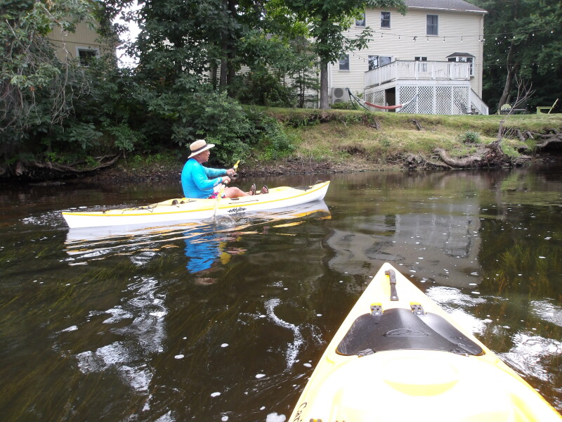
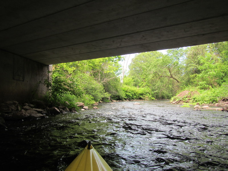 Now under the Walker Street bridge.
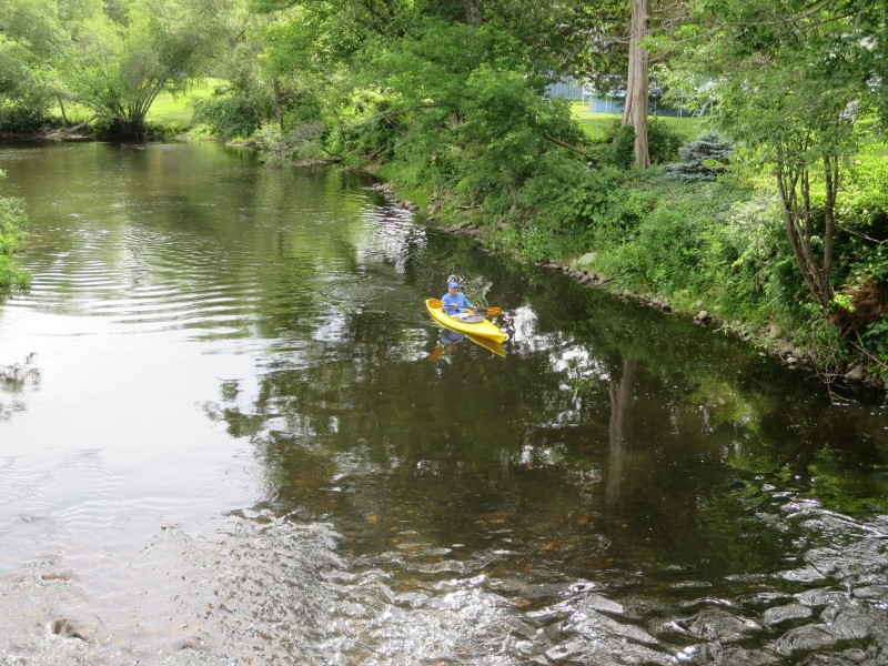
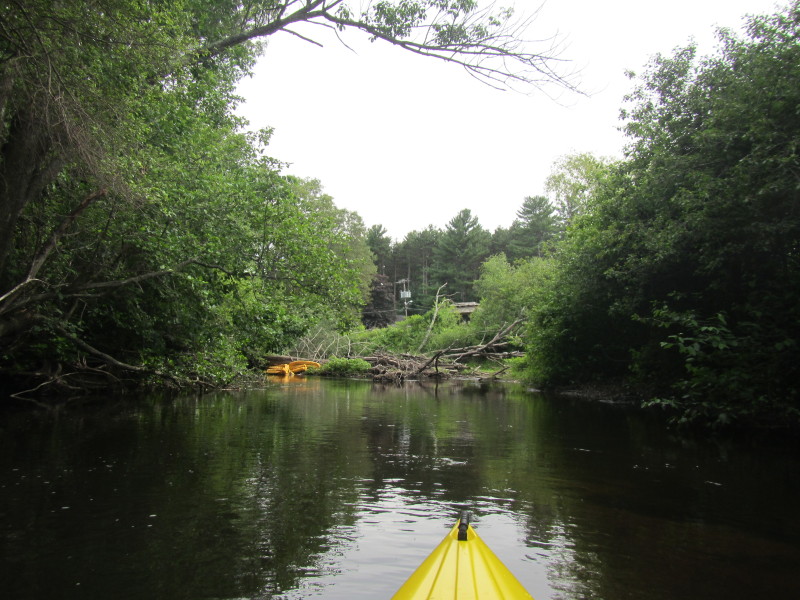
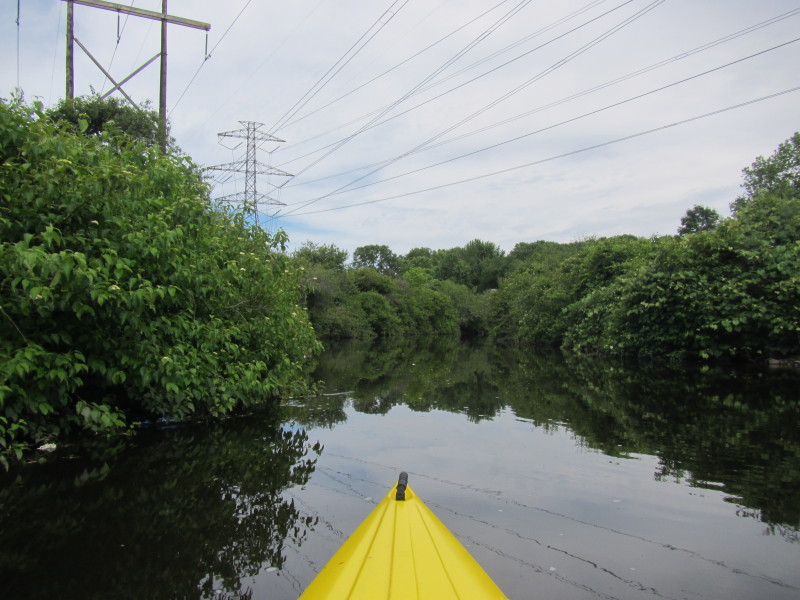
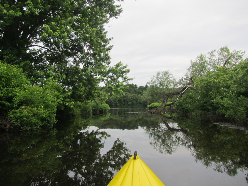
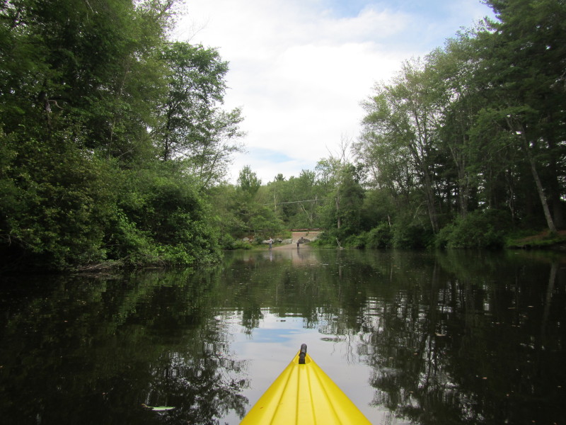
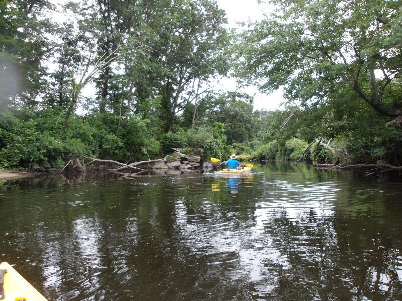
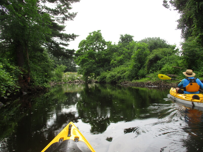
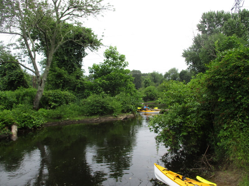
 Soon after going past the bridge, the Bresnahan's Landing can be seen on river left.
 Approaching Bresnahan's Landing.
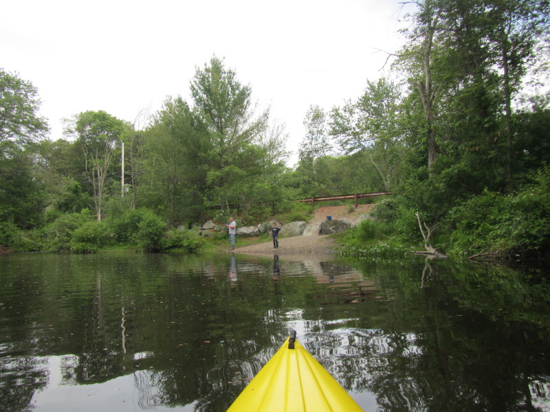
 Bresnahan's Landing seen from the water.
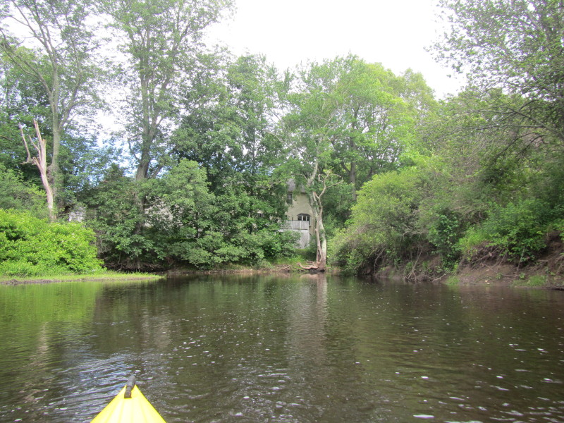
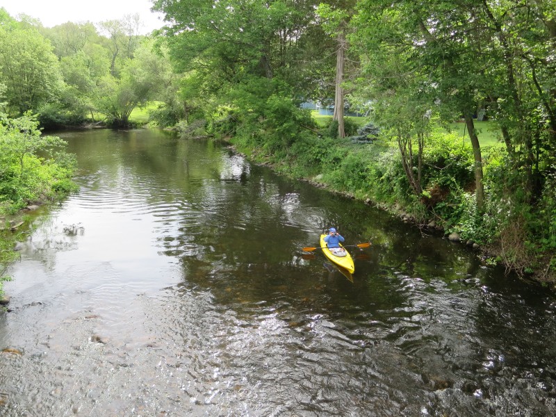
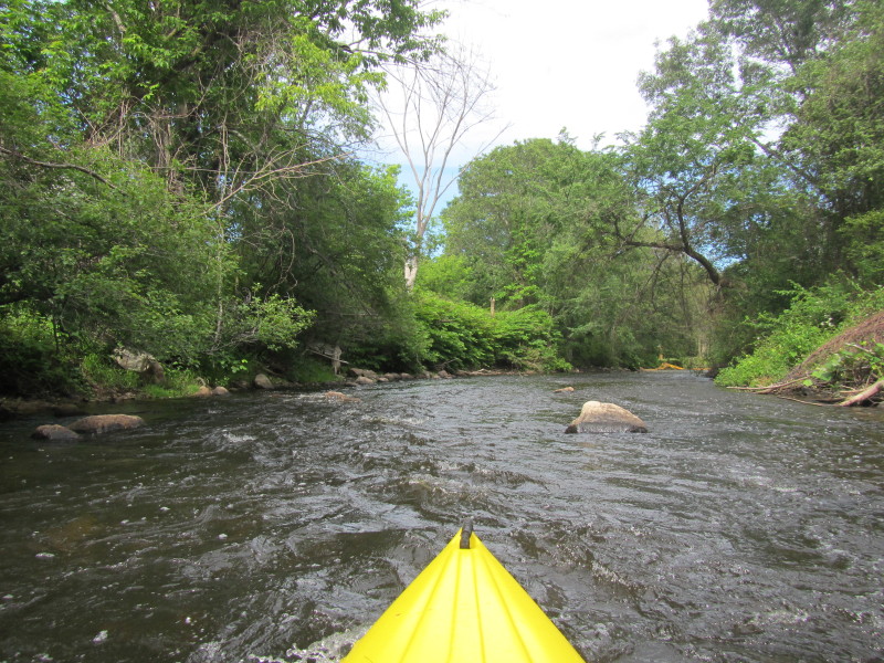
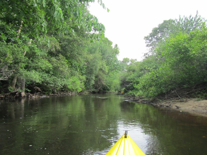
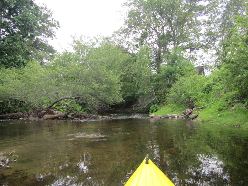
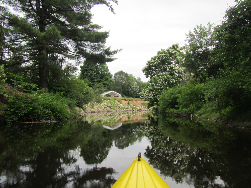
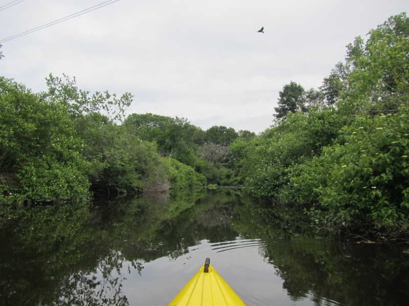
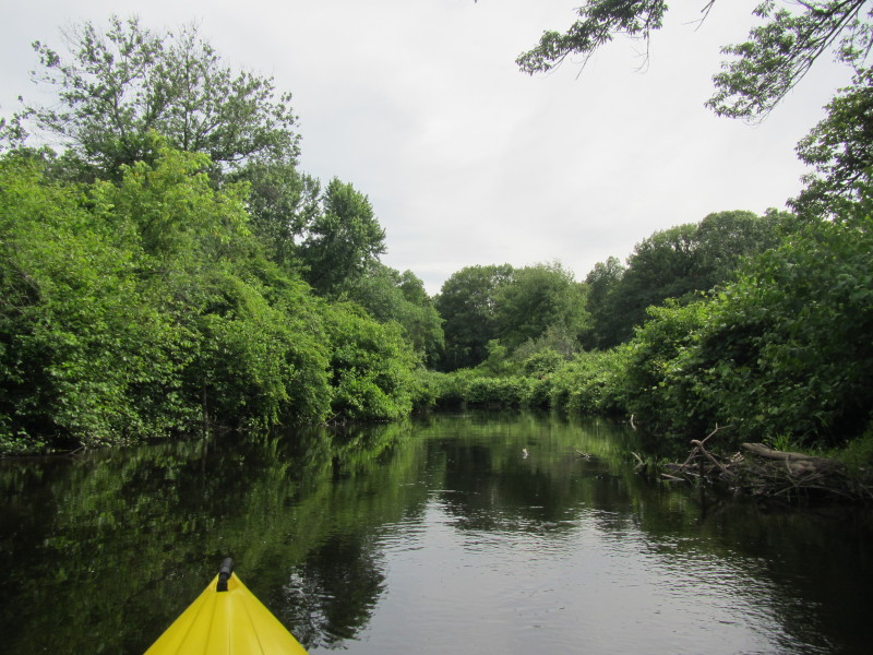
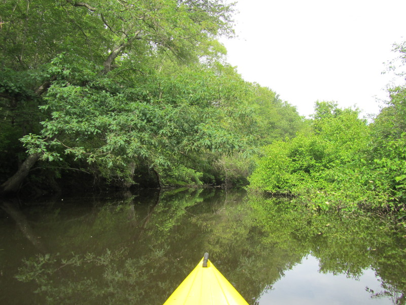
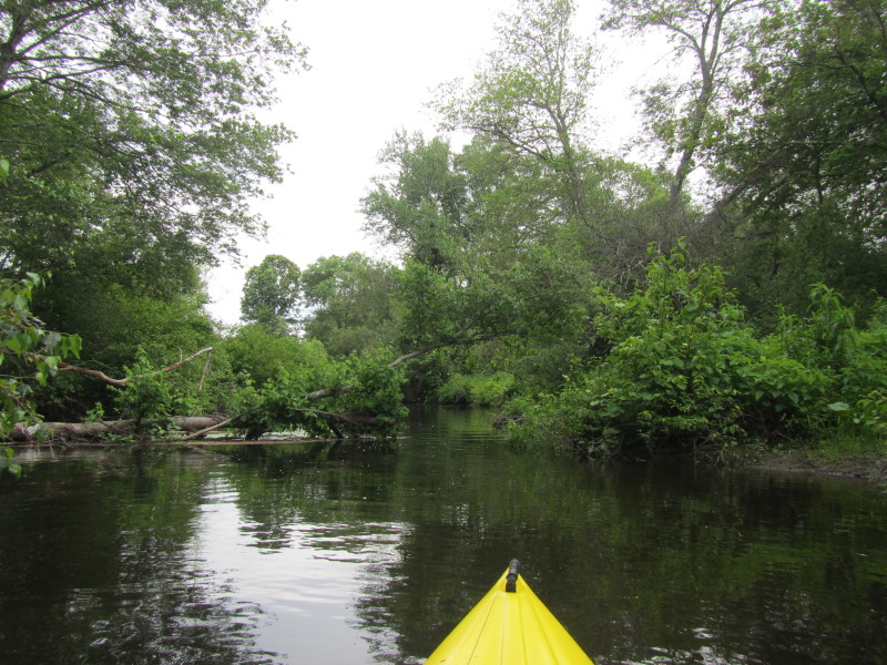
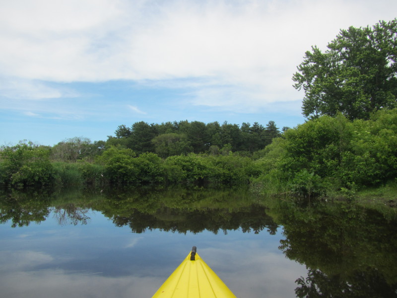
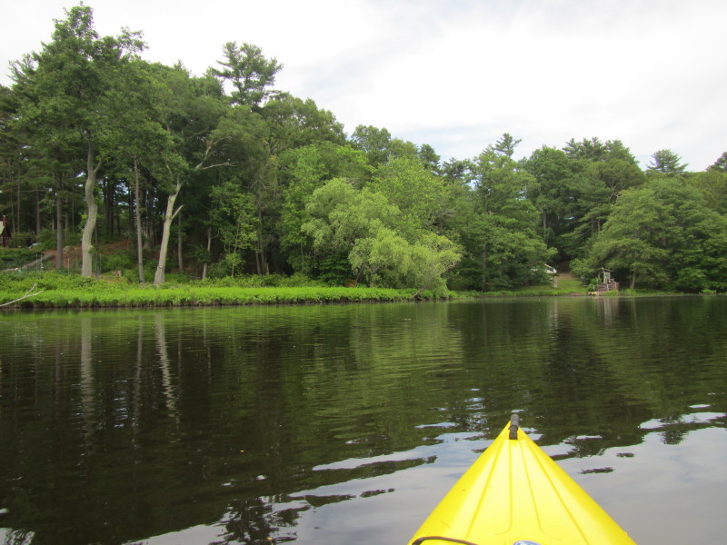
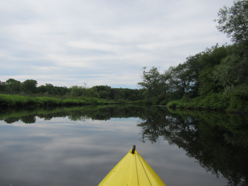
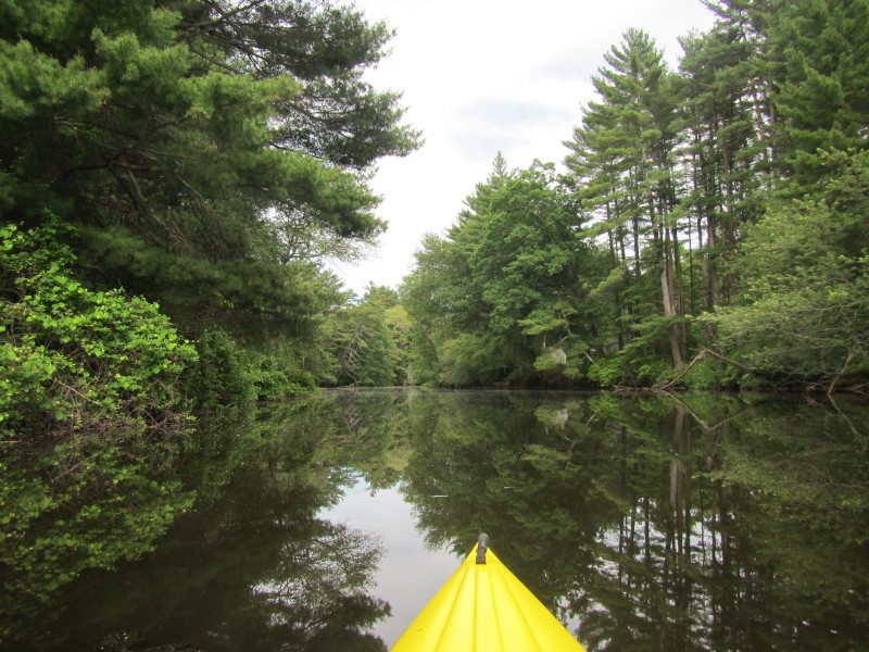
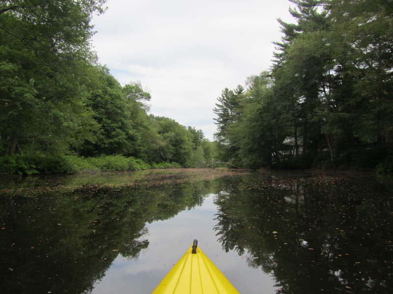
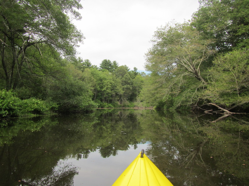
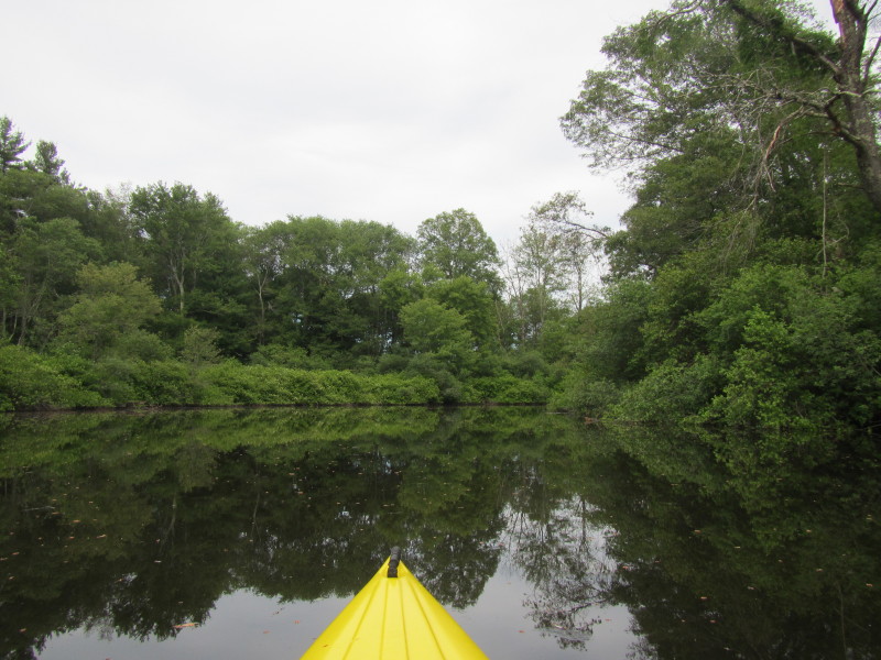
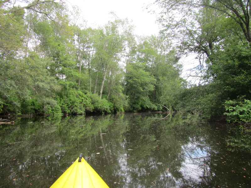
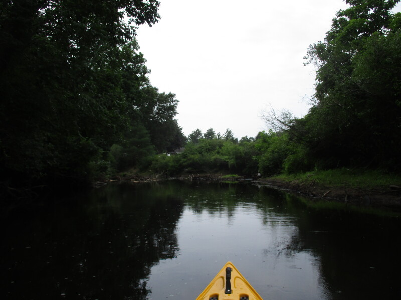
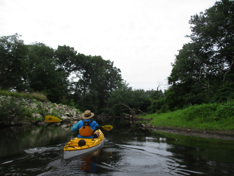
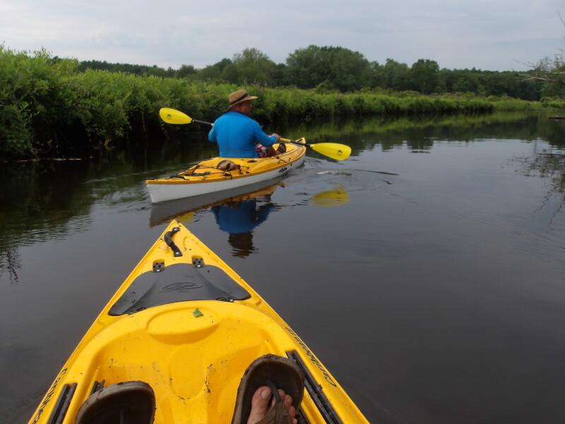
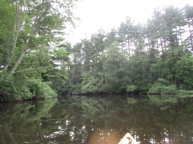
 Charles River bending to the right . . .
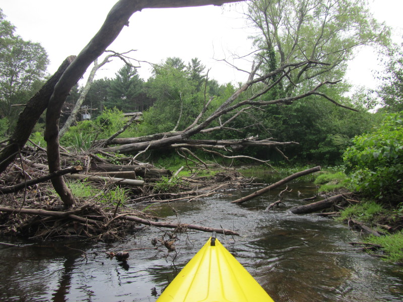
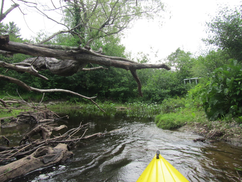
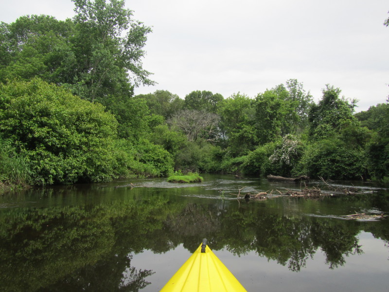
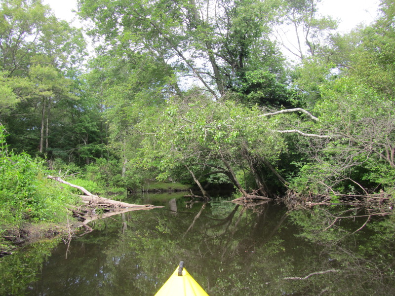
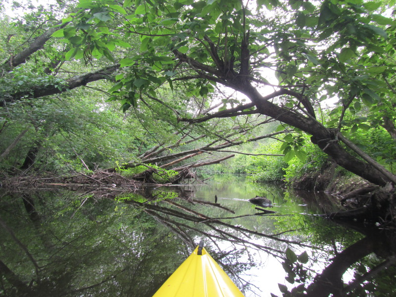
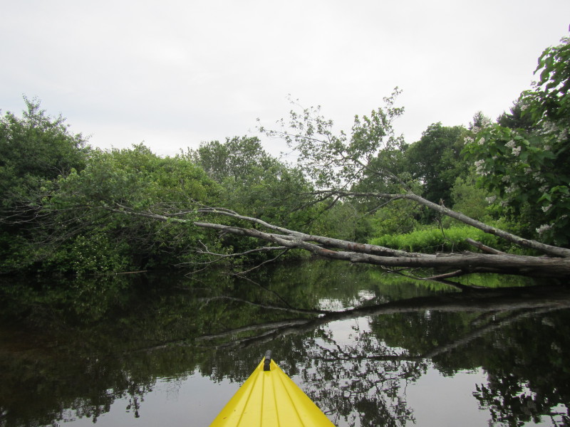
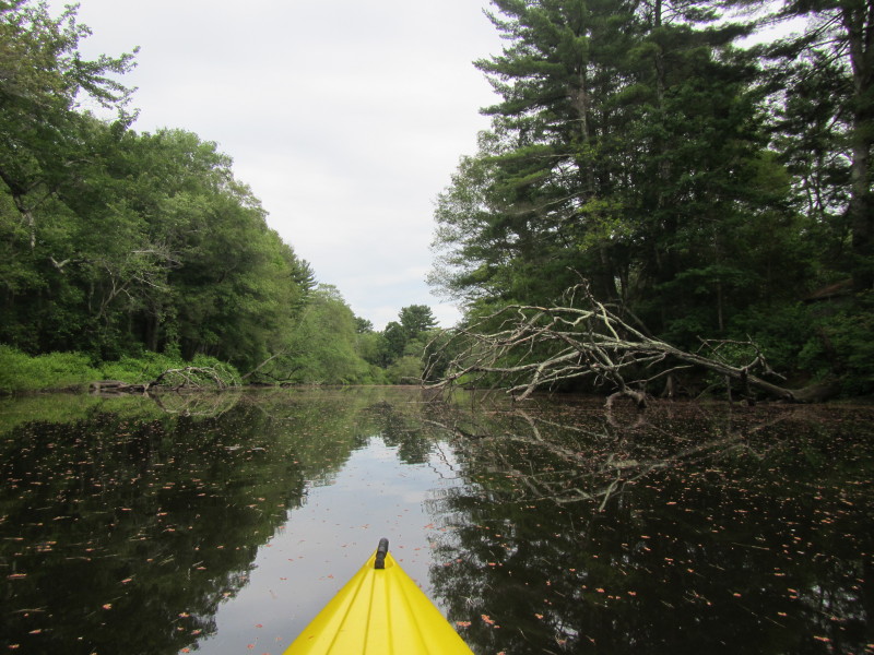
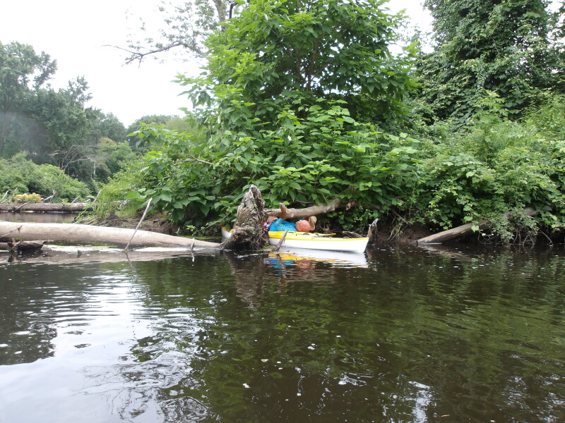
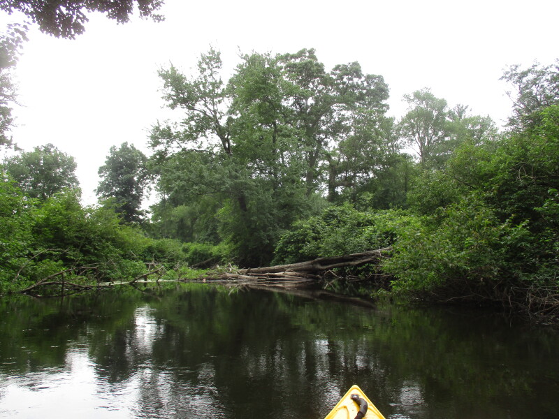
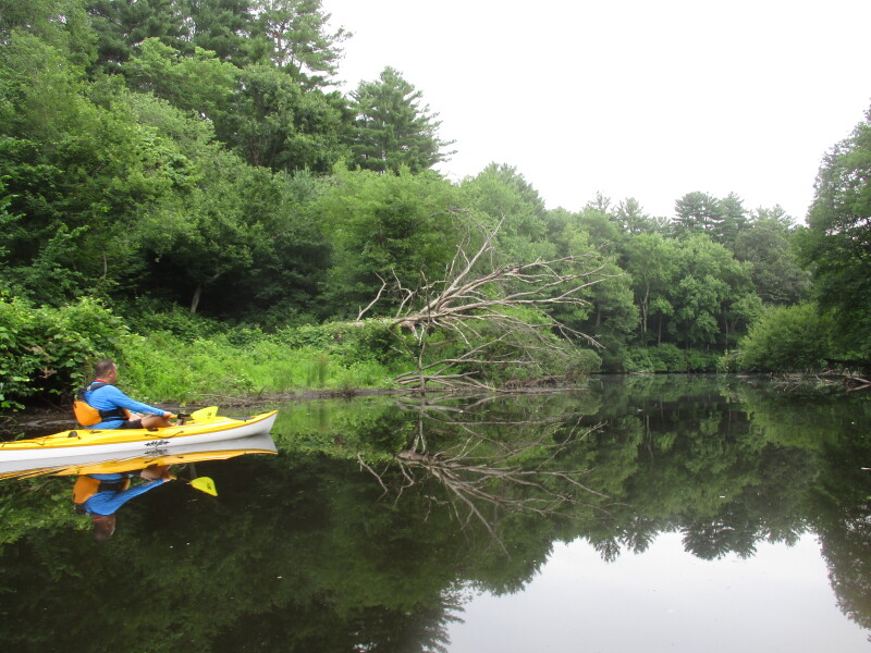
 About 5 minutes into this kayak route are downed trees.
 Took the right side and will slide over.
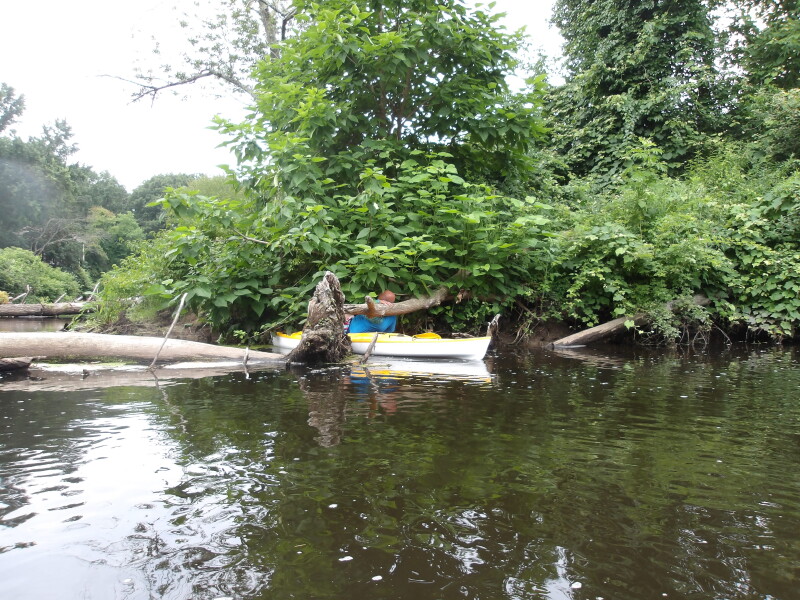
 Half-way thru sliding over the trees.
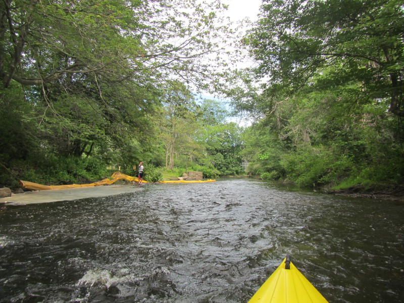
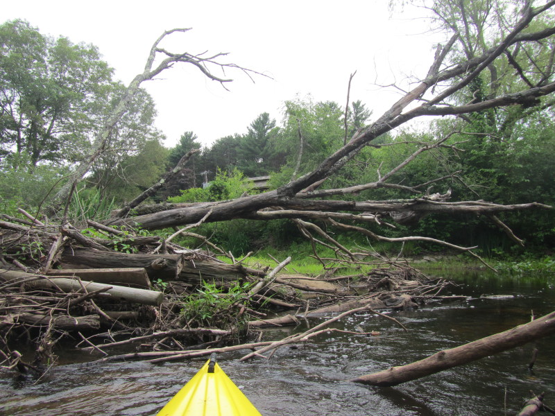
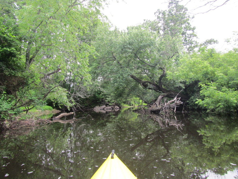
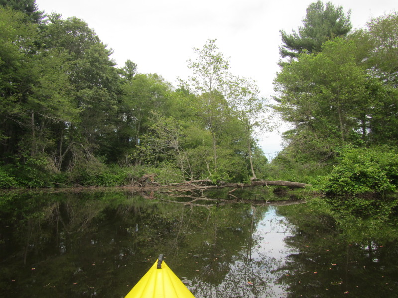
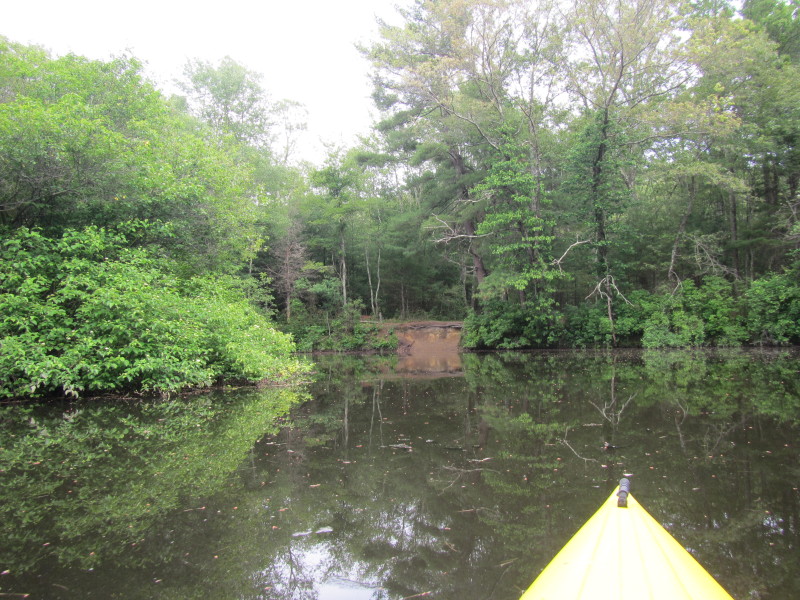
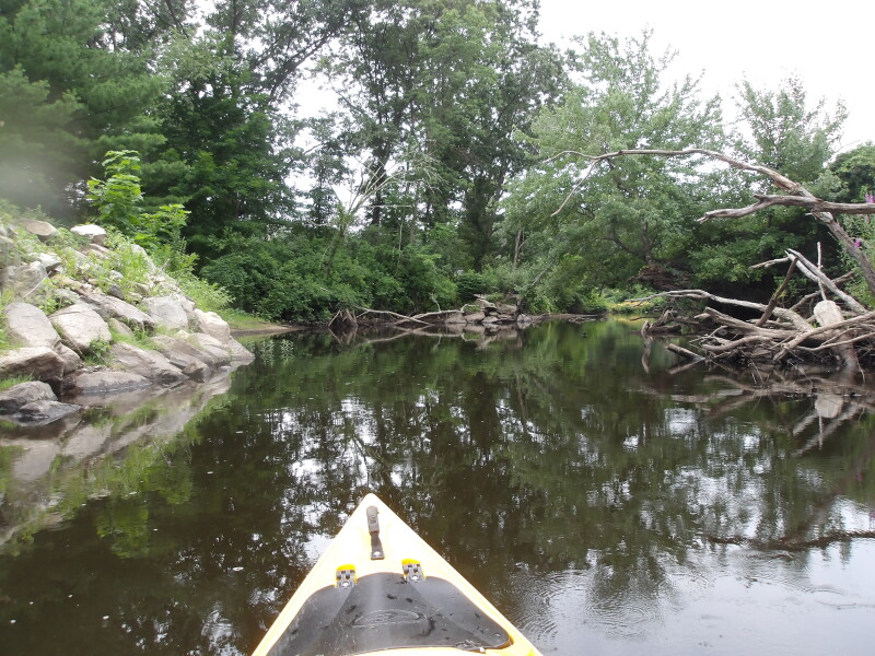
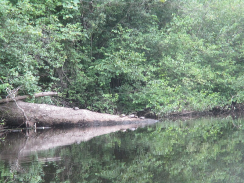
 After the downed tree is what appears to be a breached dam!?
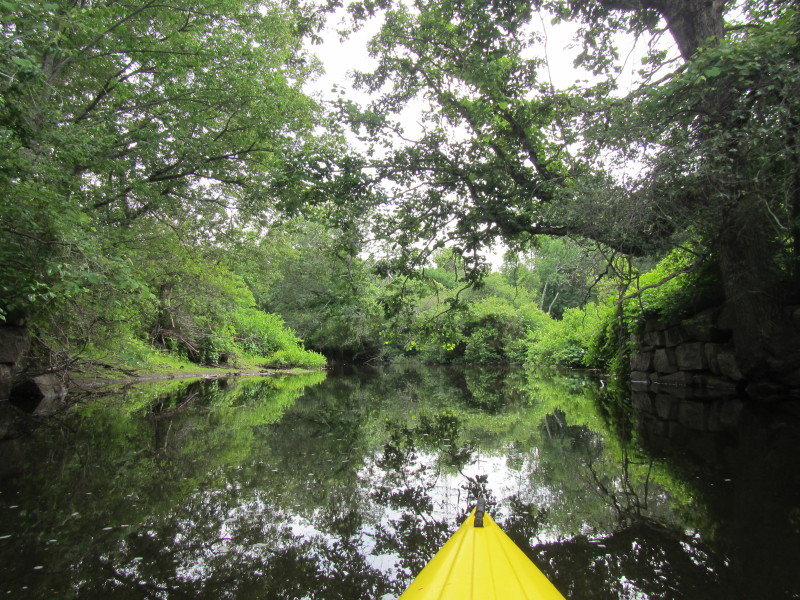
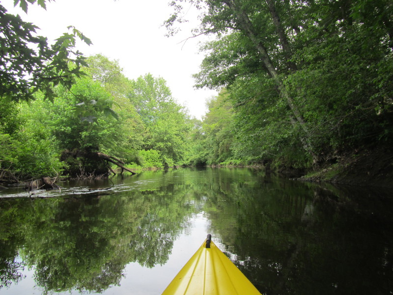
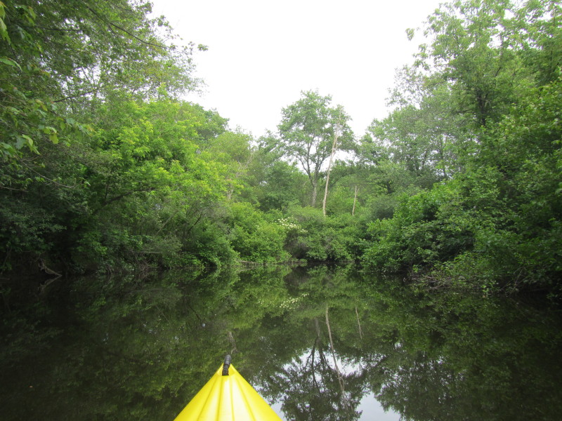
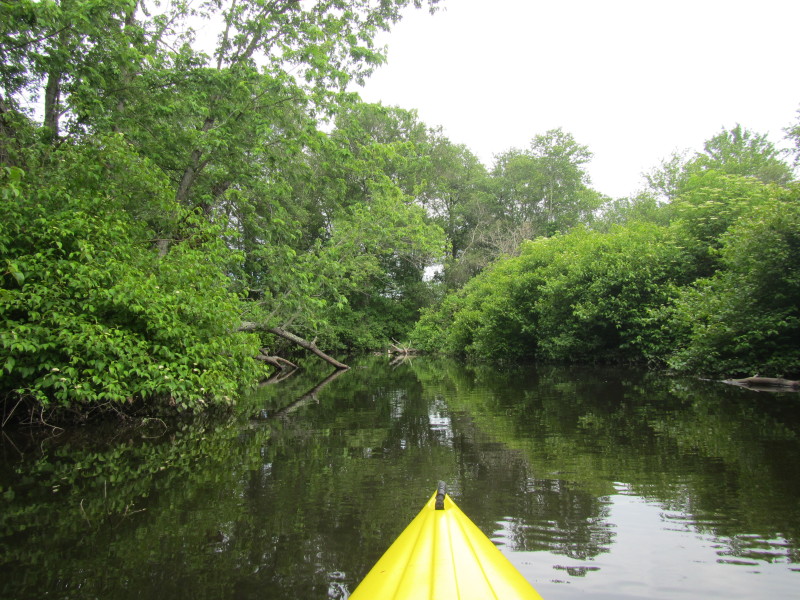
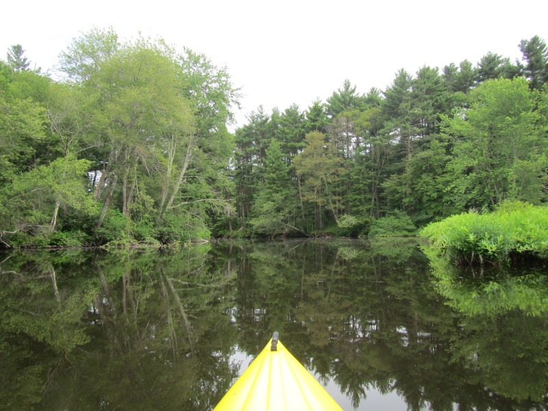
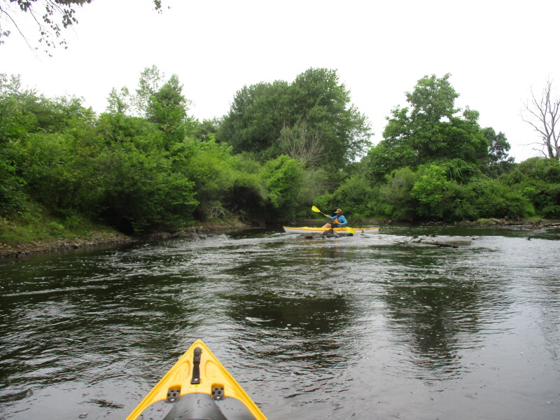
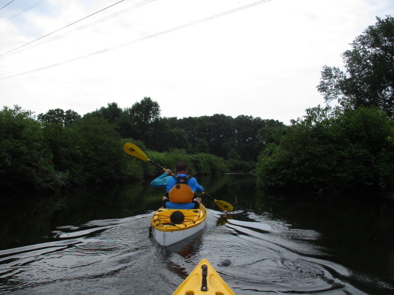
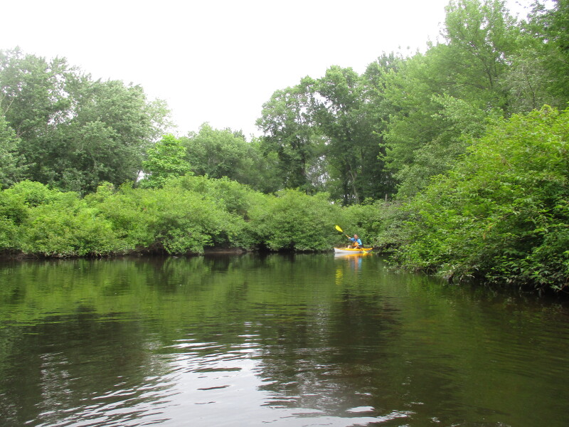
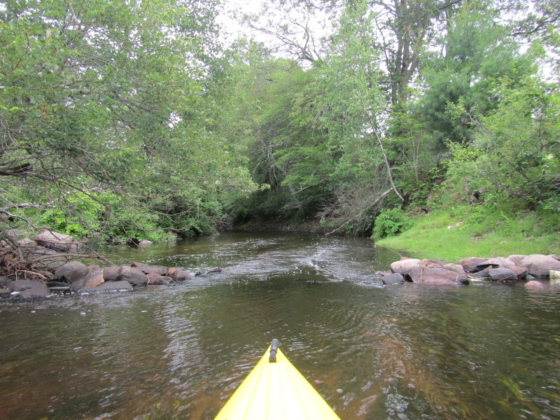 Enjoying the ride . . .

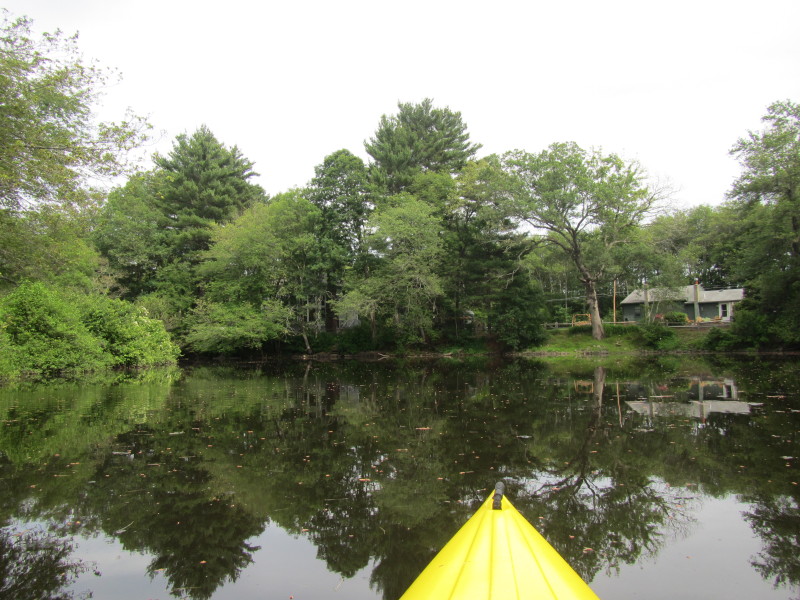
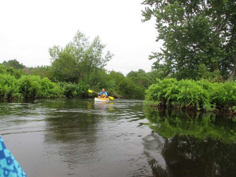
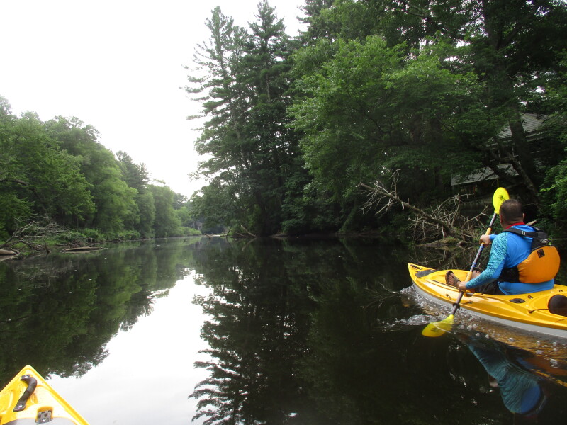
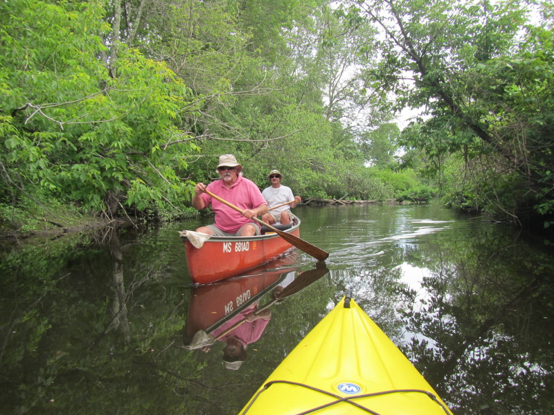 Two guys on a canoe on Charles River.
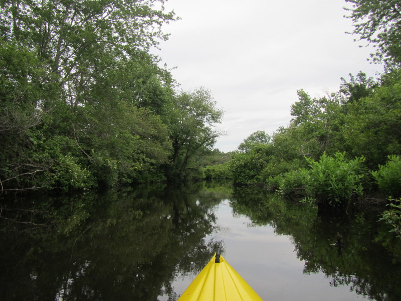
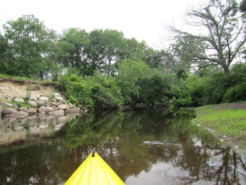
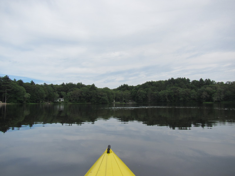
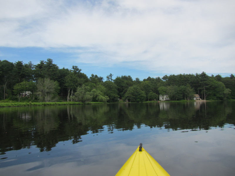
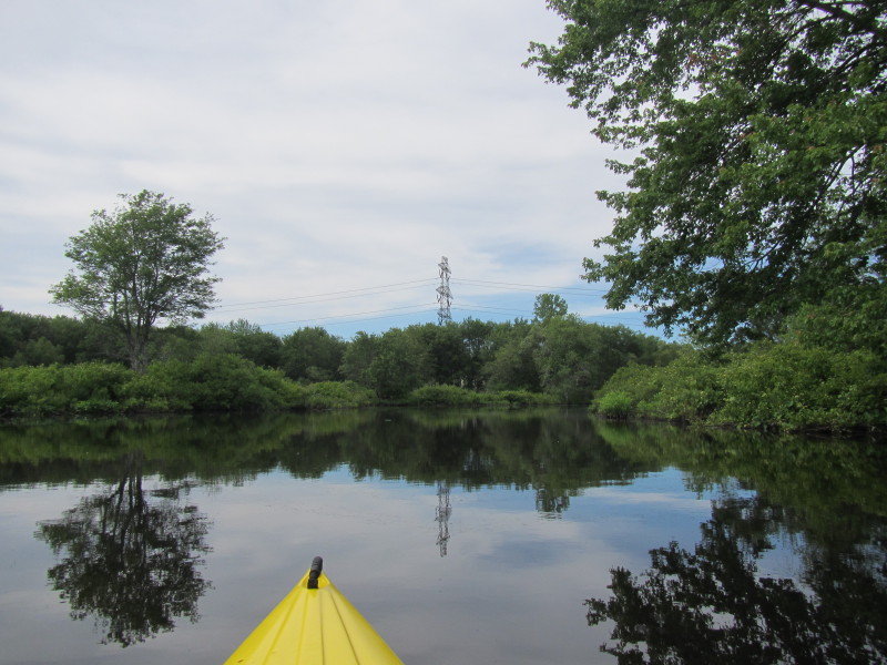
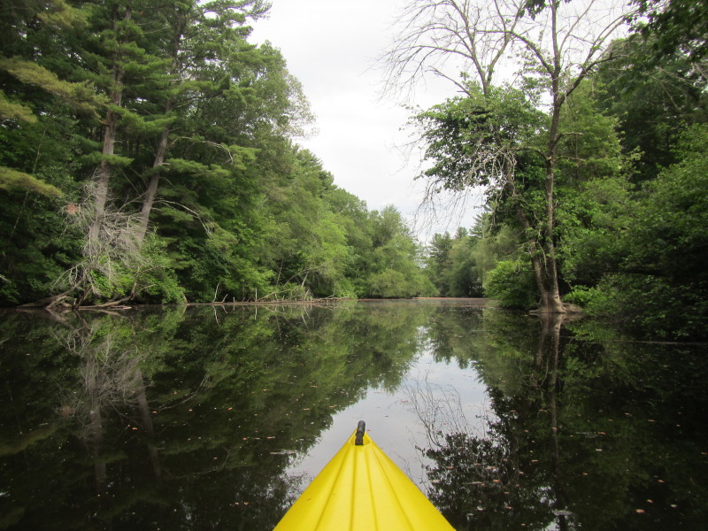
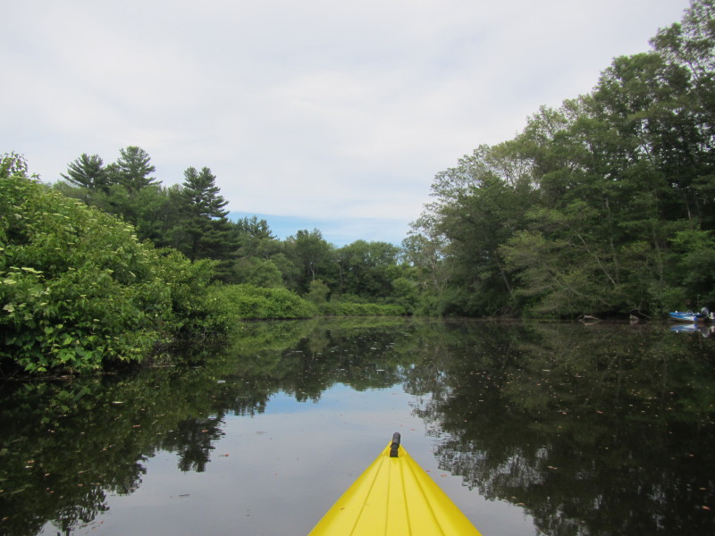
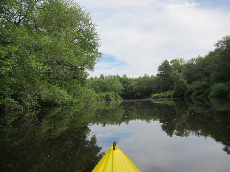
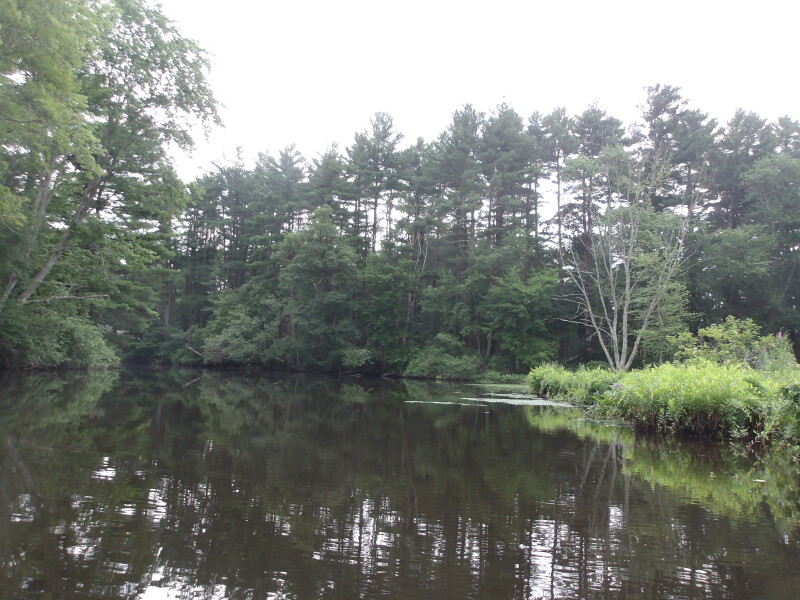
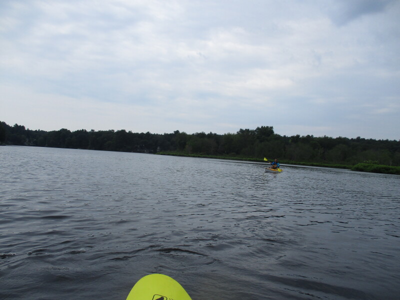
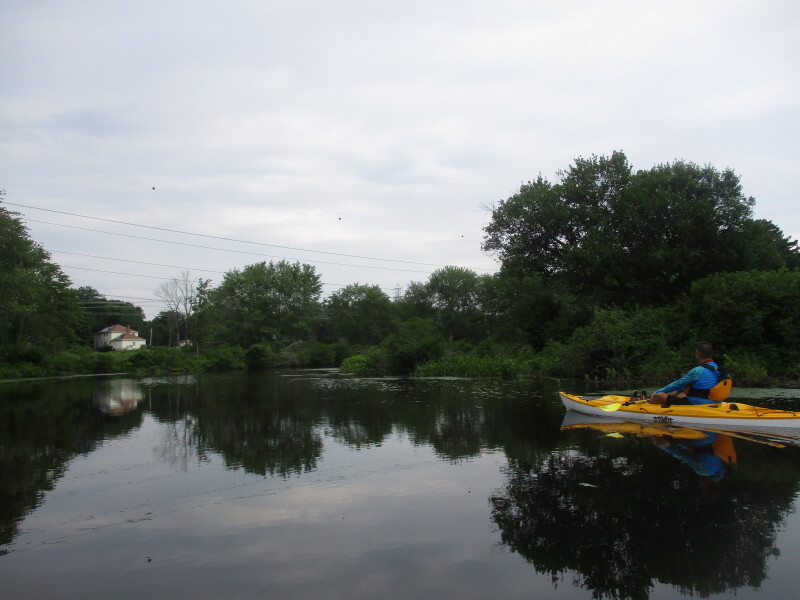
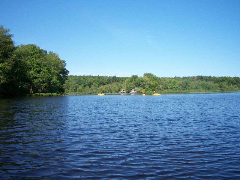
 I can see Populatic Pond.
 Just got into Populatic Pond.
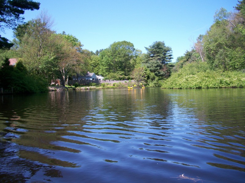
At the center of the picture (far) is the launch to Populatic Pond. 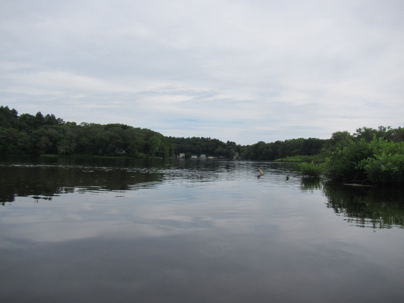 Looking to my right, the south end of Populatic Pond.
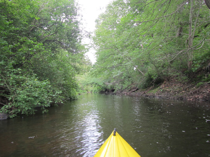
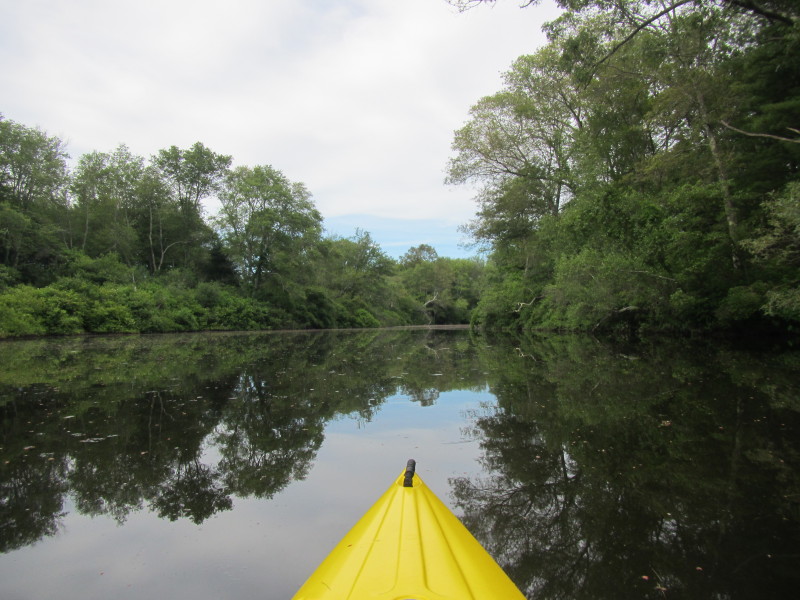
 Veering left, will follow the shore on my left.
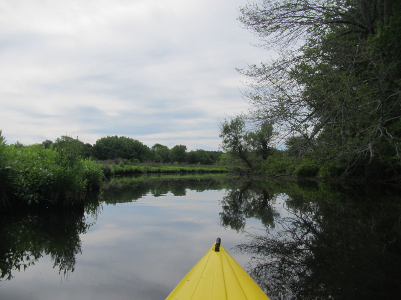
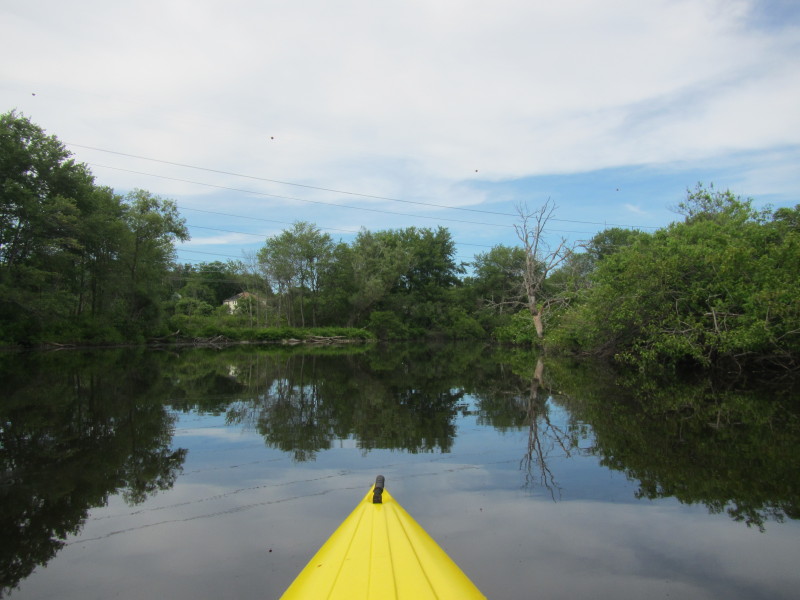
 On left is the outlet of Populatic Pond and the continuation of Charles River.
 Now into the Populatic Pond outlet.
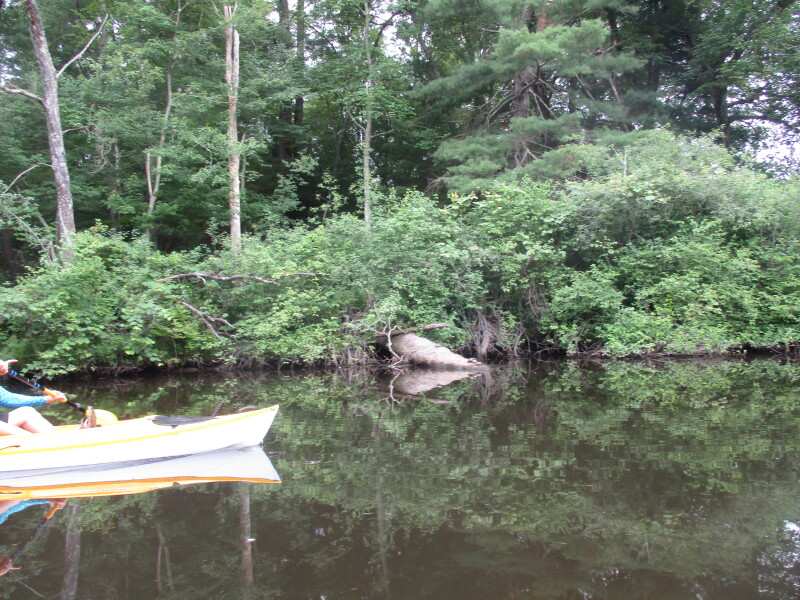
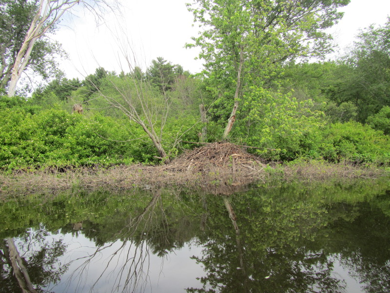 A beaver lodge on Charles River in Norfolk MA.
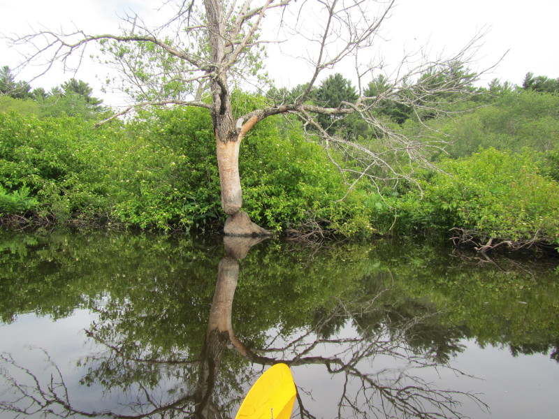
 A tree that the beavers have been trying to fell.

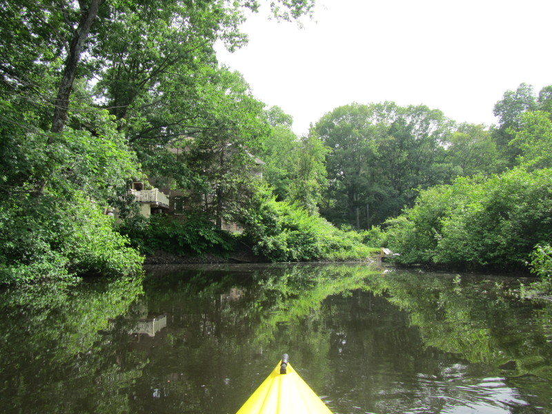
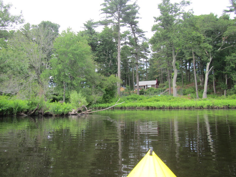
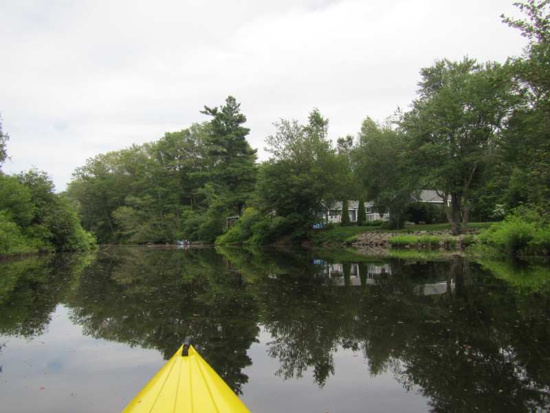
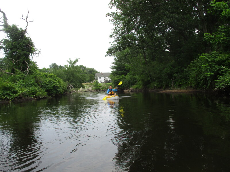
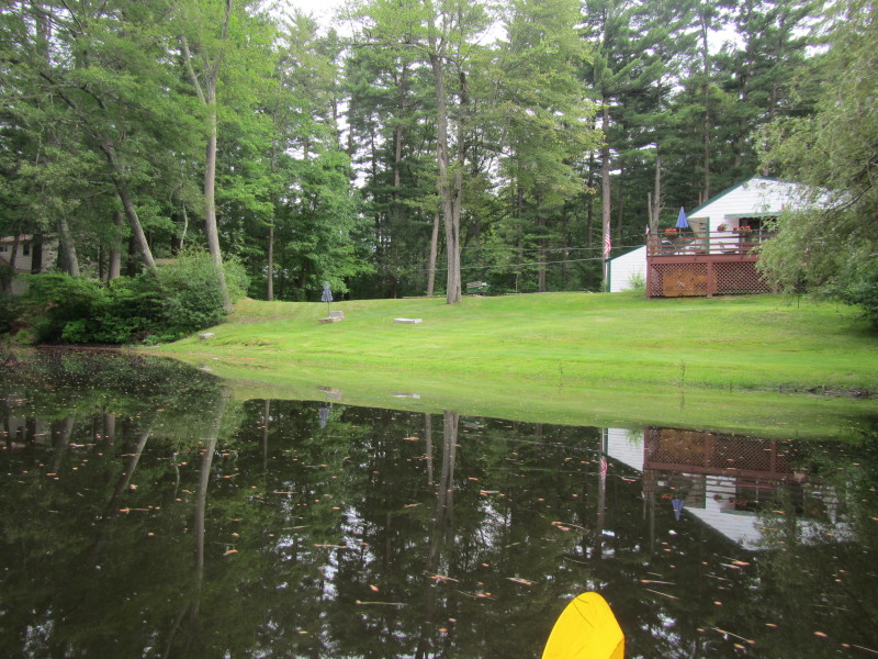 Nice river front green lawn.
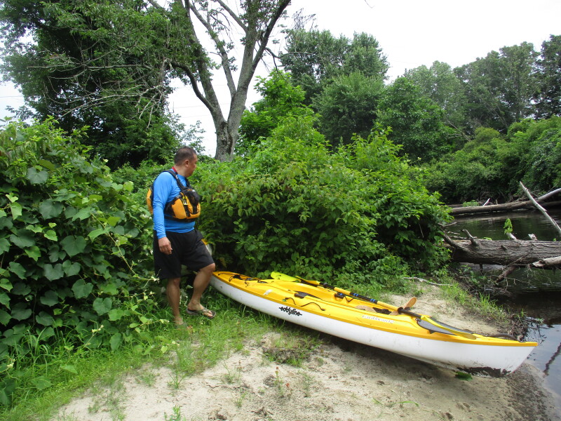
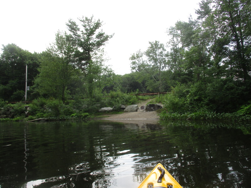
 A small beach and the road railing marks the take out at River Road.
 Landed on the River Road takeout in Norfolk MA.
Total paddle time is 46 minutes. 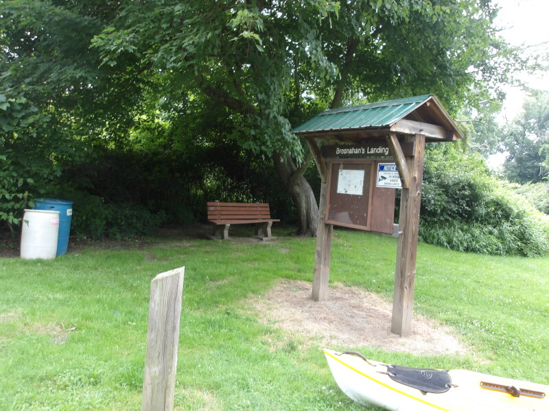

 The picture above and the rest below were taken from a previous trip in June 2011.
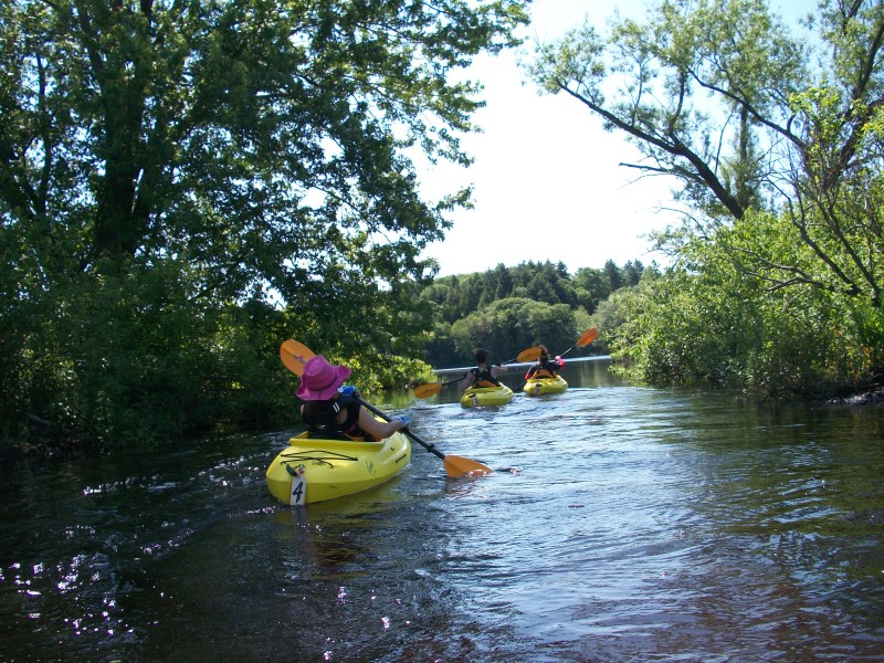
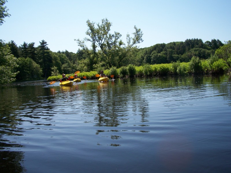
At Populatic Pond with my wife, daughter, and daughter's friend. 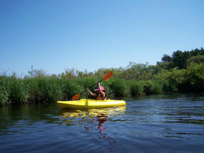
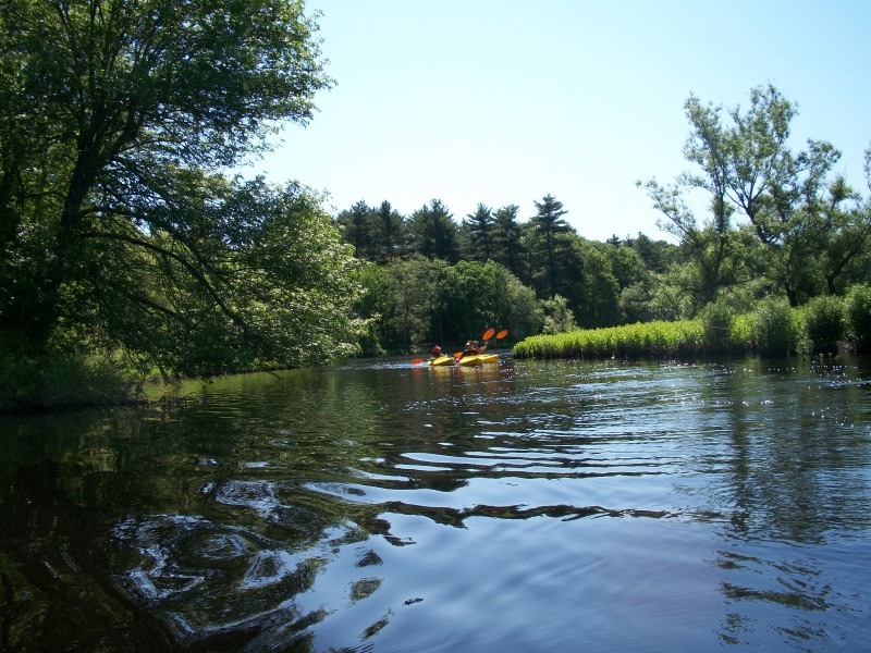
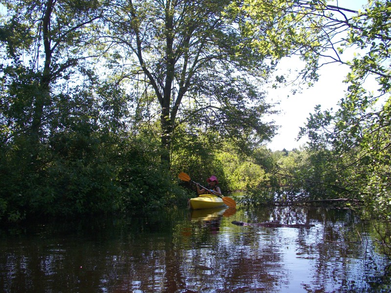 From the Populatic Pond, we paddled to the Charles River inlet.
Doing this for the first time is like finding a hidden passage way to a secret world (of kayaking) . . . :) 
 The Boston Kayaker's wife.
 The Boston Kayaker's daughter.
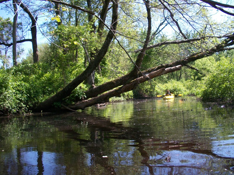
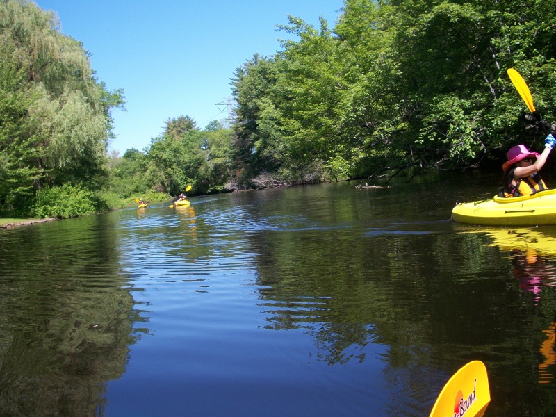
 From the inlet heading back to Populatic Pond.
 From the pond, we continued to the Charles River outlet.
 We finished at the River Road beach as shown in this map (not pictured).
|