 Kayaker

|


|
Download printer-friendly
PDF version that fits in one page: |

|
|
Other resources:
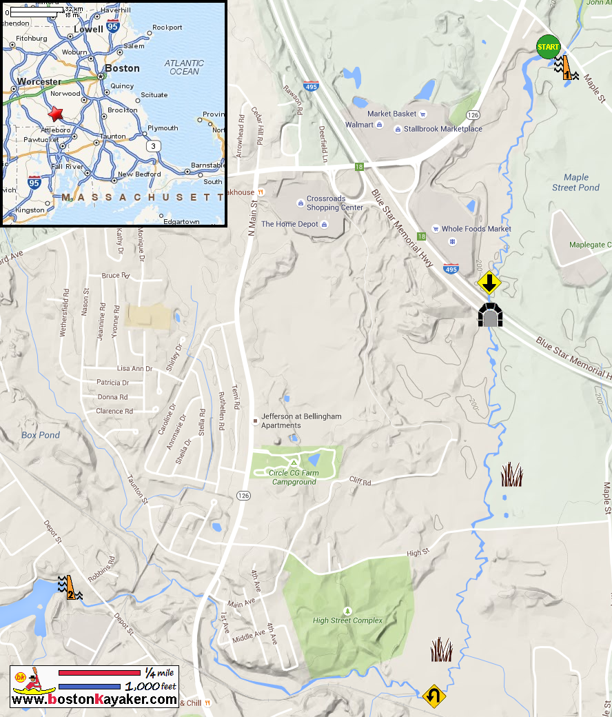
All photos in this website are original and copyrighted. 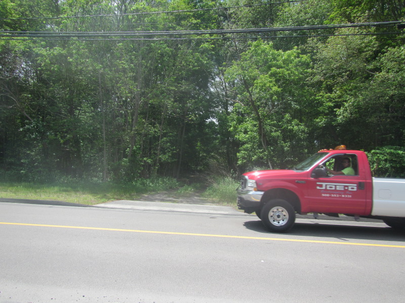 At Maple Street in Bellingham MA. Trip date is June 2015.
The access to the Charles River is on this unmarked dirt road off Maple Street. 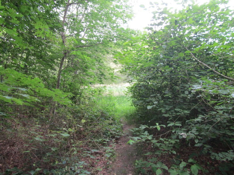 A short walk from the parking area to the dam.
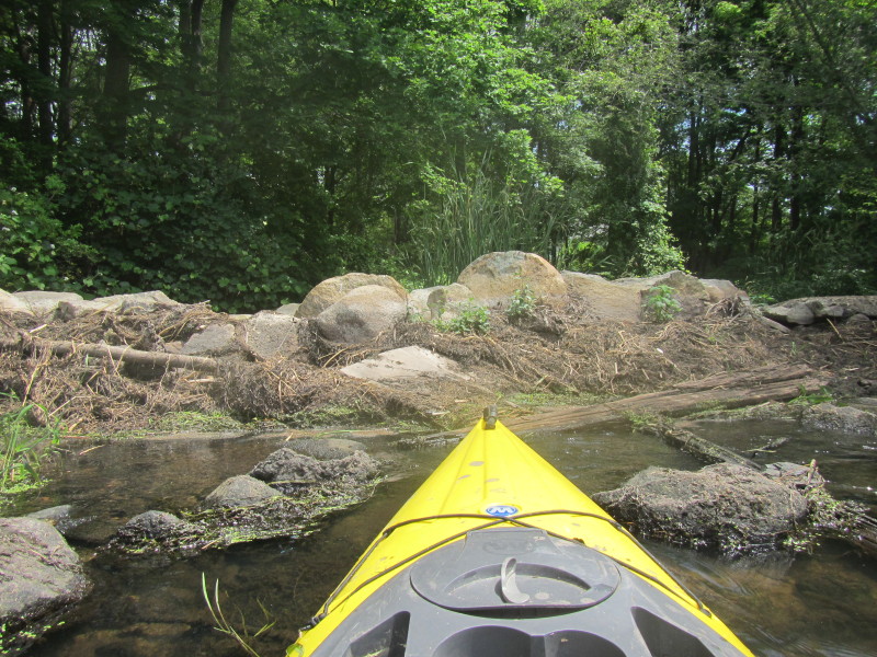
Portage of 100+ feet required. 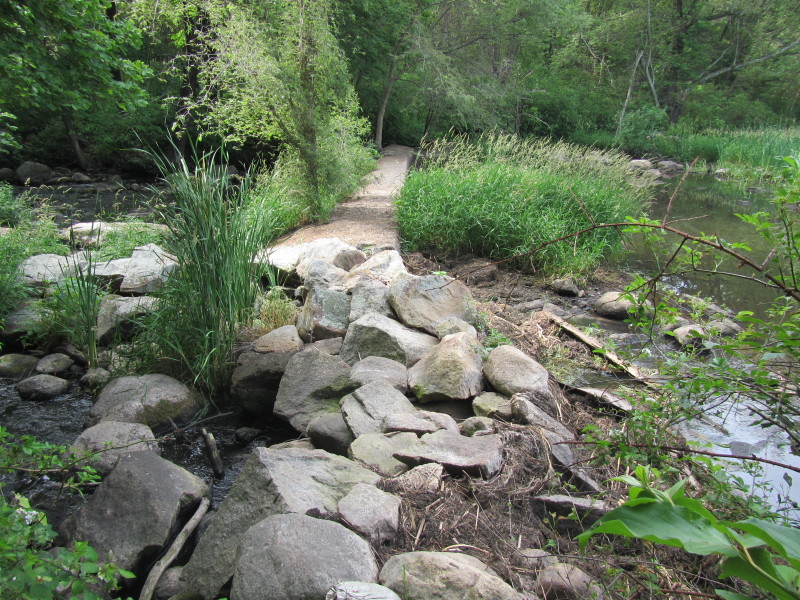 The breached Maple Street Pond Dam on the Charles River in Bellingham MA.
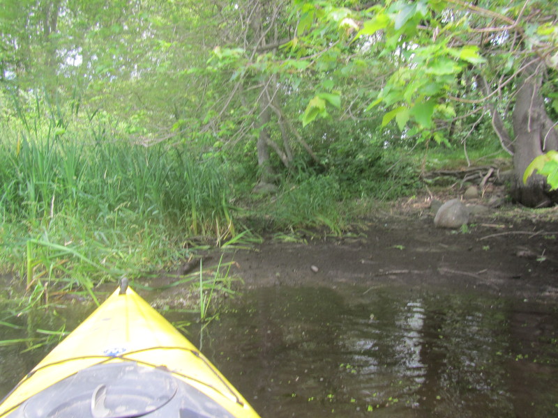
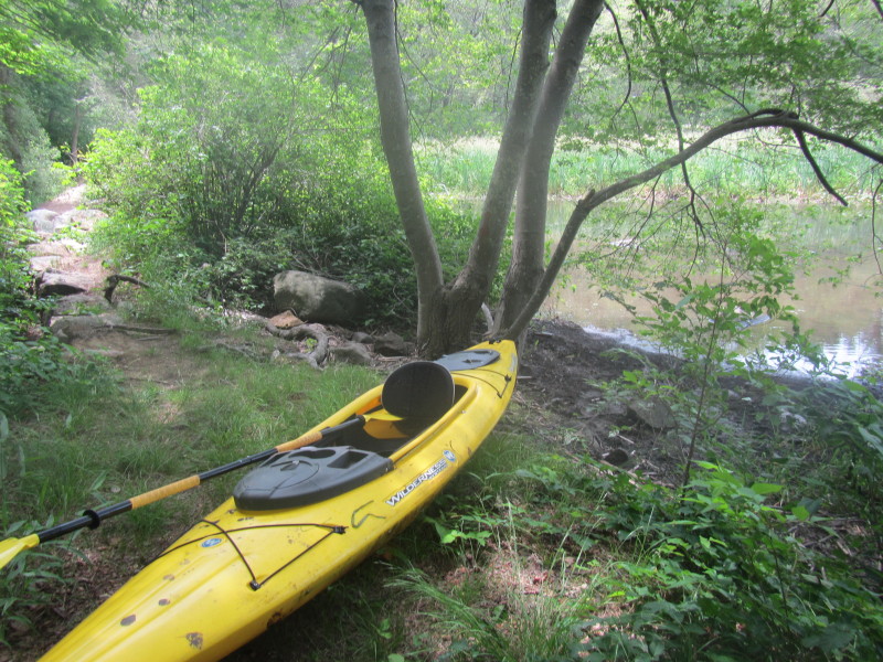
Also known as North Bellingham Dam. Water is flowing from right to left in this picture. 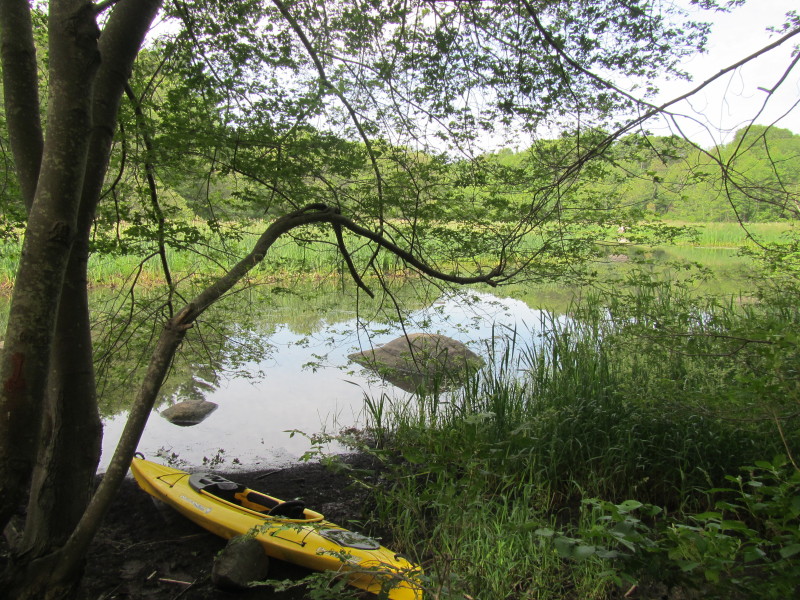 The muddy bank beside the dam serves as the informal launch to the Charles River above the North Bellingham Dam.
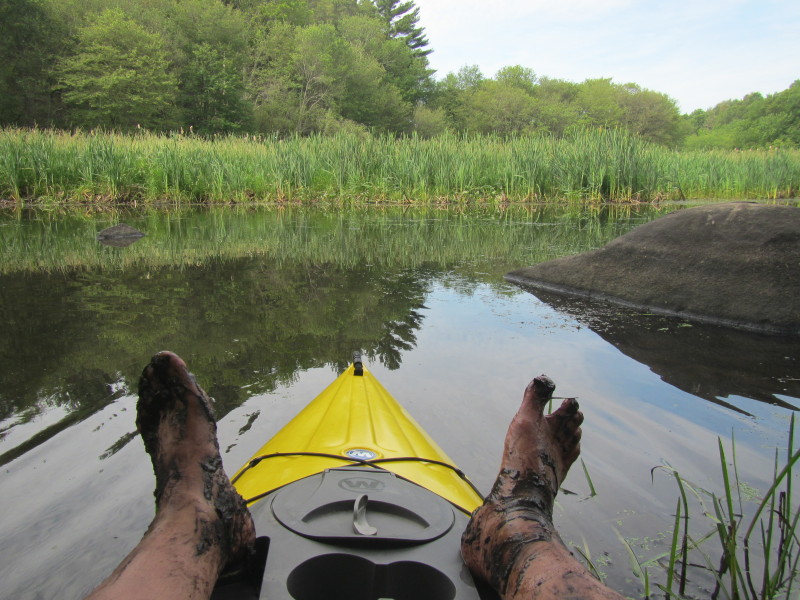
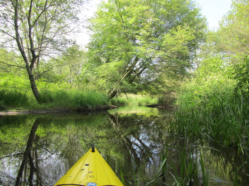
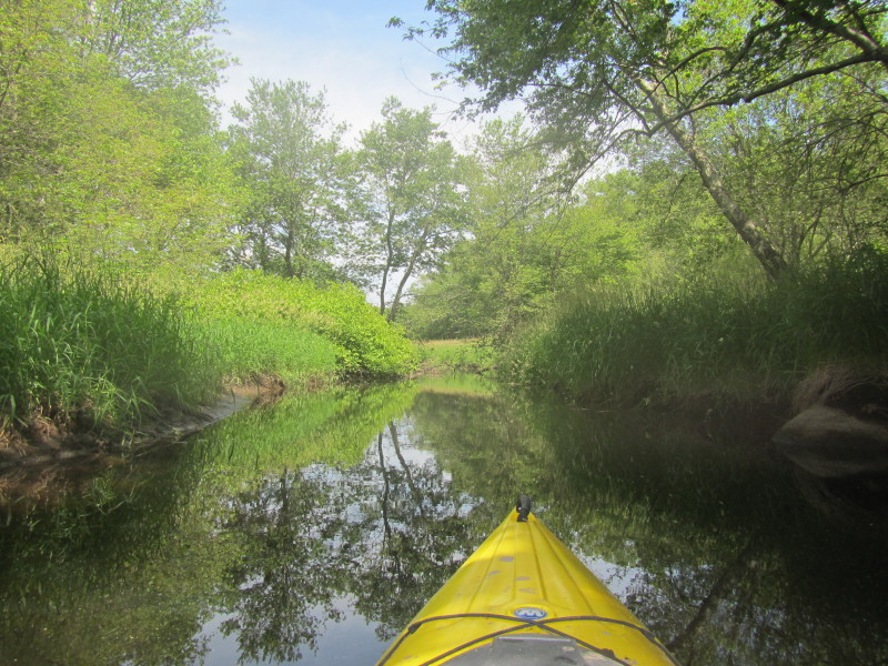
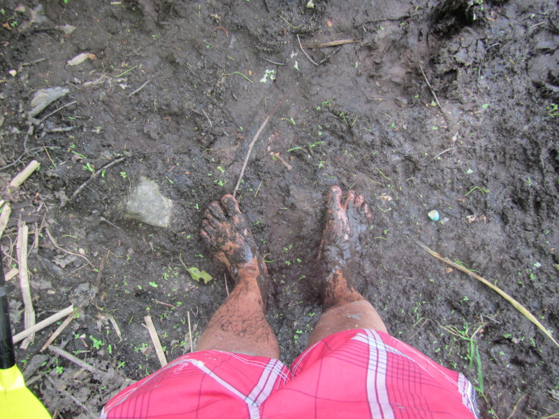
The Boston Kayaker just launched on the Charles River above the Maple Street Dam (North Bellingham Dam). My feet sank knee-deep launching and broke my rubber slippers in the process. 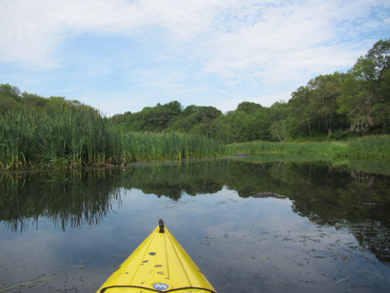 Paddling upriver southwards on the Charles River.
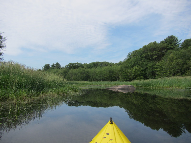
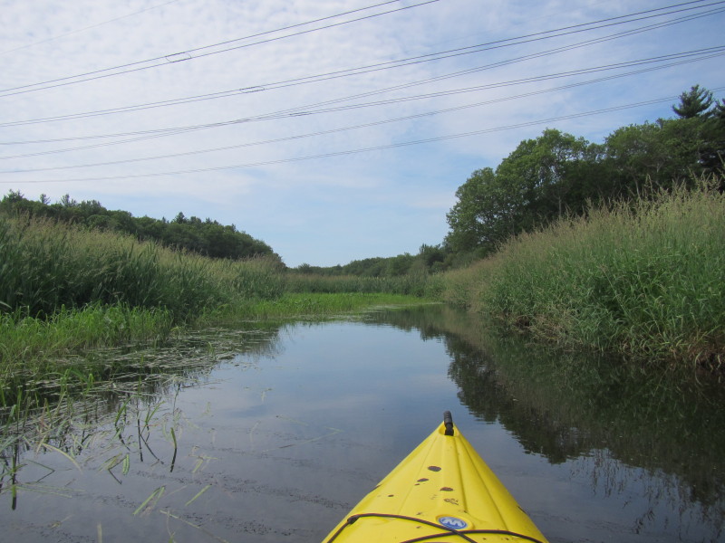
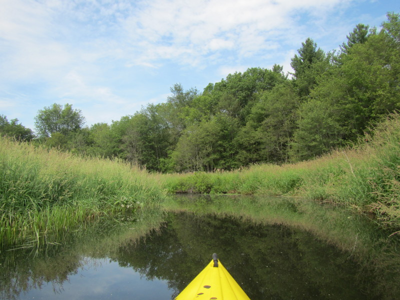
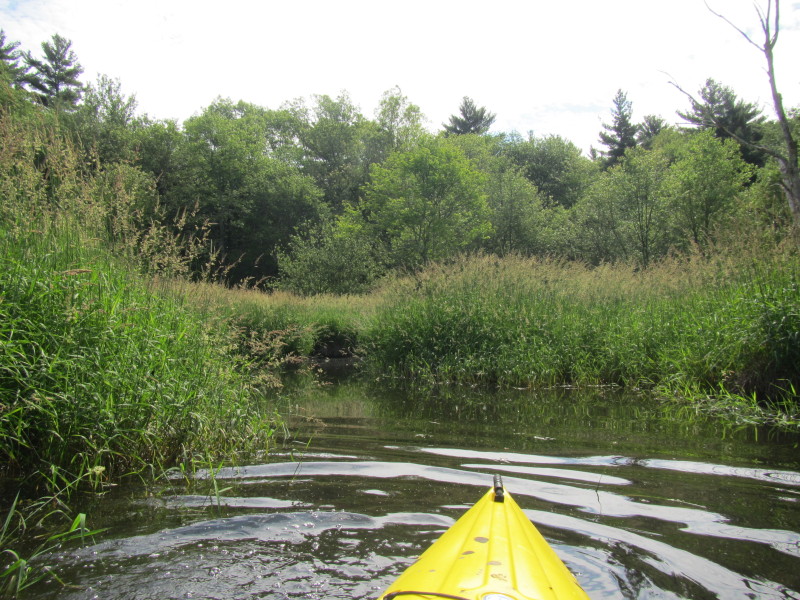
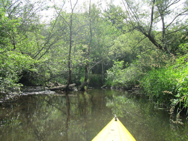
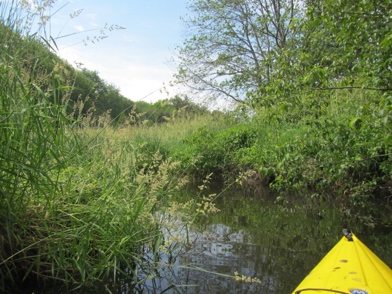
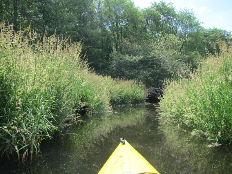
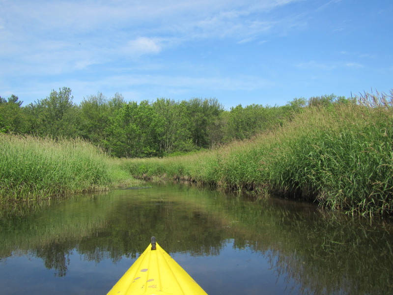
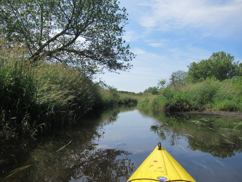
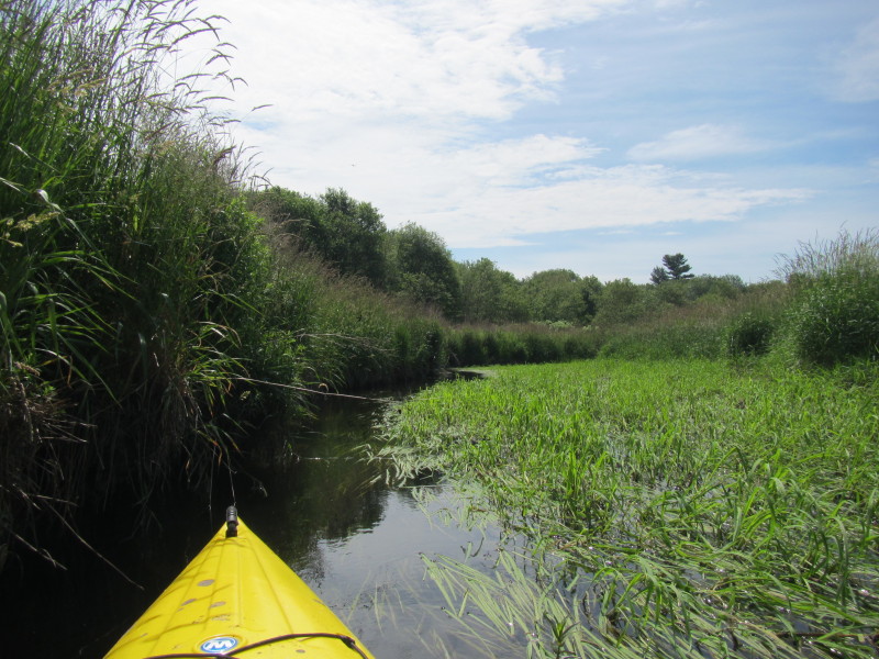
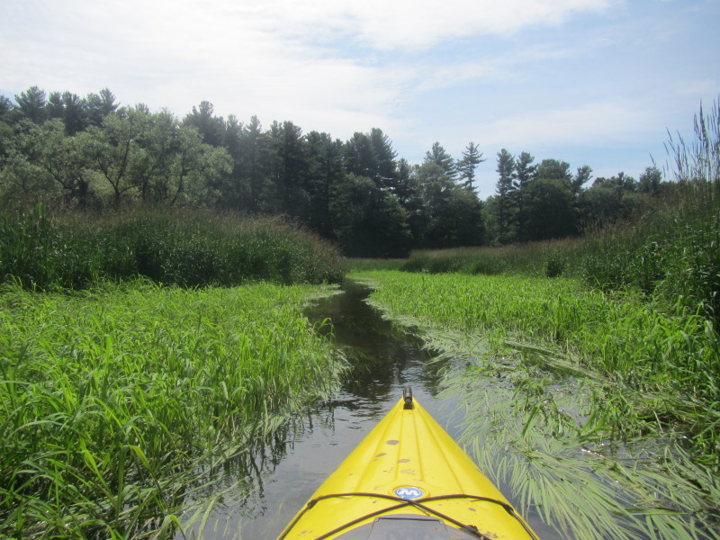
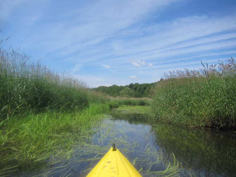
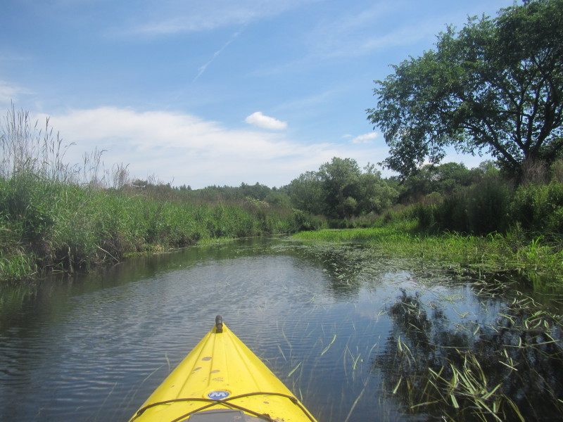
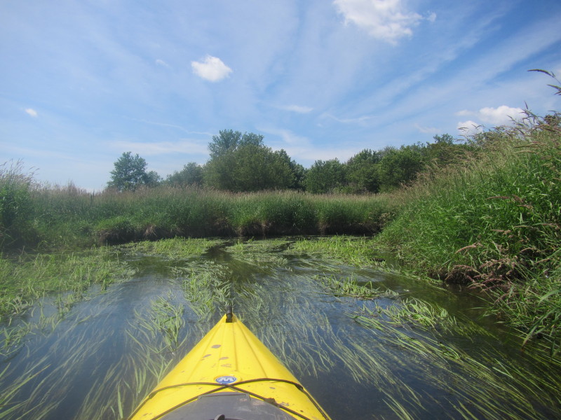
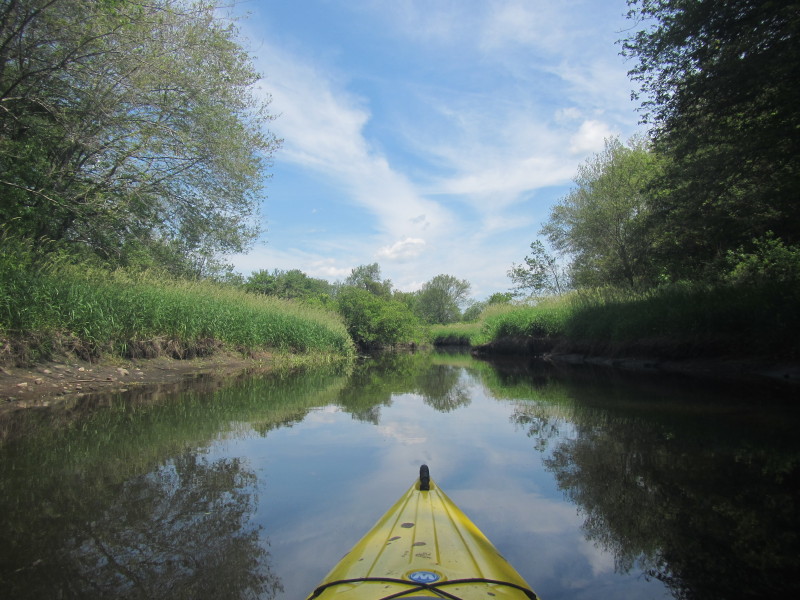
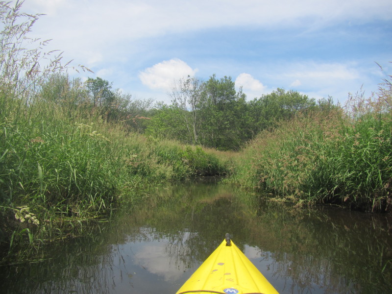
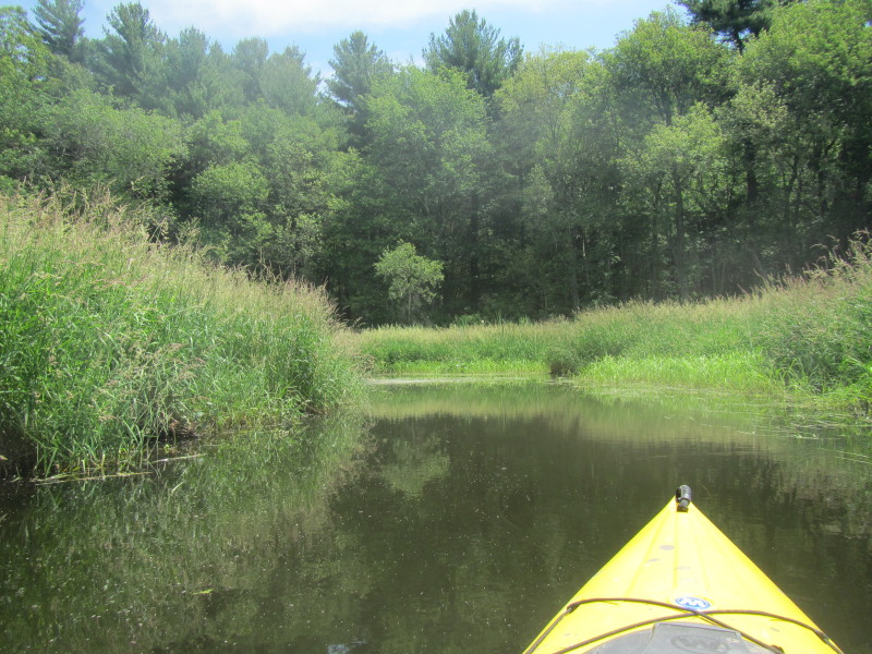
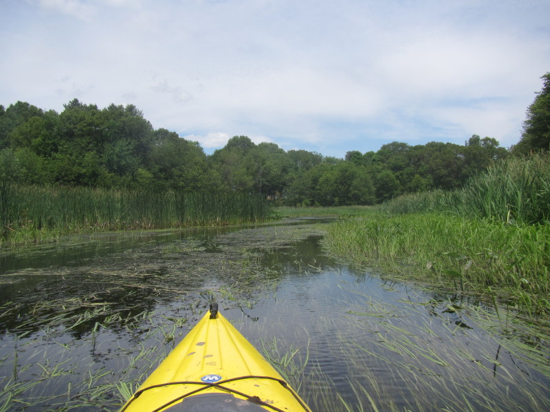
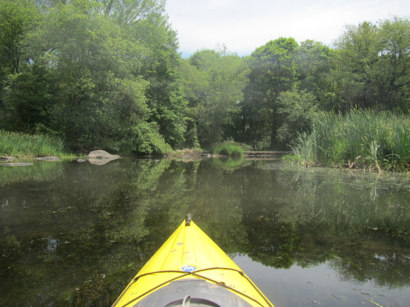
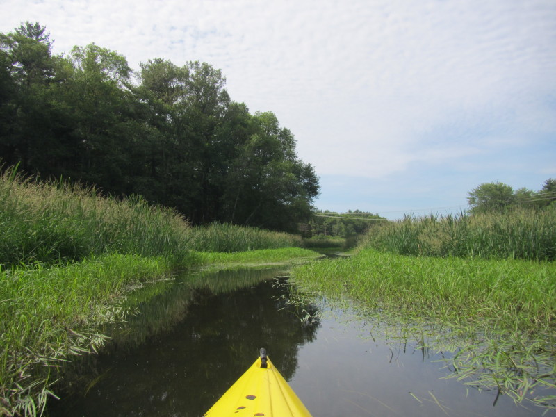 The Charles River cuts a clear path thru the marshes at this area.
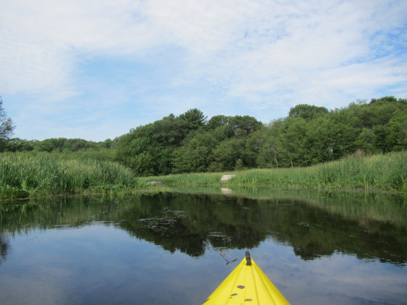
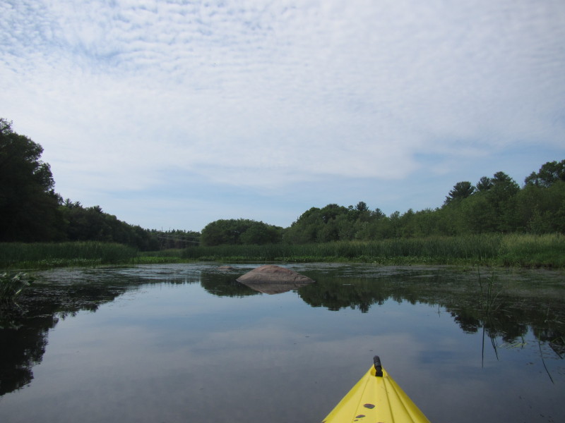
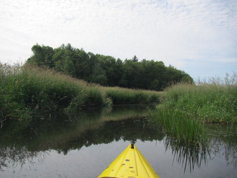
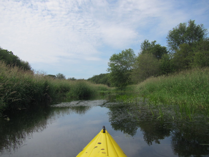
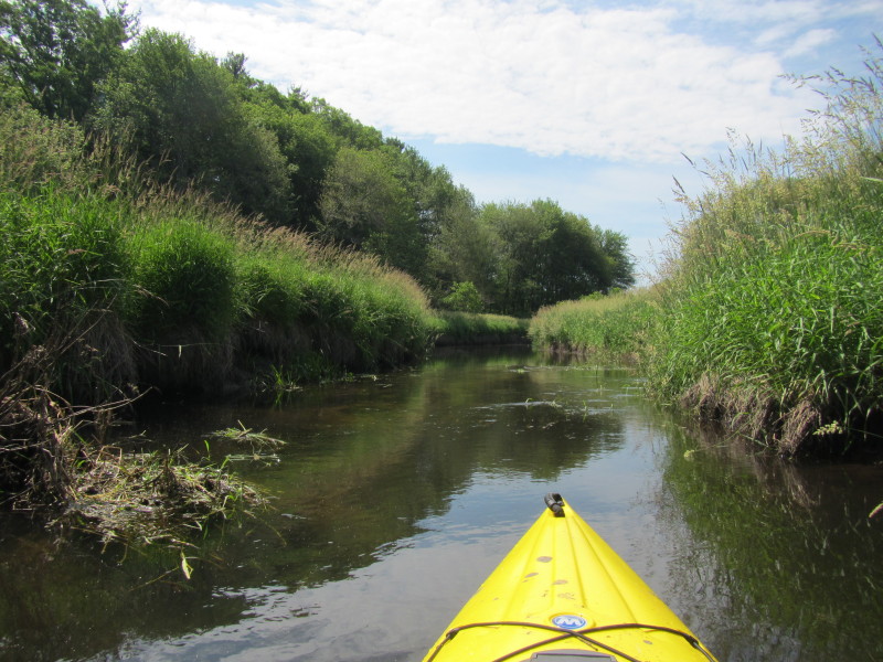
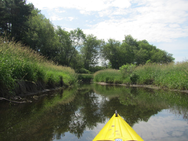
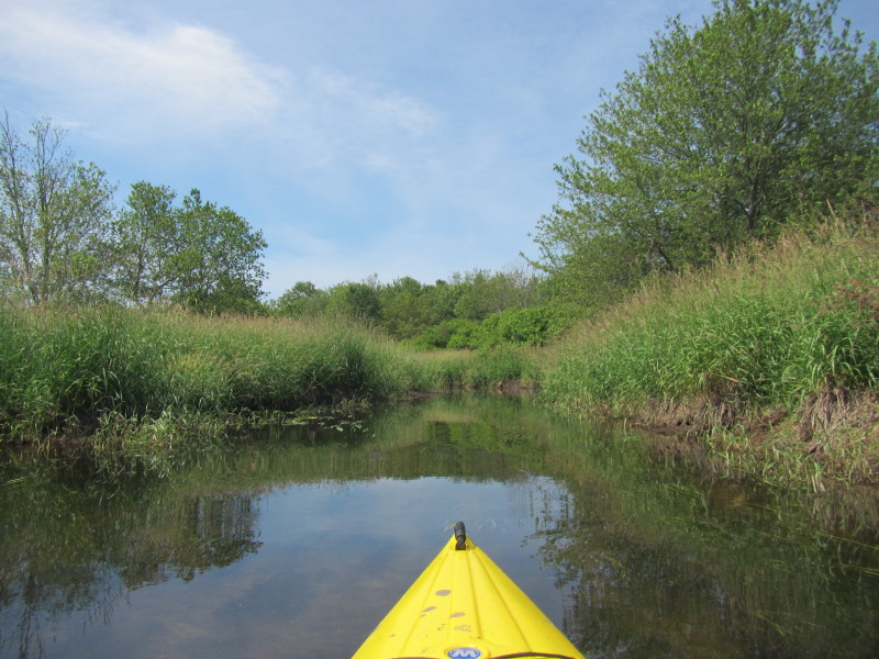
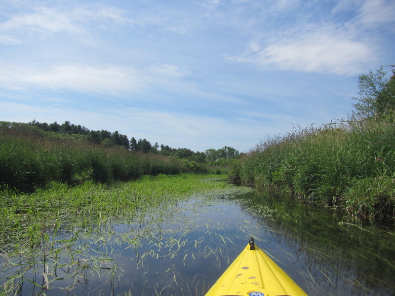
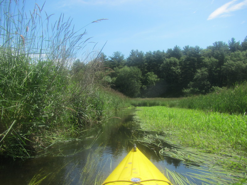
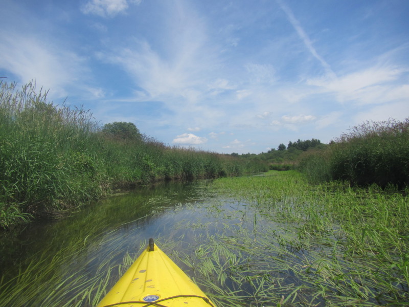
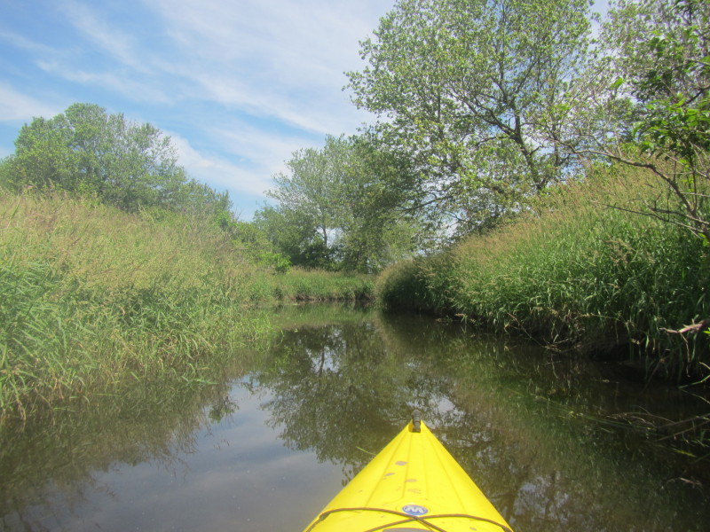
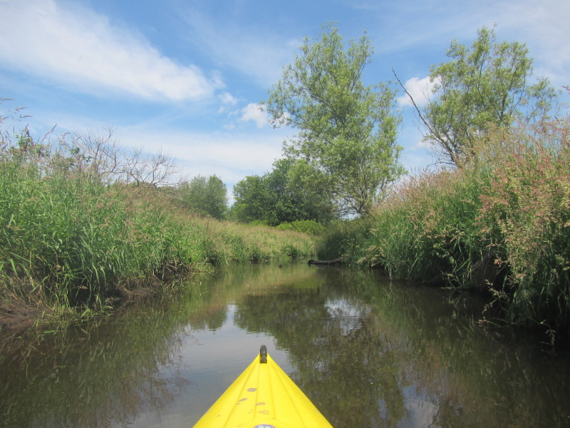
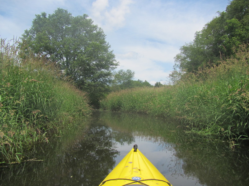
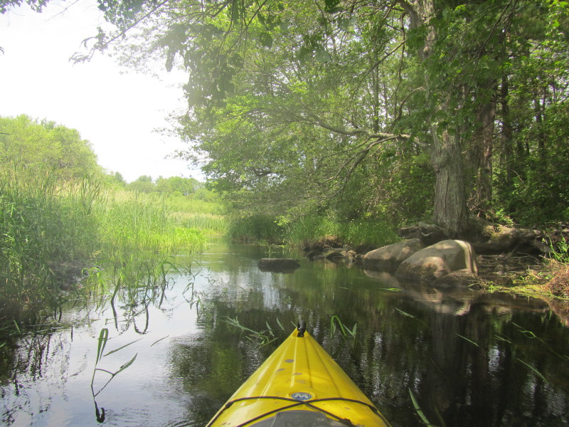
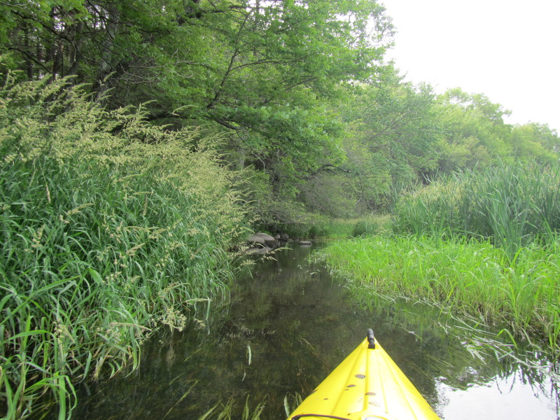 Tree-lined banks are short and far in between here.
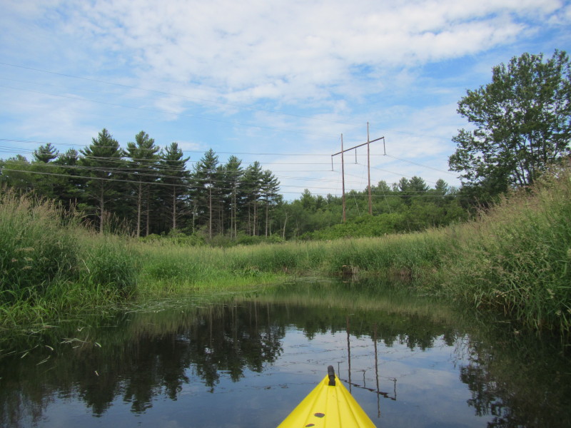
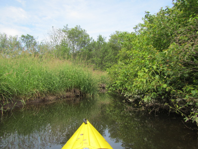
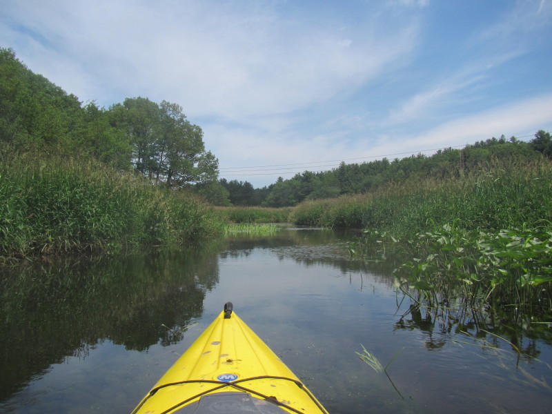
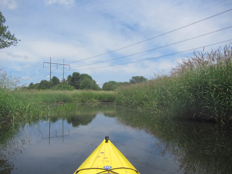
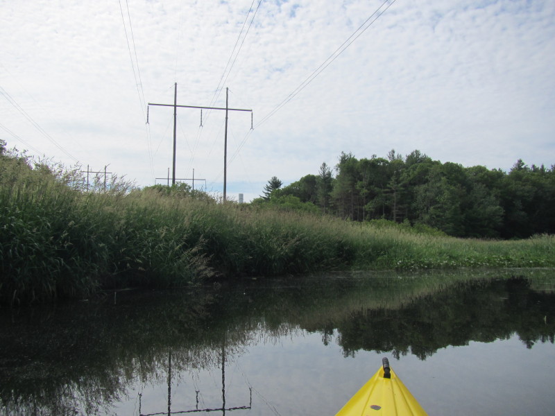 Now crossing past the power lines.
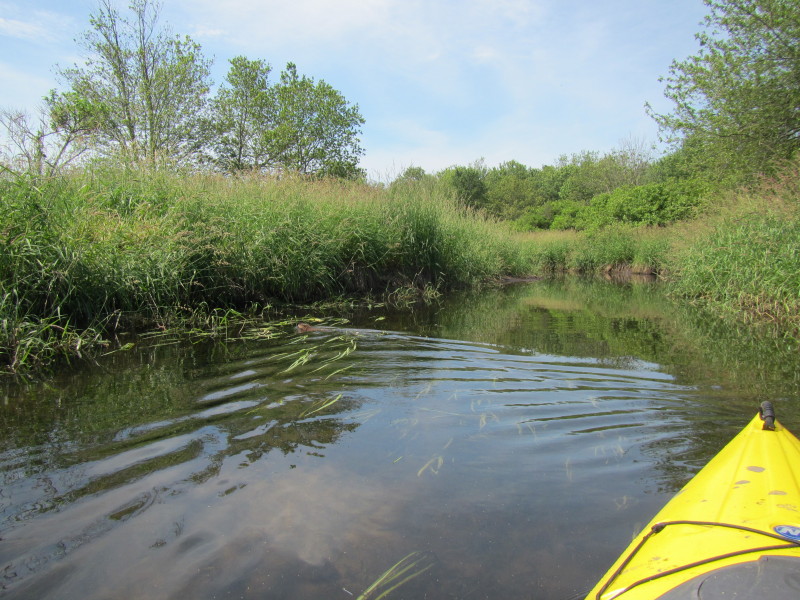
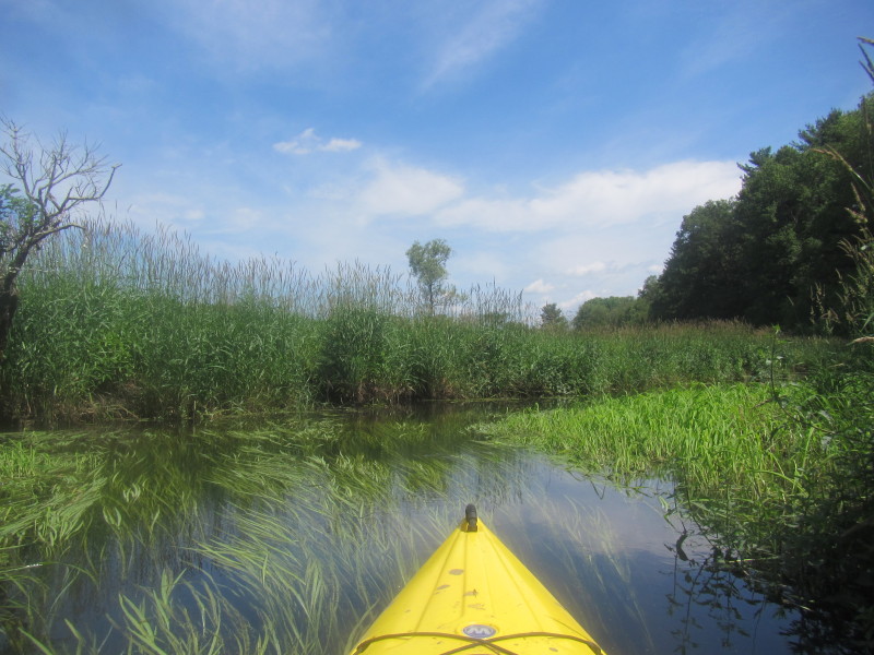
 With forks like this, I watched for the one with the greater flow (on the left).

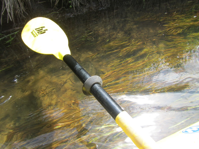
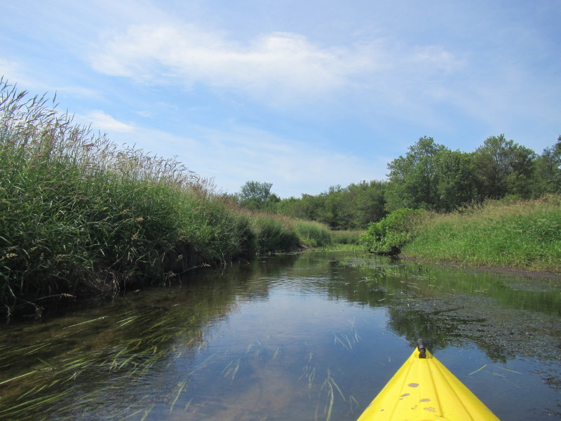
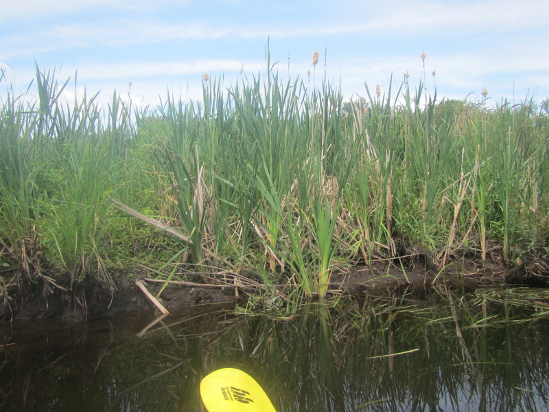
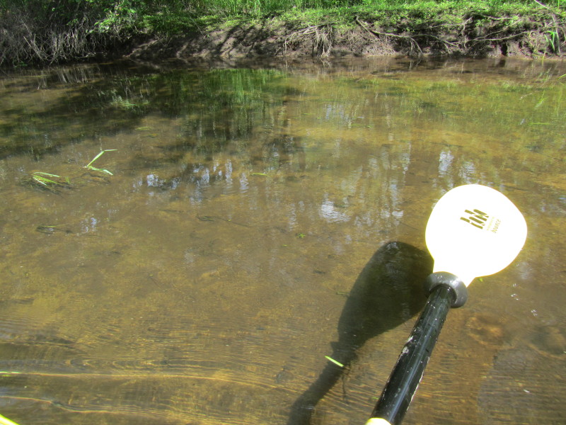 Water level here is about 8+ inches.
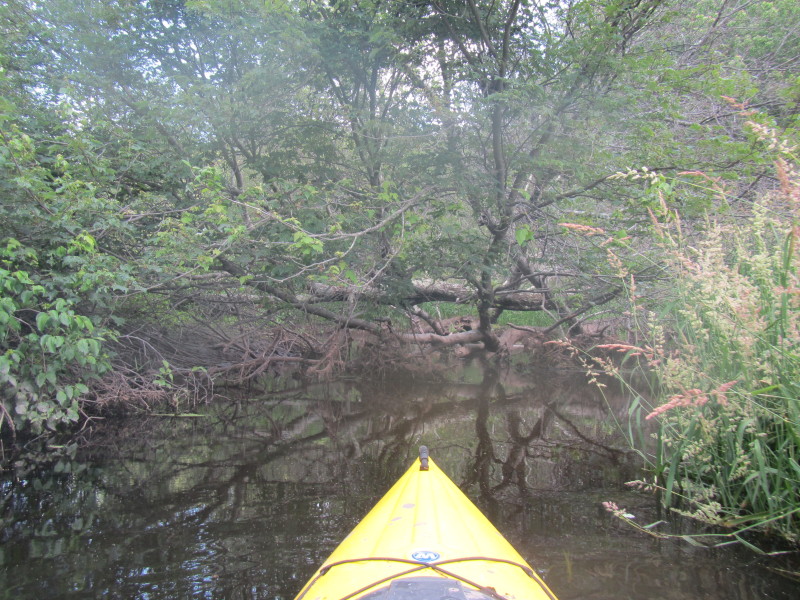
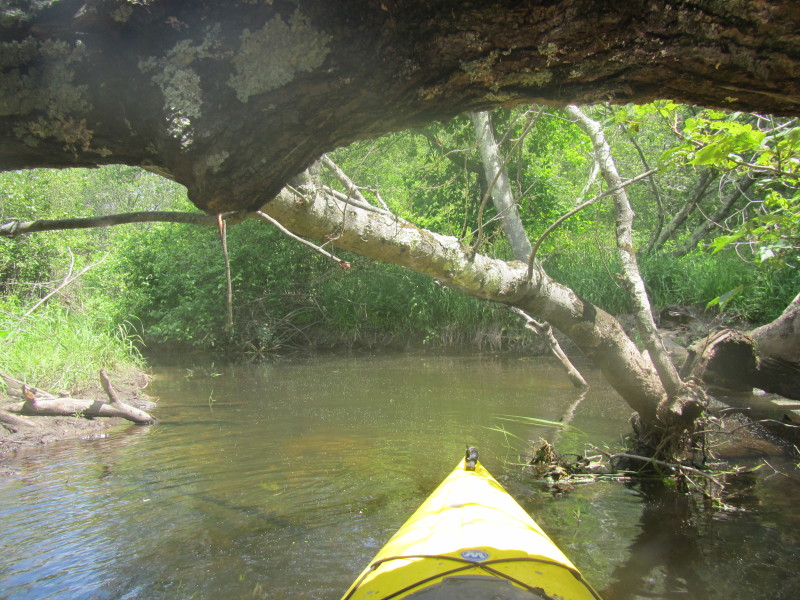
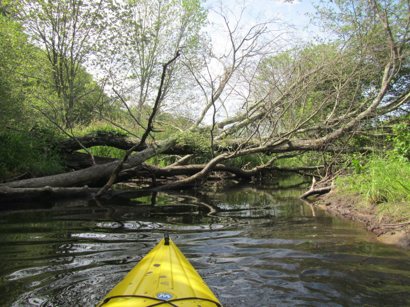 A downed tree blocking the Charles River.
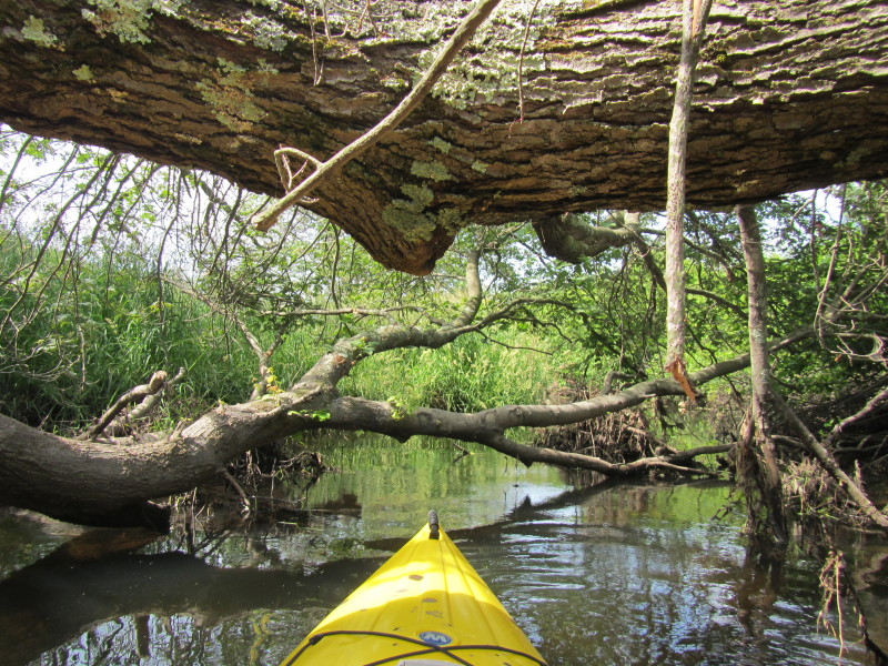
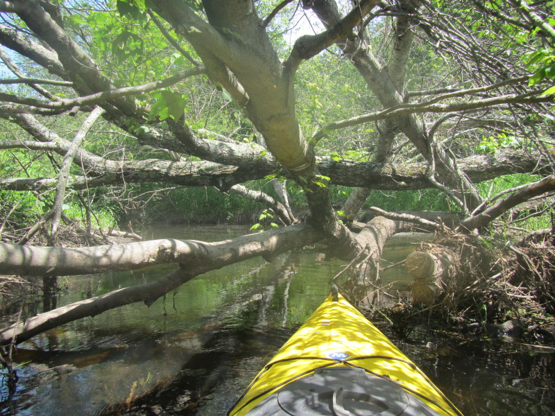
 There is enough clearance for the kayak to glide under . . .
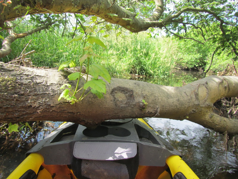
Which means I can slide forward inside my kayak to clear under. 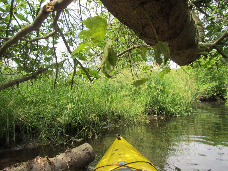 Just got under and repositioned to sitting position.
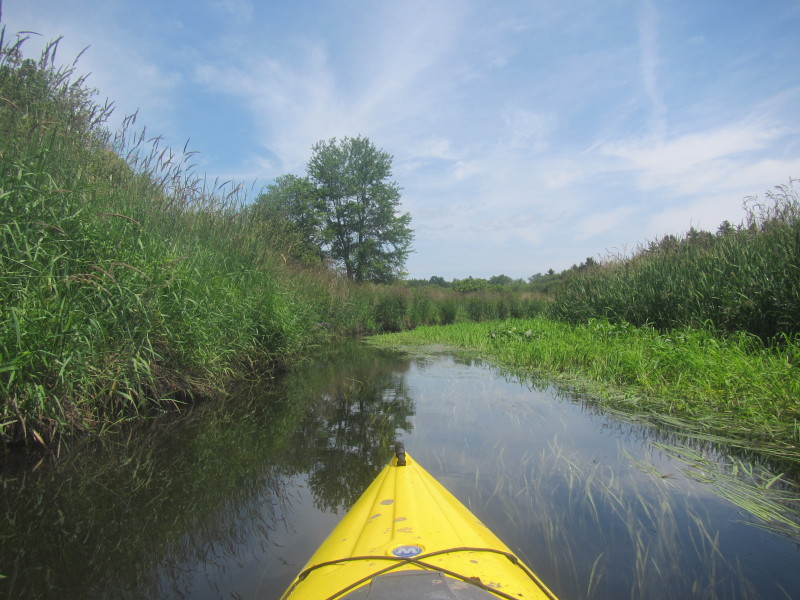
 Continuing on upstream on the Charles River past the downed tree.
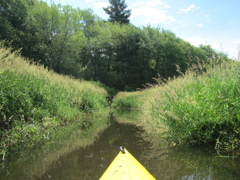
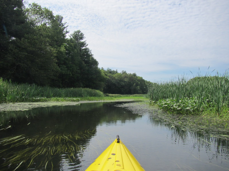
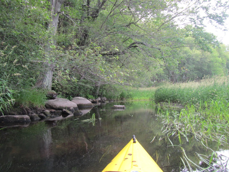
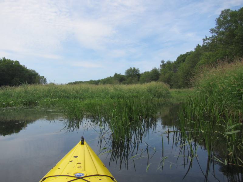
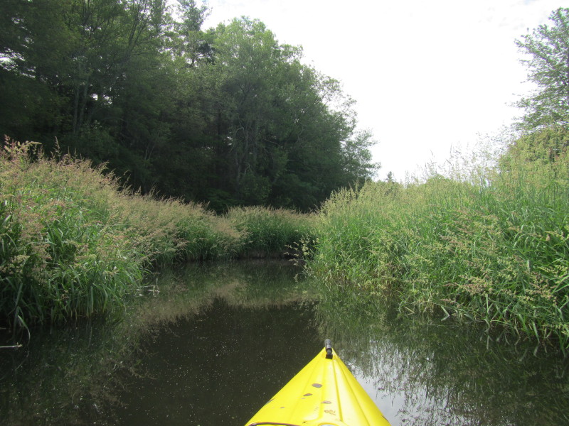
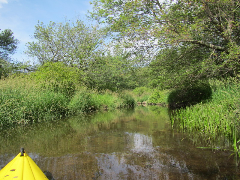
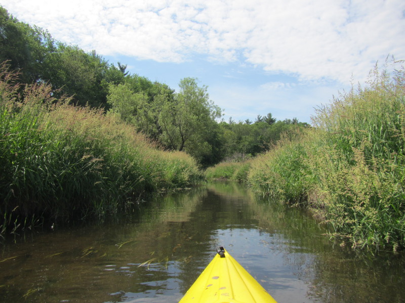
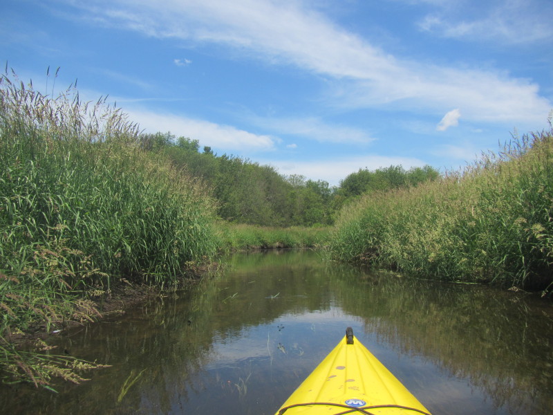
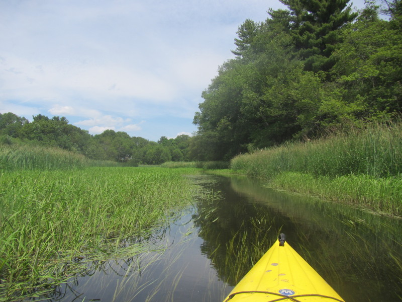
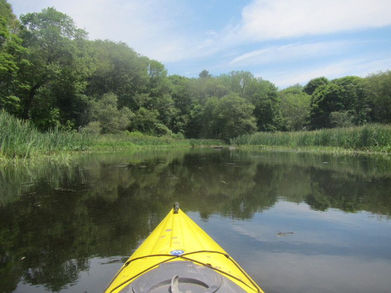
 With all the river bends, you can not see that far into this river.
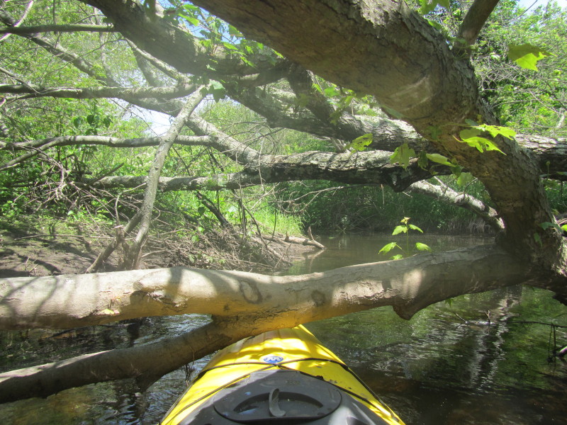
 Another tree lying on the Charles River.
This one a few inches below so I have to slide over. 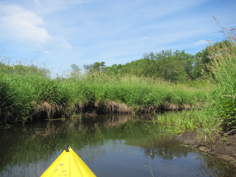
 Now I can see the northbound side of I-495.
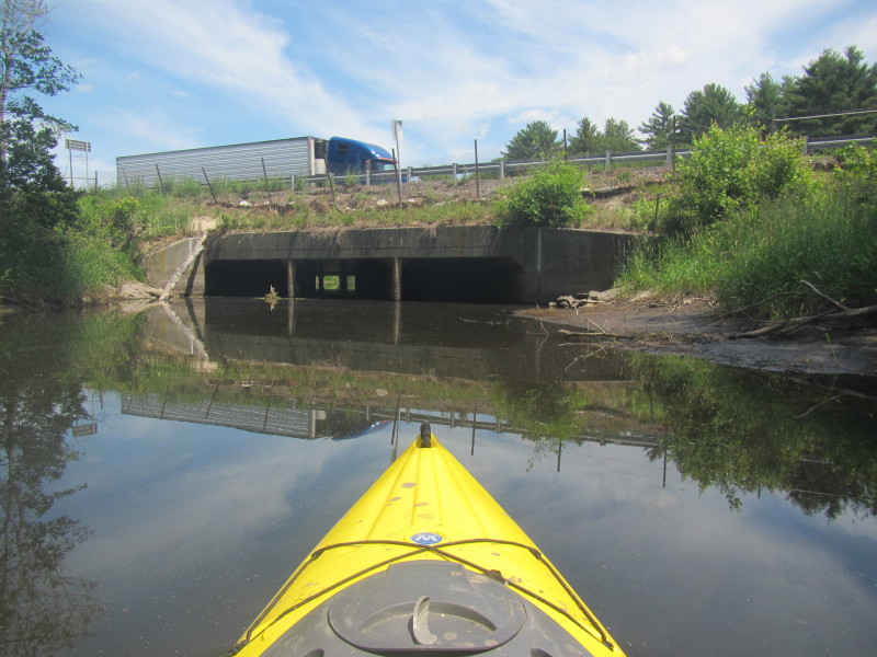
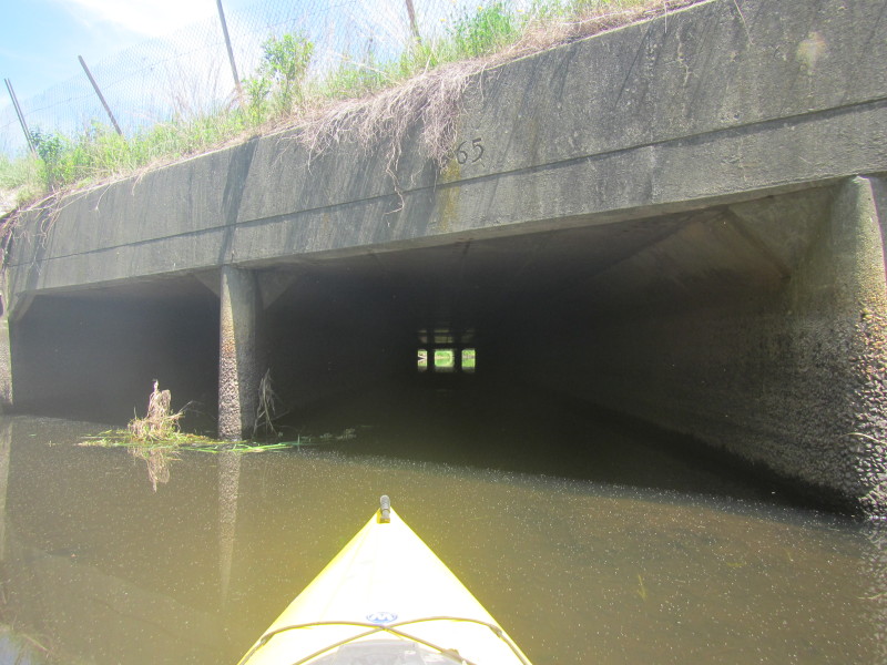
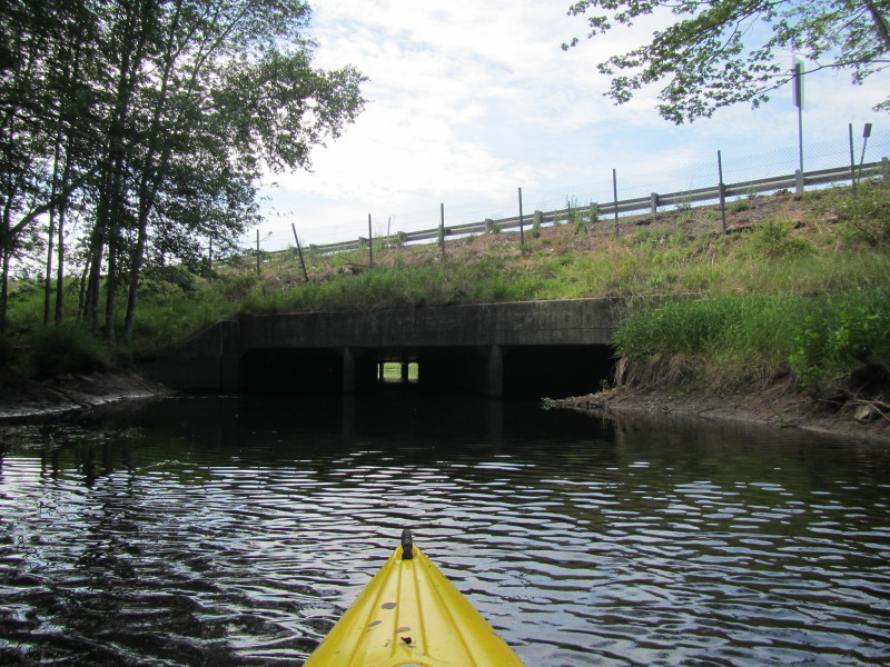 The I-495 tunnels on the Charles River in Bellingham MA.
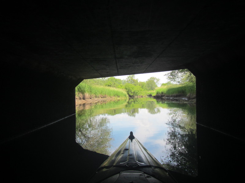
Whenever faced with the choice of 3 culverts/tunnels, always pick the middle one! 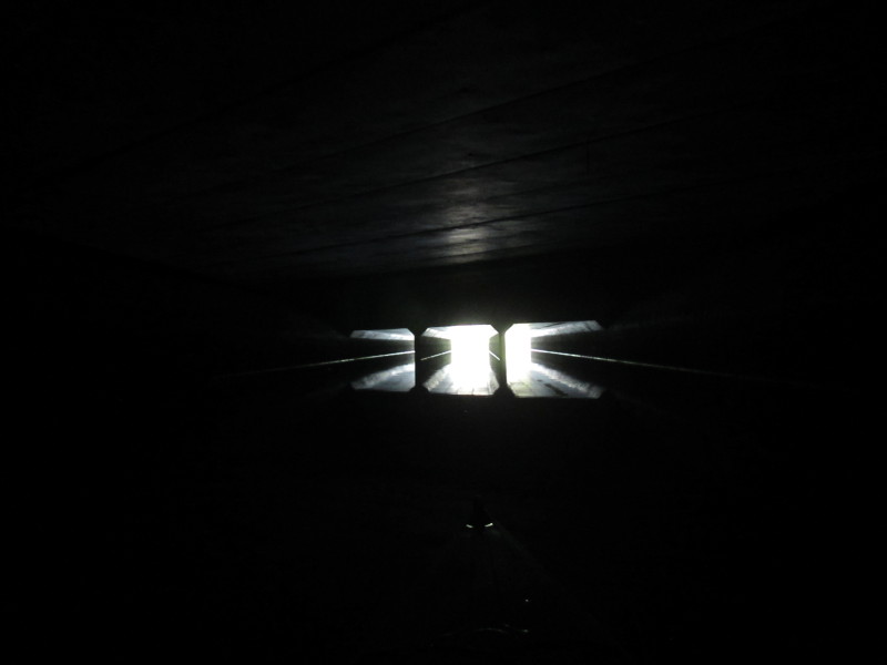 Inside theI-495 tunnel on the Charles River just emerging from the north-bound culverts
and now directly under the median.
Inside theI-495 tunnel on the Charles River just emerging from the north-bound culverts
and now directly under the median.
The middle part of this tunnel has no culverts supporting traffic that is why I can see another set of 3 culverts supporting the south-bound I-495 lanes. 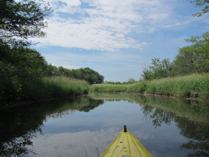 Now past and south of the I-495 over the Charles River.
 A busy beaver on Charles River.
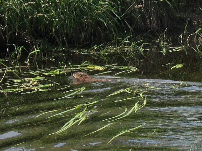 Close up of beaver on Charles River.
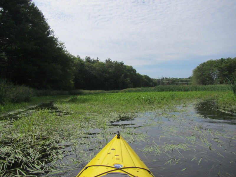
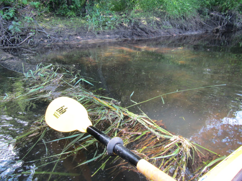
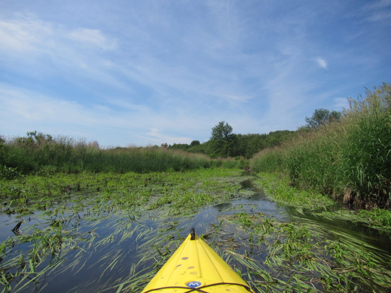
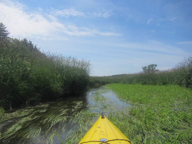
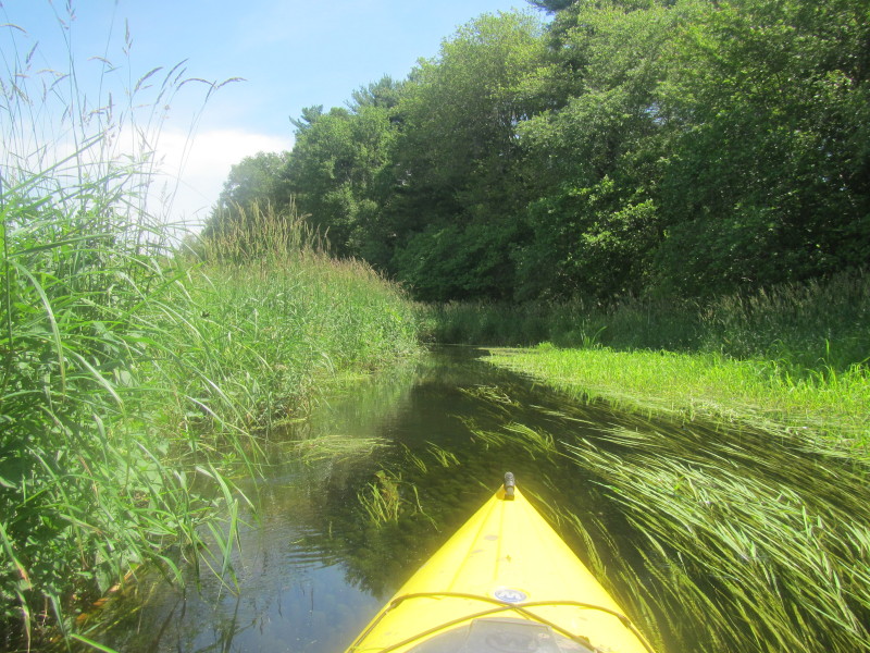
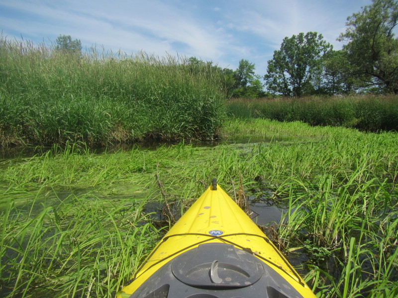
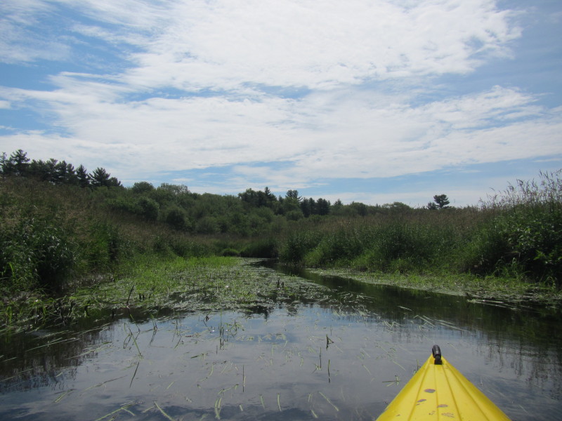 The clear path of the Charles River is about 2 feet wide and the
rest is a swampy marsh that is hard to paddle over.
The clear path of the Charles River is about 2 feet wide and the
rest is a swampy marsh that is hard to paddle over.
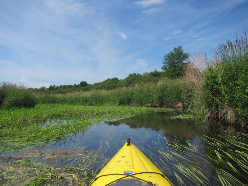
 Staying on the left where the water is clearly running.
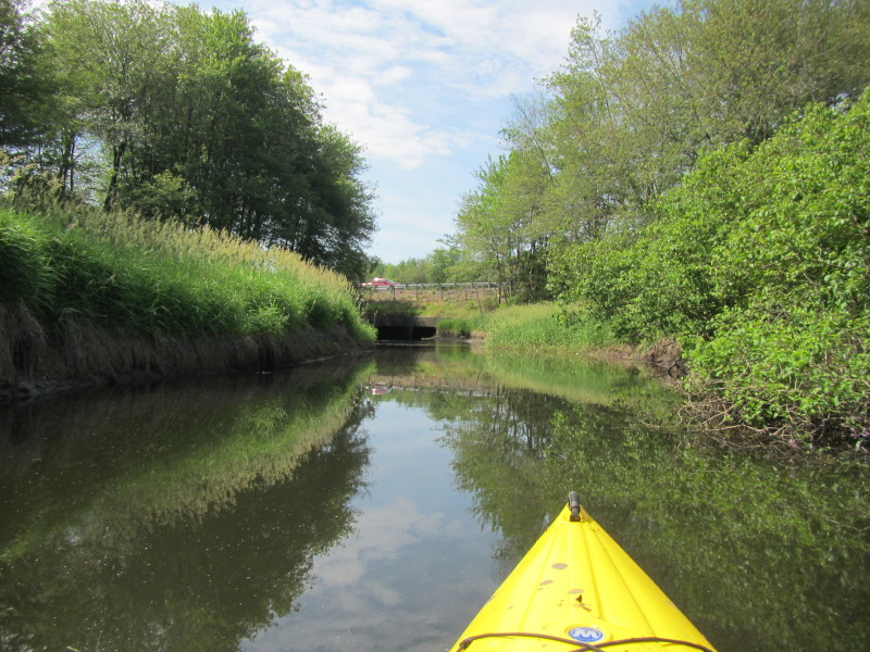
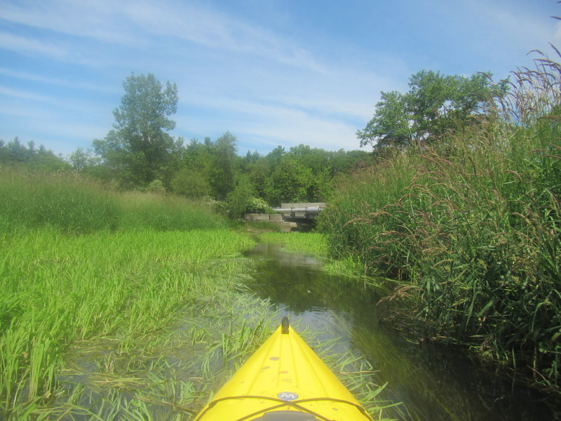
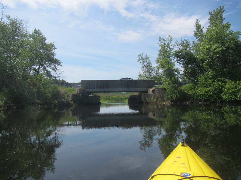 The High Street bridge over the Charles River in Bellingham MA.
 On the right just before the High Street bridge is a clearing that can be a potential access
(north west side).
On the right just before the High Street bridge is a clearing that can be a potential access
(north west side).
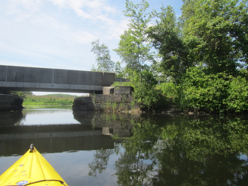
 Now south of the High Street bridge. Coninuing upriver paddle.
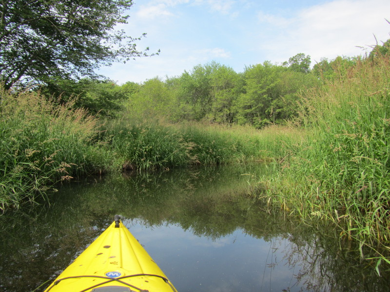
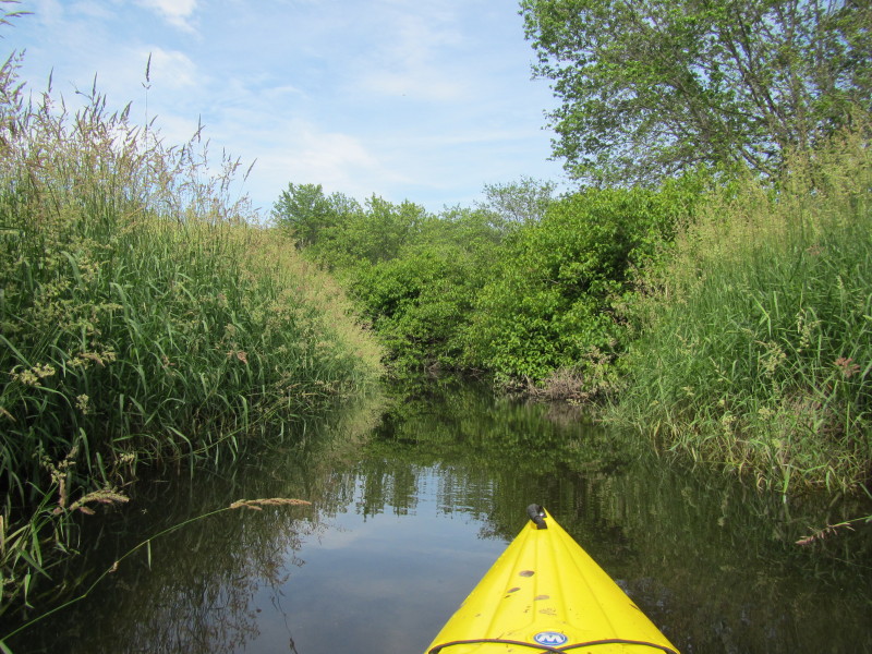
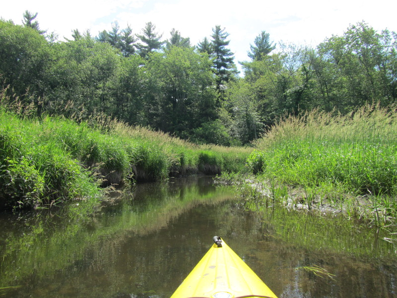
 The river is becoming monotonous and I am getting tired.
At this point, I decided to turn around and start my paddle back. 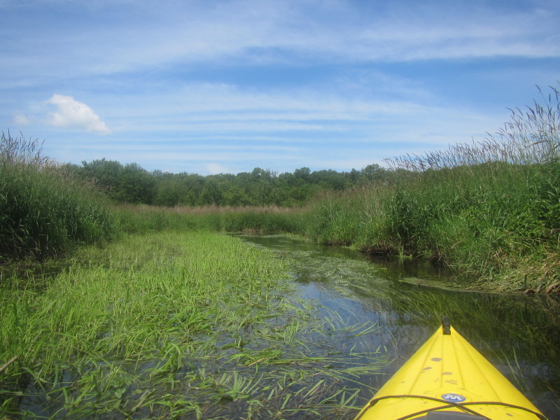 Just turned around, now facing and paddling downstream on the Charles River.
 Notice the underwater grasses now pointing in the same direction where I am doing (downstream that is).
 Sometimes, there is this swampy patch in between clear river paths.
 Approaching the High Street bridge from the south.
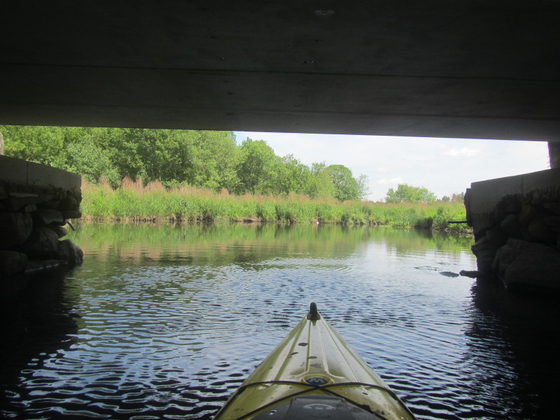 Passing under the High Street bridge on the Charles River.

 Approaching the I-495 tunnels on the Charles River from the south.
 I took the middle tunnel earlier, so I will take the same tunnel on the way back.

 About to emerge out of the I-495 tunnel on the north side.
 Here is that same downed tree I have to slide under . . .
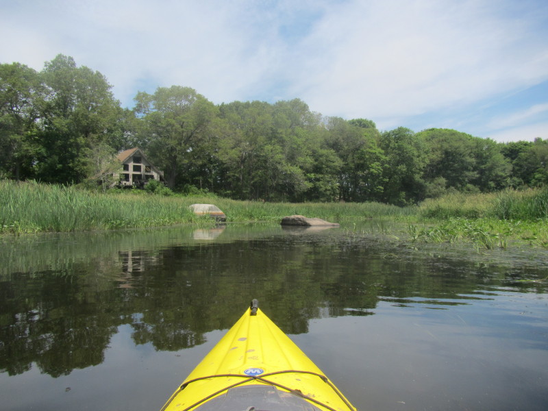
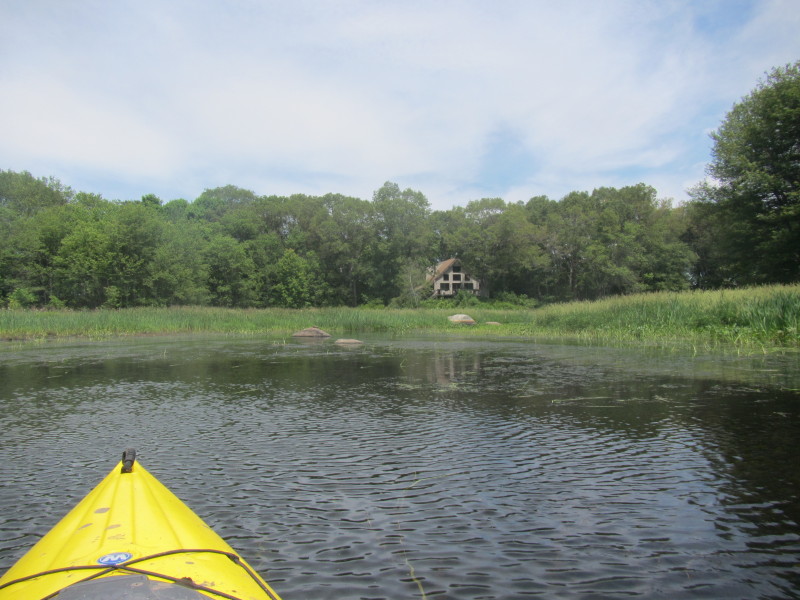 This is the only house on this stretch of the Charles River.
 I can now see the breached Maple Street Pond Dam.
 Tried landing on the rocky breached portion of the dam to see if there is an easier alternative
to the knee-deep mud I launched from earlier.
Tried landing on the rocky breached portion of the dam to see if there is an easier alternative
to the knee-deep mud I launched from earlier.
 No luck, will take that same muddy landing.
 Muddy landing.
 I was on the waters of Charles River for 2 hours and 40 minutes.
|