|
Download printer-friendly
PDF version that fits in one page: |
Other resources:
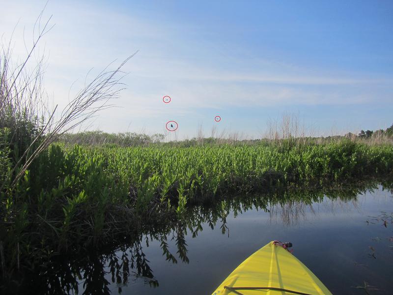
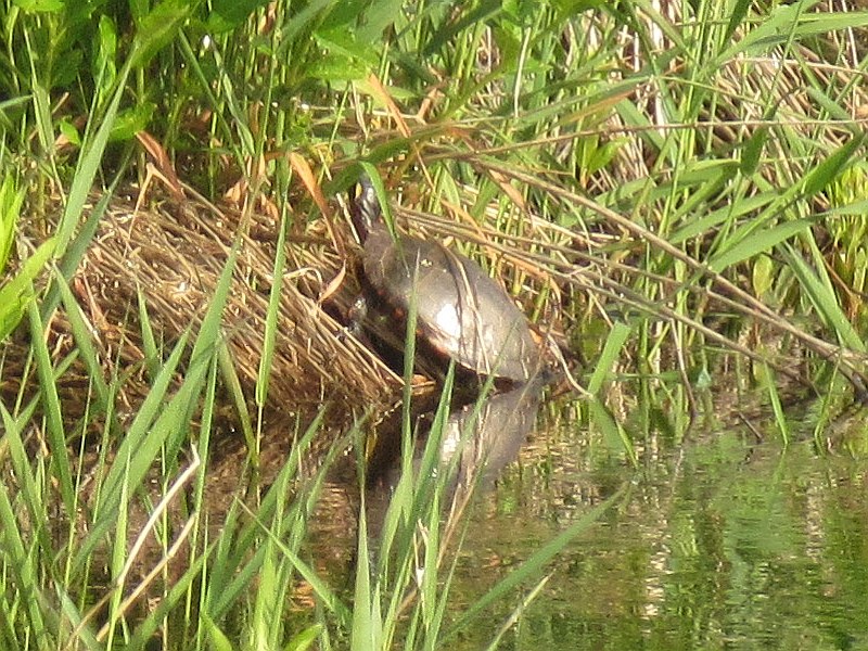
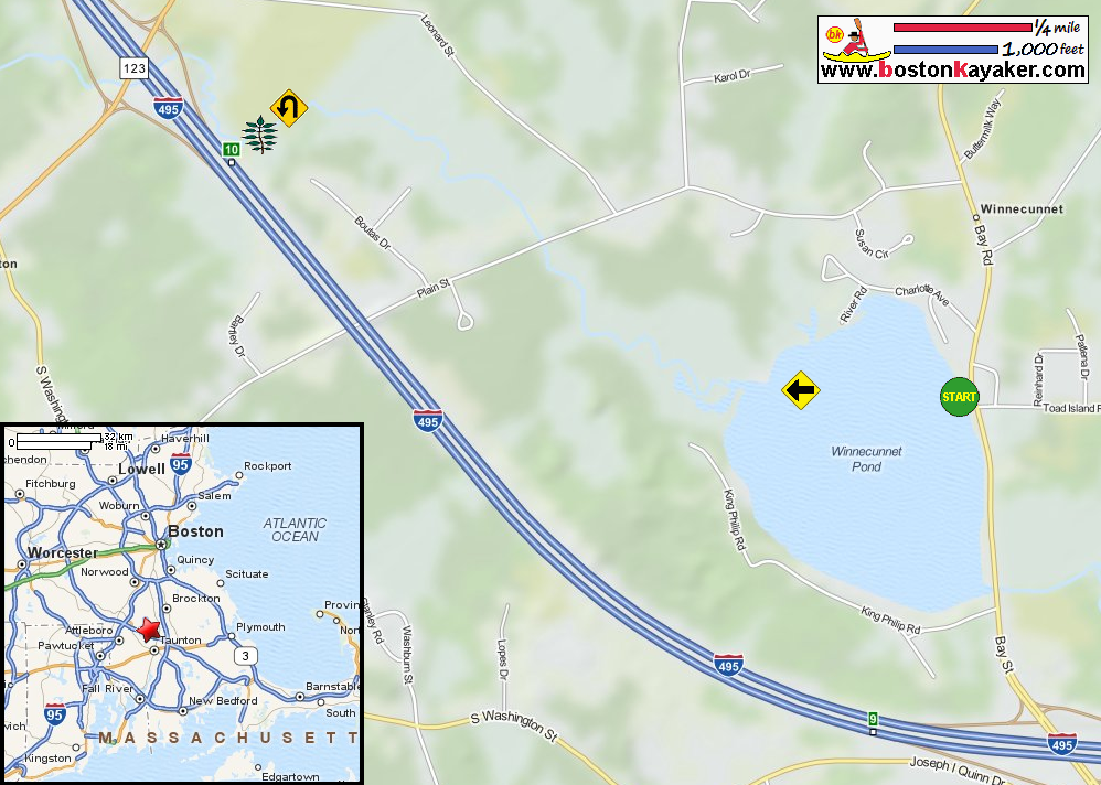
CRAAC: Canoe River Brochure CRAAC: Canoe River Brochure (cached copy) Canoe River Aquiefer Advisory Council Mass Govt.: Winnecunnet Pond Bathymetry Map Mass Govt.: Winnecunnet Pond Bathymetry Map (cached copy) All photos in this website are original and copyrighted. On Winnecunnet Pond and Canoe River at Bay Road in Norton MA. Trip date is June 2013. It's only 6:52am in the early morning. Just launched on Winnecunnet Pond. Looking at my left (south coast). Looking at my right (north coast). Now looking west to my destination. A lot of these aquatic plants just below the water. I am paddling sinking only a bit of the paddle about the aquatic garden. The mouth of Canoe River I can see on the horizon. The mouth of Canoe River draining into Winnecunnet Pond. I will paddle upstream into the Canoe River. I see 3 birds, 2 in flight . . . Bird. Pink ribbons on a plant on Canoe River. Plain Street Bridge. Canoe River gague at Plain Street Bridge. Currently reads 3 feet 1 inch. A turtle on Canoe River. I have reached this impenetrable brush. Oh well. Will turn around. I am doing a 5-point-turn to turn my kayak around on this very narrow Canoe River. I am now paddling back and with the flow of the river. Plain Street Bridge again on my way back. This seem to lead to a trail. I can hear 2 women chatting. That plant with 3 pink ribons on Canoe River. I can now see the mouth of Canoe River into Winnecunet Pond. Back to Winnecunnet Pond. Looking to my right, the south coast of Winnecunnet Pond. I was on the waters of Winnecunnet Pond and Canoe River for 2 hours and 2 minutes. |