 Kayaker

|


|
Download printer-friendly
PDF version that fits in one page: |

|
|
Other resources:
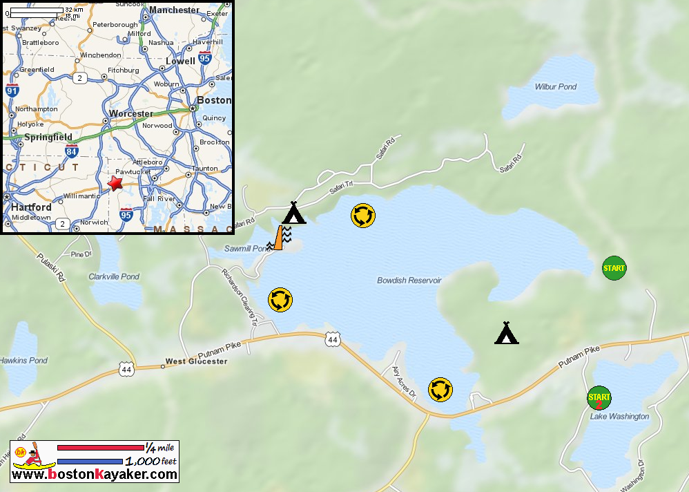
Explore RI's Blueways and Greenways: Bowdish Reservoir in Chepachet RI All photos in this website are original and copyrighted. 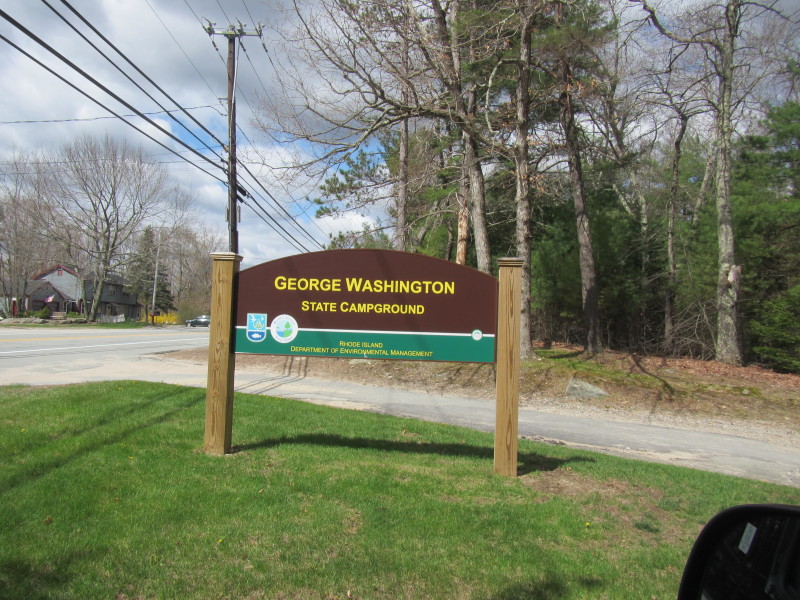 Road sign from Route 44 in Chepachet RI.
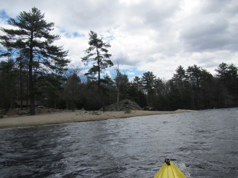
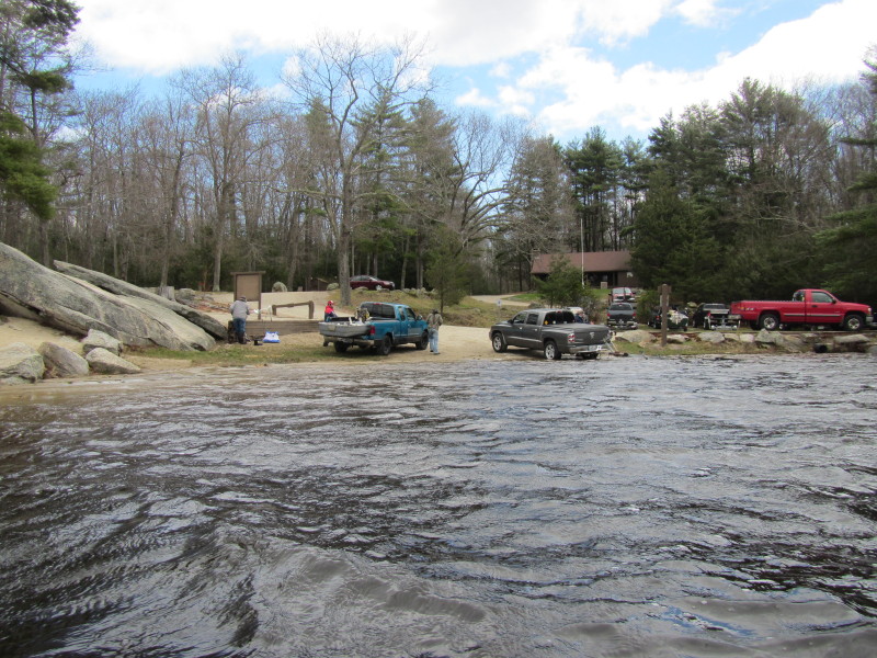
Trip date is May 2014. 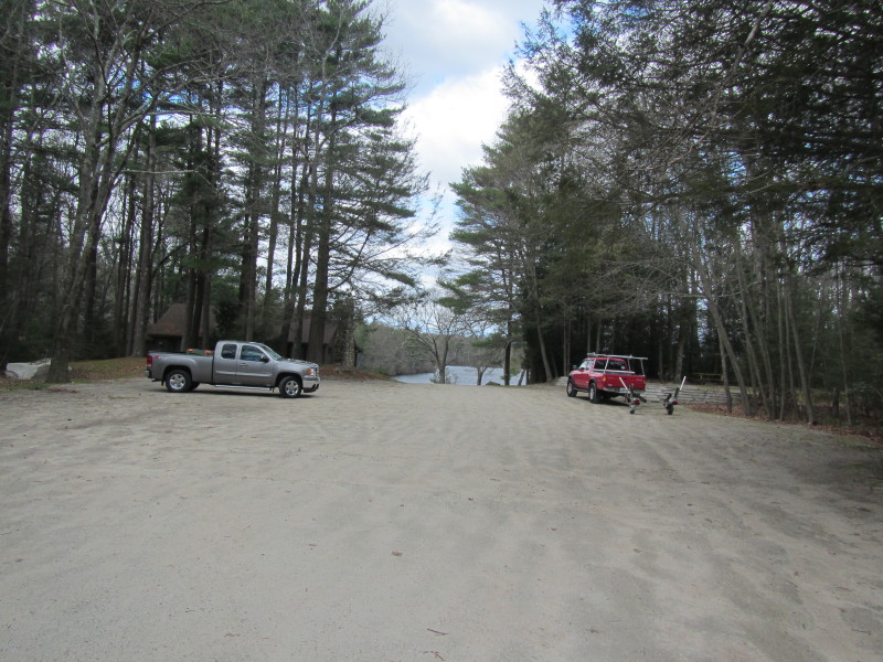 The launch area at Bowdish Reservoir.
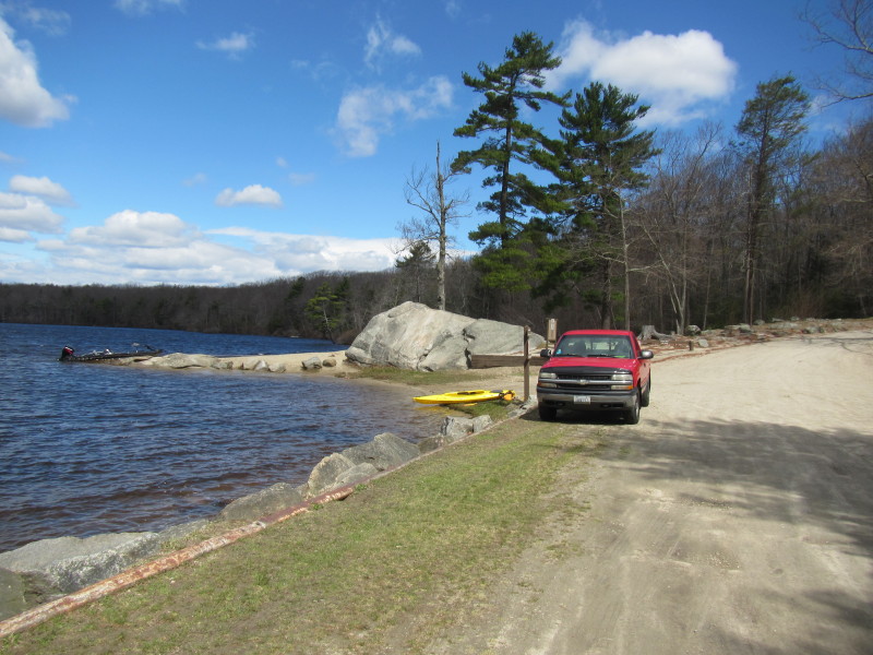 Bowdish Reservoir boat ramp.
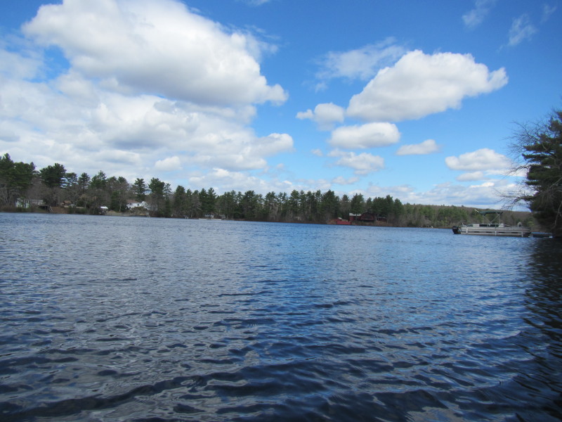
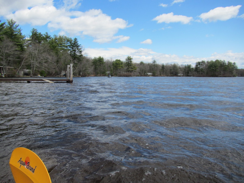
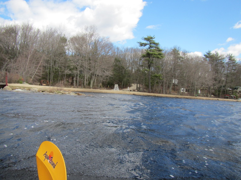
 Just launched at Bowdish Reservoir. Paddled to my left and will
circle Bowdish Reservoir counter-clockwise. 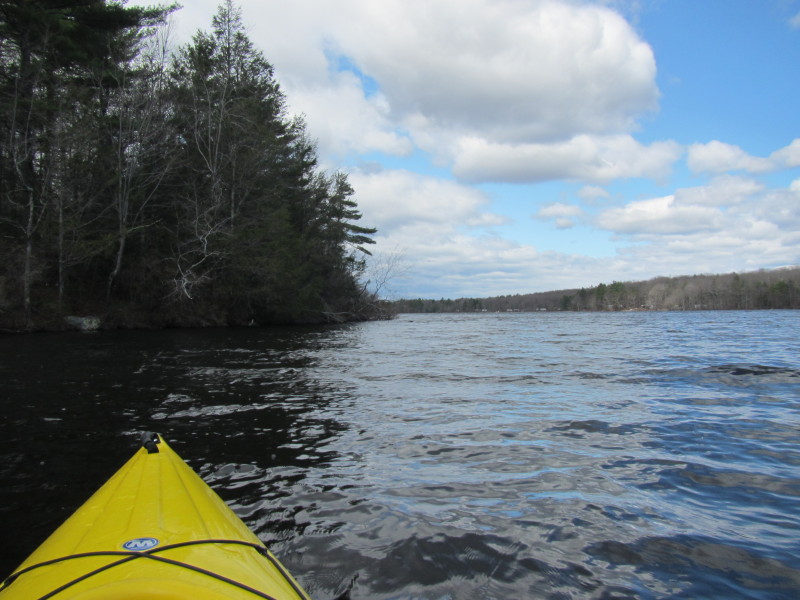
 Looking to my right, the launch area.
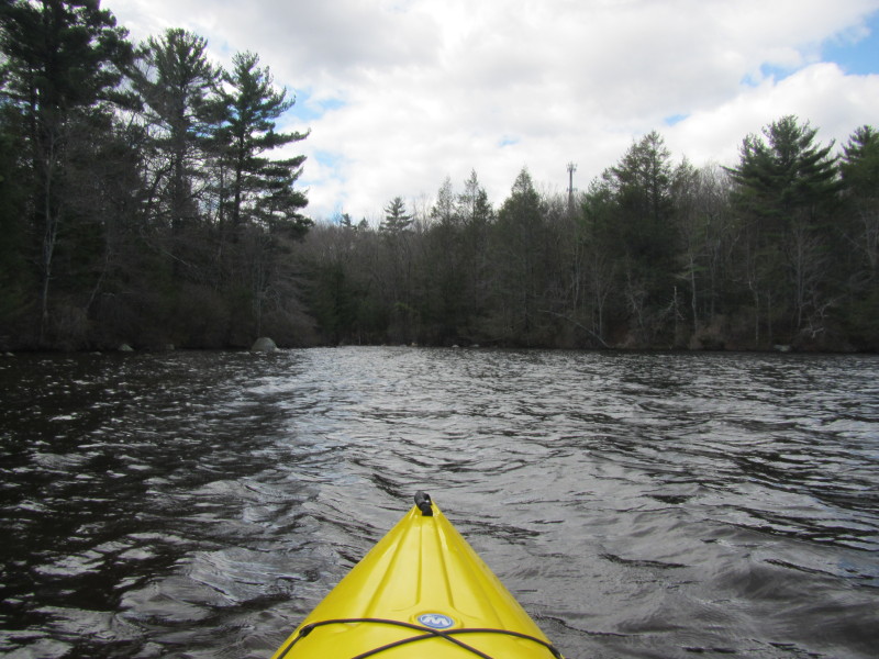
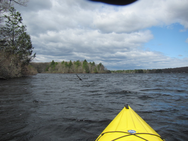
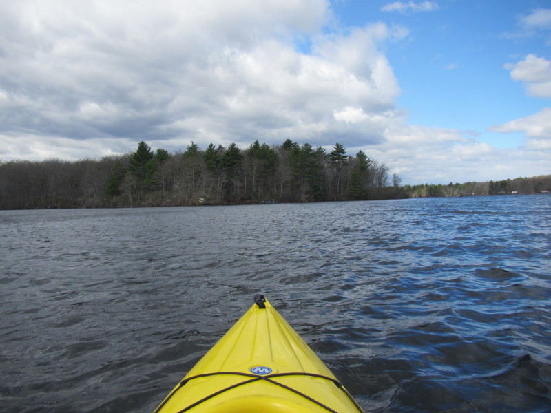
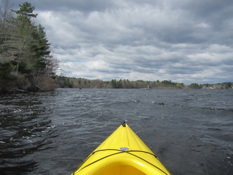
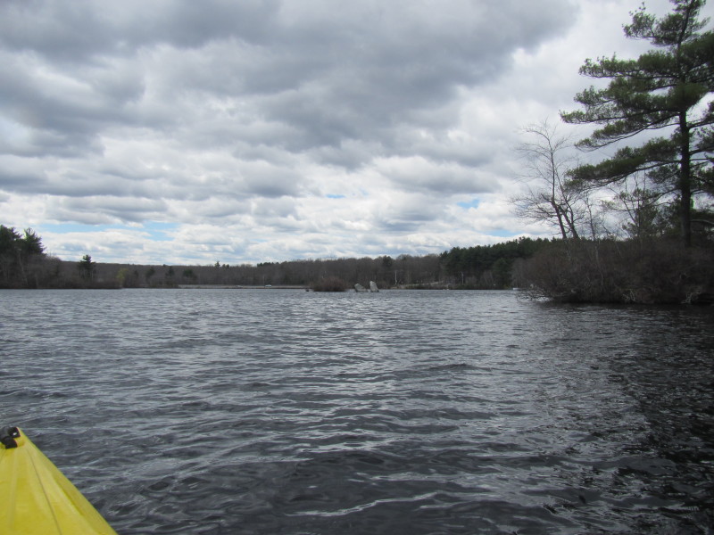
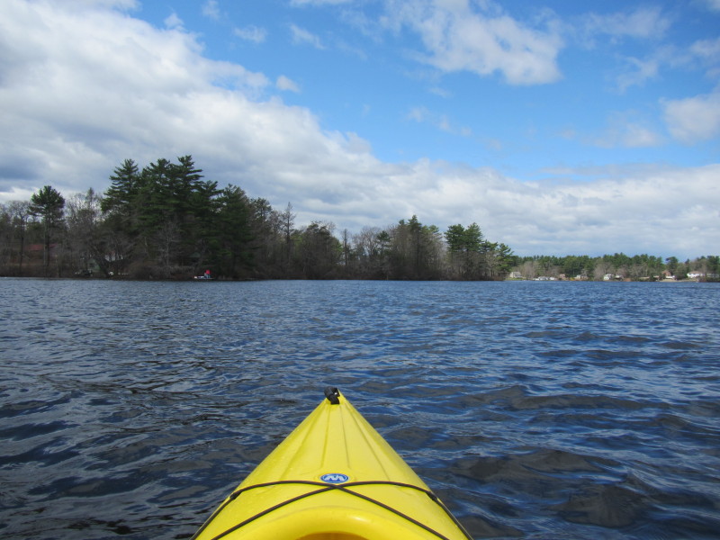
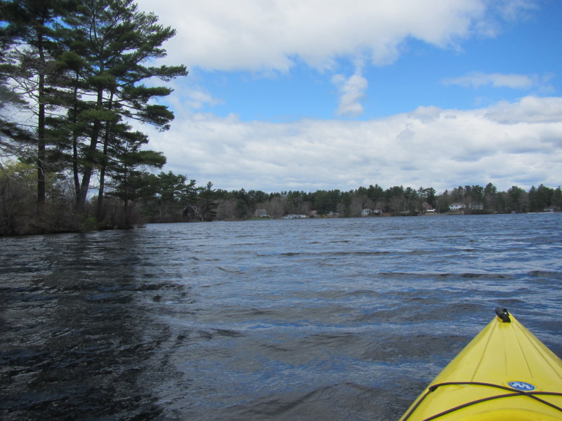
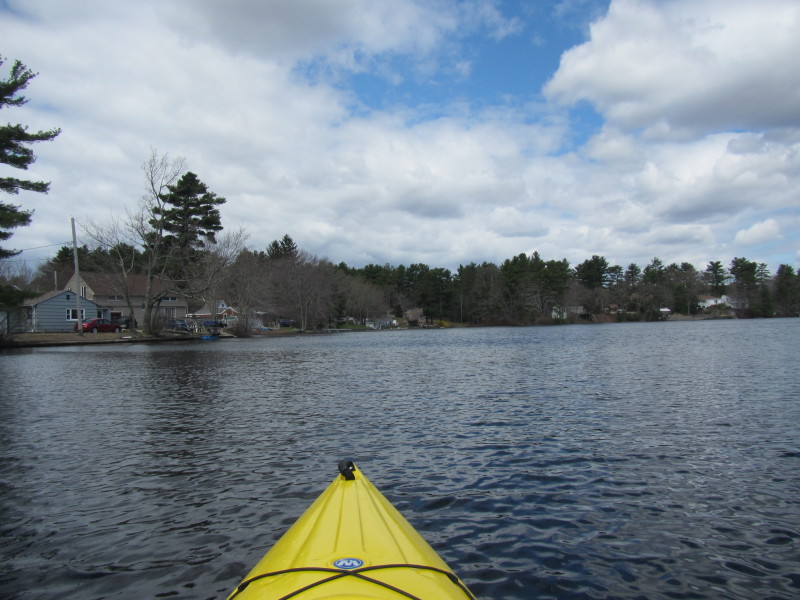
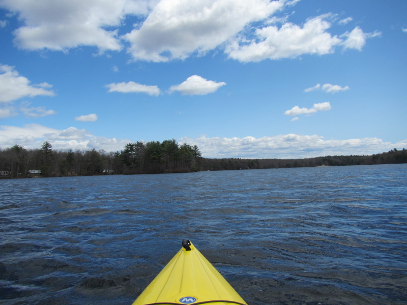
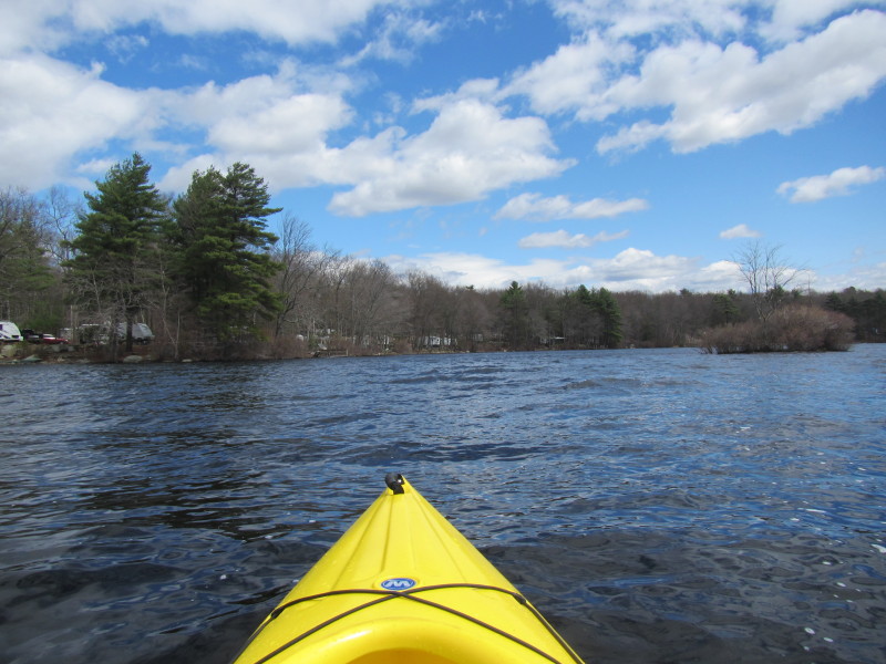
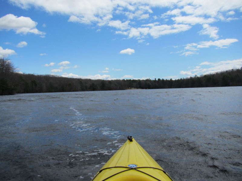
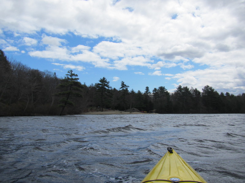
 Continuing my westward direction on the southern coast of Bowdish Reservoir.
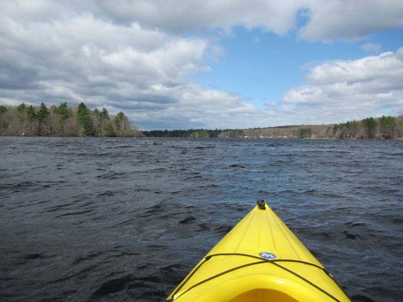
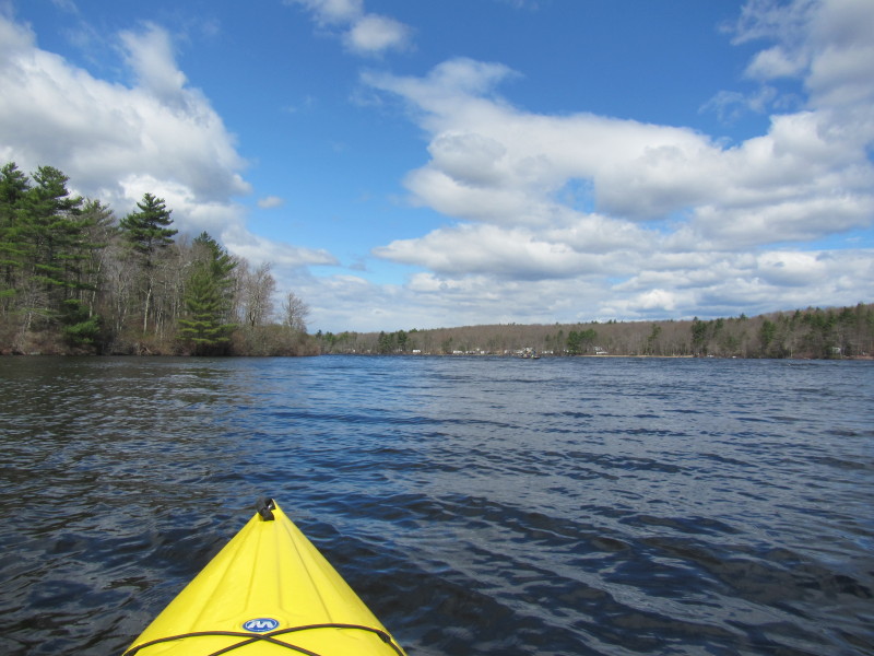
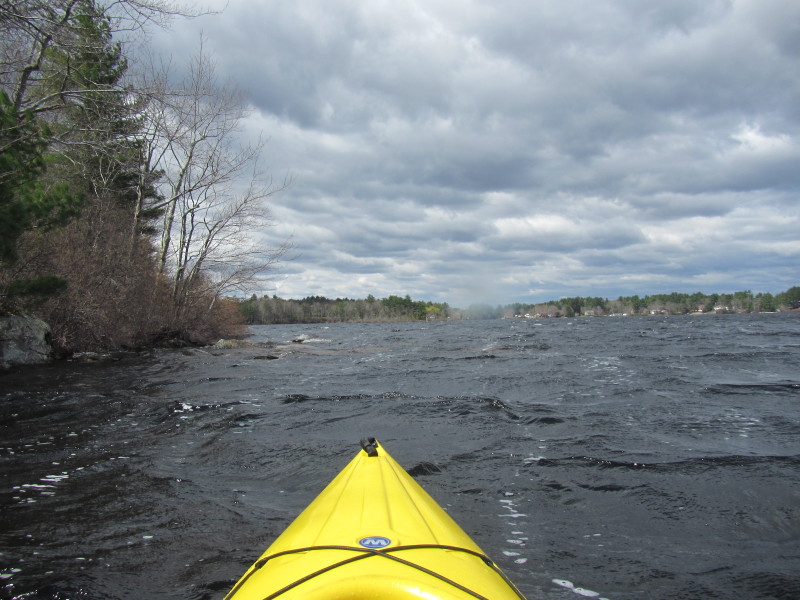
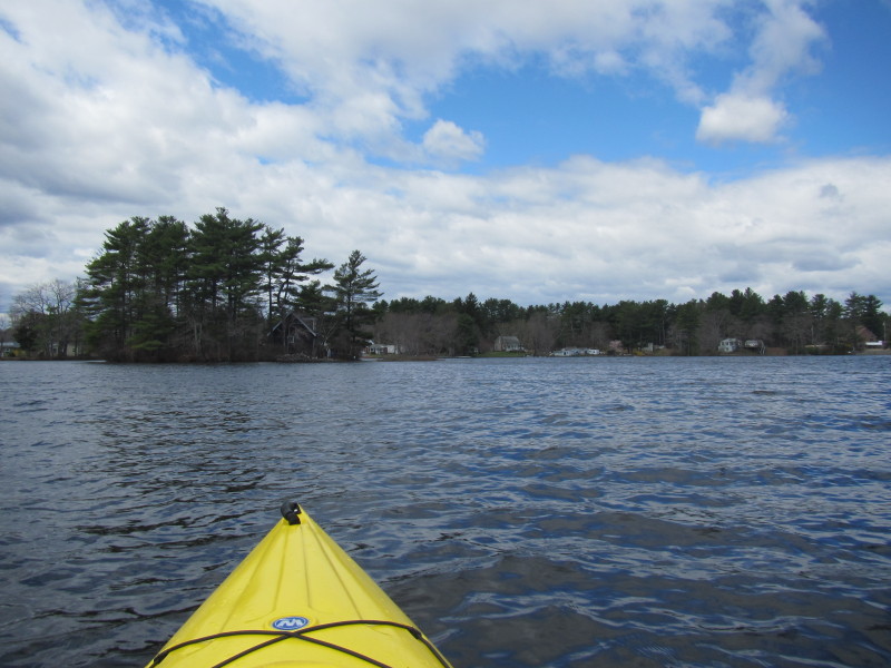
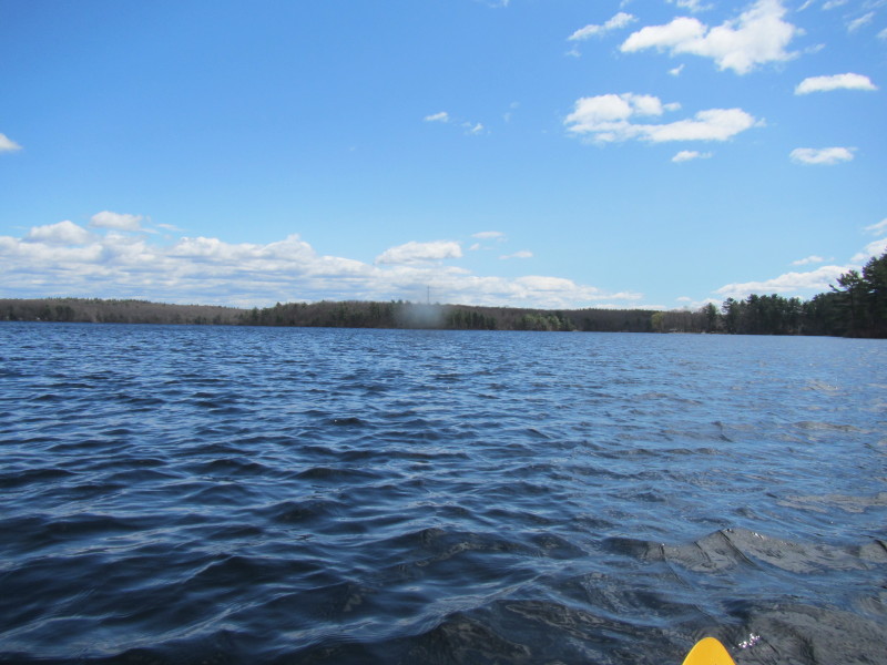
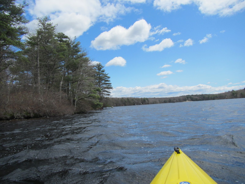
 Strong winds on my face make the waters choppy.
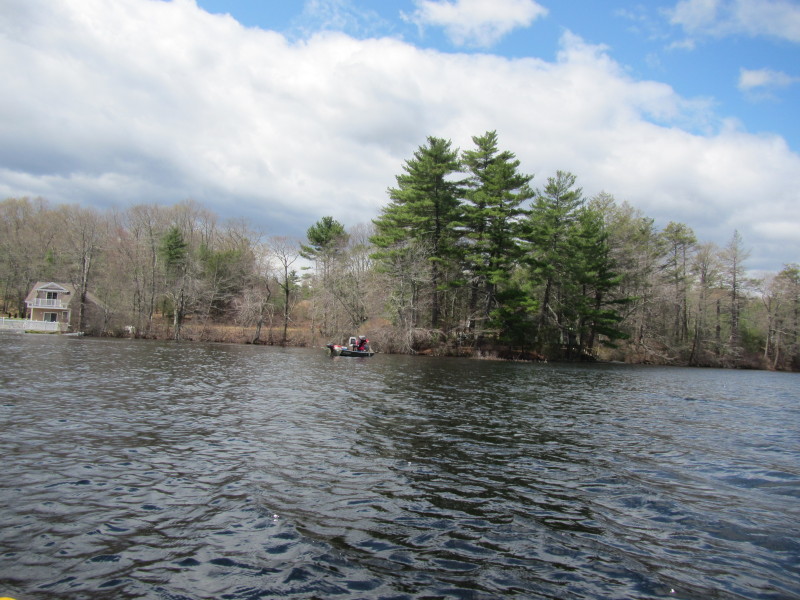
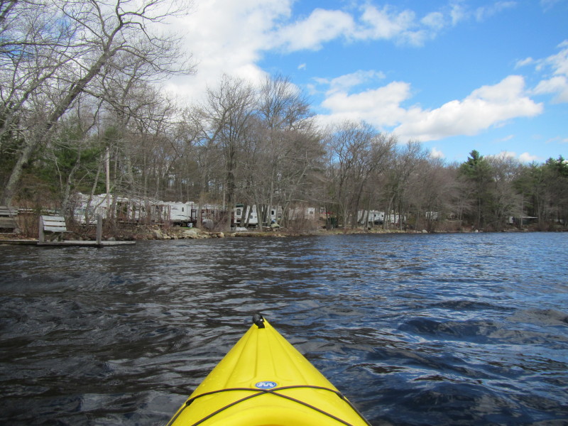
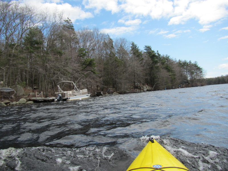
 A calmer cove on my right has 4 fishing boats.
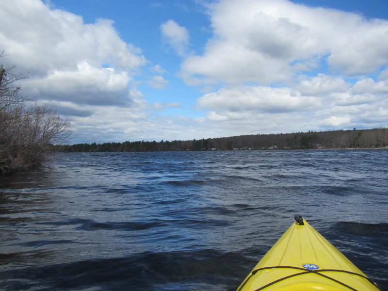
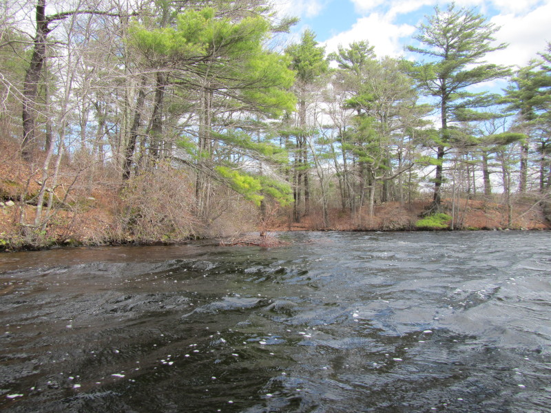
 I am cutting-cove and heading straight skipping this cove on my left.
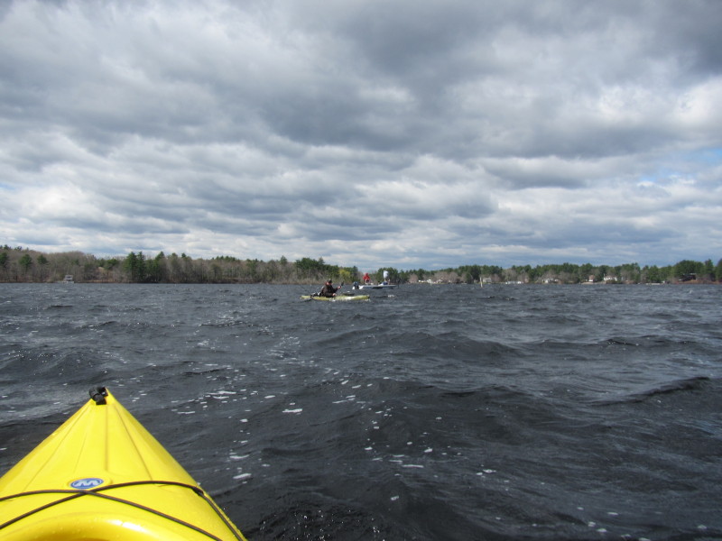
 Another kayaker.
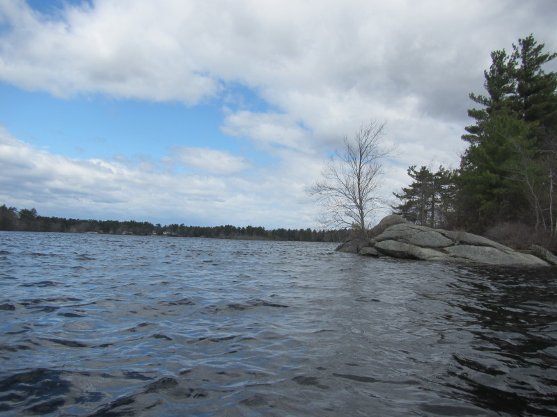
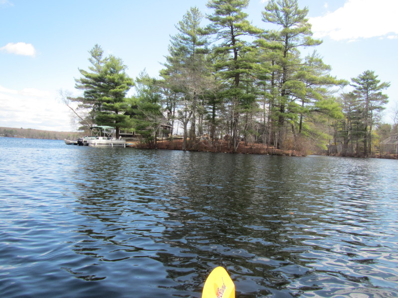
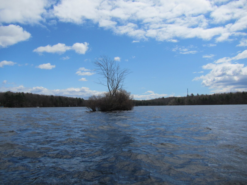
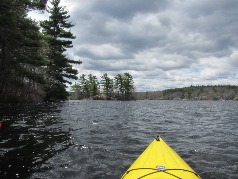 An island on Bowdish Reservoir.
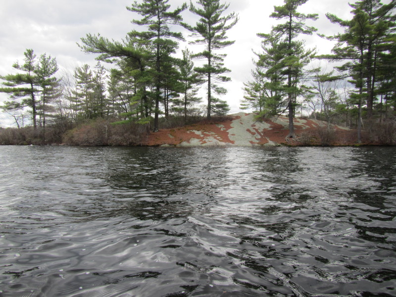 Painted on the inhabited island's rock: "KEEP OUT"
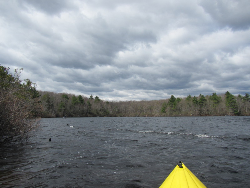
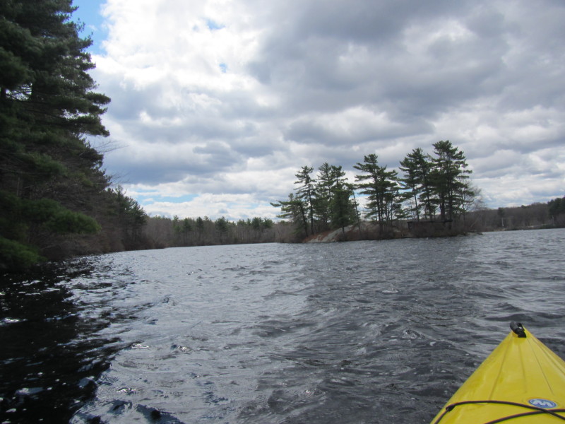
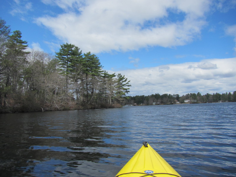
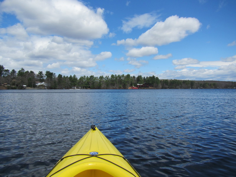
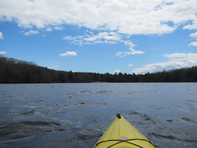
 Continuing on my counter-clockwise direction.
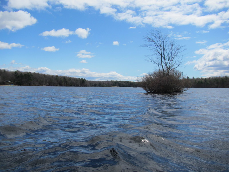
Route 44 in front of me. 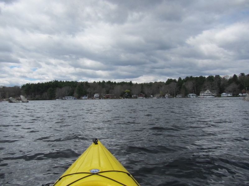 I am circling the same island earlier now on my right.
To my left is the cove east of Any Acres Drive.
I am circling the same island earlier now on my right.
To my left is the cove east of Any Acres Drive.
 On my right is the other side of the keep-out island.
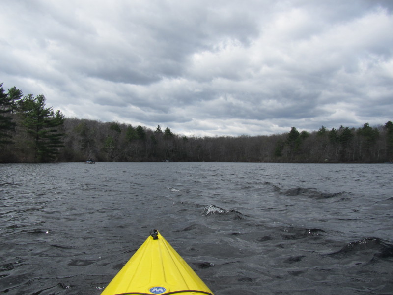
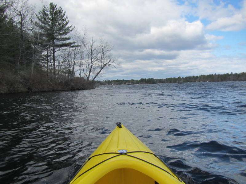
 I will cut-cove again and will skip this cove on my left.
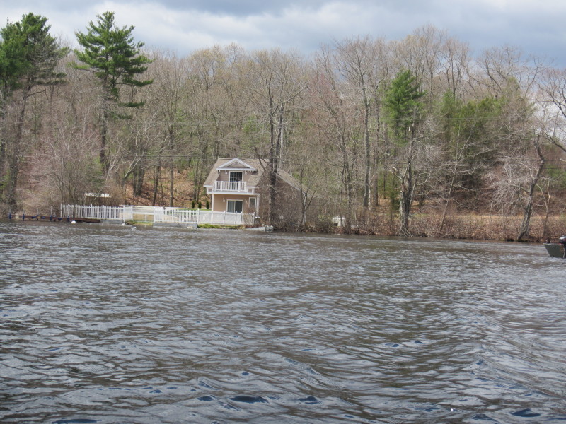
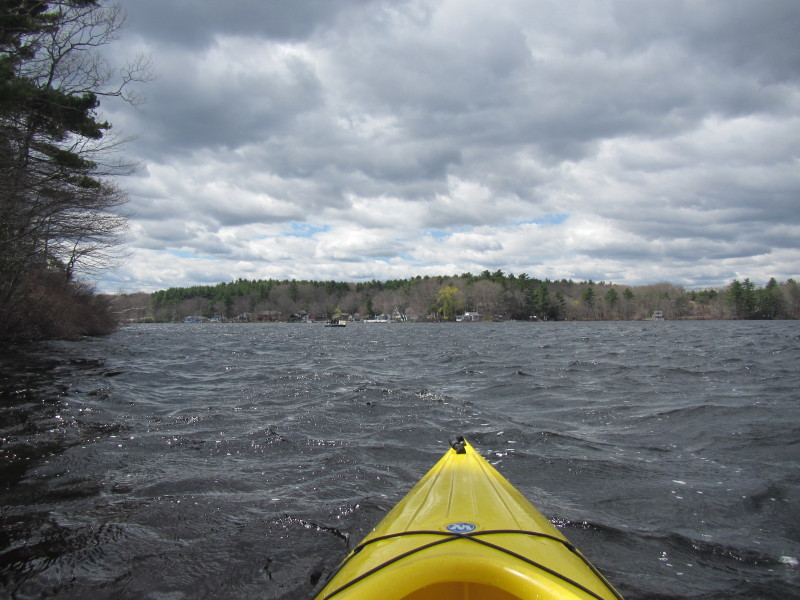
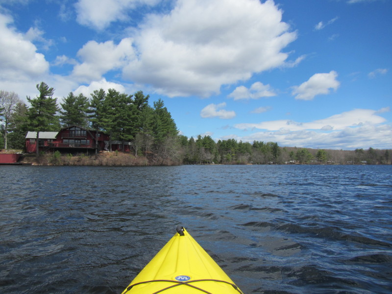
 Another inhabited island on Bowdish Reservoir.
 This island is inhabited . . .
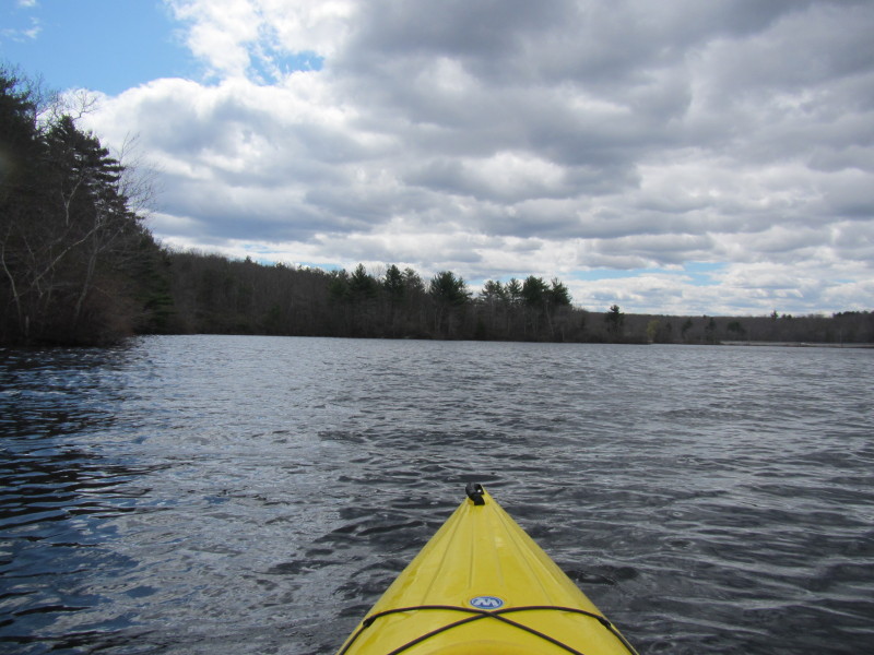
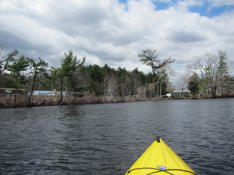
 I am now paddling northwards at the western end of Bowdish Reservoir.
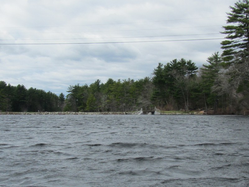 Looking at my left is the Bowdish Reservoir Dam.
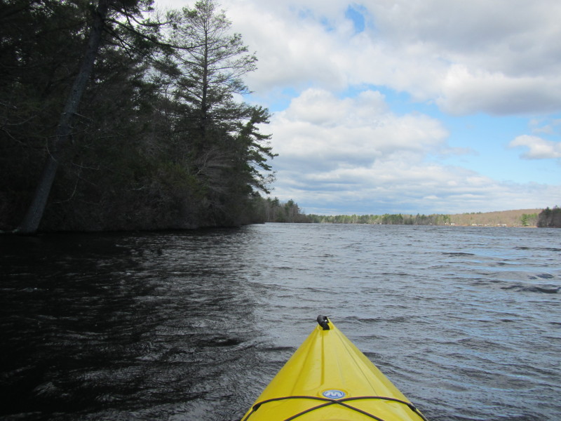
 Continuing my counter-clockwise direction, I am now paddling eastward
along the northern shore.
Continuing my counter-clockwise direction, I am now paddling eastward
along the northern shore.
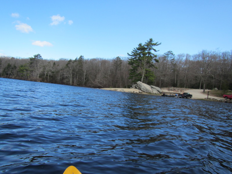
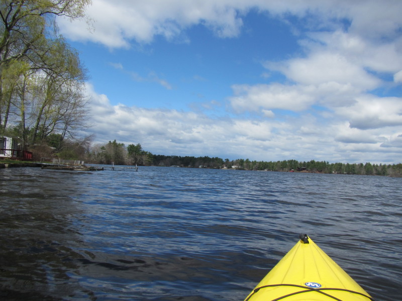
 I can see that final destination that whitish landing area.
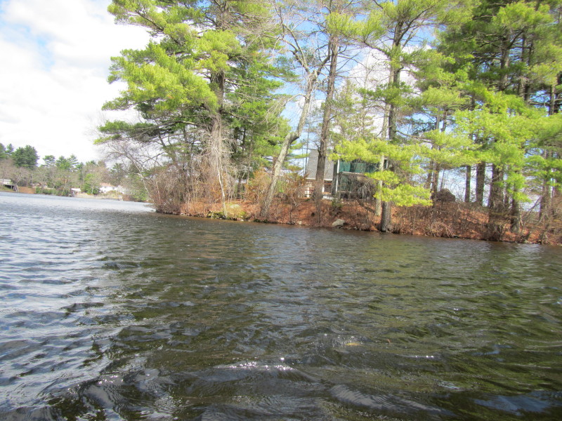
 On my left is a small beach cove with a life guard chair.
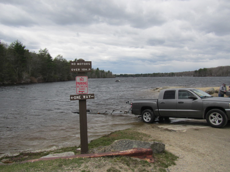
 Now on my final stretch to get to where I started, the launch area is directly in front of me.
 I was paddling for 1 hour and 5 minutes.
|