 Kayaker

|


|
Download printer-friendly
PDF version that fits in one page: |

|
|
Other resources:
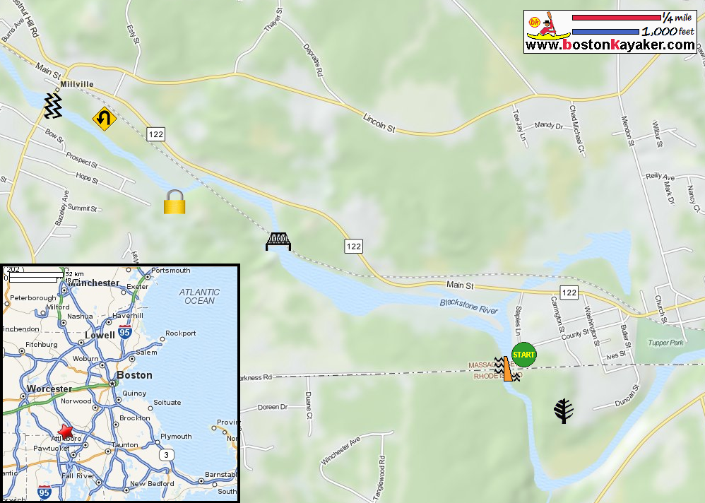
Blackstone River Guide: Blackstone Gorge to Milville Lock Blackstone River Guide: Blackstone Gorge to Milville Lock (cached copy) National Park Service: Blackstone River Valley Mass. DCR: Blackstone River and Canal Heritage State Park All photos in this website are original and copyrighted. 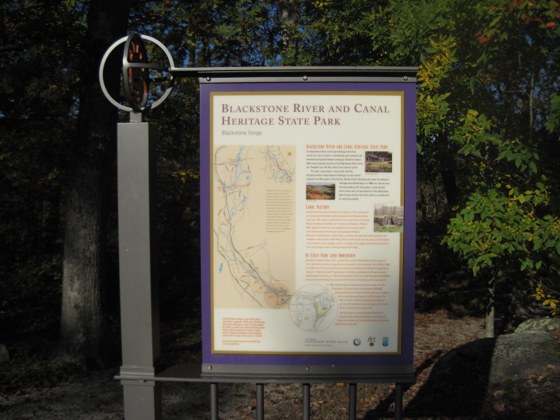 On this pleasant saturday in October 2011, the plan is to launch here
in Blackstone Gorge, paddle upriver to Milville Lock, and return.
On this pleasant saturday in October 2011, the plan is to launch here
in Blackstone Gorge, paddle upriver to Milville Lock, and return.
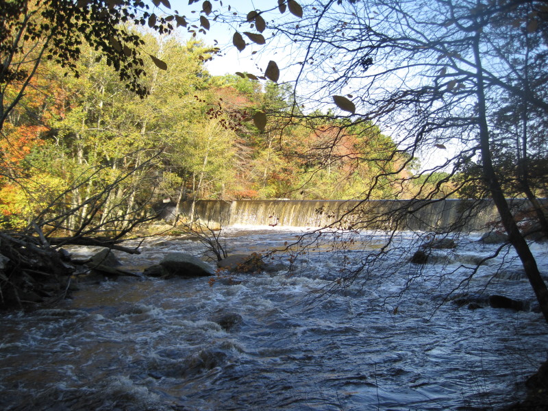
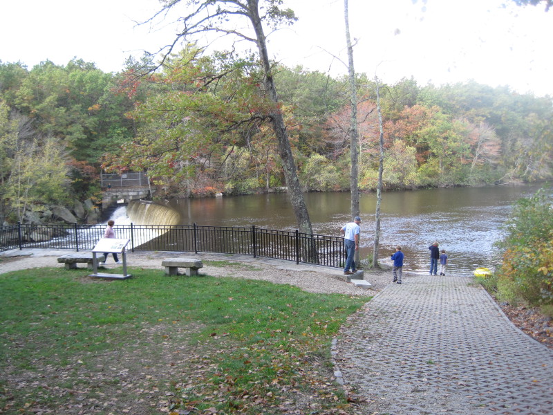
At the Blackstone River and Canal Heritage State Park. October 2011. (Not the one-way trip in the map above). 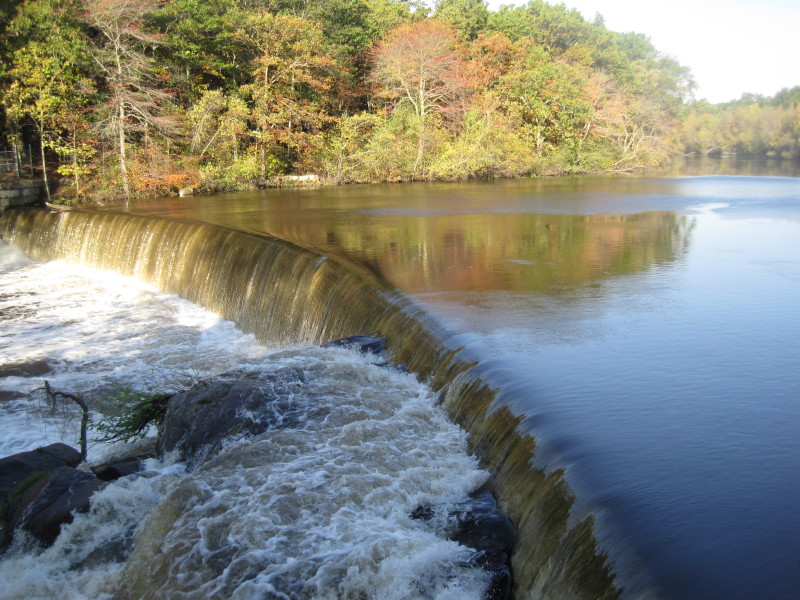 The Rolling Dam on mighty Blackstone River in Blackstone MA.
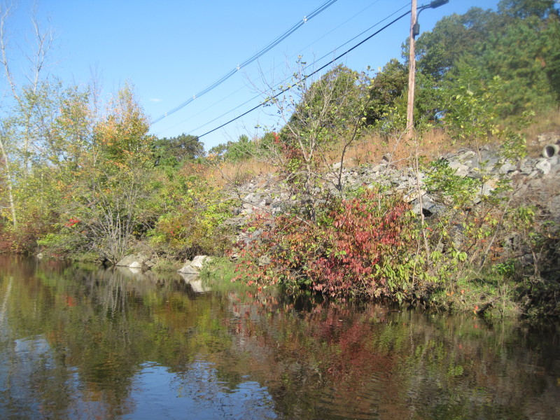
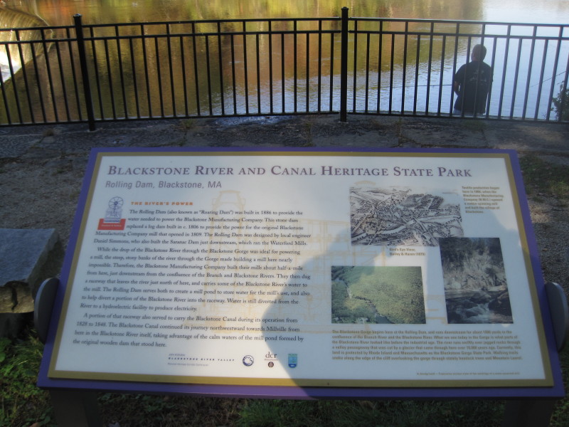 The Blackstone Gorge is part of the bigger Blackstone River and Canal Heritage State Park.
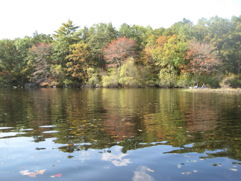
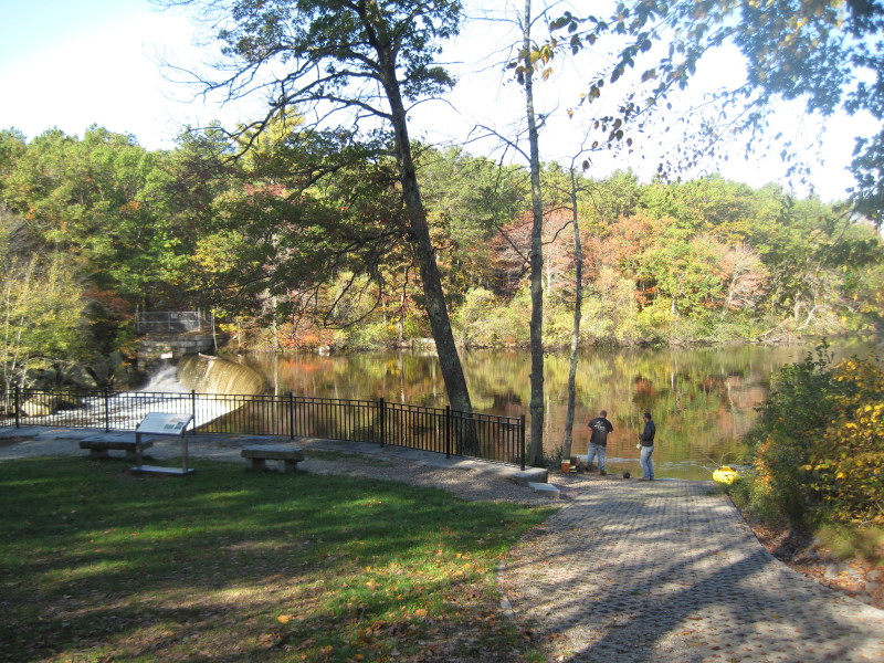 2 fishermen. One of them offered to push me to launch and saved me from getting my feet wet.
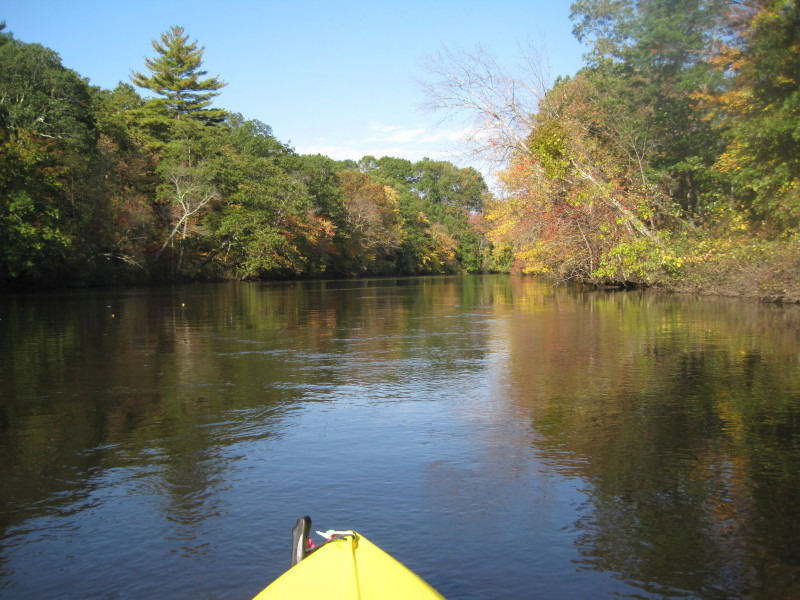
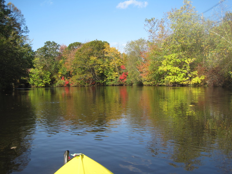
Those black railings will be my visual marker that I will home to when I paddle back.  I paddle fast away from the dam. , ,
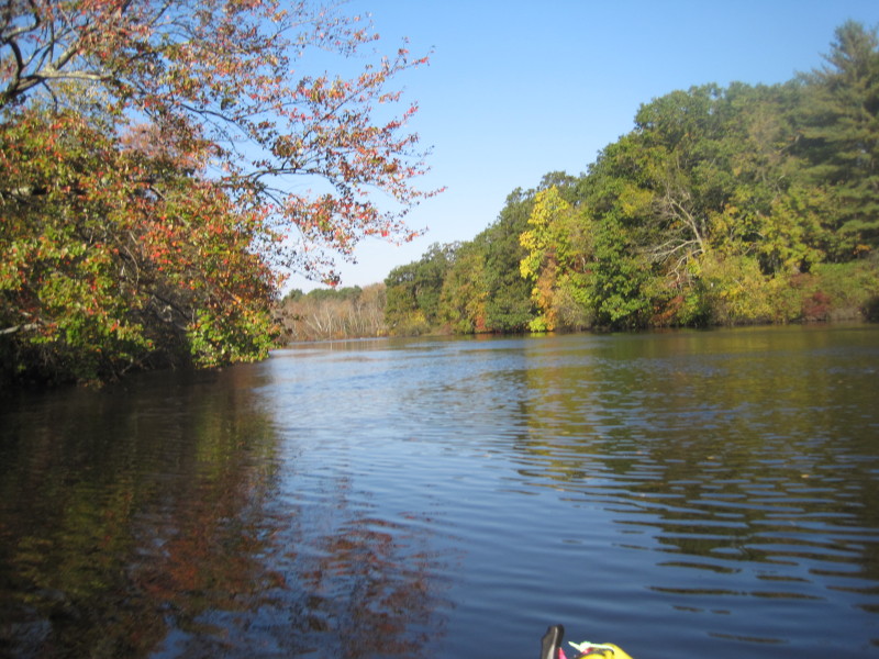
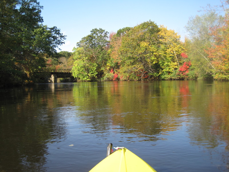
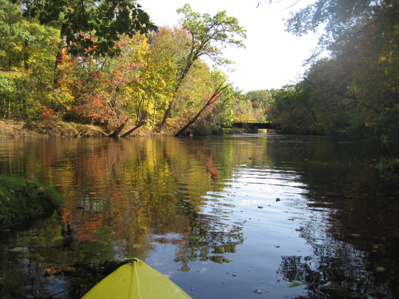
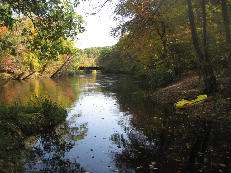
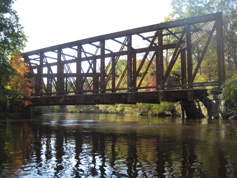
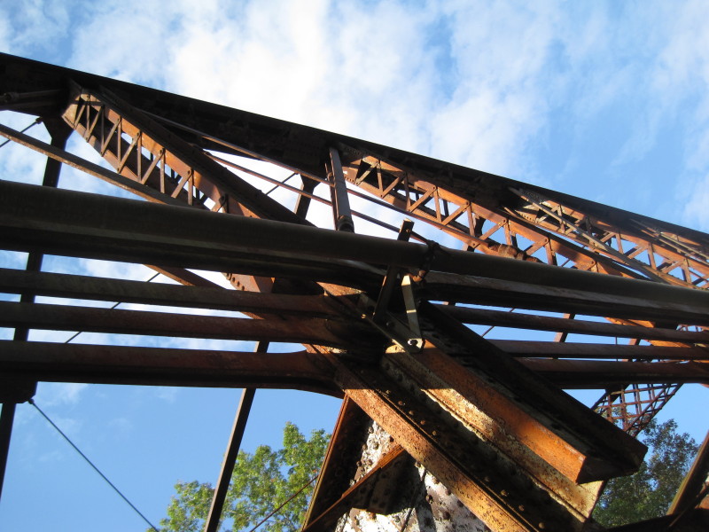
 Coming to the Triad Bridge.
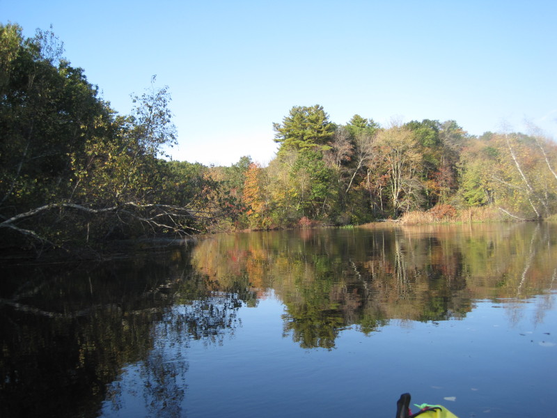
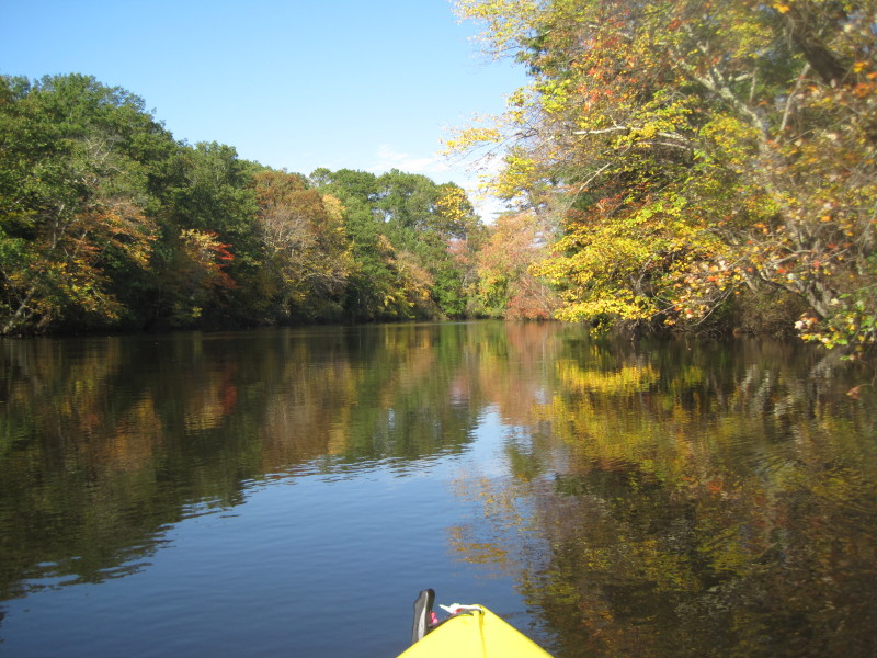
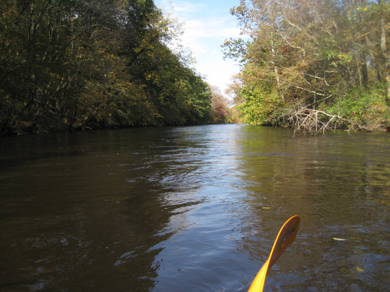
 Route 122 is on my right.
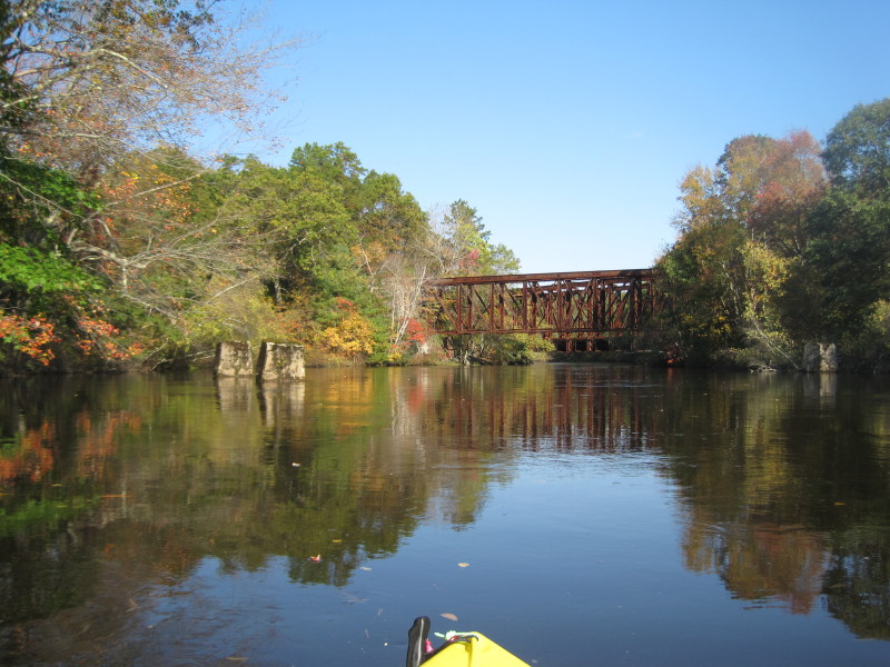
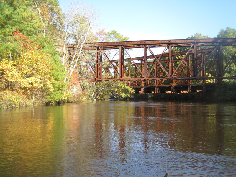
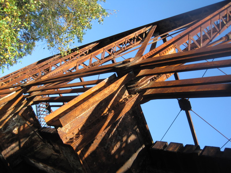
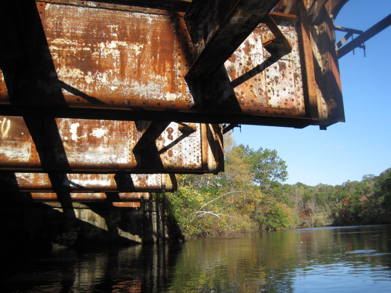
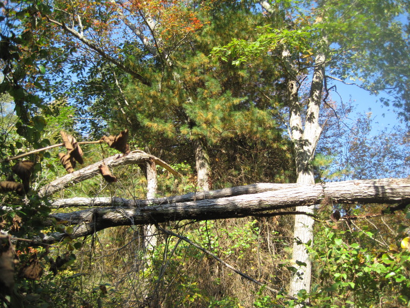
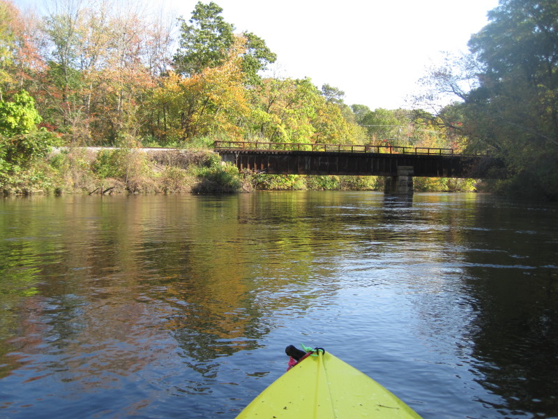
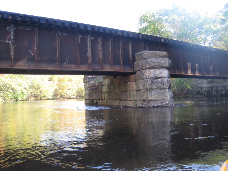
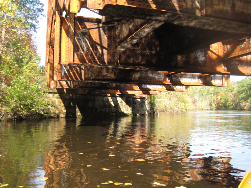
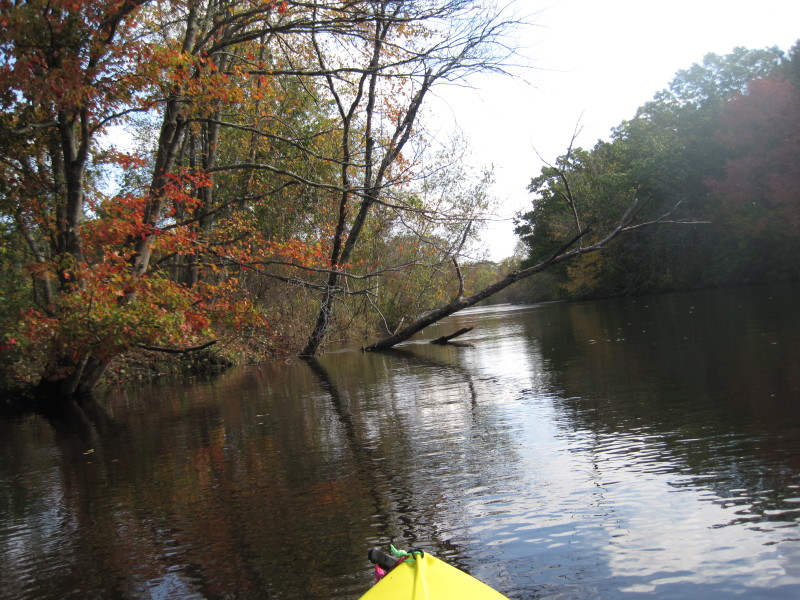
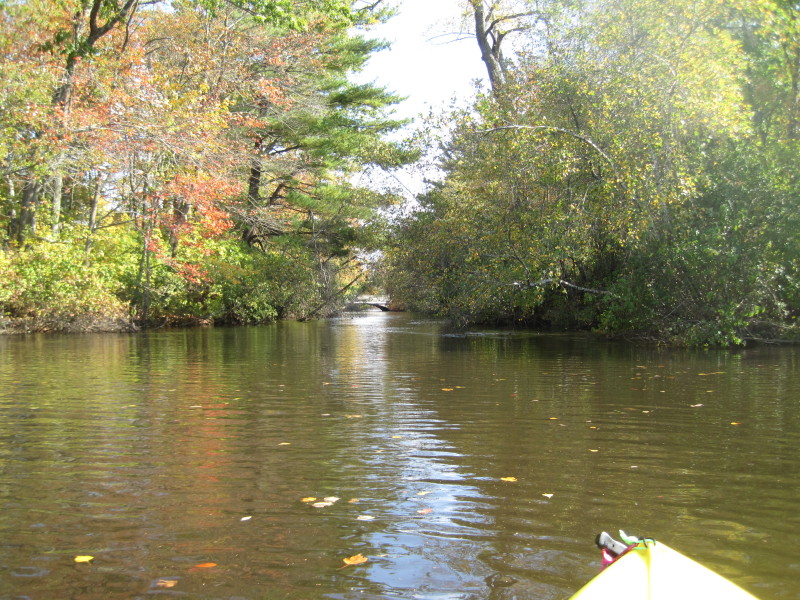
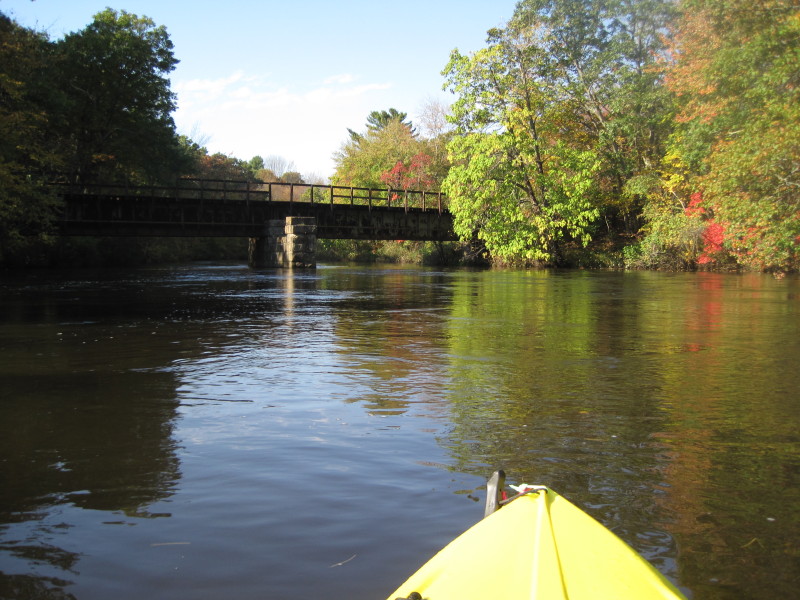 This railroad bridge is not in use and not in the maps.
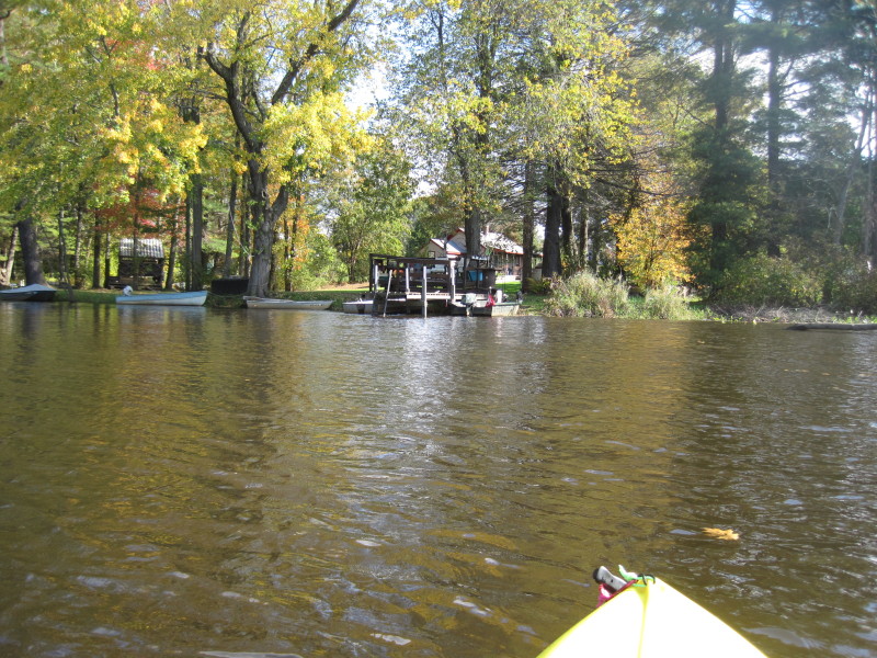
 I am here at the Milville Lock cove taking a refuge from the fast current.
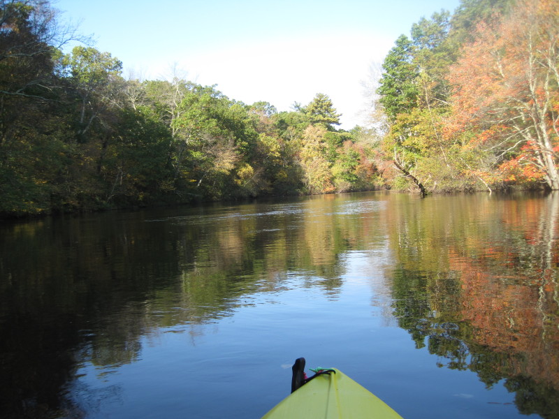
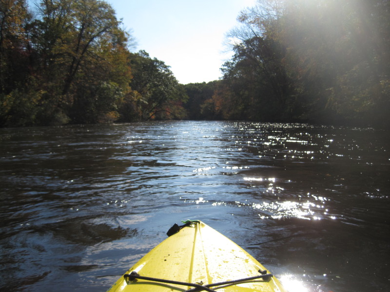
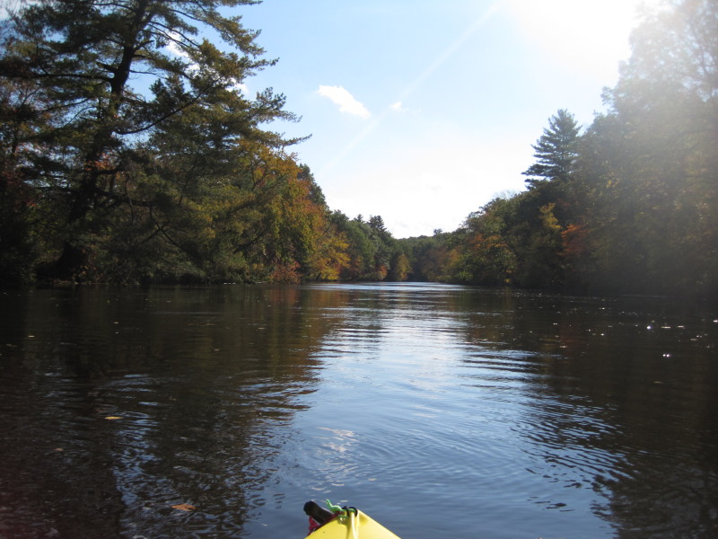
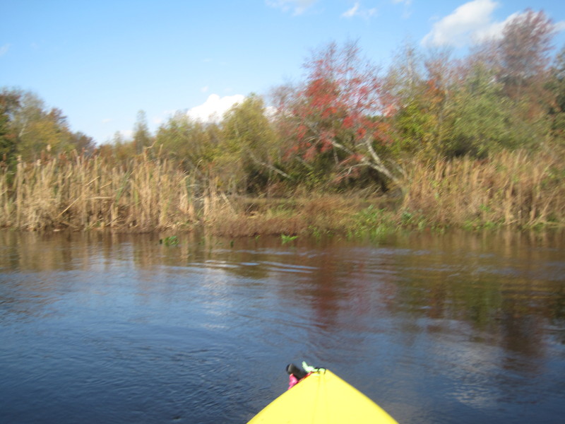
 I went back to the river and tried to paddle farther upriver.
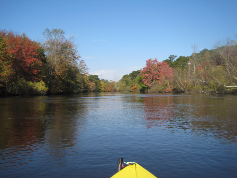
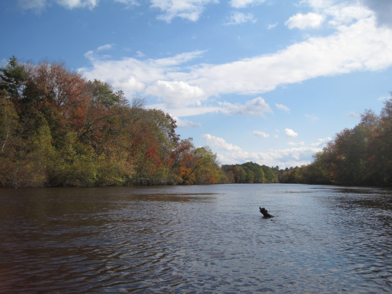
The current is fast flowing after passing the Milville Lock and approaching the bridges in Milville MA,
and I decided to turn around at this point and start my return journey.
I went back to the river and tried to paddle farther upriver.
The current is fast flowing after passing the Milville Lock and approaching the bridges in Milville MA,
and I decided to turn around at this point and start my return journey.
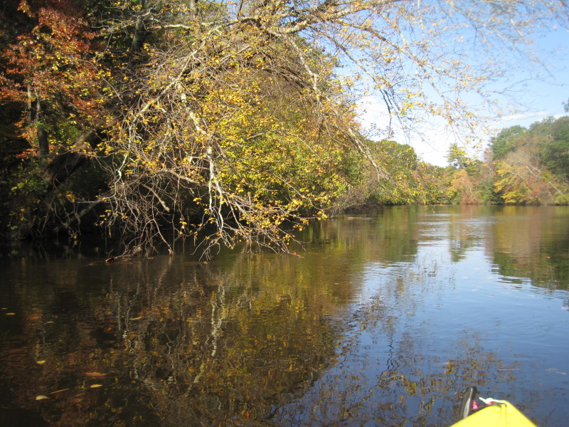
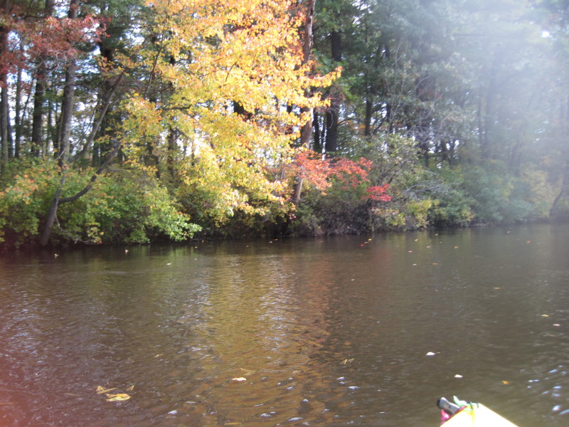
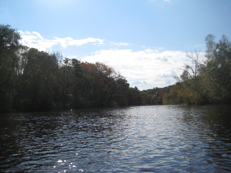
 I am now paddling a lot more leasurely with the river flow going back to where I started at the Blackstone Gorge.
 I went back into the Milville Lock cove, beached, and this time I got out of my kayak.
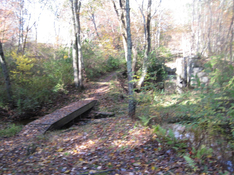
This is the footbridge over a creek.
I went back into the Milville Lock cove, beached, and this time I got out of my kayak.
This is the footbridge over a creek.
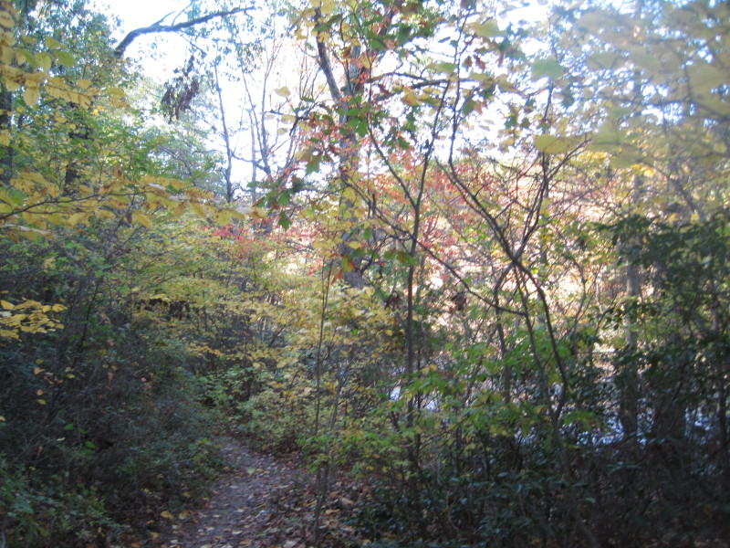
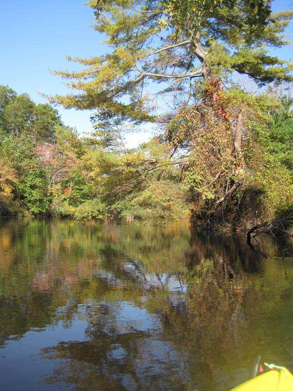
 I walked over the footbridge, and looking south downriver.
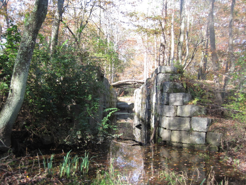 Milville Lock
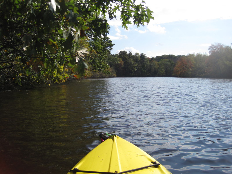
 Back to Blackstone River, paddling with the flow to the gorge.
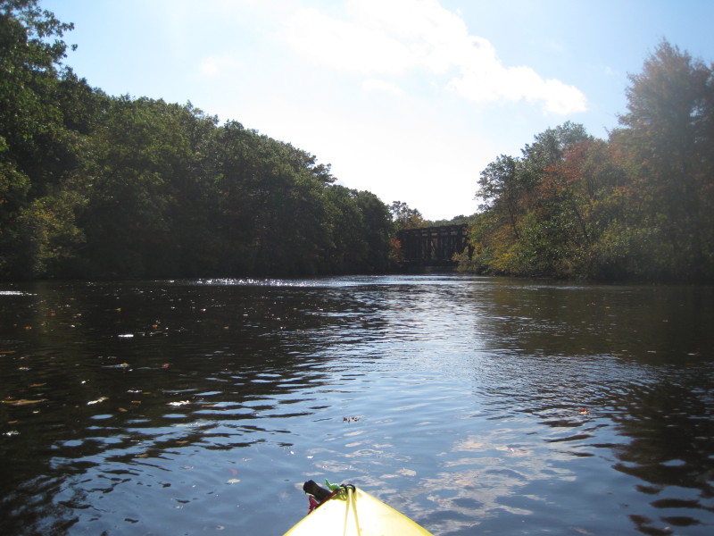 The Triad Bridge again.
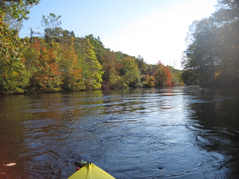
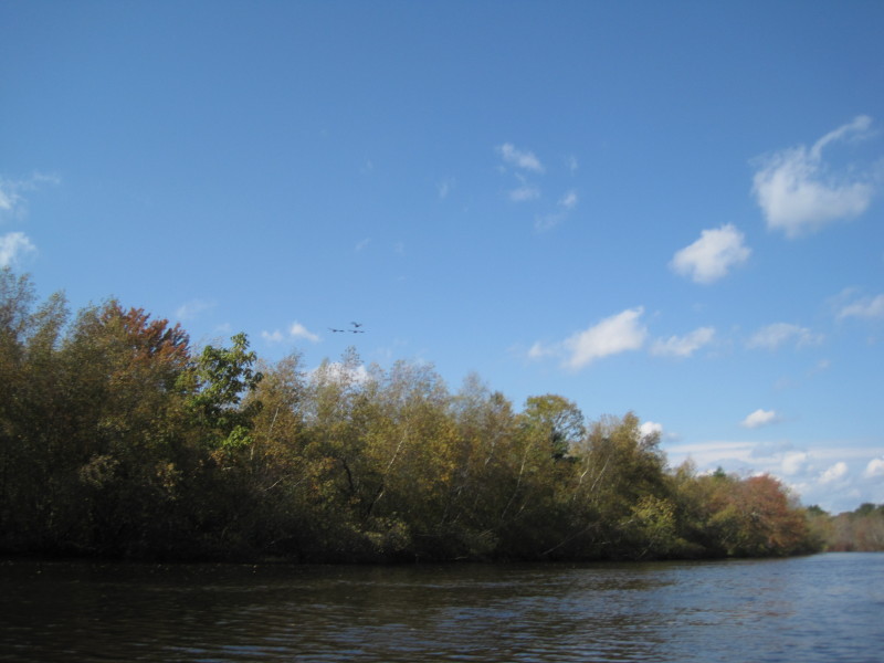
 The river is flowing good and I am just paddling light.
 On my right is a small cove and Route 122 bridge in Blackstone MA.
 Rolling Dam is just in front of me, not visible but I can hear the water falls.
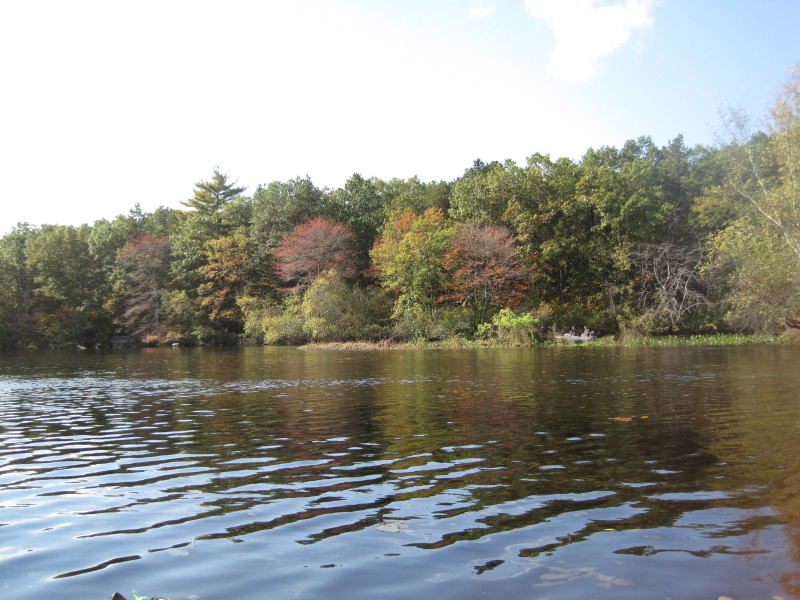
 A pair of fishermen.
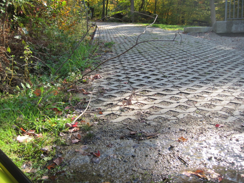 Back at the Black Stone Gorge ramp.
 Black Stone Gorge.
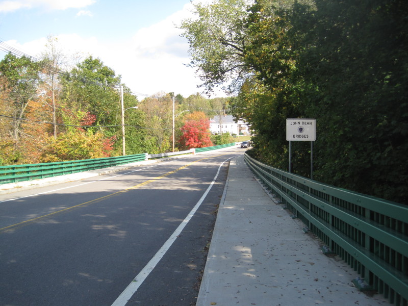 After my kayak trip, I scouted the rapids under the bridges in Milville MA.
The river is split by an island just before the bridges.
After my kayak trip, I scouted the rapids under the bridges in Milville MA.
The river is split by an island just before the bridges.
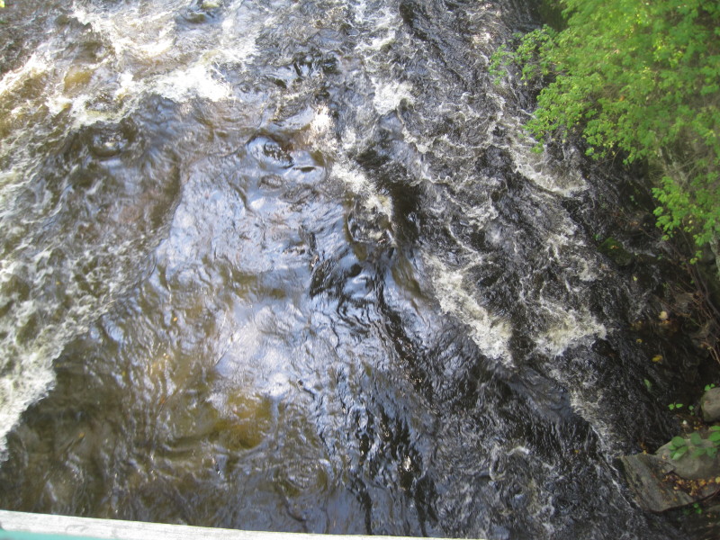 Class II rapids under the southern bridge (right fork).
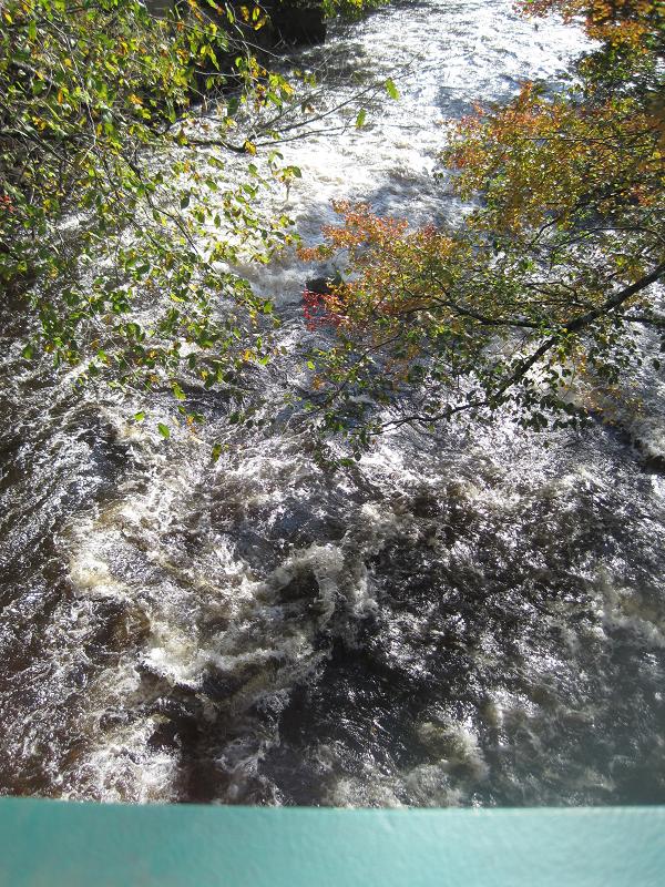
Class III rapids under the northern bridge (left fork). 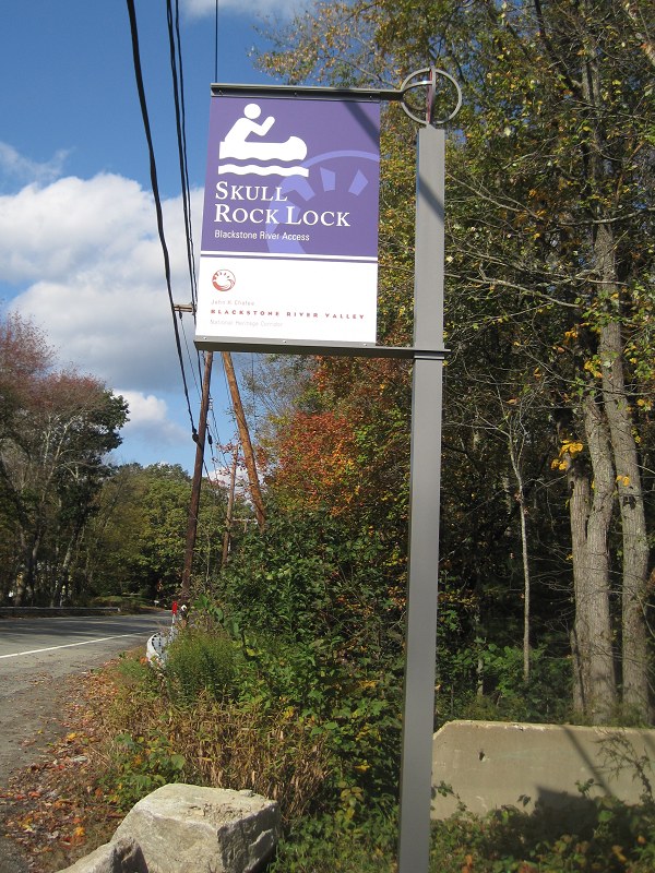
The road marker to the Skull Rock Lock launch site at Route 122 in Uxbridge MA. 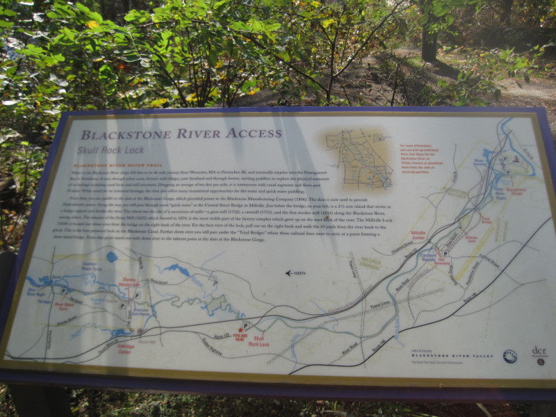
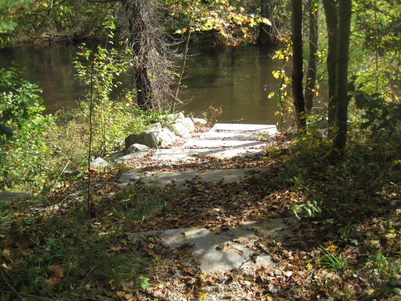 The river access from the Skull Rock Lock launch site.
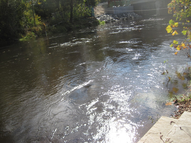 Looking downriver from the launch, the Route 122 bridge.
|