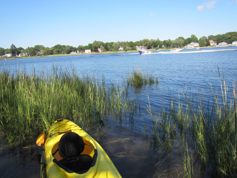
 Kayaker

|


|
Download printer-friendly
PDF version that fits in one page: |

|
|
Other resources:
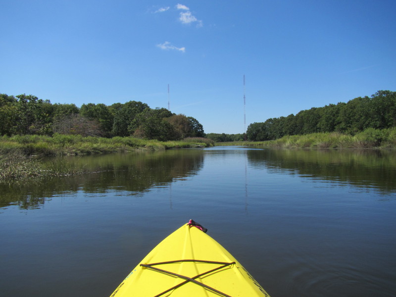
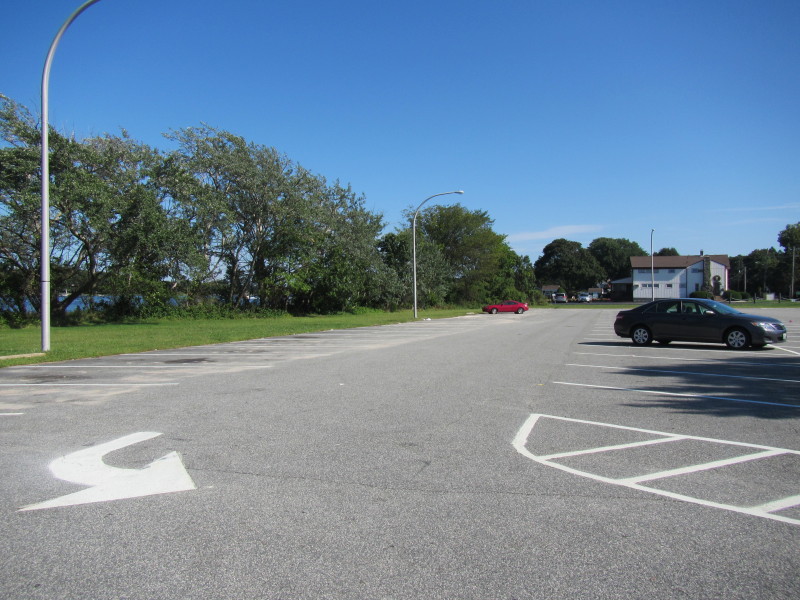
Explore RI's Blueways and Greenways: Barrington River - 100 Acre Cove US Harbors: Tides in Barrington and Warren Rivers Daytripper's Guide: Barrington RI REI Guidepost: Hundred Acre Cove All photos in this website are original and copyrighted. 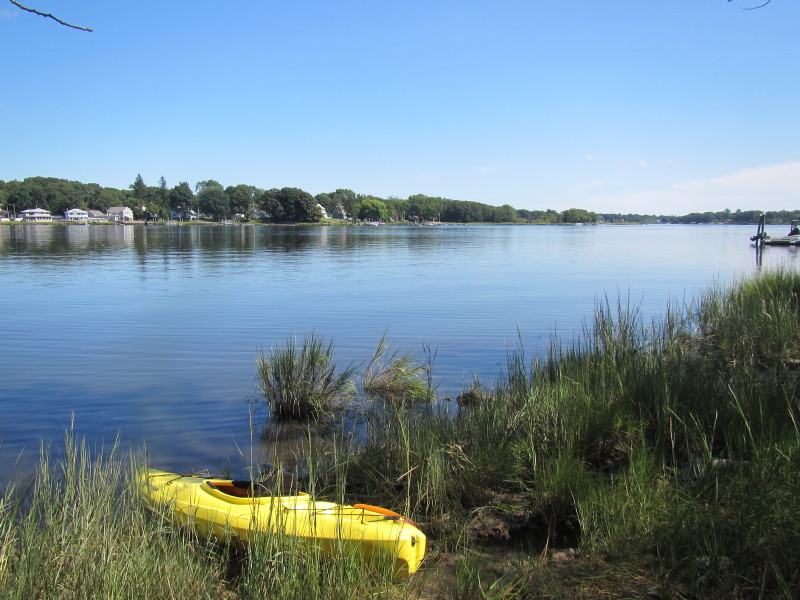 I put in at the commuter rail parking in Barrington RI (designated
as the alternate put in on the map above).
I put in at the commuter rail parking in Barrington RI (designated
as the alternate put in on the map above).
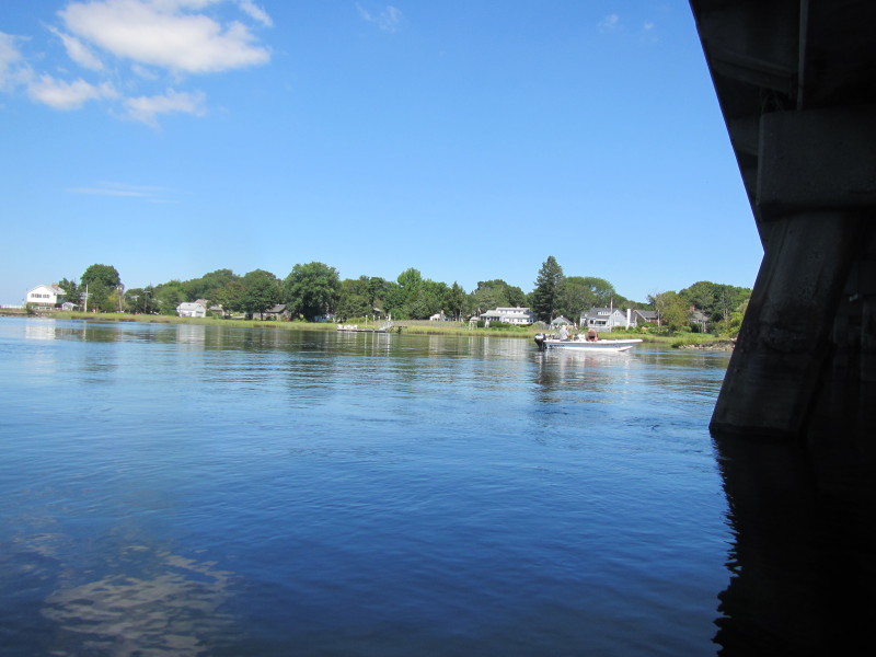
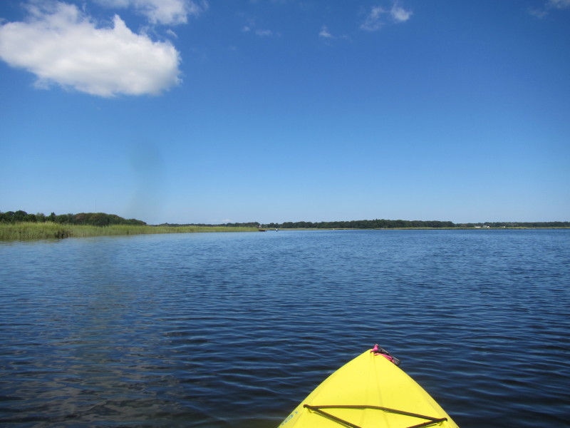
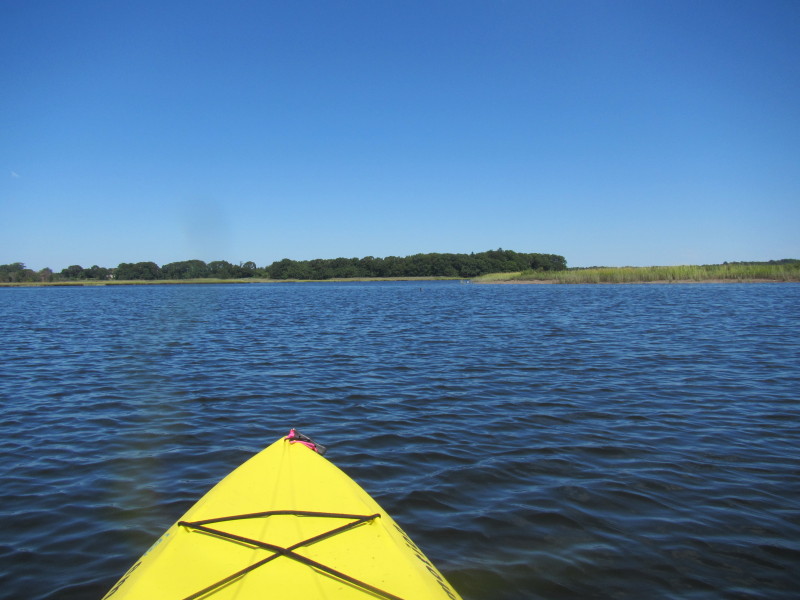
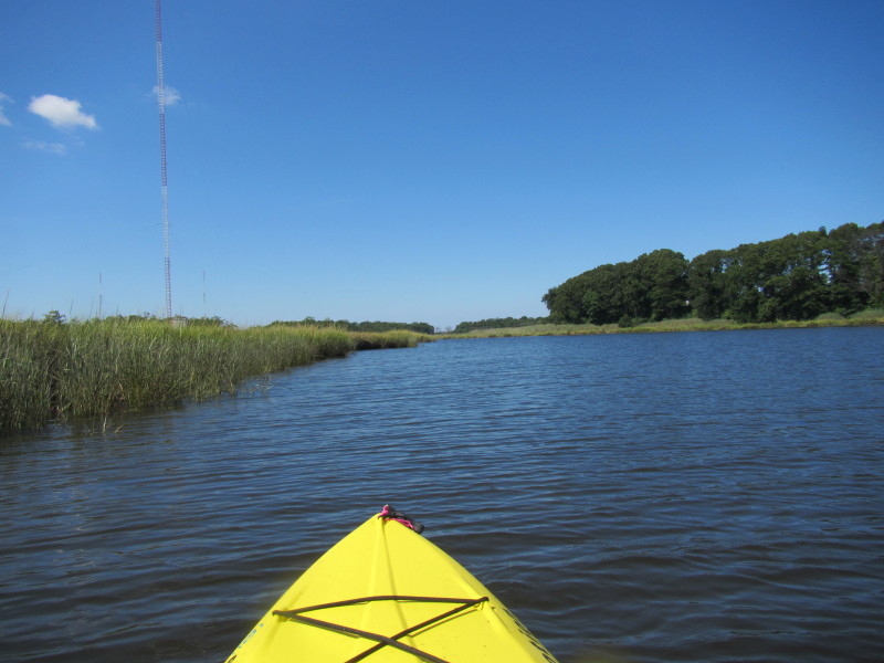
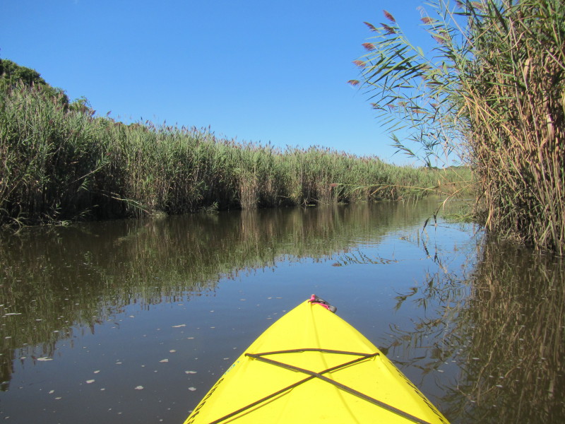
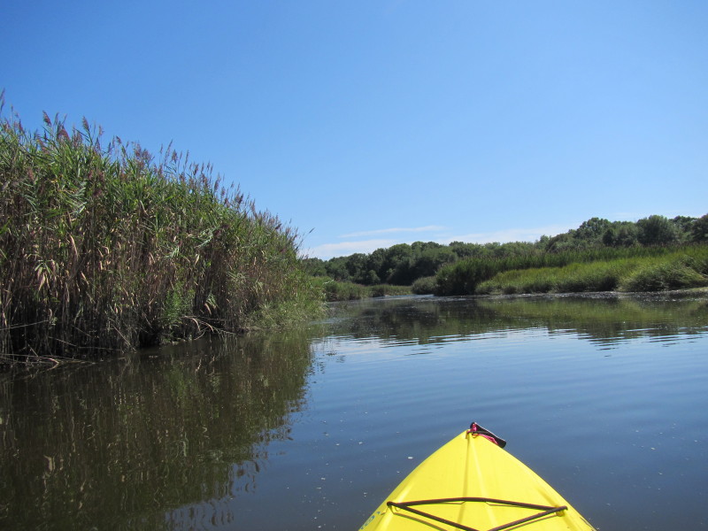
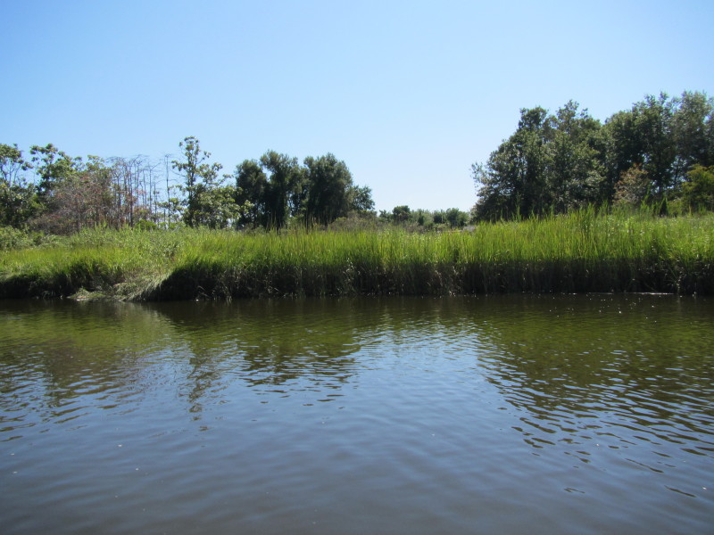
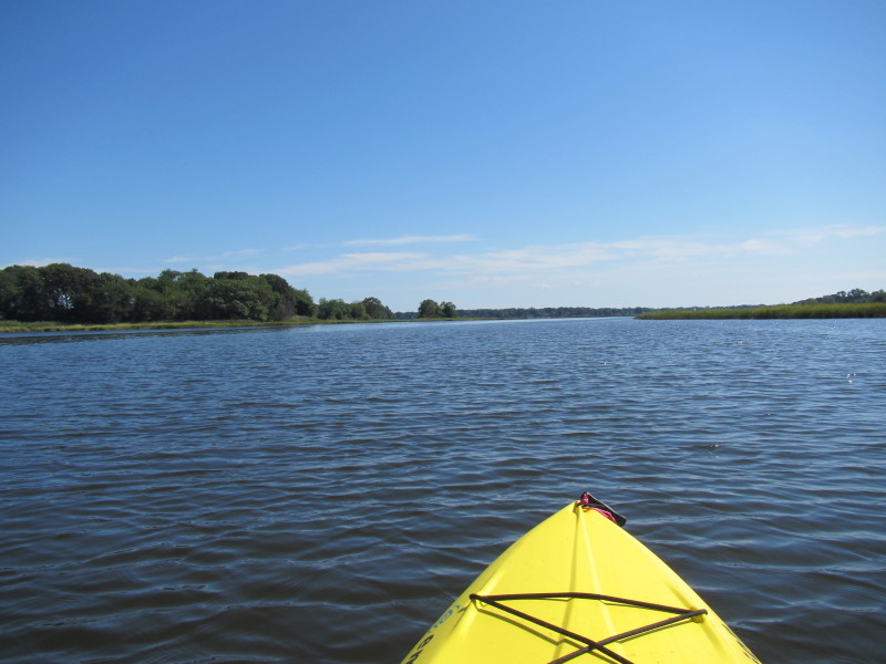
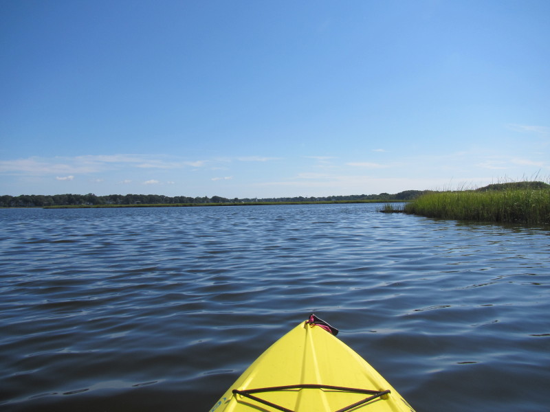
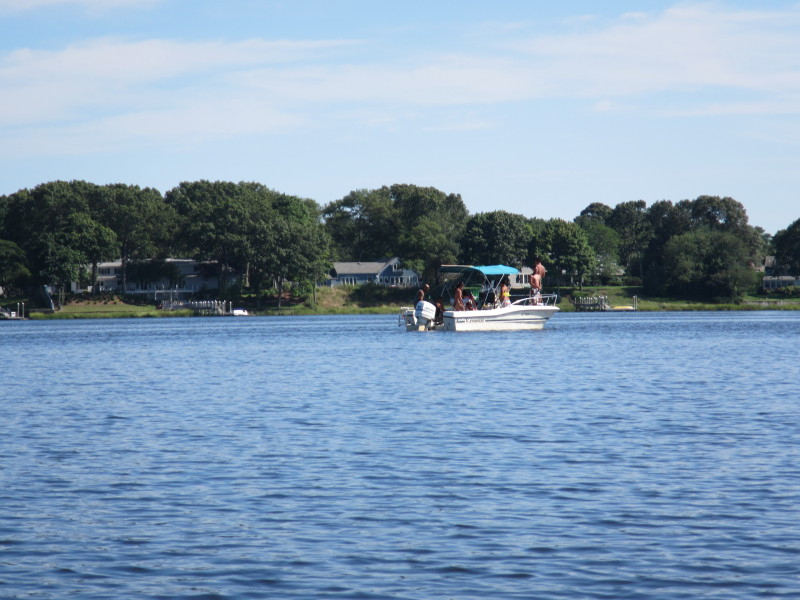
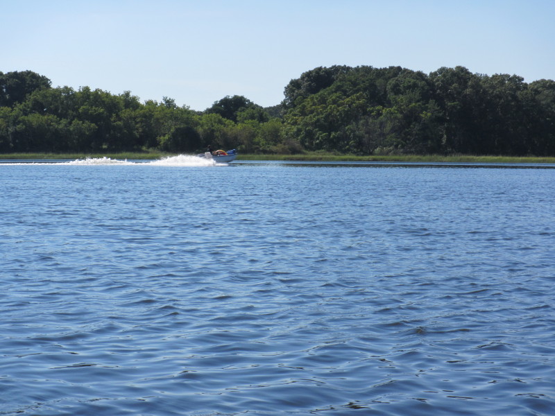
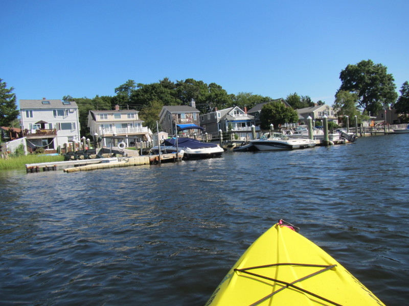
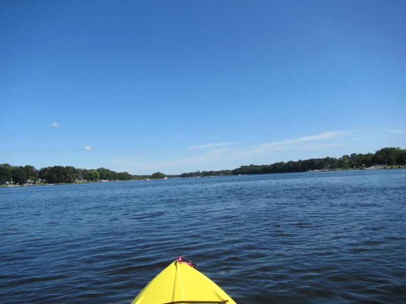
Trip date is August 2012. 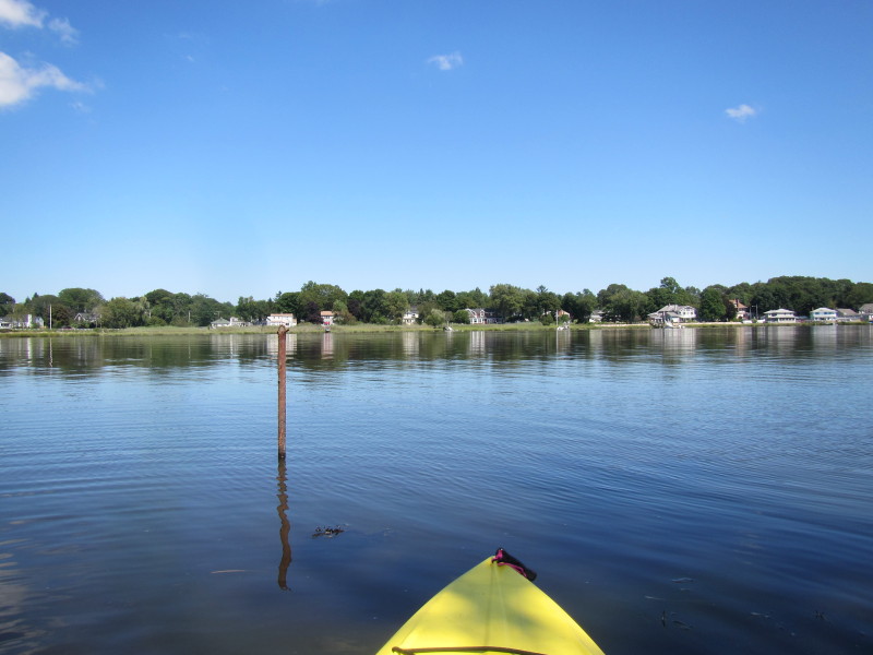 Looking at the east bank across Barrington River.
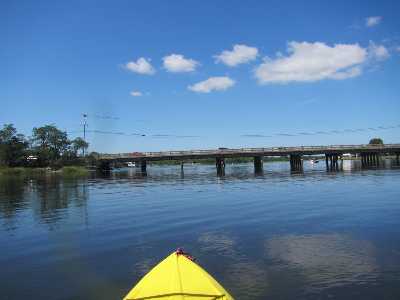
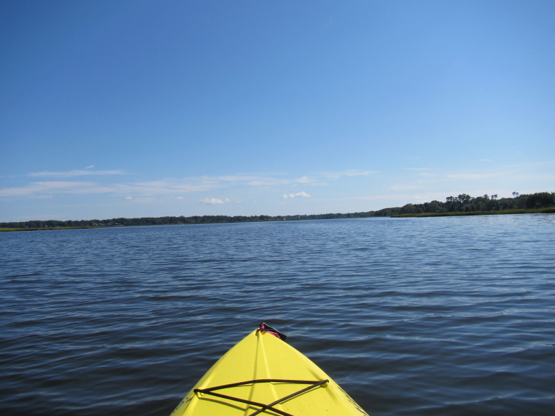
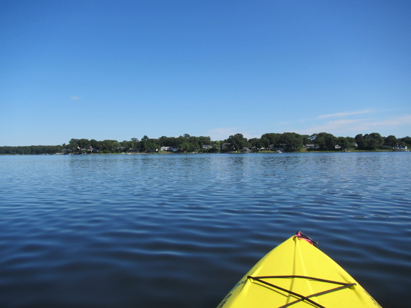
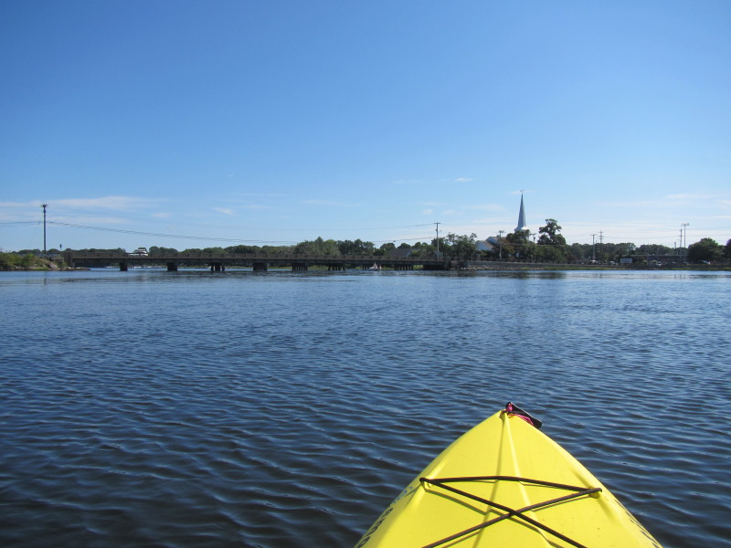
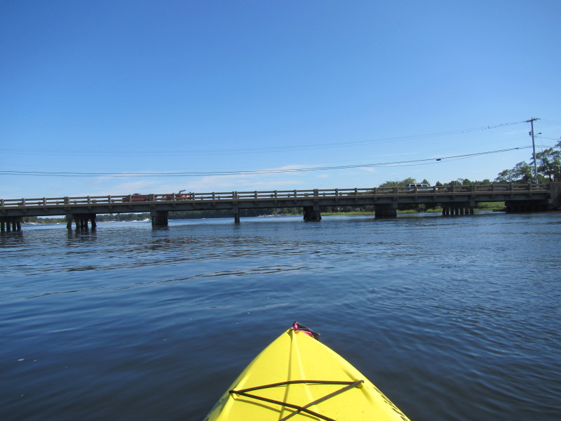
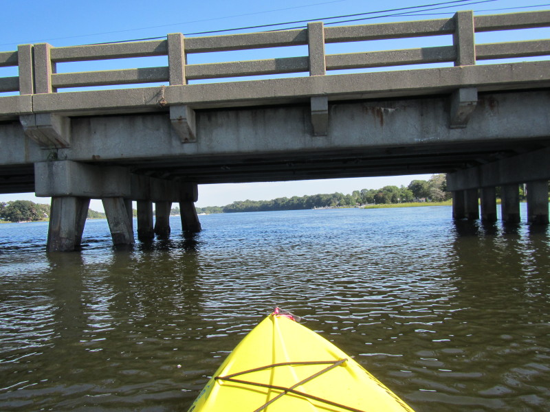
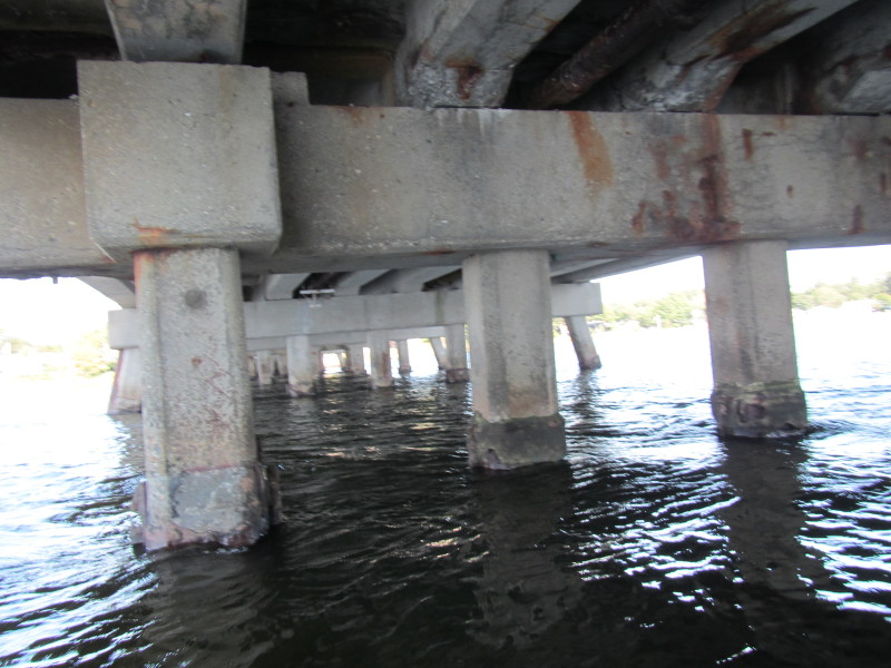
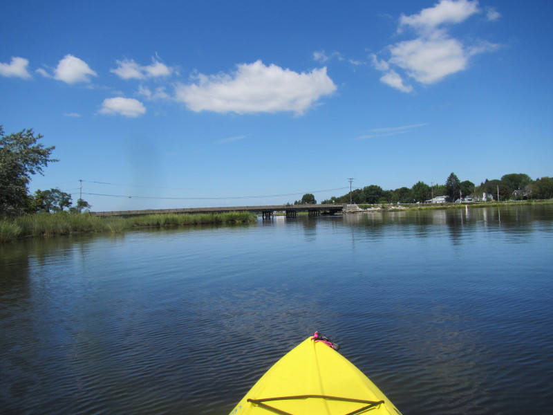 Now facing and paddling north, the Massasoit Avenue bridge.
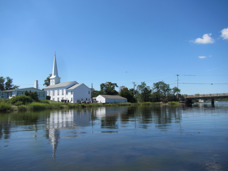
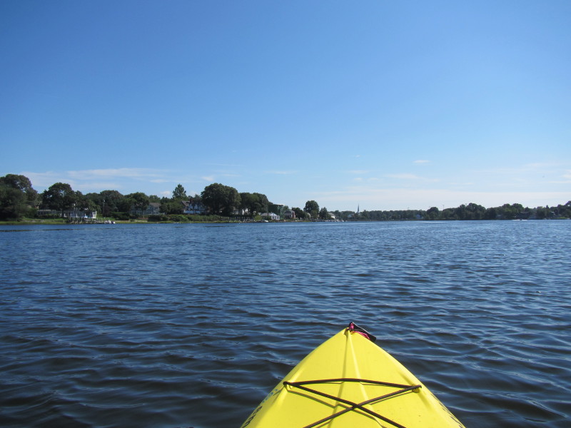
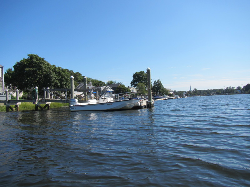
 The official put in town ramp.
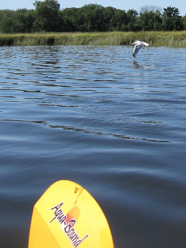
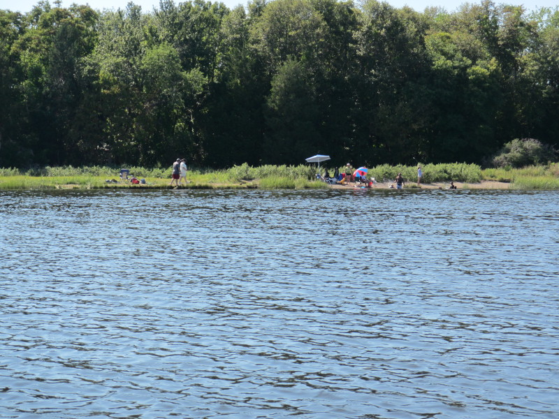
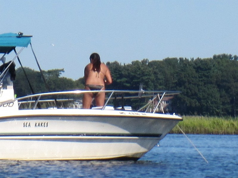
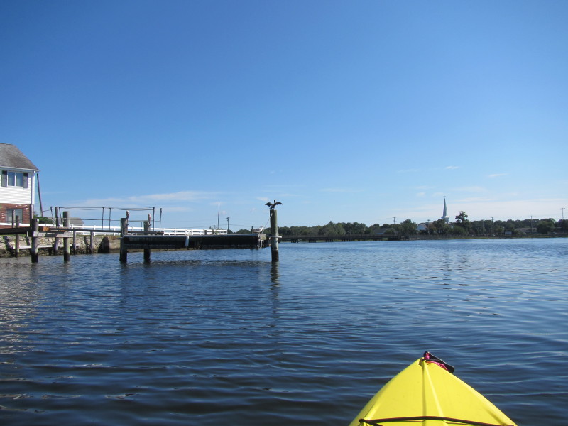
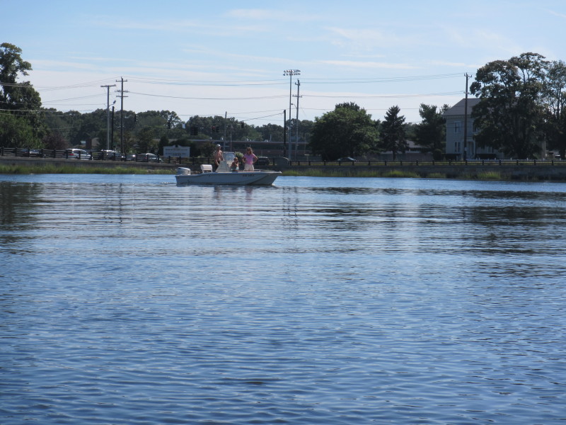
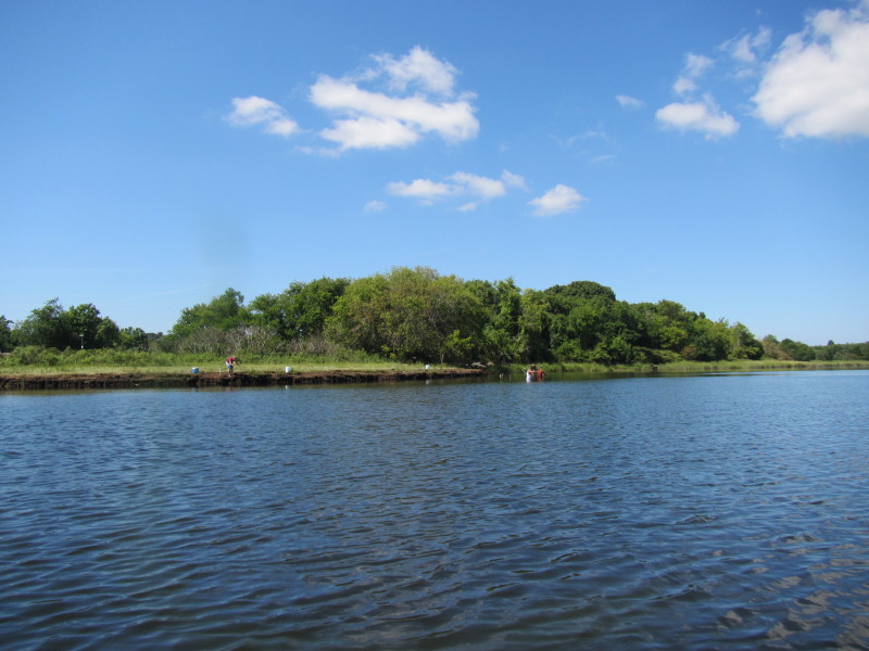 People fishing on the banks of Barrington River.


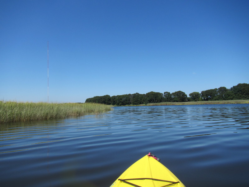
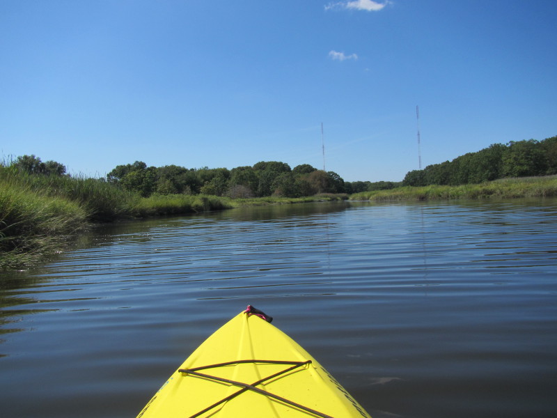
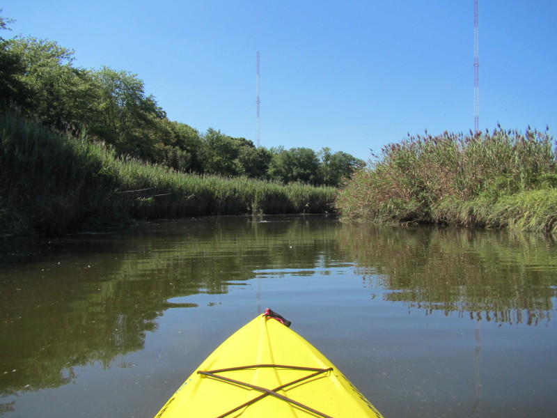
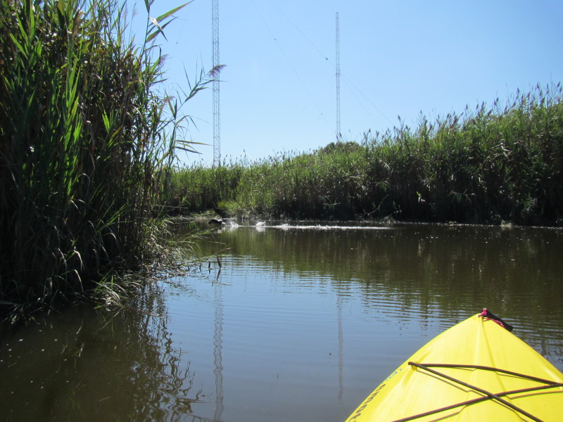
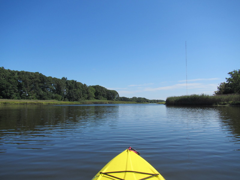
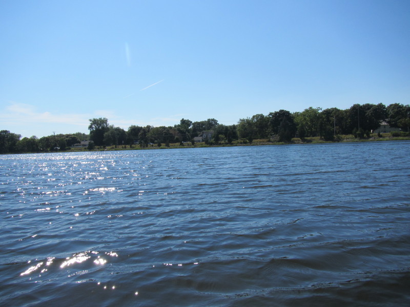
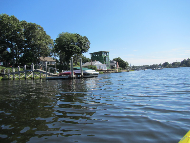
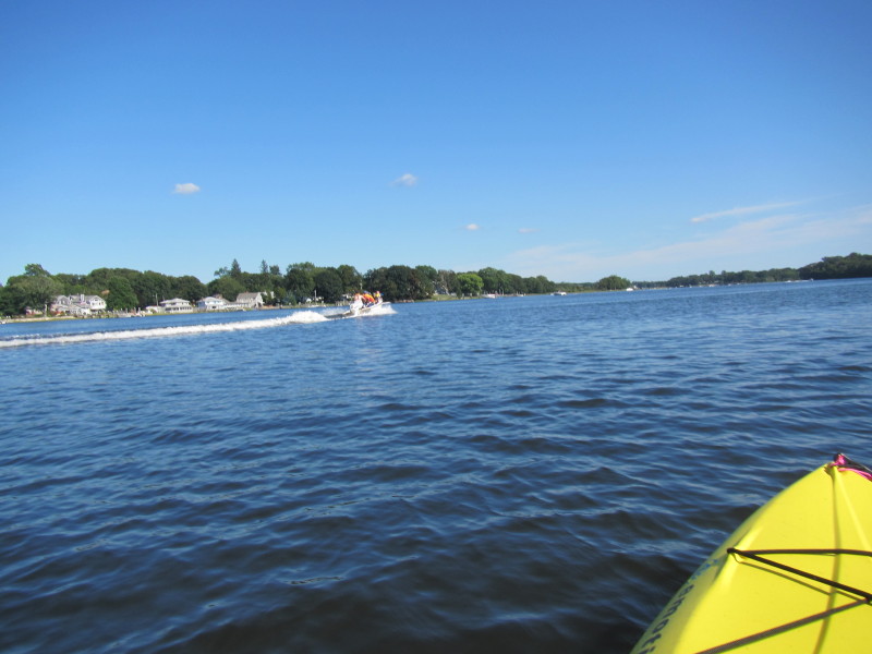
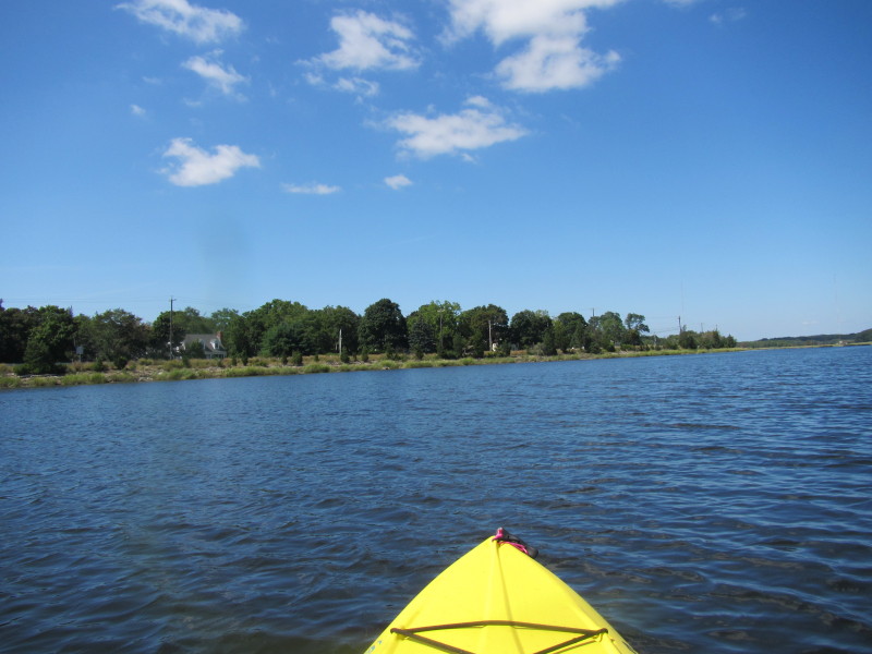 Route 114 is on my left.

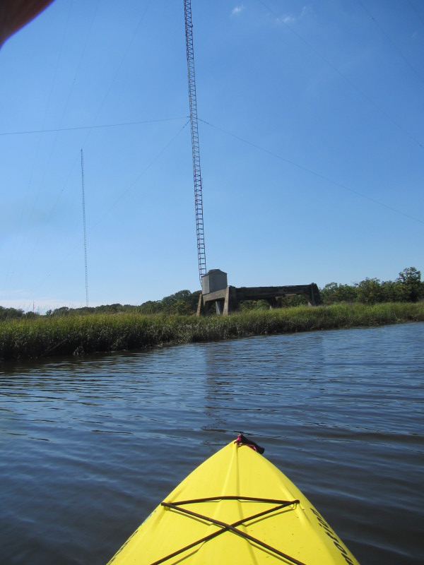
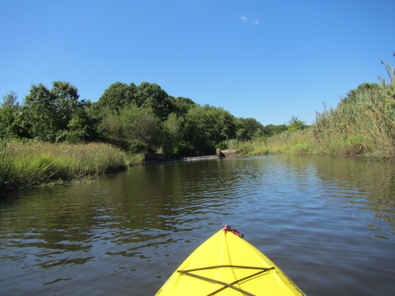
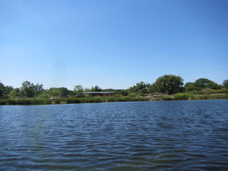
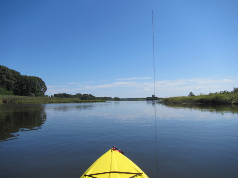
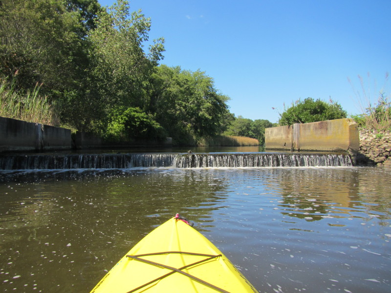 The Standard Oil Pond Dam on Barrington River.
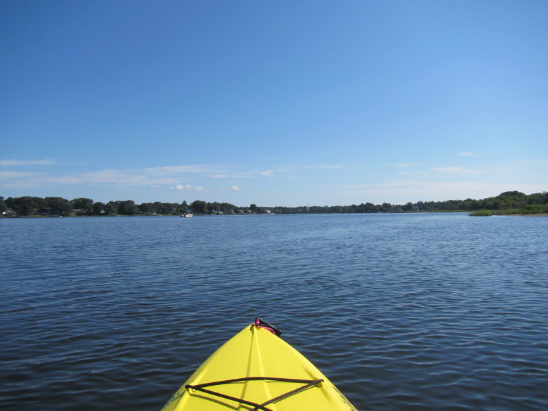
This is my point to turn around. 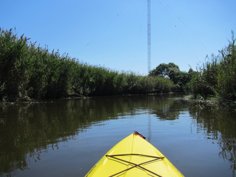 Now paddling south downstream to get back to where I started.
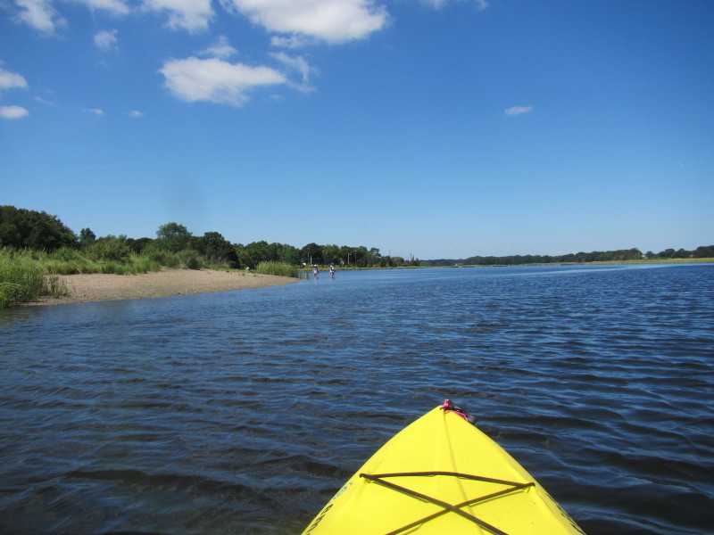
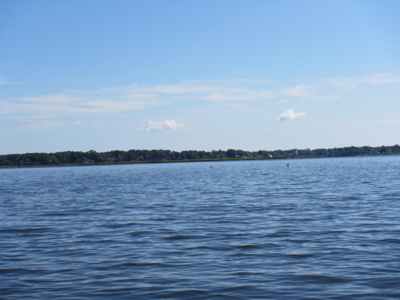
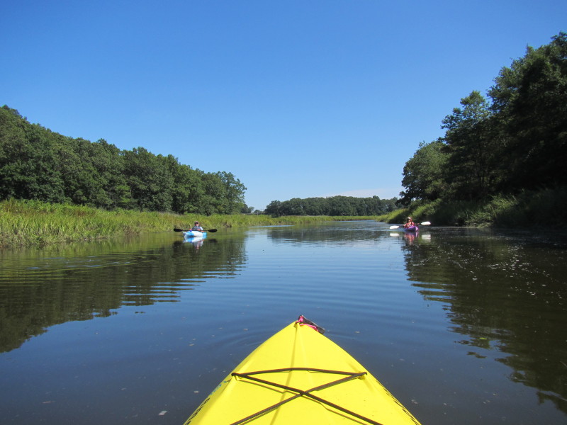 A couple of kayakers.
 The high-water mark is visible on these marsh, about 14+ inches higher than current water level.
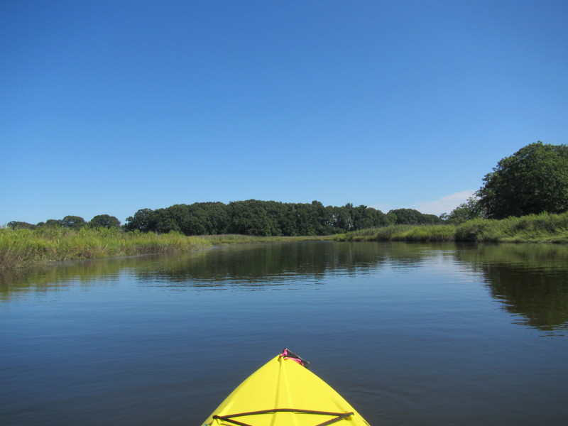
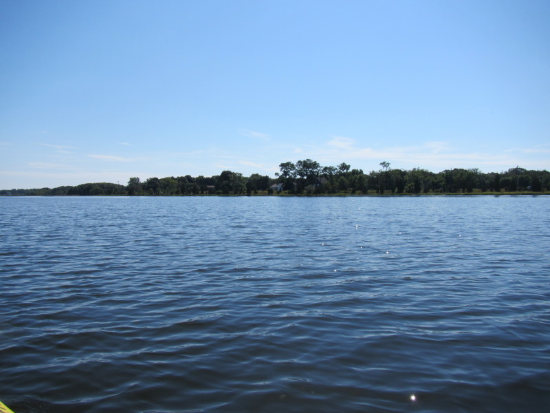

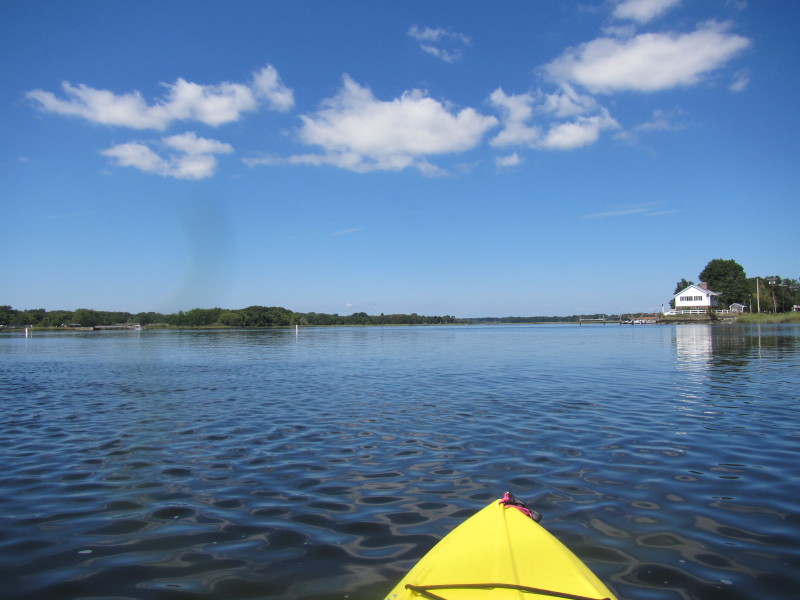
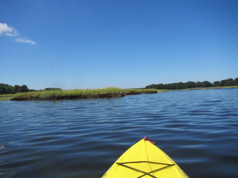
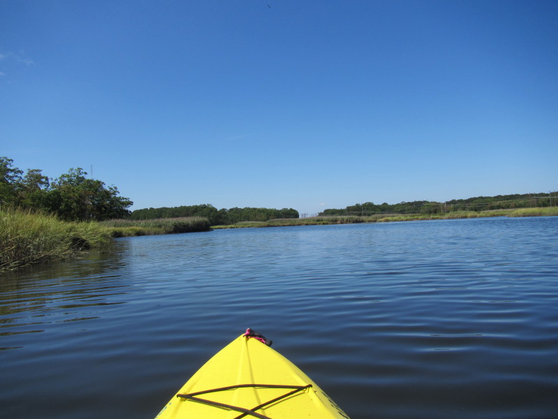
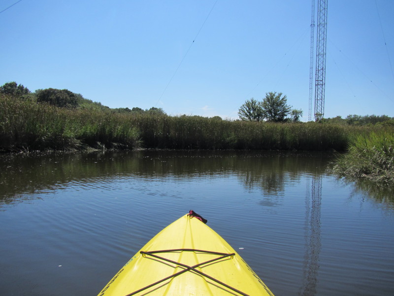
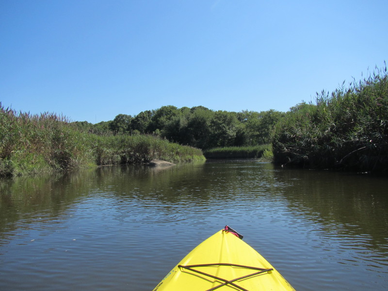
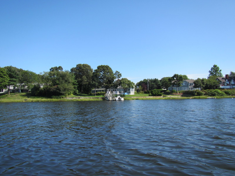
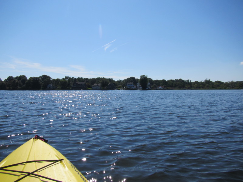
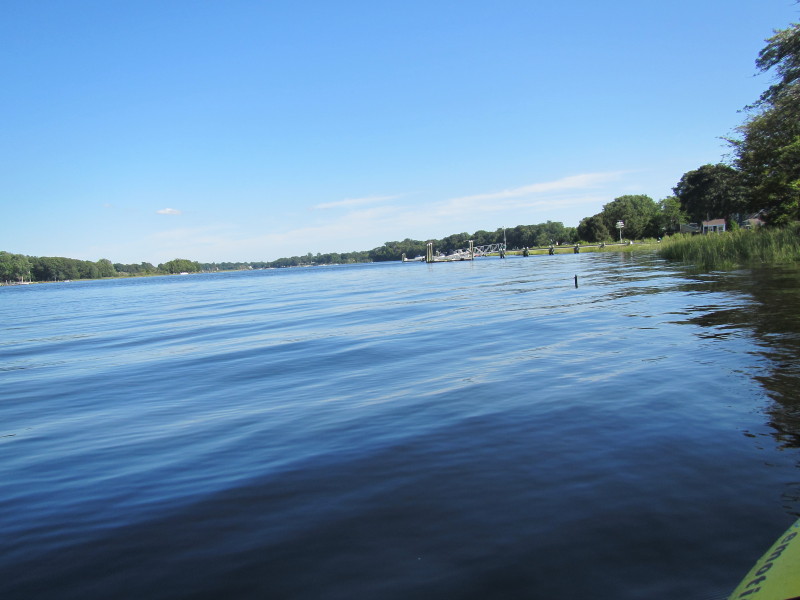
 I decided to go on the other side east bank.
 I was paddling on Barrington River for 2 hours and 10 minutes.
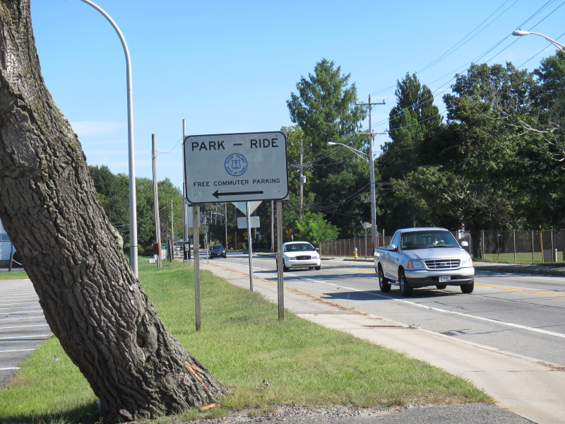 The road sign to the parking lot (informal put in).
|