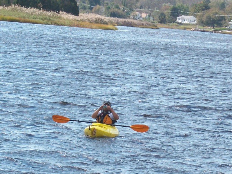
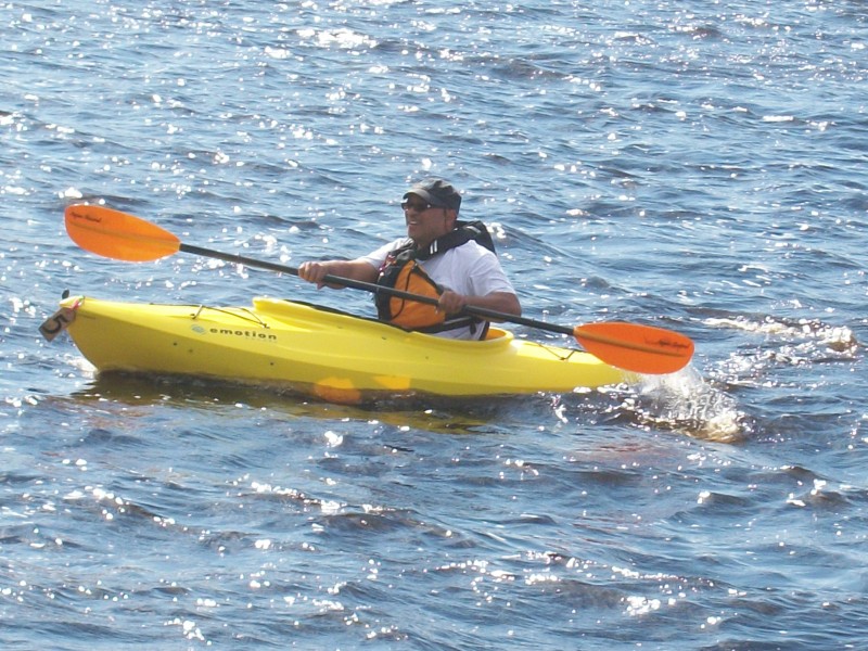
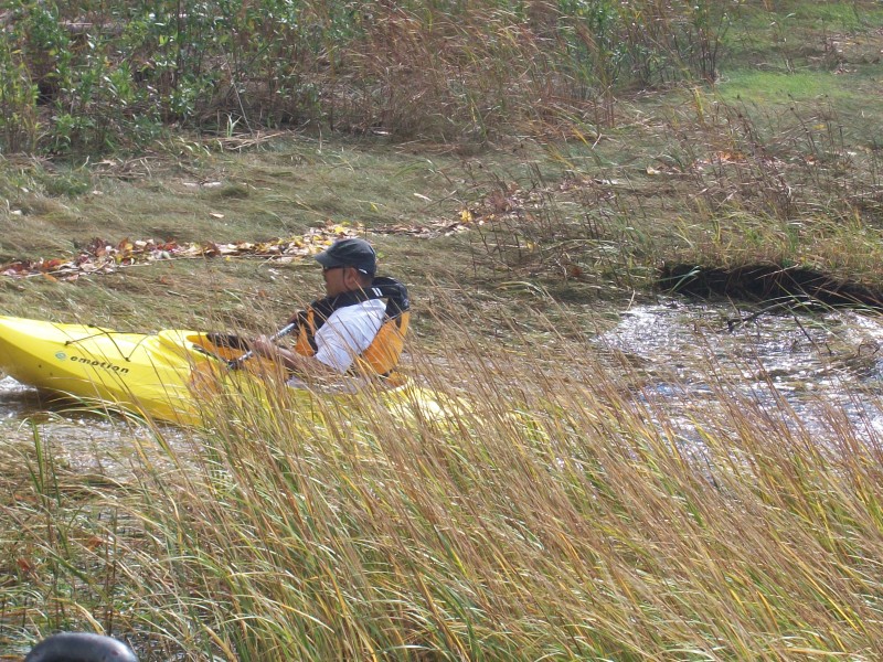
 Kayaker

|


|
Download printer-friendly
PDF version that fits in one page: |

|
|
Other resources:
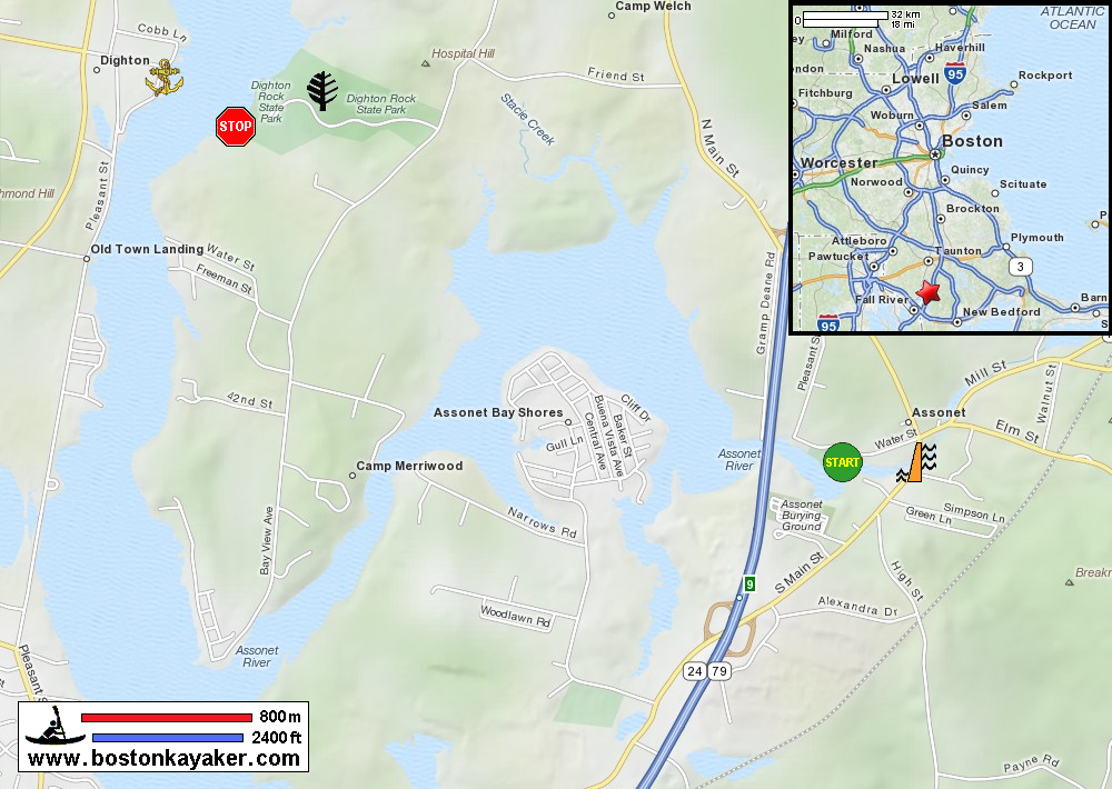
Mass. Dept of Conservation: Dighton Rock State Park Taunton River Watershed Alliance Wild Turkey Paddlers: Morning paddle on Assonet Bay and River Wikipedia: Assonet River All photos in this website are original and copyrighted. 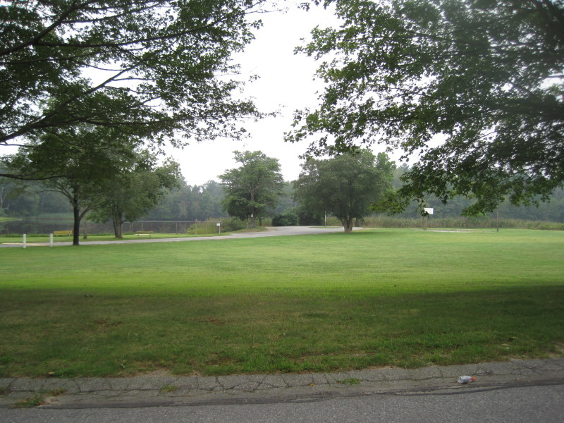 The trip plan is as shown in map above: start in Water Street in Freetown and paddle to Dighton Rock State Park.
At the Freetown boat ramp on Water Street. 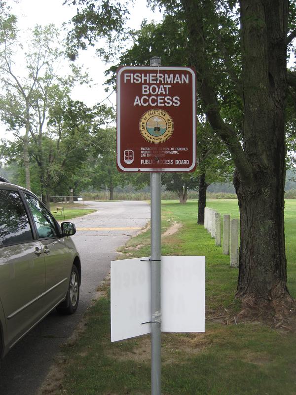
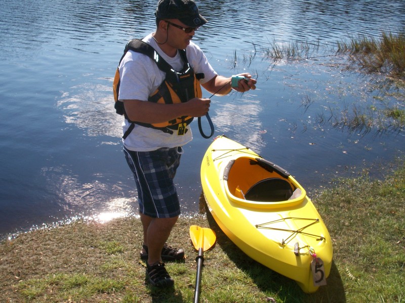
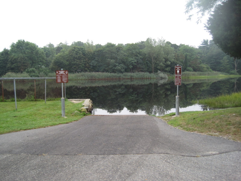 The 3 pictures above were taken August 2011 when I first scouted this launch.
 The photo above and all of below were from the kayak trip on October 2011.
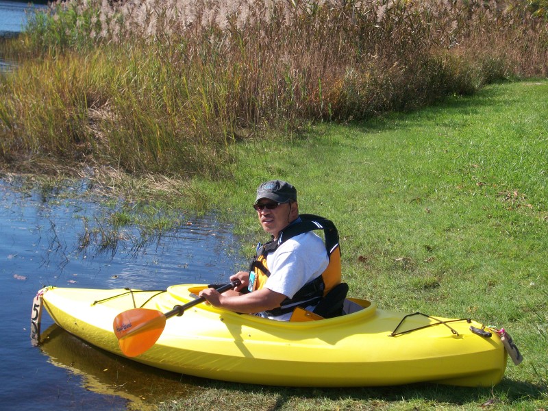 My son will give me a gentle push . . .
 Just launched.
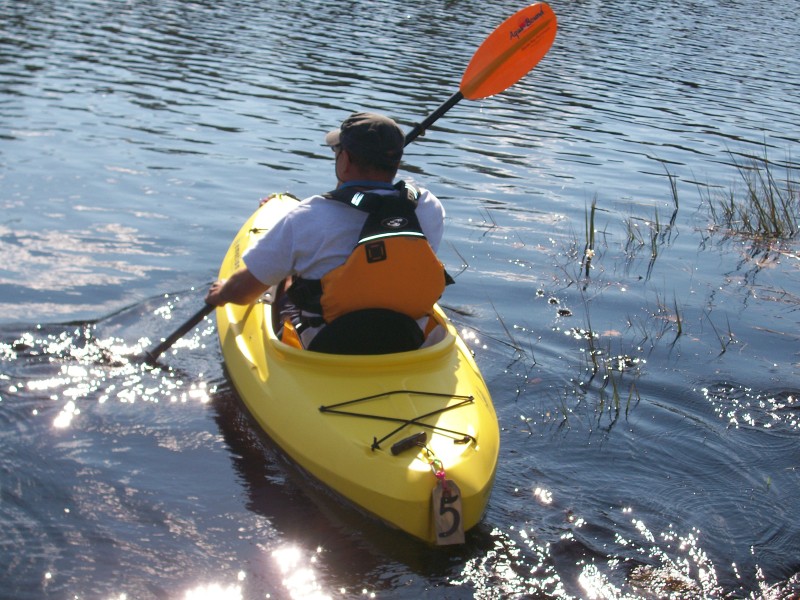
 I paddled to the right.
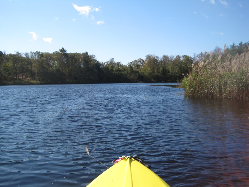
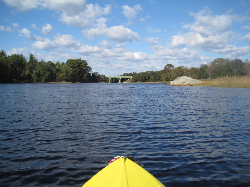 Soon enough, Route 24 bridge is visible, not far from launch.
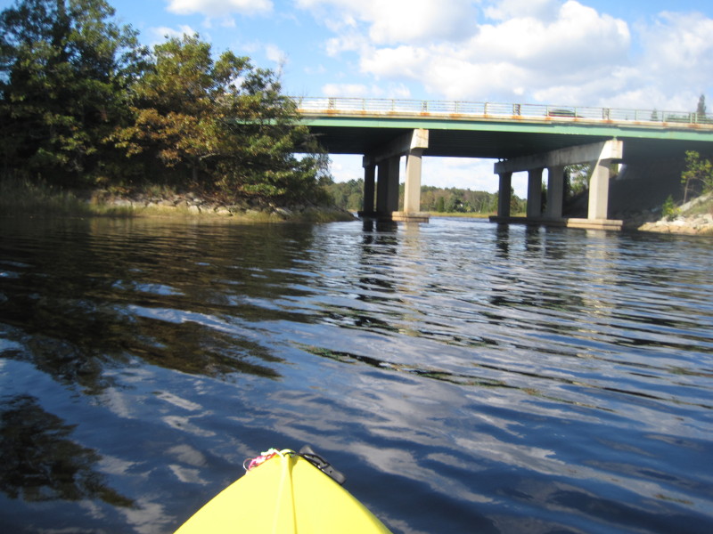
 Going under Route 24.
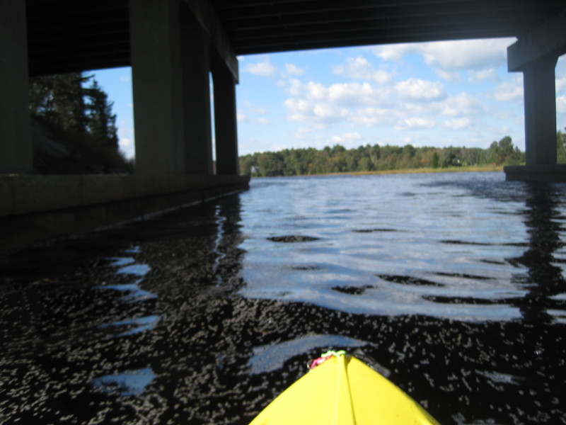
 Just got past the bridge.
 That is where I am going: to the tip of that land on the left.
 Looking to my left.
 Continuing on my direction . . .
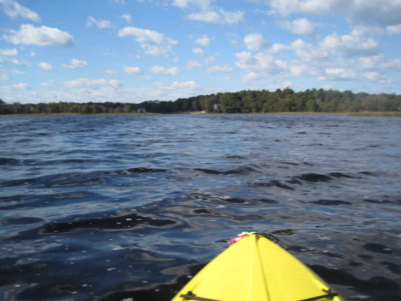
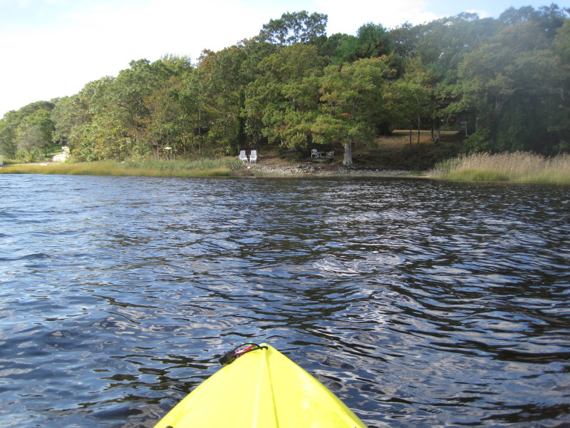
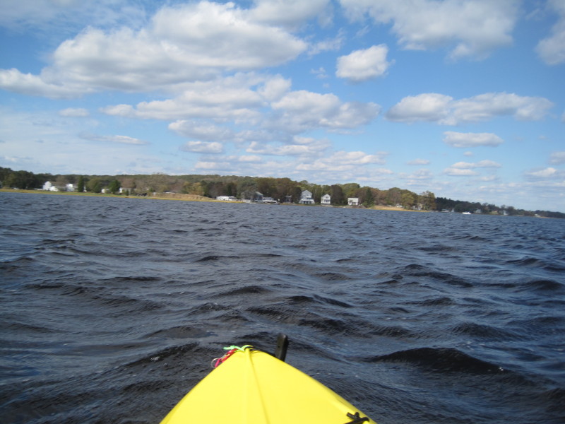
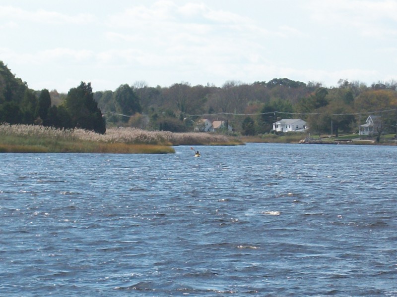
 I am now hugging the coast on my left.
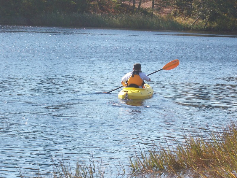
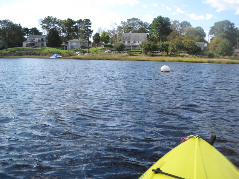
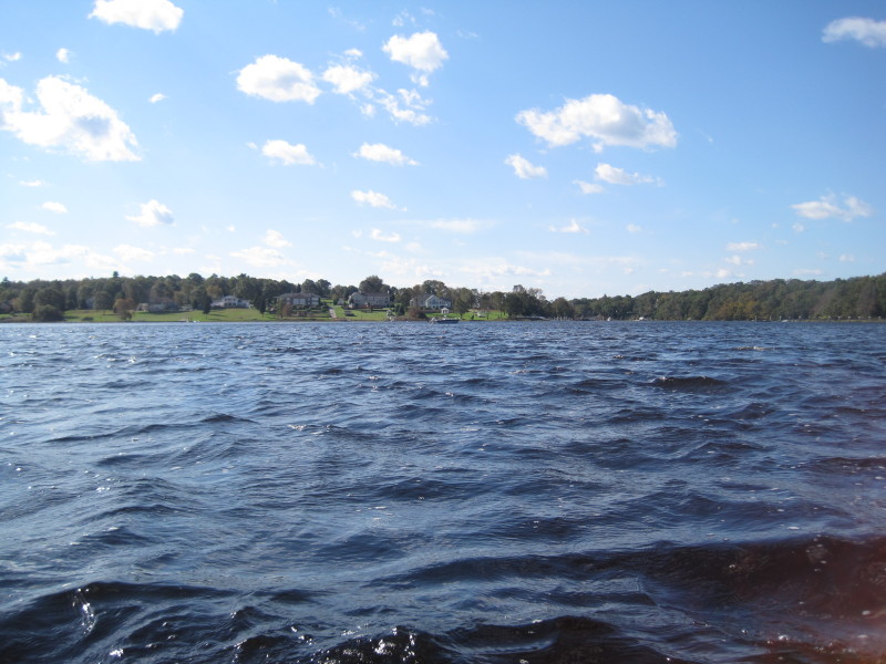
 I got wet from all these splashes . . .
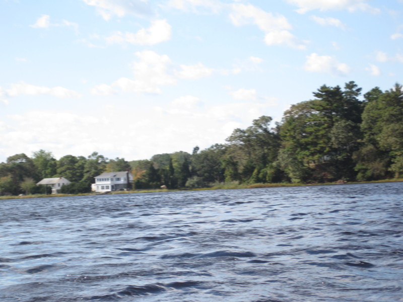
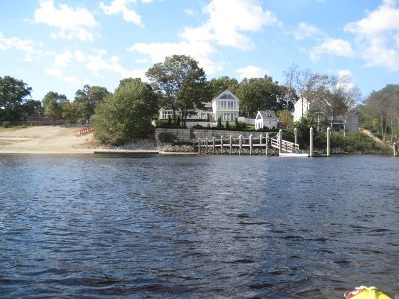
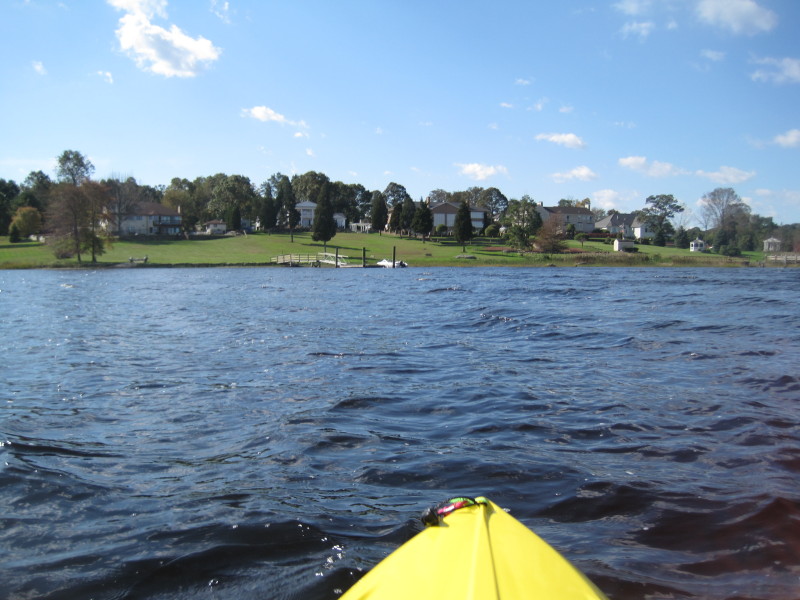
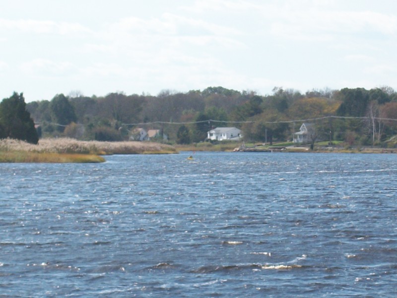
 Have to check the map and look around but I did correctly hugged that coast to the right of that riverside with those houses.
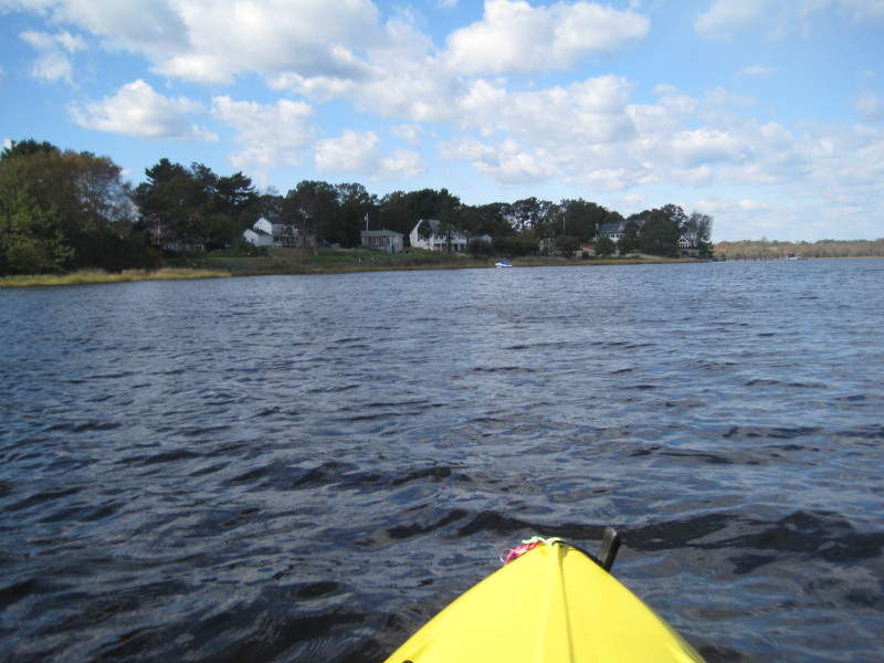
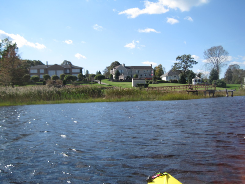
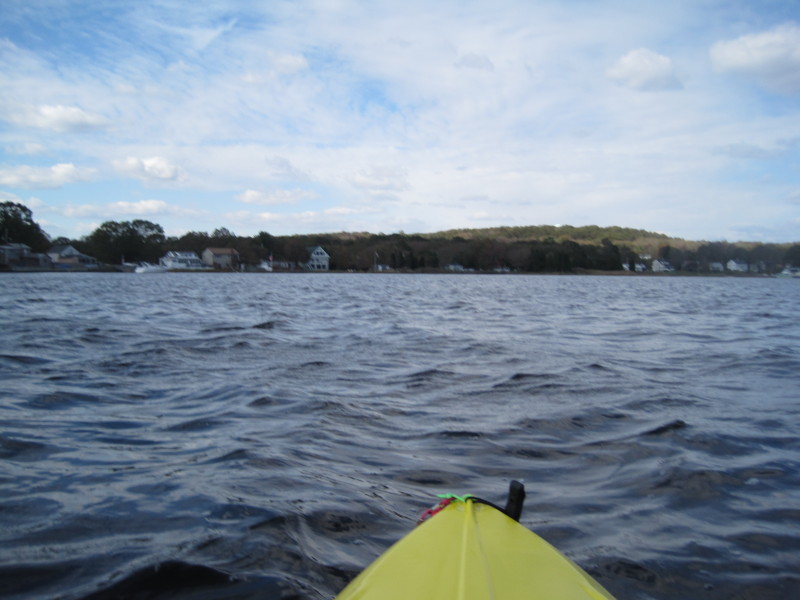
 Now that I approached the houses, I paddled to the right.
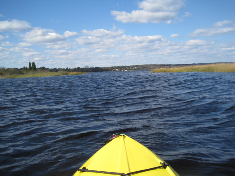
 The rest of Assonet River is now in front of me before it joins the Tauntion River.
 Looking to my right.
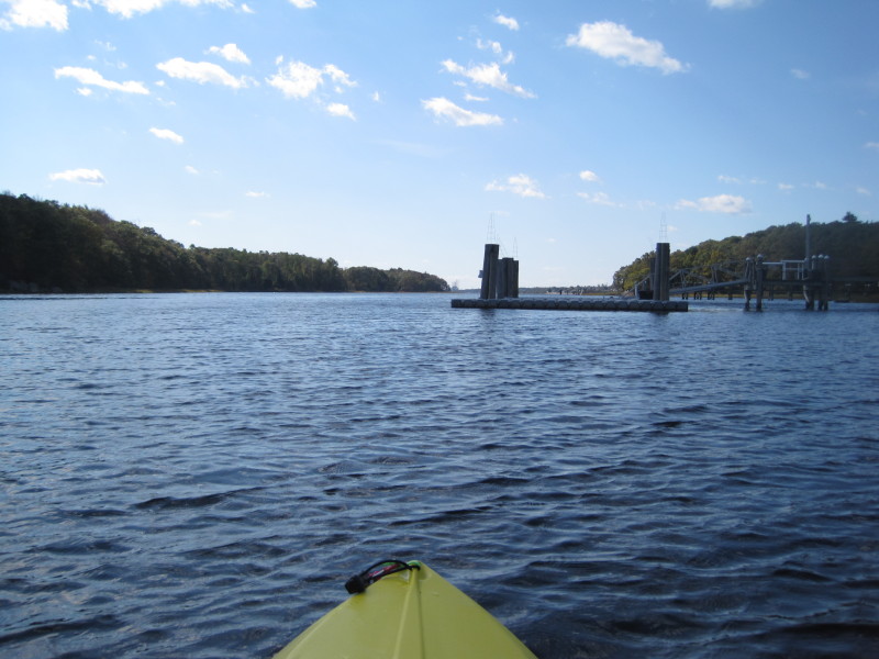
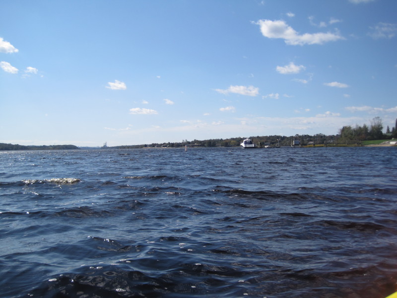 As I continue my southward paddle, I can now see the I-295 bridge on the horizon.
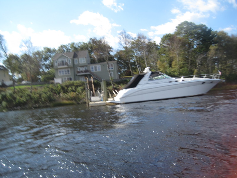
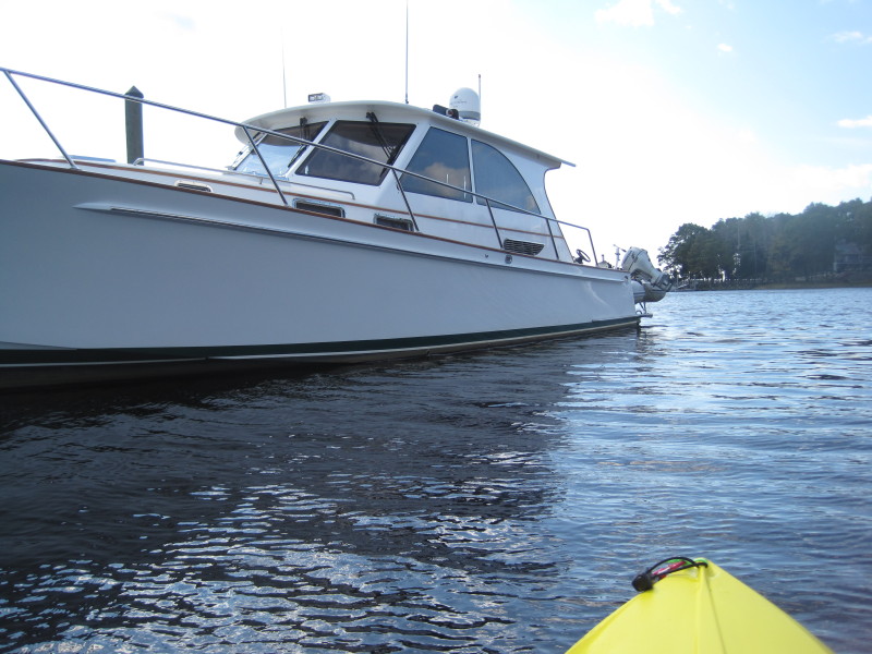
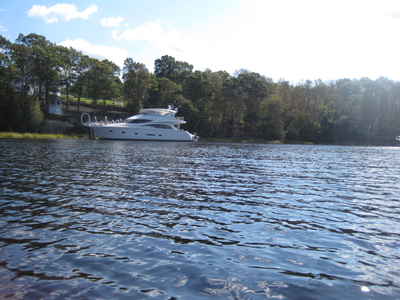
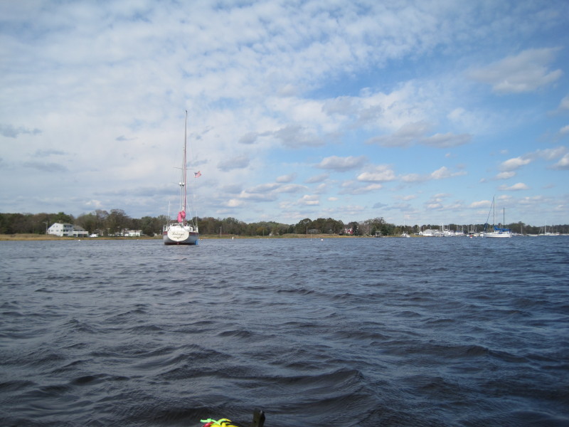
That bridge is actually about 4 miles away! 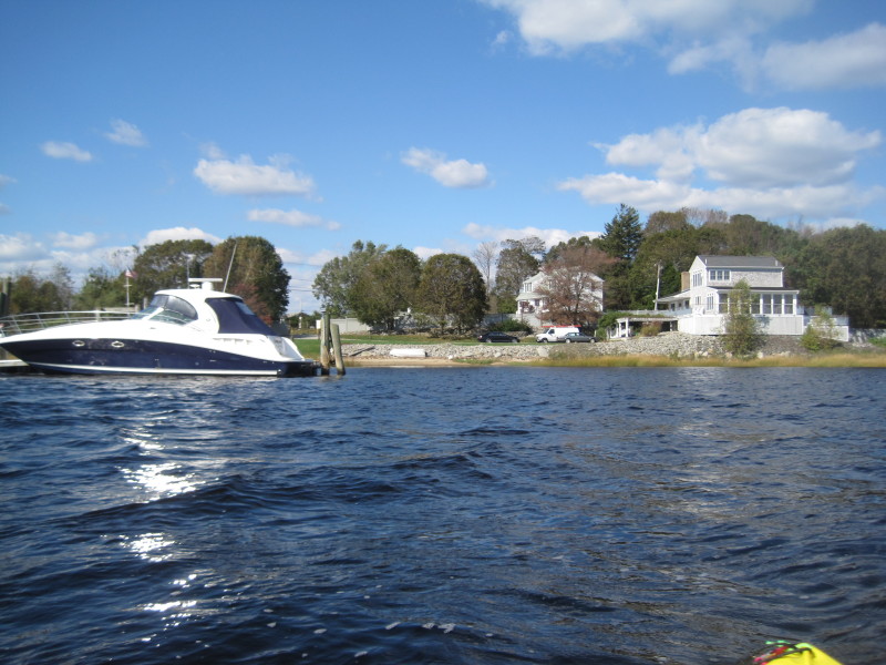 This boat and property is at the tip of the peninsula where the Assonet River joins Taunton River.
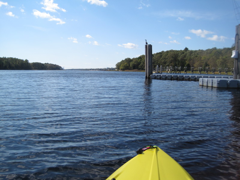
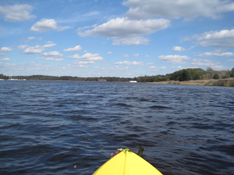
From here I will be turning right/north to Dighton Rock State Park. 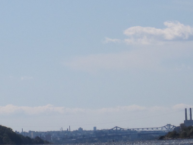 Looking south, I can see the I-195 bridge on the horizon about 4 miles away.
 Just rounded the peninsula. There is this uncharted small island. I will pass thru the middle.
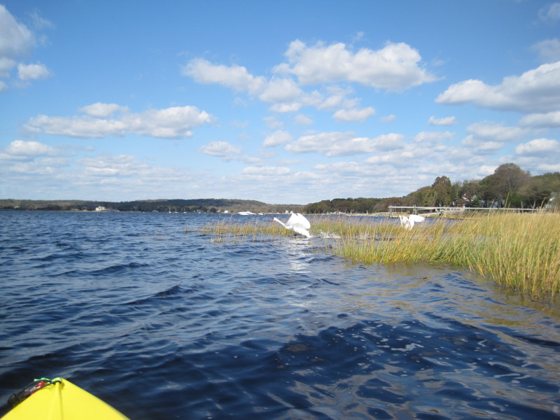 A pair of swans.
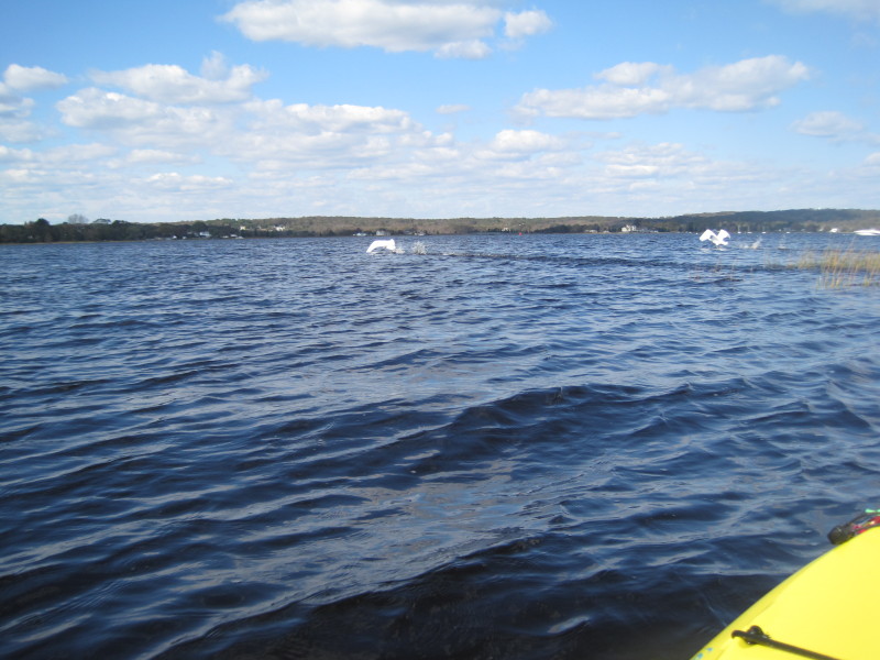
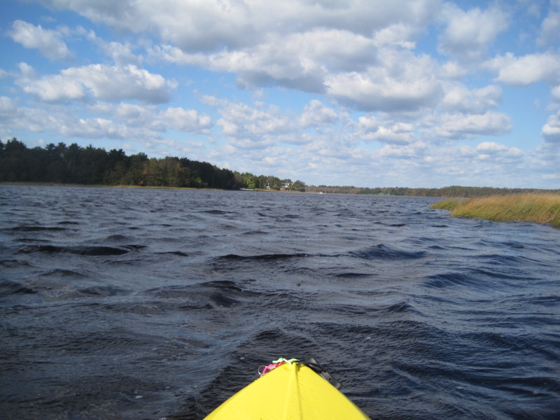
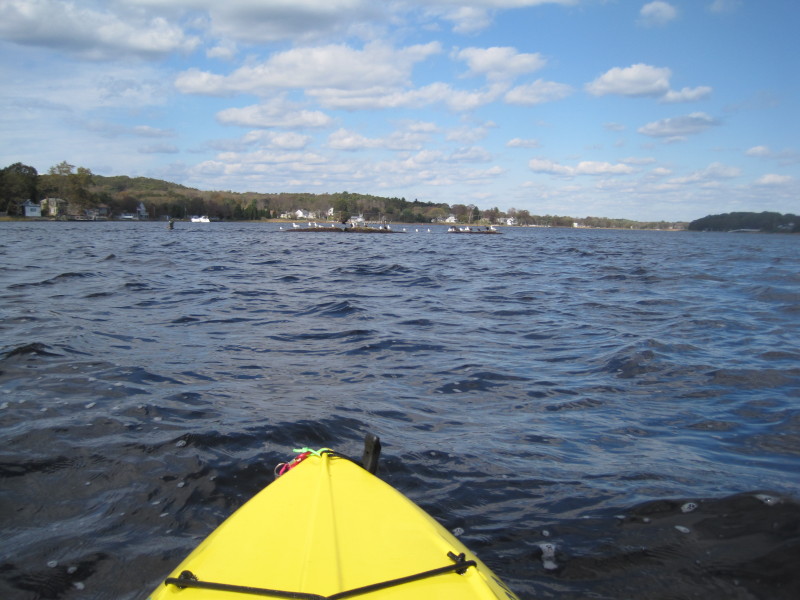
 The waters are choppy.
 I will hug the coast now to my right and will go round this jutting land.
 Looking west, Taunton River's west bank across the peninsula.
 Some rocks in the middle of the river.
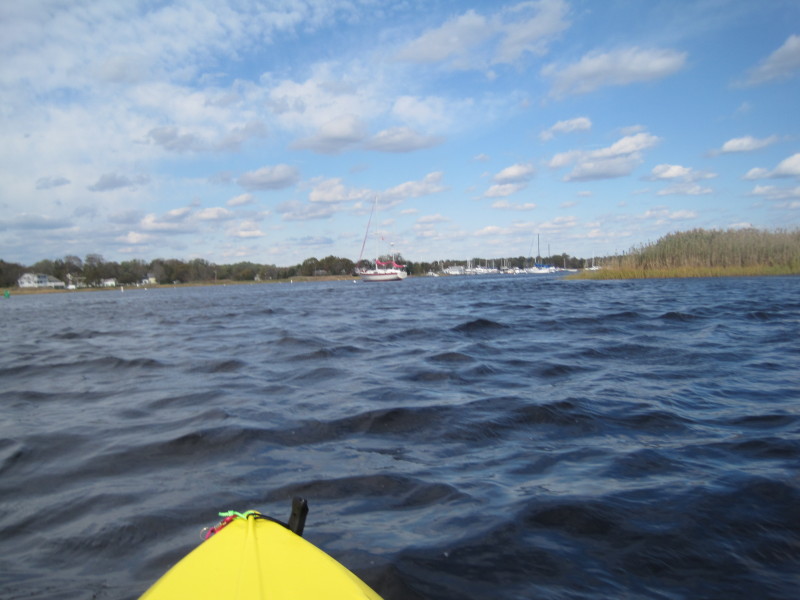
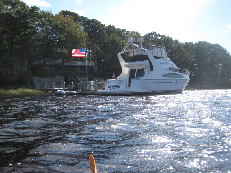
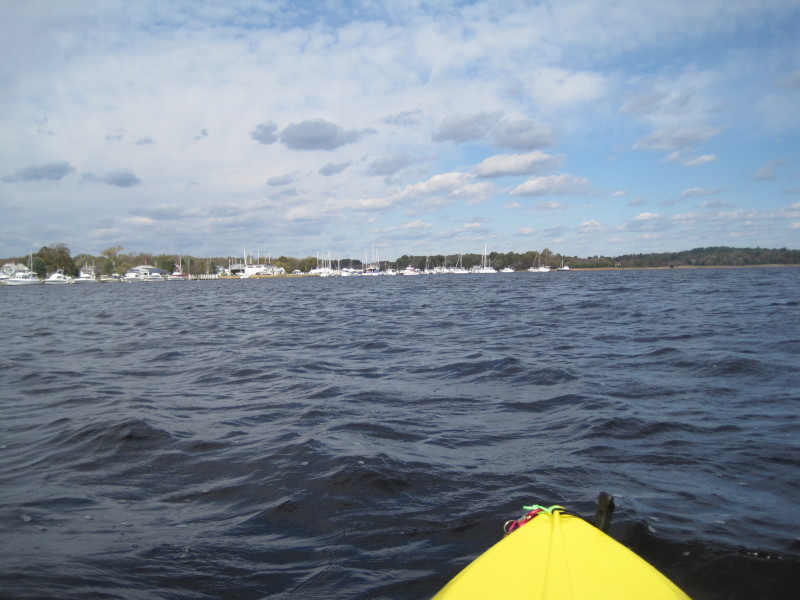
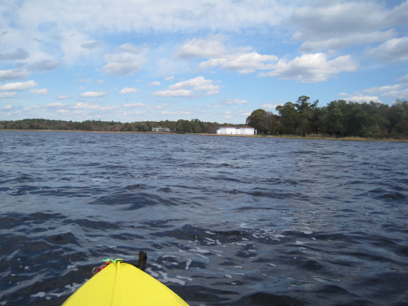
 I can see the yatch club marina. Opposite of this marina is my landing site.
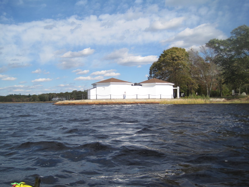
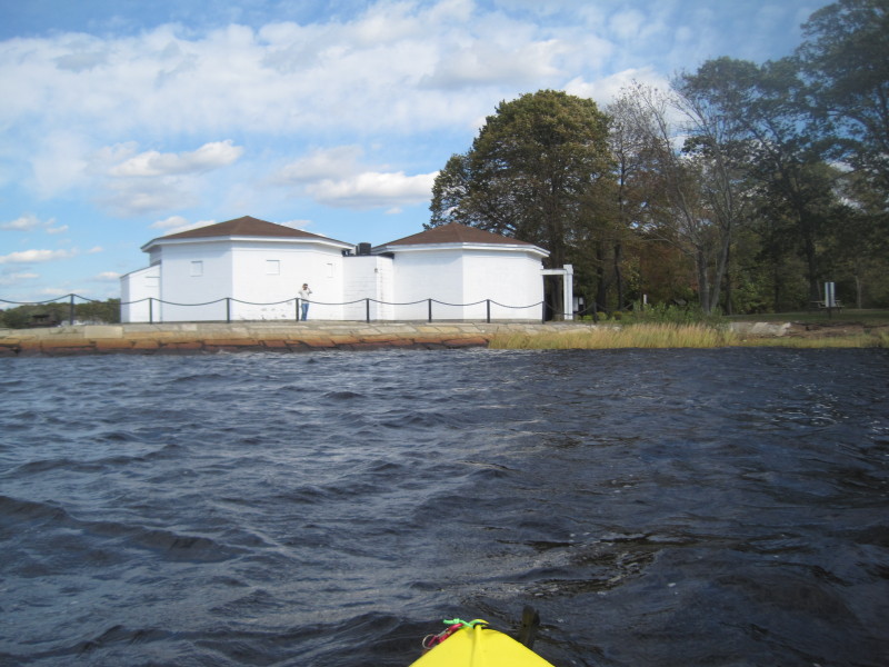
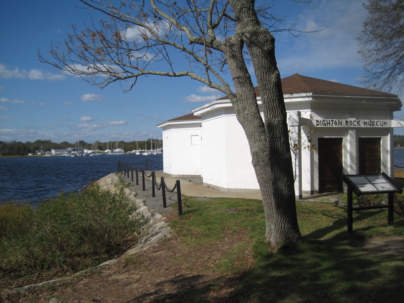
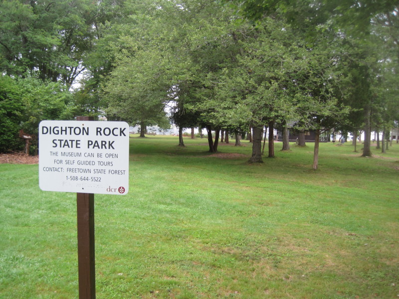
 That white building is the Dighton Museum, marker to my take out destination.
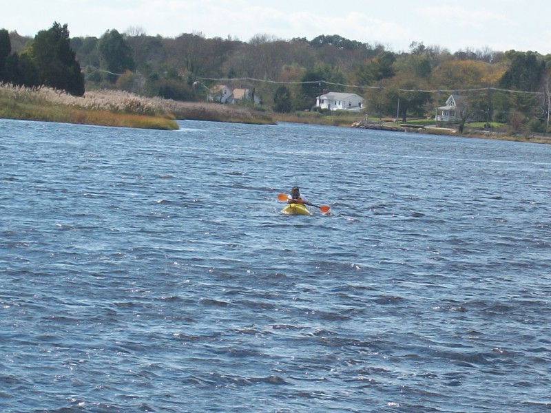
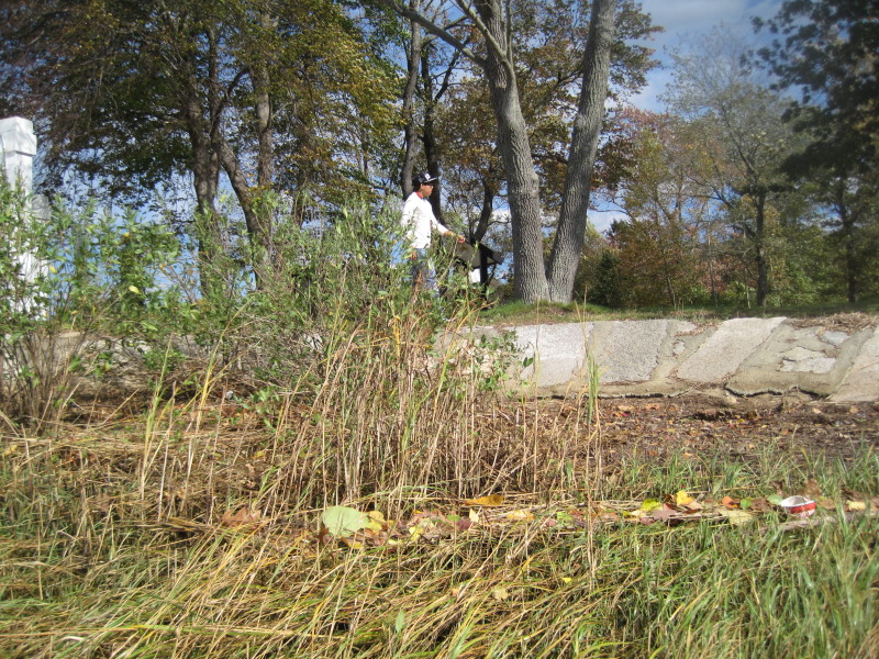
 My son spotted me from the Dighton Museum.
 Getting closer . . .
 There is my son waiting for me.
 Landed.
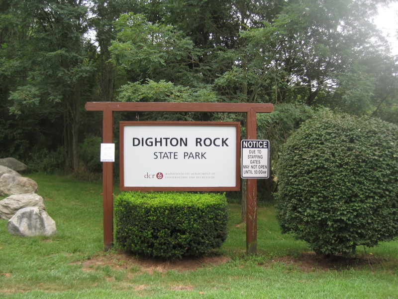
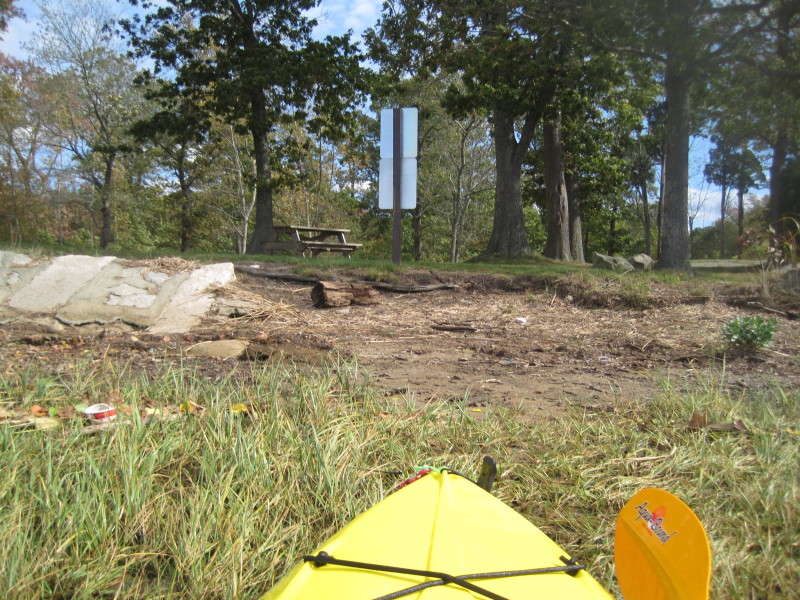
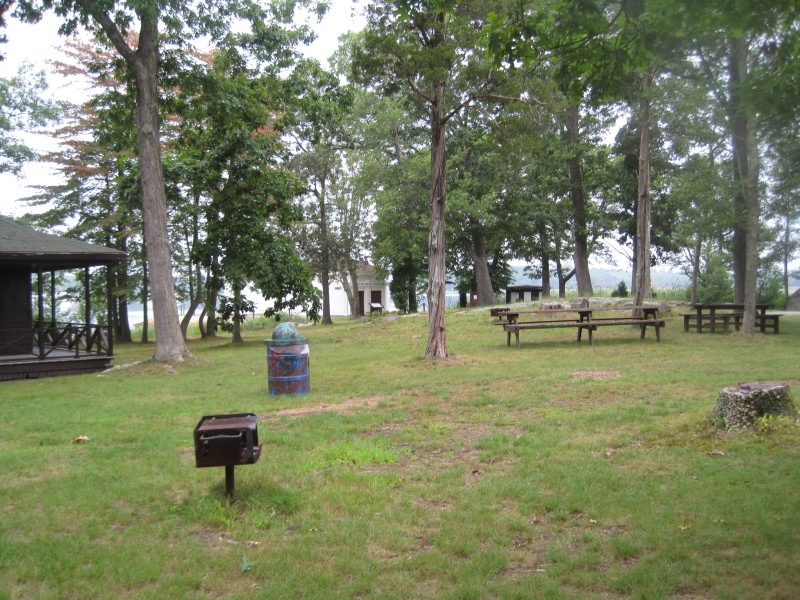 Dighton Rock State Park has benches and barbecue facilities.
|