 Kayaker

|


|
Download printer-friendly
PDF version that fits in one page: |

|
|
Other resources:
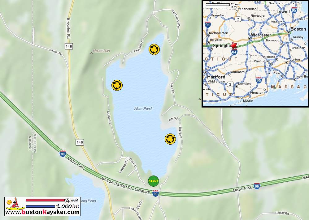
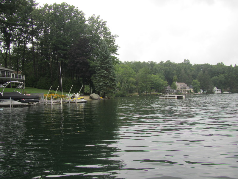
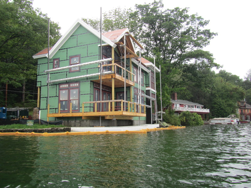
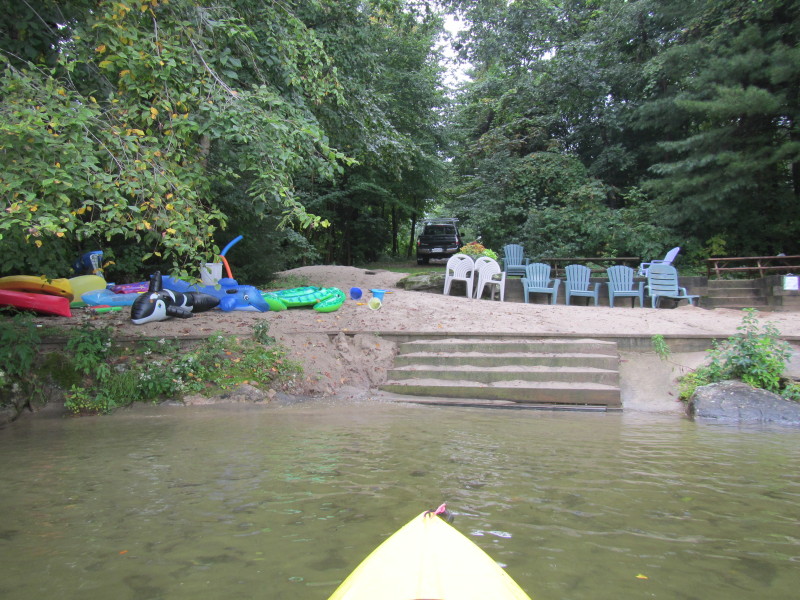
Mass. Govt.: Alum Lake Bathymetry Map Mass. Govt.: Alum Lake Bathymetry Map (cached copy) All photos in this website are original and copyrighted. 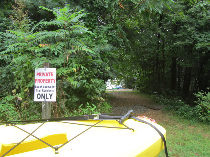 At the residents-only access to Alum Pond in Fiskdale MA.
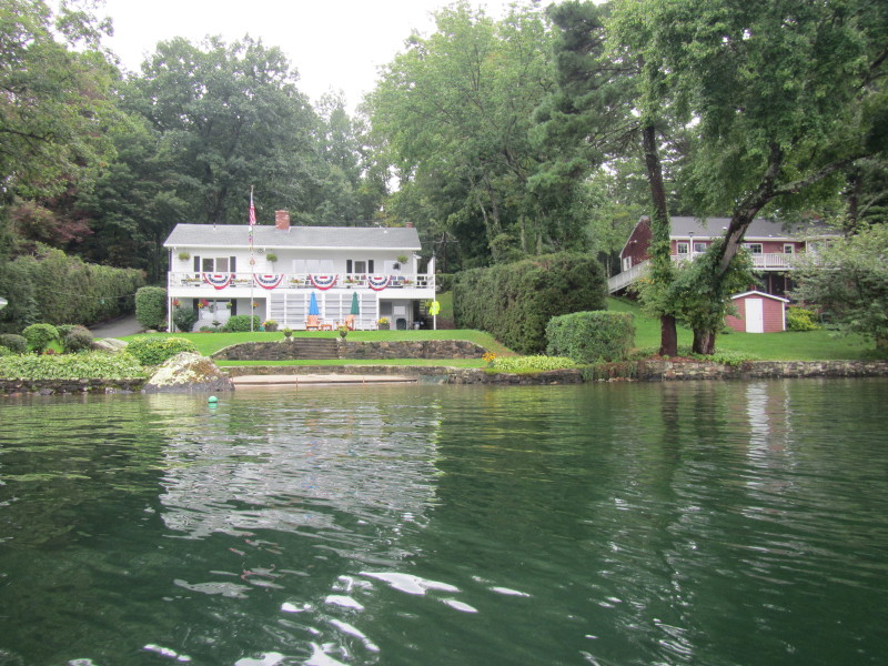
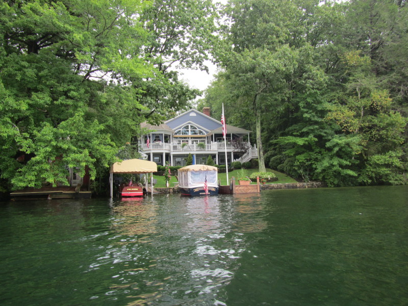
Trip date is a rainy Labor Day September 2013. 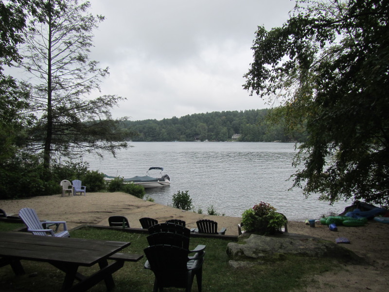 The residents-only beach on Alum Pond.
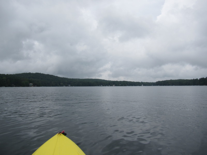
 It has been rainy and cloudy the whole day.
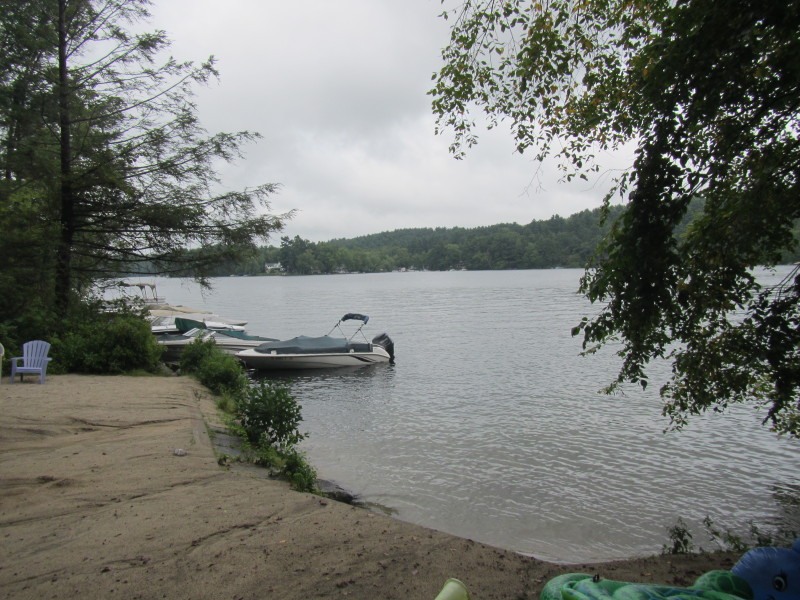
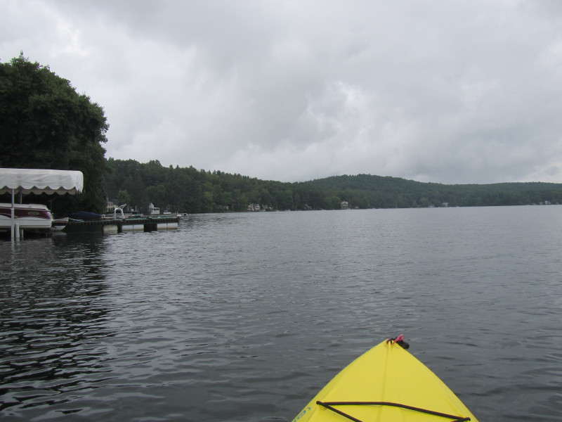
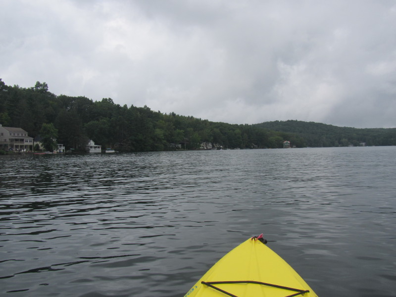
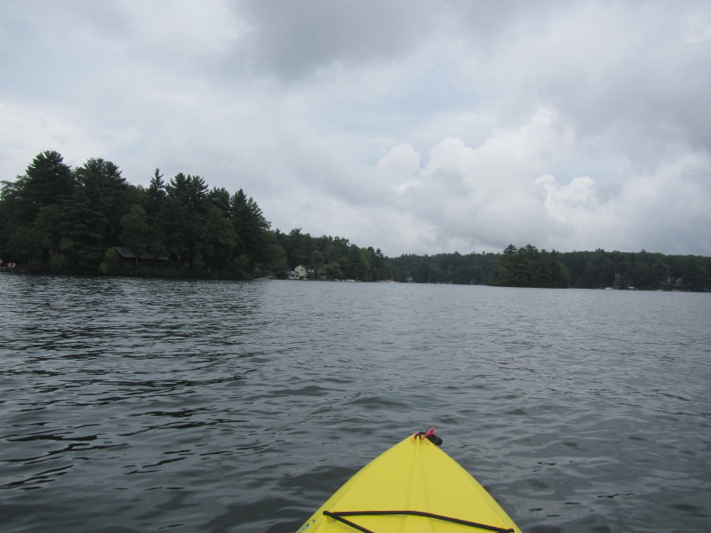
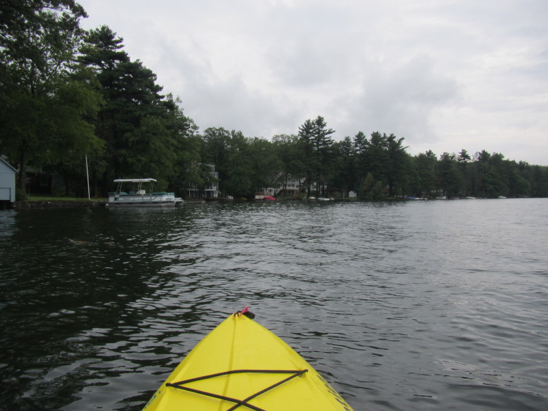
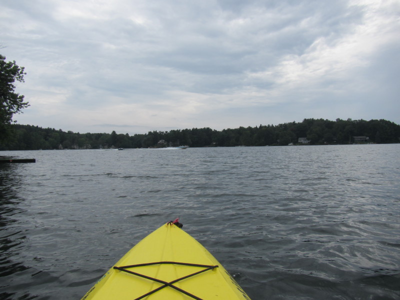
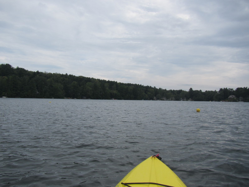
Now, at about 2:30pm, seems the sky is brighter. 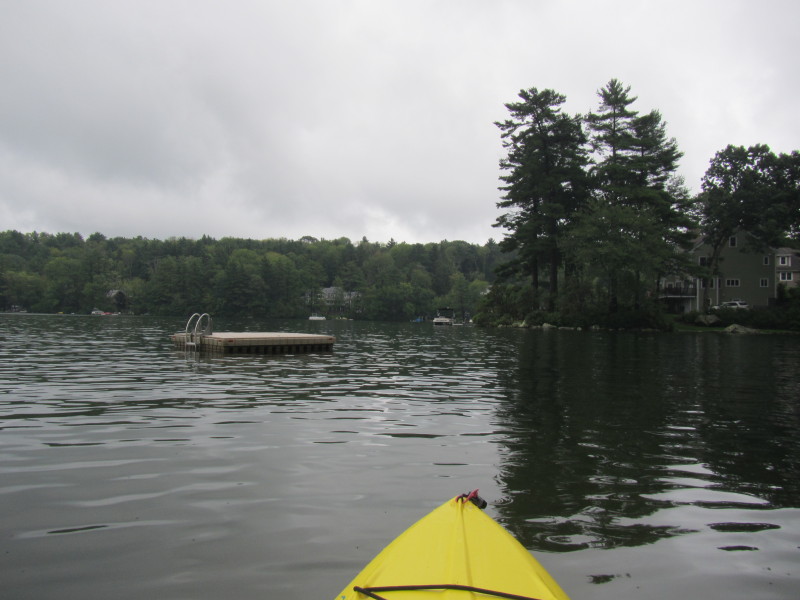 The Boston Kayaker just launched on Alum Pond.
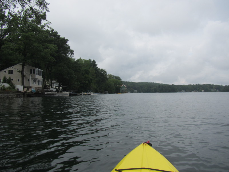
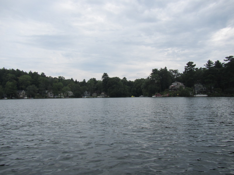
 I decided to veer to my left and will circumnavigate the Alum Pond clock-wise.
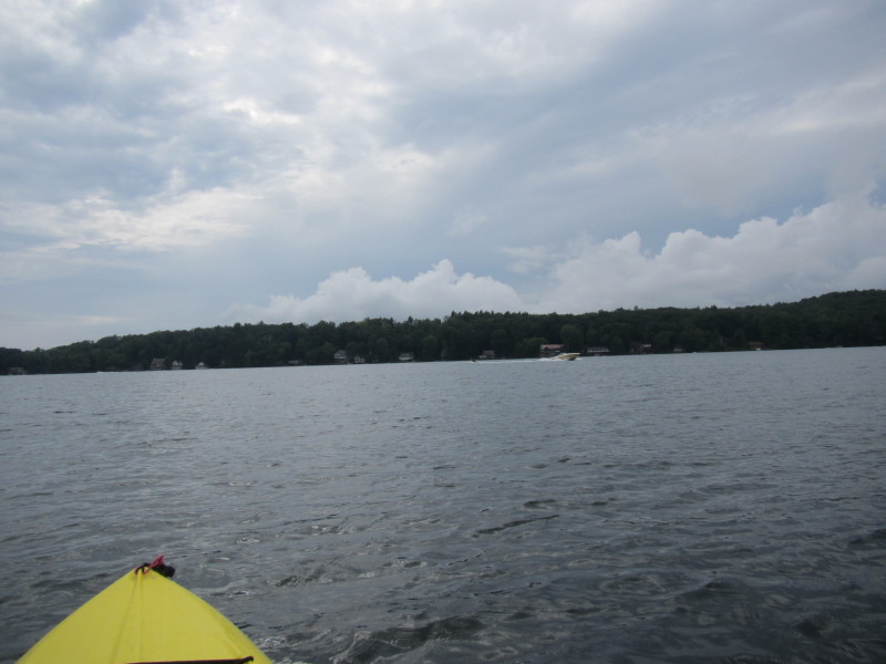
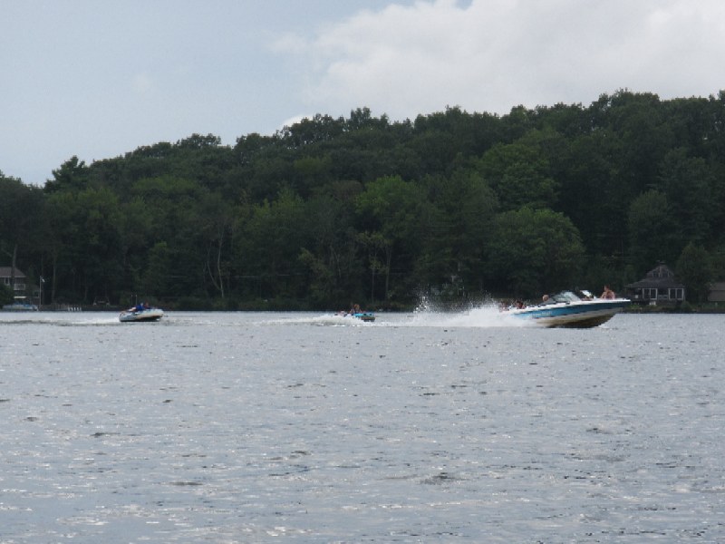
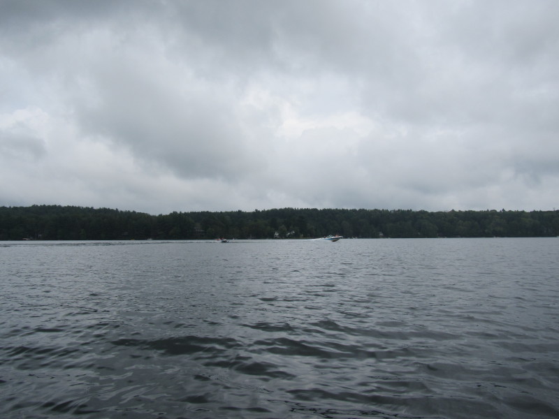 A boat pulling two pods filled with kids.
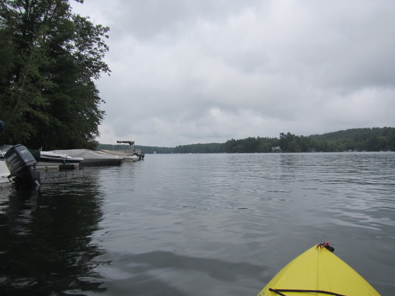
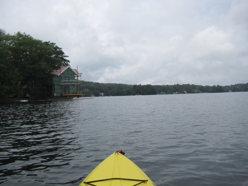
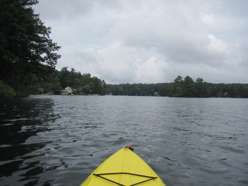
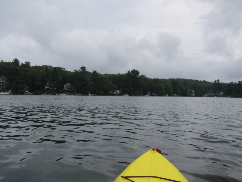
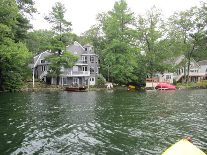
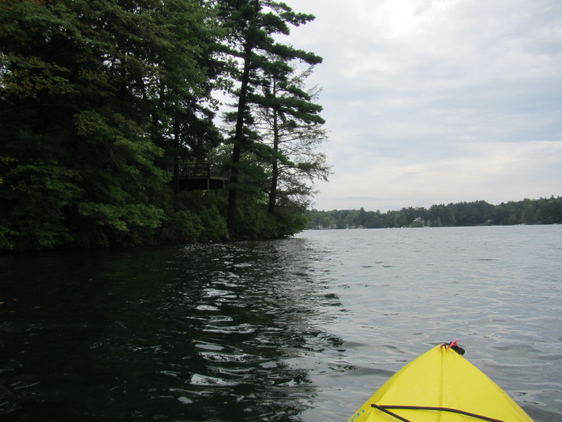
 I have reached the northwestern corner of Alum Pond.
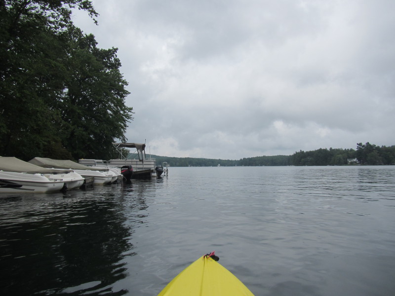
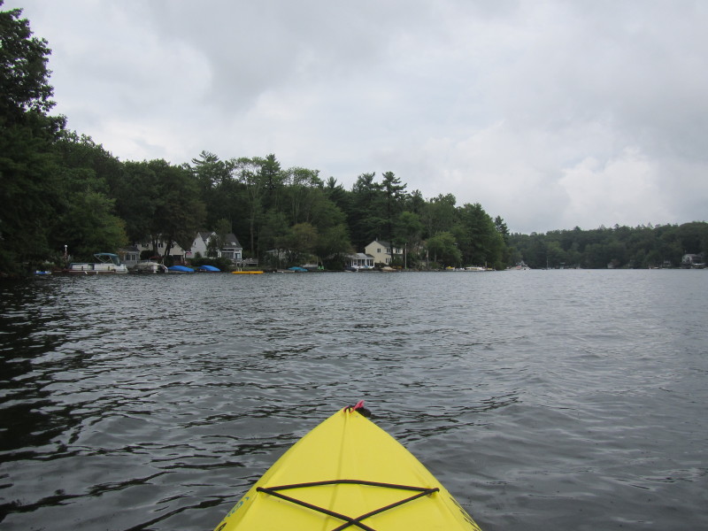
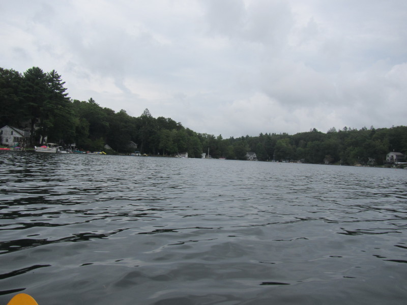
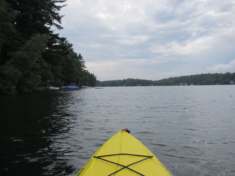
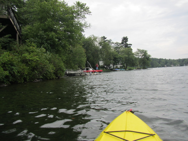
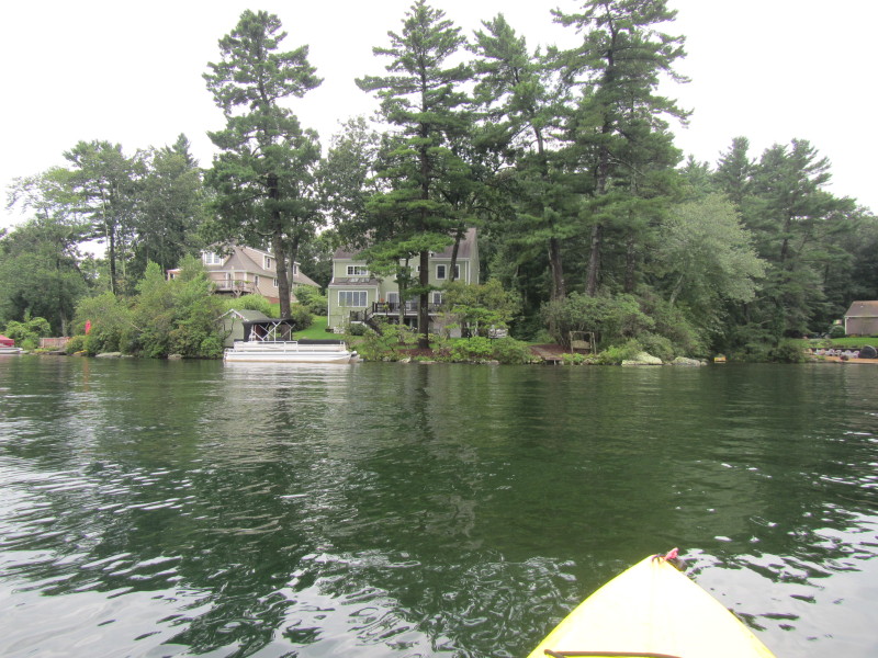
 Veering to my right to continue the clock-wise circumnavigation of Alum Pond.
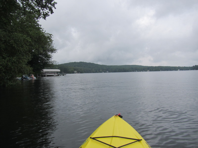
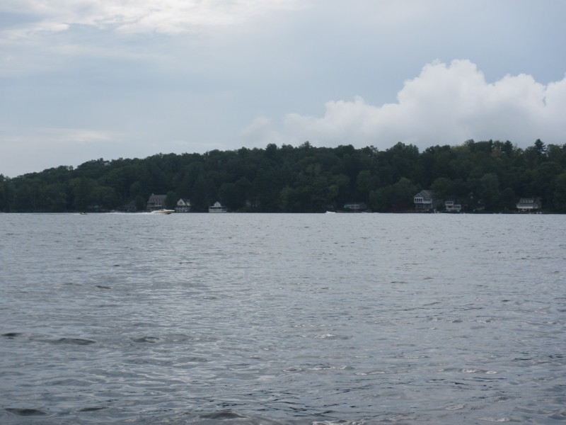
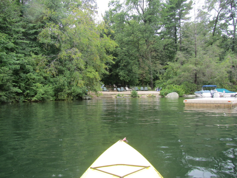
 There is one island over there on right side of picture.
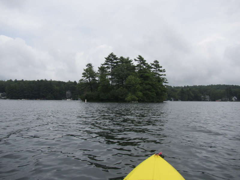
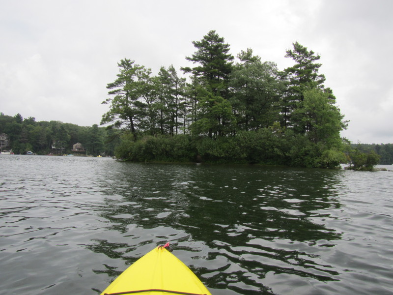 Island on Alum Pond.
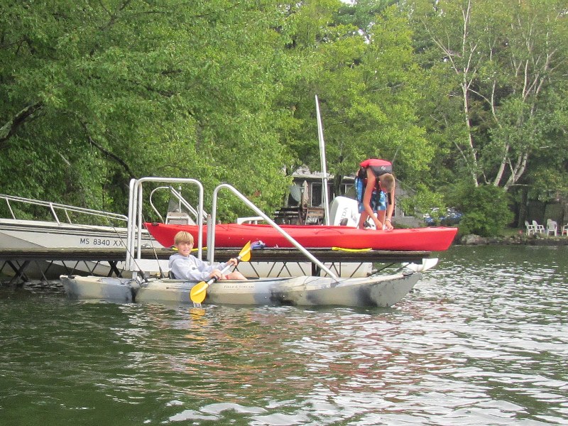 A kid on a kayak on Alum Pond.

 Here's my landing and there is my truck.
I was paddling for 50 minutes. |