 Kayaker

| |||||||||||||||||||||||


|
Download printer-friendly
PDF version that fits in one page: |

|
|
Other resources:
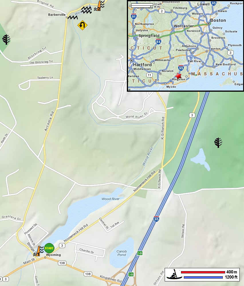
Explore RI's Blueways and Greenways: Wyoming Dam Access Explore RI's Blueways and Greenways: Wyoming Pond at Skunk Hill Road Access RI's Parks: Arcadia Management Area Wood-Pawtucket Watershed Association Public Access to the Rhode Island Coast: The Wood & Pawcatuck Rivers Page 15 Public Access to the Rhode Island Coast: The Wood & Pawcatuck Rivers Page 15 (cached copy) All photos in this website are original and copyrighted. 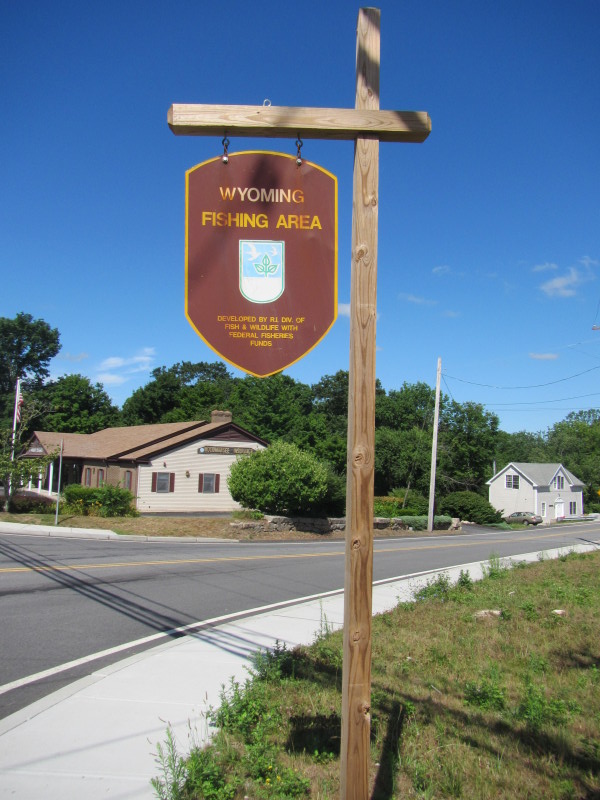
At Wyoming Pond launch area in Wyoming RI. Trip date is July 2012. 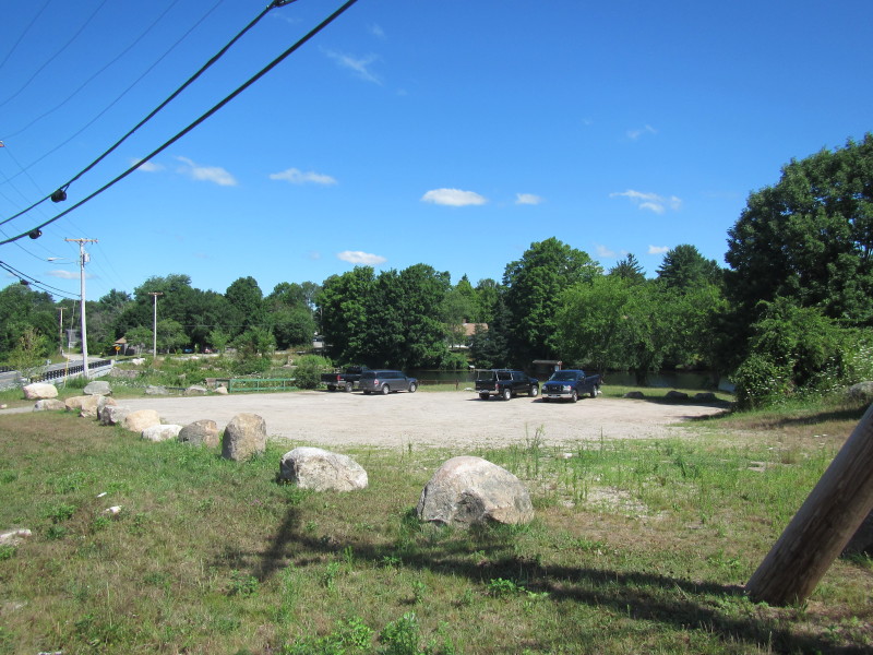 Parking area at Wyoming Pond launch.
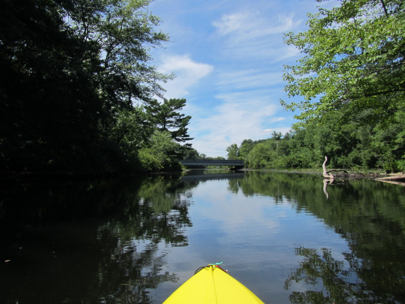
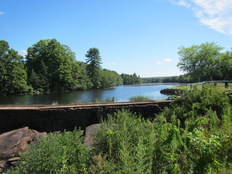 Wyoming Pond and Dam viewed from Route 3 bridge.
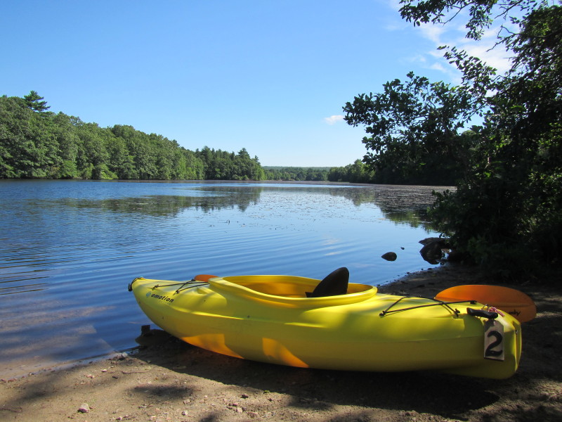
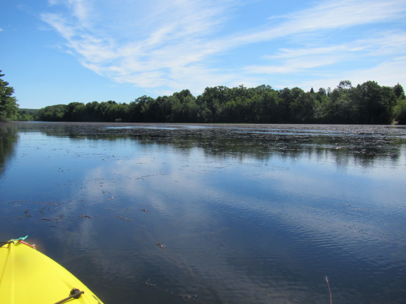
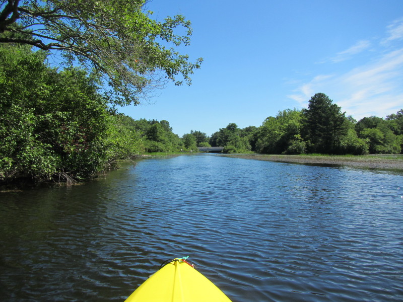
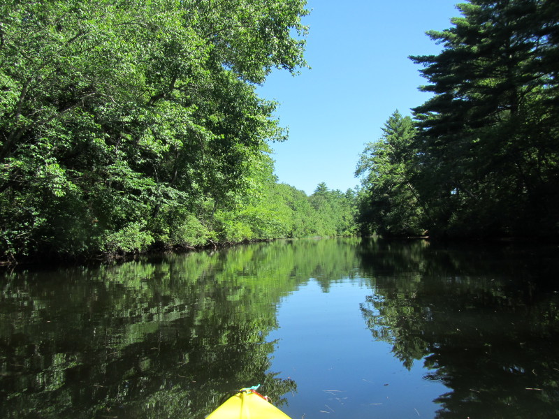
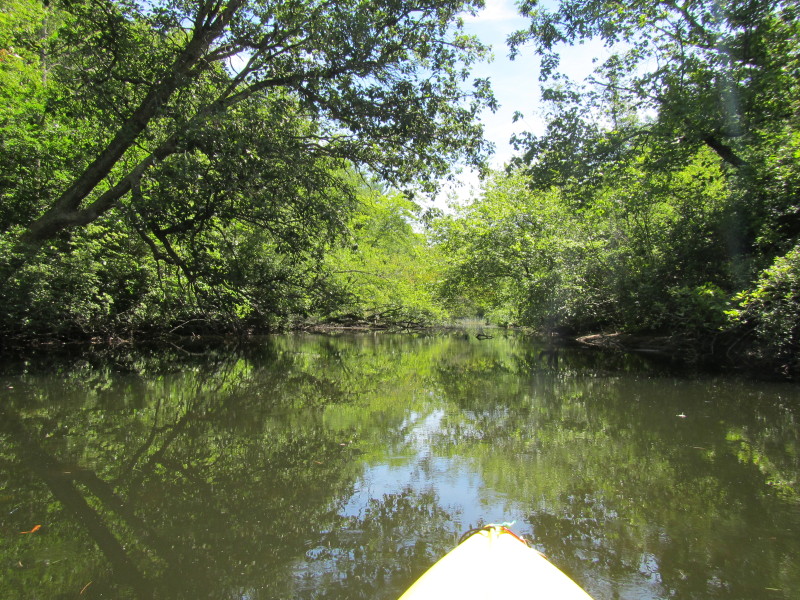
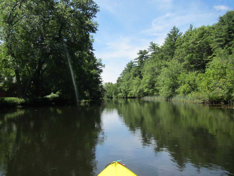
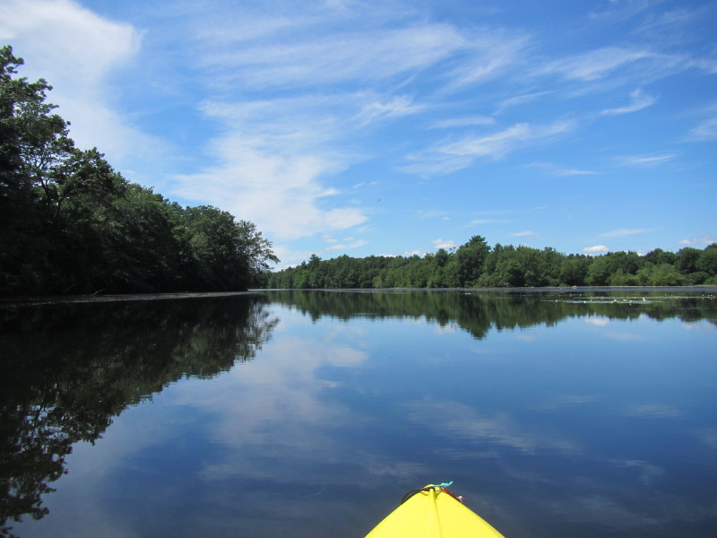
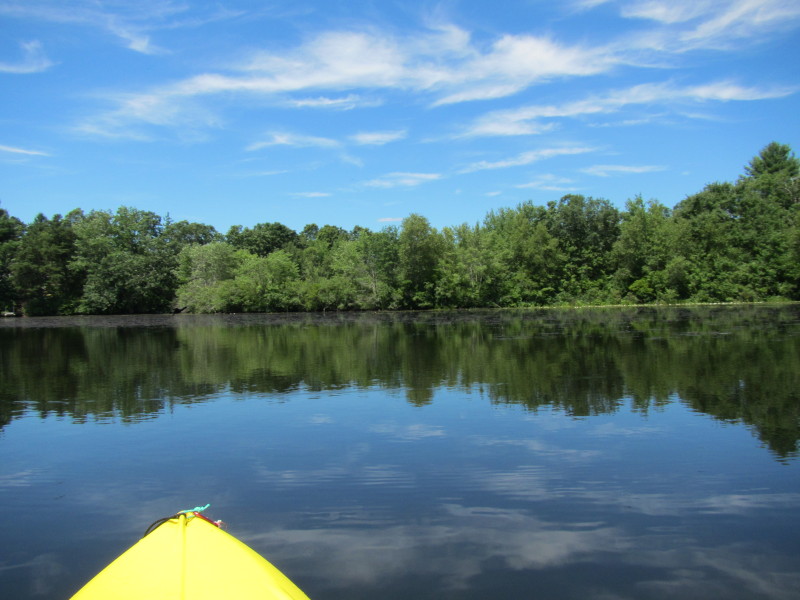
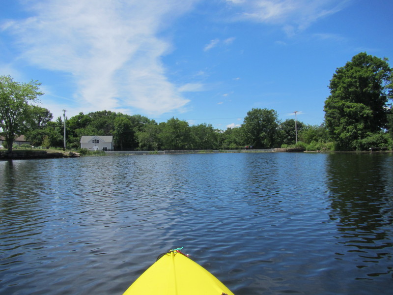
 Just launched on Wyoming Pond.
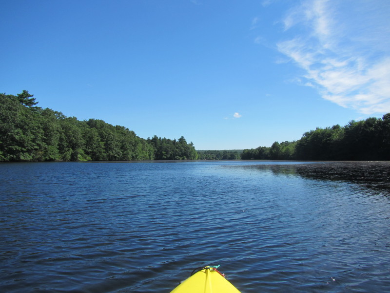
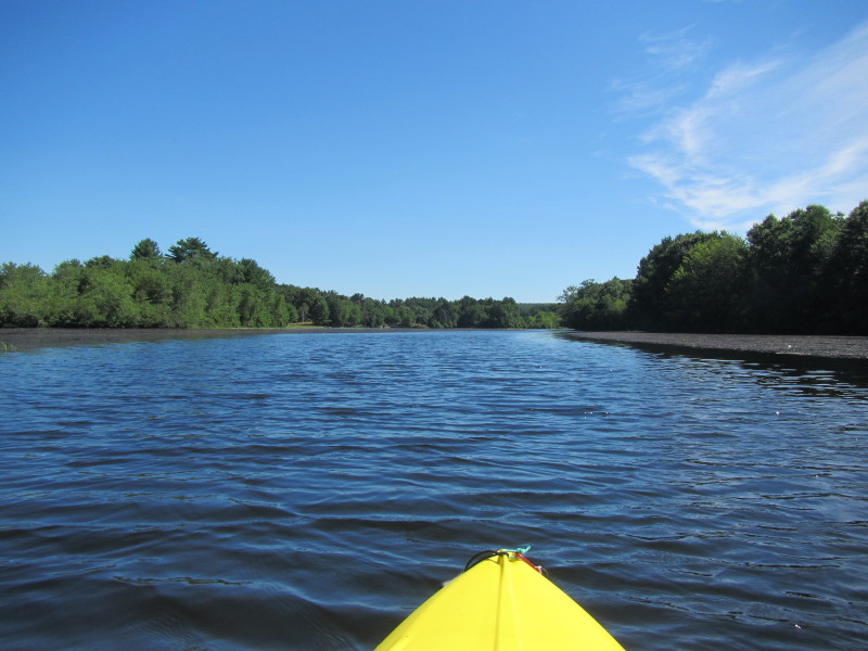
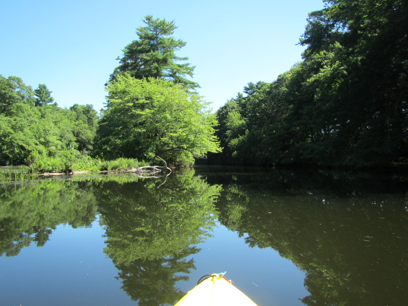
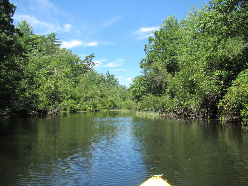
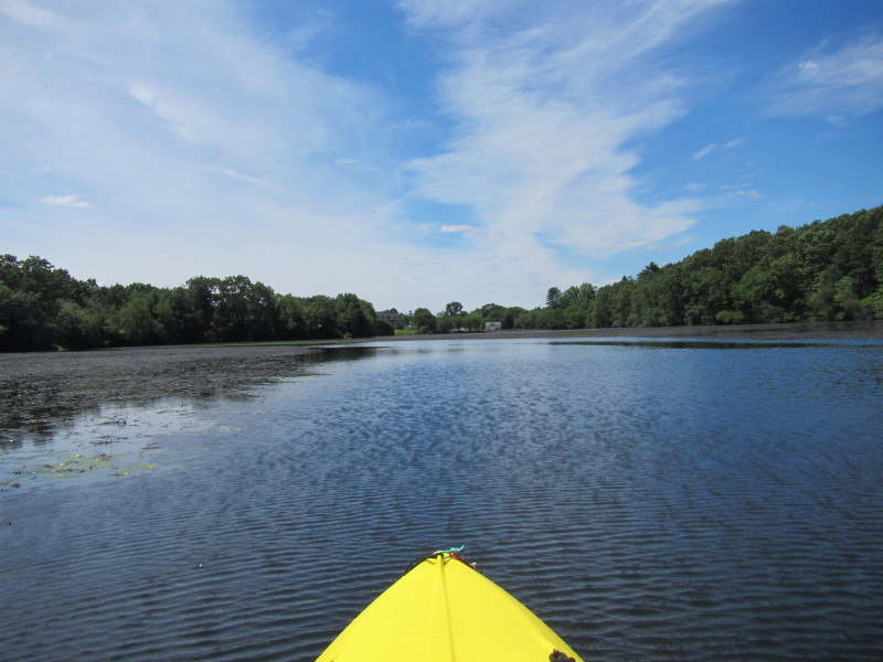
 Trip plan is as mapped above: to paddle upriver north to Wood River as far as I can and return.
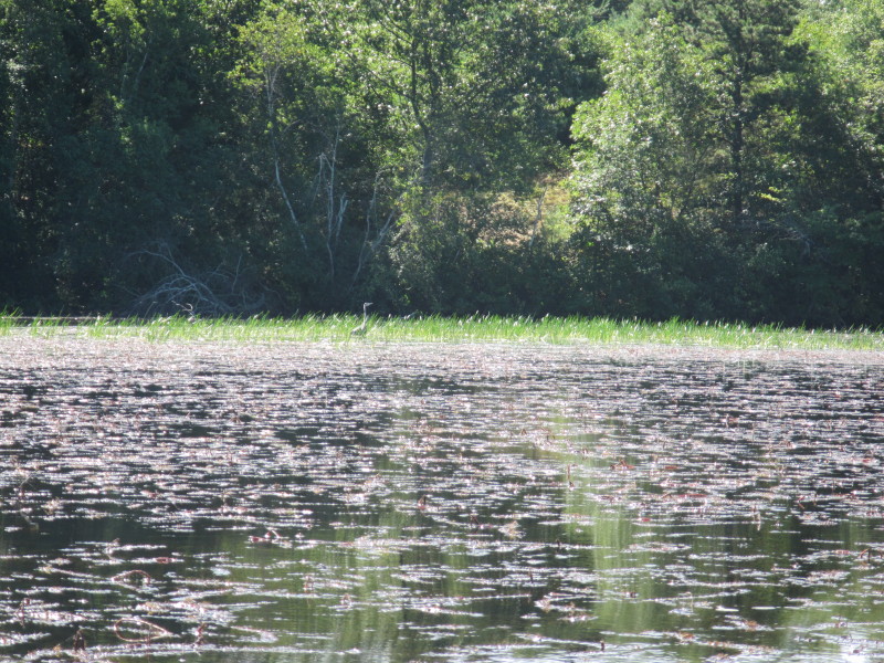
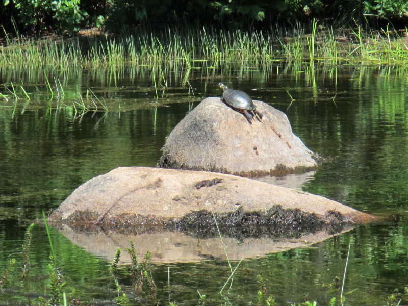
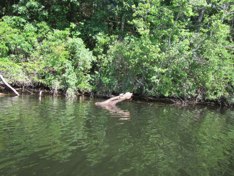 A turtle sunbathing on Wyoming Pond.
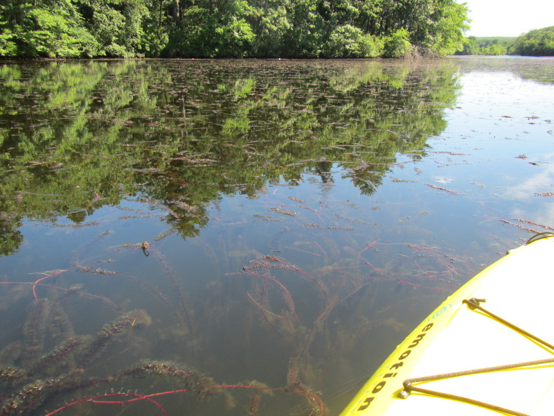 Aquatic plants.
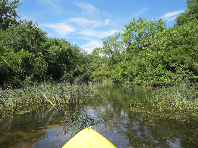
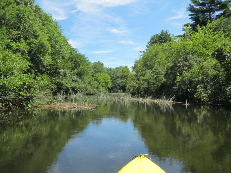
 The sides of Wyoming Pond is filled with aquatic plants.
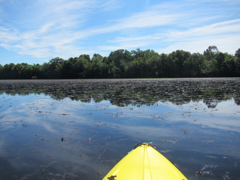
Will try to follow the main flow of the river clear of vegetation.
The sides of Wyoming Pond is filled with aquatic plants.
Will try to follow the main flow of the river clear of vegetation.
 I will follow this main flow of the water but paddling upstream.
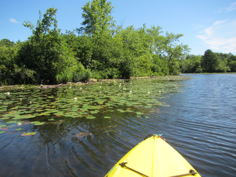 Water lilies.
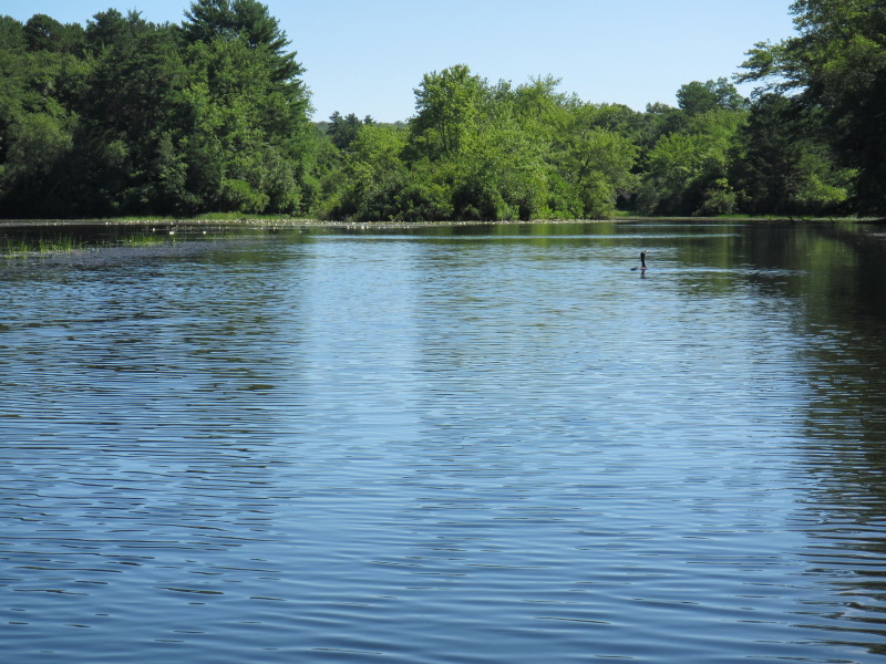
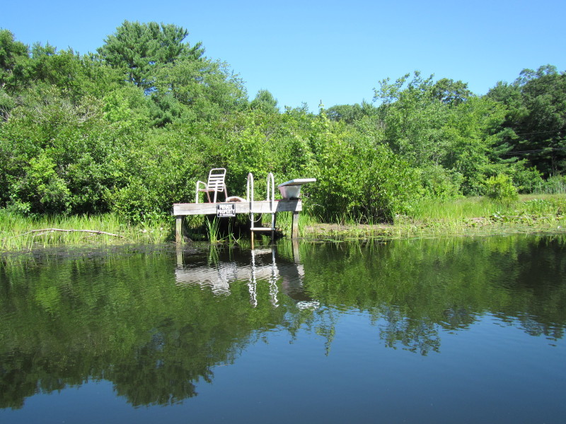
 This nudist is not shied with my presense.
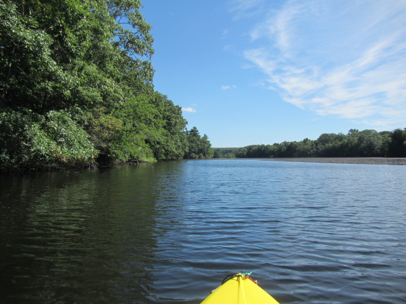
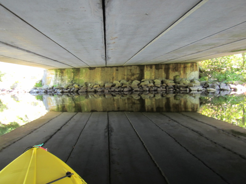
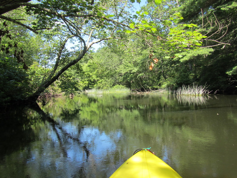
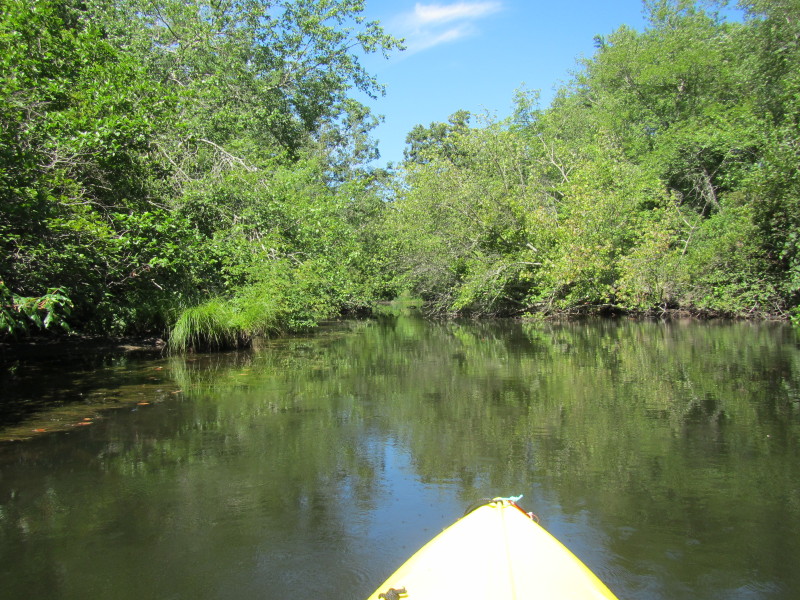
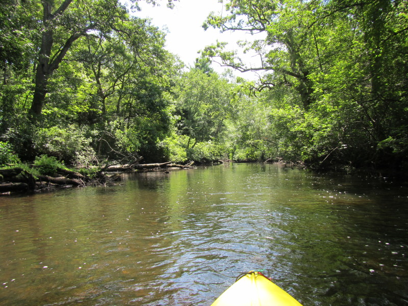
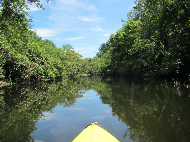
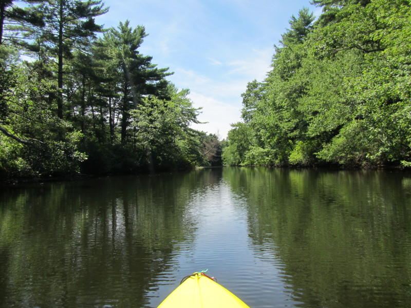
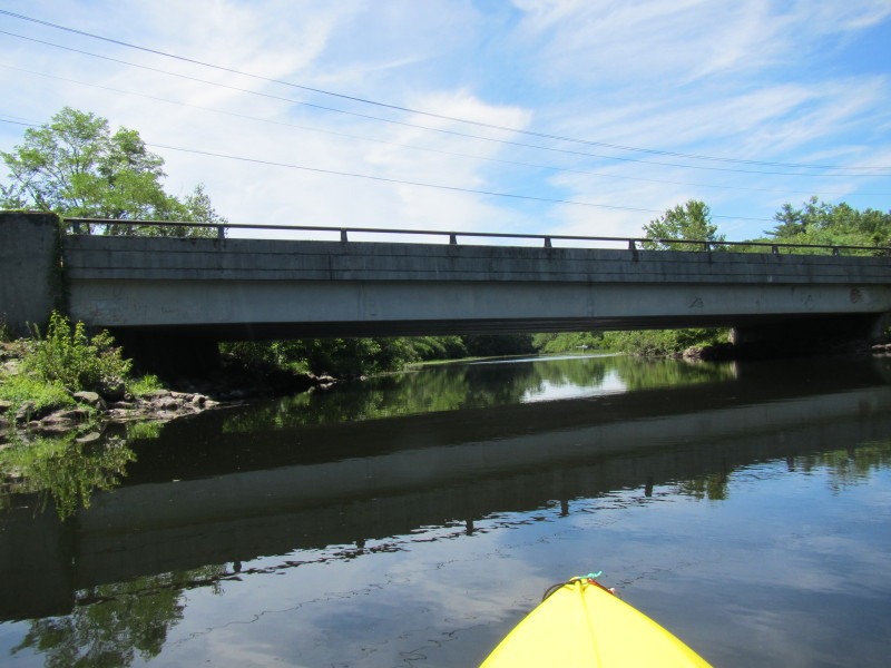
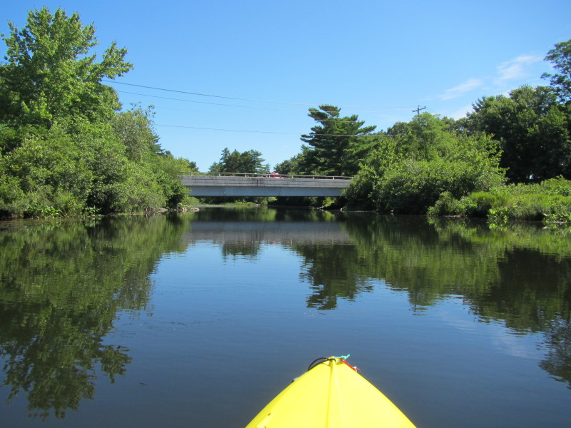 Skunk Hill Road bridge. I am now leaving Wyoming Pond and onto Wood River.
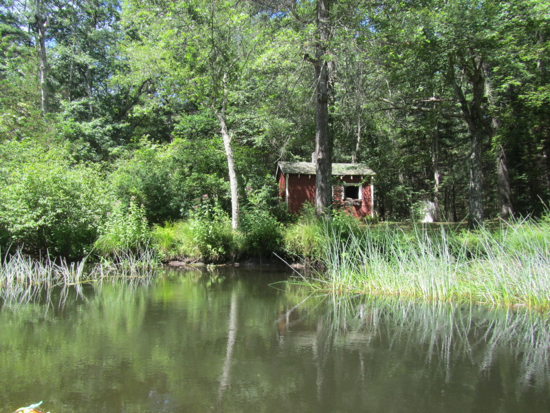
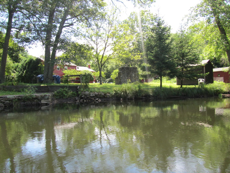
 I liked that outdoor fireplace!
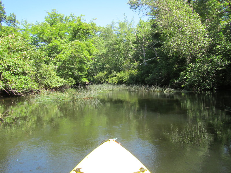
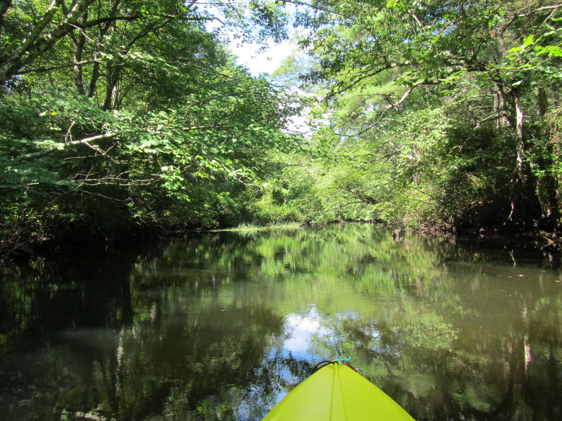
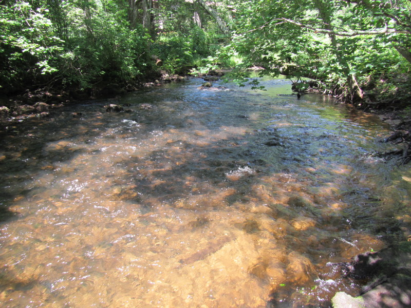
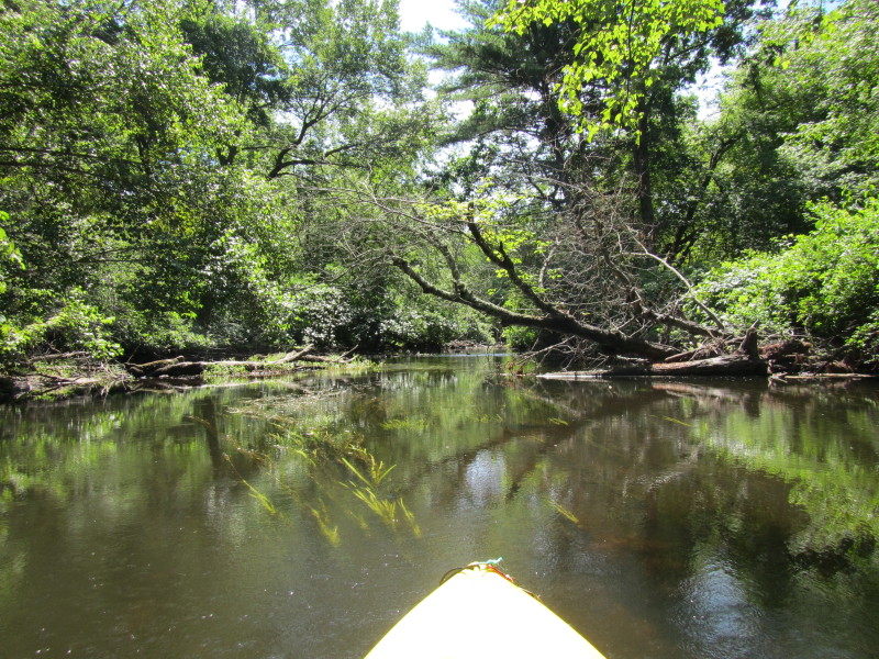
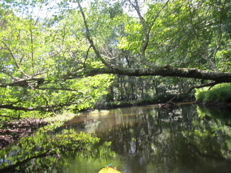
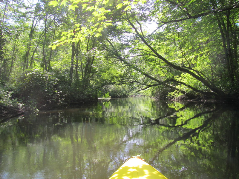
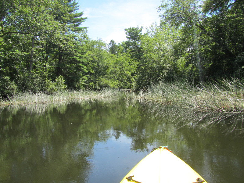
 Marshy area. River depth about up to my knees.
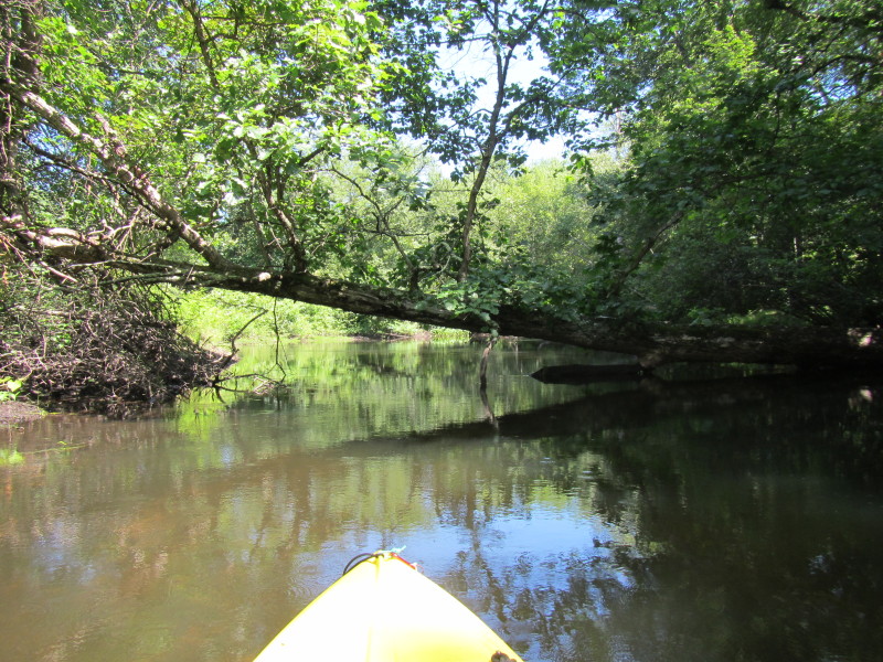

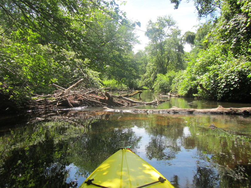
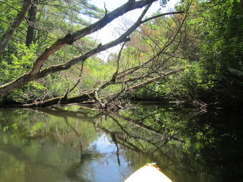
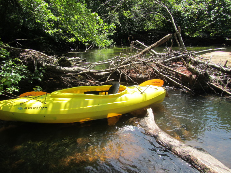 I have to portage over this tree. Easy because river is below my knees.
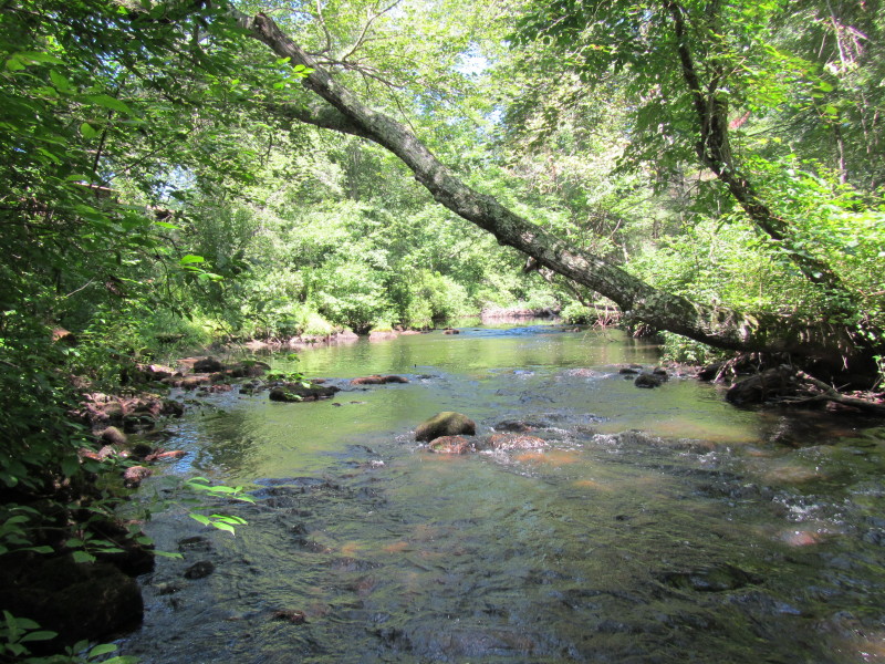
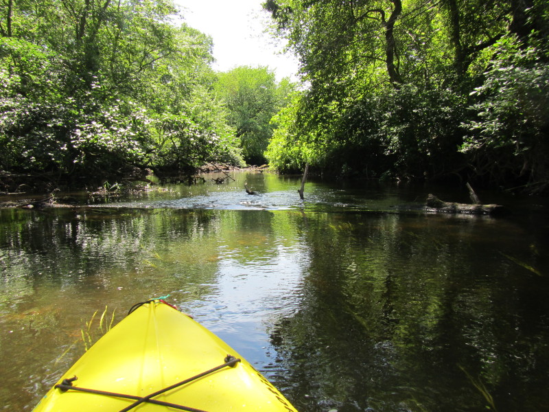
 I finally reached this rapids.
 I dismounted and walked to the rapids to see what lies beyond.
 Looking donwstream from the rapids. Time to start my return journey.
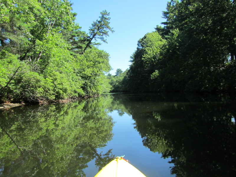
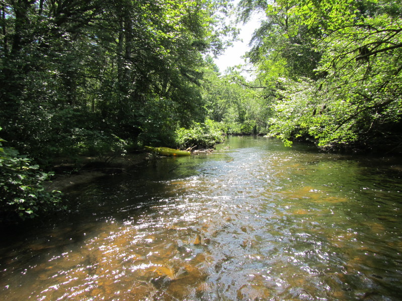
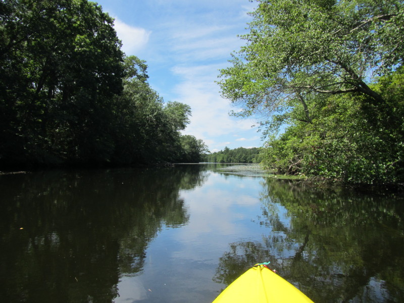
 Now paddling downriver to get back to where I started.
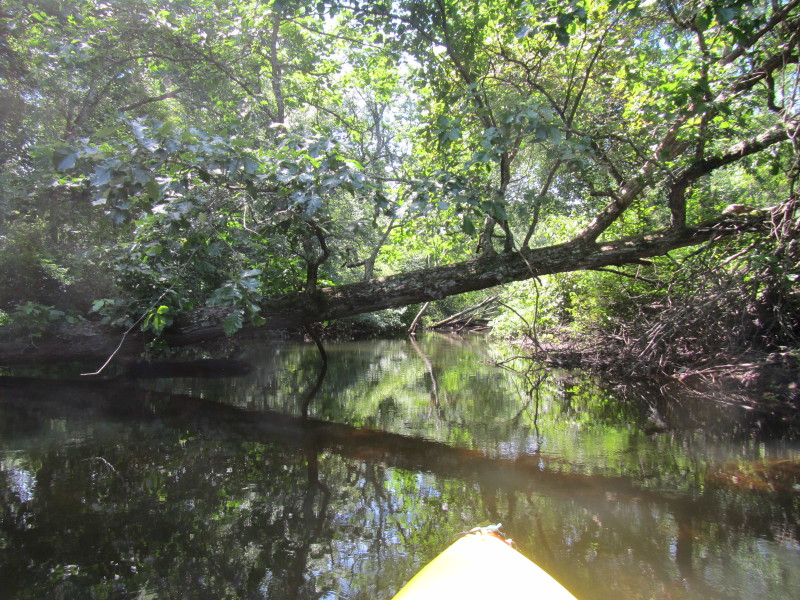
 I have to slide over this tree which is about 2 inches below water.

 Skunk Hill Road bridge.
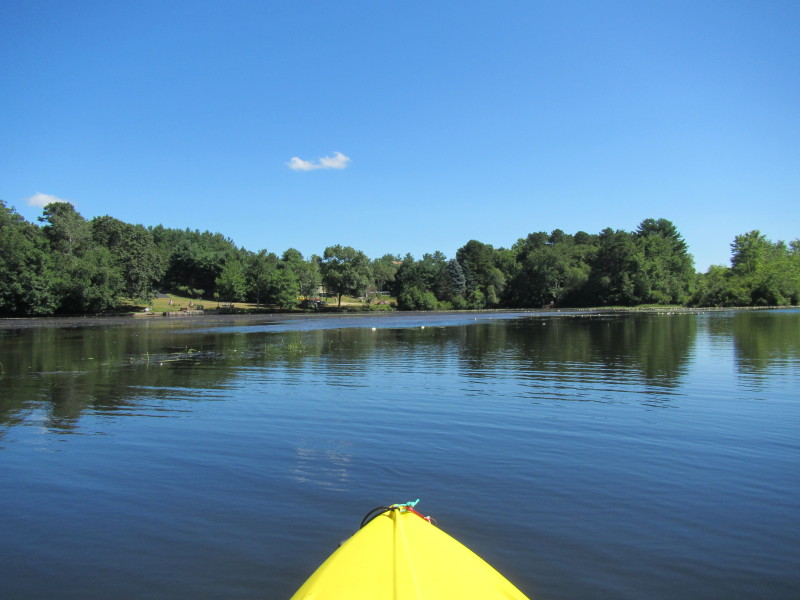
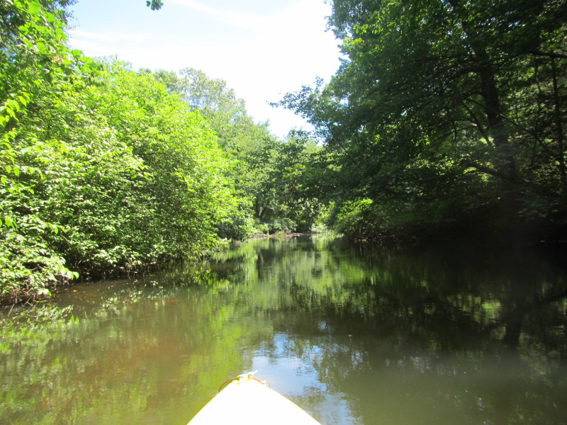
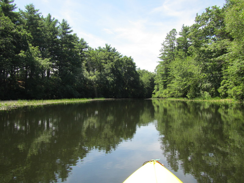
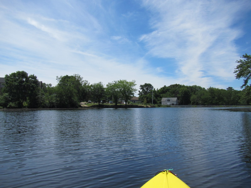
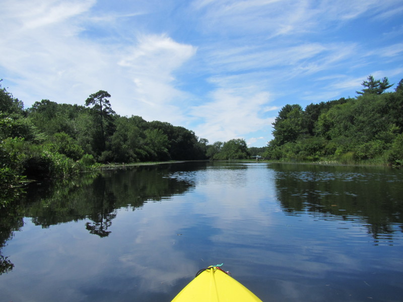 Now entering Wyoming Pond.
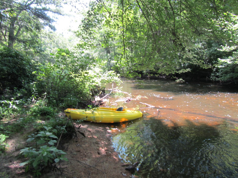
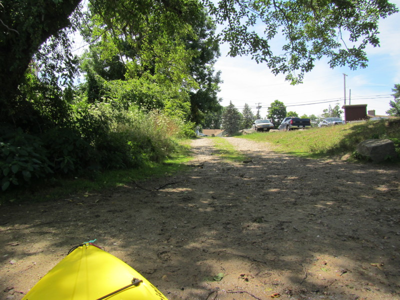 The Boston Kayaker has landed!
Two hours and 15 minutes on the water.
The Boston Kayaker has landed!
Two hours and 15 minutes on the water.
|