|
Download printer-friendly
PDF version that fits in one page: |
Other resources:
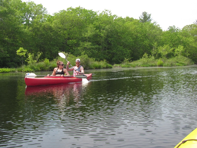
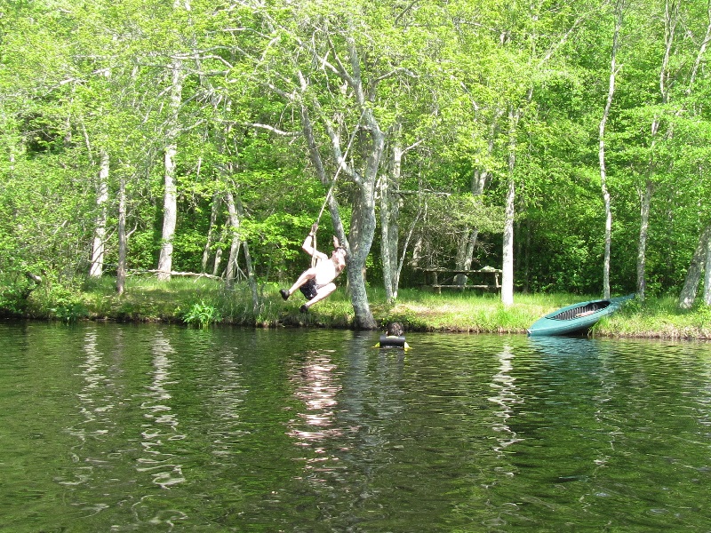
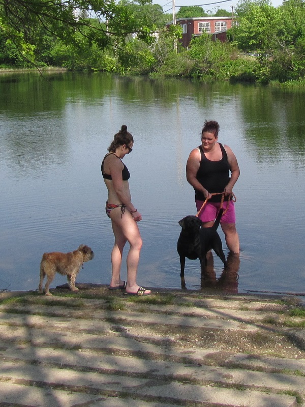
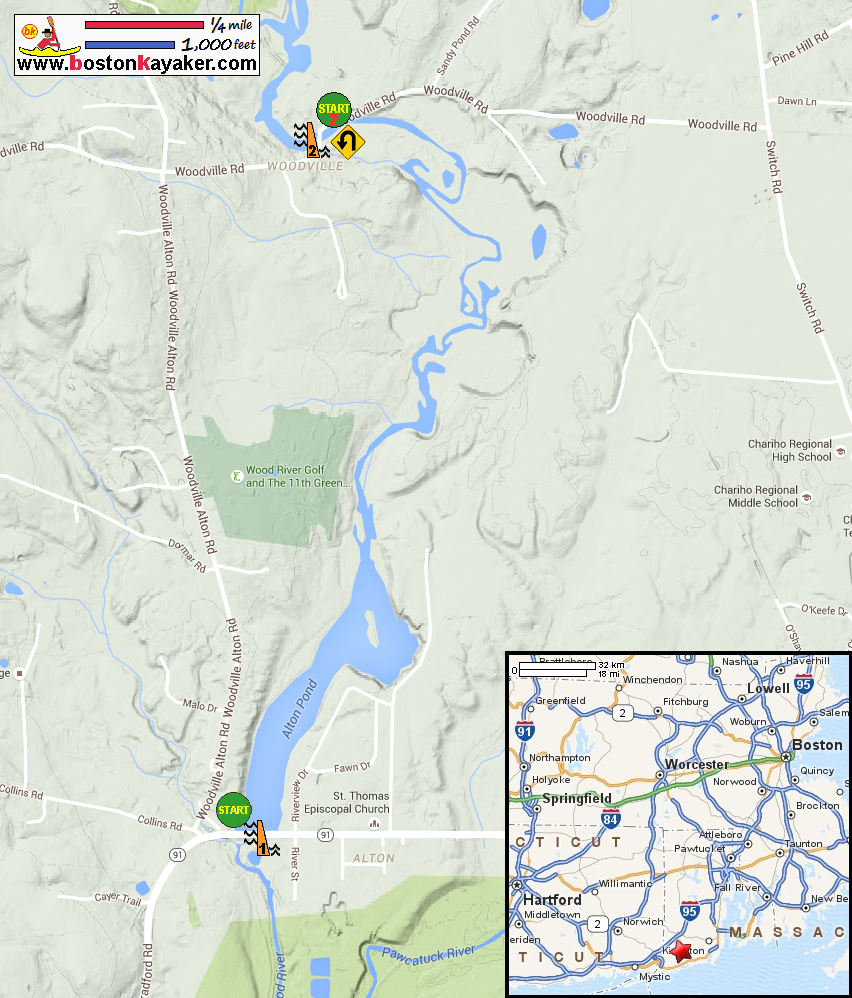
Wood-Pawtucket Watershed Association Public Access to the Rhode Island Coast: The Wood & Pawcatuck Rivers Page 15 Public Access to the Rhode Island Coast: The Wood & Pawcatuck Rivers Page 15 (cached copy) Explore RI's Blueways and Greenways: Alton Dam Landing Paddling.net: Wood River Kayak Trip Report All photos in this website are original and copyrighted. At Alton Pond access at Woodville Alton Road in Wood River Junction RI. Trip date is May 2016. It's Memorial Day weekend and this access area is busy and the parking lot full. Just after launch, looking to my left is the top of the Alton Dam. Now paddling upriver northwards. This pond will eventually narrow . . . Wood River. A picnic area on the left bank. I am now close to the Woodville Road which means I am nearing the Woodville Dam. Solar panels on the roof. The alternate access I have identified in the kayak map. Approaching Woodvile Road bridge. I can see Woodville Dam just beyond the bridge. At the bottom of the Woodville Dam on Wood River. Just turned around and now paddling downriver. Some people prefer to use this alternate access. I prefer to start going upriver . . . A guy on a jumprope over the Wood River. I can see the Church Street bridge. Just before that is the take-out. Total paddle time is 1 hour 45 minutes. |