 Kayaker

|


|
Download printer-friendly
PDF version that fits in one page: |

|
|
Other resources:
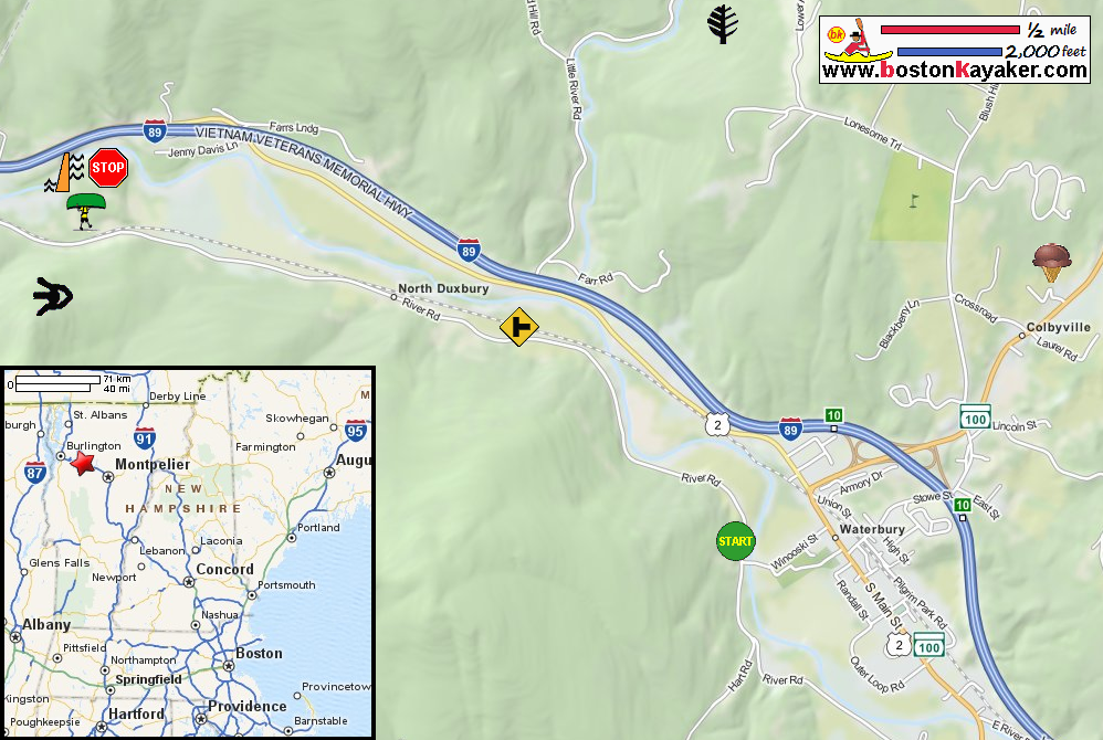
Friends of the Winooski Friends of the Winooski: Paddling Guide (16mb pdf), see pages 18 to 19 Friends of the Winooski: Paddling Guide (cached copy) Camel's Hump State Park Little River State Park Ben & Jerry's Ice Cream Factory Tour All photos in this website are original and copyrighted. Difficulty: Easy Description: A steady current flows through this section of the river, which is mostly flat. Shortly after Waterbury you will pass the Little River as it enters the Winooski. This stretch of the river passes through the Green Mountains, offering breathtaking views of both the Green Mountain Range and the Worcester Range. Camel’s Hump will be visible on the left. Rapids/Obstacles: None although paddlers should always watch for barely submerged rocks and woody debris. Put In: Take Out: 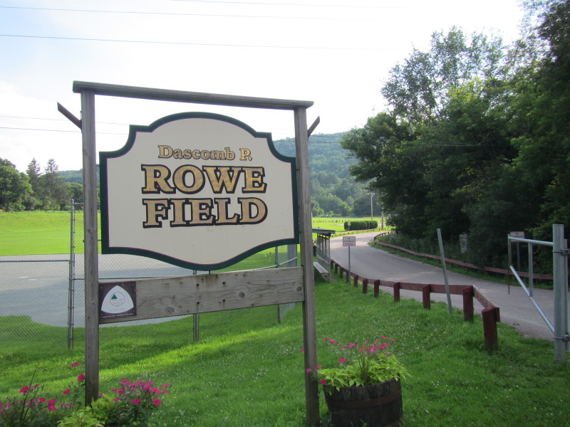 At the Rowe Field in Waterbury VT.
Pictures taken July 2013.  I walked along the river edge of this field and can not find a clear path
to the Winooski River.
I walked along the river edge of this field and can not find a clear path
to the Winooski River.
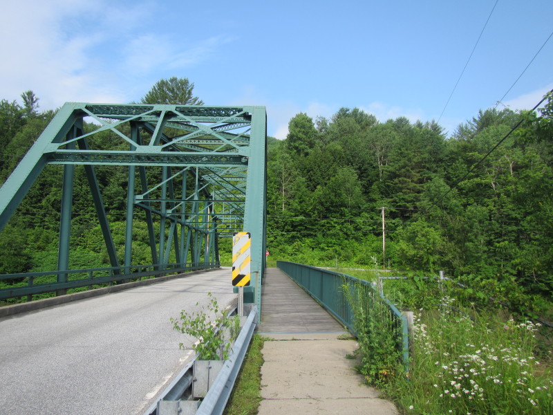 At the Winooski Street Bridge in Waterbury VT.
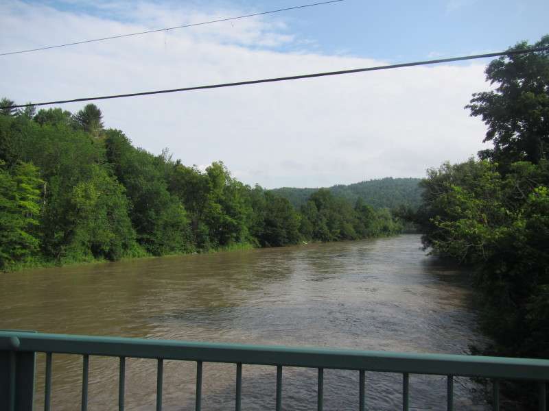 Looking downstream at the Winooski River from the Winooski Street bridge in Waterbury VT.
An informal and suitable put in is on the left northwest of bridge.
Looking downstream at the Winooski River from the Winooski Street bridge in Waterbury VT.
An informal and suitable put in is on the left northwest of bridge.
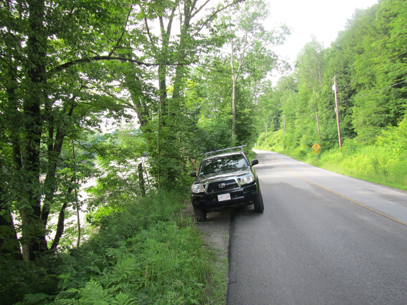 At River Road on the northwest of Winooski Street bridge is a small patch of access to Winooski River.
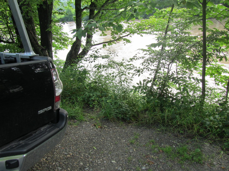 Informal put in to the Winooski River at River Road in Waterbury VT.
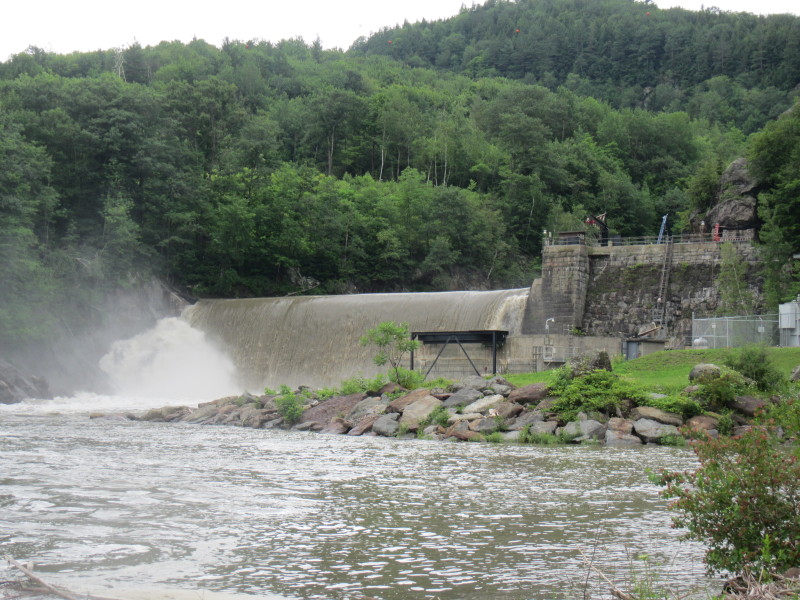 The Bolton Dam at Power Plant Road in Waterbury VT.
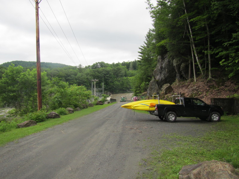 At the right of this picture is the portage path to the take out above the dam.
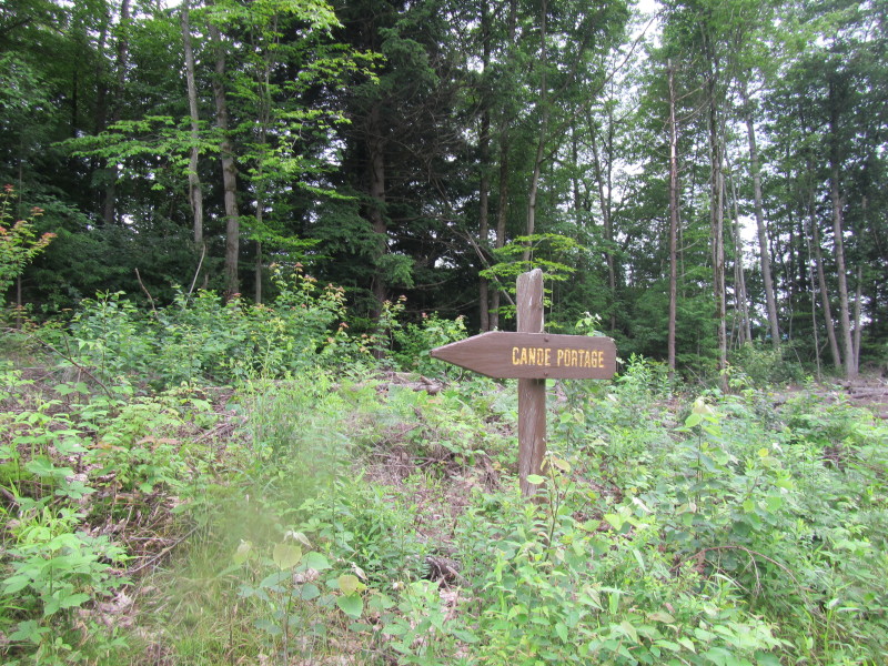
 Canoe portage sign.
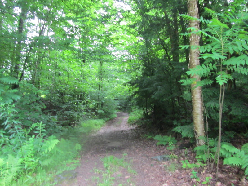 The portage path is long and on a hilly terrain.
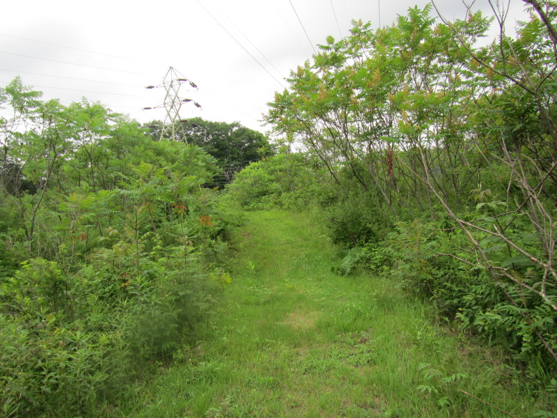 Even just plain walking without portaging a kayak, the path to the take out above
the dam is too much for me.
Even just plain walking without portaging a kayak, the path to the take out above
the dam is too much for me.
 I turned around and never got to the take out above the dam.
|