|
|
Download printer-friendly
PDF version that fits in one page: |
|
|
Other resources:
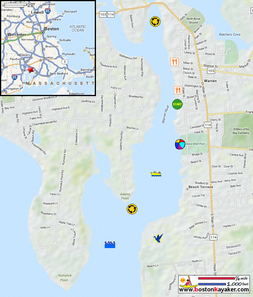
Explore RI's Blueways and Greenways: Warren Town Dock in Warren RI All photos in this website are original and copyrighted. This town-owned boat ramp provides access to the Warren River, which is a busy river densely lined on both sides with docks, houses and boats. Heading north from this put-in, you can go straight up the Palmer River, which shortly opens up into a wider area, half a mile wide and over two miles long. You can also turn west (left) and go up the Barrington River, at the head of which is One Hundred Acre Cove, three miles up river. Heading south from the Warren Town Landing takes you to the broad, open waters of Narragansett Bay, a 1 1/2 miles south of the put-in. On most days the southwest wind fills in across this area in the morning and blows throughout the afternoon, so be prepared for this when planning your trip. WARNING: The tide runs very strongly through the narrow areas in both the Barrington and Palmer Rivers, especially under bridges, including the Route 103/114 bridges over both rivers and the adjacent bridges for the bike path. These areas are treacherous for small boats. Use great caution if you are heading north from the Warren Town Dock up either river! Remember that at slack tide there may be little or no current but a short while later the current may be very strong. Trip date is June 2015. On the right is an old abandoned mill factory. 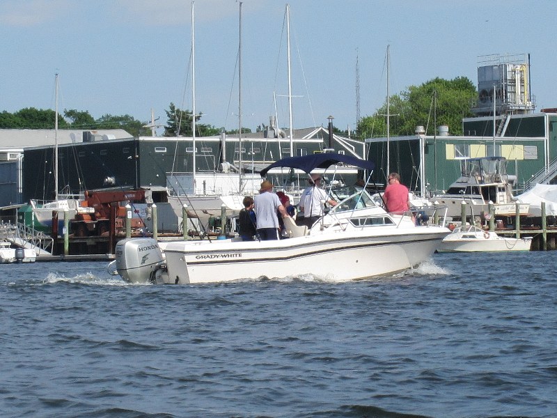 To my left in the middle of the Warren River is a busy thouroughfare of powered boats.
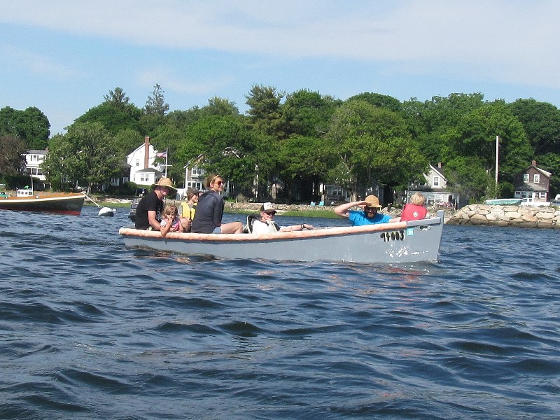
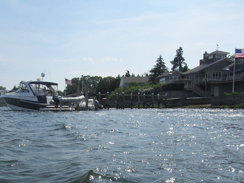 Nice boat.
At the center of the picture on the horizon is the Rumstick Point. I decided to turn around at this point. Straight ahead in the middle of the picture is the town ramp that I launched from. 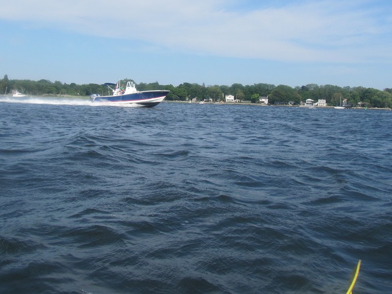 On my right is a speeding boat on Warren River.
|
