 Kayaker

|


|
Download printer-friendly
PDF version that fits in one page: |

|
|
Other resources:
All photos in this website are original and copyrighted. 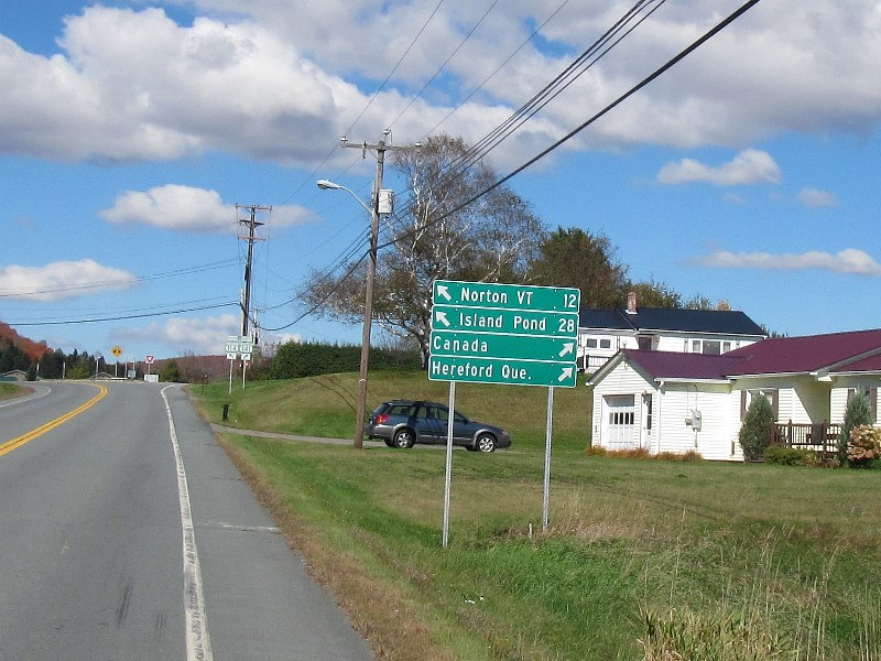 Enroute to Lake Wallace along Route 114 in Canaan VT.
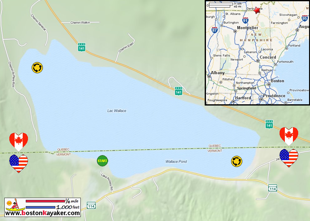
Make a wrong turn and you will get to Canada. 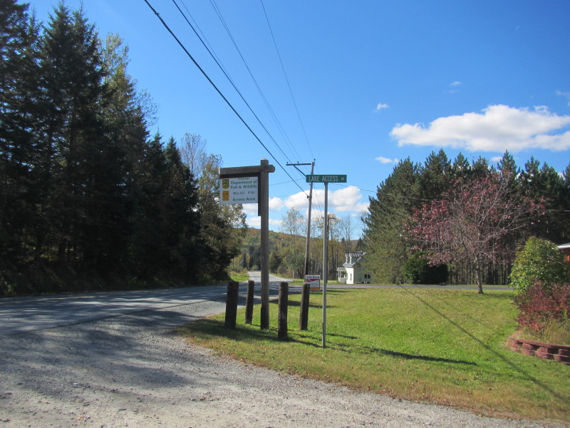 Access to Lake Wallace is on the appropriately named
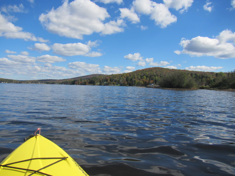
Lake Access Road off Route 114 in Canaan VT. Trip date is September 2013. 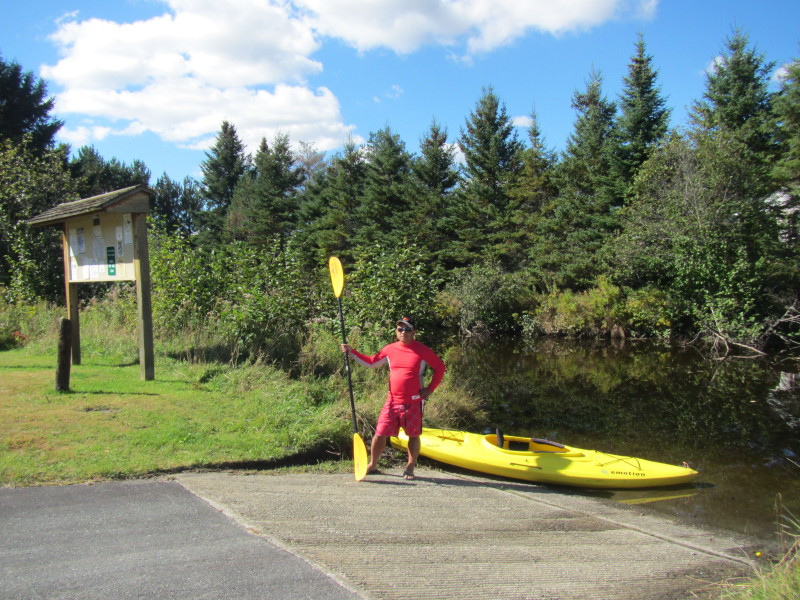 The Boston Kayaker ready to launch on Lake Wallace in Canaan VT.
 Just launched.
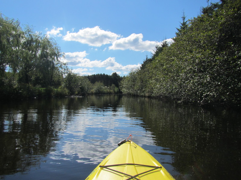
 Have to get out of this ramp inlet . . .
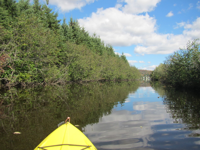
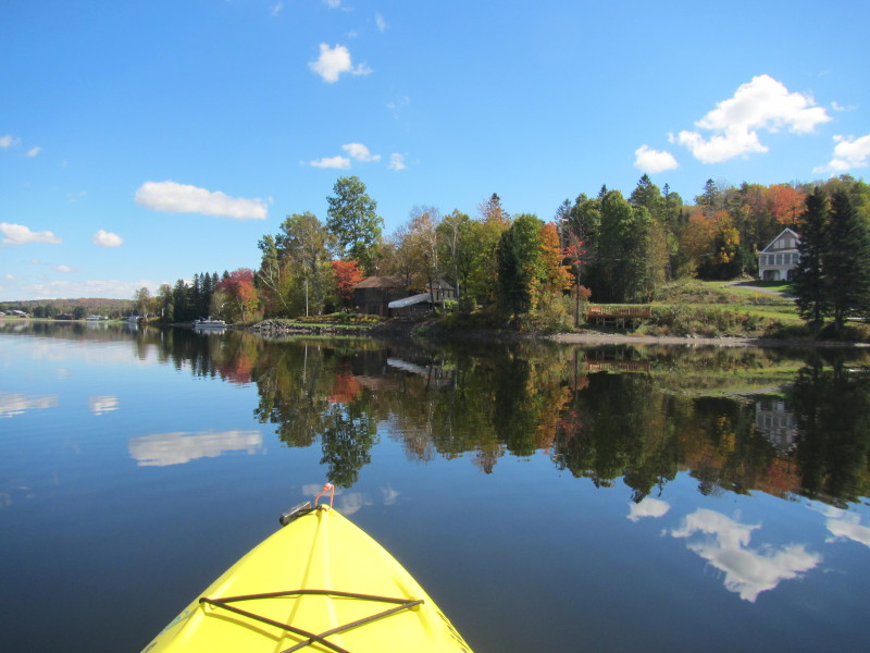
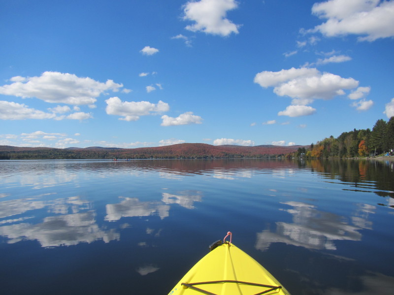
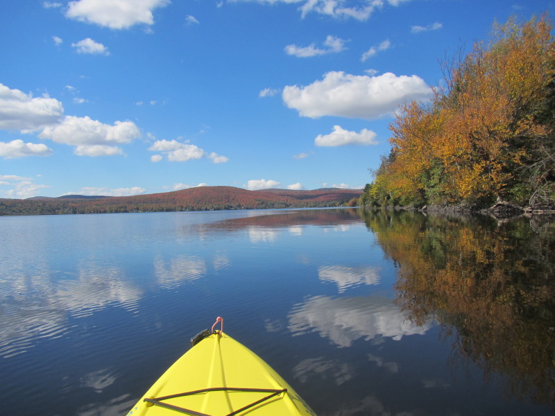
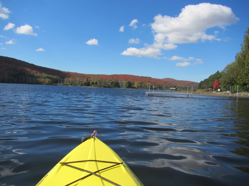
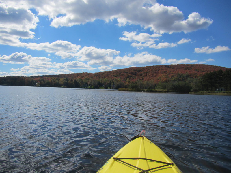
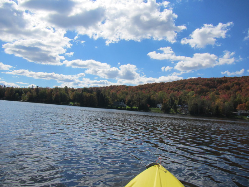
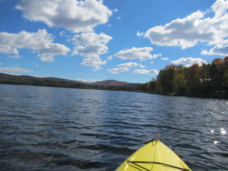
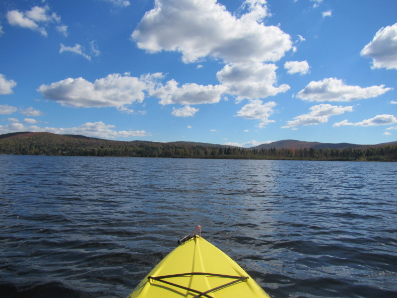
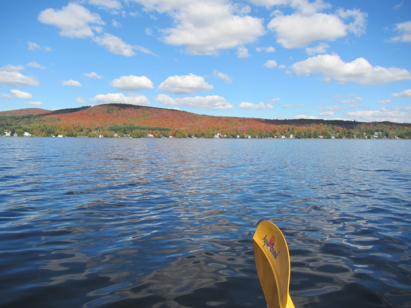
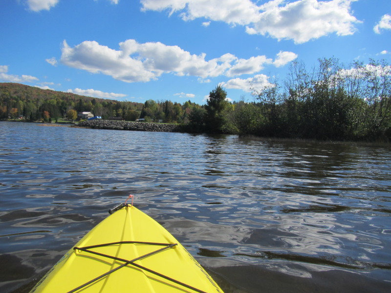
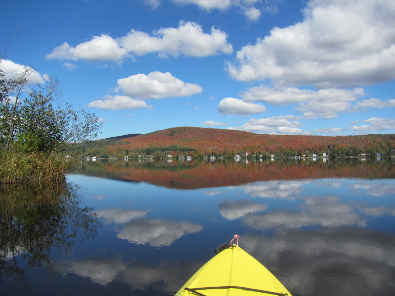 Out of the ramp inlet, directly in front of me is the northern Canadian side of Lake Wallace.
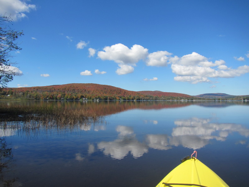
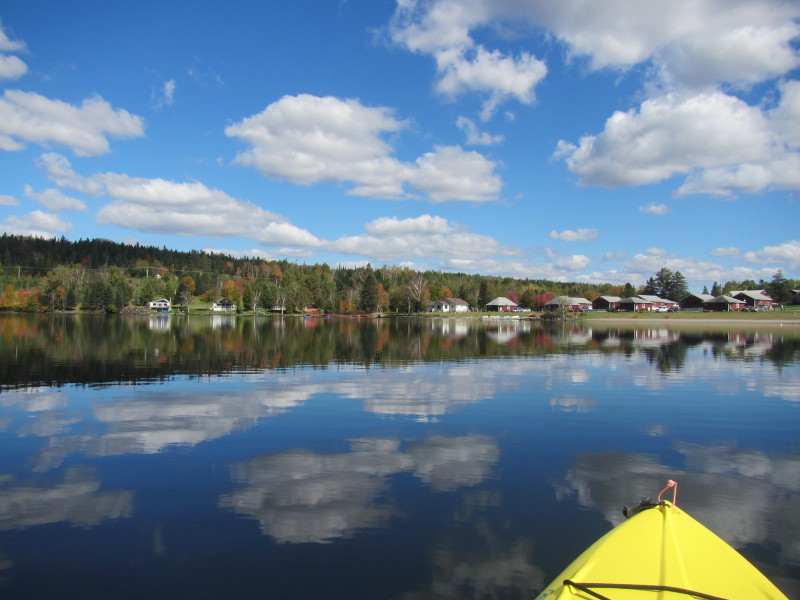
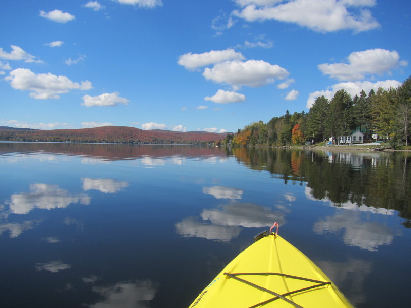
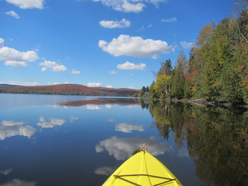
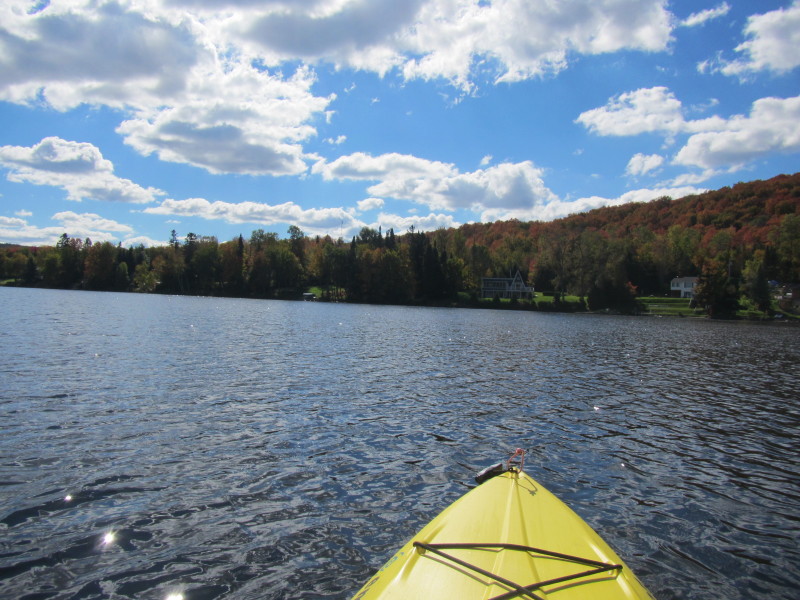
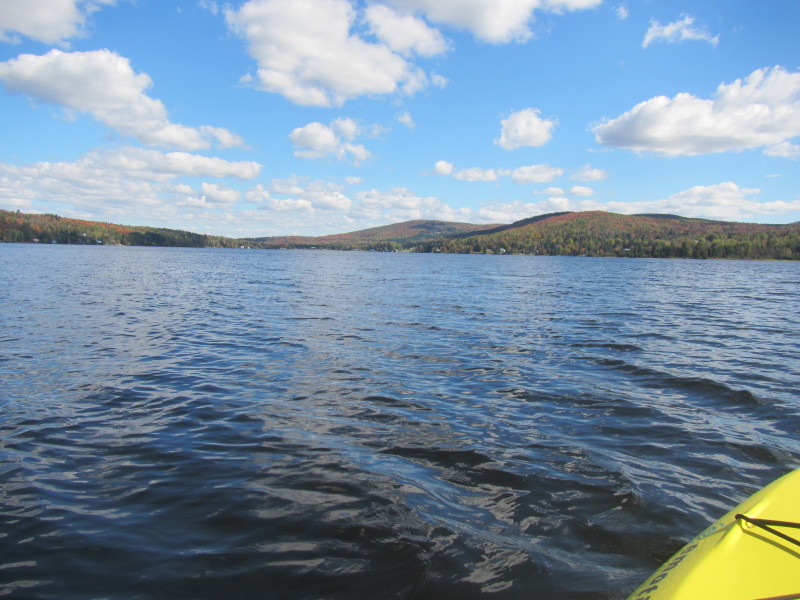
 Heading east along the southern shore.
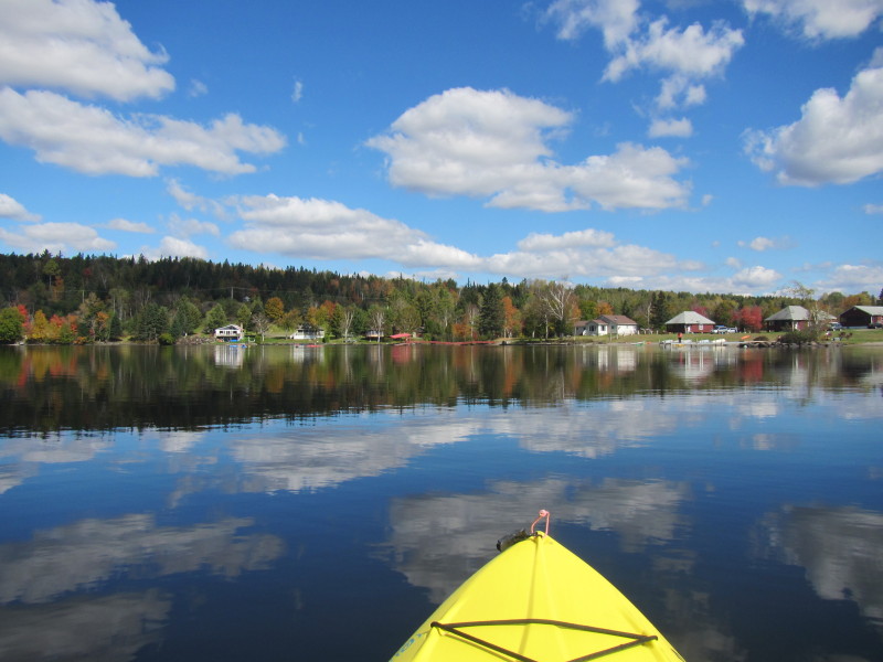
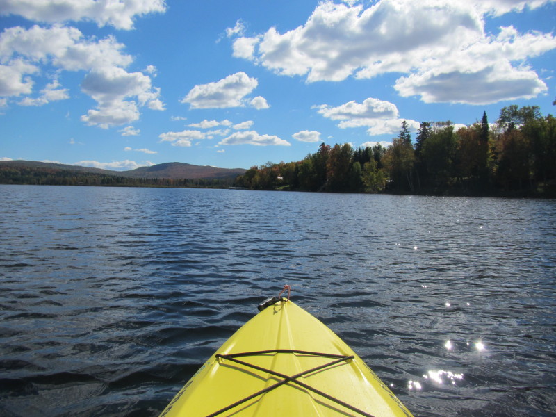
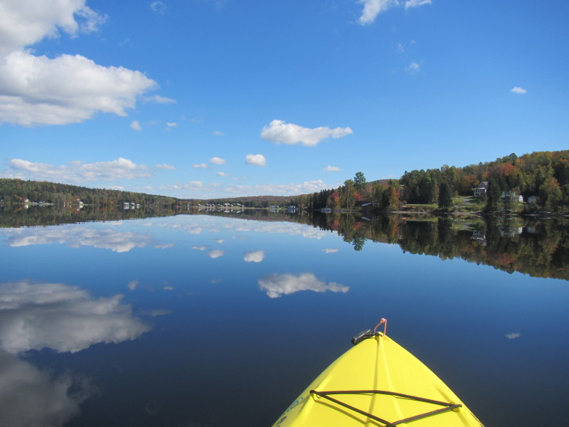 Will circle the lake counter-clockwise.
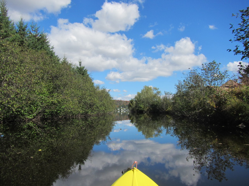
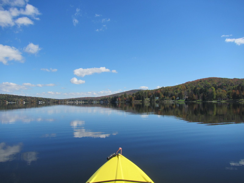
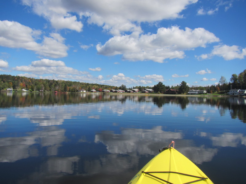
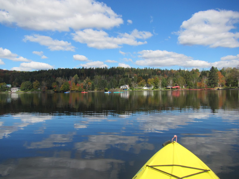
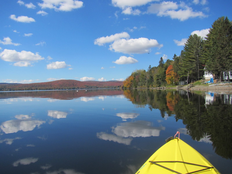
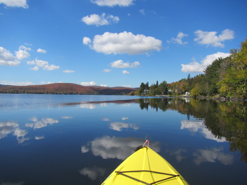
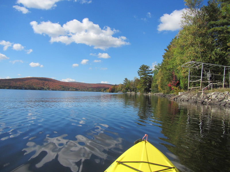
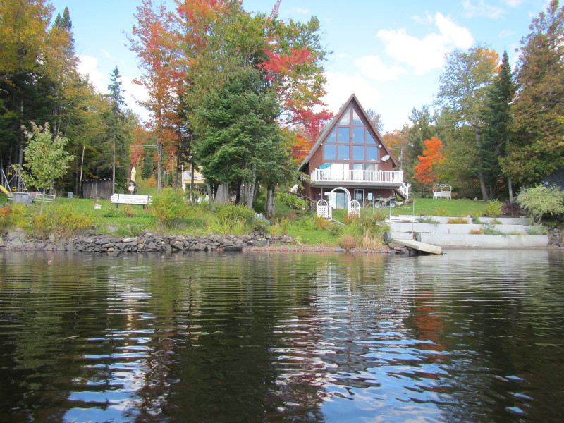
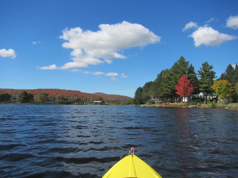
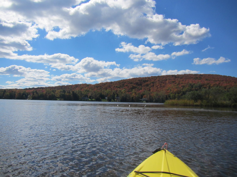
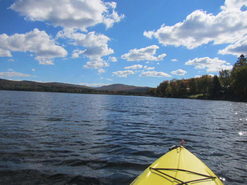
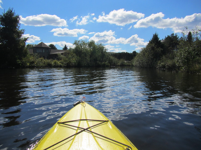
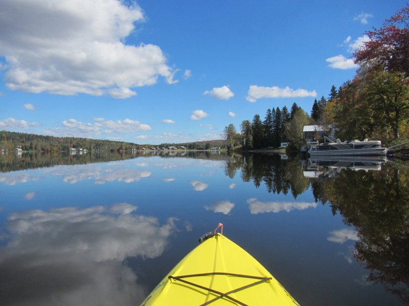 On the horizon (center of picture), the eastern side of the Lake Wallace is the Jackson Lodge cabins.
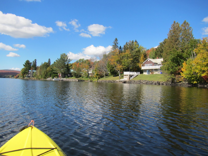
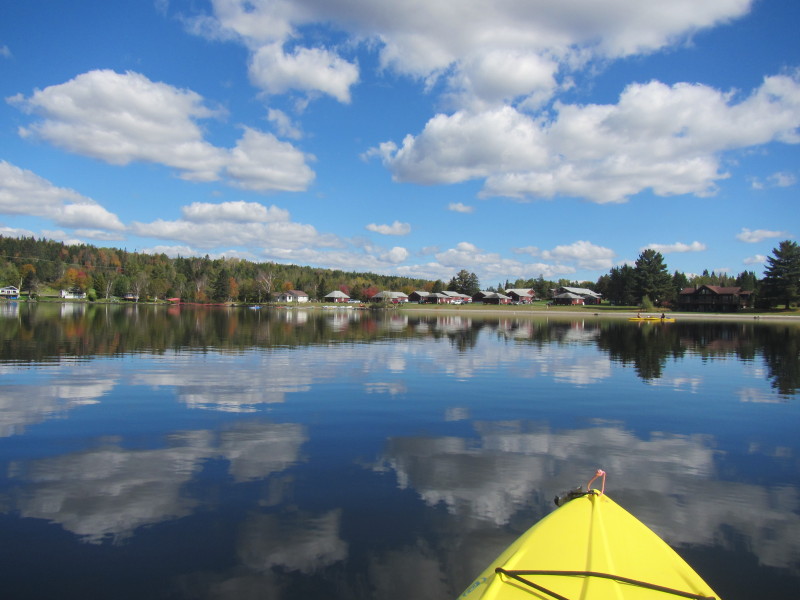 A couple of kayakers in front of the Jackson Lodge.
 Now veering to my left northwards.
 A group of kayakers just launched from Jackson Lodge.
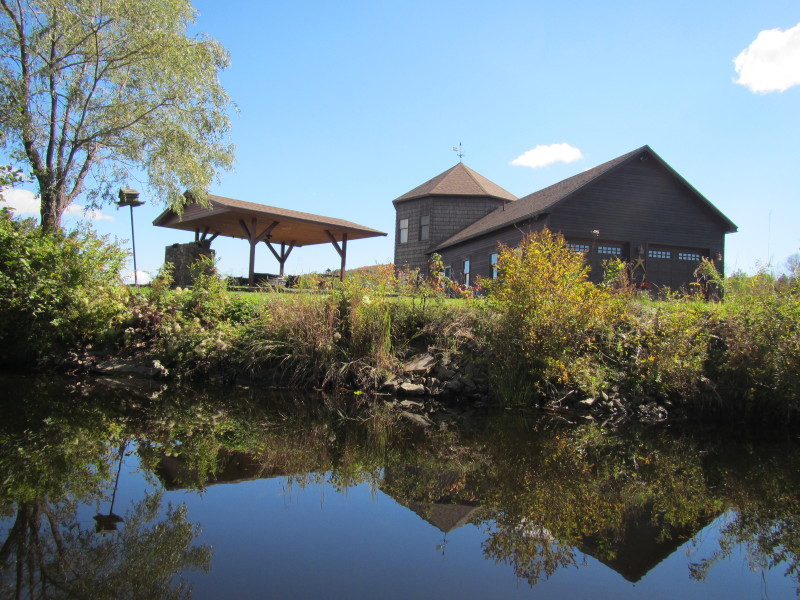
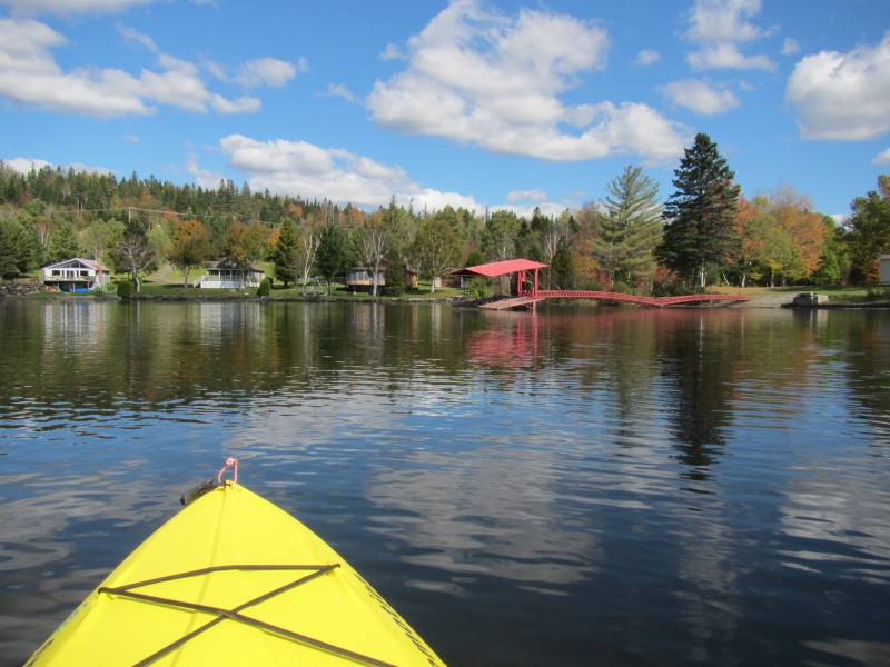 Not sure what this red structure is. But near that is the international border between U.S. and Canada.
 I am now on the northeast corner of the Lake Wallace and definitely on the Canadian side of the imaginary border.
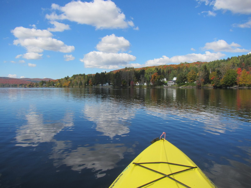
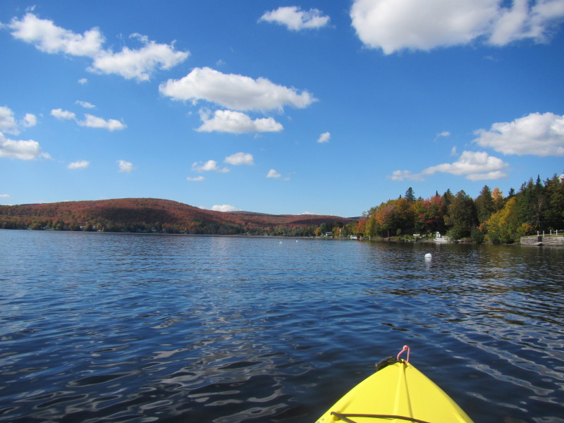
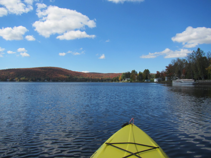
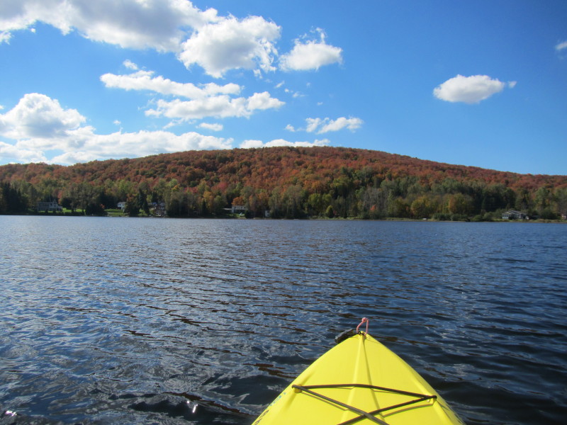
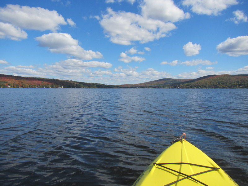
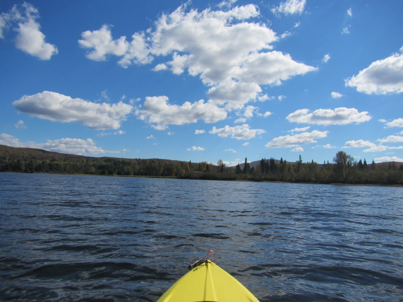
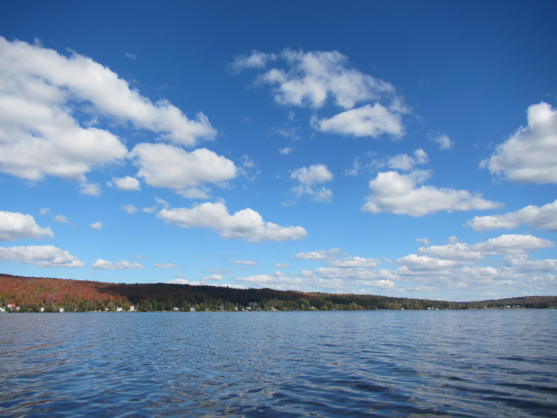
 Lake Wallace seen from the northeast corner.
 Now paddling westerly along the northern coast on my right.
 Looking on my left, the south shore of Lake Wallace.
 Continuing to hug the northern shore on my right.
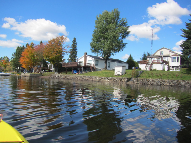
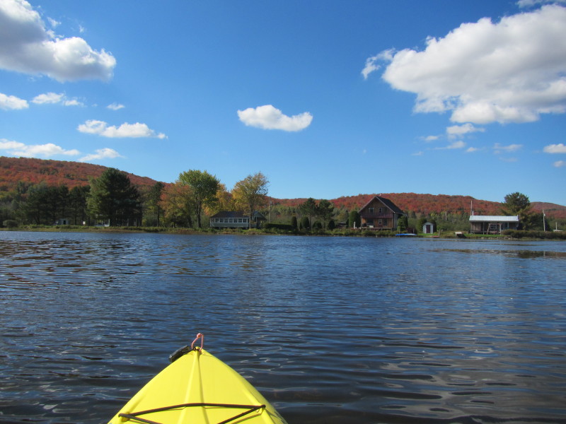
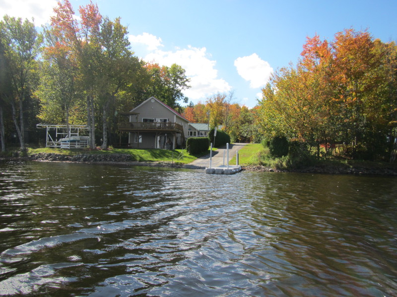
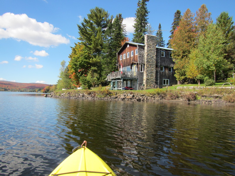 This house has a Canadian flag. The only visible indication I saw of being in Canada.
 I have now reached the northwesterly corner of Lake Wallace.
 Veering to my left, will paddle southerly along the western shore of Lake Wallace on my right.
 I am skipping this cove on my right and will continue to paddle in a straight line.
 Heading to the southwest corner of Lake Wallace.
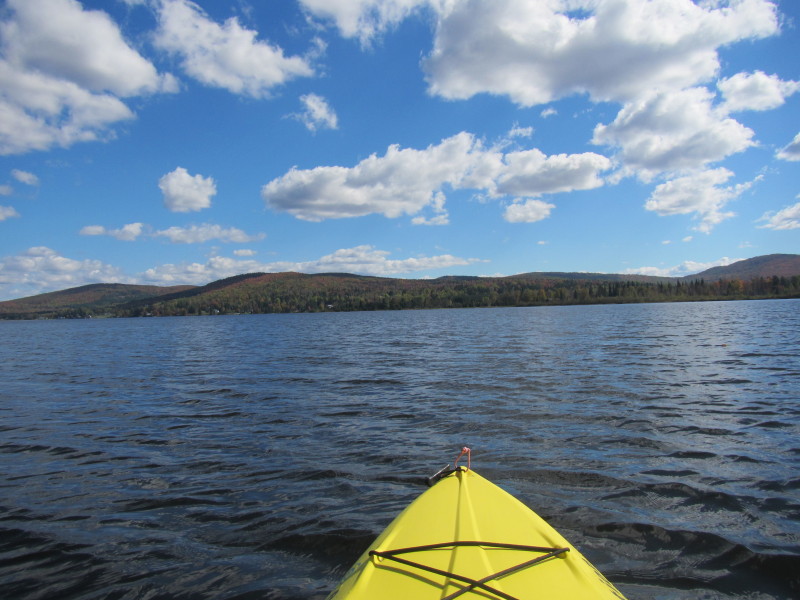
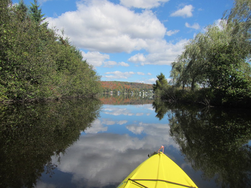
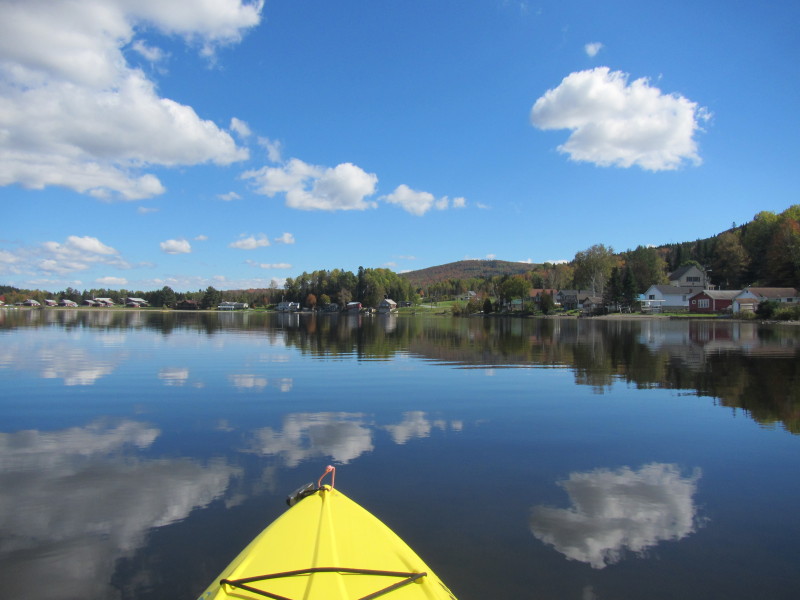
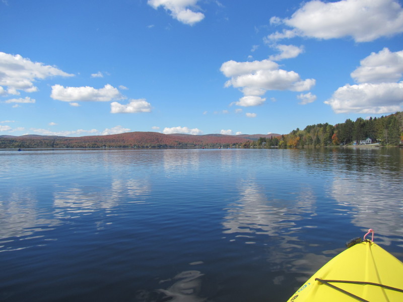
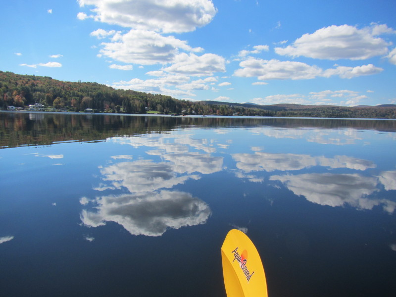
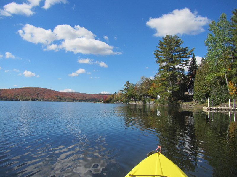
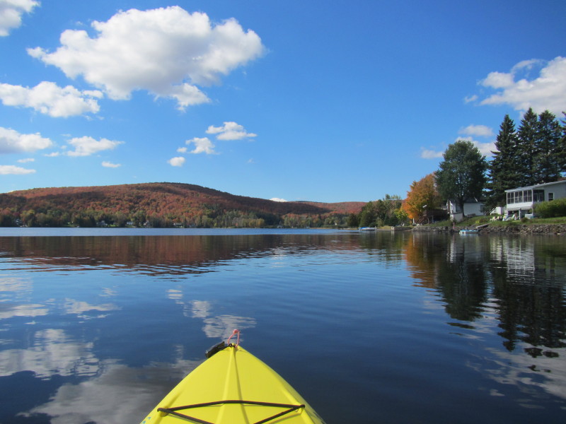
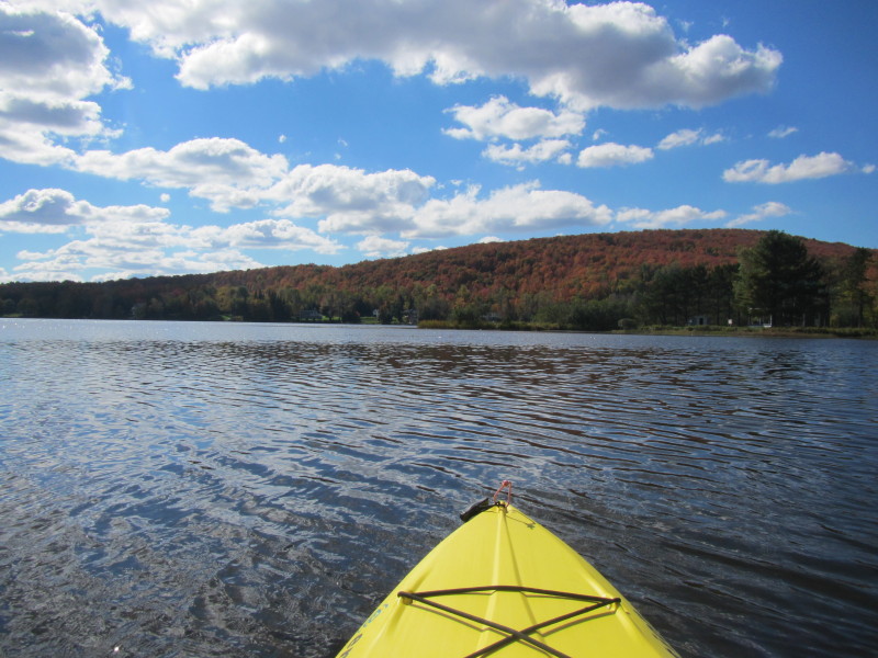
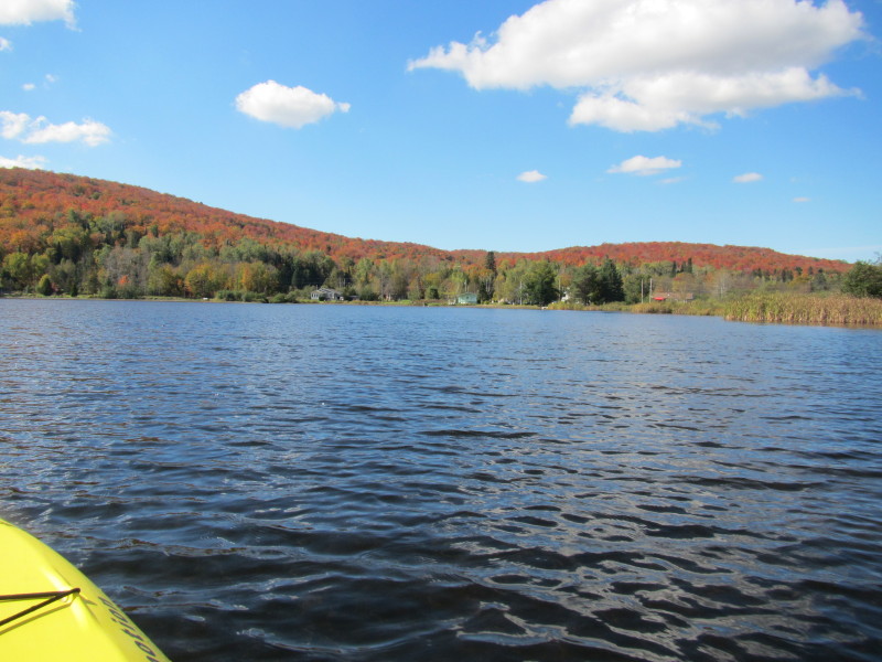
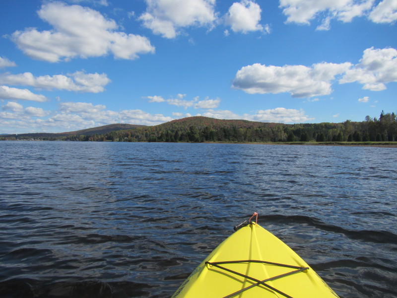
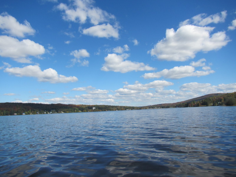
 Lake Wallace seen from the western end.
 I am now at the southwest corner of Lake Wallace.
 Veering left to get back to where I came from.
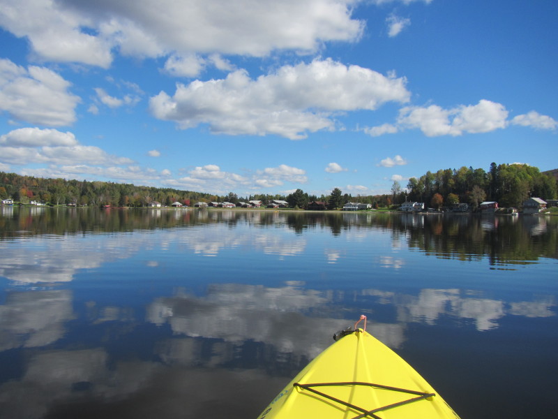
 Looking to my left is the northern shore of Lake Wallace.
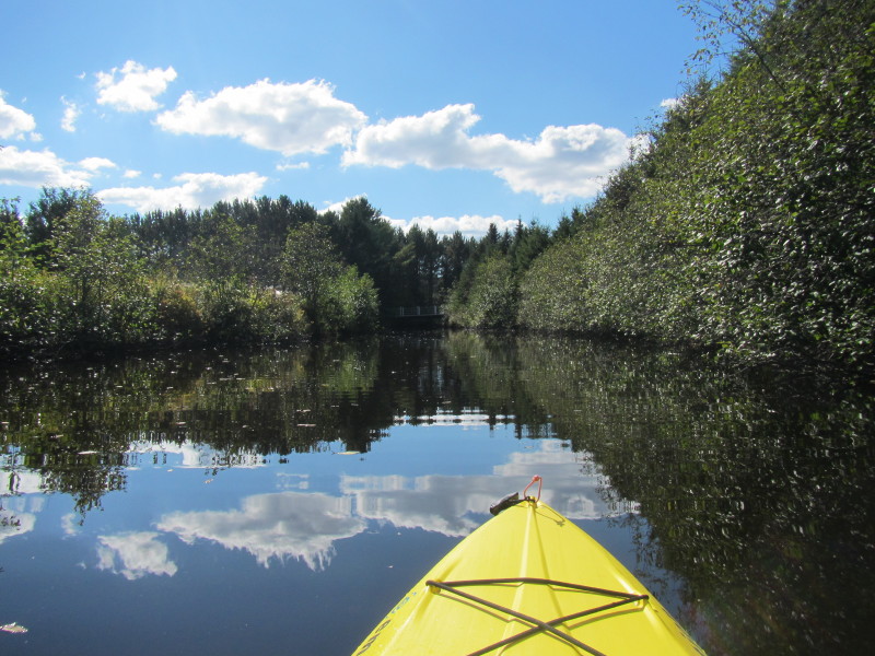
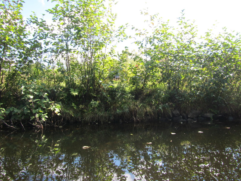
 That wall of rocks is the entrance to the launch inlet.
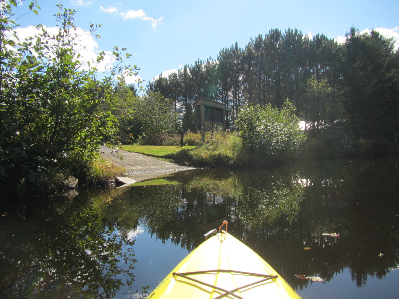
 Just entered the inlet to the ramp.
 End of trip. I was on the water for some minutes under two hours.
|