 Kayaker

|


|
Download printer-friendly
PDF version that fits in one page: |

|
|
Other resources:
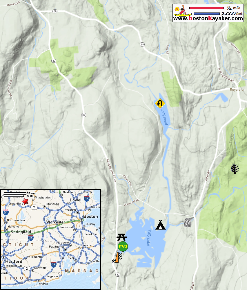
US Army Corps of Engineers: Tully Lake US Army Corps of Engineers: Tully Lake Park Map US Army Corps of Engineers: Tully Lake Park Map (cached copy) Paddling.net: Tully Lake/River Trip Report 1 Paddling.net: Tully Lake/River Trip Report 2 All photos in this website are original and copyrighted. 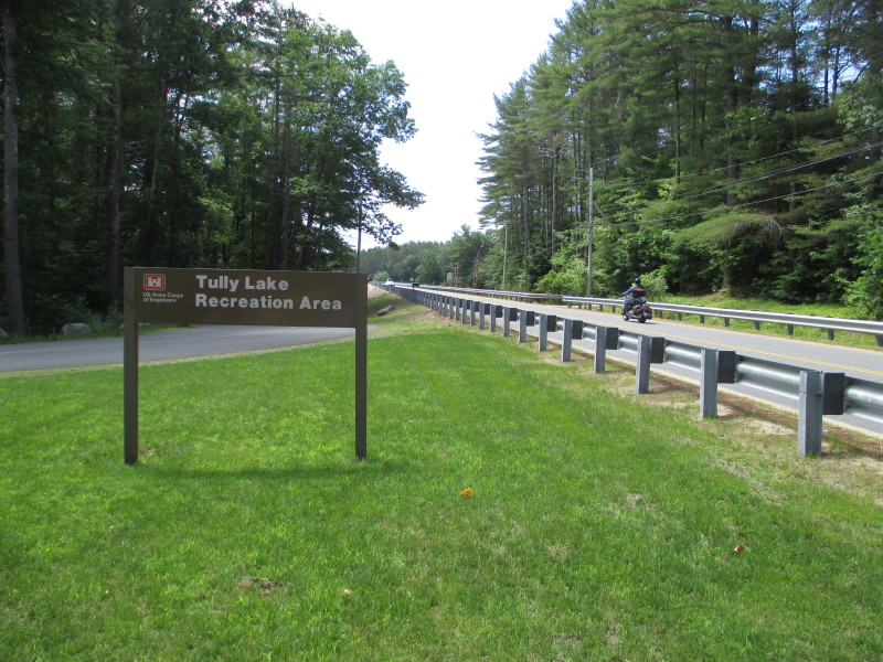 On Tully Lake on Route 32 in Royalston MA.
Trip date is June 2017 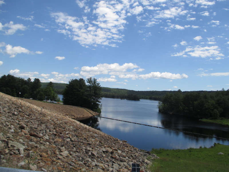 Tully Lake viewed from Route 32.
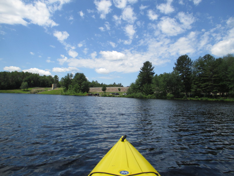
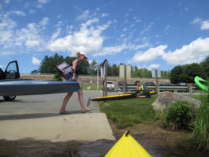
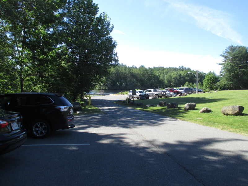 The public access area and ramp to Tully Lake.
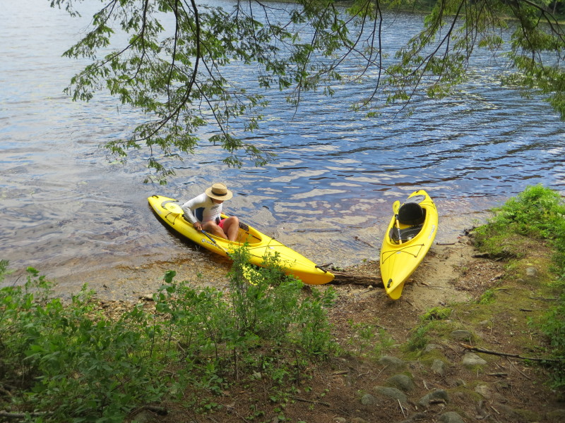
The picnic area is on left of picture. 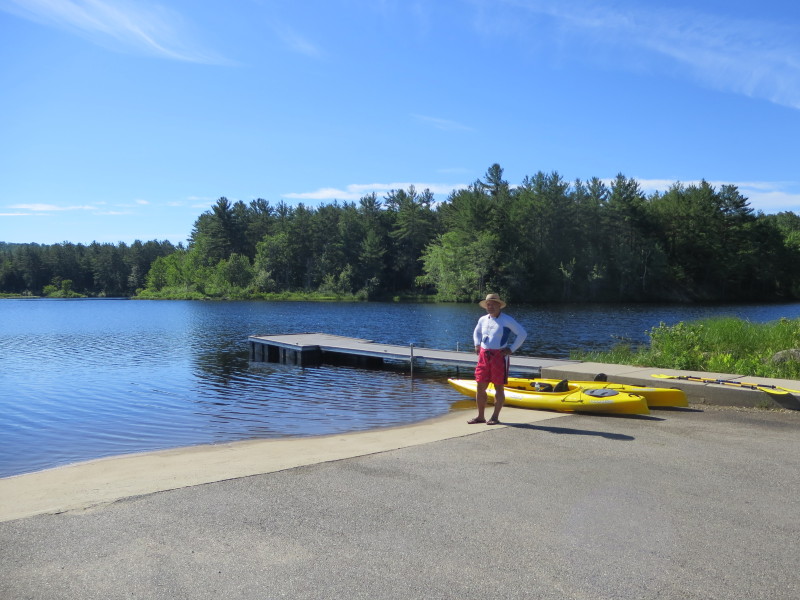 The Boston Kayaker on Tully Lake ramp.
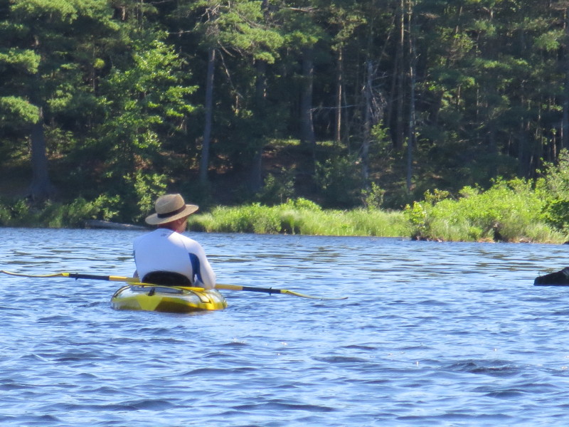
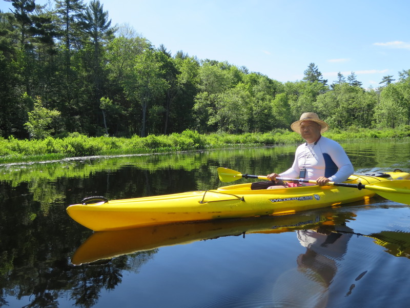
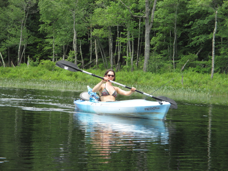
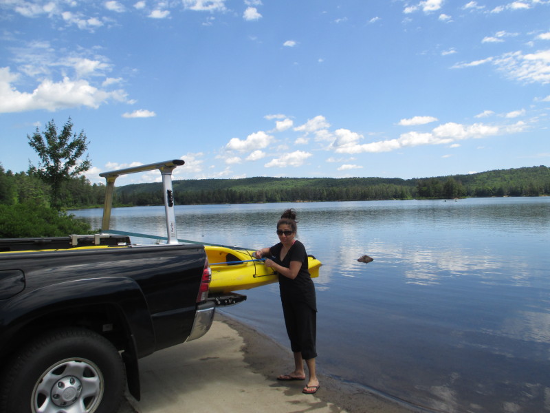
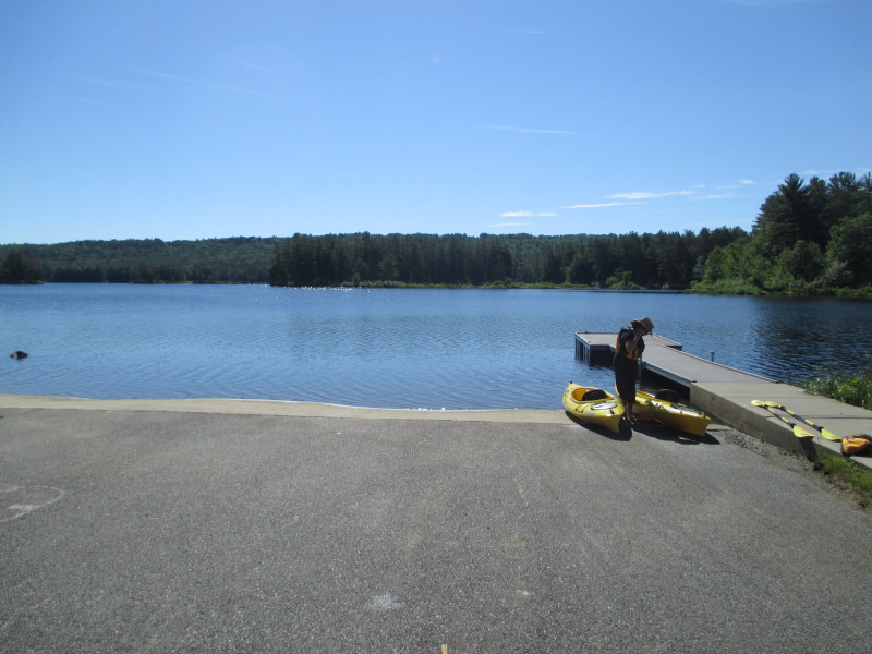 The Boston Kayaker's wife.
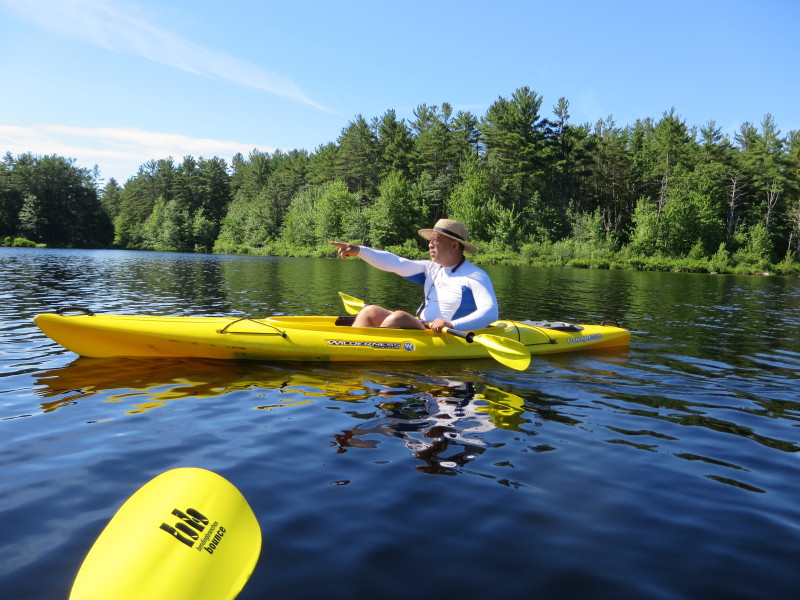
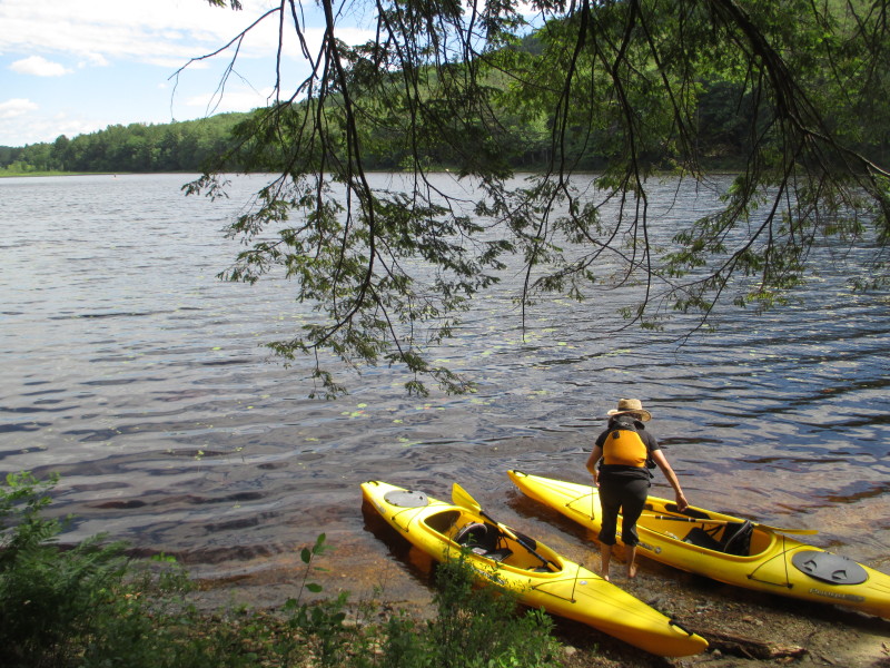
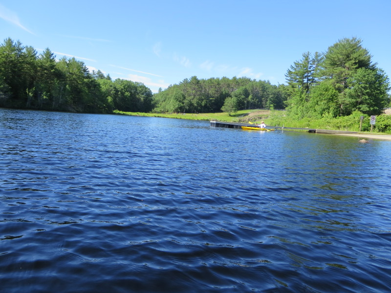 The Boston Kayaker just launched on Tully Lake.
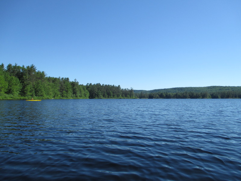
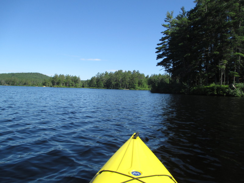
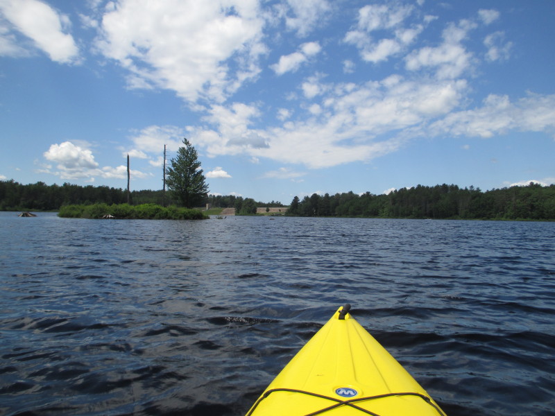
 There is the promised land!
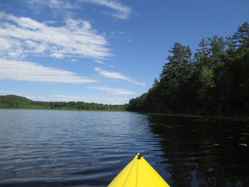
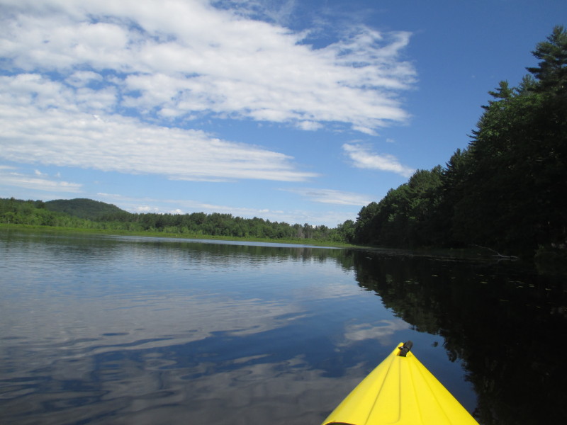
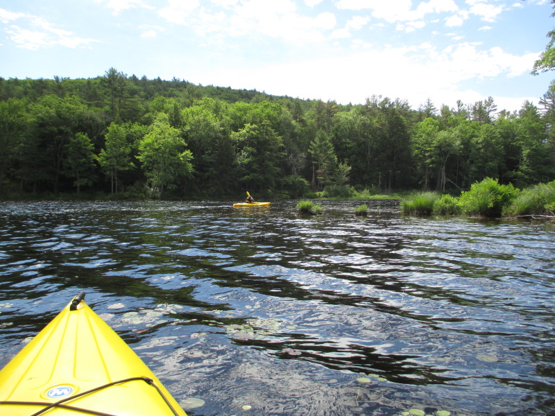
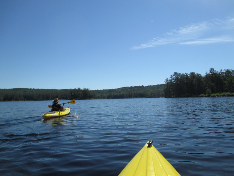 Paddling northeastwards from the ramp. We will try to find the Tully River.
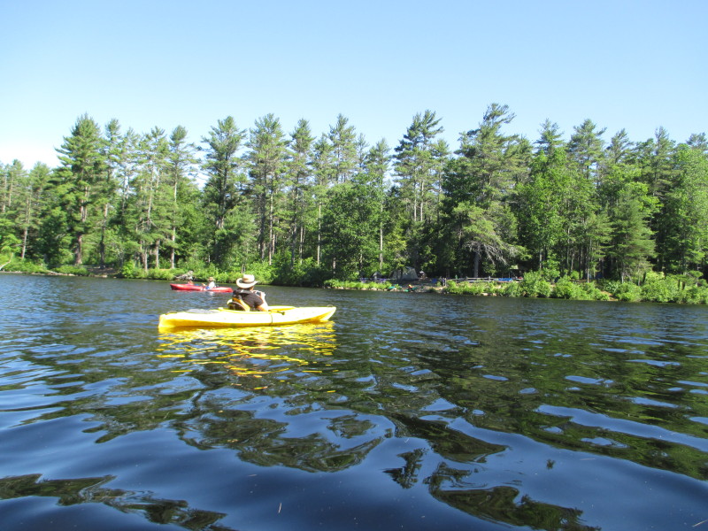
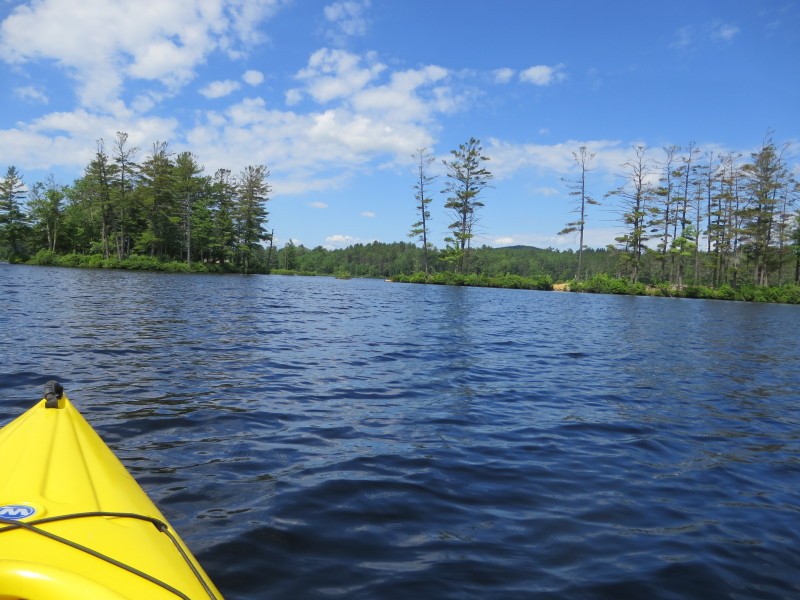
 On the right side of the picture is the southeast corner of Tully Lake.
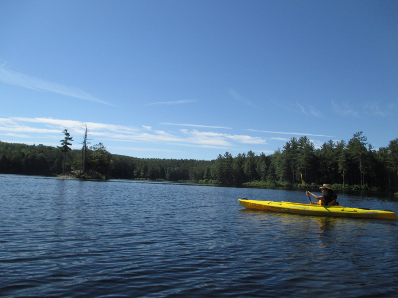
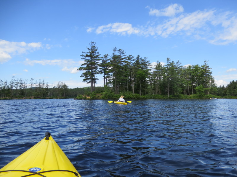
 This lake has many islands that can be landed on.
 The Boston Kayaker's wife paddling between the islands.
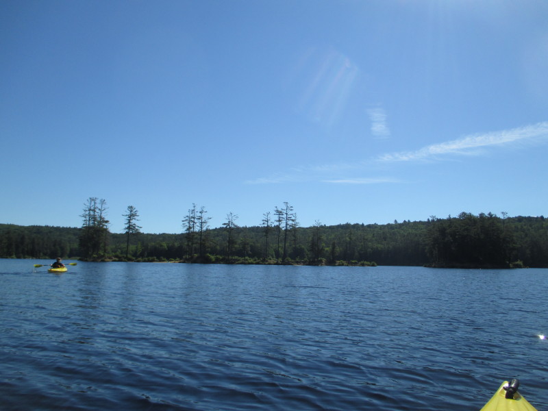
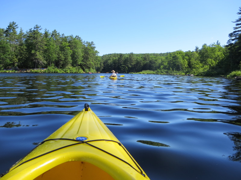
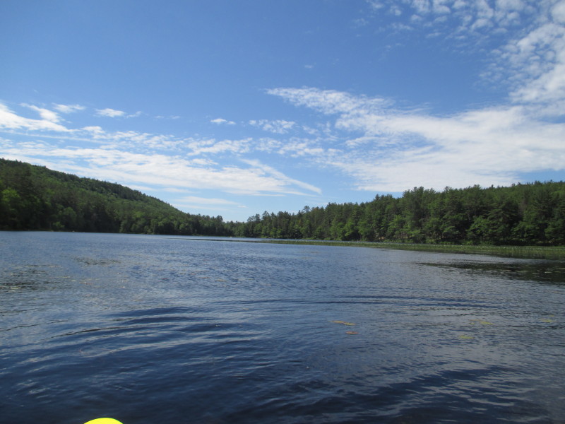
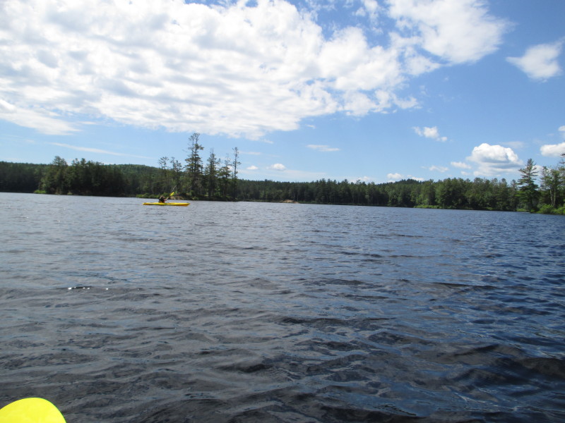
 We are approaching the eastern shore . . .
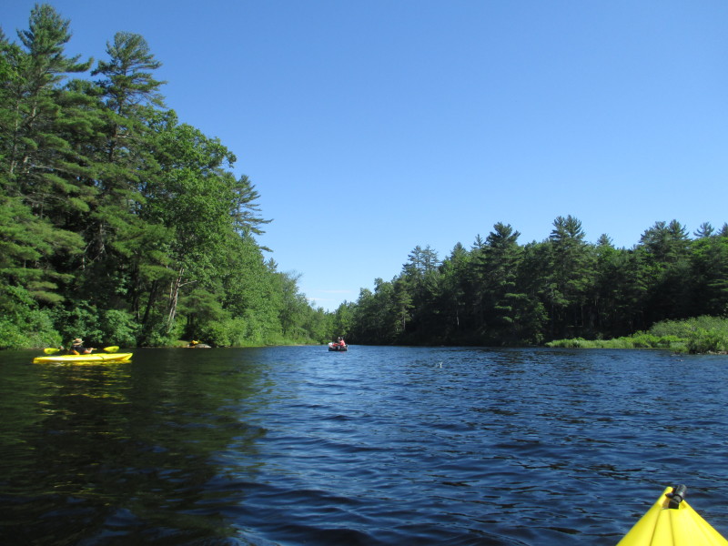
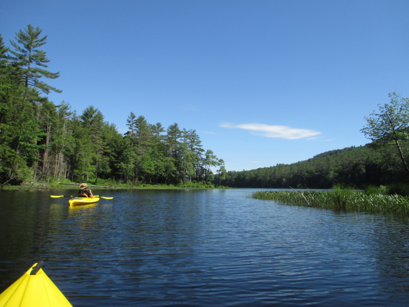
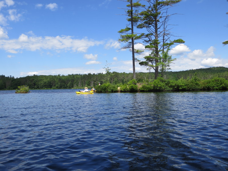
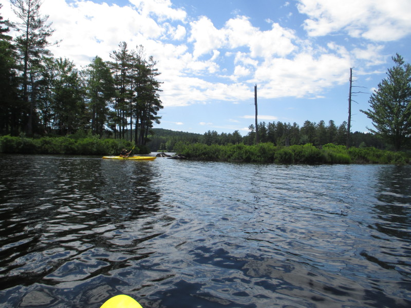
 We will follow the eastern shore on the right to find the Tully River.
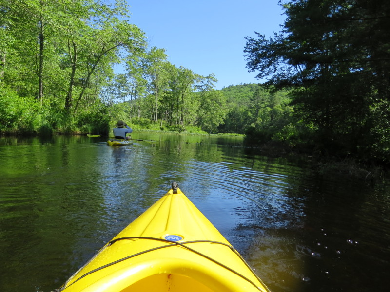
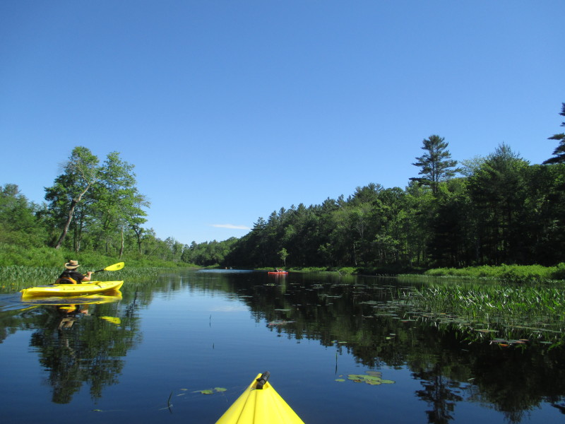
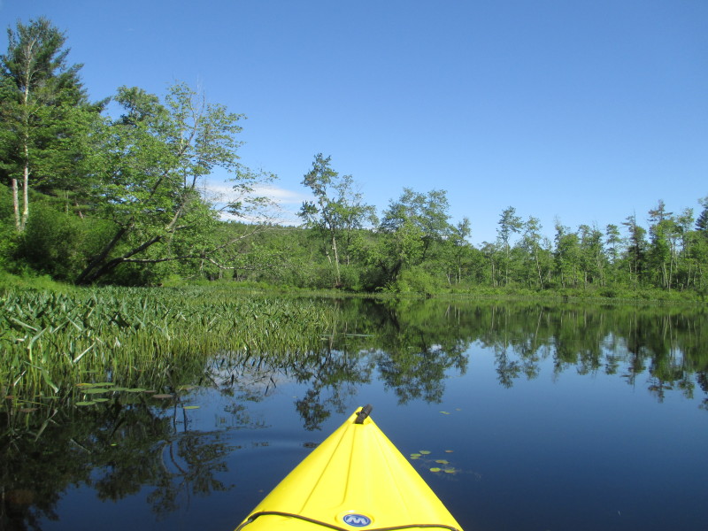
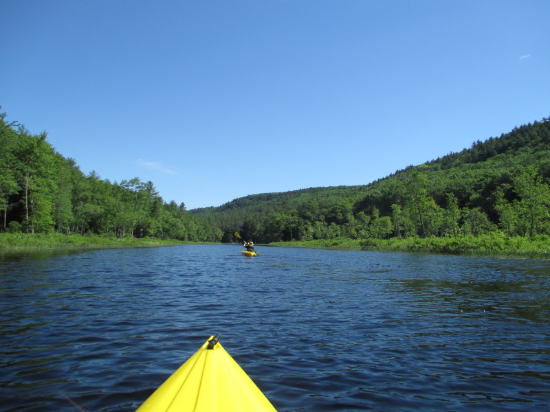
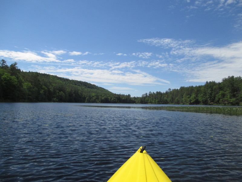
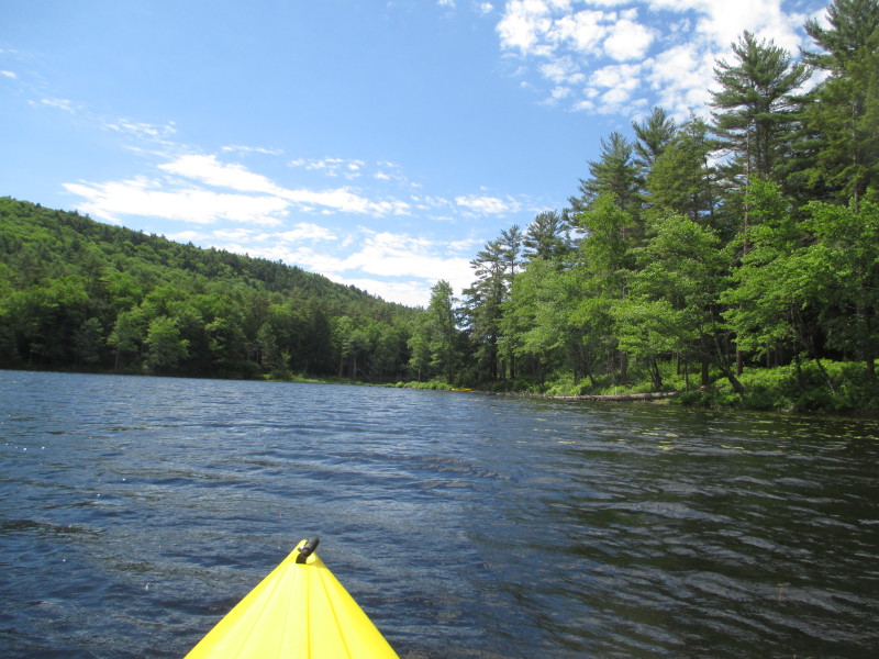
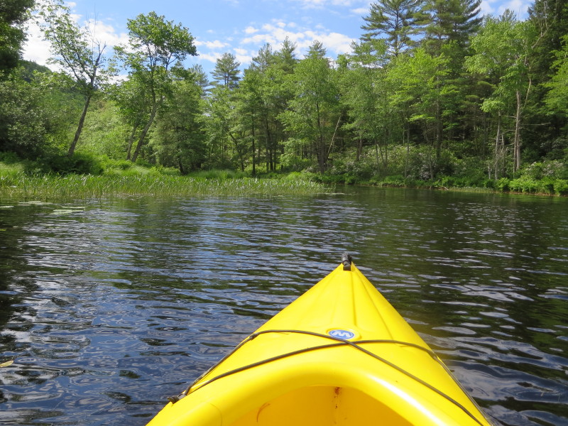
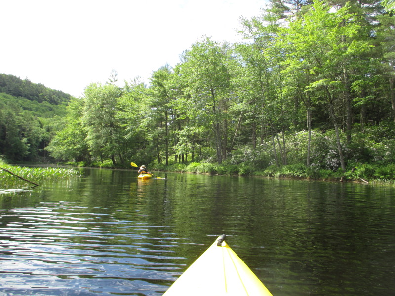
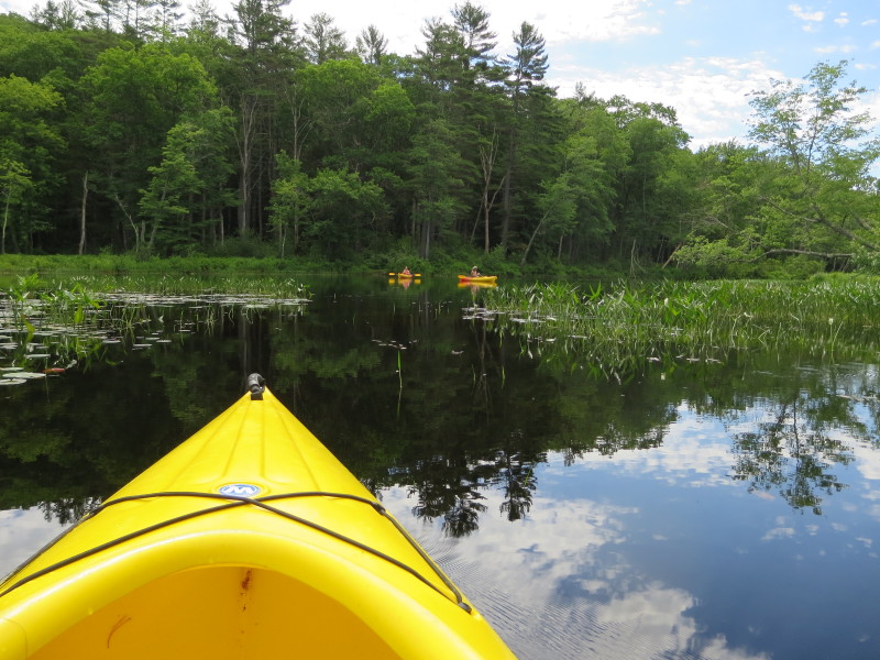
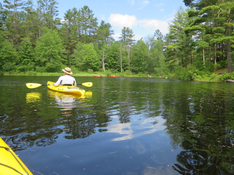
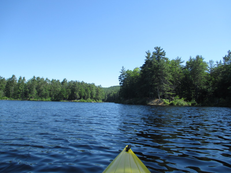 I can see Tully River.
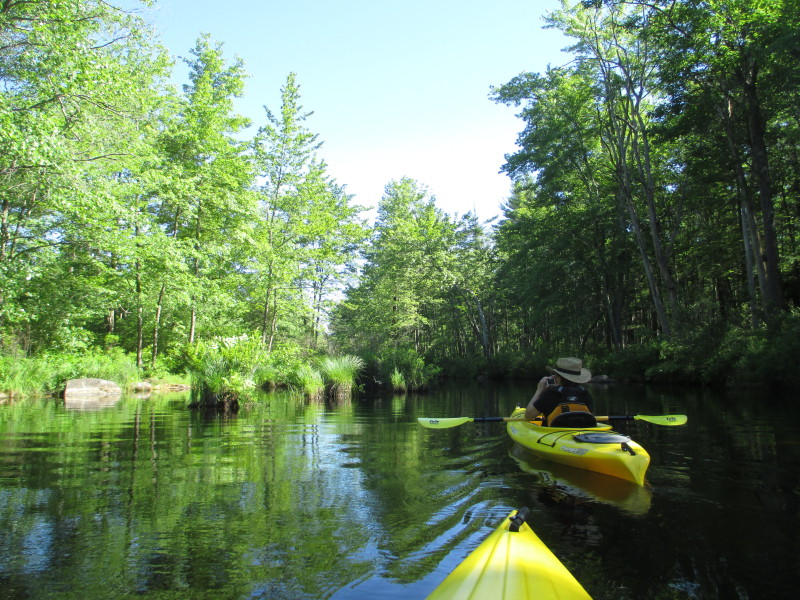
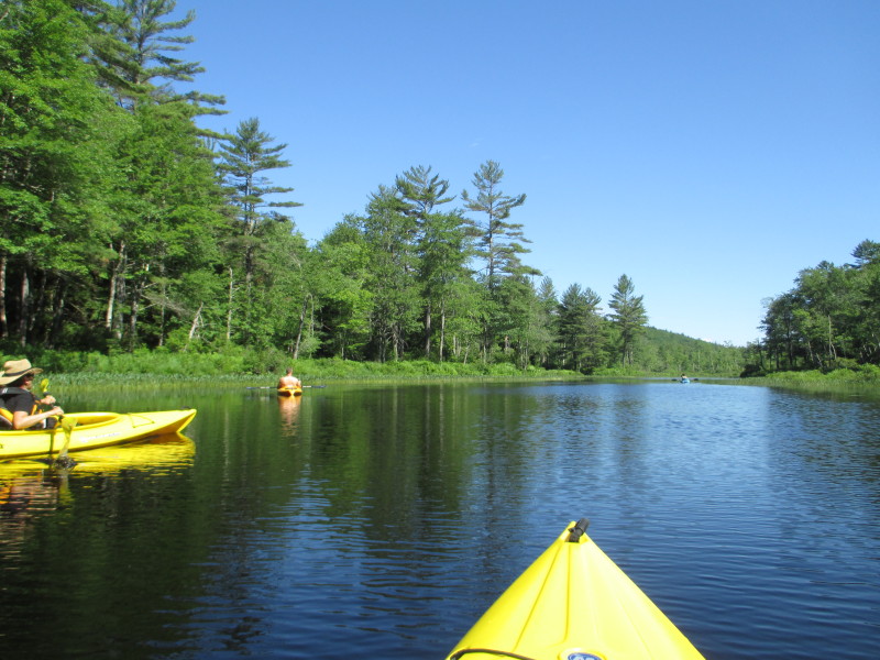
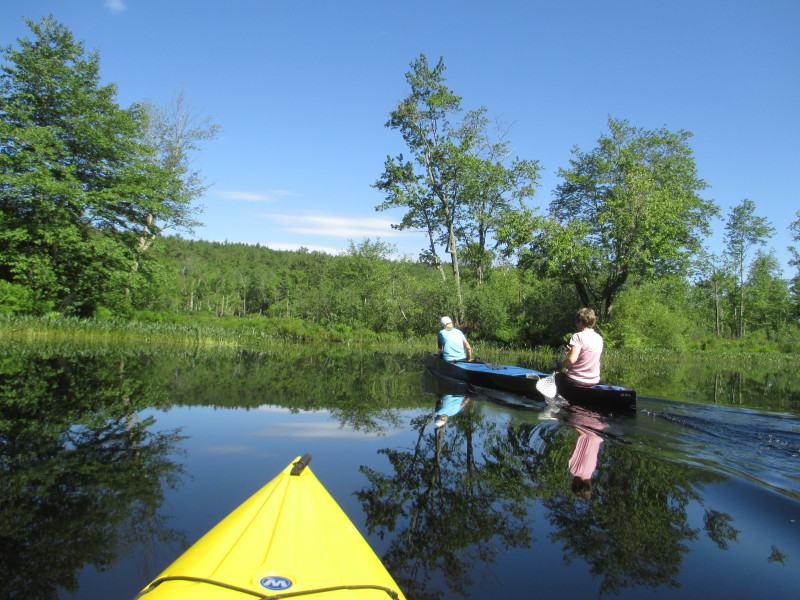
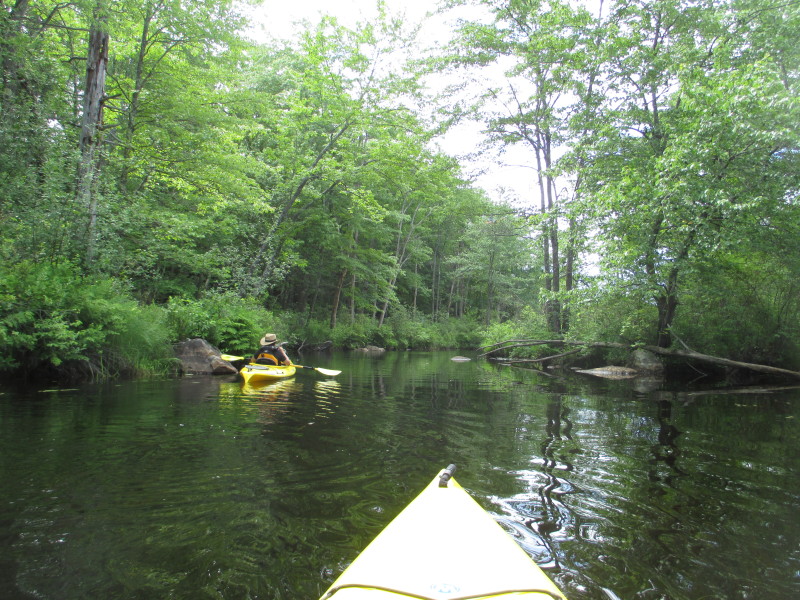
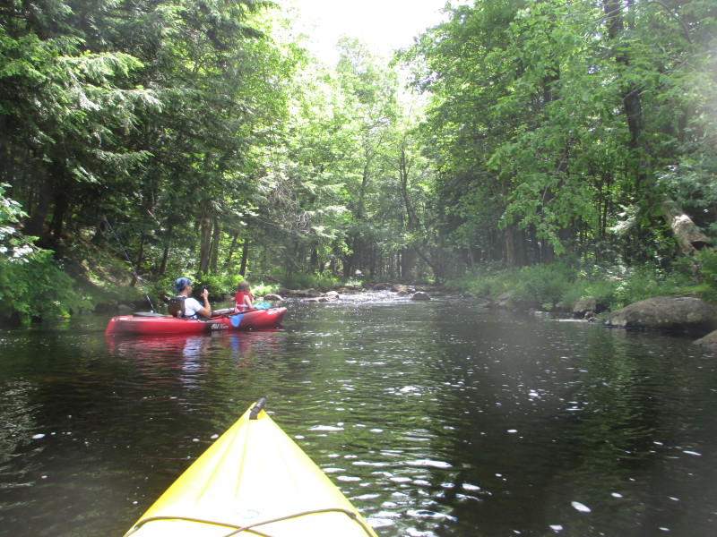
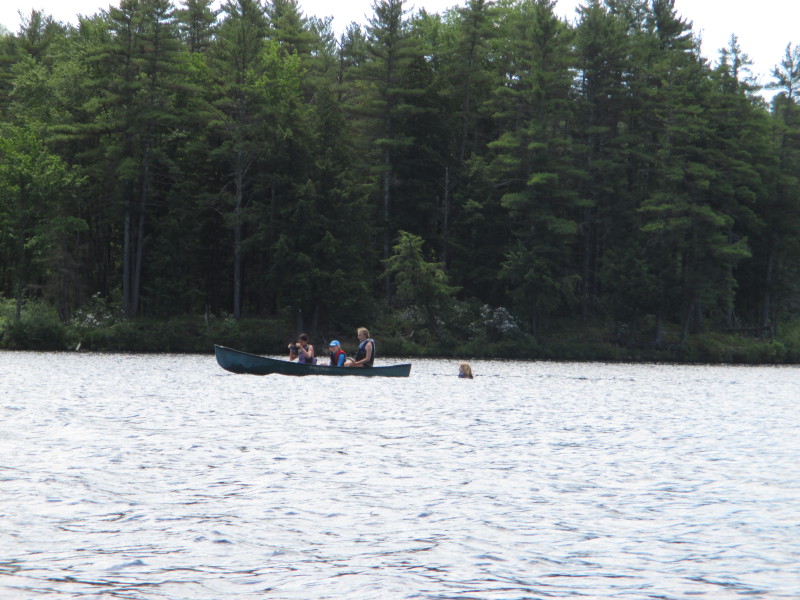
 Happy campers on the western bank of the now narrowed Tully River.
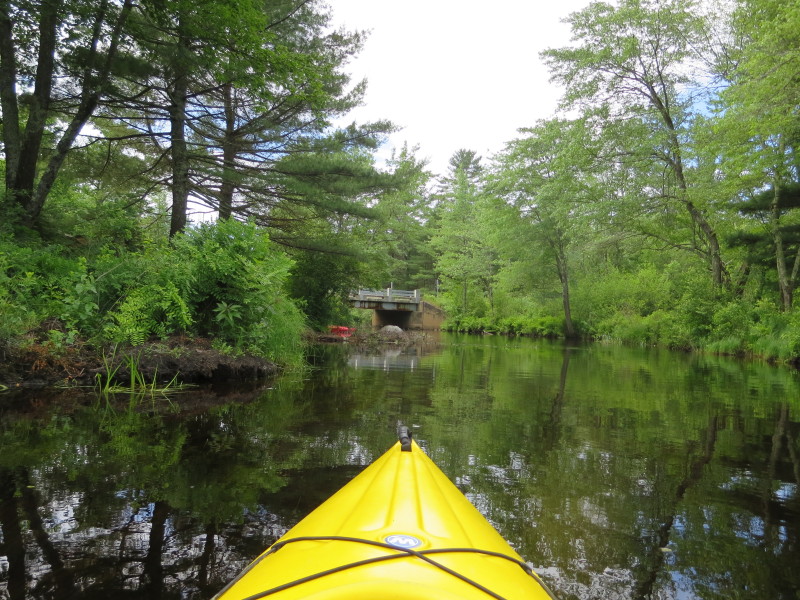
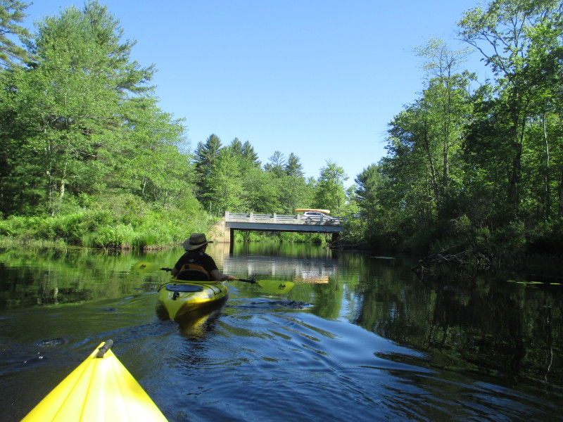 Approaching the Doannes Hill Road bridge.
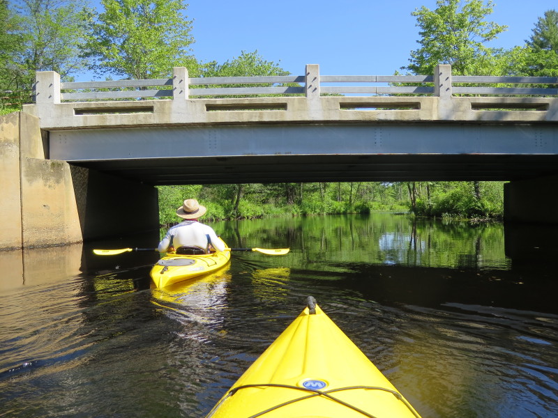
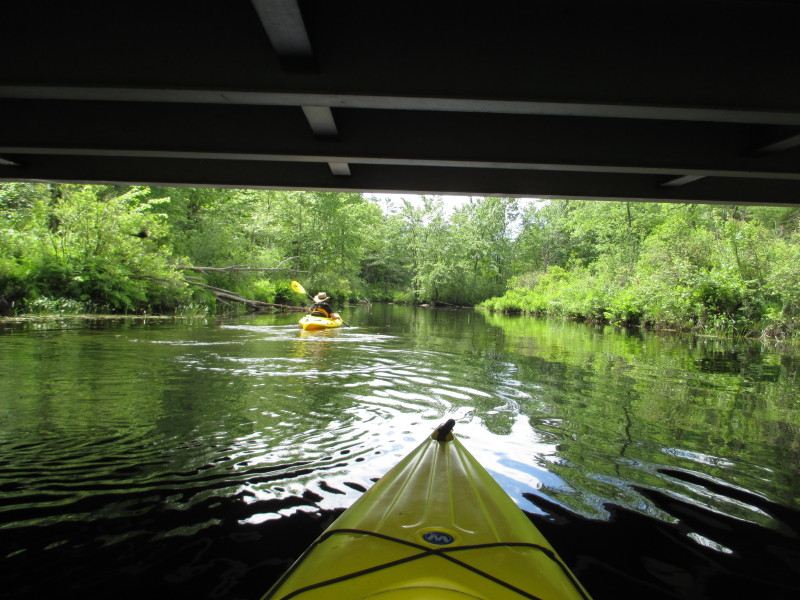
 Paddling under Doannes Hill Road bridge over the Tully River.
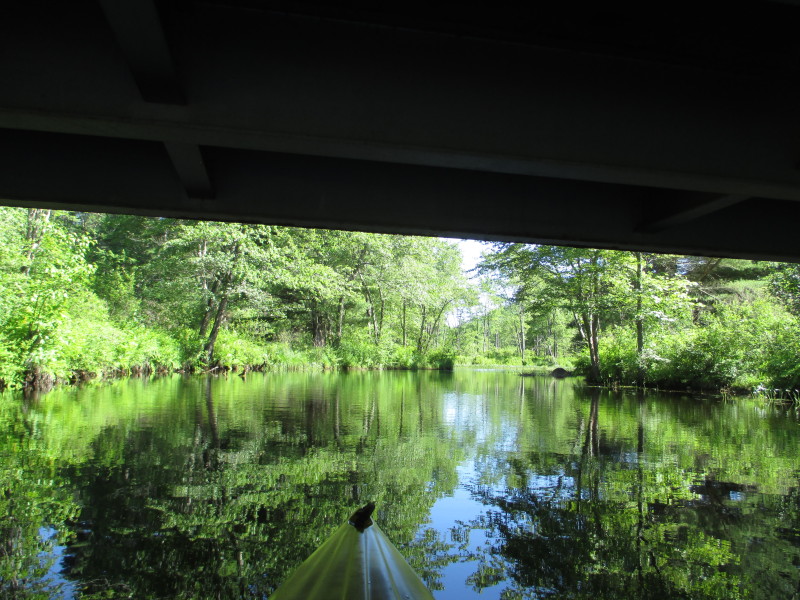
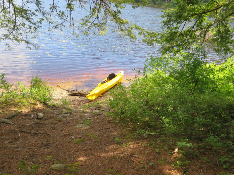
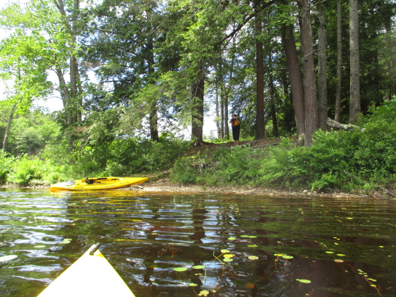
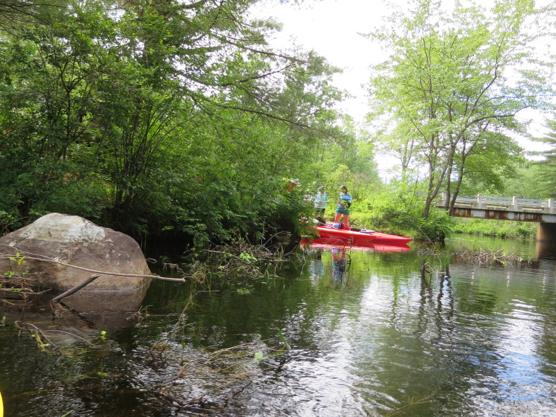
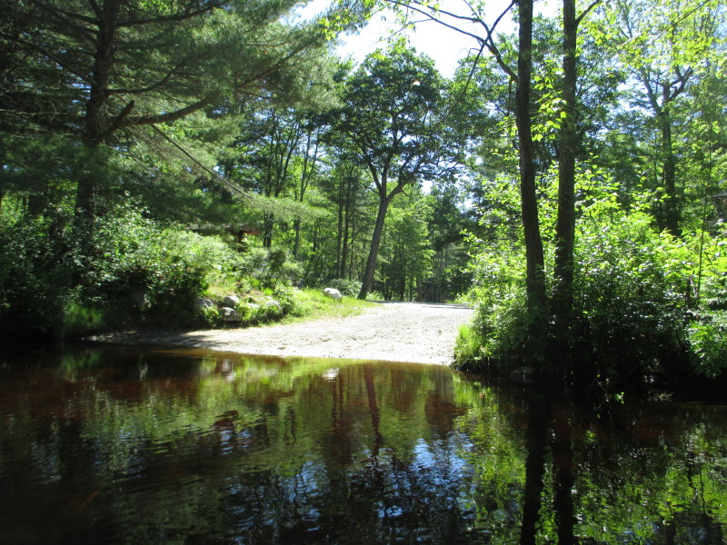 On the right past the bridge is an alternate access point to Tully River and Tully Lake.
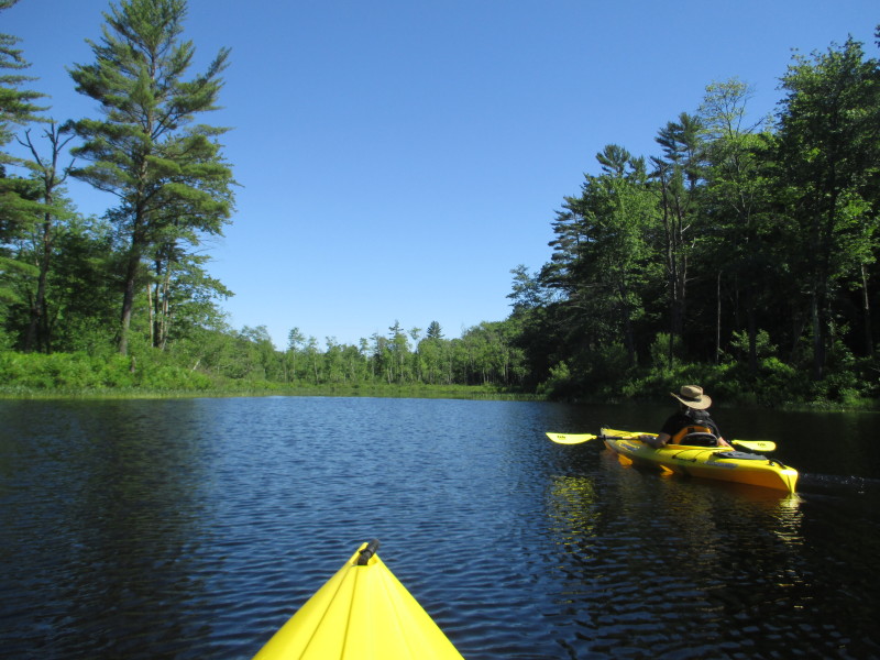 My wife thought this was the end of it . . .
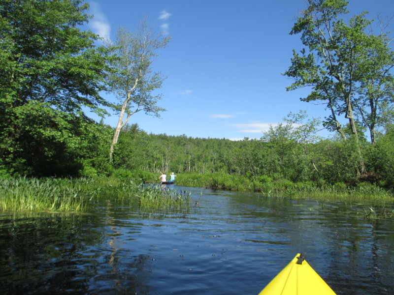
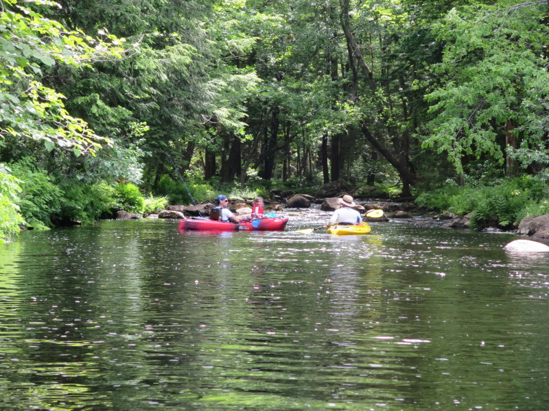
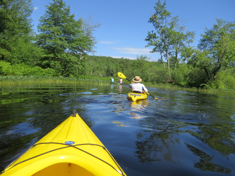 These two paddlers in front of us are turning left and showed us the way.
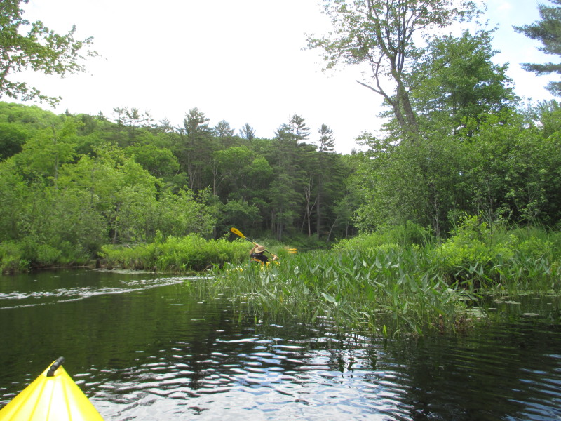
 The passable part of Tully River has narrowed on this spot.
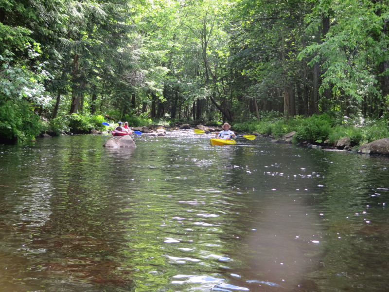
 These 2 fast paddlers overtook me!
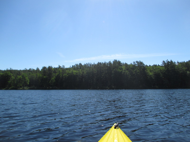
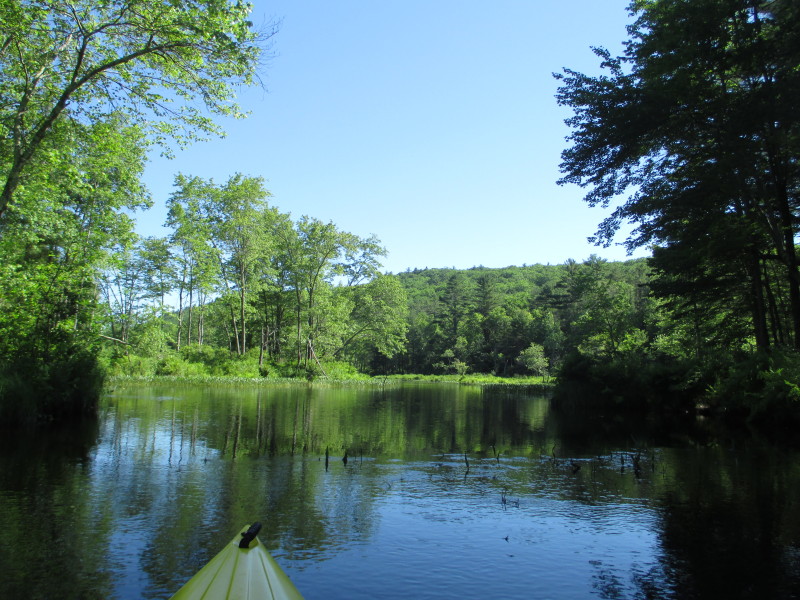
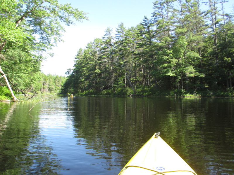
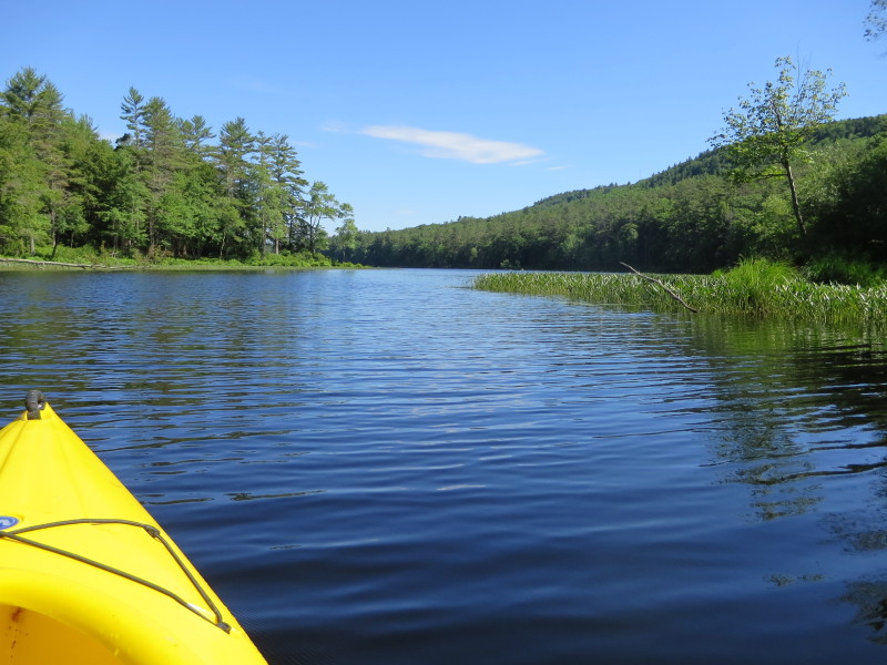
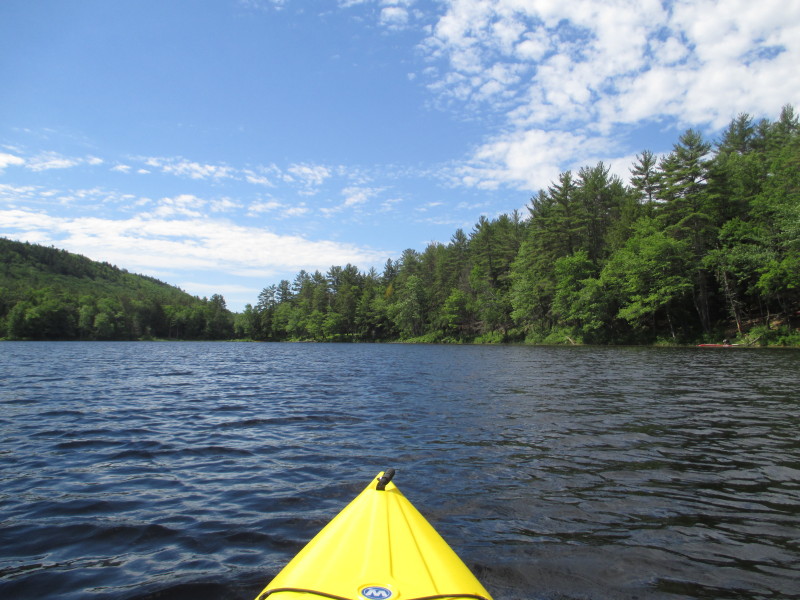
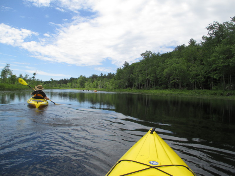
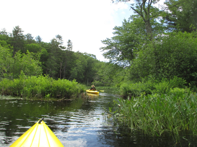
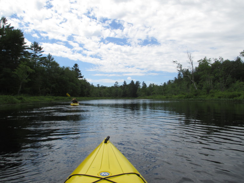
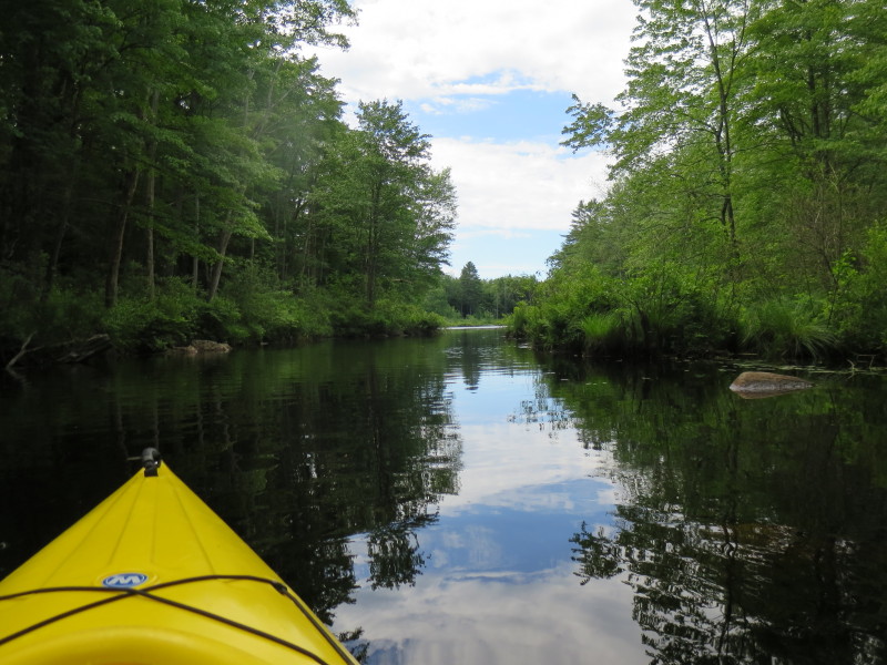
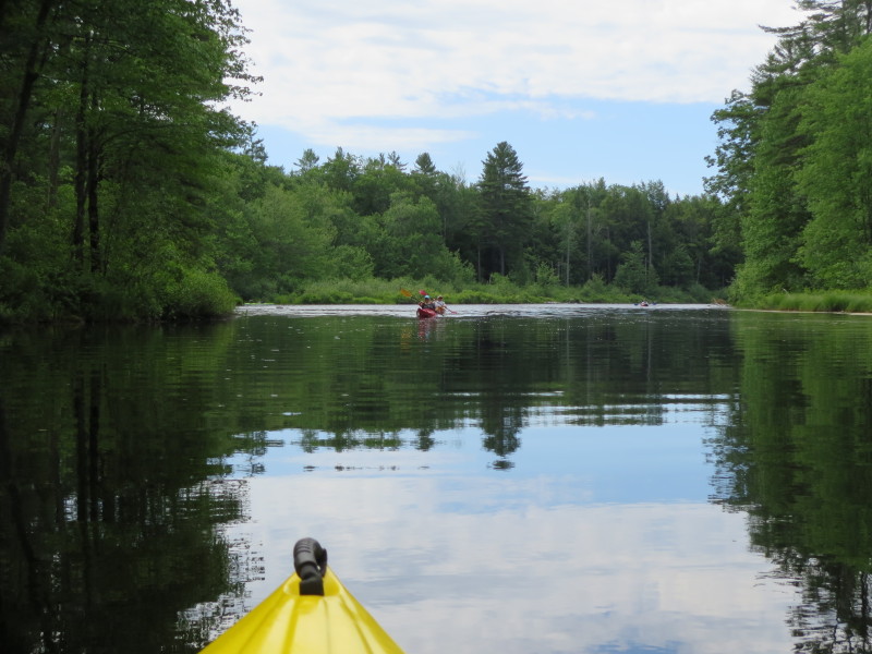
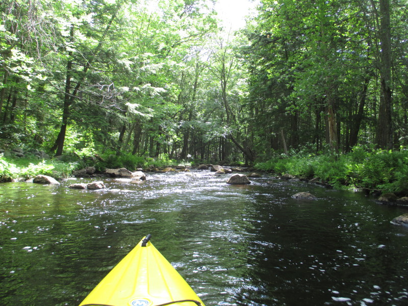
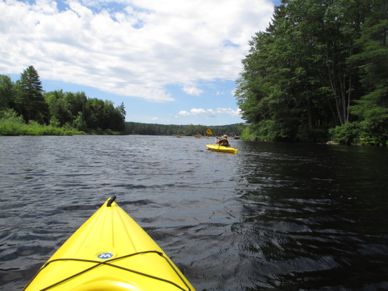
 Tully River widens again.
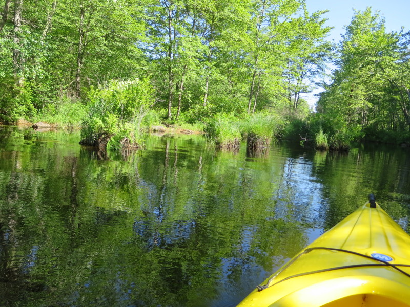
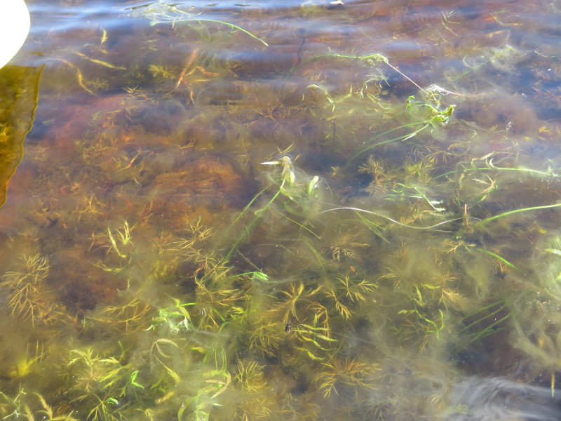
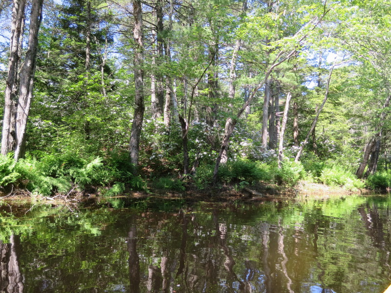 Flowers on the banks of Tully River.
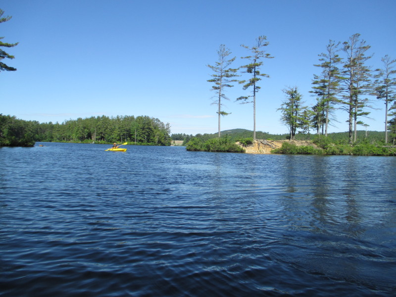
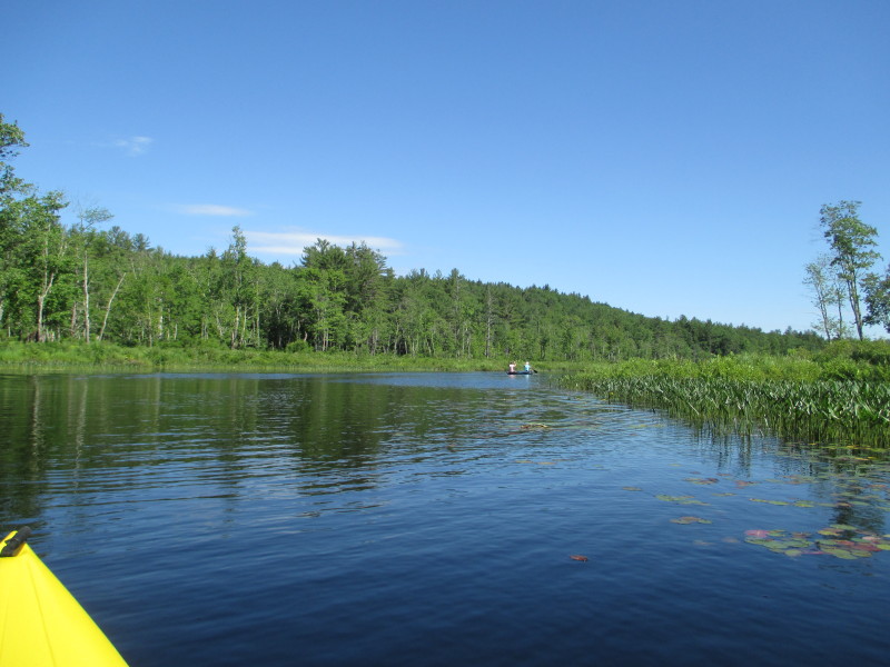
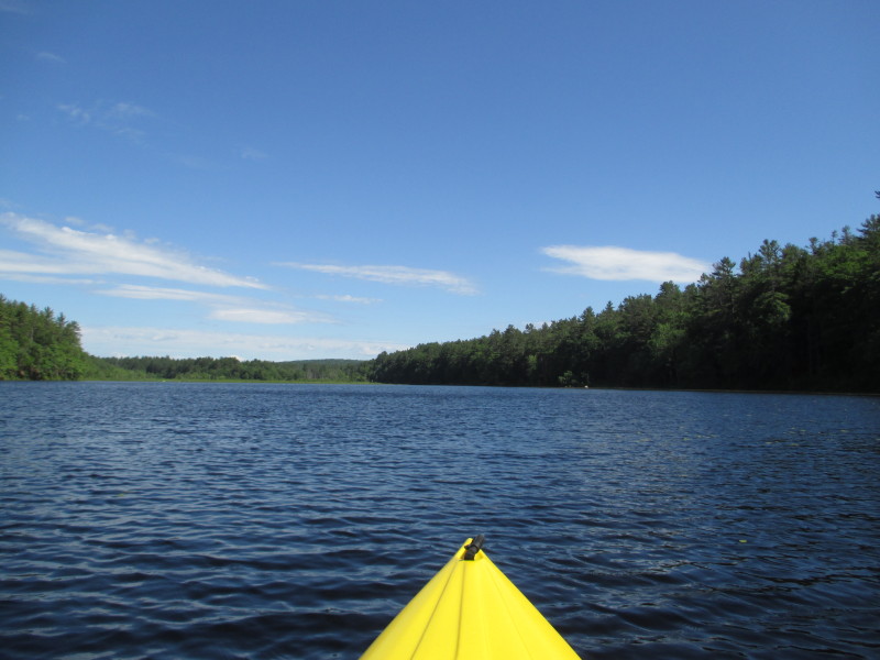
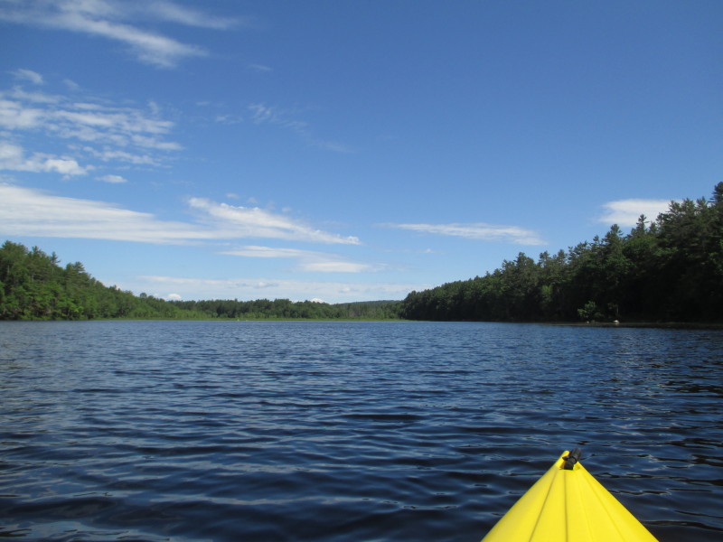
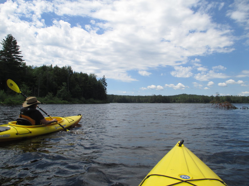
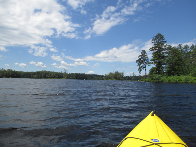
 Approaching Long Pond.
 We are now entering the LongPond at the north end of the kayak route.
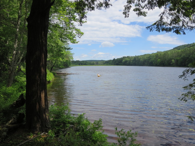
 I told my wife to stay on the side for a rest while I circle Long Pond.
 Will circle Long Pond counter-clockwise.
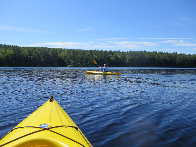
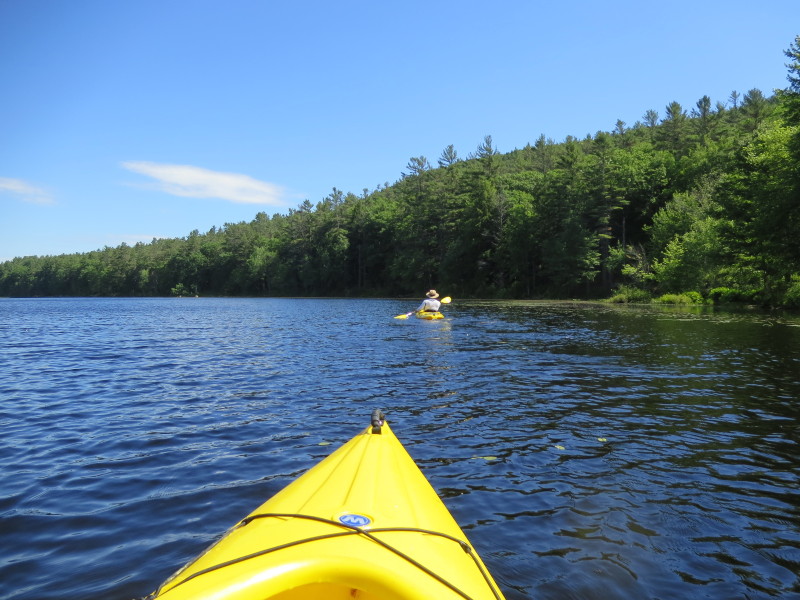
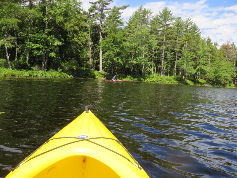
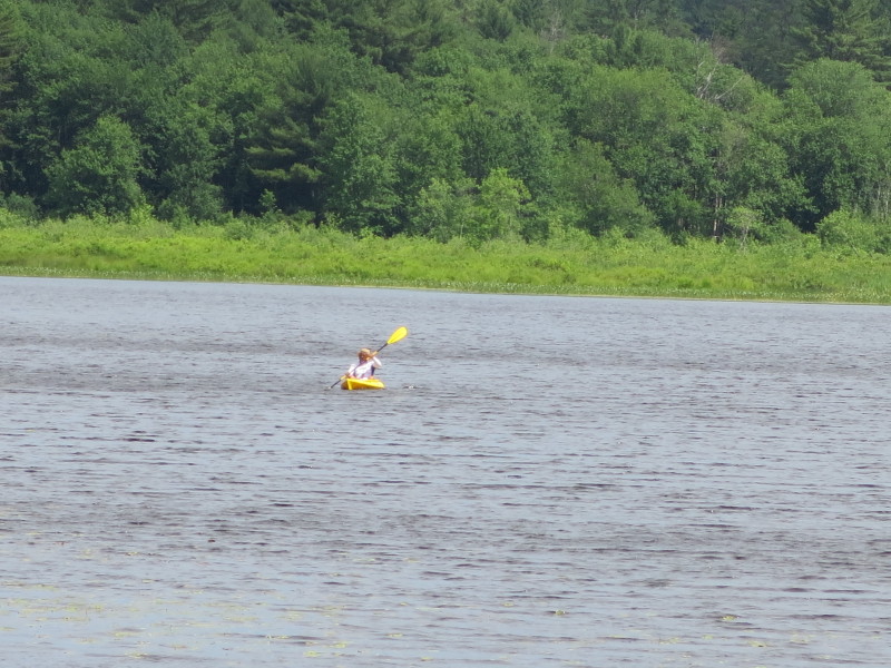
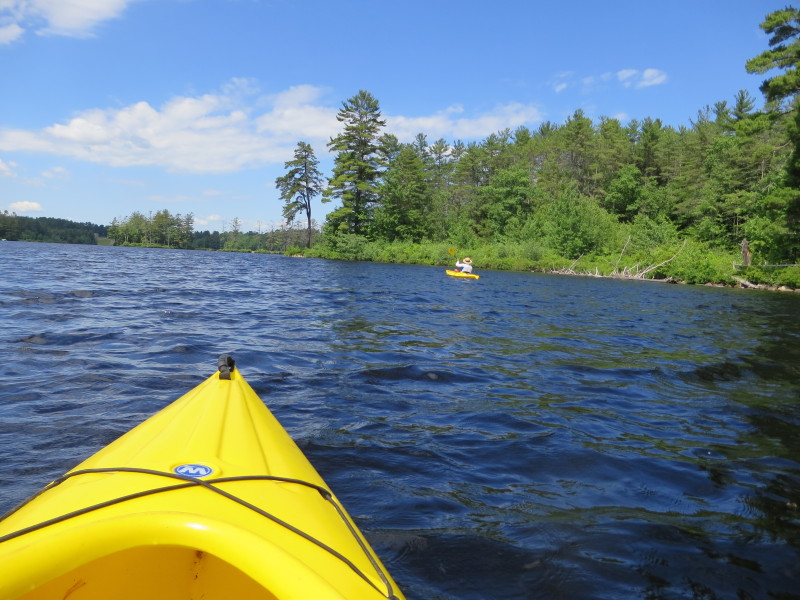
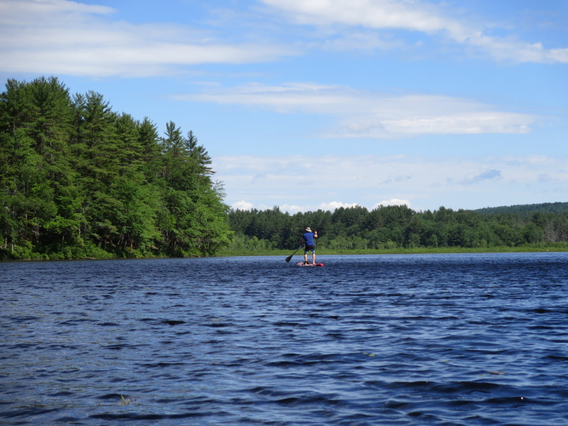 A stand-up paddler on Long Pond.
 My wife's photos from her beach break at the mouth of Long Pond.
 Approaching the north end of Long Pond.
 These two kayakers are now chasing the small inlet farther north.
 Looking to my left, Long Pond viewed from the north end.
 Fully turned-around and now facing southwards.
 Back on the water.
 Exiting Long Pond and entering Tully River.
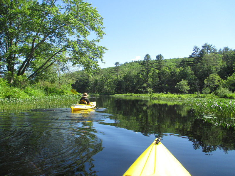
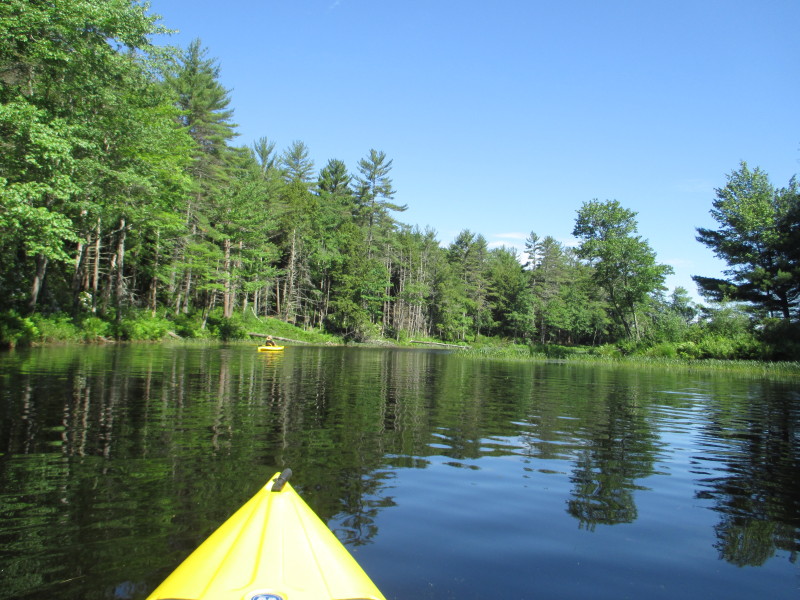
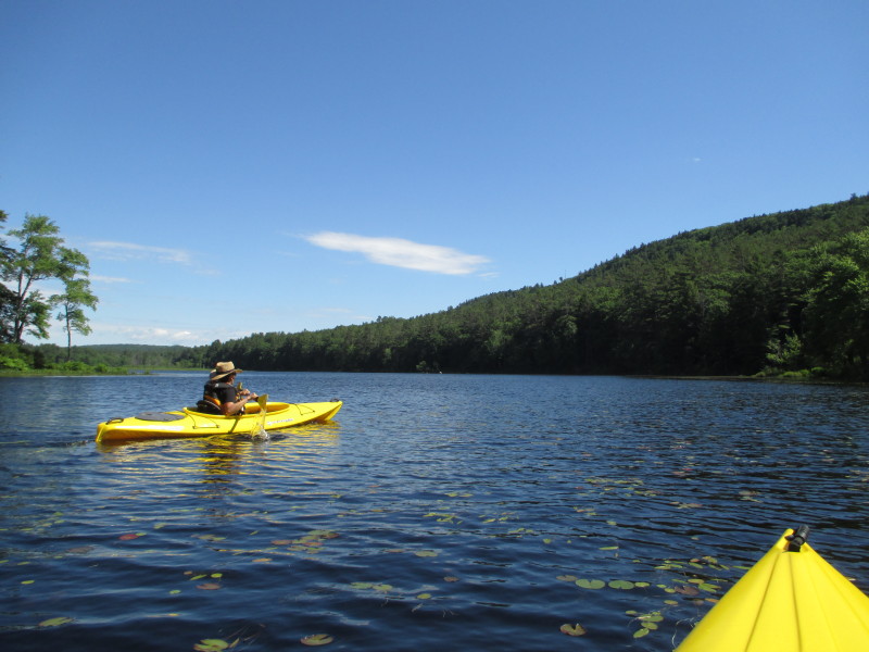
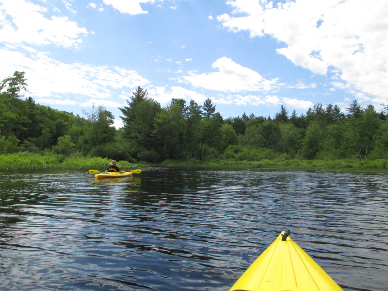
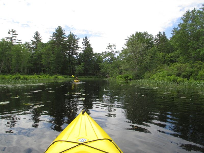
 Paddling south on Tully River.
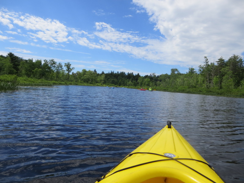
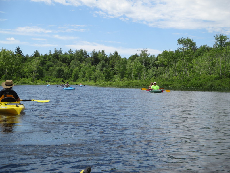
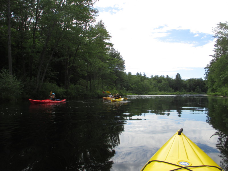
 A fleet of kayakers in front.
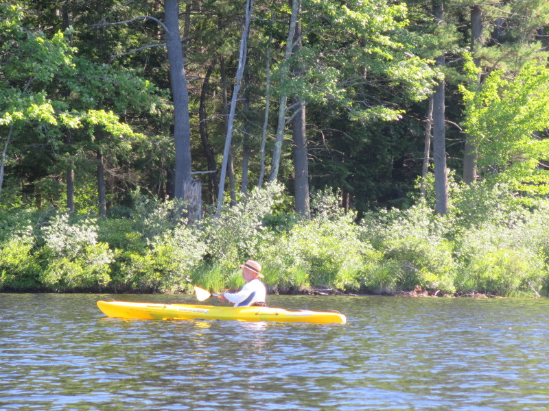
 A lady kayaker on Tully River.
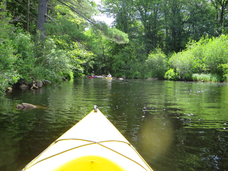
 Another group of kayakers.
 At the narrow channel.
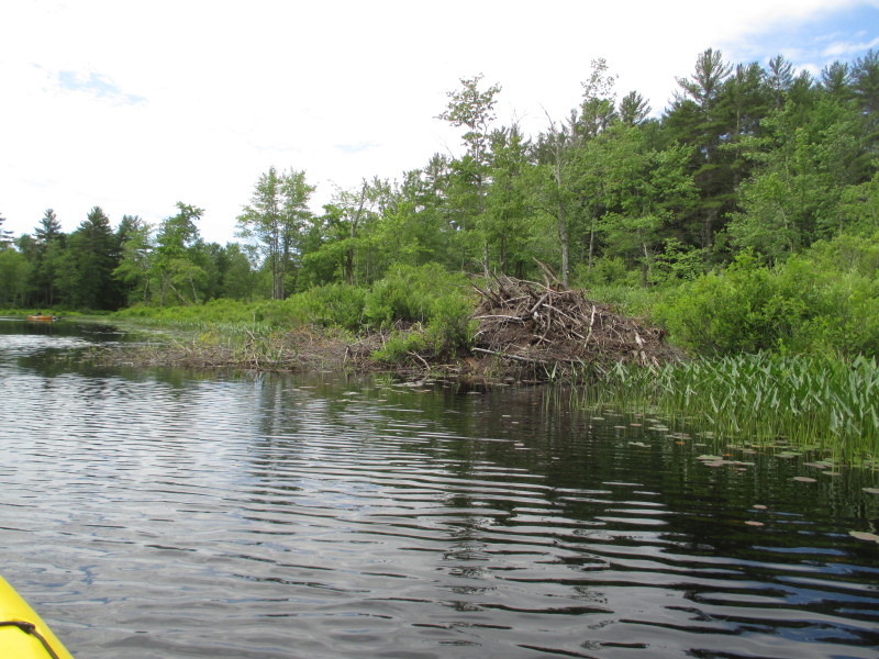 A beaver lodge on Tully River.
 Approaching the Doannes Hill Road bridge.
 Just south of the bridge, we turned left (east) to check out the bottom of Doannes Falls.
 The bottom of Doannes Falls.
 Just turned around from the falls.
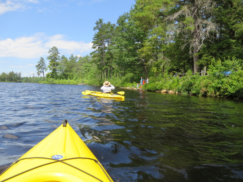
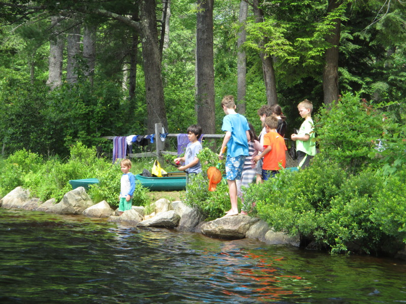 Kids fishing from the campgrounds.
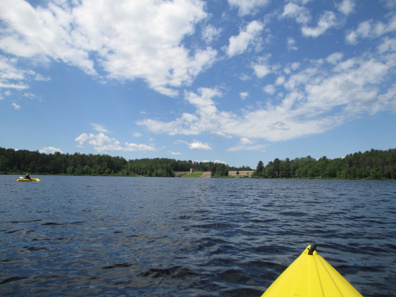
 I can see the dam walls.
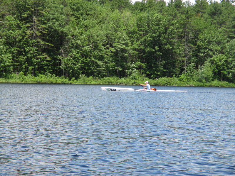 A rower and her long boat.
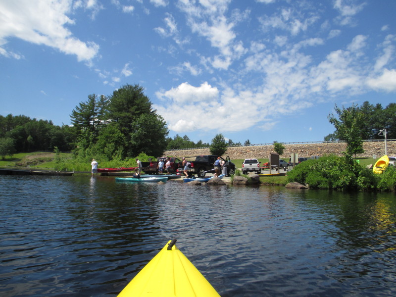
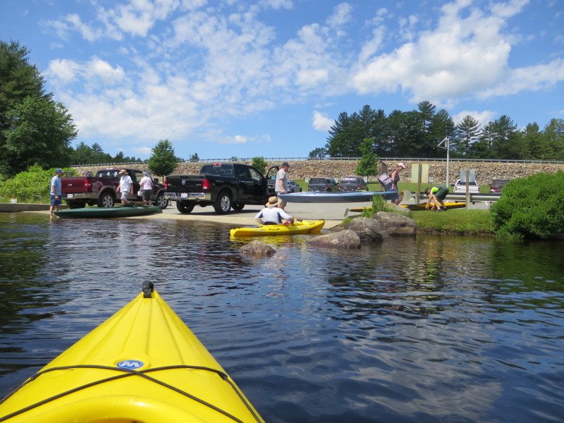
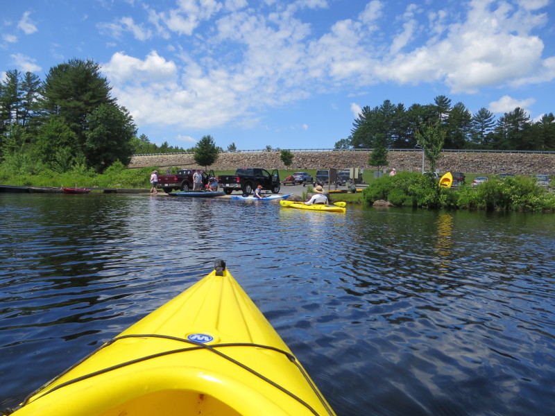 The ramp is a bit crowded now.
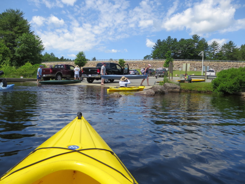
 Landed. Paddle time was 2 hours and 10 minutes.
|