|
Download printer-friendly
PDF version that fits in one page: |
Other resources:
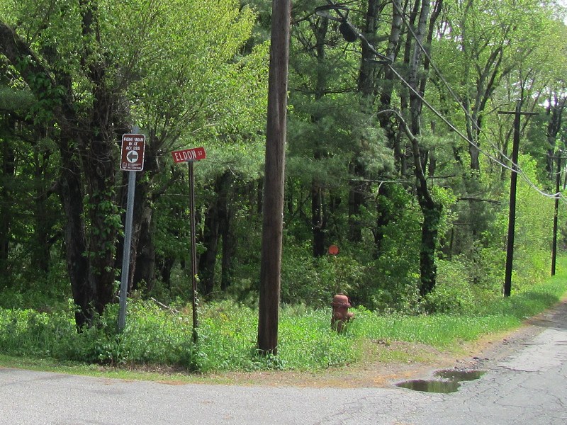
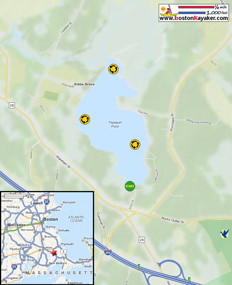
Mass. Govt: Tispaquin Pond Topography Map in Middleborough MA Mass. Govt: Tispaquin Pond Topography Map in Middleborough MA (cached copy) All photos in this website are original and copyrighted. At the start of Eldon Street off Rocky Gutter Street in Middleboro MA. Trip date is May 2014. On Tispaquin Pond. Just launched on Tispaquin Pond. Paddling to my right. I will circle Tispaquin Pond counter-clockwise. Now paddling northwards and will keep the shore to my right. Fishing from a boat. To the right of that birdhouse is the small northeasterly cove. This cove looks like a dead end. Continuing my paddle northwards. In front of me is the northern end of Tispaquin Pond. Continuing my counter-clockwise direction. I am looking for any interesting inlet or outlet to explore. This spot looks interesting . . . I paddled into it but did not get very far. It turns out this is an outlet stream blocked by a small beaver dam where I can hear water flowing out. Turned around and now looking south on Tispaquin Pond from the north end. Two men fishing on Tispaquin Pond from a boat. Three young men on a canoe on Tispaquin Pond. YMCA's Camp Yomechas on the shore of Tispaquin Pond. Landed. |