 Kayaker

|


|
Download printer-friendly
PDF version that fits in one page: |

|
|
Other resources:
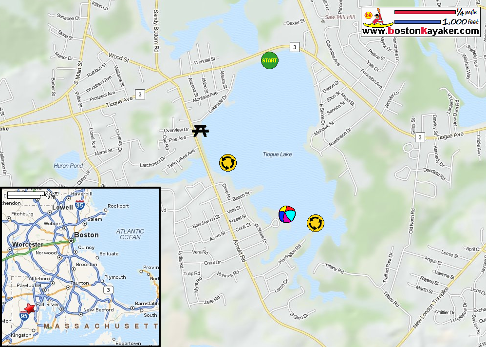
Explore RI's Greenways and Blueways: Tiogue Lake - Arnold Road in Coventry RI All photos in this website are original and copyrighted. 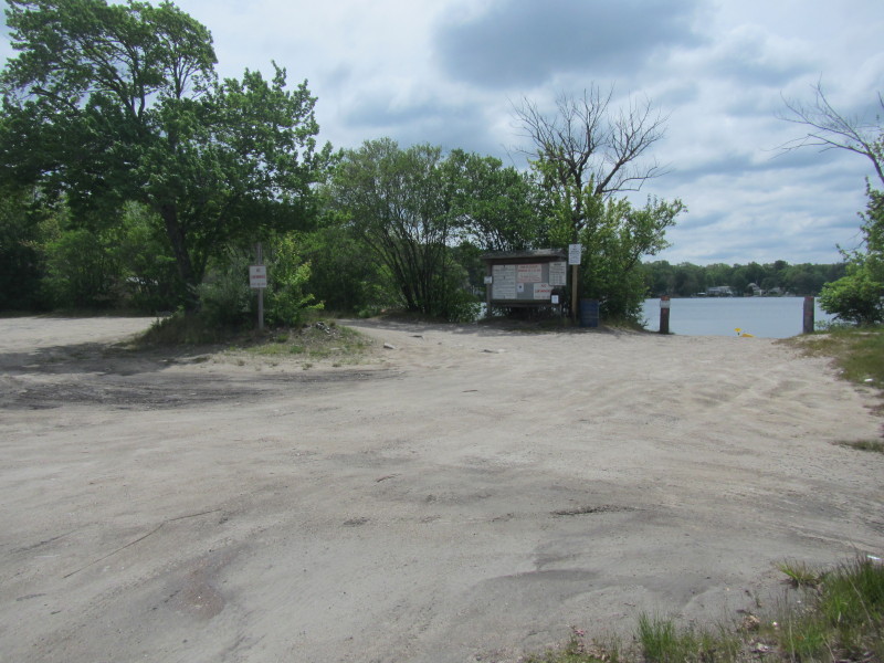 The boat ramp and launch area to Tiogue Lake on Tiogue Avenue / Route 3 in Coventry RI.
Trip date is June 2015. 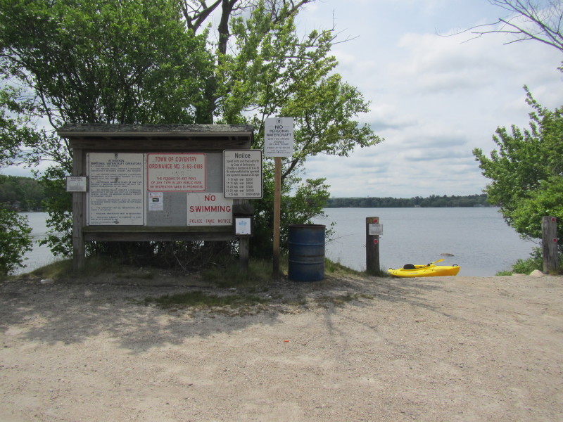 I only belatedly found out about this access during the paddling trip.
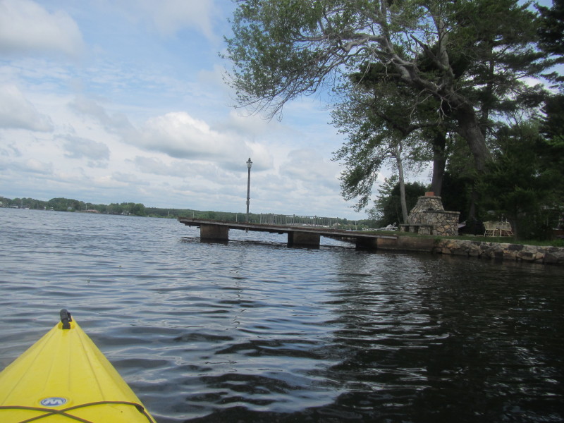
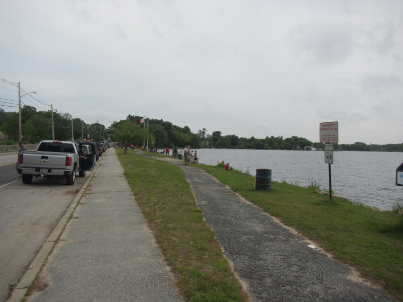 At the Vietnam Veterans Memorial Park on Arnold Road in Coventry RI.
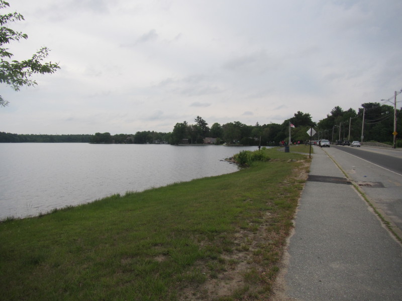 Tiogue Lake viewed from Arnold Road just north of the park.
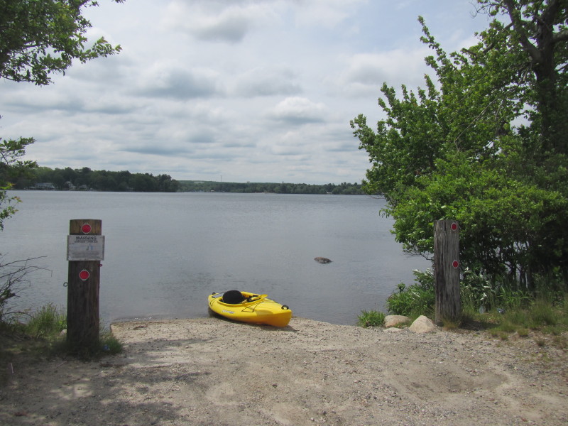
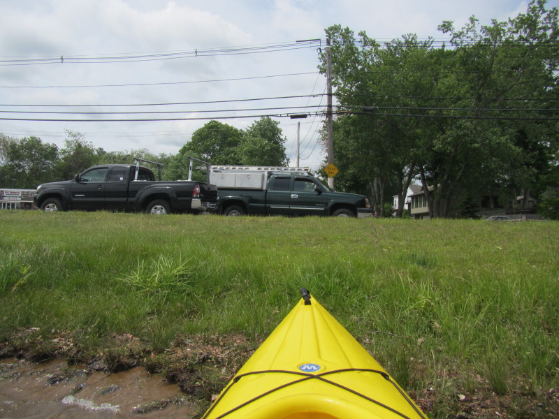
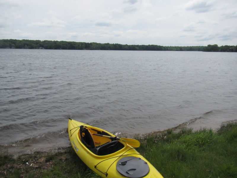 Launching into Tiogue Lake from the informal road side put in on Arnold Road.
 The Boston Kayaker just launched into Tiogue Lake.
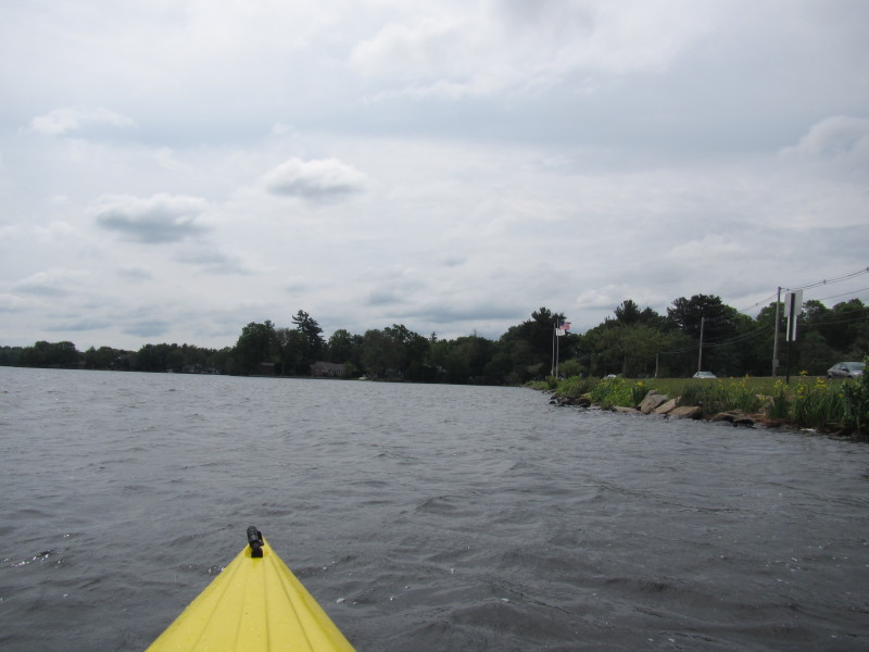
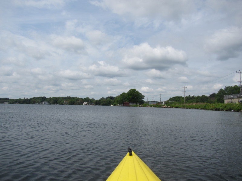
Paddling to my right southwards, will circle Tiogue Pond counter-clockwise. 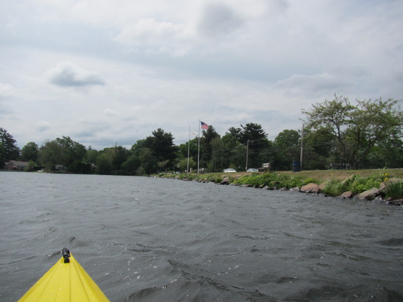 The Viewnam Veterans Memorial Park on my right.
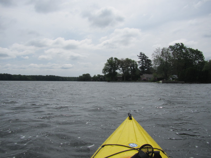
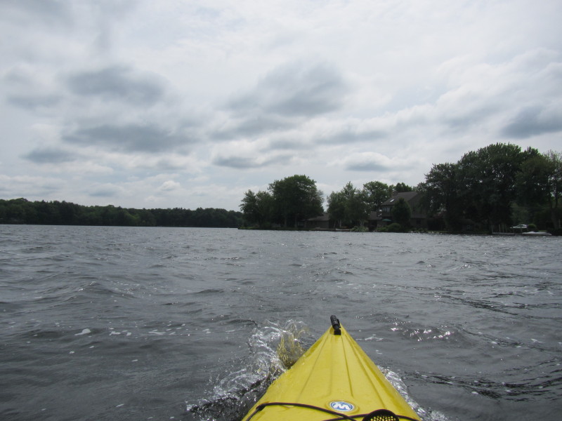
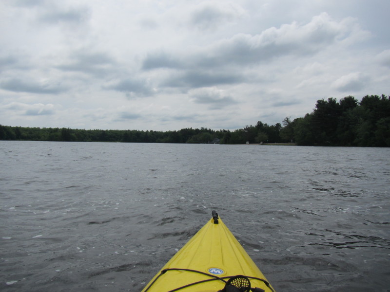
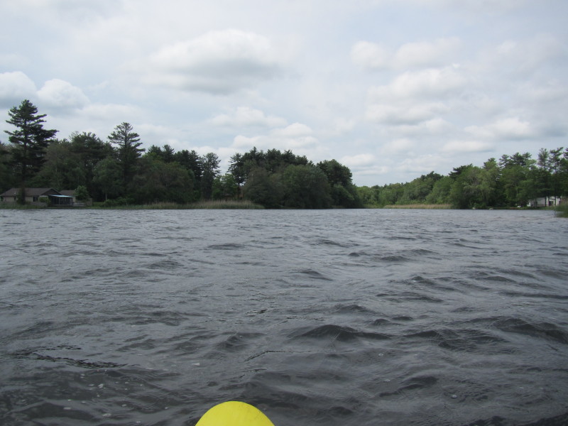
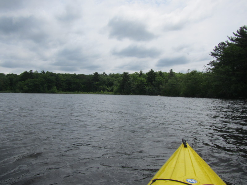
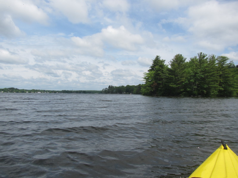
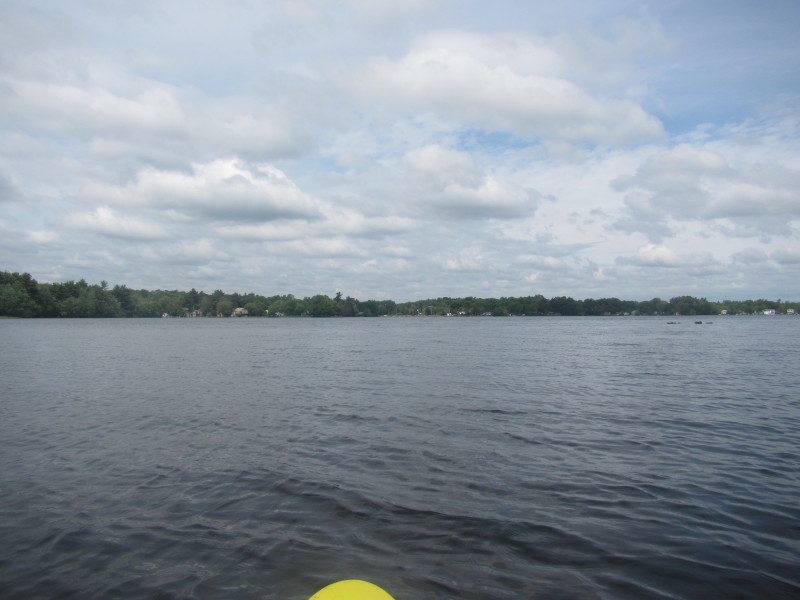
 Surprising how choppy the water is!
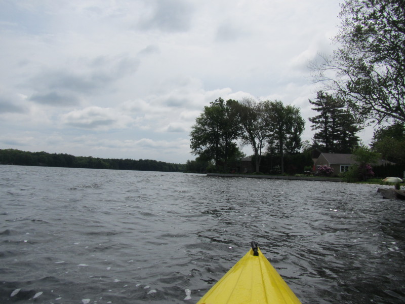
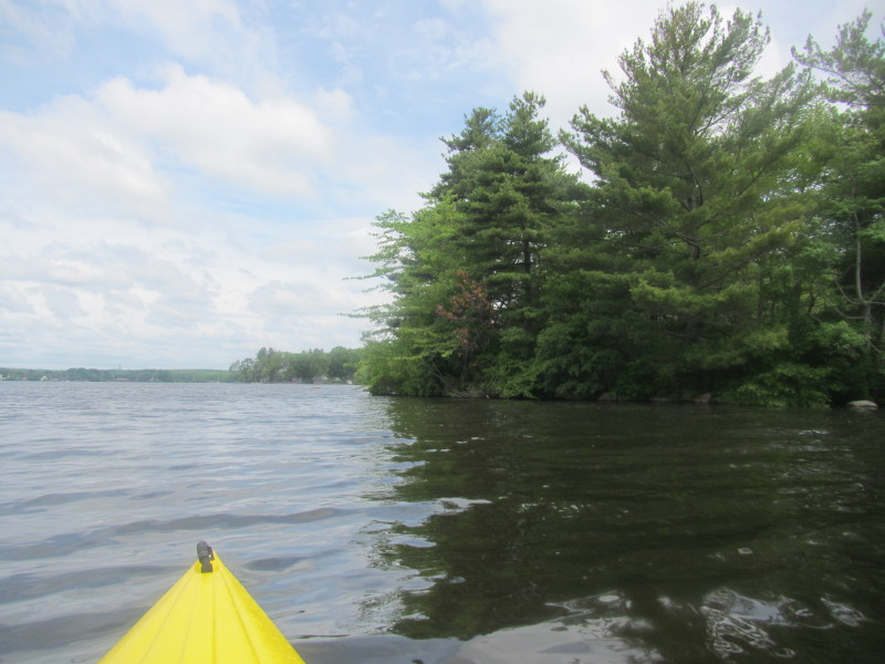
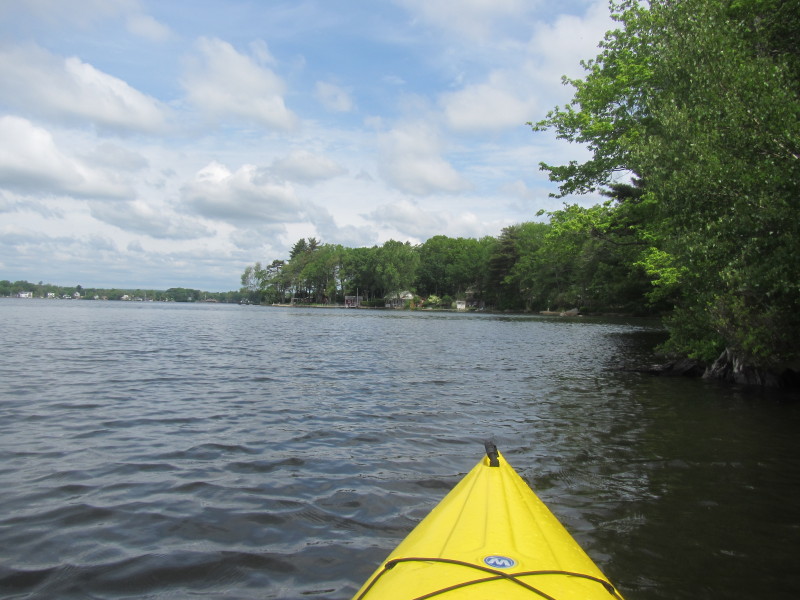
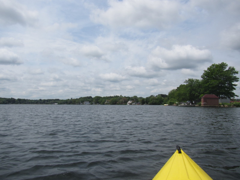
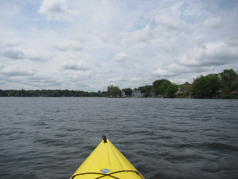
 Looking to my right is the cove north of Beach Street.
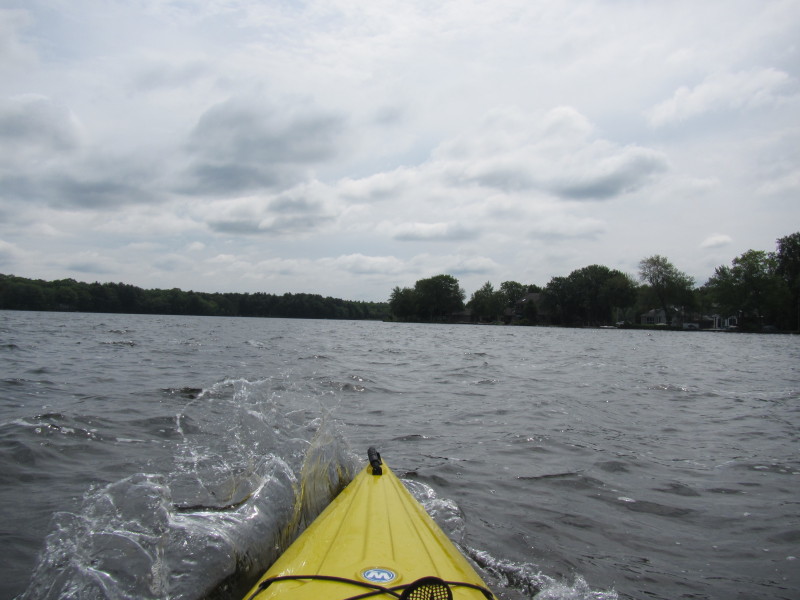
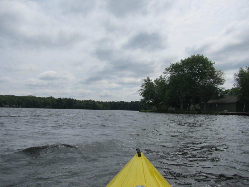 Continuing my southward paddle.
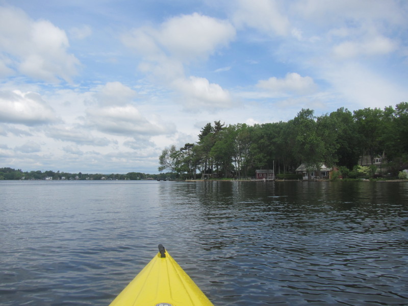
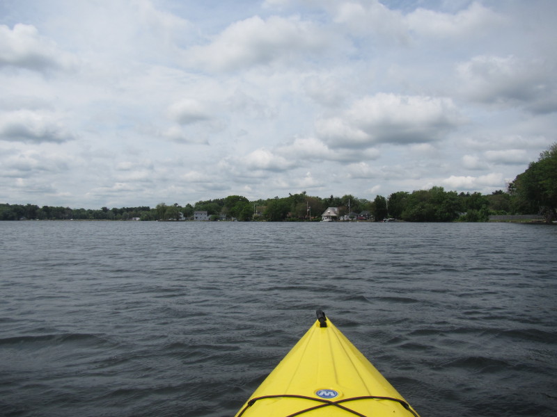
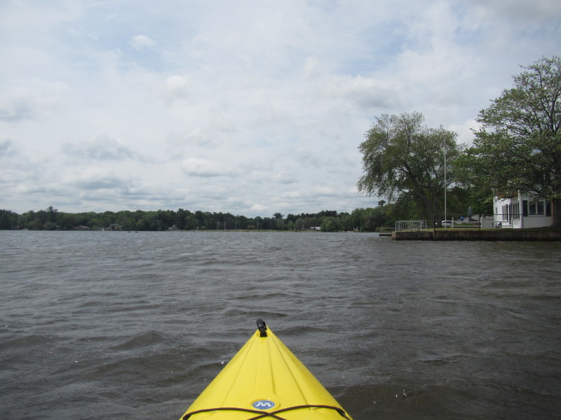
 Looking to my right is the cove south of Beach Street.
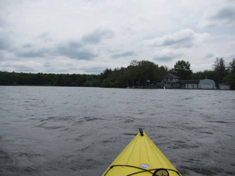
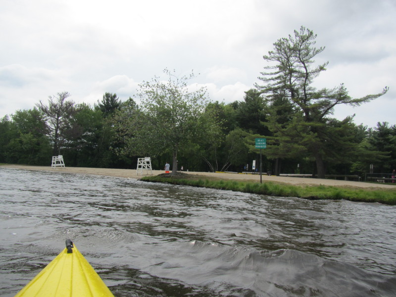 The beach at Briar Point park.
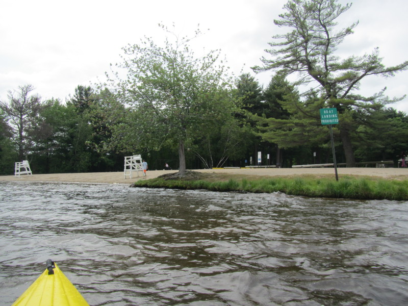 Landing not allowed on Briar Point.
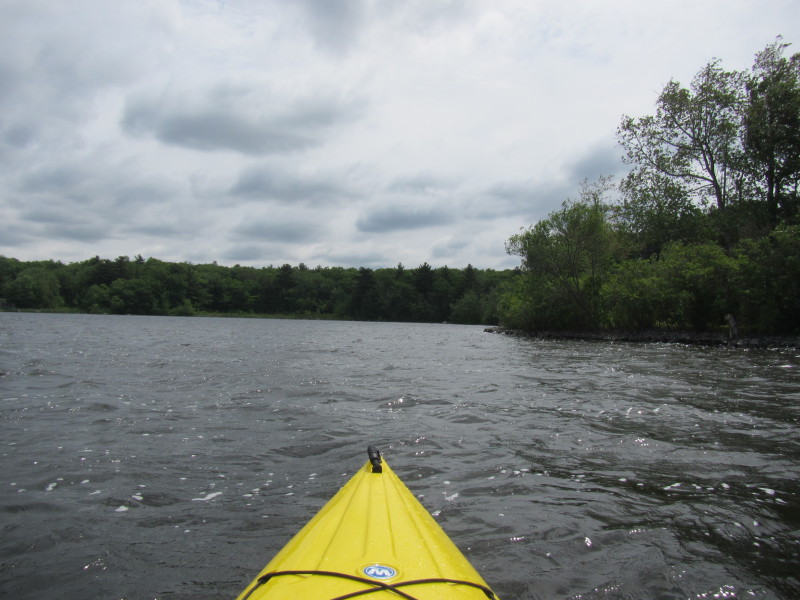
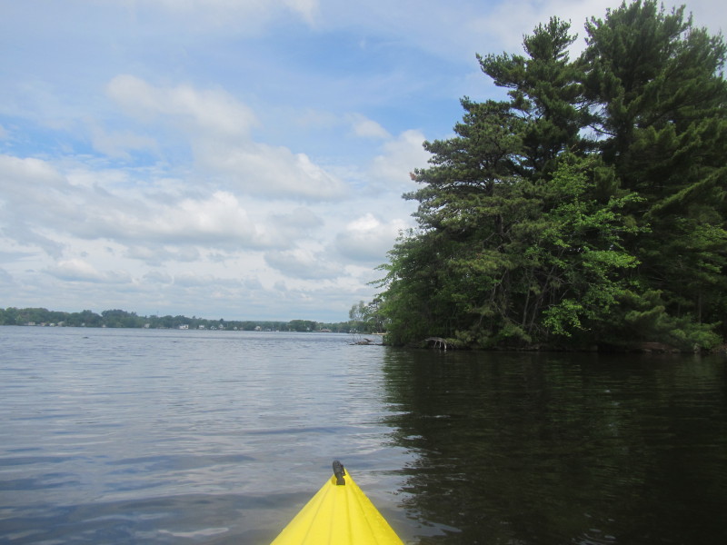
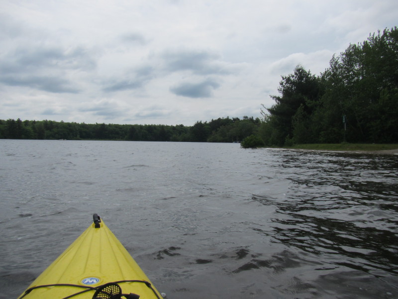 Continuing south past Briar Point.
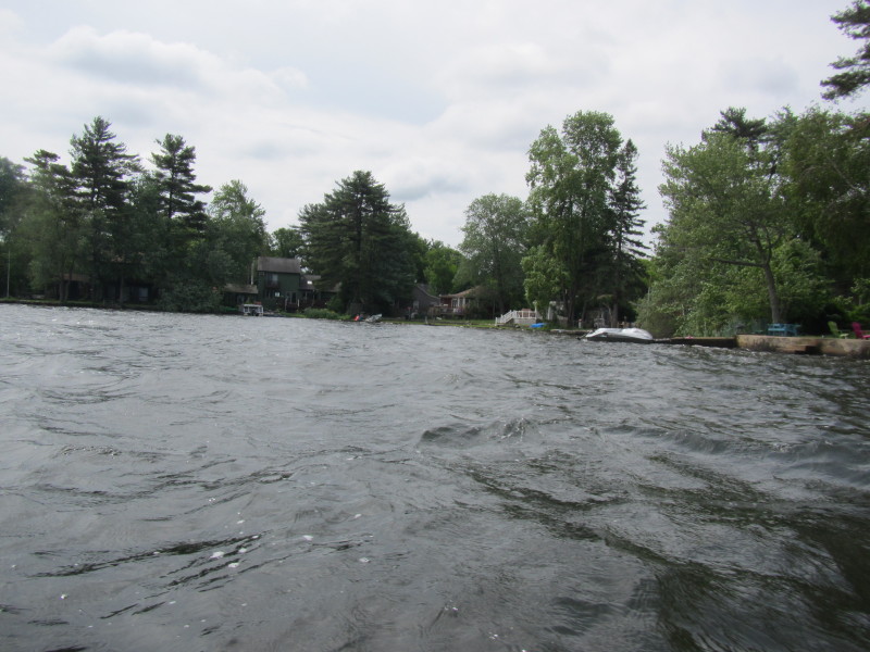
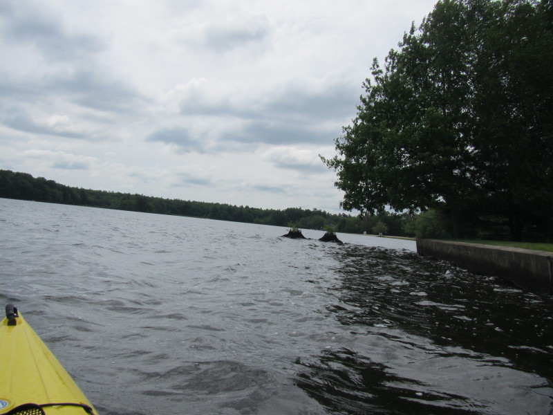
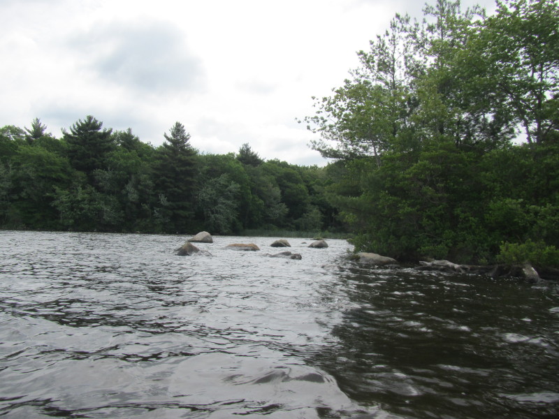
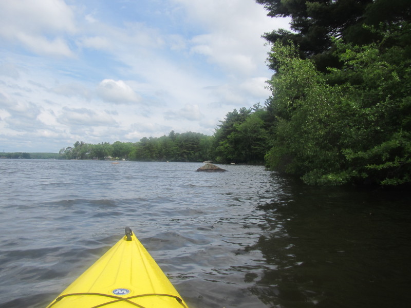
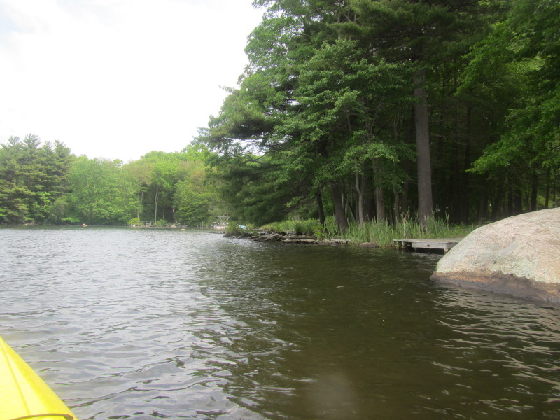
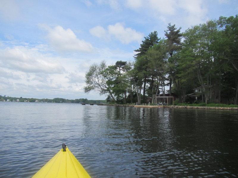
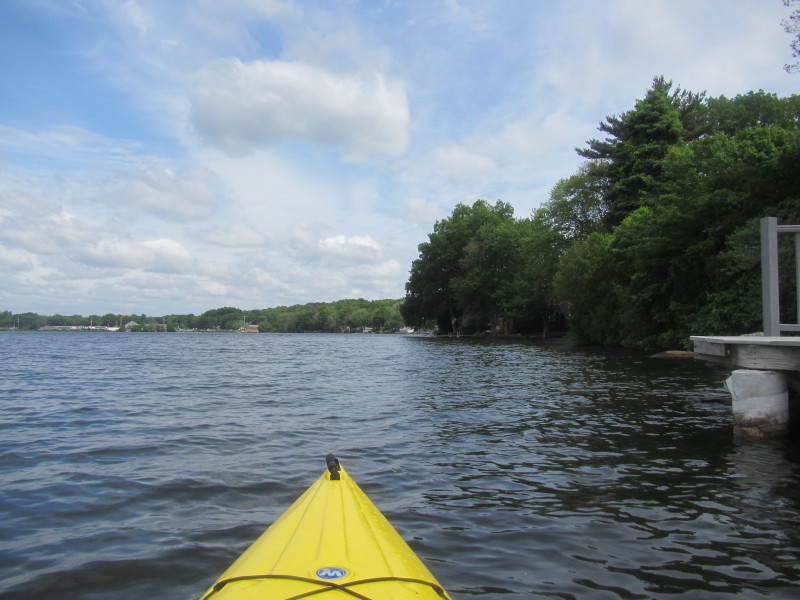
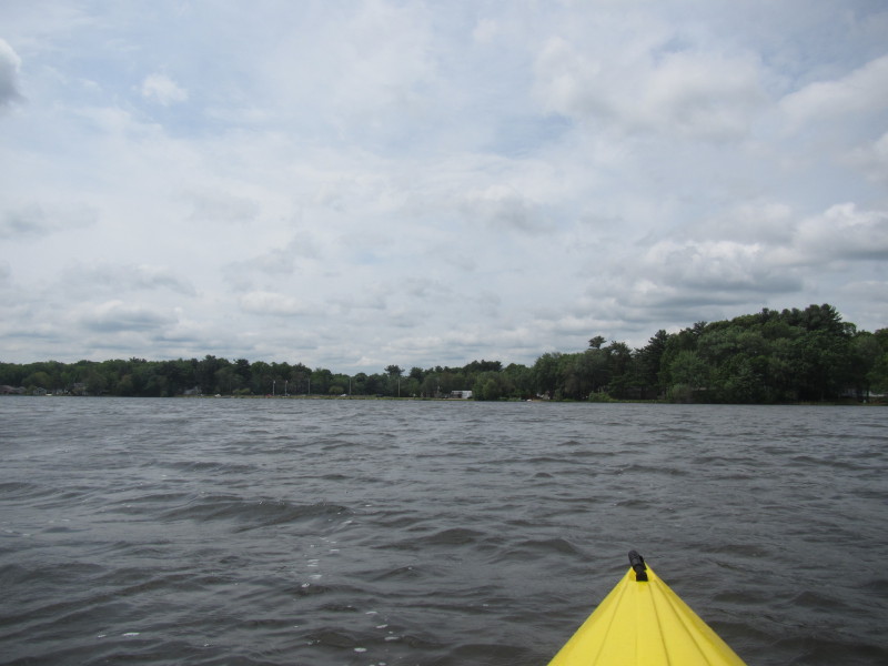
 The cove on my right south of Briar Point.
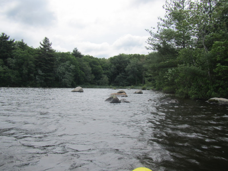
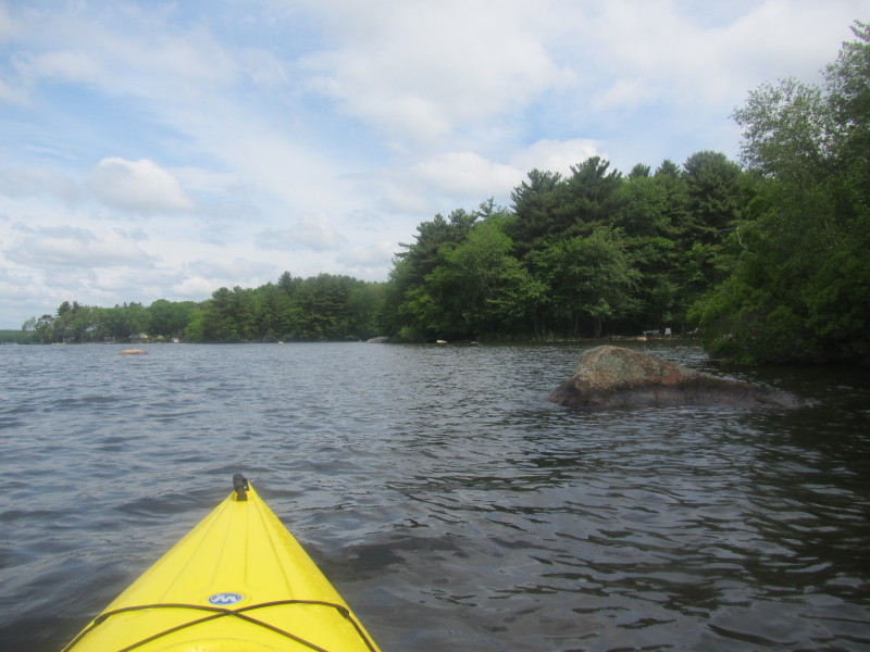
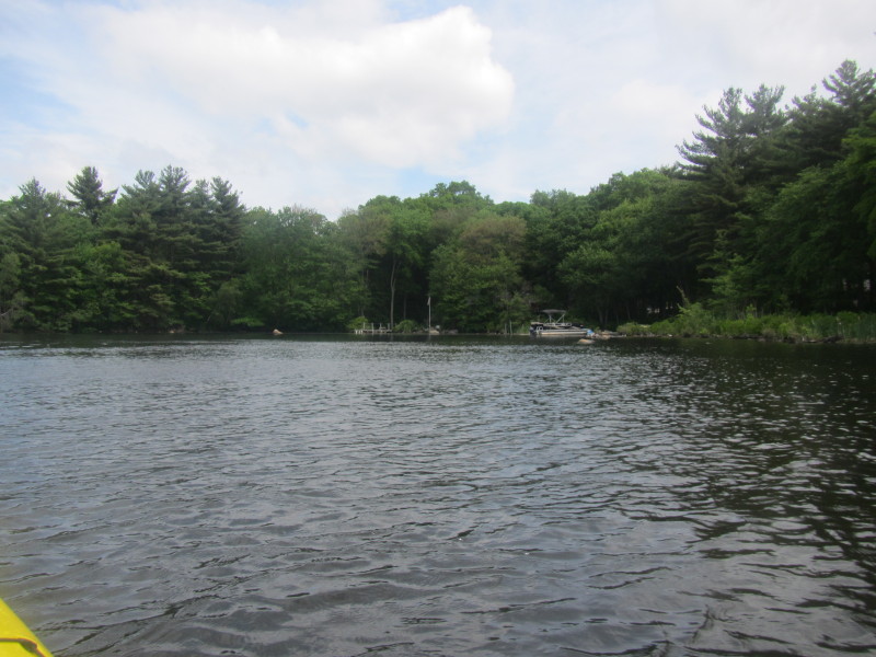
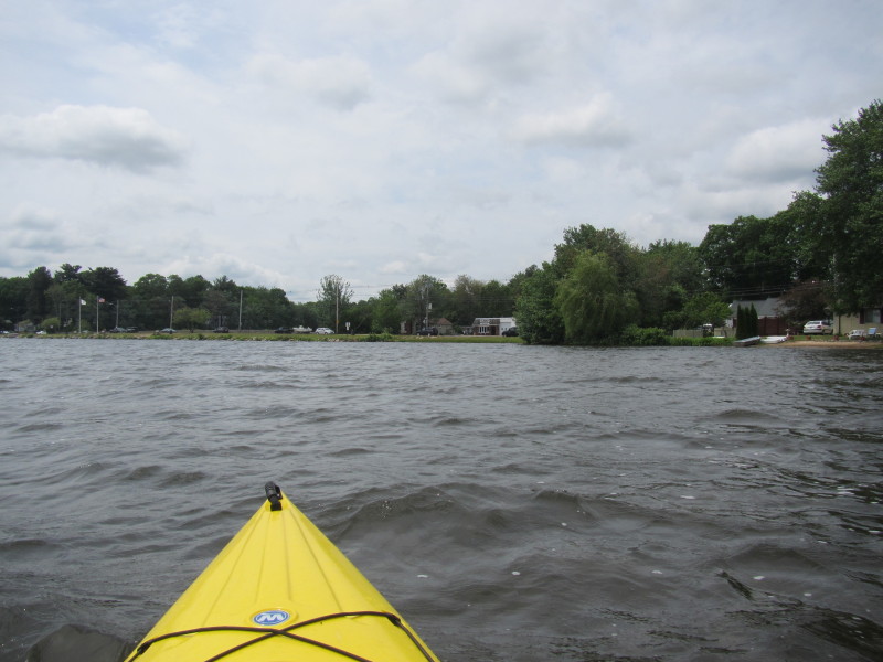
 To my right is the cove that will lead to the southern point of Lake Tiogue.
 Paddling towards the south east corner of Lake Tiogue.
 Now on the south east corner of Lake Tiogue.
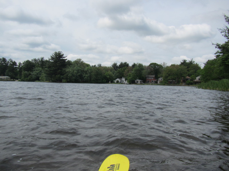
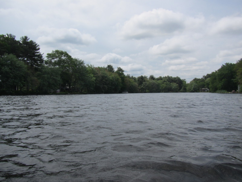
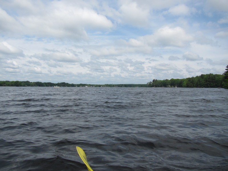 Looking north on my left at Lake Tiogue from the south east corner.
 Veering to my left, now paddling northwards.
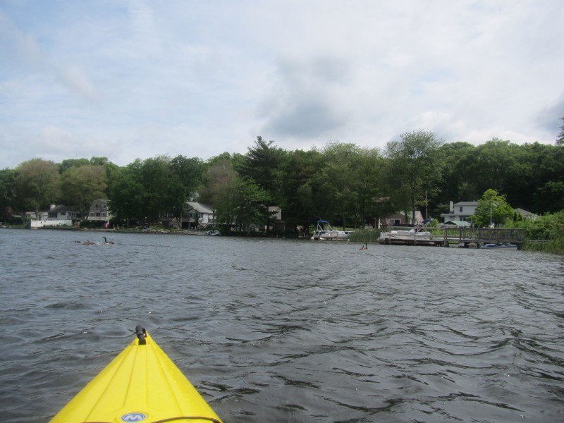
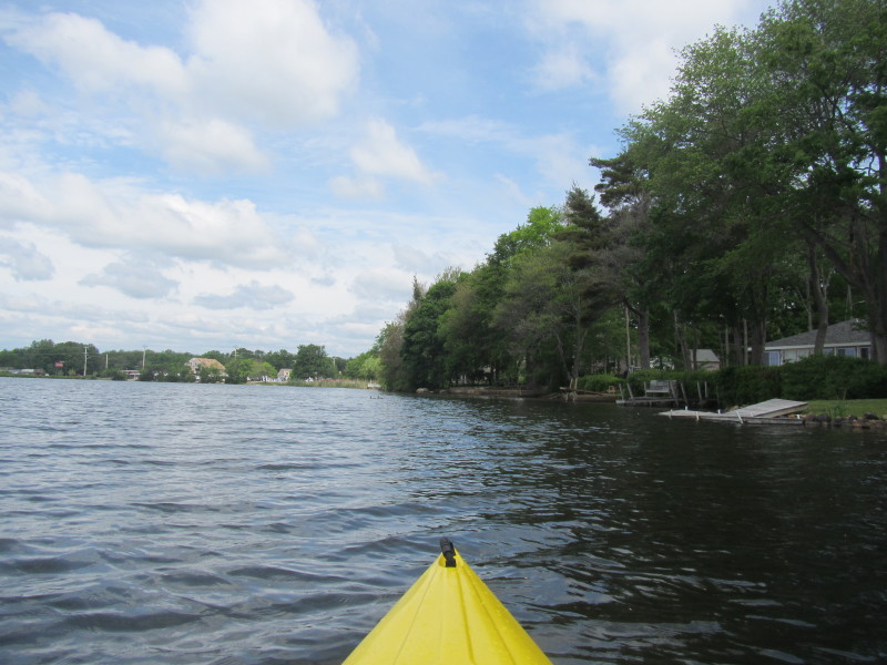
 Hugging Lake Tiogue's eastern shore on my right.
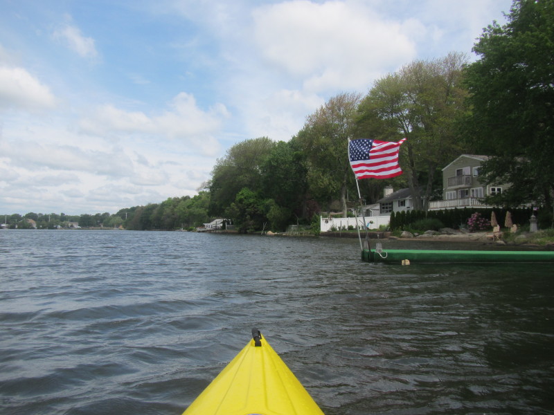
 Looking to my left, I can see the flags on the Vietnam Veterans' Memorial Park on the western shore of Lake Tiogue.
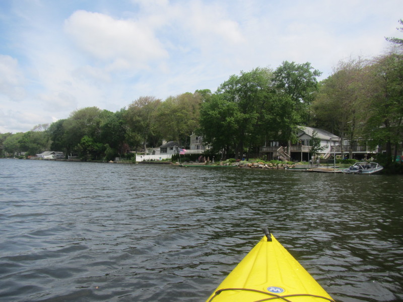
 Continuing my northward paddle along the eastern shore.
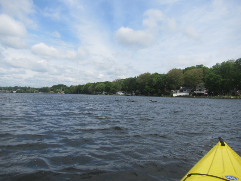
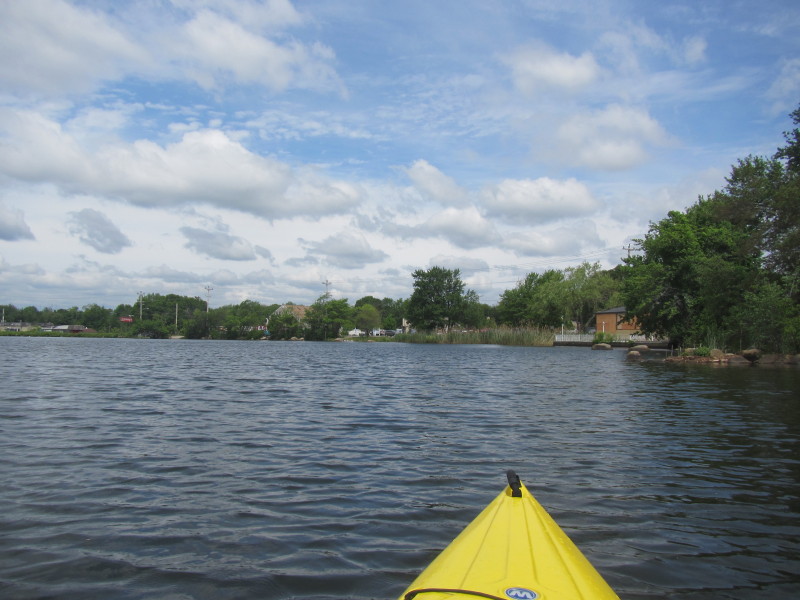
 Ahead of my is the north eastern corner of Lake Tiogue.
 At the north east corner of Lake Tiogue.
 Veering left . . .
 Now paddling westwards along the north shore of Lake Tiogue.
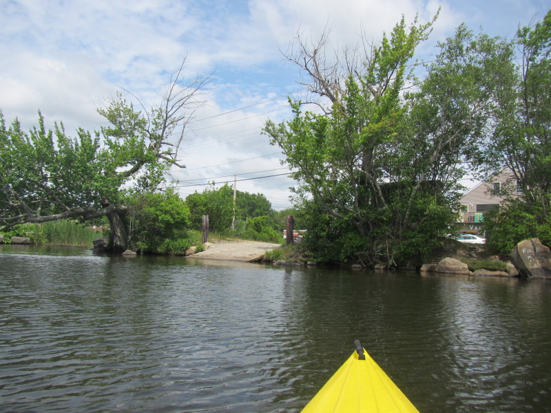 I belatedly discovered this ramp on the north shore of Lake Tiogue on Route 3 / Tiogue Avenue.
 Landed for a break at the public launch area on Route 3.
 Back on the water of Lake Tiogue. Paddling westward.
 Now rounding the north west corner of Lake Tiogue.
 I can see my pick-up and landing site on Arnold Road.
 Landed on Arnold Road's informal put in.
Paddle time was 40 minutes. |