 Kayaker

|


|
Download printer-friendly
PDF version that fits in one page: |

|
|
Other resources:
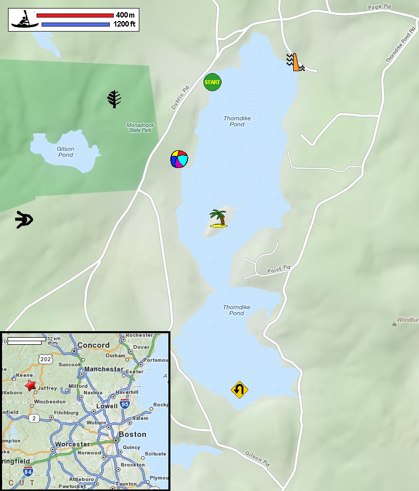
Paddling.net: Thorndike Pond Kayak Trip Report NH Love It or Leaf It: Kayaking Thorndike Pond Monadnock Vista: Kayaking on Thorndike Pond (lots of pictures) Thorndike Pond Conservation Association NH Wildlife: Thorndike Pond Topographical Map NH Wildlife: Thorndike Pond Topographical Map (cached copy) Monandnock State Park website Wikipedia: Mount Monadnock All photos in this website are original and copyrighted. 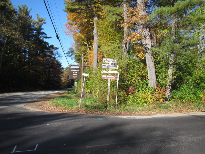 At the turn to Dublin Road from Route 104 in Jaffrey NH.
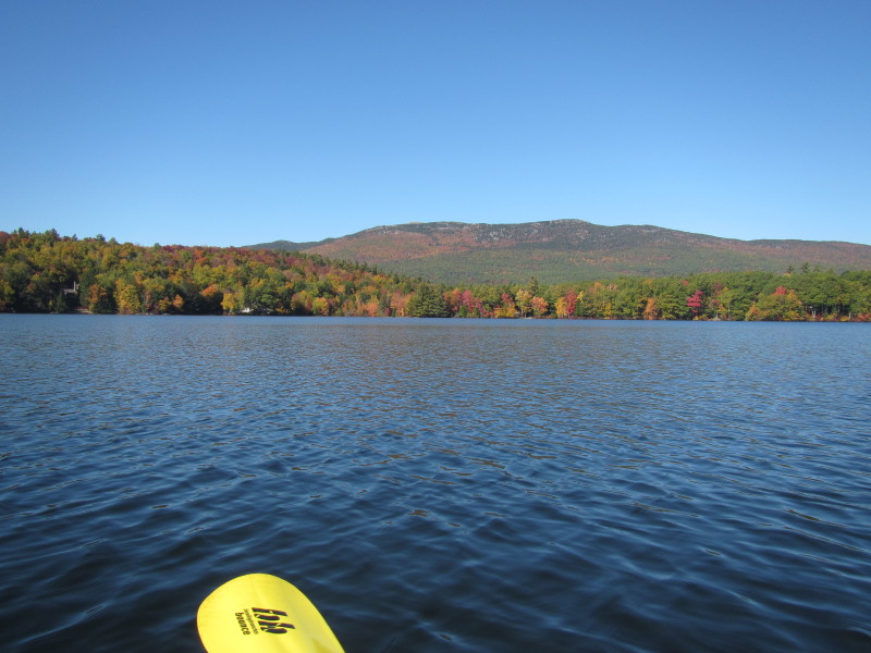
Trip date is October 2015. 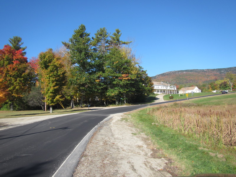 Monandnock Mountain.
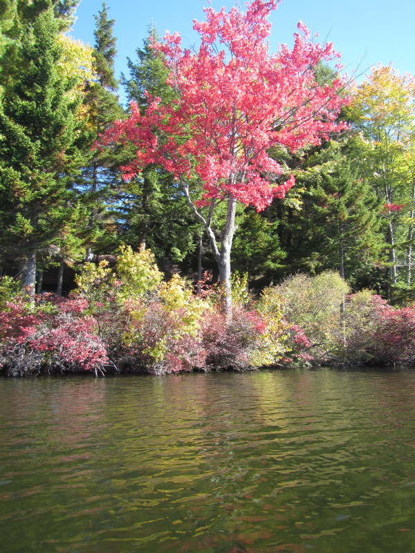
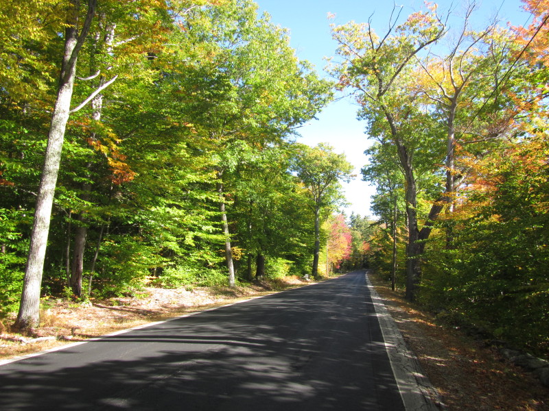 Dublin Road in Jaffrey NH. Autumn colors in display.
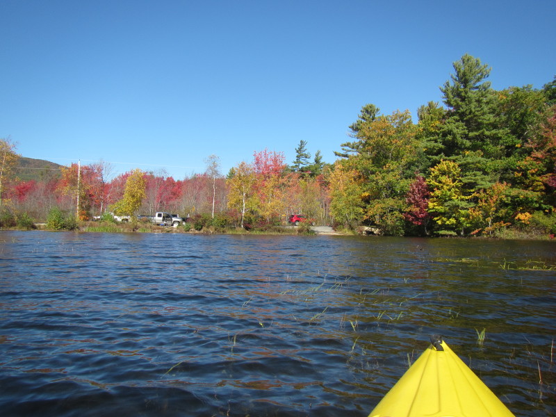
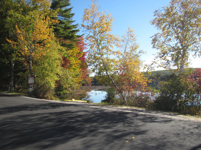 At the put in to Thorndike Pond on Dublin Road in Jaffrey NH.
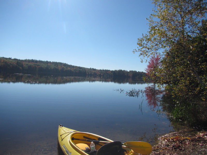
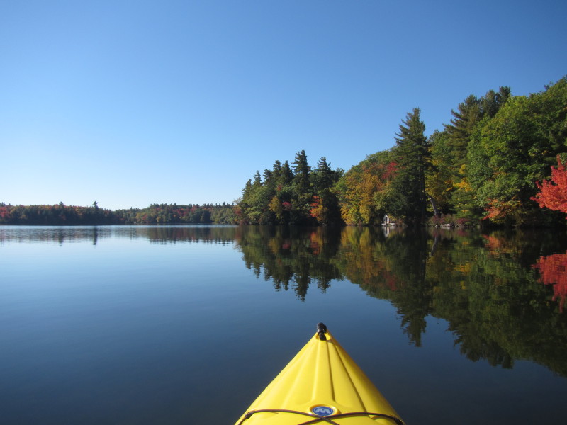
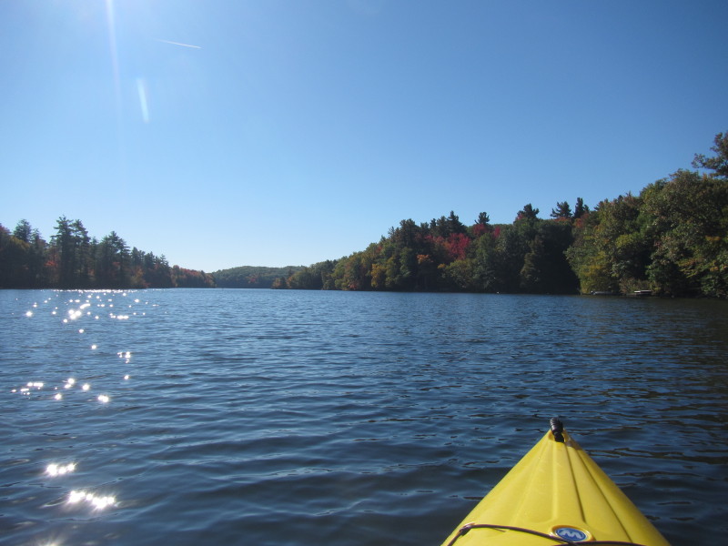
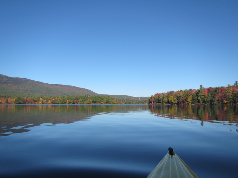
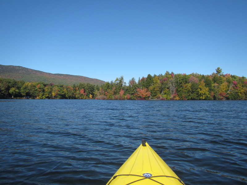
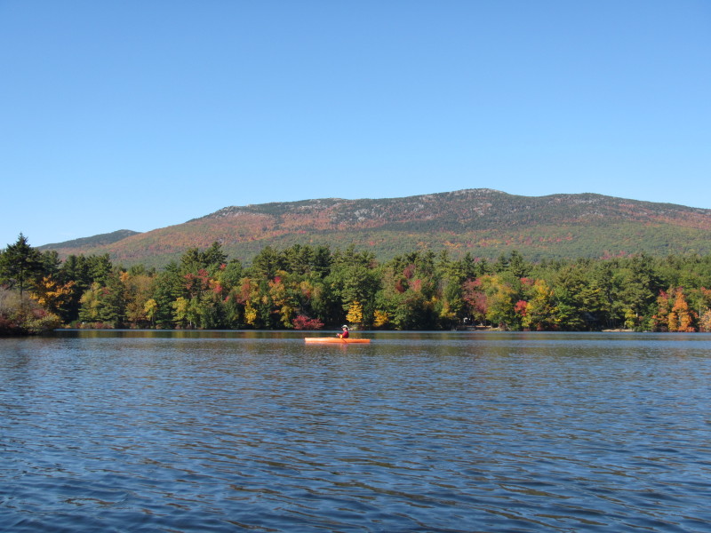
 Boston Kayaker just launched on Thurndike Pond.
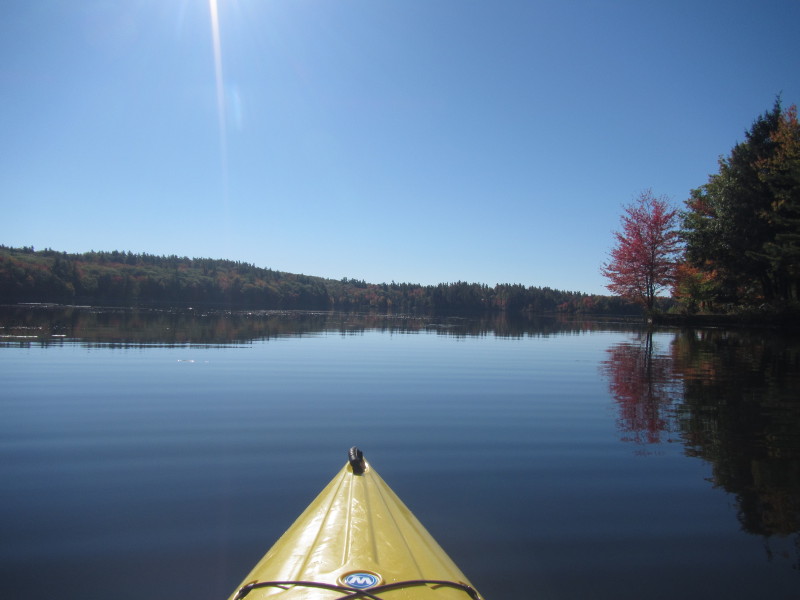
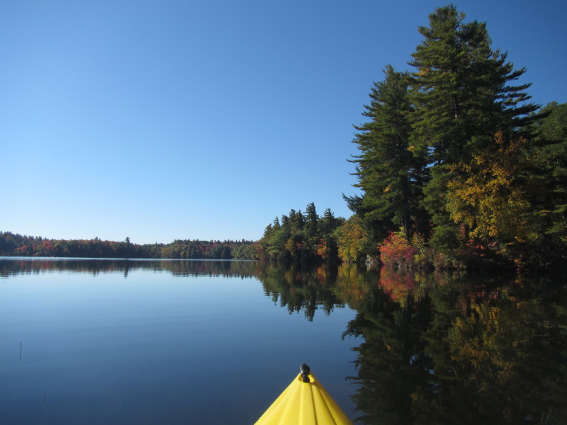
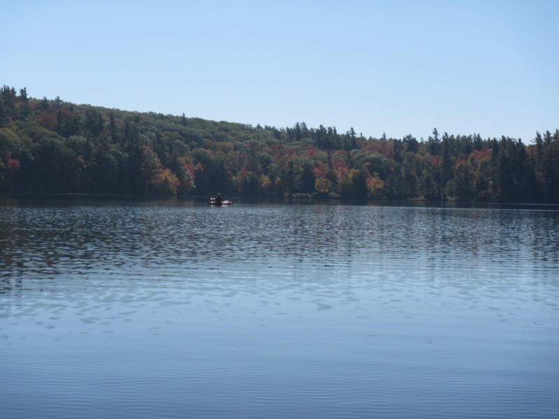
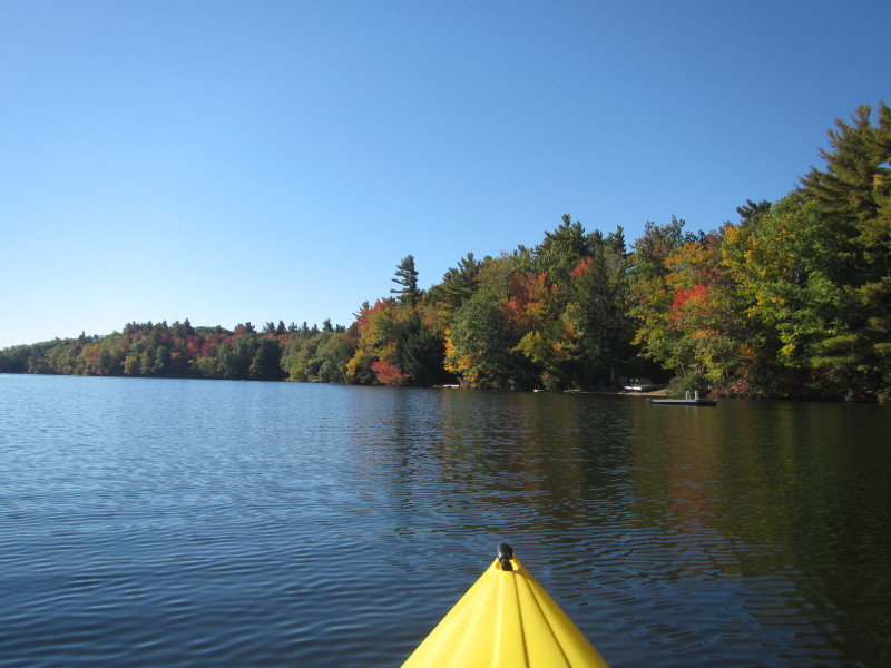
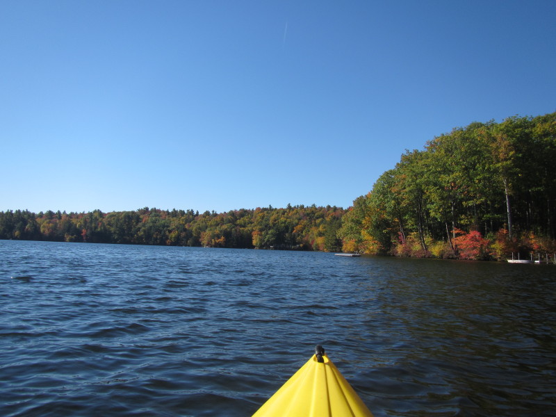
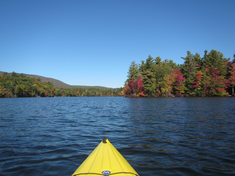
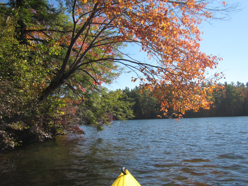
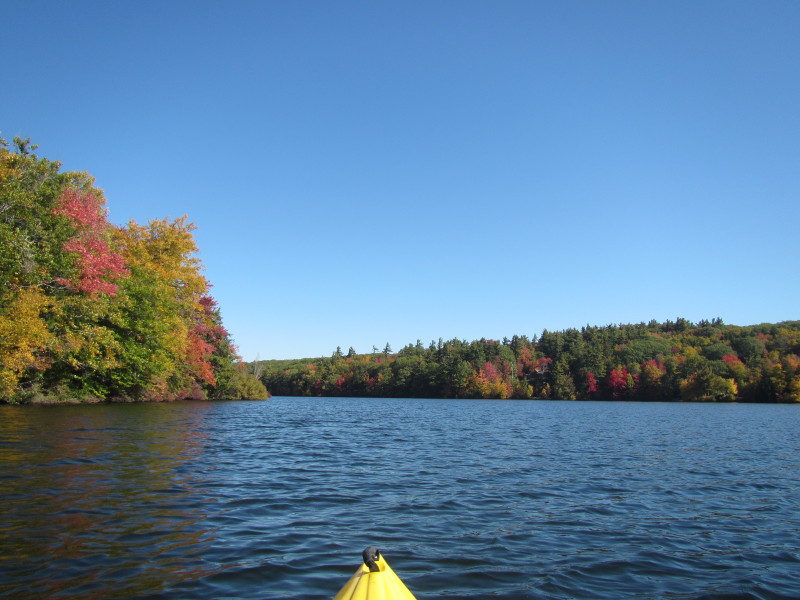
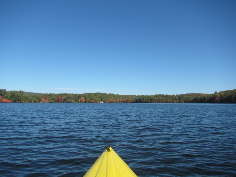
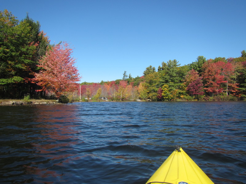
 Veered to my right, will paddle Thorndike Pond counter-clockwise.
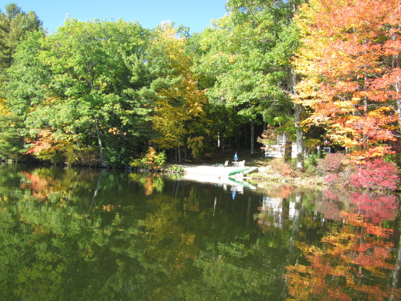
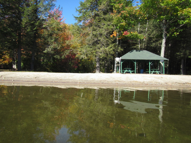
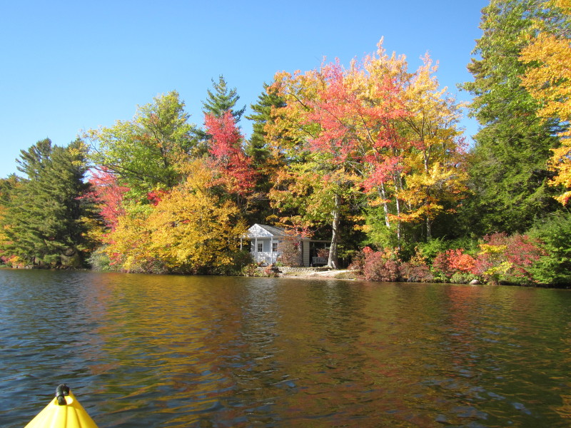
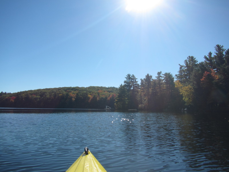
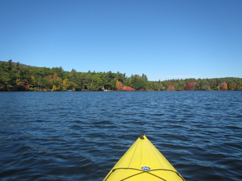
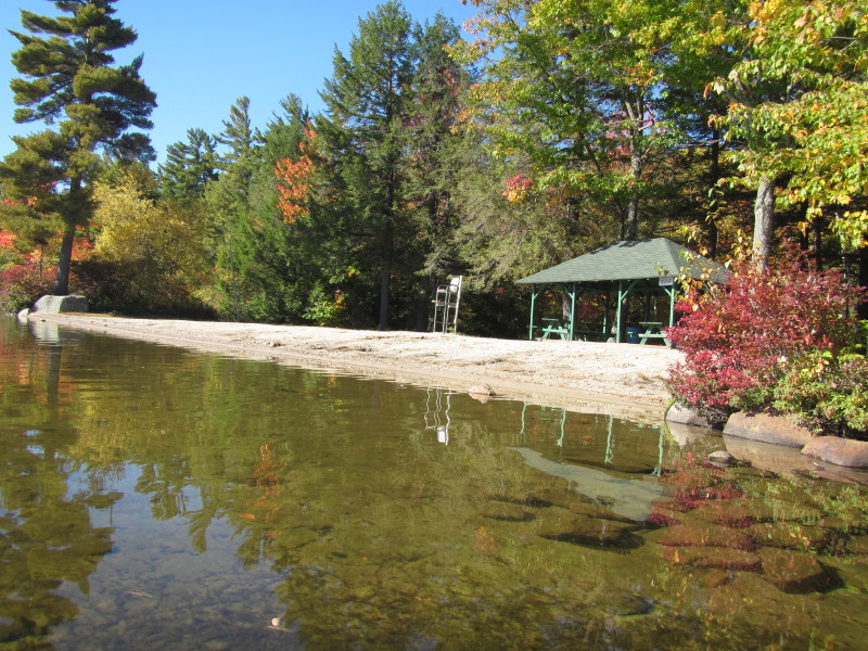 Thorndike Pond town beach.
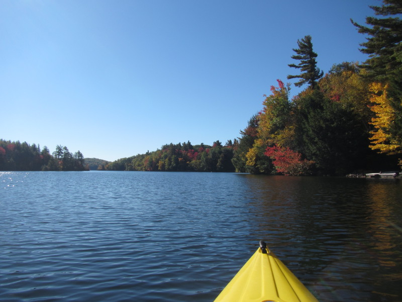
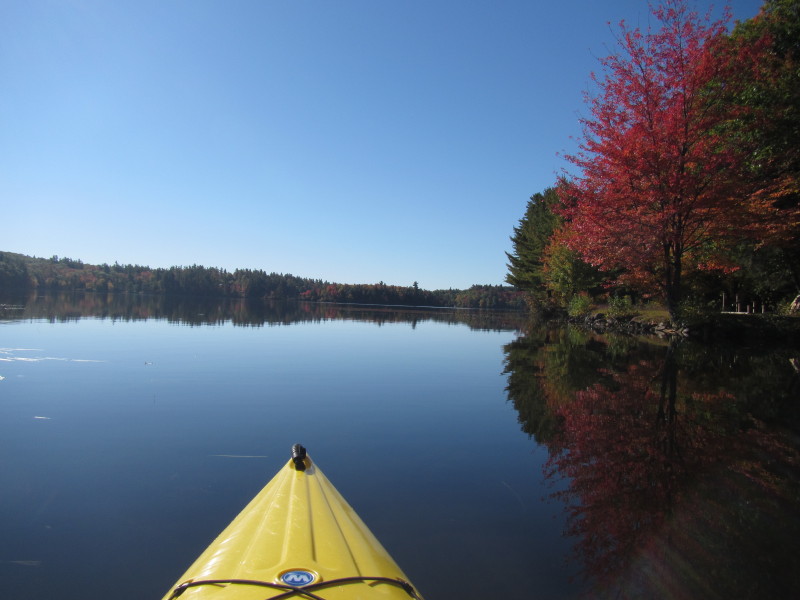
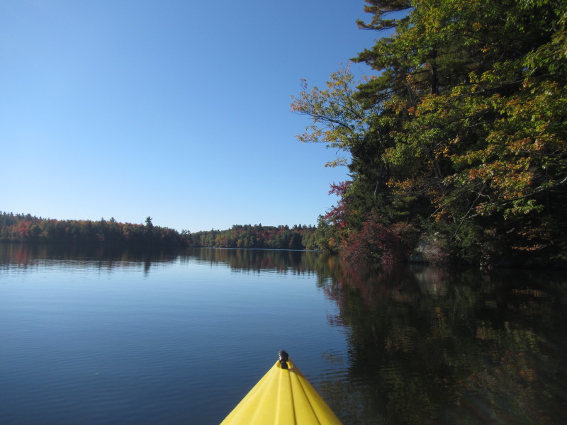
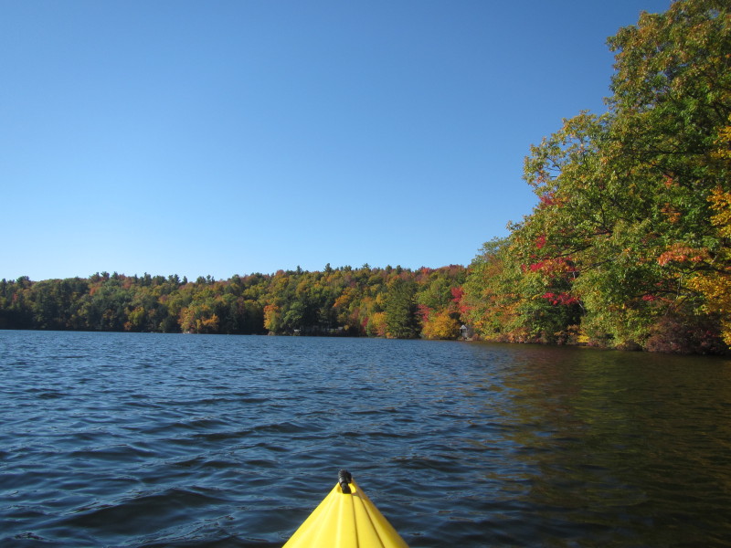
 Looking to my left.
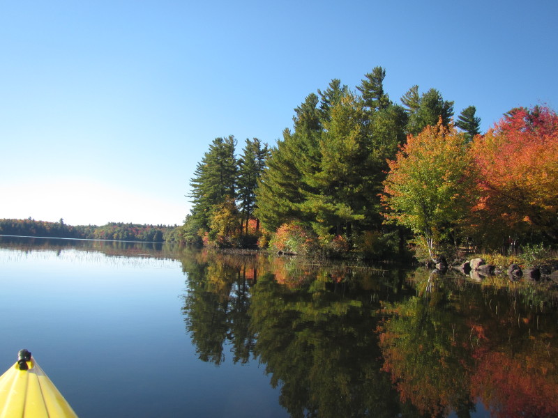
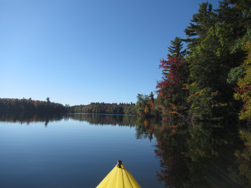
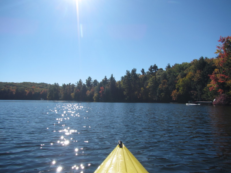
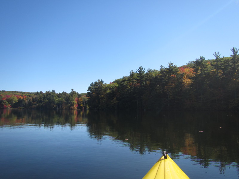
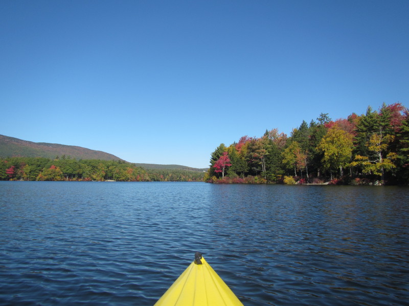
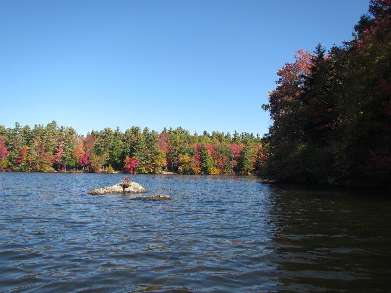
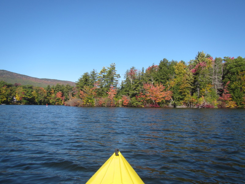
 Continuing my southward paddle.

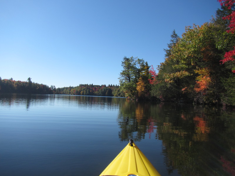
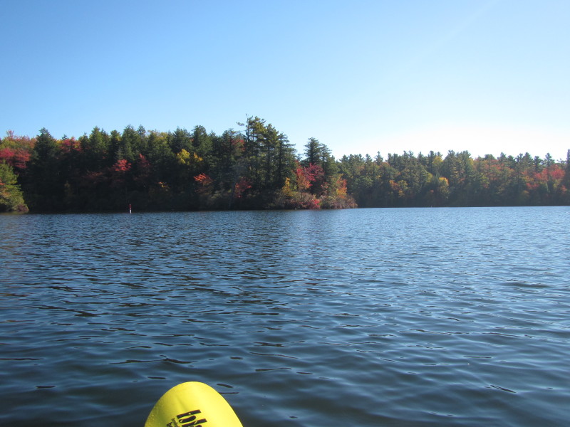
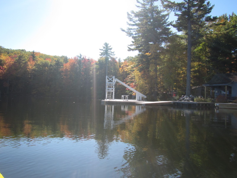
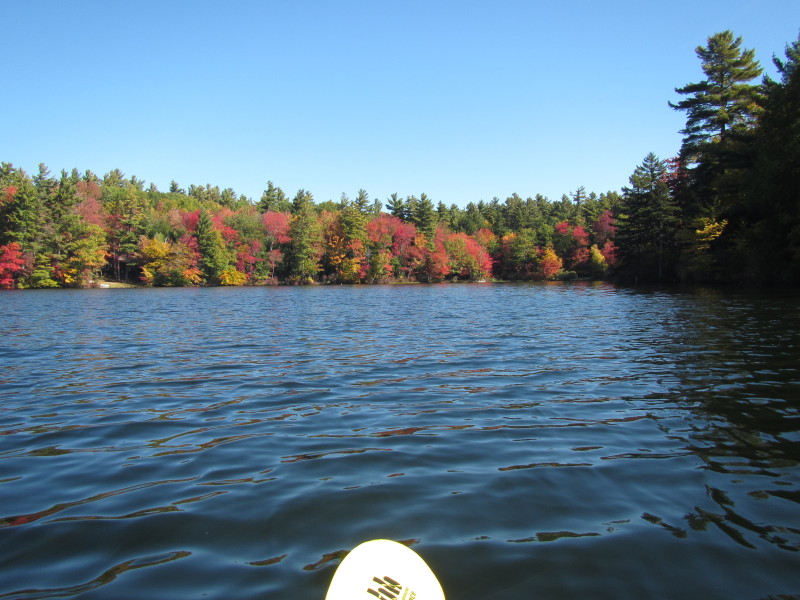
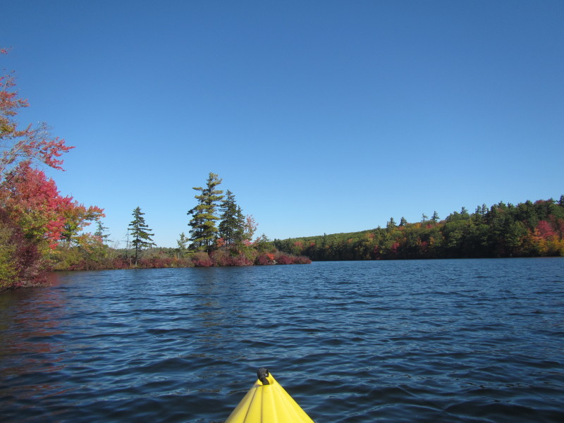
 Getting close to the south end of Thorndike Pond.
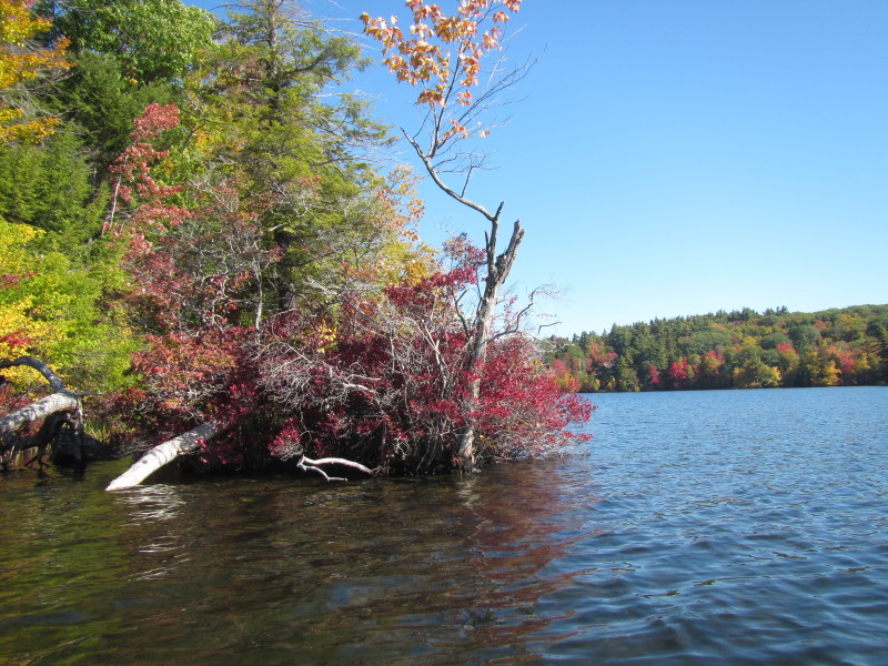
 I am now at the south east corner of Thorndike Pond.
 Veering to my left and continuing counter-clockwise paddle.
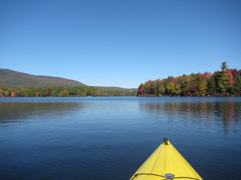
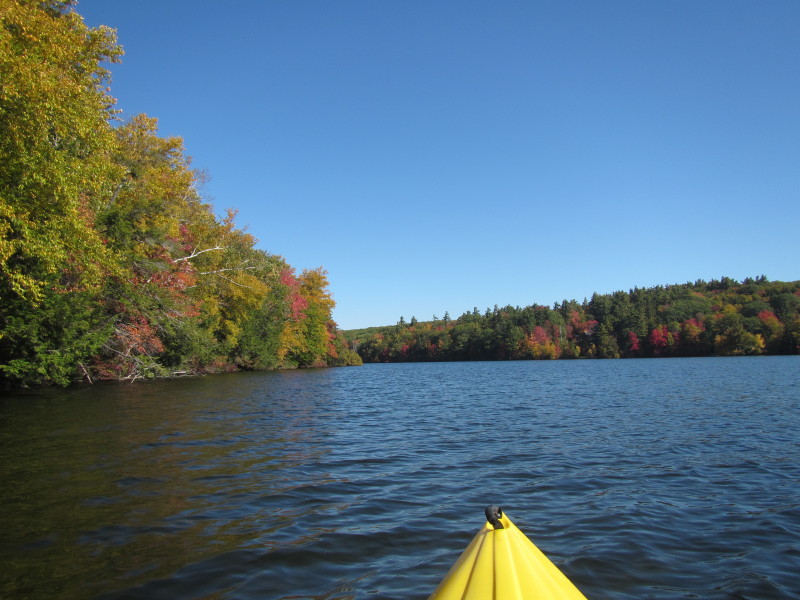
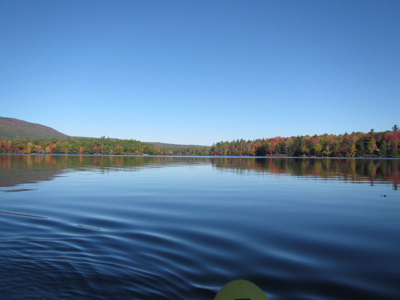 Looking to my left, the full length of Thorndike Pond viewed from the south end.
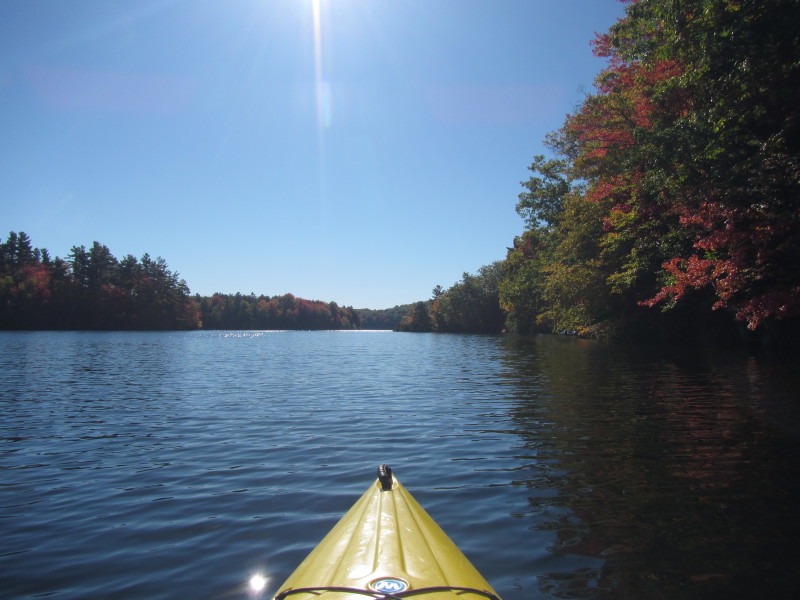
 After a short paddle, another veer to the left and I am now facing north with the
eastern bank on my right.
After a short paddle, another veer to the left and I am now facing north with the
eastern bank on my right.
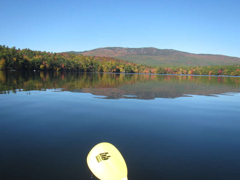
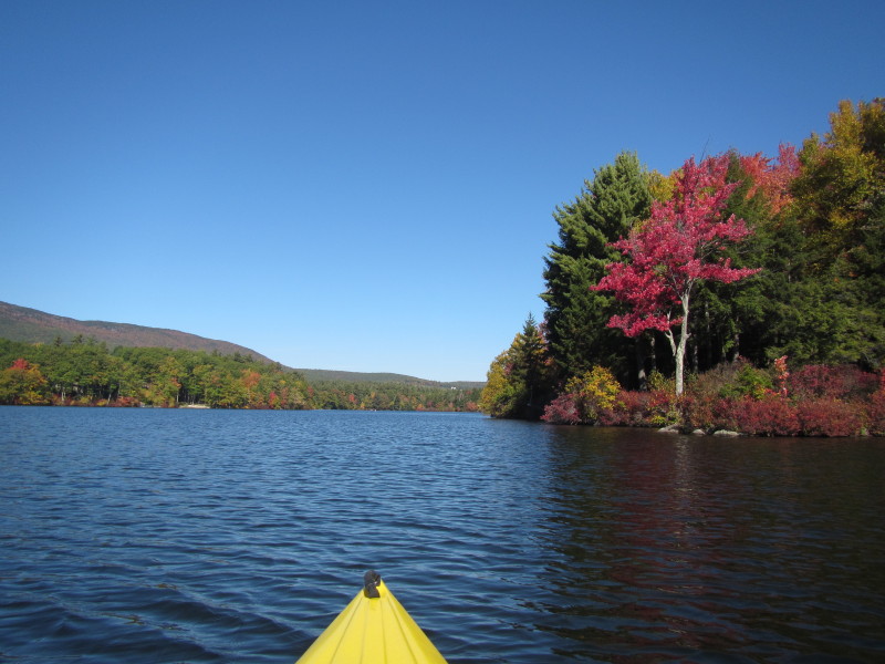
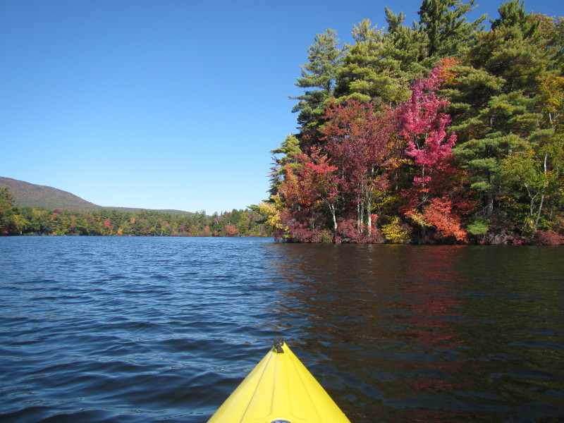
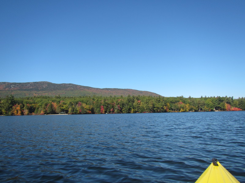
 Looking to my left (west), Monadnock Mountain.
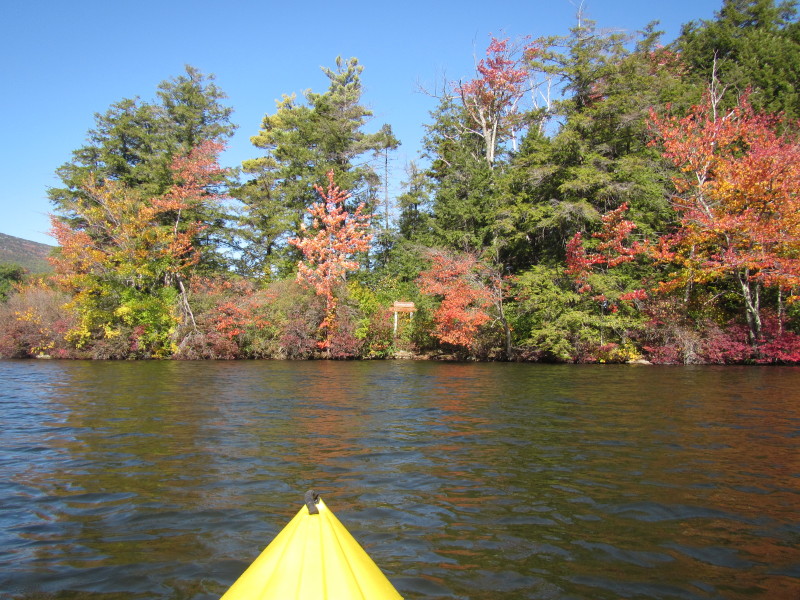
 Directly ahead of me is a sign-post on Whittmoor Island.
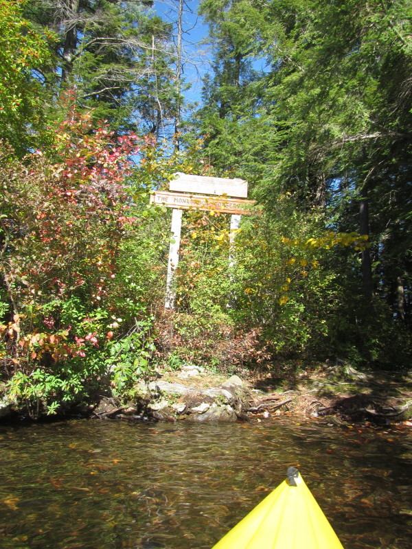
Sign reads: Whittmoor Island The Monadnock Conservancy 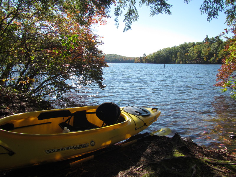 Landed on Whittmore Island to stretch my legs.
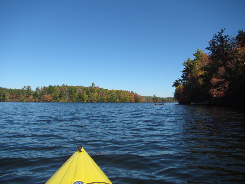
 Back on the waters of Thorndike Pond.
 Rounding Whittmoor Island on the left.
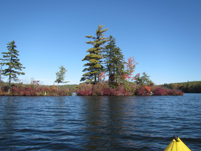
 Northern tip of Whittmoor Island.
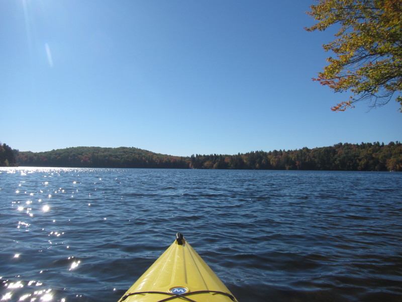
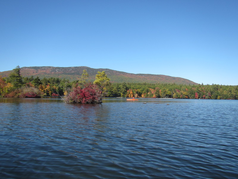 Now past Whittmore Island, Monadnock Mountain comes into view again.
 Paddling northwards to where I came from.
 Soon to land back on Dublin Road access.
Paddle time was a few minutes over 1 hour. |