 Kayaker

|


|
Download printer-friendly
PDF version that fits in one page: |

|
|
Other resources:
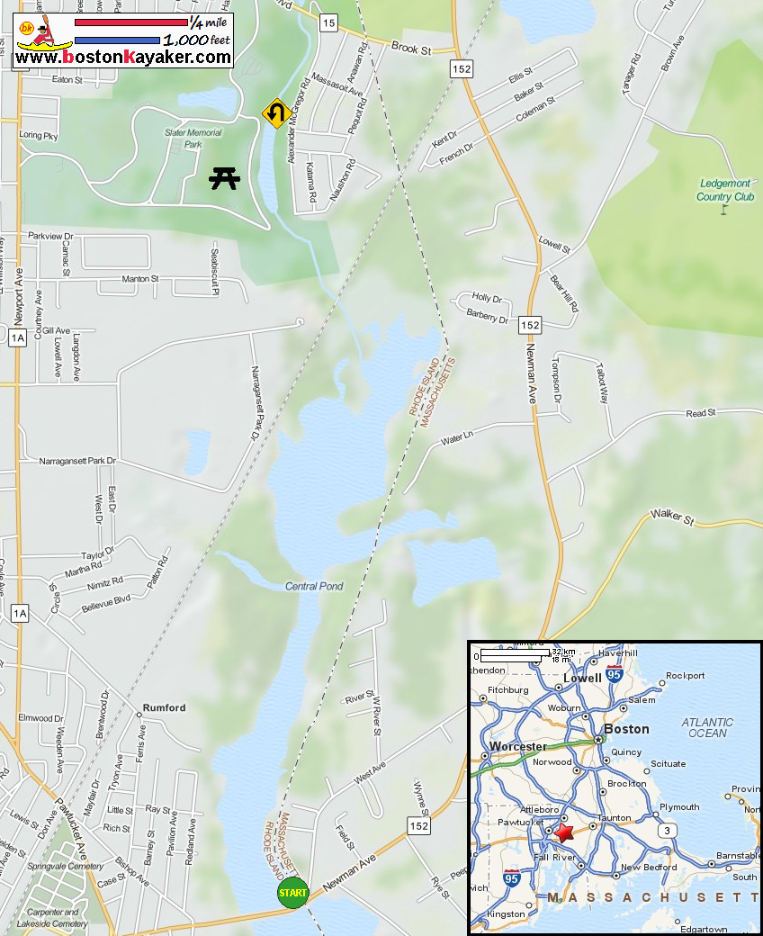
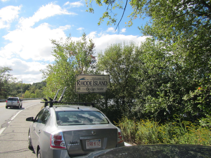
Ten Mile River Watershed Council Explore RI's Blueways and Greenways: Central Pond and Turner Pond Map and Paddling Guide (pdf) Explore RI's Blueways and Greenways: Central Pond and Turner Pond Map and Paddling Guide (cached copy) Explore RI's Blueways and Greenways: Kimberly Ann Rock Memorial (Redland Avenue) Explore RI's Blueways and Greenways: Newman Crossing Wikipedia: Slater Park Wikipedia: Daggett House All photos in this website are original and copyrighted. 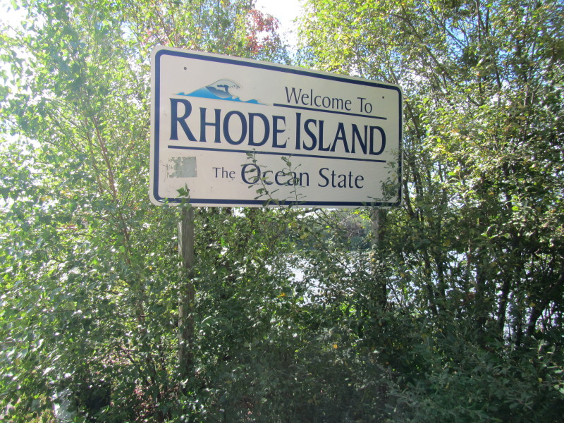 The Rhode Island border on the foot of the northeast side of Route 152 bridge.
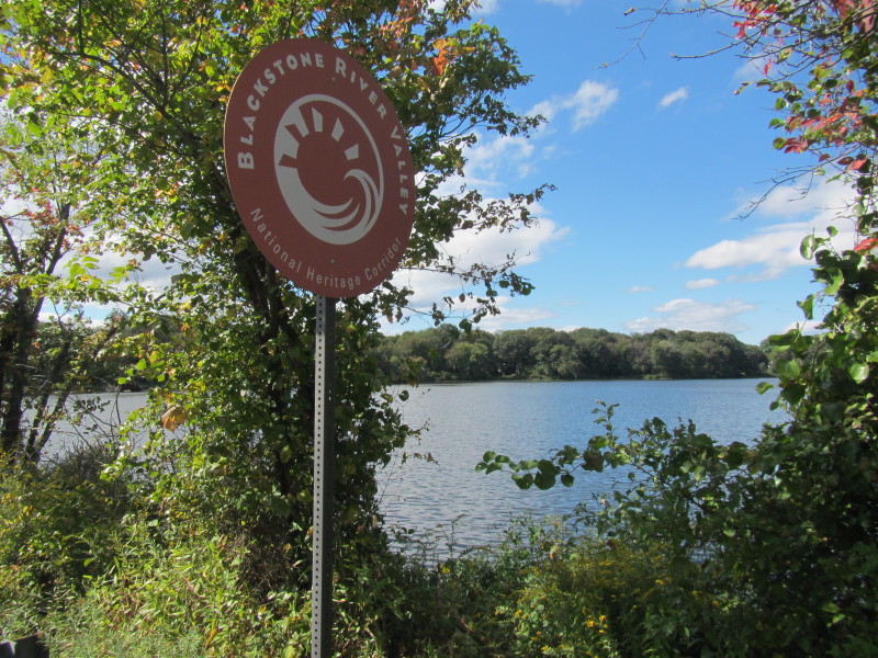
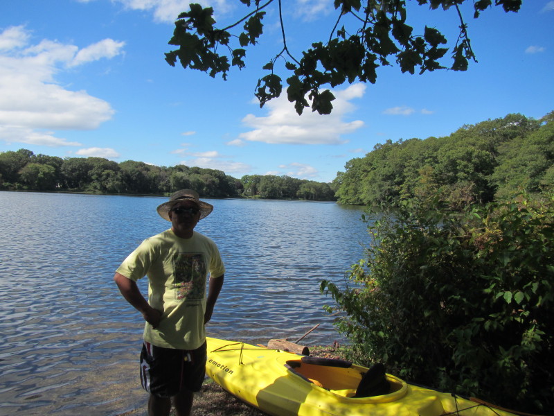 The Boston Kayaker on Central Pond launch in Seekonk MA.
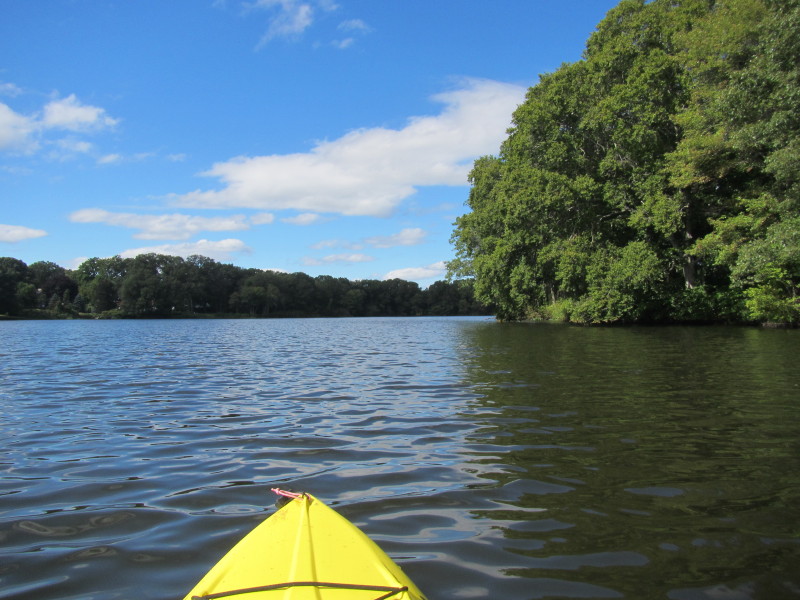
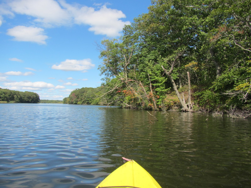
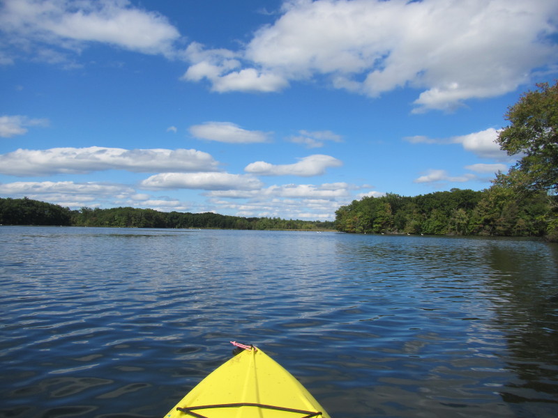
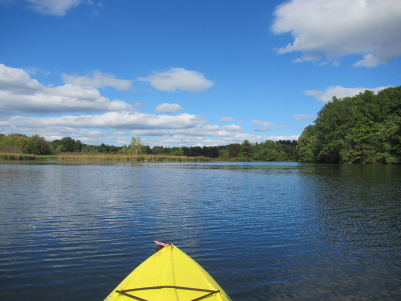
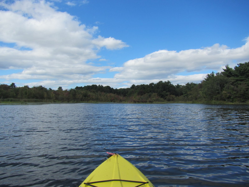
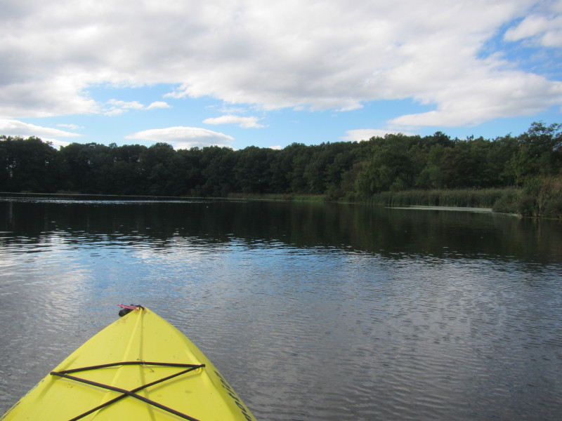
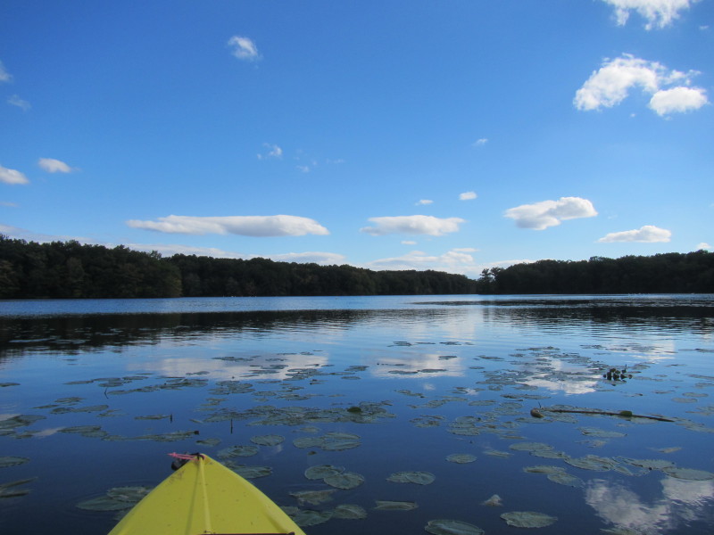
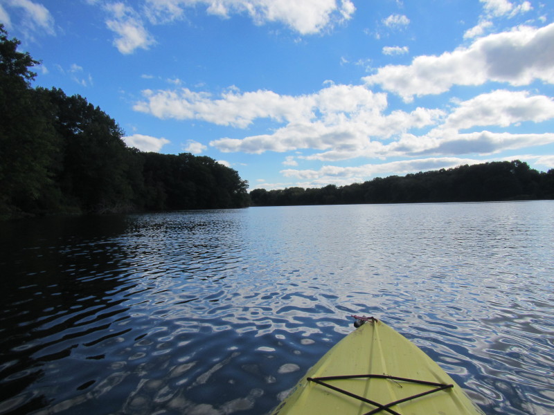
Trip date is September 2013. 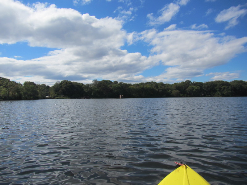 Just launched on Central Pond.
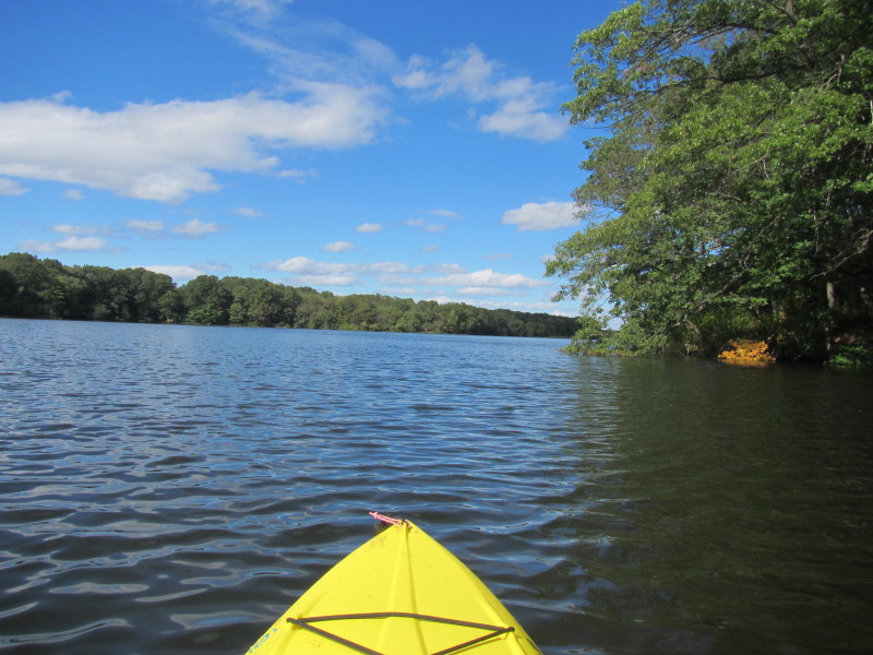
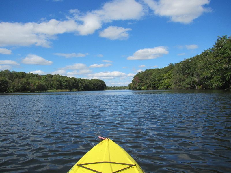
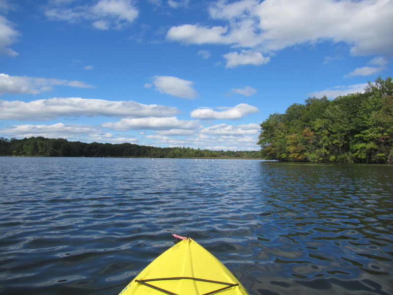
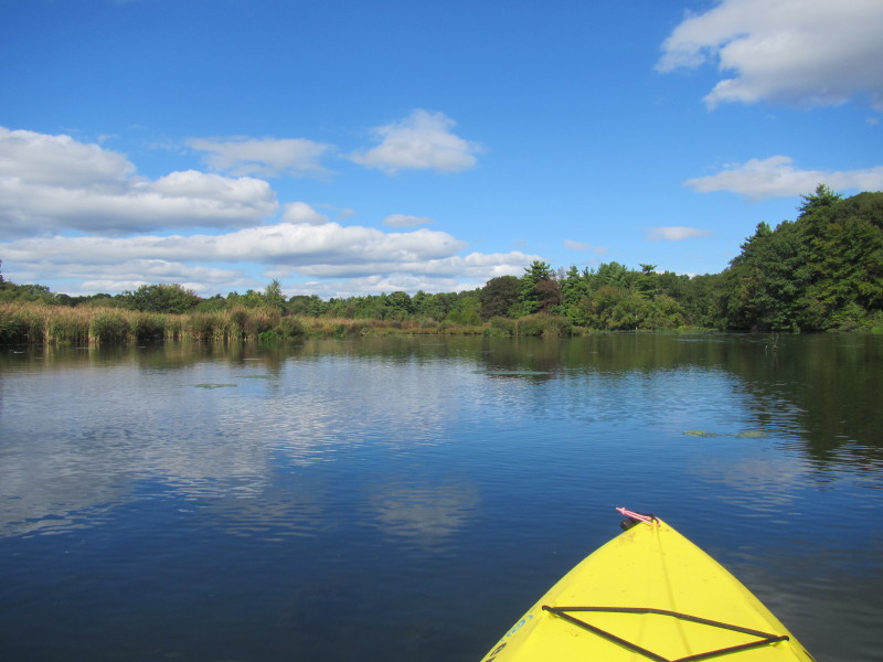
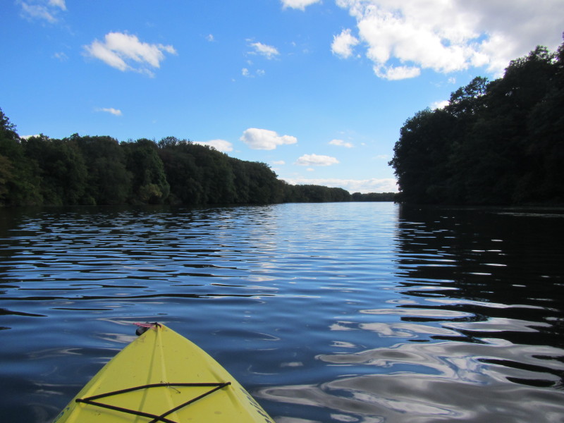
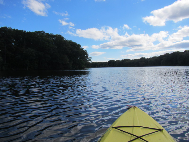
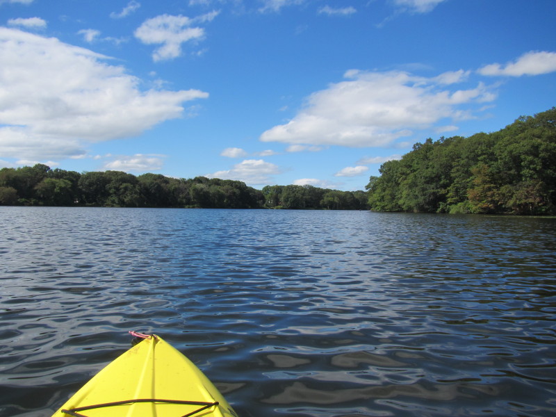 Paddling northwards.
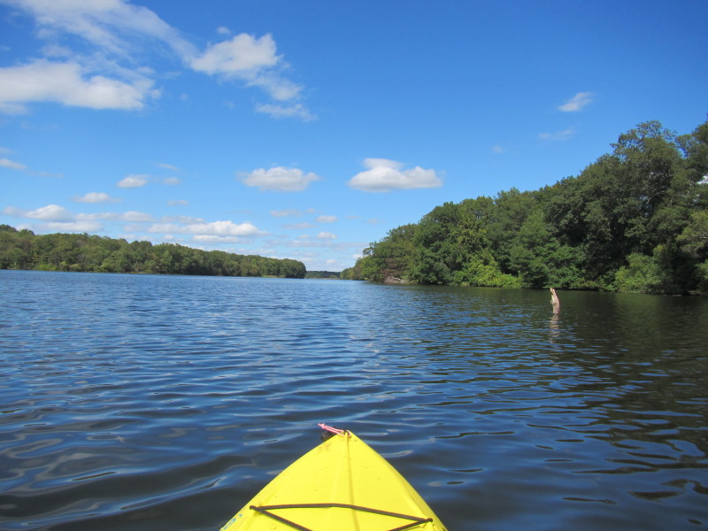
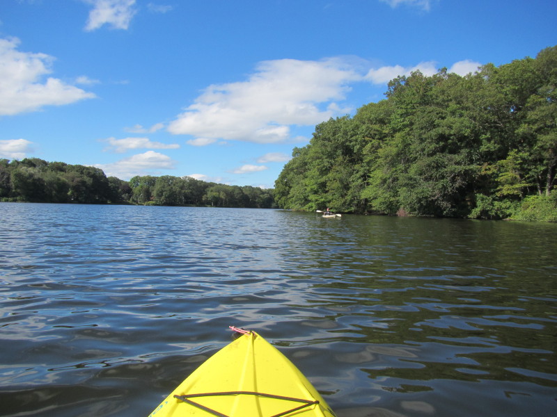 Another kayaker.
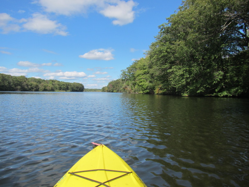
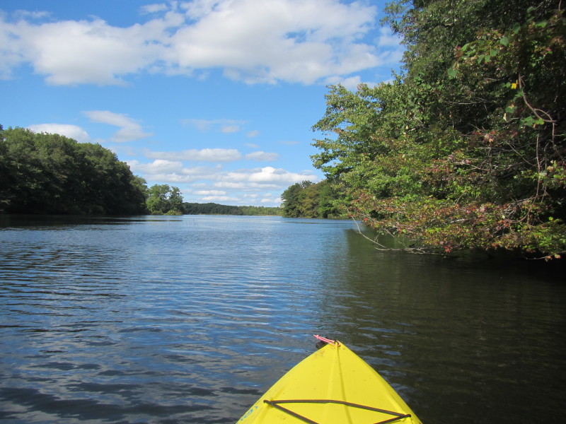
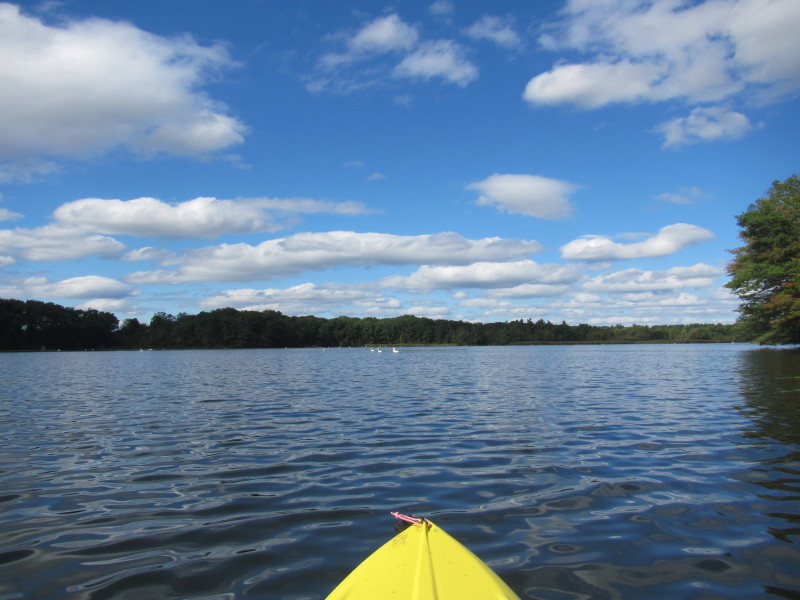
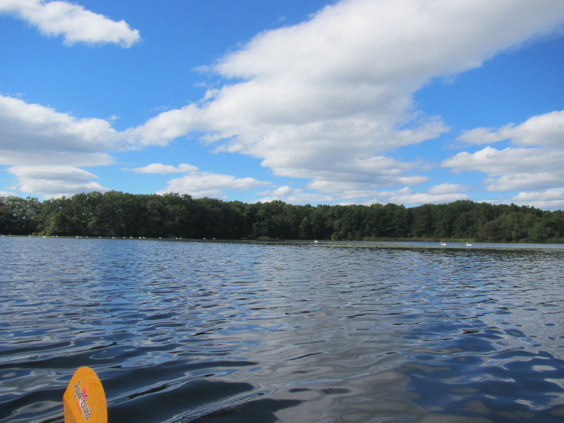
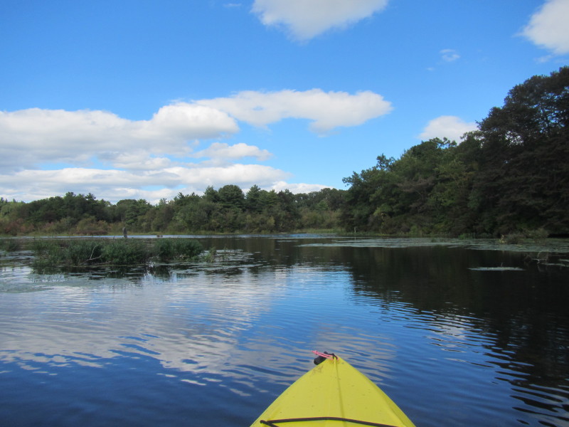
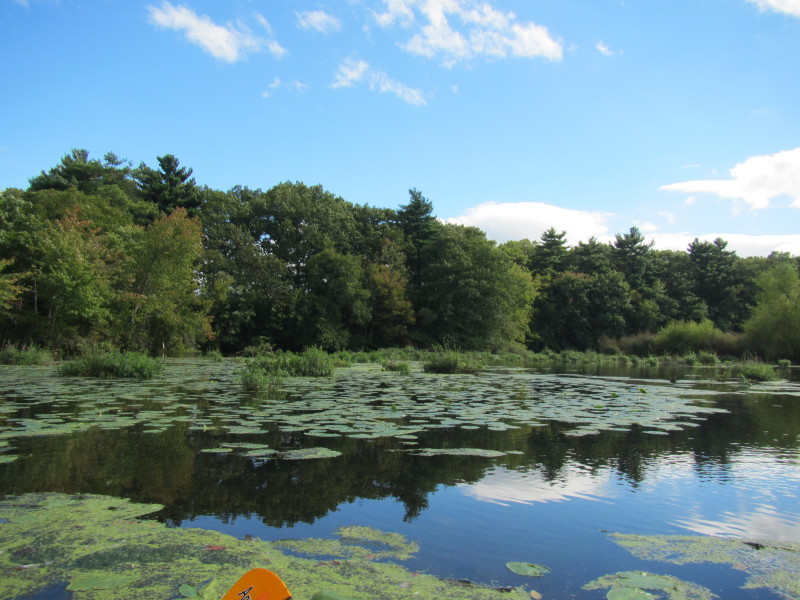
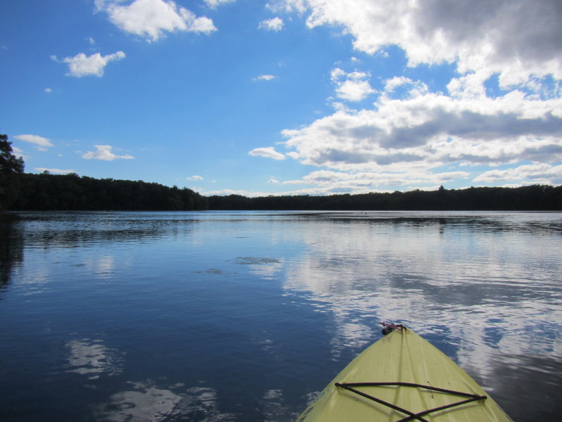
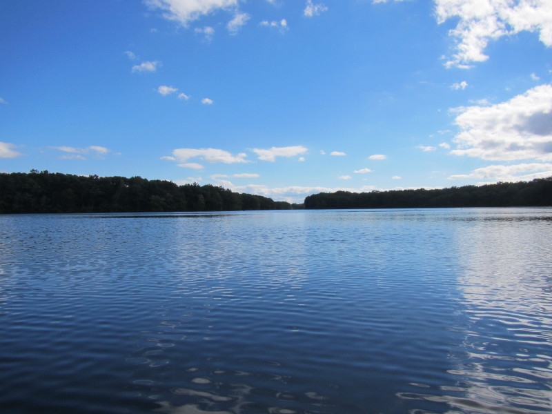
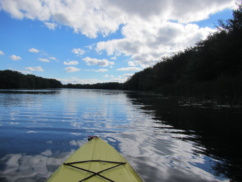
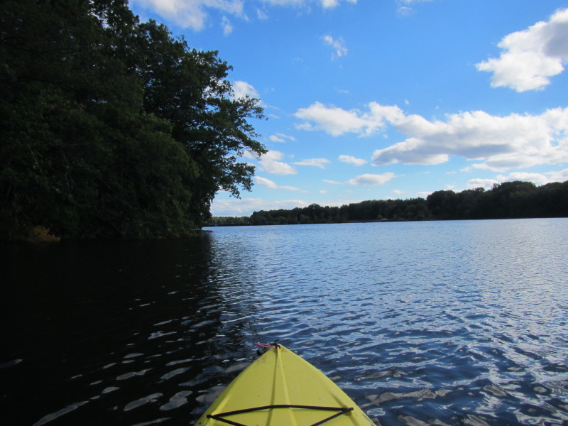
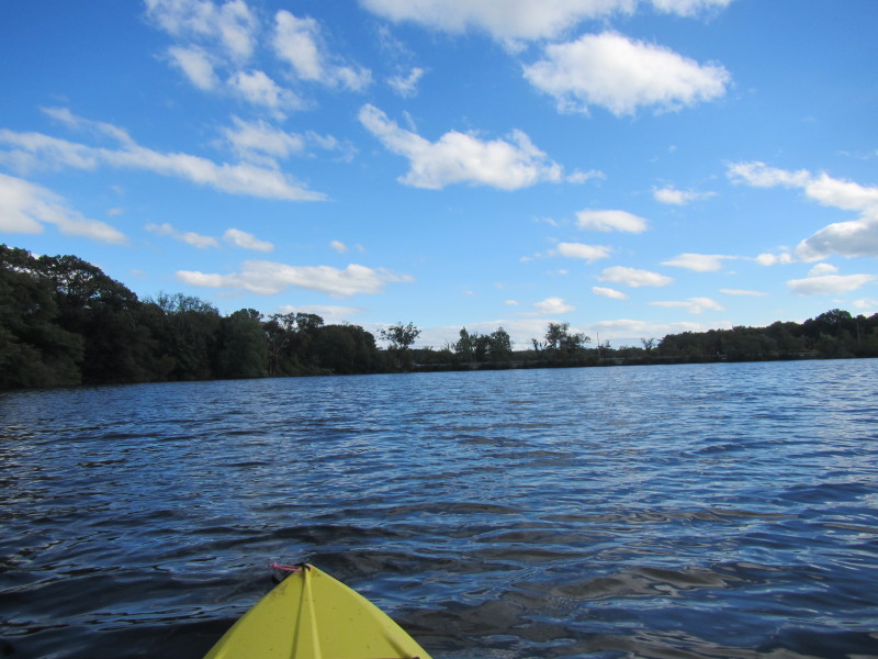
 After the bend, the length of Central Pond in full view.
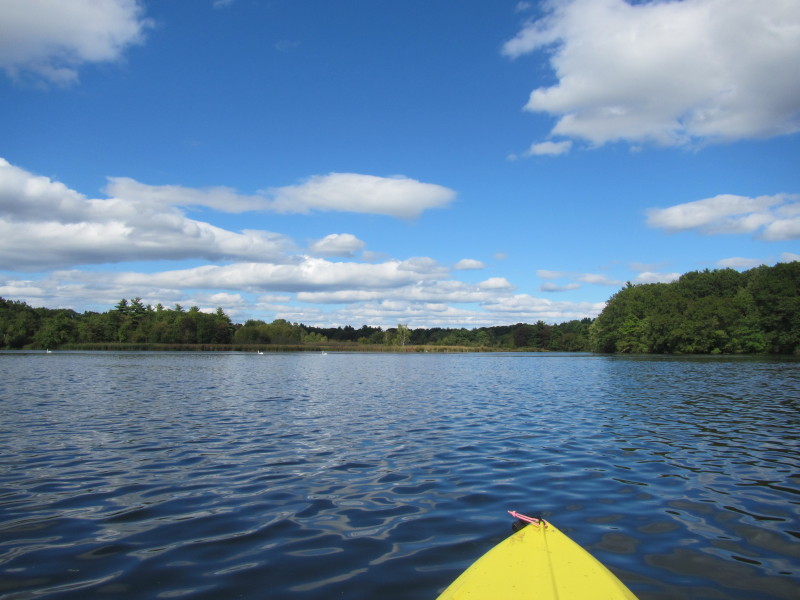
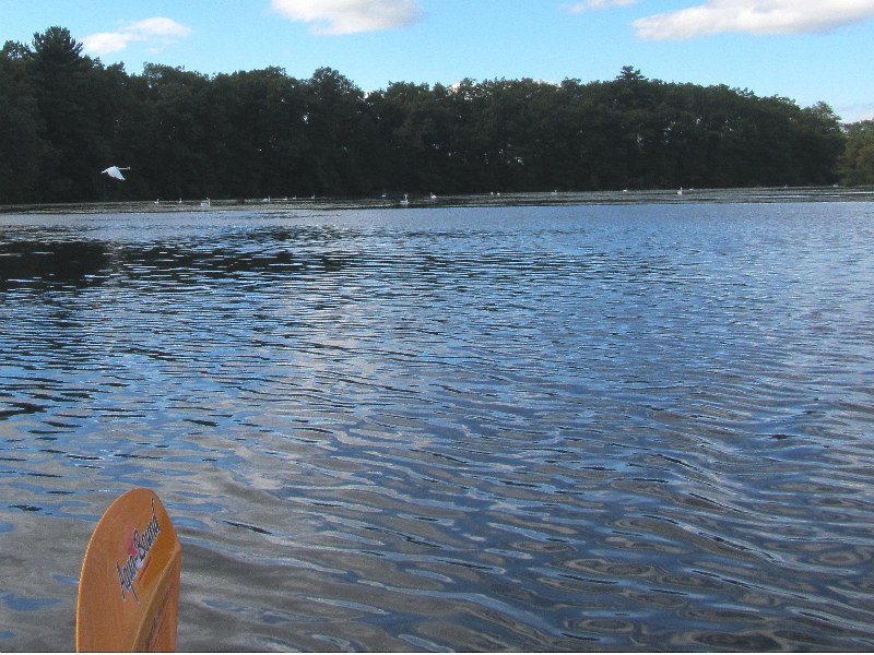
 Those white dots are wild swans.
 The swans are clustering to my left on the west side of the pond.
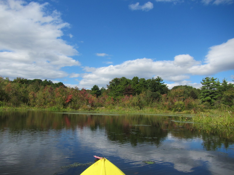
 Somewhere here is the Ten Mile River inlet.
 I initially veered right from here.
Found out later that on the left is the Ten Mile River already in front of me. 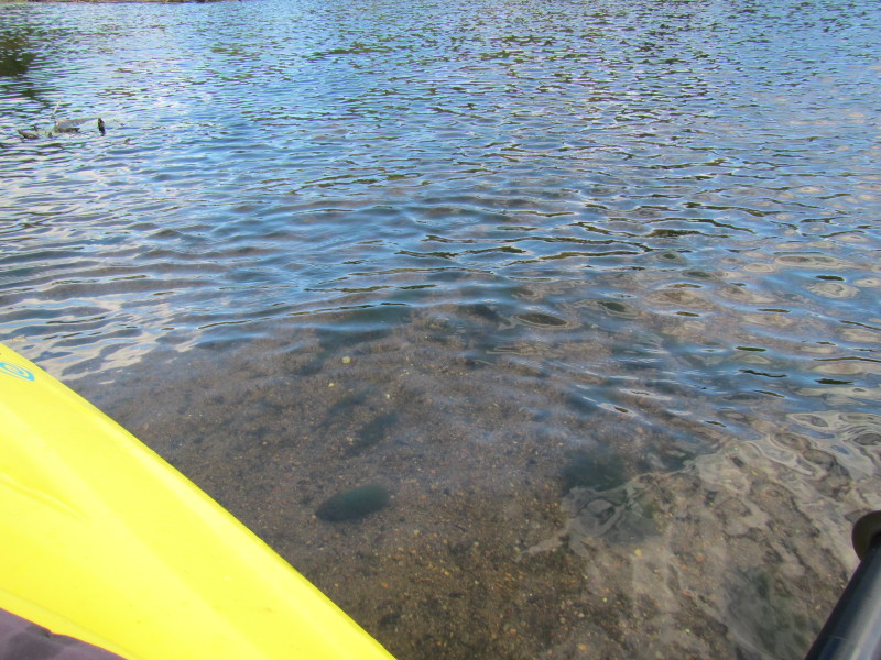 Shallow part of the pond on the north end.
 I veered of westward looking for the Ten Mile River inlet.
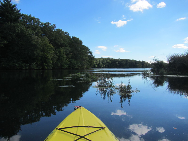
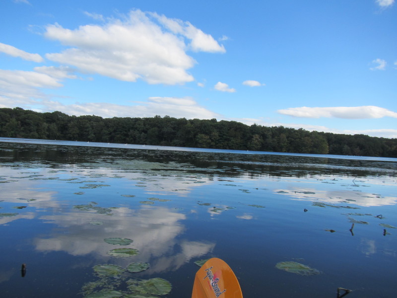
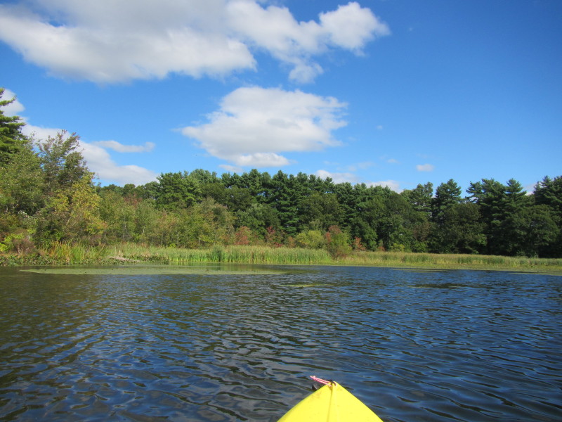 All these mini-coves are dead ends.
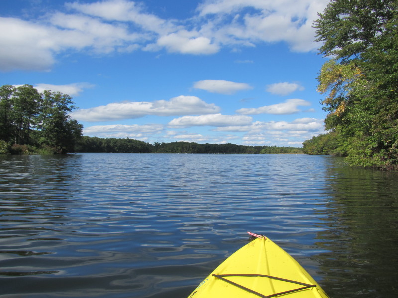
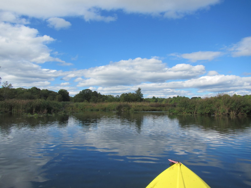
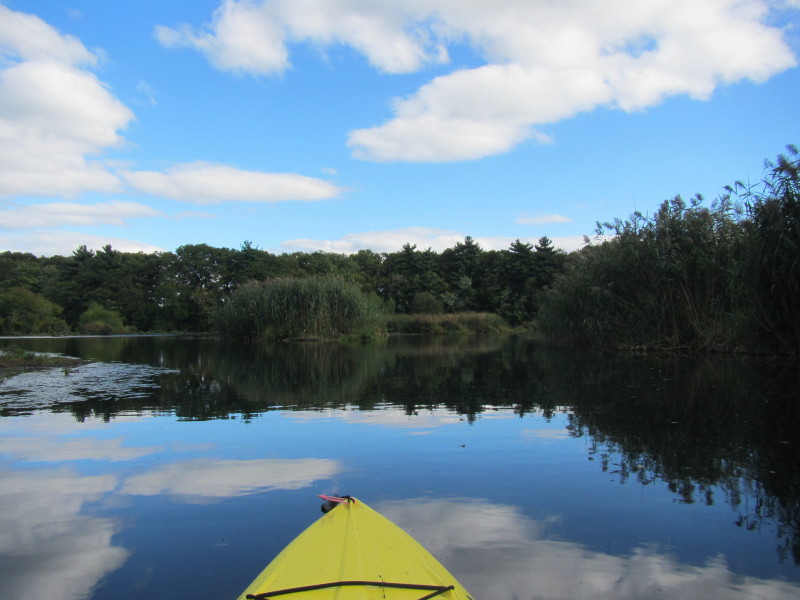
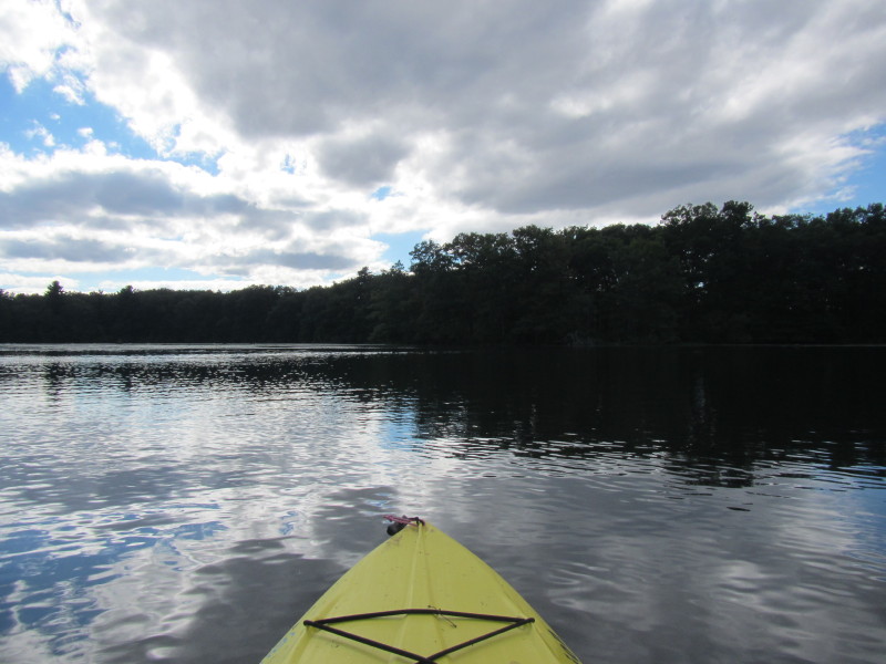
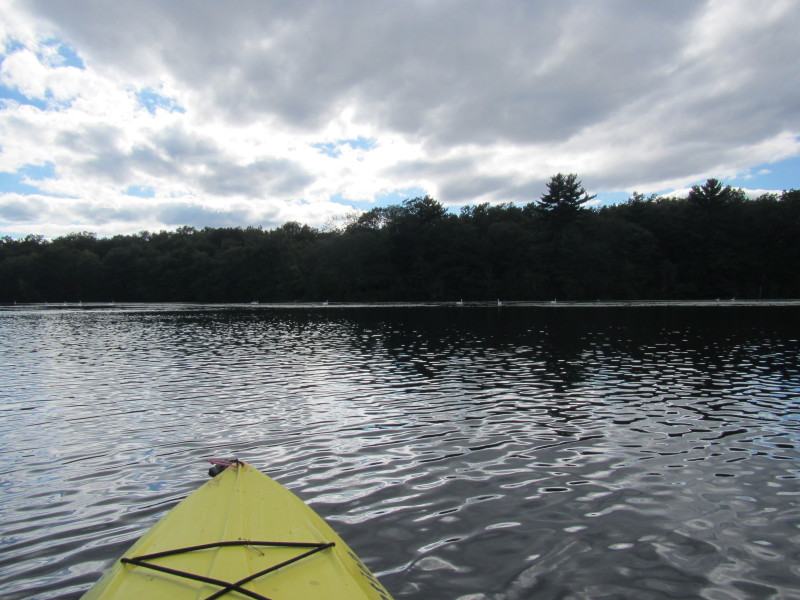
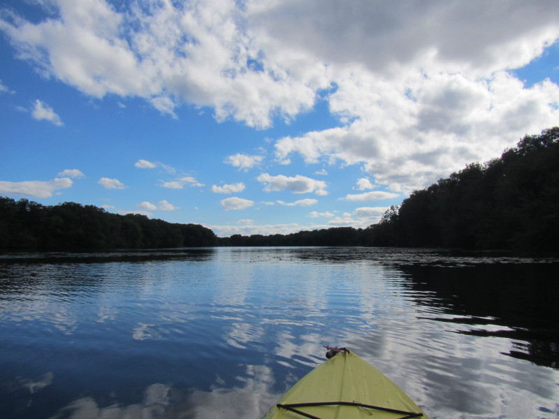
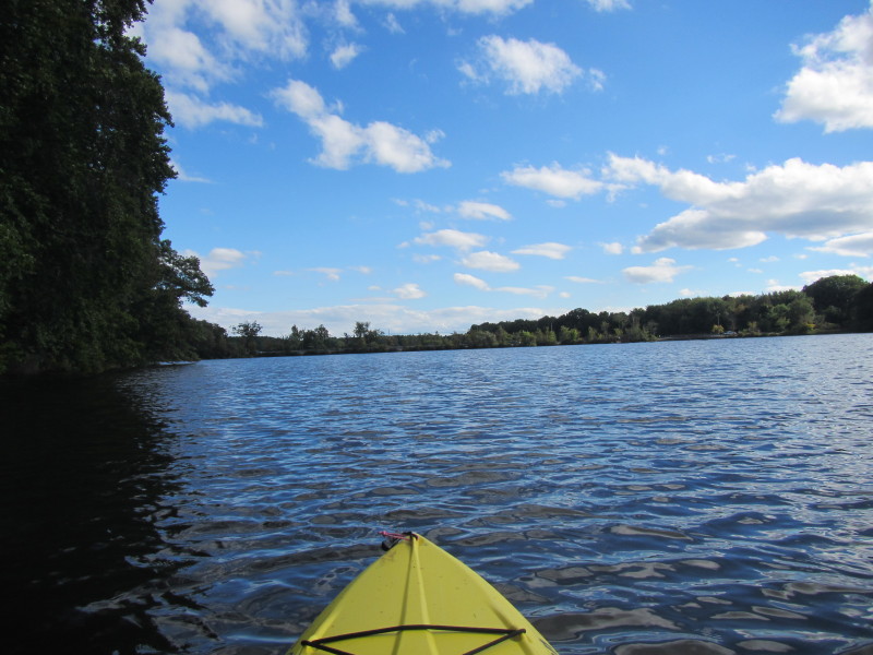
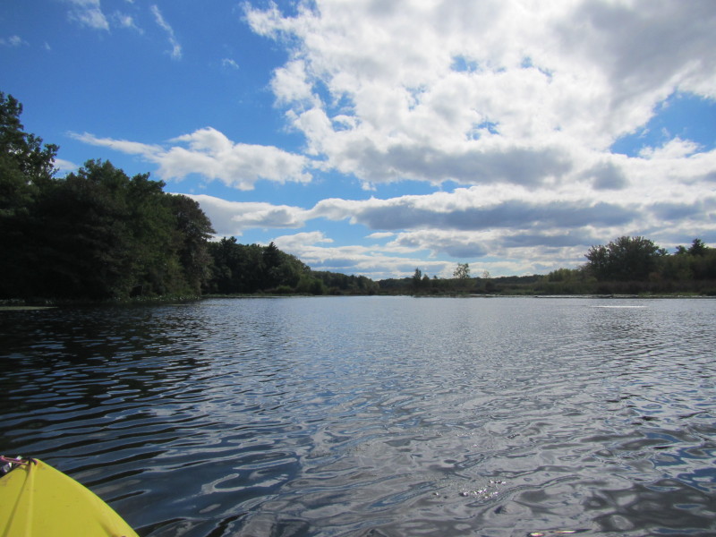 Looking south from the north end of Central Pond.
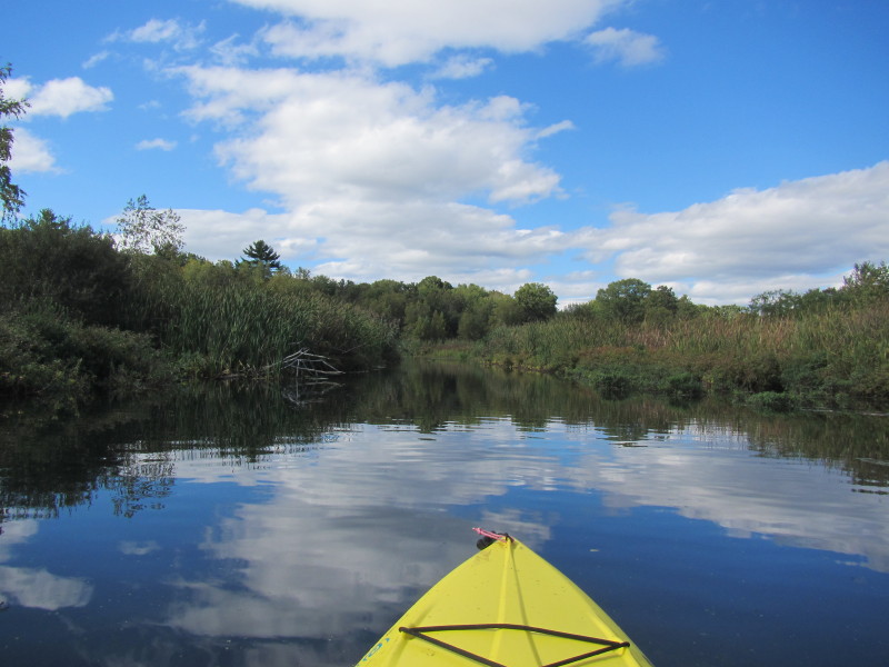
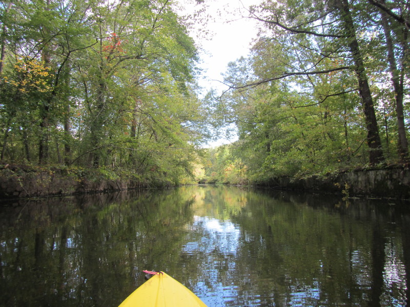
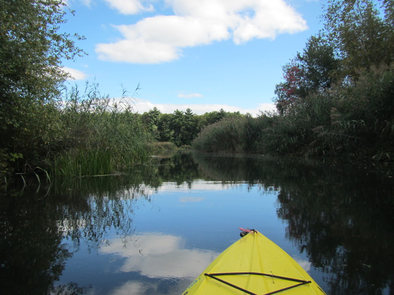
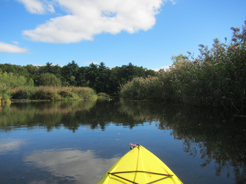
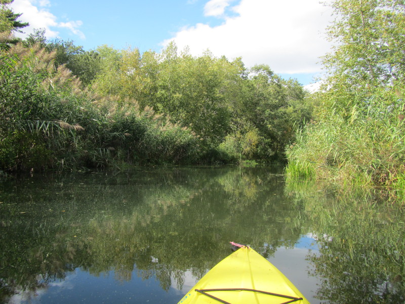 Now I am right on track. This is the Ten Mile River inlet.
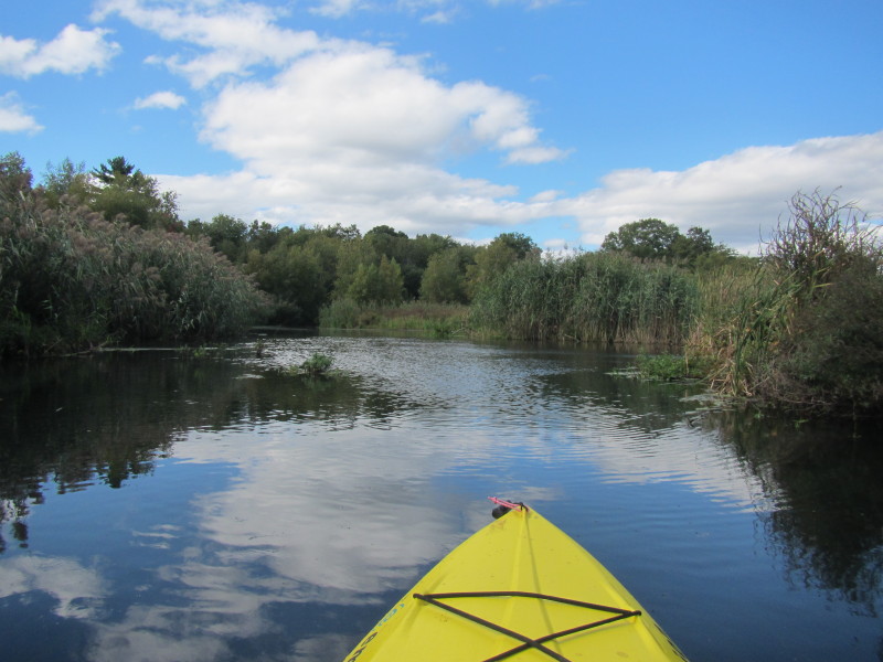
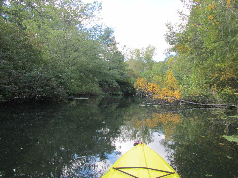
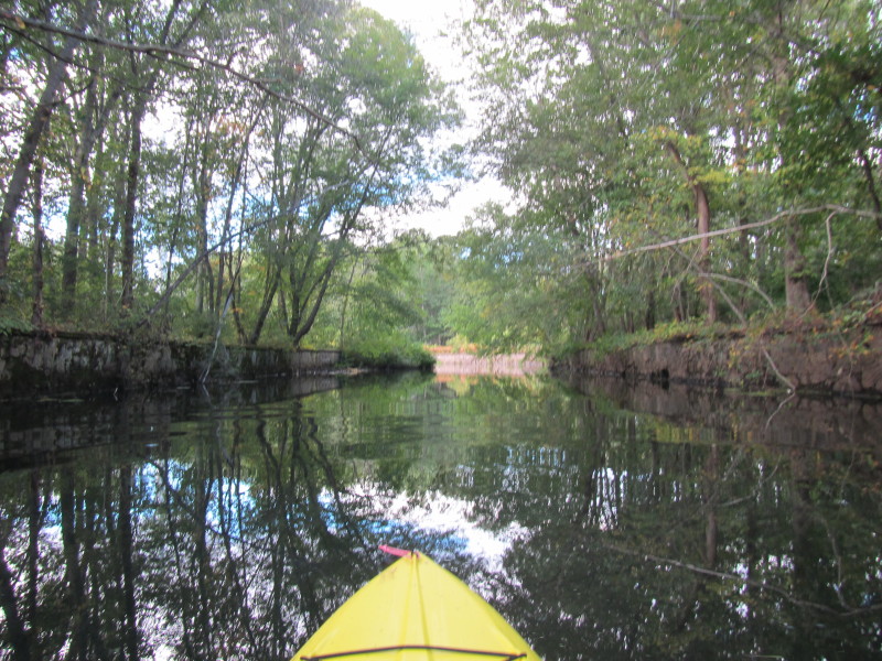
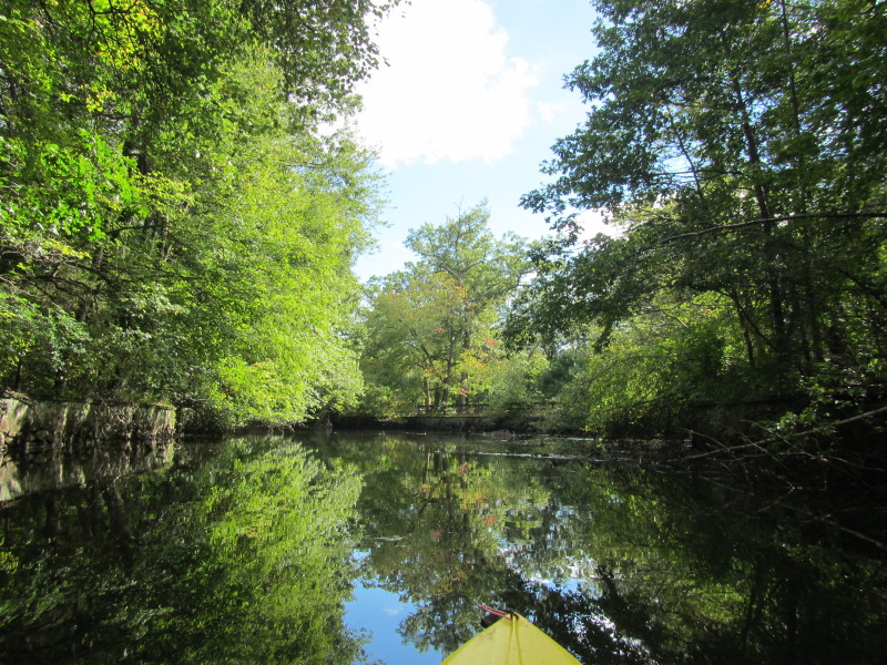
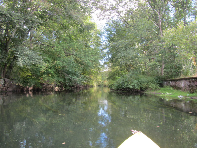
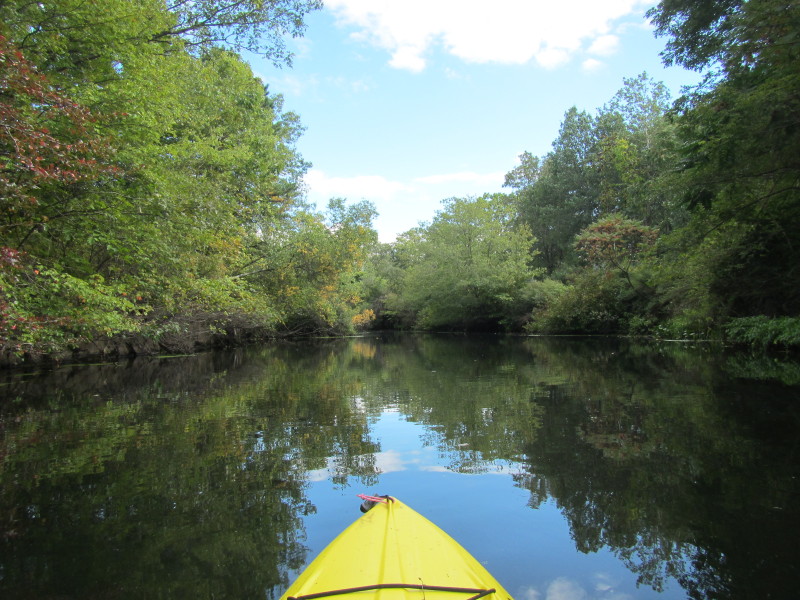
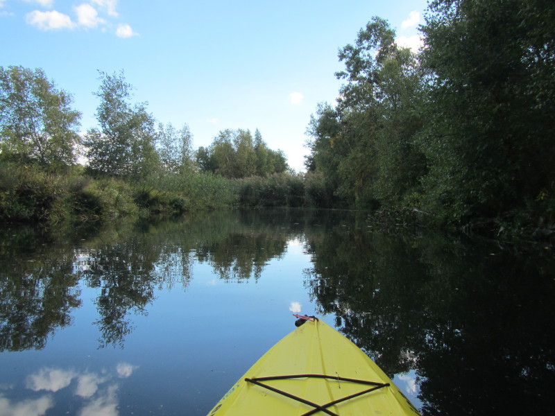
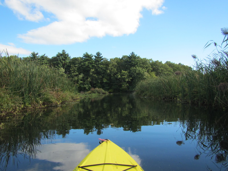
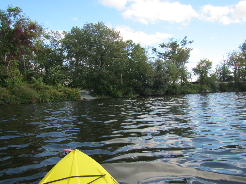
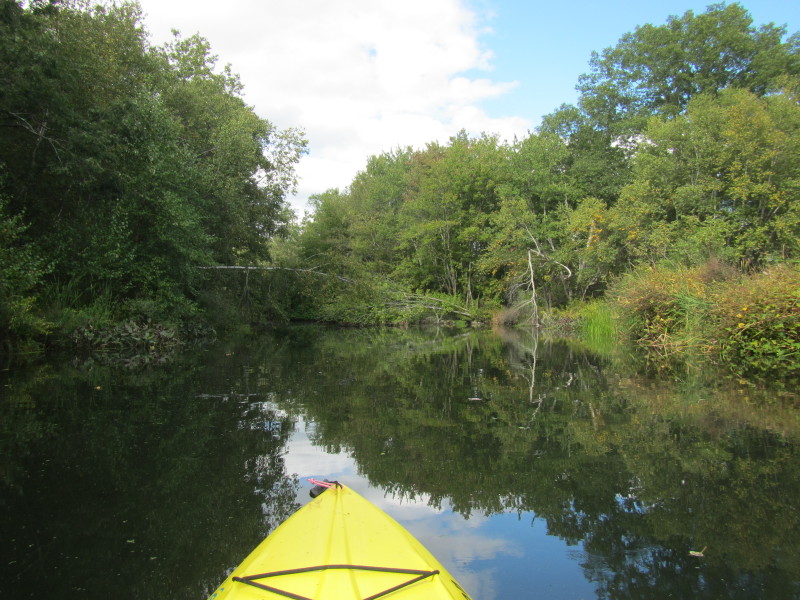 This is now river-like and looks promising paddle-wise.
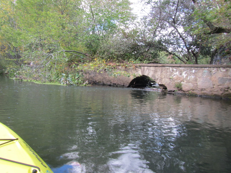
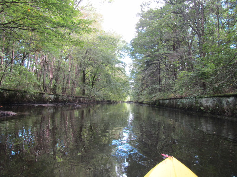
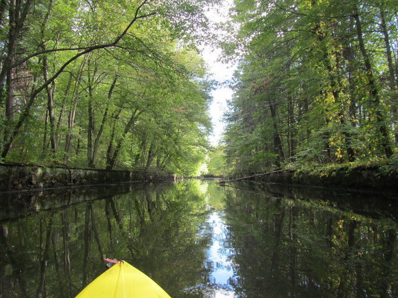
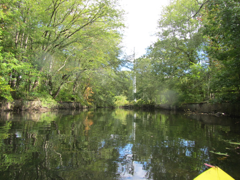
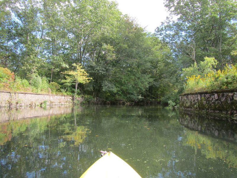
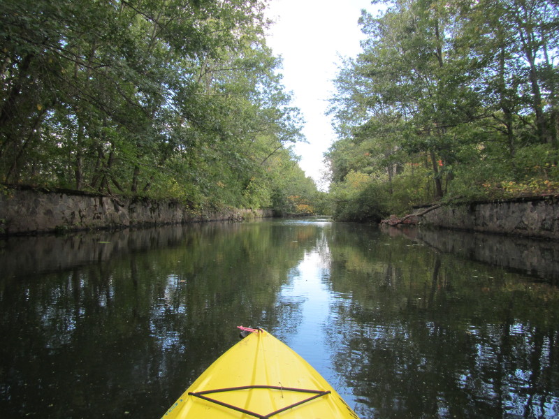
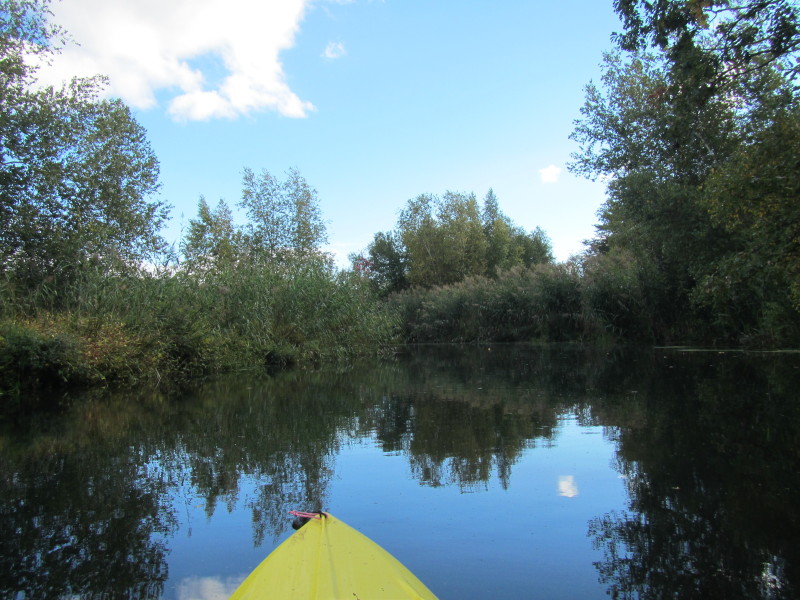
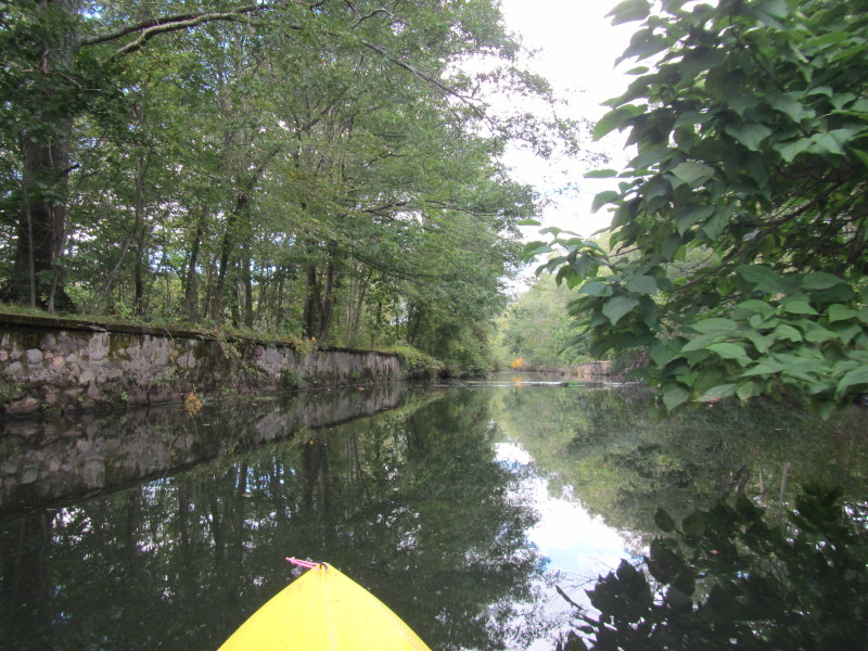 The river sides have walls.
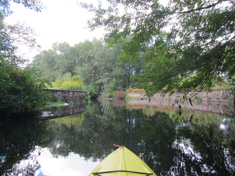
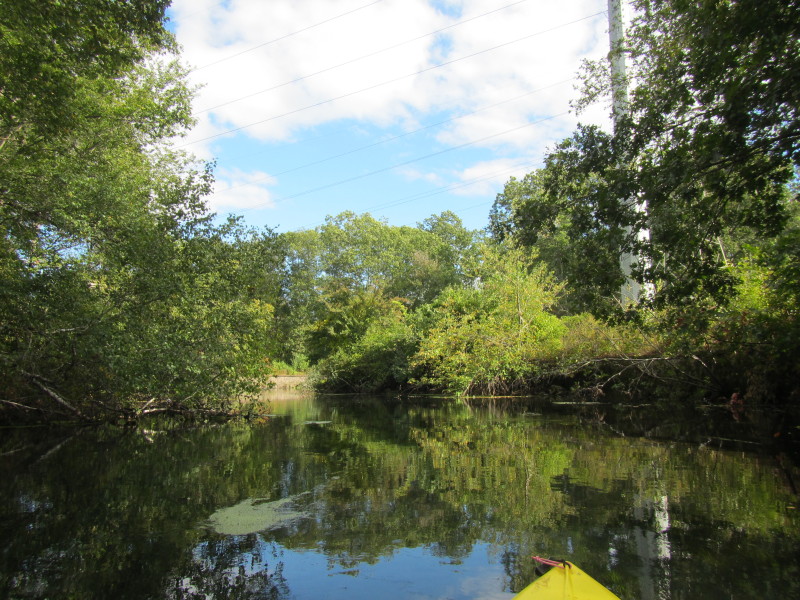
To my left is the start of the Slater Park Memorial. 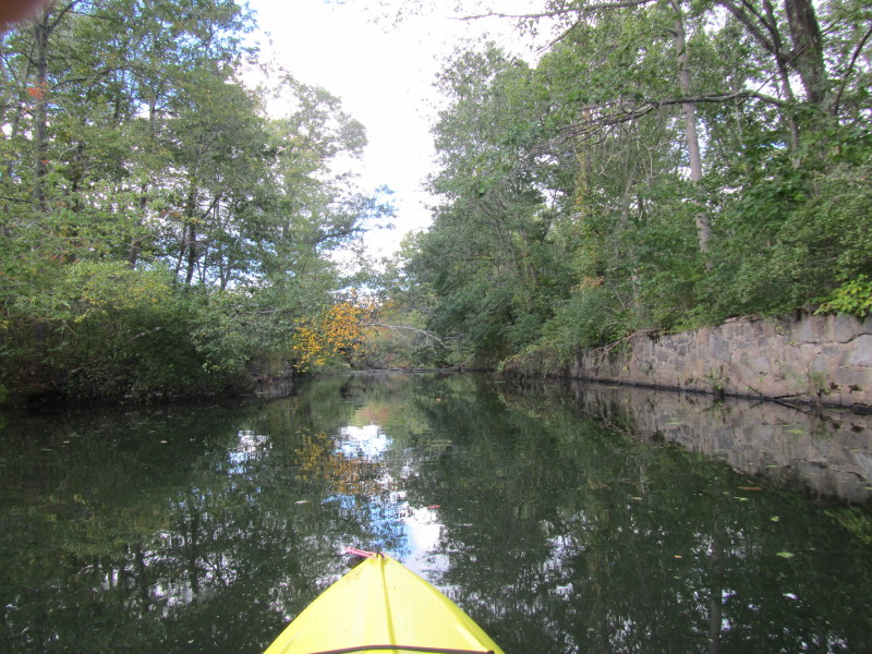
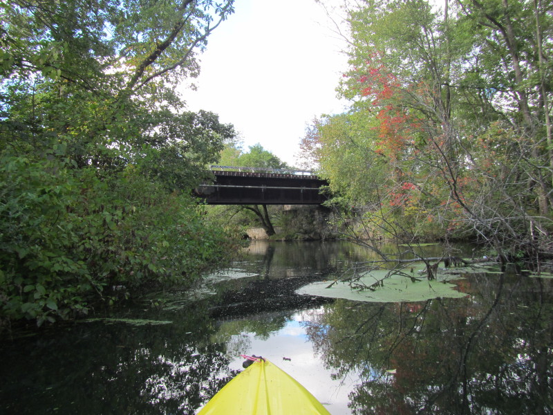
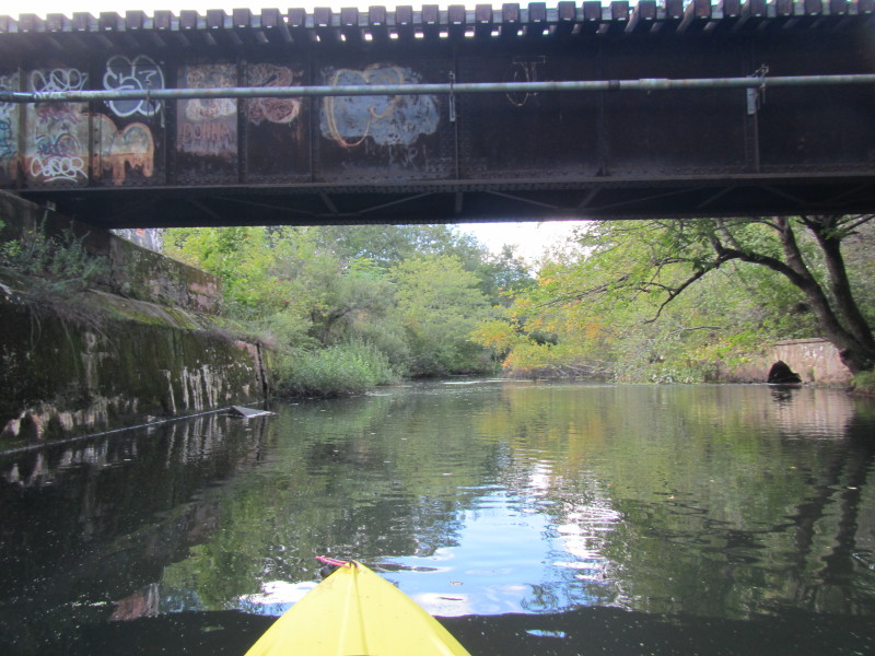
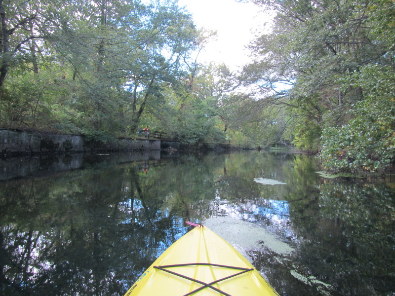
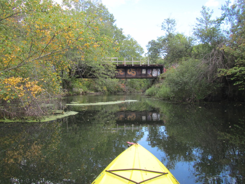
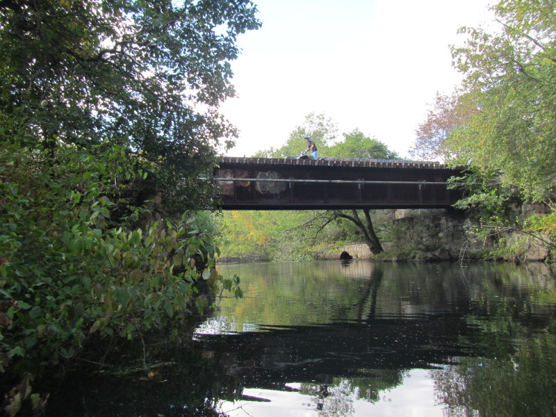 Kids on cross-country bikes using this old rail bridge over the Ten Mile River.
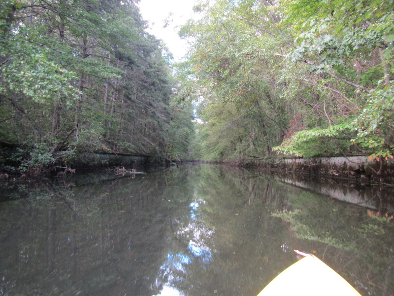
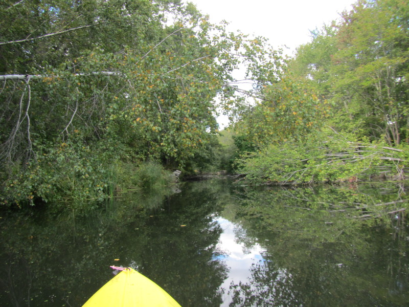
 I have paddled upriver as far as navigable on the Ten Mile River
and is now stuck on shallows.
I have paddled upriver as far as navigable on the Ten Mile River
and is now stuck on shallows.
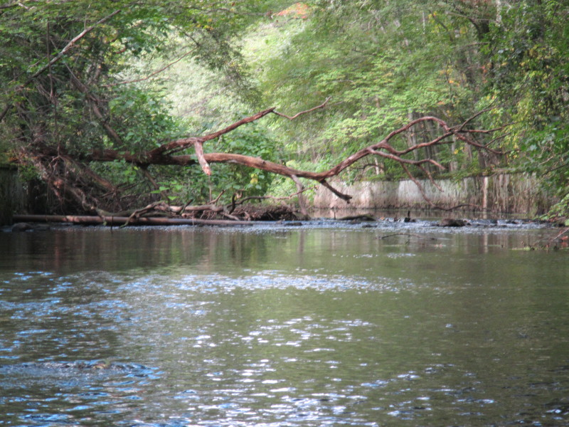 Just a few feet in front of me is this rocky and shallow part.
Decided to turn around at this point. 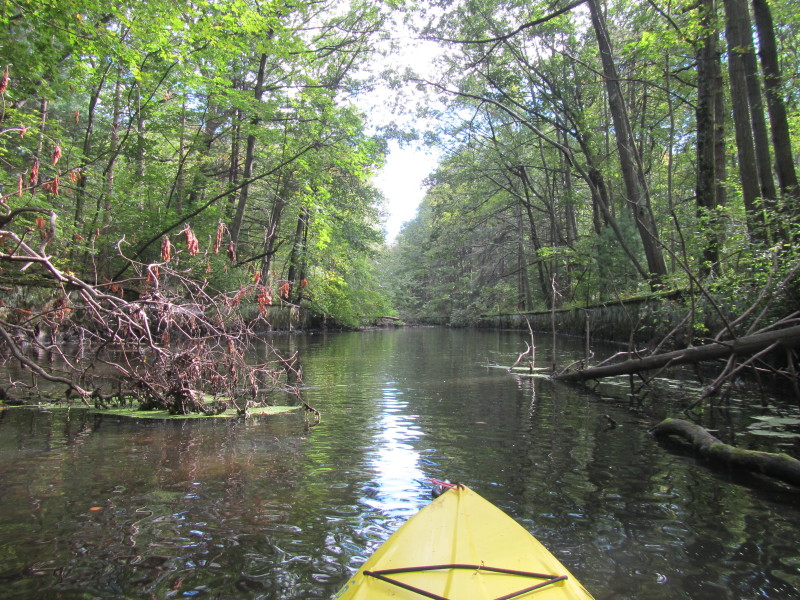 Now paddling back downriver with the flow on the Ten Mile River.
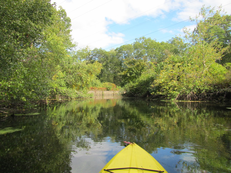
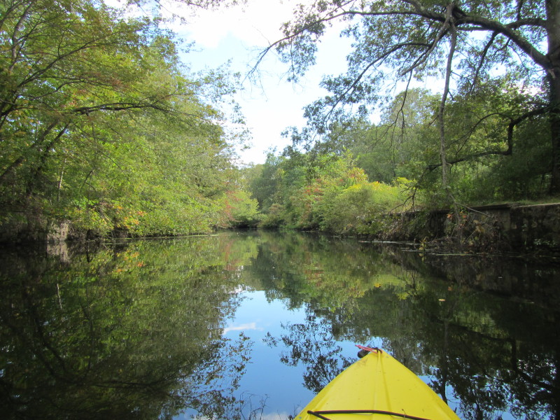
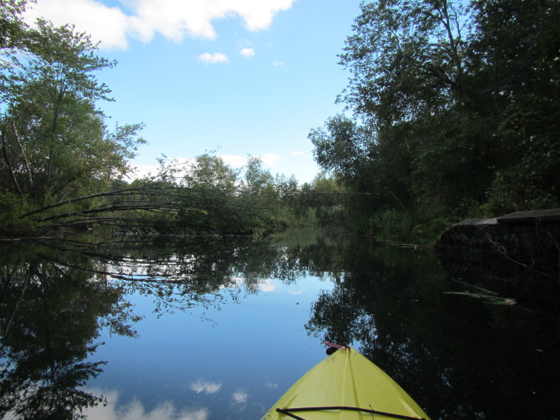
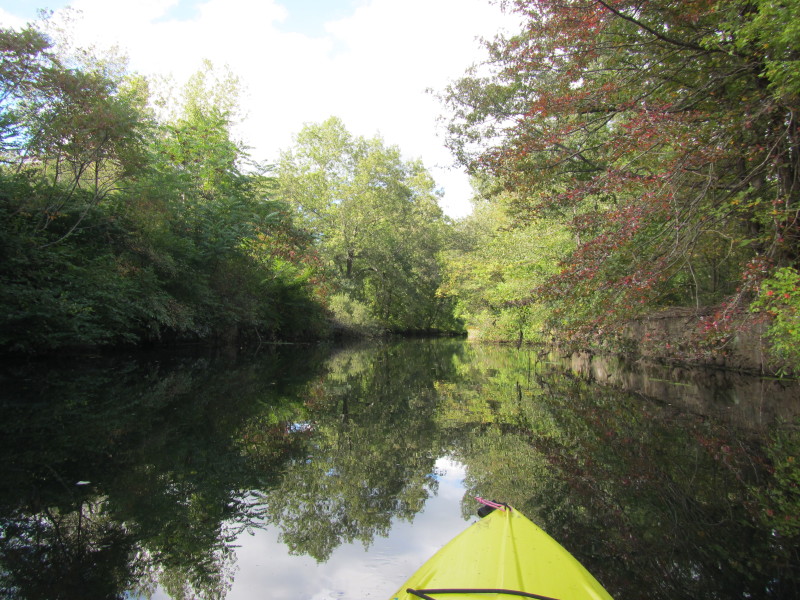
 This bend to the left should lead me back to Central Pond.
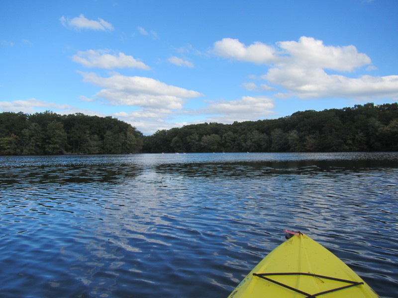
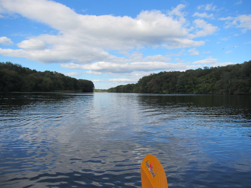
 Facing south on Central Pond.

 Swans a-swooning on Central Pond.

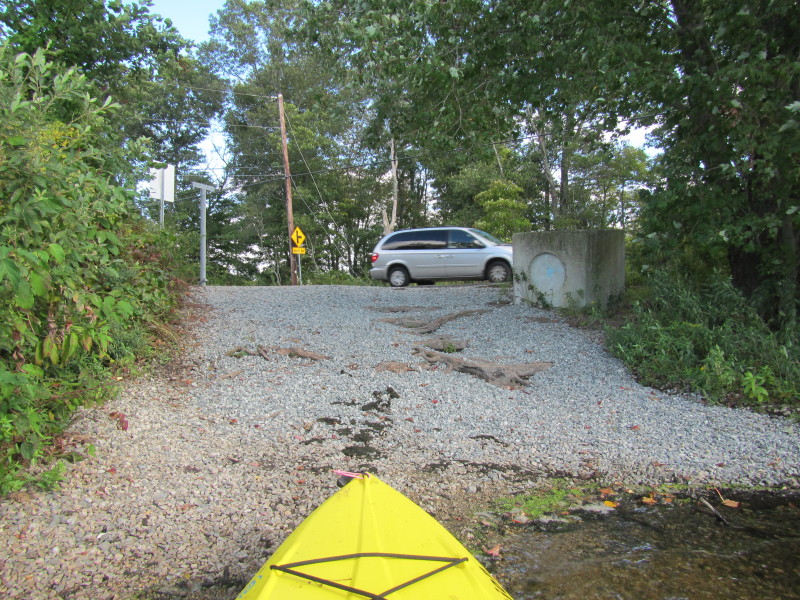 Landed. I was on the water for exactly 1 hour and 40 minutes.
|