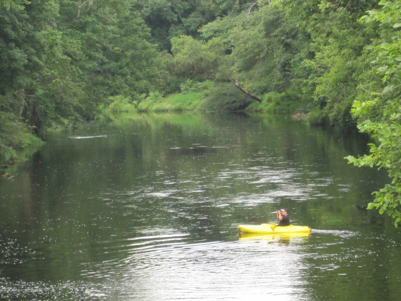
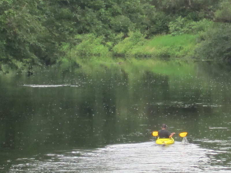
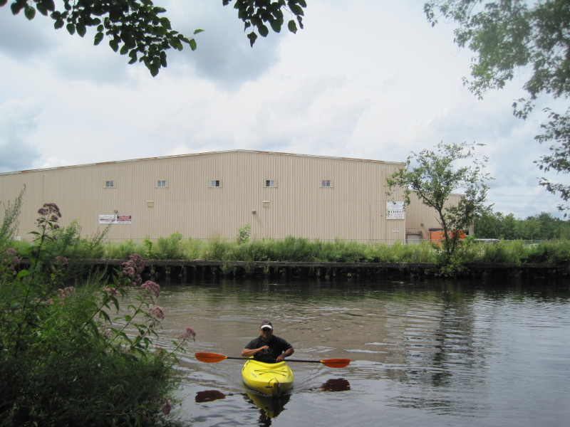
 Kayaker

|


|
Download printer-friendly
PDF version that fits in one page: |

|
|
Other resources:
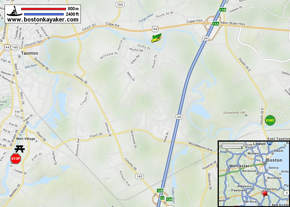
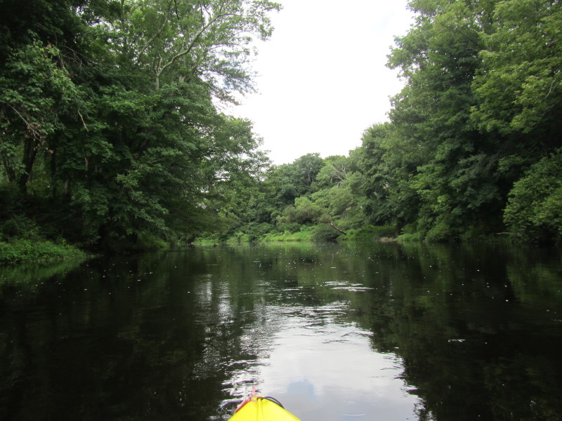
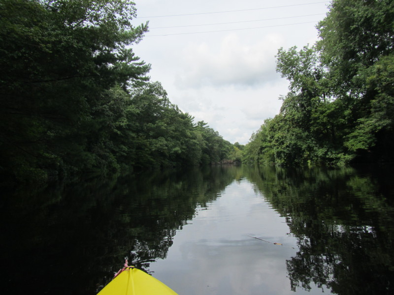
Explore RI's Blueways and Greenways: South Street East Bridge River Access Explore RI's Blueways and Greenways: Weir Village Riverfront Park Nemasket Kayak Center Taunton River Watershed Alliance Taunton River Watershed Map Taunton River Watershed Map (cached copy) Tides.Info: Taunton River Tides Wikipedia: Taunton River All photos in this website are original and copyrighted. 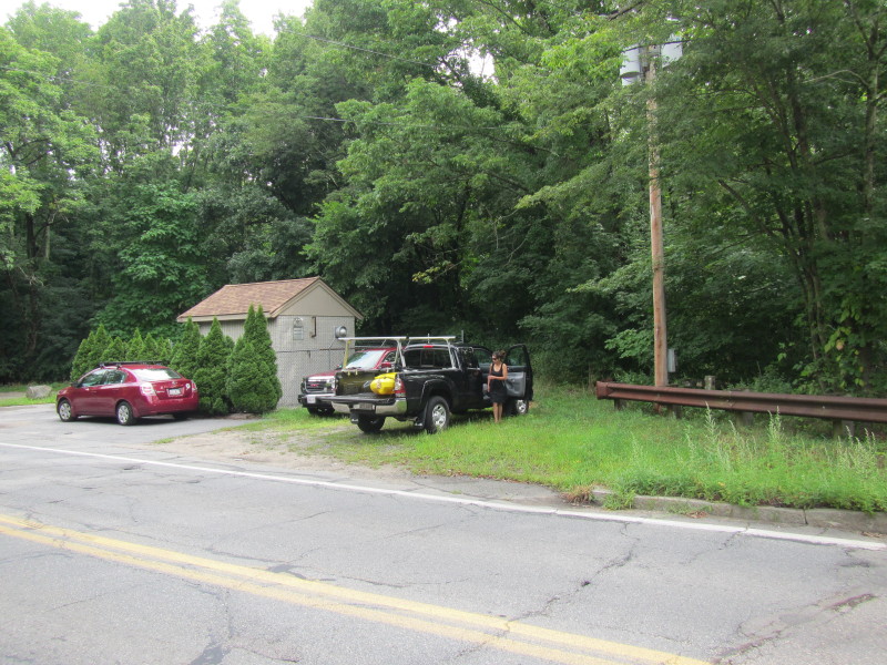 At the South Street in Taunton MA to launch on Taunton River.
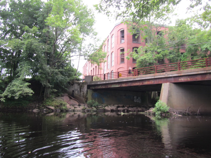
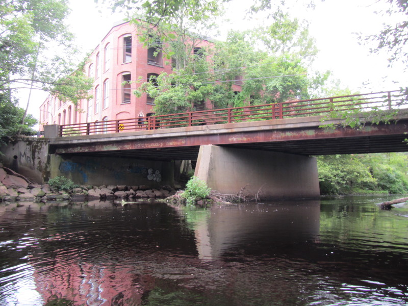
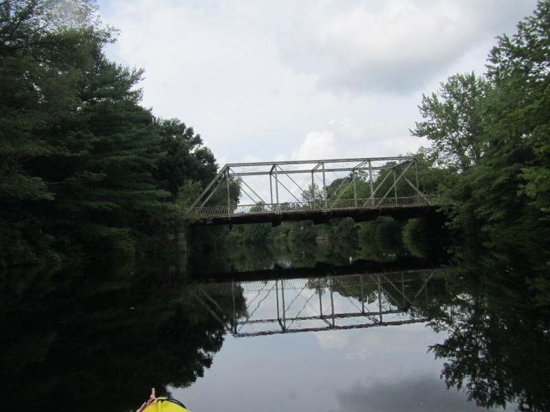
Trip date August 2012. 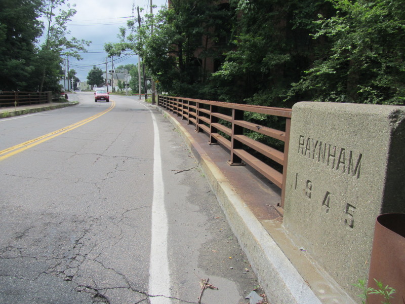 South Street Bridge.
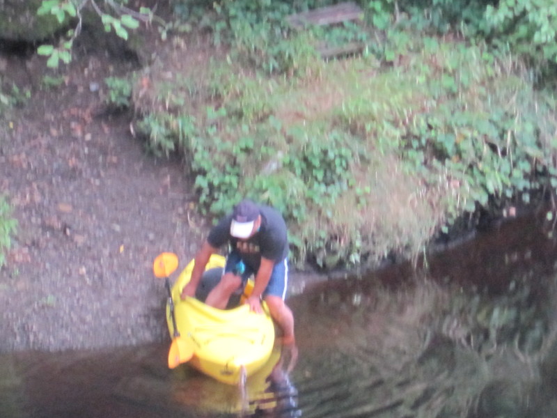
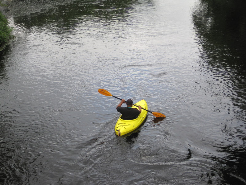
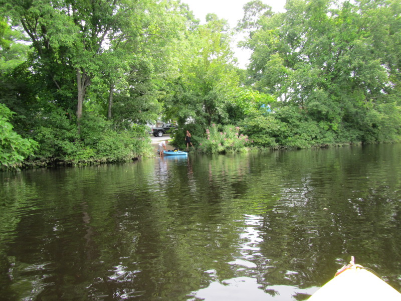
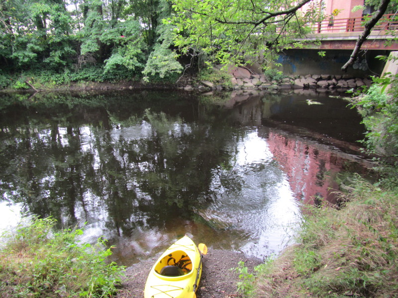 The put in into Taunton River on South Street in Taunton MA.
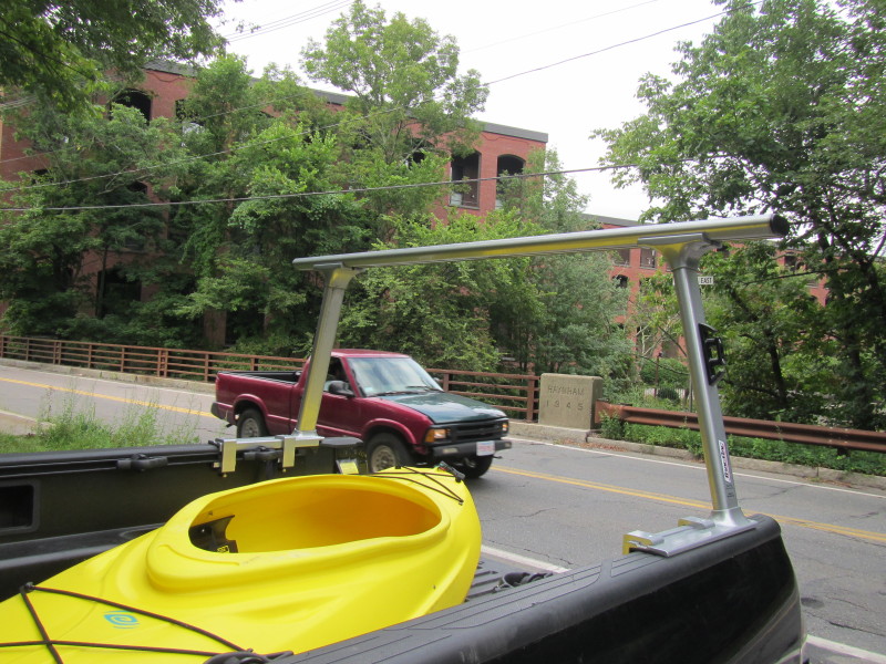
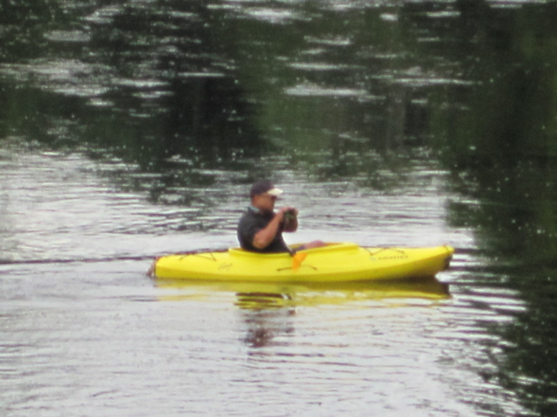
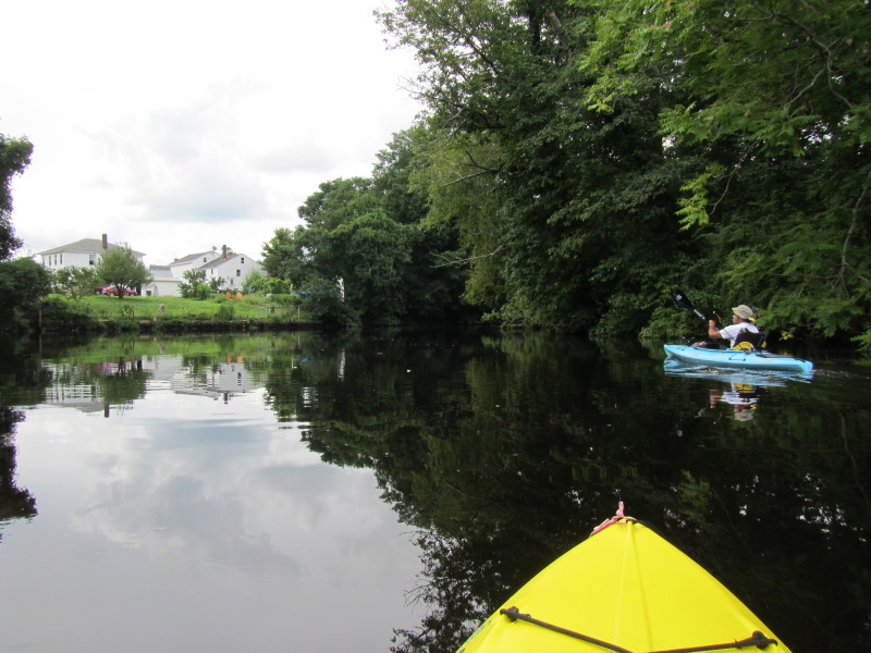
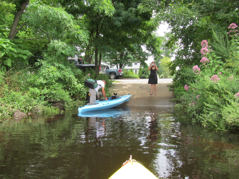
 The Boston Kayaker's wife on the bridge.
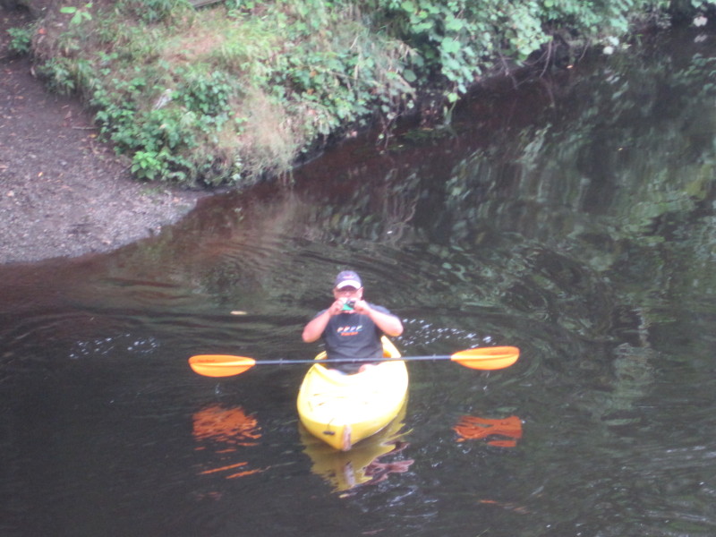
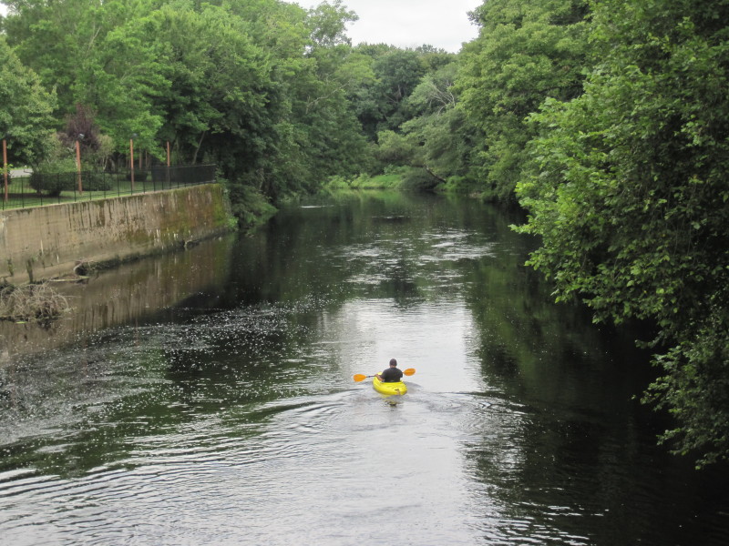
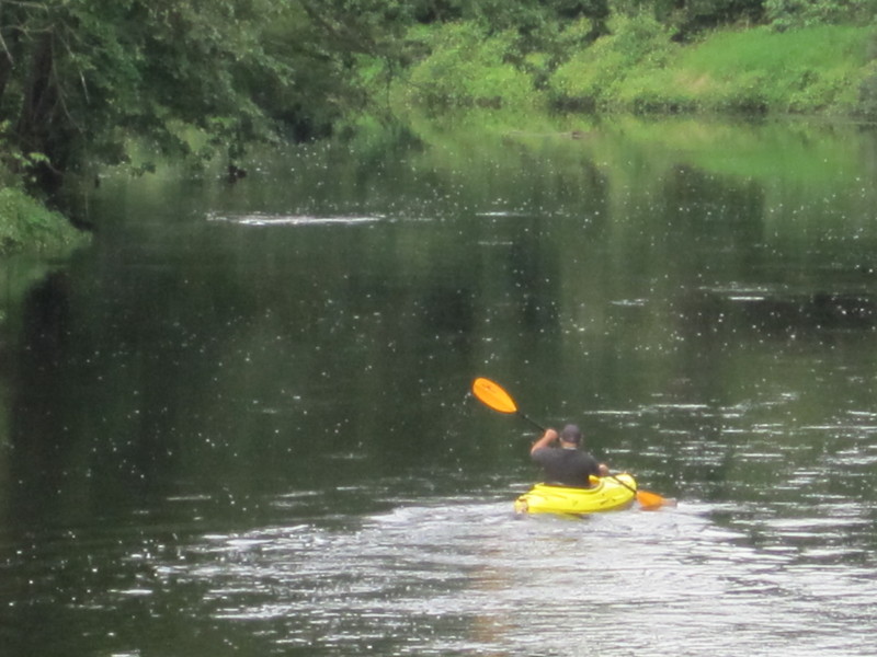
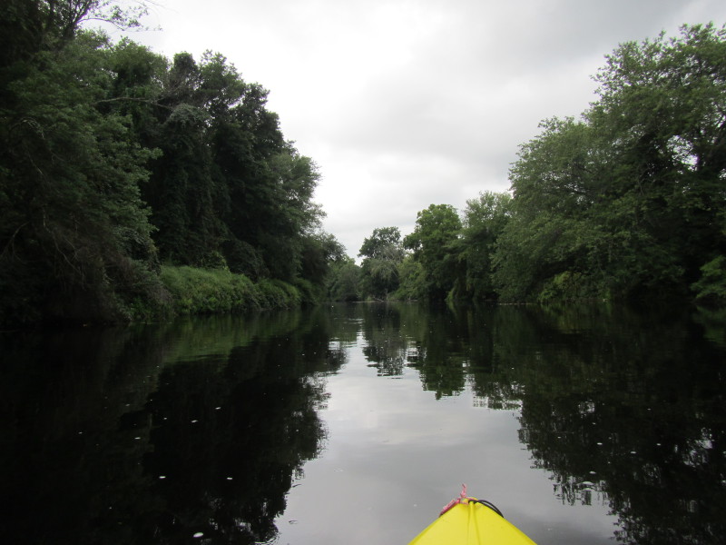
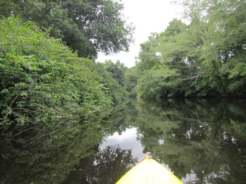
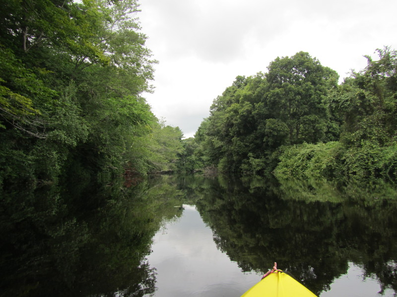
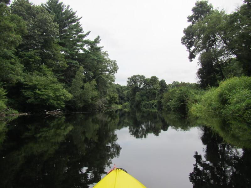
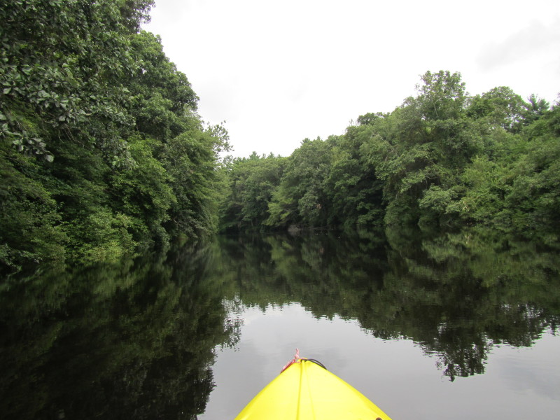
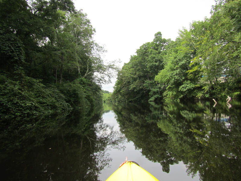
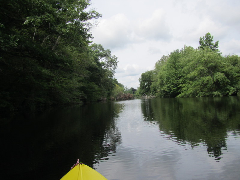
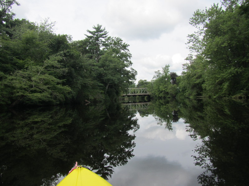
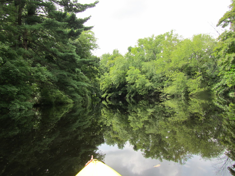
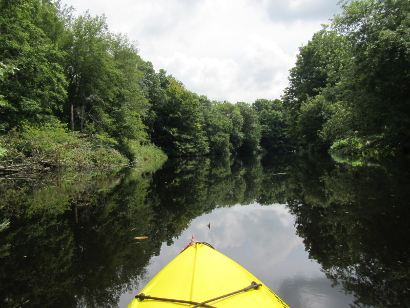
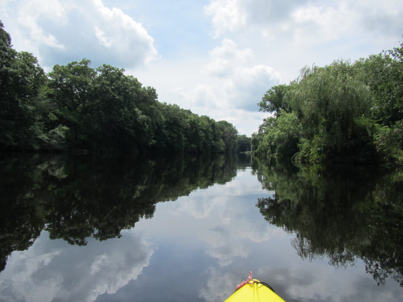
 Just past South Street Bridge.
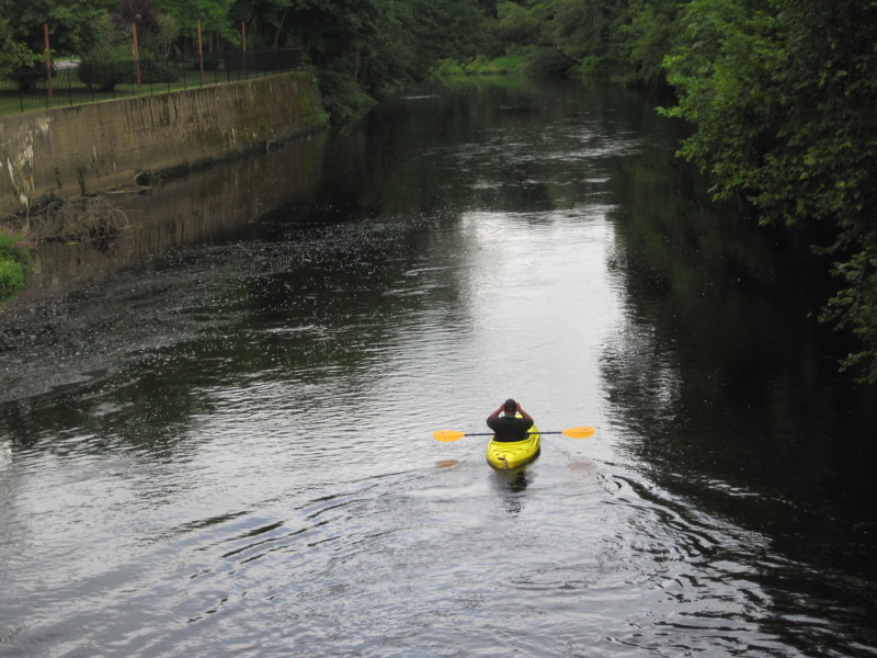
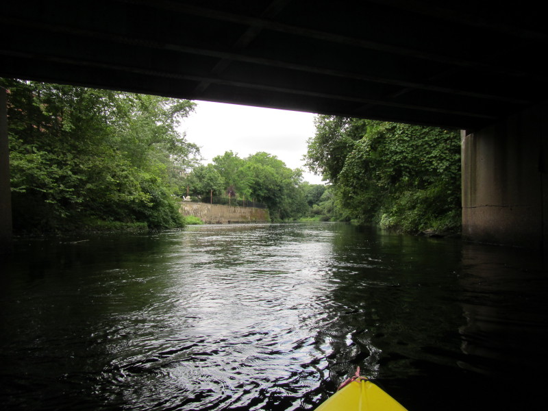
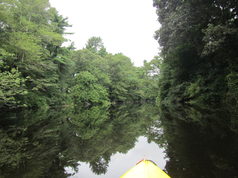
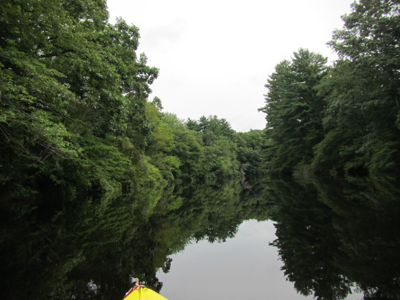
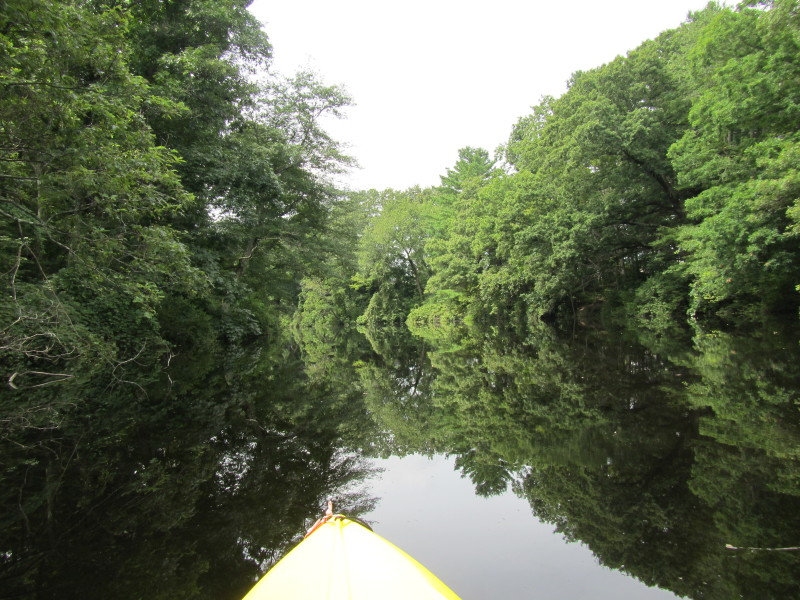
 Looking back at South Street bridge.
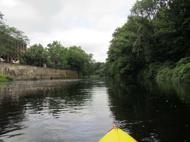
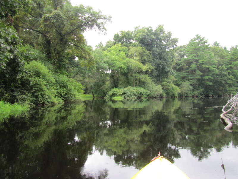
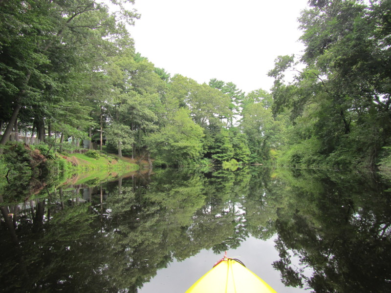
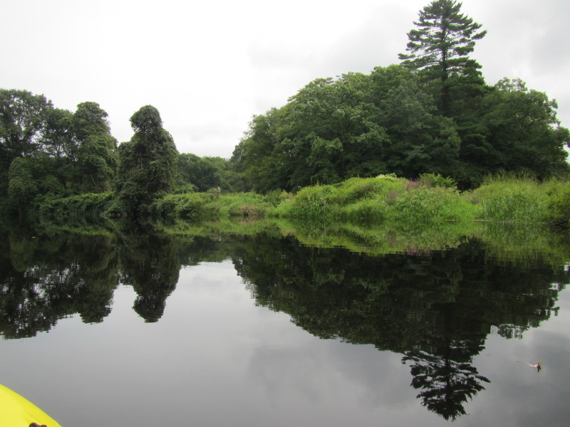
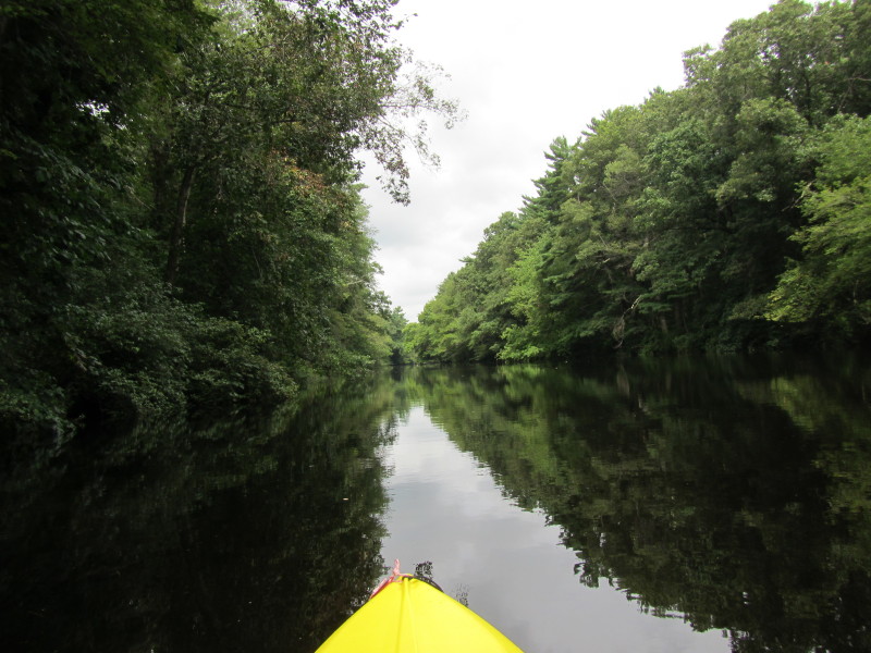
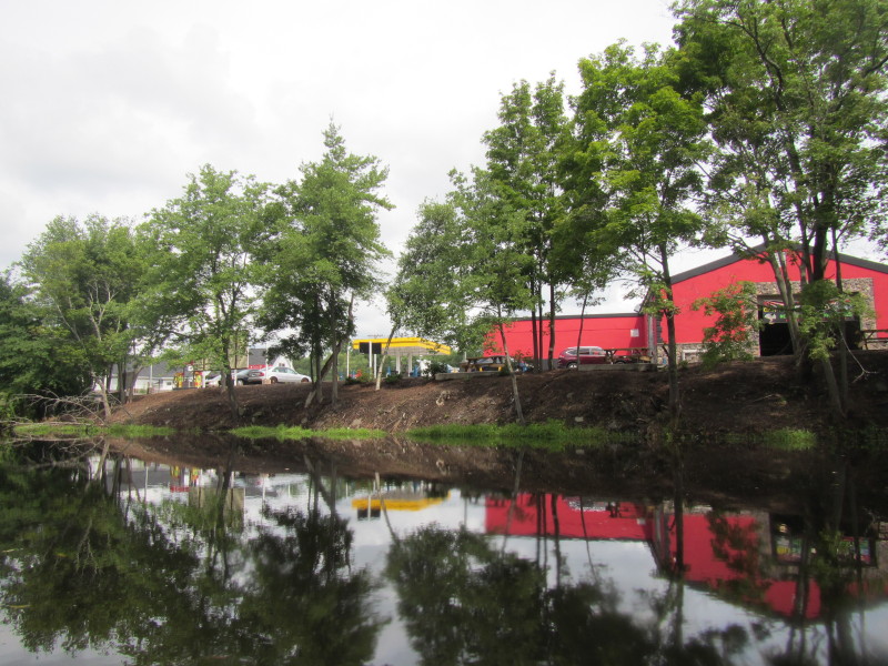
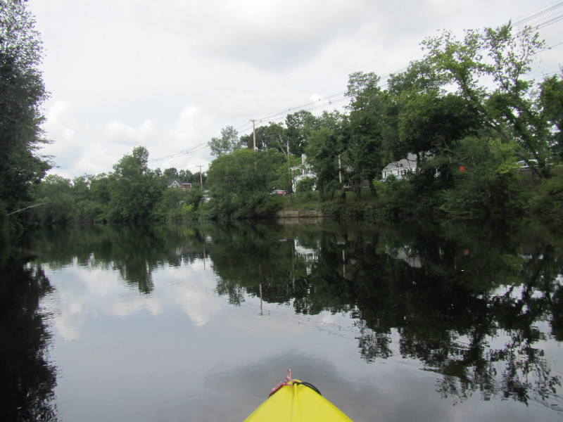
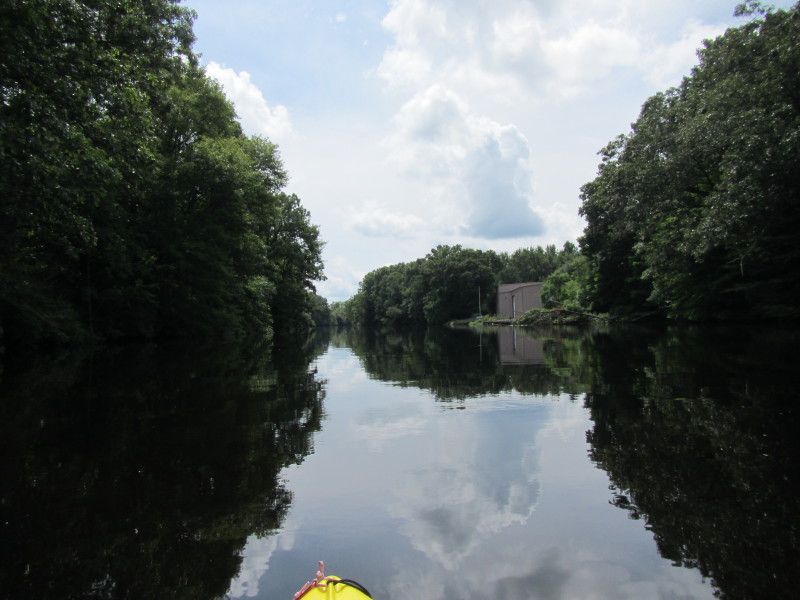
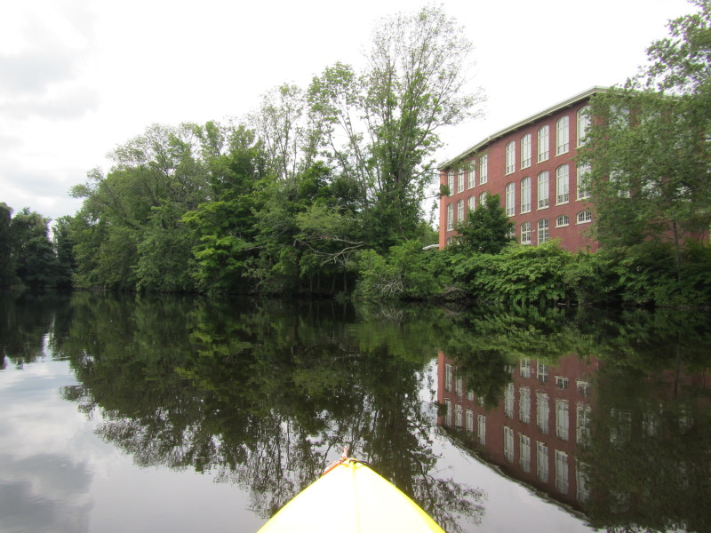
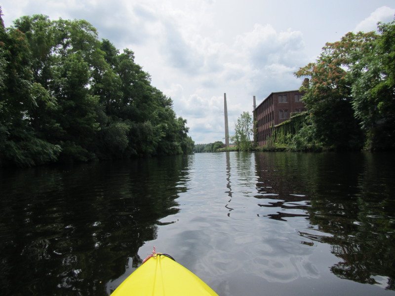
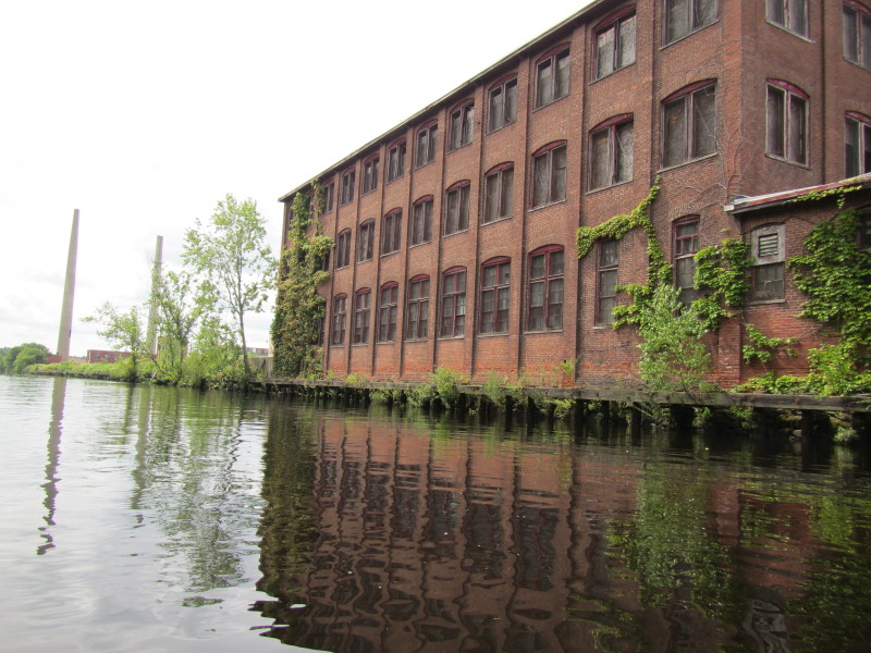
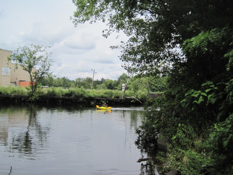
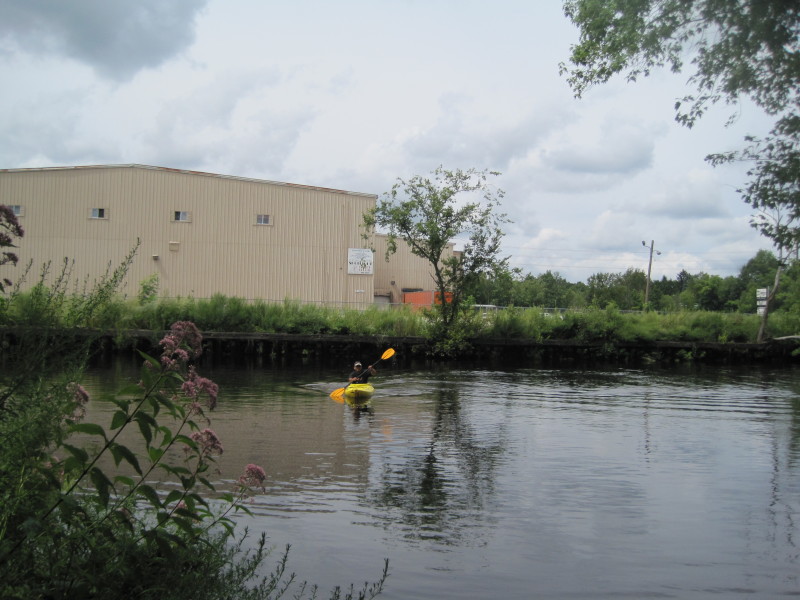
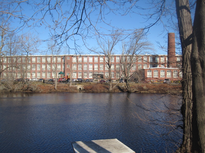
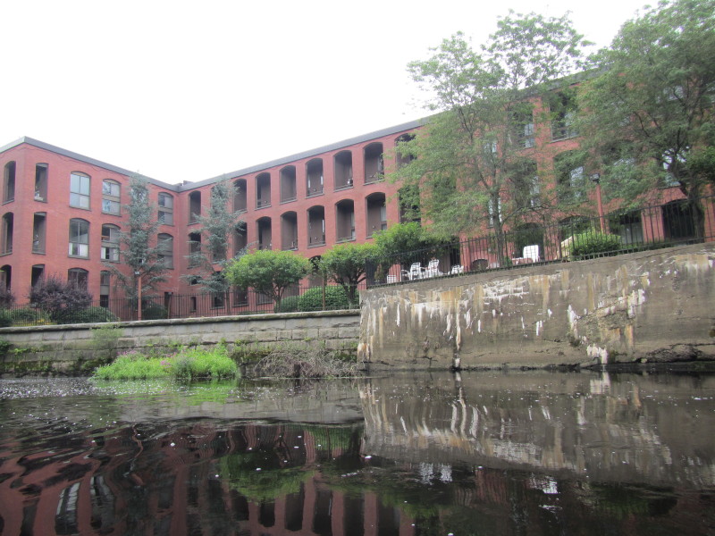 To my left is this bricky building.
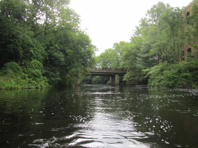
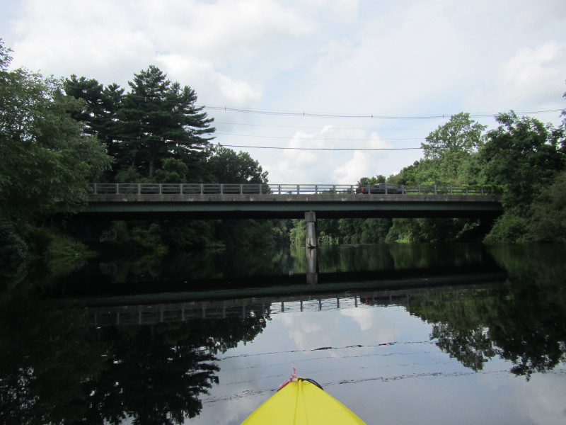
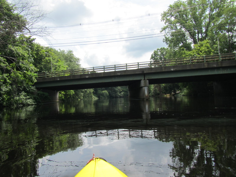
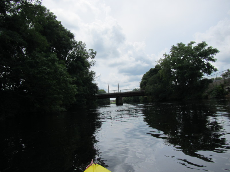
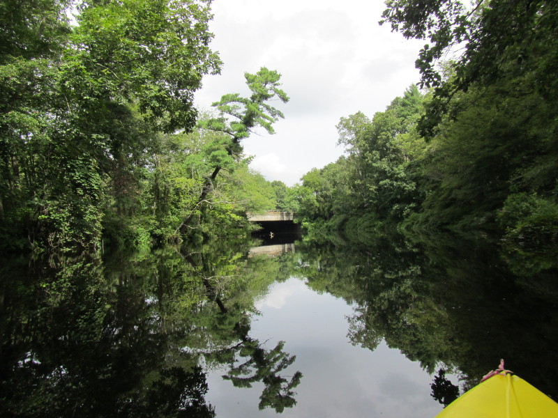 Route 24 bridge.
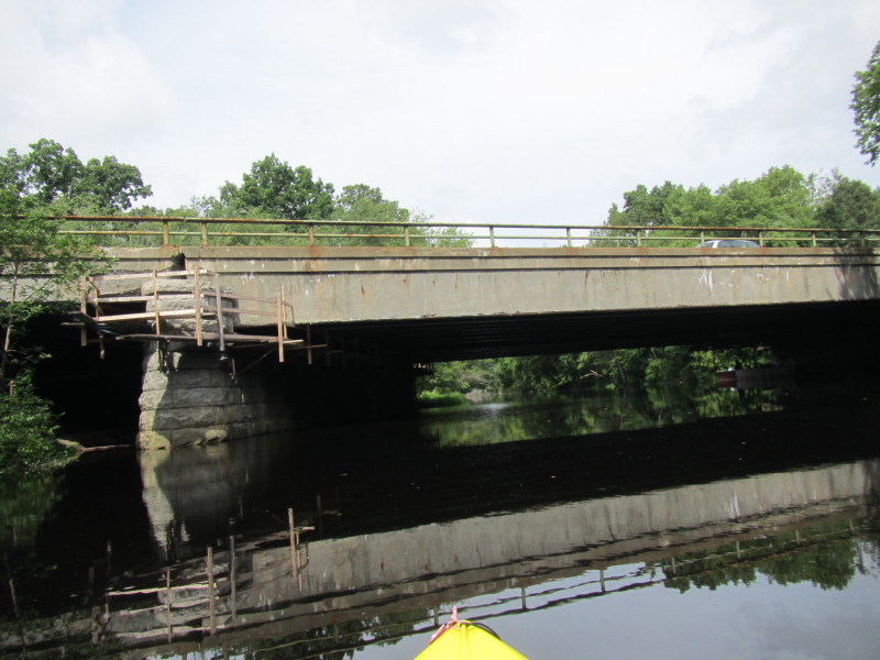
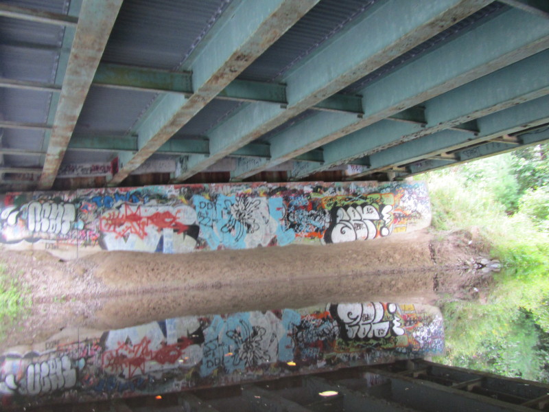
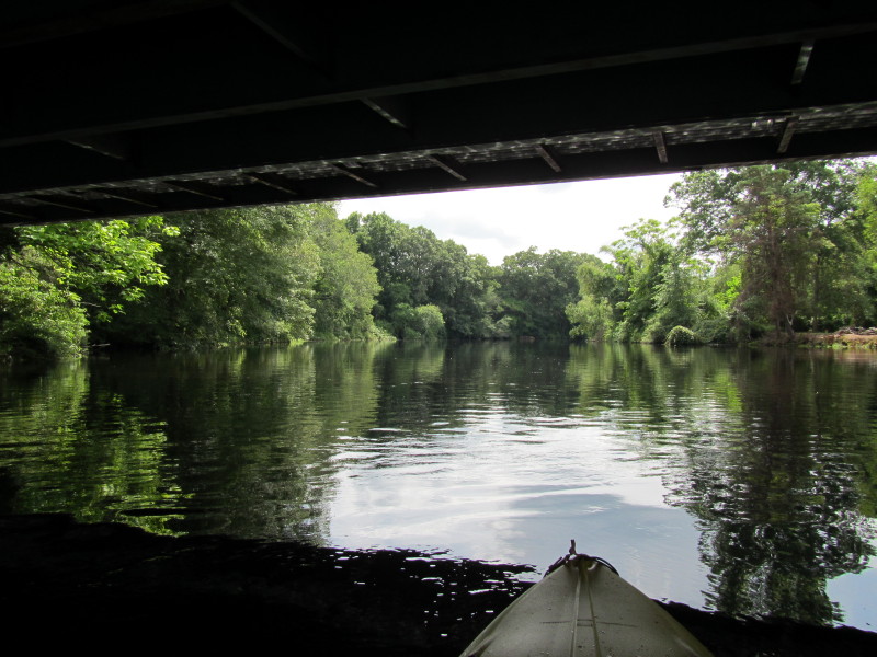
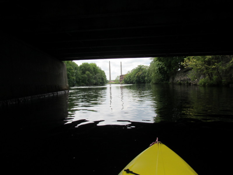
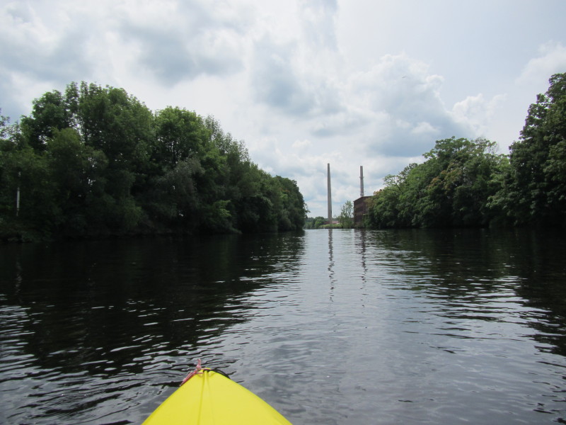
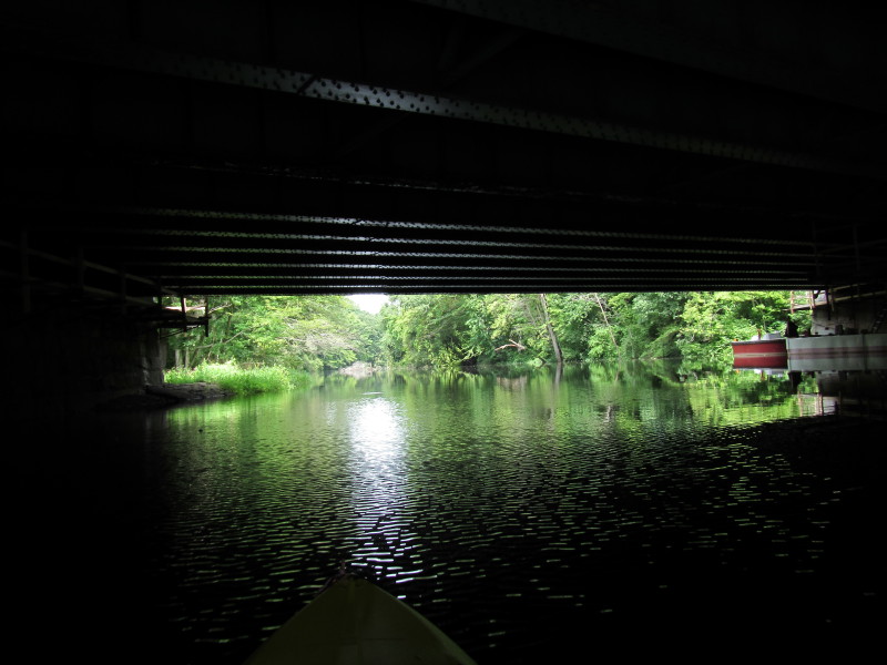 Passing under Route 24 bridge.
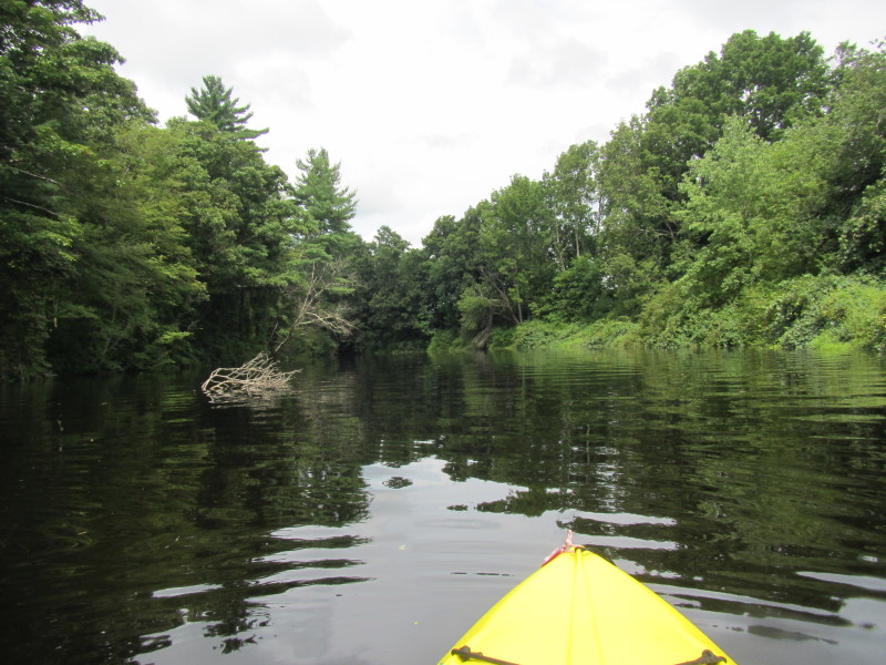
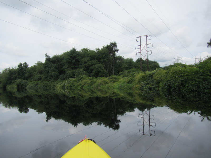
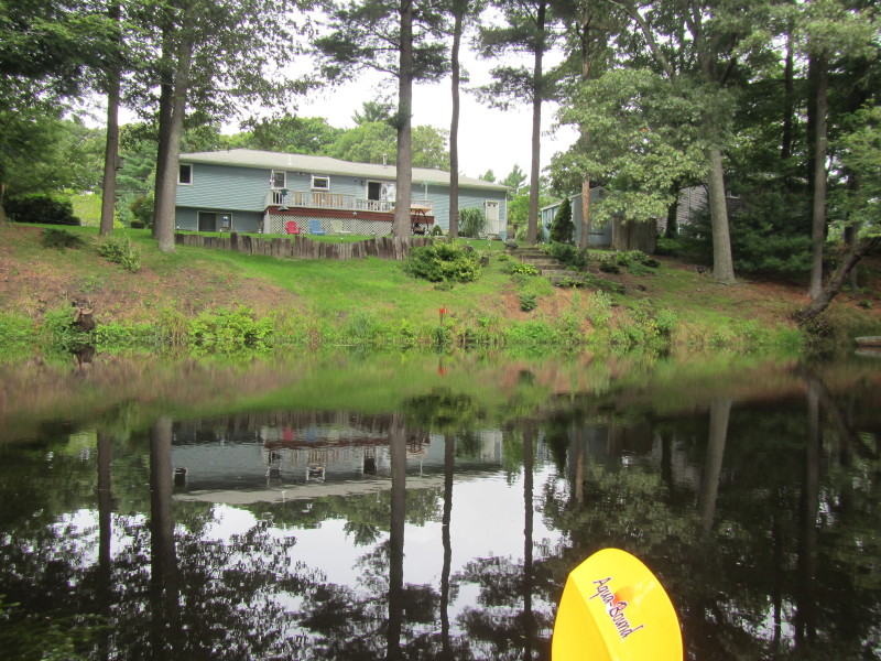
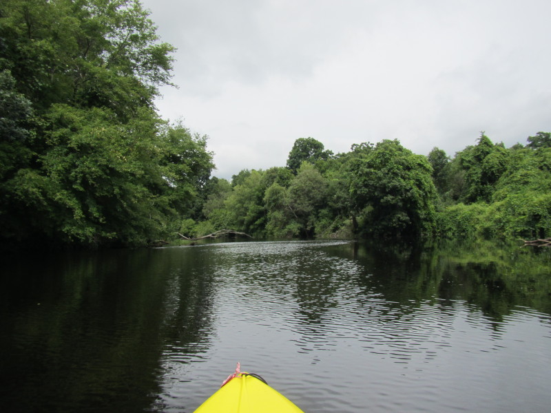
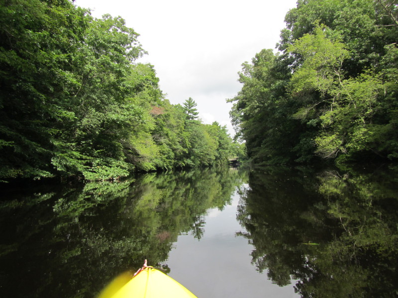
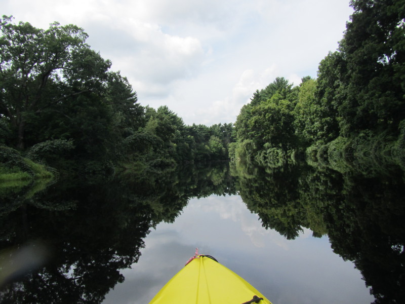
 Route 44 on my right.
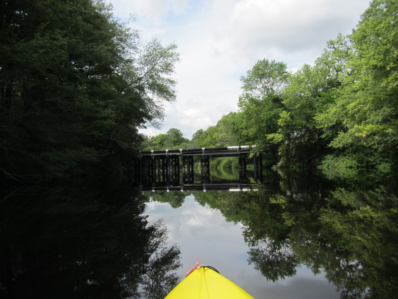
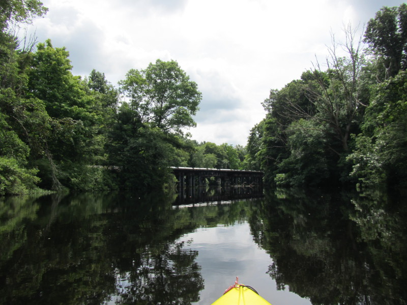
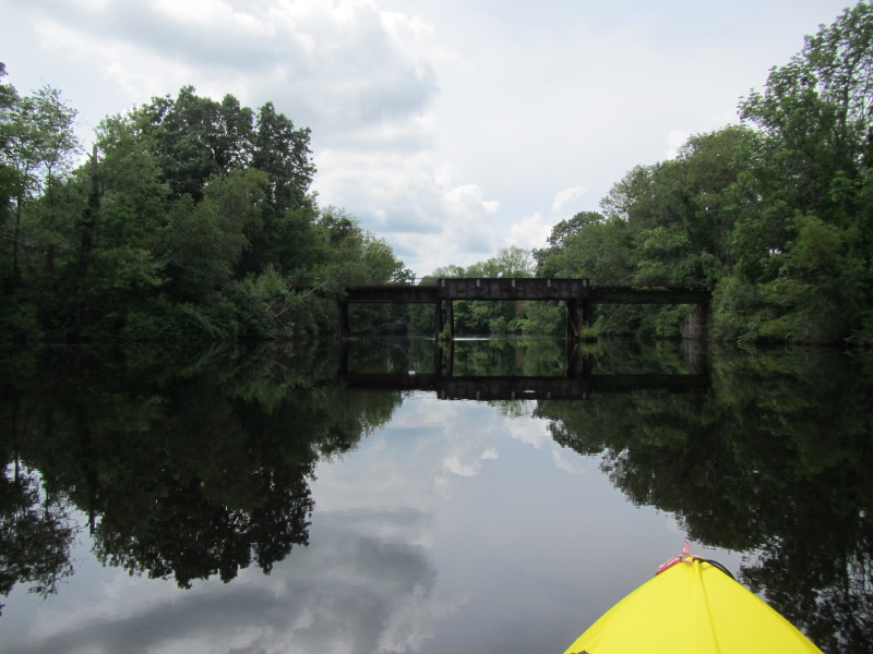
 Old and unused bridge not in maps.
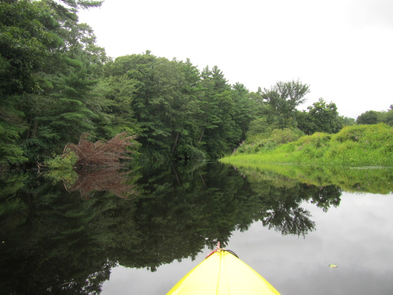
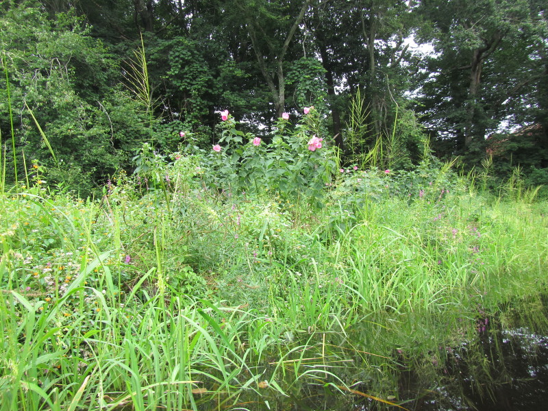
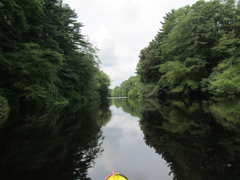
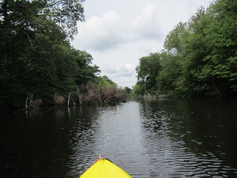
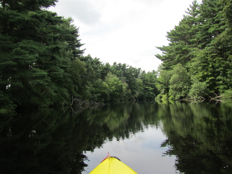
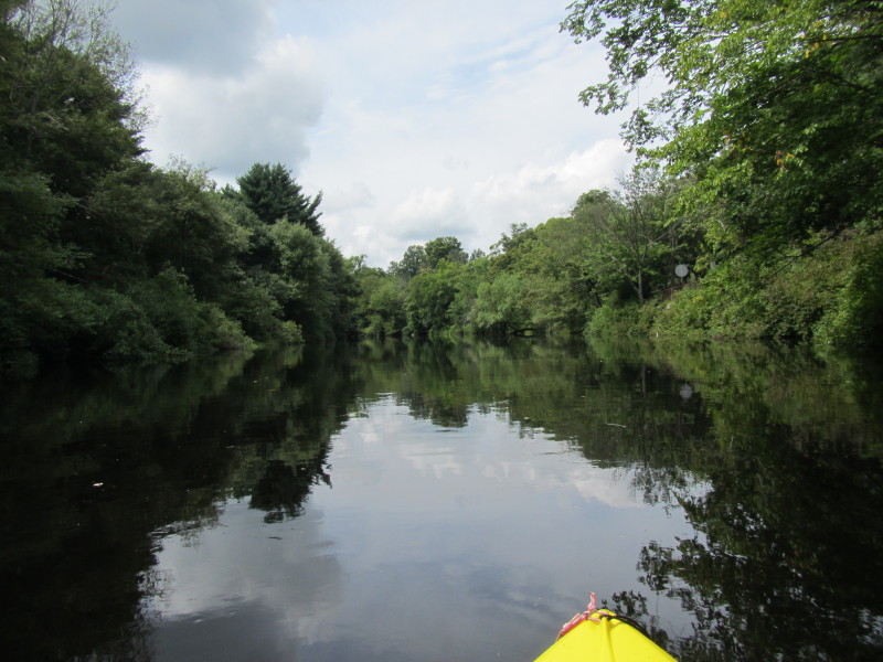
 Another stretch of Route 44 on my right.
 Longmeadow Road bridge.
 A bridge for sewer and water pipes.
 Summer Street bridge.
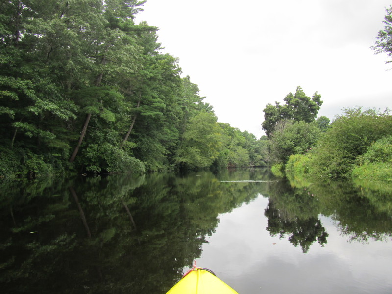
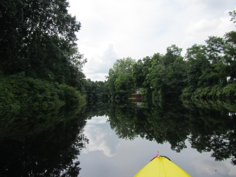
 Another unused old bridge.
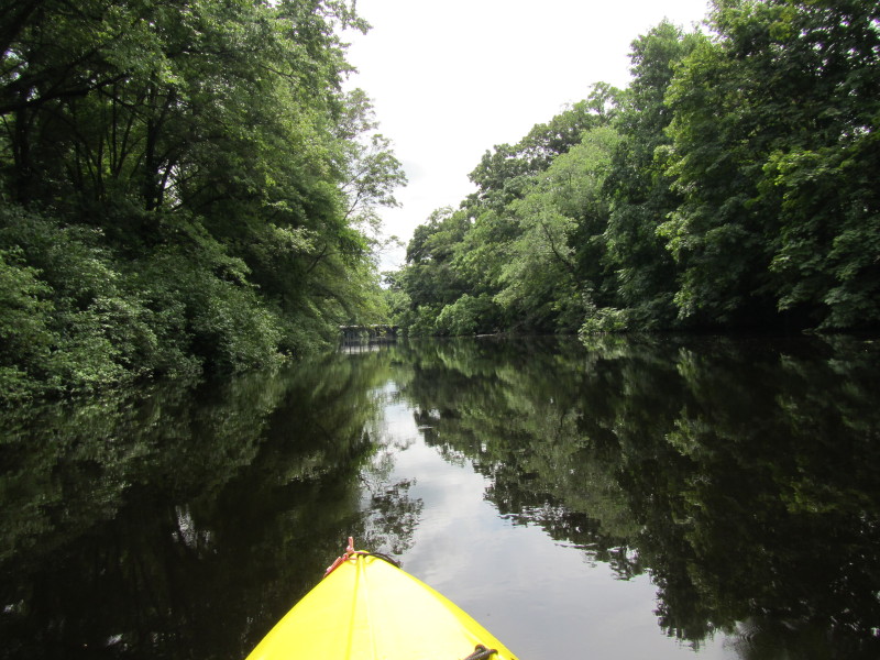
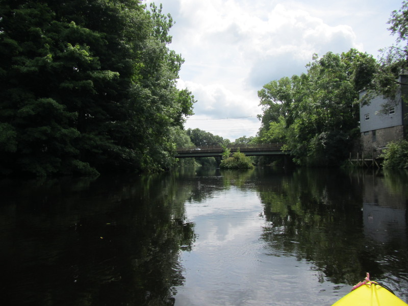
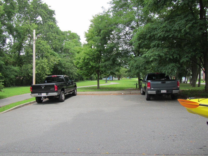
 The Weir Village bridge. Last bridge before take-out.
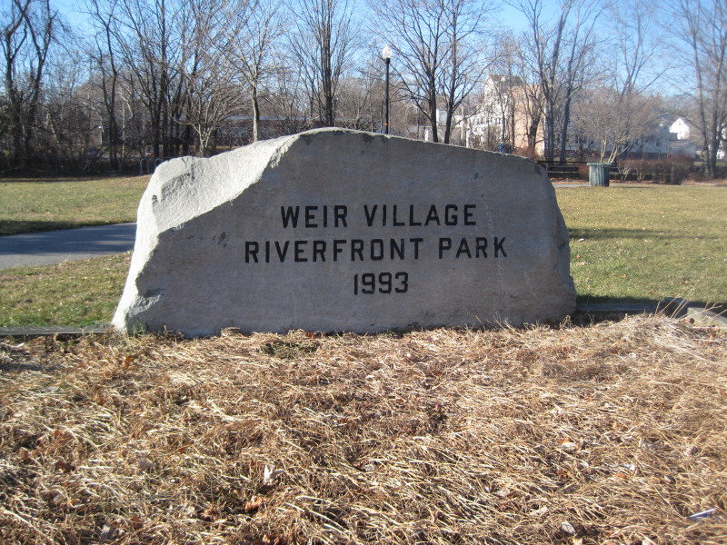
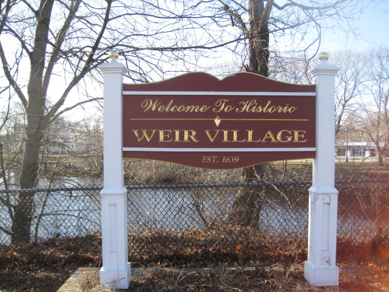 The sign at Weir Village Park. This picture and all
the pictures below were taken January 2012.
The sign at Weir Village Park. This picture and all
the pictures below were taken January 2012.
|