 Kayaker

|


|
Download printer-friendly
PDF version that fits in one page: |

|
|
Other resources:
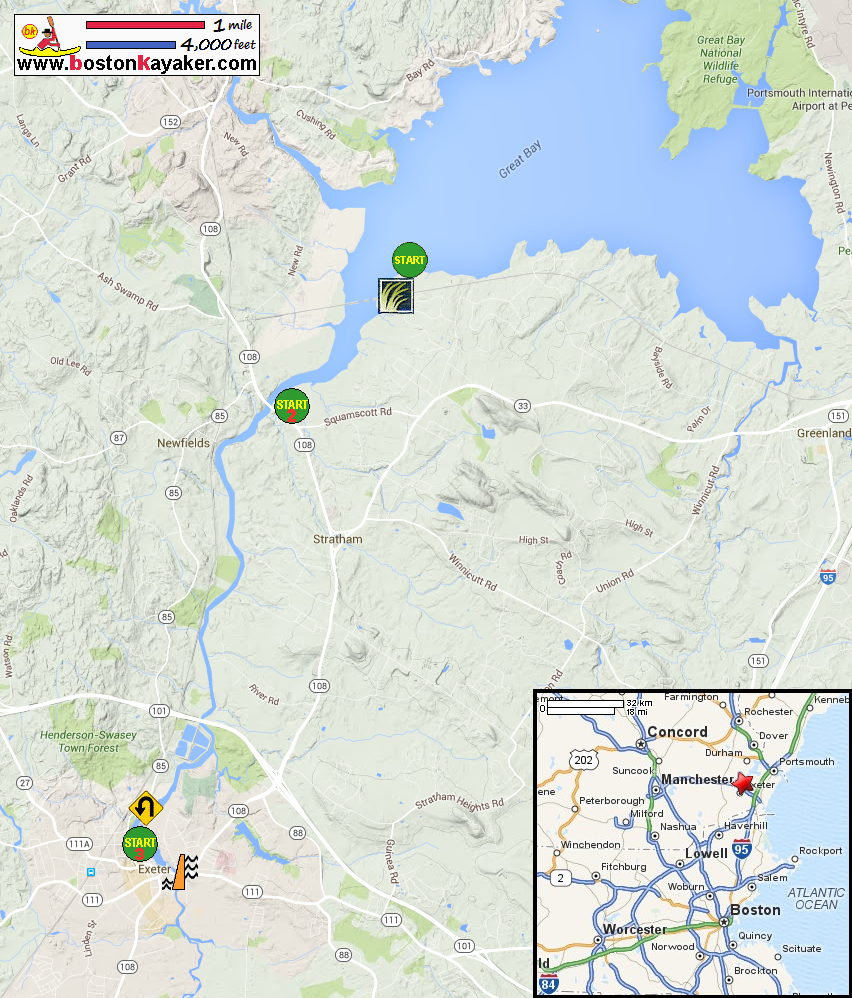
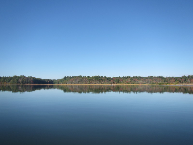
NH Govt: Coastal Access brochure NH Govt: Coastal Access brochure (cached copy) US Harbor Tides: Squamscott River Tides Schdedule Great Bay Discovery Center US Fish & Wildlife: Great Bay National Wildlife Refuge All photos in this website are original and copyrighted. 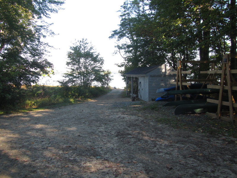 At the launch to the Greay Bay at the end of Depot Road in Greenland NH.
Trip date is October 2015. 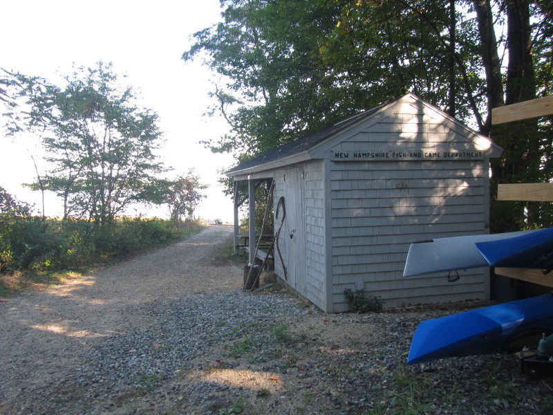
 It was before 10am and about 30+ minutes before high tide.
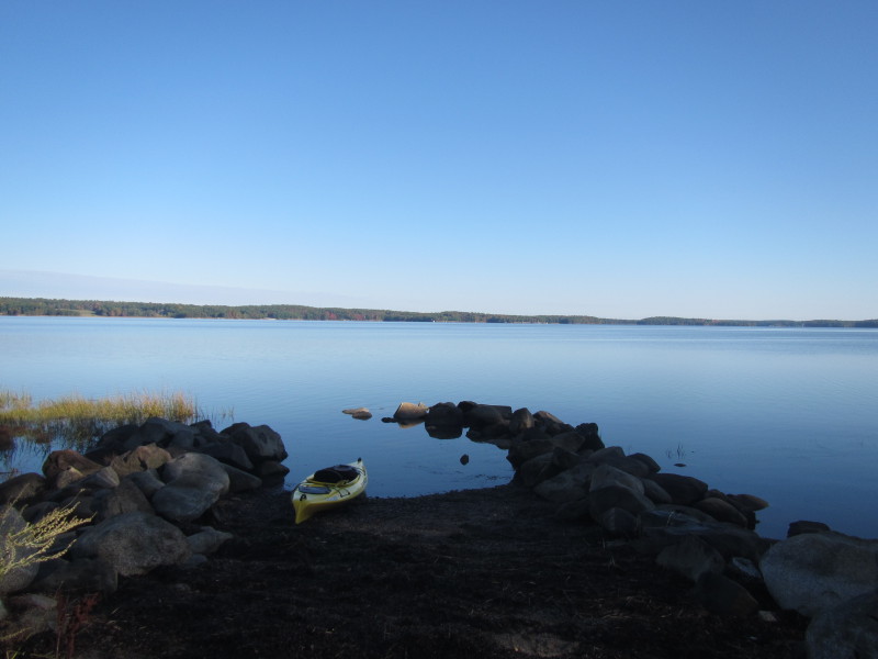
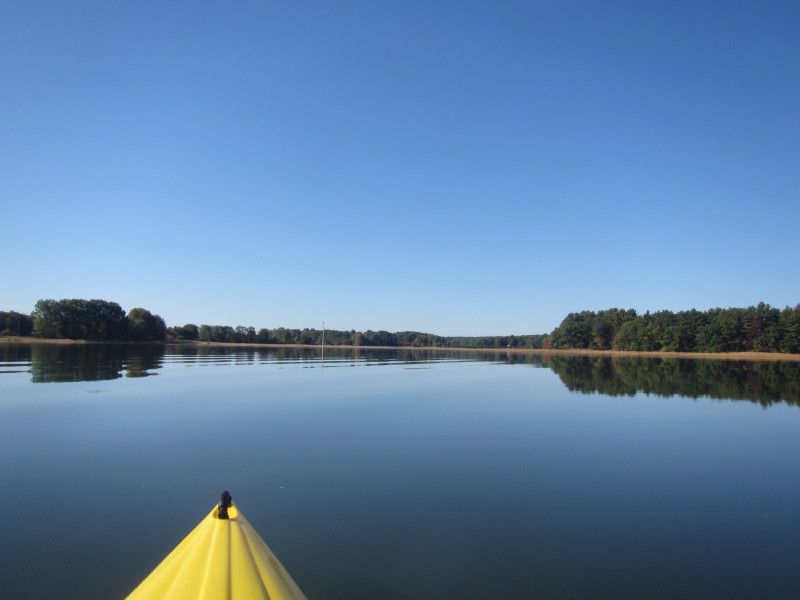
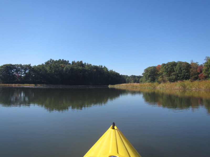
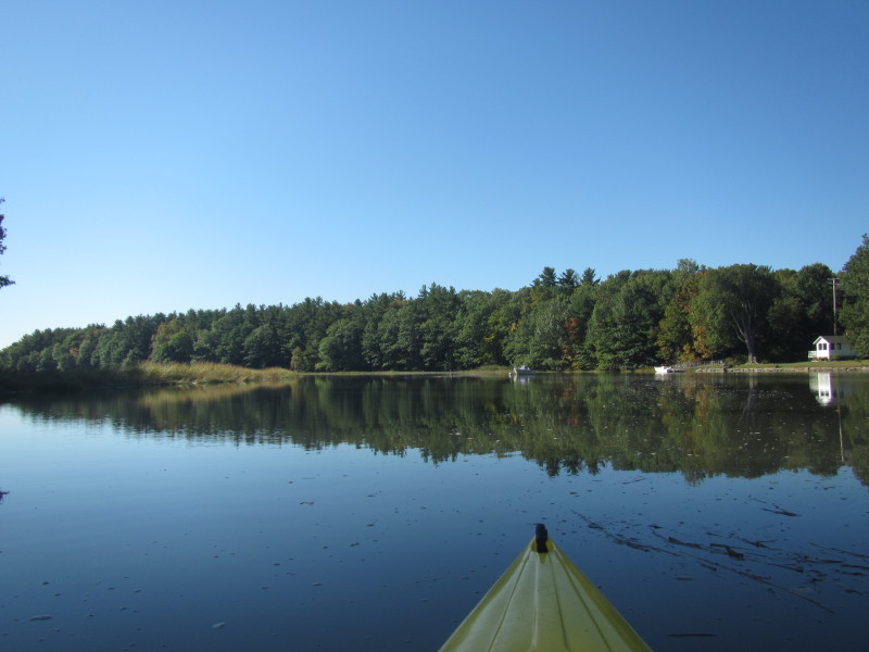
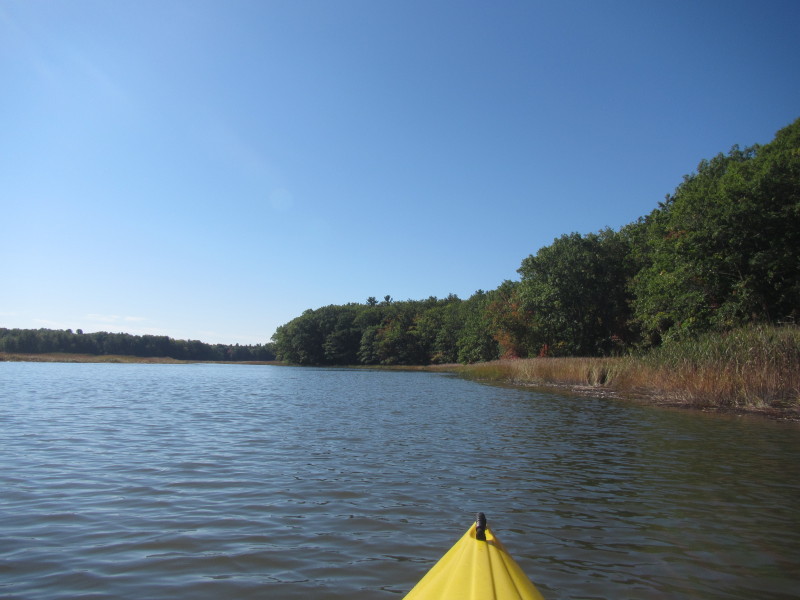
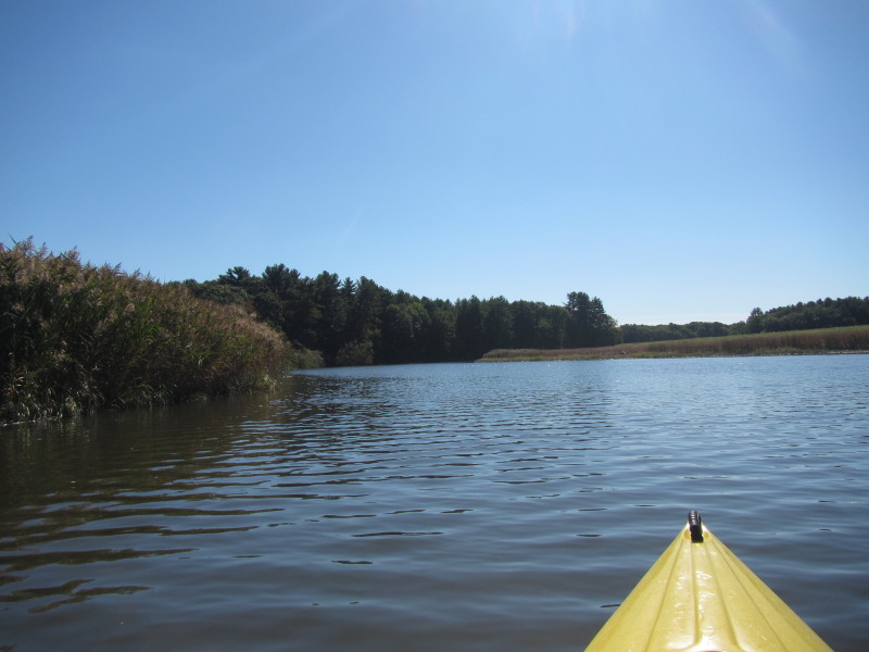
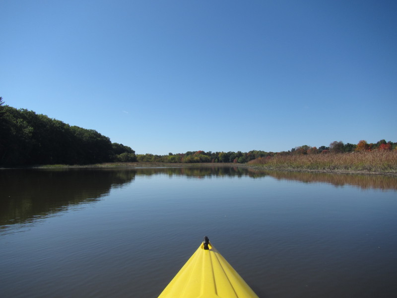
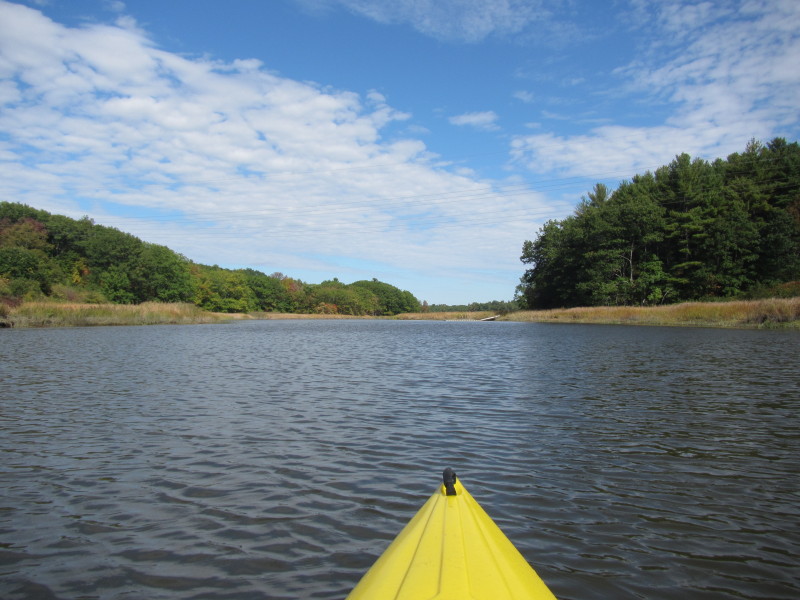
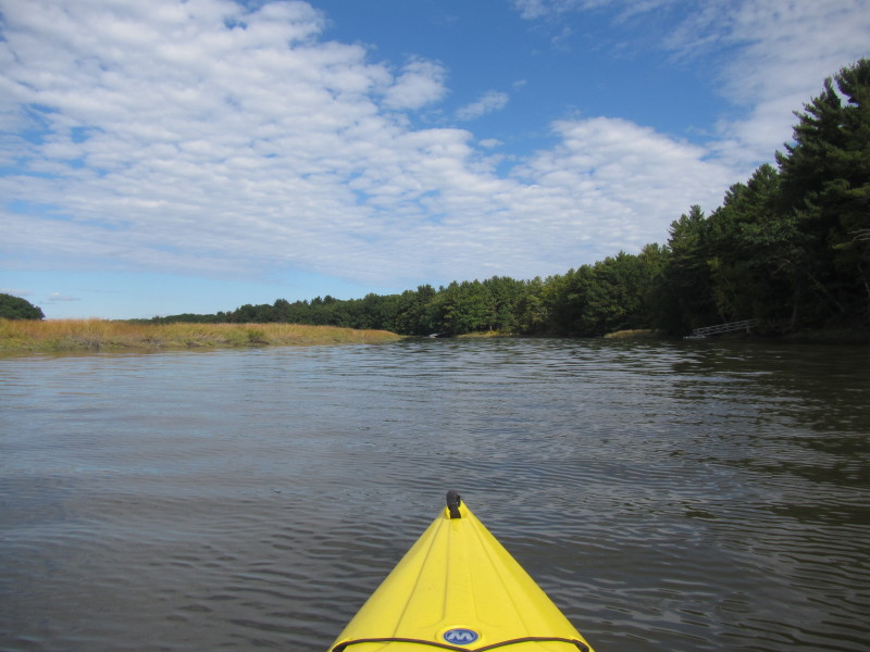
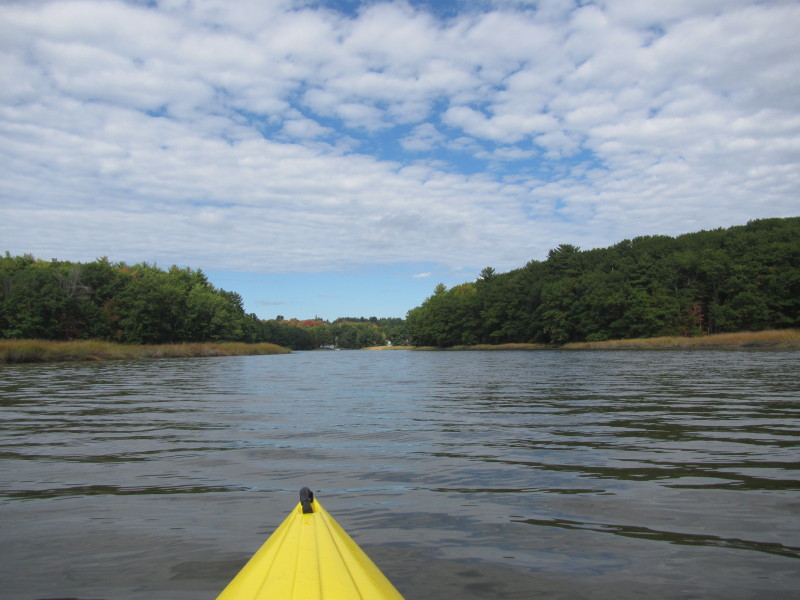
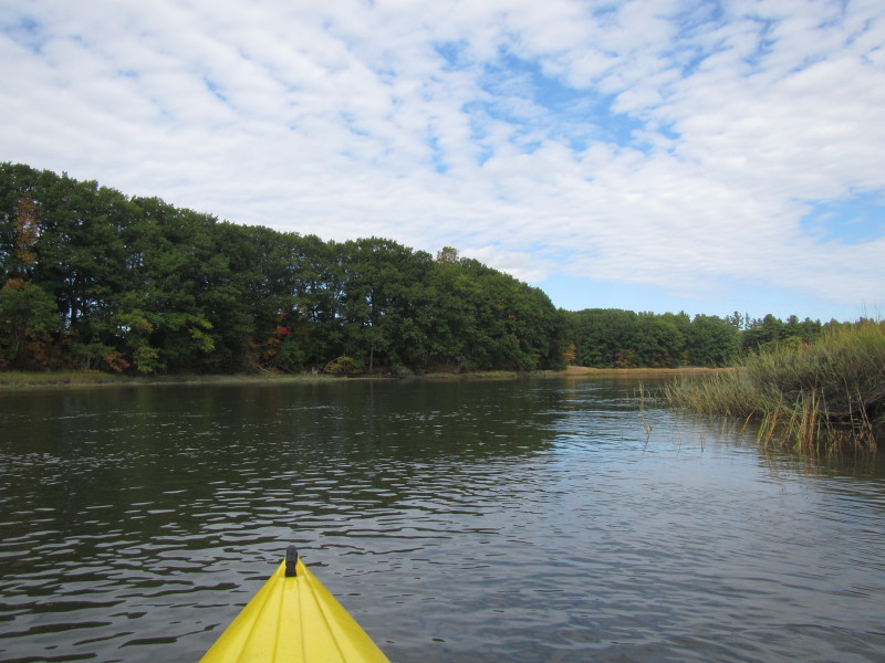
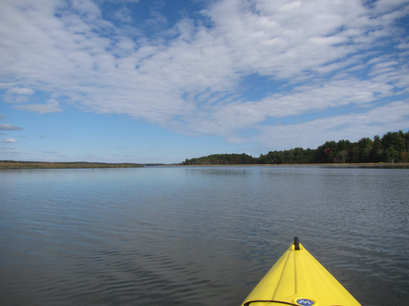
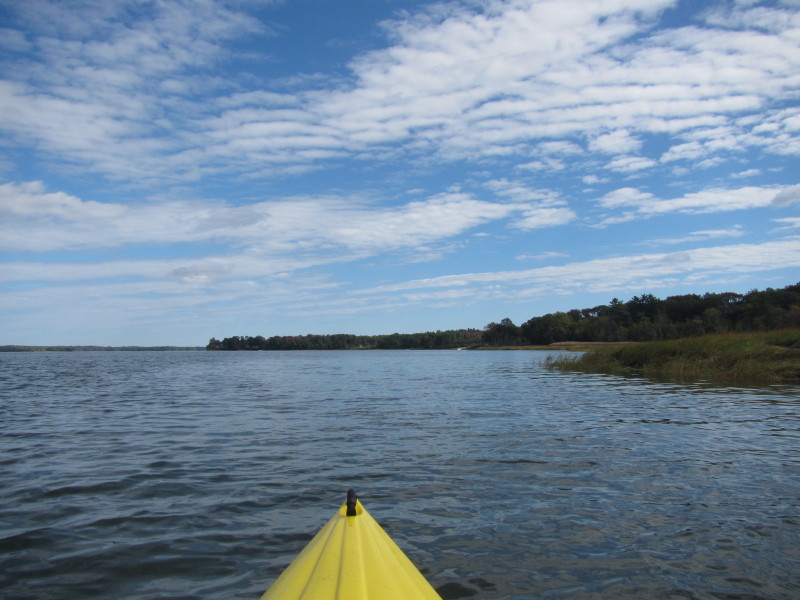
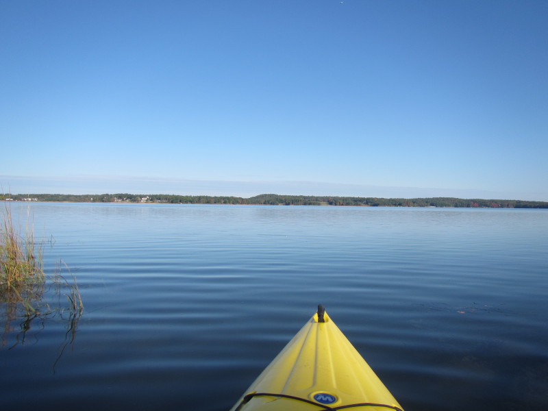 The Boston Kayaker just launched onto the Great Bay.
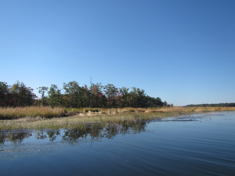
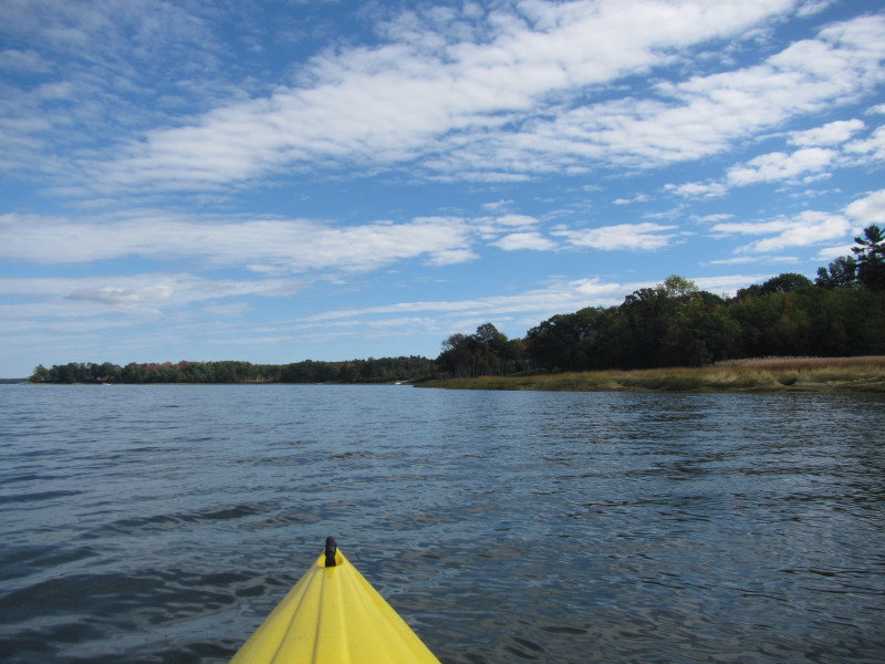
 I veered to my left and will follow the coast line to Squamscott River.
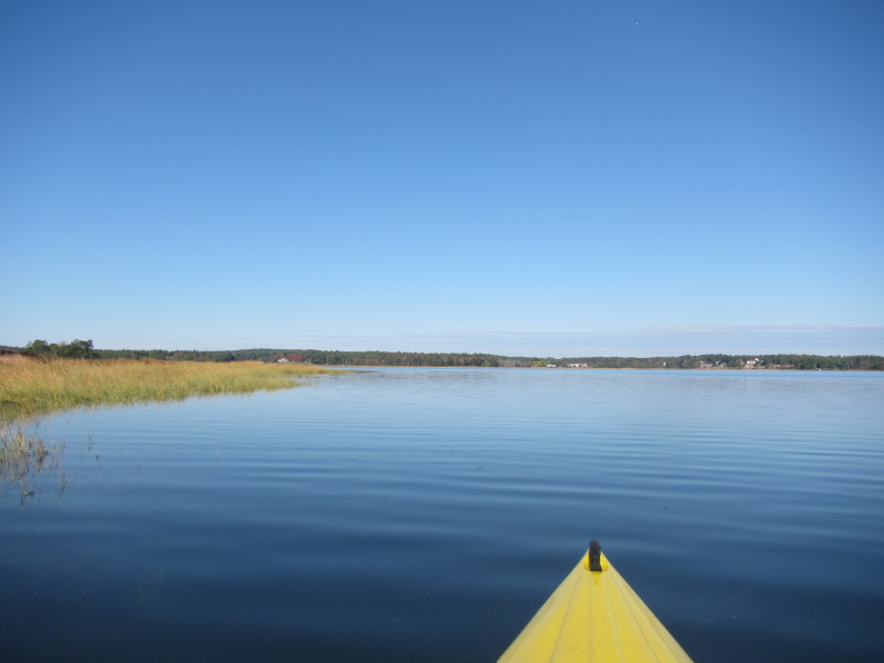
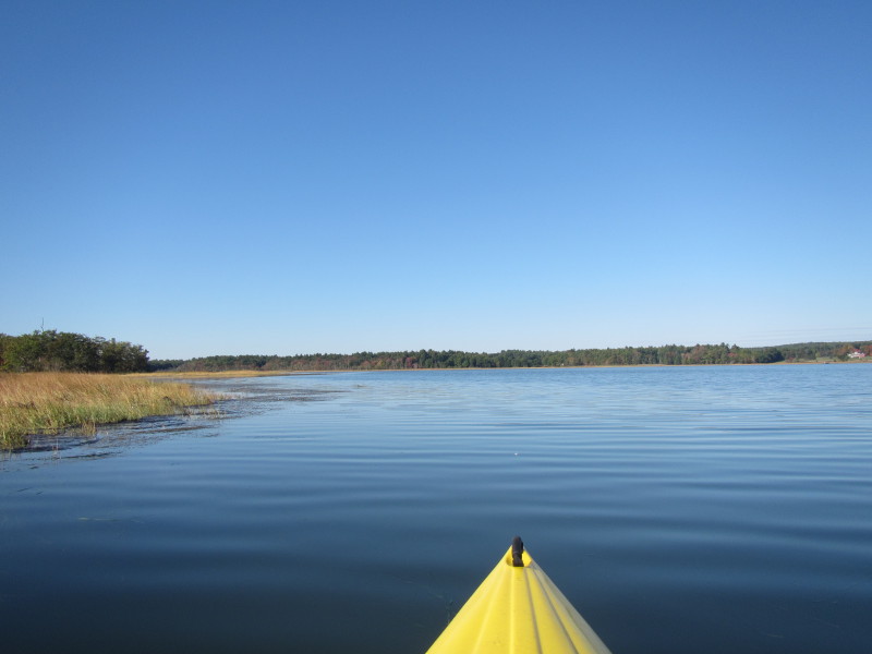
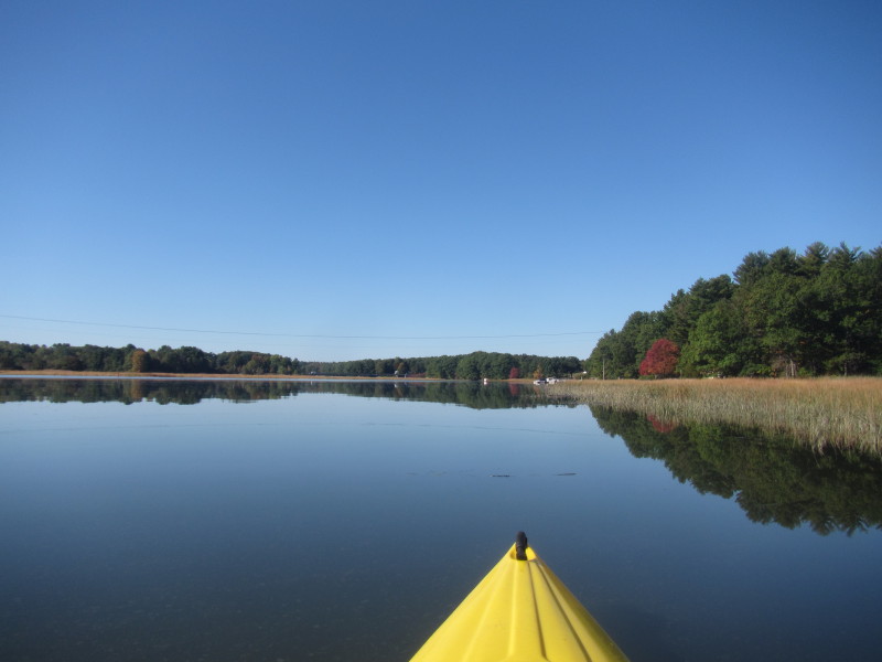
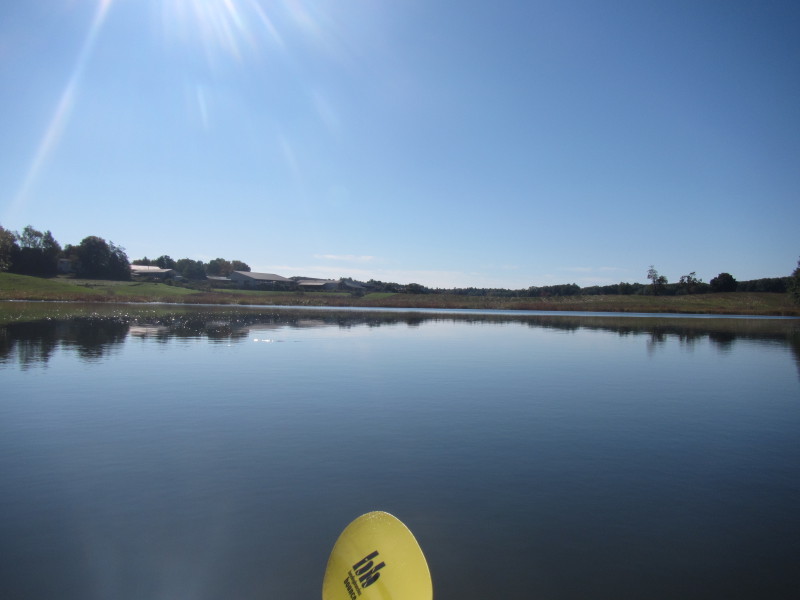
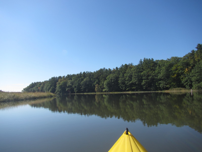
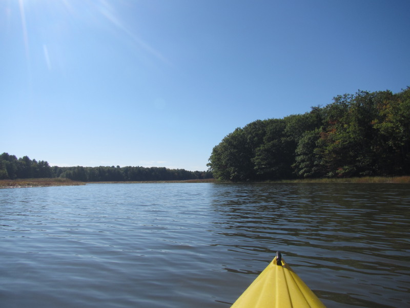
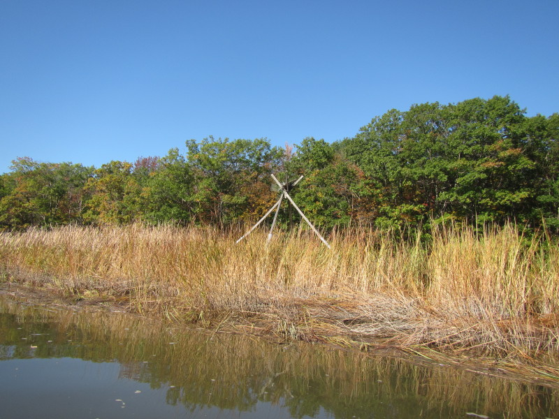
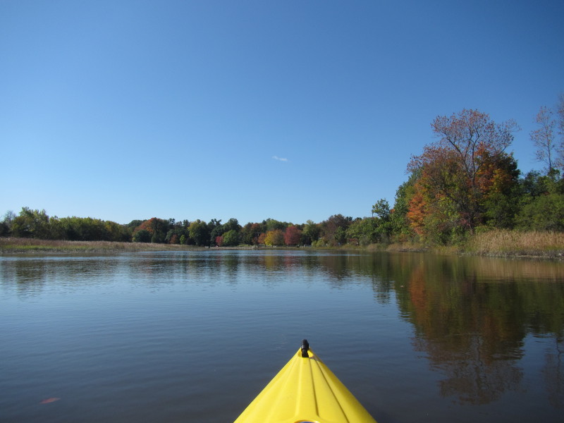
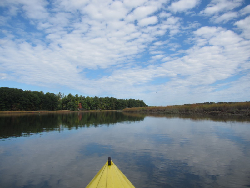
 Right now, no wind and water is very calm.
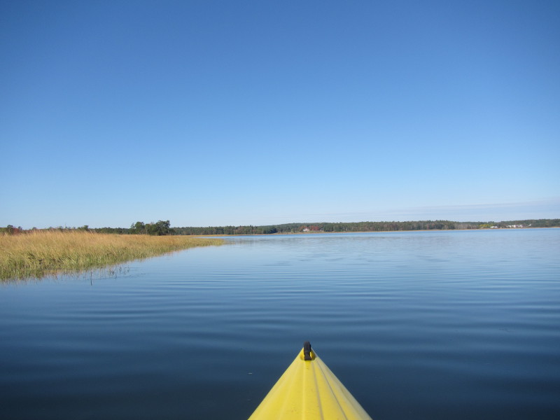
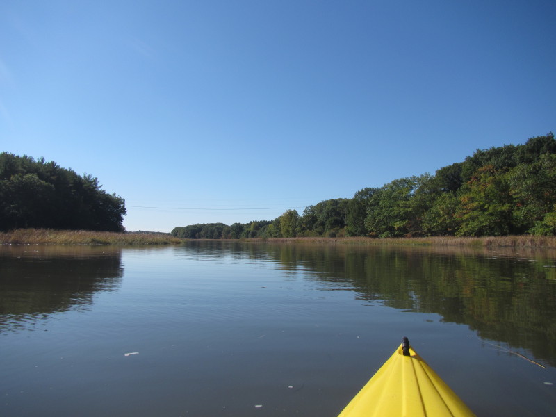
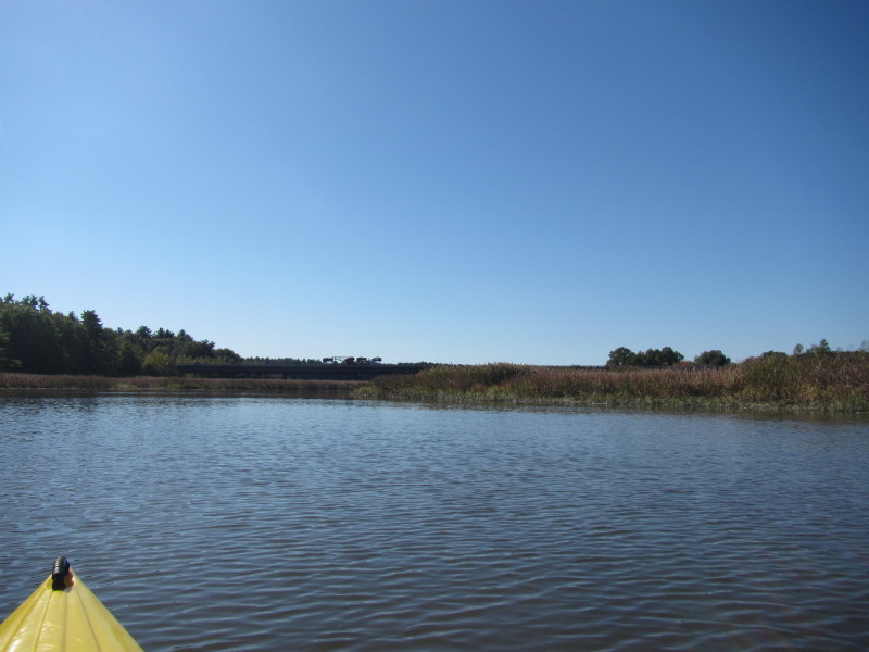
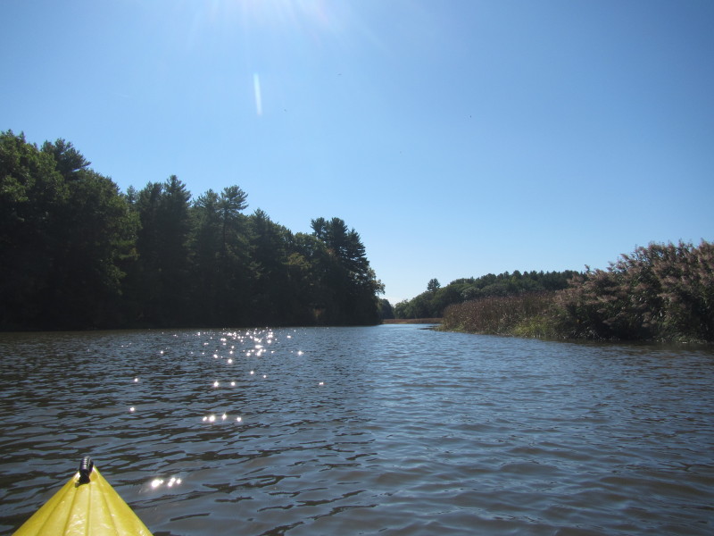
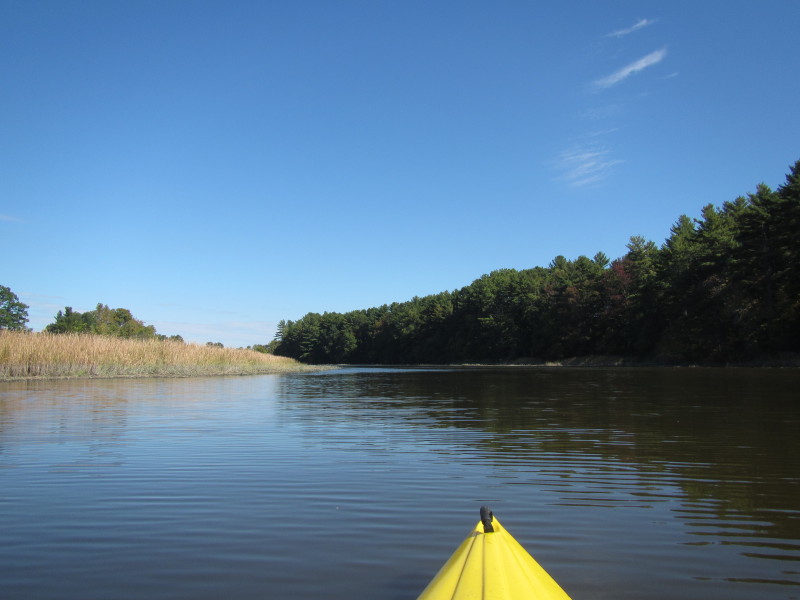
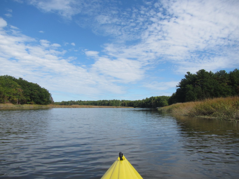
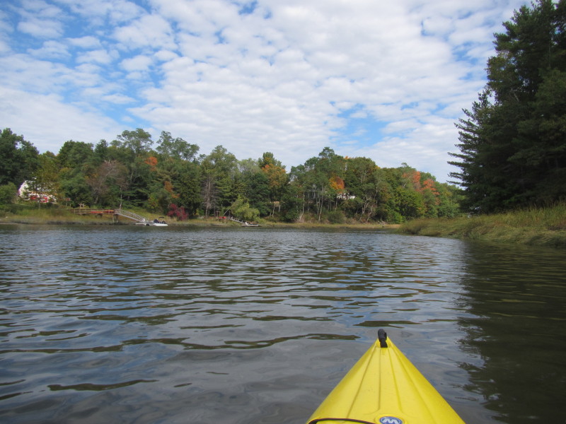
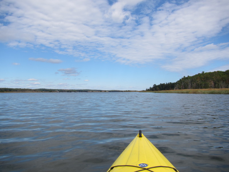
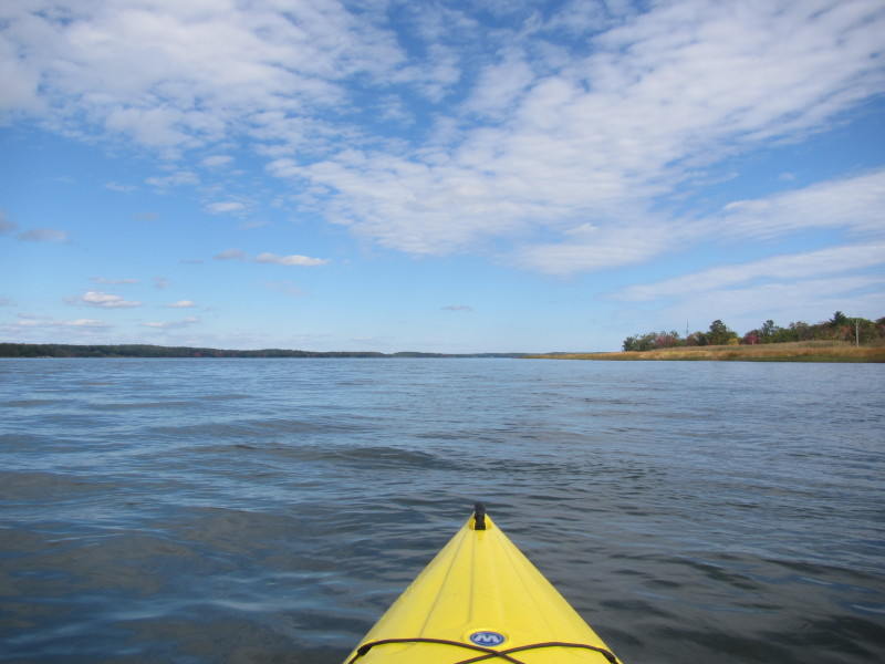
 Now veering southwards to the mouth of the Squamscott River.
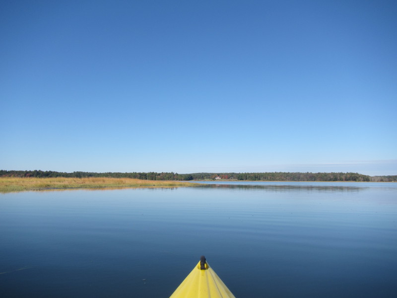
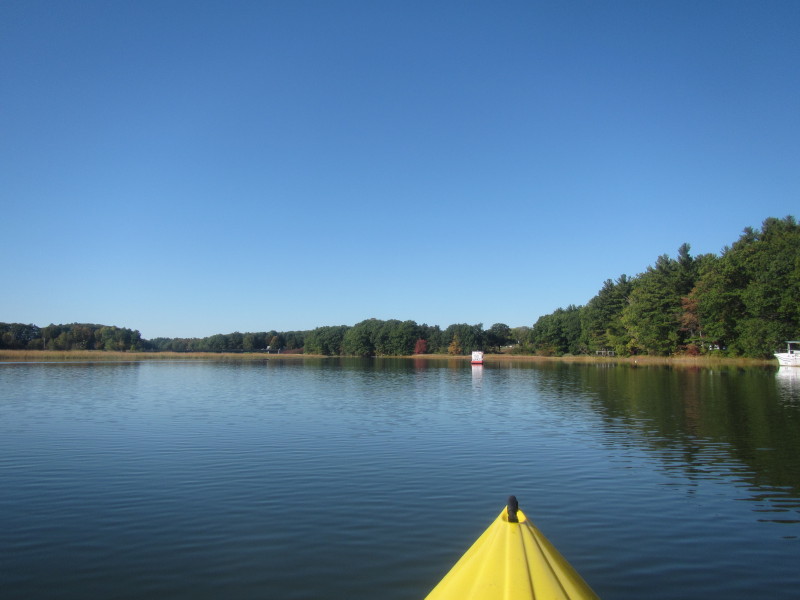
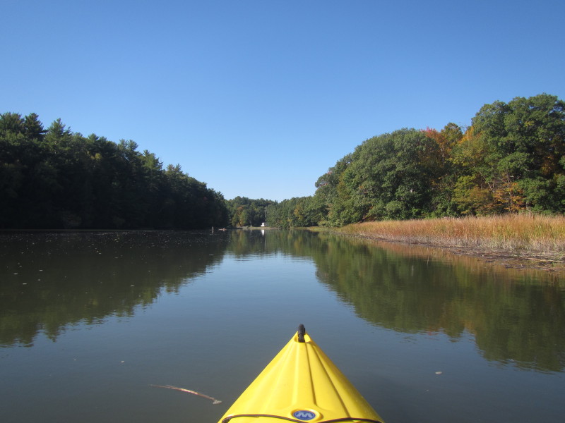
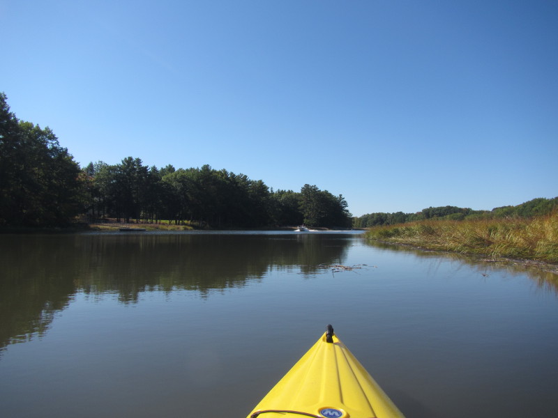
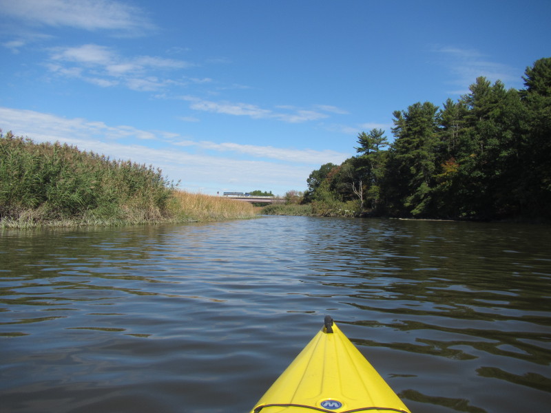
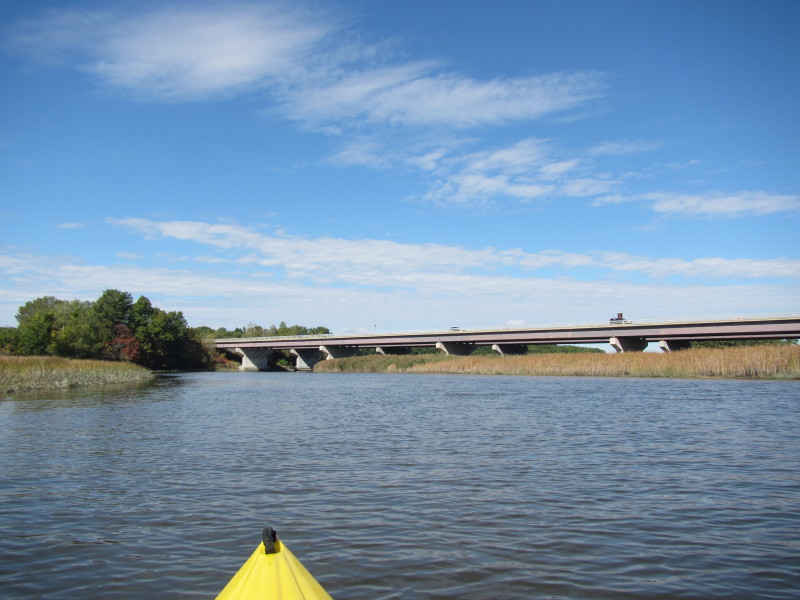
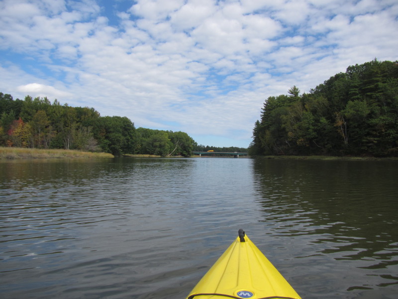
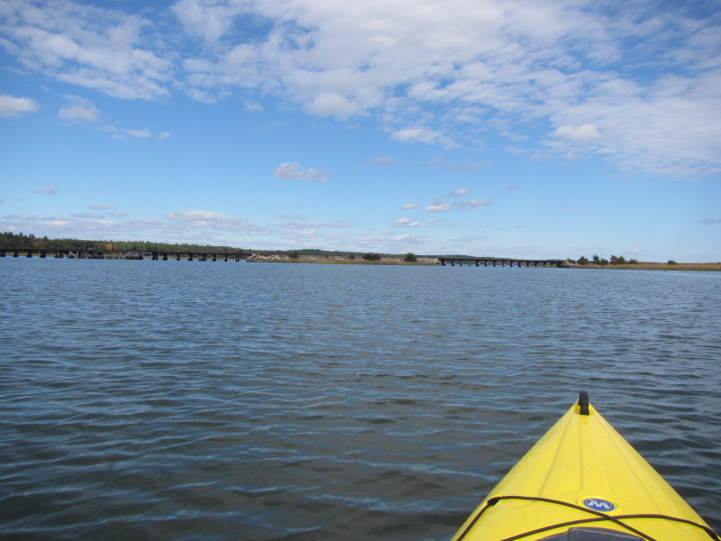
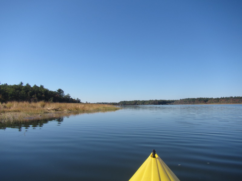 I can see the rail bridge . . .
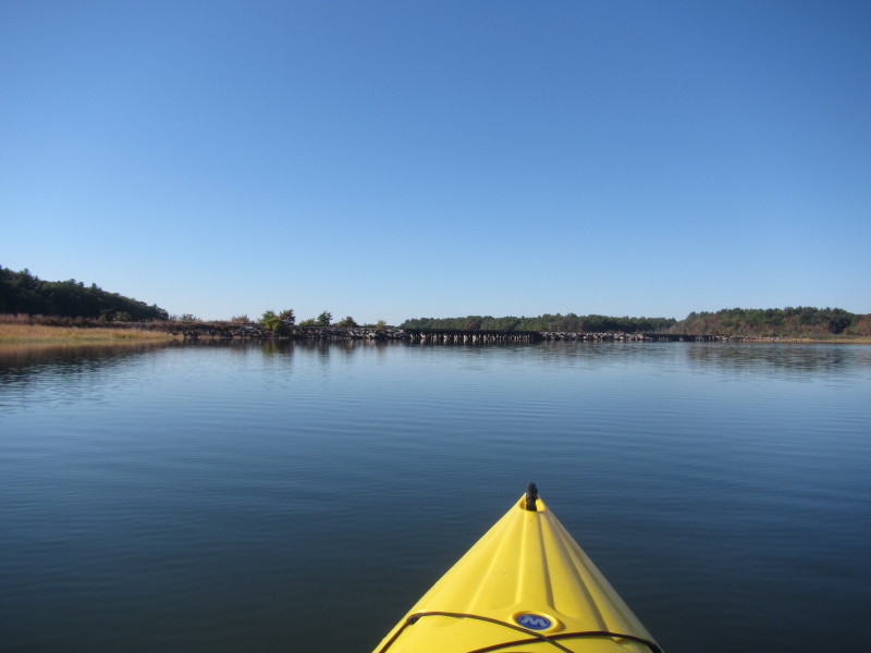
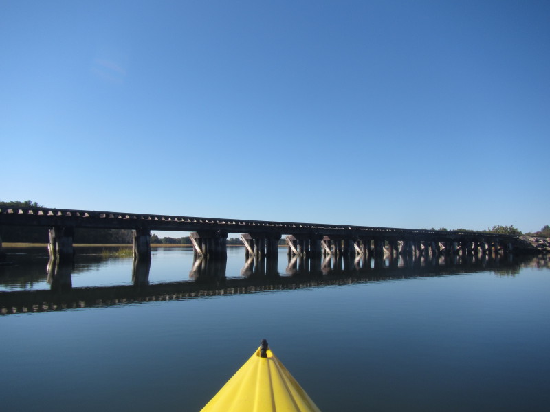
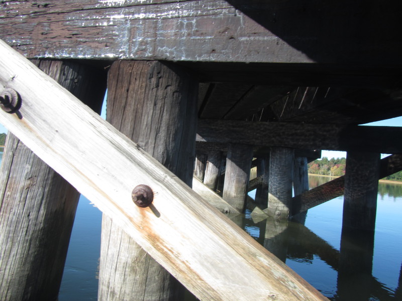
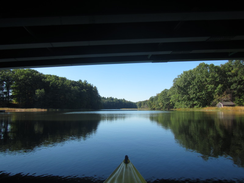
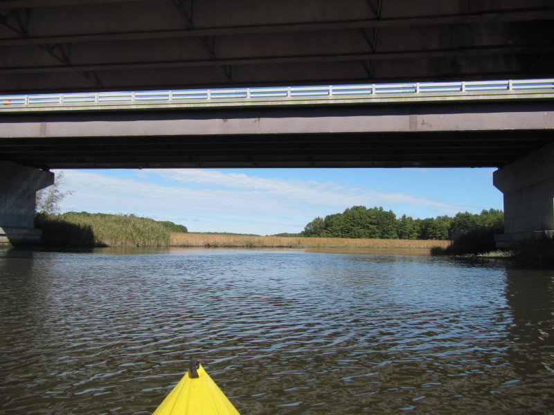
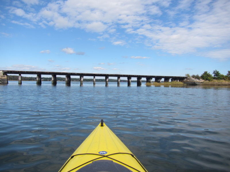
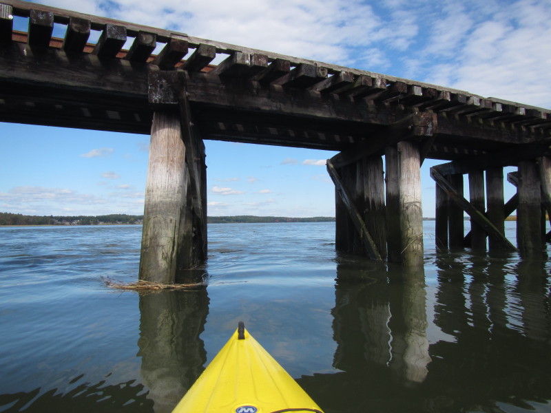
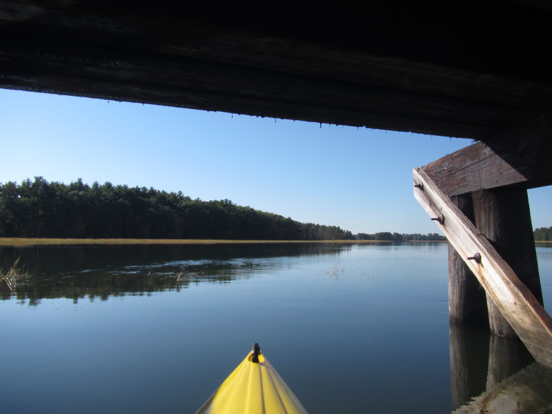 Passing under the rail bridge over the Squamscott River.
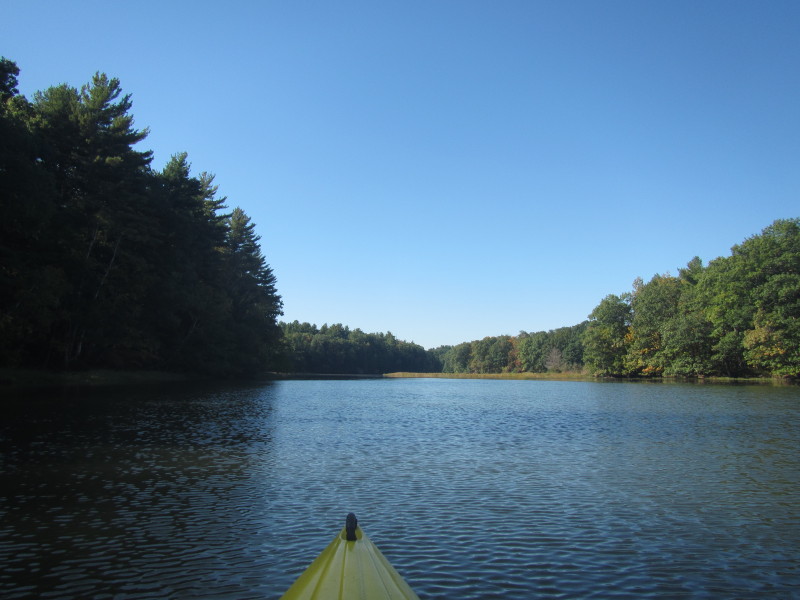
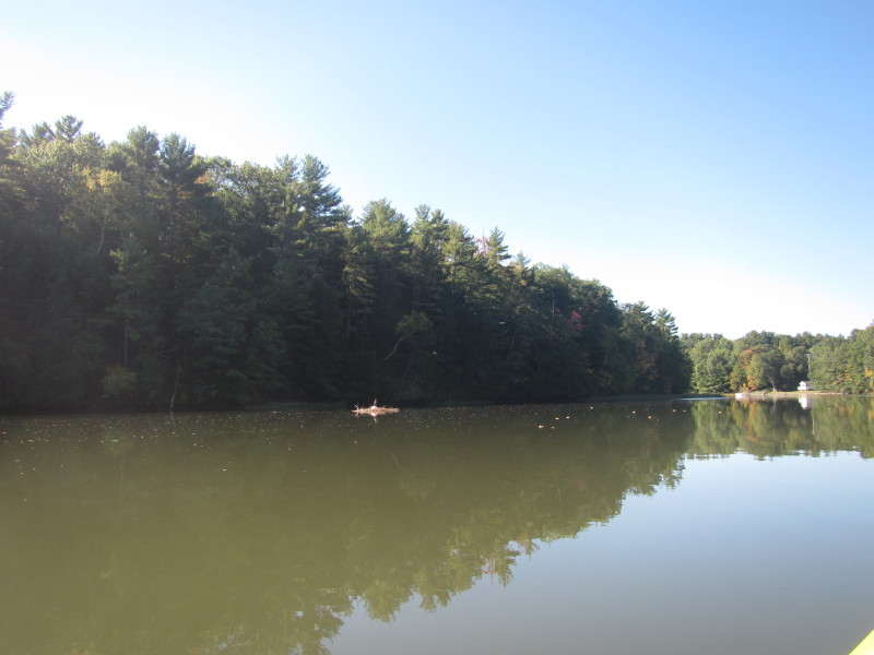
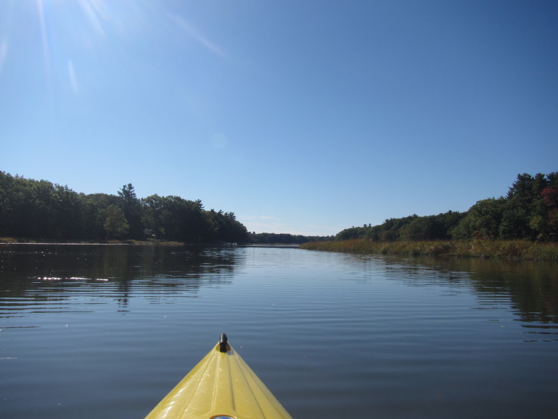
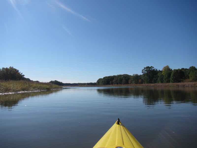
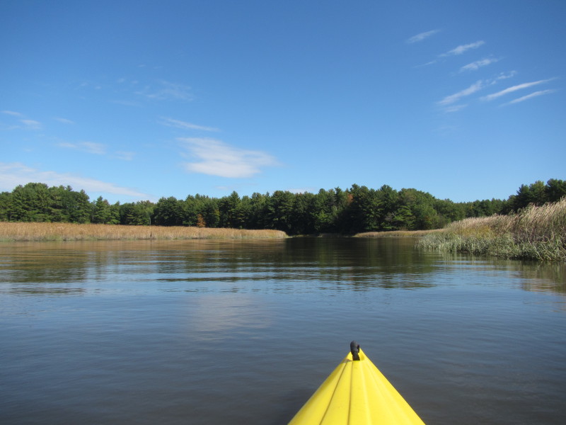
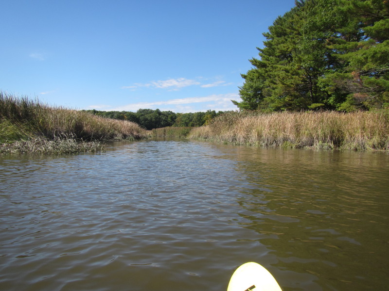
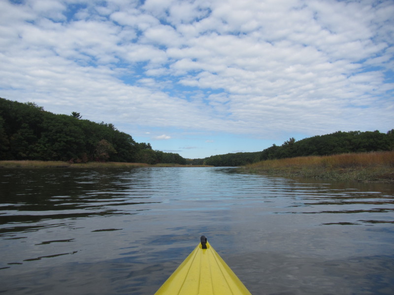
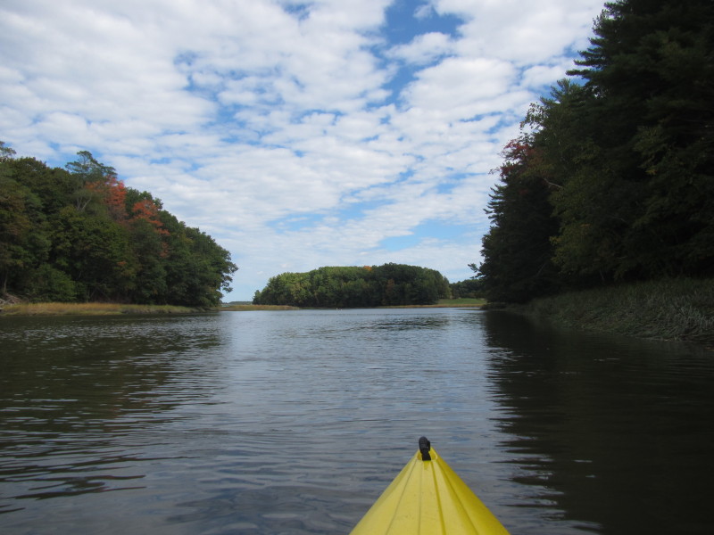
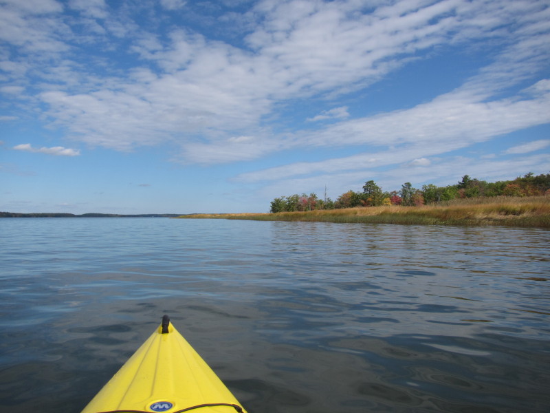
 The river continues to narrow.
 Looking to my right, 2 guys loudly chatting and putting along on their motorized boat.
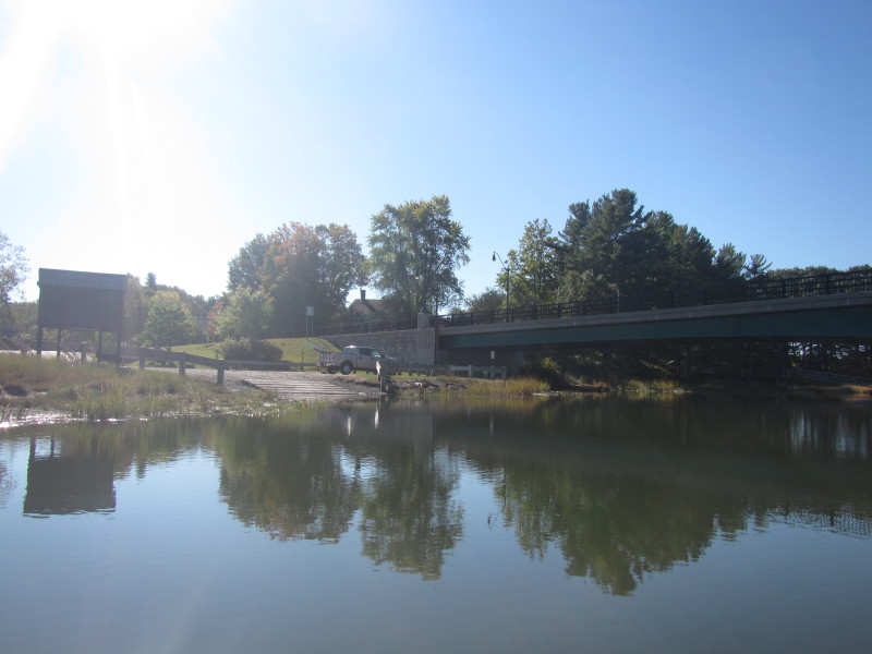
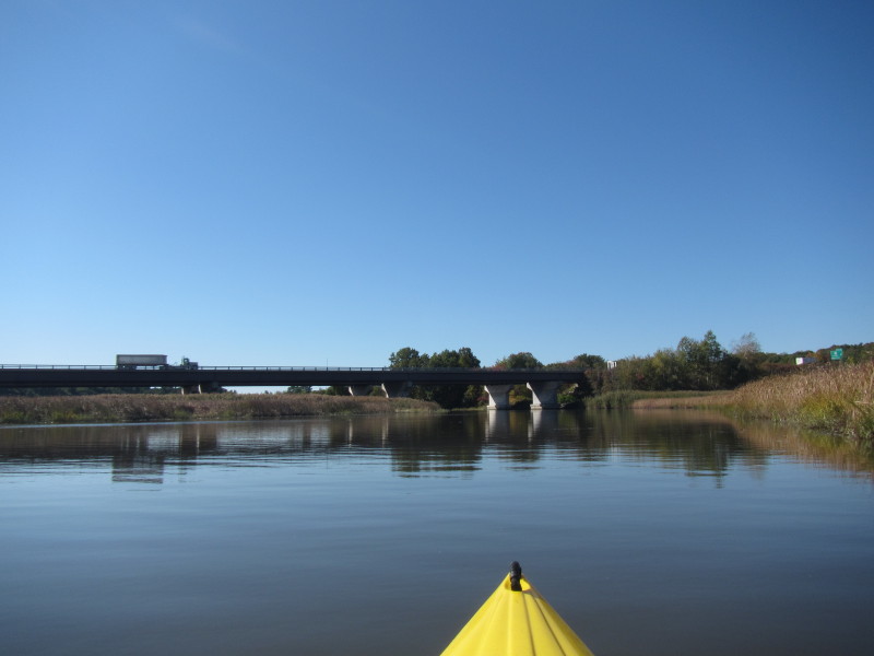
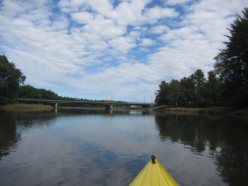
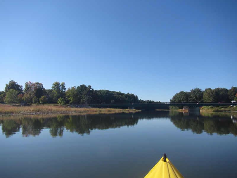 Approaching the Route 108 bridge.
 On the left before the bridge is the alternate put in Chapman's Landing.
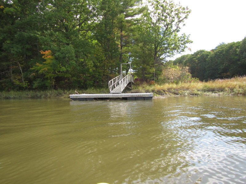
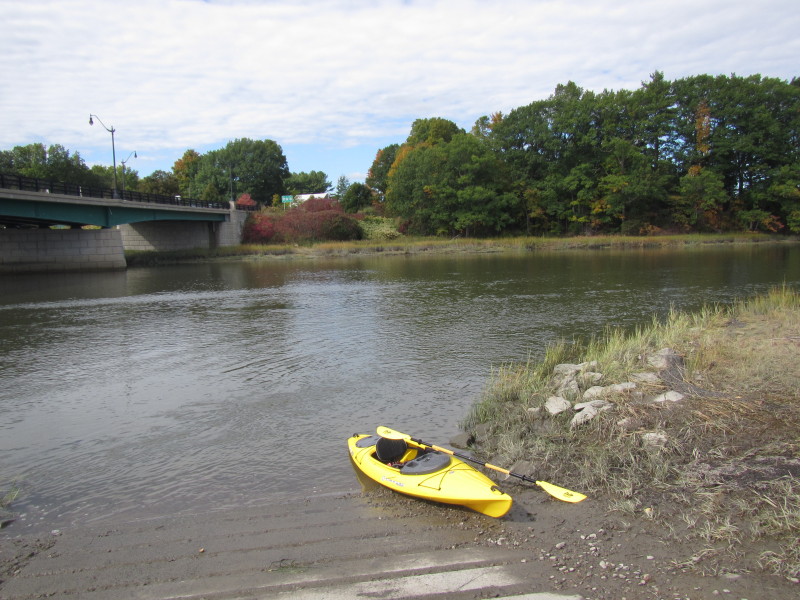
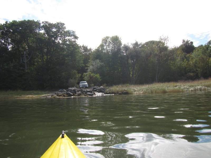
 The Chapman's Landing access to the Squamscott River in Stratham NH.
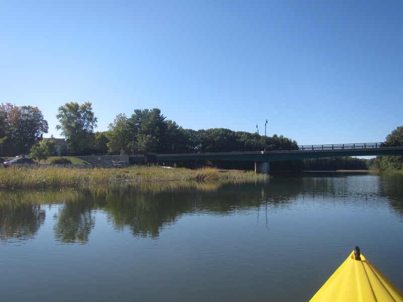
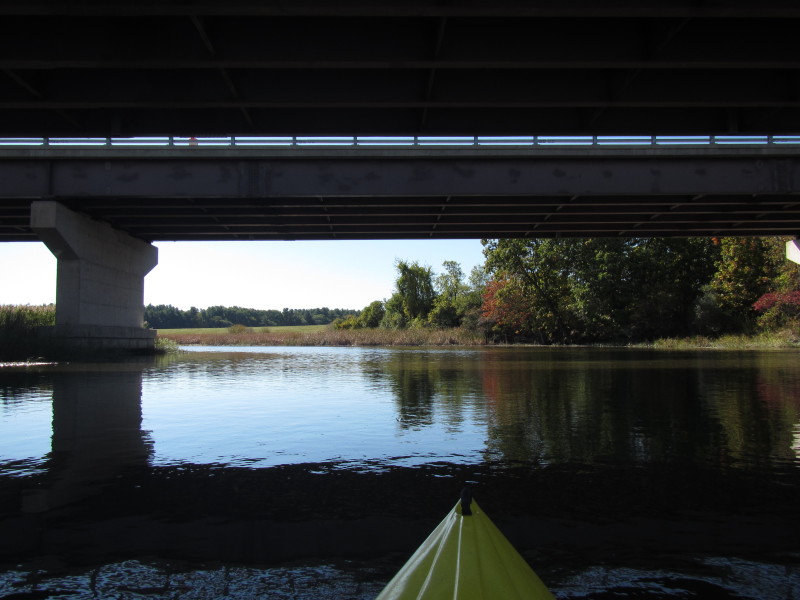
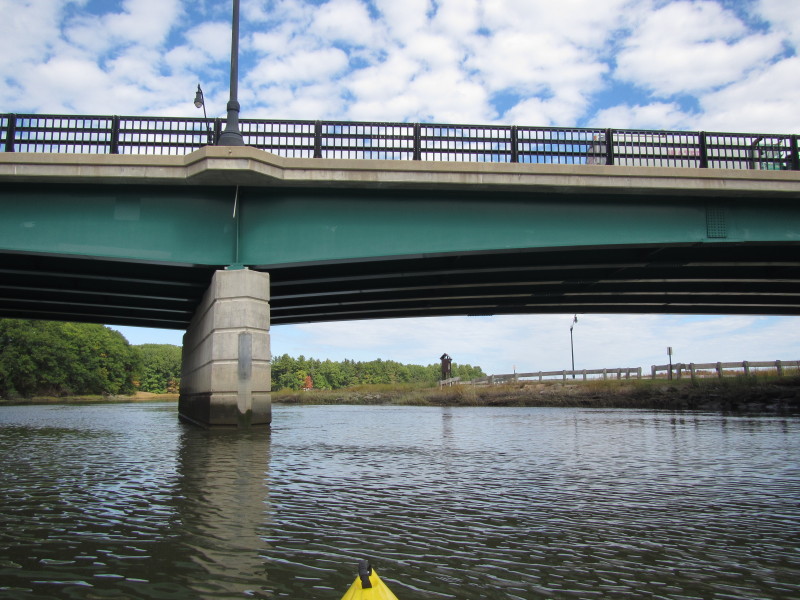
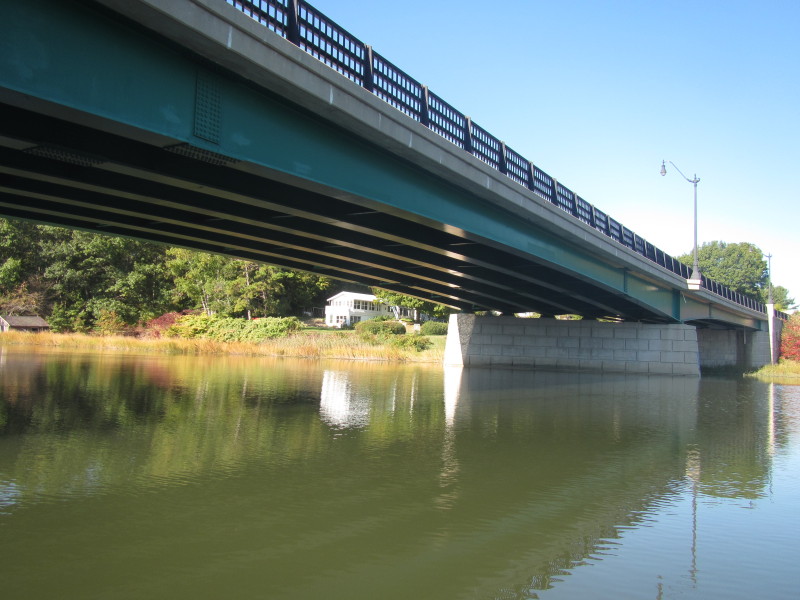 Route 108 bridge over the Squamscott River.
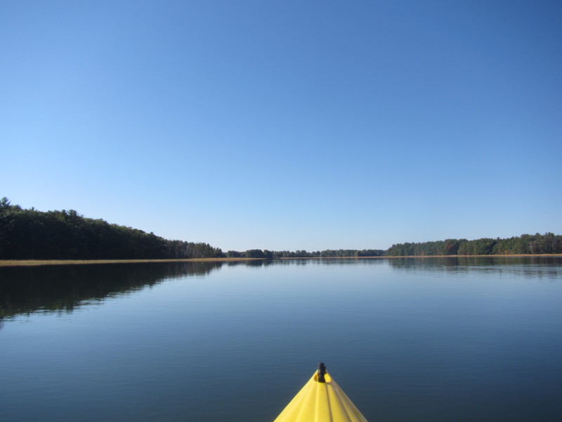
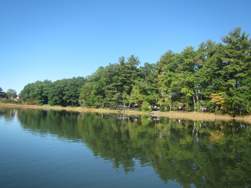
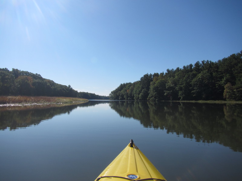
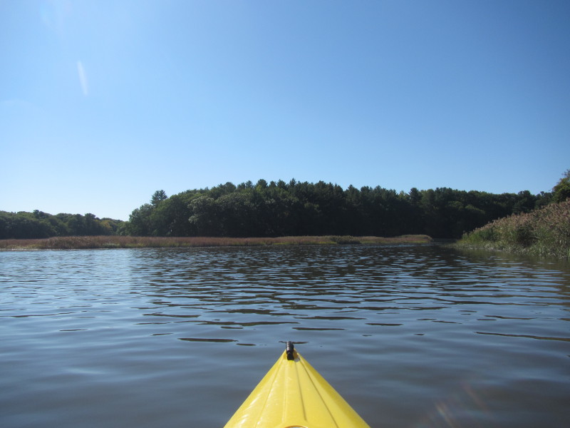
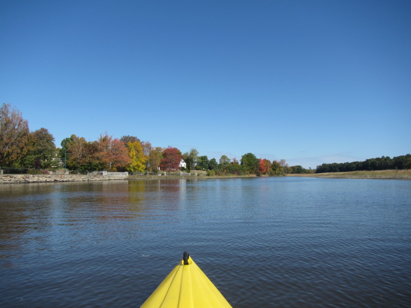
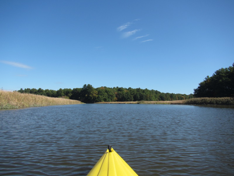
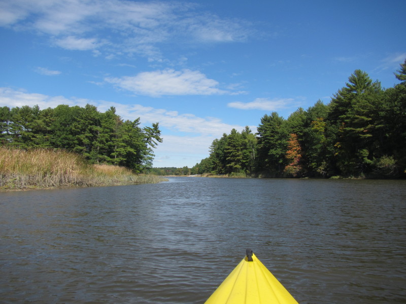
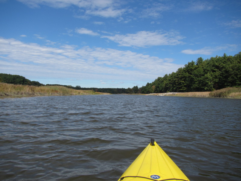
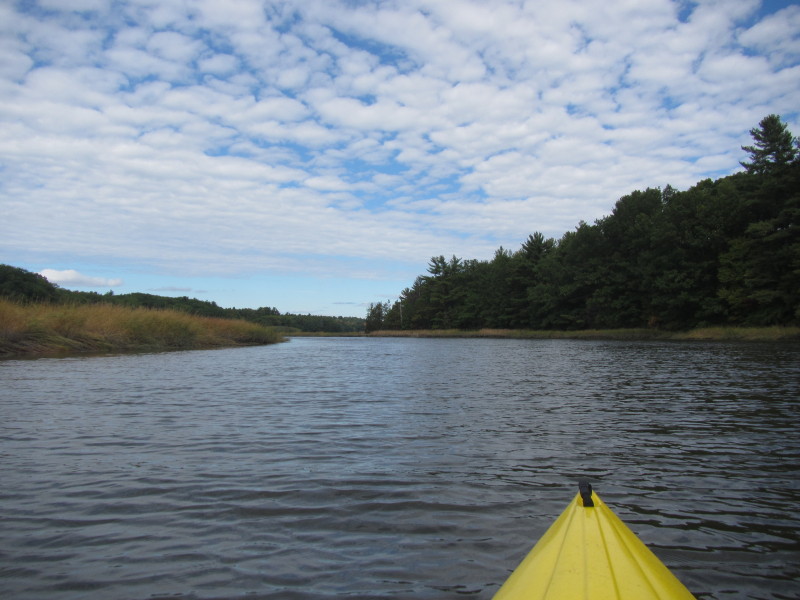
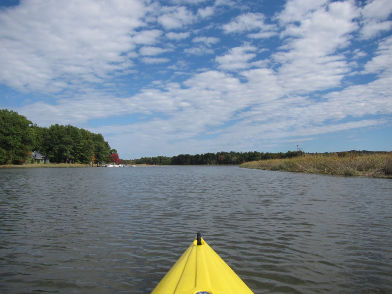
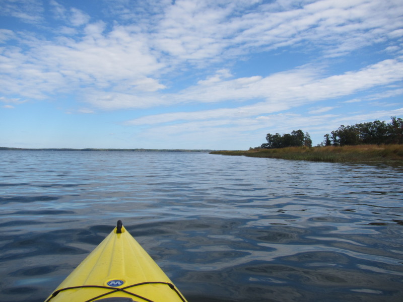
 Squamscott River continues to narrow and now beginning to feel like a river when it was lake-like before.
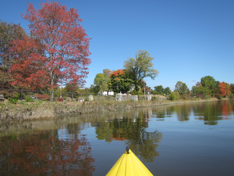
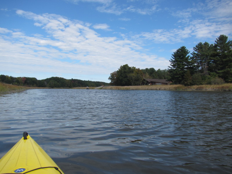
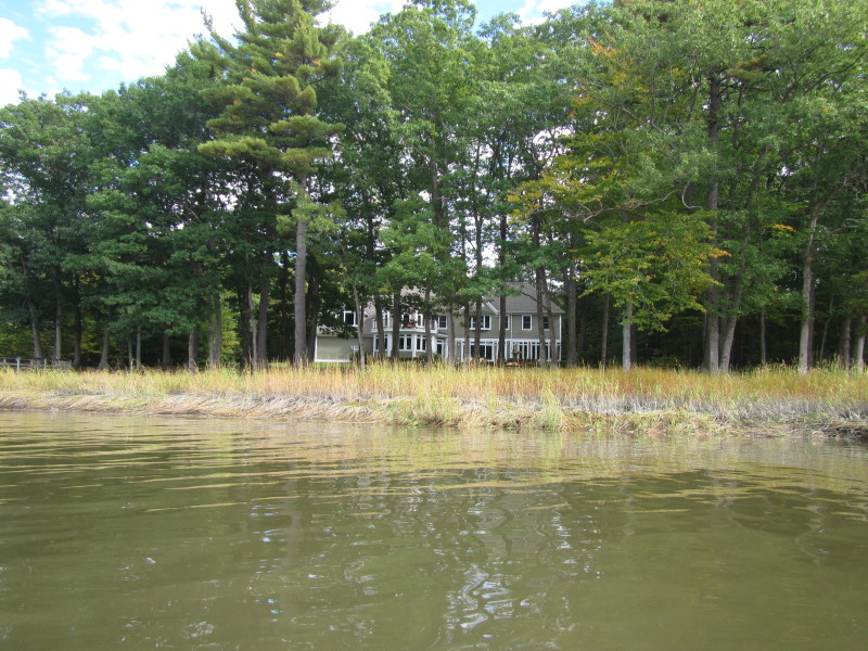
 Some kind of farm on my left.
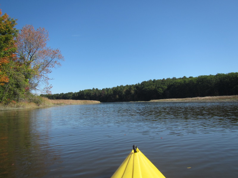
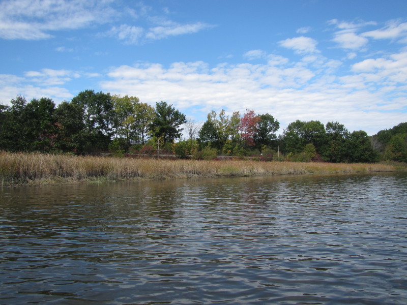
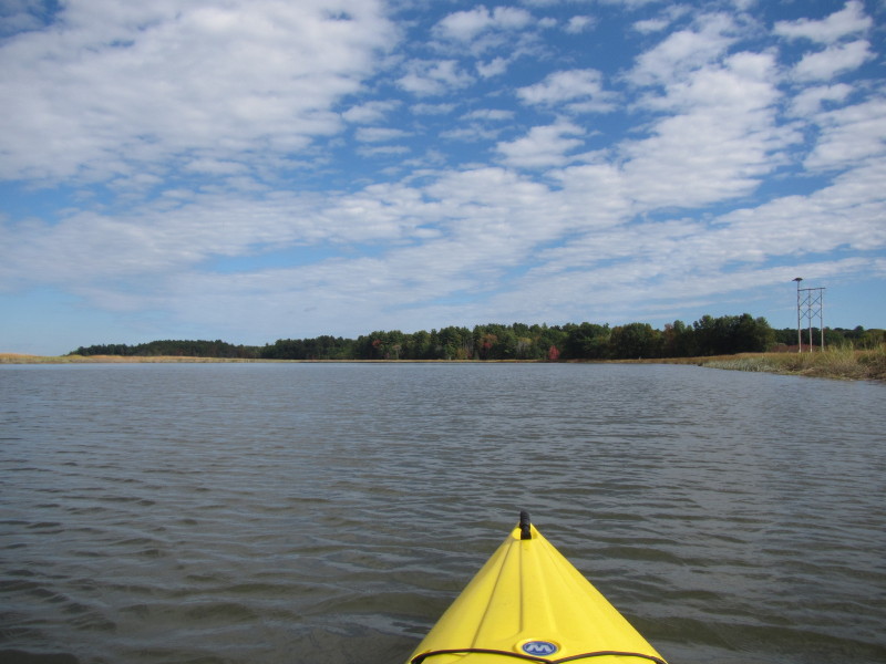
 Squamscott River bending to the left.
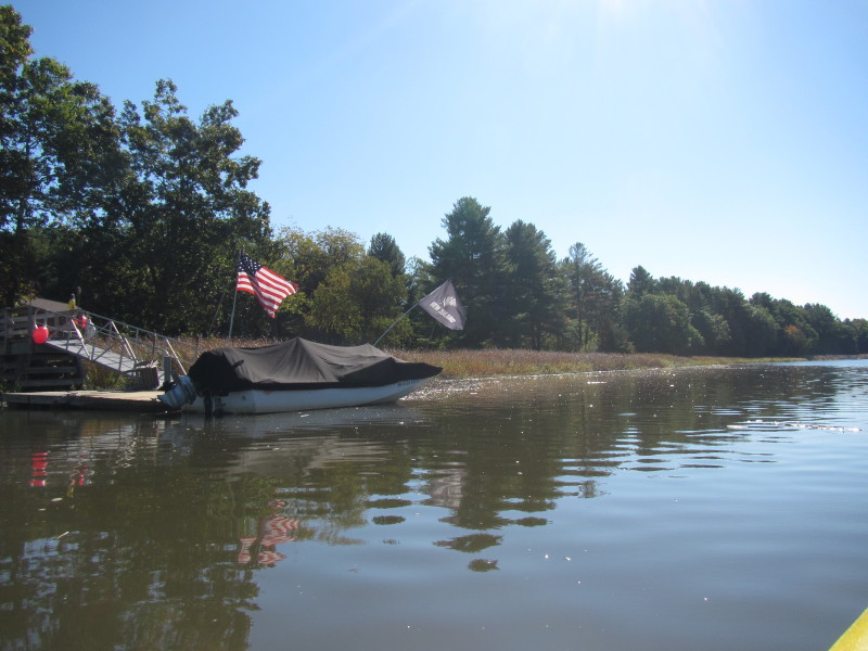
 A family on a powered boat on Squamscott River.
Kind enough to slow down when they saw me. 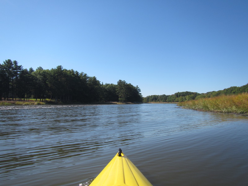
 A kiwi (native New Zealander) waving his flag on the Squamscott River.
I thought this guy is ahead of his times. They are having a referendum in New Zealand soon and have to choose a new flag. Four out of five of the choices have this fern as the main feature and this guy have this tattered fern kiwi flag. 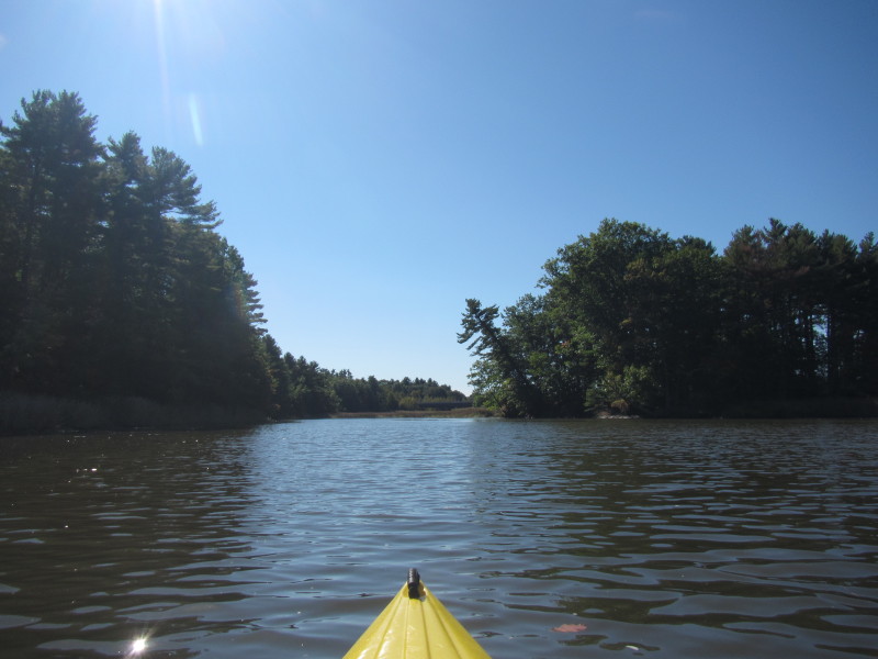
 The Route 101 bridge over the Squamscott River in Stratham NH.
 Passing under the Route 101 bridge over the Squamscott River.
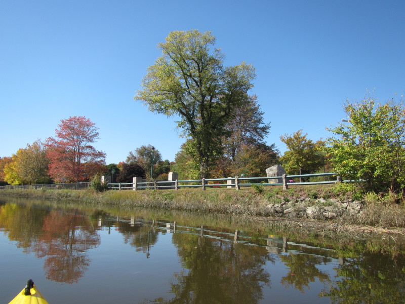 Swasey Park in Exeter NH.
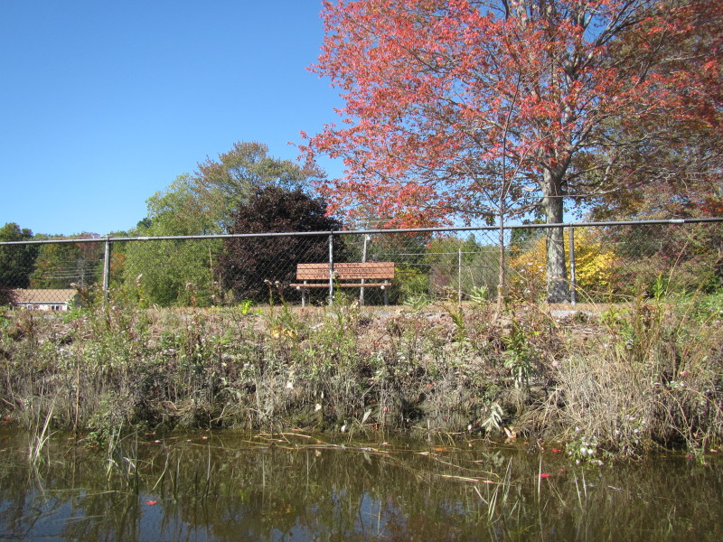
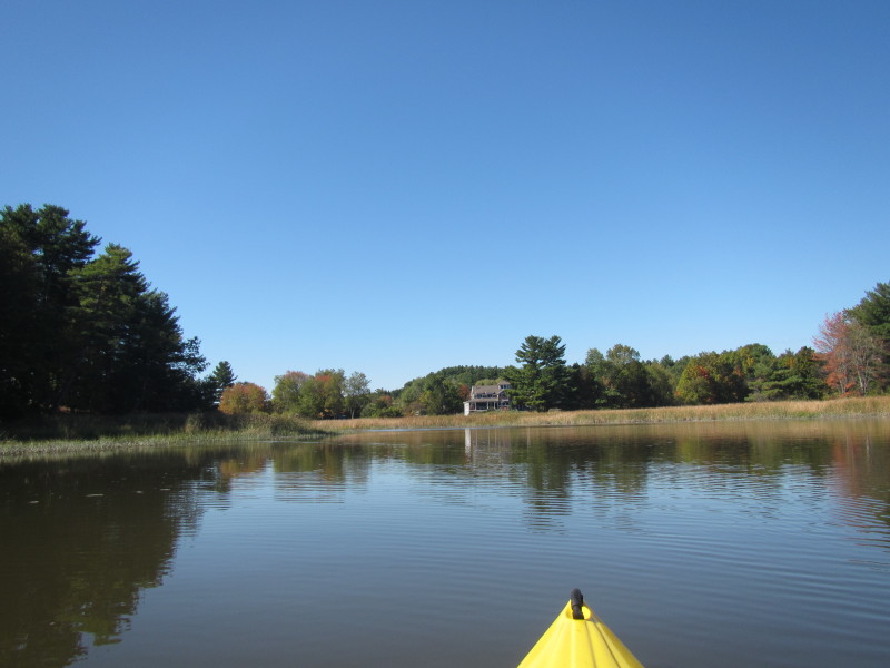
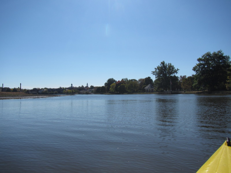 Looking at downtown Exeter NH. I decided this is my point of return.
 Just turn around and now facing downriver.
 Now paddling with the flow of the Squamscott River back to where I started.

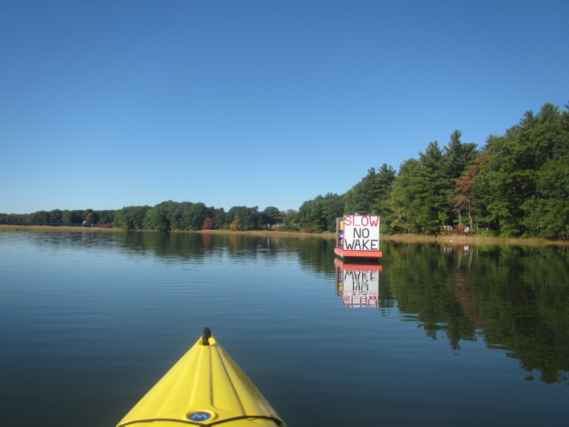
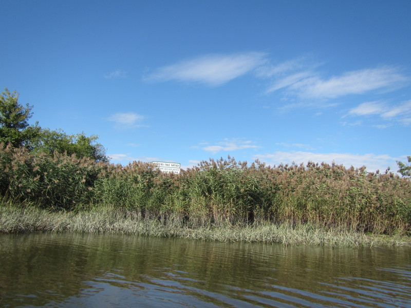 On my left is a sign warning boaters about something . . . (hard to read)
 Passing northwards under the Route 101 bridge.
 On my left (west) just north of the Route 101 bridge is the Rocky Hill brook.
 Rail road tracks on my left.
 Route 108 bridge.

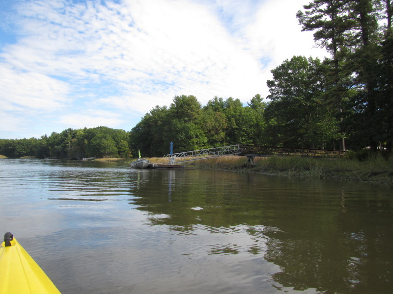
 I landed at Chapman's Landing to take a break and stretch my legs.
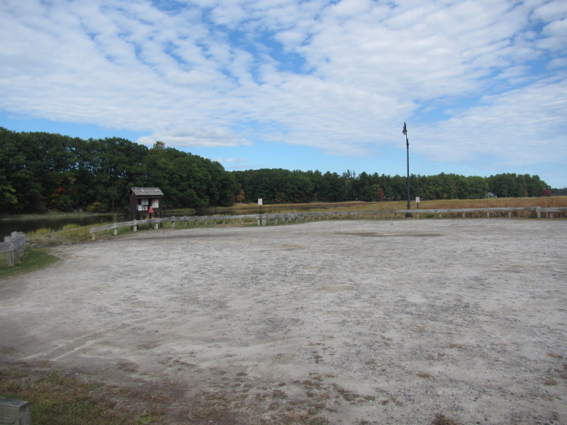 Chapman's Landing launch area. Parking area separate and not in this picture.
 I can now see the rail bridge.
 Now back at the mouth of Squamscott River and (overlap) Great Bay.
 I am getting closer to the end of this trip and will follow the coast on my right.
 Landed. Total paddle time is 3 hours 50 minutes.
|