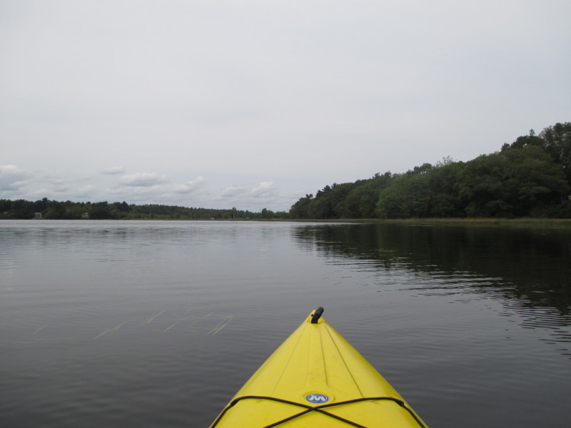
 Kayaker

|


|
Download printer-friendly
PDF version that fits in one page: |

|
|
Other resources:
Wikipedia: Snipatuit Pond All photos in this website are original and copyrighted. 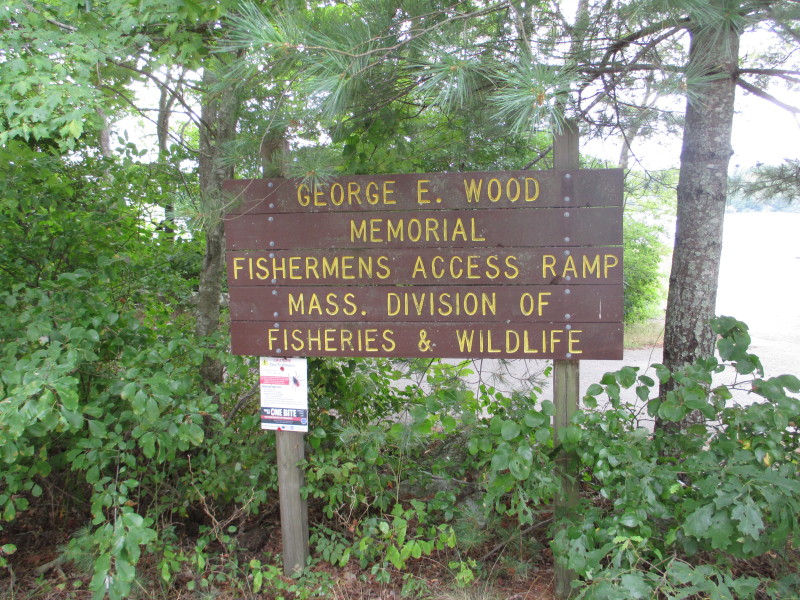 At the George Wood Memorial ramp access to Snipatuit Pond on Neck Road in Rochester MA.
Trip date is August 2016. 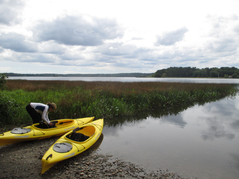 The Boston Kayaker's daughter ready to launch to Snipatuit Pond.
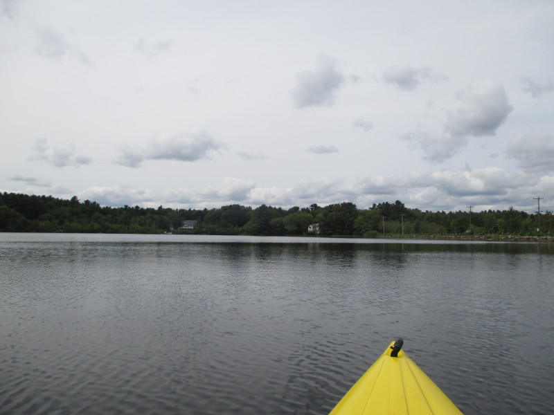
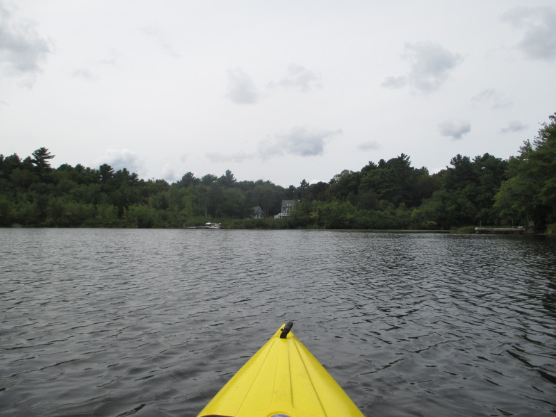
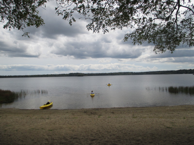
 The Boston Kayaker just launched on Snipatuit Pond in Rochester MA.
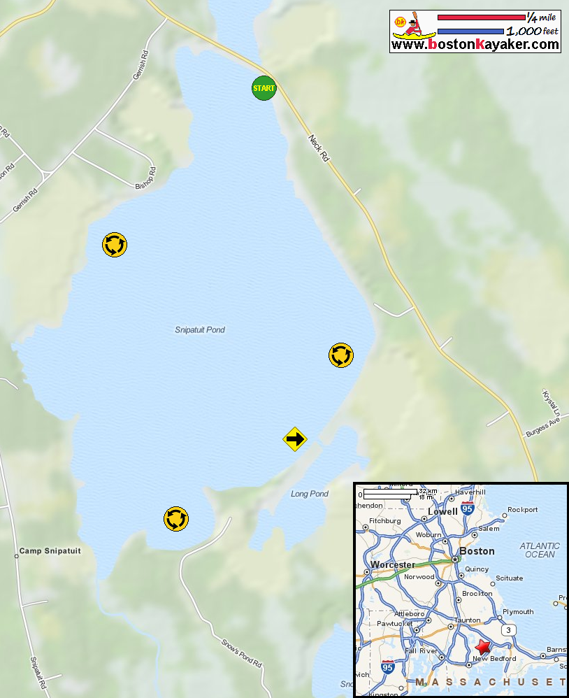
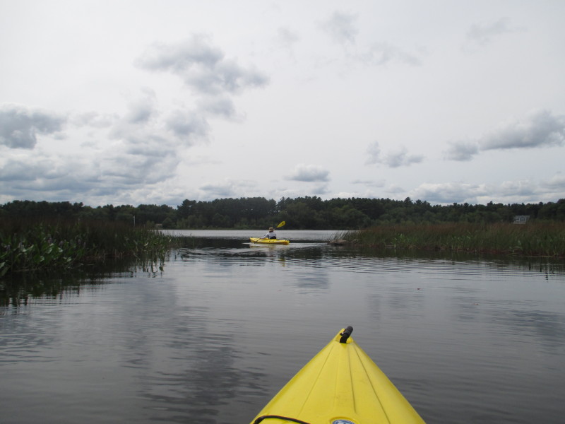
 Out of the launch cove, veering right to circle the Snipatuit counter-clockwise.
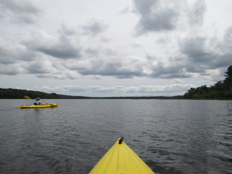
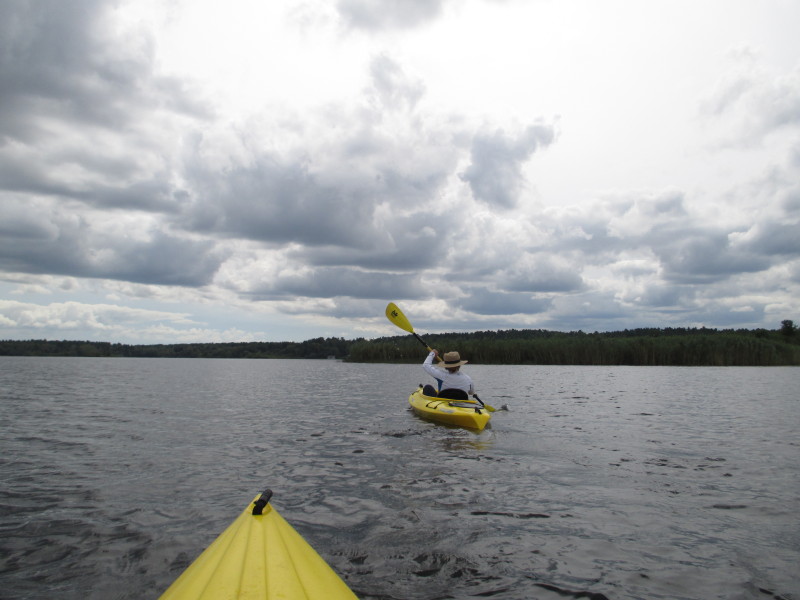
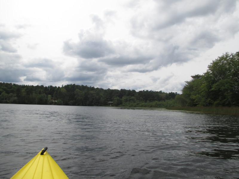
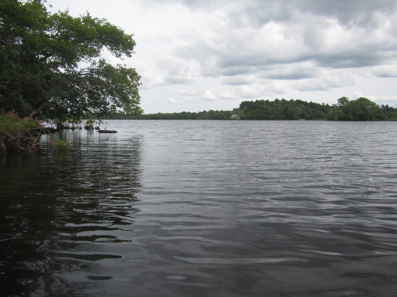
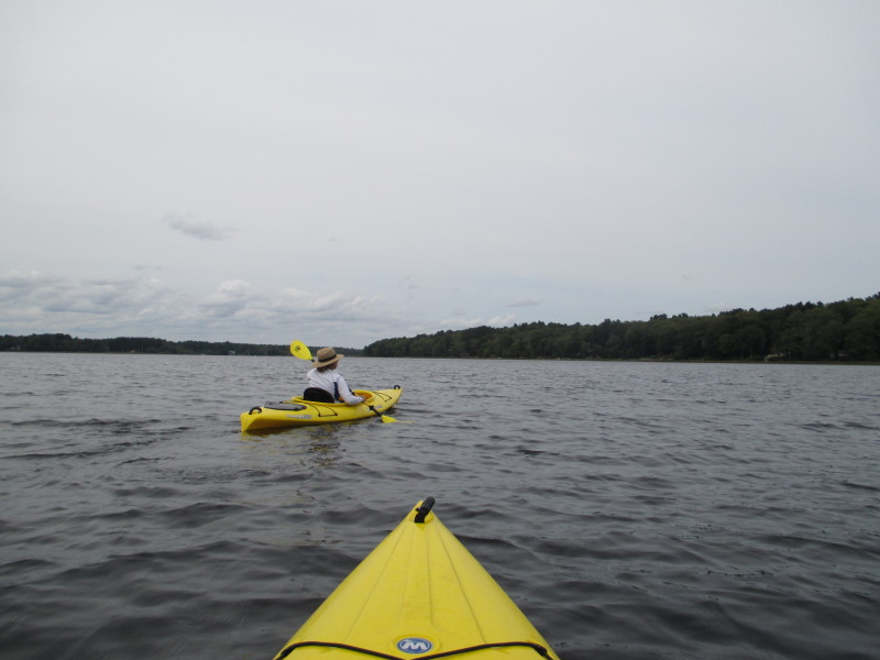
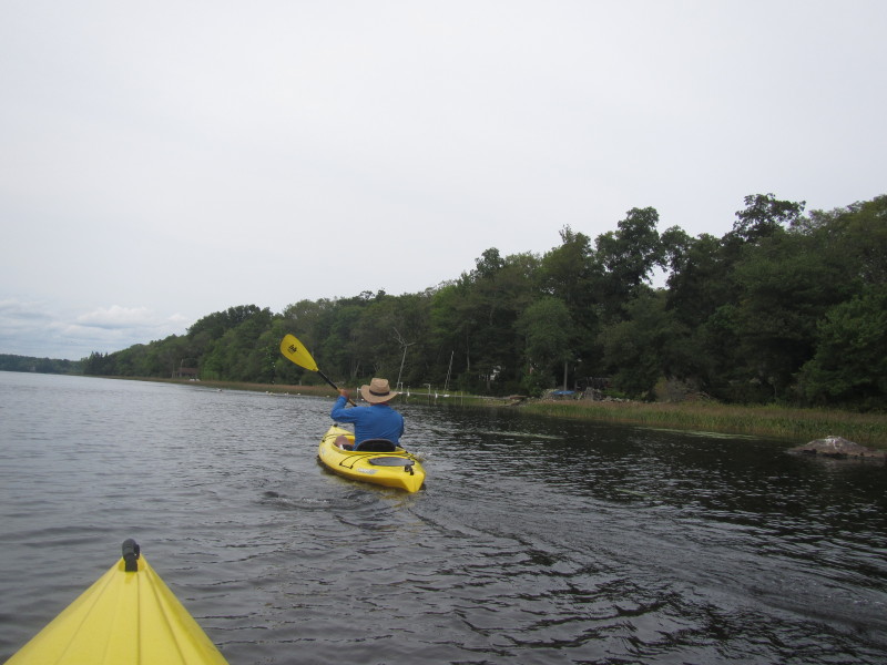
On right of picture is Neck Road. 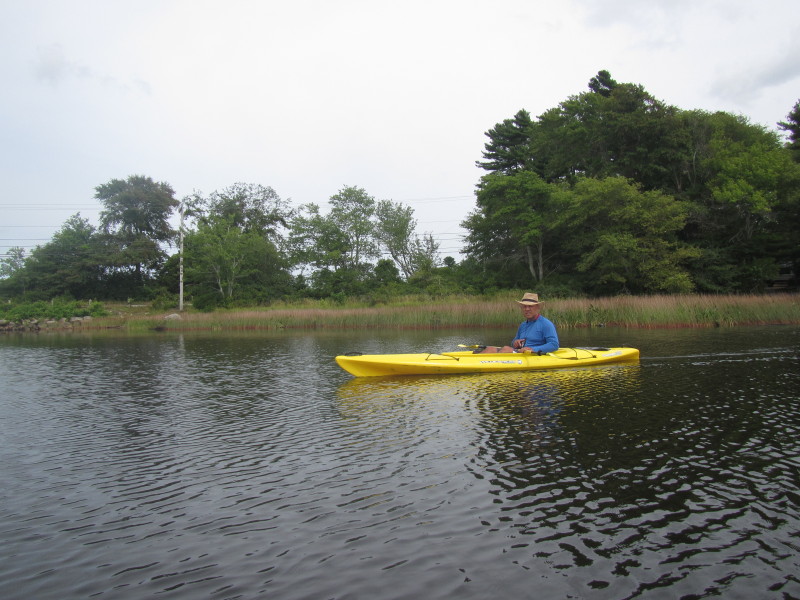 The Boston Kayaker on Snipatuit Pond.
 On our right is Neck Road.

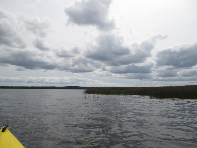
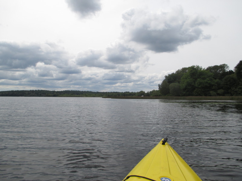
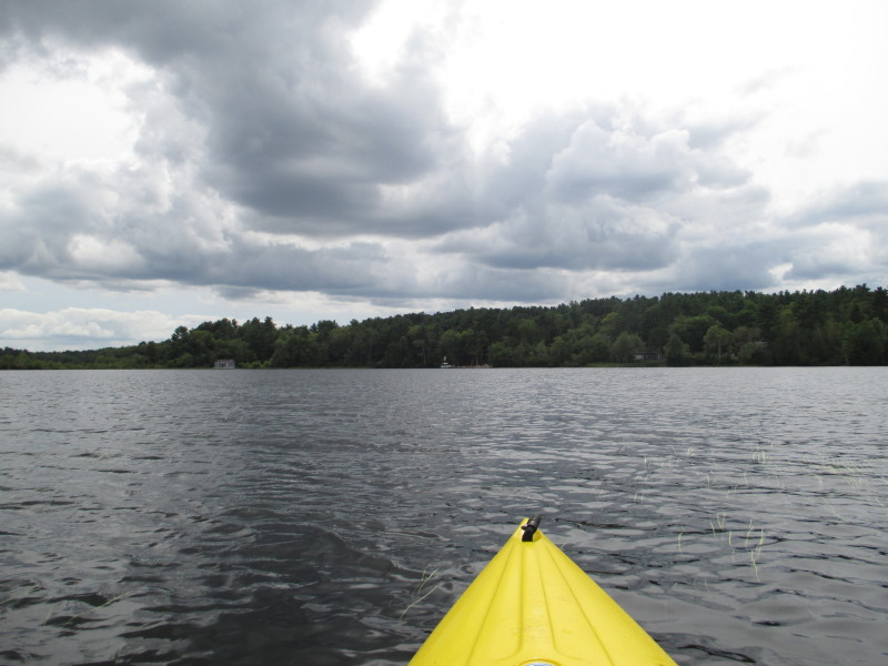
 Ahead is the northeastern corner of Snipatuit Pond.
 Turning left from the northeast corner.
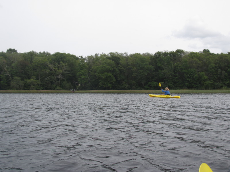
 Now paddling south following the shores on our right.
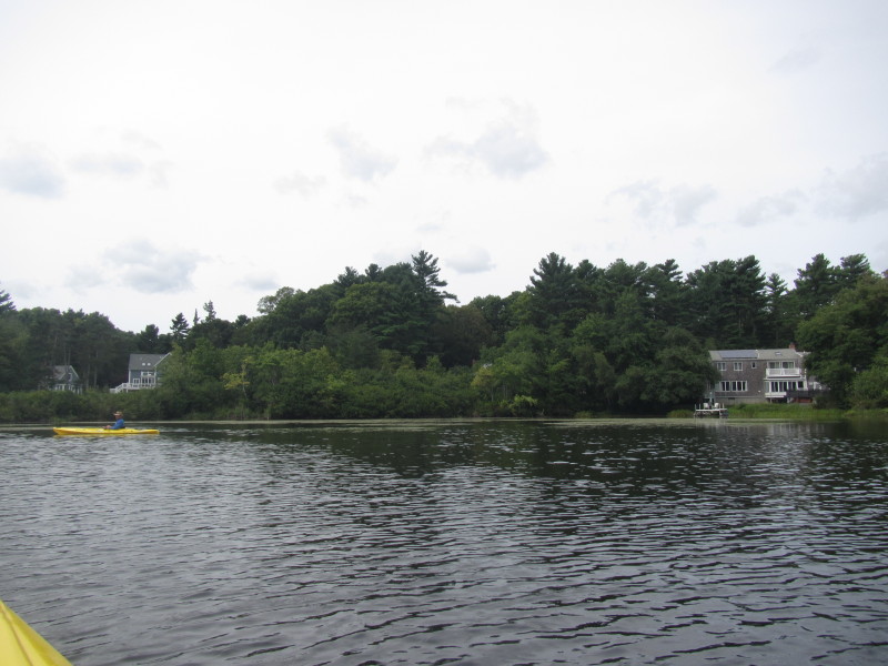
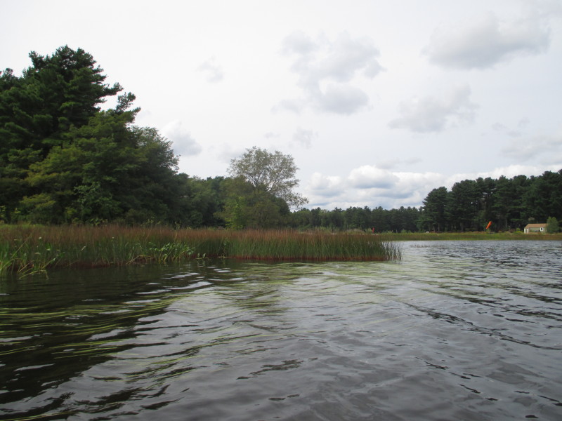
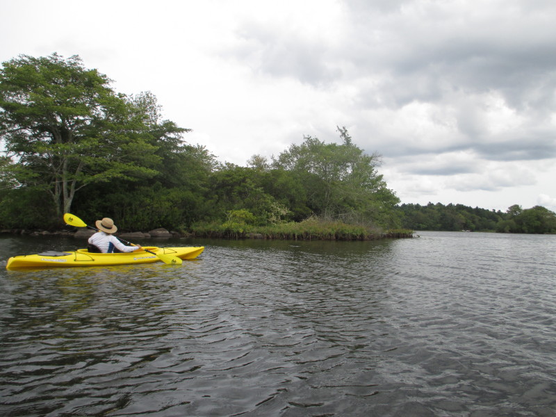
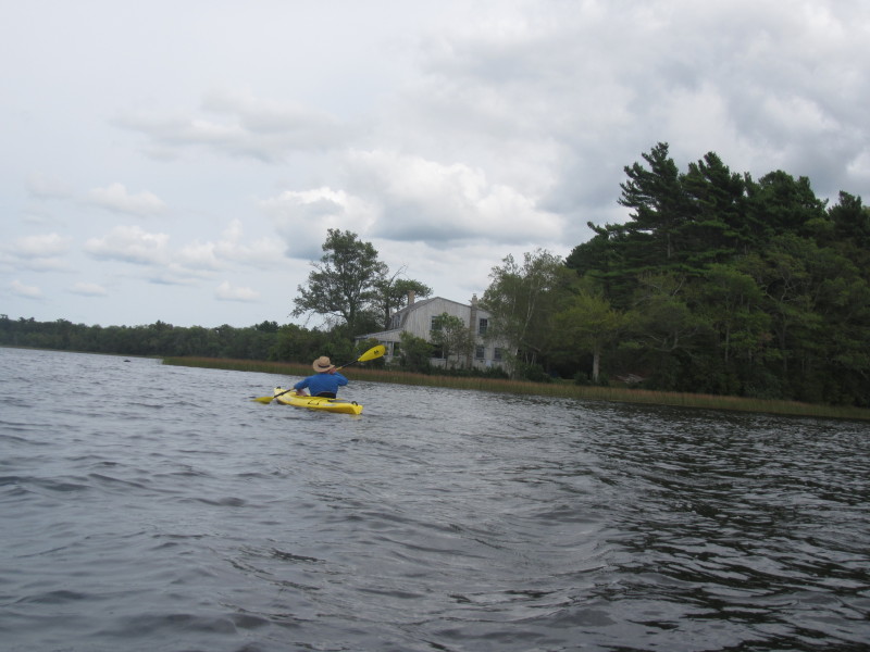
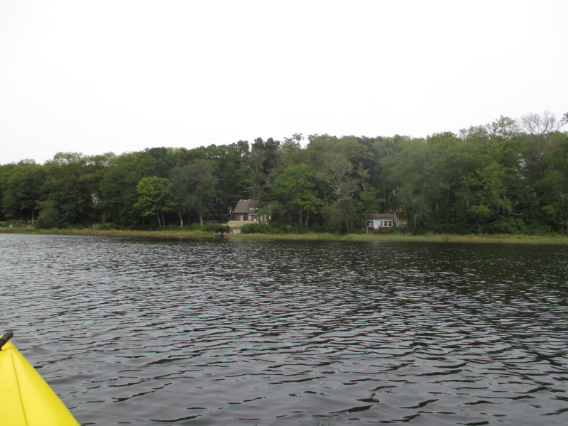
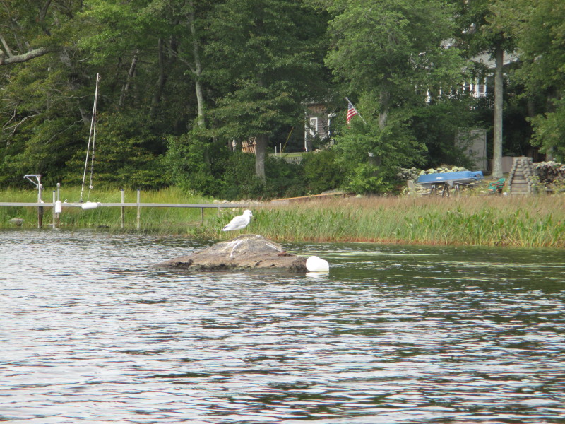
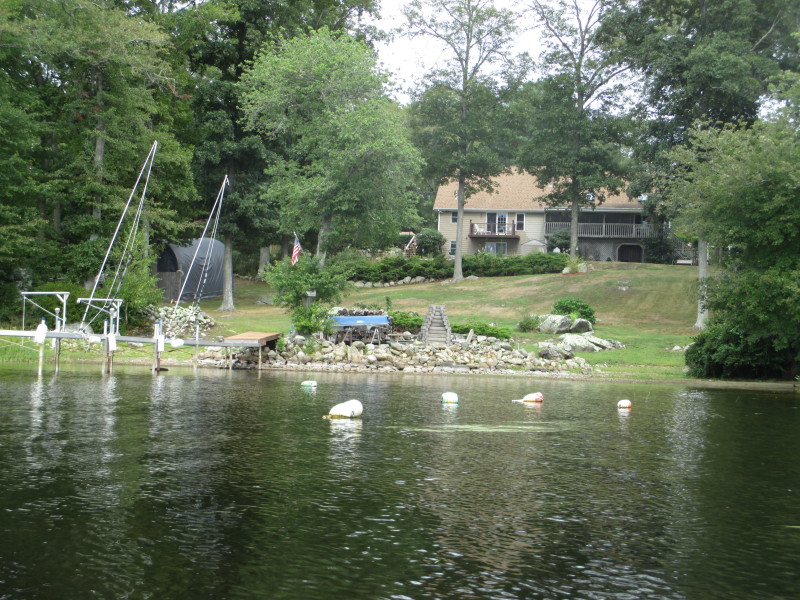
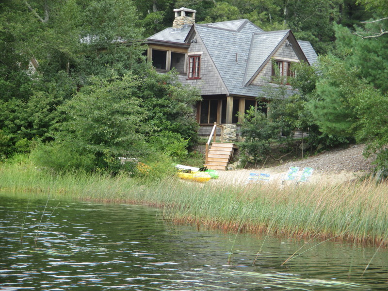
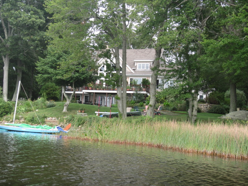
 Most of the coastline on Snipatuit is private property but the houses are set back.
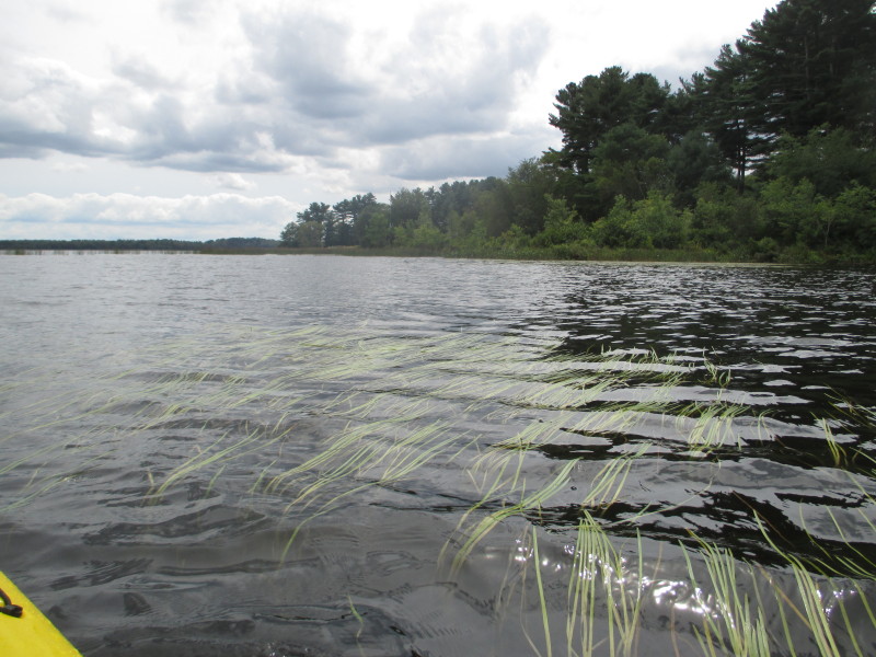
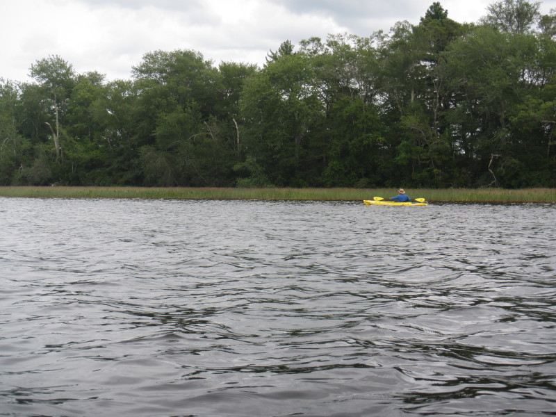
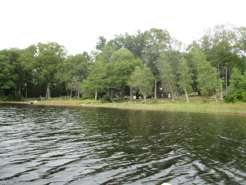
 Continuing southerly following the shoreline on right.
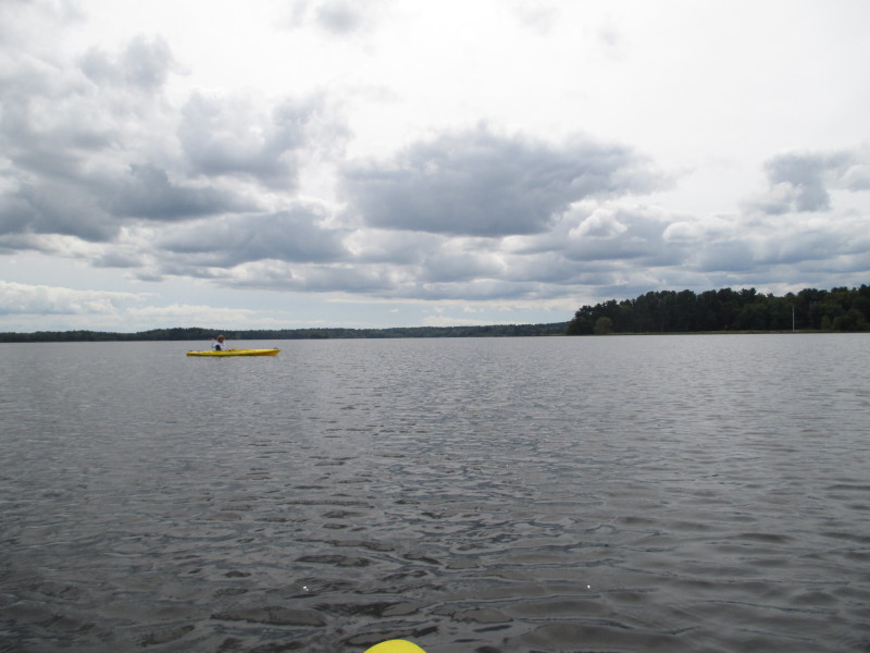
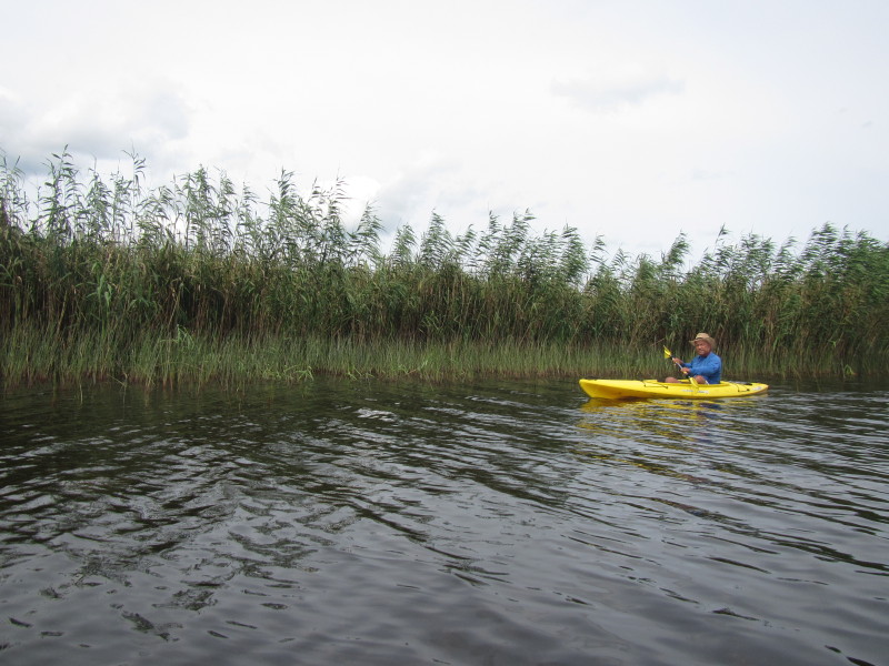
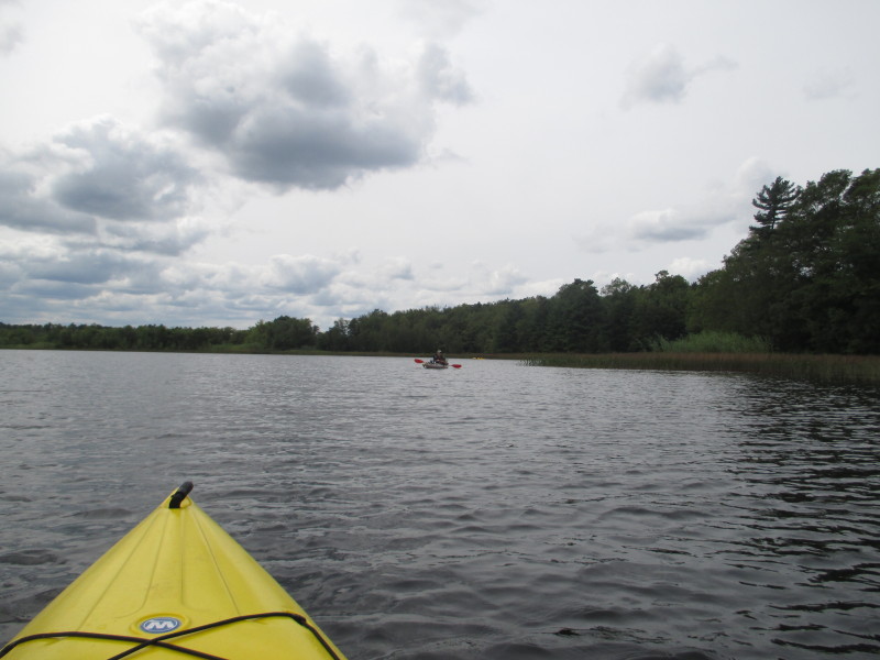 A kayaker fisherman on Snipatuit Pond.
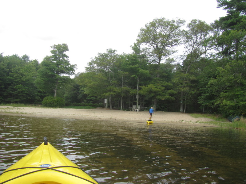
 A small patch of sandy beach I decided to check out.
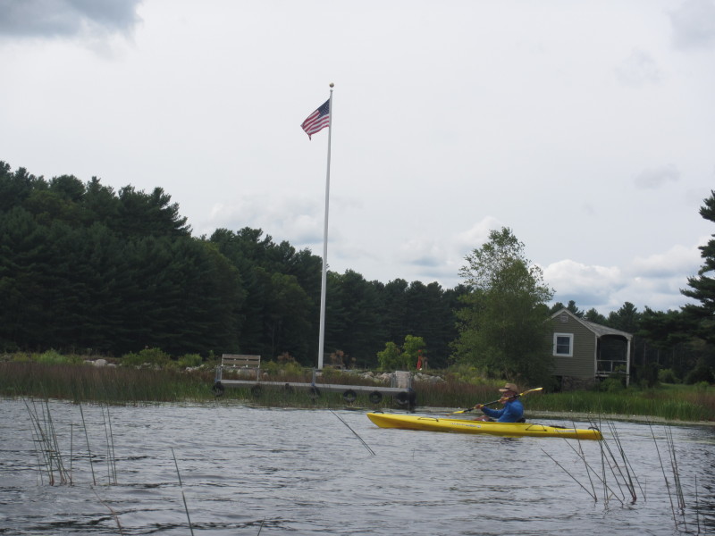
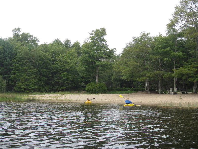
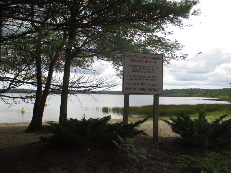 A private beach on Bishop Road for residents of the village.
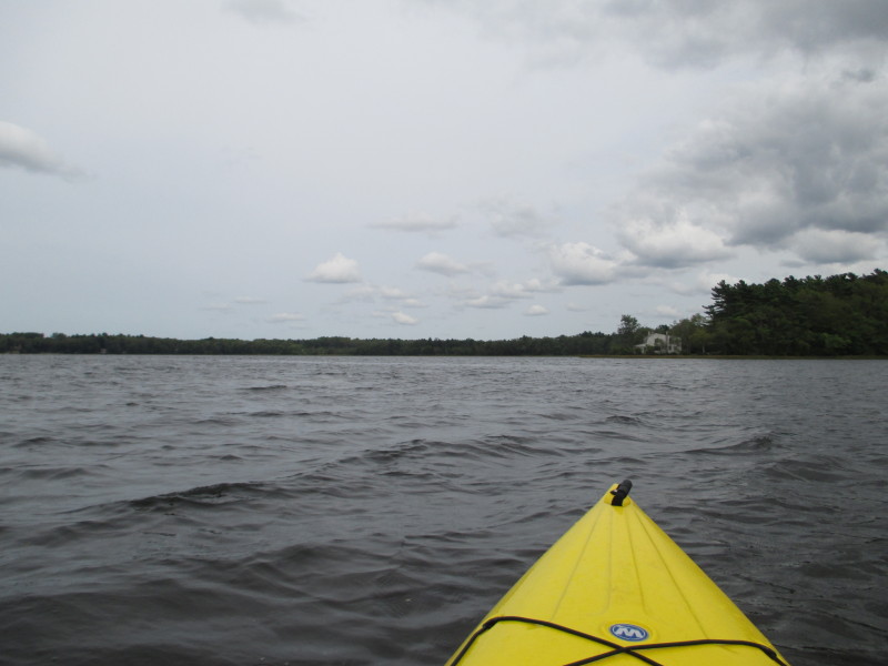
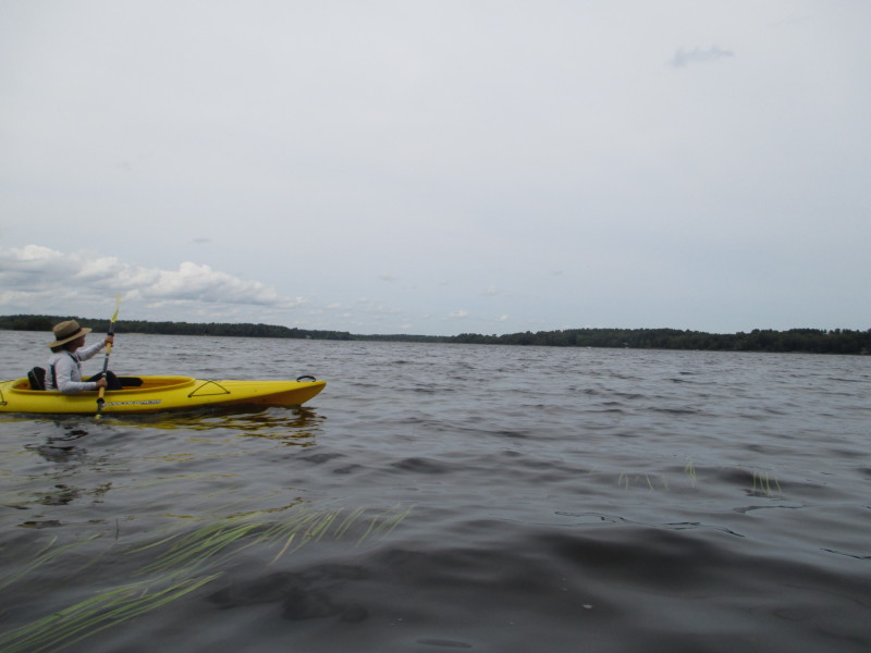
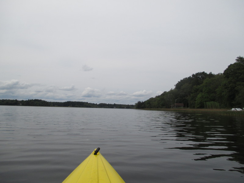
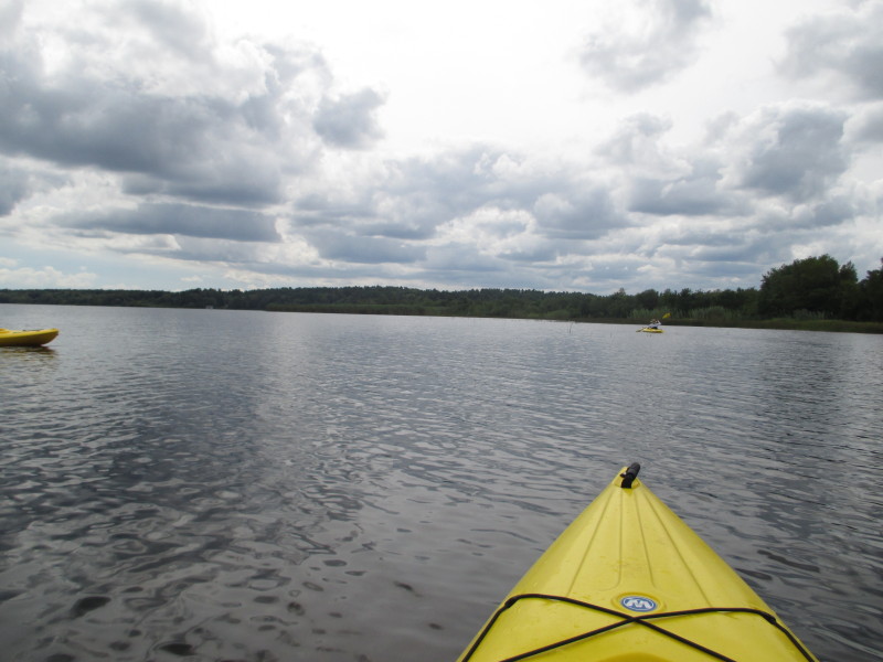 Back on the waters of Snipatuit.
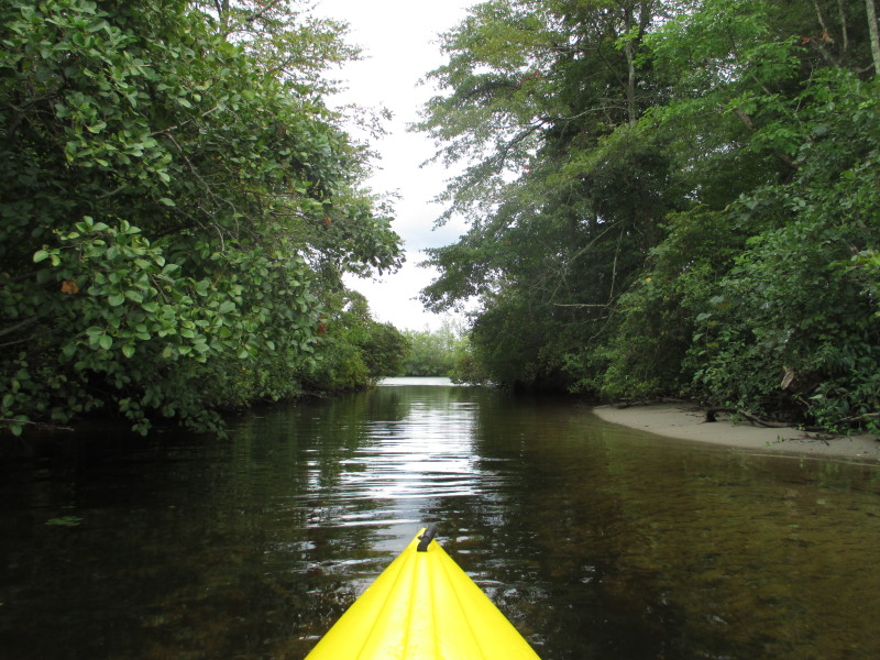
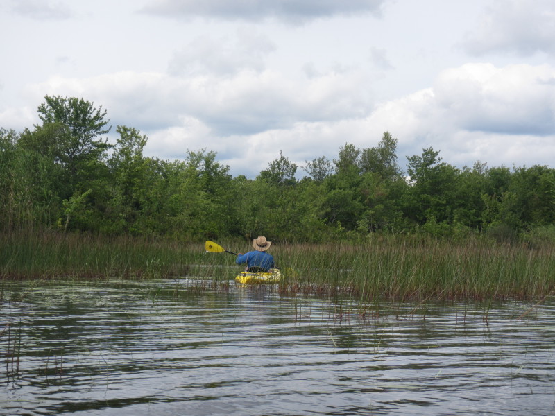 There is this potential inlet or outlet on our right I am checking out . . .
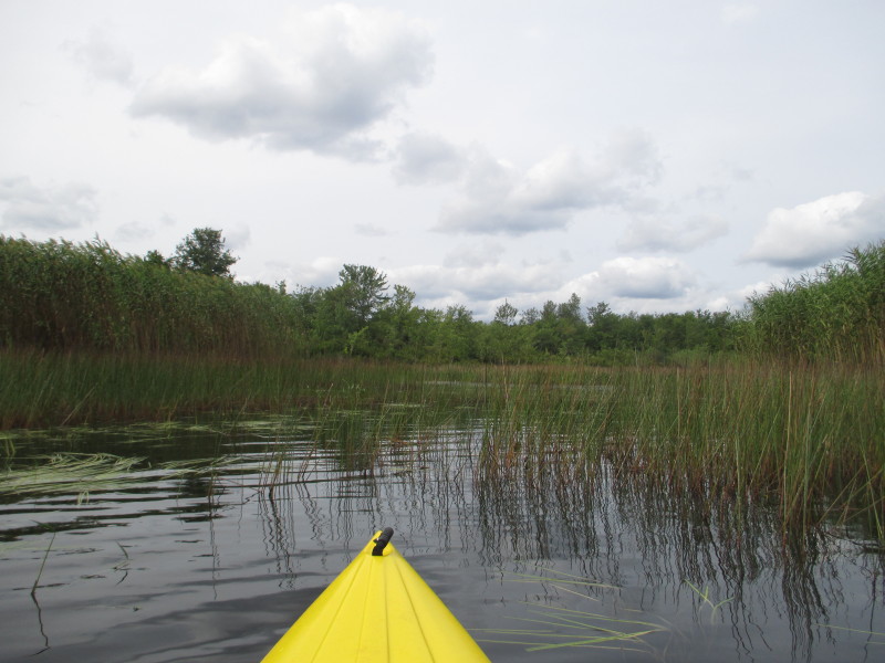
 Not much to see here . . .
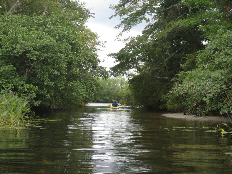
 Just turned around.

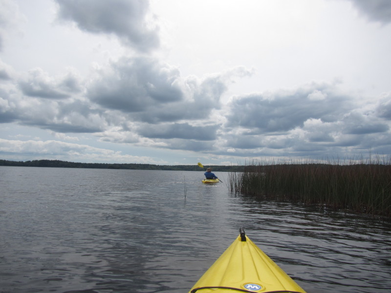
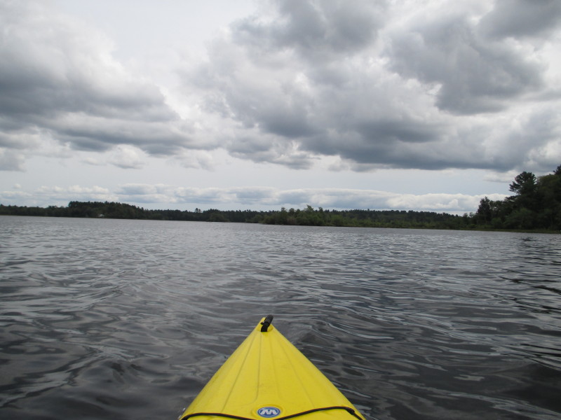
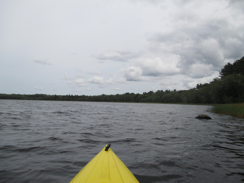
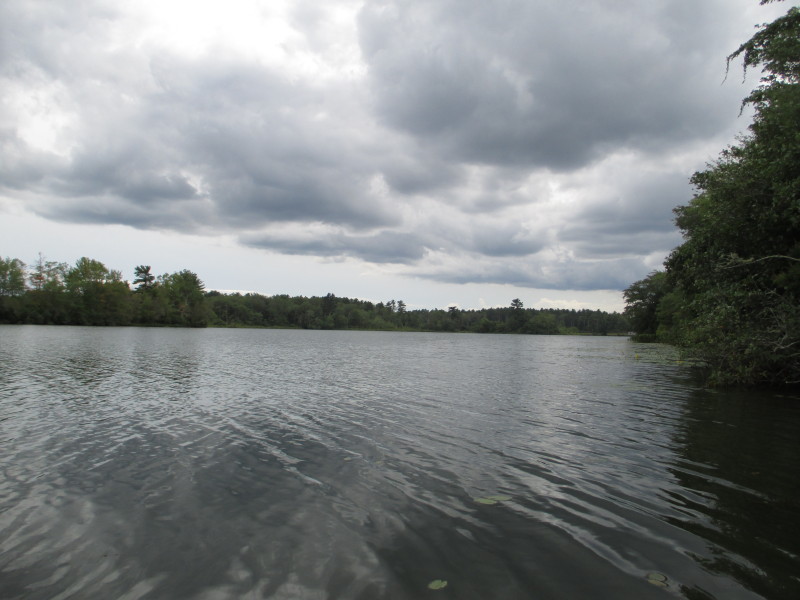
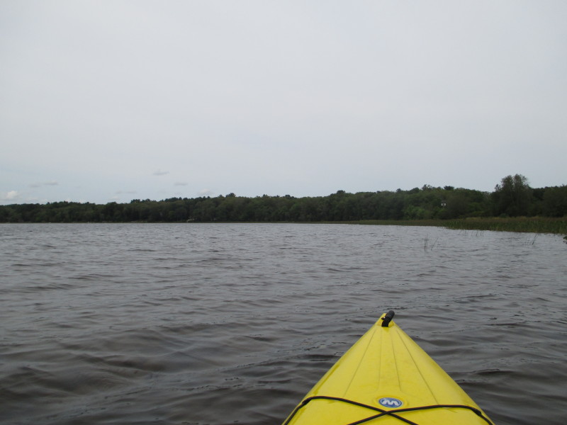
 The wind is creating small waves.
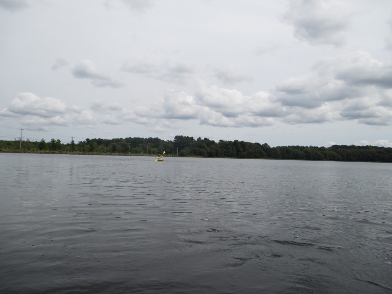
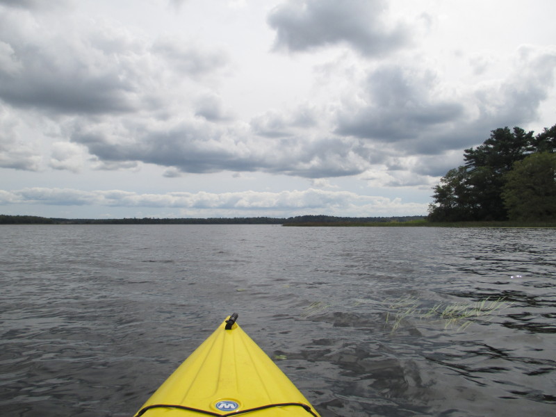
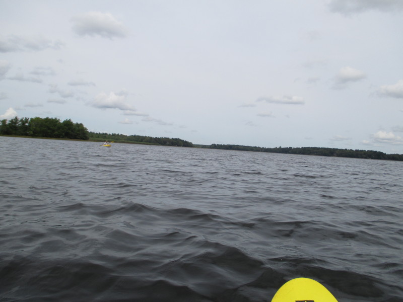
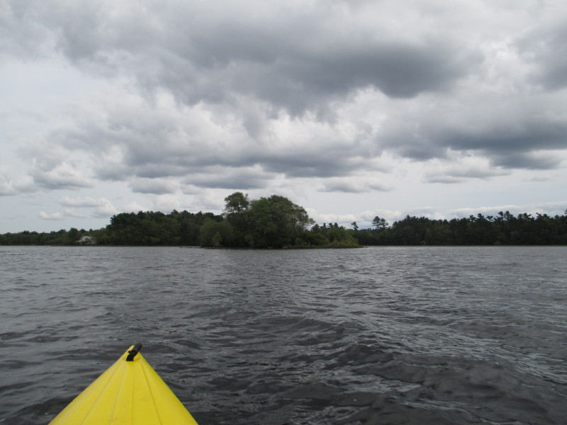
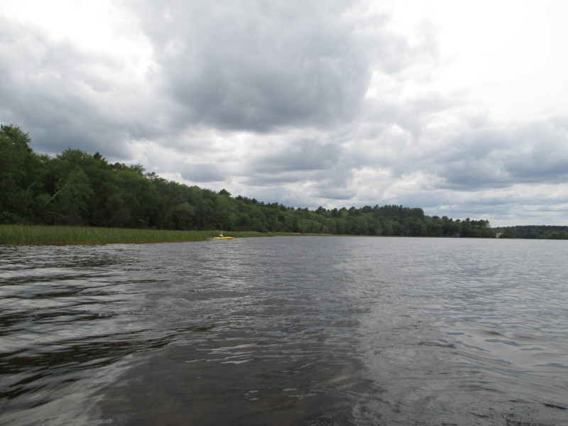
 Heading to the south corner of Snipatuit Pond.
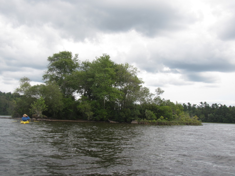
The Low Bush Island center of picture. 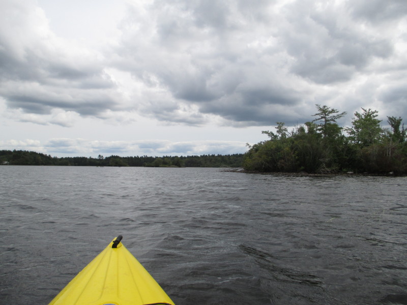
 Low Bush Island.
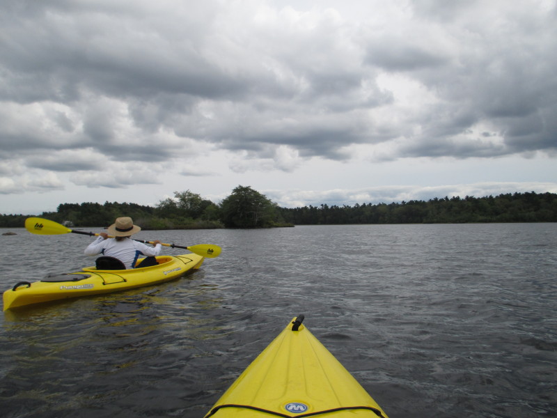
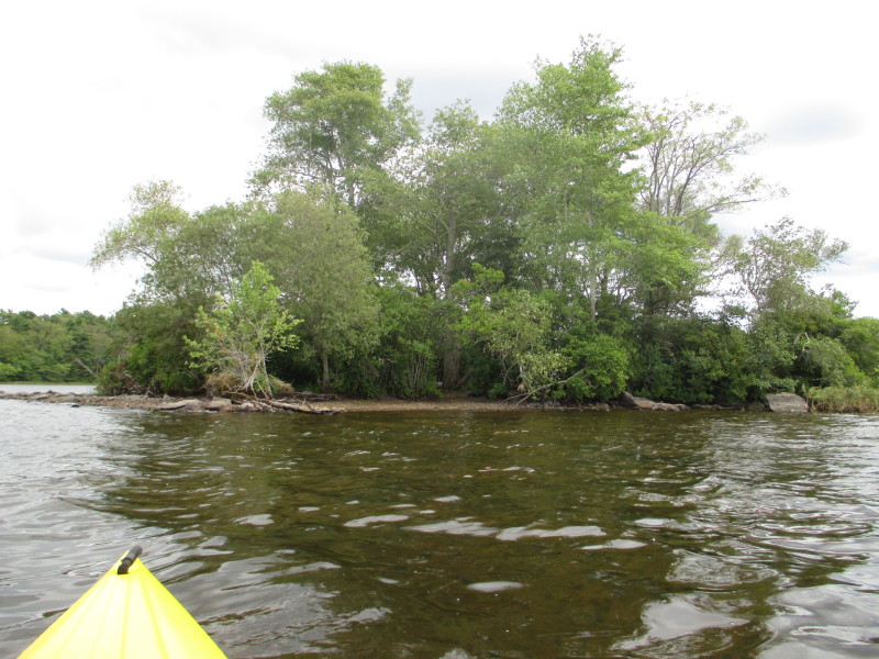
 On to the next island the High Bush Island.
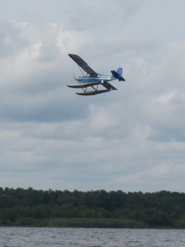
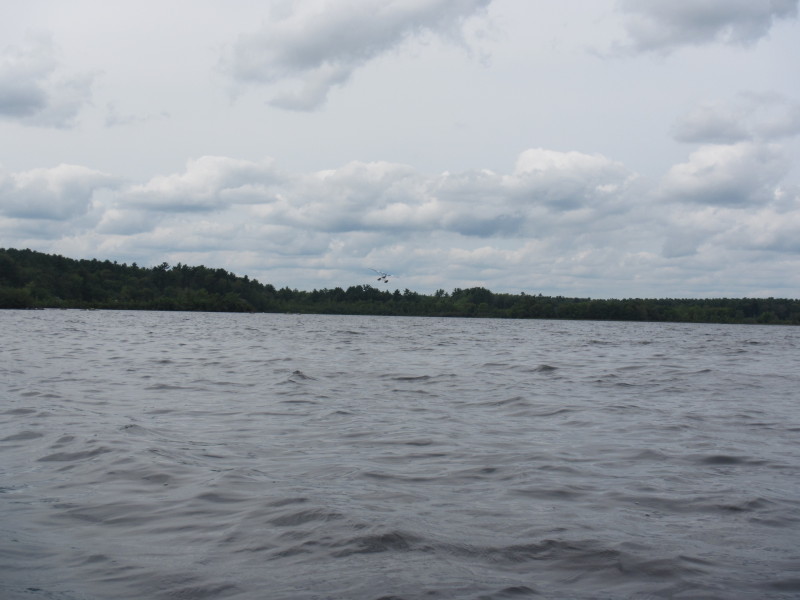
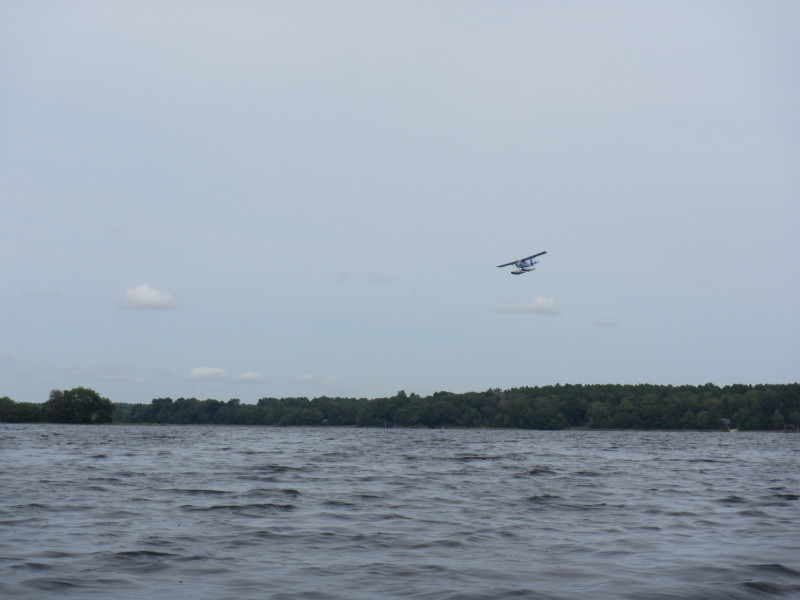 An airplane that will soon land on the waters of Snipatuit.

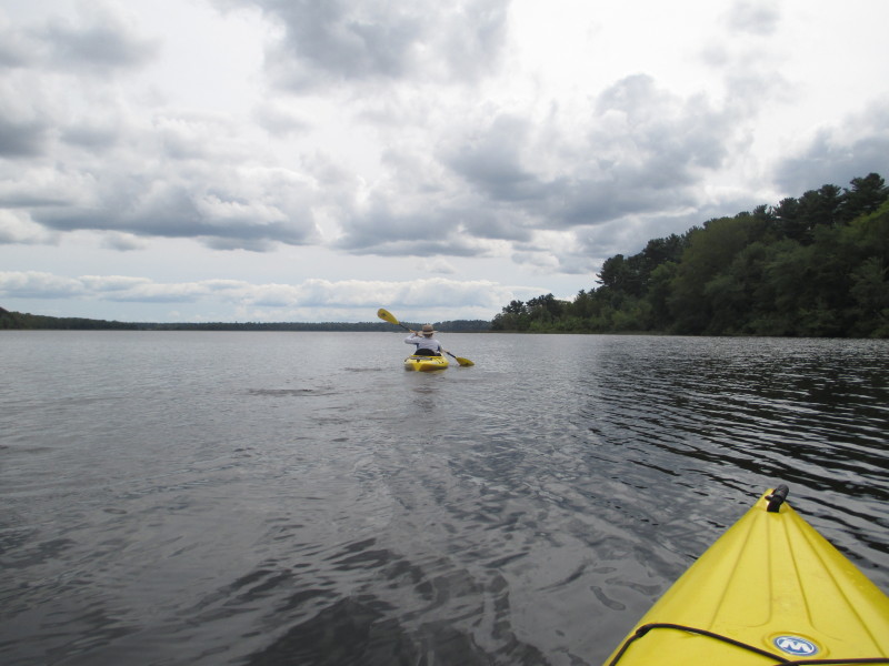
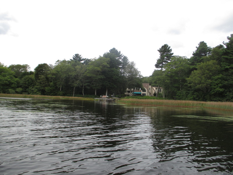
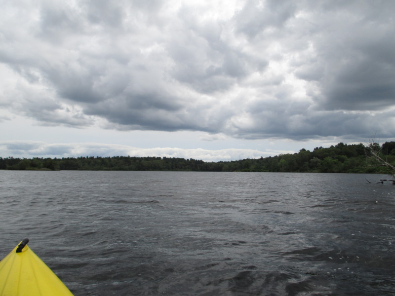
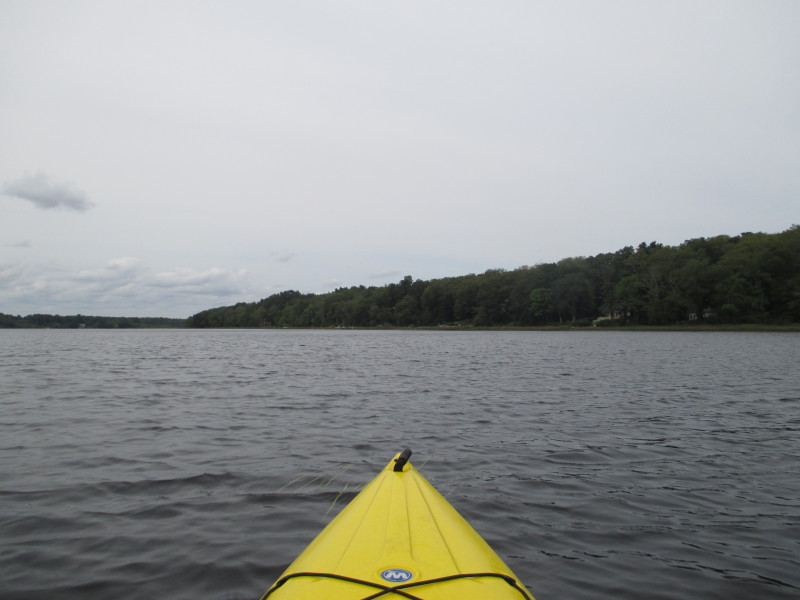
 Now approaching the eastern shore.

 Now paddling northwards with the eastern shore on our right.

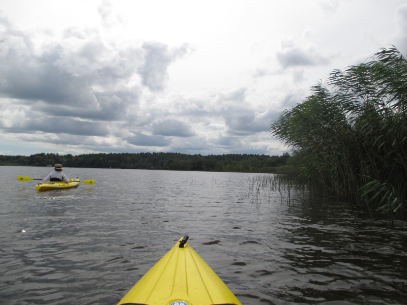
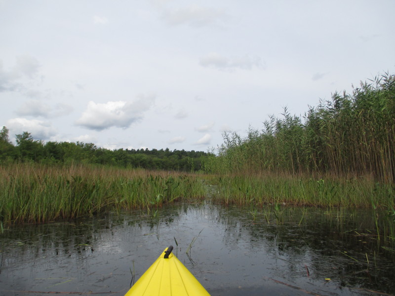
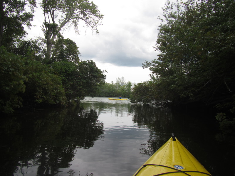
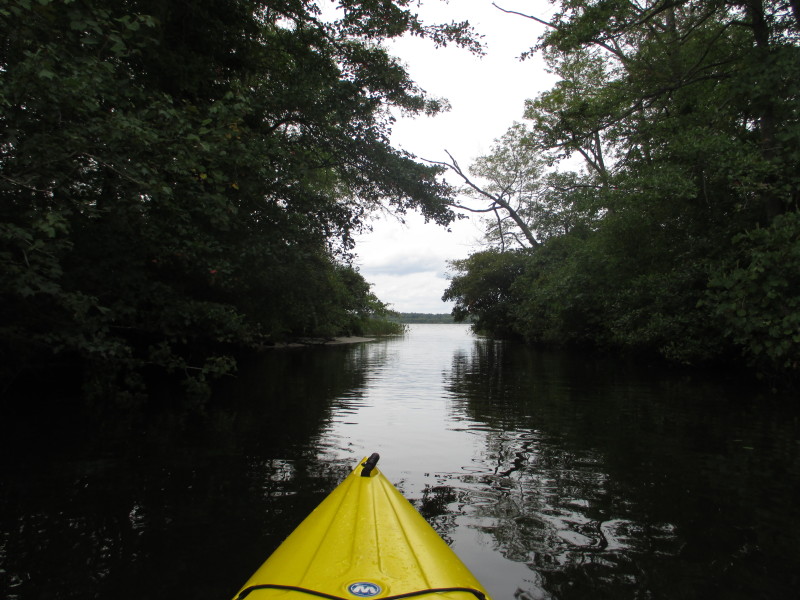
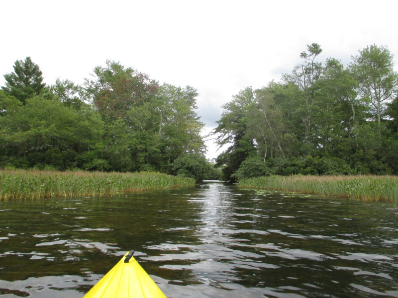 The canal connecting to Long Pond.
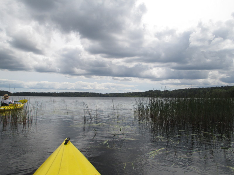
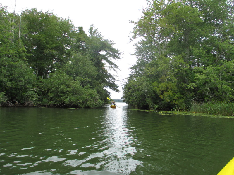
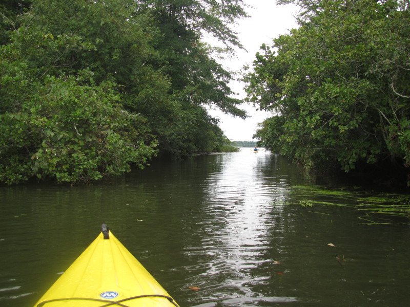
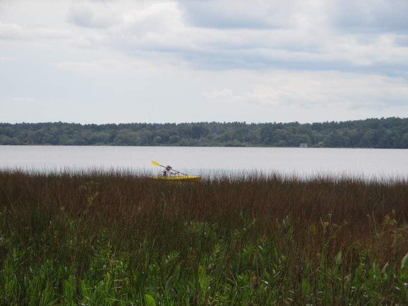
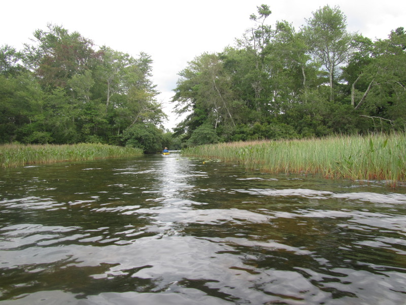 Checking out Long Pond.
 Looking to my right, the rest of Long Pond.
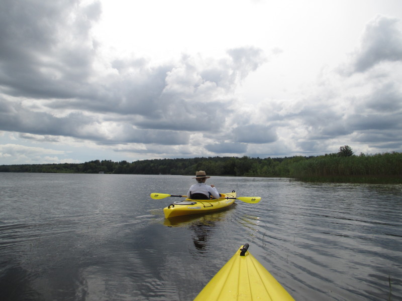
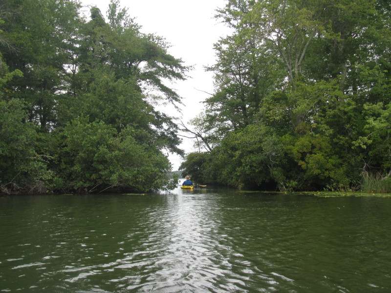
 My daughter behing now entering Long Pond.
 Re-entering Snipatuit Pond.

 Back on Snipatuit, continue to the right northwards.
 My daughter coming in from Long Pond.
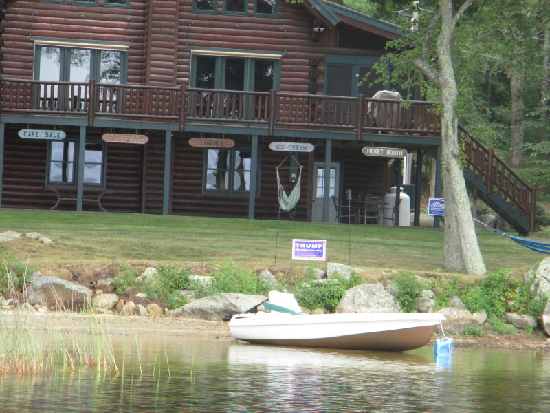 A Donald Trump supporter.
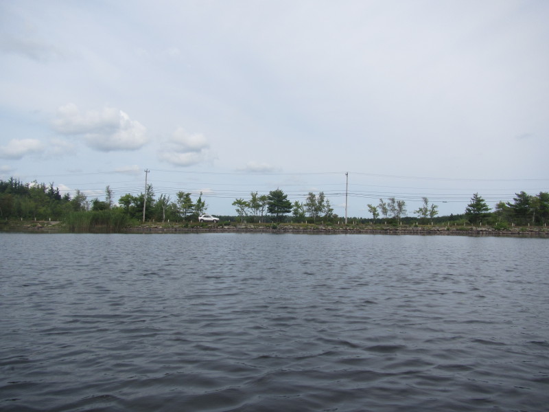
 I can see Neck Road.
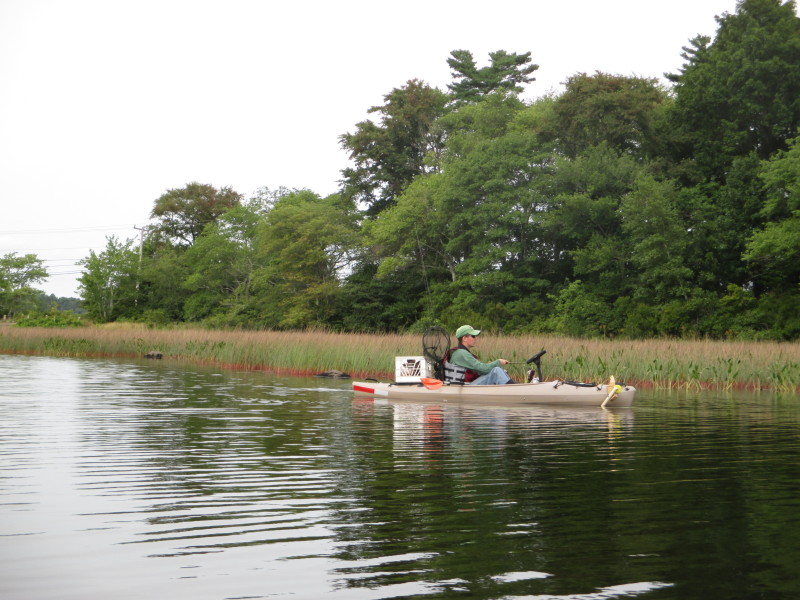 The same kayaker fisherman I saw earlier.
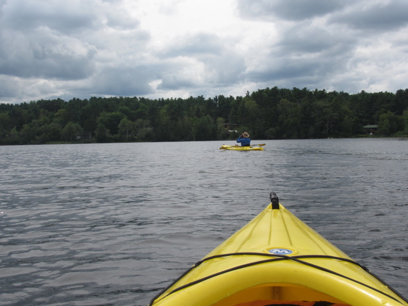
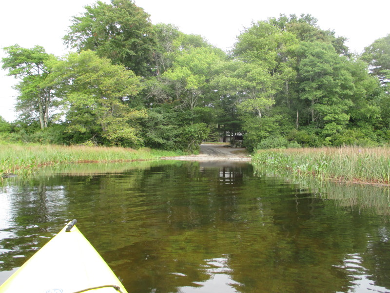
 Approaching the launch area at Neck Road.
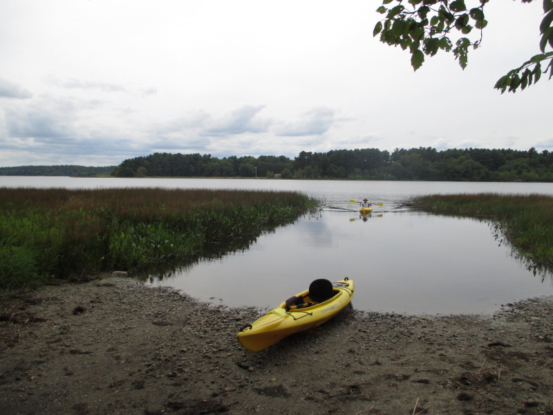 Landed. Paddle time is 1 hour 35 minutes.
|