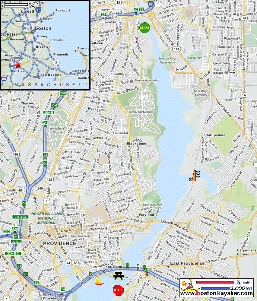
 Kayaker

|


|
Download printer-friendly
PDF version that fits in one page: |

|
|
Other resources:
Explore RI's Blueways and Greenways: Pawtucket Town Landing Explore RI's Blueways and Greenways: Bold Point Park Rhode Island Harbors: Providence Harbor Tide Chart Community Boating Center of Providence RI Explore RI's Blueways and Greenways: Roger Williams Trail Map (pdf) Explore RI's Blueways and Greenways: Roger Williams Trail Map (cached copy) All photos in this website are original and copyrighted. 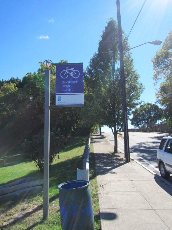
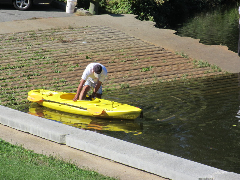
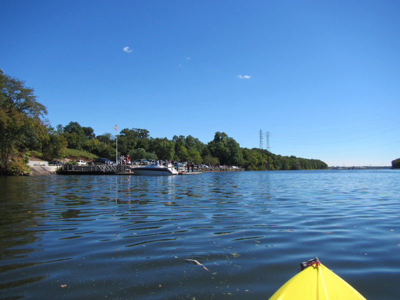
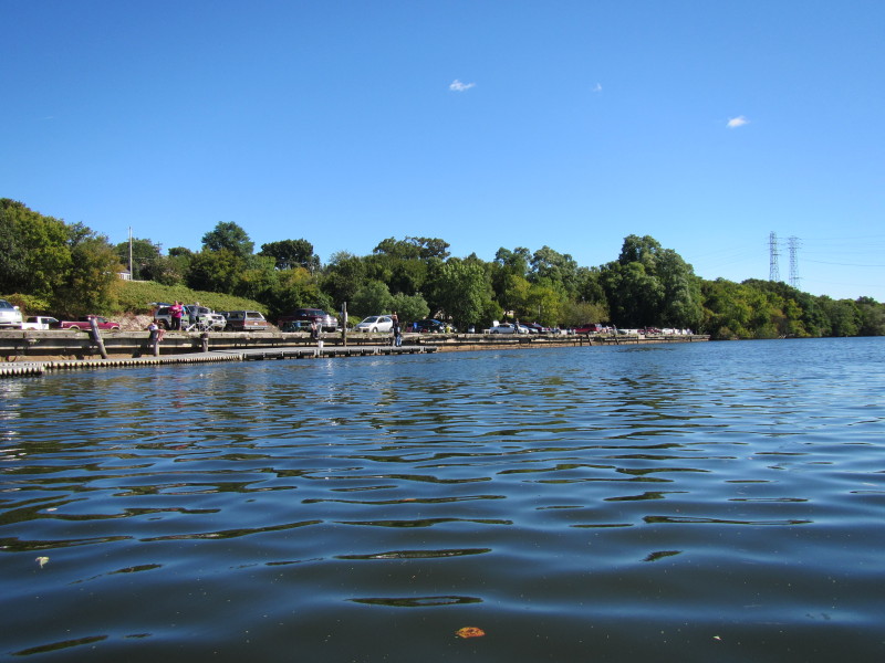
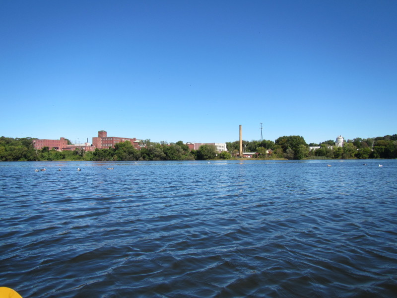
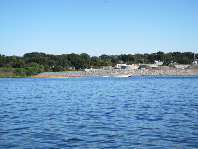
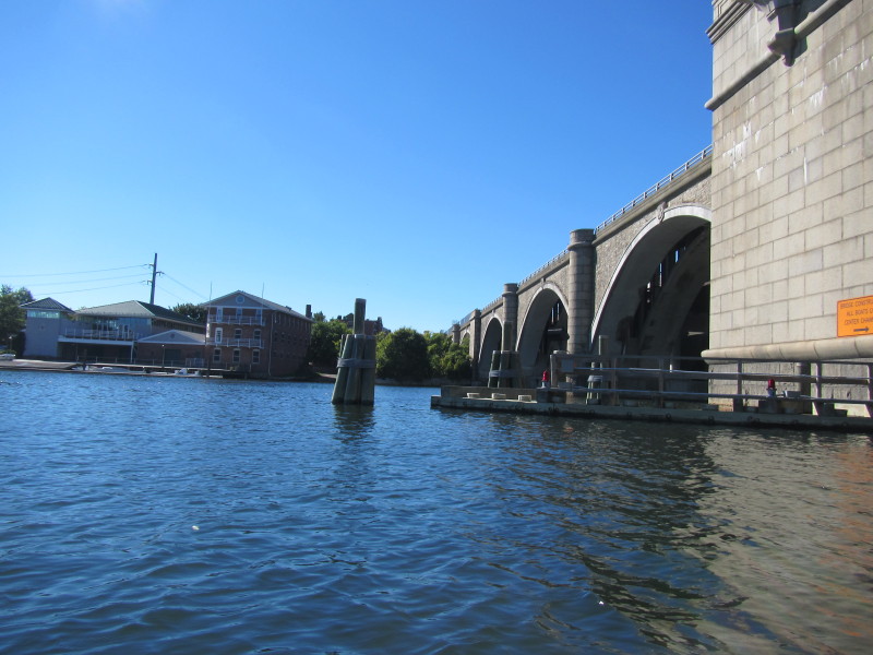
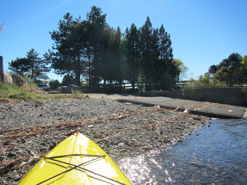
At Pawtucket Landing access to the Seekonk River on Taft Street in Pawtucket RI. 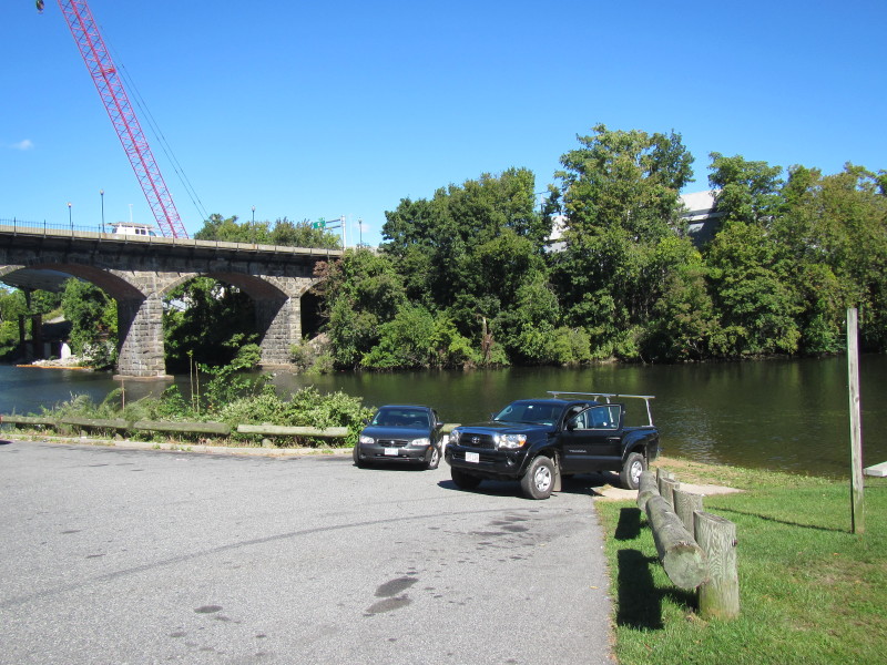 To the left of the launch area is the Division Street bridge arches.
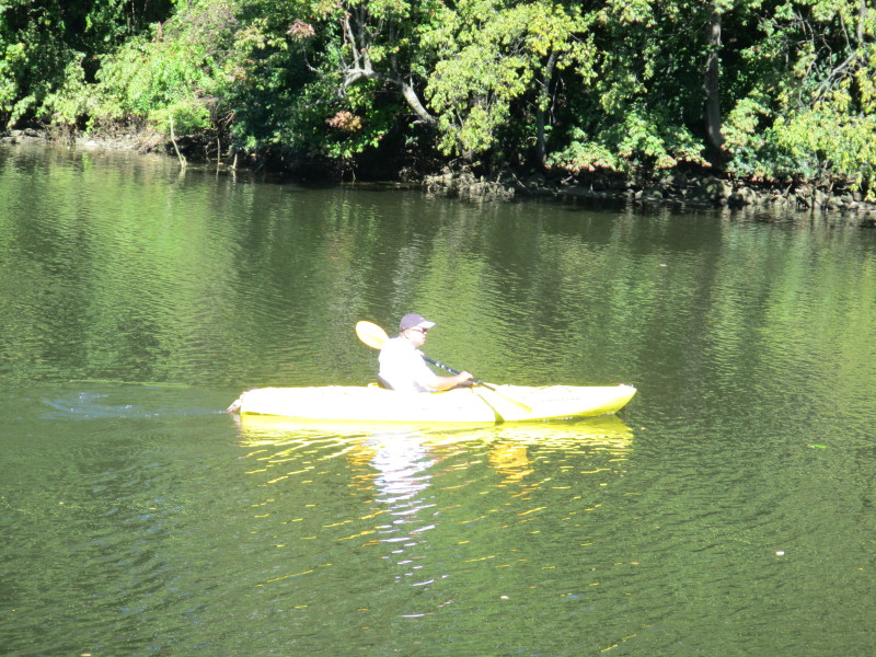
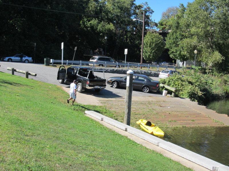 The Boston Kayaker ready to launch on Seekonk River.


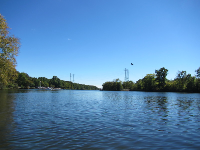
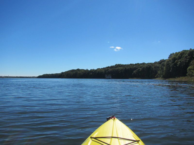
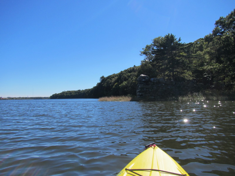
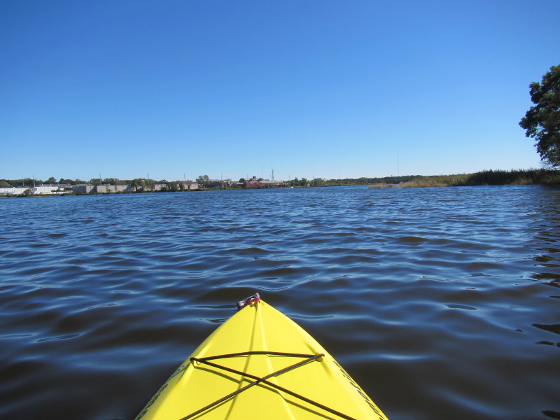
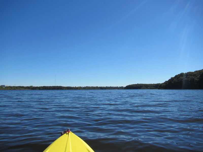
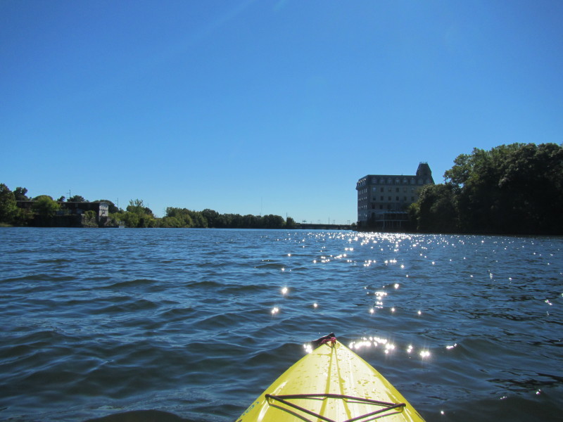
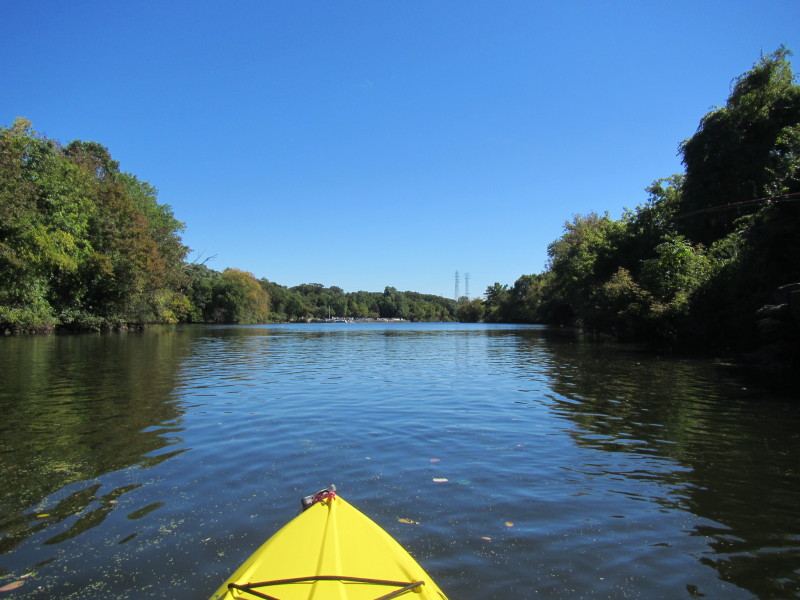 Paddling south on Seekonk River.
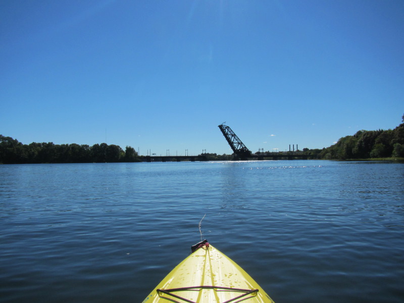
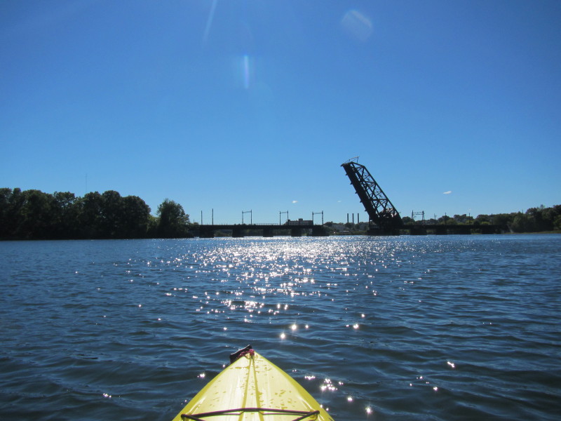
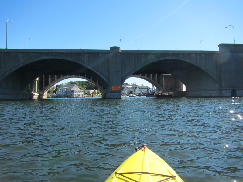
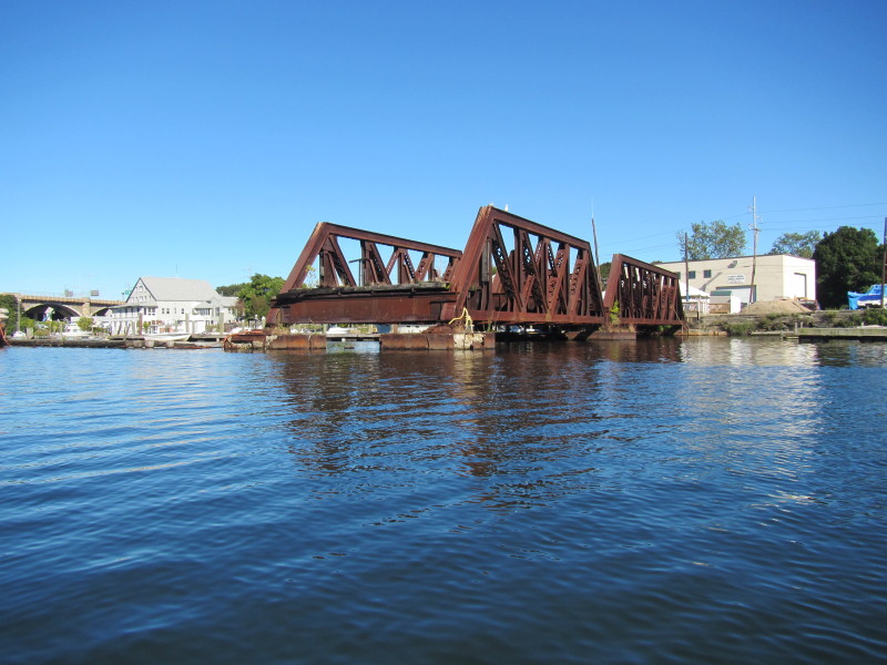
 Looking back at Division Street bridge.
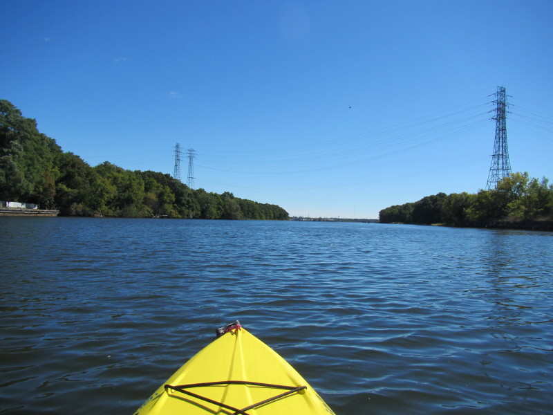
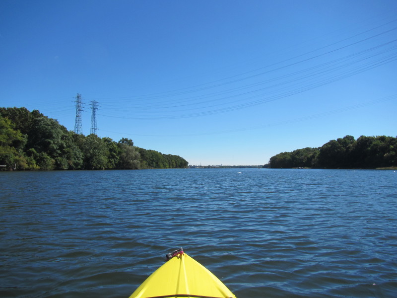
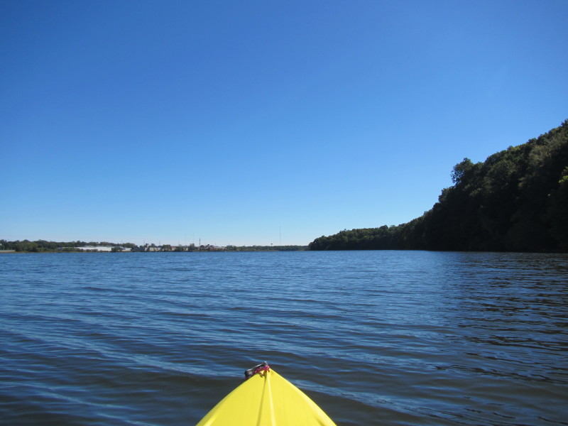
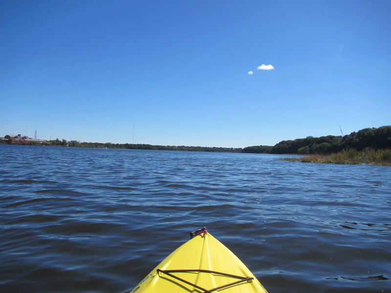
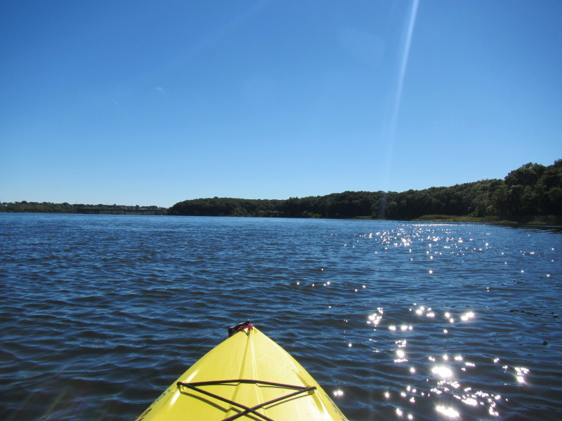
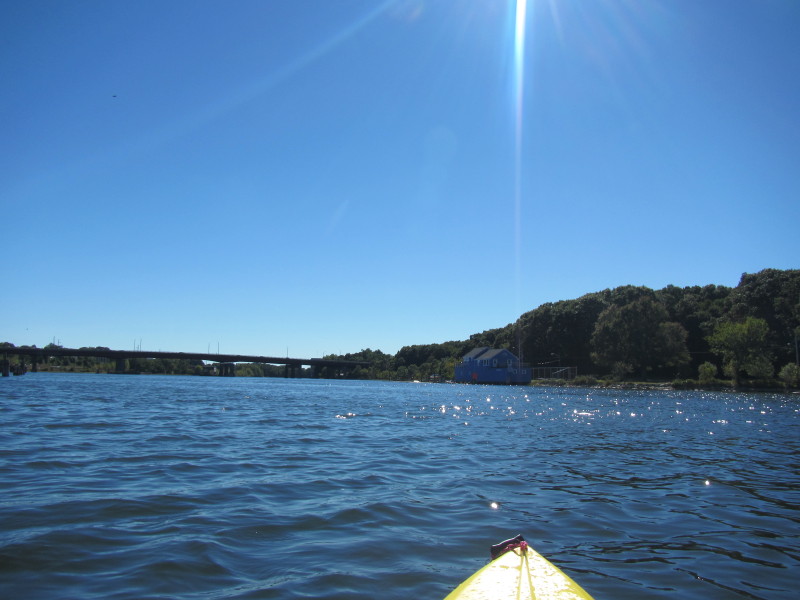
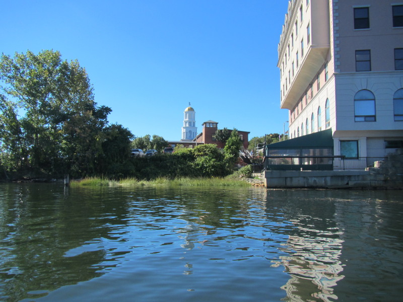
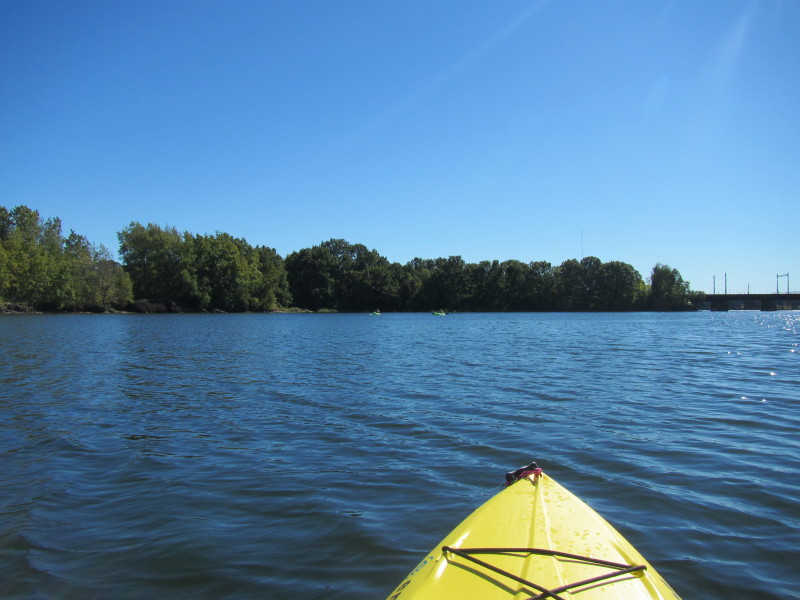
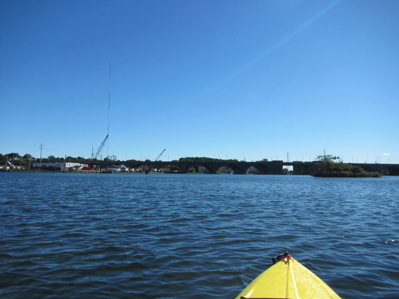
Looking west. 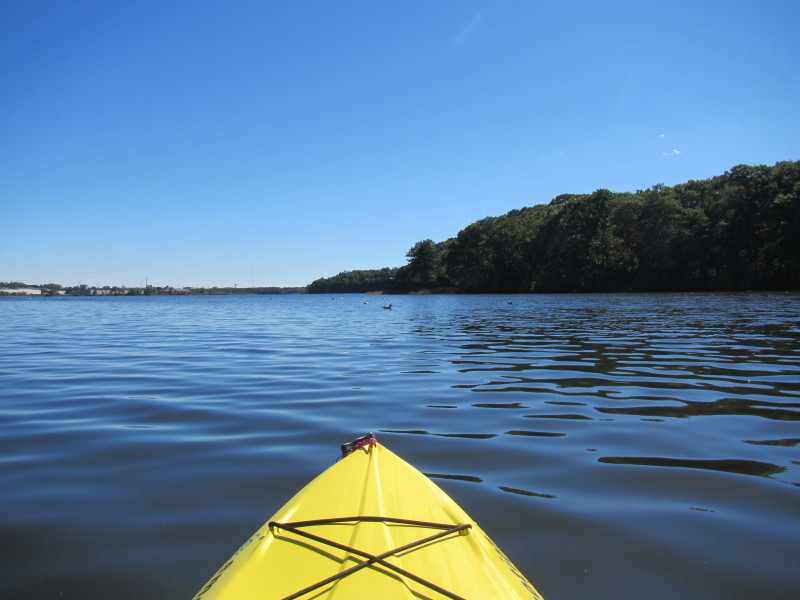
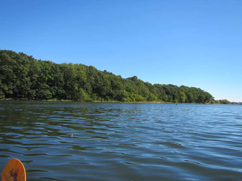
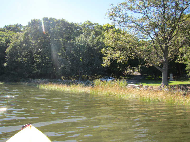
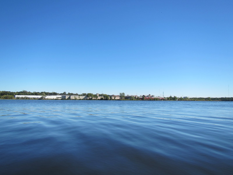
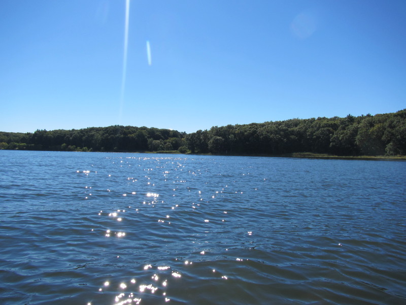
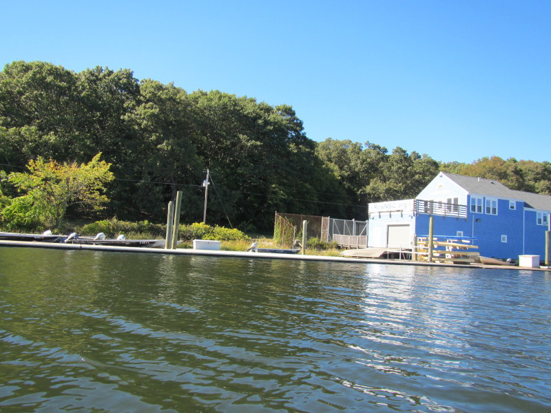
 West bank of Seekonk River.

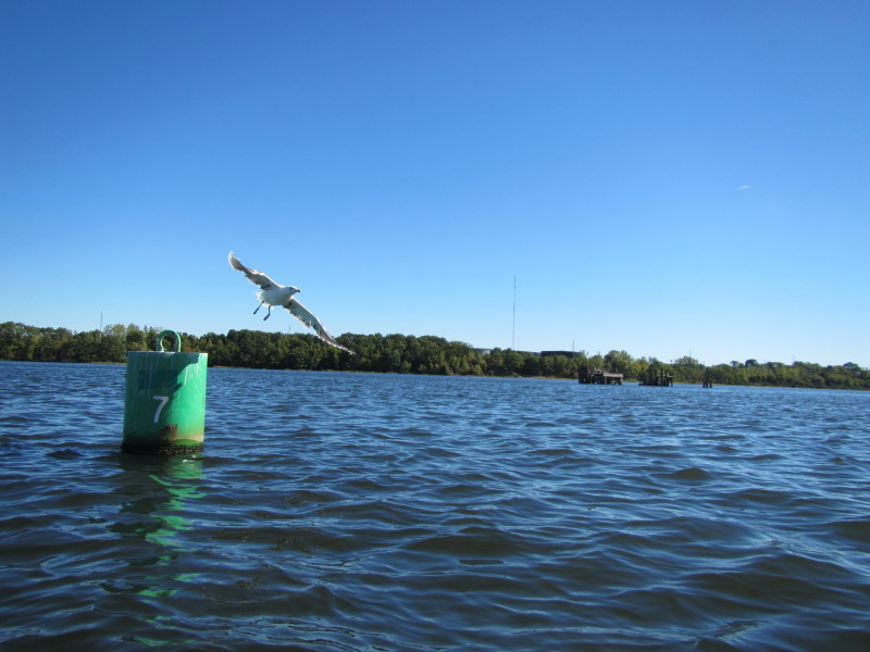
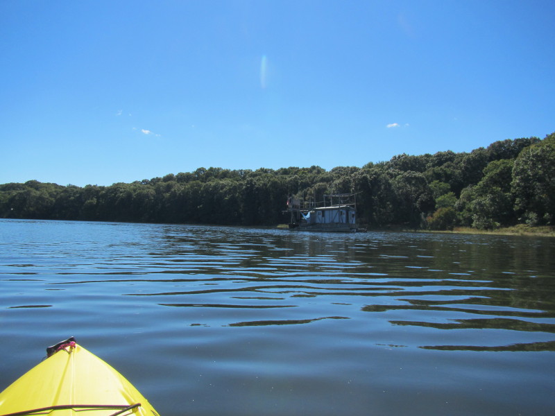
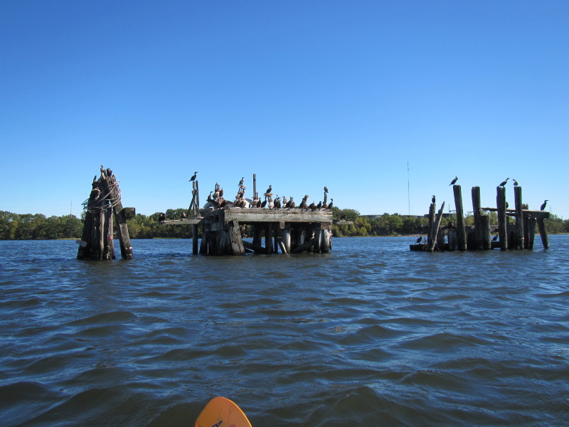
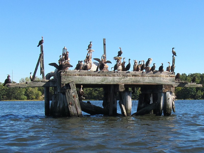
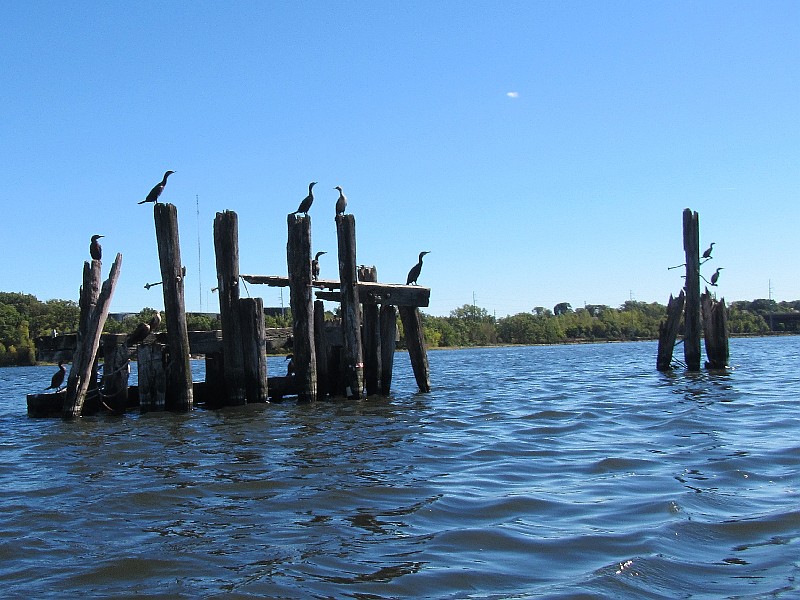
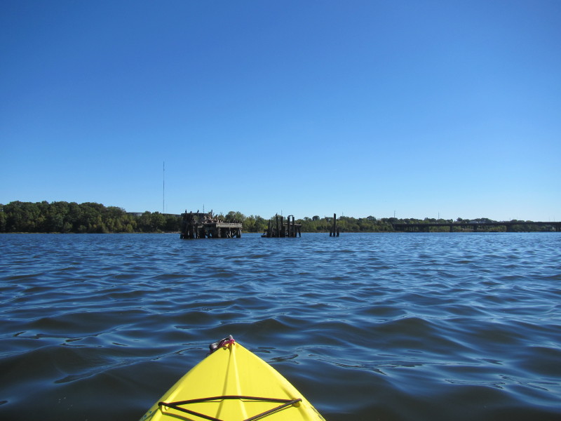 In the middle of Seekonk River are these old wooden structures from bygone era.
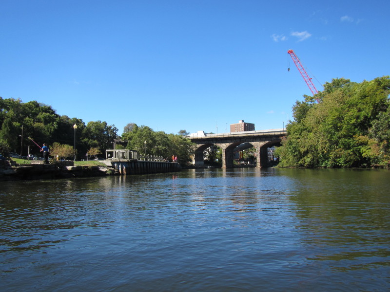
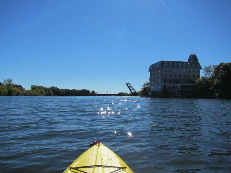
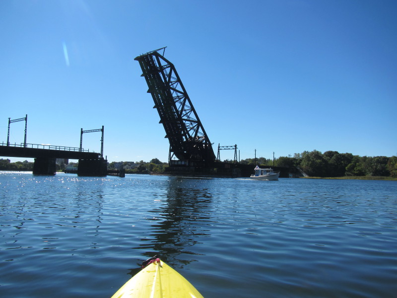
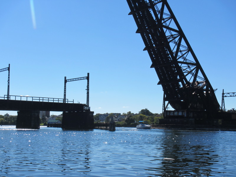
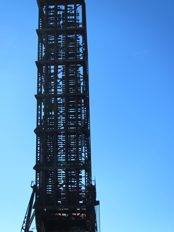
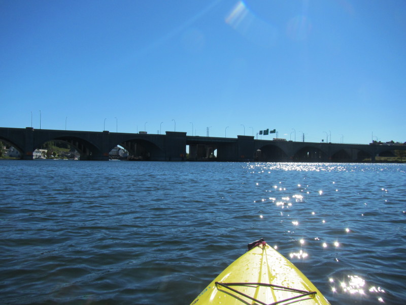
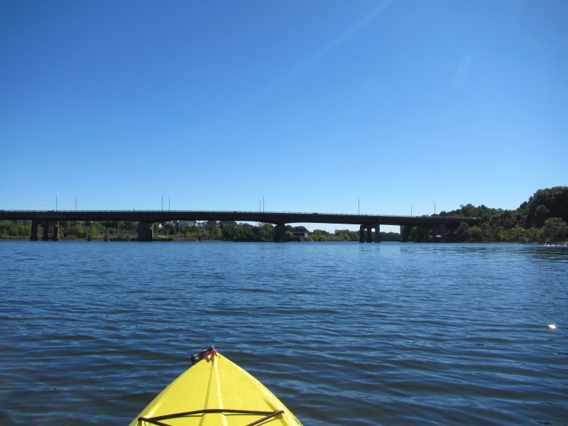 Approaching Henderson Bridge.
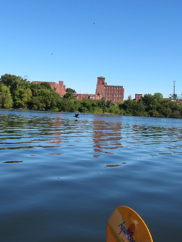
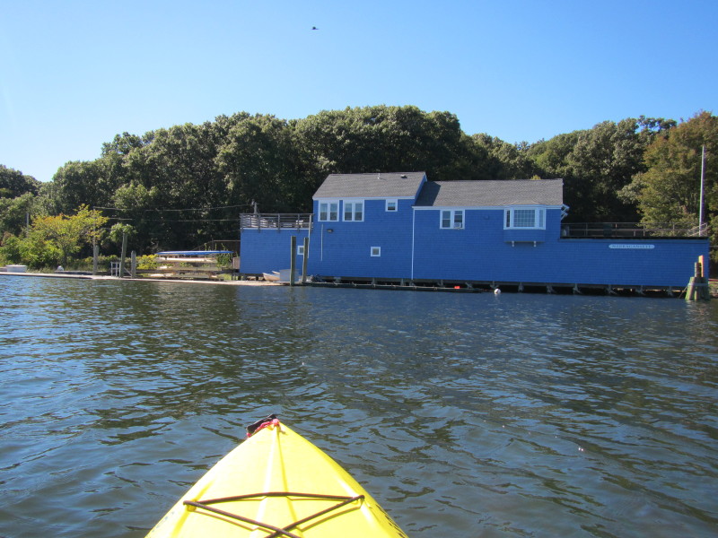
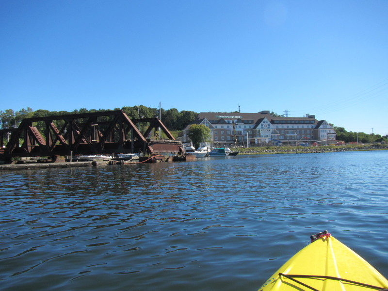
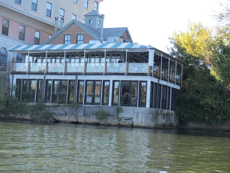 Riverside restaurant.
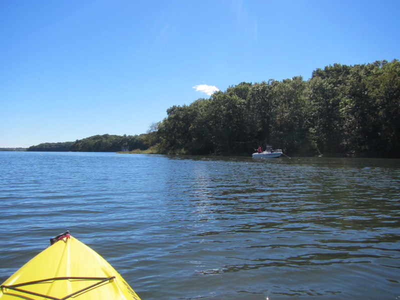
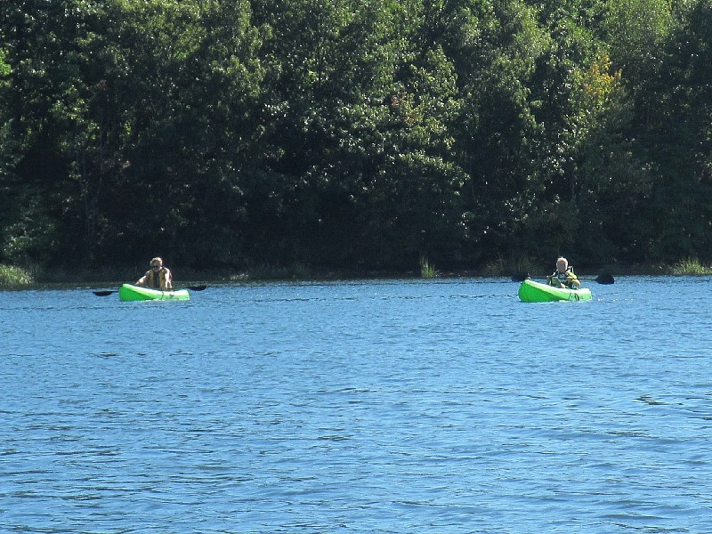
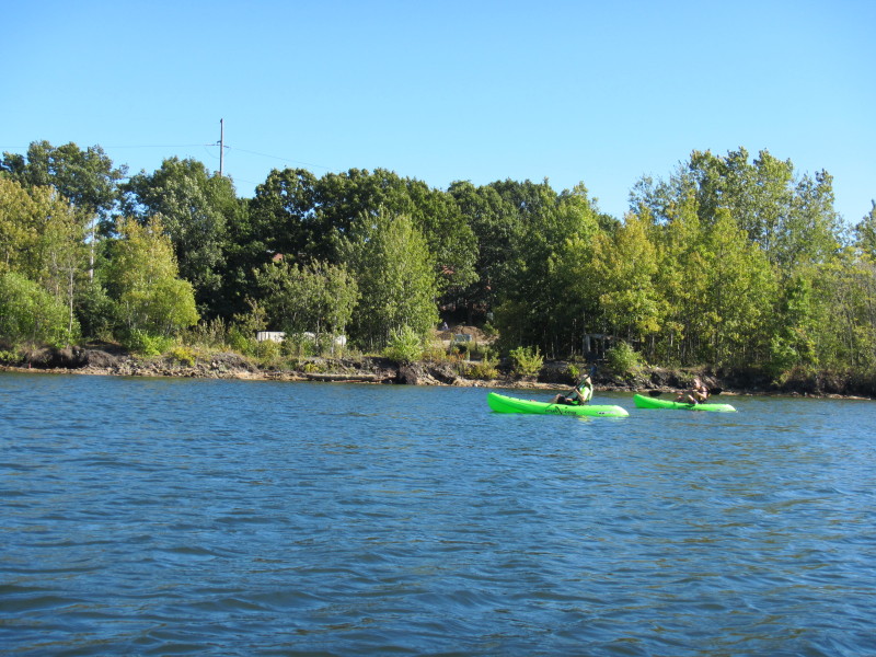
 A couple of kayakers.
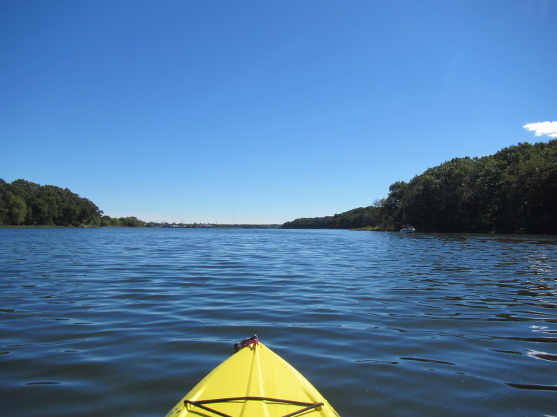
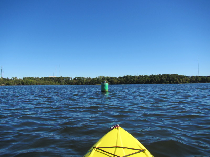
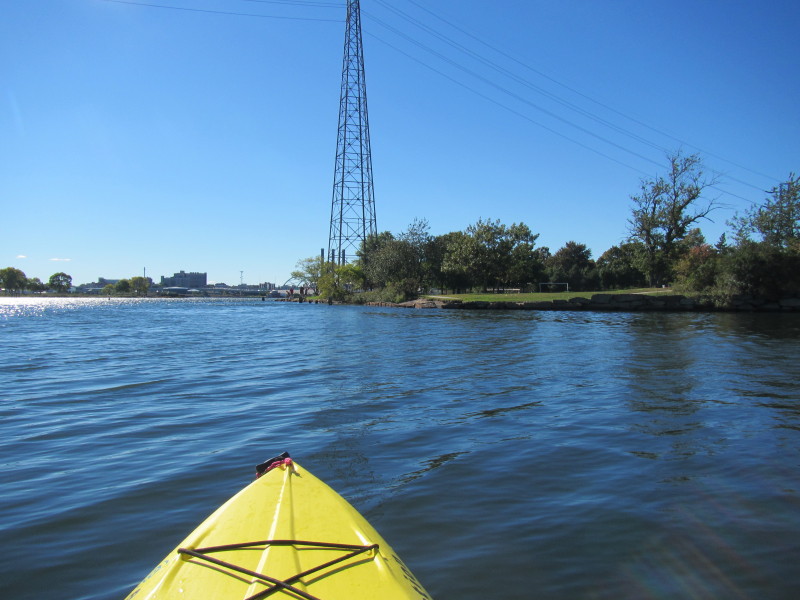
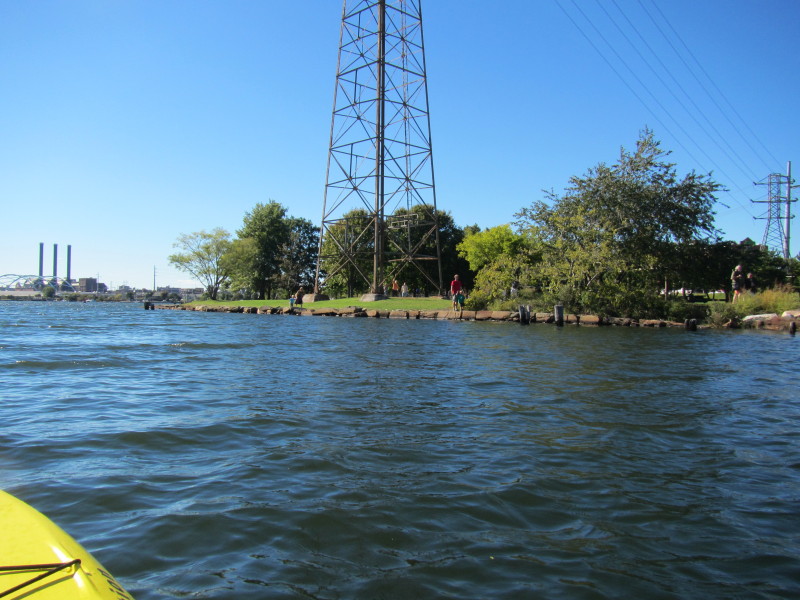
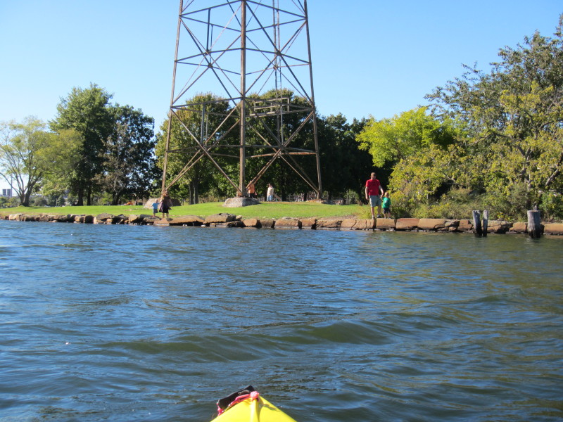
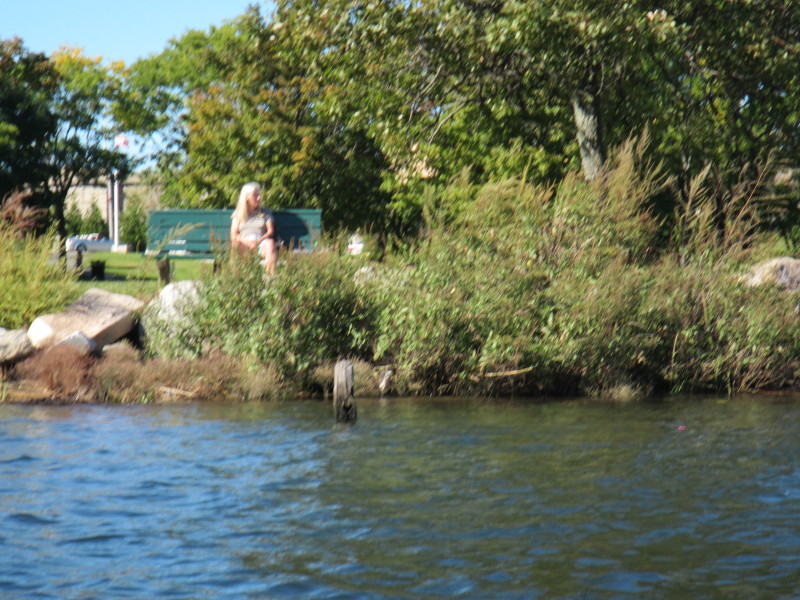
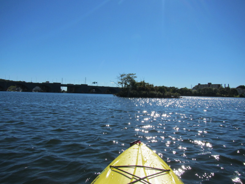 An island on Seekonk River.
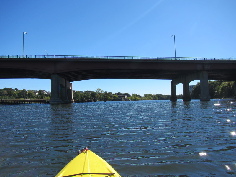
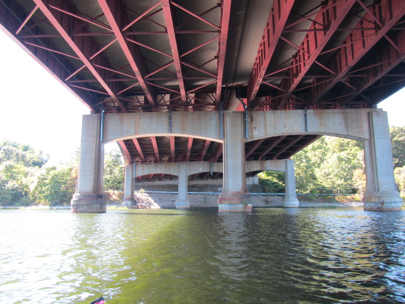
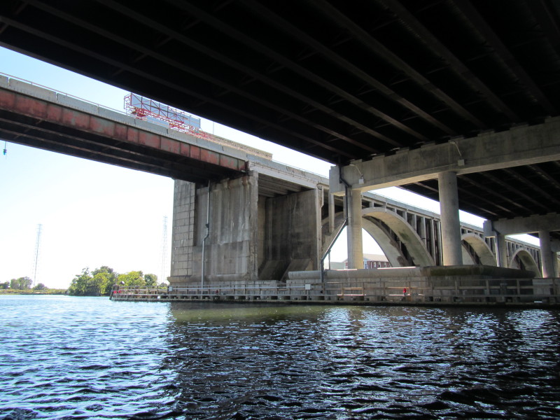
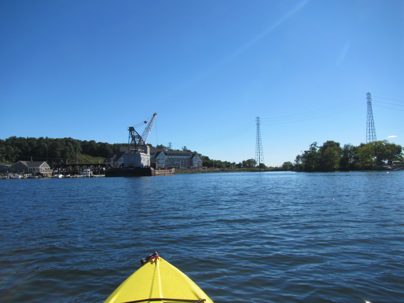
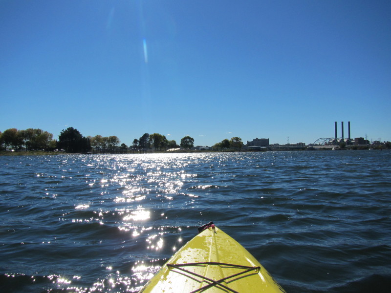
 Approaching the I-195 bridges.
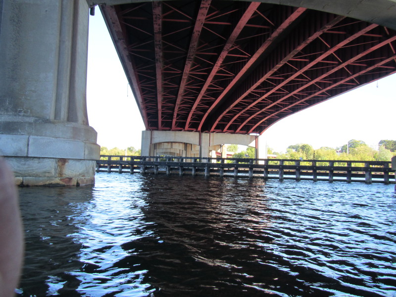
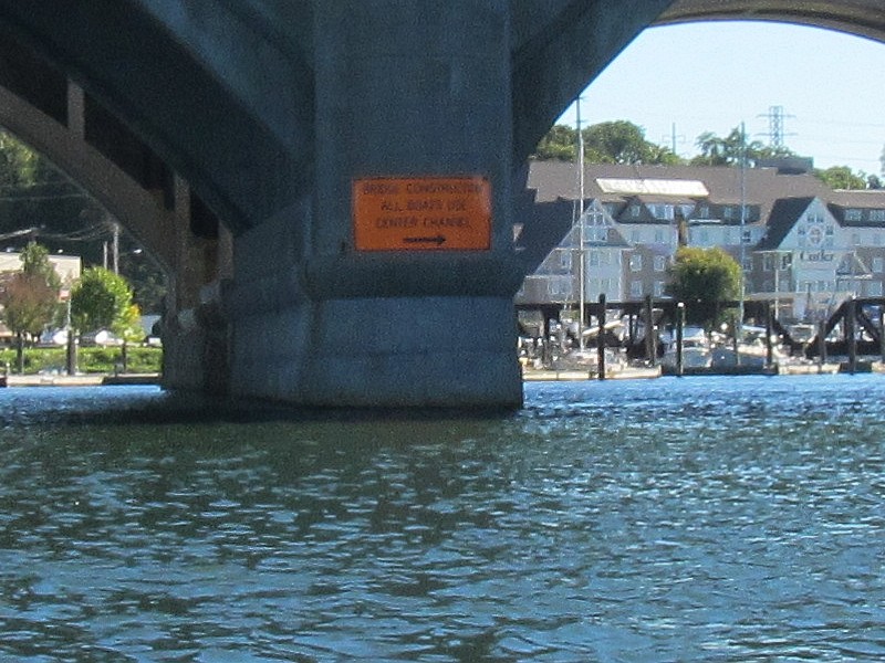 Orange sign on bridge says:
 BRIDGE CONSTRUCTION ALL BOATS USE CENTER CHANNEL 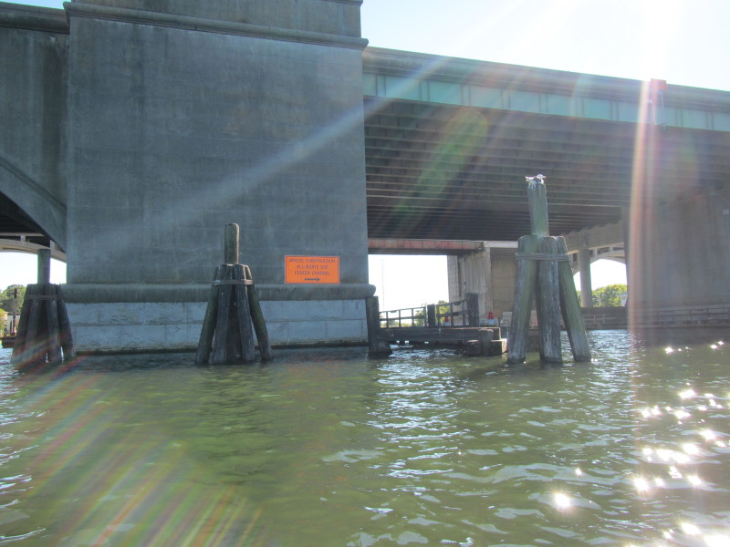
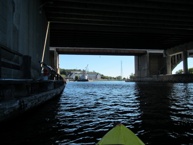
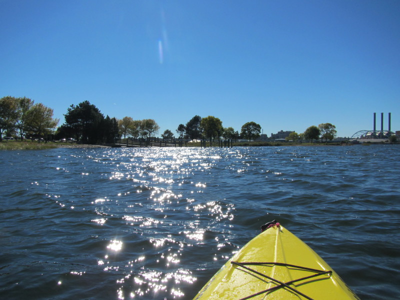
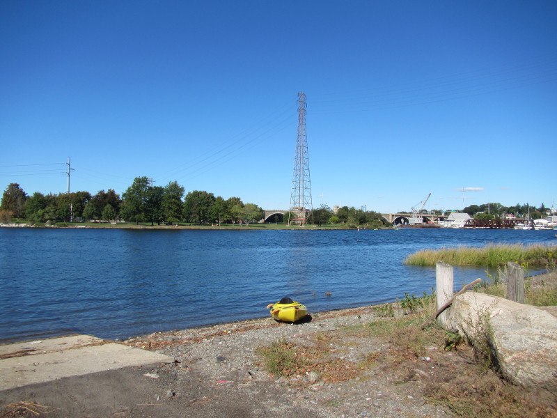
 Right after coming out of the I-195 bridges, Seekonk River becomes Providence River.
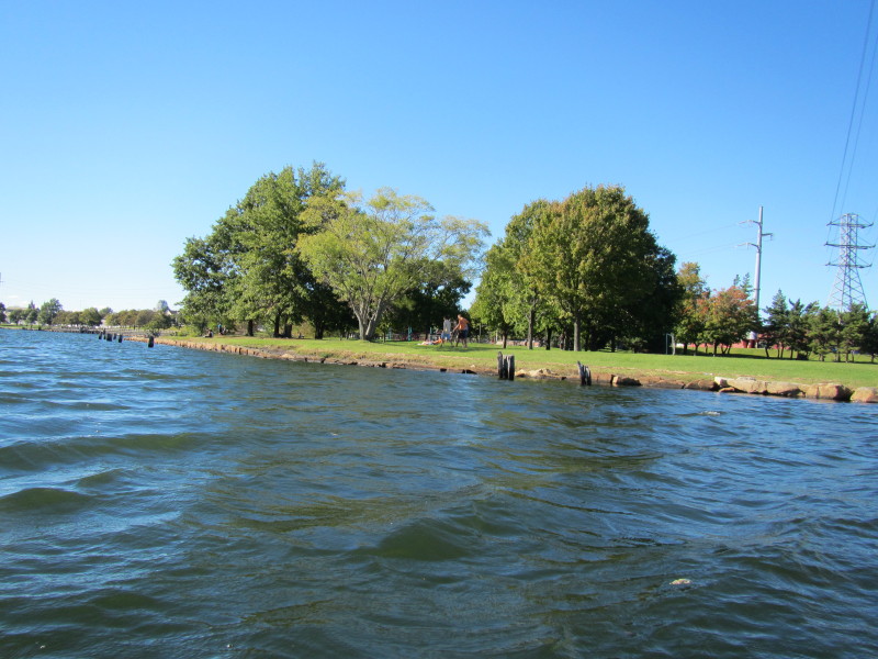
Bold Point Park, my landing site is visible on the south bank. 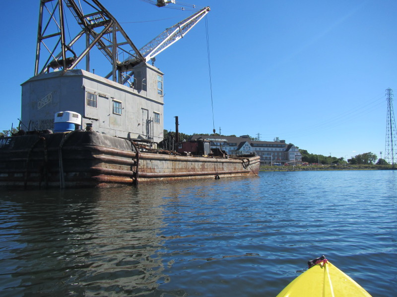 Facing west, India Point Park is on my right on the north bank.

 My landing site on the left, and downtown Providence in the background on right.
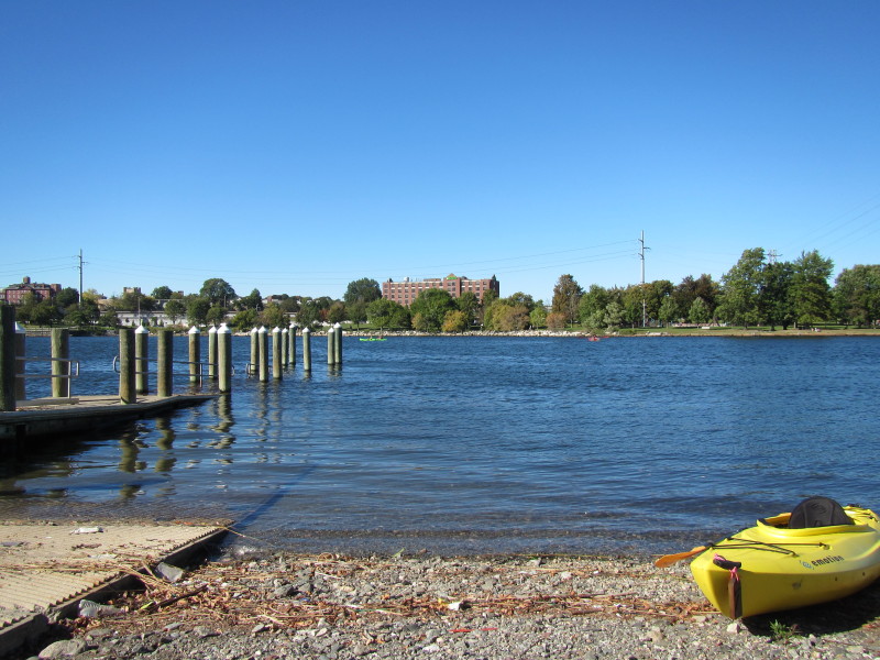
 Landed on Bold Point Park.
 I was on the water for 1 hour and 25 minutes.
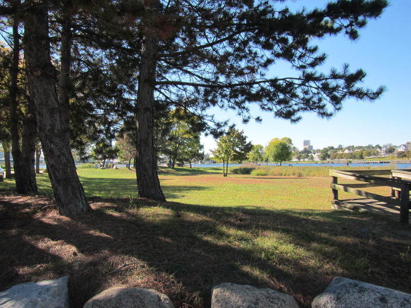 Bold Point Park.
|