 Kayaker

|


|
Download printer-friendly
PDF version that fits in one page: |

|
|
Other resources:
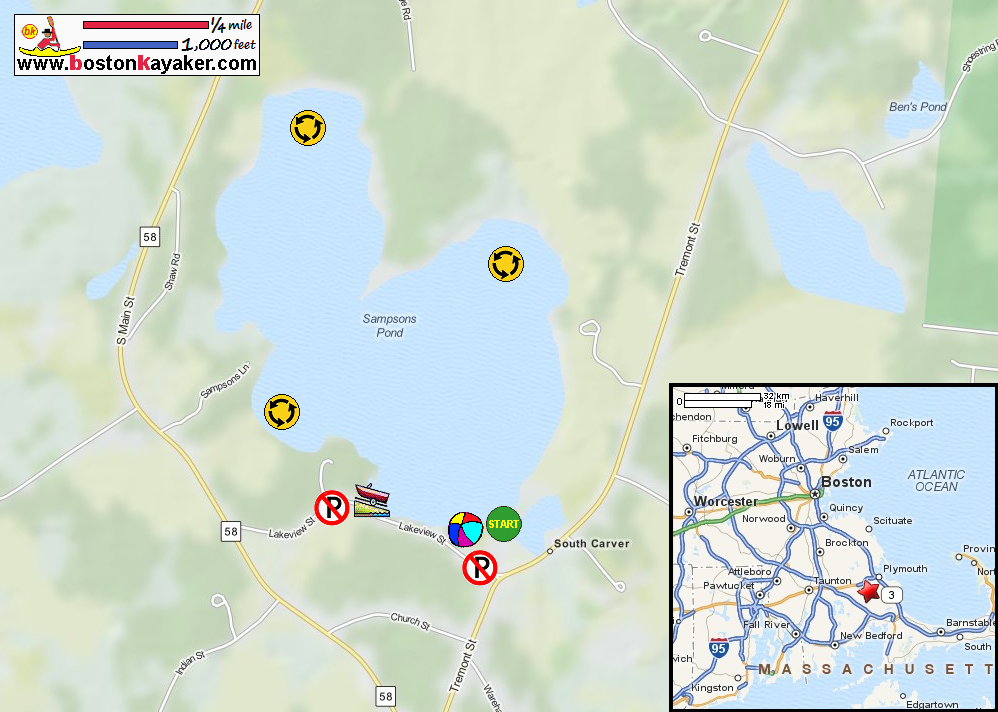
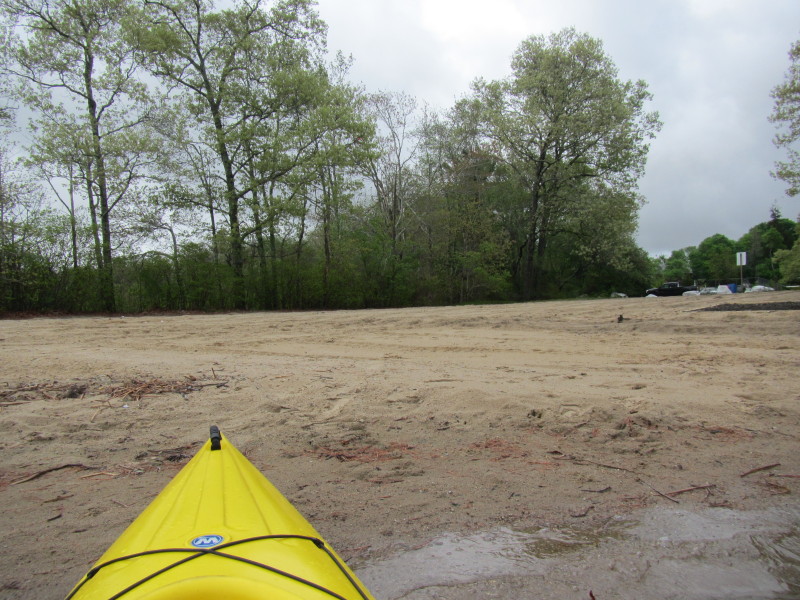
Mass. Govt.: Sampsons Pond Bathymetry Map Mass. Govt.: Sampsons Pond Bathymetry Map (cached copy) All photos in this website are original and copyrighted. 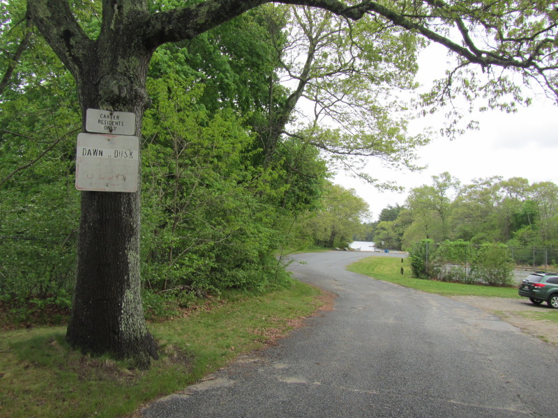 Entrance to the Sampsons Pond beach on Lakeview Street in Carver MA.
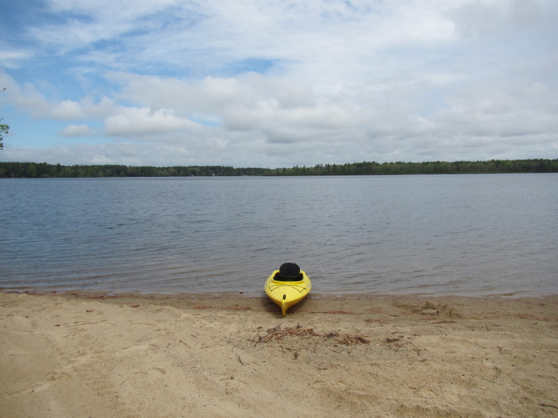
Use of Sampsons Beach and parking lot restricted to Carver residents during the season. Trip date is May 2014. 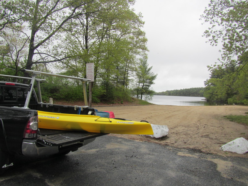 At Sampsons Pond beach.
 Just launched on Sampsons Pond.
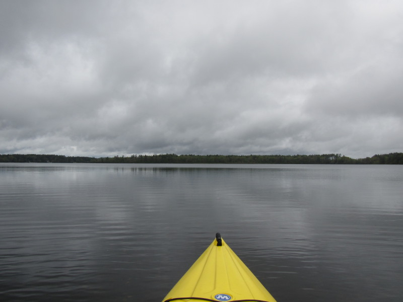
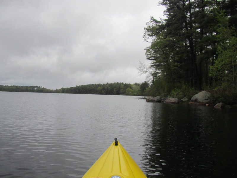
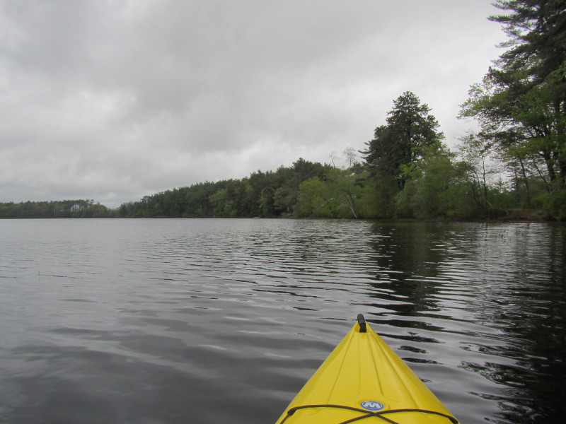
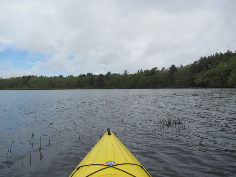
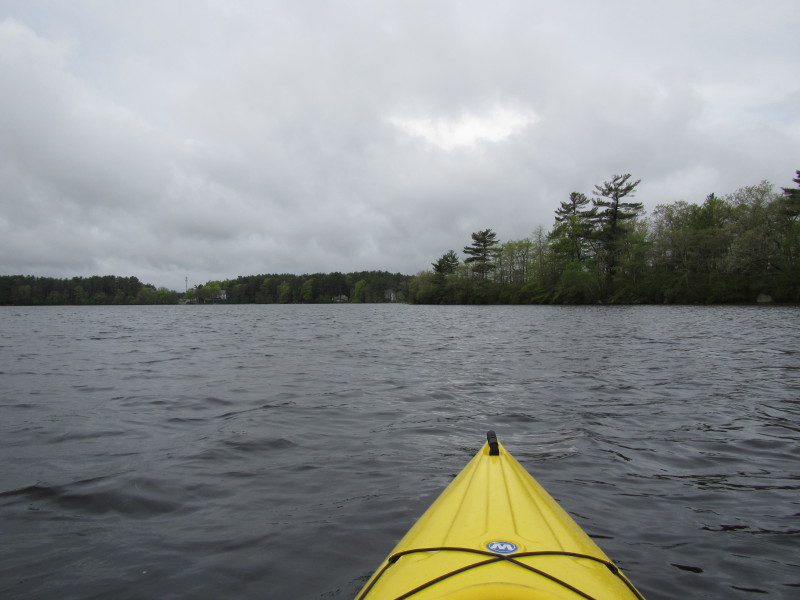
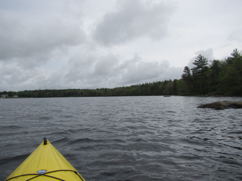
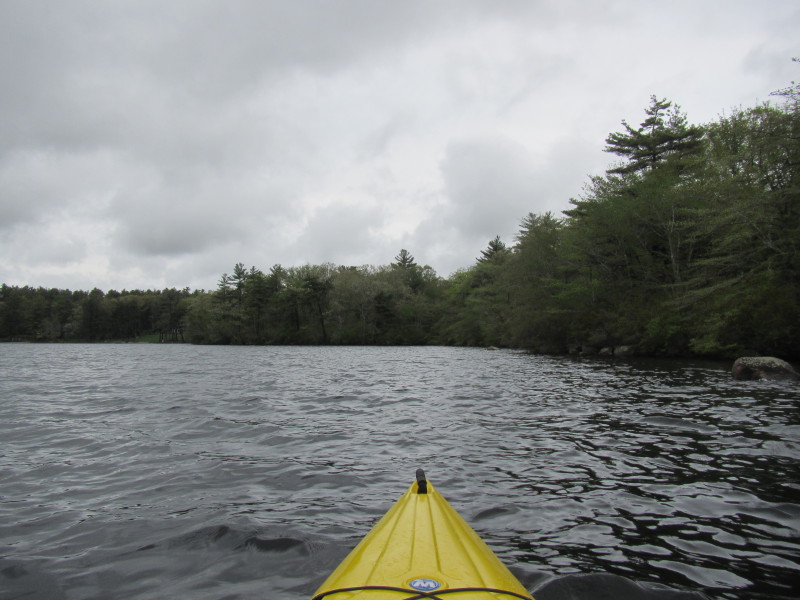
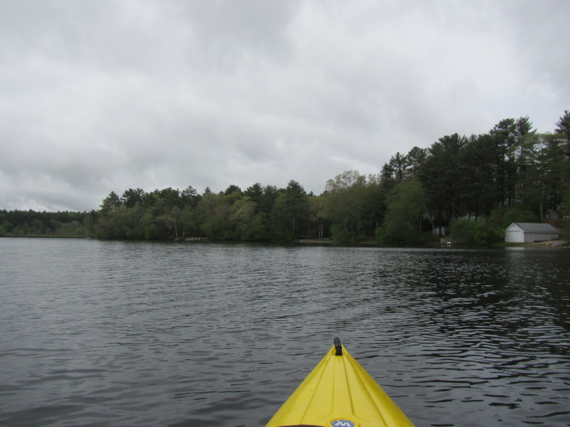
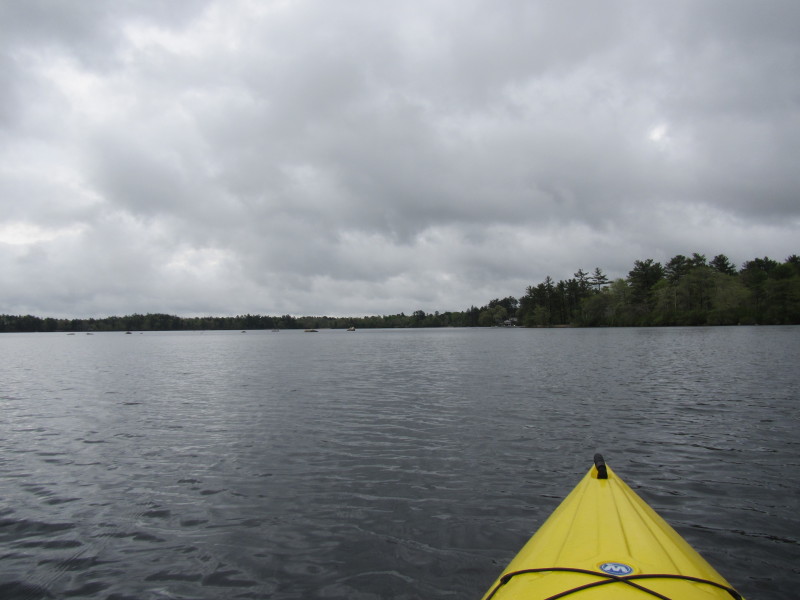
Cloudy skies but forecast is for sun to come out.  I am veering right and will paddle Sampsons Pond counter-clockwise.
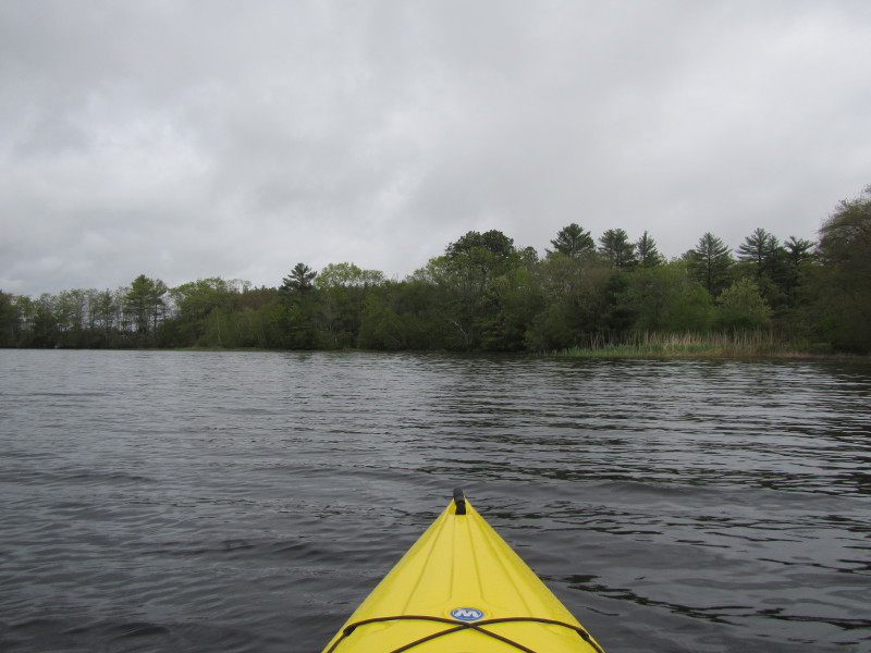
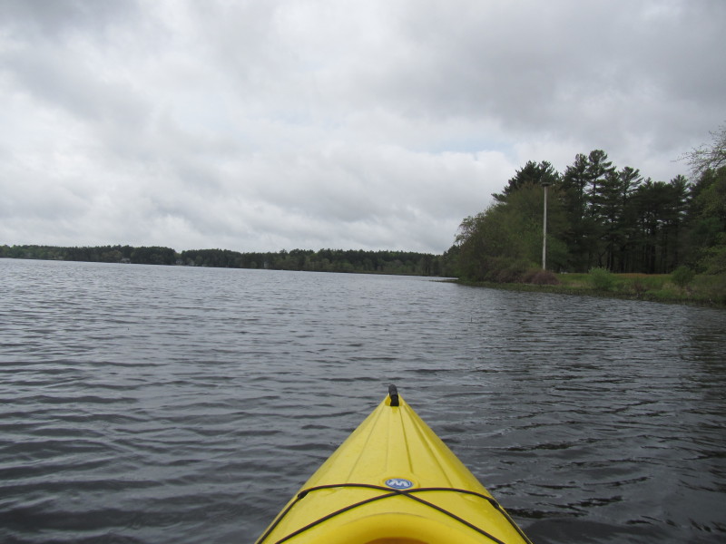
 Just paddling along the shore on my right.
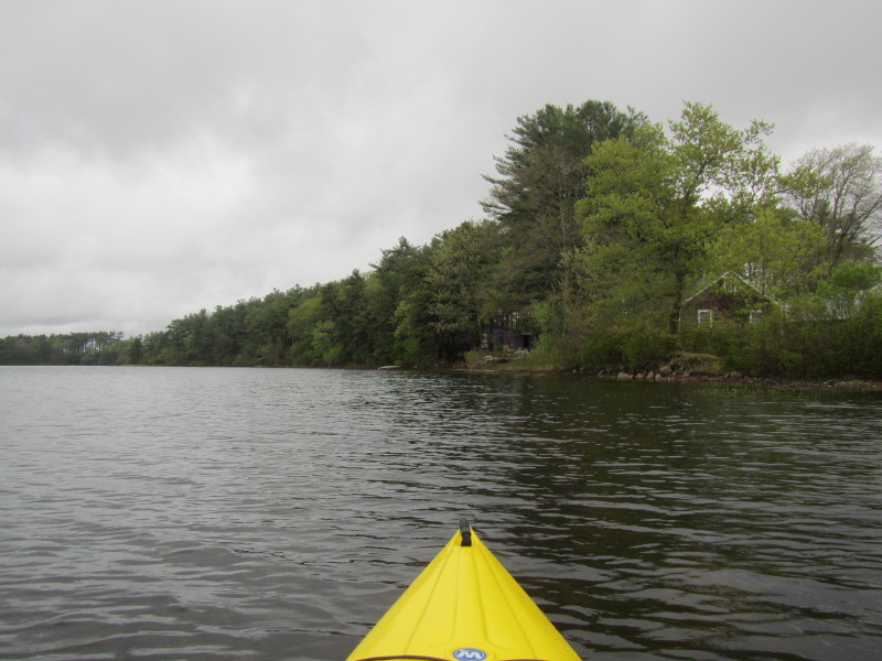
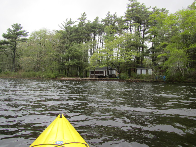
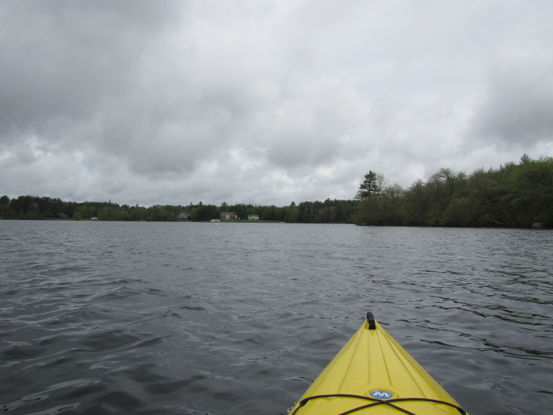
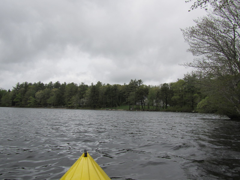
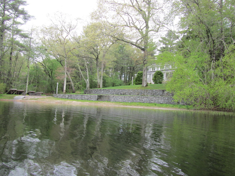
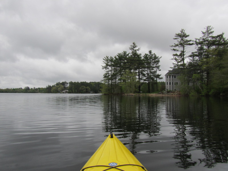
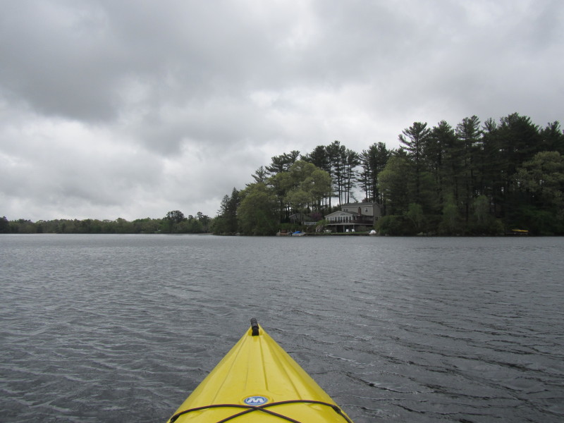
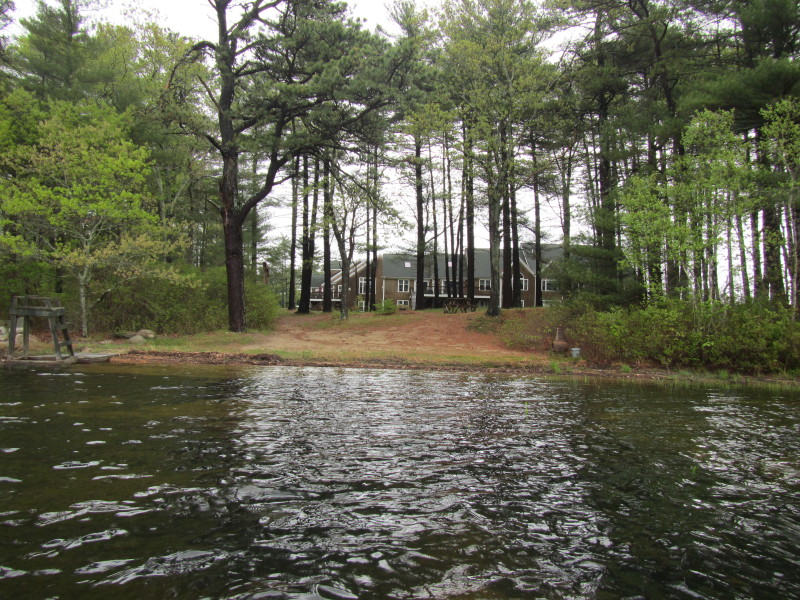 This one looks like an apartment complex.
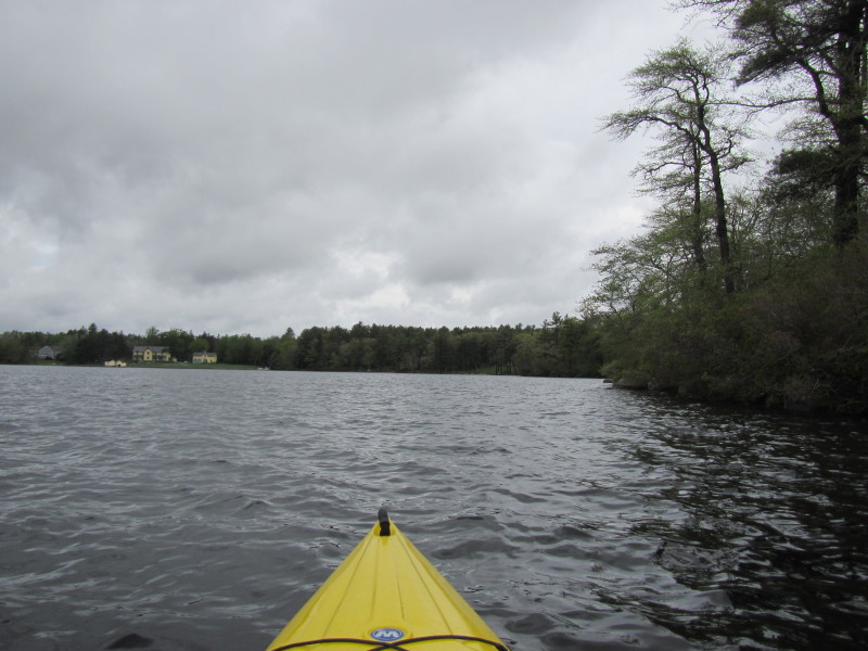
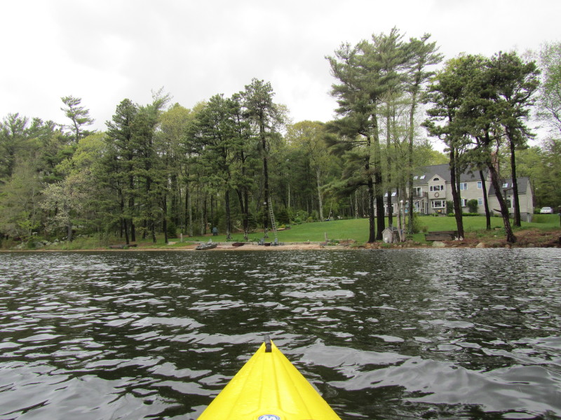
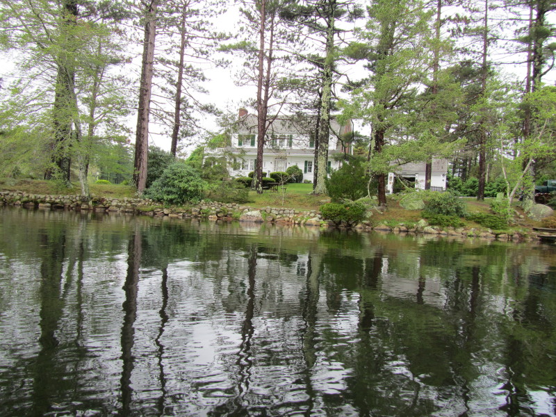
 On my right is the same apartment complex's other side.
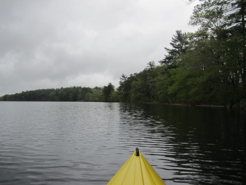
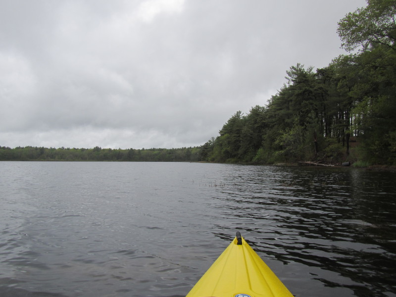
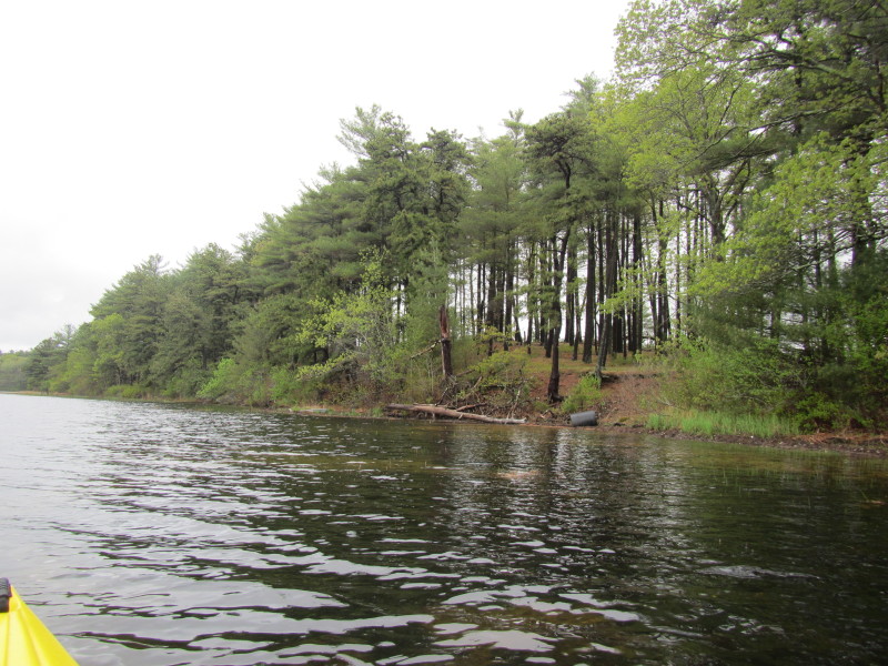
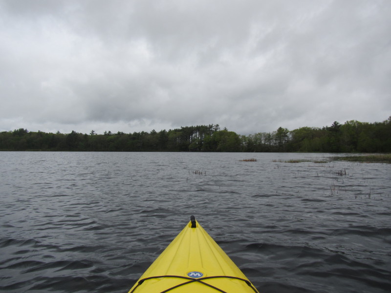
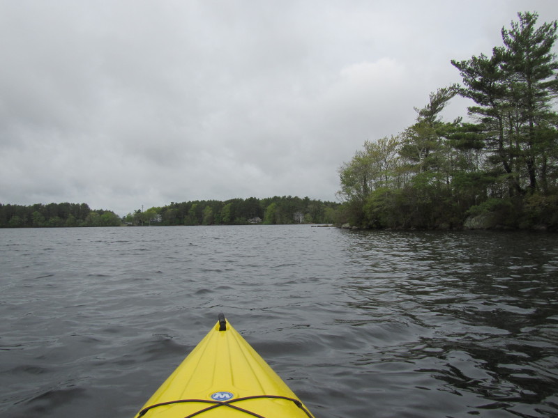
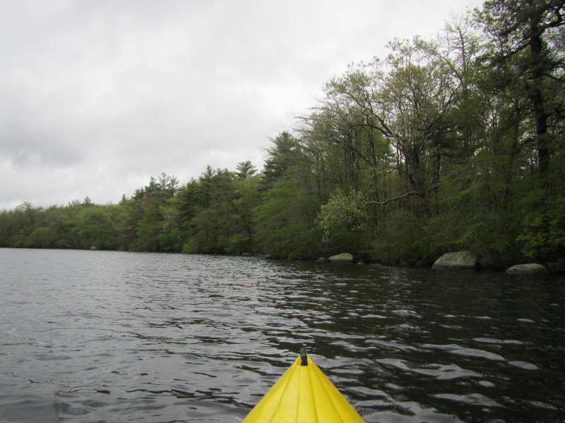
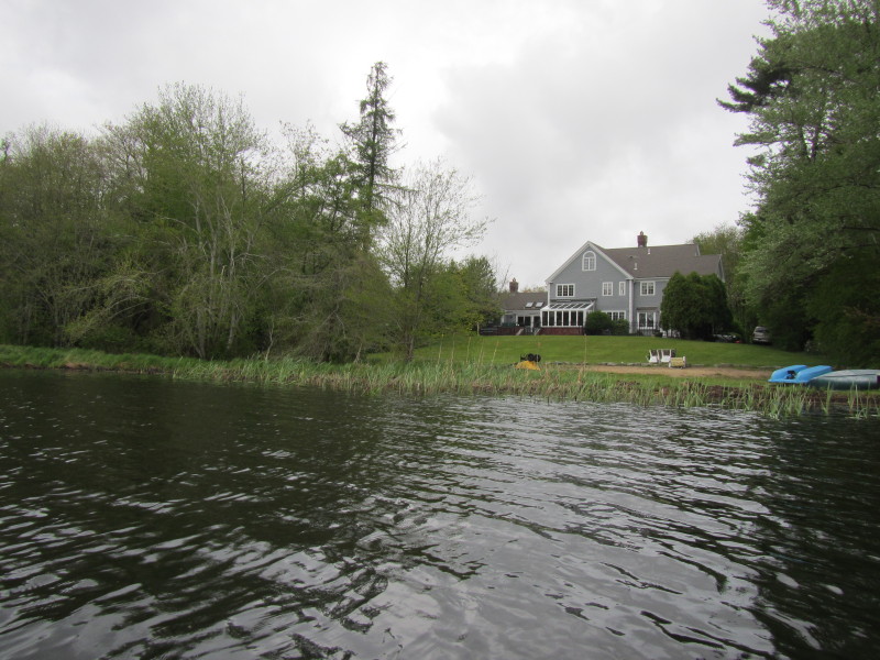
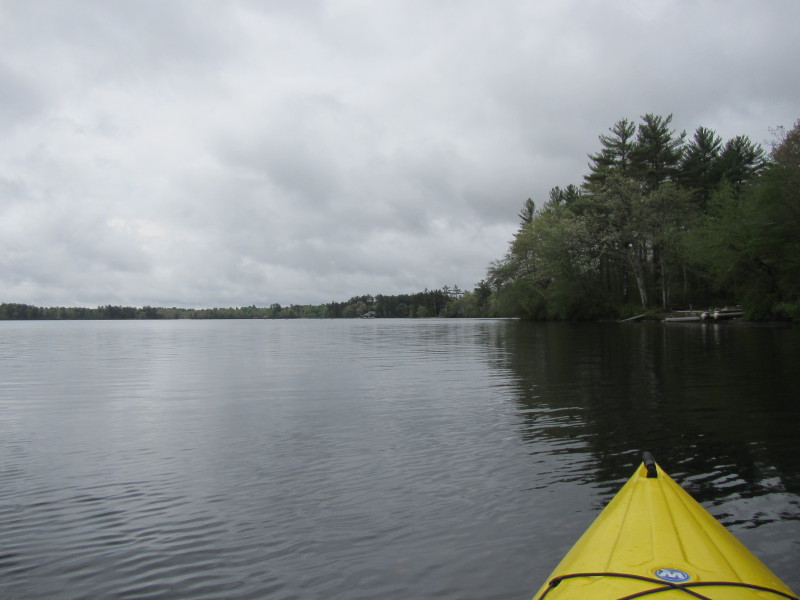
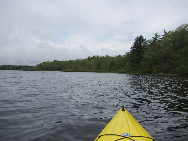 Long stretches of the Sampsons Pond shore are undeveloped.

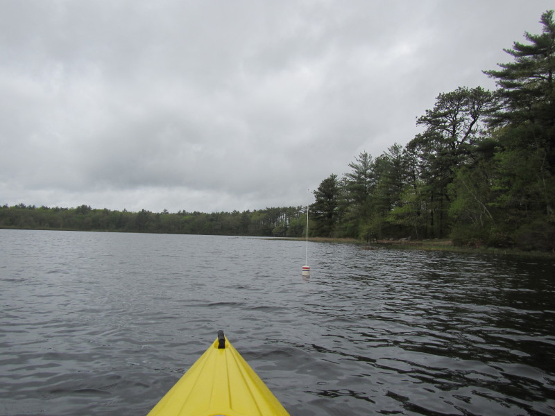
 To the right will be the north eastern cove.
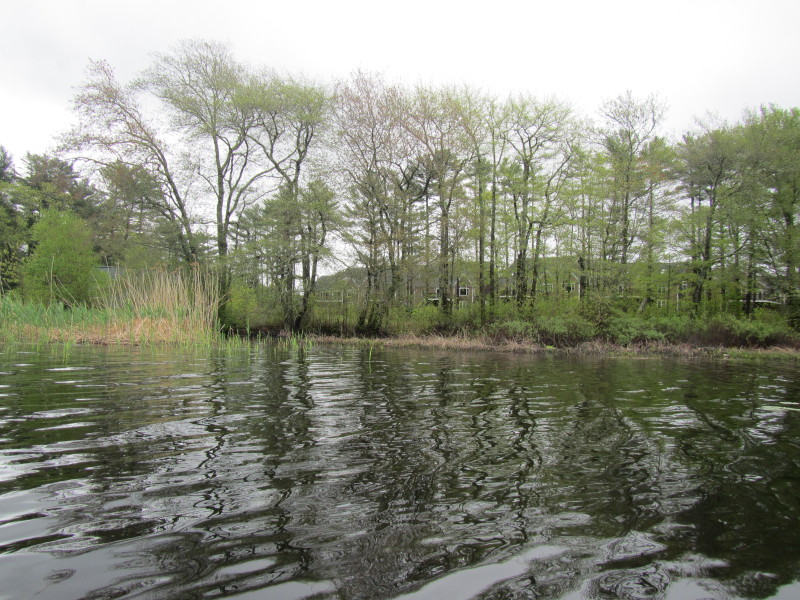
 Sampsons Cove northeastern cove.
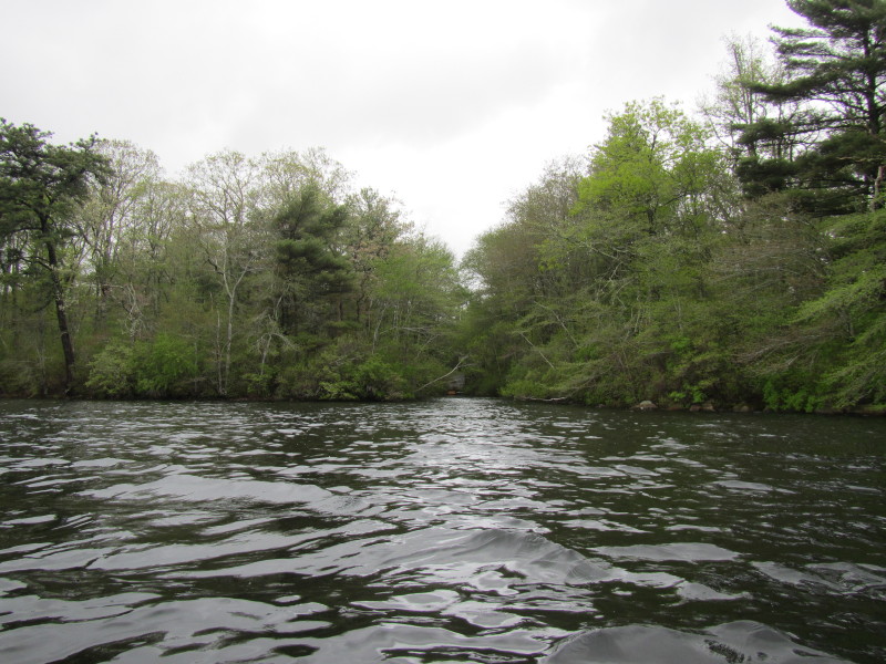
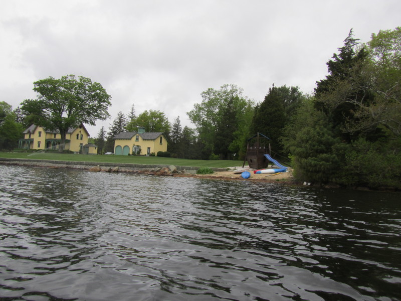
 Entering the cove. Will follow the shoreline on my right.

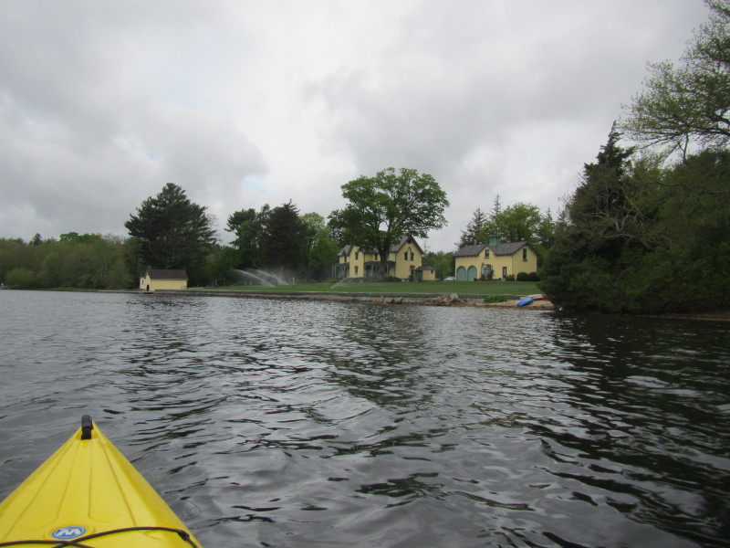 It rained all night long and early morning and yet sprinklers are on . . .
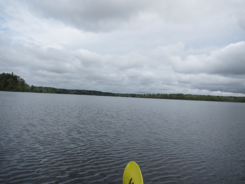
 Looking south at Sampsons Pond from the northeastern end.
 I will be rounding this peninsula on the right and should take
me to the northwestern cove.
I will be rounding this peninsula on the right and should take
me to the northwestern cove.
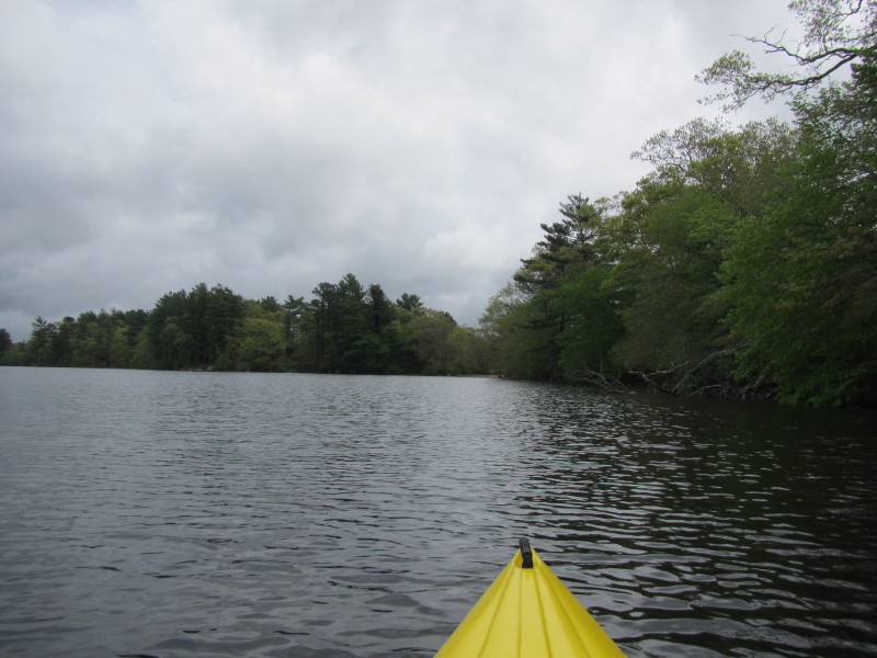
 I am now at the northwestern end of Sampsons Pond and now paddling southern direction.
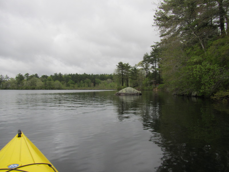
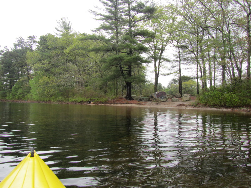
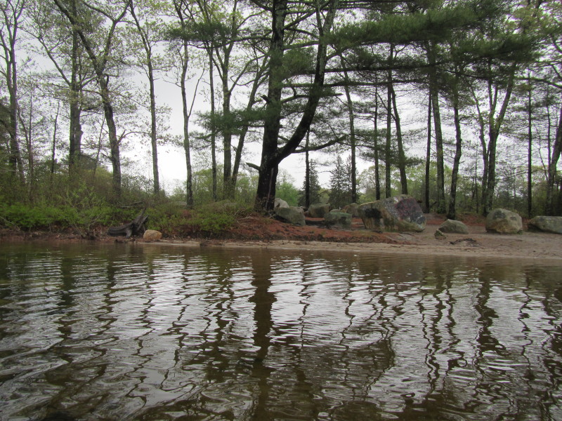
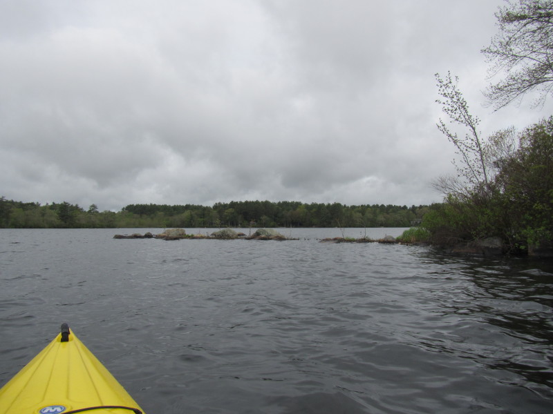
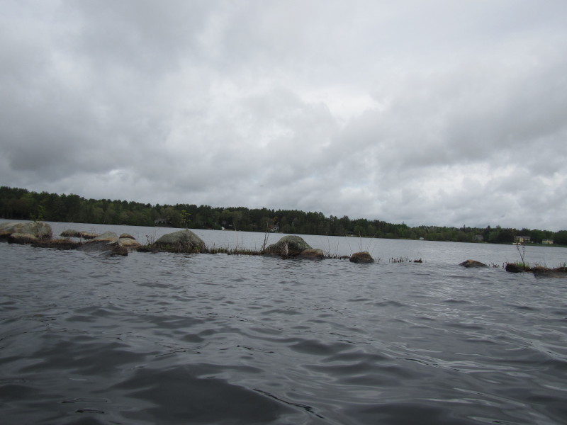
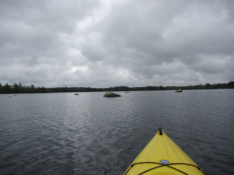
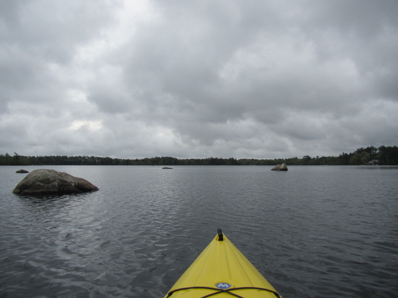
 Some interesting rocks. Will approach.


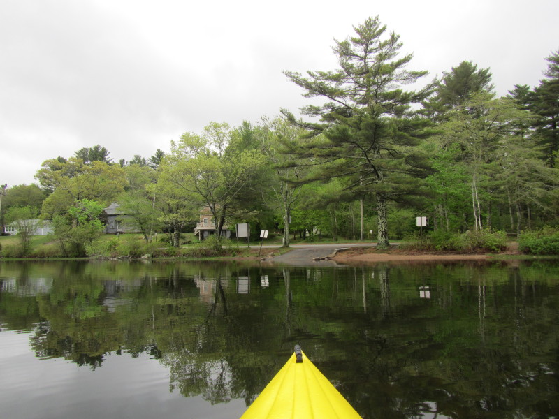 Sampsons Pond boat ramp.
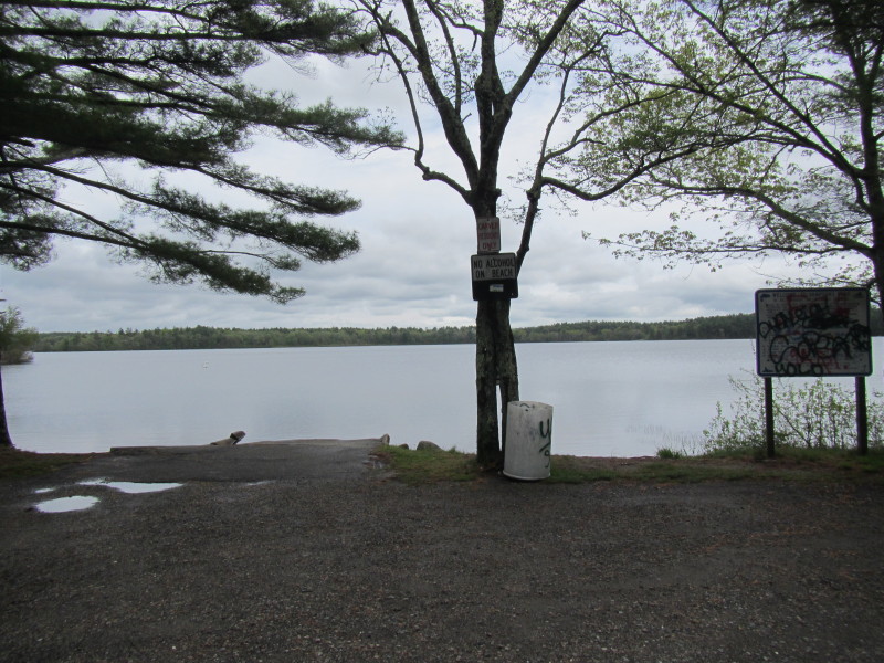
For Carver residents only. 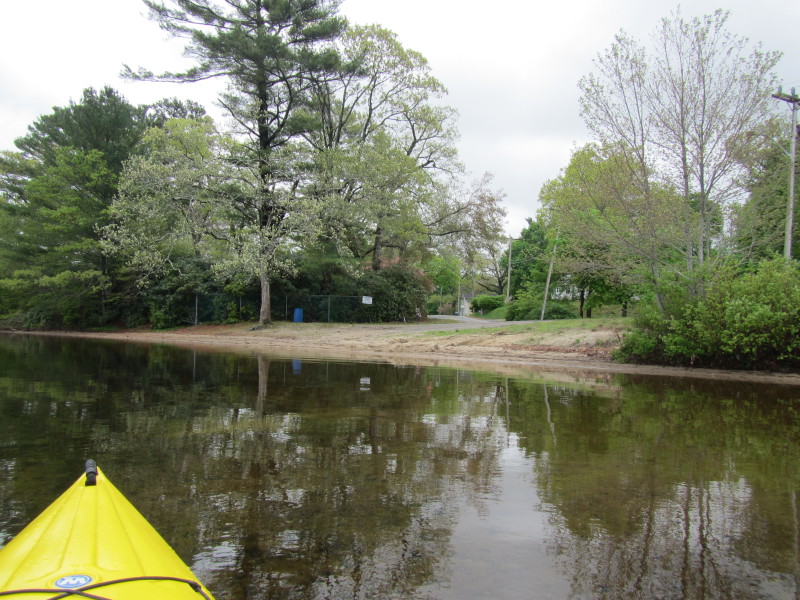 Just next to the boat ramp is this informal launch.
"Carver residents only" and "No Parking" signs everywhere. 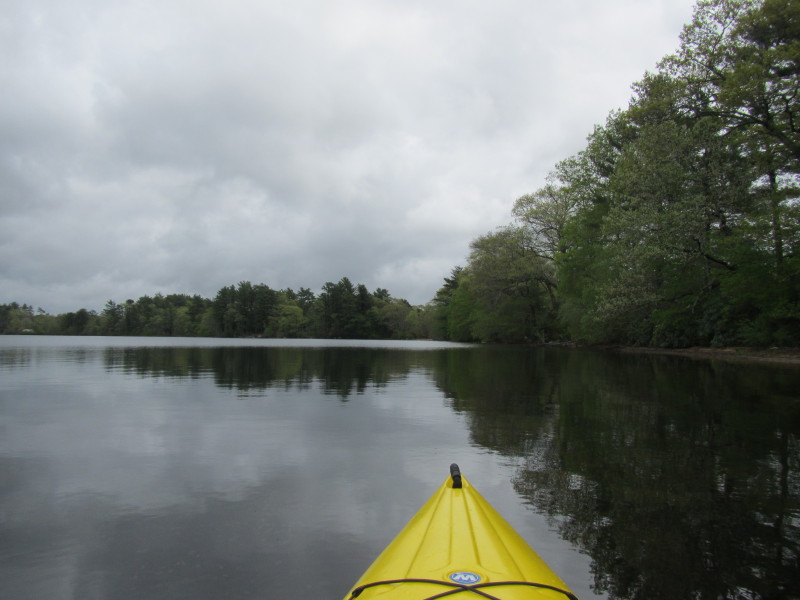
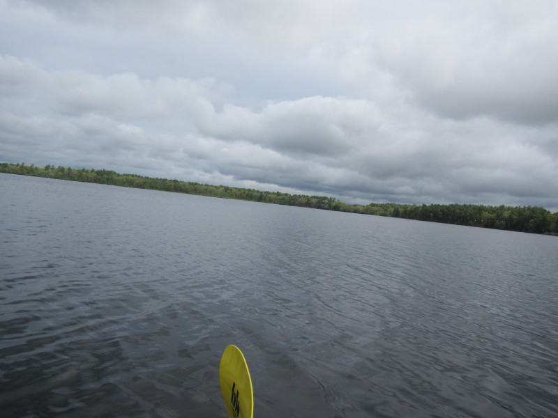
 Looking north on Sampsons Pond from the southern end.
 That brown spot of sand is where I am returning to.
 The signs at the Sampsons Pond boat ramp.
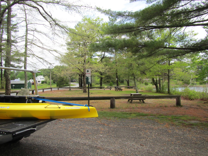 Picnic table for Carver residents.
|