 Kayaker

| |||||||||||||||||||||||


|
Download printer-friendly
PDF version that fits in one page: |

|
|
Other resources:
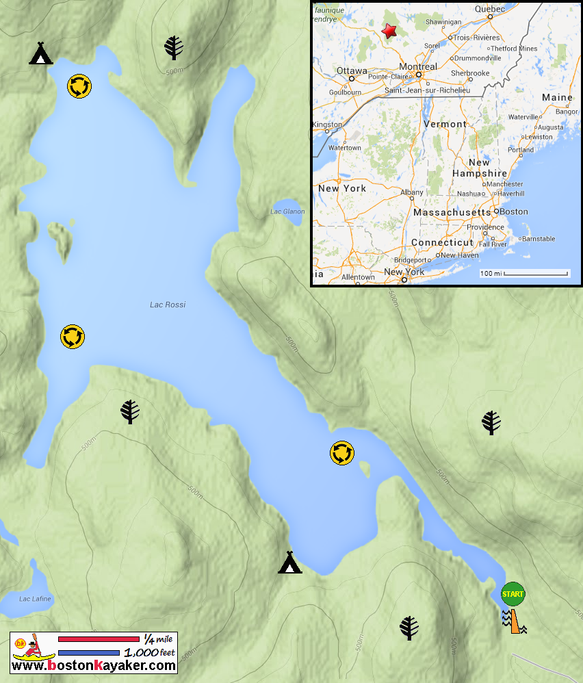
Parc national du Mont-Tremblant Map Parc national du Mont-Tremblant All photos in this website are original and copyrighted. 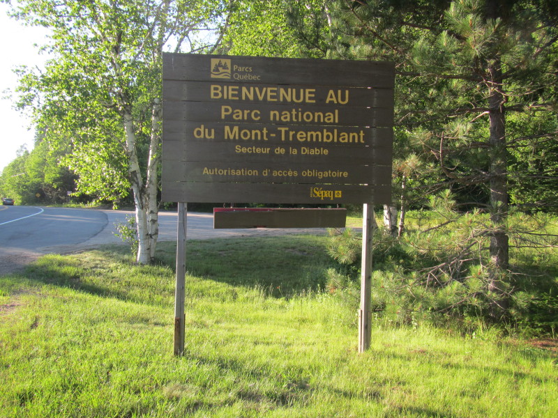 At Parc national du Mont-Tremblant.
Trip date is July 2014. 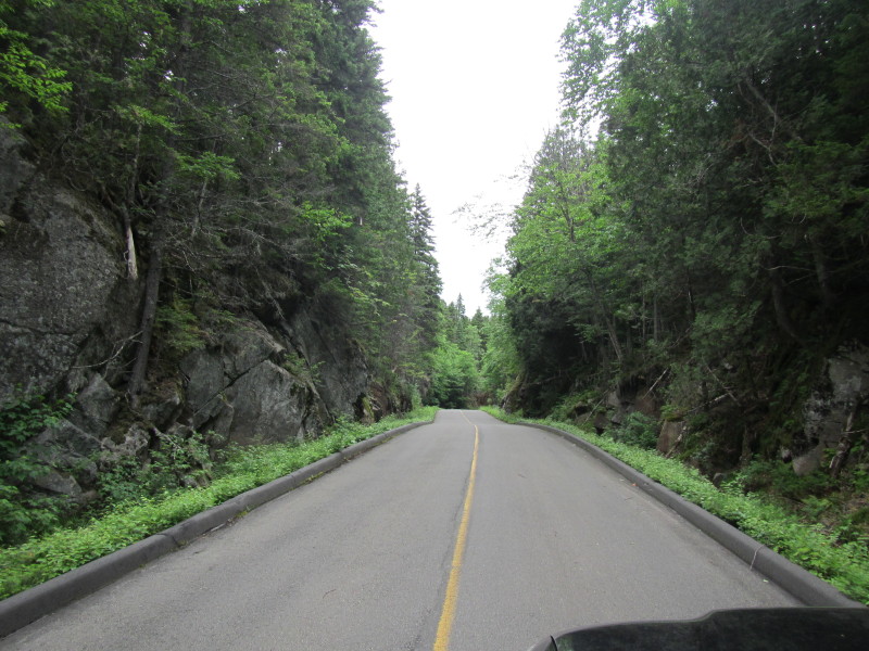 On Route 1 inside Parc national du Mont-Tremblant La Diable Secteur.
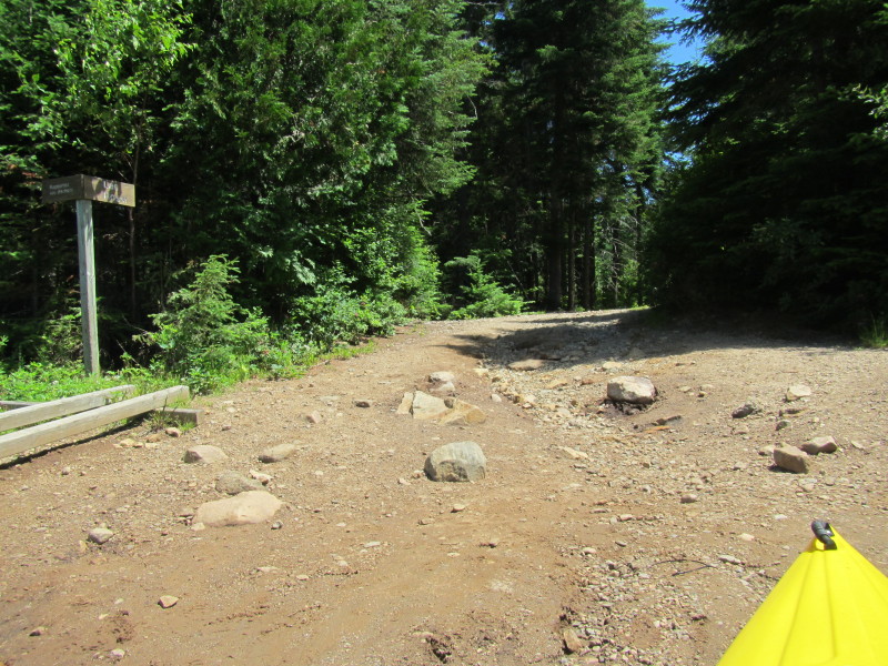
 Surfaced road about to end.
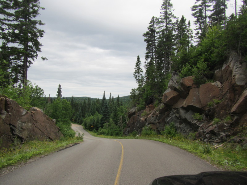
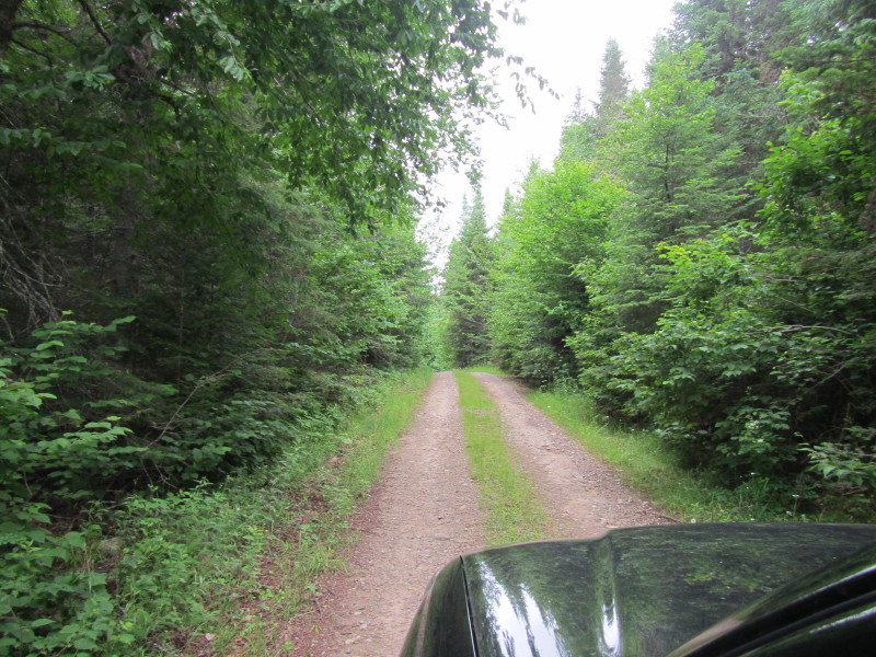 The last few miles to Lac Rossi is on rough road.
 Both American mapmakers GoogleMap and MapQuest labels the road to Lac Rossi
as "runnamed road".
Both American mapmakers GoogleMap and MapQuest labels the road to Lac Rossi
as "runnamed road".
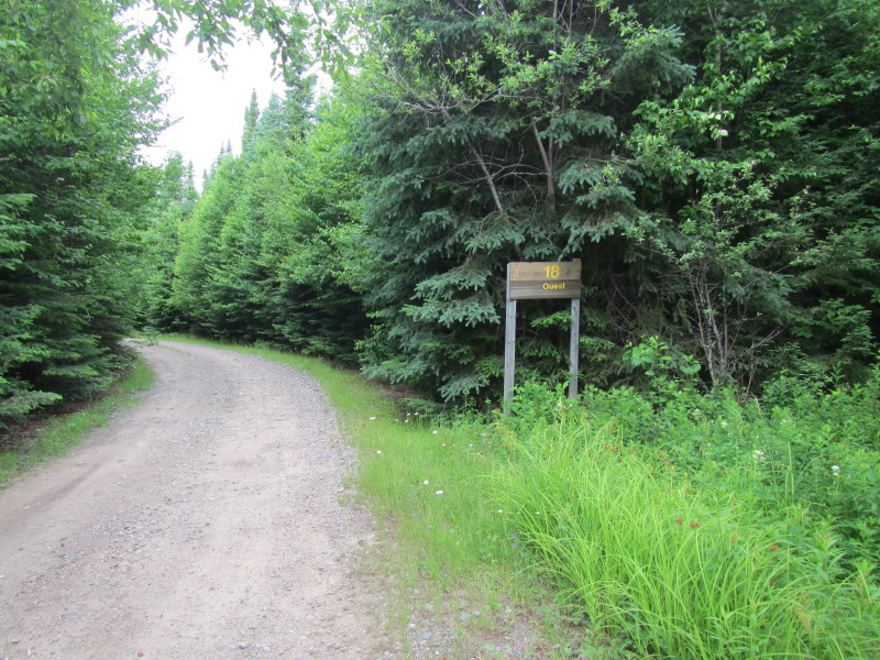
Coming here, it is clear it is on Route 18 Ouest (West) after turning left from Route 1. 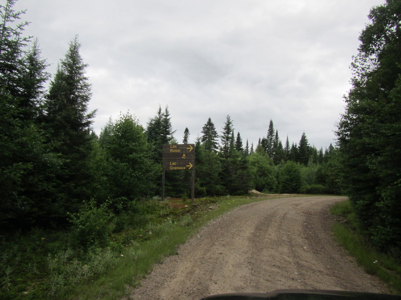 Ok road signs are clear that I am not lost yet.
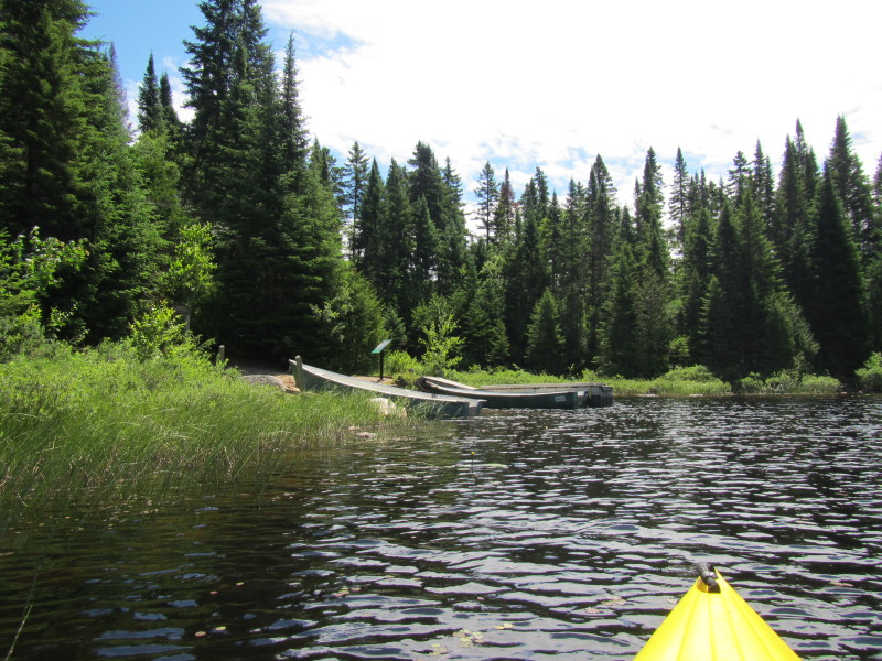
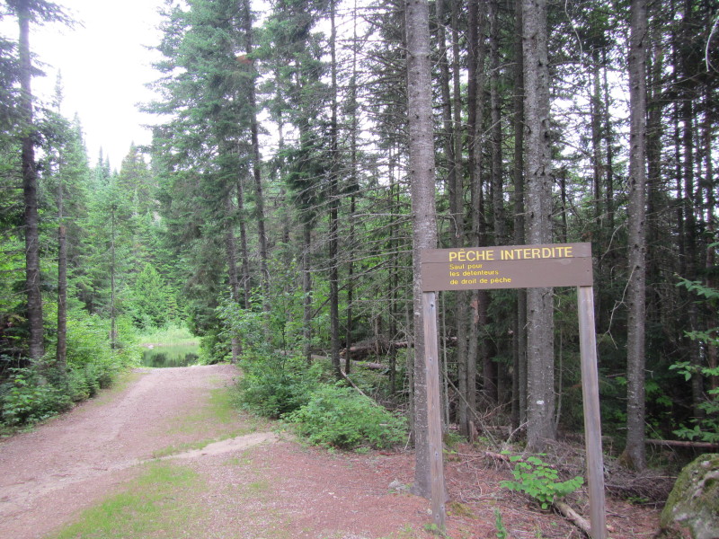 The put in to Lac Rossi.
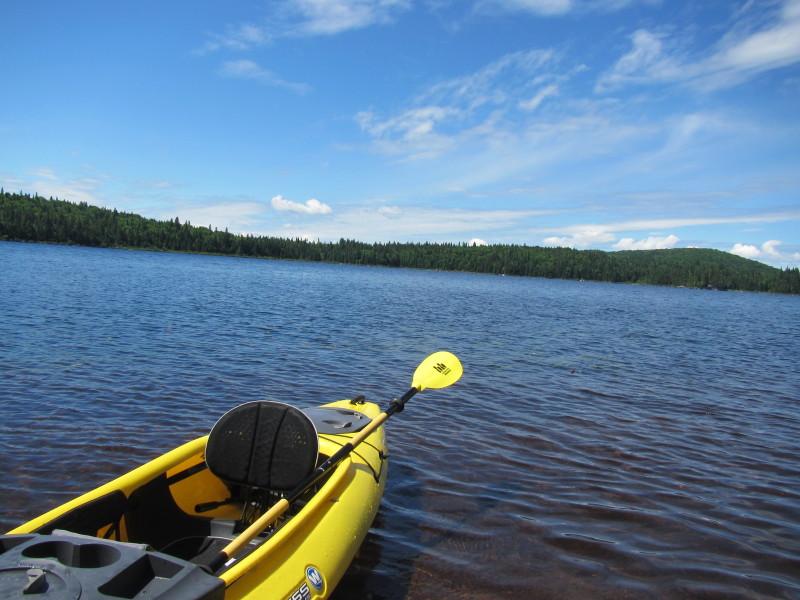
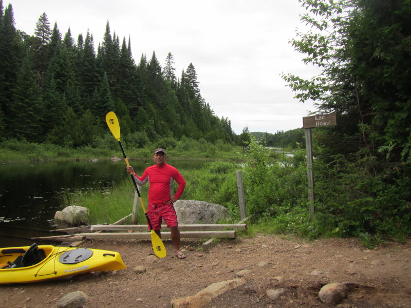 The Boston Kayaker ready to launch on Lac Rossi in La Macaza, Québec.
 To the left of the launch put in is the Lac Rossi Dam.
Can hear but can not see. 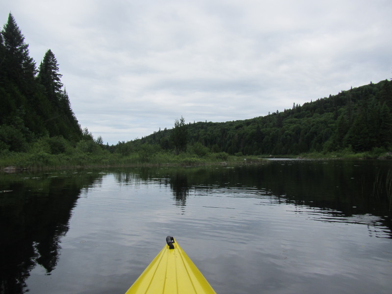 The Boston Kayaker just launched on Lac Rossi inside Parc national du Mont-Tremblant in La Macaza, Québec.
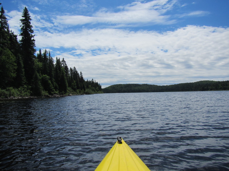
 Paddling north from the put in . . .
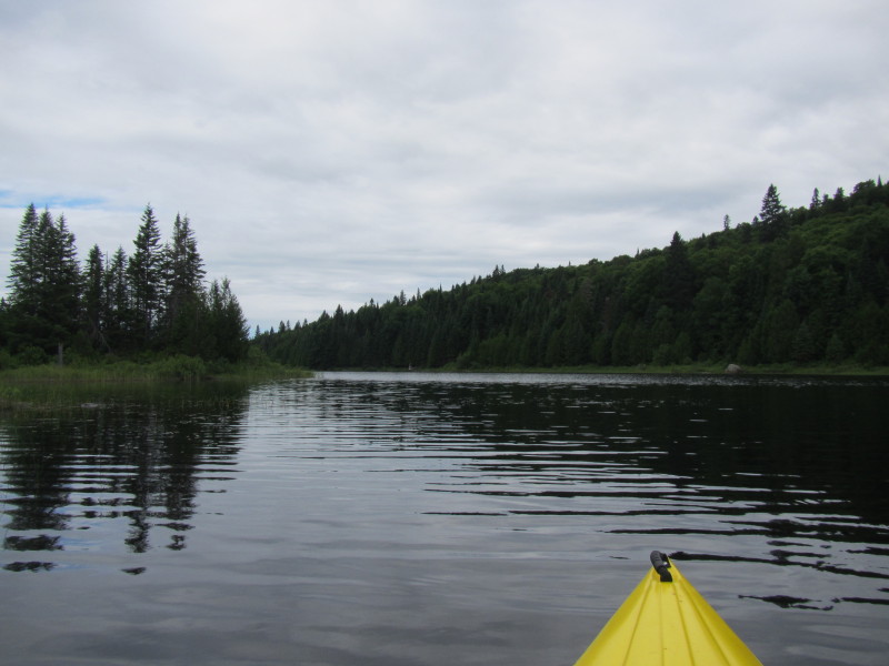
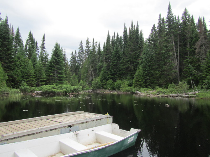
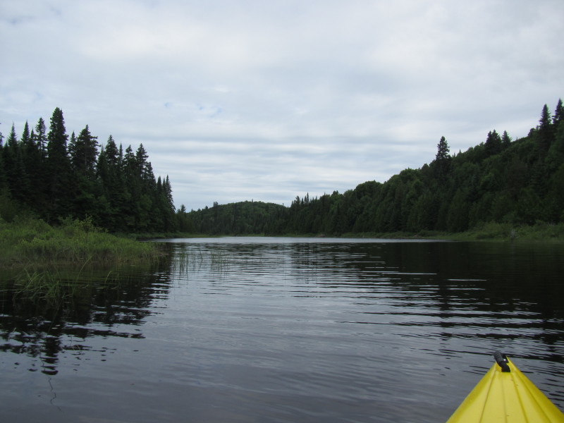
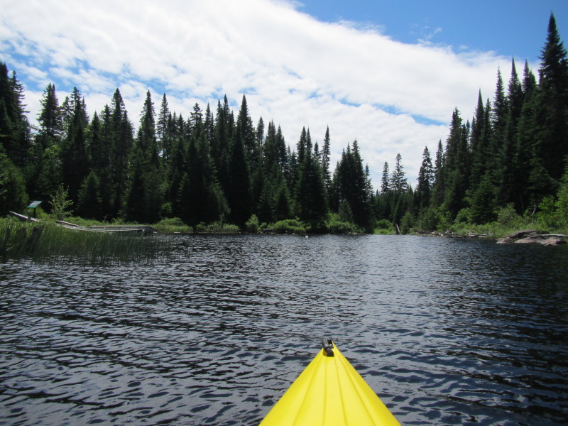
 From Lac Rossi's put in is this river-like narrow neck of water.
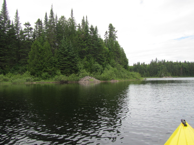 A beaver lodge on Lac Rossi.
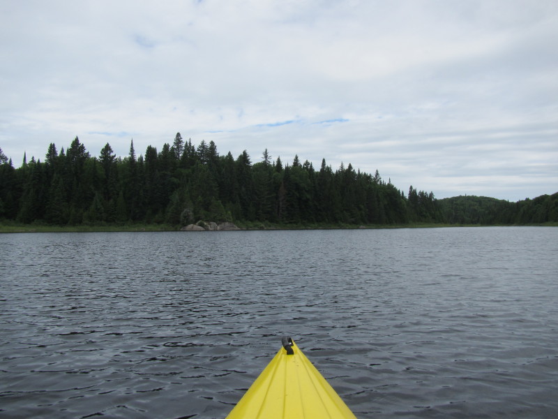
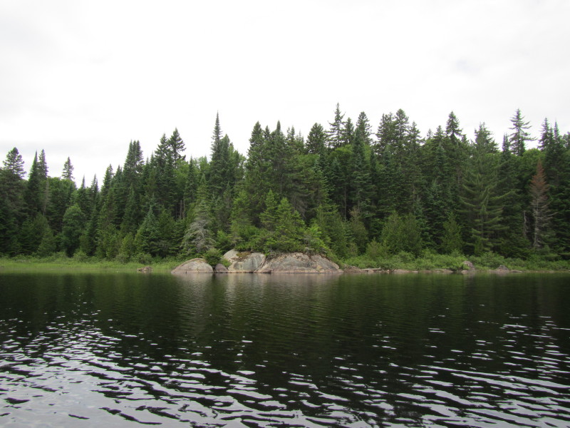
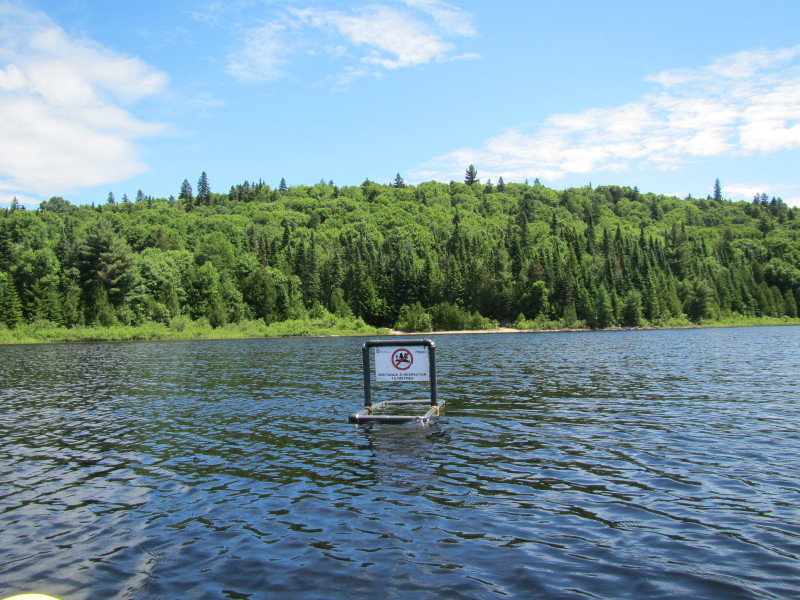
 Those rocks will turn out to mark the entrance to the main body of Lac Rossi.
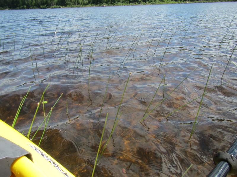
 The rocks at the launch cove entrance in Lac Rossi.
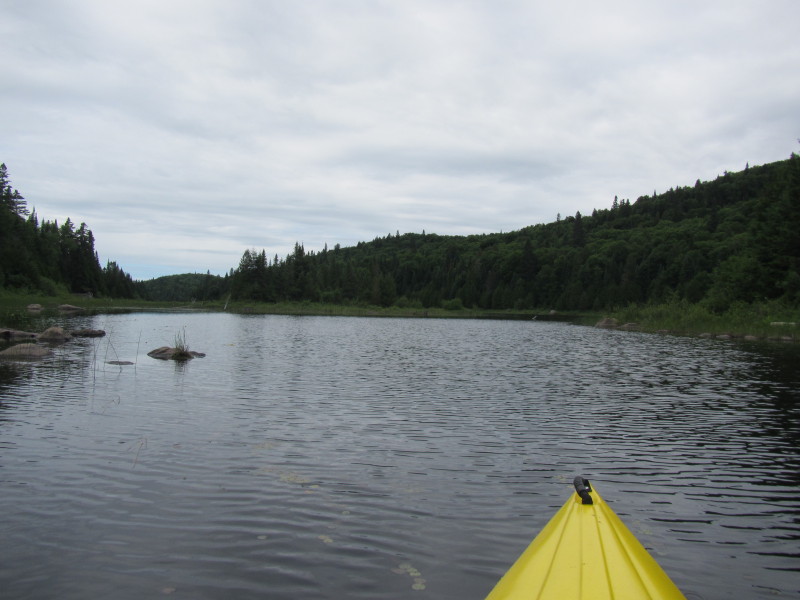
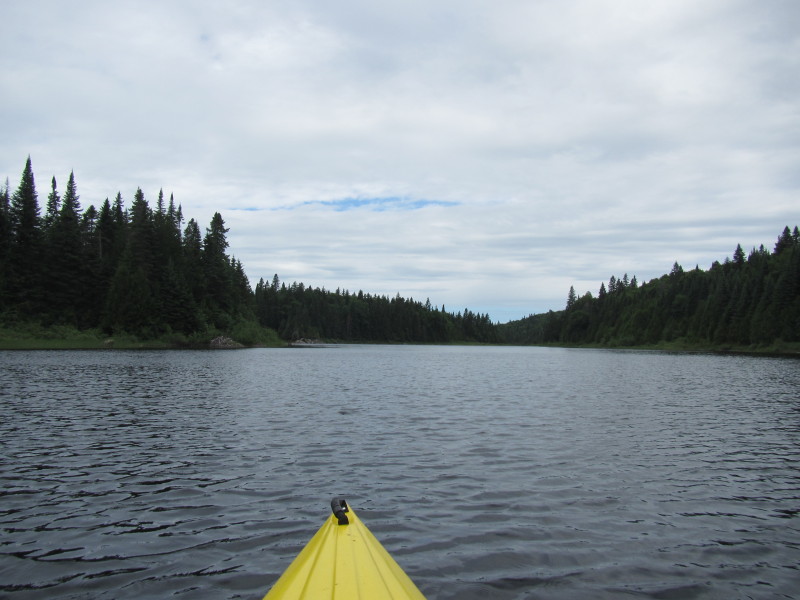
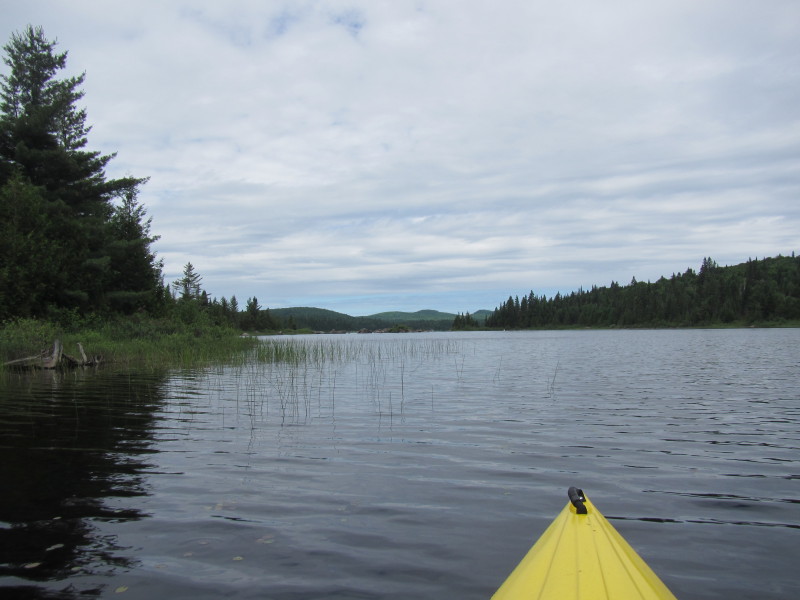
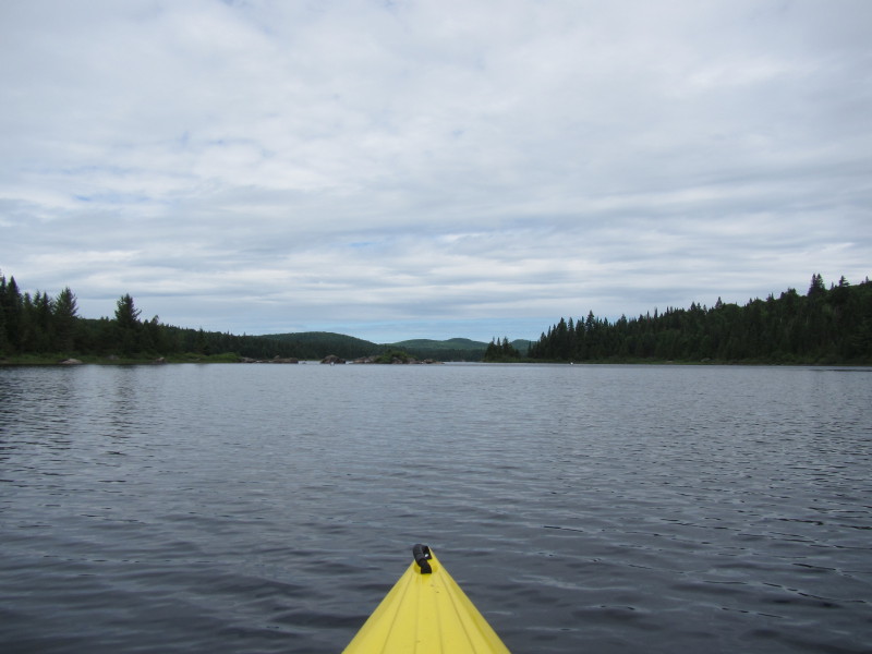
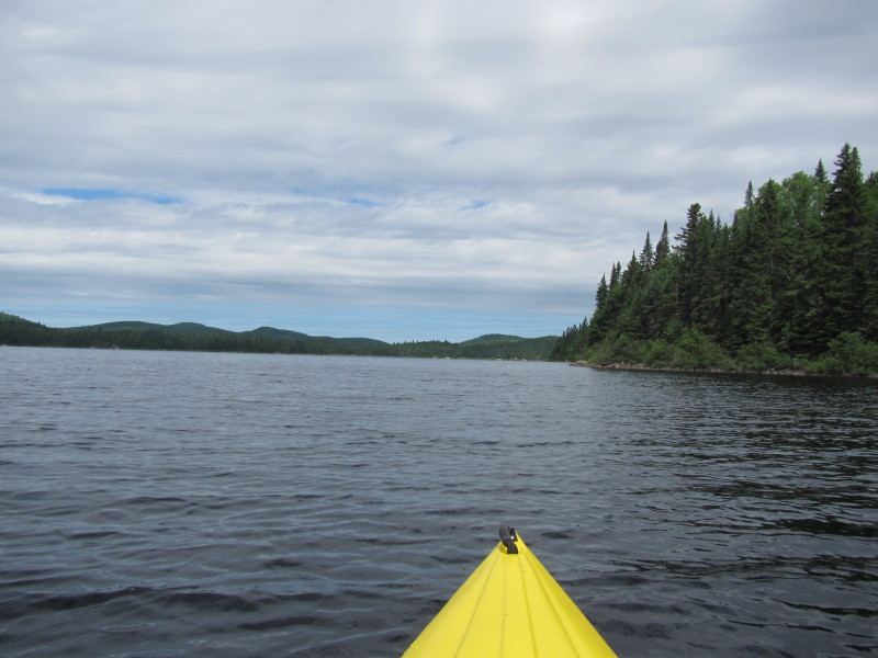
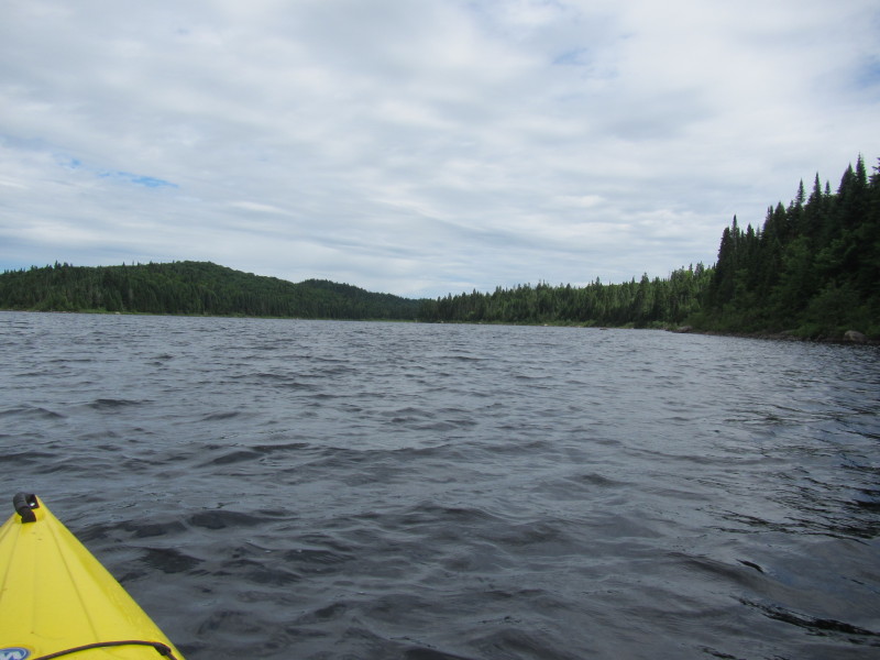
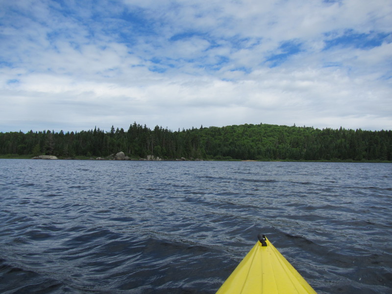
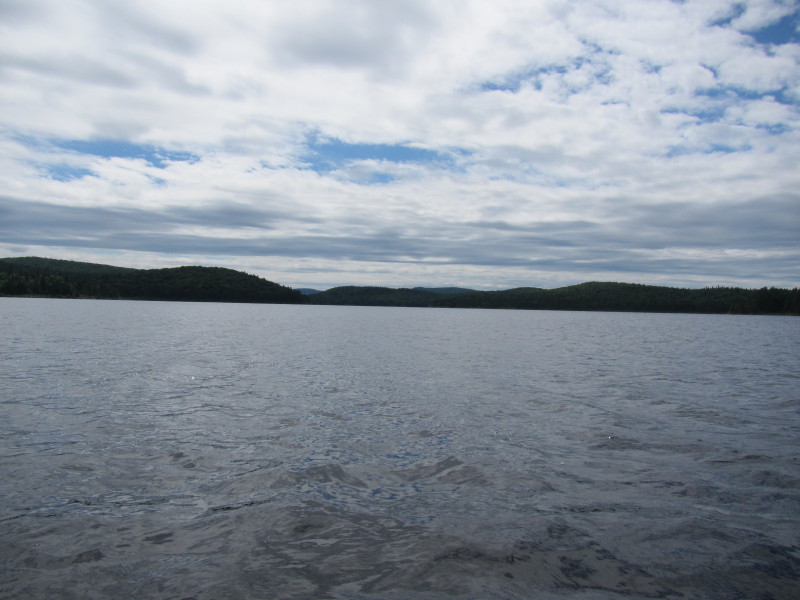
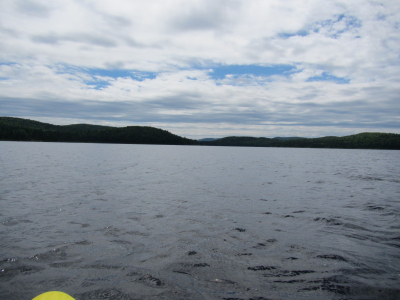
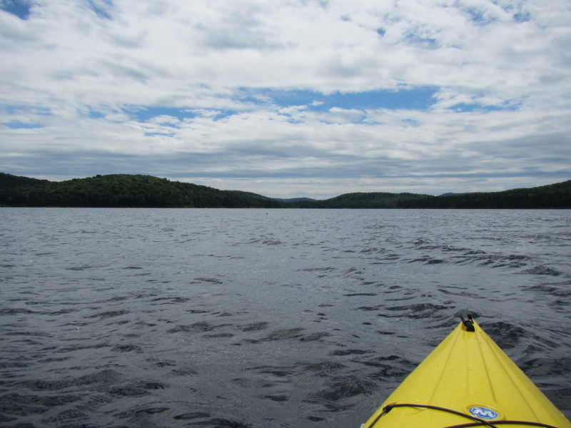
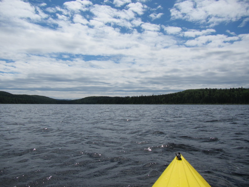
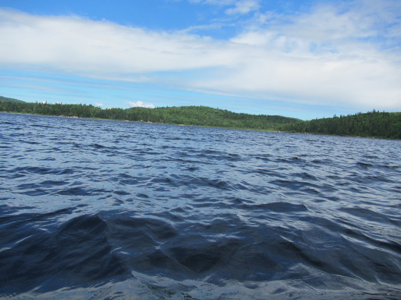
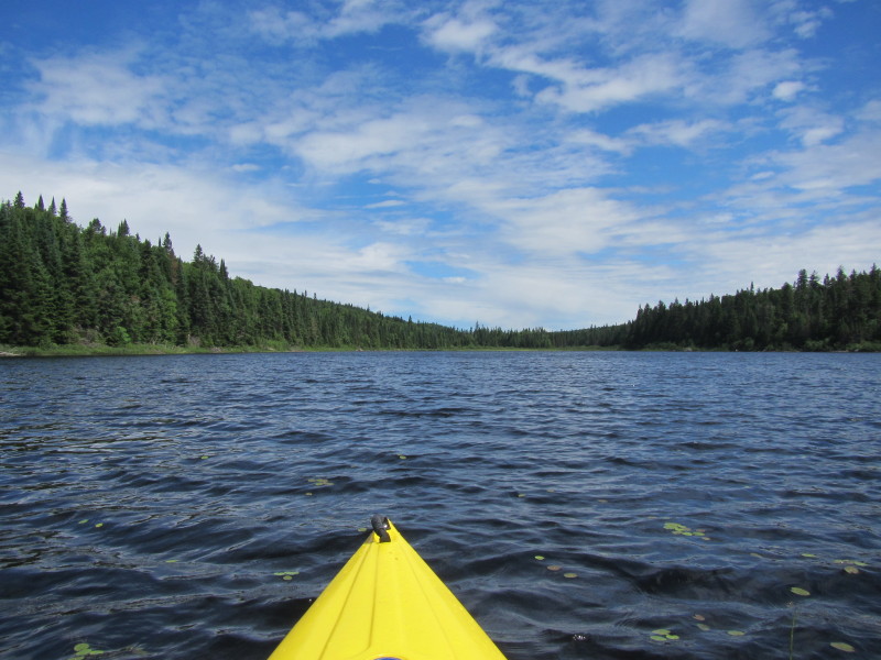
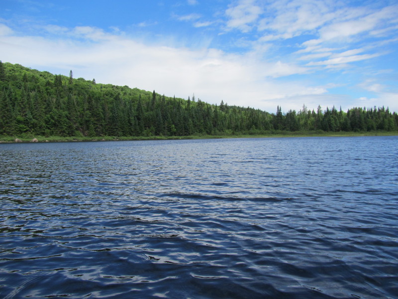
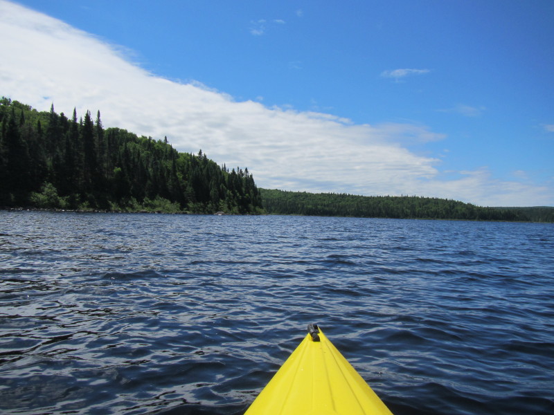
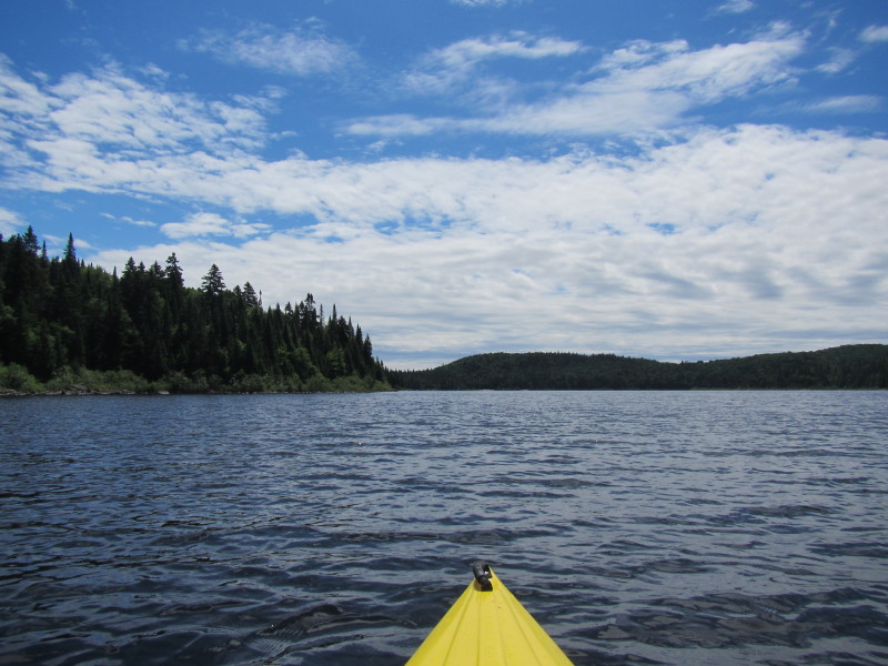
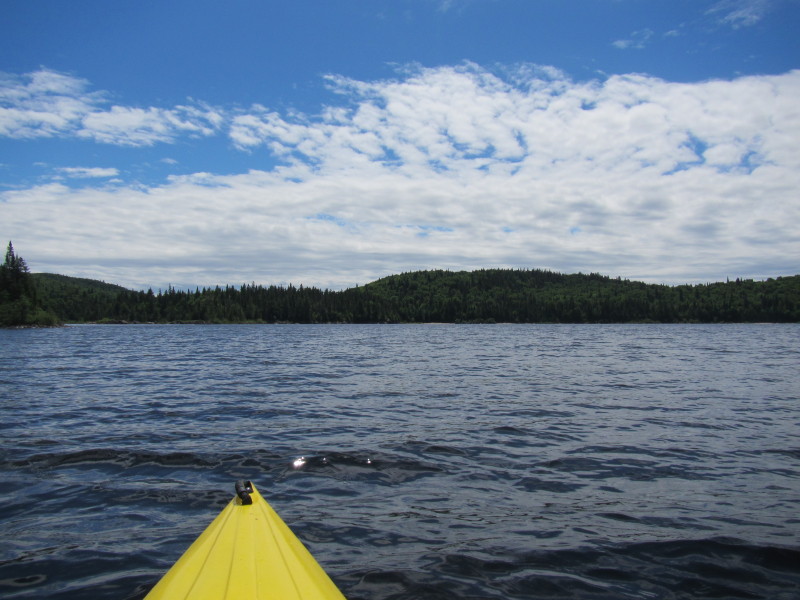
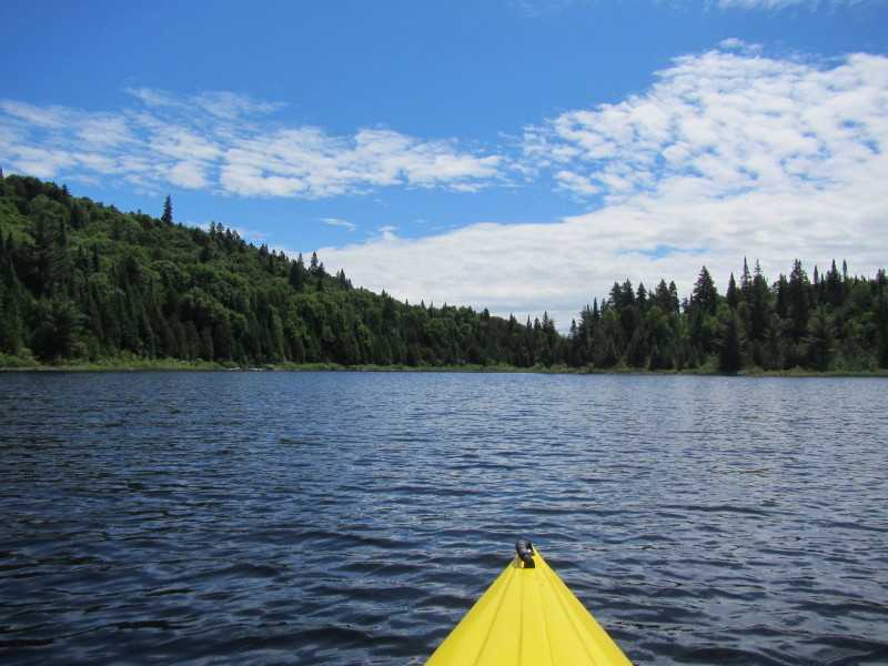
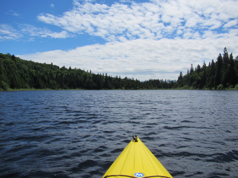
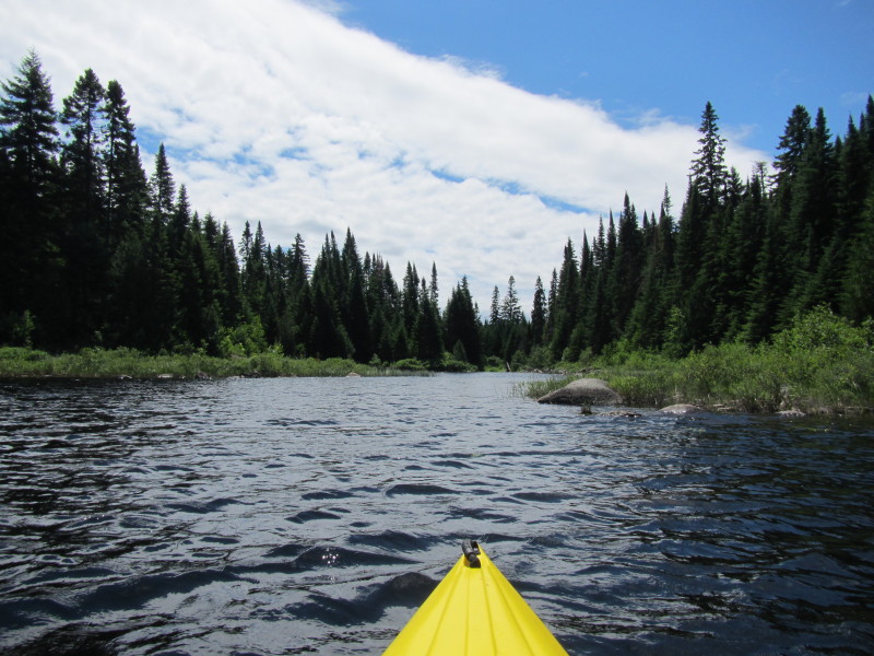
 Past the rocks, I can now see most of Lac Rossi (except the northeastern cove).
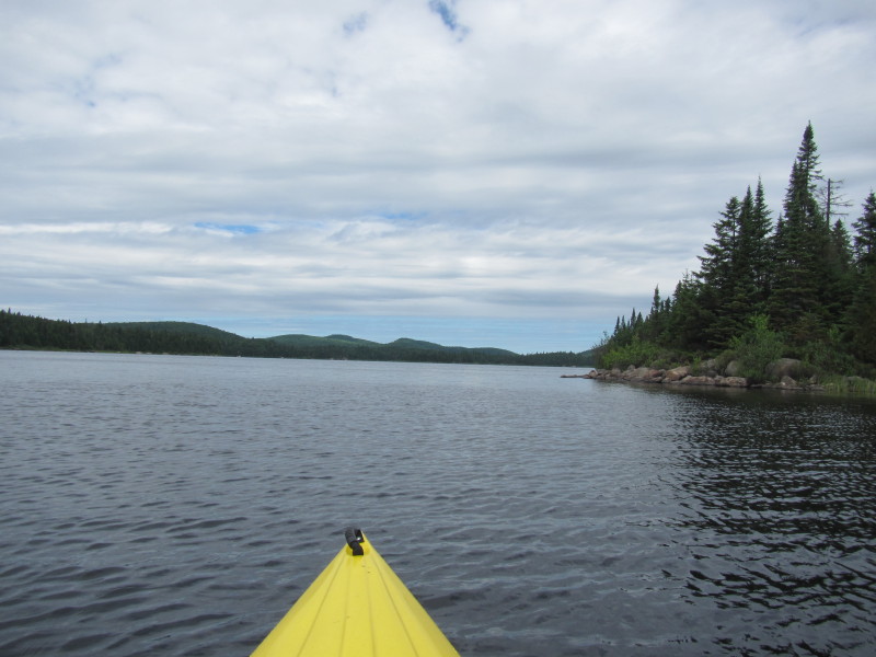 I will paddle Lac Rossi counter-clockwise and follow the shore on my right.
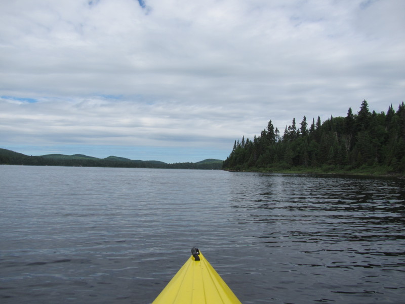
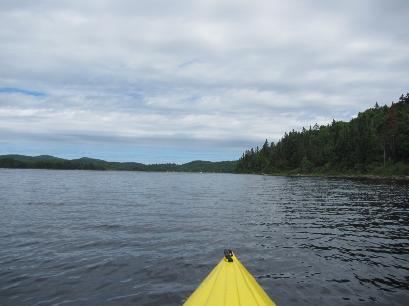
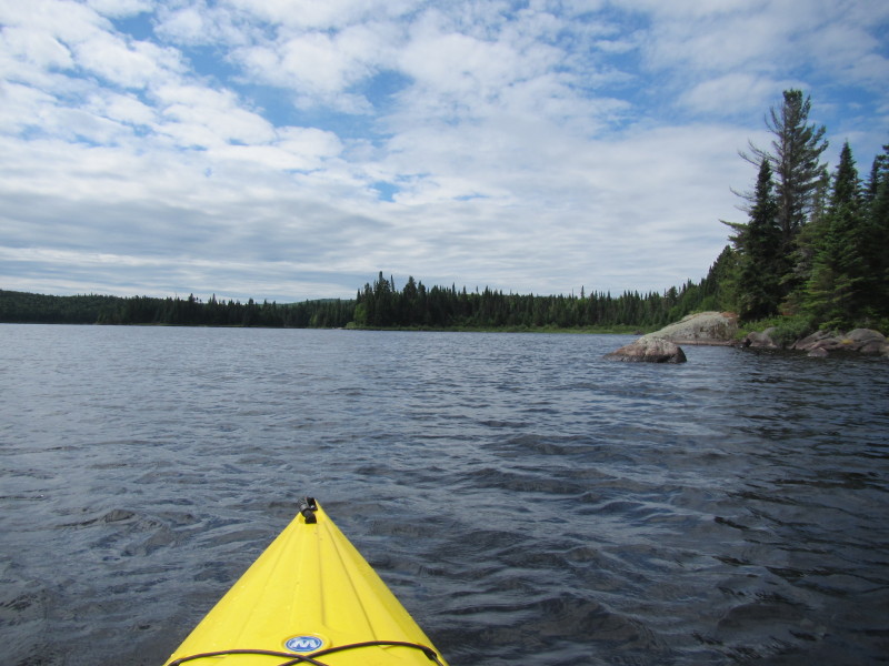
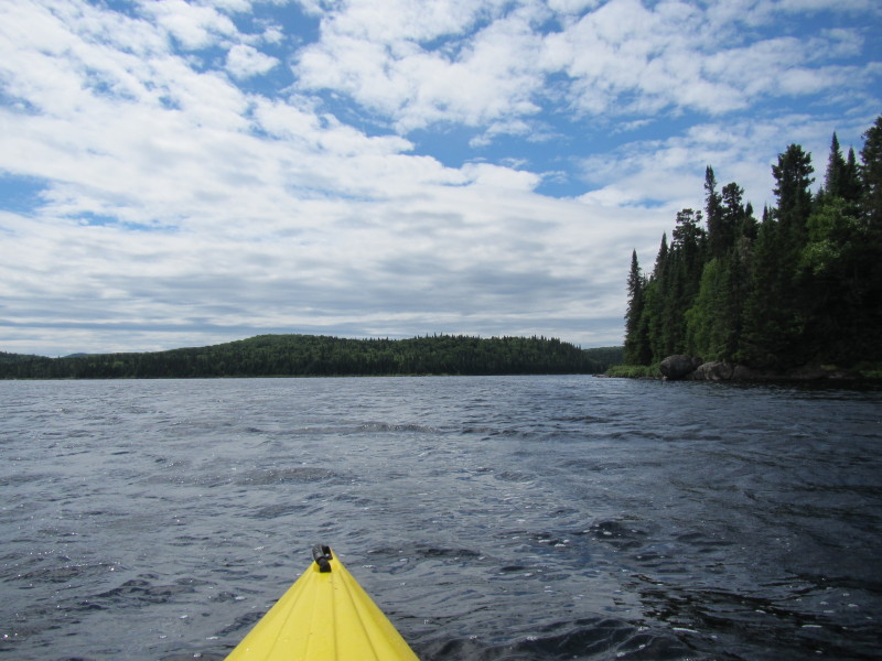
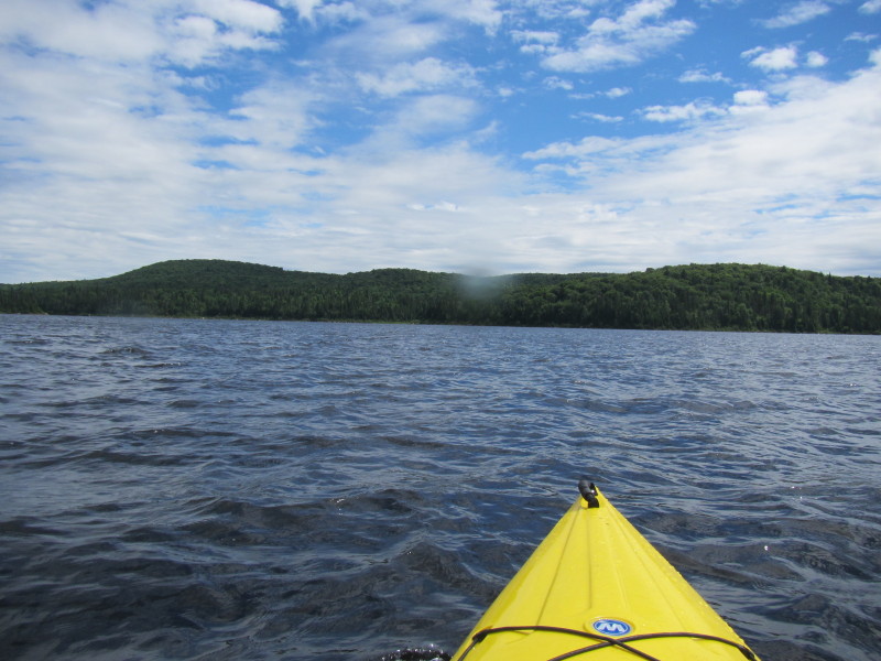
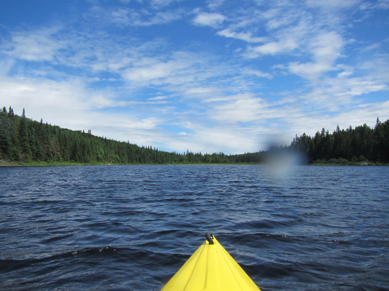
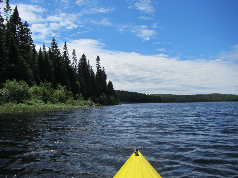
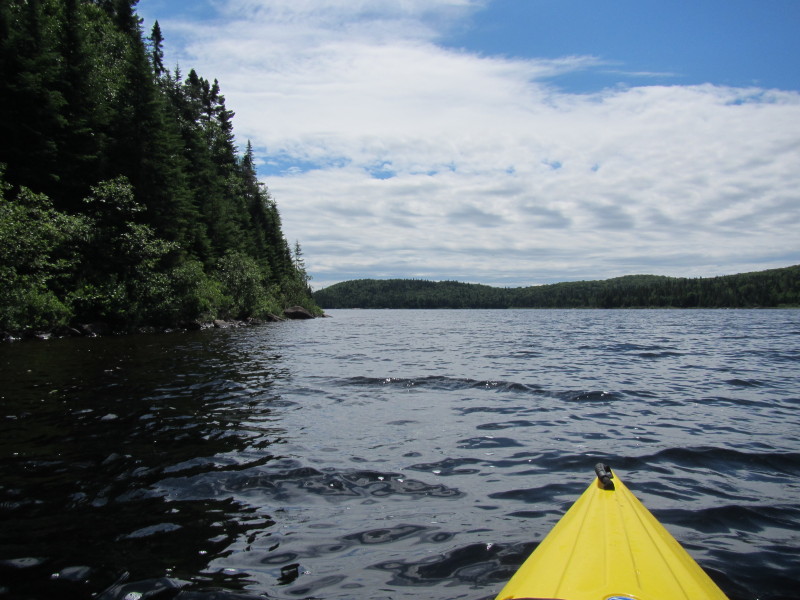
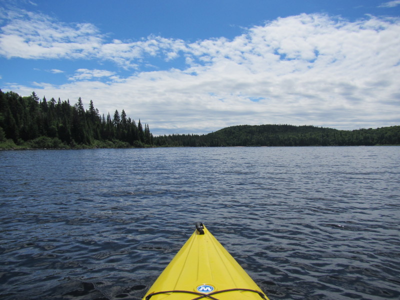
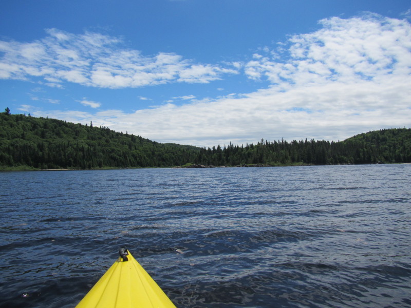
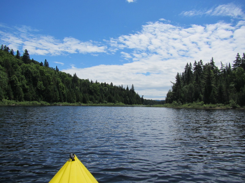
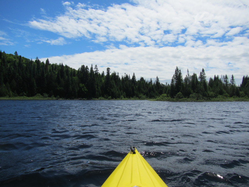
 I have now reached the point where I can see the northeastern cove on my right.
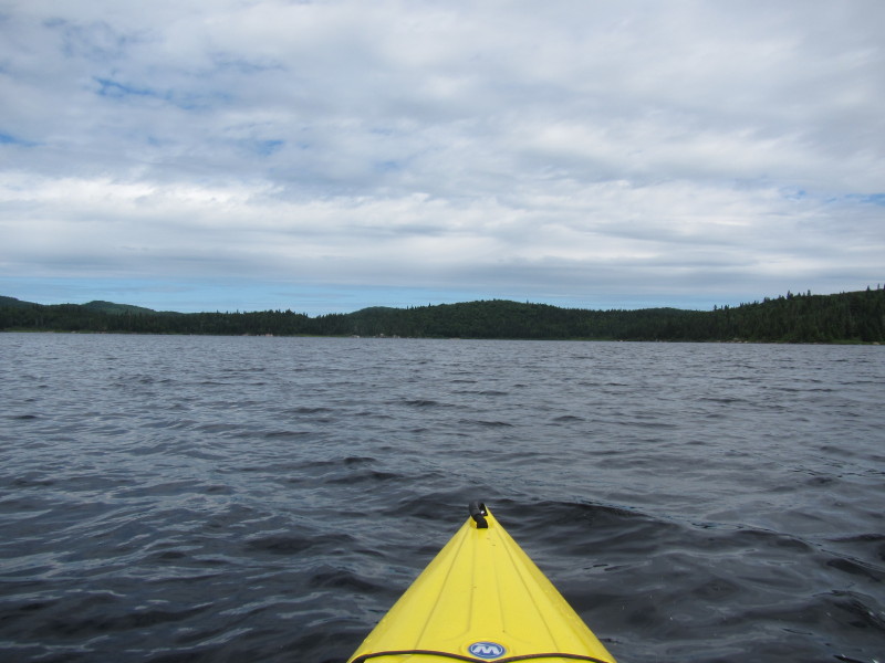 I will cut corners and skip the cove on my right and head straight to the northwestern cove.
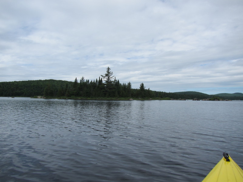
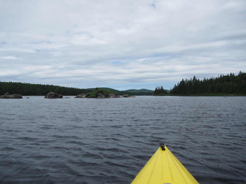
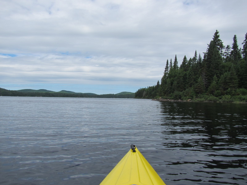
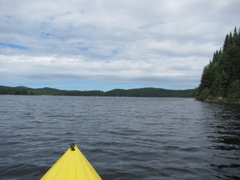
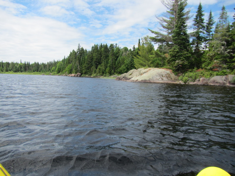
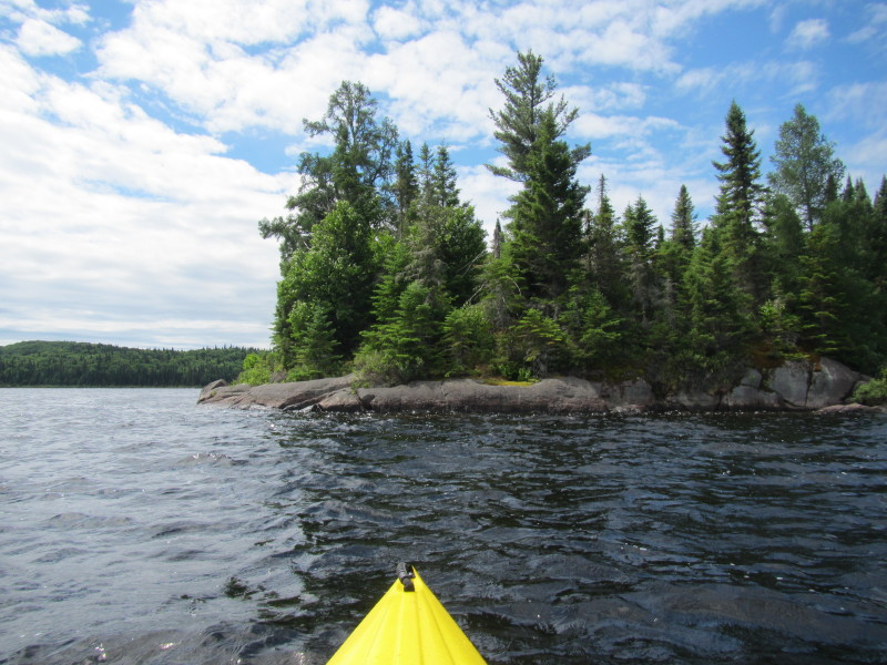
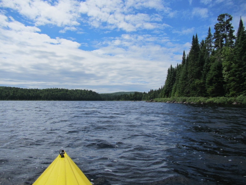
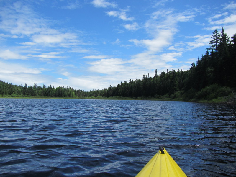
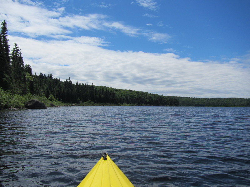
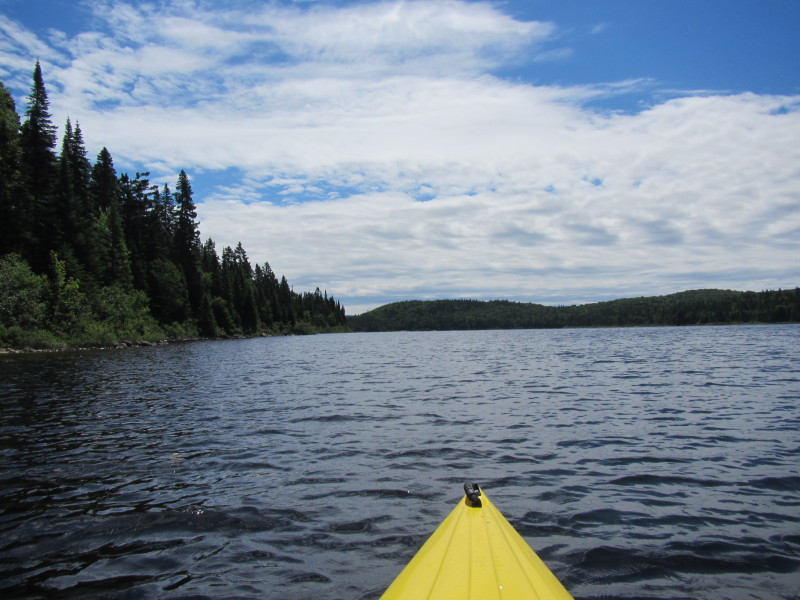
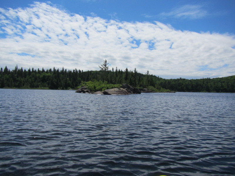
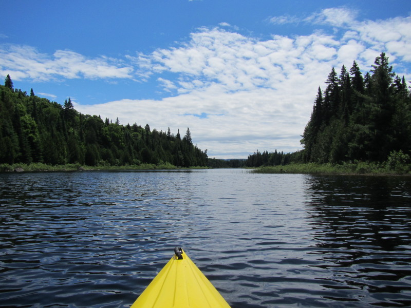
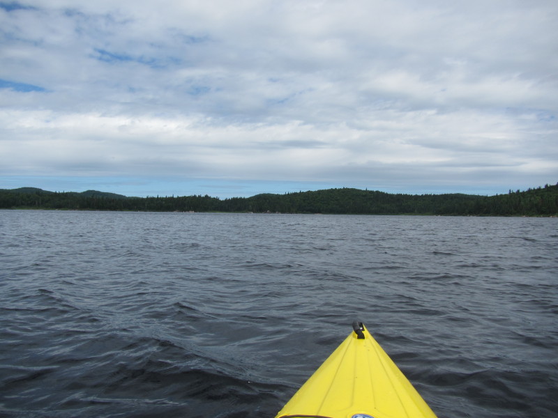 I am aiming for those rocks straight ahead.
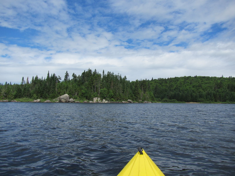
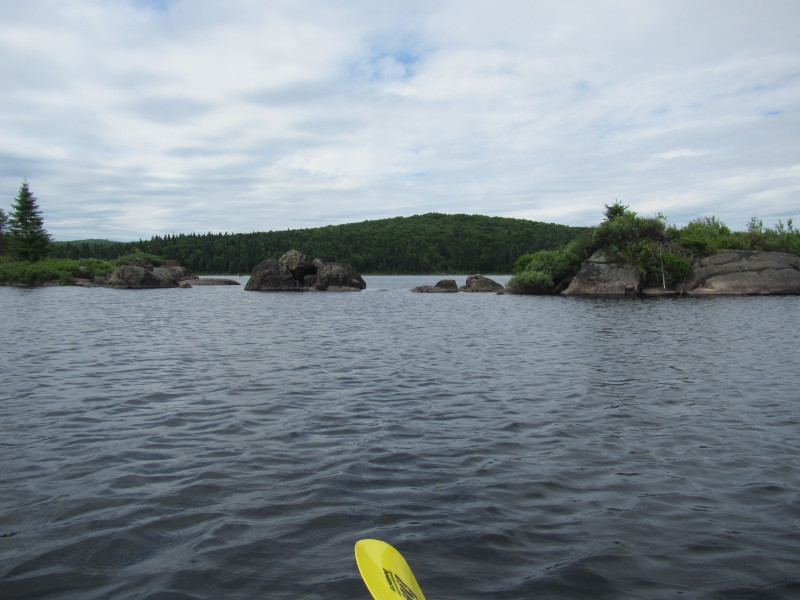
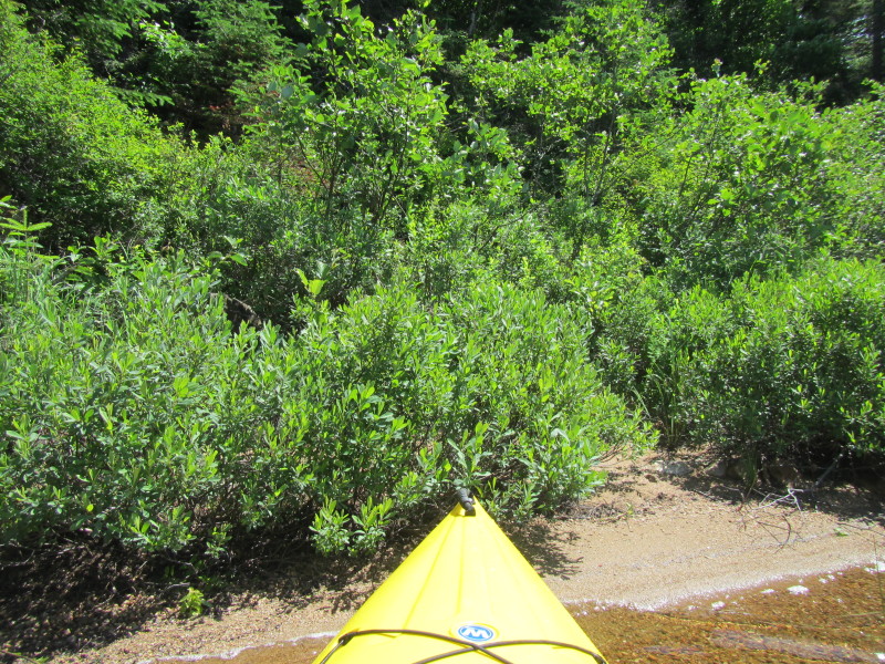
 Finally got close to these rocks that I used as my lighthouse to get to the northwester shore of Lac Rossi.
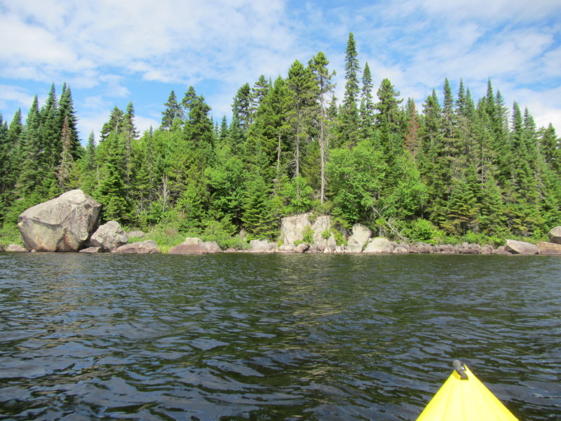
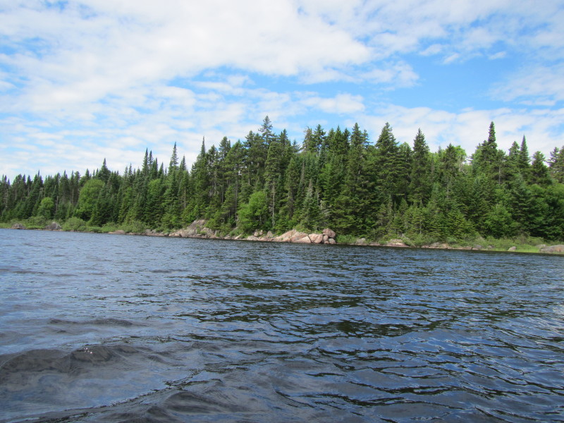
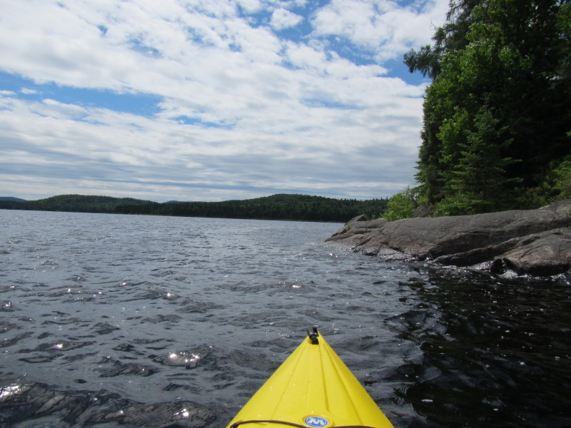
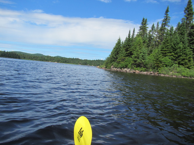
 Just turned left and will continue my counter-clockwise paddle and again hug the shore on my right.
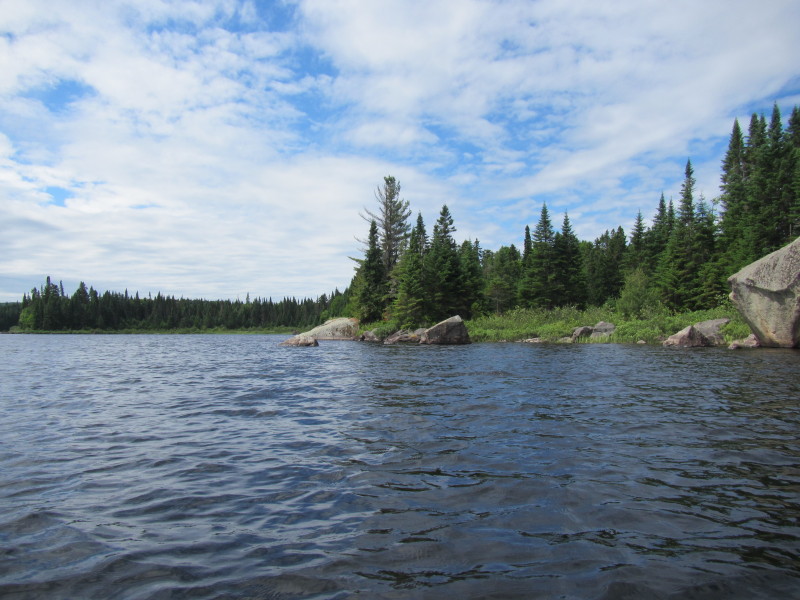
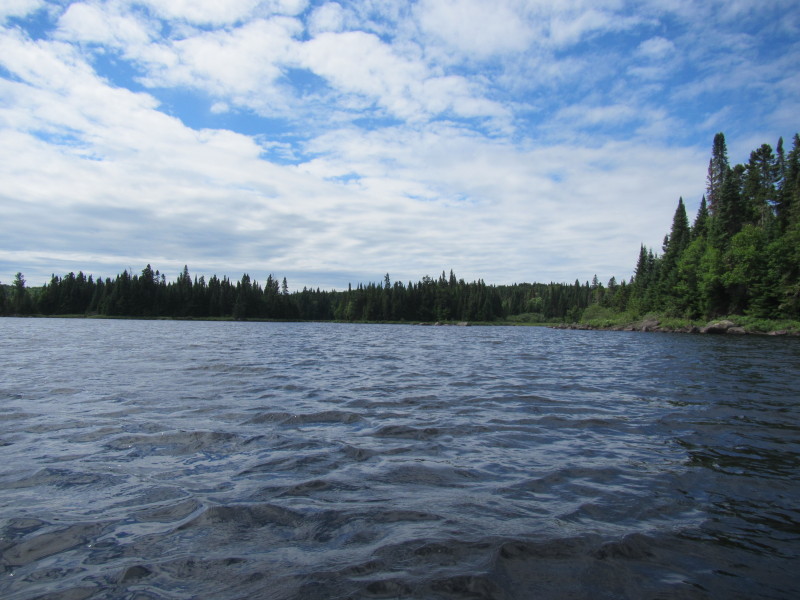
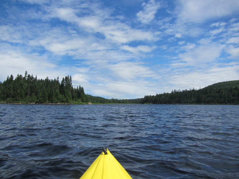
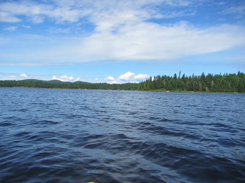
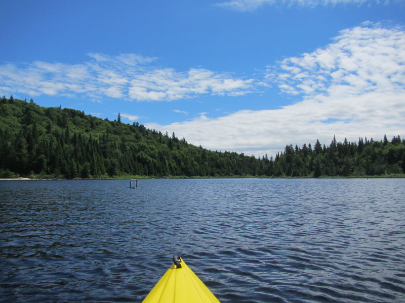
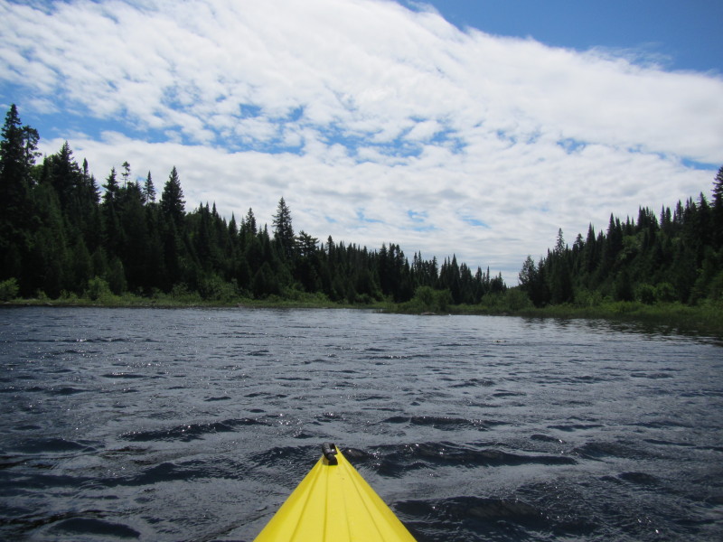
 On my left is Lac Rossi viewed from the northwestern end.
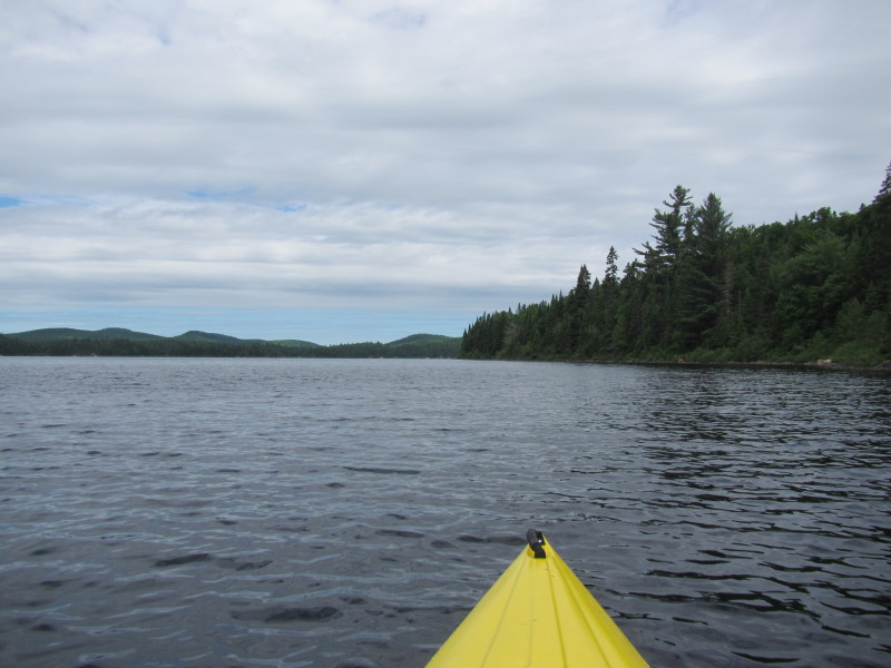
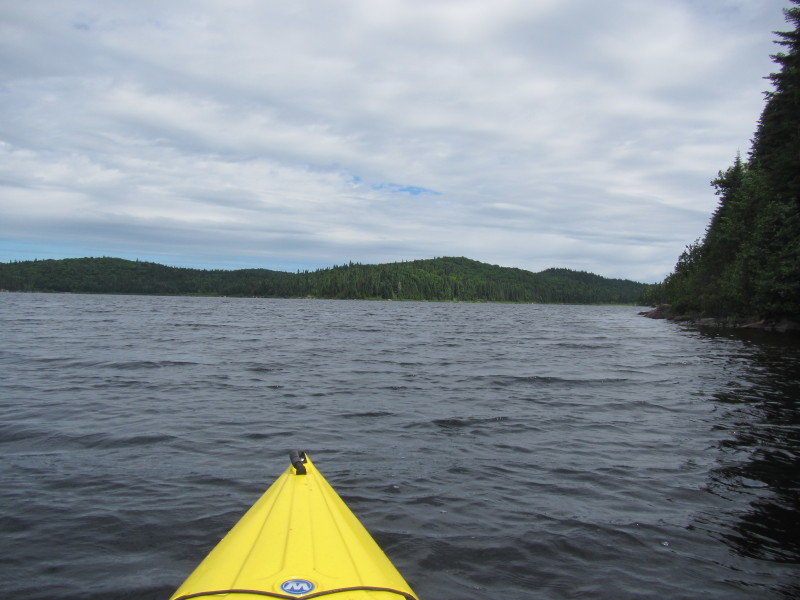
 Paddling southwards with Lac Rossi's western shore on my right.
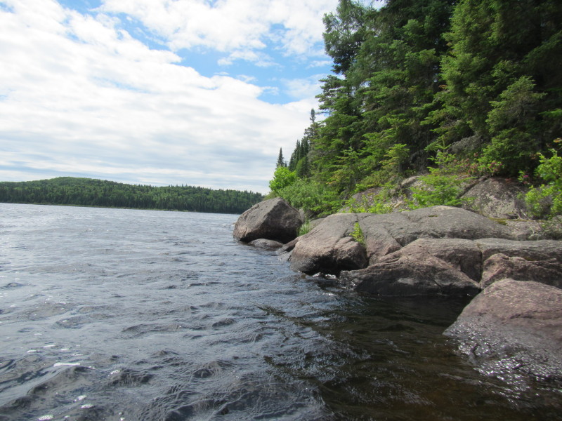
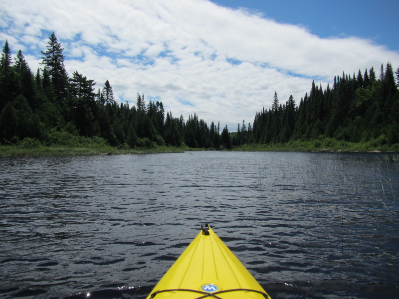
 At this point, I will again skip the south western cove and head straight east.
 Just turned left. Will paddle straight ahead to the other side.
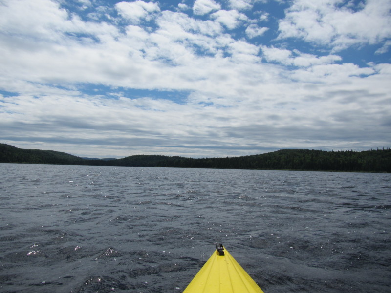
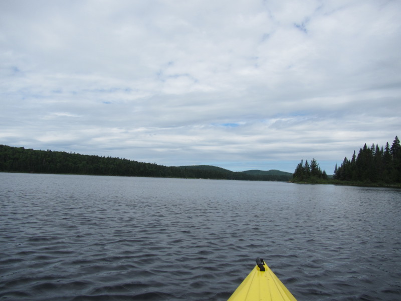
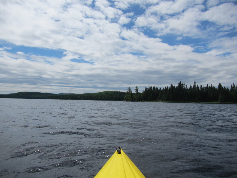
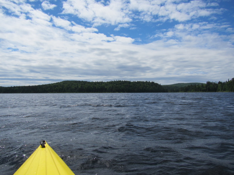
 I am now in the middle of Lac Rossi.
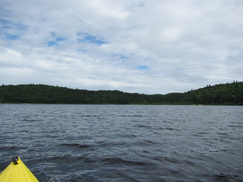
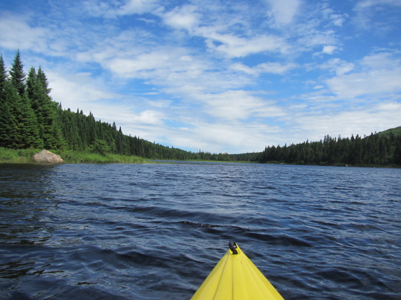
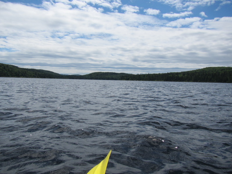 Looking north to my left, Lac Rossi.
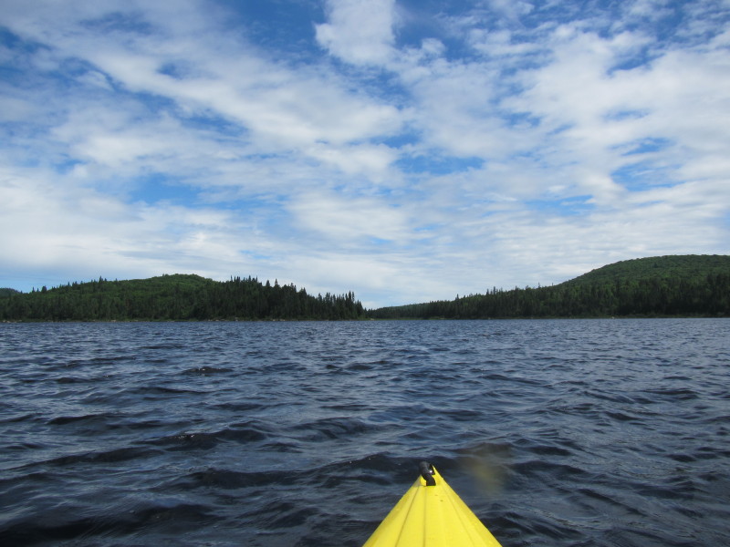
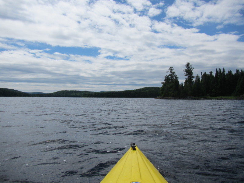
 Now approaching the cove to my take out.
 I have now reached the eastern coast, paddling south with the shore on my left.
 Took a break to stretch my legs.
 Back on the waters of Lac Rossi.
 I can now see the rocks marking the take out cove.
 Now into the Lac Rossi launch cove.
 The take out to my right, and directly in front of me is the unseen Lac Rossi dam.
 Landed. I was on the waters of Lac Rossi for just under 2 hours.
|