 Kayaker

| |||||||||||||||||||||||


|
Download printer-friendly
PDF version that fits in one page: |

|
|
Other resources:
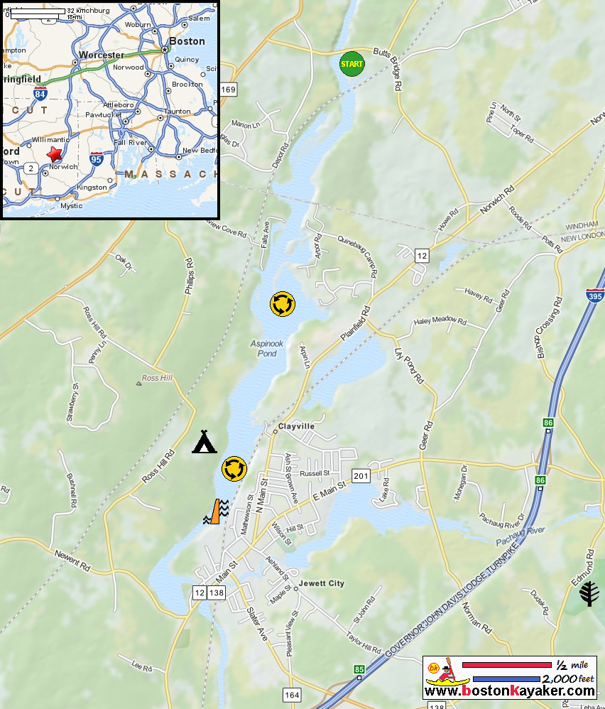
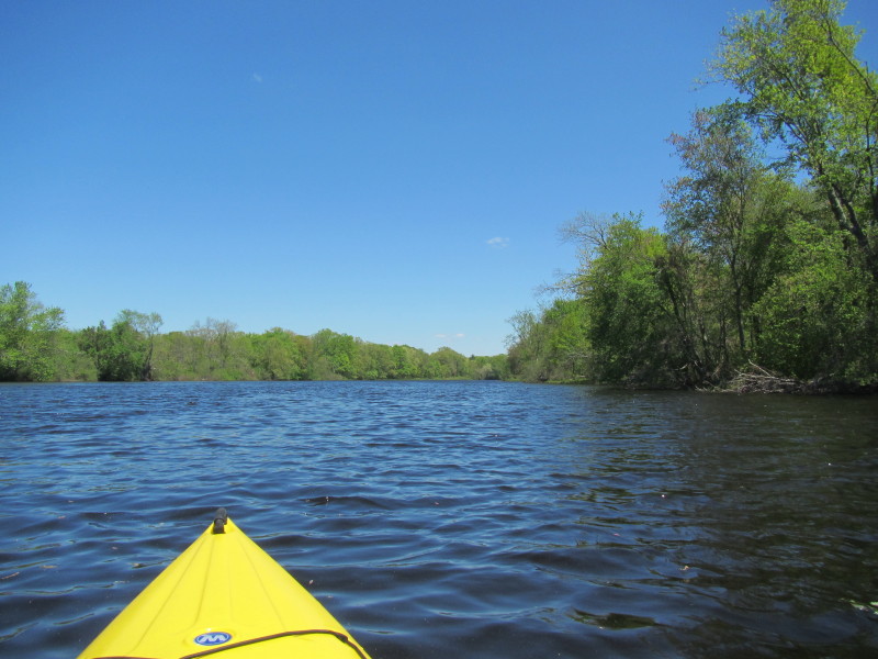
The Last Green Valley: The 2012 Quinebaug River Paddle Guide (see page 23) The Last Green Valley: The 2012 Quinebaug River Paddle Guide (cached copy) Ross Hill Family Campground CT Govt: Hopeville Pond State Park All photos in this website are original and copyrighted. 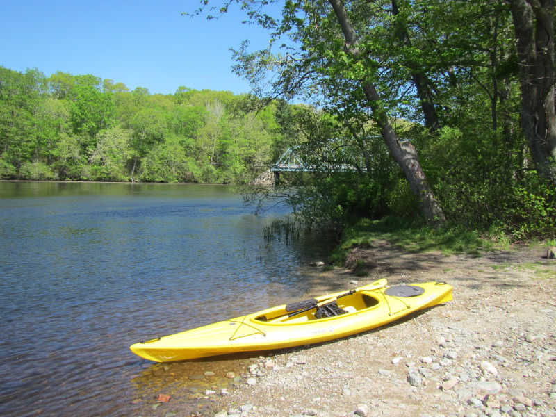 At the Butts Bridge launch to Quinebaug River and Aspinook Pond in Canterbury CT.
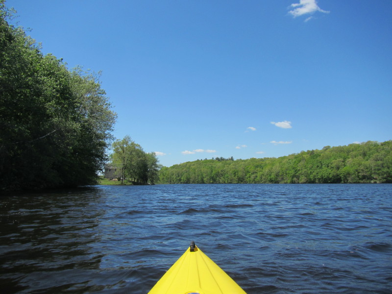
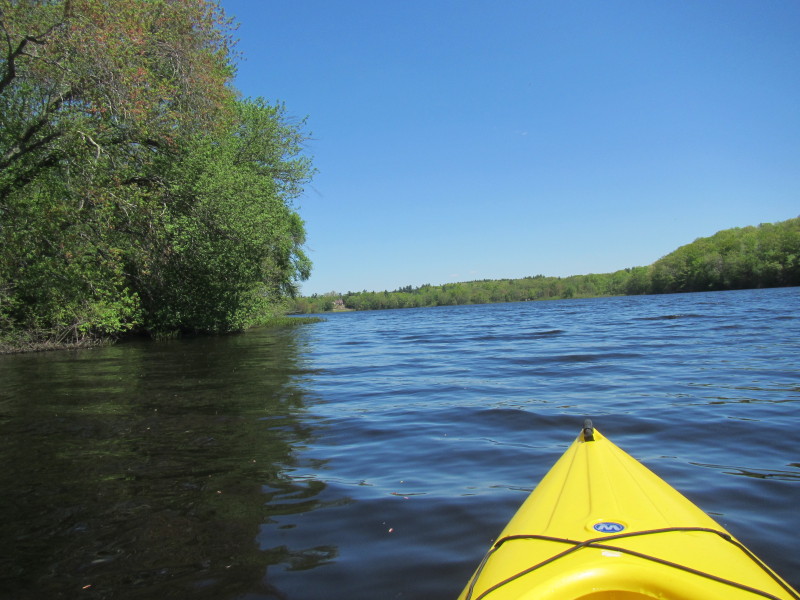
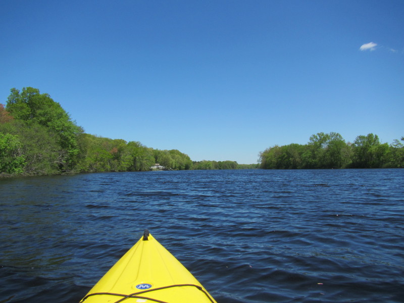
Trip date is May 2014. 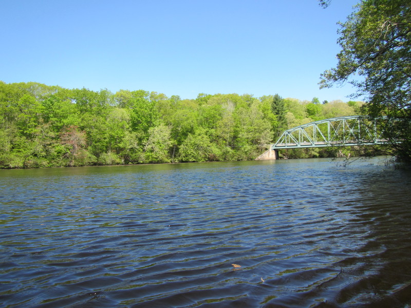 Just launched on Quinebaug River, looking to my right, Butts Bridge.
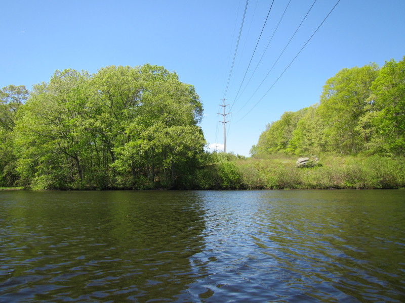
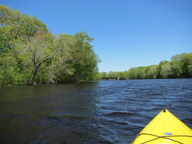
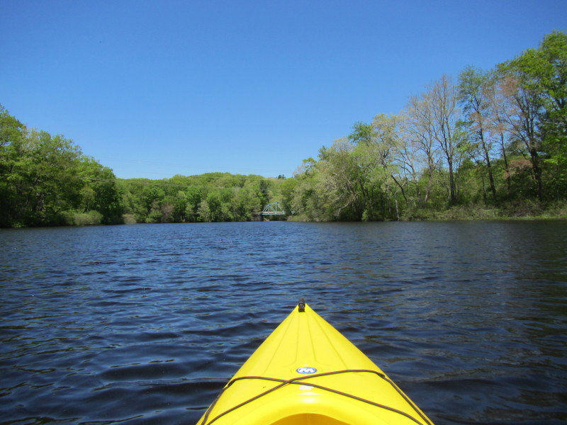
 Facing south, this railbridge visible from launch site.
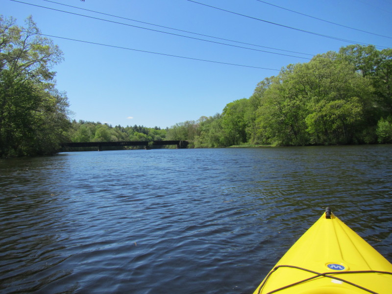
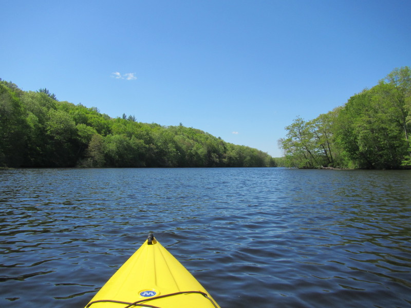
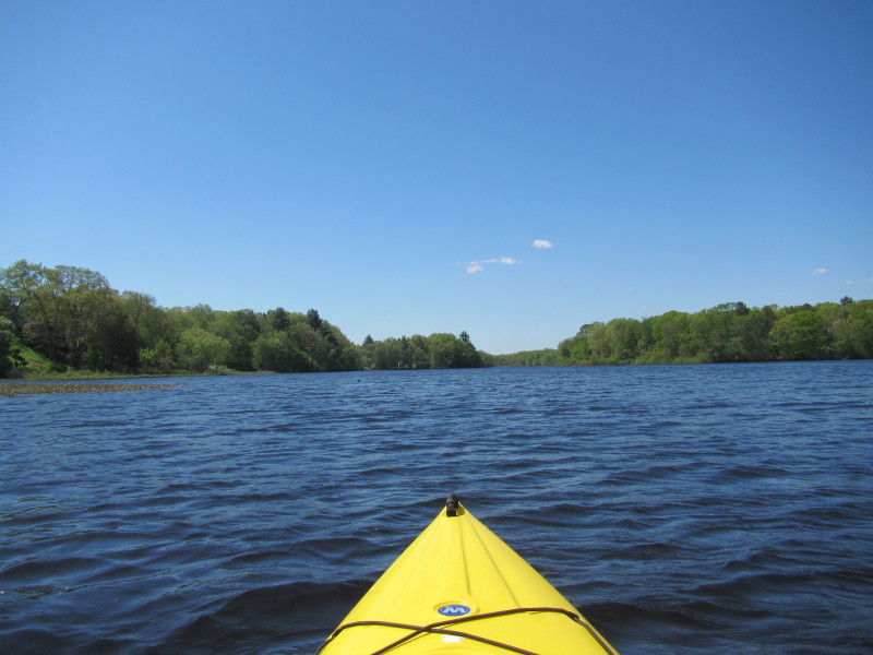
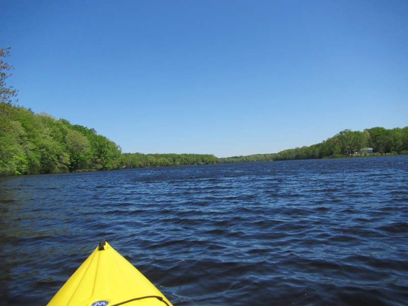
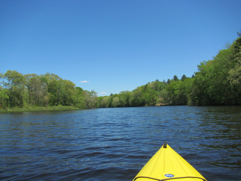
 Paddling southwards downstream to Aspinook Pond Dam.
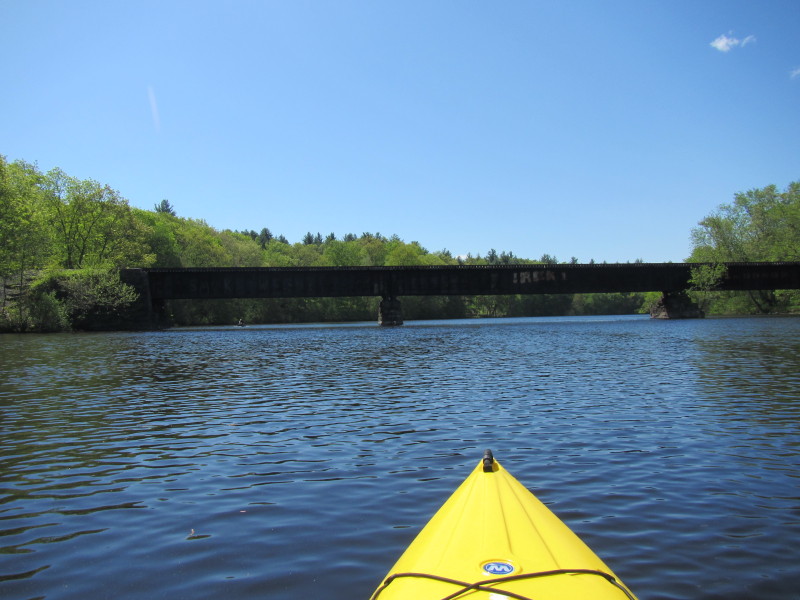
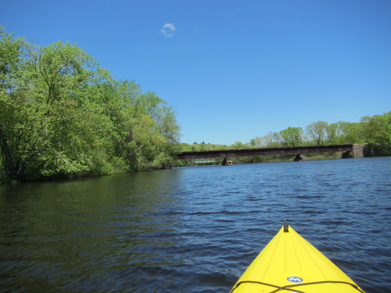
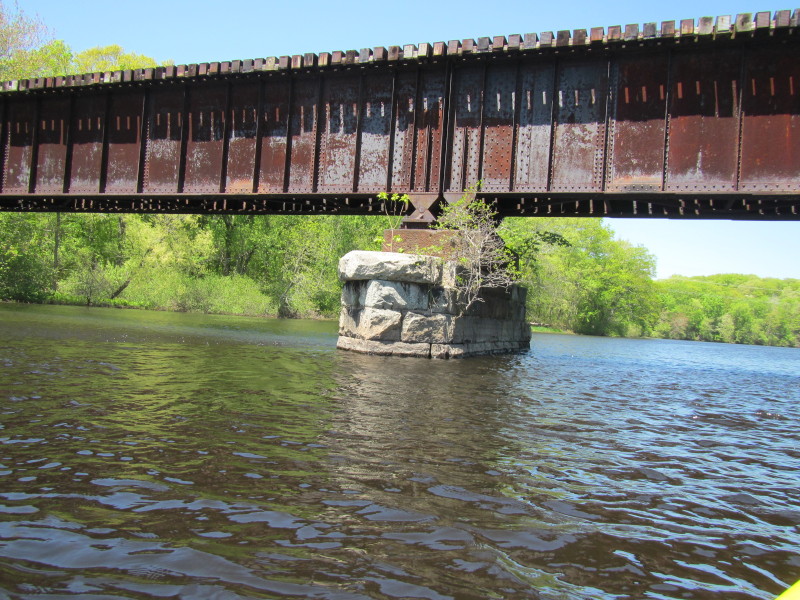
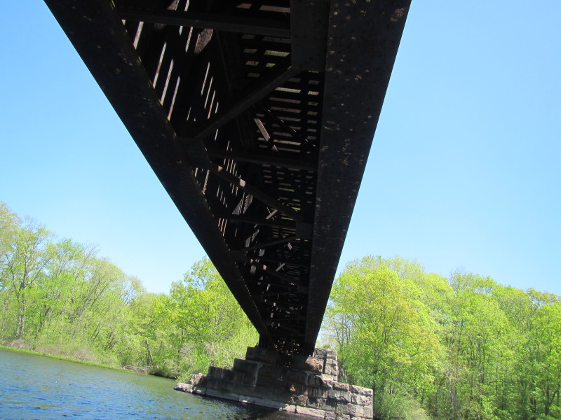
 Crossing under the rail bridge.
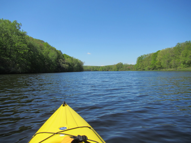
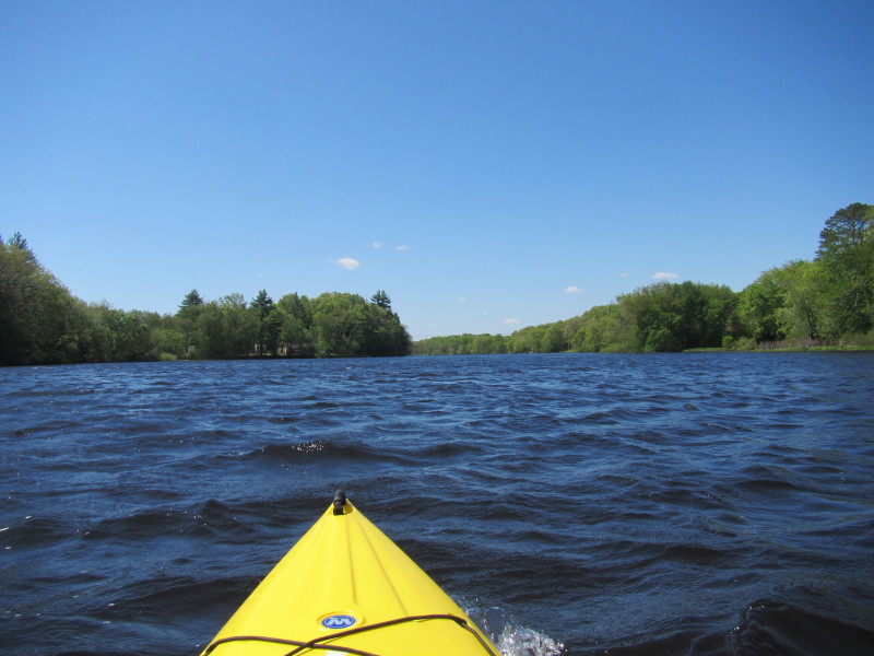
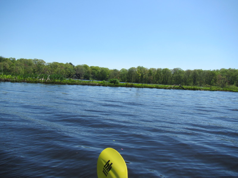
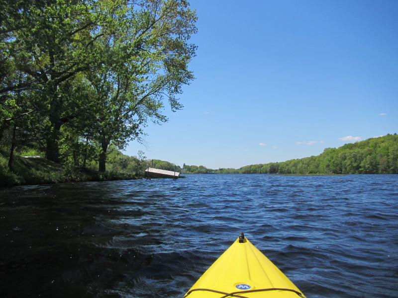
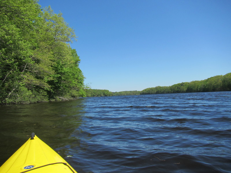
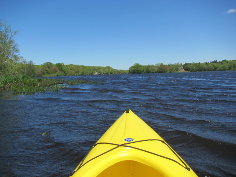
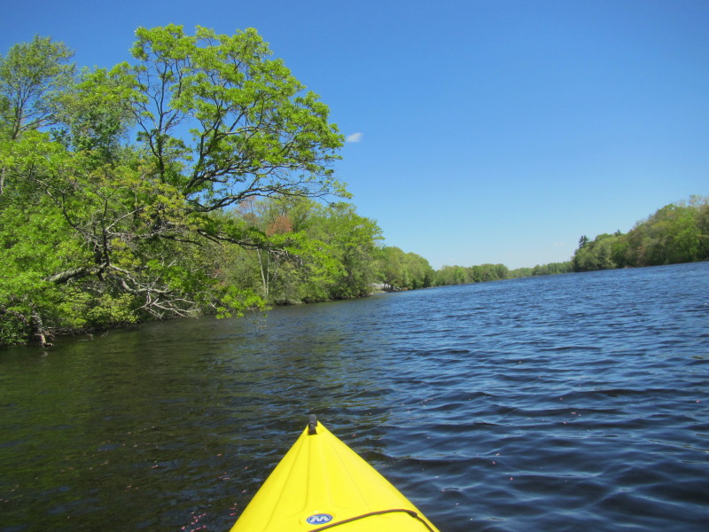
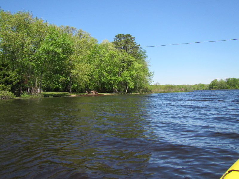
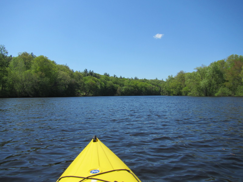 River bending to the right . . .
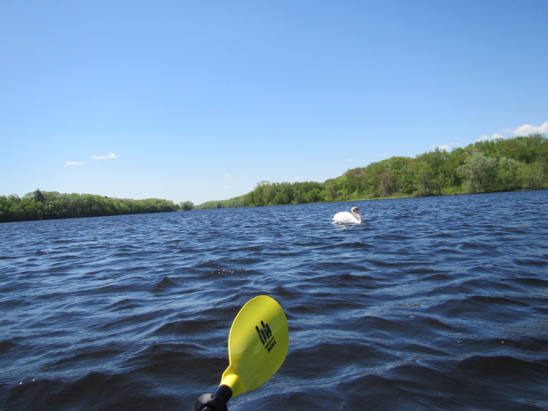
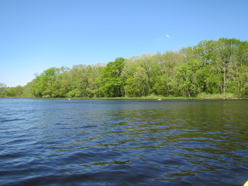 Swans on Aspinook Pond.
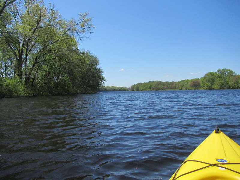
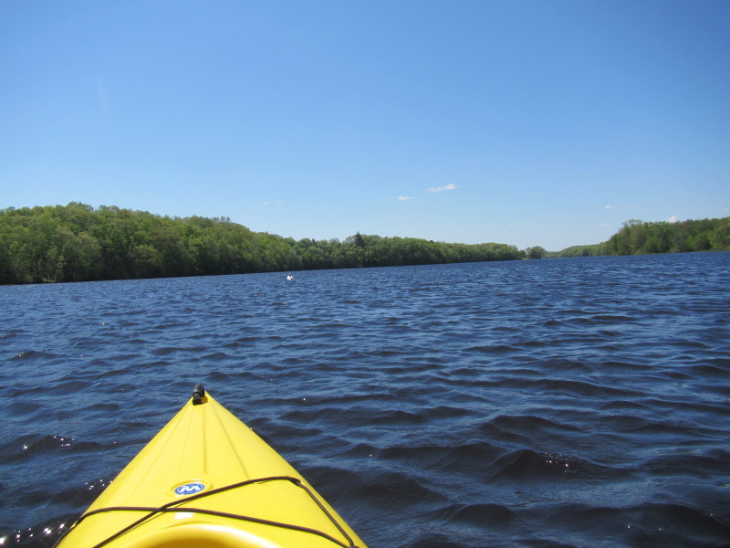
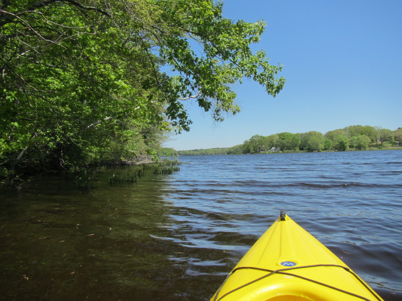
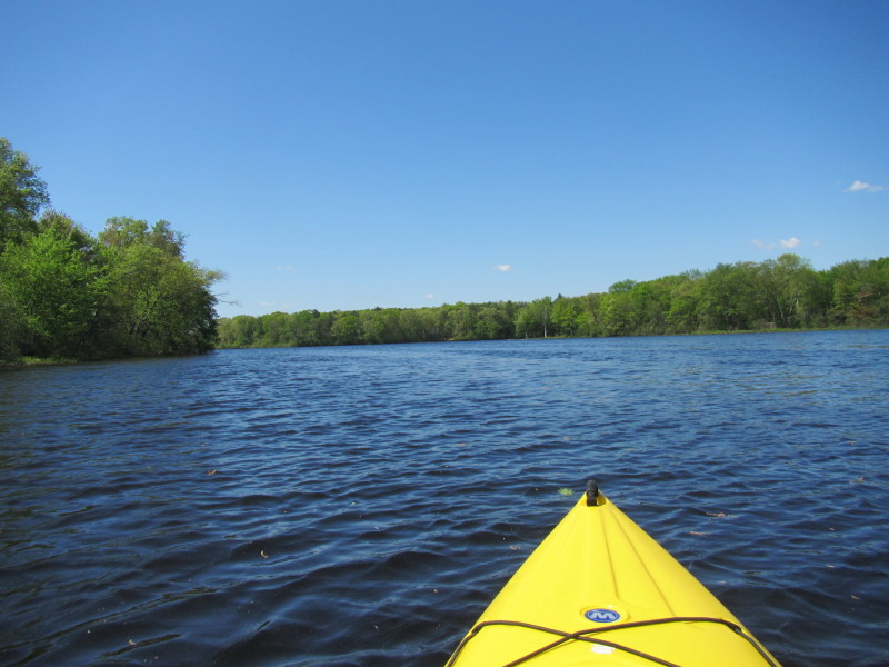 River now bending to the left.
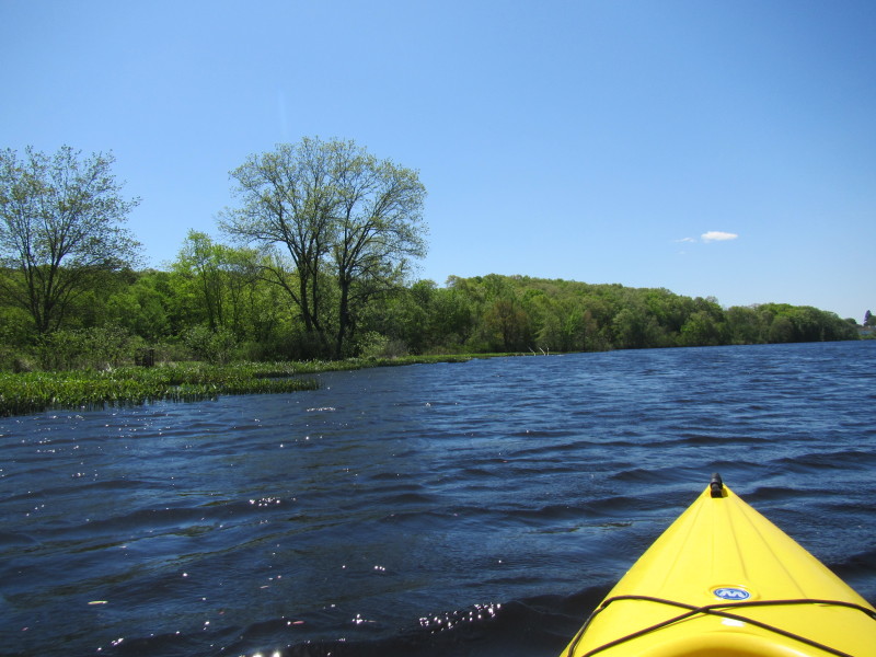
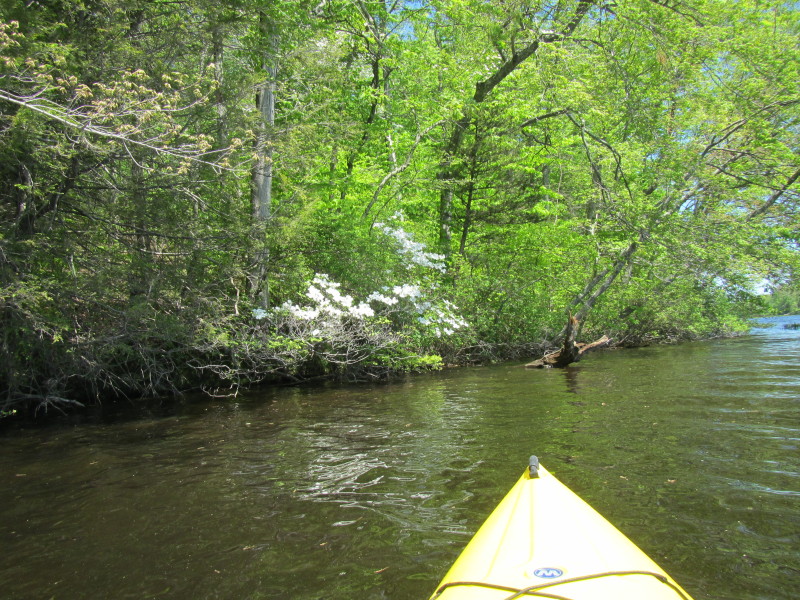
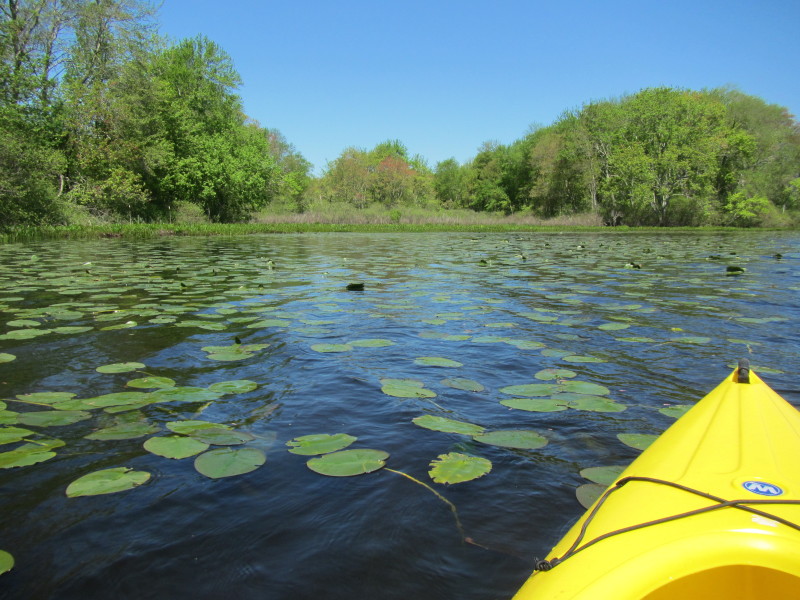
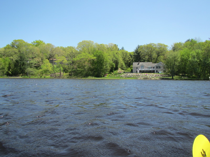
 A "side pond" on my left.
 A swan on Aspinook Pond.
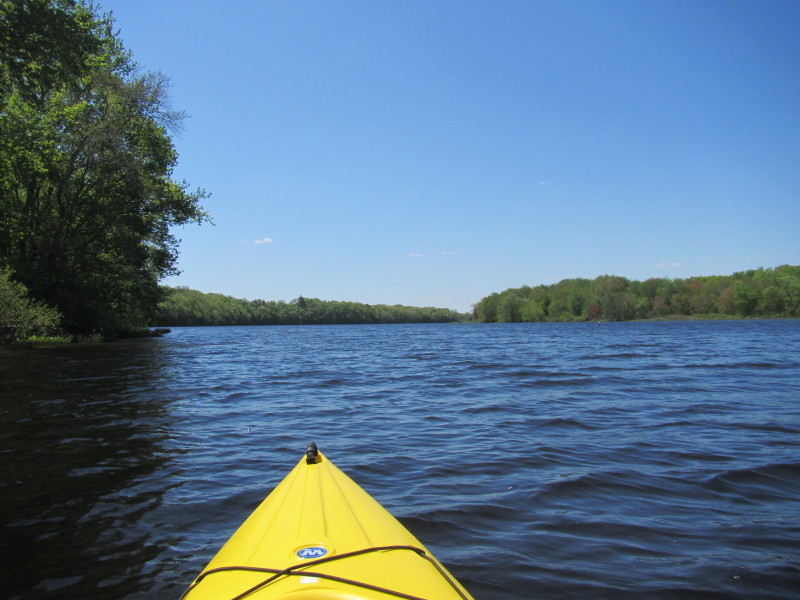
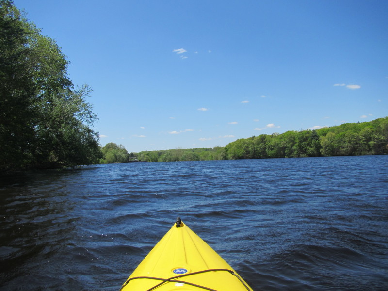
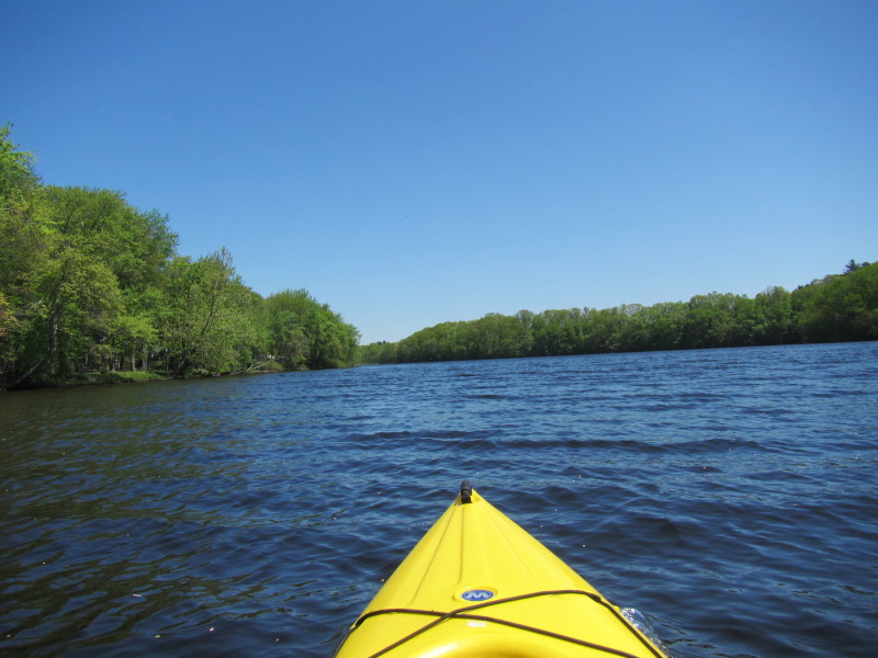
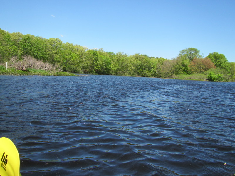
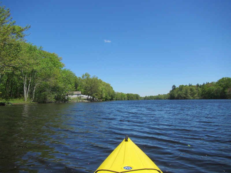
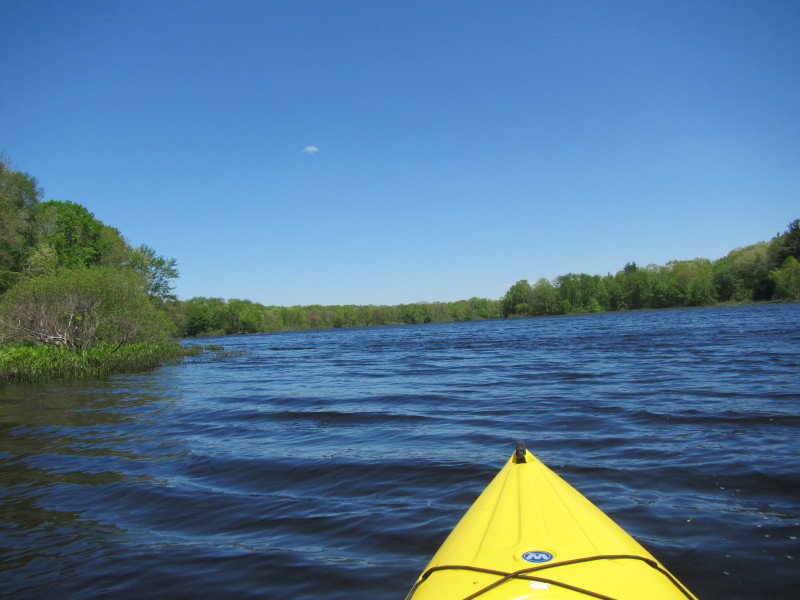
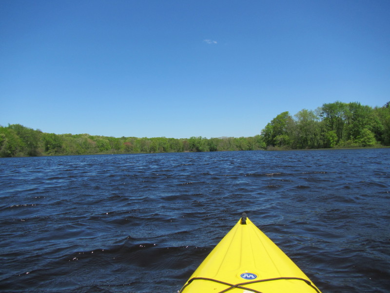
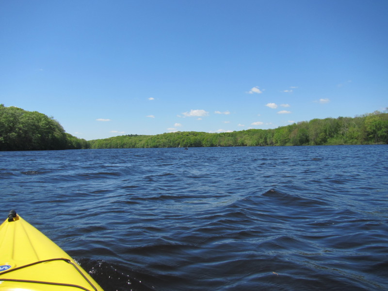 Continuing my southern direction.
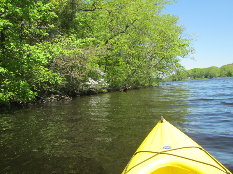
 It is middle of May and some spring flowers still around.
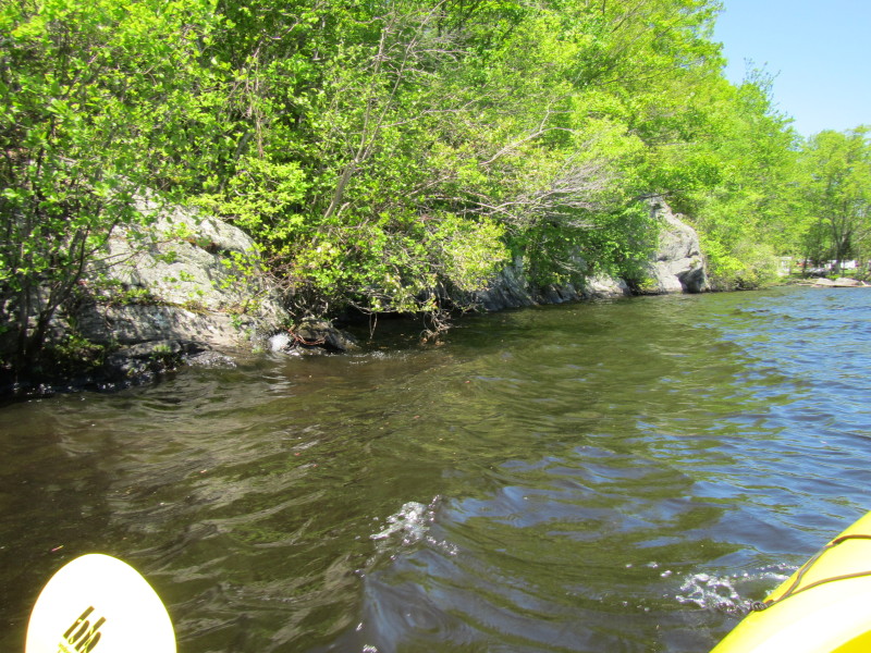
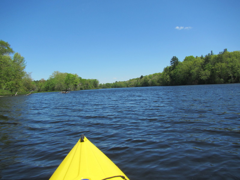
 I can see the Aspinook Dam abutment.
 The Aspinook Pond Dam abutments. Not clear on this picture
but I can actually see the buoys marking the dam.
The Aspinook Pond Dam abutments. Not clear on this picture
but I can actually see the buoys marking the dam.
 Just turned around and now paddling north back to where I came from.
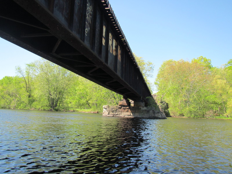
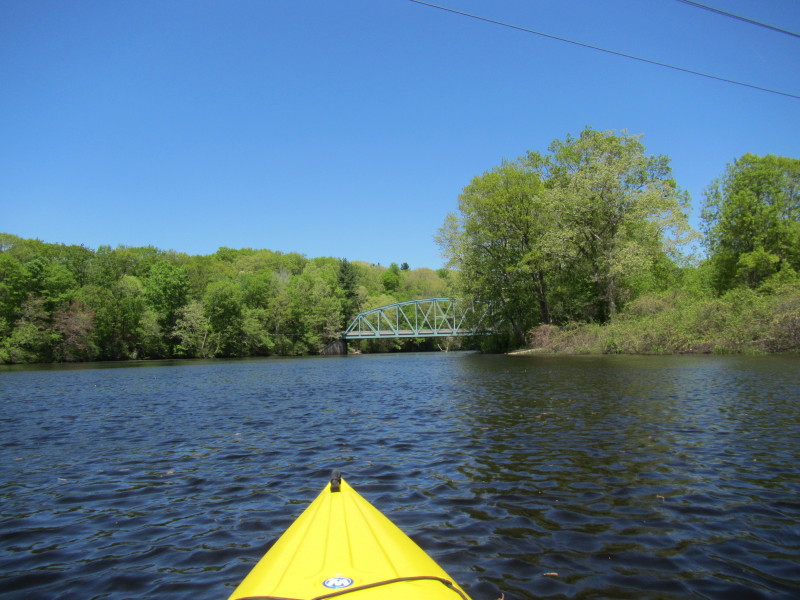
 The railbridge. Butts Bridge should be directly behind that.
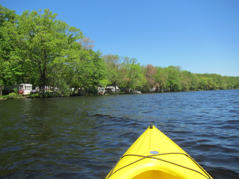
 Take out is that sandy spot on the right.
This paddle trip on Quinebaug River lasted 1 hour and 52 minutes from my photo timestamps. |