 Kayaker

|


|
Download printer-friendly
PDF version that fits in one page: |

|
|
Other resources:
Explore RI's Blueways and Greenways: Bold Point Park Explore RI's Blueways and Greenways: Roger Williams Trail Map (pdf) Explore RI's Blueways and Greenways: Roger Williams Trail Map (cached copy) Explore RI's Blueways and Greenways: Woonasquatucket River in Downtown Providence (pdf) Explore RI's Blueways and Greenways: Woonasquatucket River in Downtown Providence (cached copy) Rhode Island Harbors: Providence Harbor Tide Chart Community Boating Center of Providence RI All photos in this website are original and copyrighted. 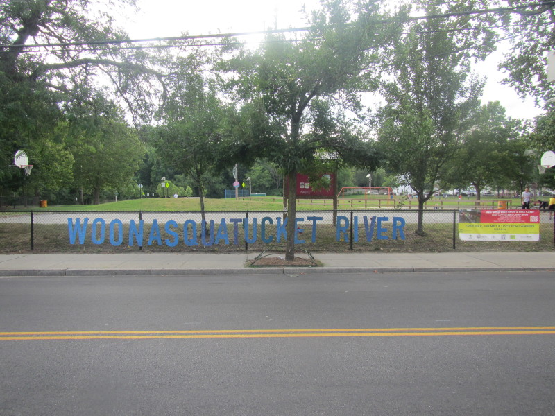 At Donigian Park on Valley Street in Providence RI.
Trip date is August 2015. There is no mistaking the spelling of this river's name. W O O N A S Q U A T U C K E T R I V E R 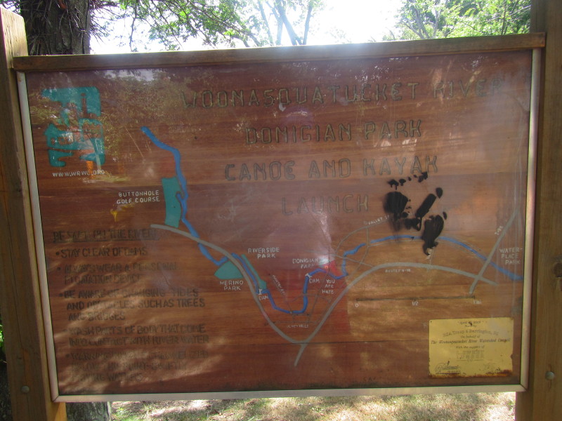 The marker sign at the access to Woonasquatucket River.
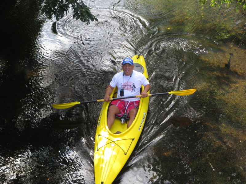
 The Boston Kayaker and son.
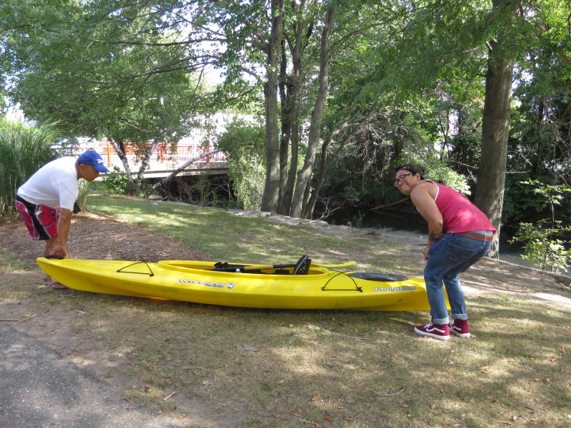
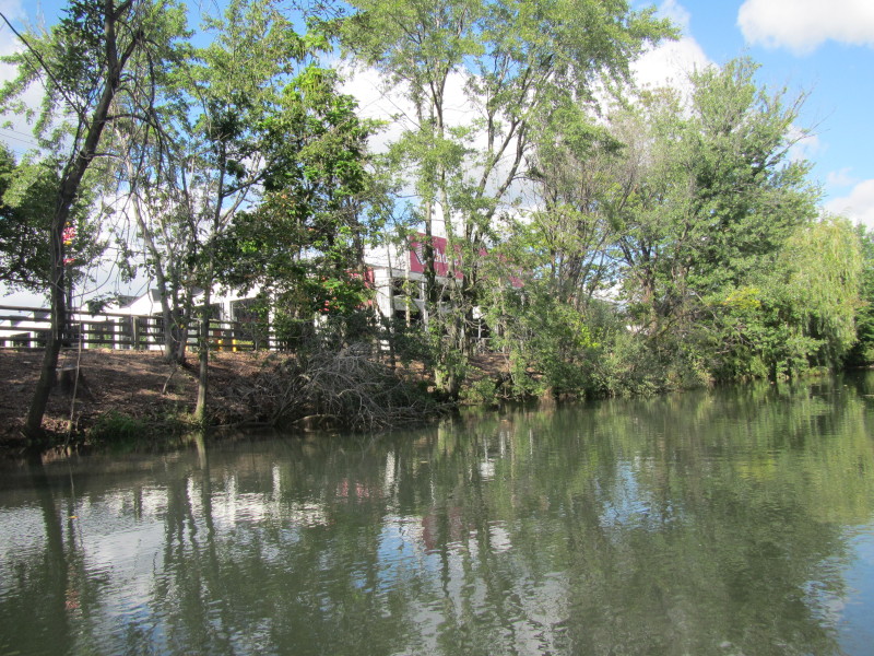
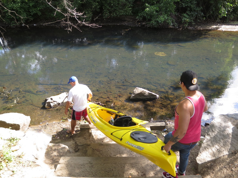 The put in to Woonasquatucket River at Valley Street in Providence RI.
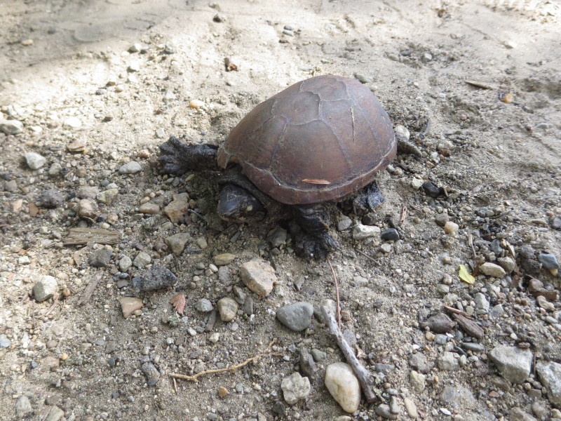 A turtle right on the steps.
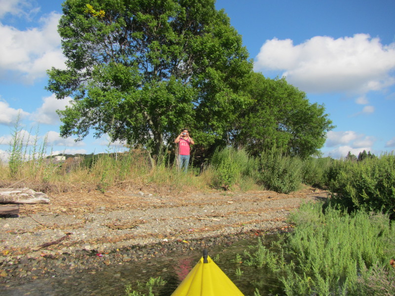
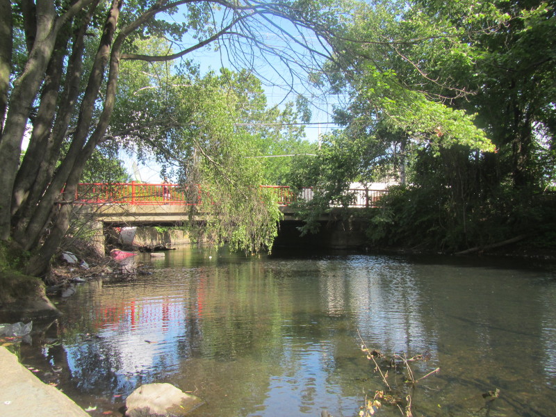 The Boston Kayaker's daughter positioned at the Valley Street bridge to take photos.
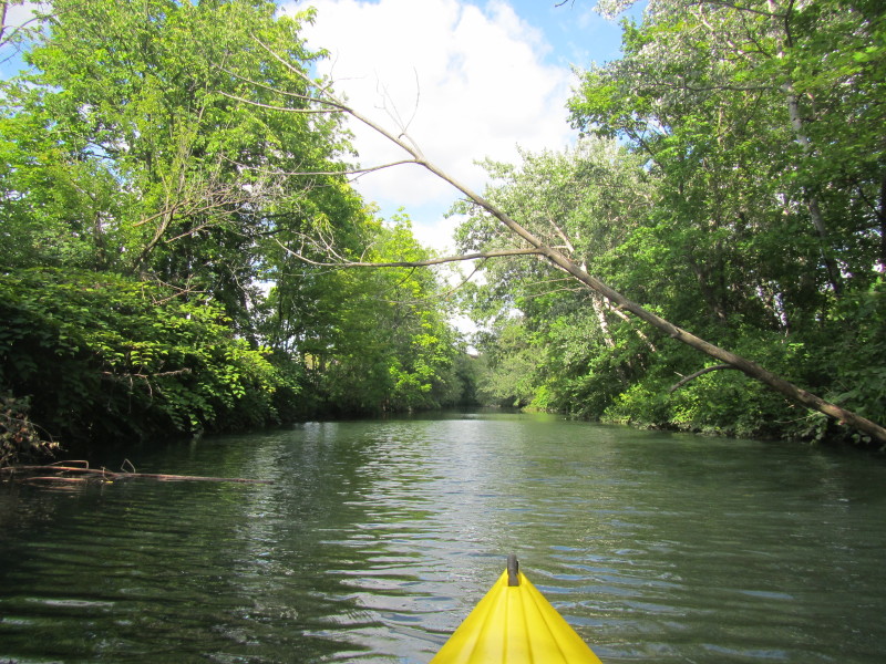
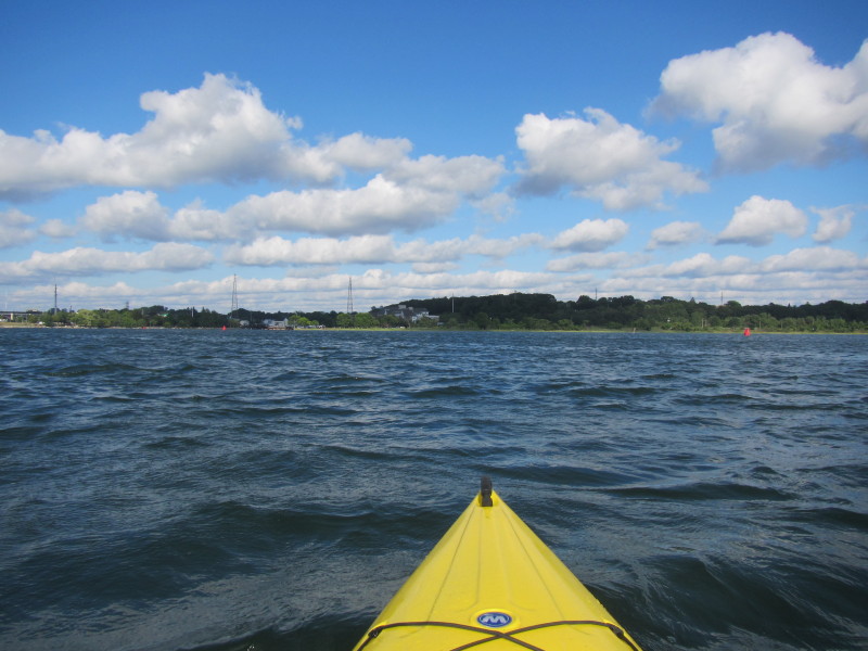
 The Boston Kayaker just launched on Woonasquatucket River from Donigian Park launch.
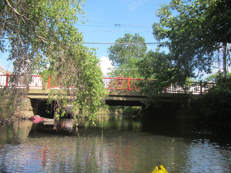
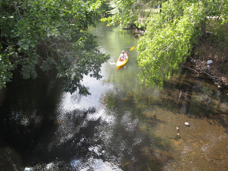
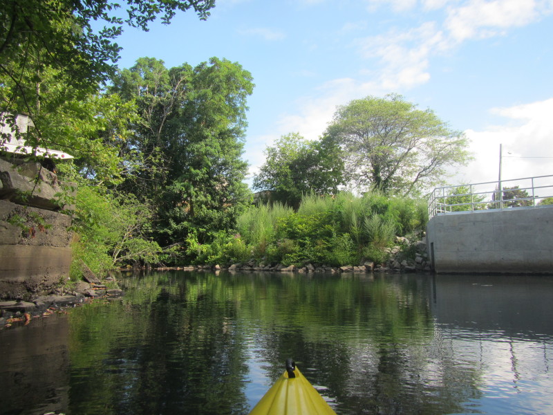
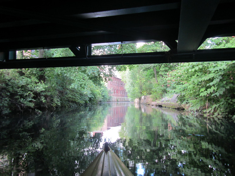
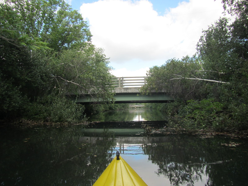
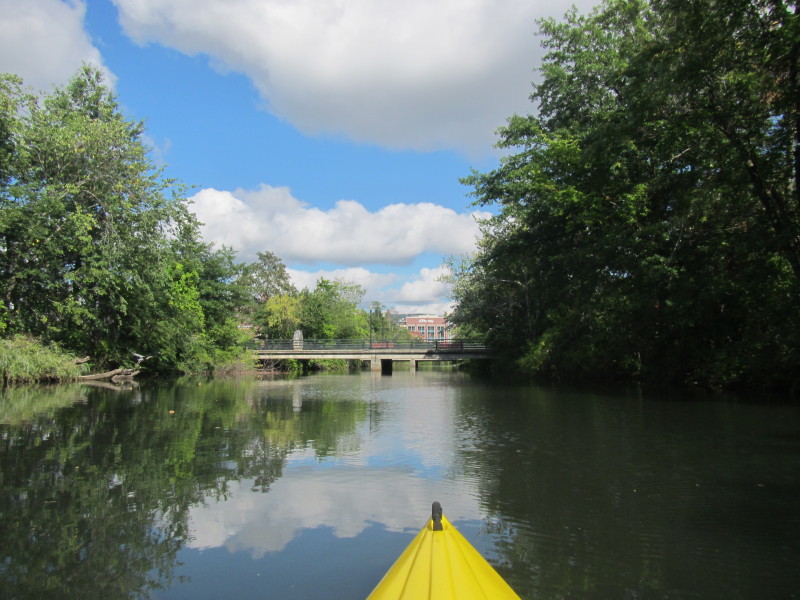
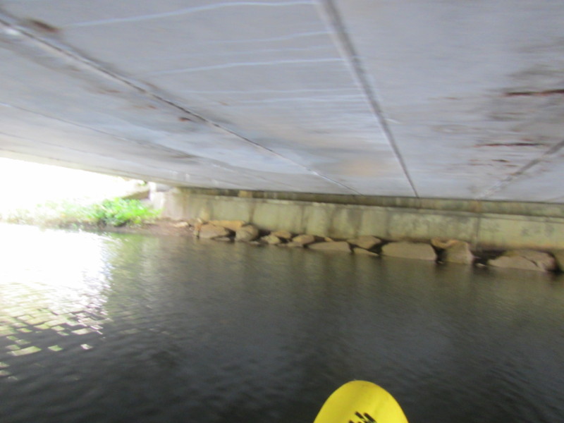
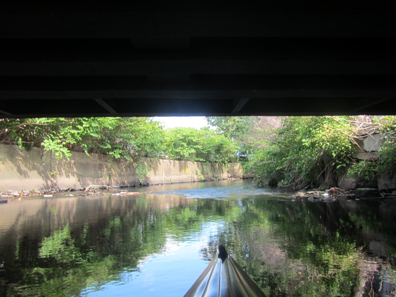 Passing under the Valley Street bridge on Woonasquatucket River.

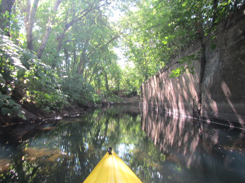
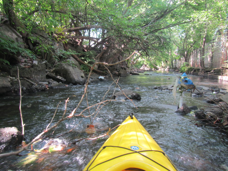 Another unrunnable spot. :(

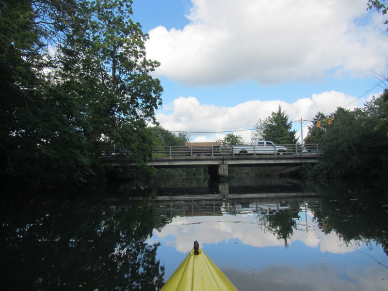
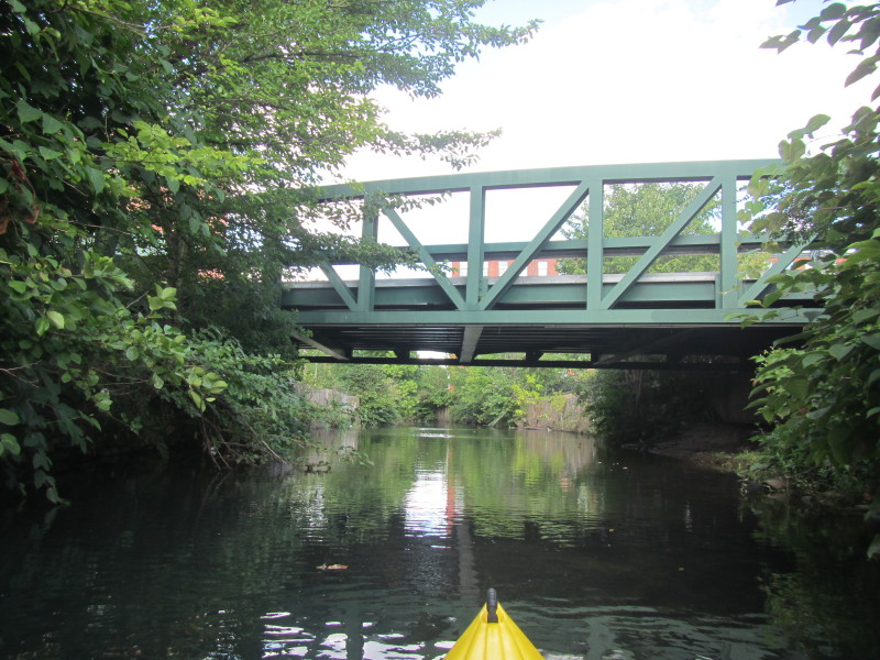 Atwells Avenue bridge over the Woonasquatucket River.
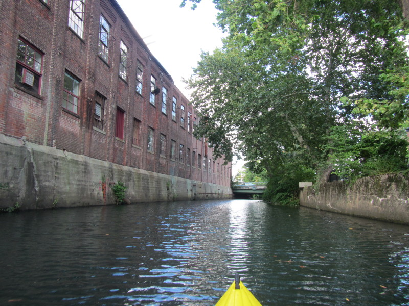
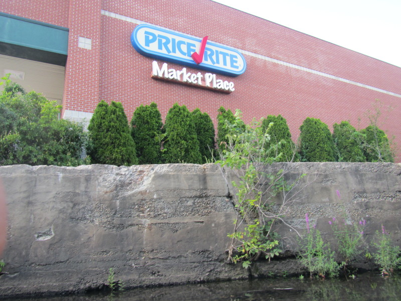 Price Rite Market Place.
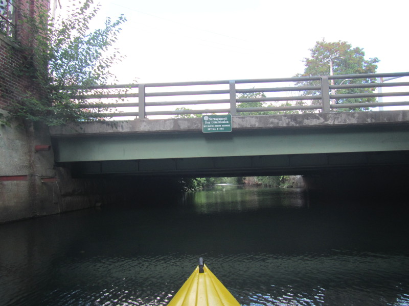
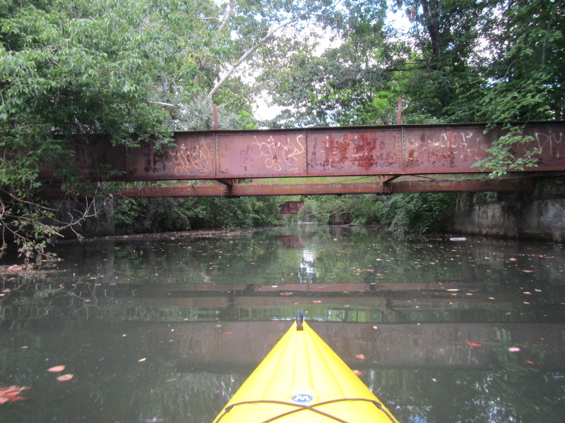
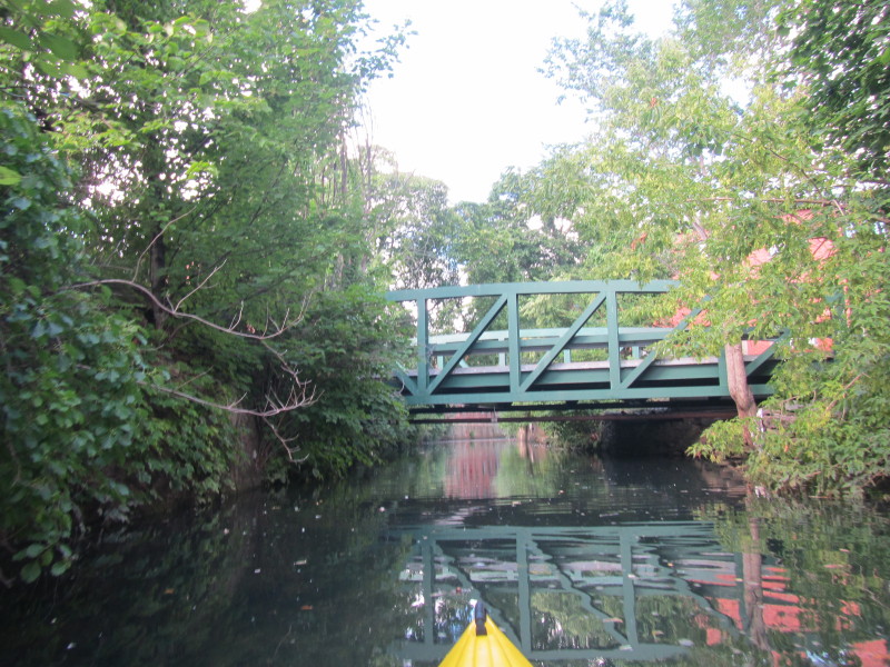 Ericson Place bridge.
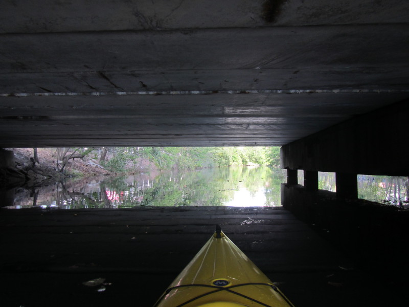
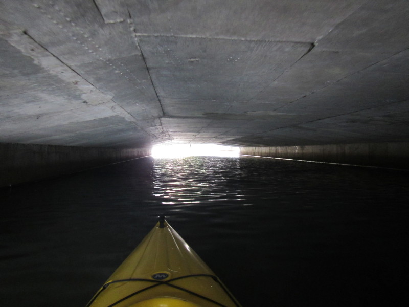
 Under Ericson Place bridge.
 Eagle Street bridge.
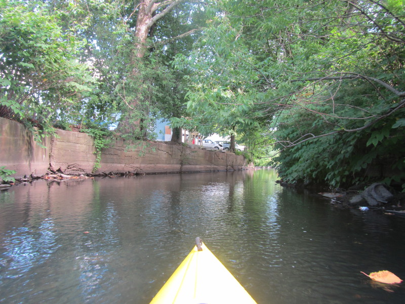
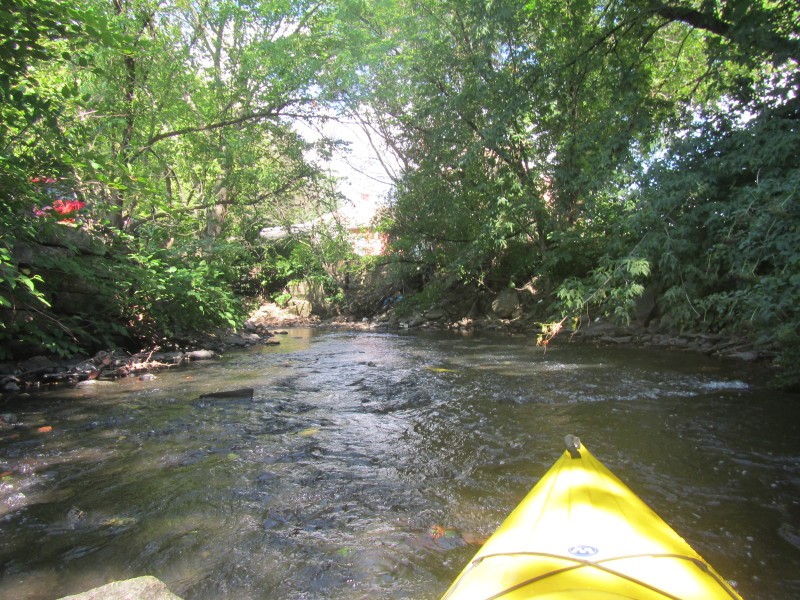
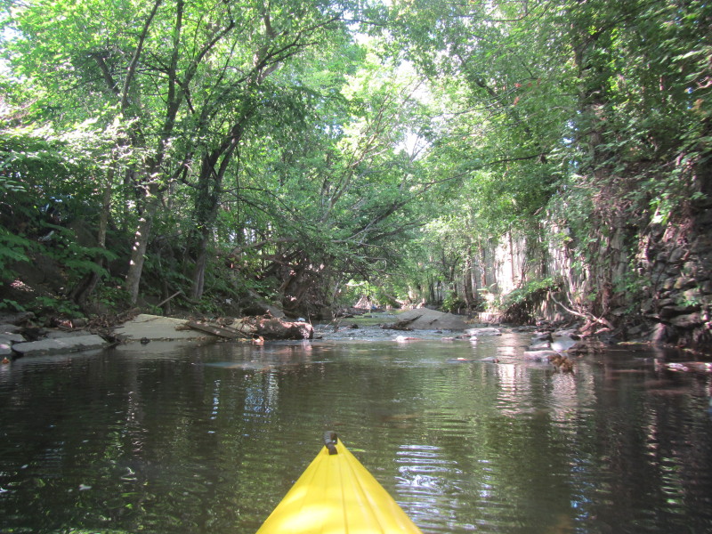
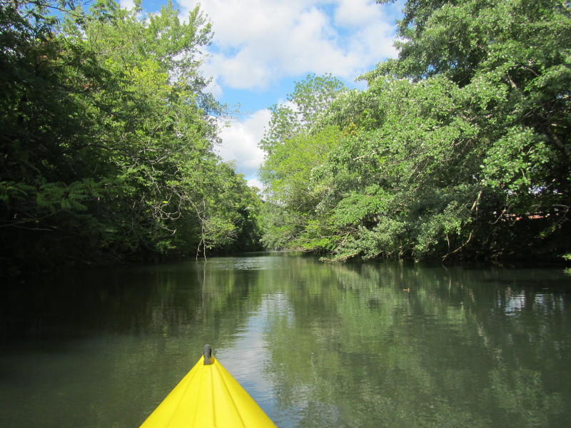
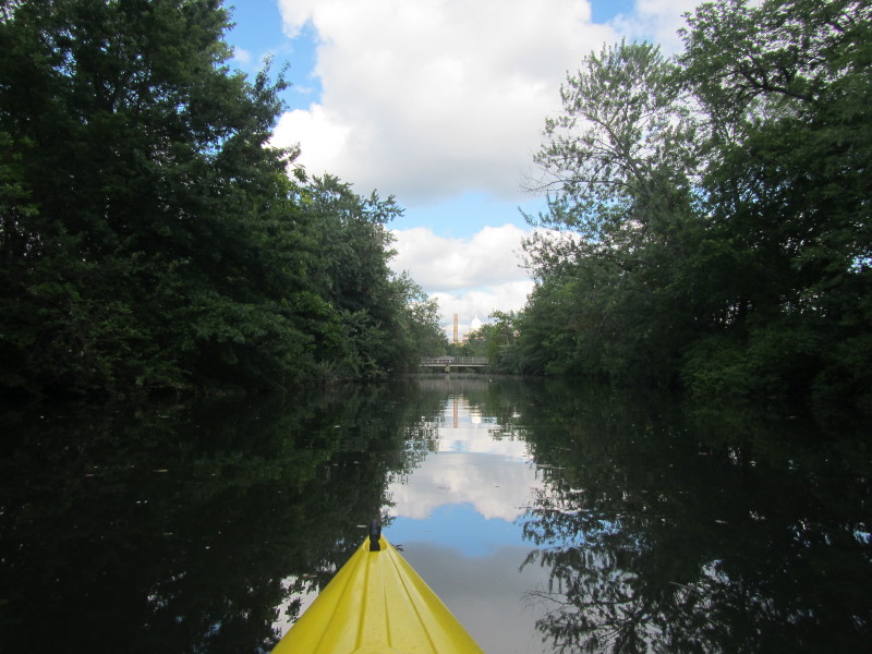
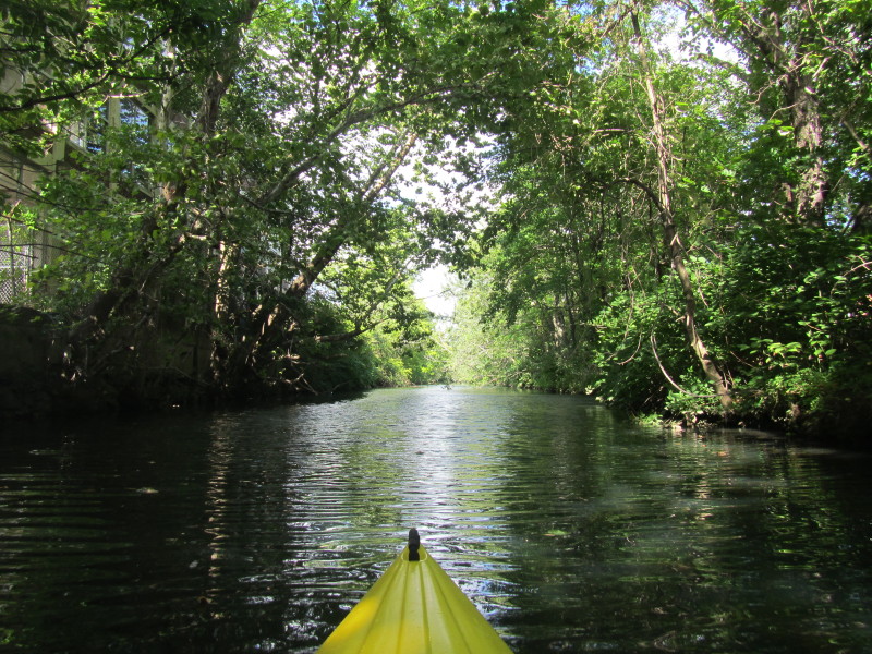 Now I can see trees lining the banks . . .
 Acorn Street bridge.
 Dean Street bridge.
 This is an unmapped bridge and caused me a lot of trouble
associating my series of pictures to bridges on the maps.
This is an unmapped bridge and caused me a lot of trouble
associating my series of pictures to bridges on the maps.
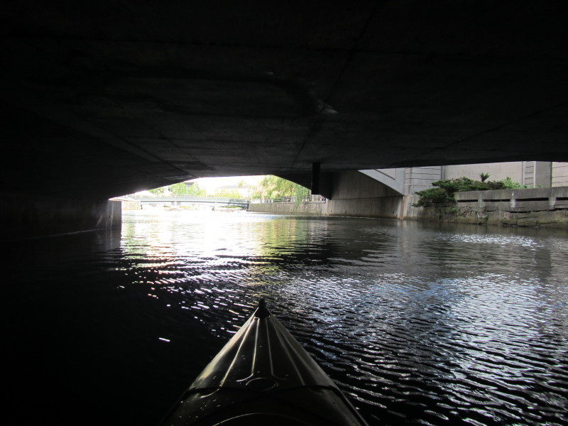
This bridge only appears in sattelite photos but not on maps. 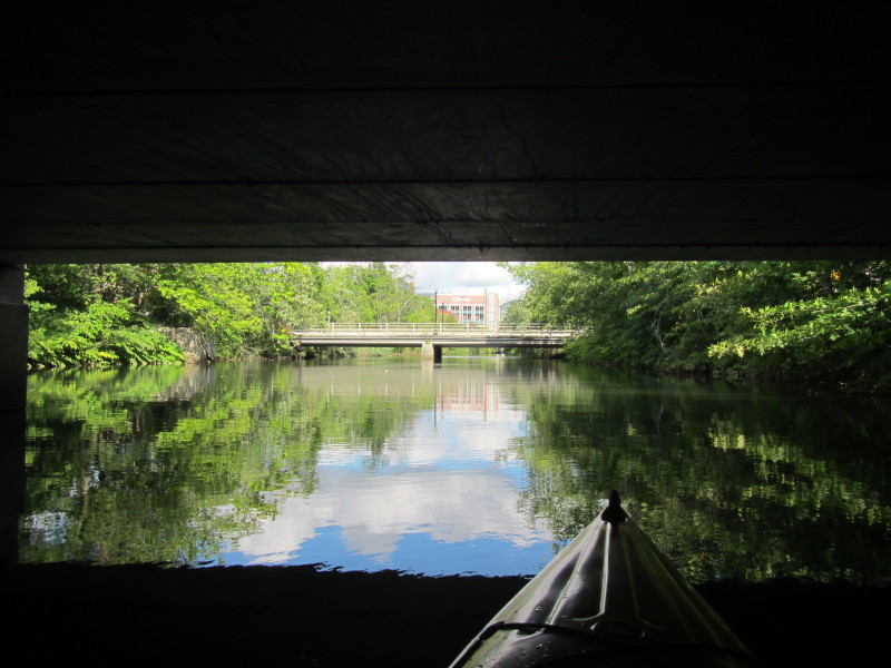 Under the unmapped bridge.
In front is the Kingsley Avenue bridge. 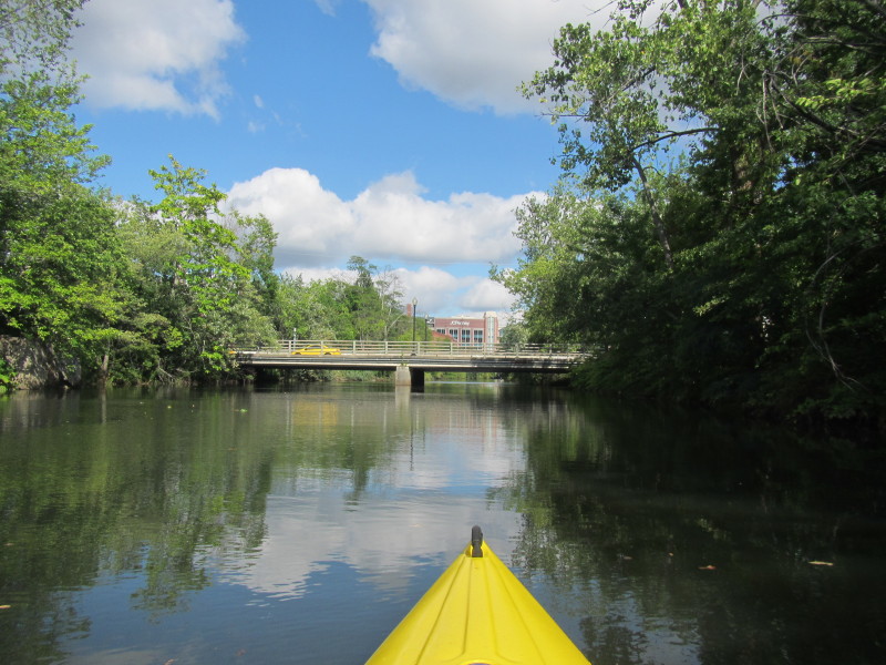
 Under Kingsley Avenue bridge.
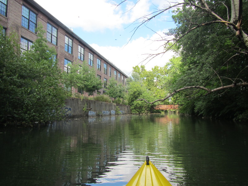
 I can see the Providence Place mall.
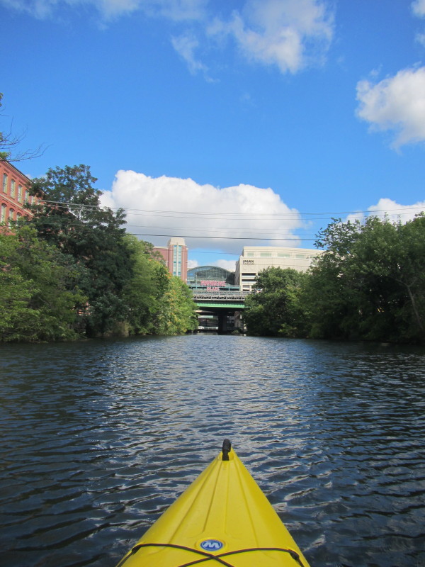
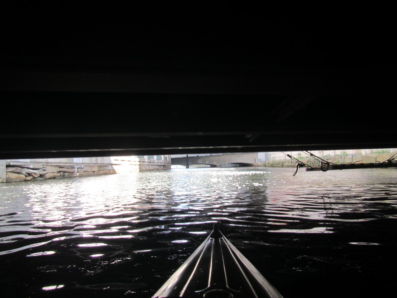
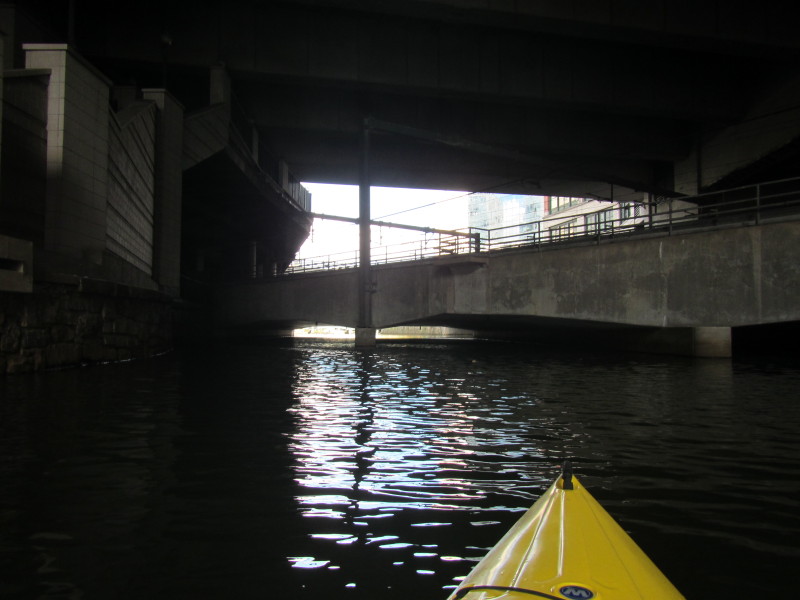
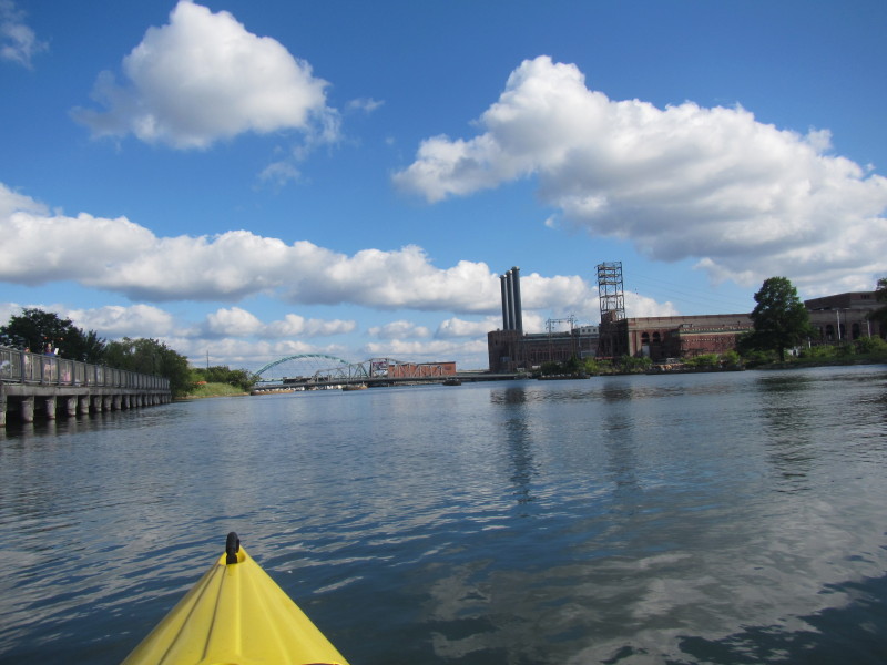
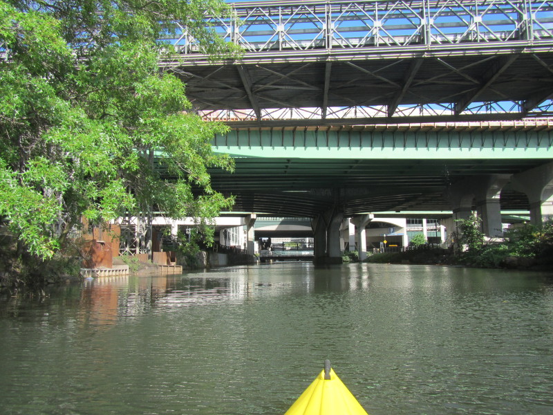 The I-95 bridges.
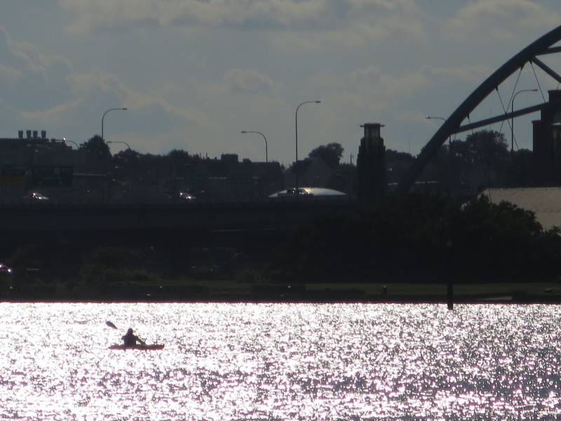
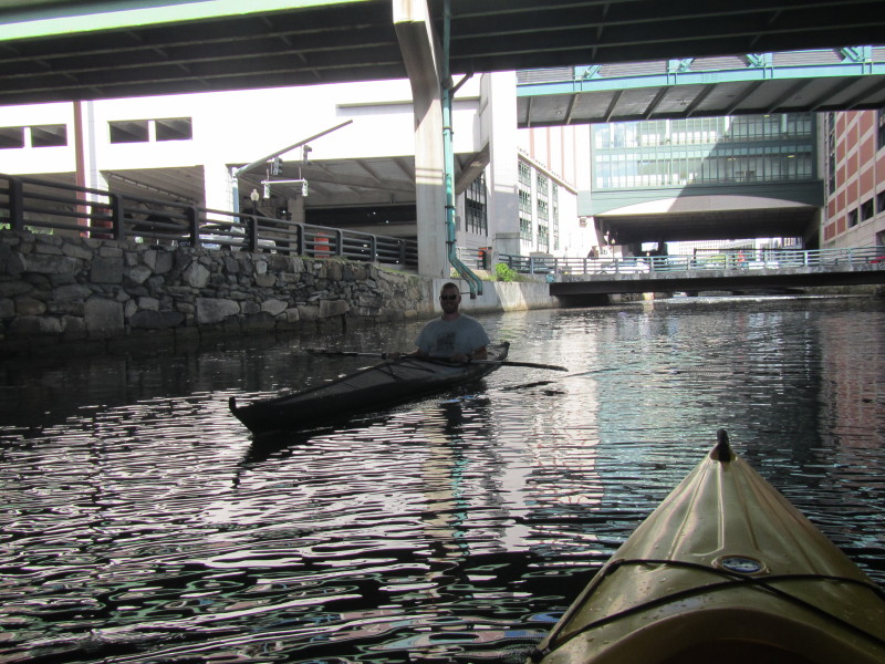 Another kayaker.
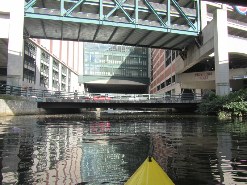
 Passing under the "PROVIDENCE PLACE" sign.

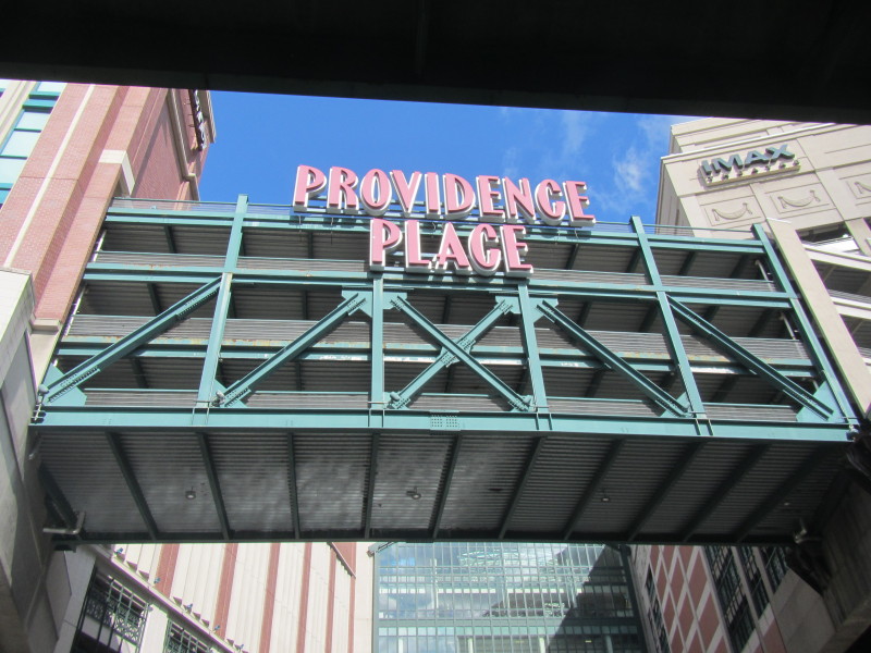
 Providence Place on my left.
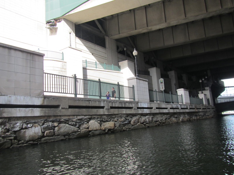
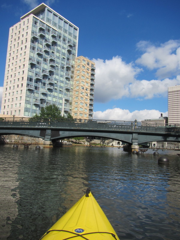
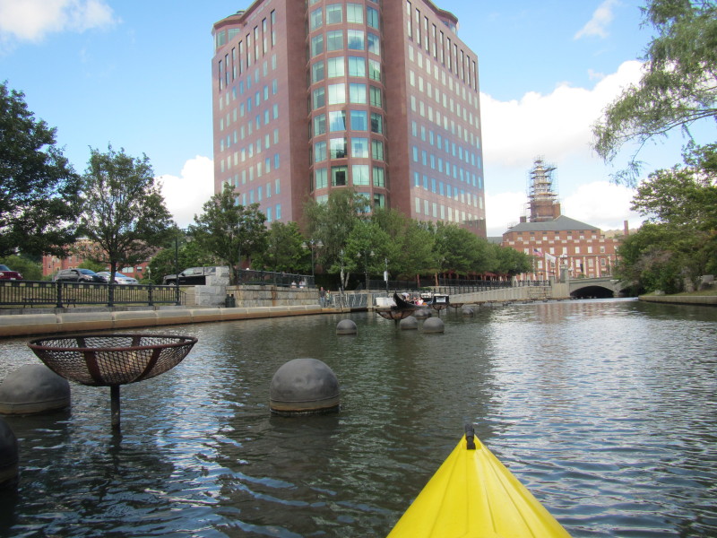
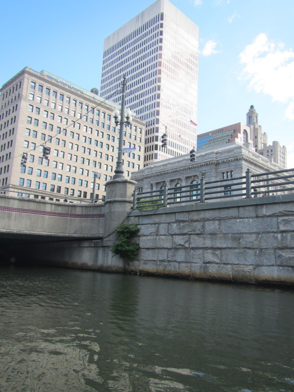
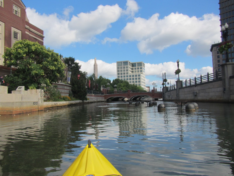
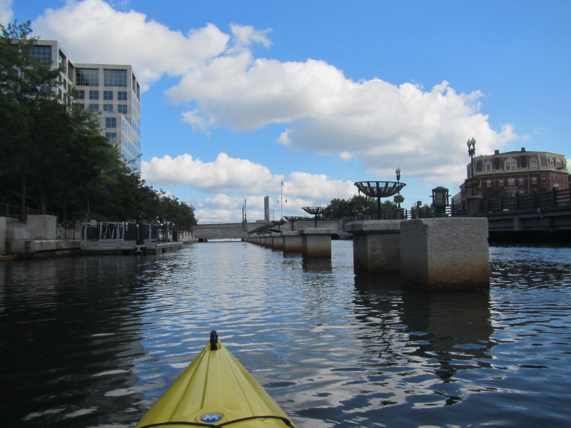
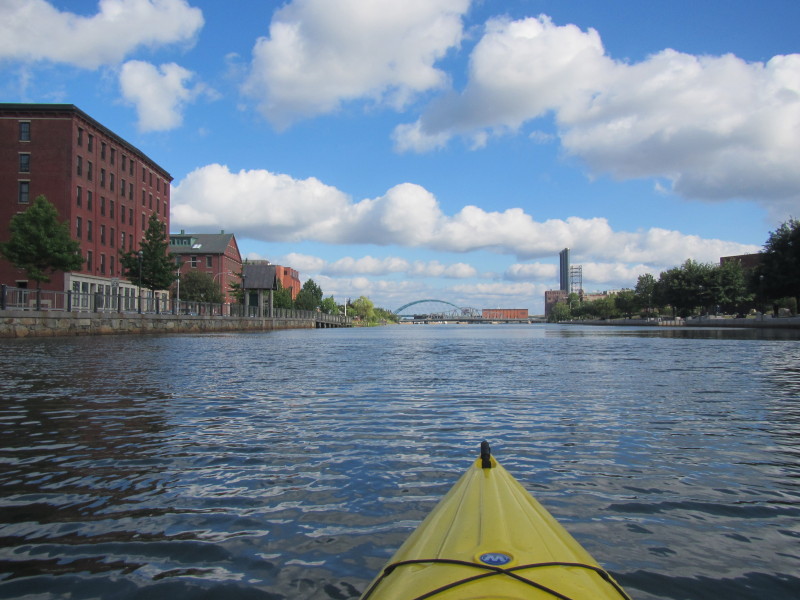
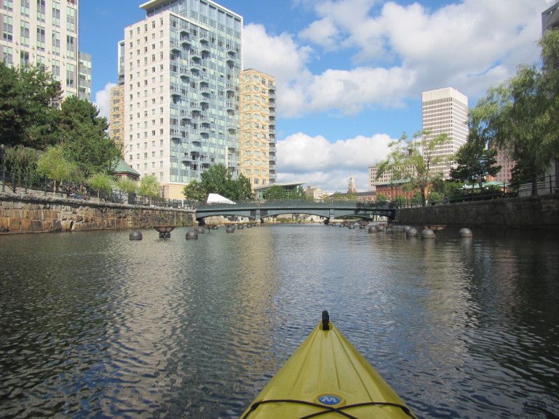 The buildings of downtown Providence RI.
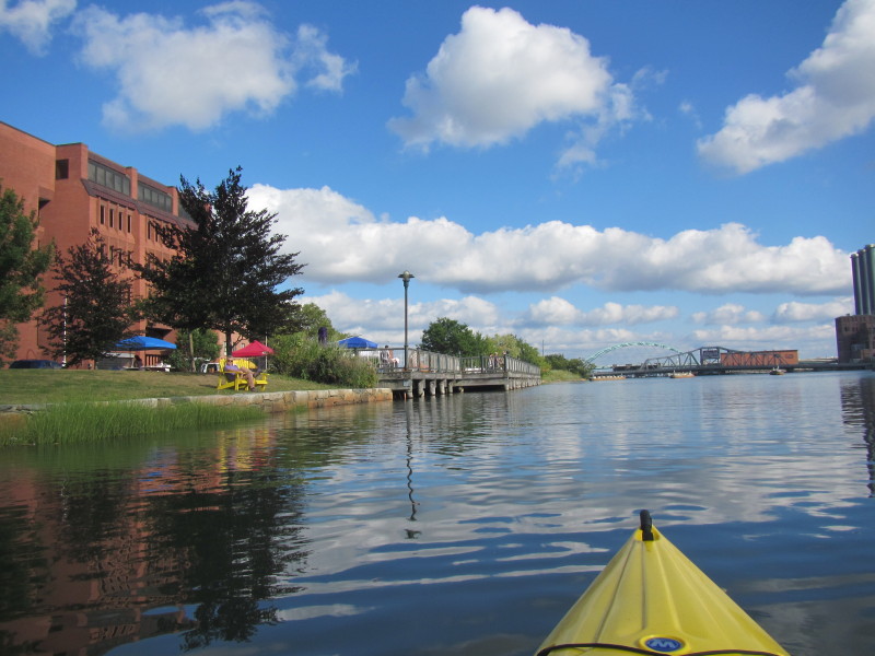
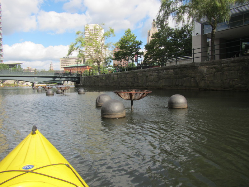 Fireplaces are set up for the Providence WaterFire festivals.
Route 1 bridge. 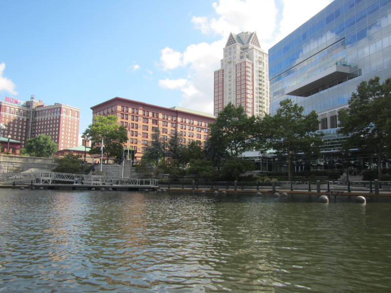
 A pedestrian bridge.
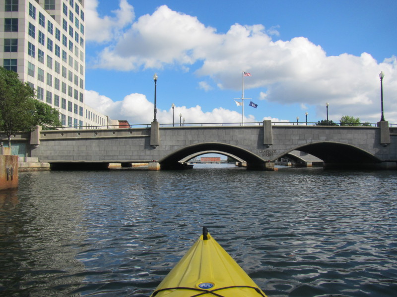
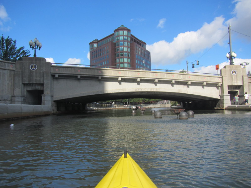 Exchange Street bridge.
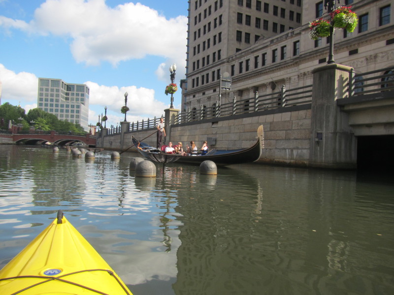
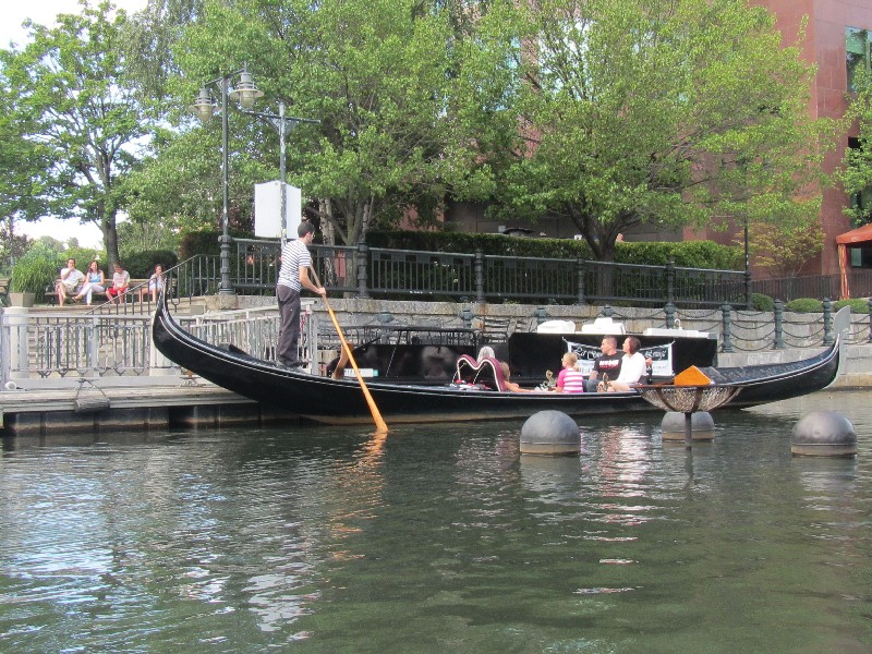 Tourists on a gondola on the Woonasquatucket River in Providence RI.
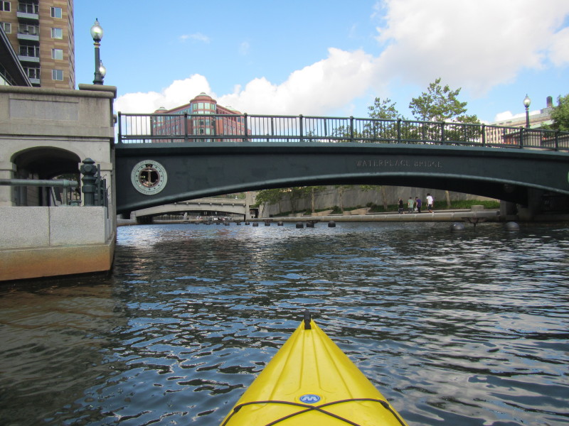
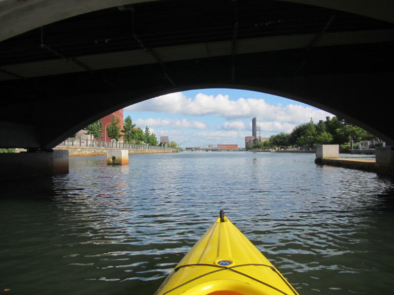
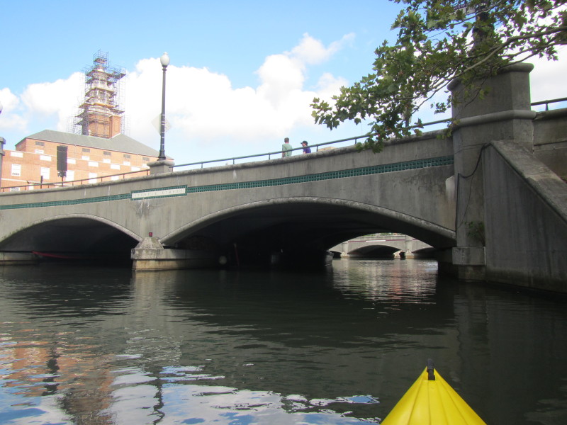 Steeple Street bridge.
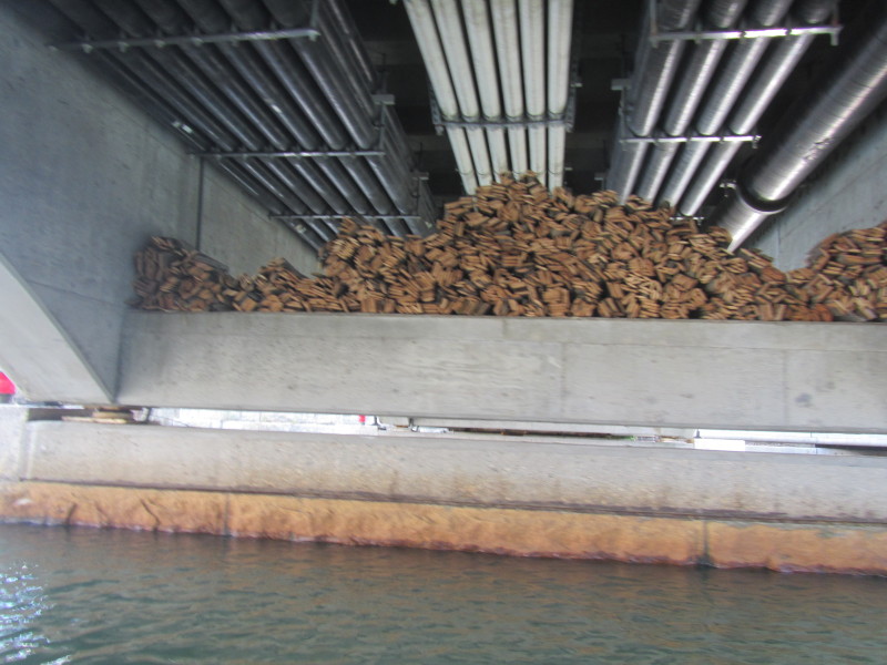
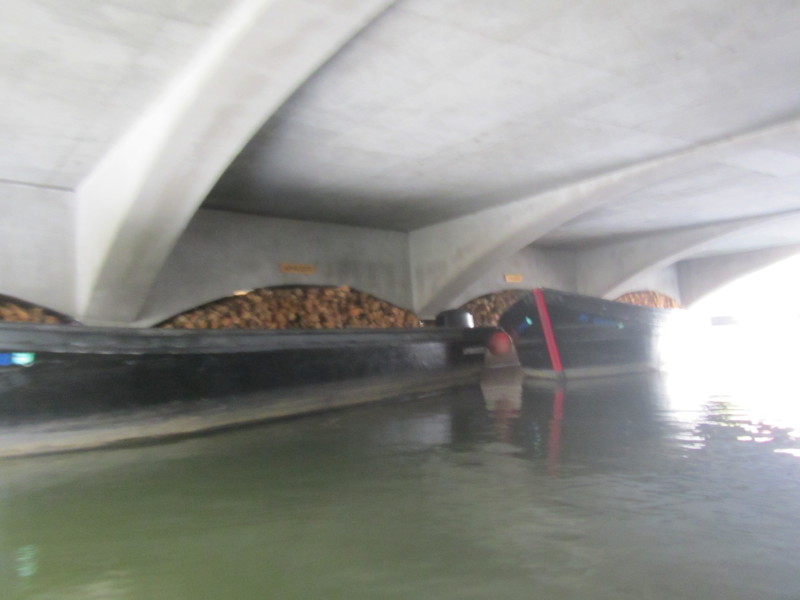 The under bridges are stocked with firewood for the WaterFire festivals.
At this point, the Moshassuck River merges from the right with Woonasquatucket to form the Providence River. 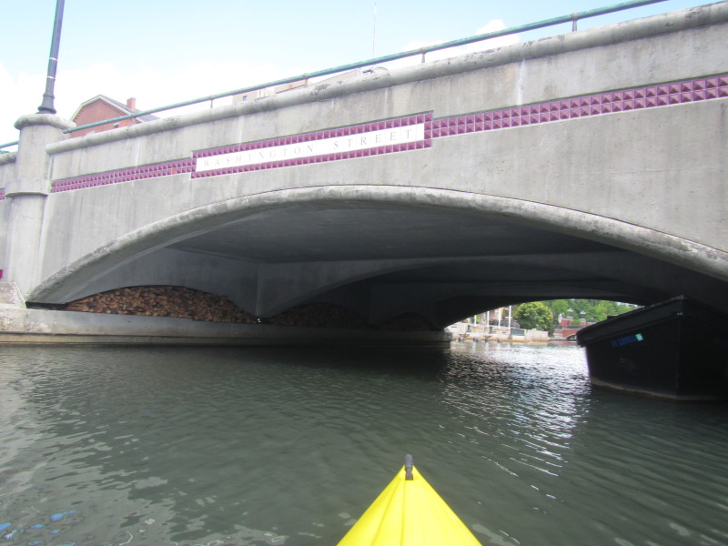 At the start of Providence River just north of Washington Street bridge.
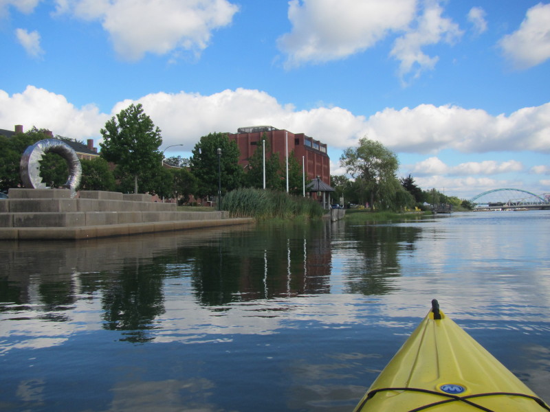
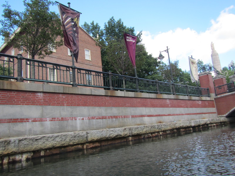 On my left is the Rhode Island Institute of Design (RISD).
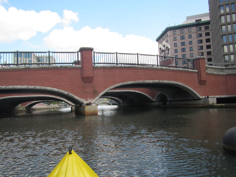 College Street bridge.
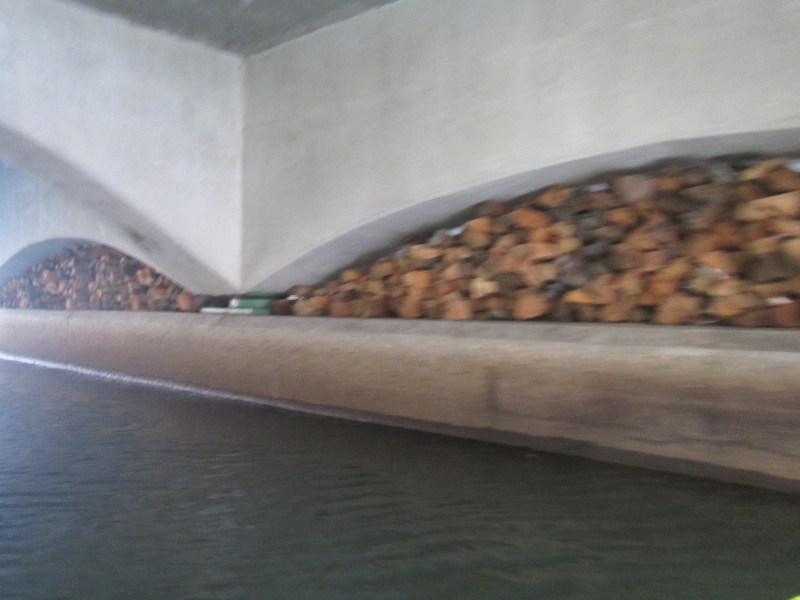 More firewood.
 More fireplaces on Providence River.
 South Water Street bridge.
 More stacks of firewood.
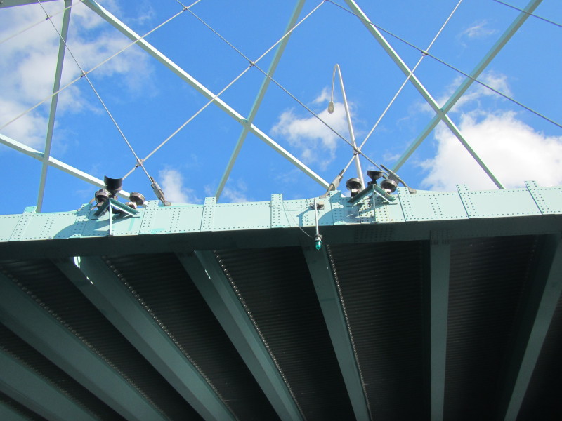
 That arch in the distance is the I-195 bridge over the Providence.
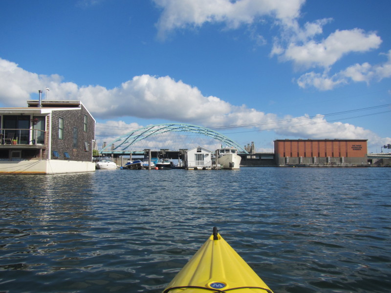
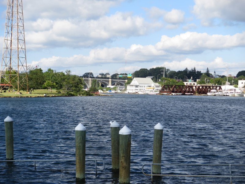
 On my left is the South Water Street Landing access to the Woonasquatucket and Providence Rivers.
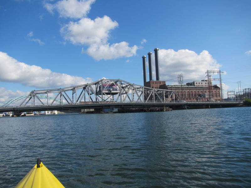 The Route 1 / Point Street bridge.
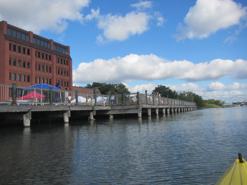
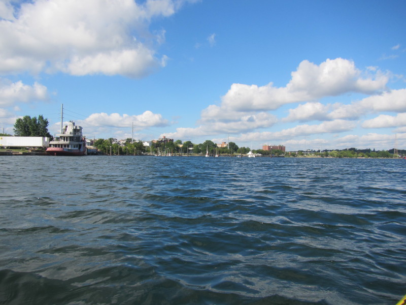
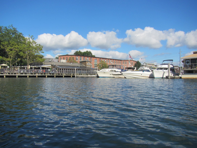 Providence's river side restaurants.
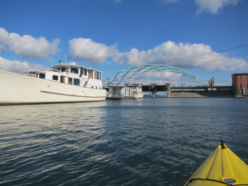
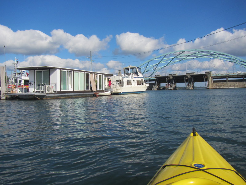
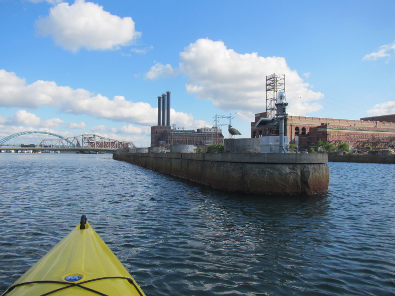
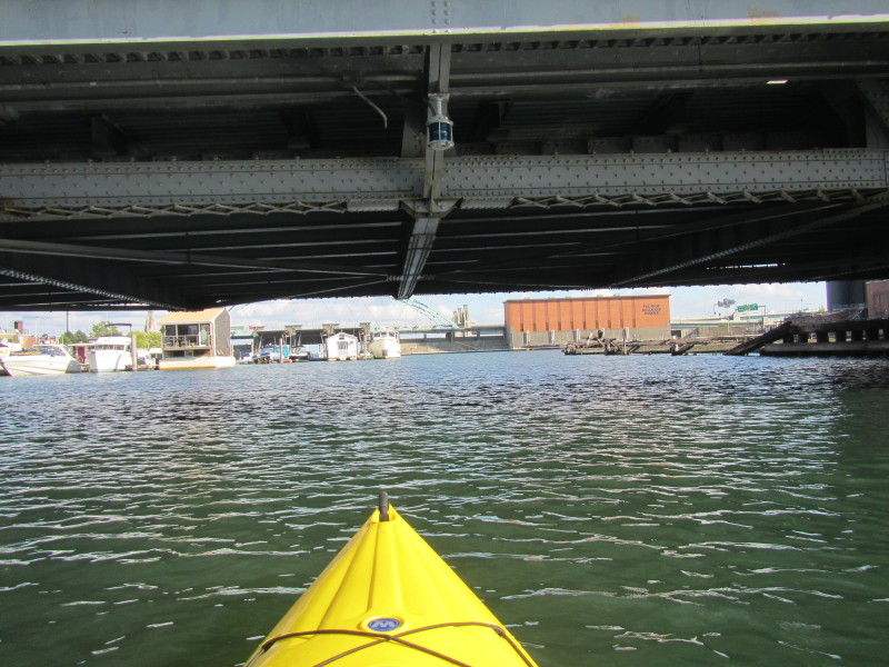
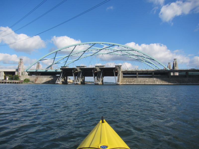 Approaching the I-195 bridge over the Providence River.
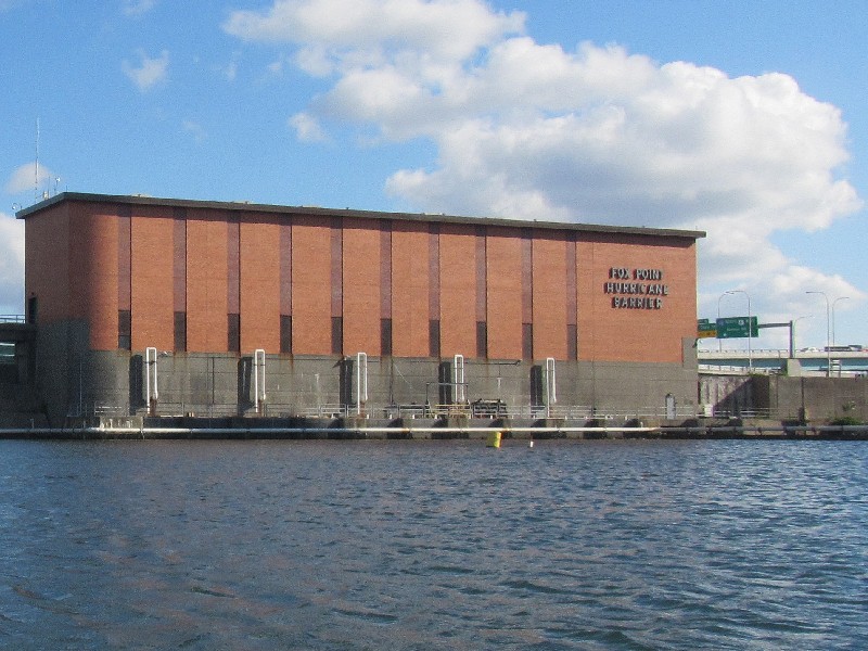
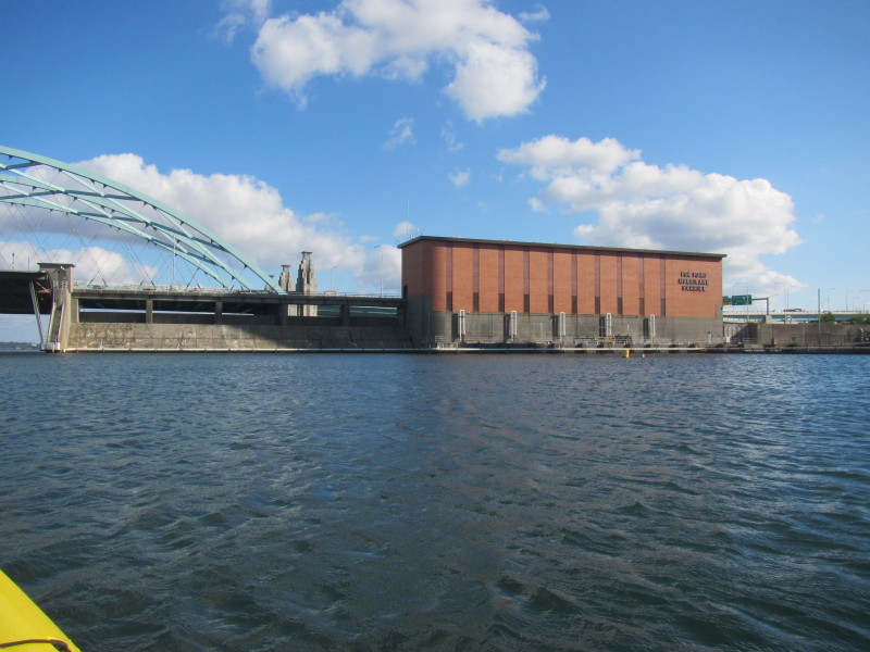
Those movable doors are barrier against hurricane surges.
Approaching the I-195 bridge over the Providence River.
Those movable doors are barrier against hurricane surges.
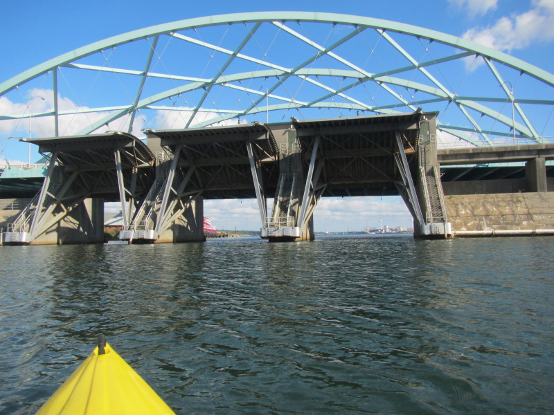
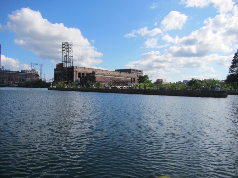
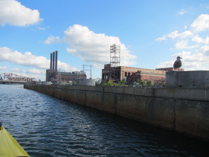
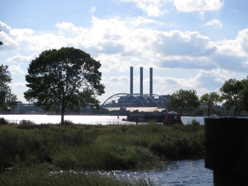
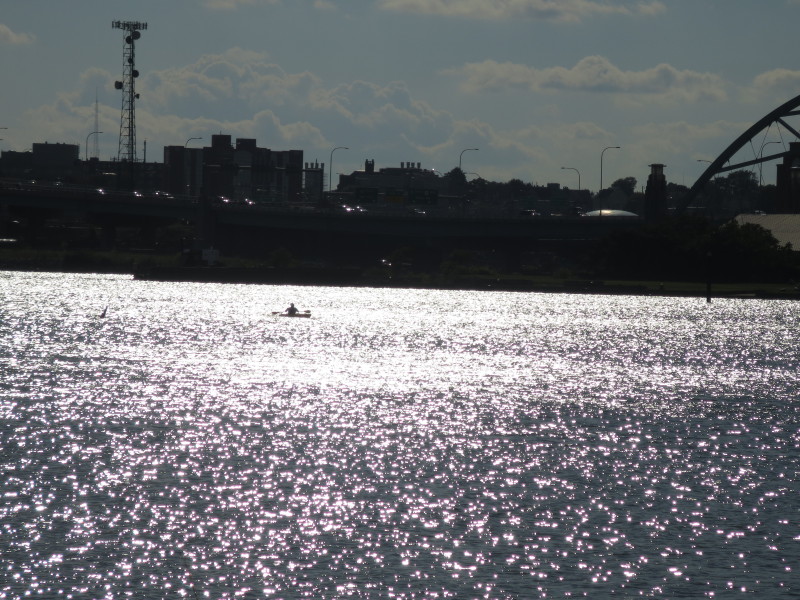
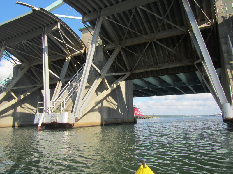 The Fox Point Hurricane Barrier on Providence River.
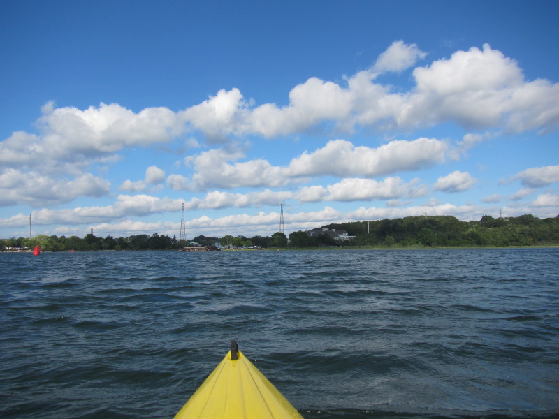
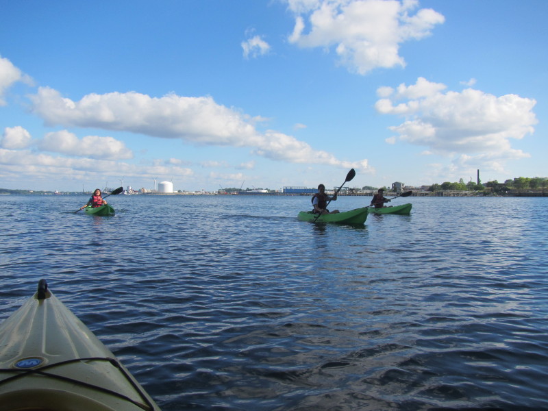 A group of kayakers on Providence River.
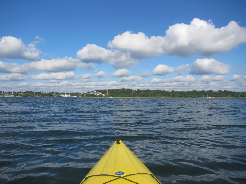
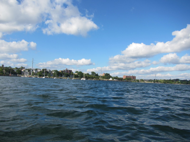
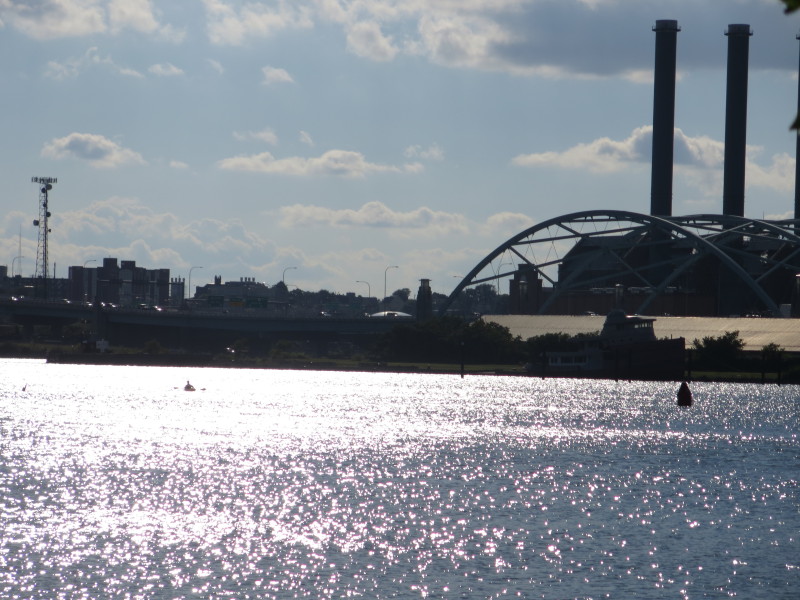
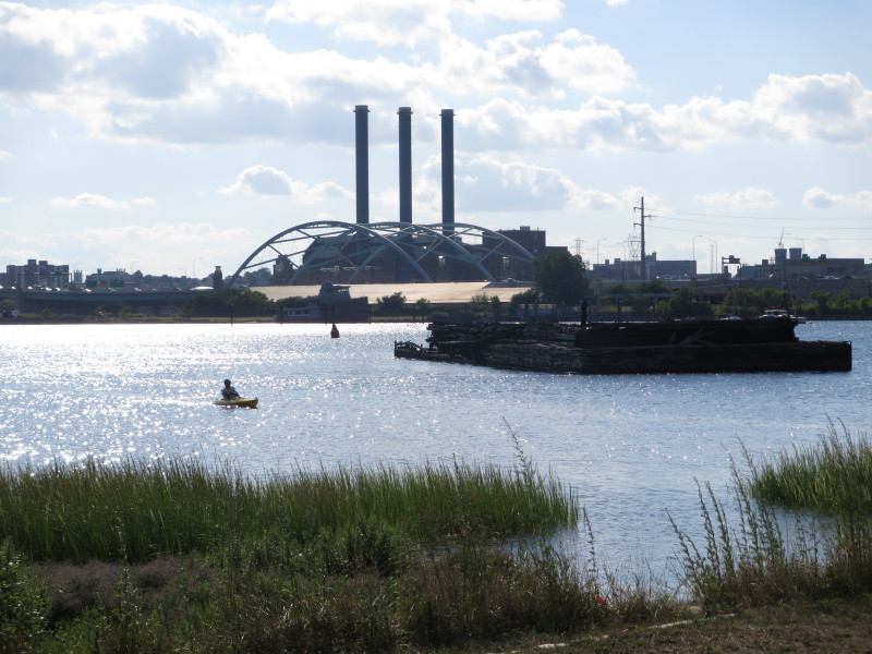
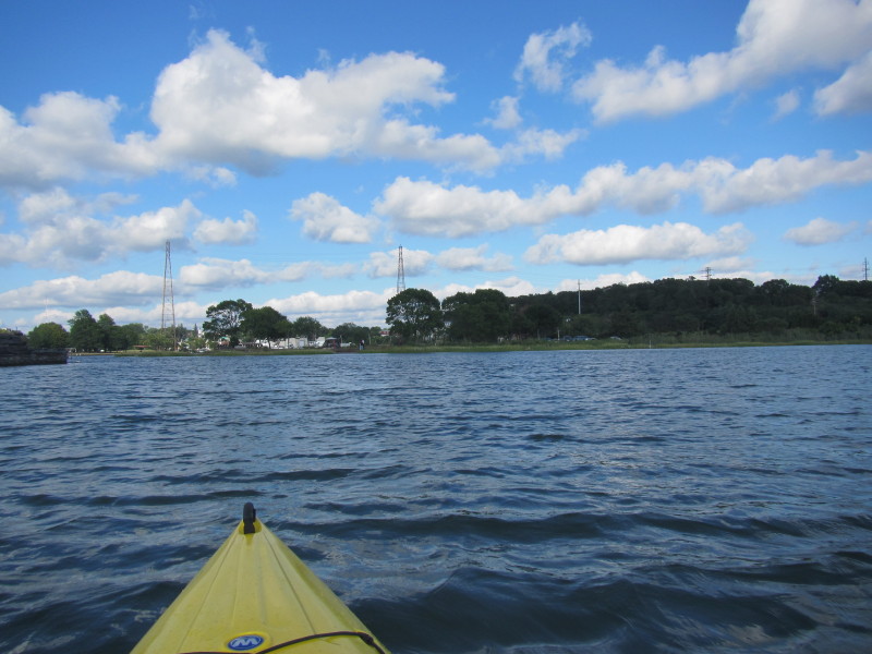
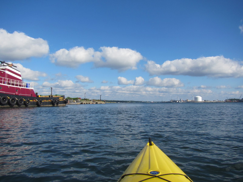 Now south of the I-195 bridge, the Providence Harbor.
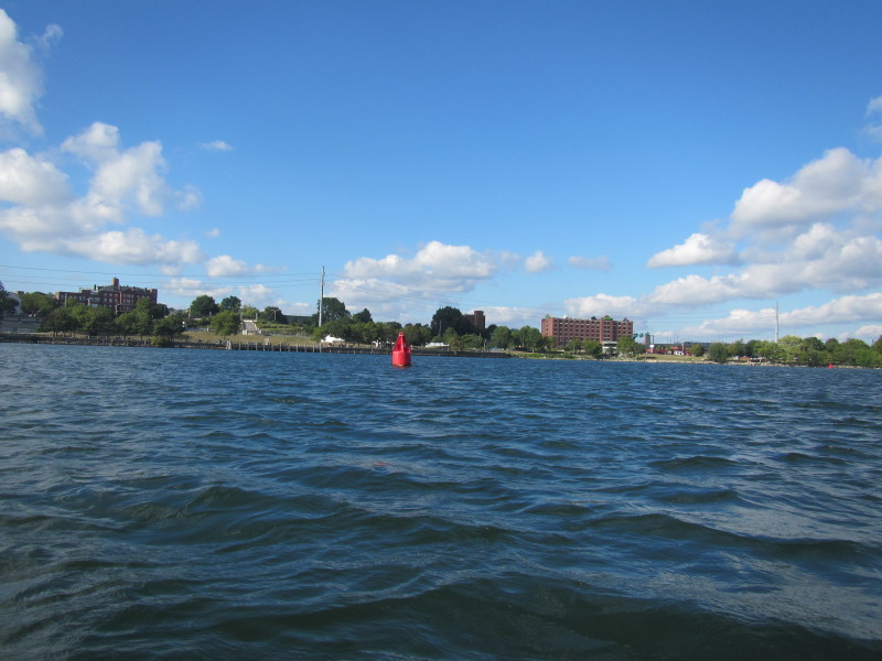
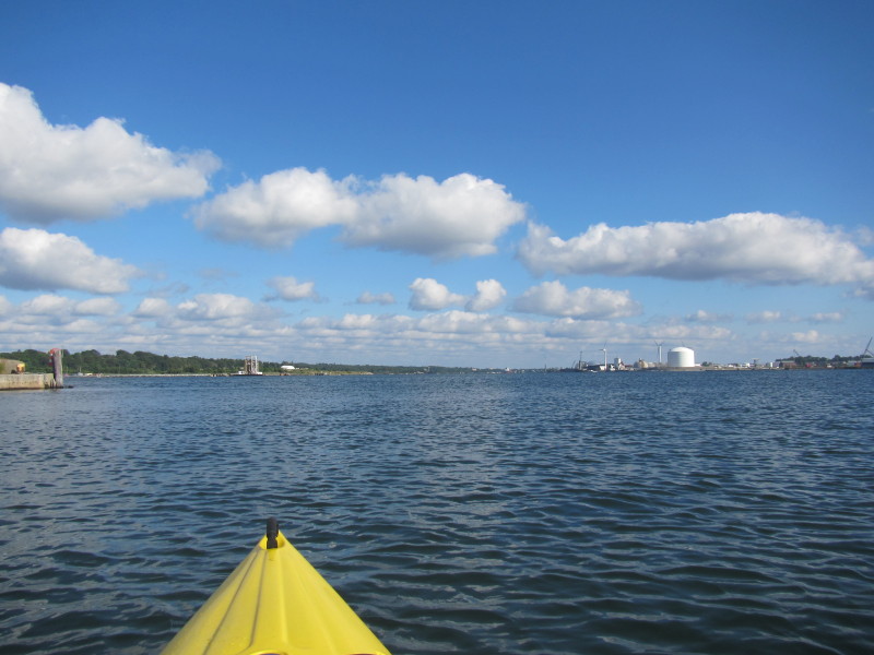 Providence Harbor.
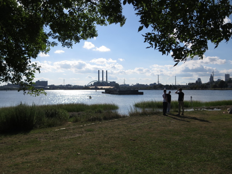
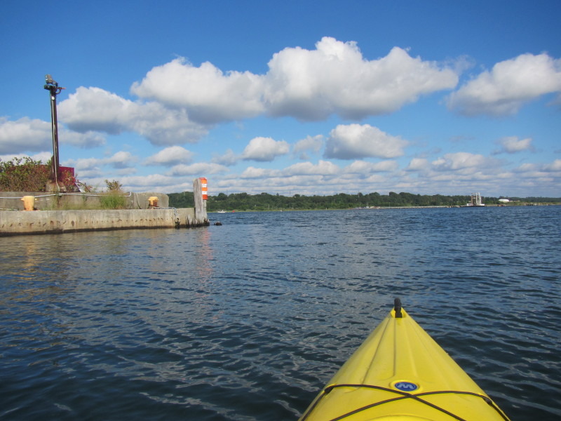 I will veer left to Bold Point Park.
 Straight ahead is my take out at Bold Point Park.
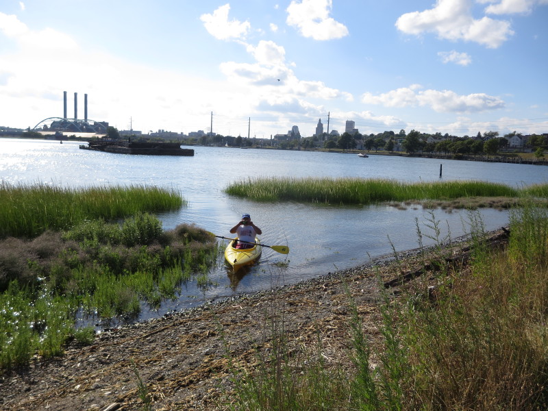
 From the take out at Bold Point Park, the Boston Kayaker's son is waiting and took this photo
of the arches of the I-195 bridge over the Woonasquatucket River.
From the take out at Bold Point Park, the Boston Kayaker's son is waiting and took this photo
of the arches of the I-195 bridge over the Woonasquatucket River.
 Looking to my left, the mouth of Seekonk River draining to Providence Harbor.
 From Bold Point Park ramp, looking to the right is the mouth of Seekonk River as it joins the Providence River.
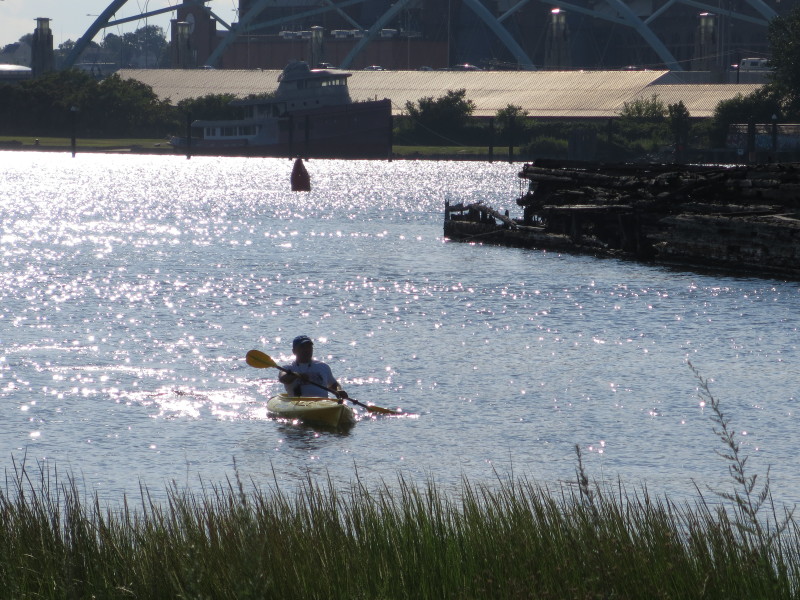
 The Boston Kayaker emerging out of the Providence River into the harbor.
 The Boston Kayaker's son at the landing at Bold Point Park.
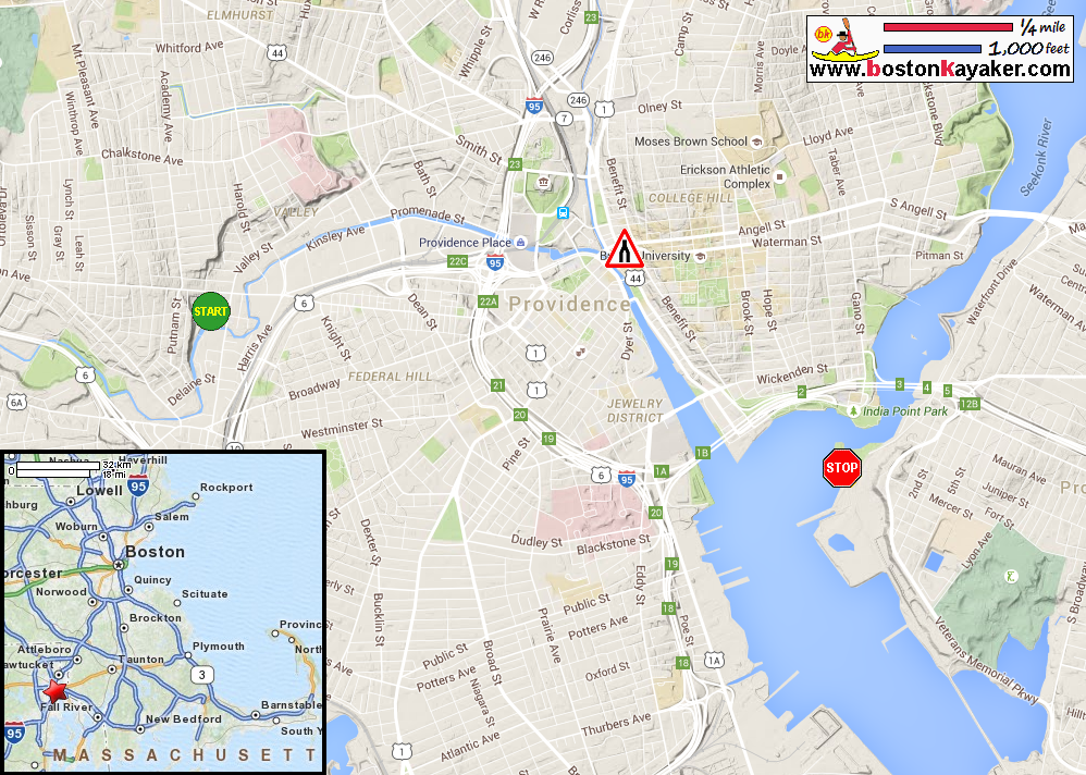
Paddle time is 1 hour 20 minutes. |