 Kayaker

| |||||||||||||||||||||||


|
Download printer-friendly
PDF version that fits in one page: |

|
|
Other resources:
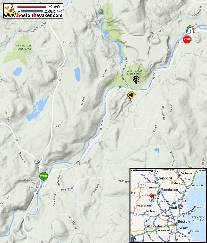
USGS: Piscataquog River Gauge in New Boston NH River Facts: Piscataquog River South Branch All photos in this website are original and copyrighted. 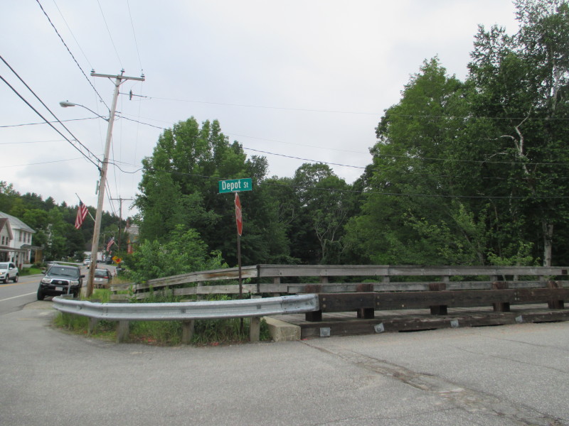 At Depot Street in New Boston NH.
Pictures taken July 2017. 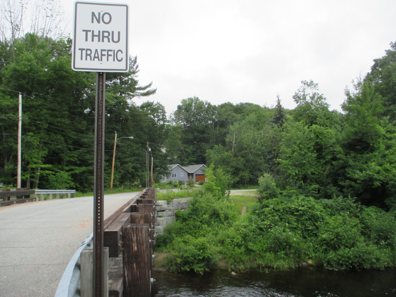 The put in is on the northwest side of the Depot Bridge over the Piscataquog River.
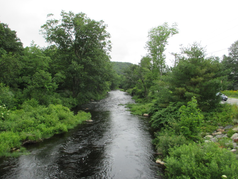
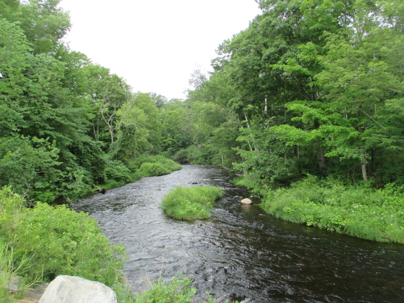 Looking upstream on Piscataquog River from the Depot Street brige.
 Looking upstream on Piscataquog River from the Depot Street brige.
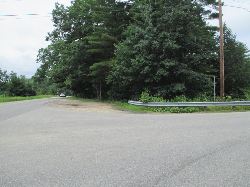 Now at the takeout intersection of Paker Road and Route 13 in New Boston NH.
Looking south on Route 13, a small area to park. 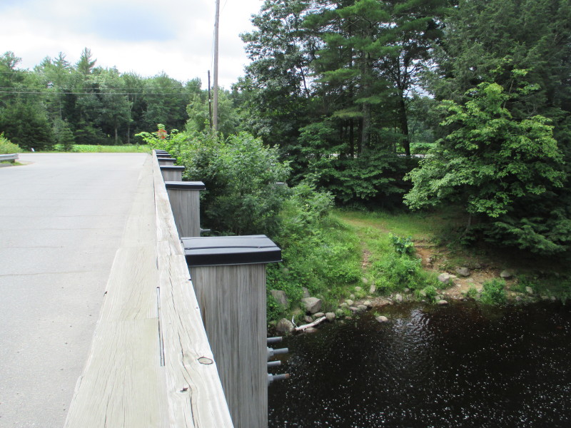 The takeout is on the southeast side of the Parker Road's Howe Bridge in New Boston NH.
 The USGS River Gauge on Piscataquog River at the take out.
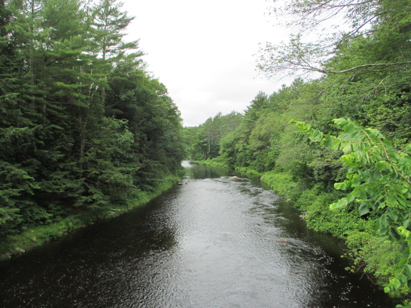 Piscataquog River looking downstream from Howe Bridge.
I later checked the USGS river gauge website and this was flowing 300cfs (cubic feet per second) around this time of the picture. |