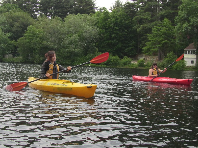
 Kayaker

|


|
Download printer-friendly
PDF version that fits in one page: |

|
|
Other resources:
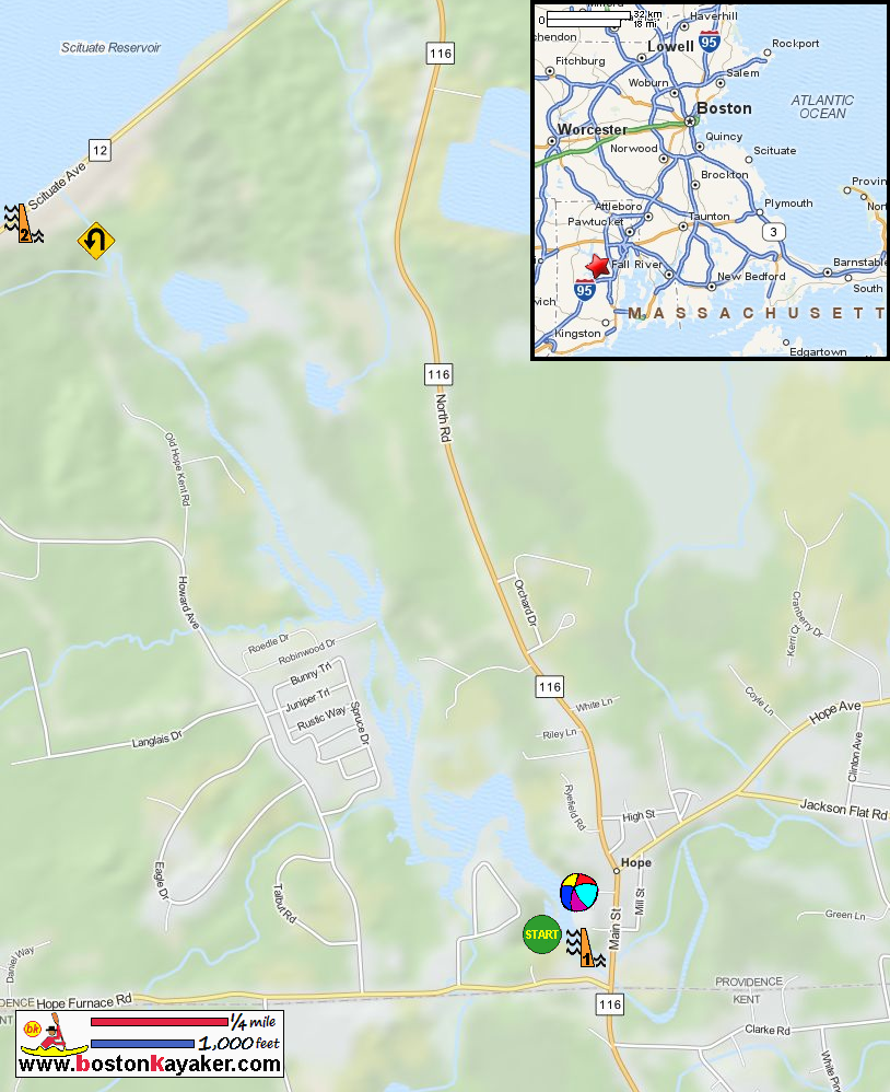
Explore RI's Blueways and Greenways: Pawtuxet River Hope Landing Access All photos in this website are original and copyrighted. 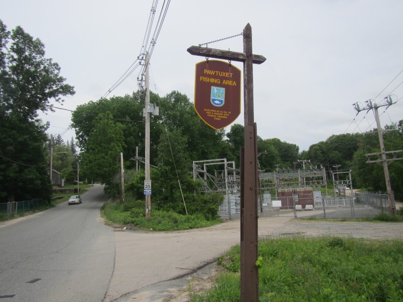 The road mark to Hope Dam access to Pawtuxet River at Hope Furnace Road in Hope RI.
Trip date is June 2015. 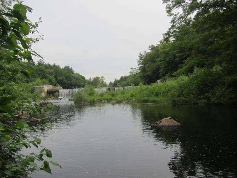 Hope Dam from below.
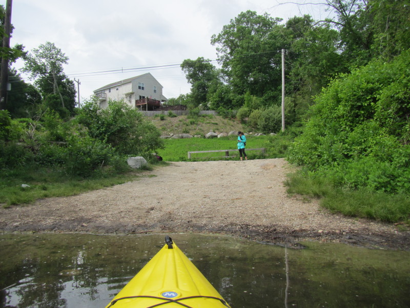
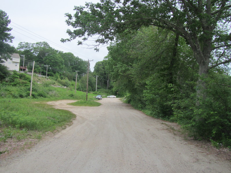 The Hope Dam launch area to Pawtuxet River off Hope Furnace Road in Hope RI.
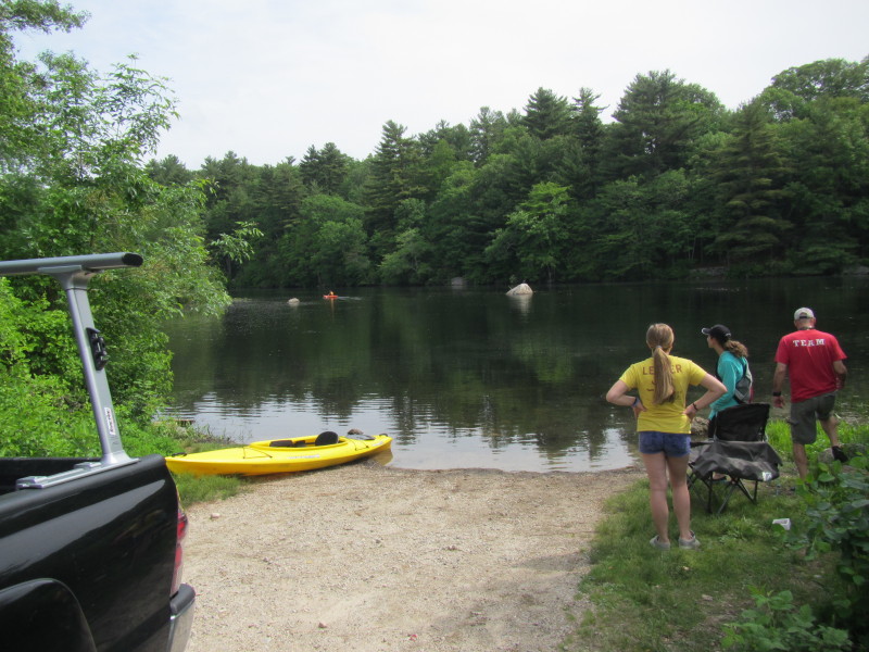
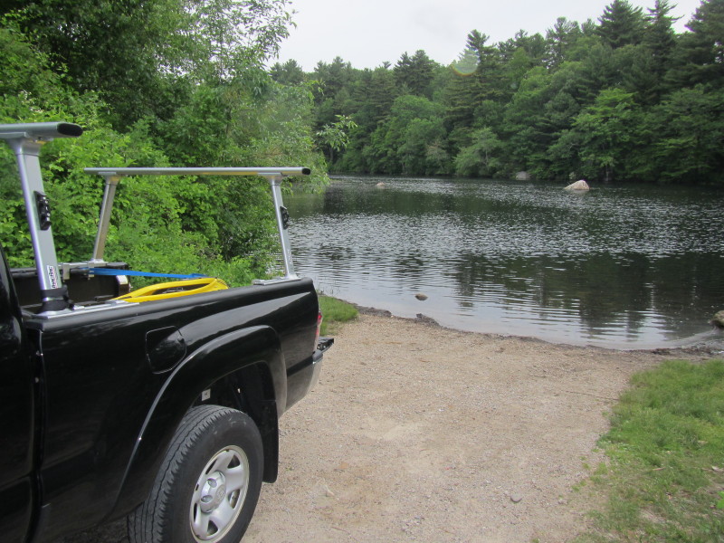 The put into Pawtuxet River beside Hope Dam.
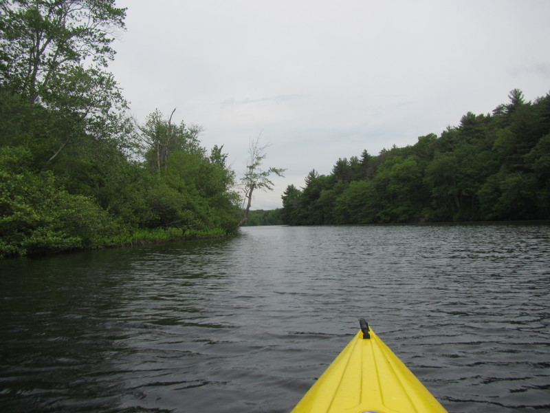
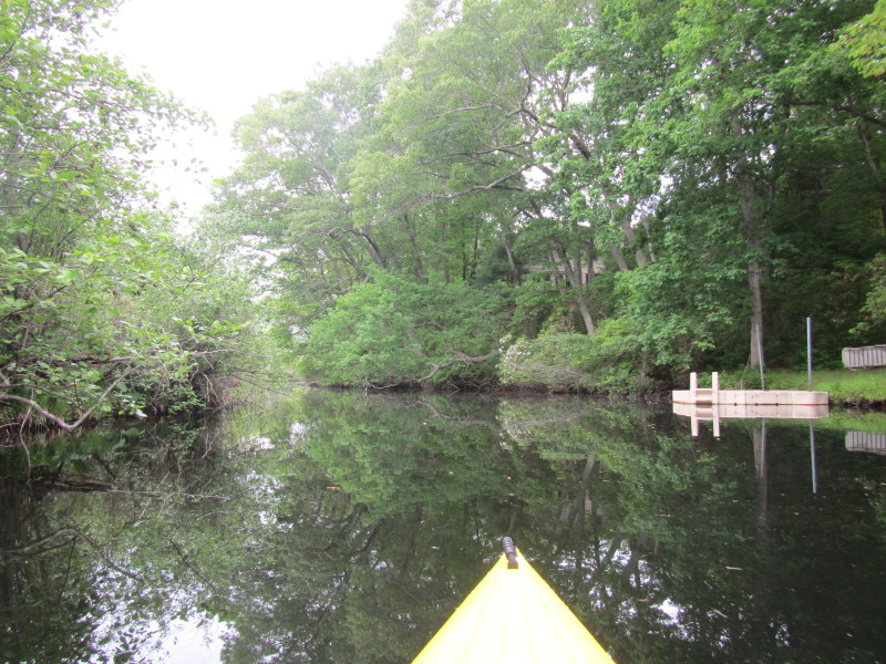
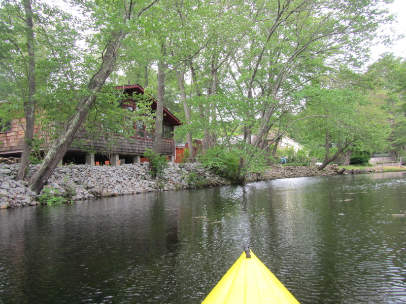
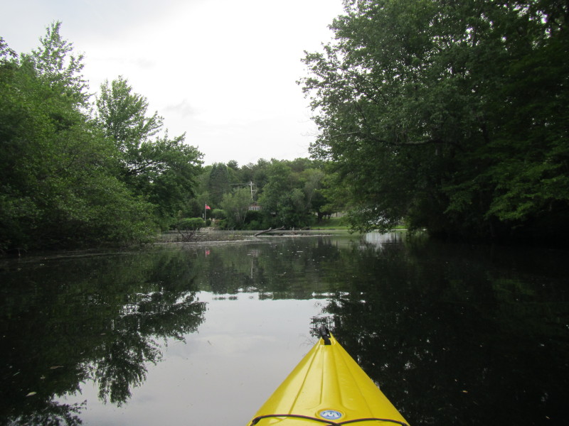
 The Boston Kayaker just launched in the upper Pawtuxet River in Hope RI.
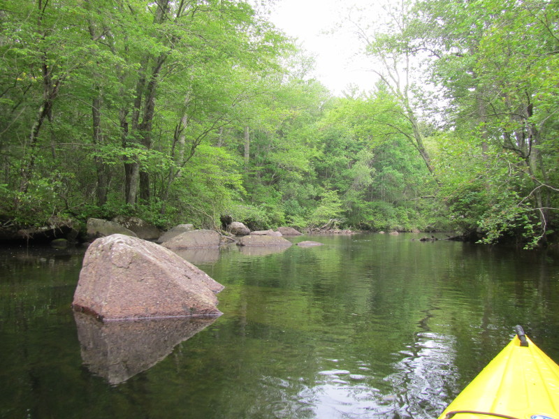
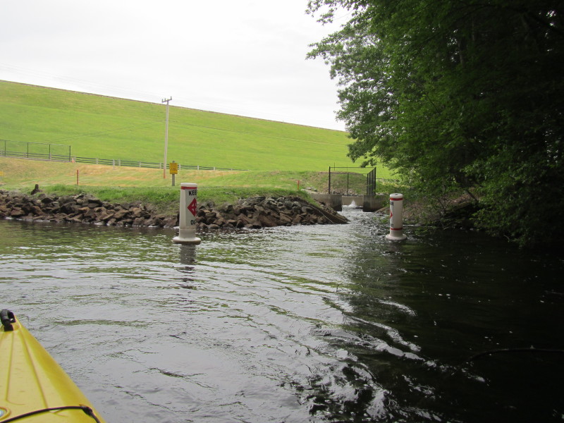
 Looking to my right is the top of Hope Dam.
 Veered to my left.
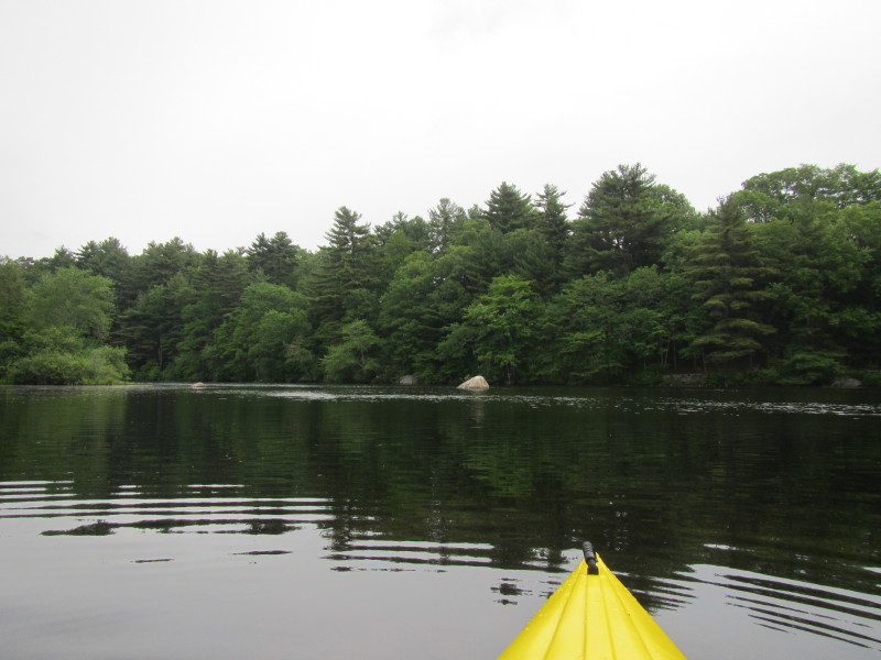
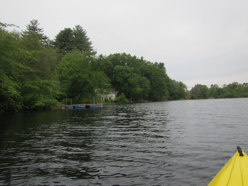
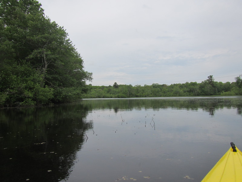
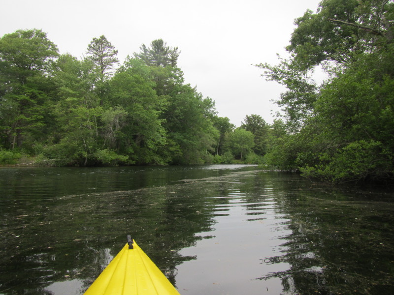
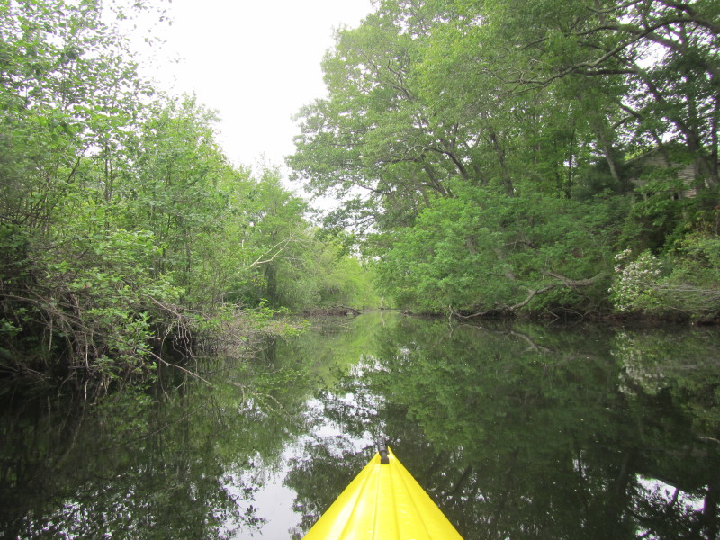
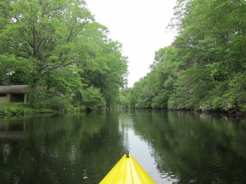
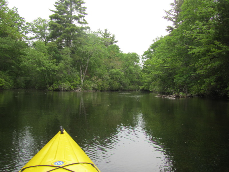
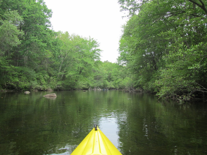
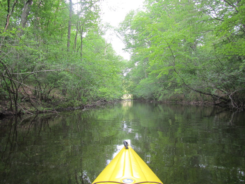
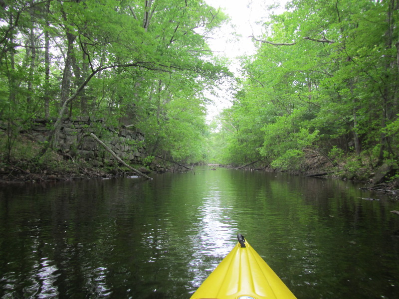
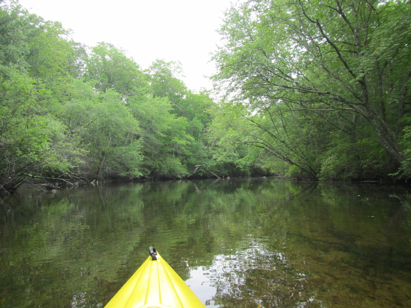
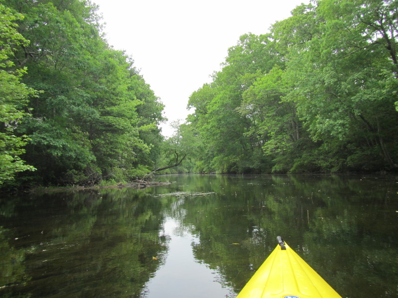
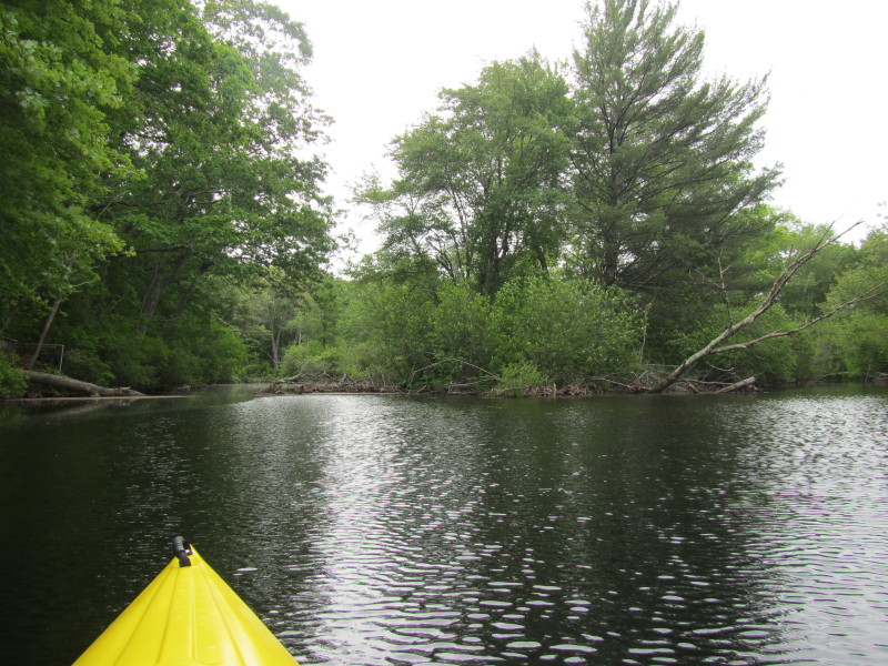
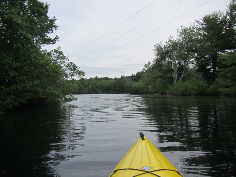
 Paddling upriver north into Pawtuxet River.
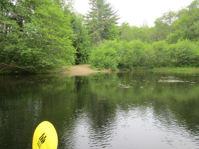
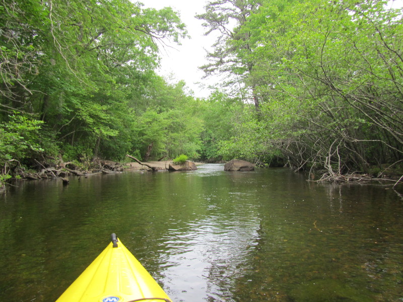
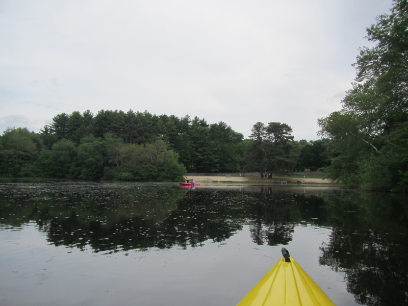
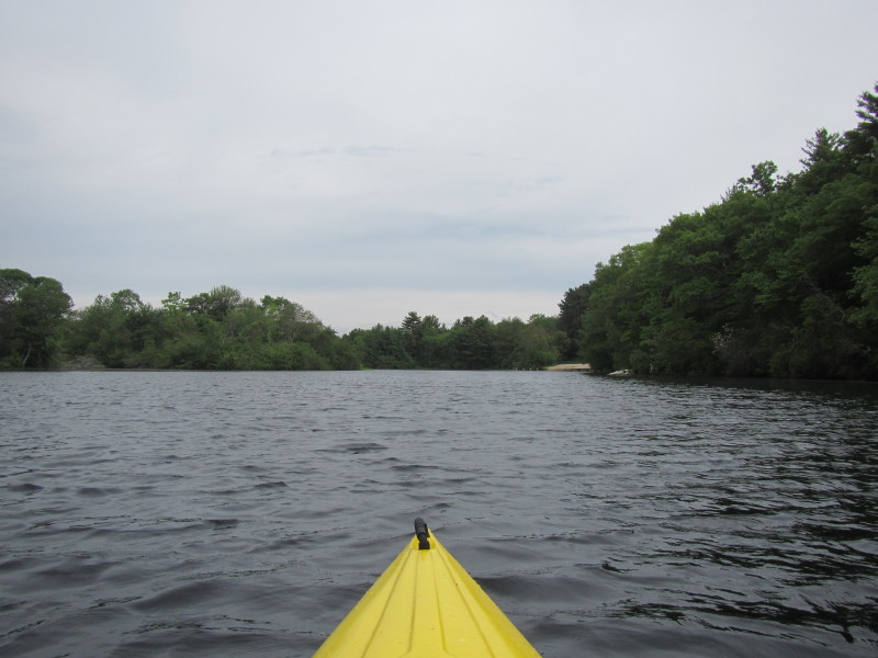 Approaching the sandy beach on my right.
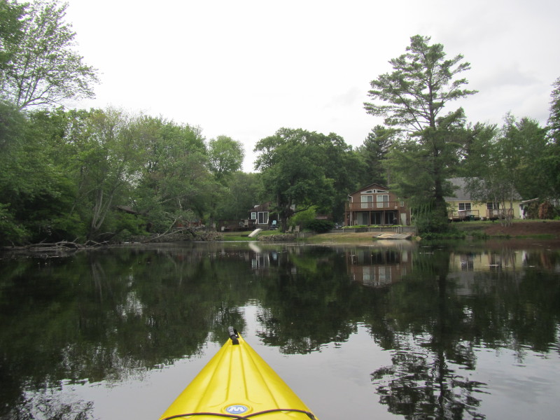
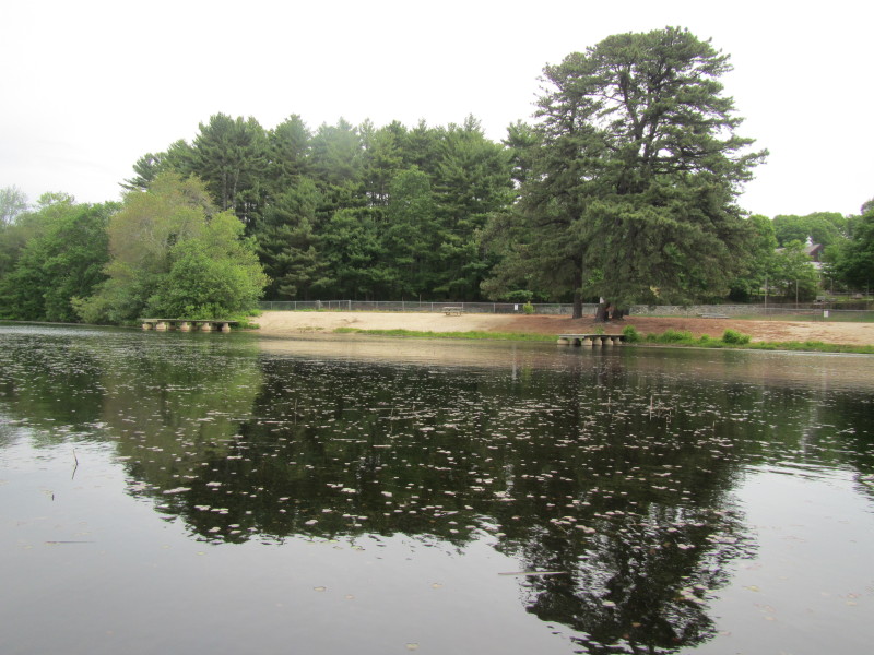 Public beach on Pawtuxet River in Hope RI.
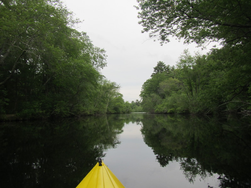
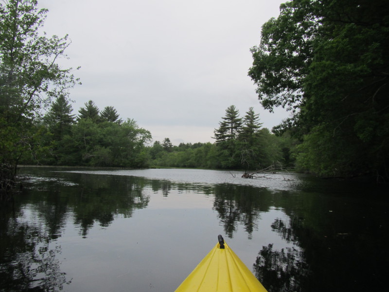
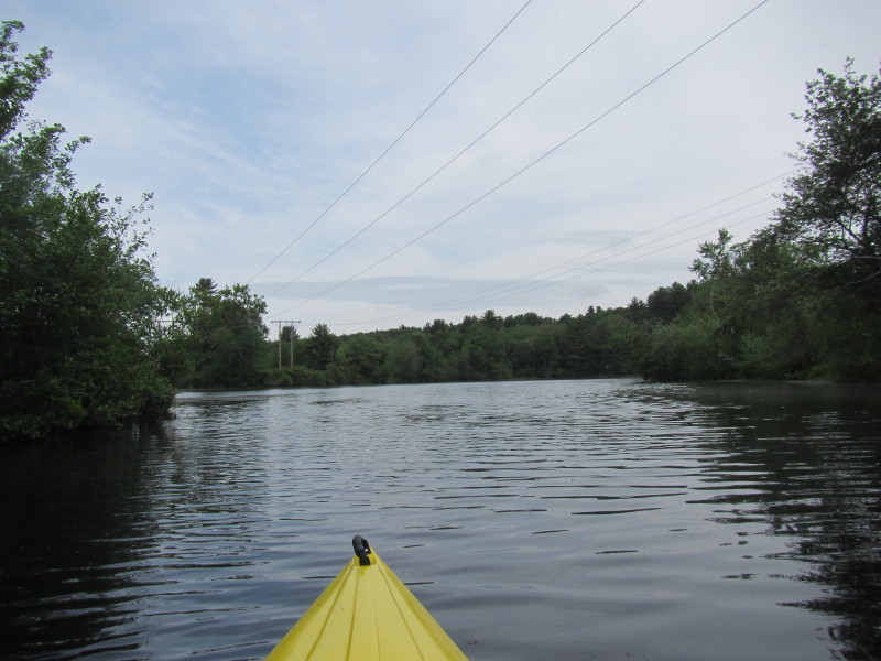
 Skies are gray . . .
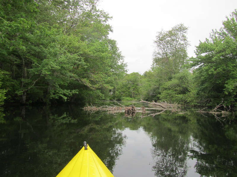
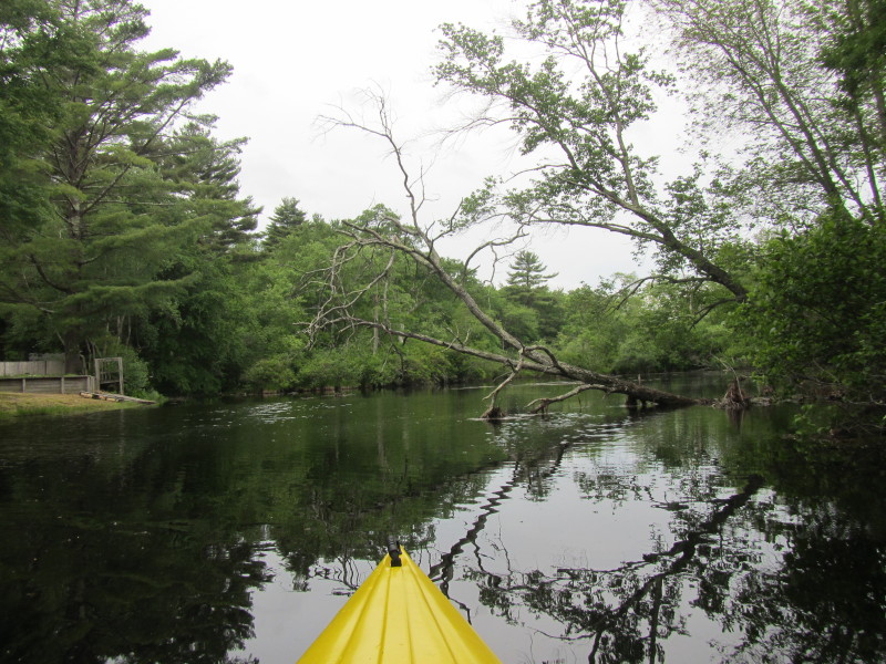
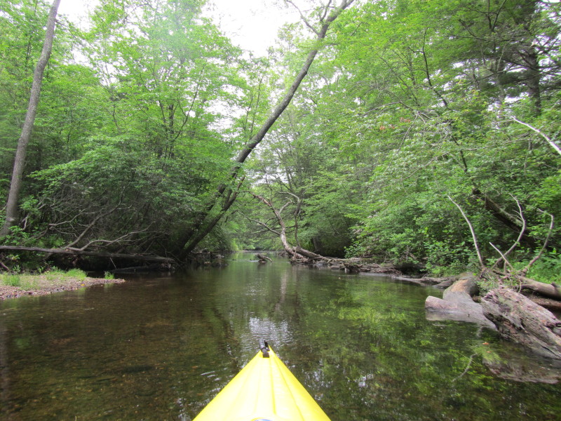
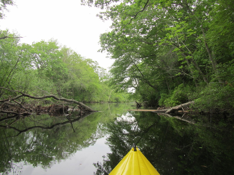 I have to slide over this downed tree on the Pawtuxet River.
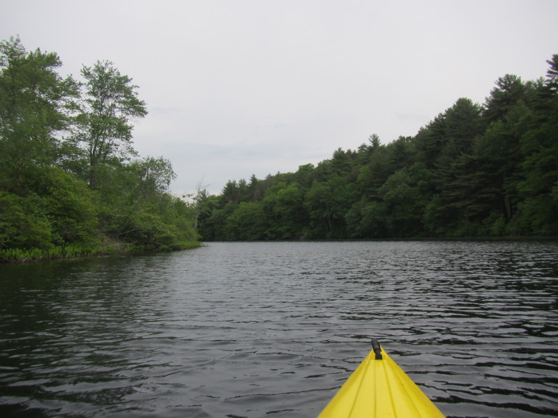
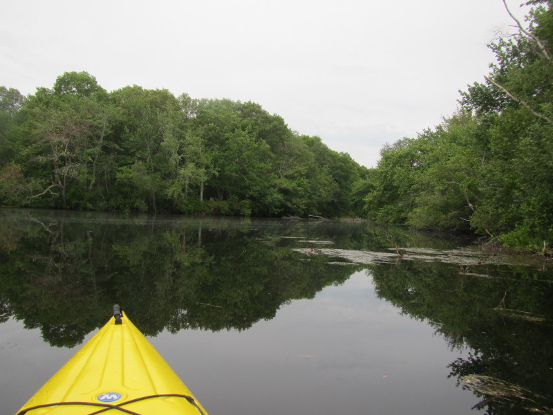
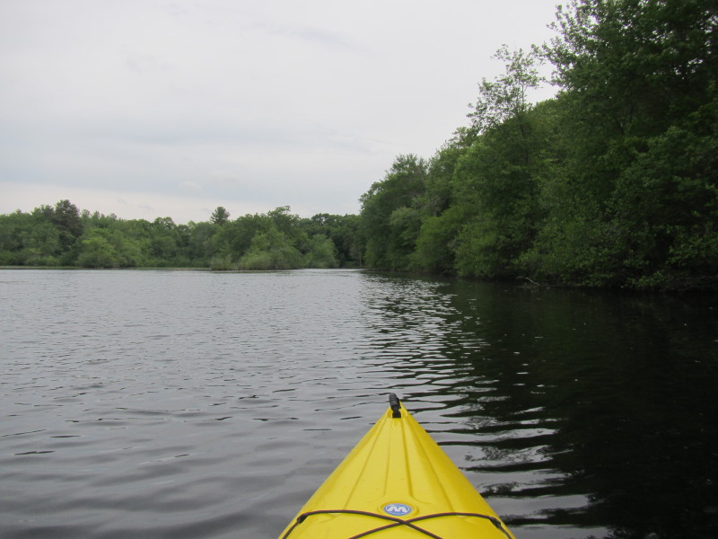
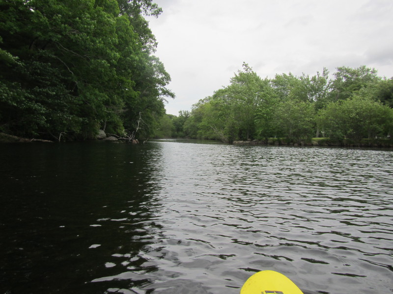
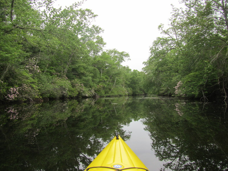
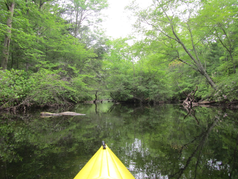
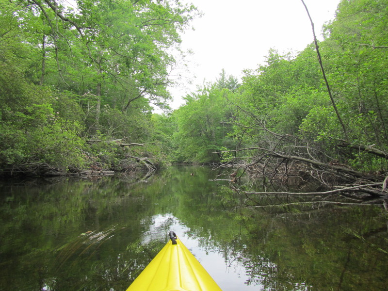
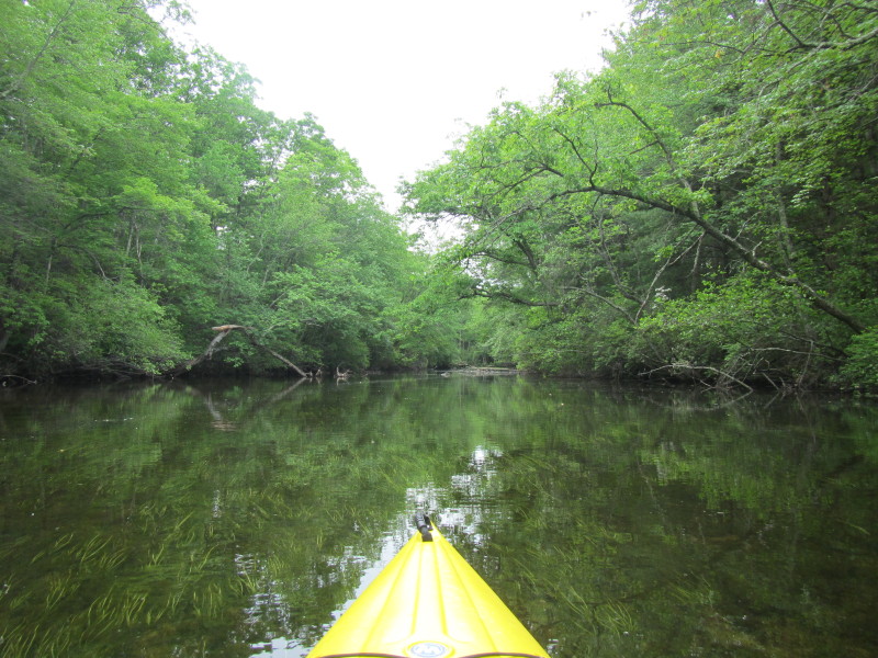
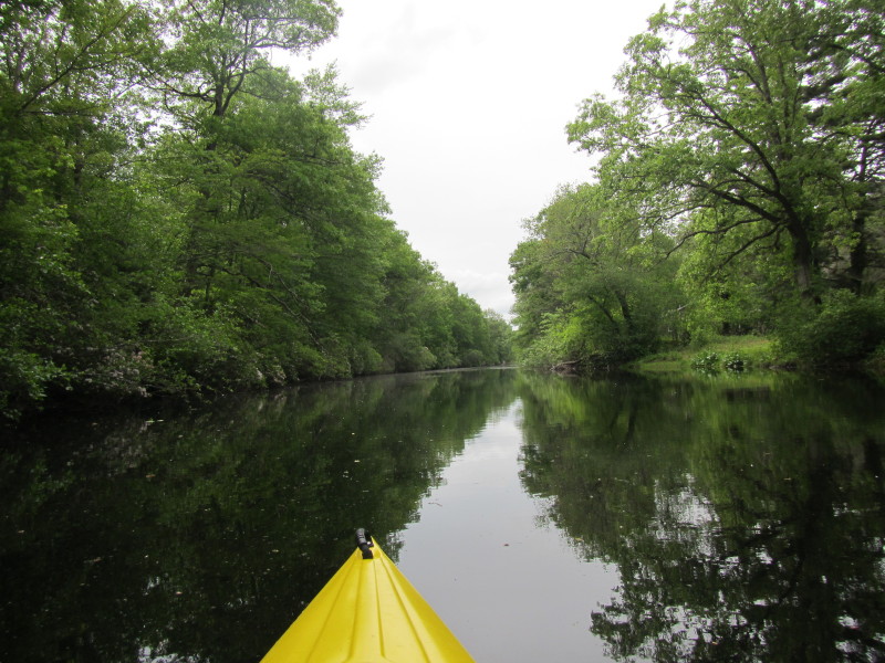
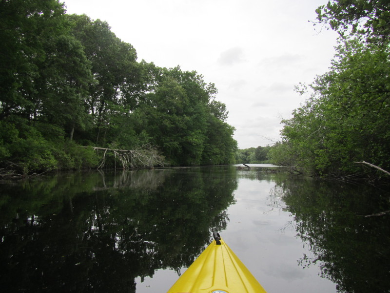
 Veering to my left to follow the main stem of Pawtuxet River.
 Looking at my left where I came from.
 The river bank on my left is protected by those rocks as Pawtuxet River bends on that bank.
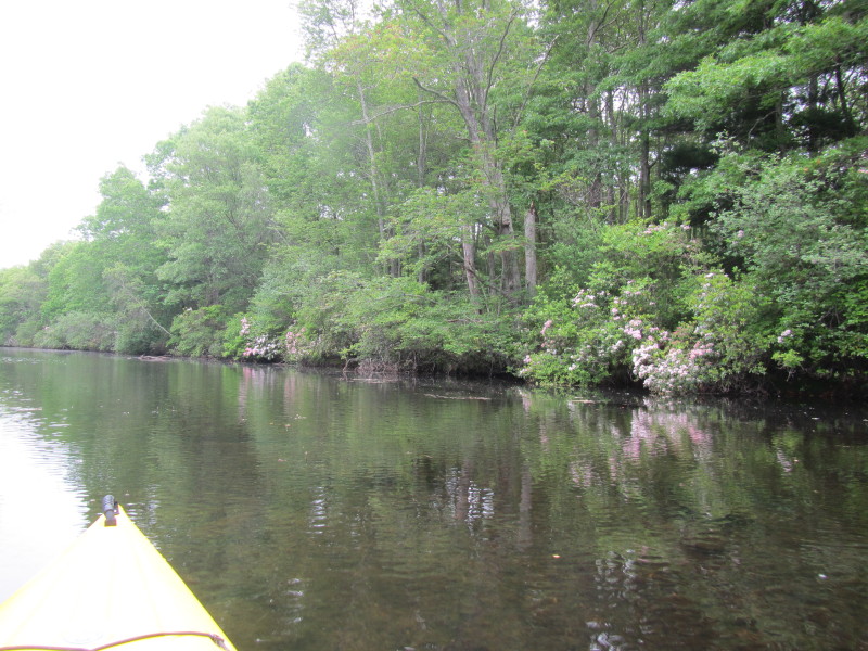
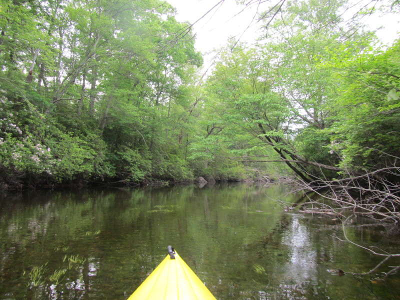
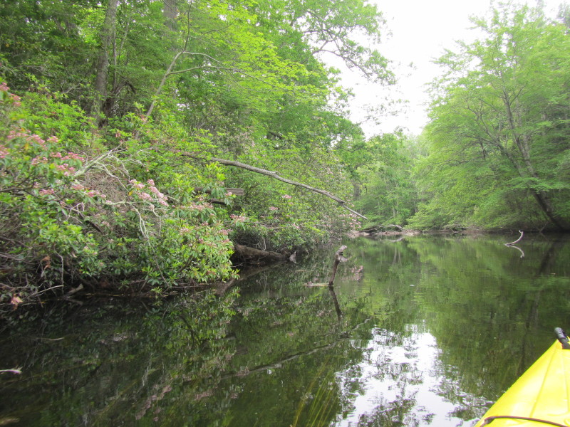
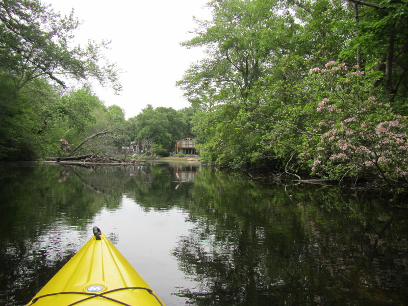
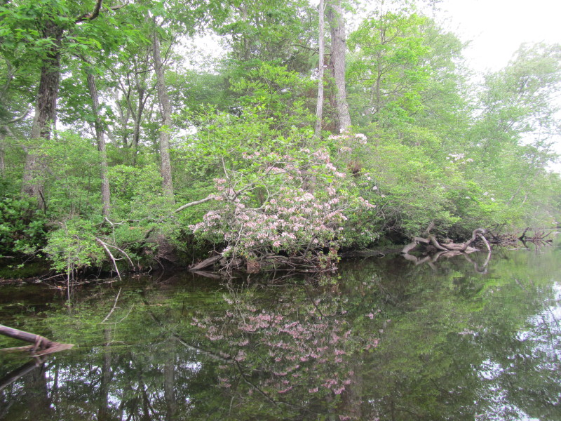 Flowers on Pawtuxet River bank.
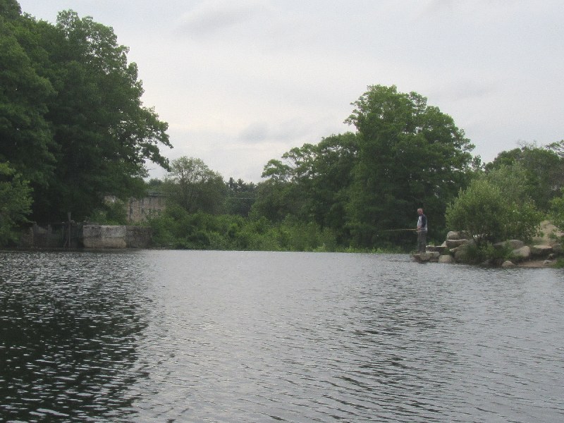
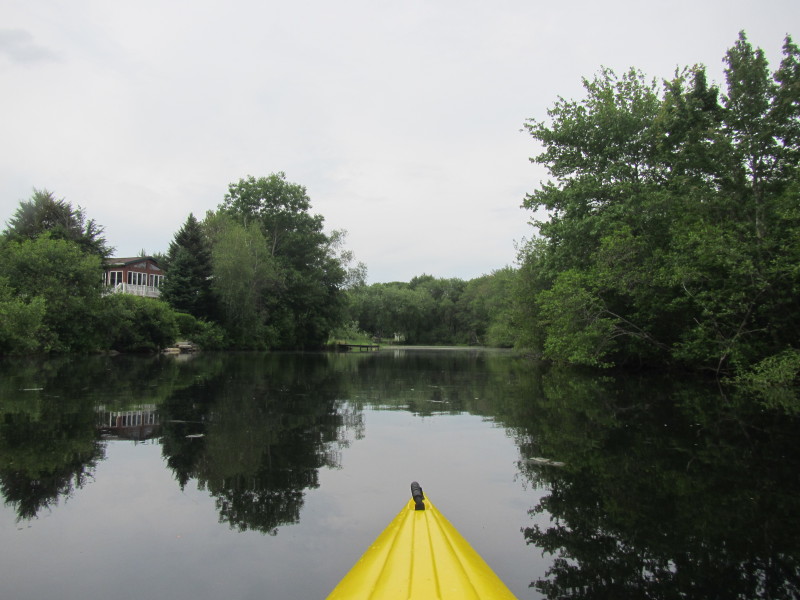
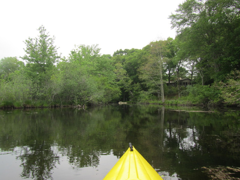
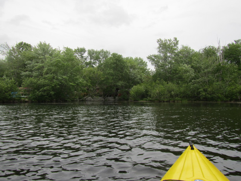
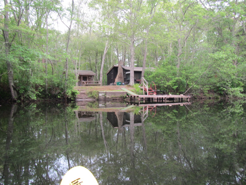
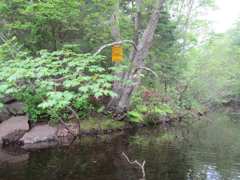
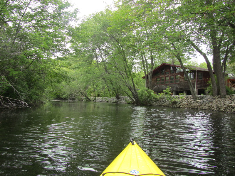
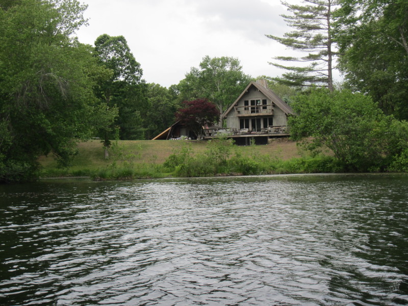
 To my left is what appears to be an access to Pawtuxet River from Robinwood Drive?
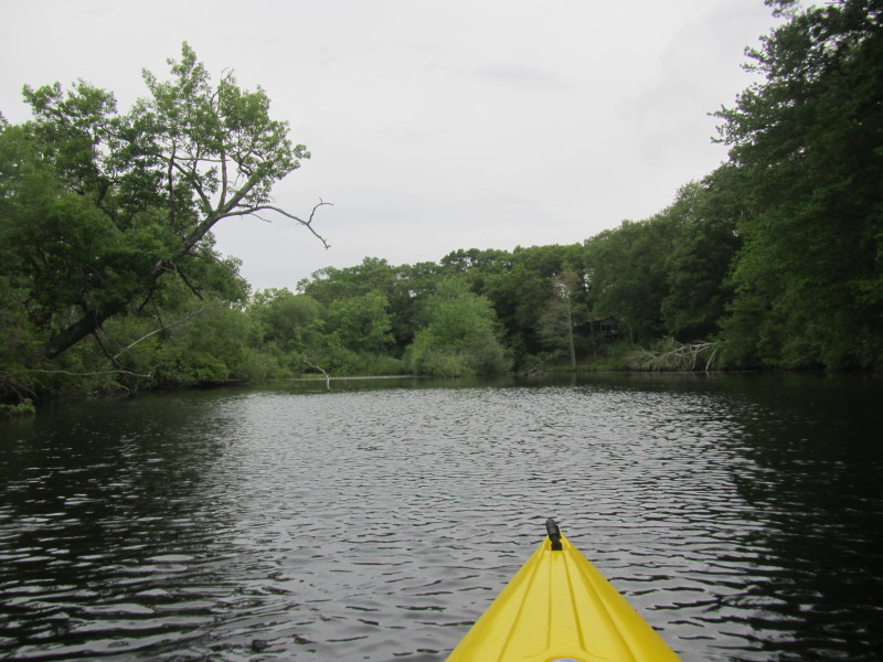
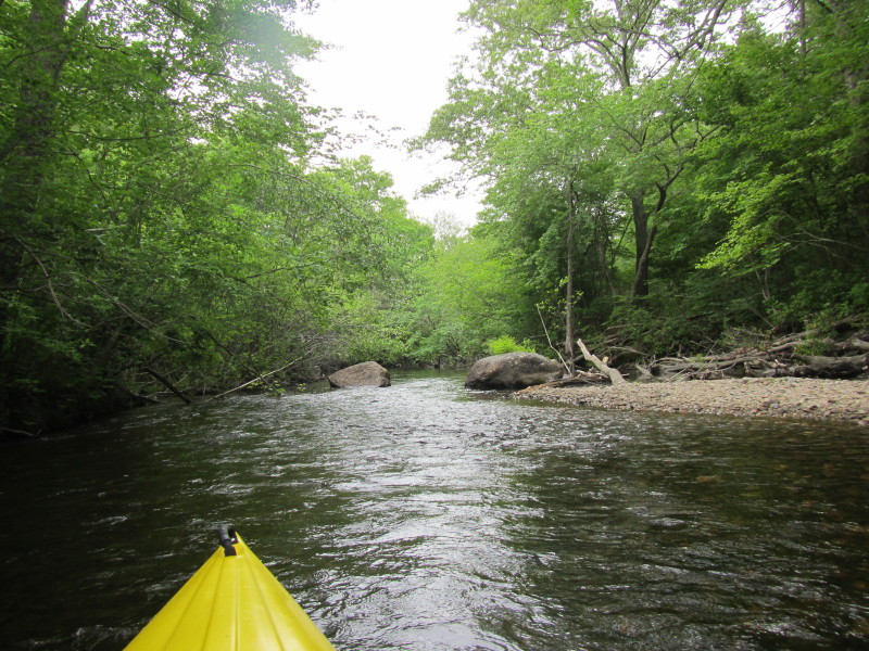
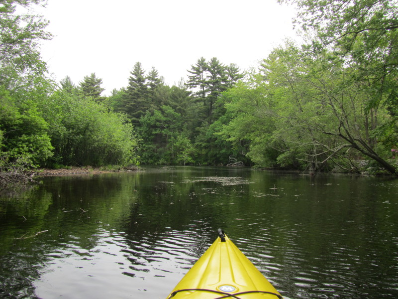
 An island in the middle of Pawtuxet River.
 I took the bigger flow to the right of the island.
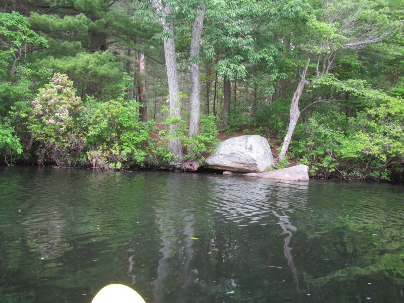
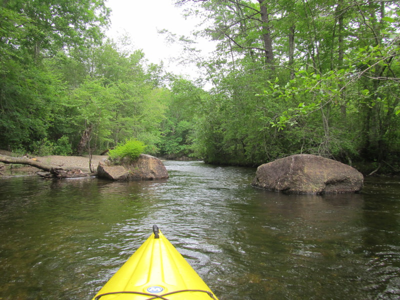
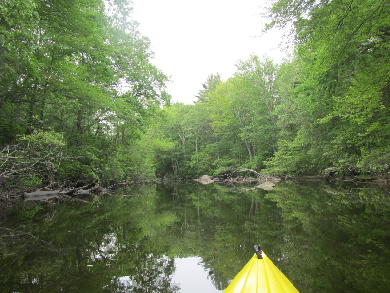
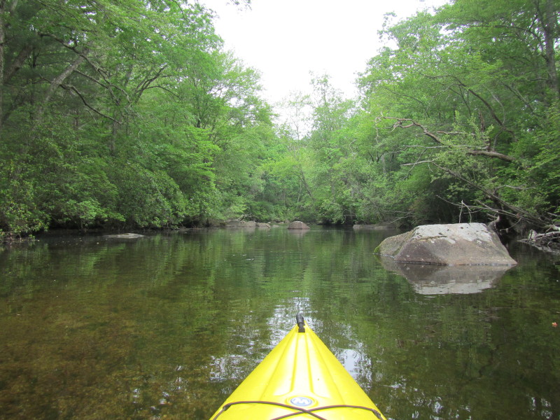 Scenic rocks on Pawtuxet River.
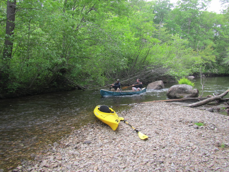
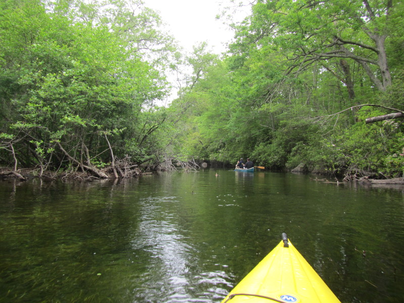 A pair of paddlers on a canoe.
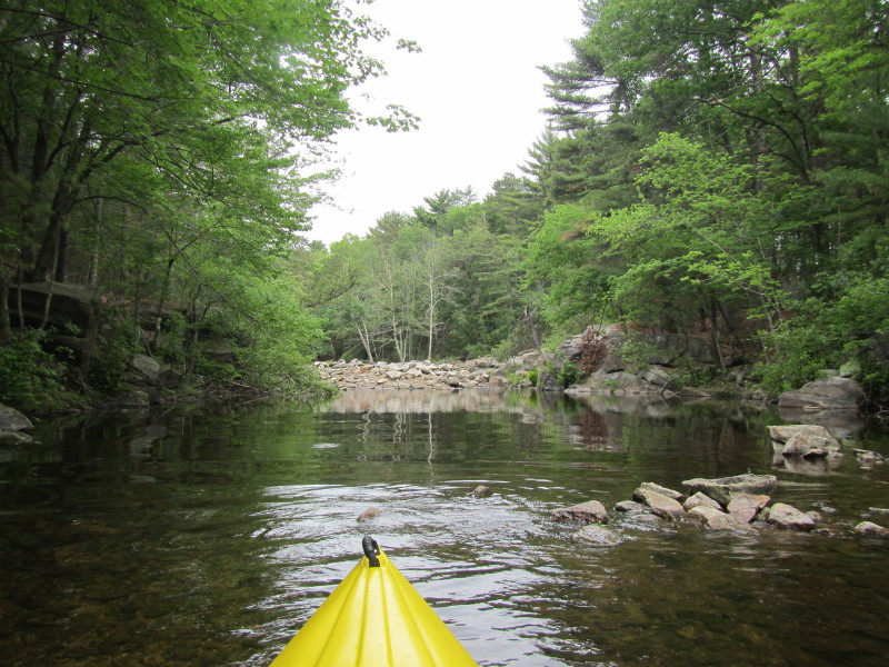
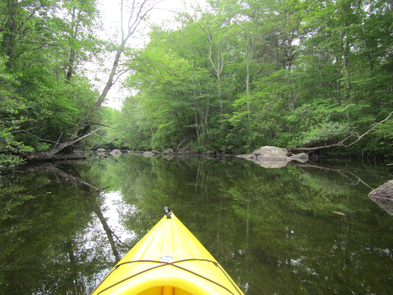
 In the middle of these two rocks is a shallow spot with fast moving water.
 Have to get out of my kayak . . .
Now watching these two canoers behind me. 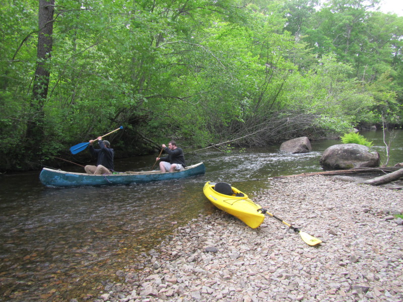
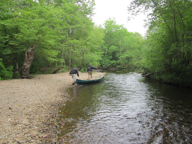 Have to drag our canoes and kayak some 20 feet or so.
In the middle of this picture is the fork at the upper end of kayak route map. 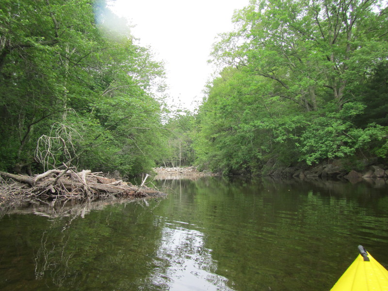 Turned left at the fork.
 This left fork is short and I immediately see this rocky dead end.
 Turned around . . .
 Turned to my left to chase the right fork.
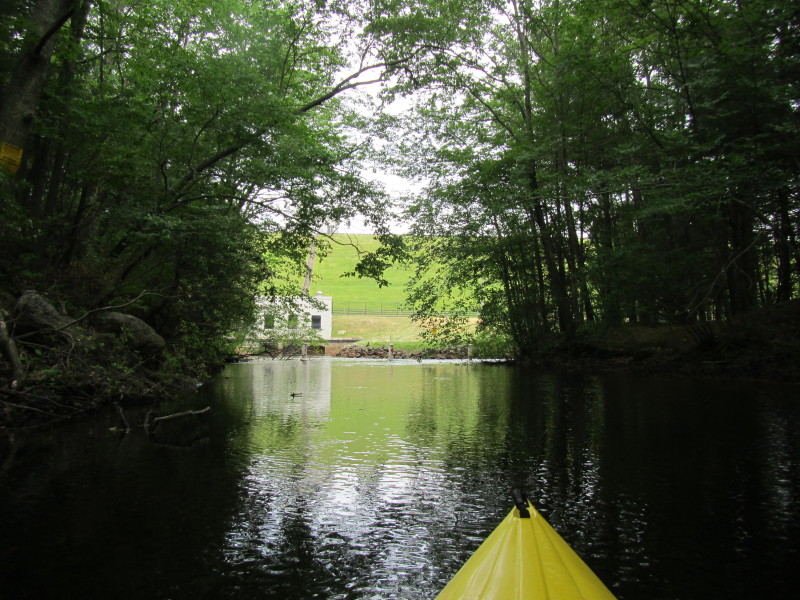
 Entering the right fork towards the Scituate Reservoir outlet.
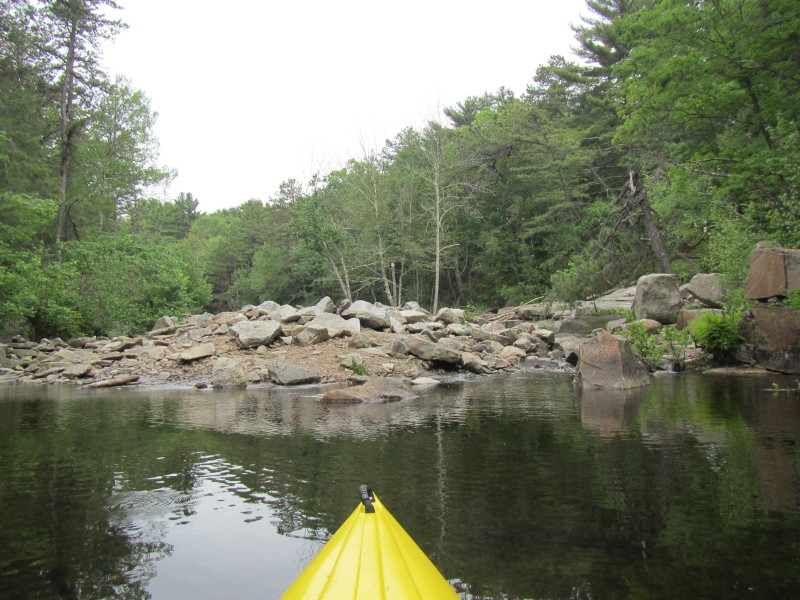
 The dam walls of the Scituate Reservoir.
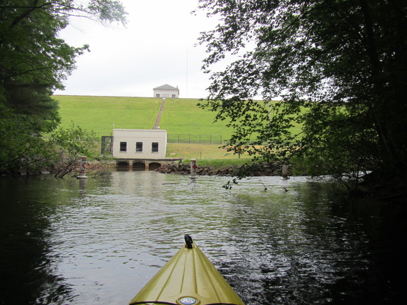
 The outlet of Scituate Reservoir Dam and the head waters of Pawtuxet River.
 Turned around and now paddling with the flow on Pawtuxet River.
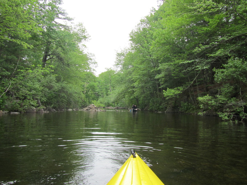
 There are the two rocks and the shallow and fast patch.
 No need to drag kayak on this spot when going with the river flow.
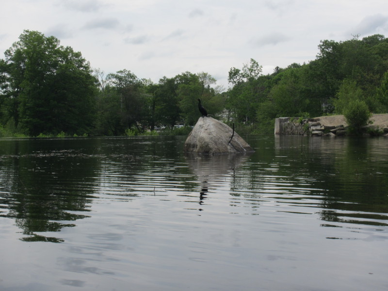
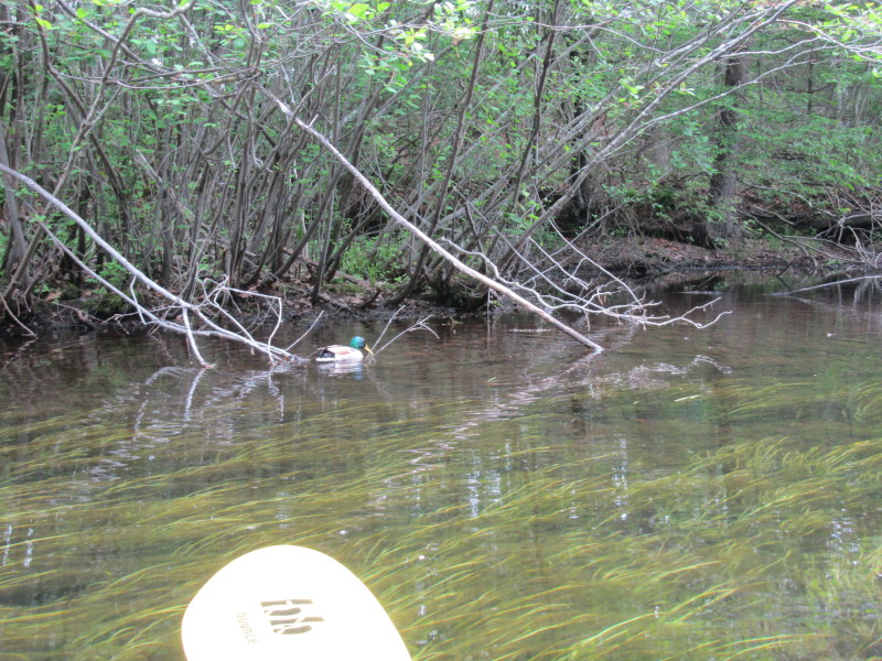 A duck on Pawtuxet River.
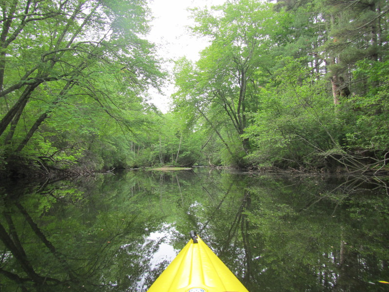
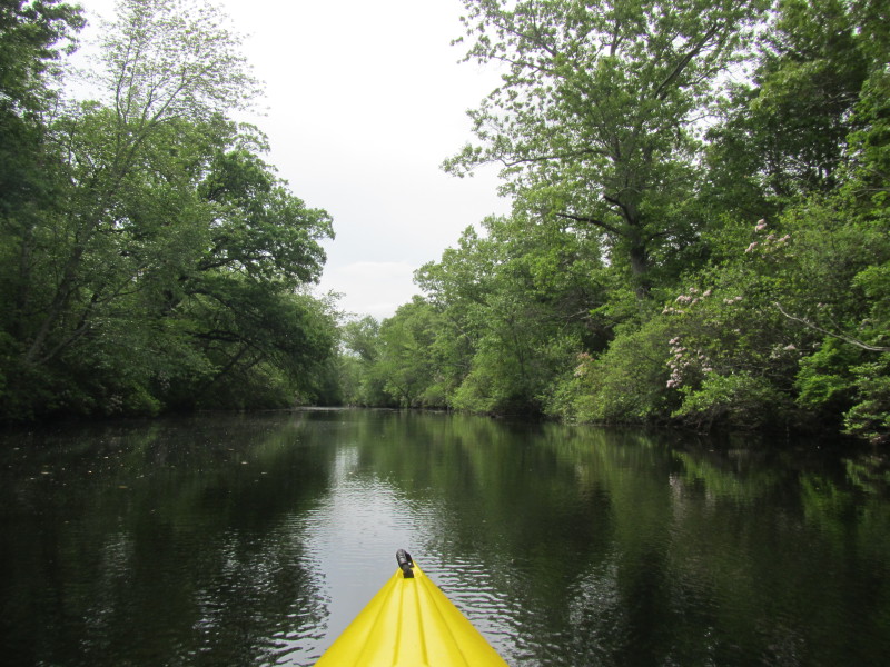
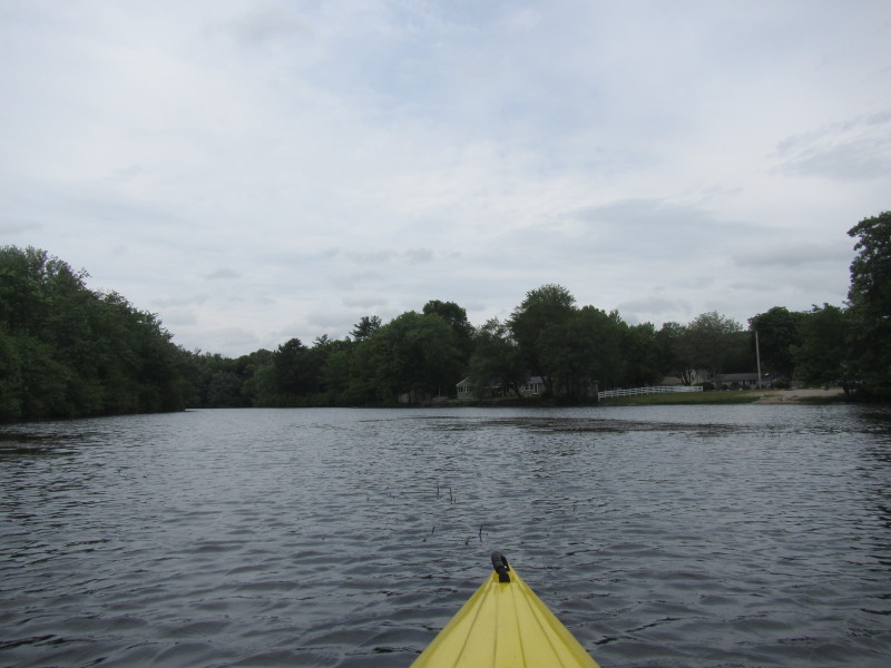
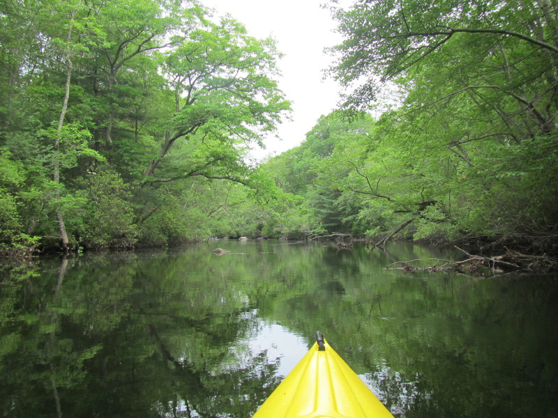
 Pawtuxet River bending to the left.
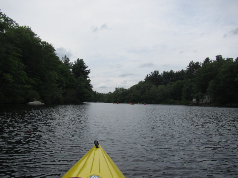
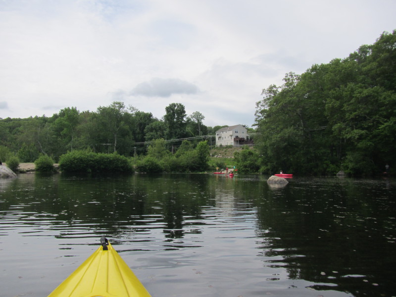
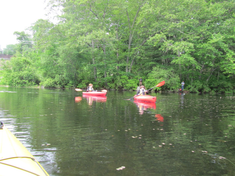
 A couple of kayakers.
The empty public beach in the background. 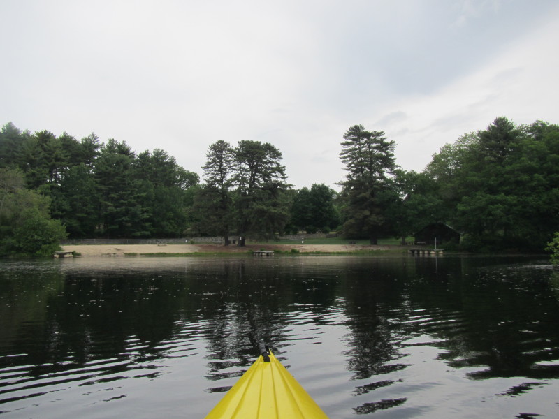
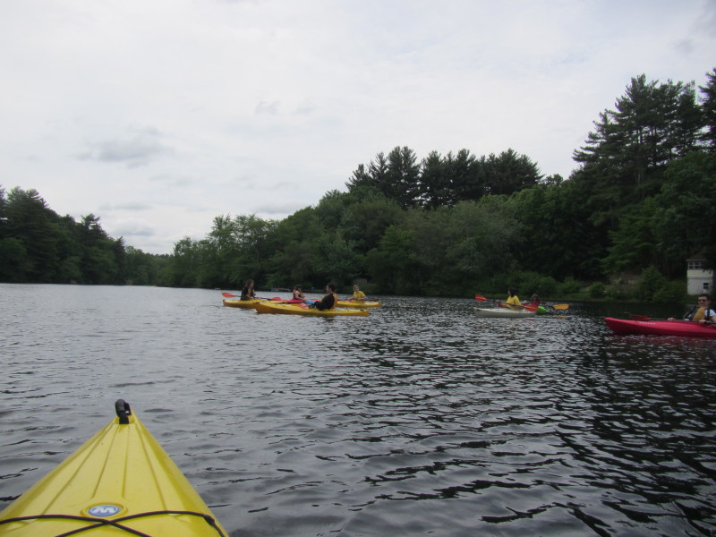
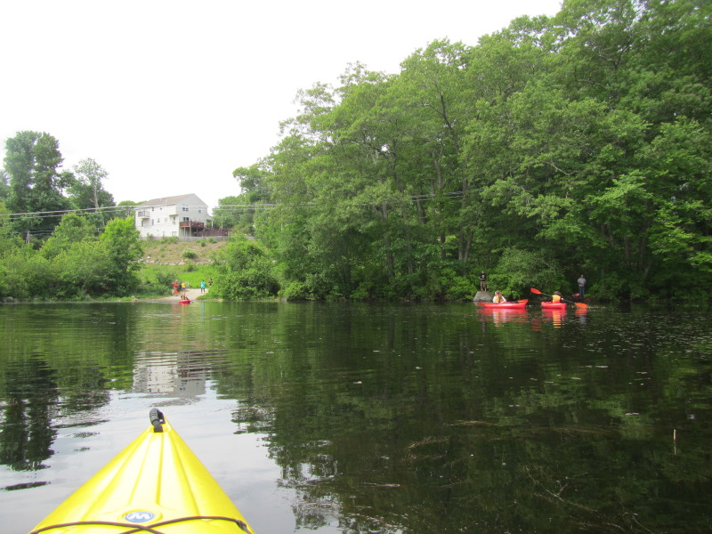
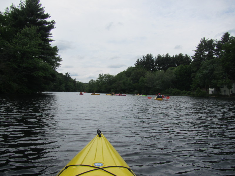 A group of young kayakers on Pawtuxet River.
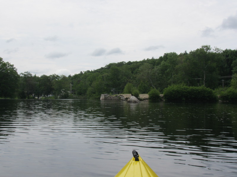 I can now see the concrete pillars of Hope Dam.
 Landing back beside Hope Dam.
 I paddled the round trip on Pawtuxet River for 1 hour and 40 minutes.
|