 Kayaker

|


|
Download printer-friendly
PDF version that fits in one page: |

|
|
Other resources:
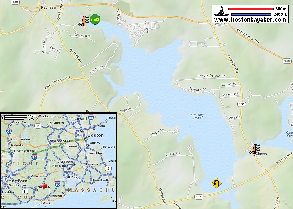
LakeLubbers: Pachaug Pond CT Govt: Pachaug Pond Boat Launch (will open in new window) Pachaug Marina and Campground All photos in this website are original and copyrighted. 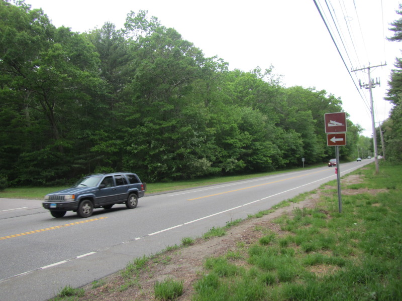 The road sign on Route 138 in Voluntown CT pointing to the Pachaug Pond boat ramp.
Trip date is May 2013. 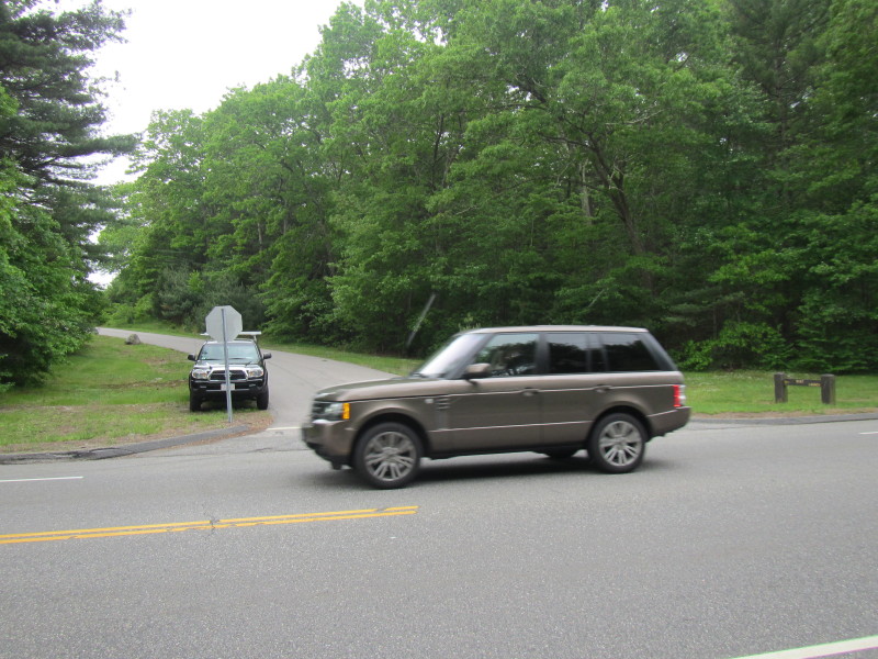
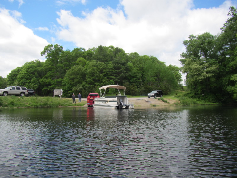
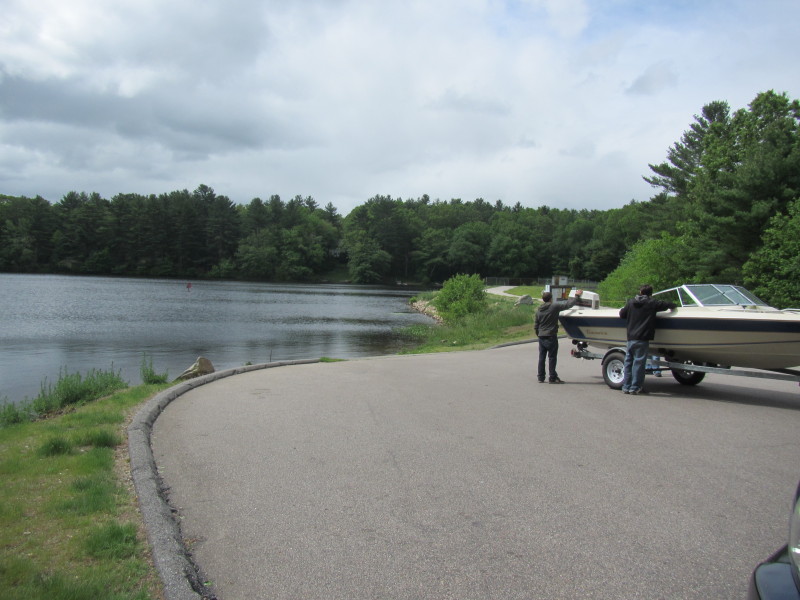 Some guys launching at Pachaug Pond.
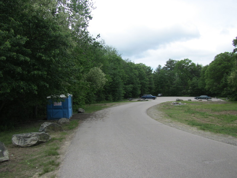 The parking area at Pachaug Pond with chemical toilets.
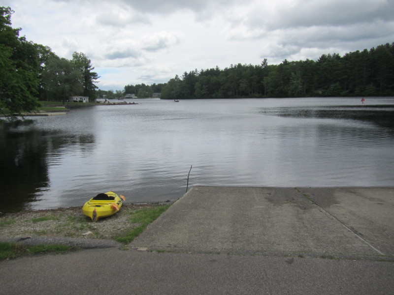
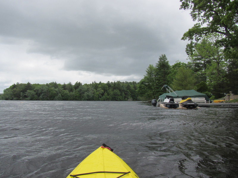
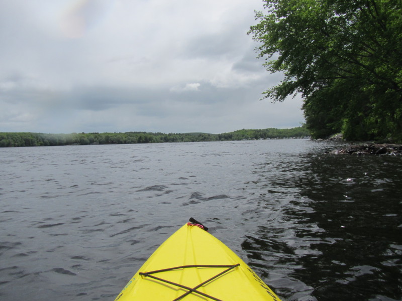
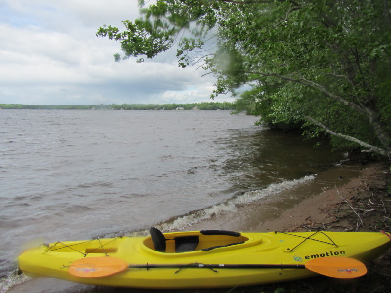
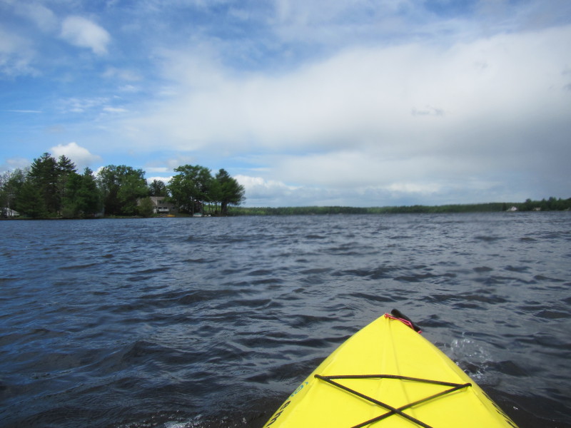
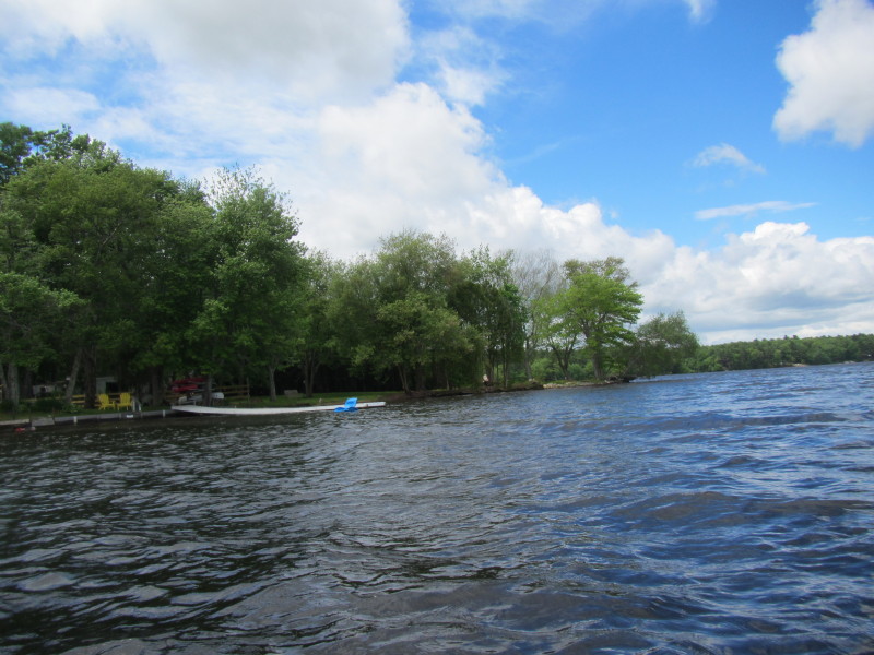
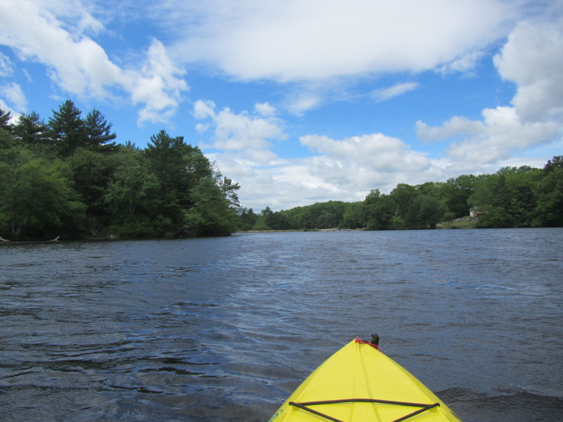
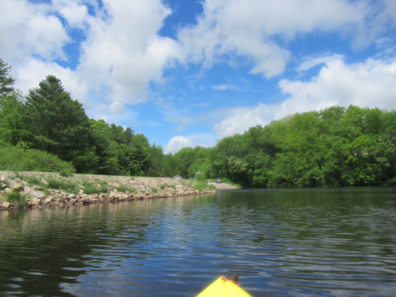
 Just launched on Pachaug Pond.
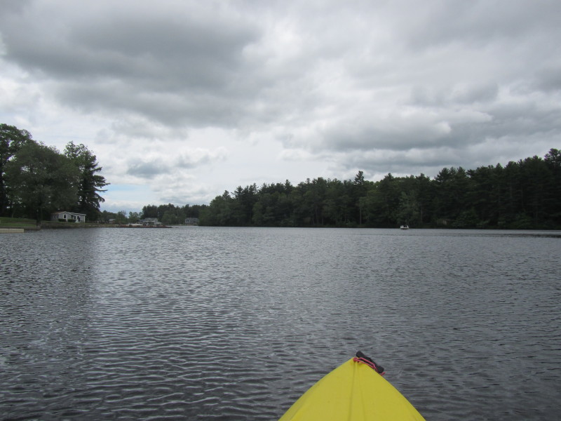
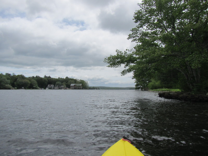
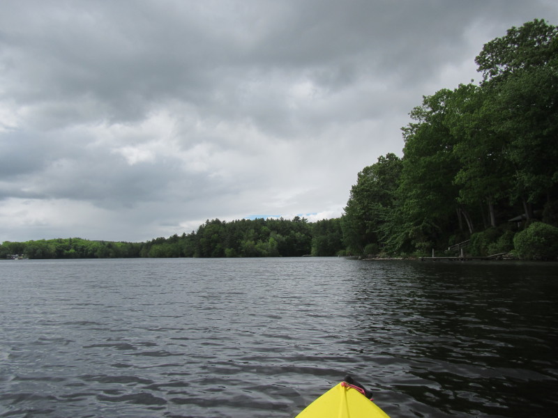
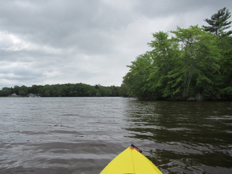
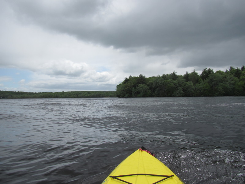
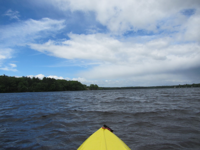
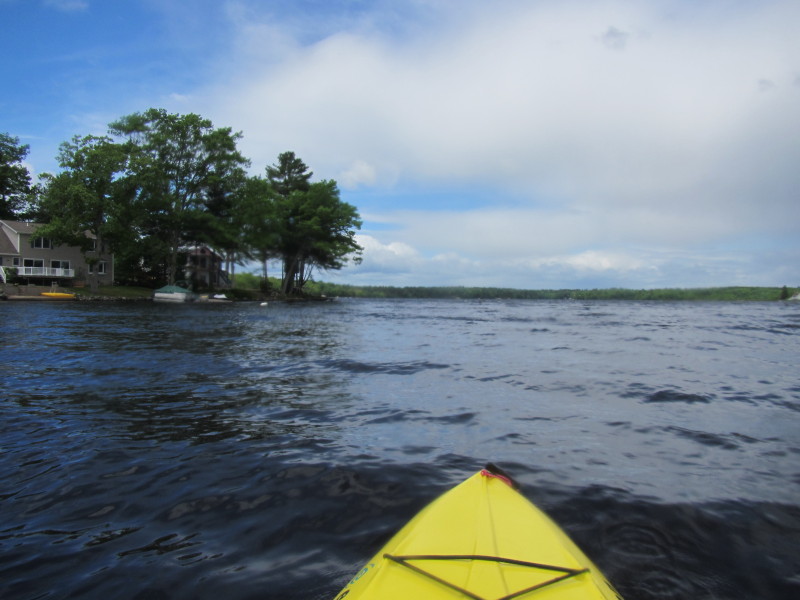
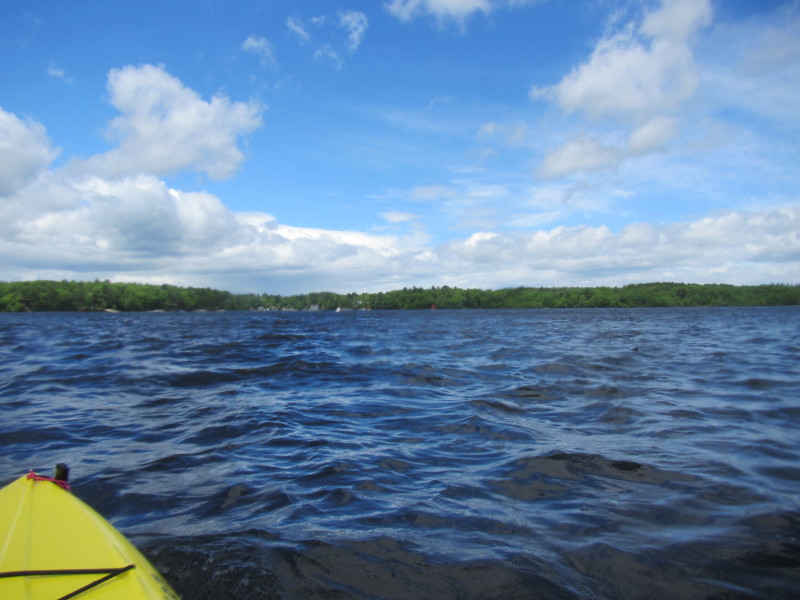
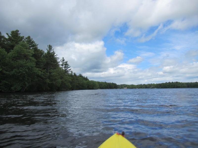
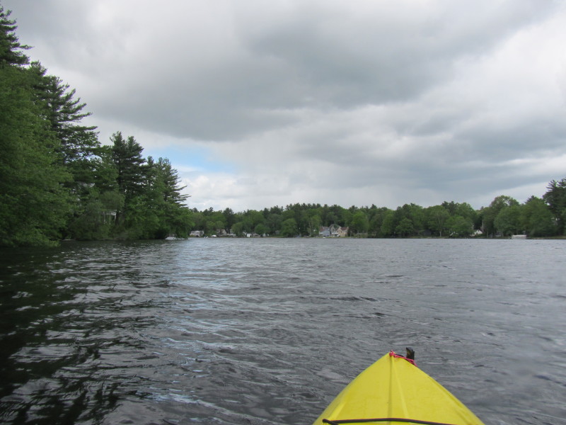
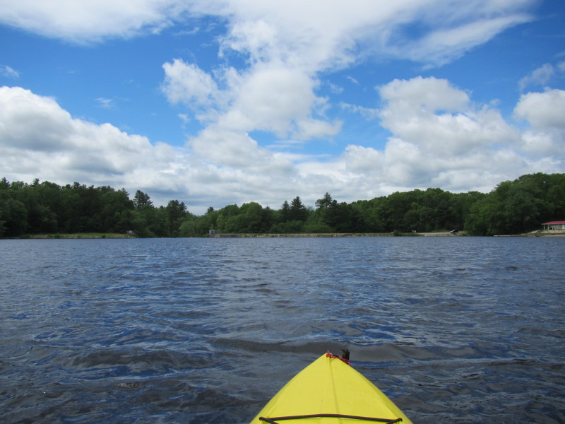
 Heading to the south/west side. Will hug the coastline on that side.
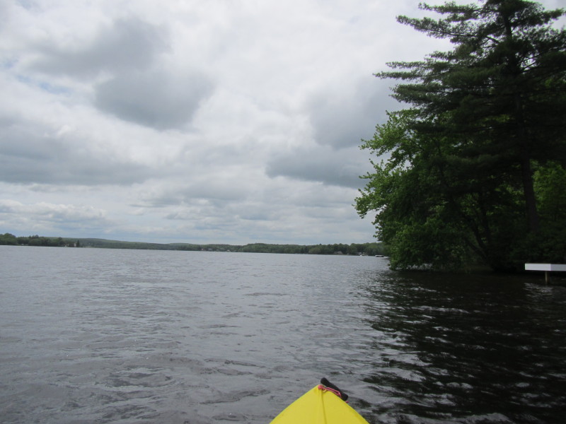
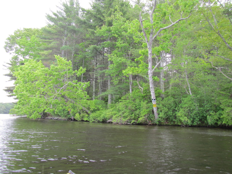
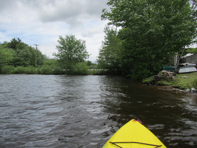
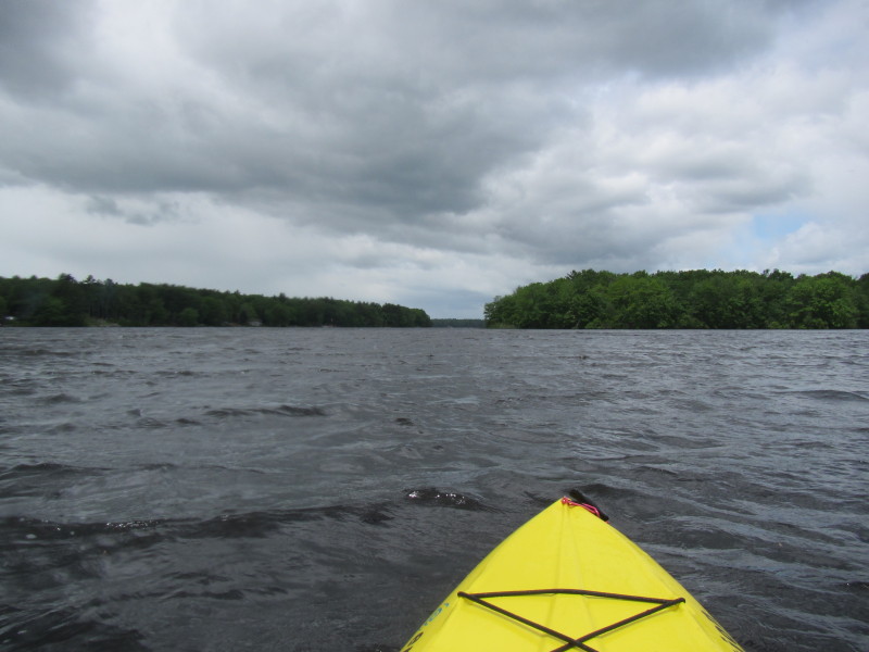
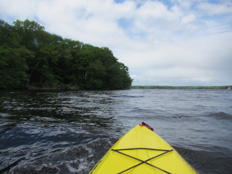
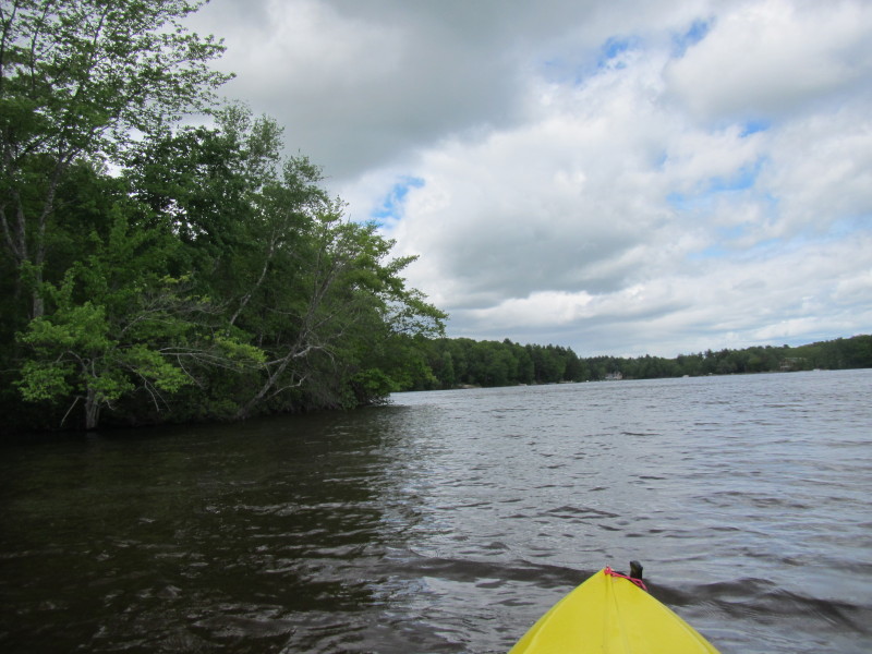
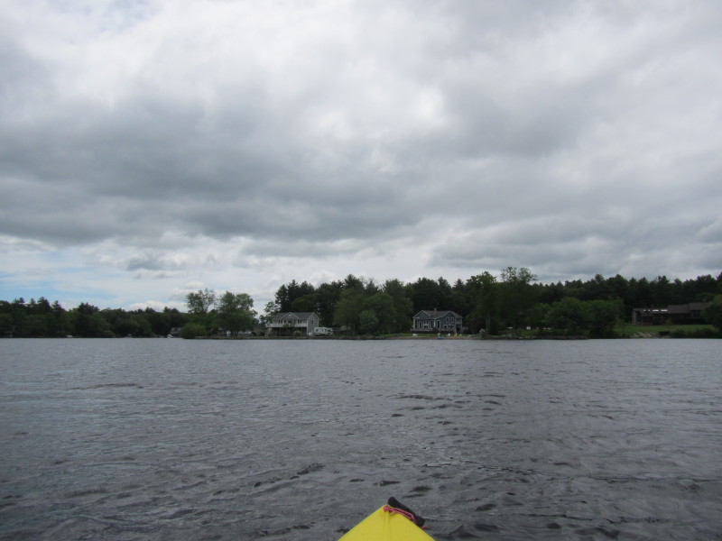 The first cove on my right which I will skip and paddle straight ahead.
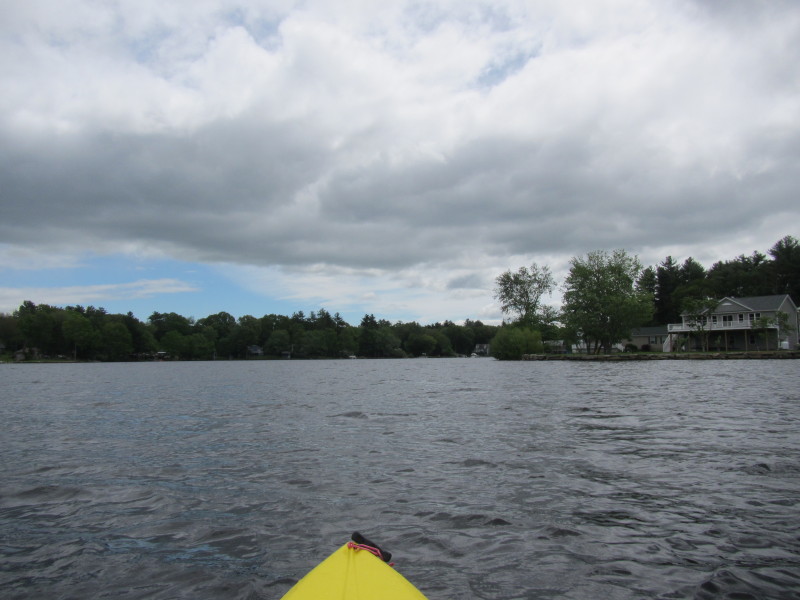
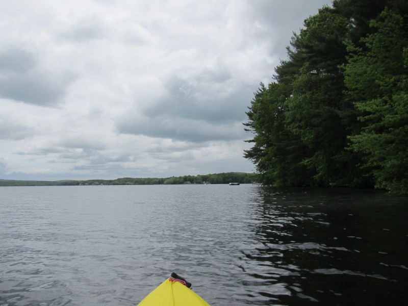
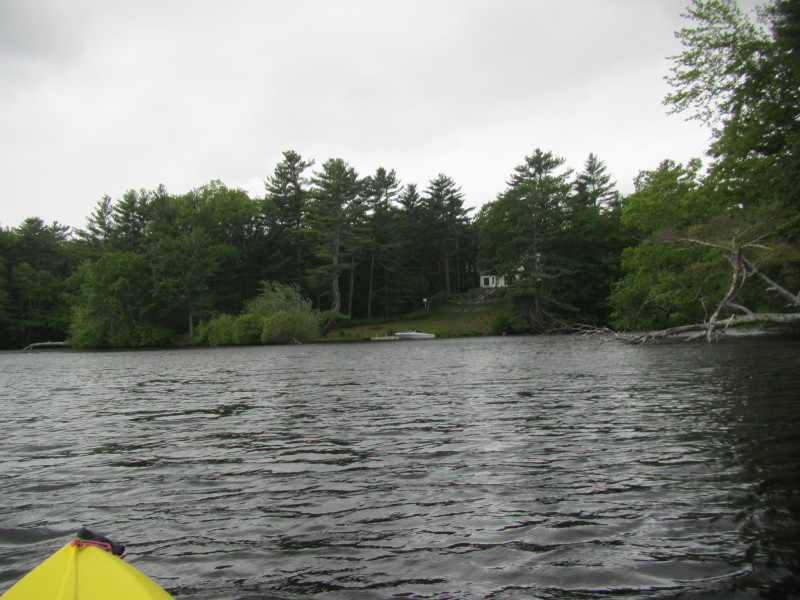
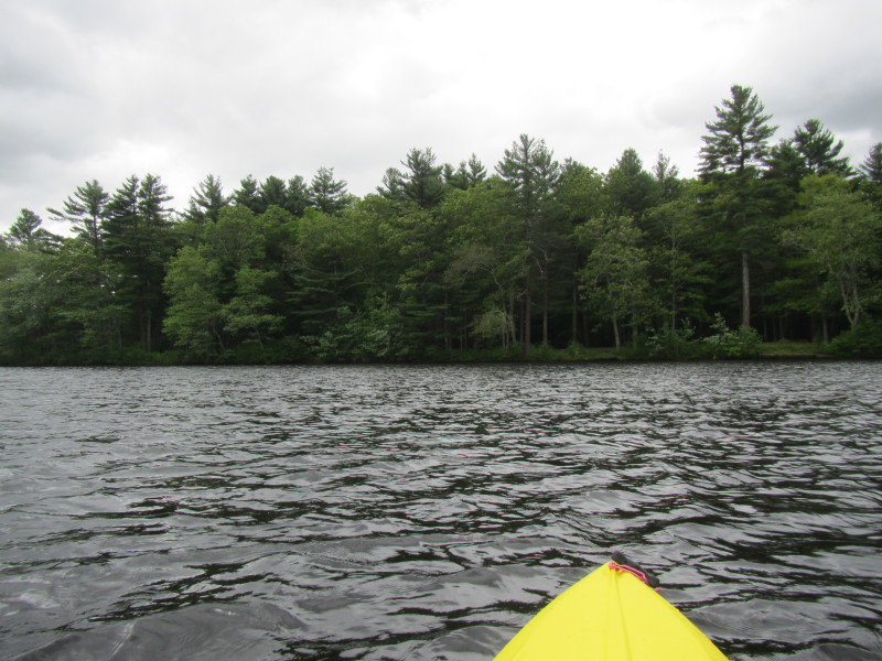
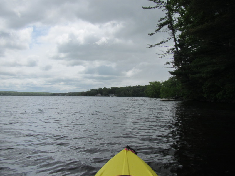
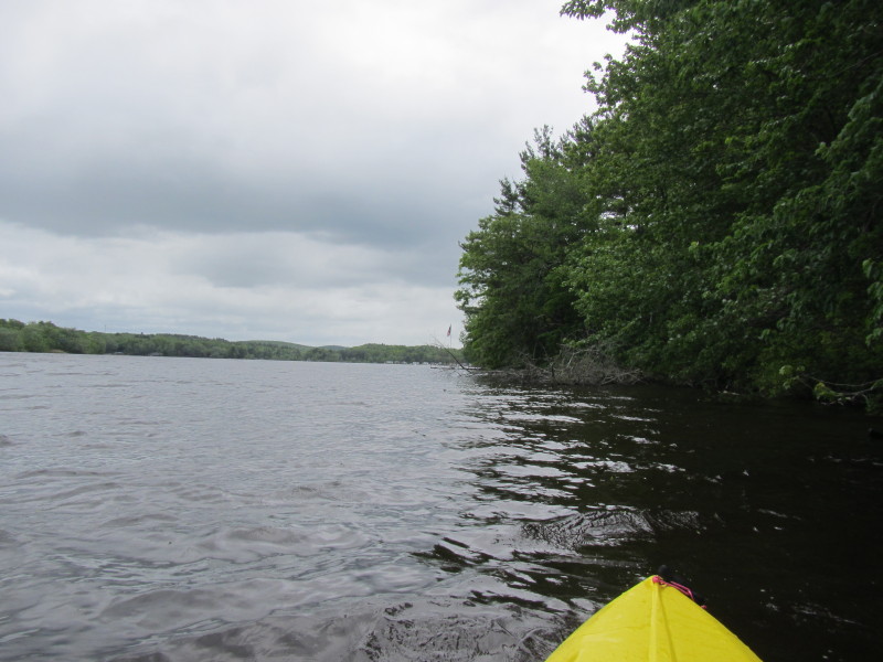
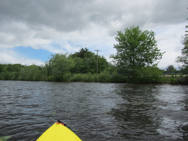
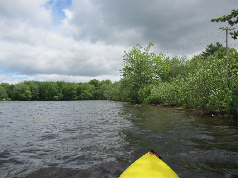
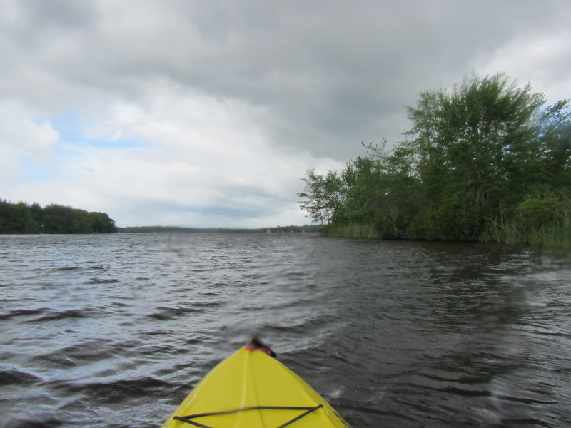
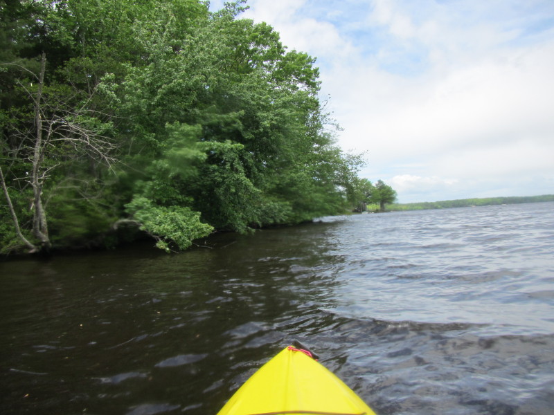
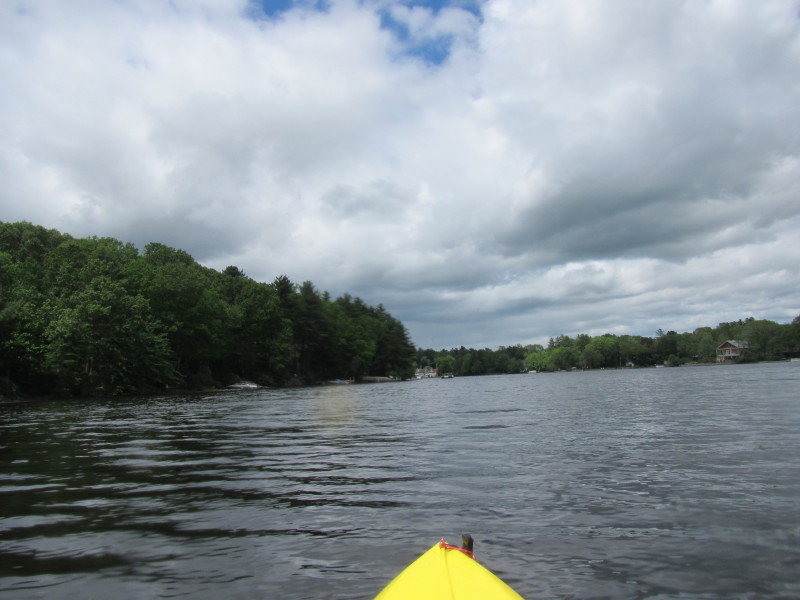
 Here is another cove on my right.
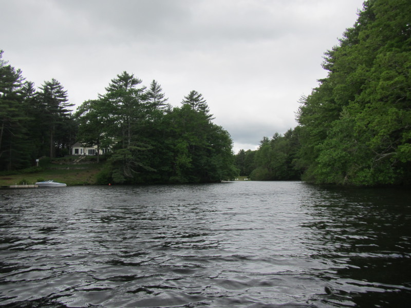
 "No Trespassing" signs.
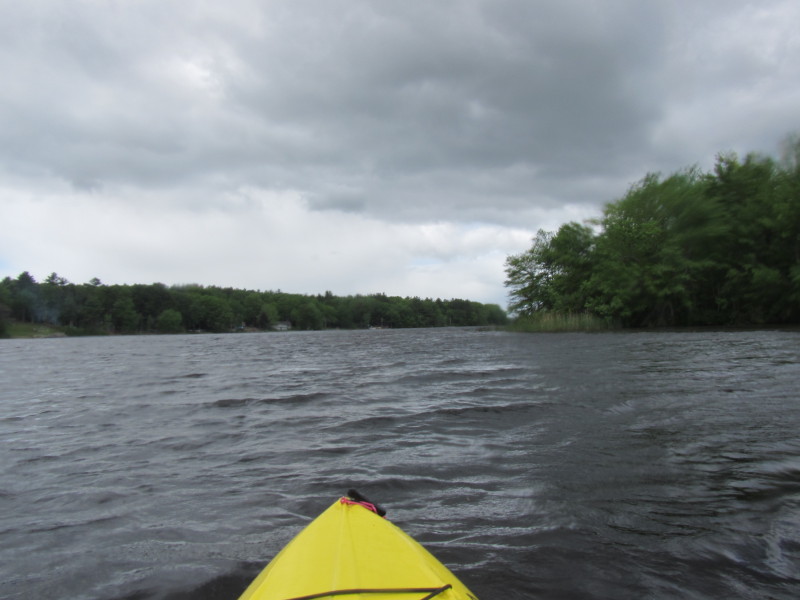
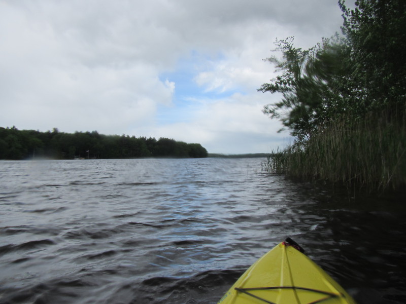
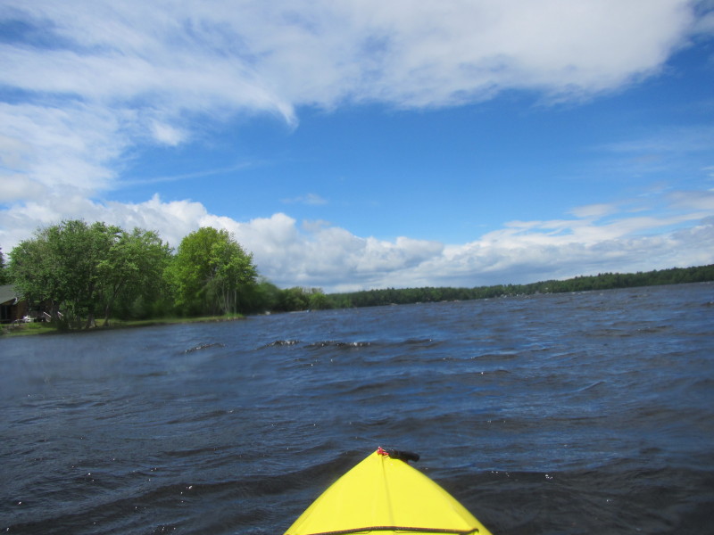
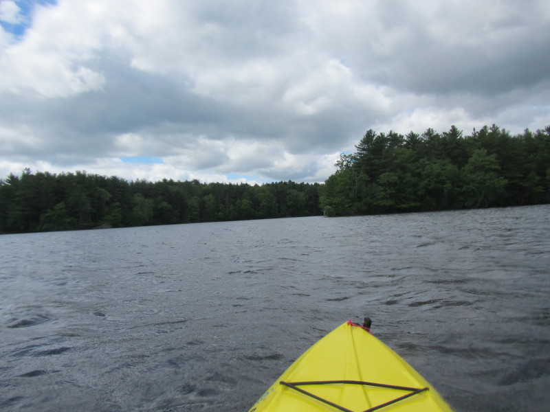
 Now its raining a bit.
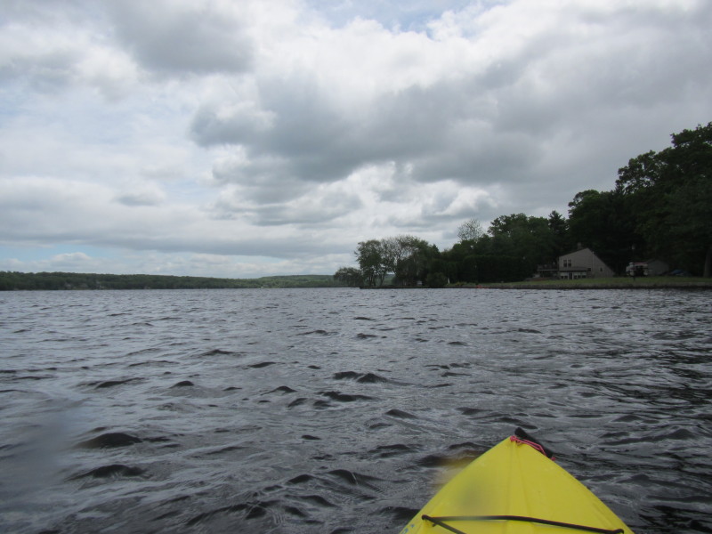
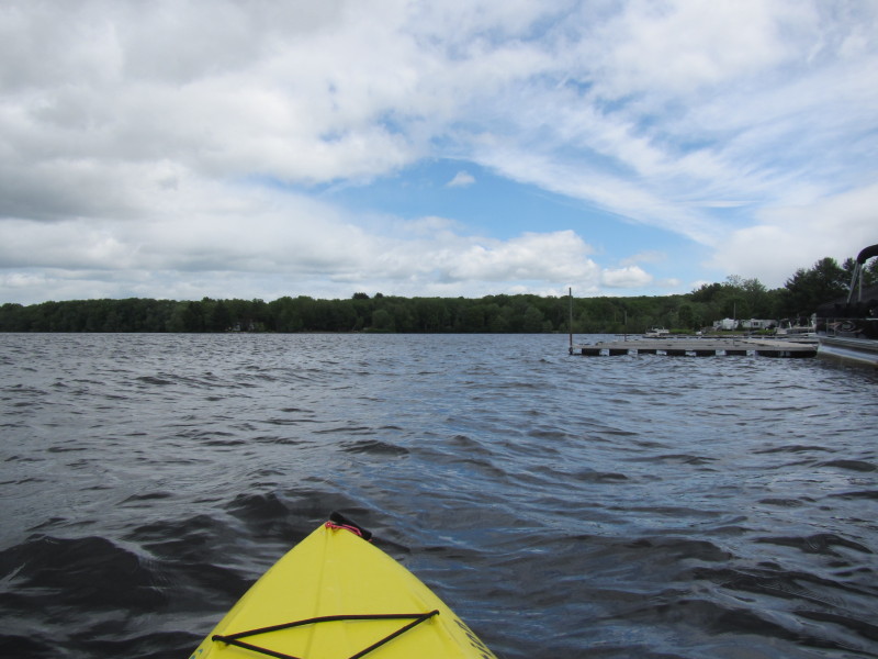
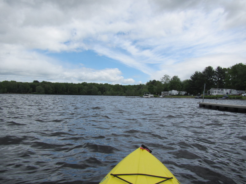
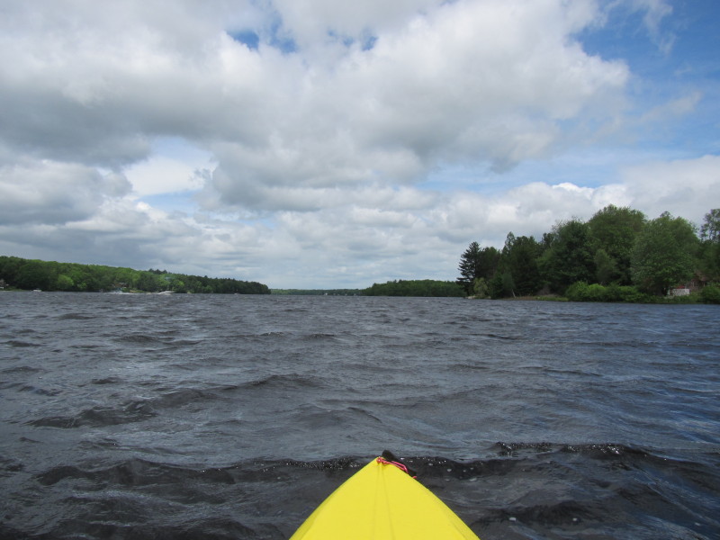
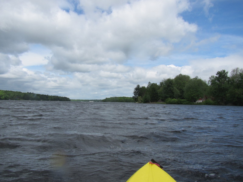
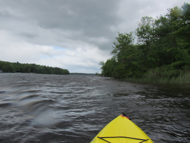
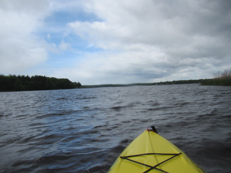
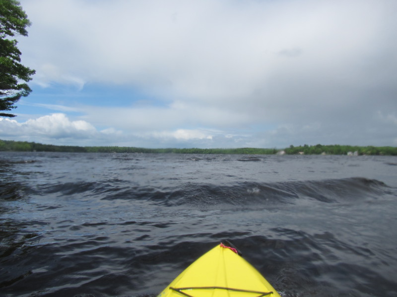
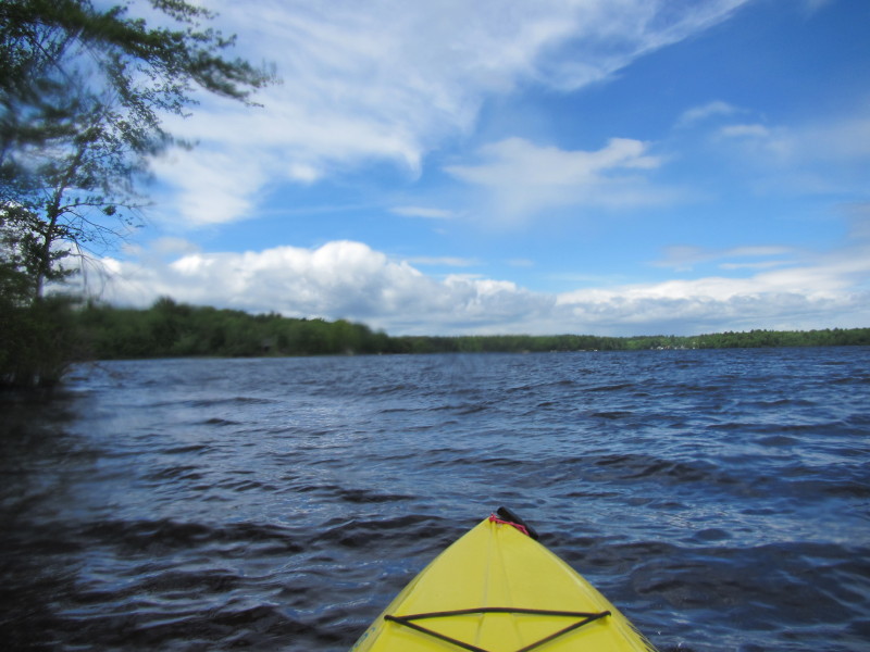
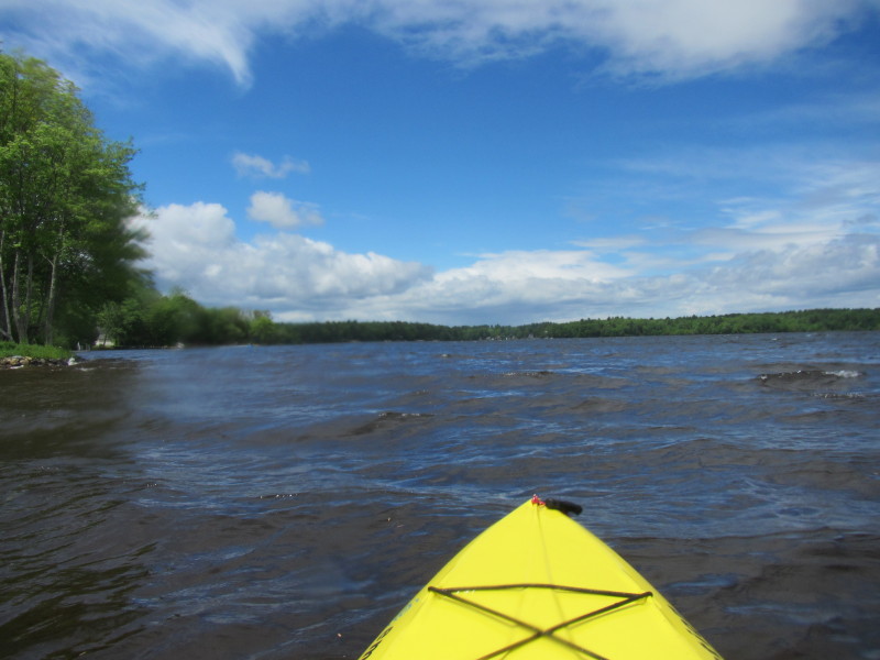
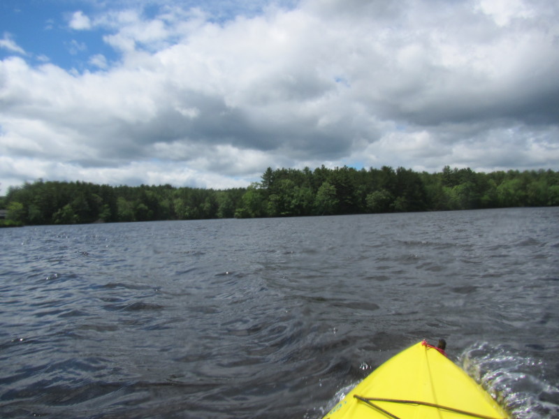
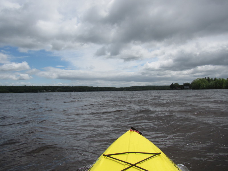 A bit wavy . . .
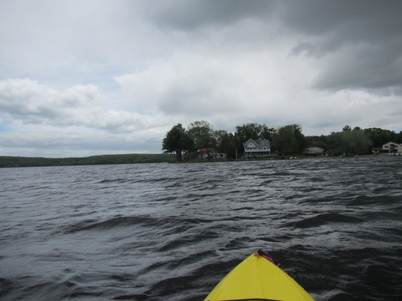
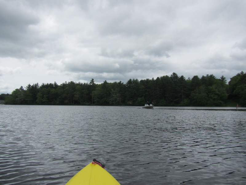
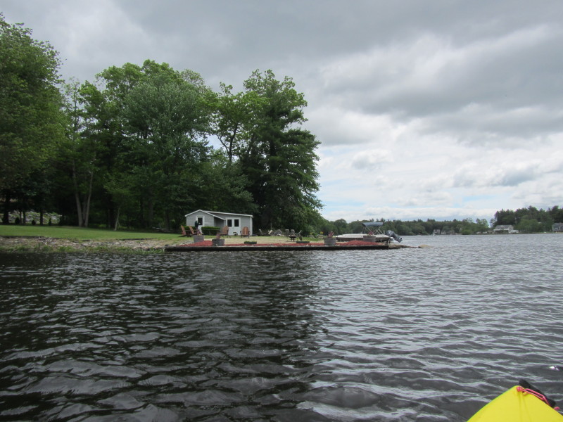
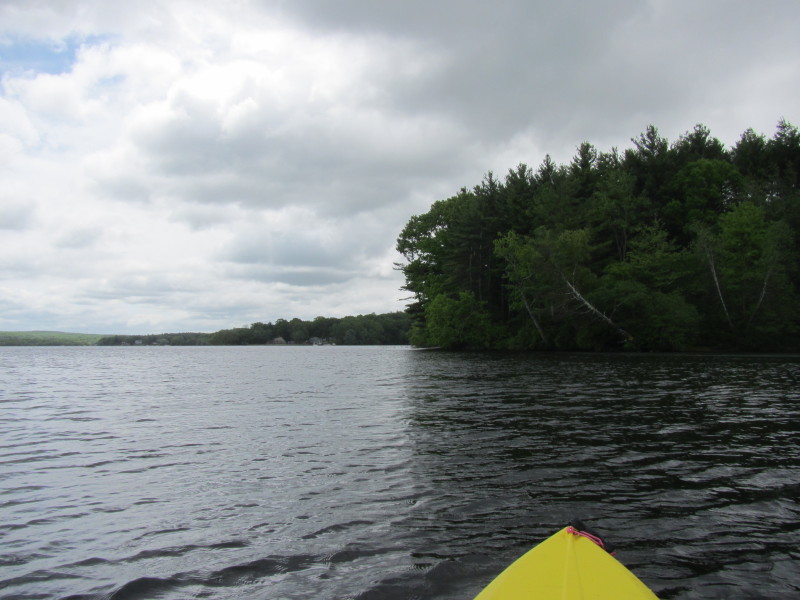
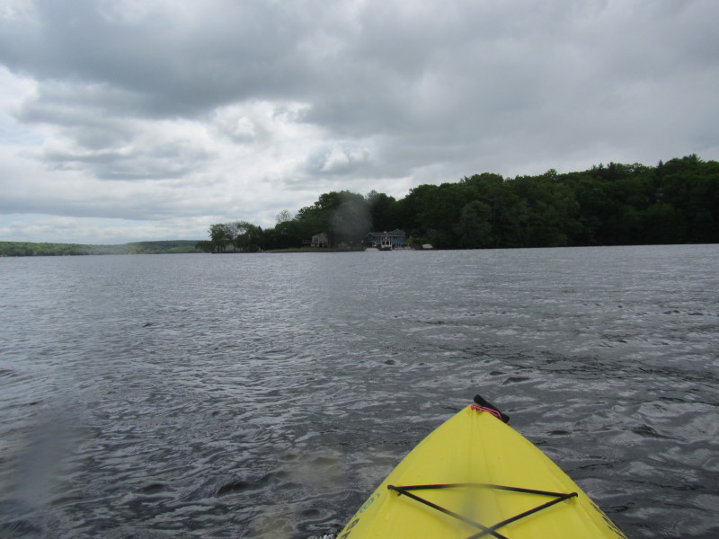
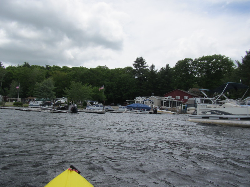
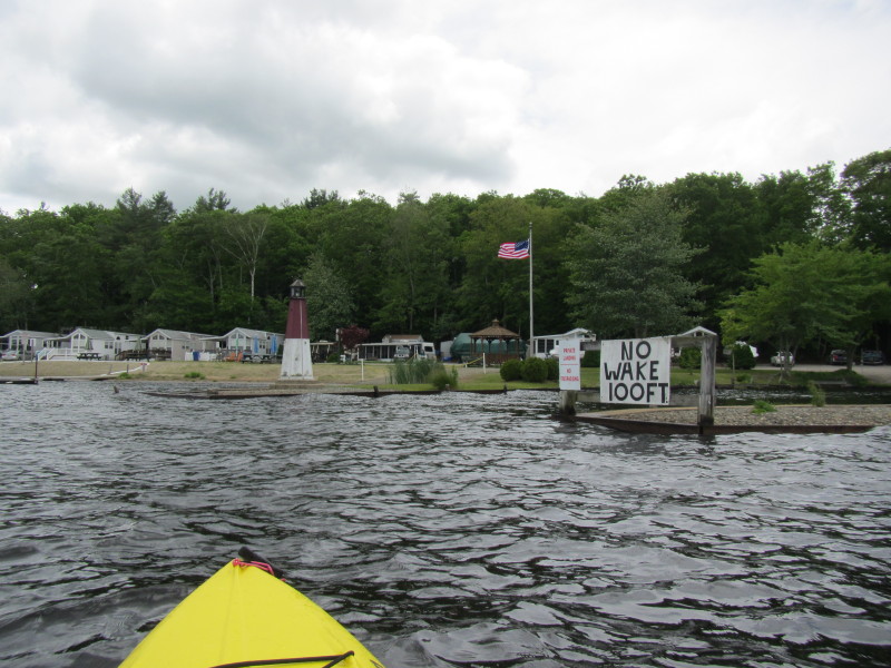
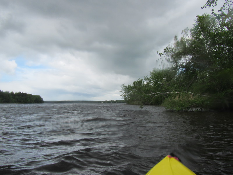
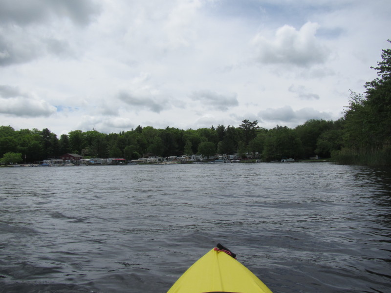 I can see the marina at the south end of Pachaug Pond.
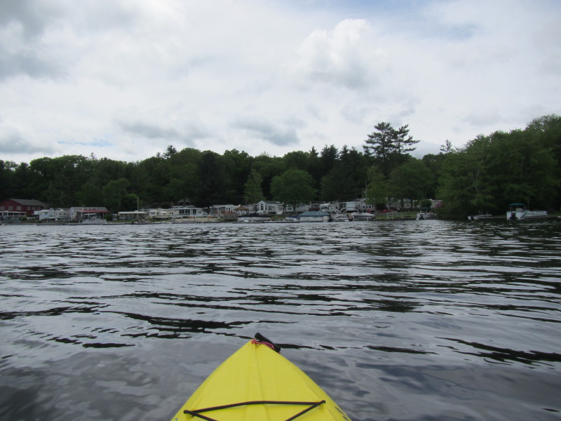

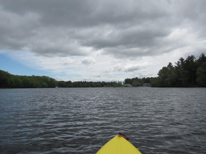
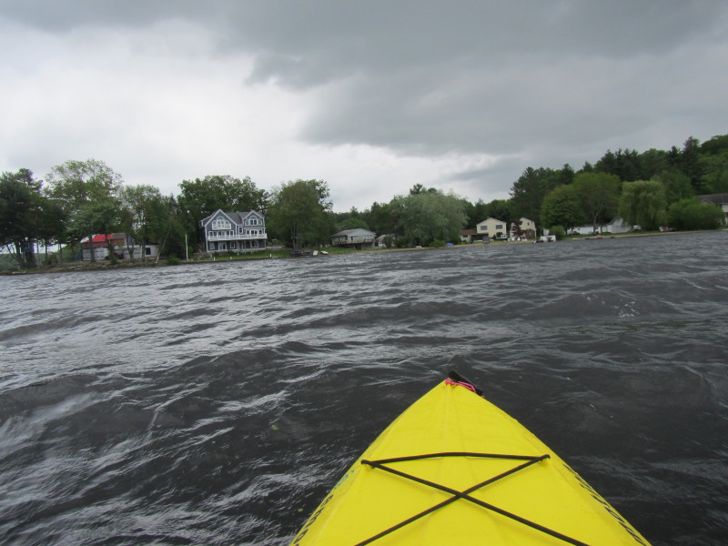
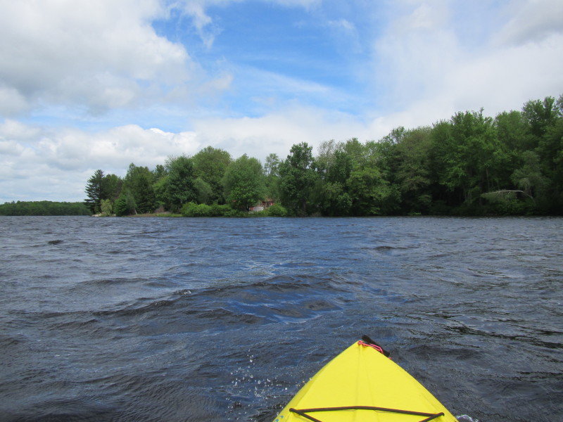
 Now facing east and along the southern coast of Pachaug Pond.
 Route 165 in front of me.
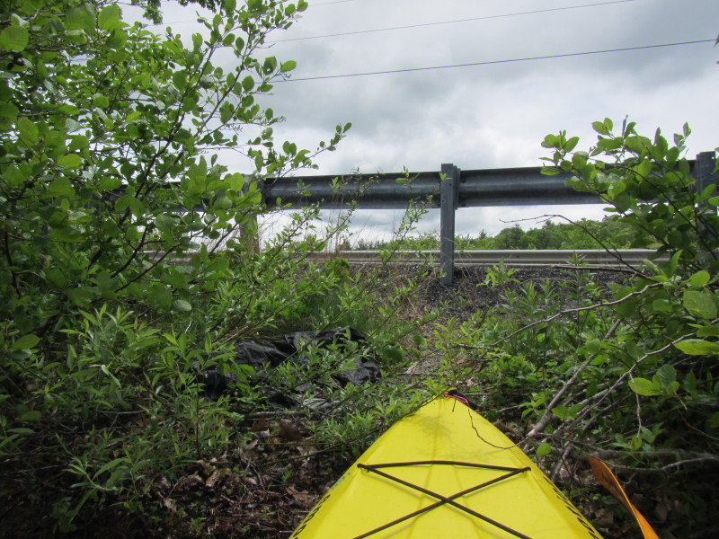 I landed on a small open spot on Route 165.
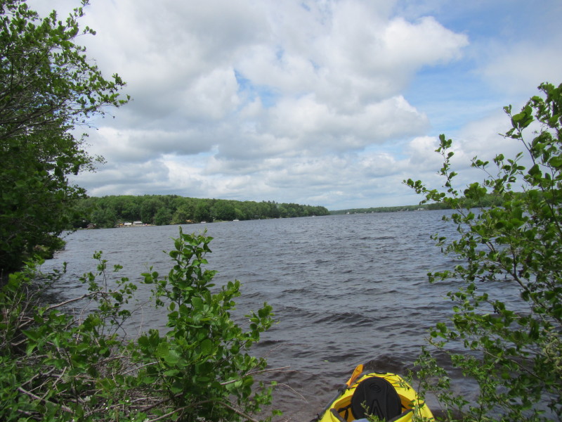 Pachaug Pond viewed from Route 165.
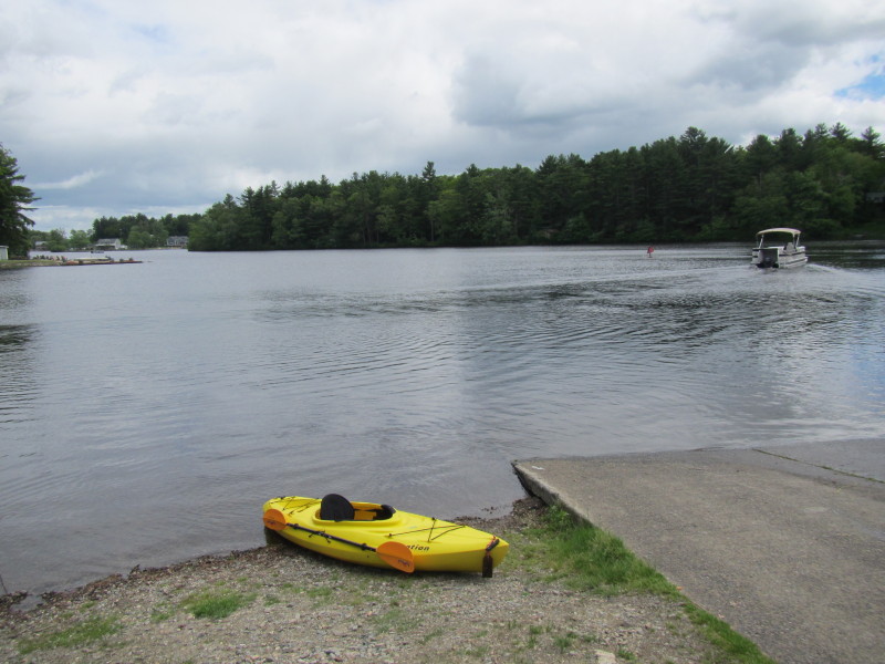
 Back to the water.
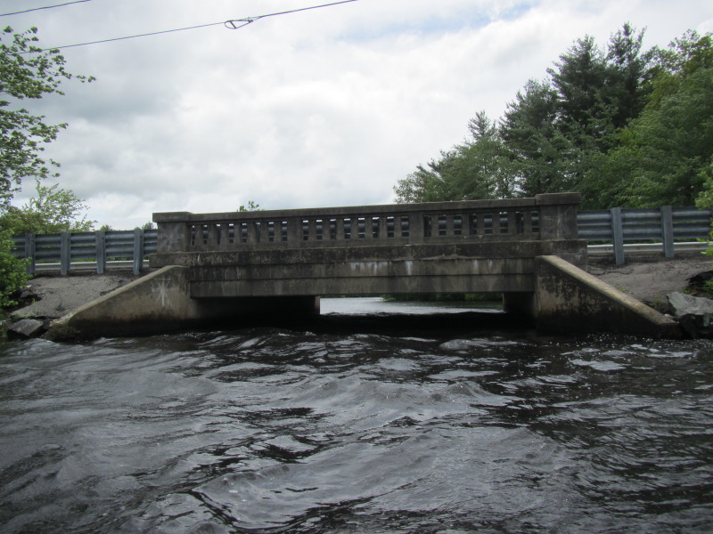 Route 165 bridge over Pachaug Pond. The clearance is too low for me to go under.
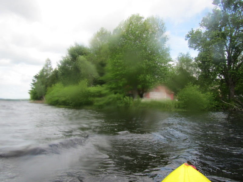 Dream-like. My camera got wet.

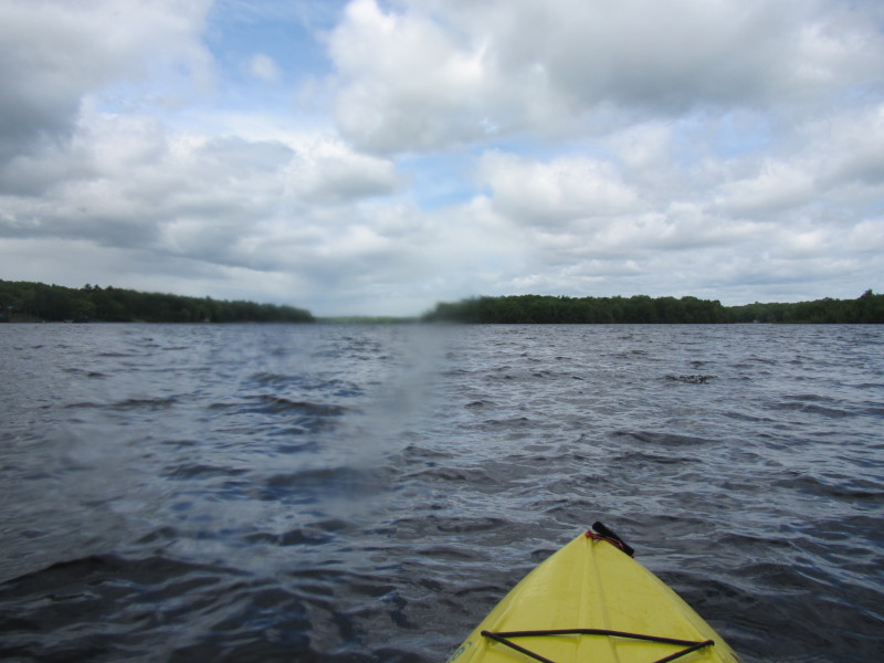
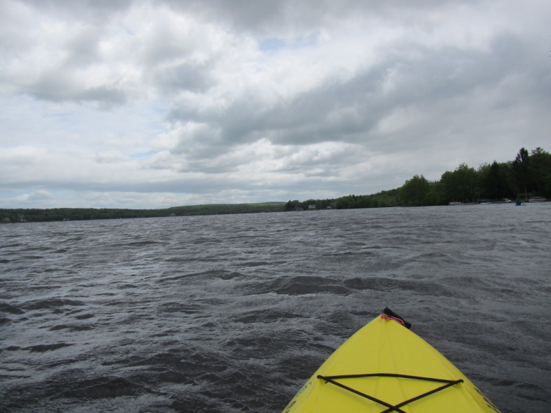
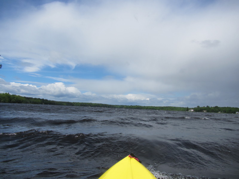
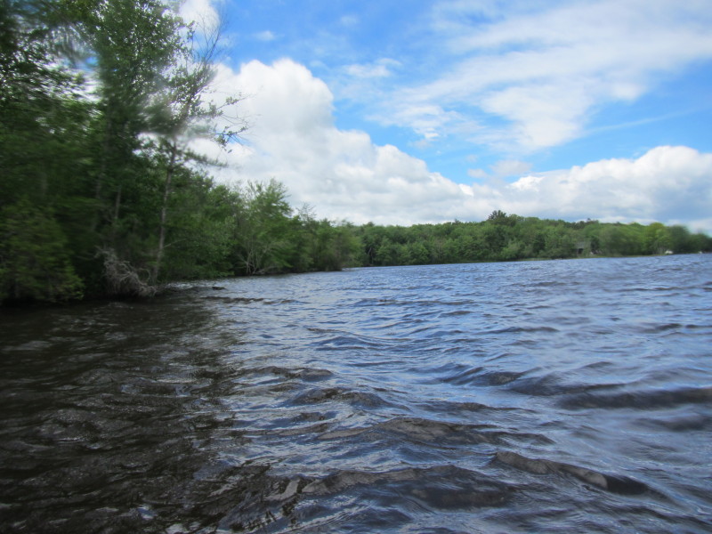
 The winds are getting strong and my hands are cold wet.
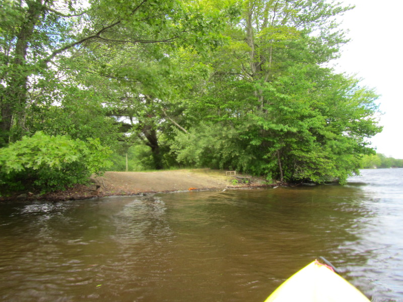
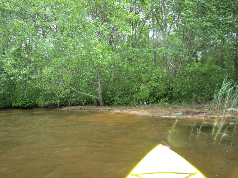 This is too nice a beach not to land on.
 Decided to have my lunch on this beach and hope the winds fade out a bit . . .
 Back on the water. Was originally planning to hug the eastern coast all around,
but the strong winds and wavy conditions made me dash to the west side and take
a short cut back to the ramp.
Back on the water. Was originally planning to hug the eastern coast all around,
but the strong winds and wavy conditions made me dash to the west side and take
a short cut back to the ramp.
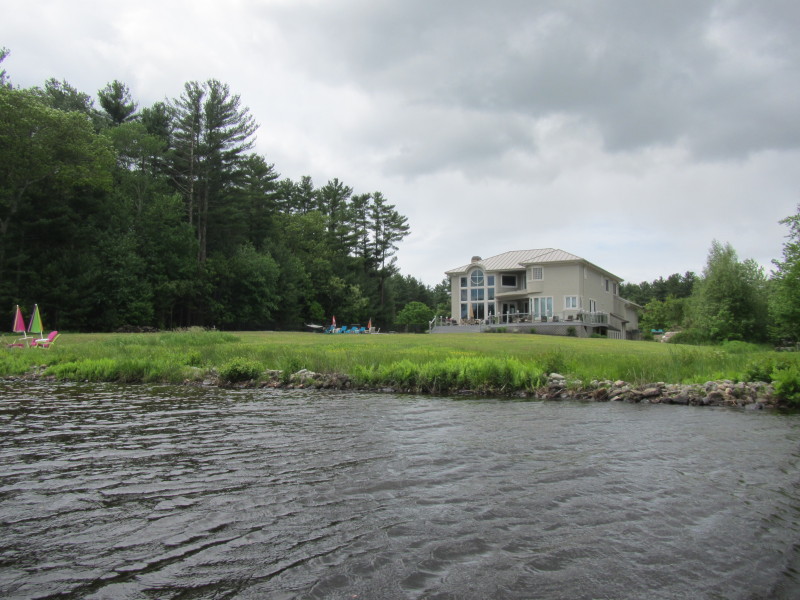
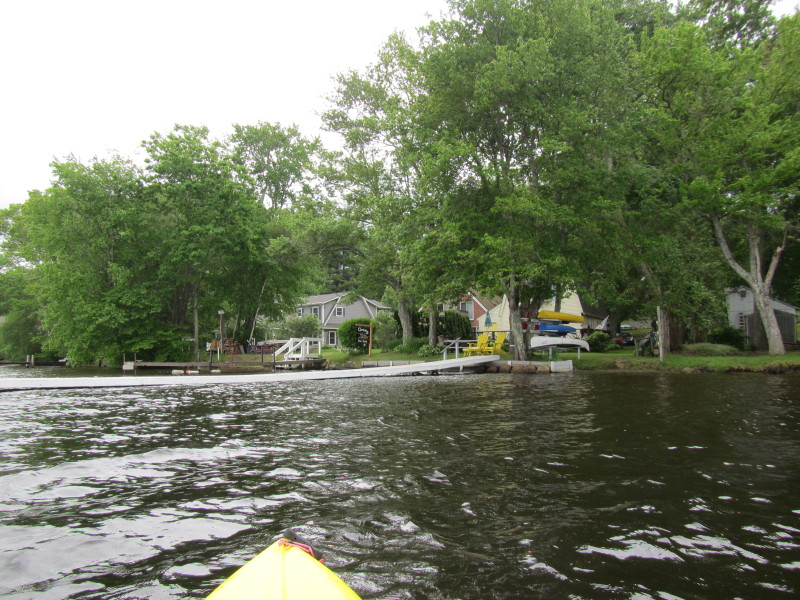
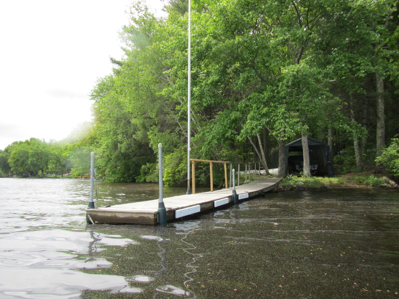
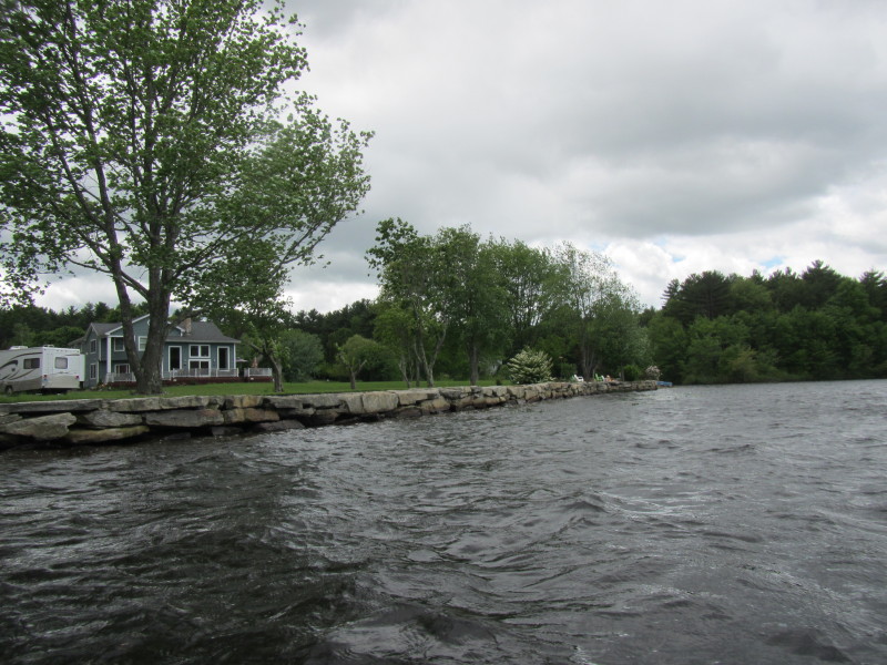
 This looks like a public area with picnic tables but not sure.
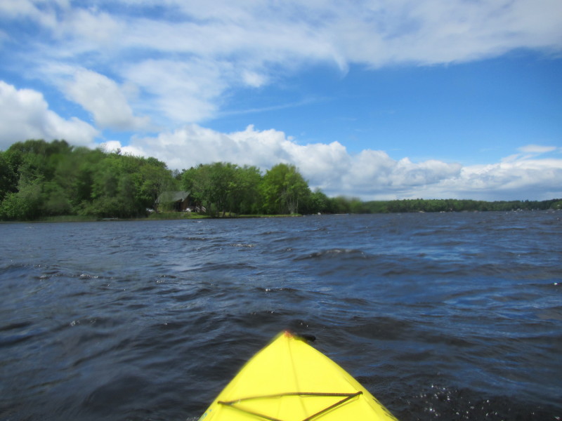
 My kayak is bouncing on the water.
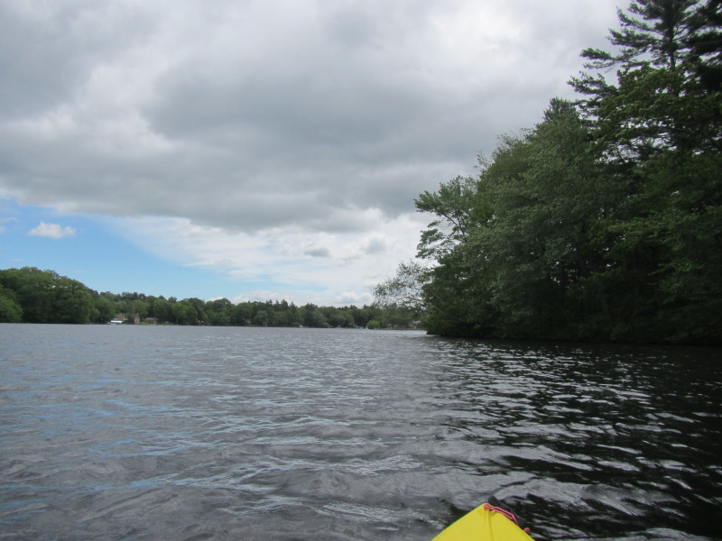
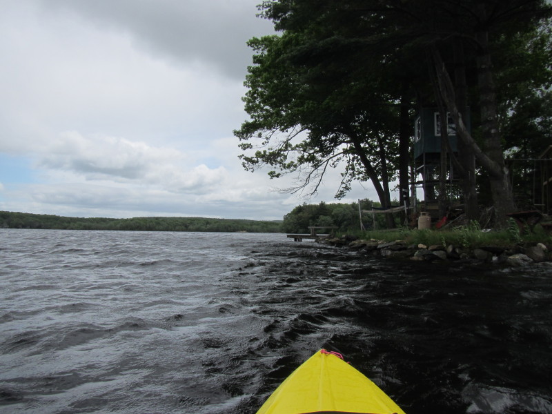
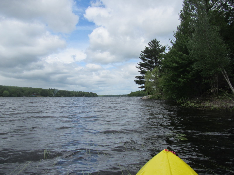
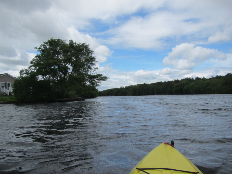
 On my left is a cove. I will paddle ahead and then veer right on that coast.
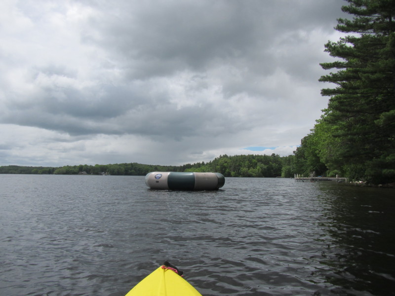
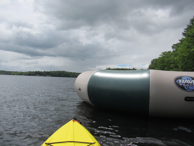
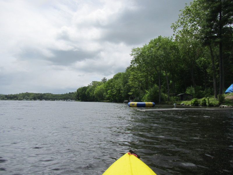
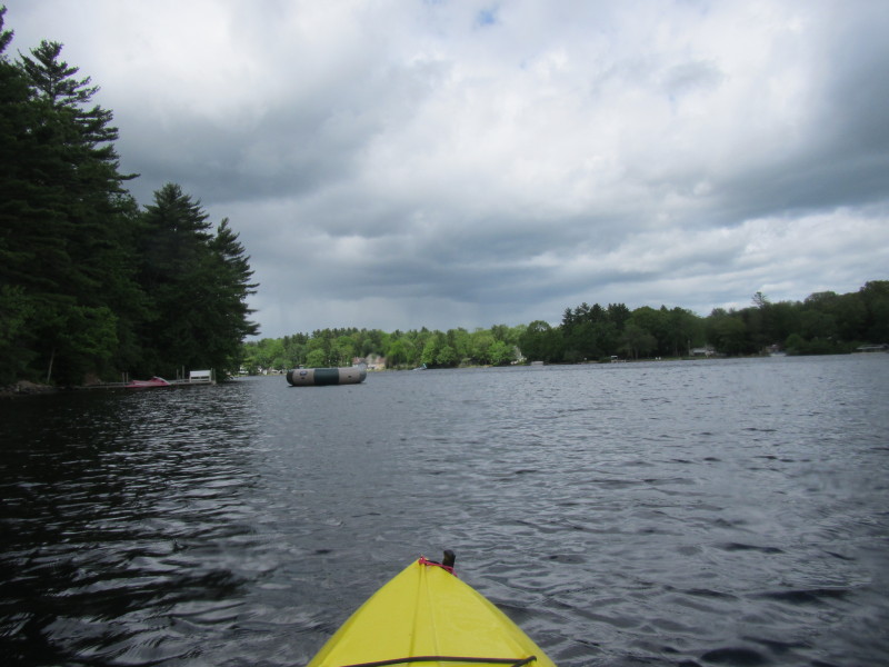 Ok I remember this floating trampoline.
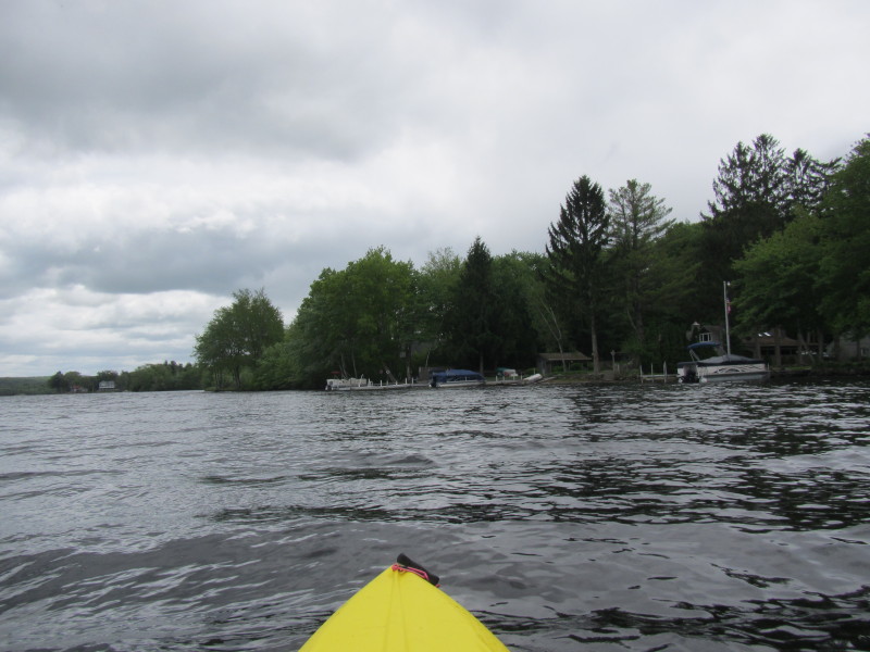
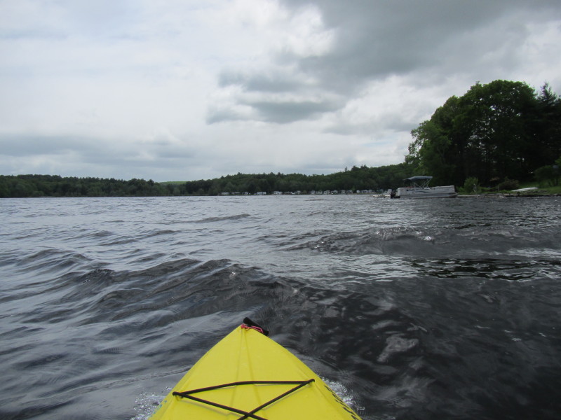
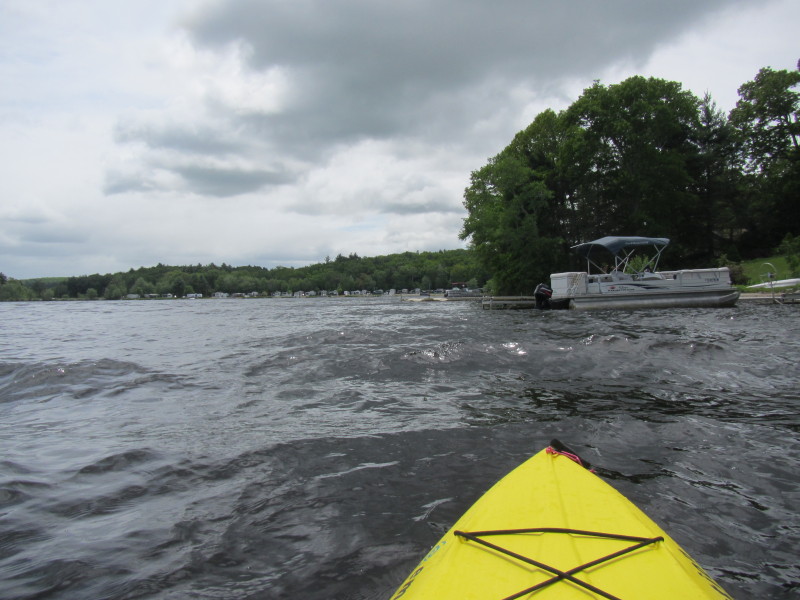
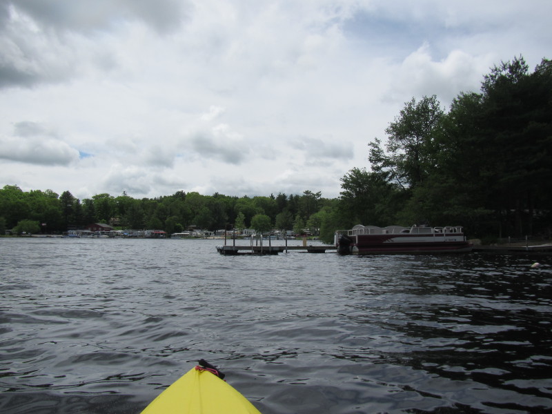
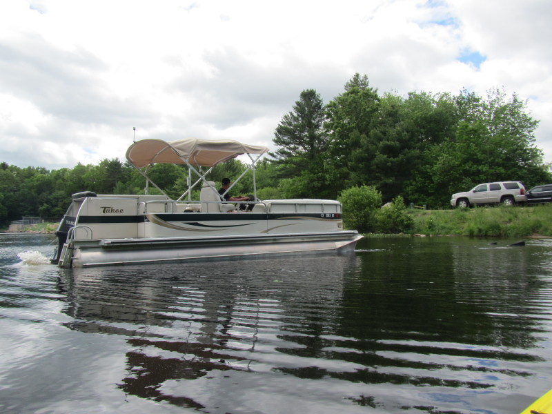
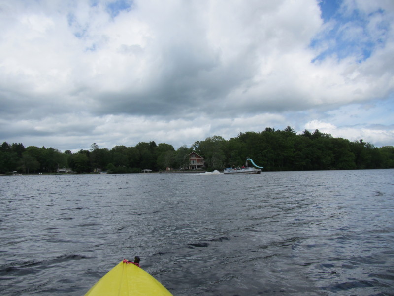 A pontoon boat on Pachaug Pond.
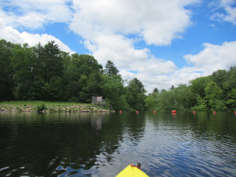
 The dam wall is now in sight.
 Pachaug Pond Dam.
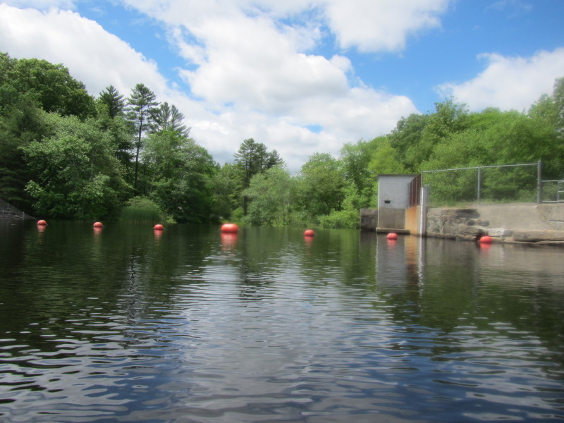

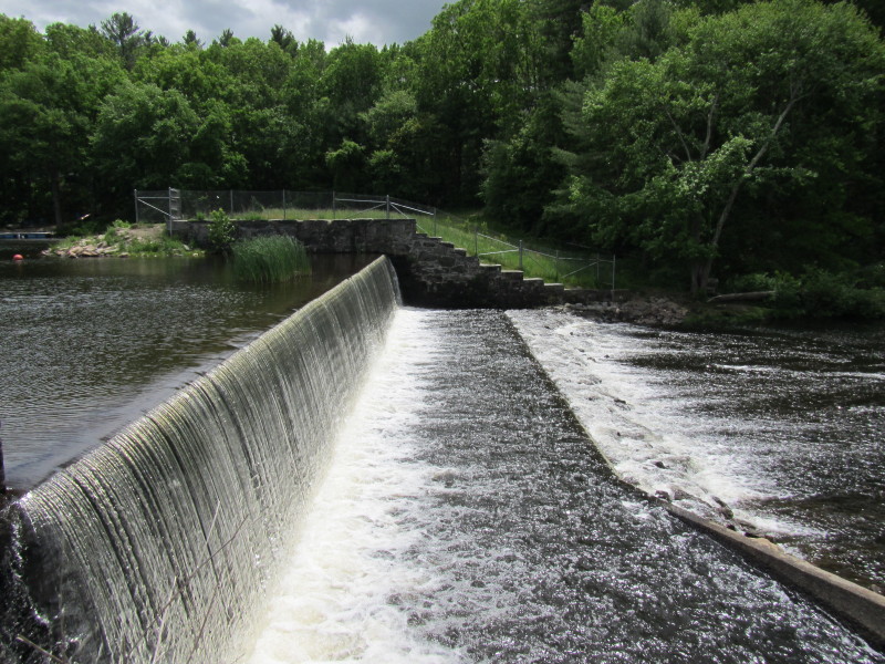 Pachaug Pond Dam.
|