 Kayaker

|


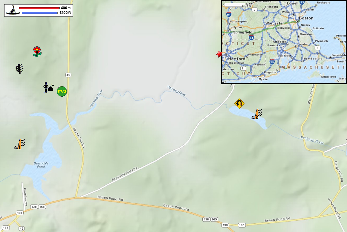


|
Download printer-friendly
PDF version that fits in one page: |

|
|
Other resources:
CT Govt: Pachaug State Forest (will open in new window) CT Govt: Pachaug State Forest Map - Chapman Area CT Govt: Pachaug State Forest Map - Chapman Area (cached copy) CT Govt: Pachaug State Forest Map - Green Falls Area CT Govt: Pachaug State Forest Map - Green Falls Area (cached copy) CT Govt: Connecticut Boater's Guide CT Govt: Connecticut Boater's Guide (cached copy) REI Guidepost: Pachaug River and Beachdale Pond Wikipedia: Pachaug River All photos in this website are original and copyrighted. 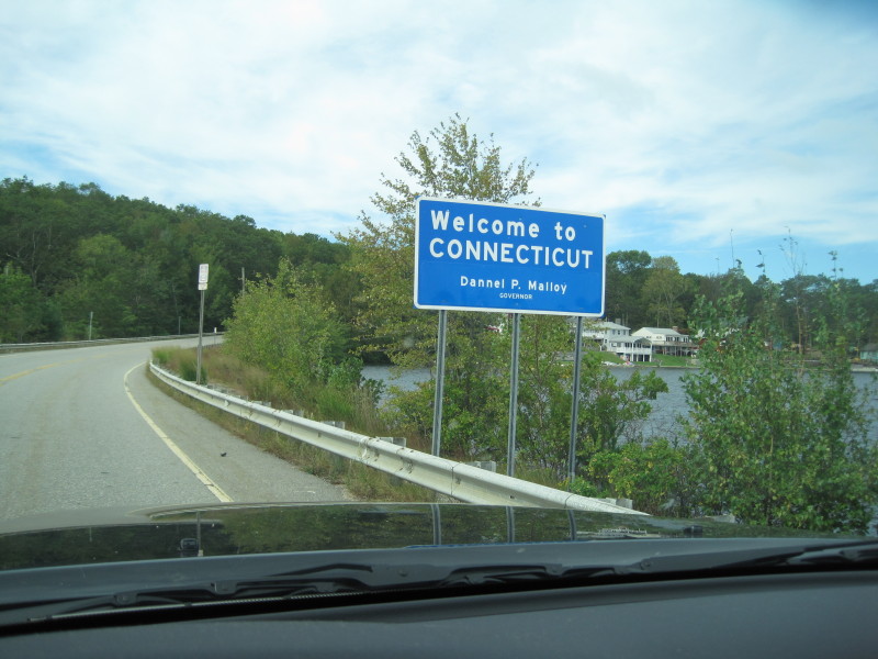 Crossing into Connecticut (from Rhode Island) over Beach Pond.
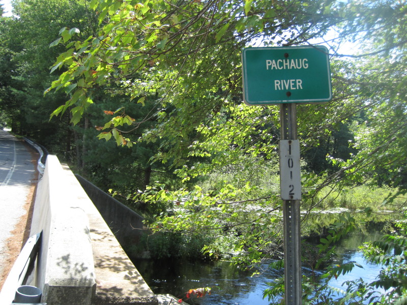 Bridge over Pachaug River on Ekonk Hill Road in Voluntown CT.
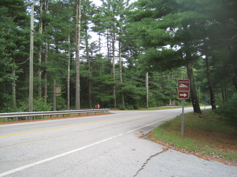 The Beachdale Pond boat ramp on Ekonk Hill Road in Voluntown CT.
Directly across the street from the river access is Pachaug Forest park office. 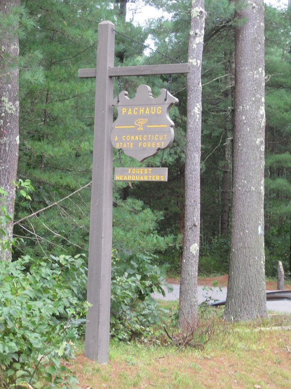
Sign reads: PACHAUG - A Connecticut State Forest Forest Headquarters 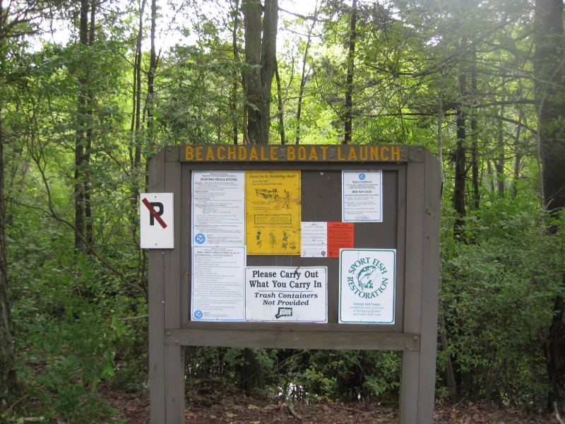
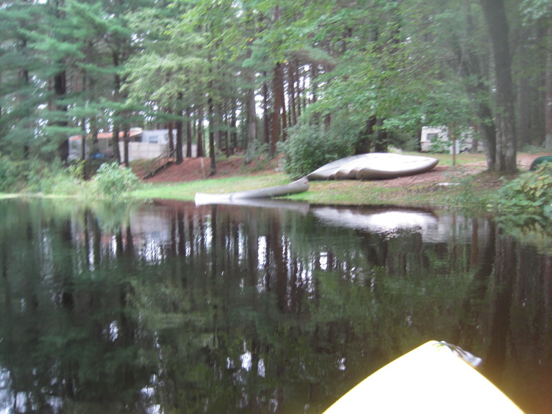
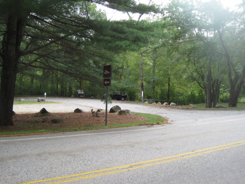 10+ cars can easily fit into this lot at the Beachdale Pond launch.
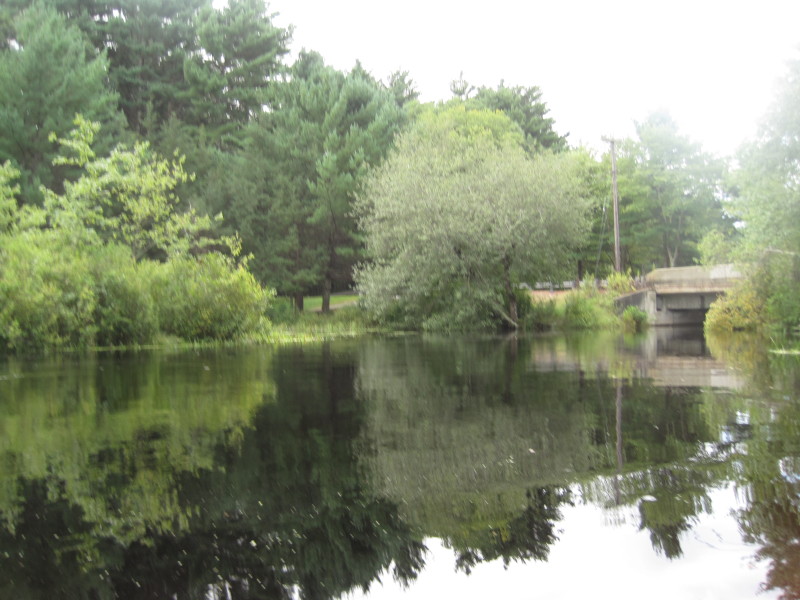 Looking downriver, the bridge.
I will be paddling upriver and that bridge will be my marker to exit before this bridge.
Looking downriver, the bridge.
I will be paddling upriver and that bridge will be my marker to exit before this bridge.
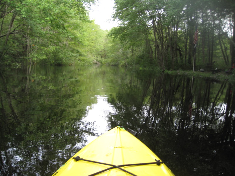
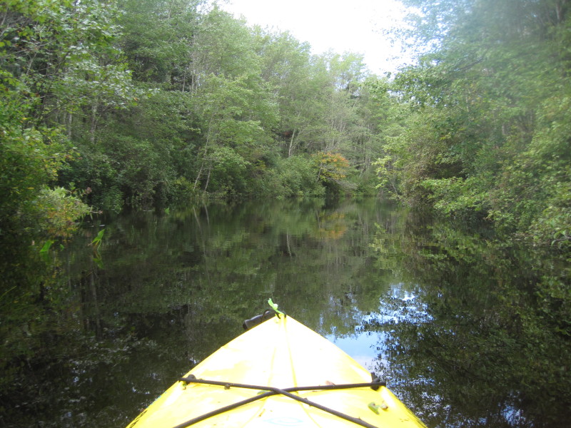
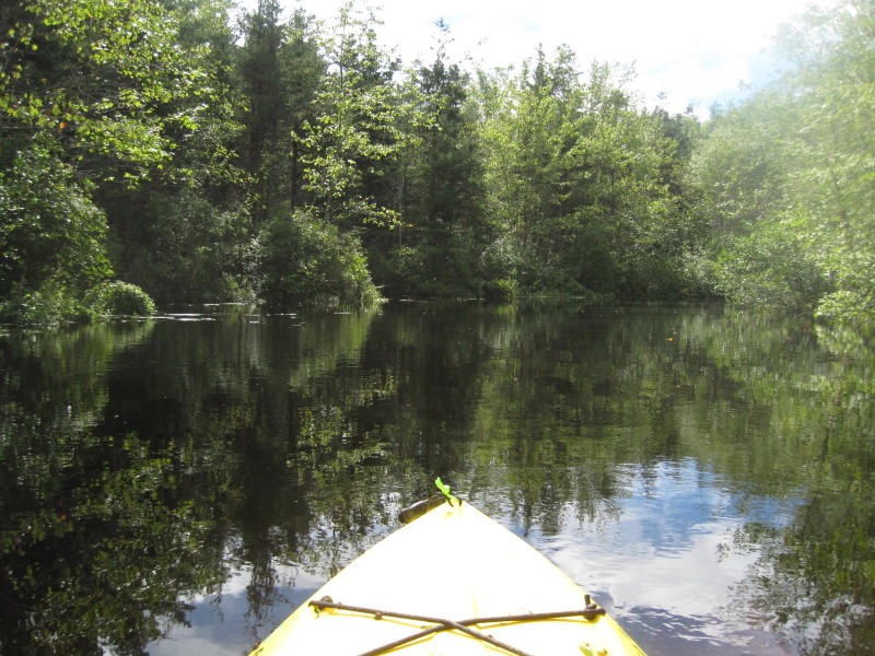
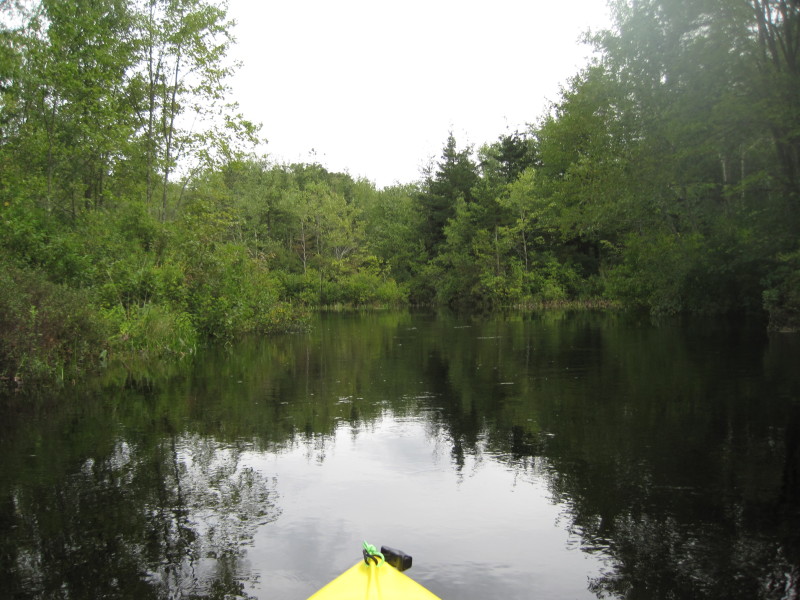 Just launched and turned left upriver.
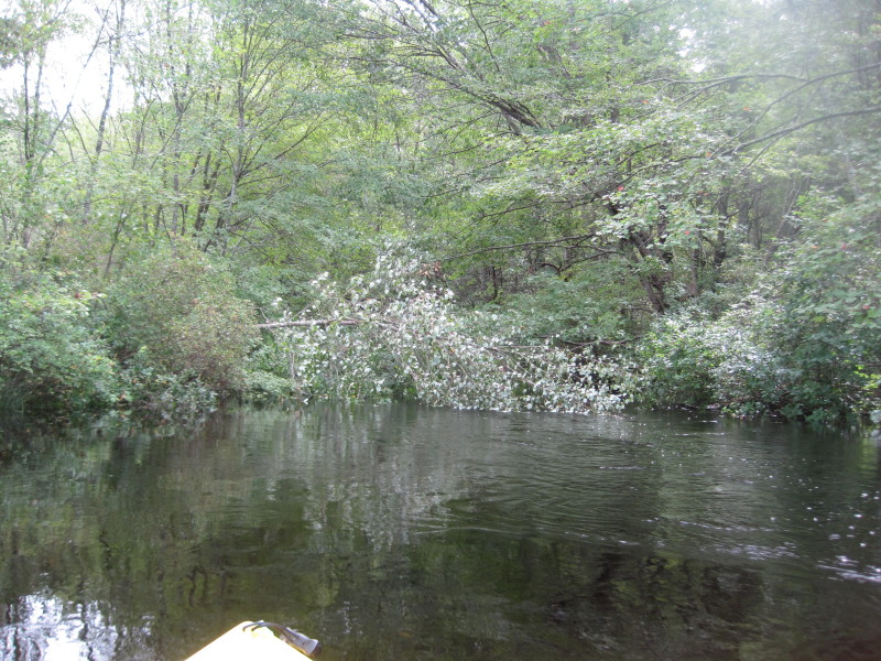
 Red berries.
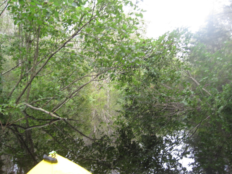
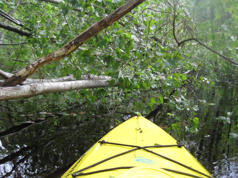
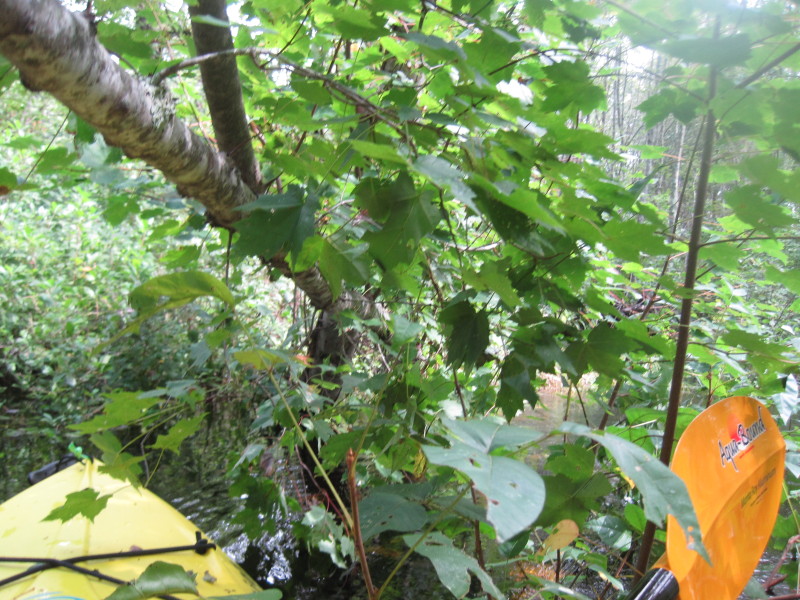
 This one should be easy to go thru . . .
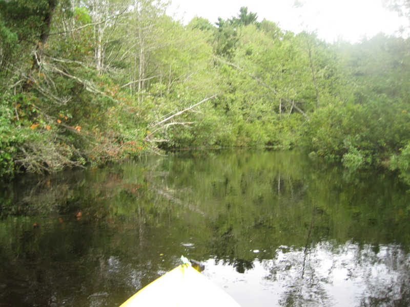
 Campsites and RV park.
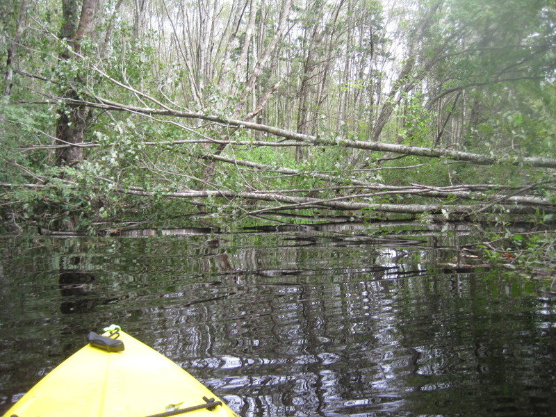
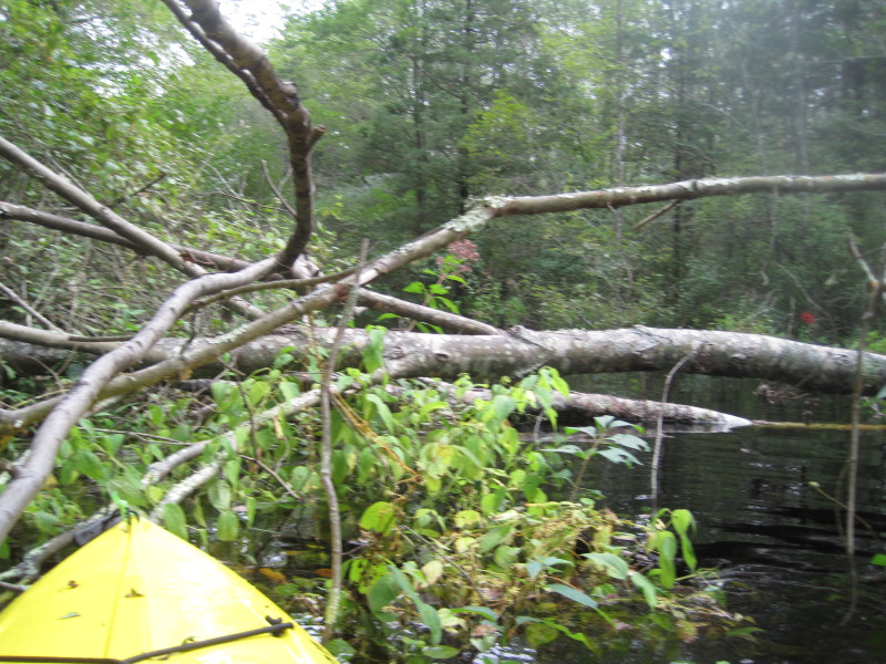
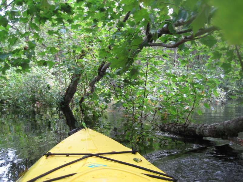
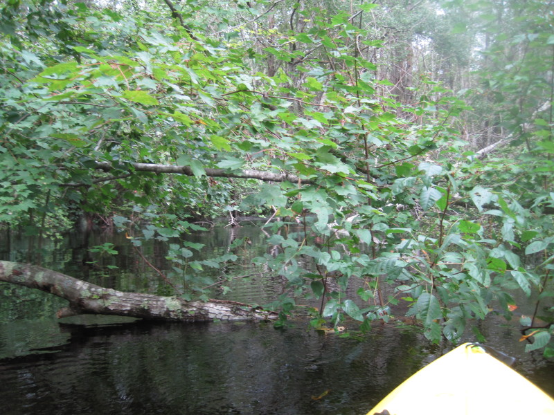 Another fallen tree blocking the whole span of Pachaug River.
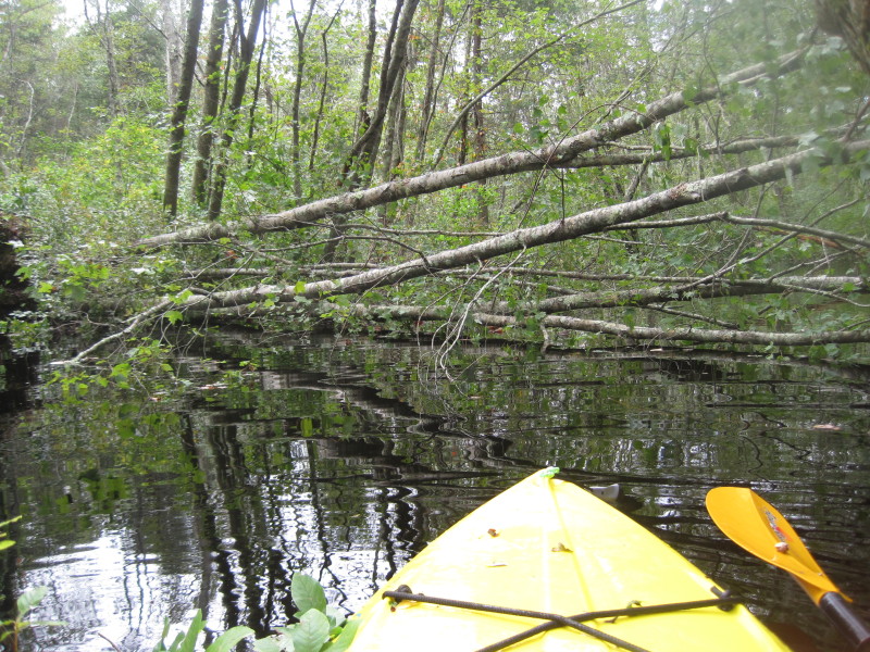
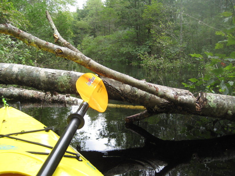
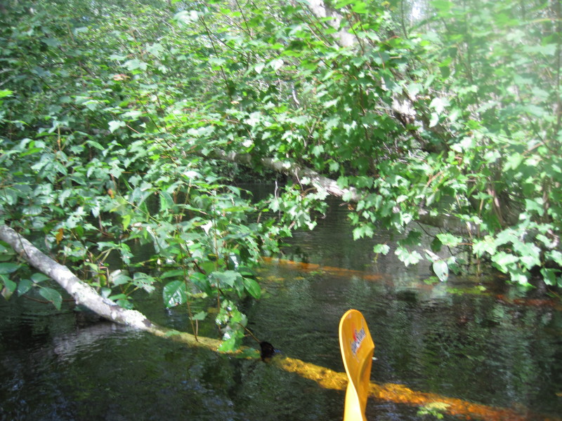
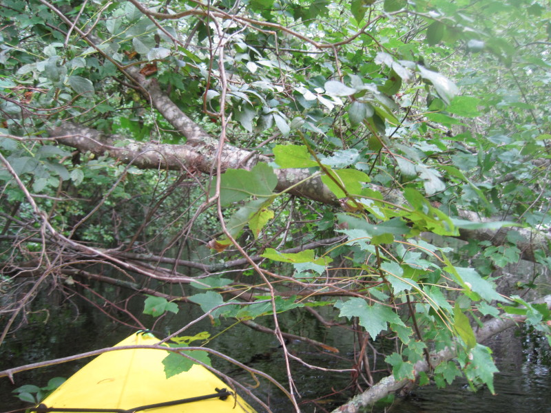 Thinking thinking how I can go thru.
I went thru sideways parallel to the tree almost. 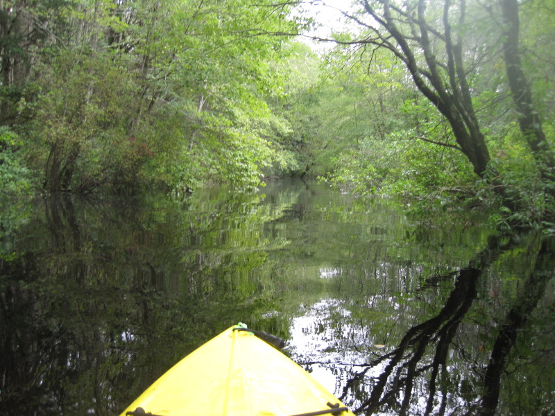
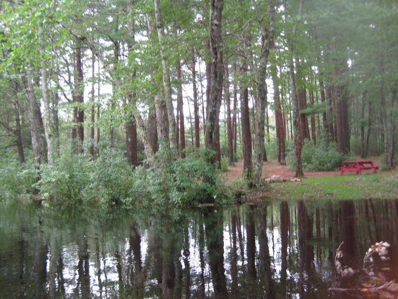 A rest area with picnic tables.
 Hurricane Irene from 2 weeks earlier must have caused all these newly fallen trees.
 This looks like a problem. The tree blocking the whole river.
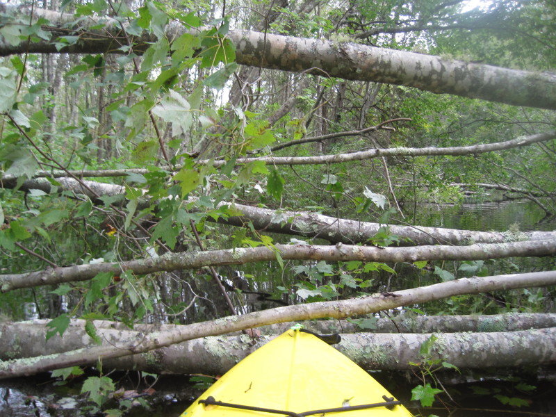 No way I can get thru this tree. :(
I poked thru the side of the main flow of the river and managed to get around this one.
No way I can get thru this tree. :(
I poked thru the side of the main flow of the river and managed to get around this one.
 Just got passed that tree. Whew! I am good.
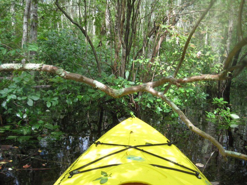
 Not 20 feet from that fallen tree in the previous pictures and there is this another obstacle!
 Someone has tried to hack on this tree!
I decided at this point not to push my luck too far and turned around to start my return journey. 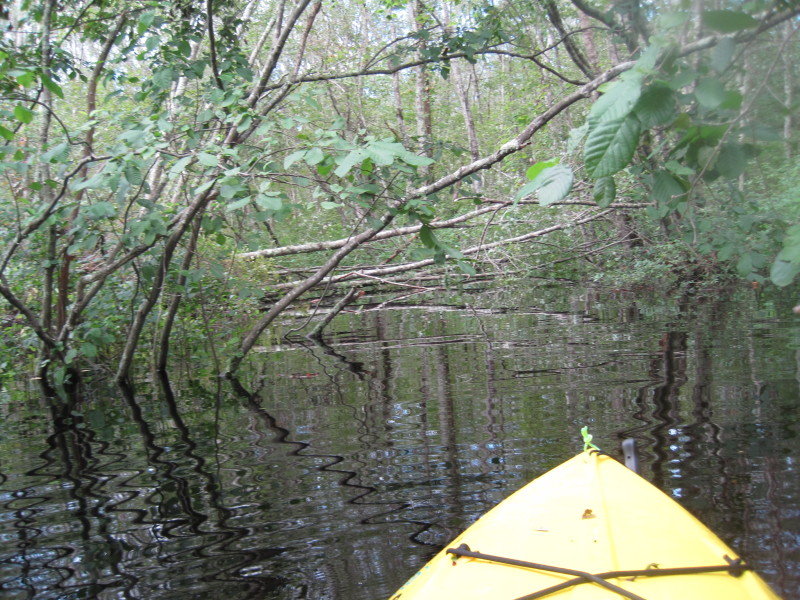 Paddling back, there is that same tree that I have to paddle around to the side.
 Going around the tree via the flooded bushes by the side of the river.
 Now re-entering the Pachaug River from the flooded side.
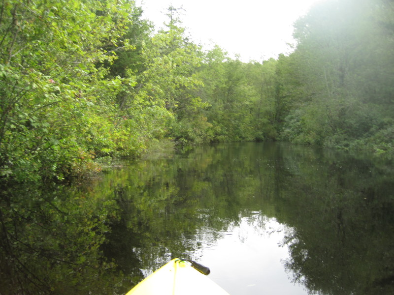
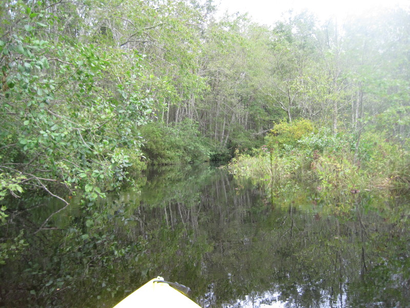
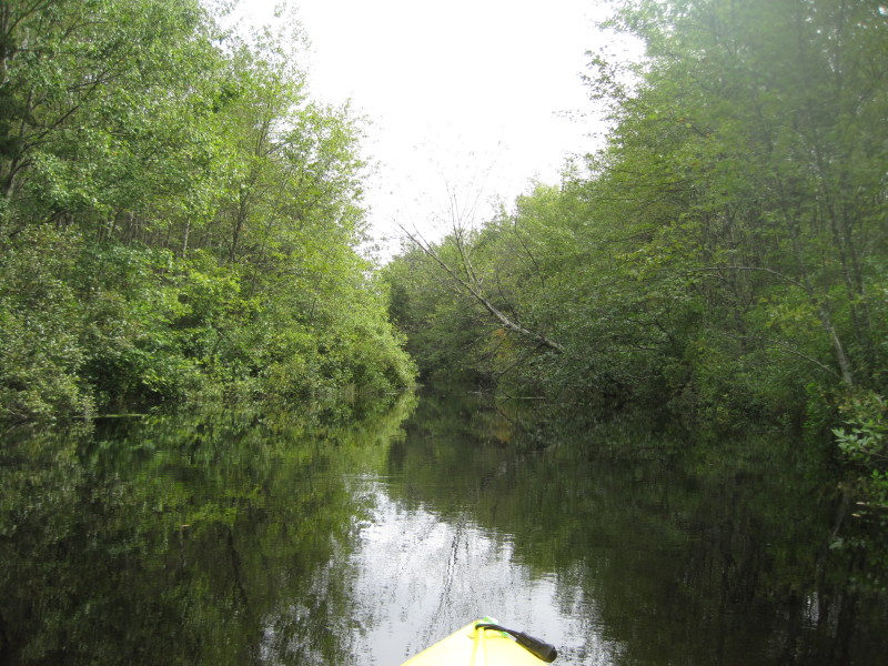
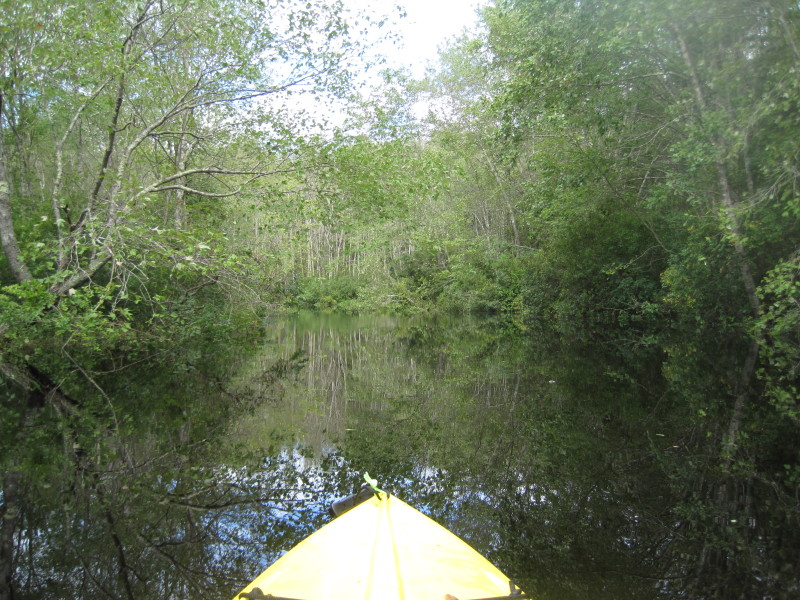
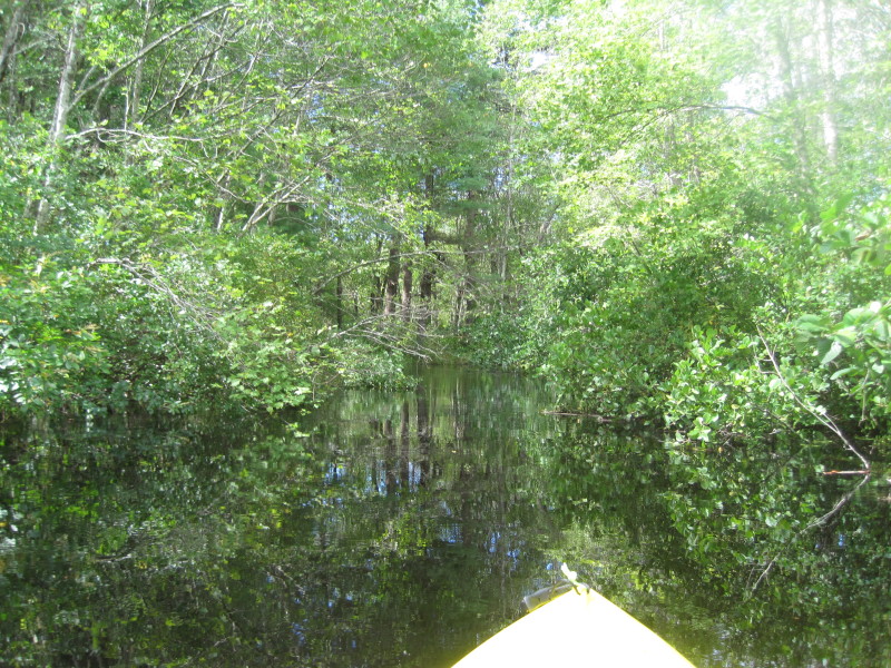
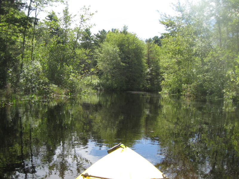
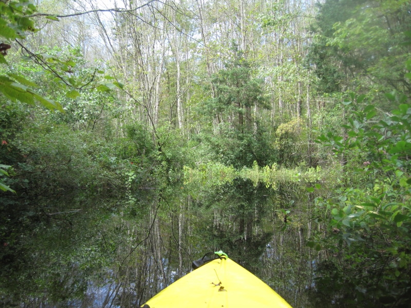 And then I am back to this nice long unobstructed stretch of the Pachaug River.
 Ok have to go thru this tree again sideways.
 Yeah, that's where i went thru. Into the tree sideways.
 I have been on the water for about two and a half hours. Another 10-15 minutes.
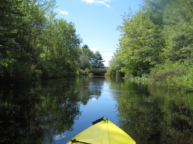 There is my bridge marker. Take out is on right before the bridge.
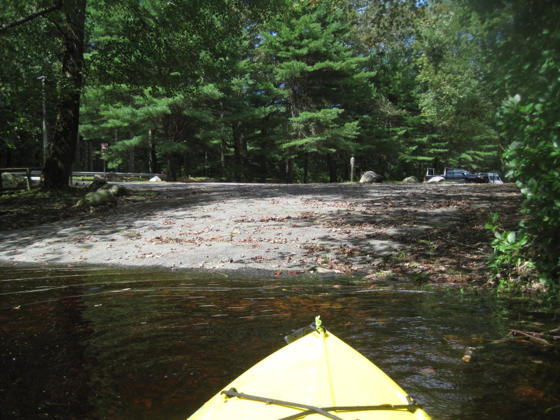 Back safely to where I started.
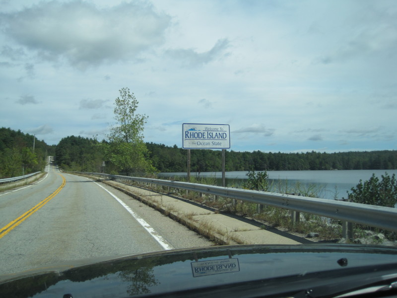 Welcome to Rhode Island (from Connecticut)
|