 Kayaker

| |||||||||||||||||||||||


|
Download printer-friendly
PDF version that fits in one page: |

|
|
Other resources:
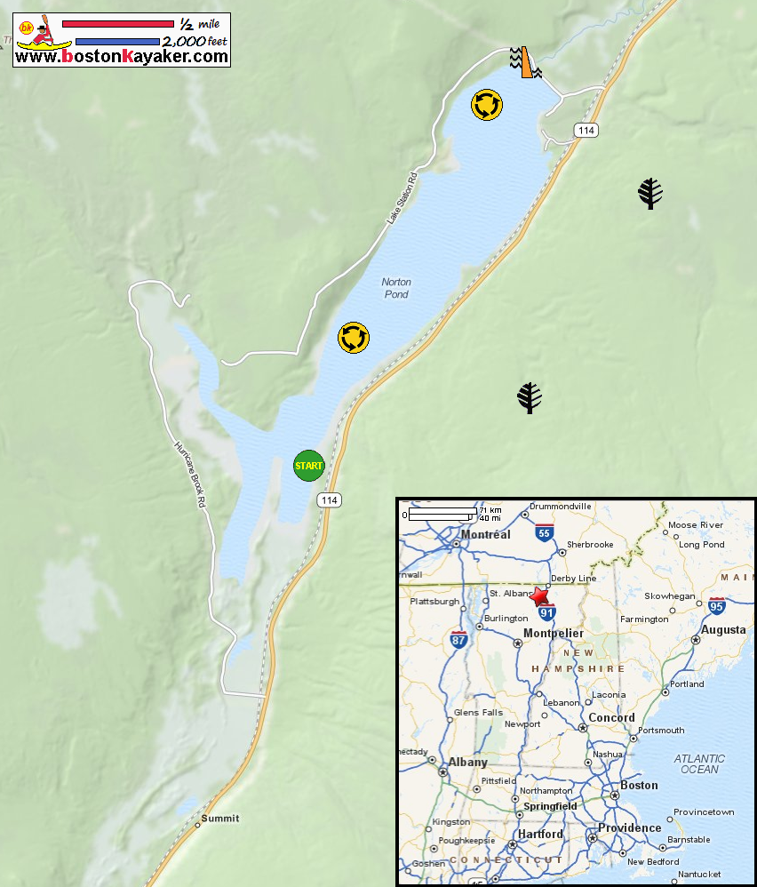
Paddling.net: Norton Pond Kayak Trip Report REI Guidepost: Norton Pond in Norton VT All photos in this website are original and copyrighted. 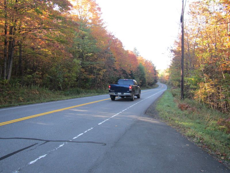 On Route 114 in Norton VT.
Trip date is September 2013. 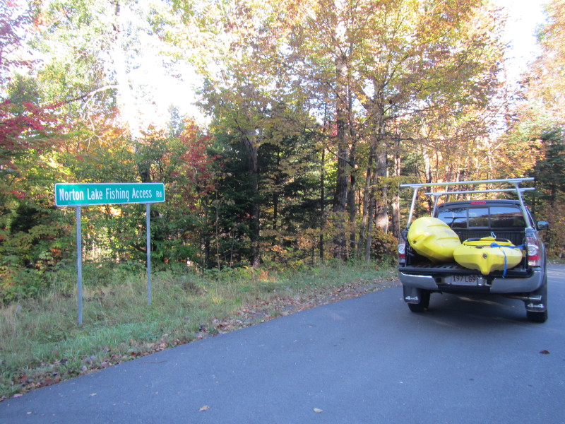 On Route 114 is the Norton Lake Fishing Access Road.
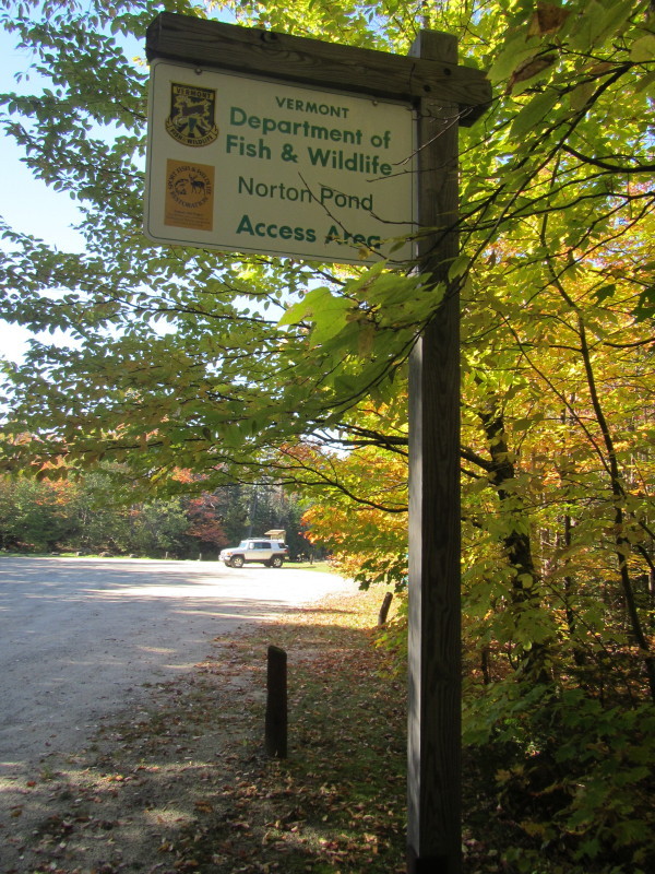
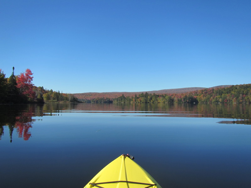
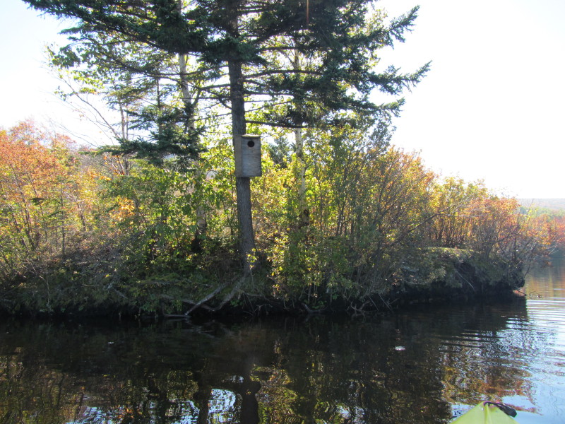
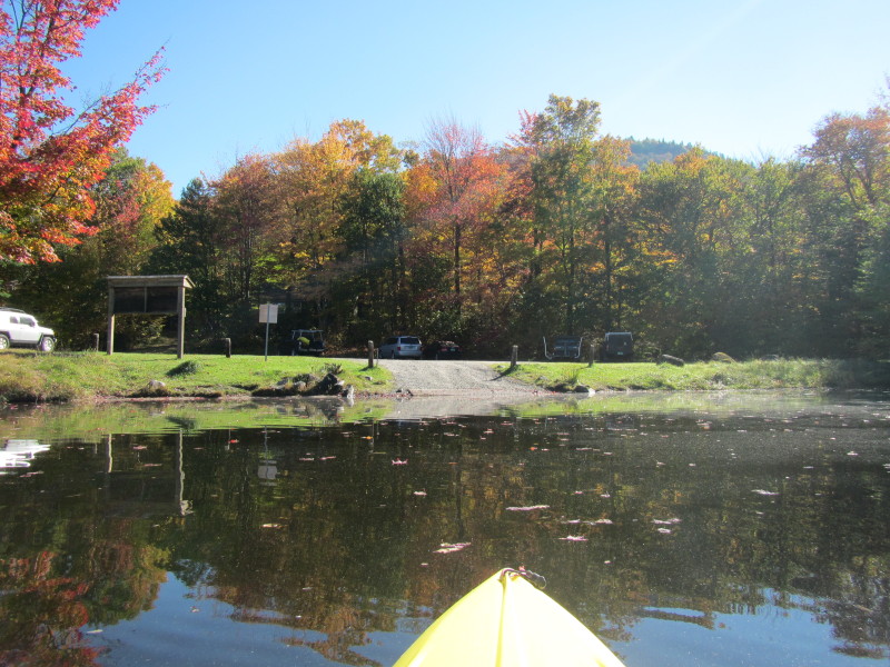
The Norton Pond launch area. 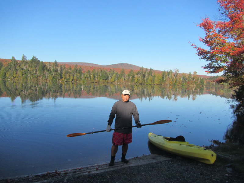 The Boston Kayaker ready to launch on Norton Pond in Norton VT.
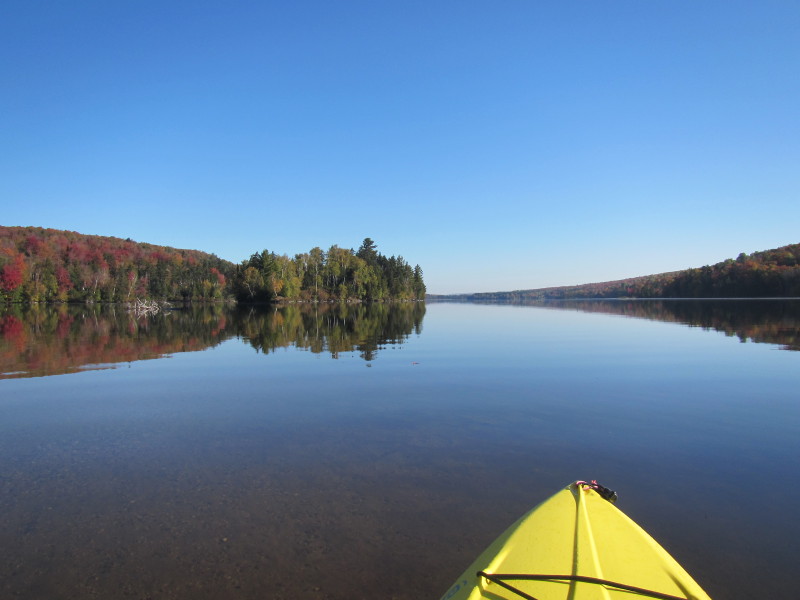
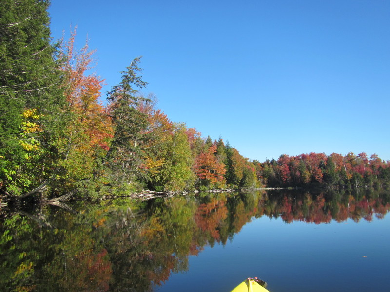
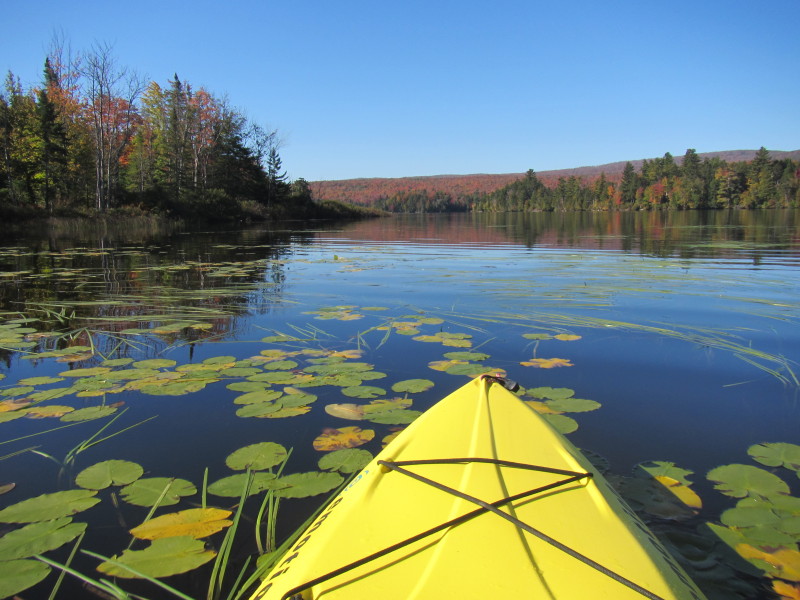
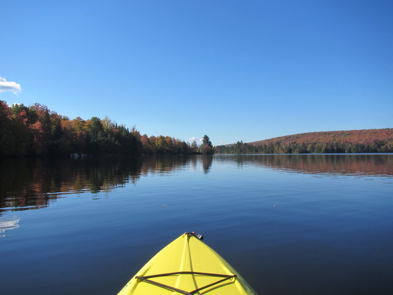
 Just launched on Norton Pond.
 Paddling to my right to head out of the launch cove.
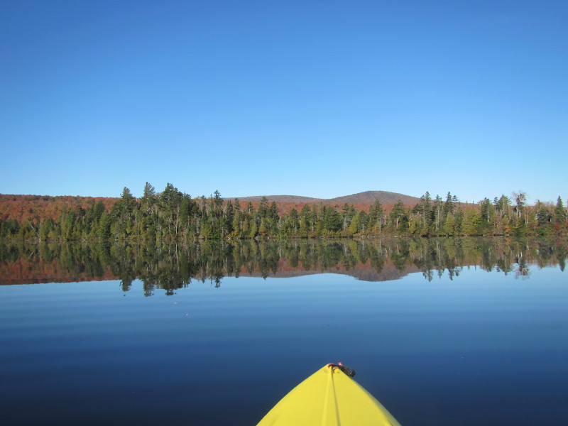
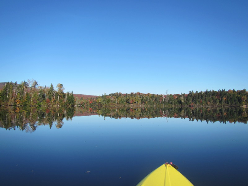
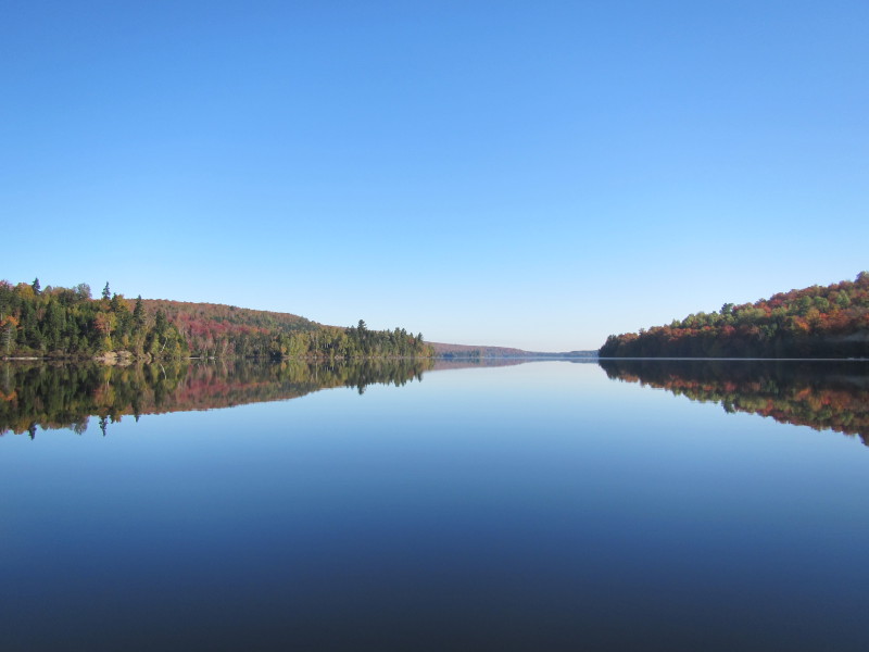
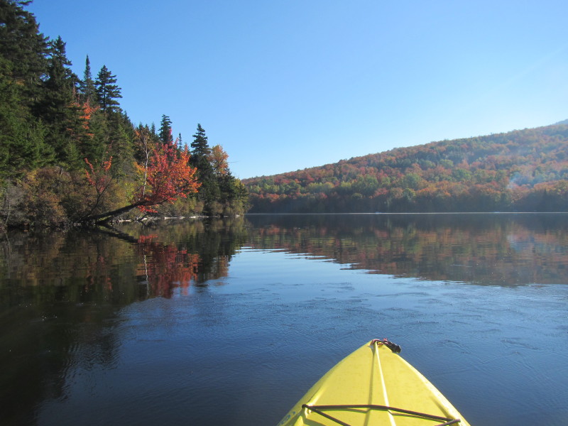
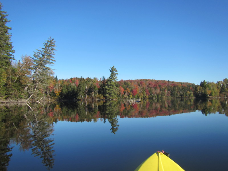
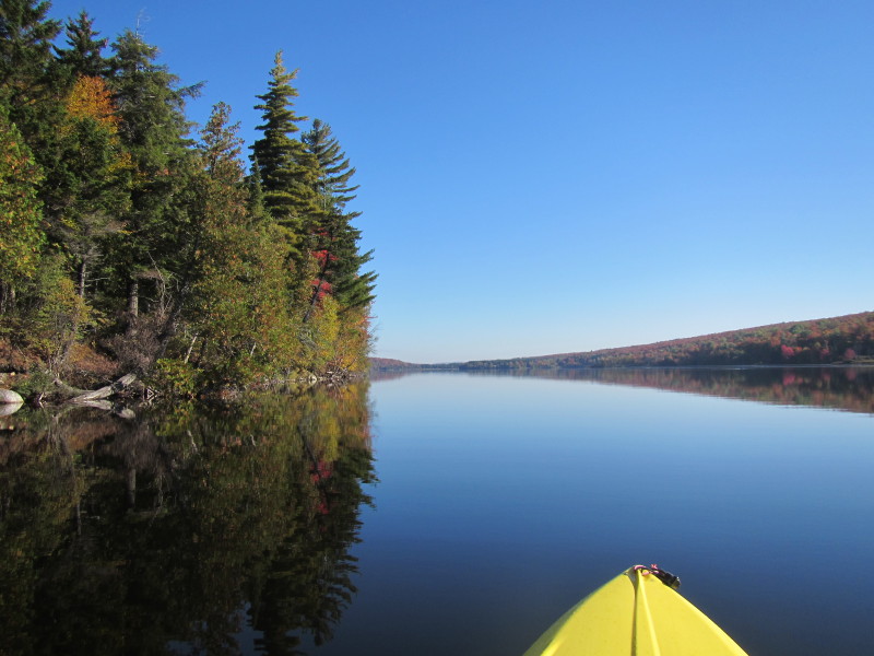
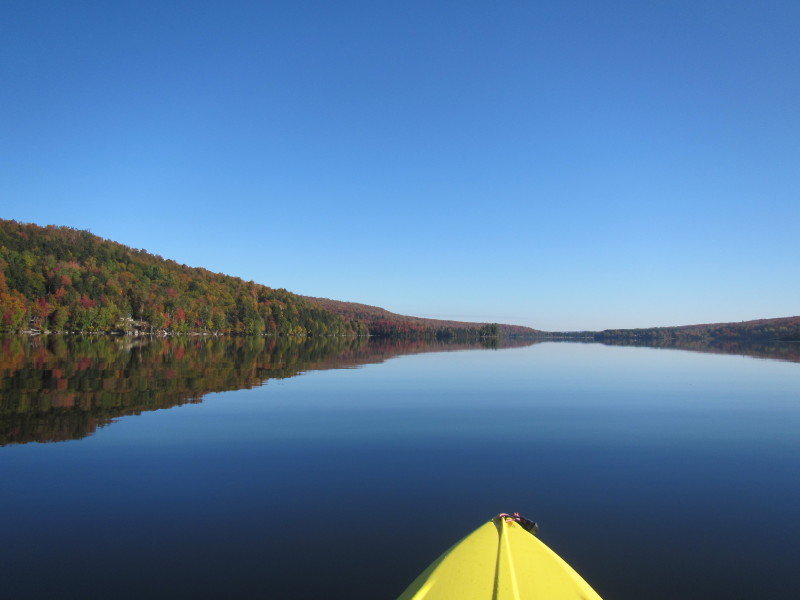
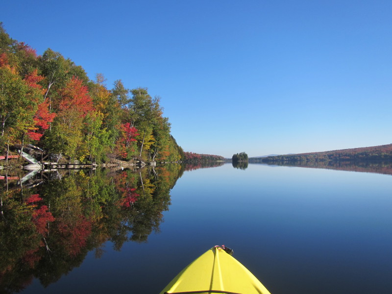
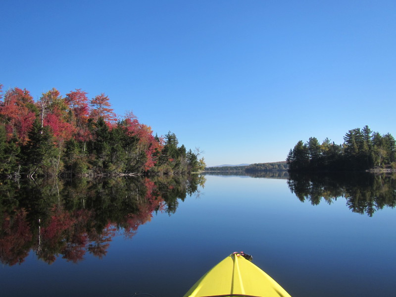
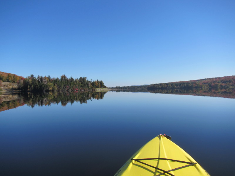
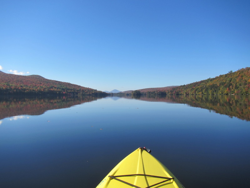
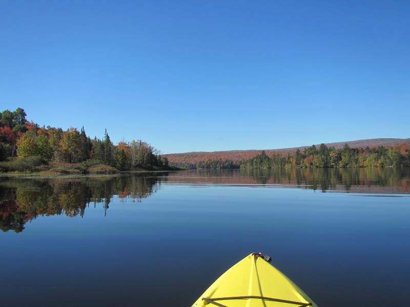
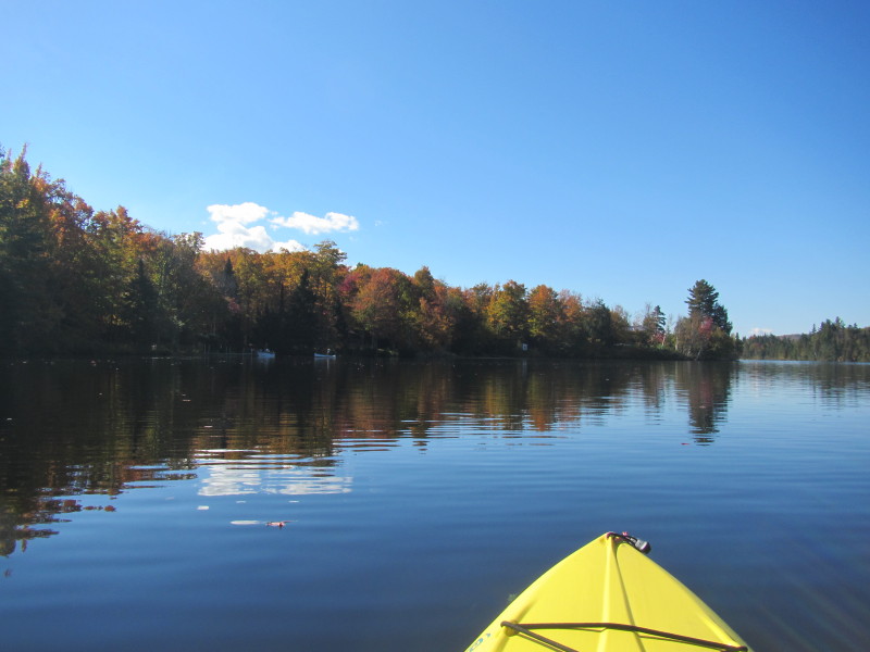
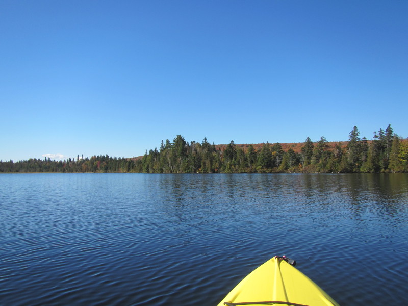
 Now of out the cove, looking across the water to the western side.
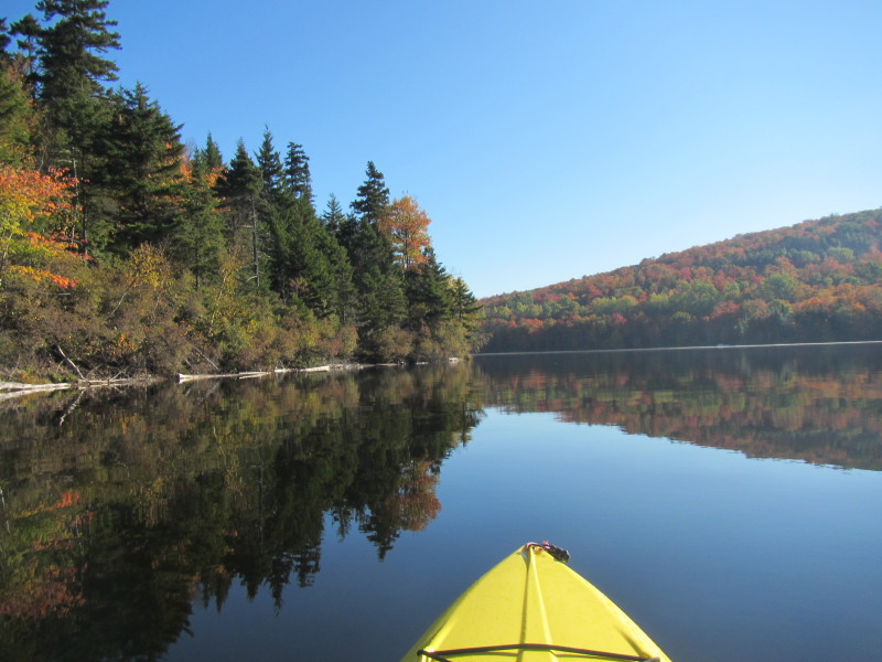
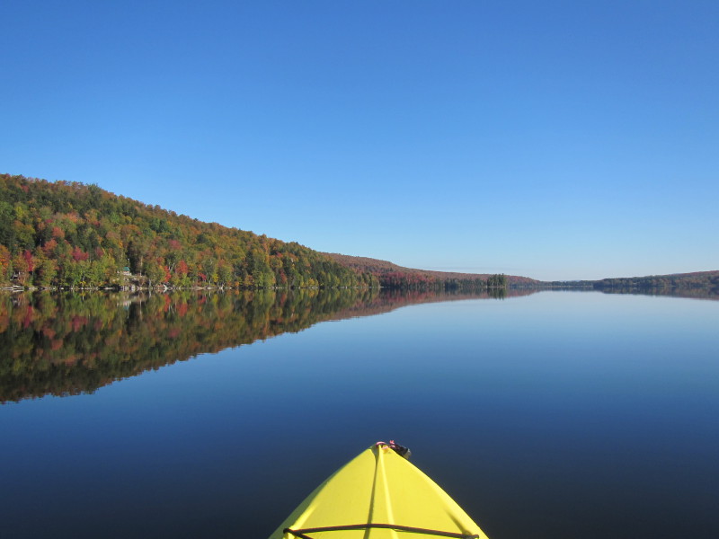
 Paddling across to the western side.
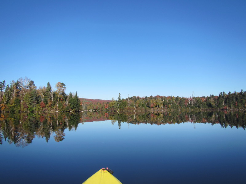
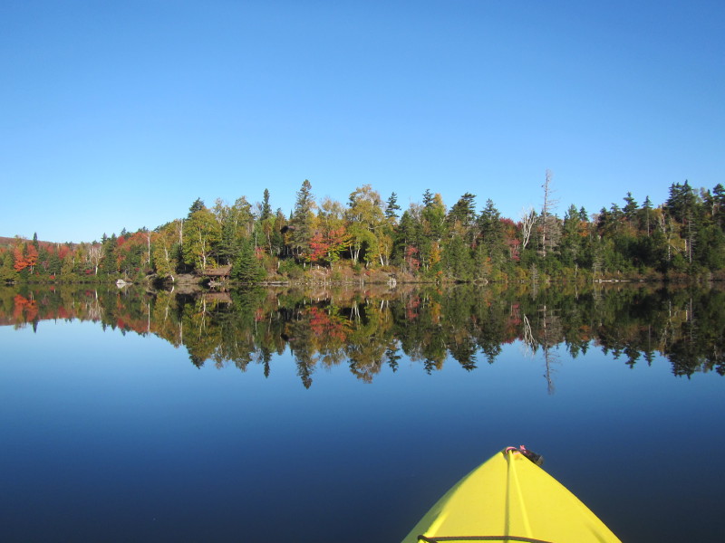
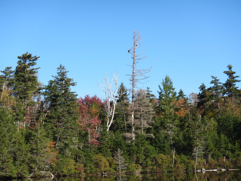
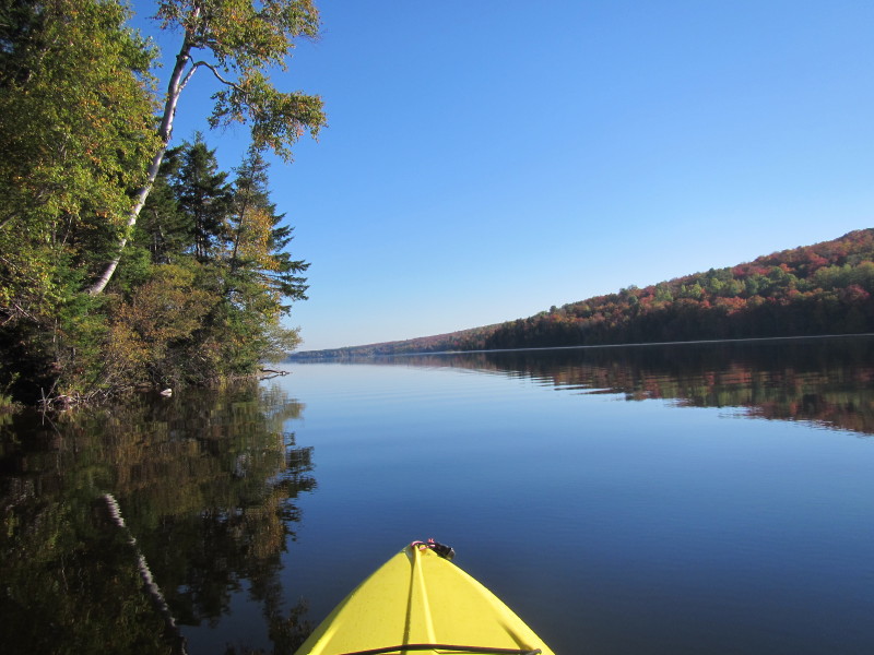
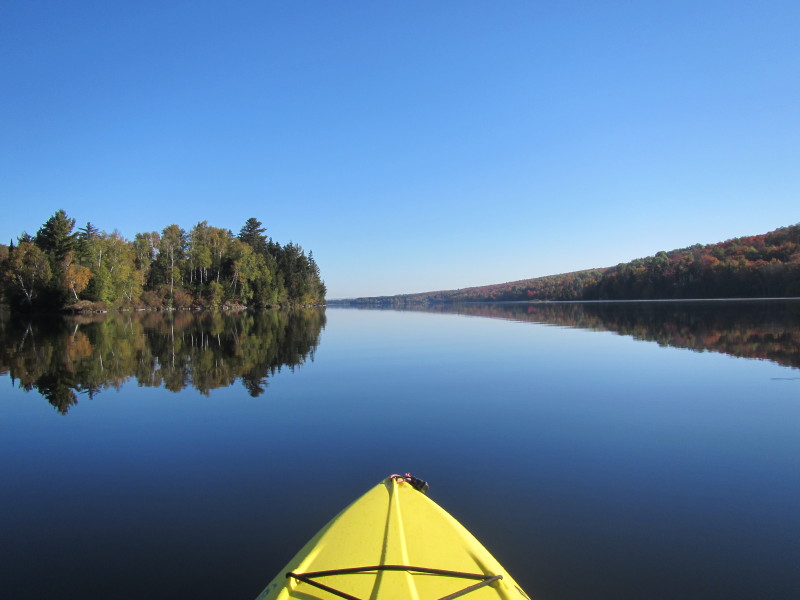
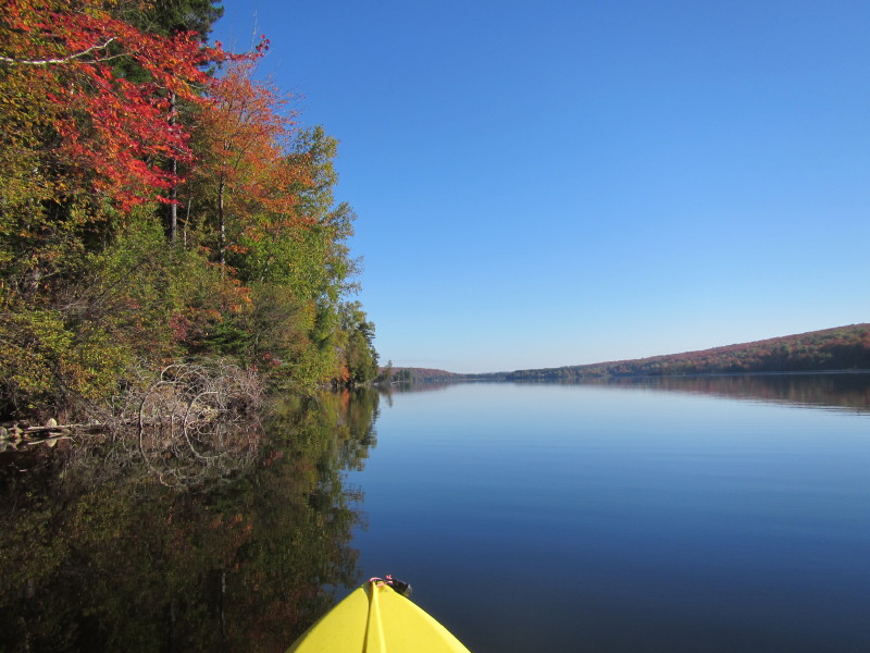
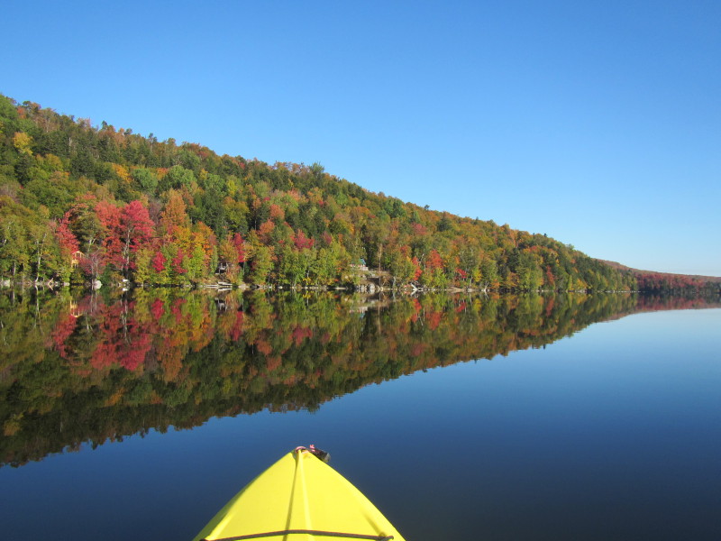
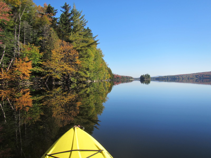
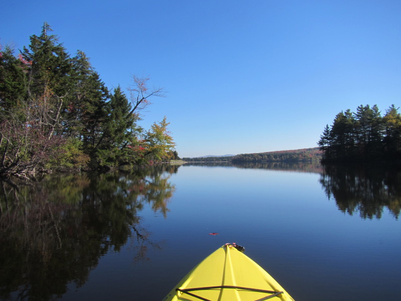
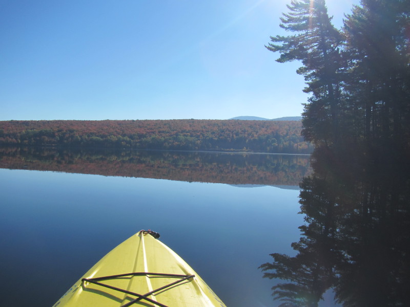
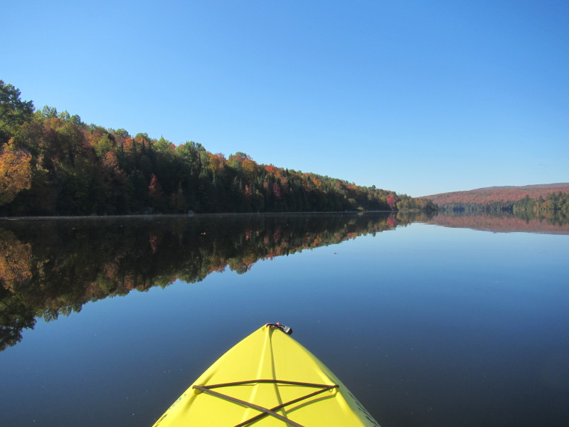
 Looking on my right is the full length of Norton Pond.
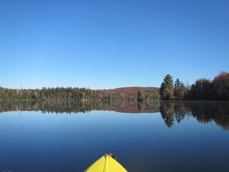
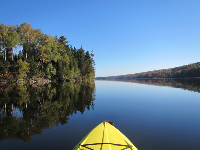
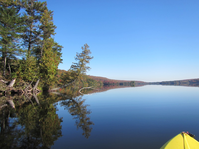
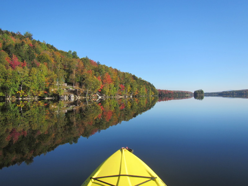
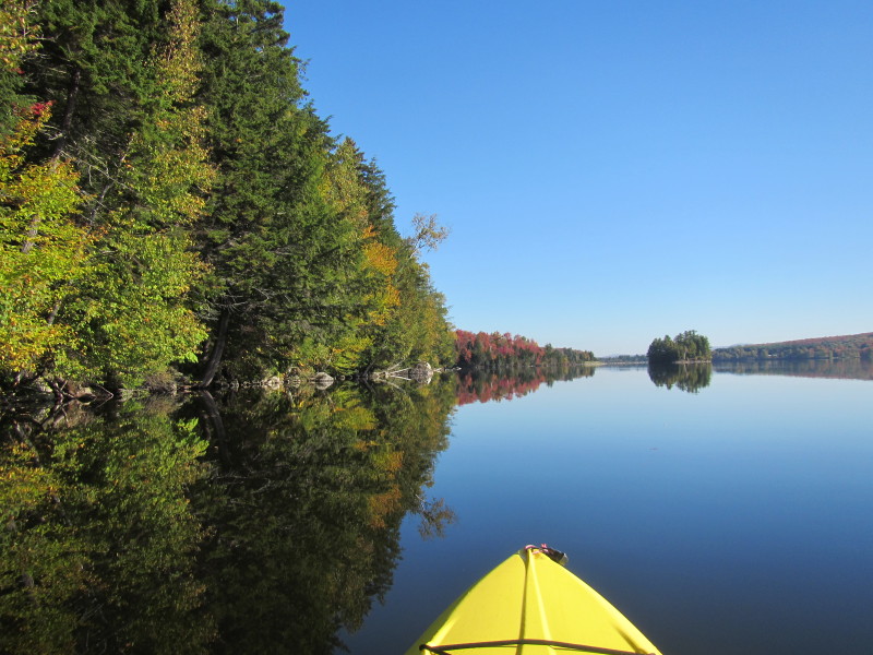
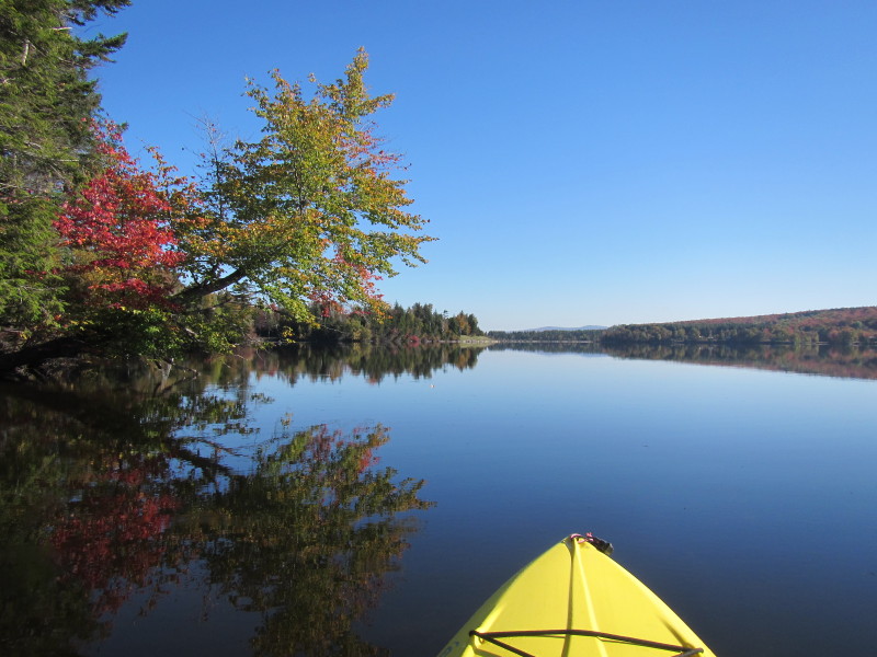
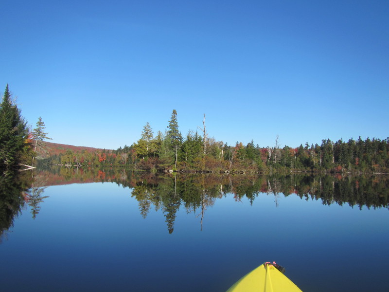 Contuing to paddle to the western side.
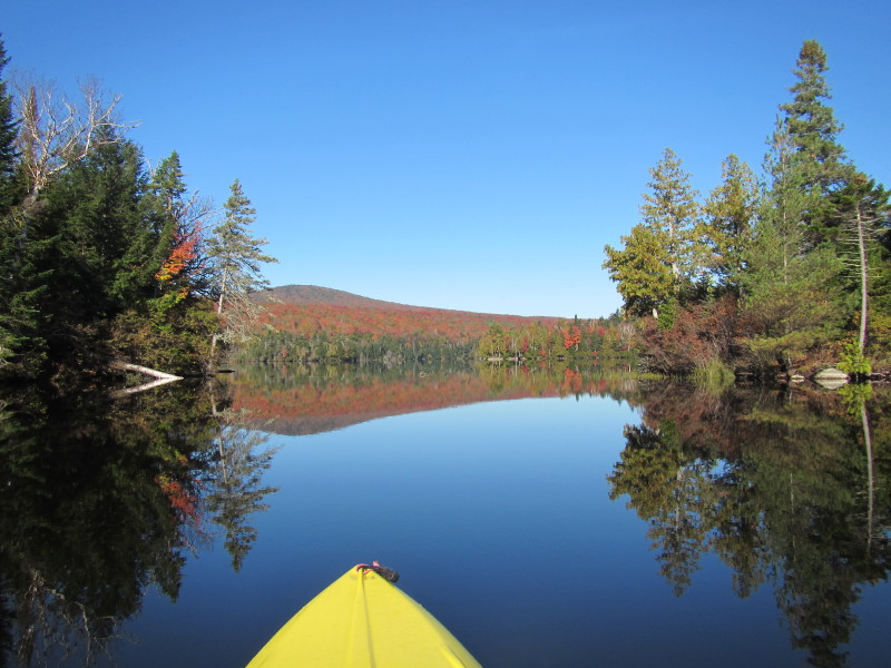
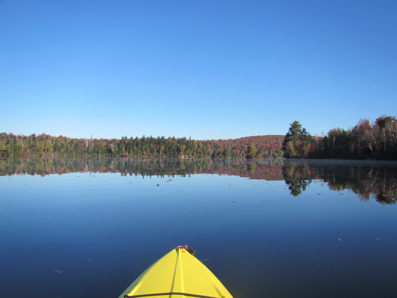
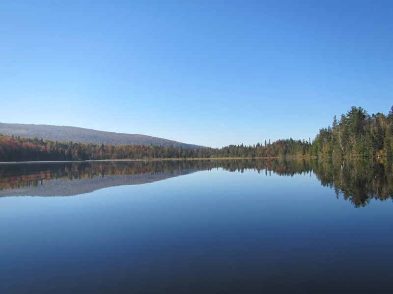
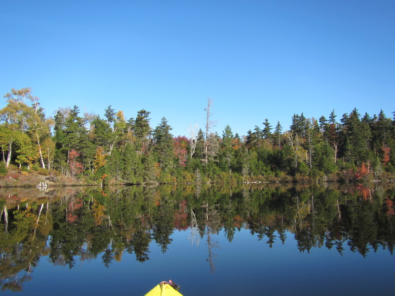
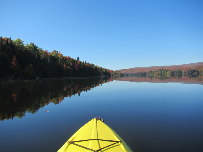
 In front of me is the long cove going westerly.
Will not go to this cove and will instead paddle right to the main body of Norton Pond. 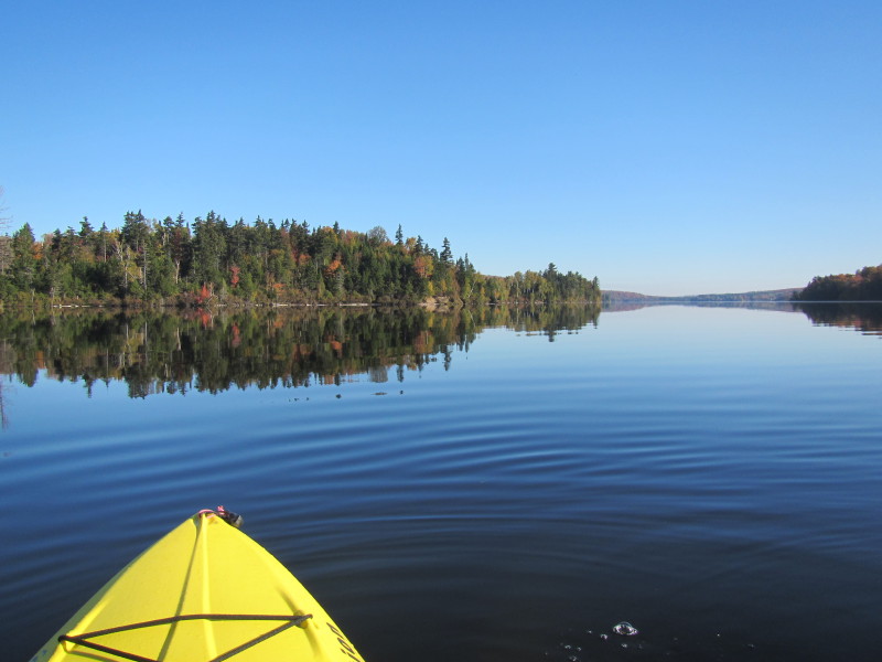
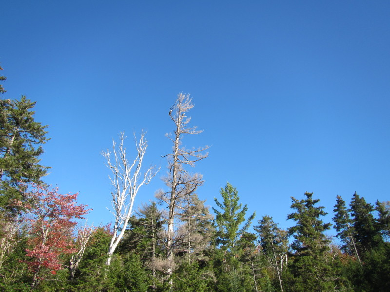
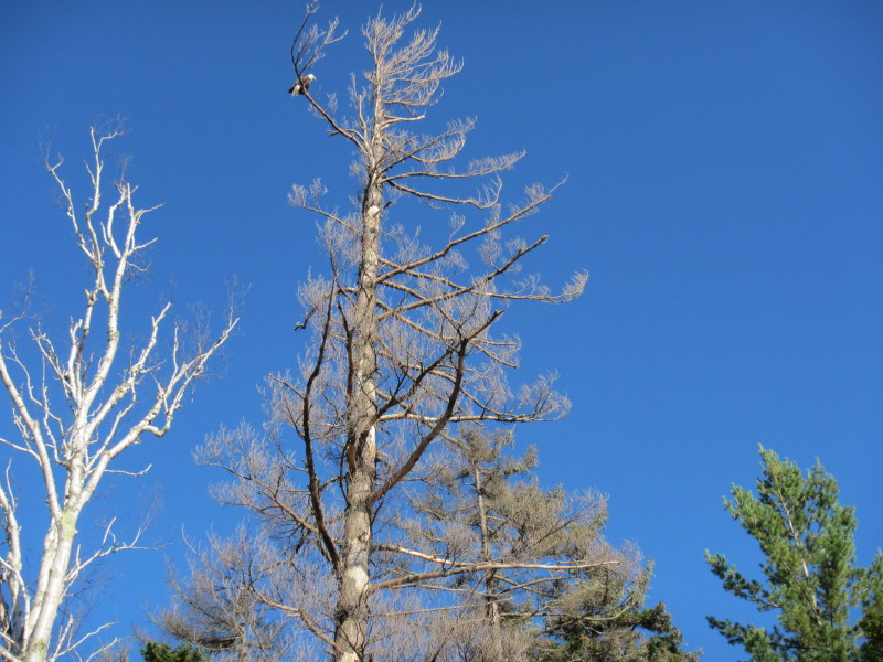
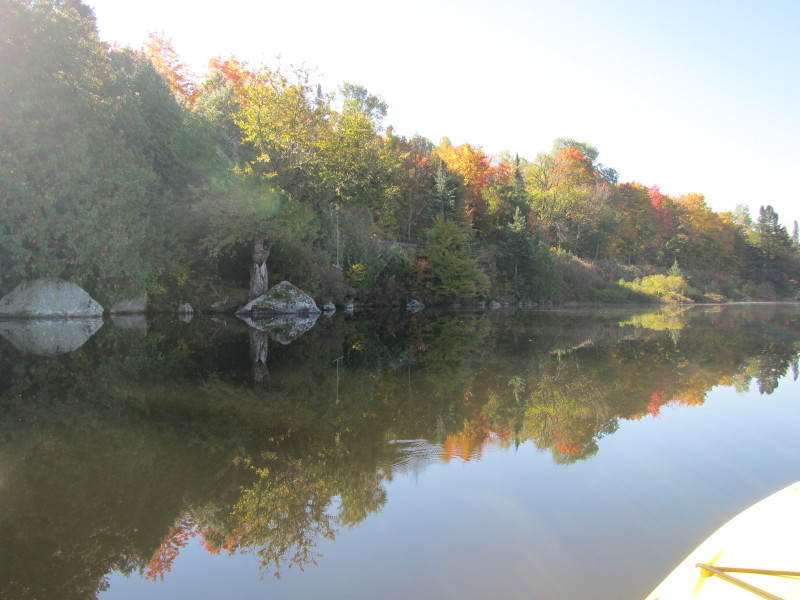
 Veering a little right, I can see an interesting leafless tree.
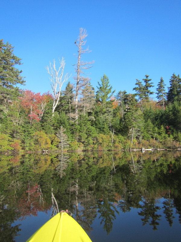
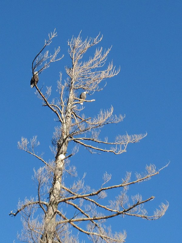
 A pair of bald eagles resting on a leafless tree.
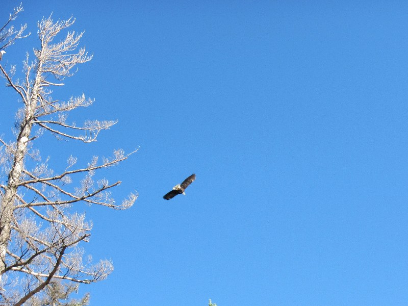 One of the bald eagles flew off.
 The other bald eagle stay put.
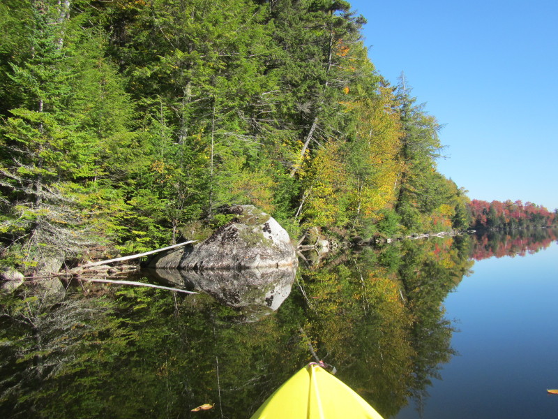
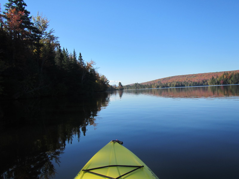
 Paddling northwards along the western shore.
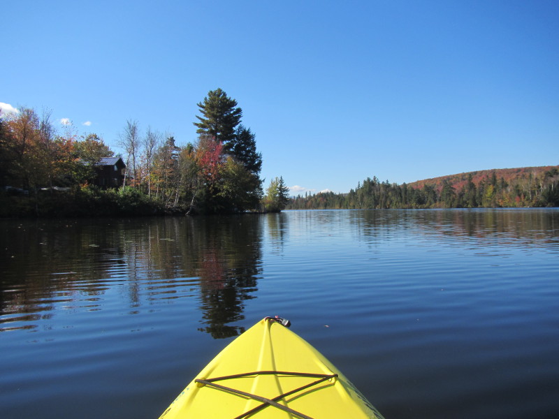
 This stretch of the Norton Pond western shore has houses.
 I will get to that island and circle around it on my way back . . .
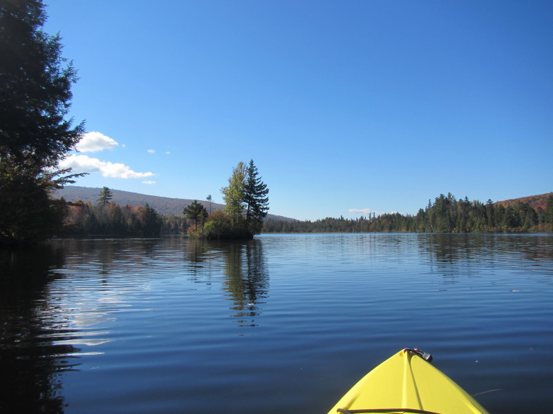
 The island is now in front of me on my right.
 I am now past the island (on my right) and can now see the rock walls of the Norton Pond Dam.
 Now paddling to the right to get back to the eastern side of Norton Pond.
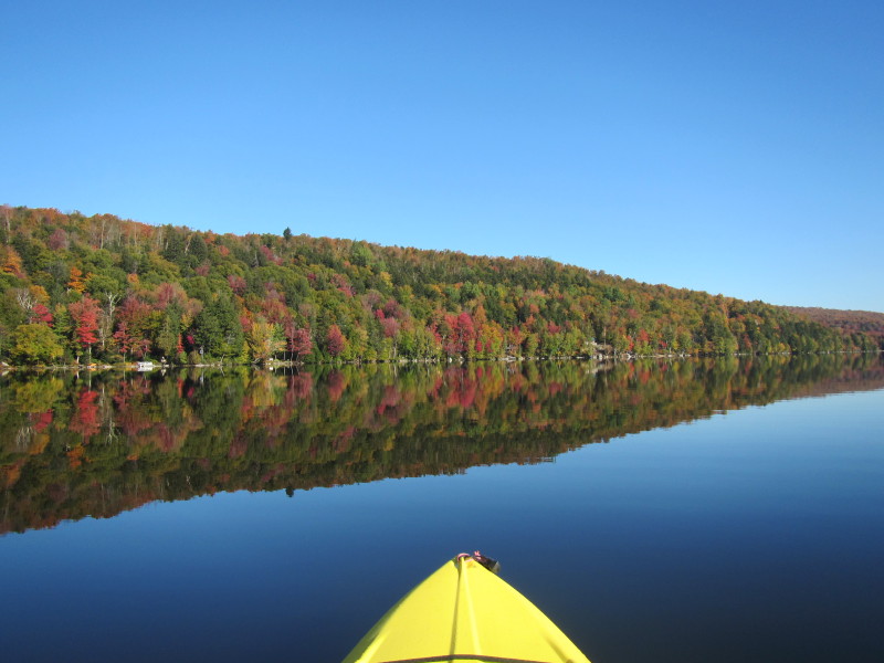
On the right of this picture is the island. 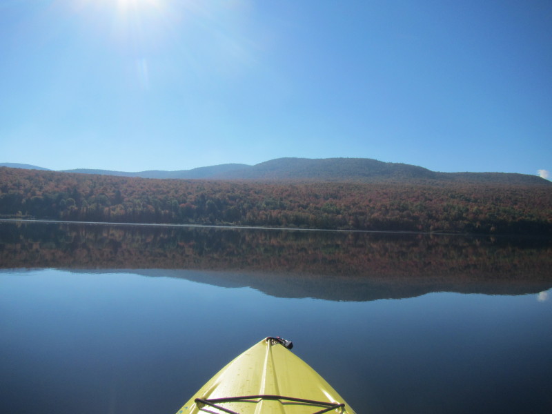 Kingdom State Forest on the eastern shore in full autumn colors.
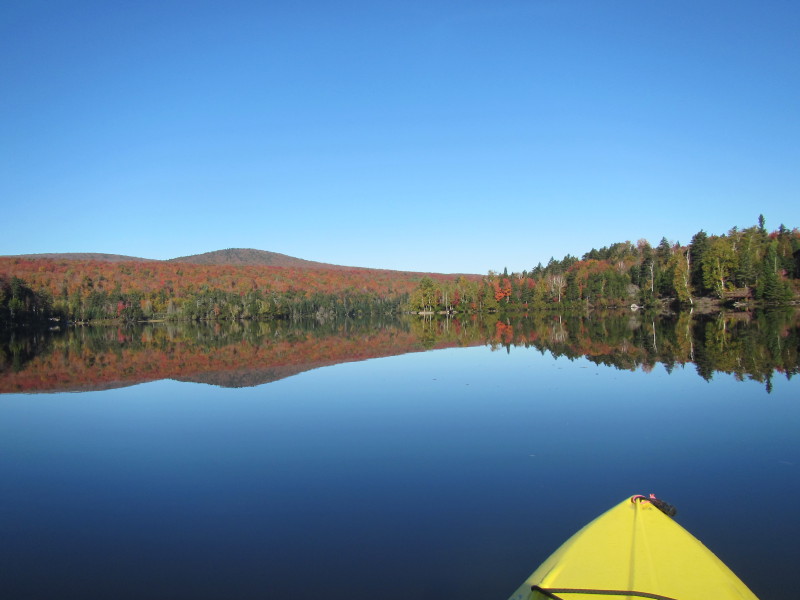
 Still in the middle of Norton Pond and just got past the island in the middle. Looking to the south.
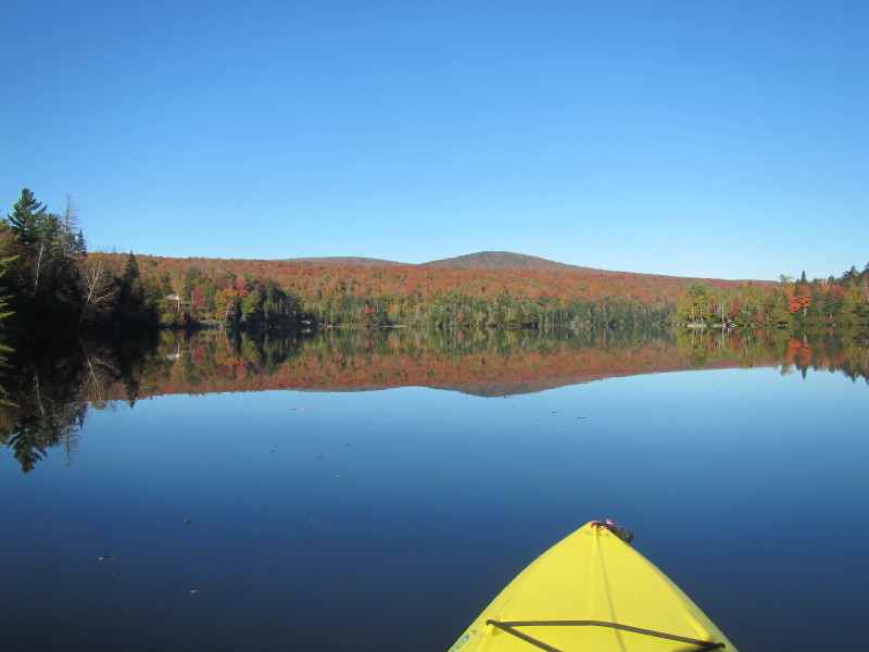
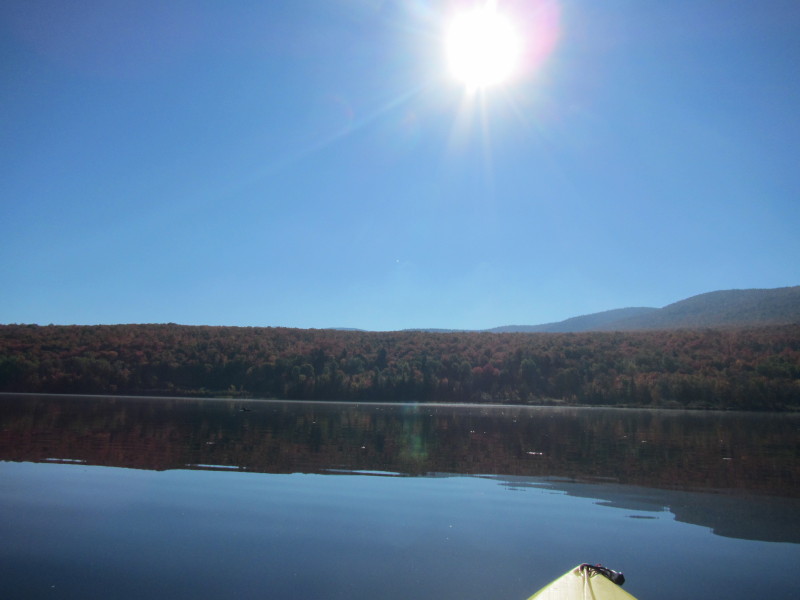
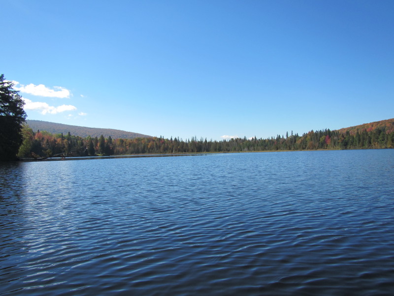
 Norton Pond looking from the north end.
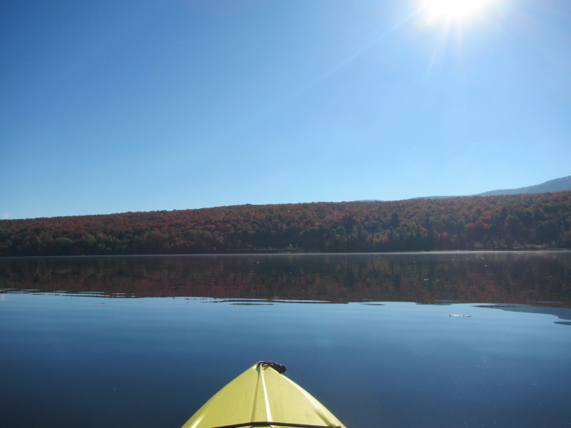
 Faced to the east again, will paddle easterly to get close the shore.
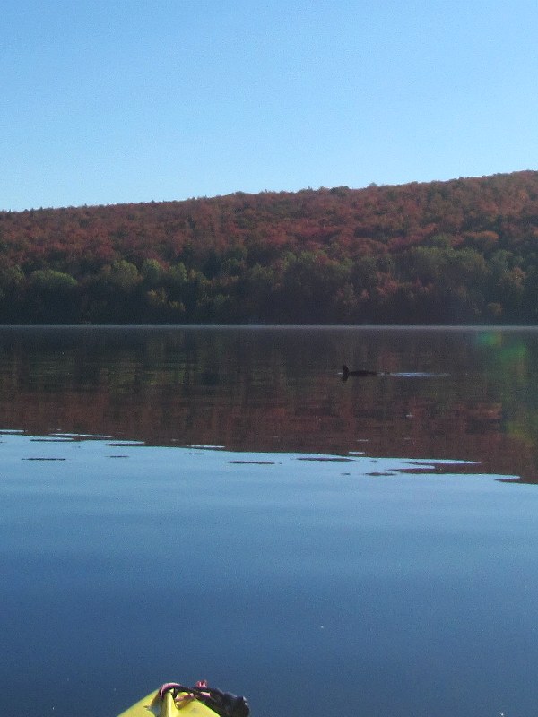
A beaver playing in front of me. First time I photographed one. They are usually shy and disappear fast. 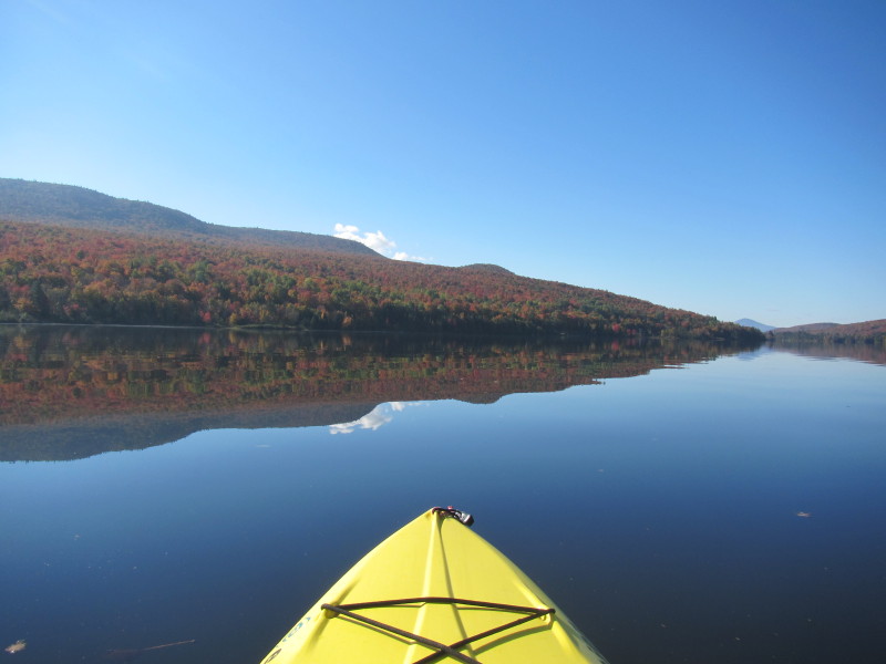
 Paddling southerly at the same time trying to get close to the eastern shore.
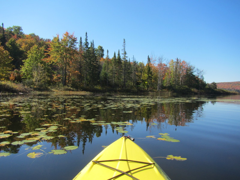
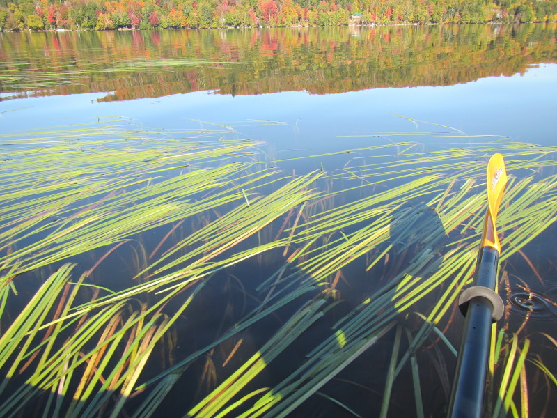
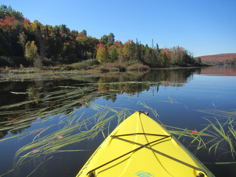 Aquatic garden on Norton Pond.
 A couple of kayakers on Norton Pond.
 On the left half of the picture is the launch cove.
 One last look to my right (west) before I head into the launch cove.
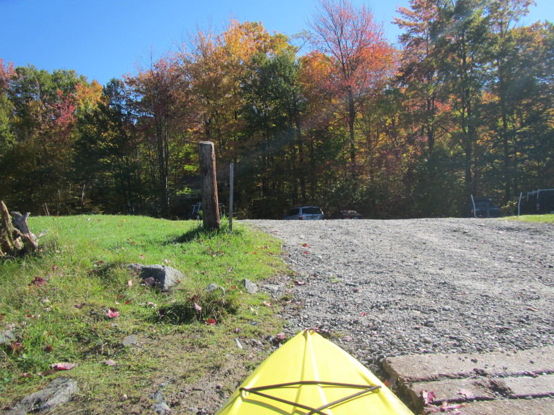
 The Norton Pond launch area.
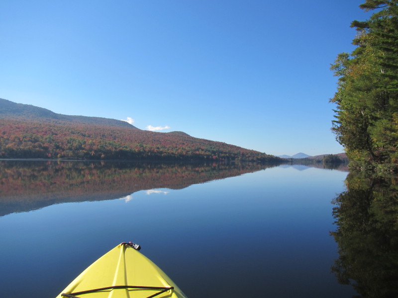
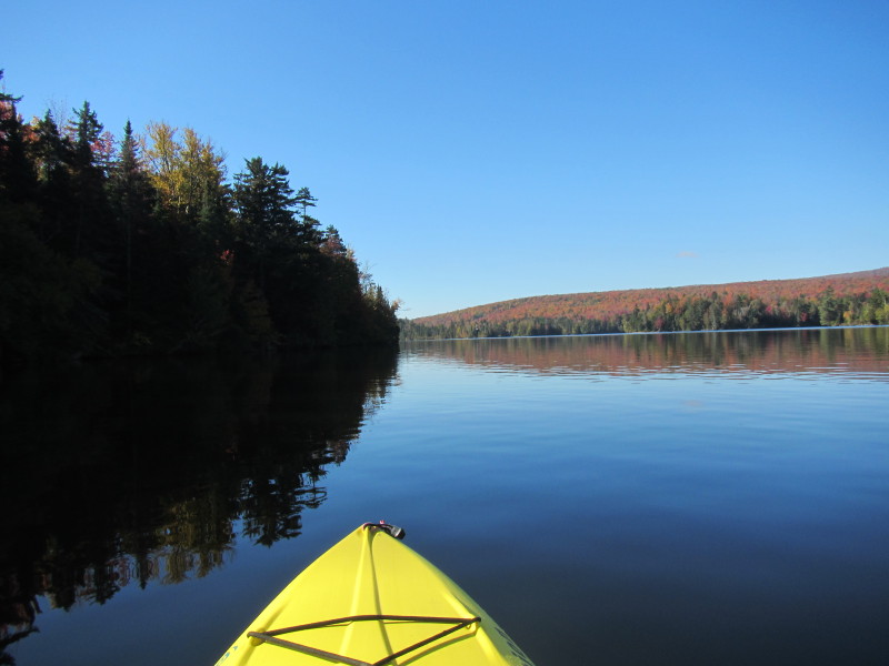
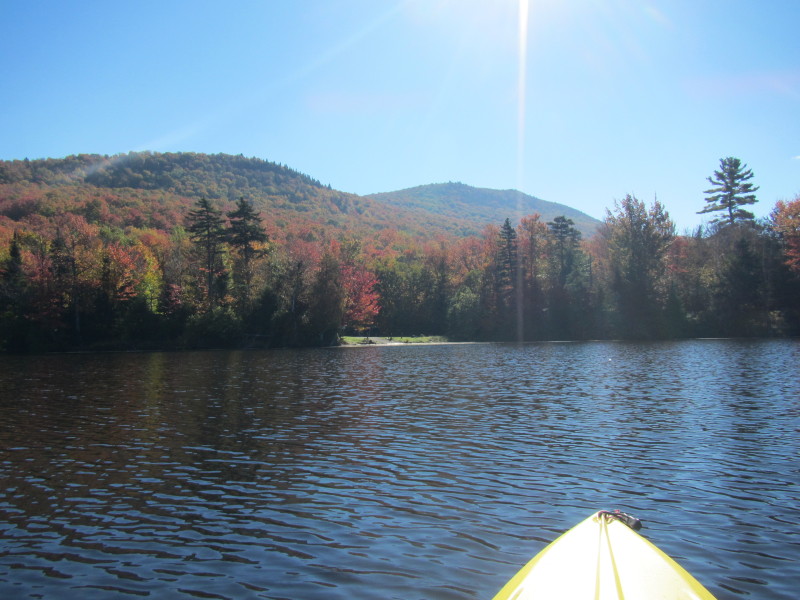
 Norton Pond south end.
 Landed.
|