|
Download printer-friendly
PDF version that fits in one page: |
Other resources:
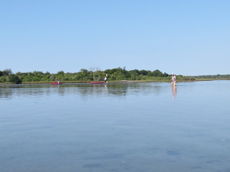
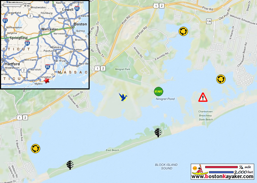
Explore RI's Blueways and Greenways: Ninigret Pond Paddling Guide (pdf) Explore RI's Blueways and Greenways: Ninigret Pond Paddling Guide (cached copy) US Fish & Wildlife Service: Ninigret National Wildlife Refuge Explore RI's Blueways and Greenways: Ninigret National Wildlife Refuge Paddling.net: Ninigret Pond Trip Report A Daytripper's Guide to Rhode Island: Ninigret Pond All photos in this website are original and copyrighted. On the turn to Park Lane on Route 1A in Charlestown RI. Trip date is August 2016. Follow Park Lane to the end to the Ninigret National Wildlife Refuge. This parking area comes into view. At the corner of the parking lot is this sign directing to a smaller area next to the water. At the put in to Ninigret Pond from the wildlife refuge. The Boston Kayaker and wife ready to launch into Ninigret Pond. The Boston Kayaker launching into Ninigret Pond. From the launch, we will veer to our left eastwards. The launch area and take out is marked by this orange-painted rock. We decided to skip the rest of the cove on our left and head east . . . Wake from a passing motor boat. Now at the easternmost cove on the north side. Continuing eastwardly paddle. We are now paddling southerly towards the south east corner. A couple of kayakers walking their kayaks out of the low-tide mud. In front of us now is the channel into and out of Ninigret Pond. Three boats lined up coming in. We have to wait for these boats to pass the we cross the busy channel westwards to the other side. Now past the busy channel, a cove on my left. Paddling westwards with the southern shore on our left. Staring at the rest of the western half of Ninigret. We decided we will head to northern shore to those pretty rocks and head east to the take out from there. Will now follow this shore on left to our takeout. A couple of paddles on Ninigret Pond. Paddle time is 1 hour 30 minutes. |