 Kayaker

|


|
Download printer-friendly
PDF version that fits in one page: |

|
|
Other resources:
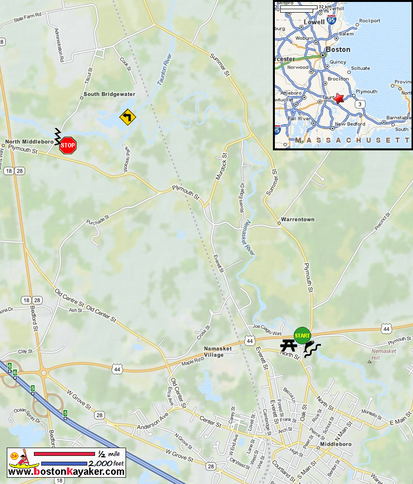
Taunton River Watershed Alliance Explore RI's Blueways and Greenways: Oliver Mill Park Explore RI's Blueways and Greenways: Titicut Street Bridge River Access Paddling.net: Nemasket River Trip Report 1 Paddling.net: Nemasket River Trip Report 2 Wikipedia: Nemasket River All photos in this website are original and copyrighted. 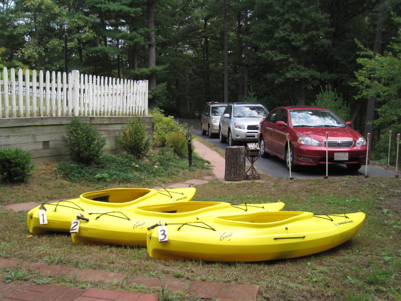 It was a nice sunny day in July 2010 at the Boston Kayaker's residence.
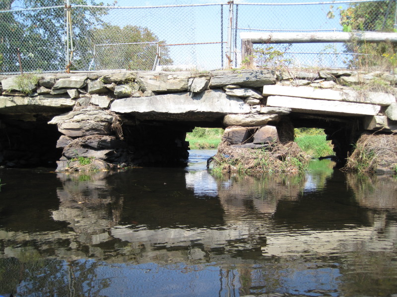
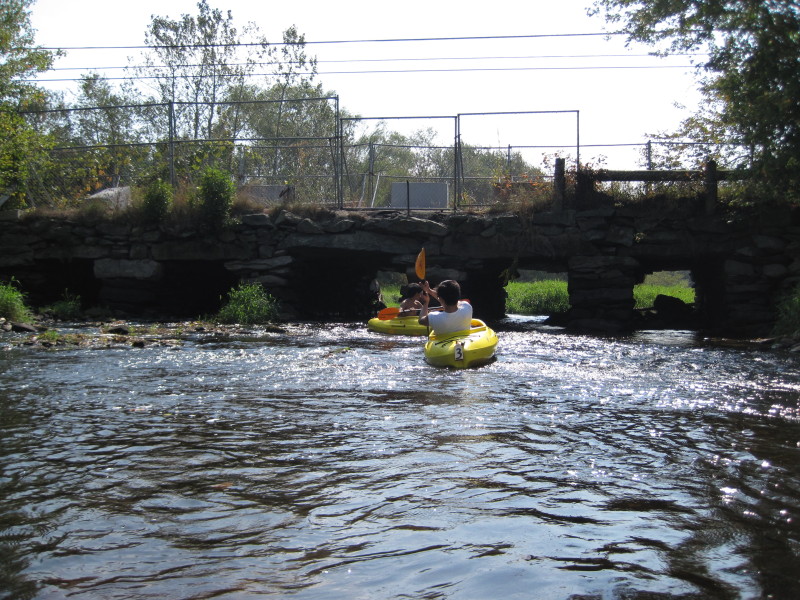
 We put in just below the fish ladder at Oliver Mill Park.
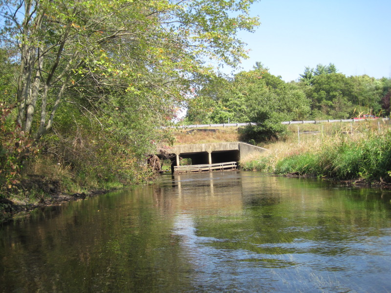
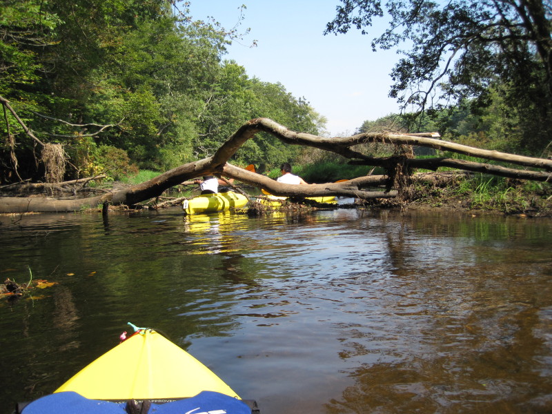
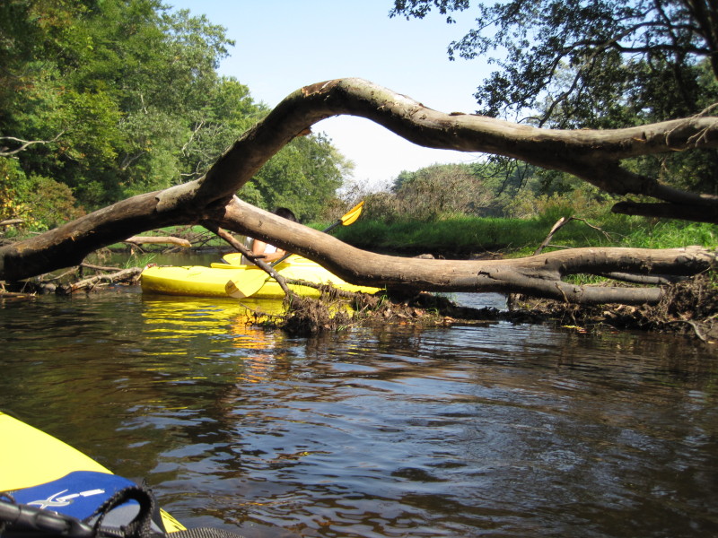
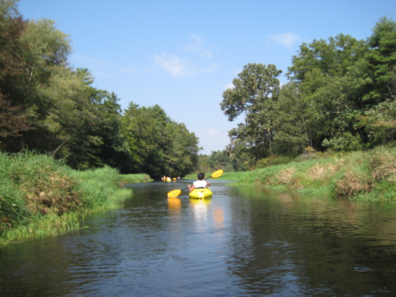
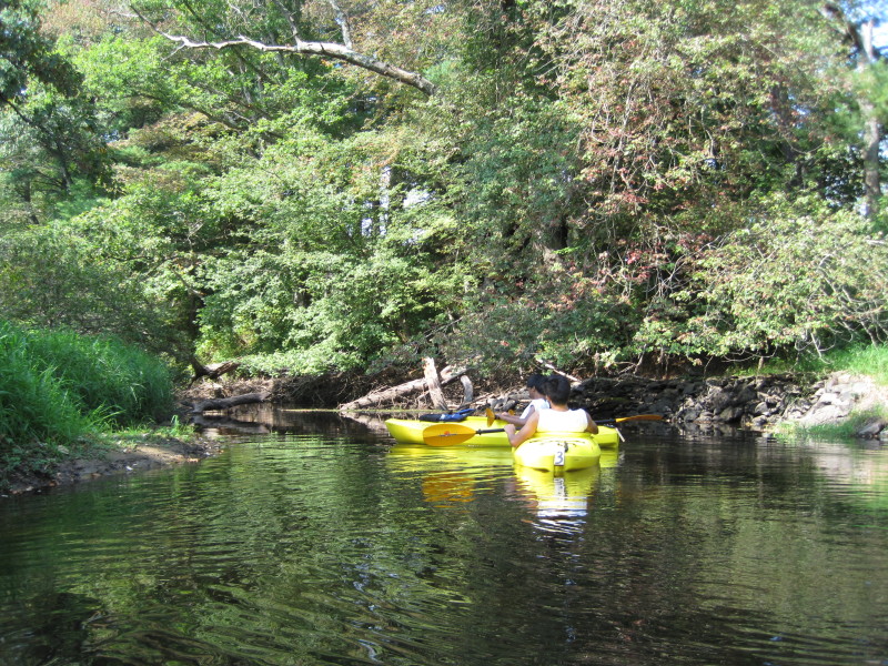
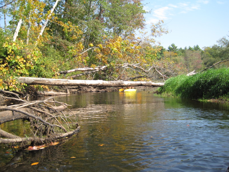
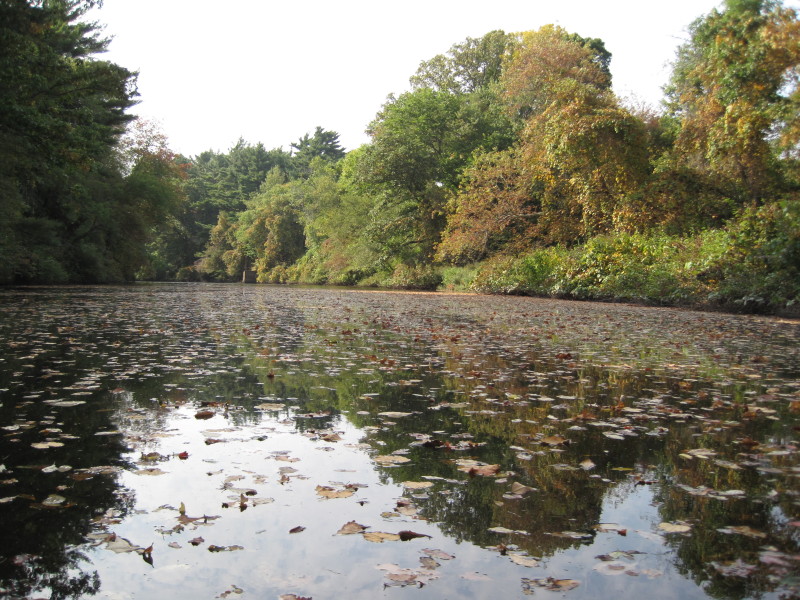
 Nemasket River is mostly narrow and shallow.
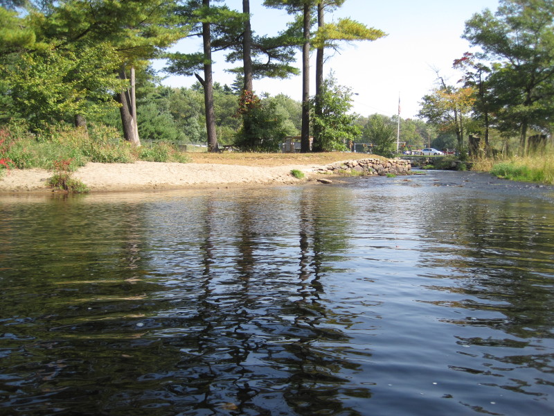
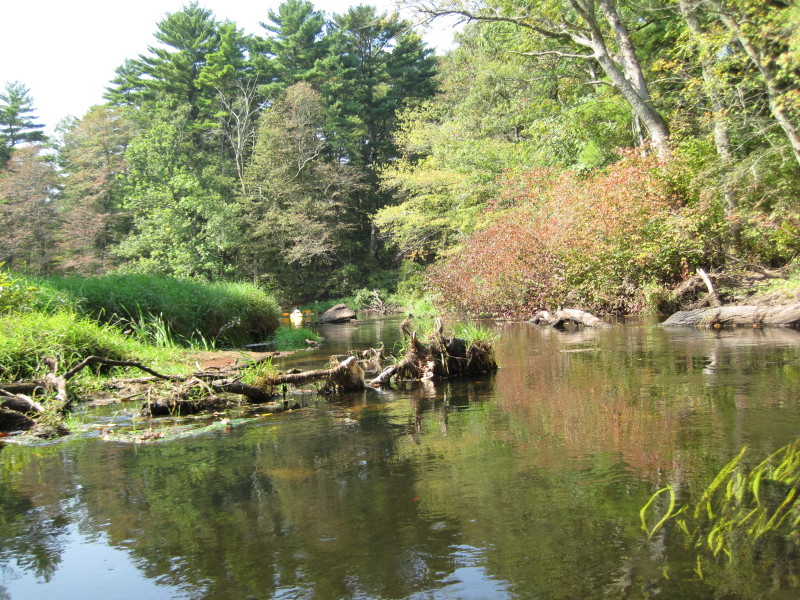
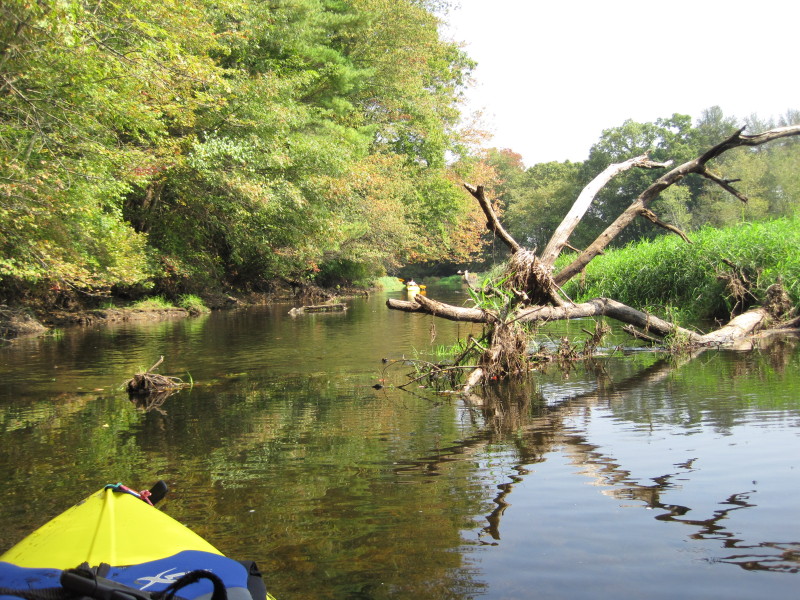
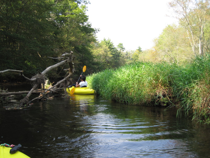
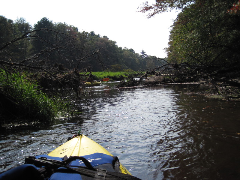
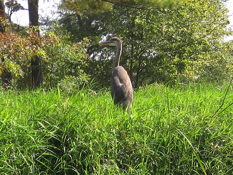 Wildlife aplenty.
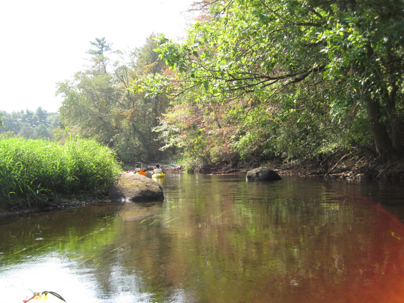
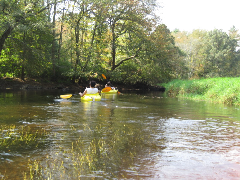
 My son was struggling to push himself at this shallow part of the river.
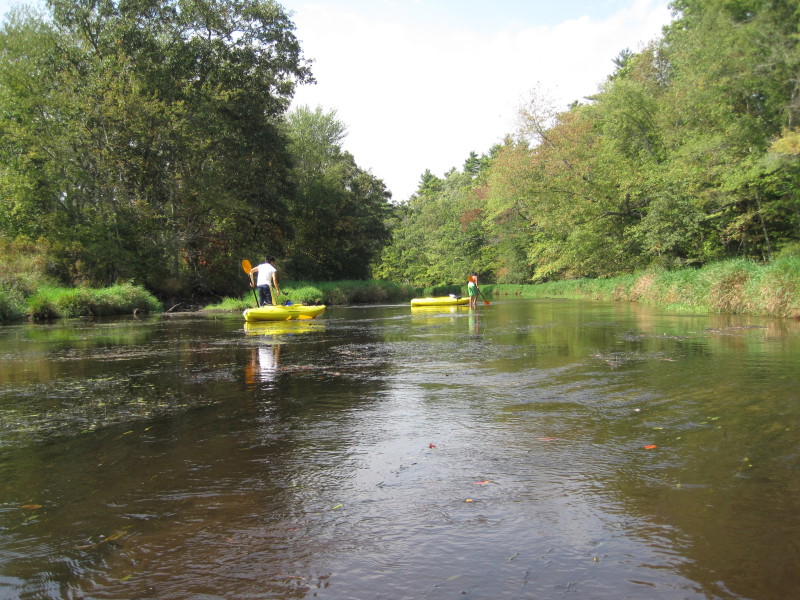
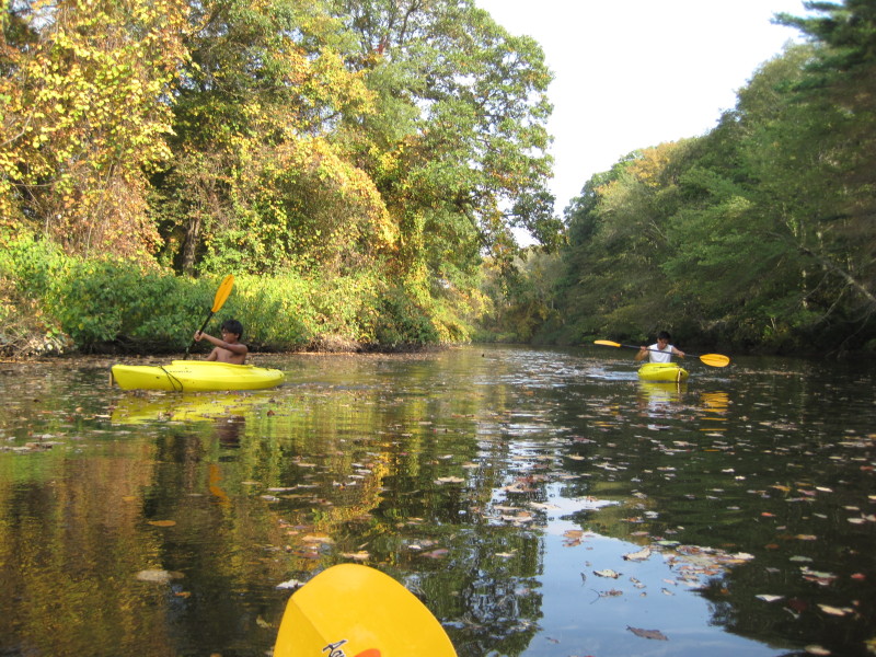
 Taking a break.
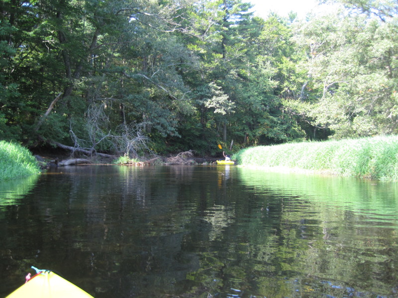
 Another shallow point where we have to get out and pull our kayaks.
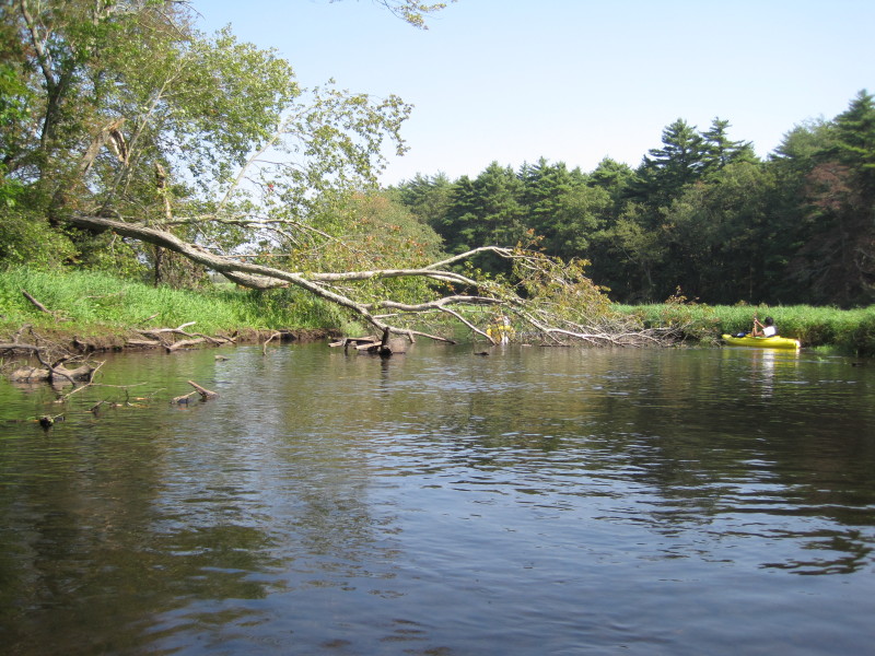
 We are at the Taunton River at this point.
 This trip was very tiring and took us about 4 hours due to the hard-to-navigate shallow areas.
|