 Kayaker

|

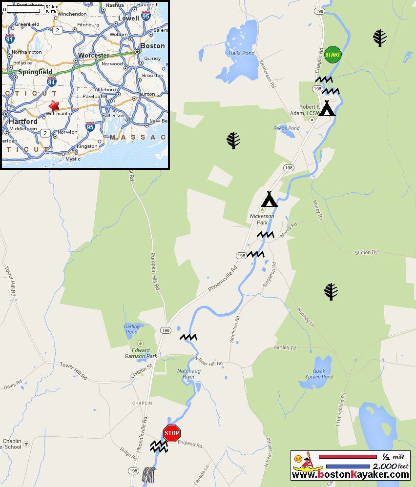


|
Download printer-friendly
PDF version that fits in one page: |

|
|
Other resources:
Natchaug River Kayaking North Section Natchaug River Kayaking Edward Garrison Section All photos in this website are original and copyrighted. 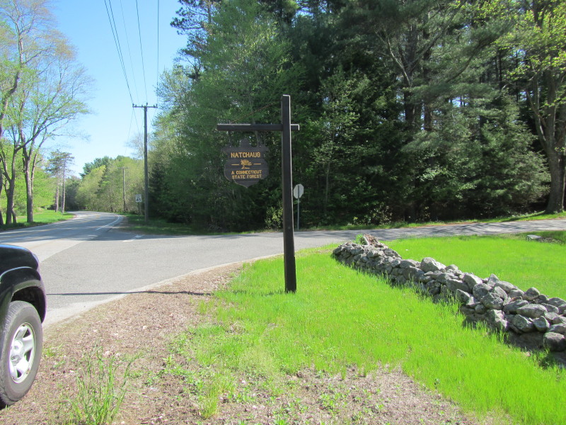 The Natchaug River launch road sign on Route 198 in Eastford CT.
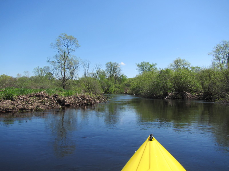
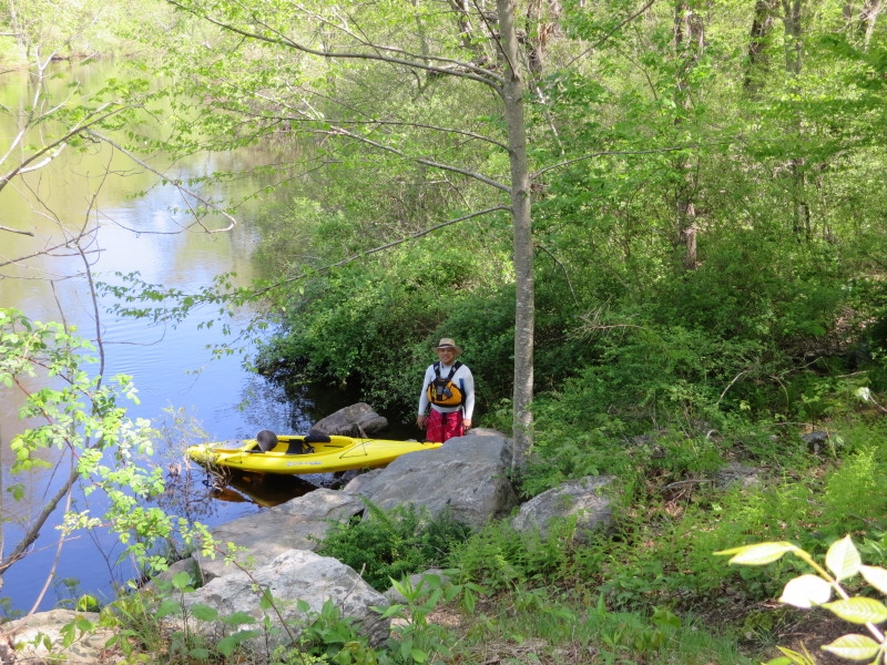
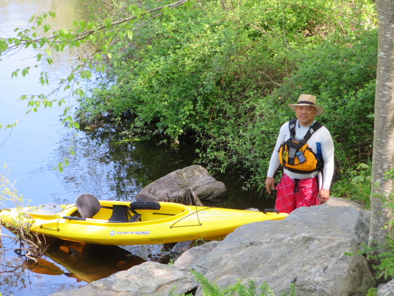
Trip date is May 2014. 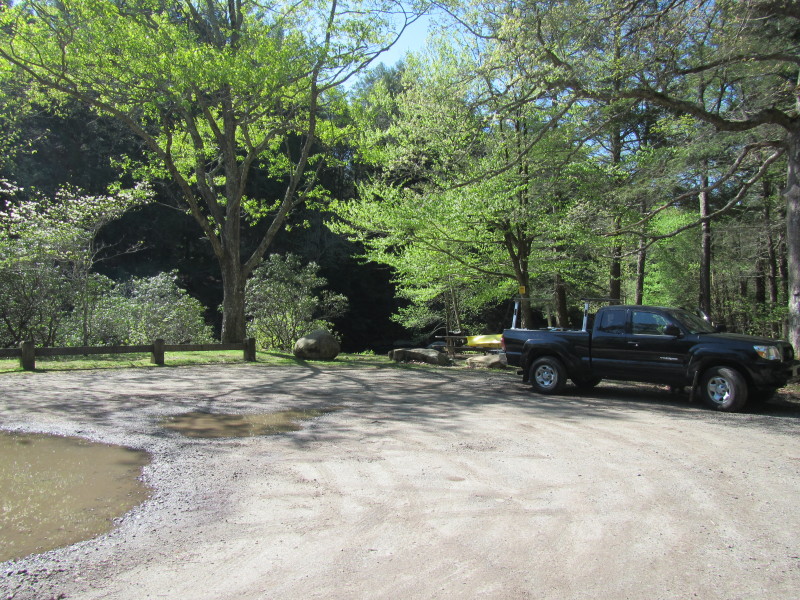 The Natchaug River launch area.
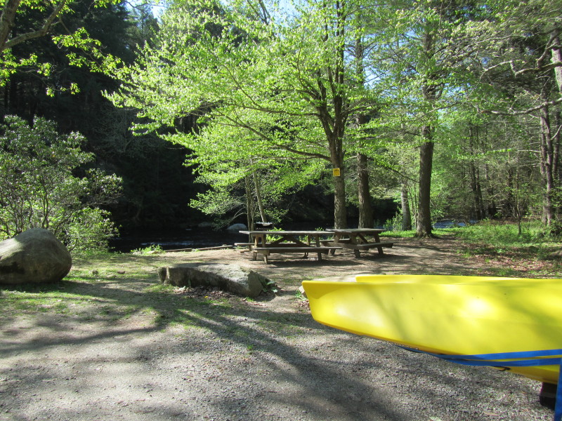
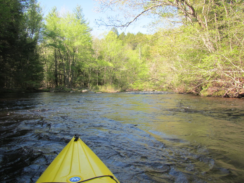
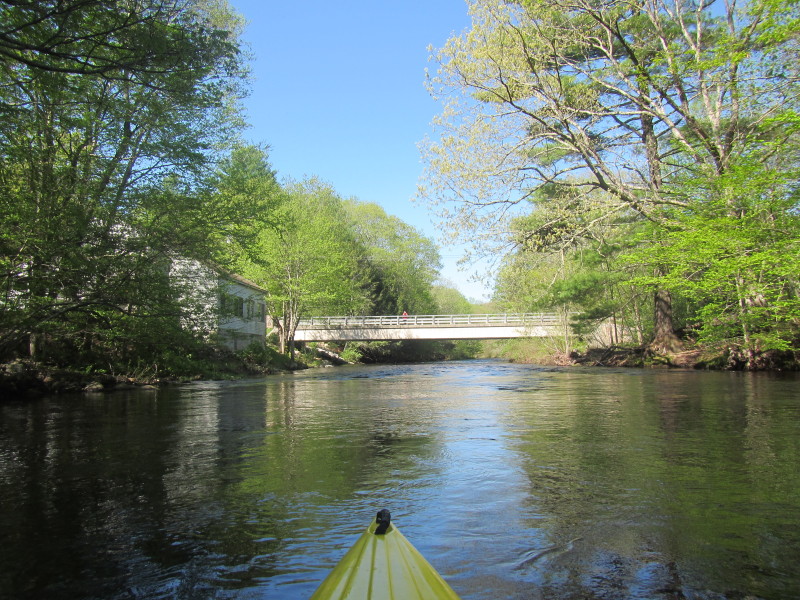
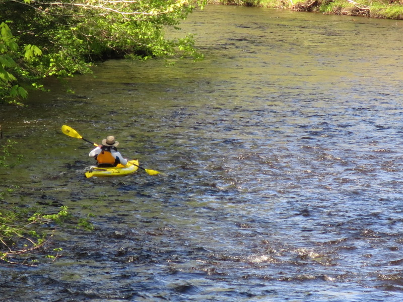
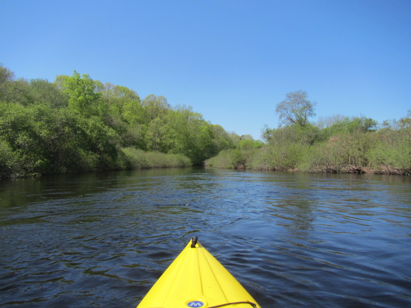
 The Boston Kayaker just launched onto Natchaug River in Eastford CT.
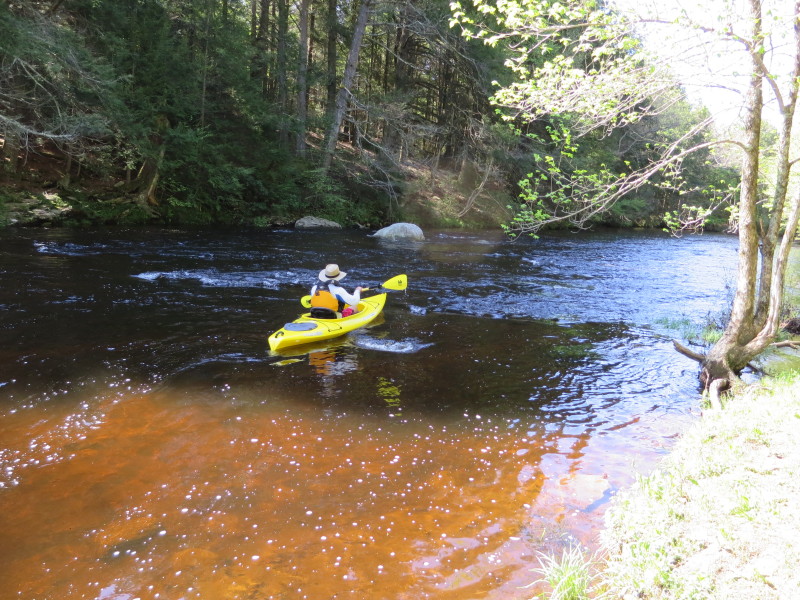
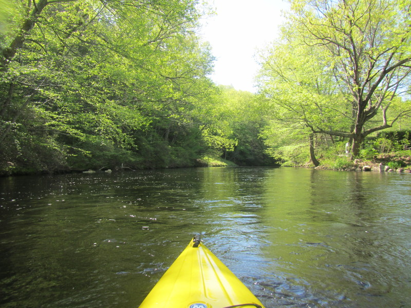
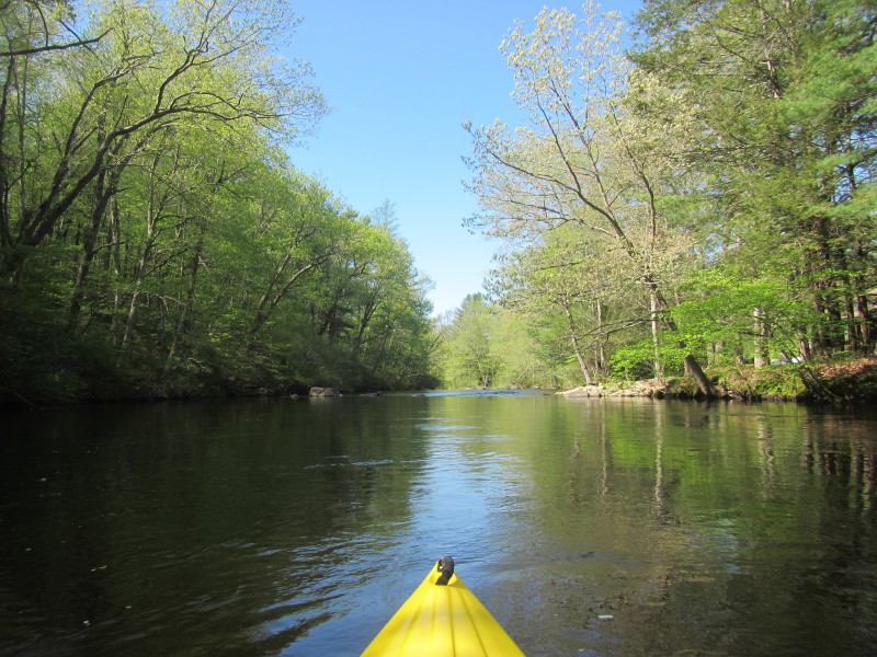
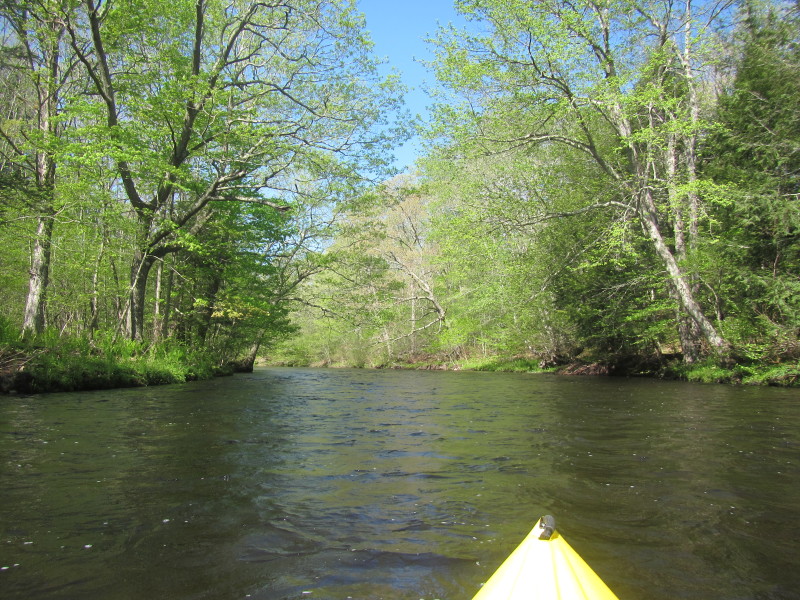
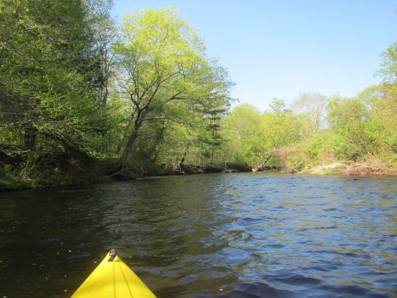
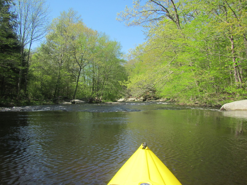
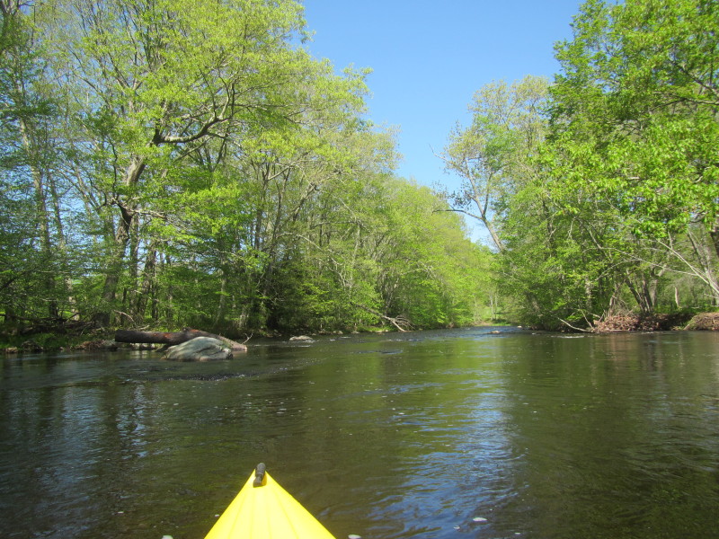
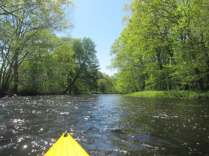
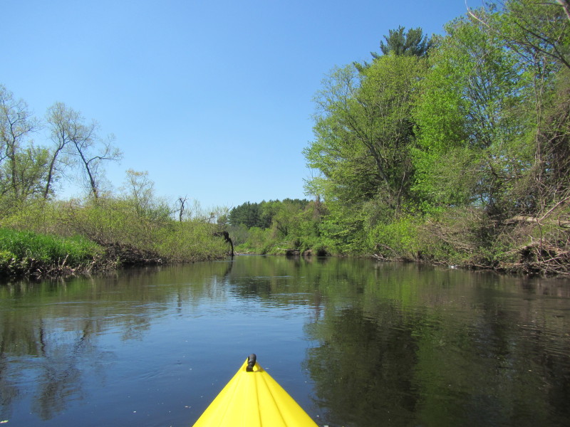
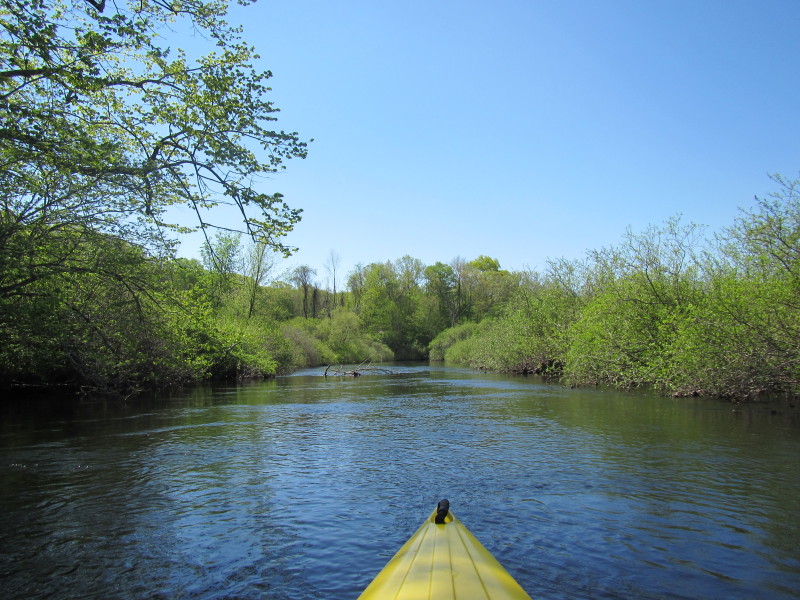
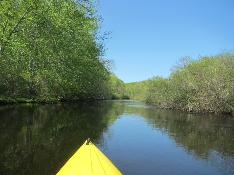
 There was a big rainstorm two days ago and I am just floating on the flowing Natchaug River.

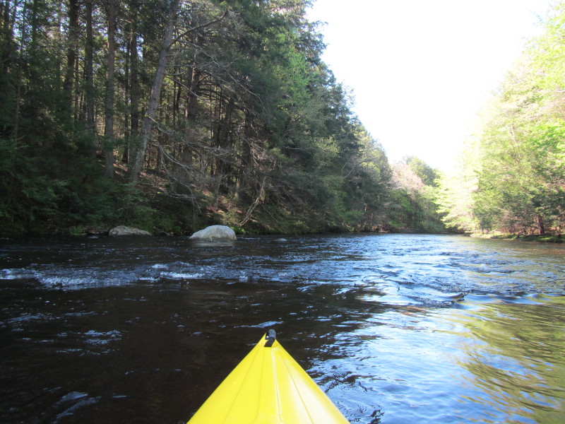
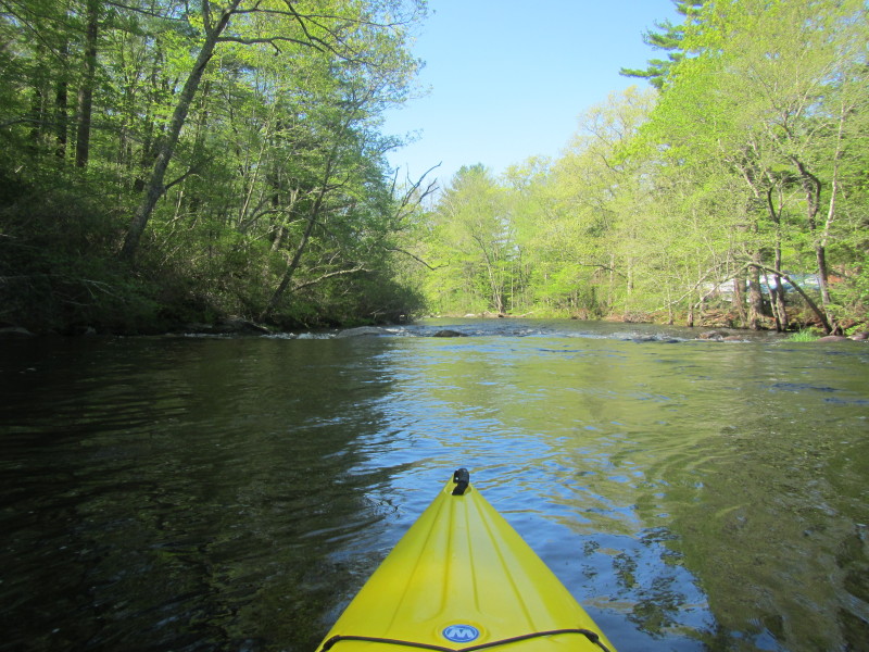
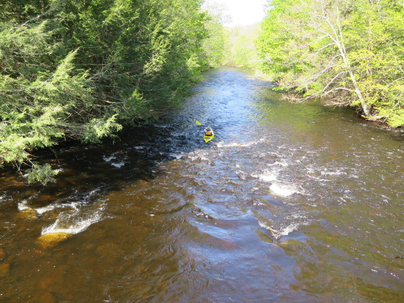
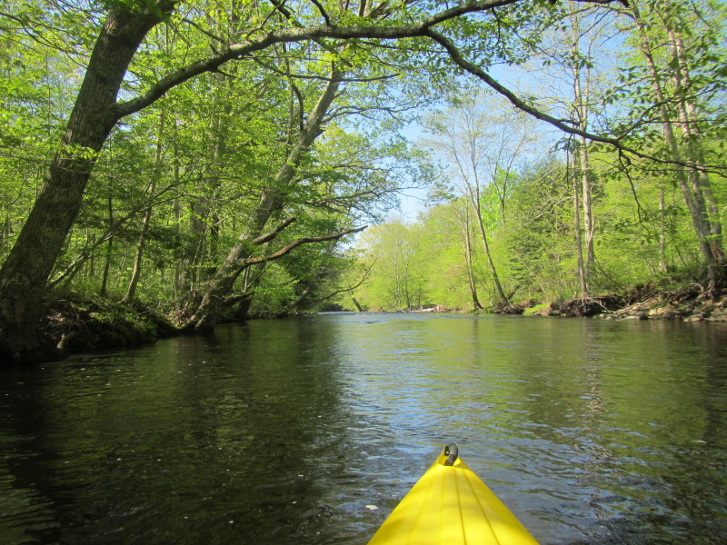
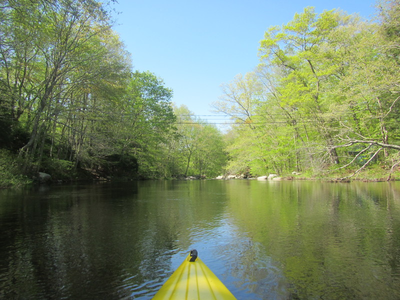
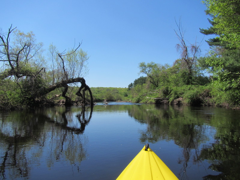
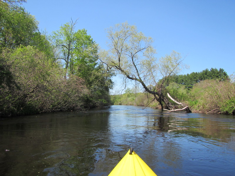
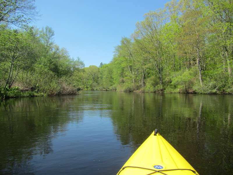
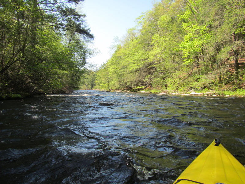 Some rapids in front of me.
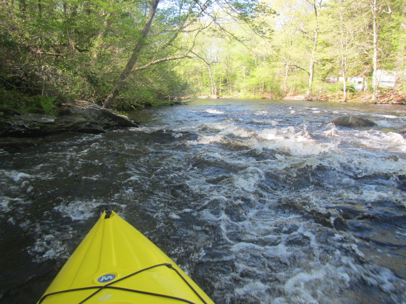
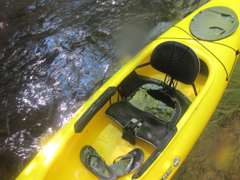
 The big cockpit opening of my kayak did not do me good on this river.
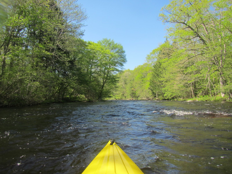
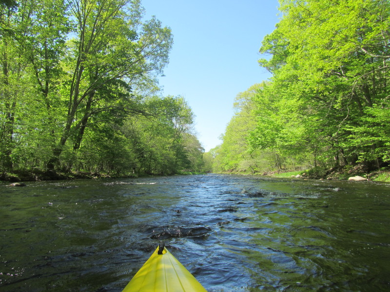
The rapids are splashing in water into my kayak. 
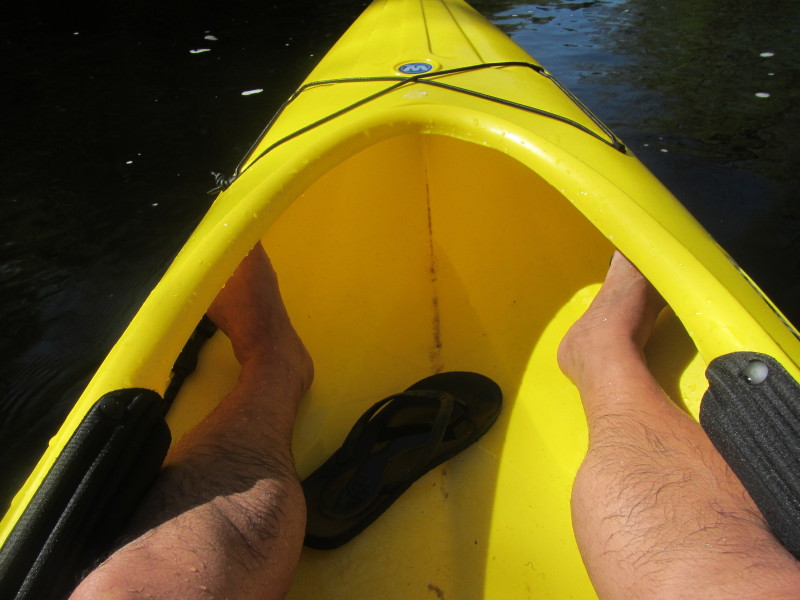 Enough water splashed into my kayak so far to float my slippers!
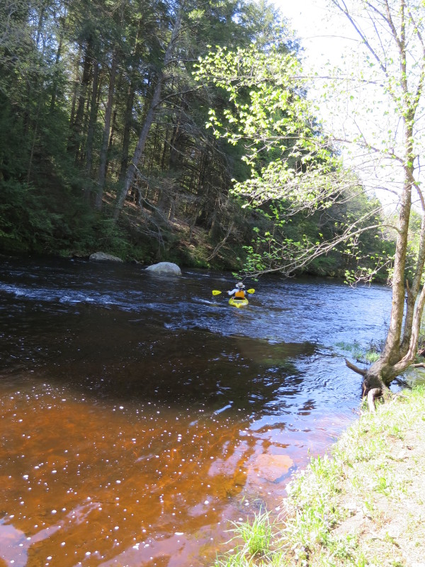
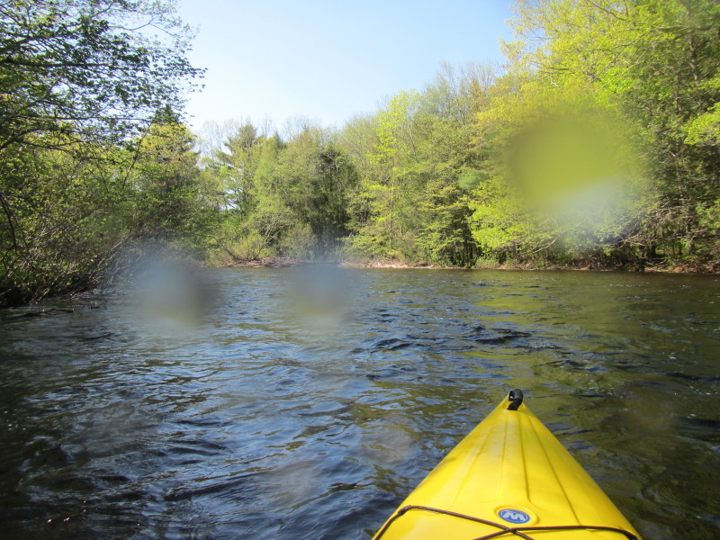
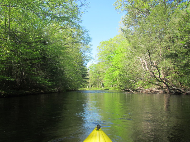
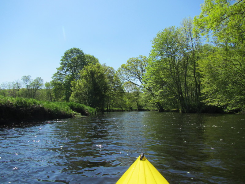
 Will take river left . . .
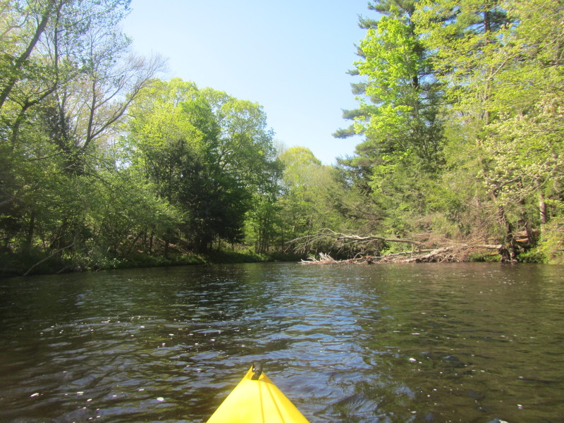
 Got stuck on rocks!
Took the opportunity to record and picture the moment. 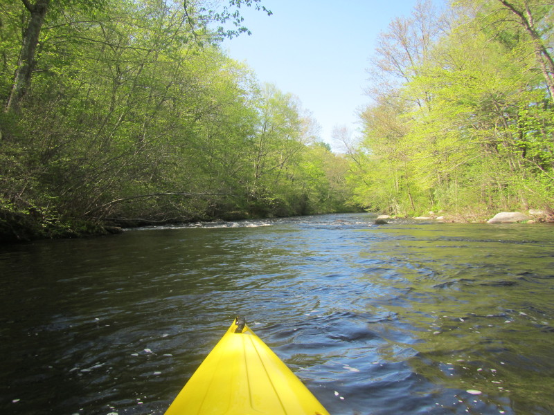
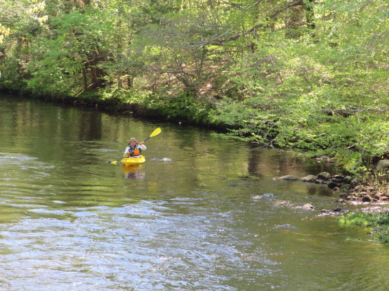
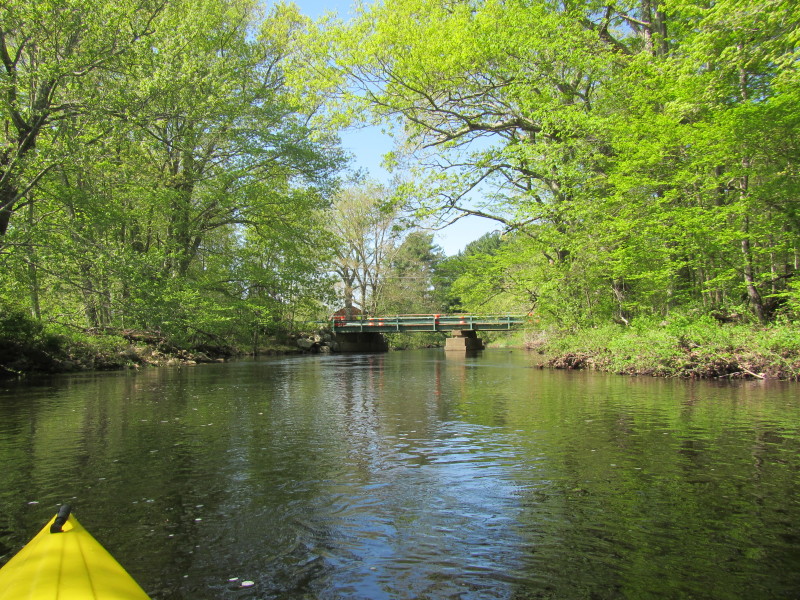
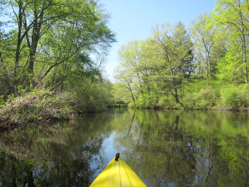
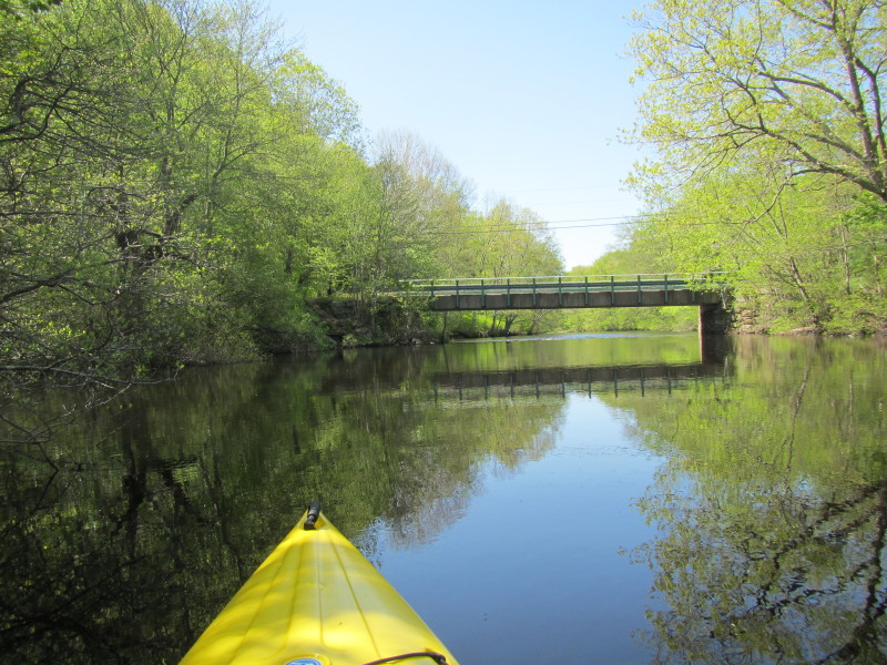
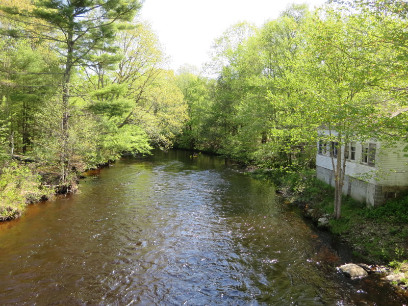 The Boston Kayaker on Natchaug River approaching Morey Road bridge in Eastford CT.
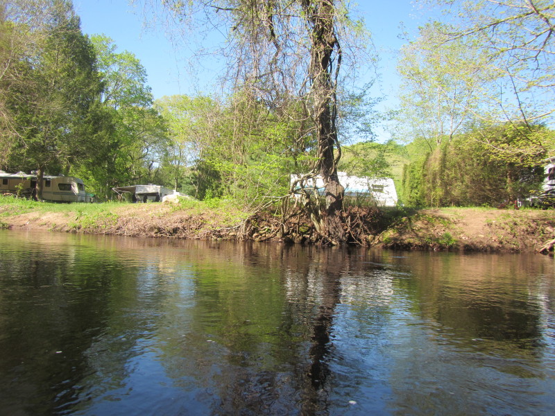
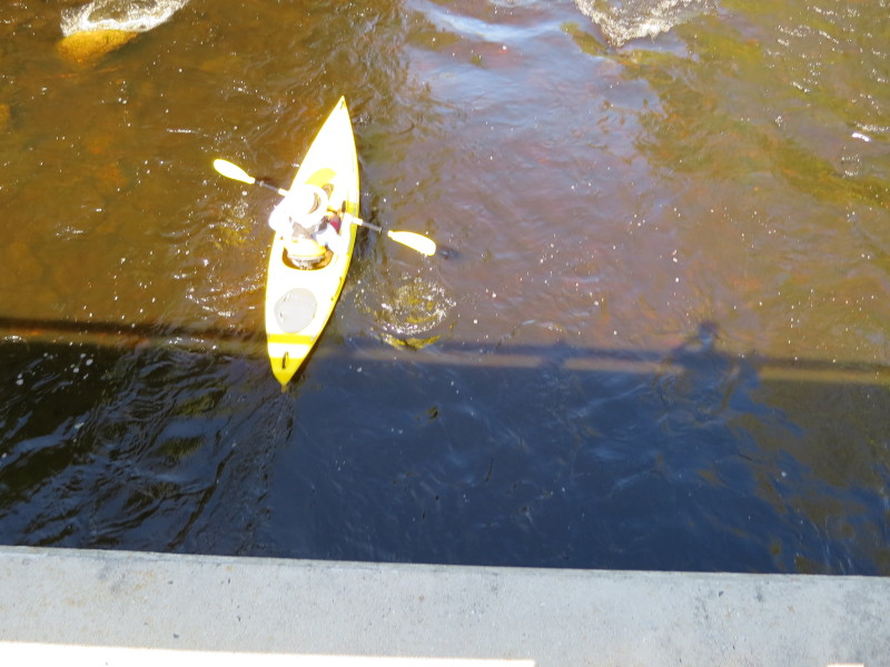
 The Morey Road bridge. I had my son wait for me at the brige to take photos.
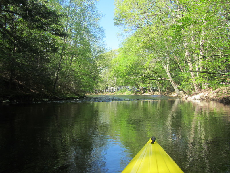
 Now on the downstream side of Morey Road bridge.

 Have to take out to empty the water in my kayak.
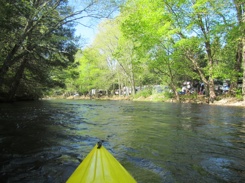
Took a photo above showing water level a few inches above my butt. 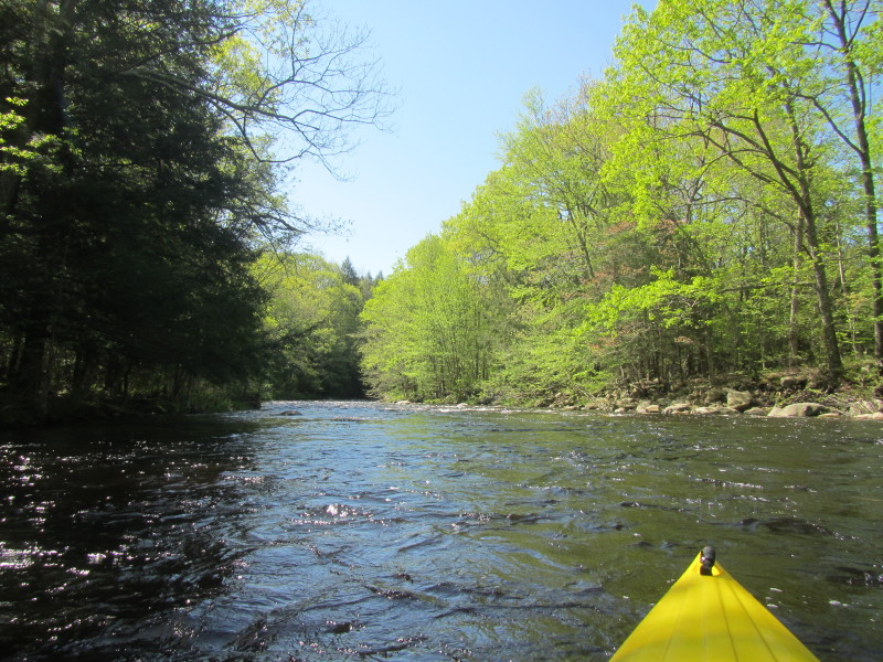 Back on the Natchaug River.
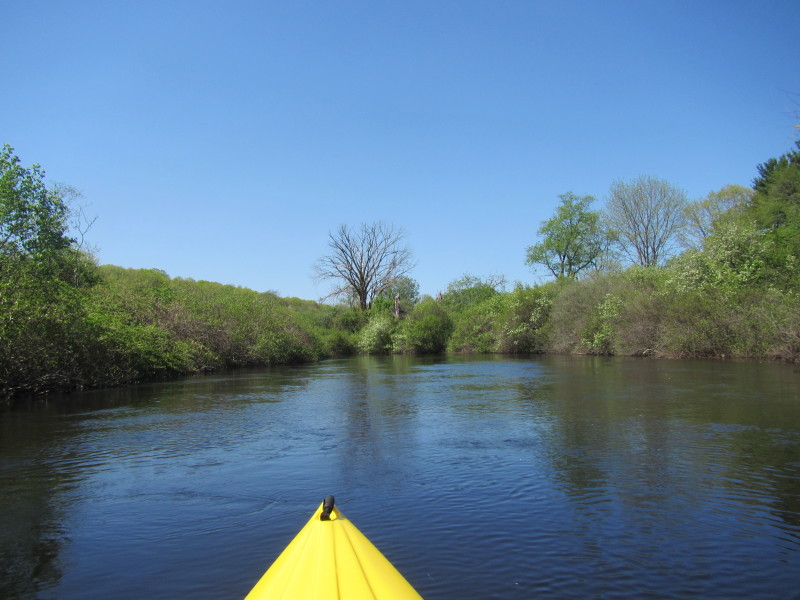
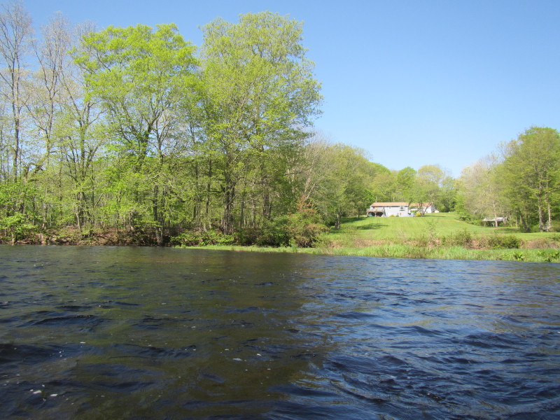
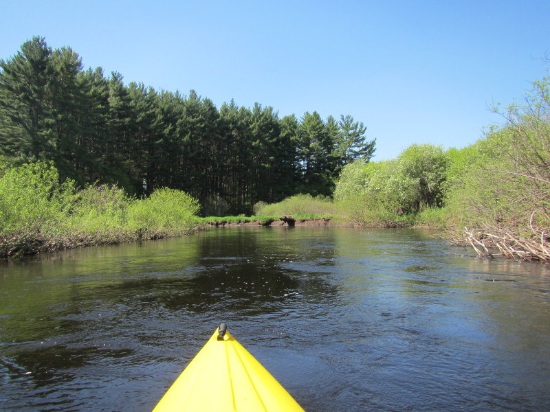
 The North Bear Hill Road bridge.
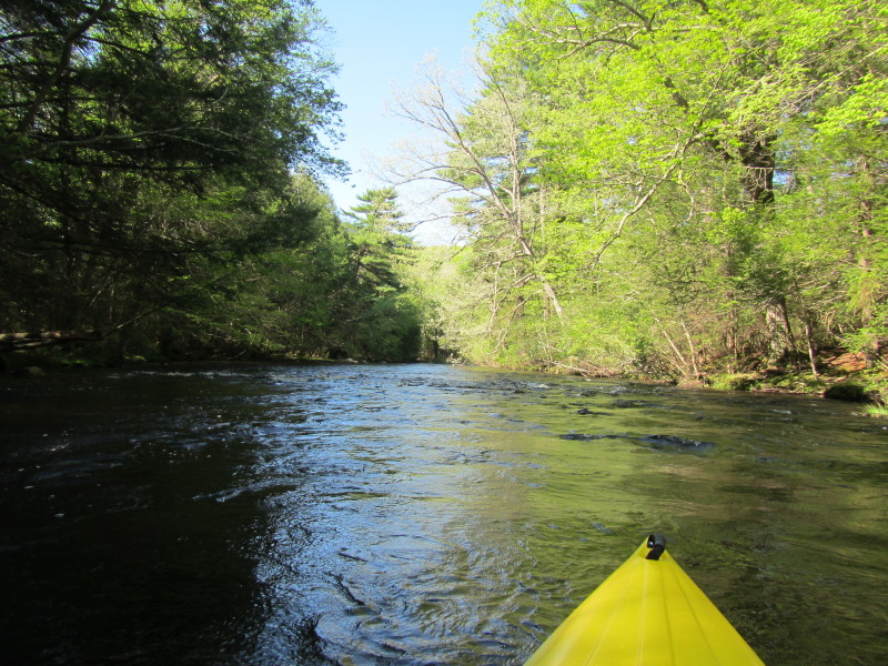
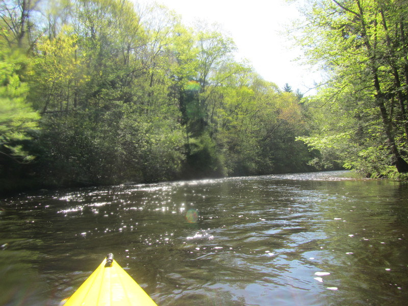
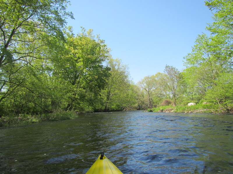
By the way, there seems to be no bridge for Marcy Road . . .? This turned out to be the second bridge I will go under and then take out at the third. 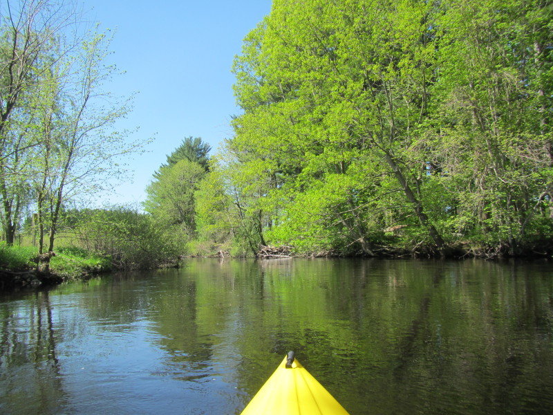 I only noticed later that the river became calm past North Bear Hill Road bridge
and not much water splashing into my kayak to the end of this trip.
I only noticed later that the river became calm past North Bear Hill Road bridge
and not much water splashing into my kayak to the end of this trip.

 Finally, my take-out the England Road bridge is in sight.
 The Boston Kayaker taking out of Natchaug River at England Road in Chaplin CT.
This Natchaug River kayak route took me 1 hour and 10 minutes based on the photo timestamps. 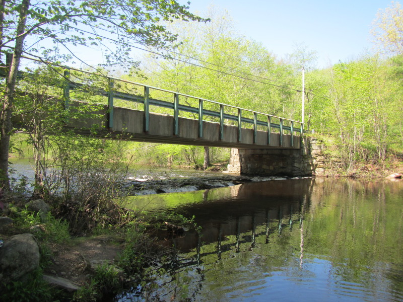 Under the England Road bridge, the Natchaug River drops about 18 inches or so.
|