 Kayaker

|


|
Download printer-friendly
PDF version that fits in one page: |

|
|
Other resources:
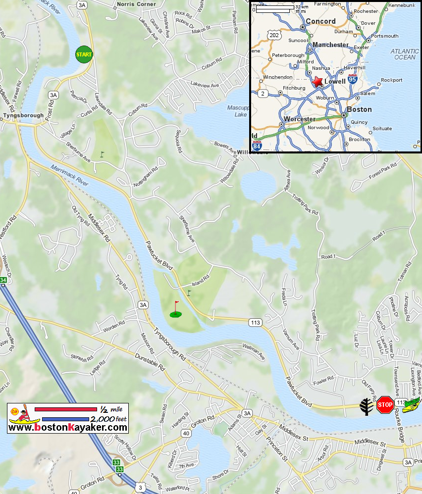
Kayak The Merrimack Trip Report from Nashua NH to Lowell MA Bellegarde Boathouse kayak rentals Merrimack River Watershed Council All photos in this website are original and copyrighted. 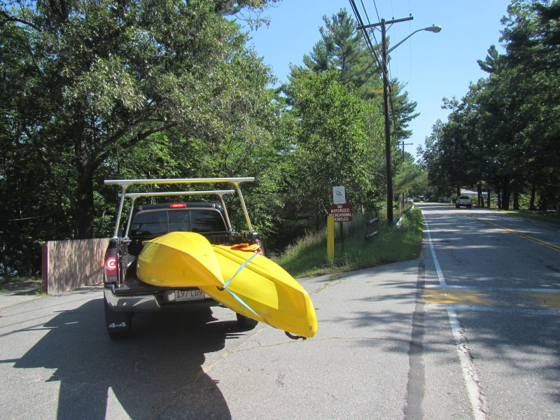 At the entrance to the unnamed park on Frost Road in Tyngsboro MA.
Trip date is August 2015. 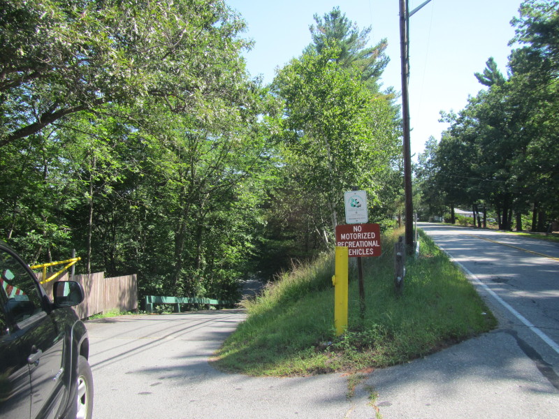
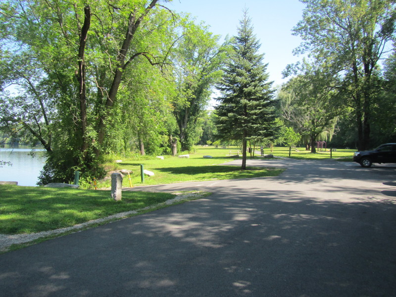 This unnamed park have some trails, playground, benches.
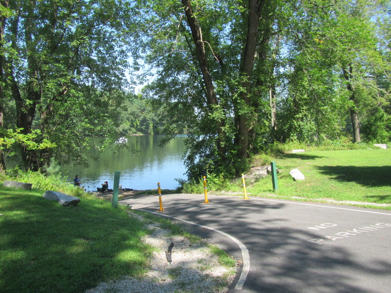 The access to the Merrimack River.
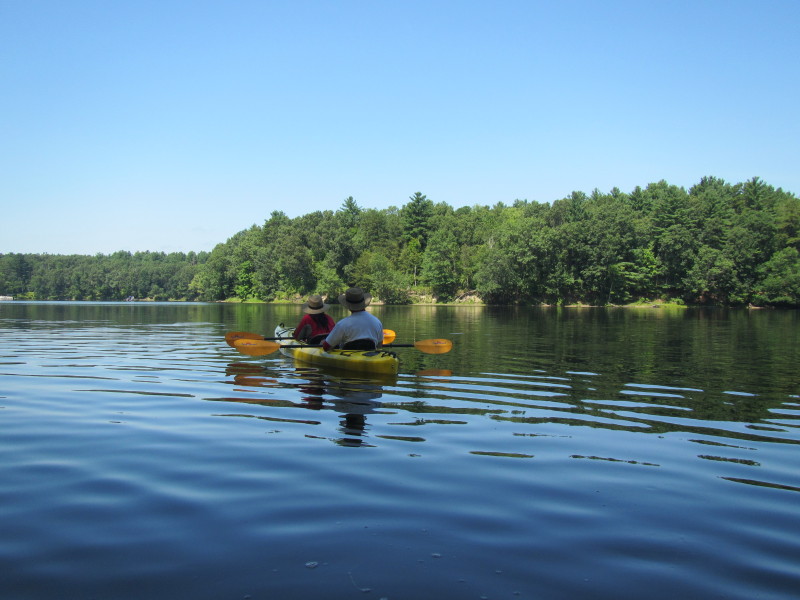
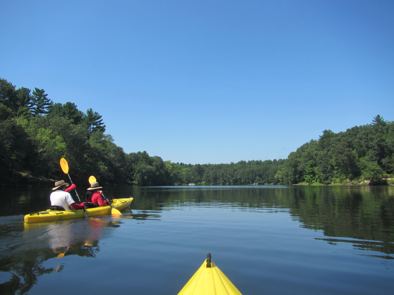
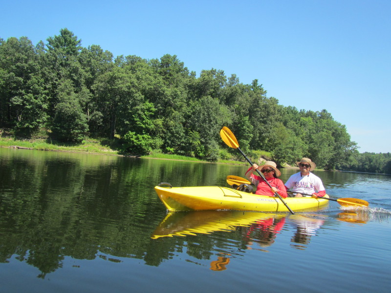
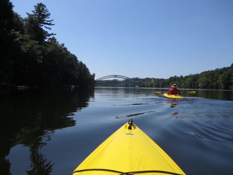
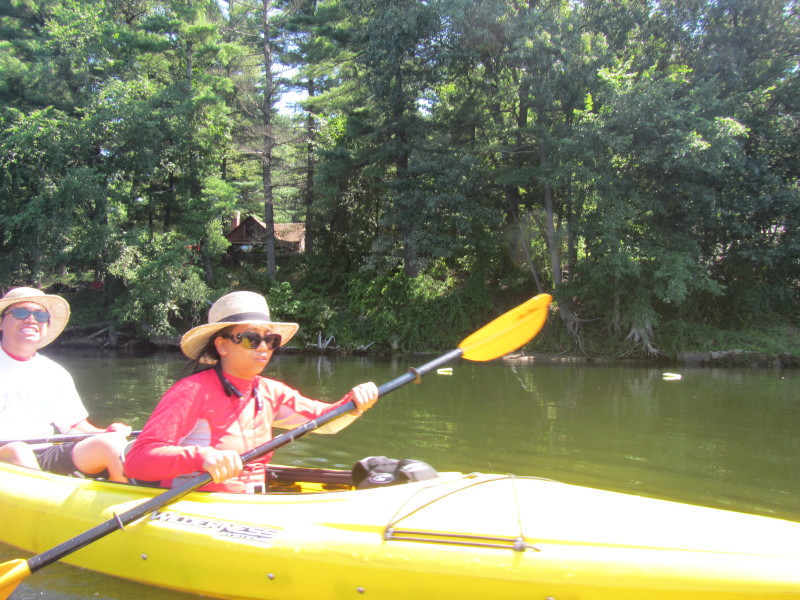
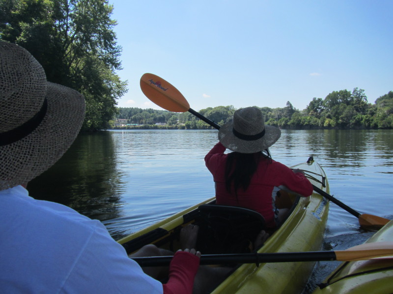
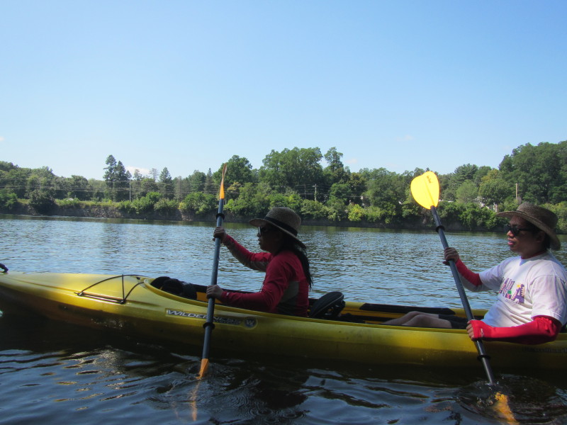
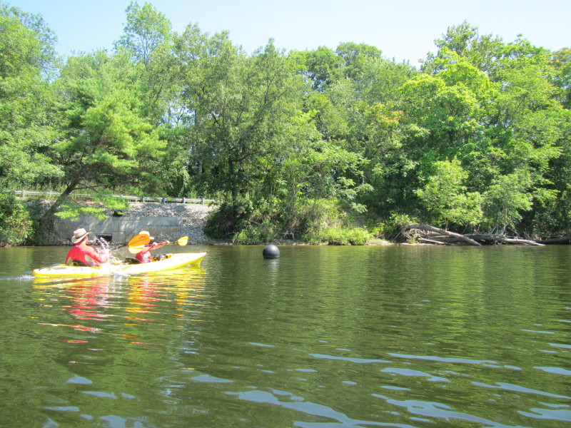
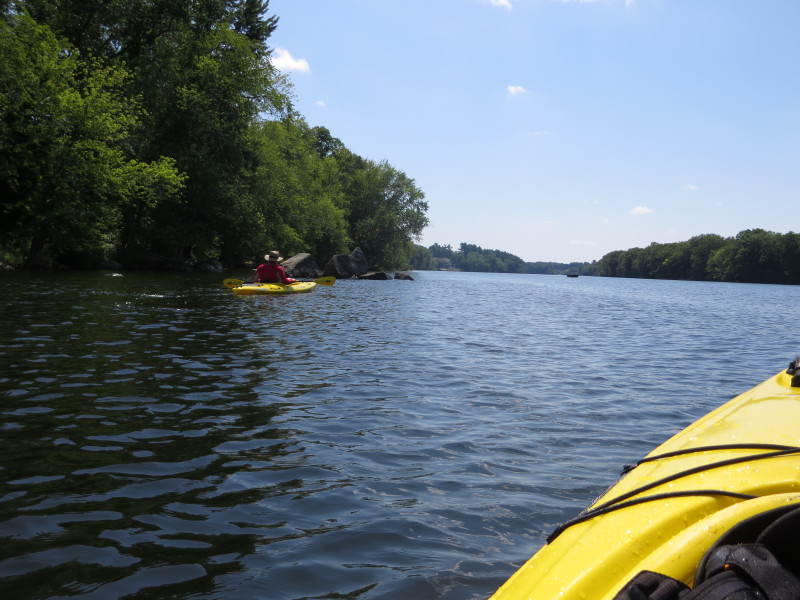
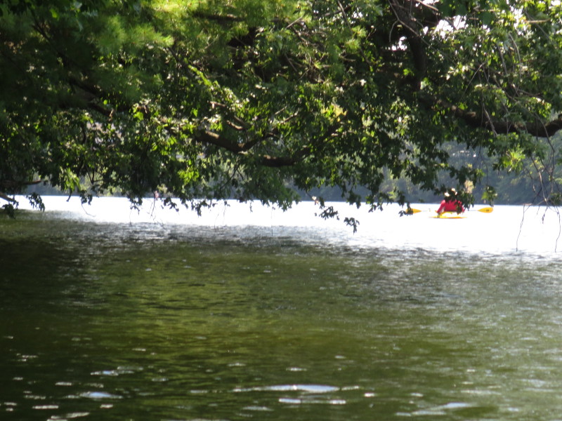
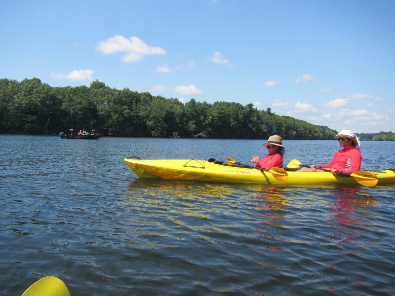
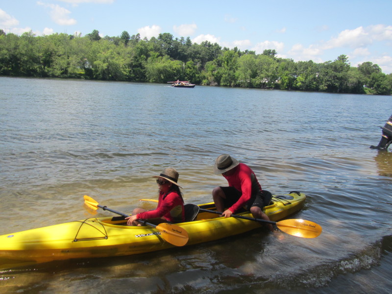
 The Boston Kayaker's son and daughter will join their dad on this trip!
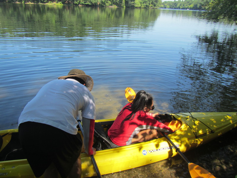
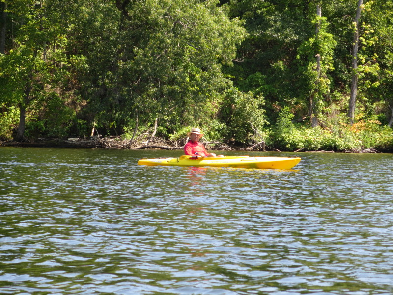
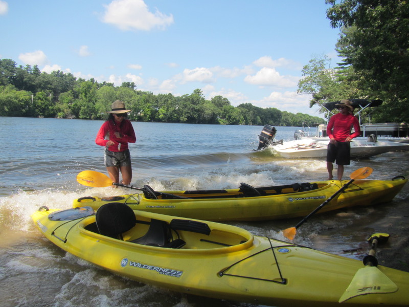
 The Boston Kayaker launching on the Merrimack River at the state access in Tyngsboro MA.
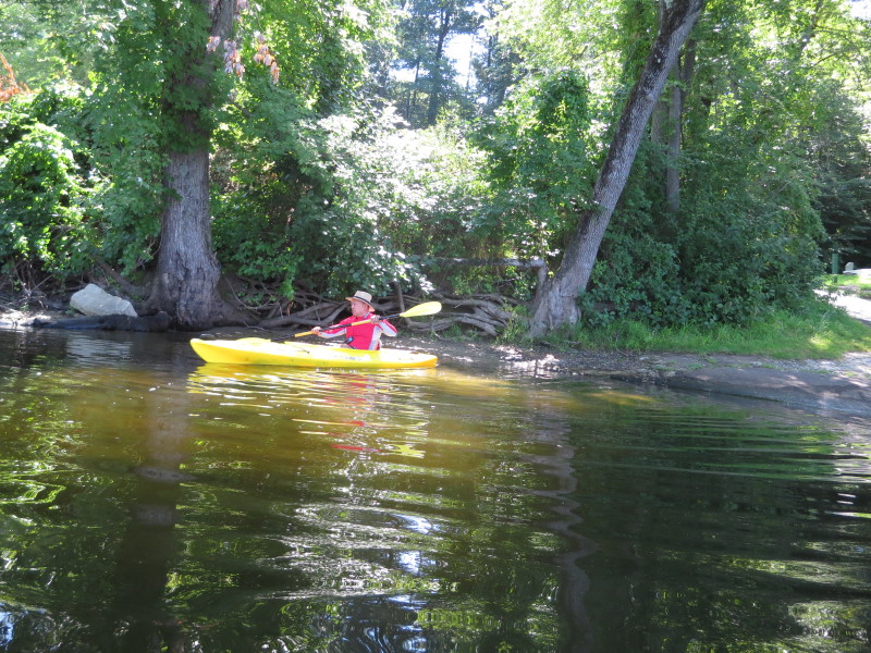
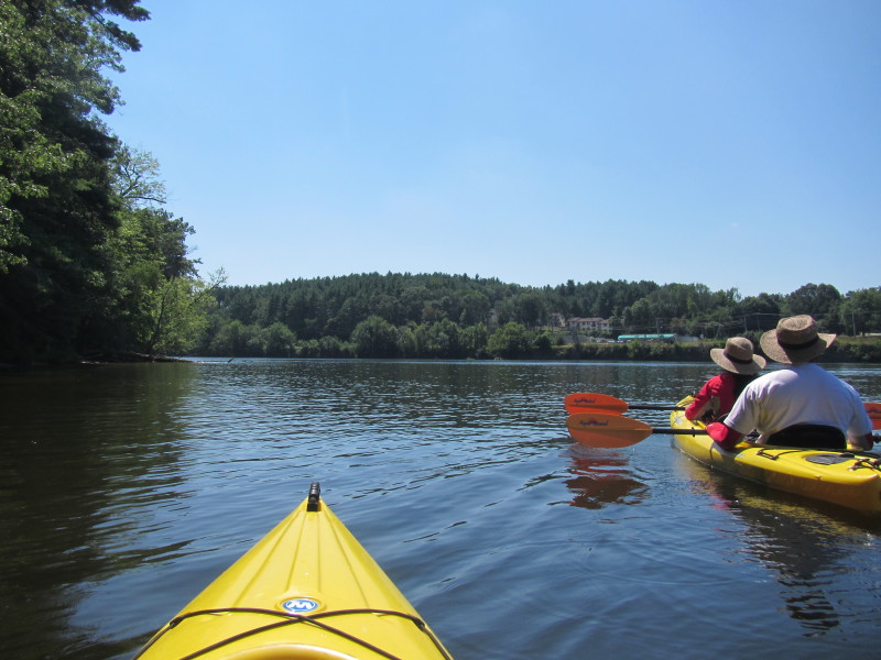
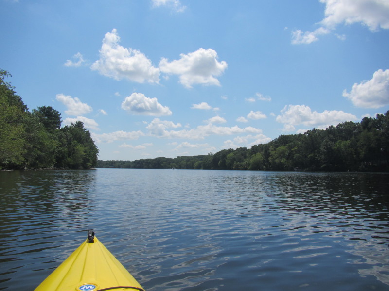
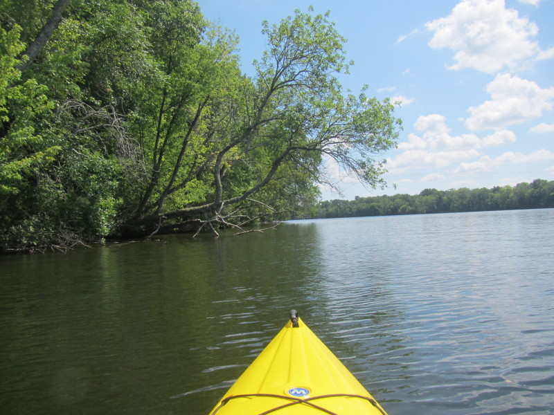
 We paddled to the left and will go with the flow for a one way trip.
 It is a hot day at about 90 degrees F.
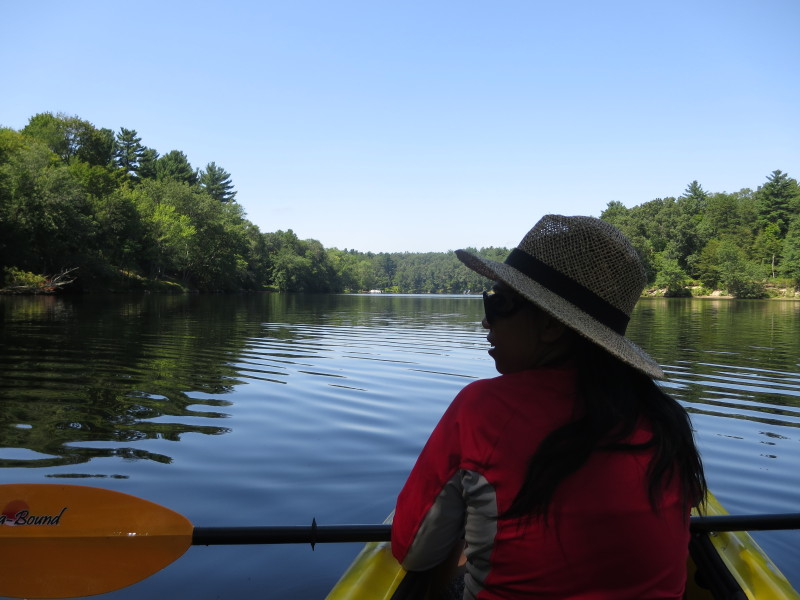
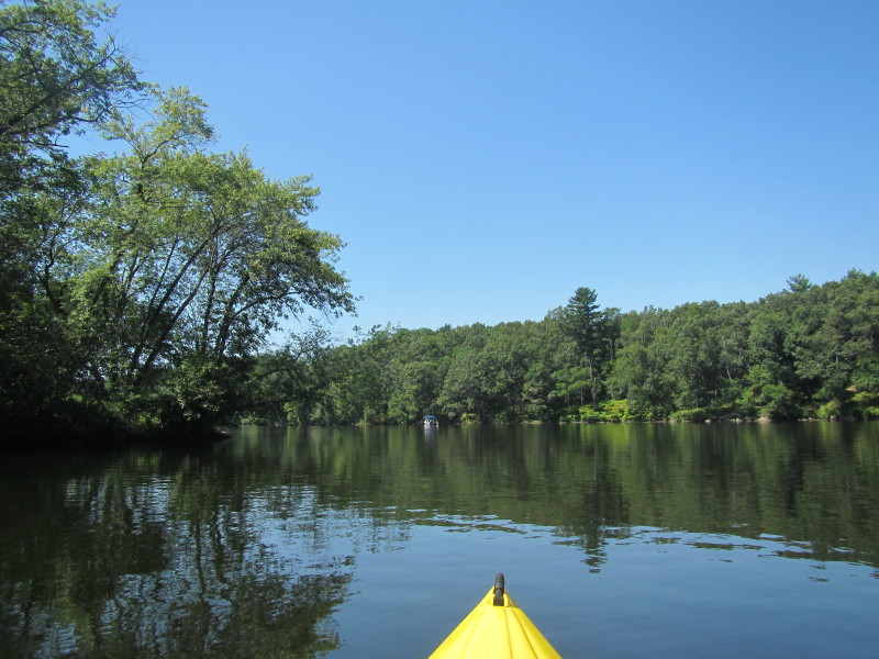
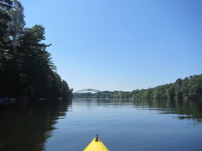
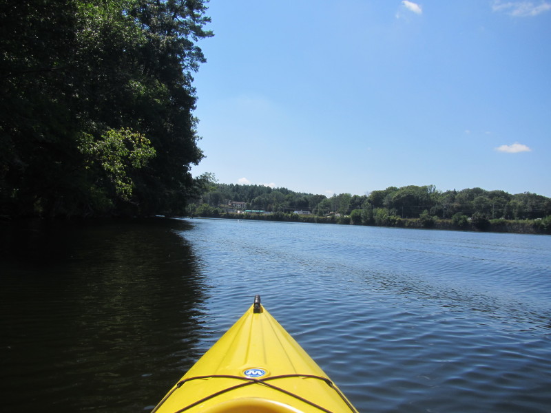
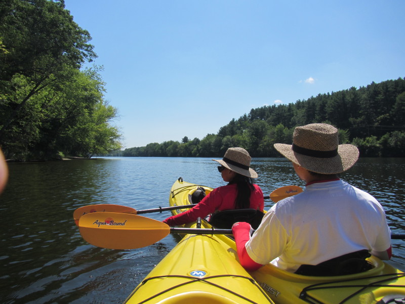
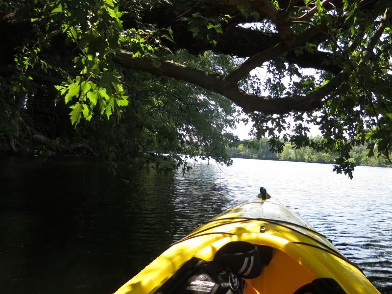
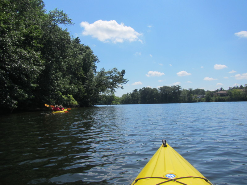
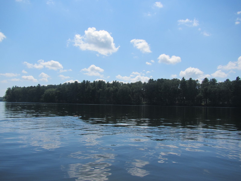
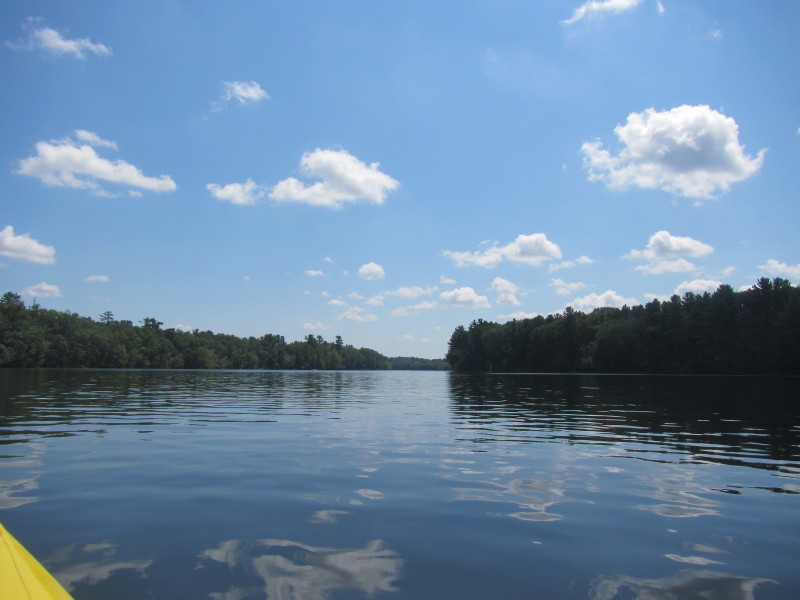
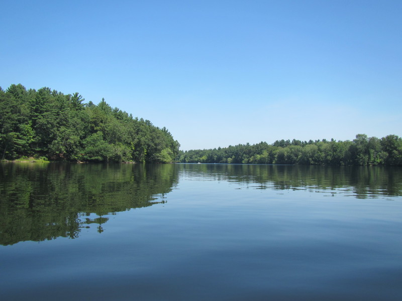 Today, the Merrimack River is lake-like with imperceptible flow.
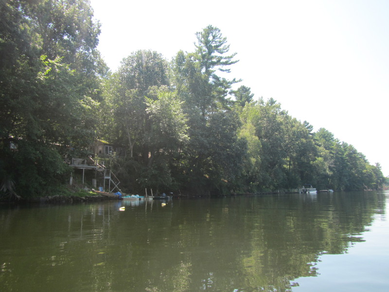
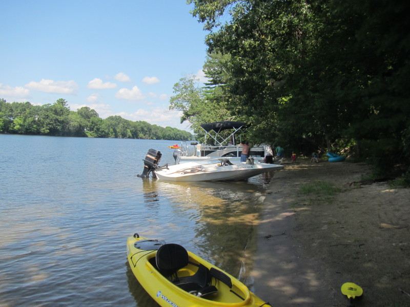
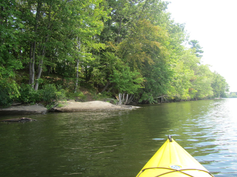
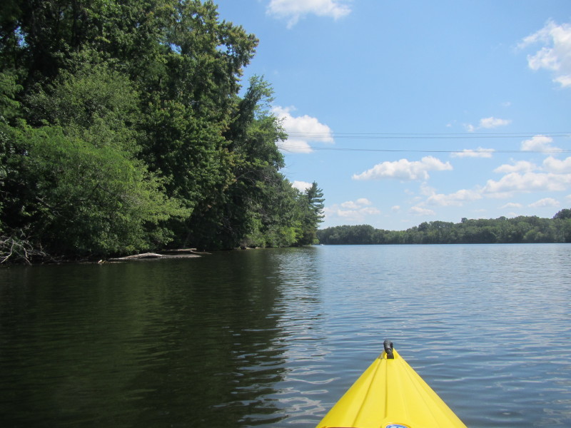
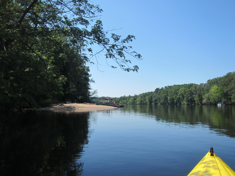 A sandy beach. Not sure if this is private or public . . . ?
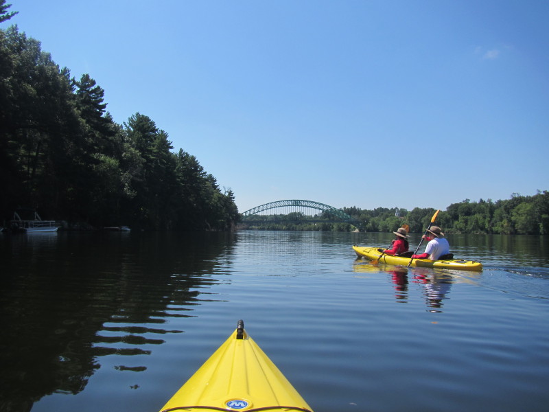
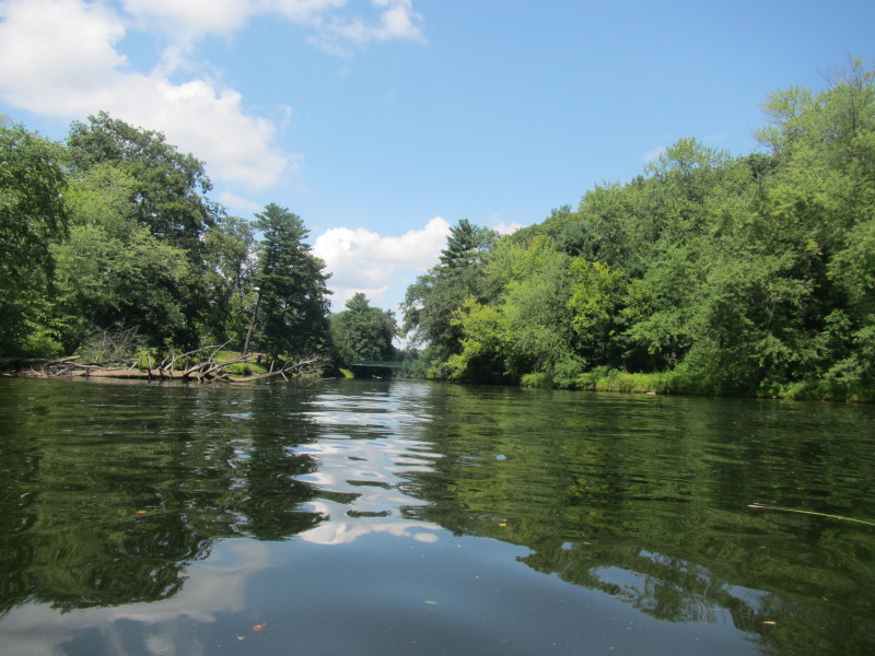
 The Frost Road bridge over the Merrimack River in Tyngsboro MA.
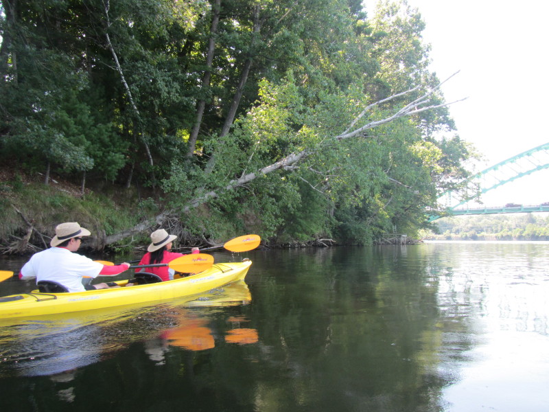
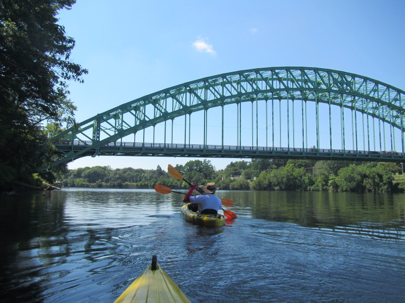
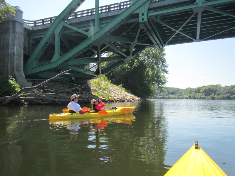 Passing under the Frost Road bridge.
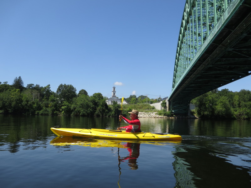
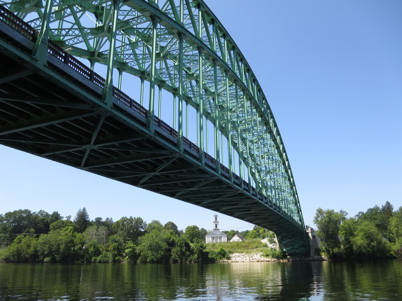 Frost Road bridge.
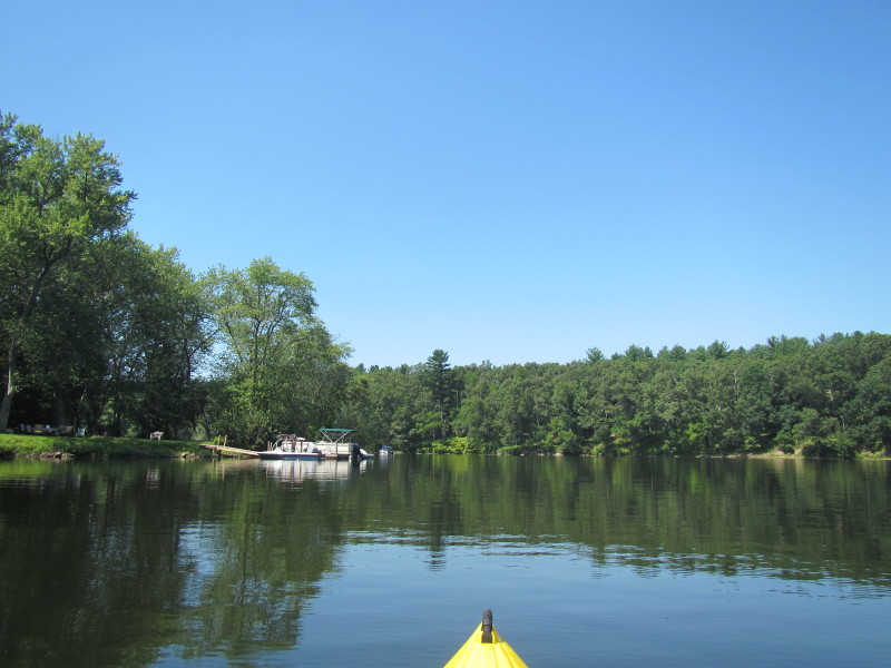
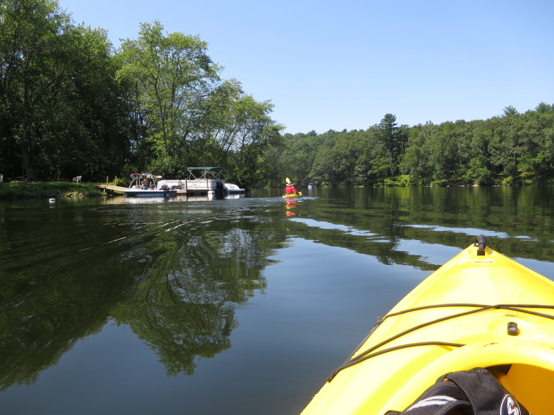
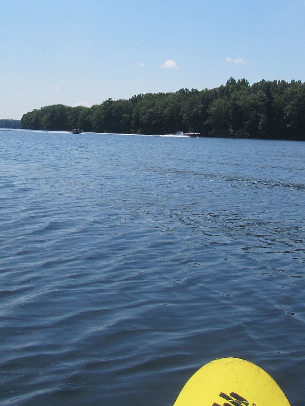
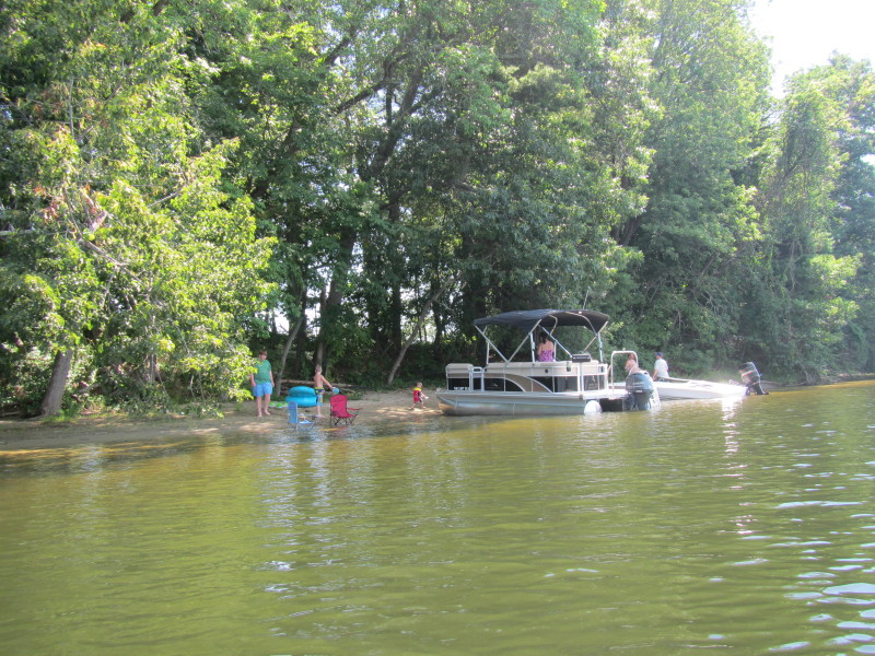
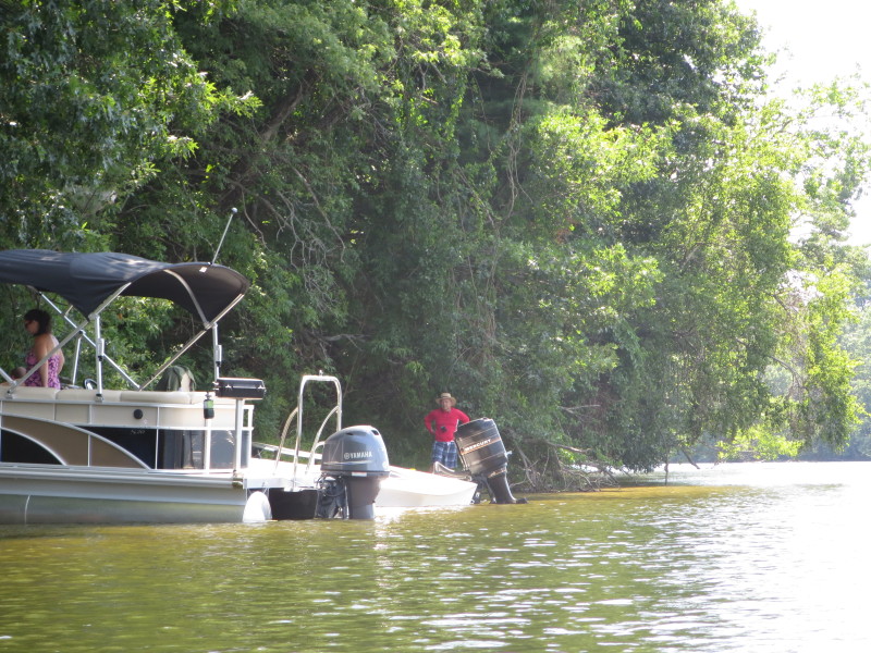
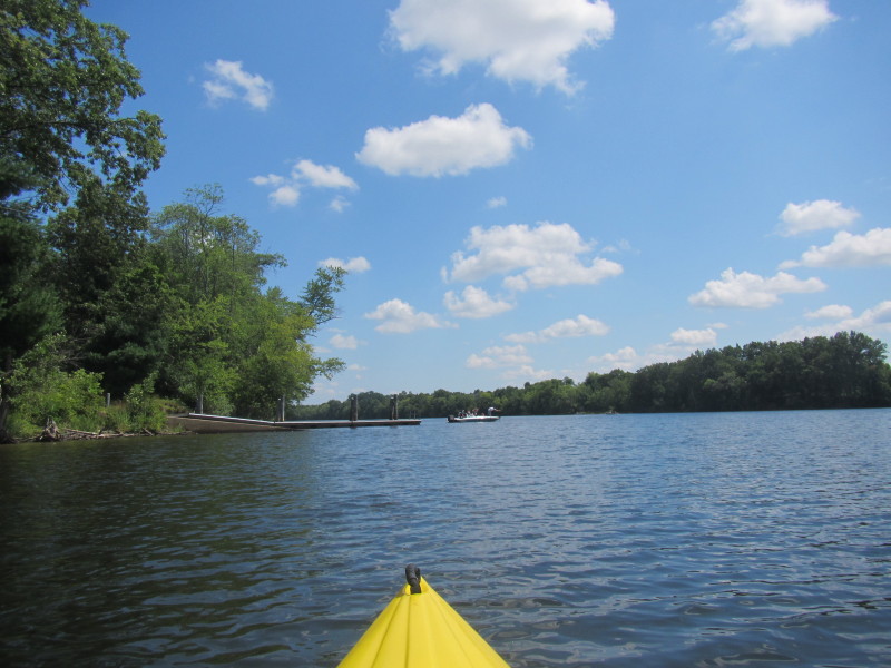
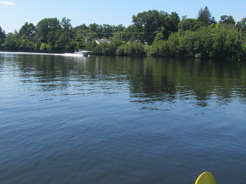 Powered boats on the Merrimack River.

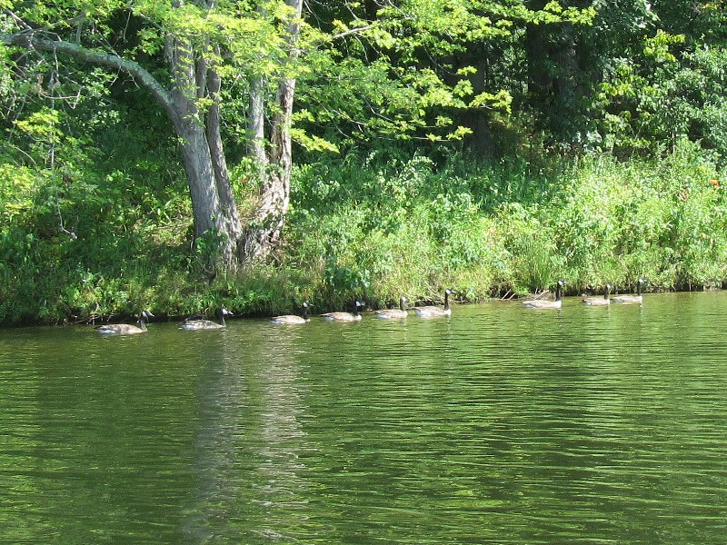 Ducks on Merrimack River.
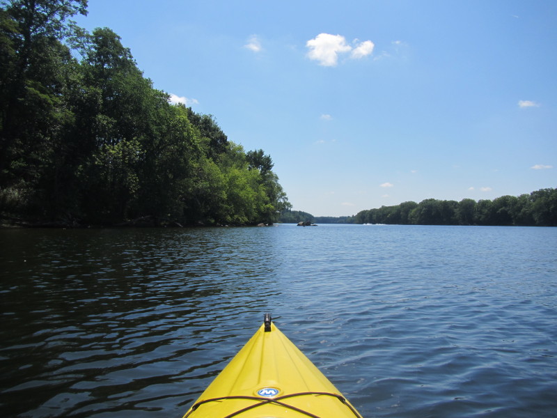
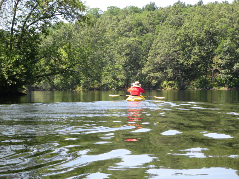
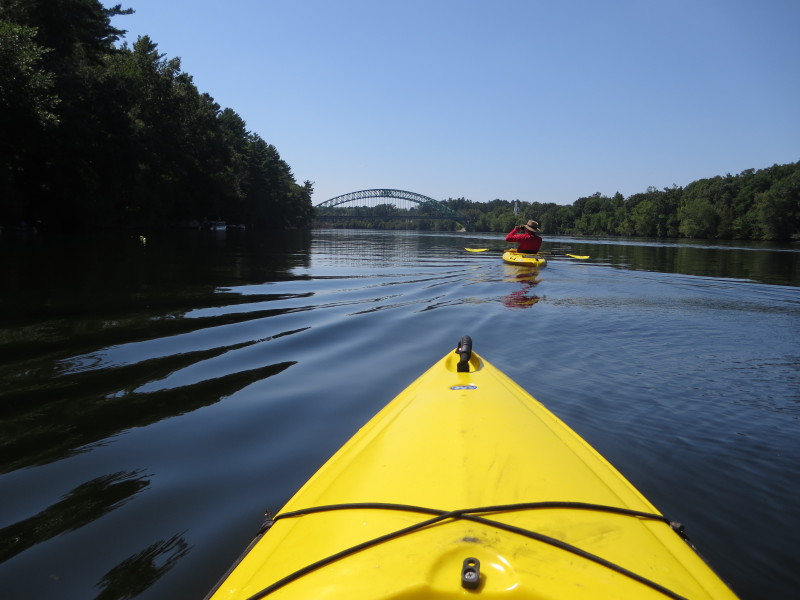
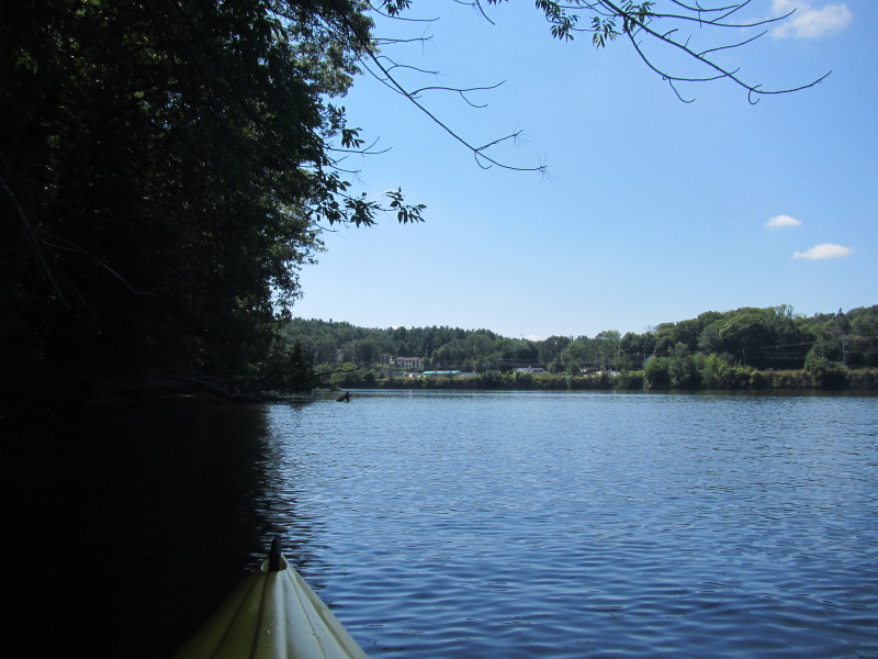
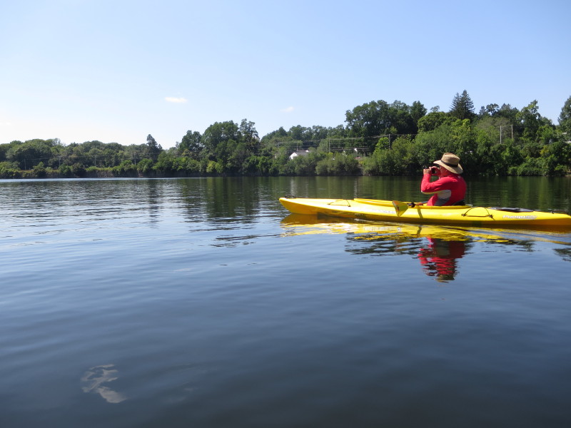
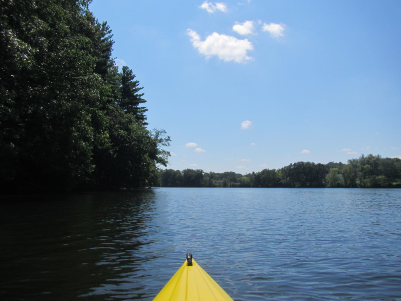
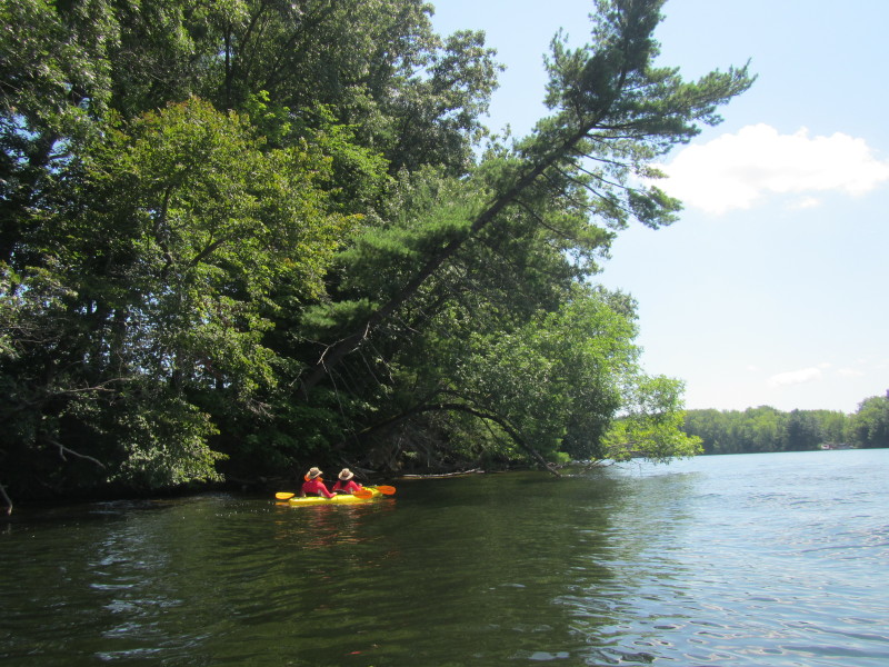
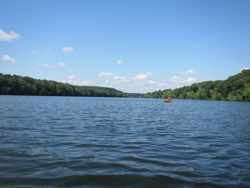 Looking behind me . . .
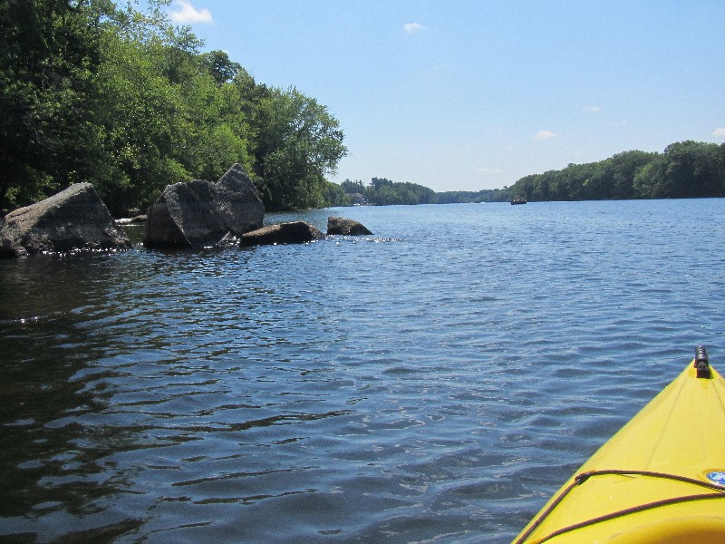
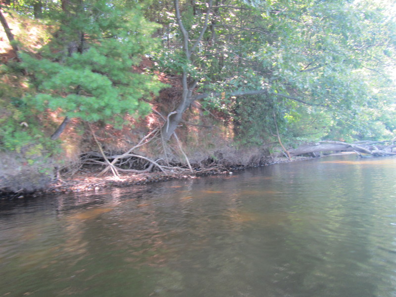
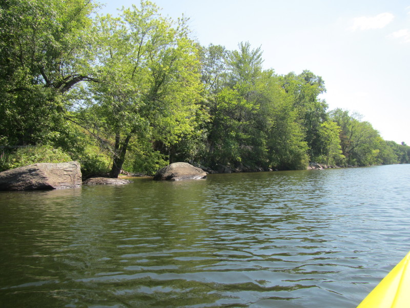
 A rock garden on the Merrimack River.
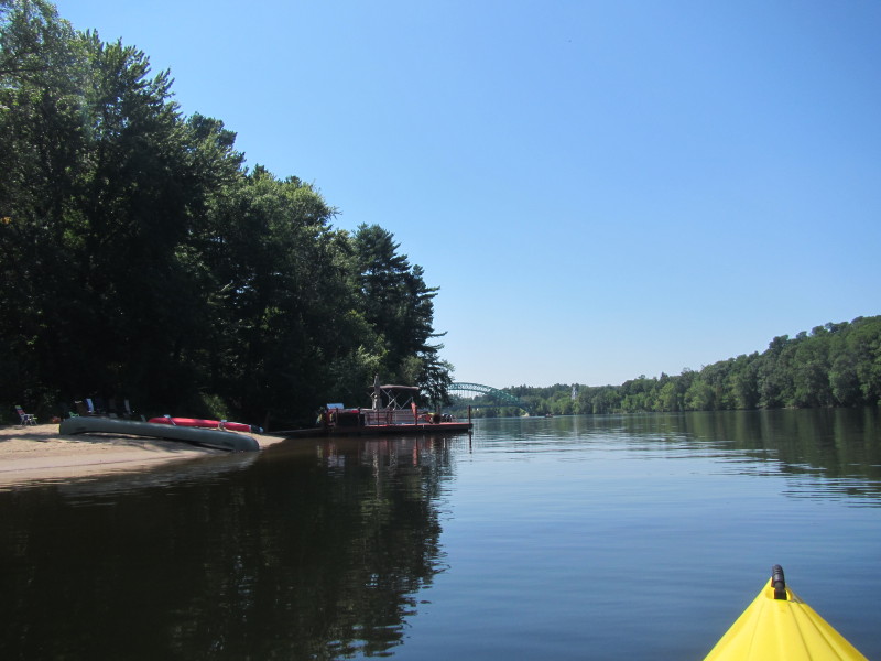
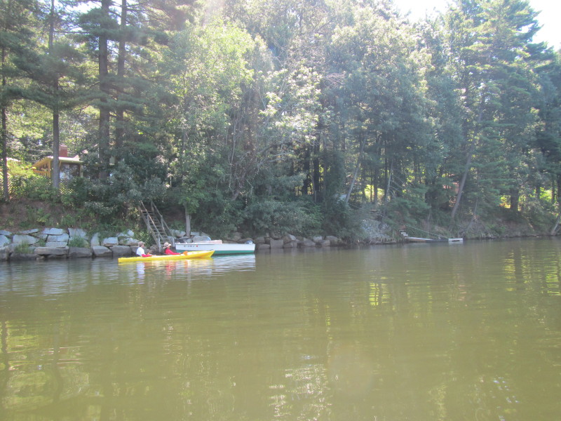
 A nice sandy beach that appears to be public!
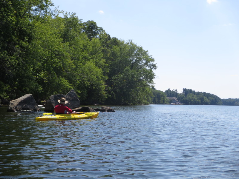
 The Boston Kayaker beaching on the east bank of the Merrimack River.
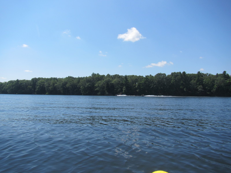
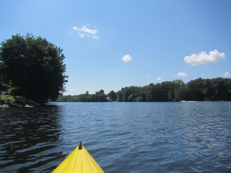
 That powered boat at the distance will produce the wake below . . .
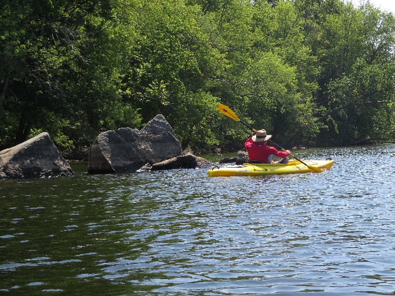
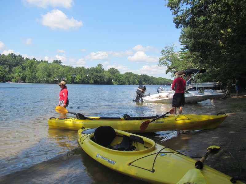
 Going back to our kayaks.
 This is looking to my rear right where the Merrimack River branched off to both sides of this island on left.
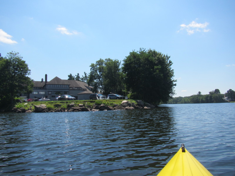
That green bridge are for the golfers. 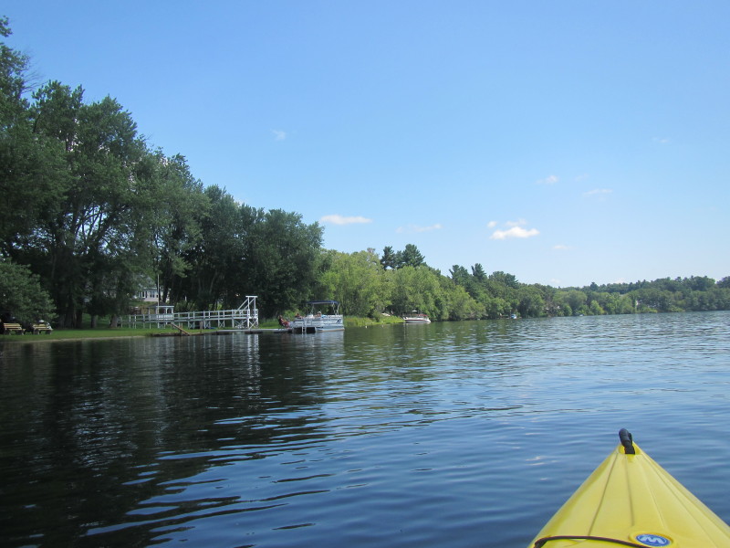
 Looking to my right at the west bank of Merrimack River.
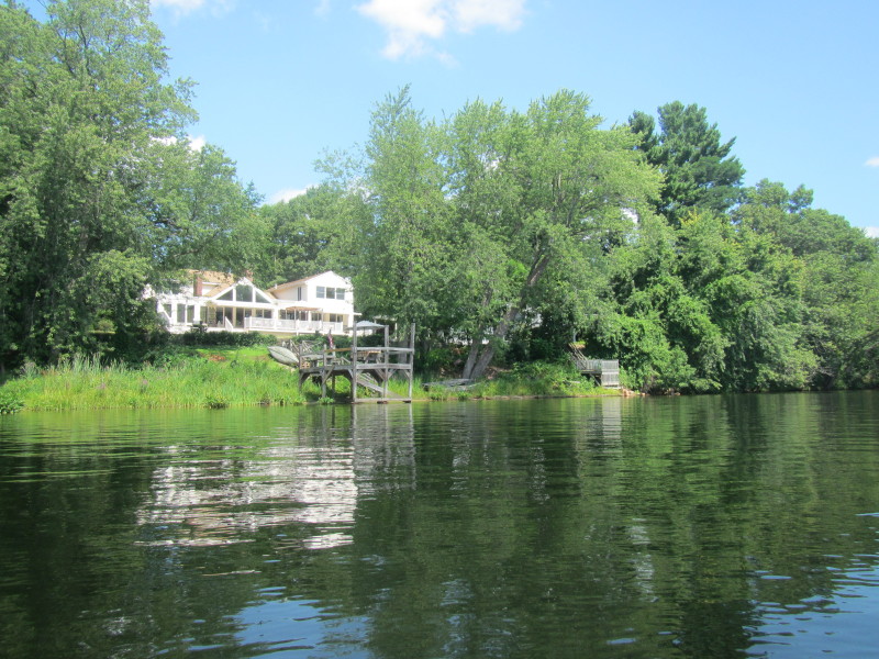
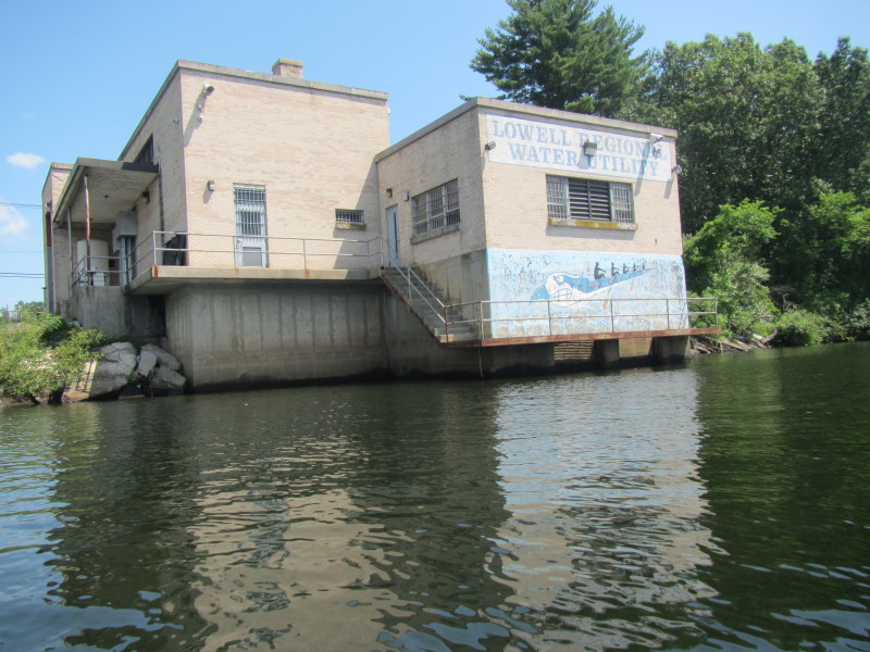 Lowell Regional Water Utility building on the Merrimack River.
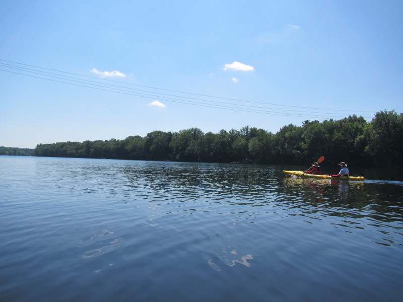
 I scouted earlier the takeout and saw these power lines.
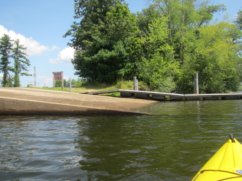
I know the takeout ramp is within site as soon as I get at the power lines. 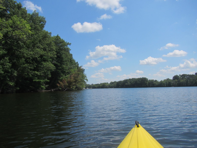 Now I can see the takeout ramp at Lowell MA.
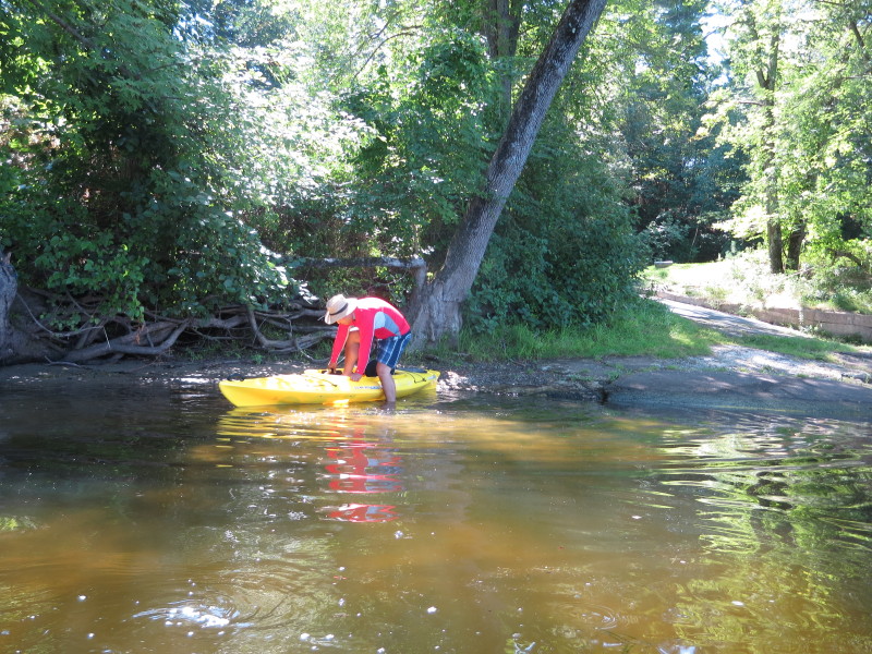
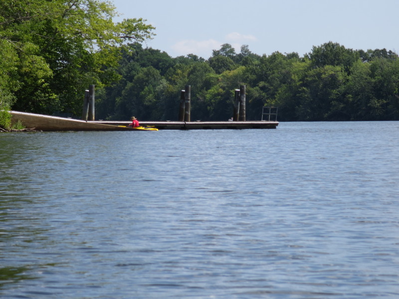 The Boston Kayaker has landed.
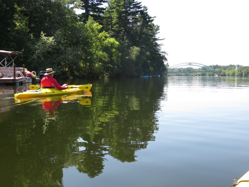
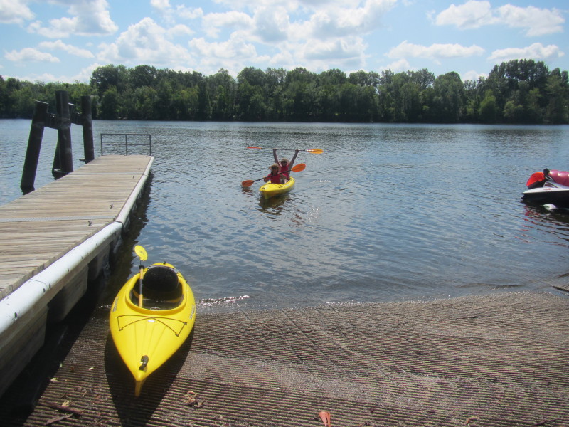
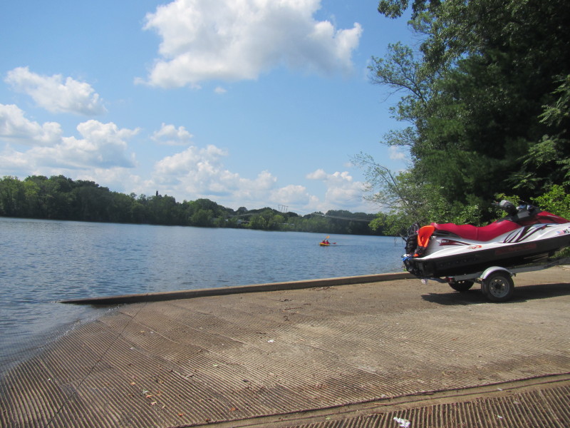 The Boston Kayaker's son and daughter now approaching.
 Trip time is 1 hour and 36 minutes by the timestamps in the photos.
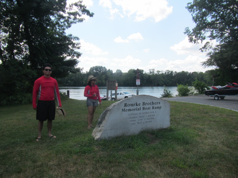 The marker at Rourke Brothers Memorial Boat Ramp on Route 113 in Lowell MA.
|