 Kayaker

| |||||||||||||||||||||||


|
Download printer-friendly
PDF version that fits in one page: |

|
|
Other resources:
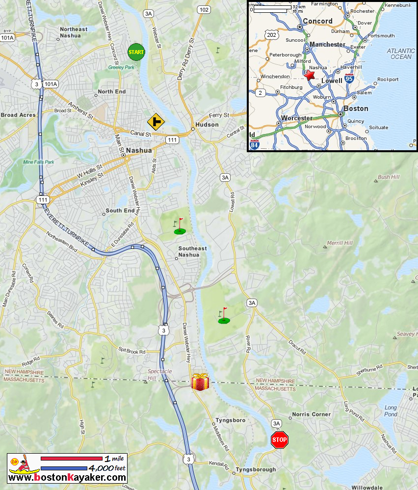
Kayak The Merrimack Trip Report from Nashua NH to Lowell MA Merrimack River Watershed Council All photos in this website are original and copyrighted. 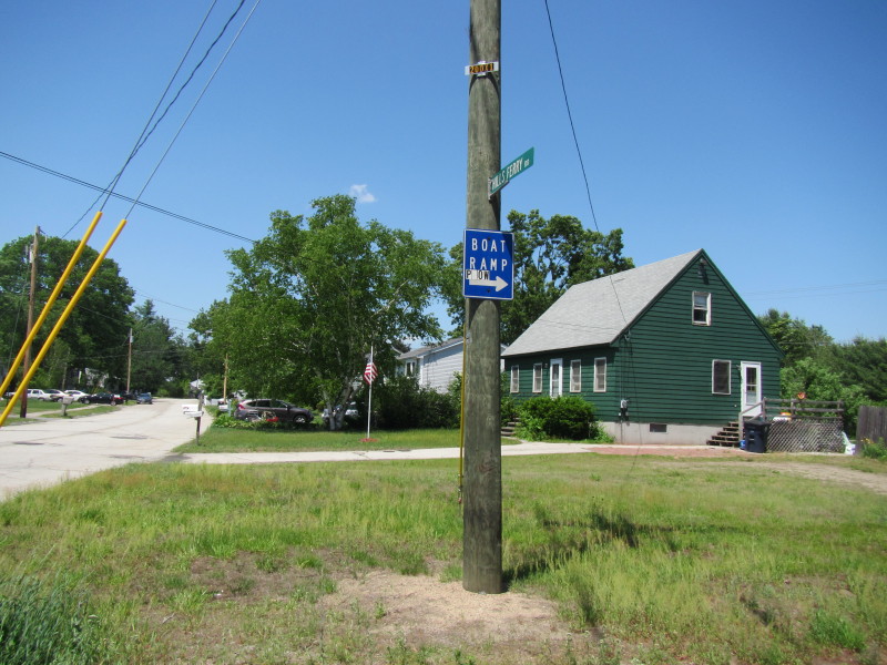 The boat ramp sign on Hills Ferry Road in Nashua NH.
Trip date is May 2018. 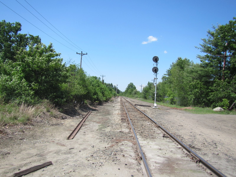 Need to cross a railroad tracks.
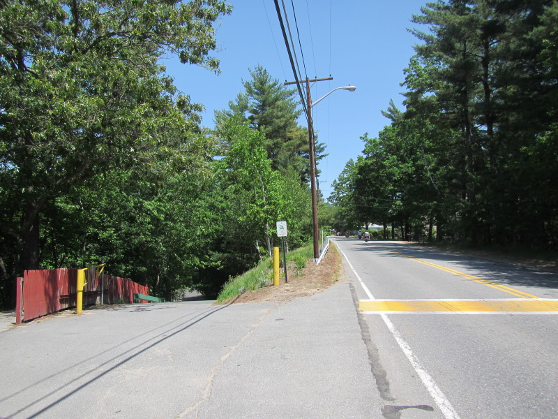
 The entrance to the gravel toad to the ramp. About 1/8 of a mile of very bumpy road.
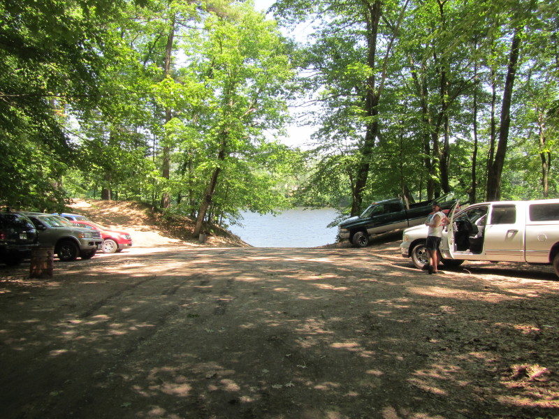 The Greely Park boat launch area.
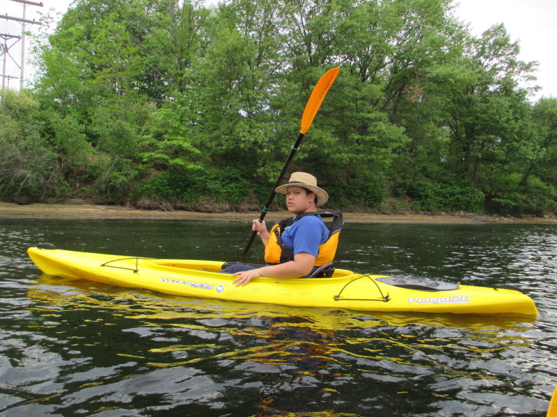
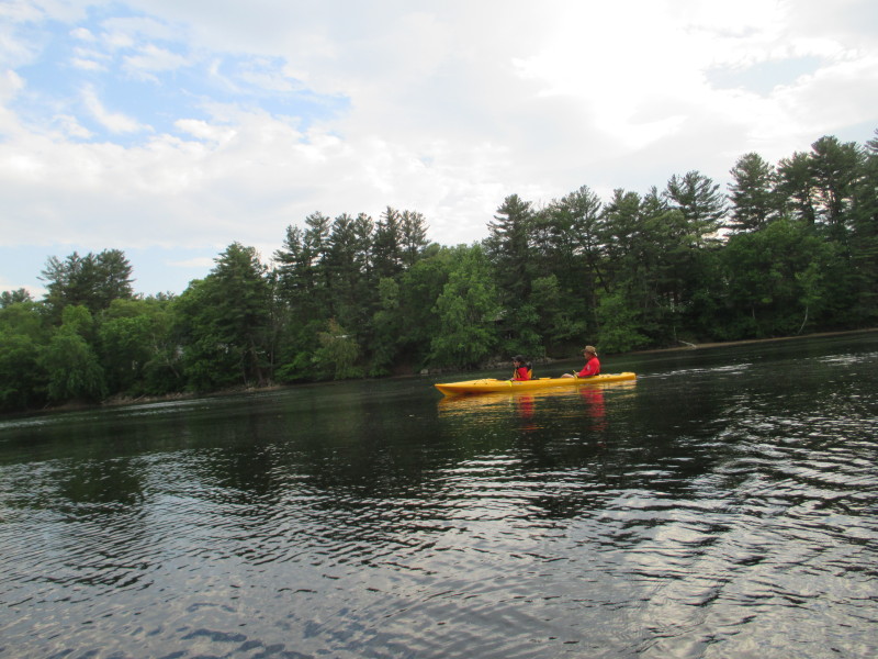
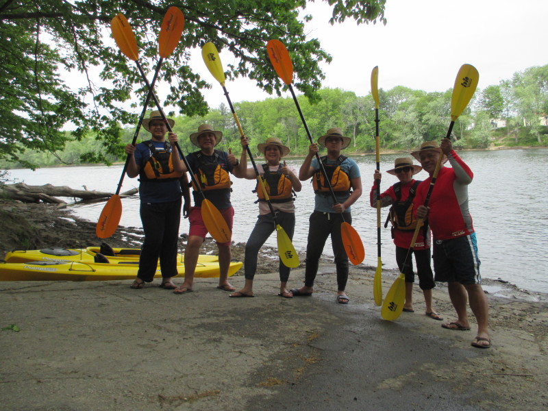 Today's kayak buddies are my friend's family from the Philippines and the Boston Kayaker's wife.
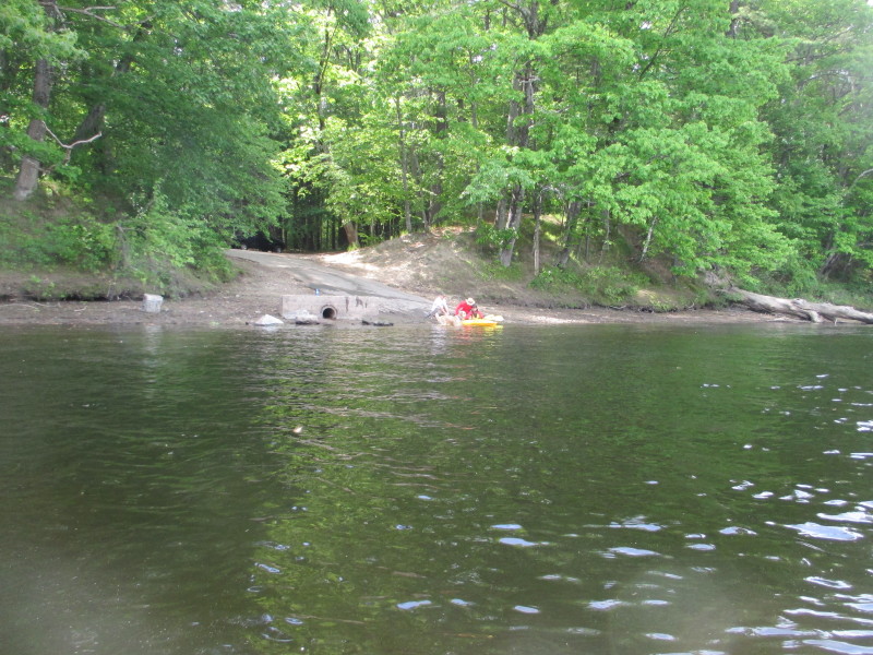
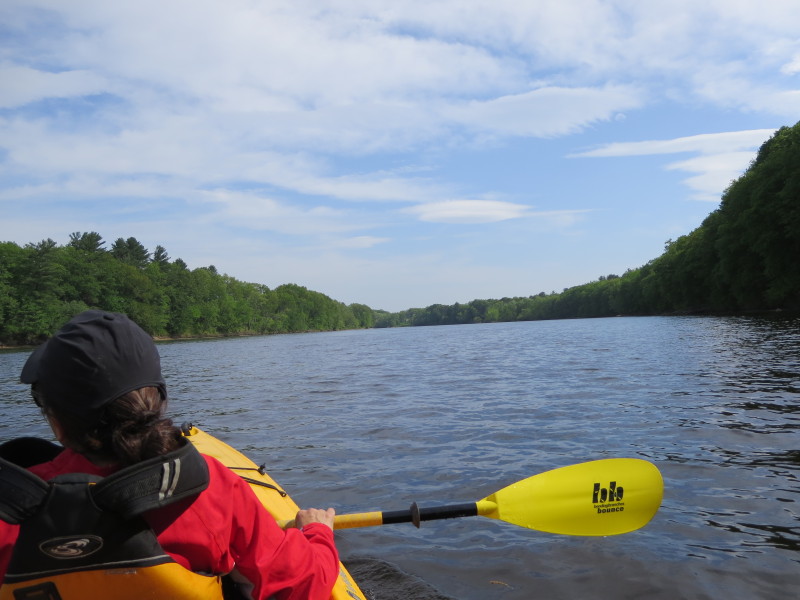
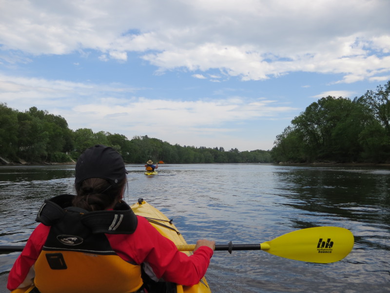
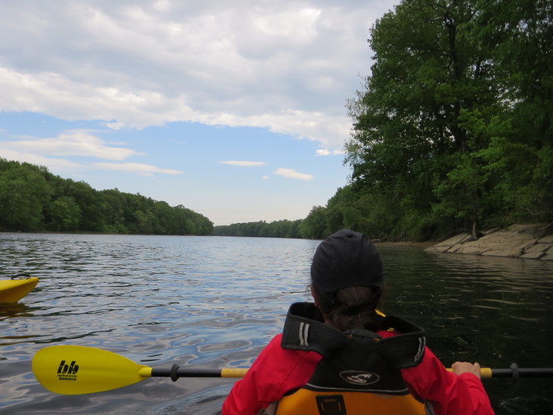
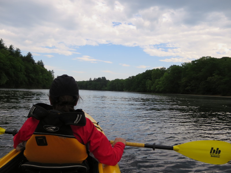
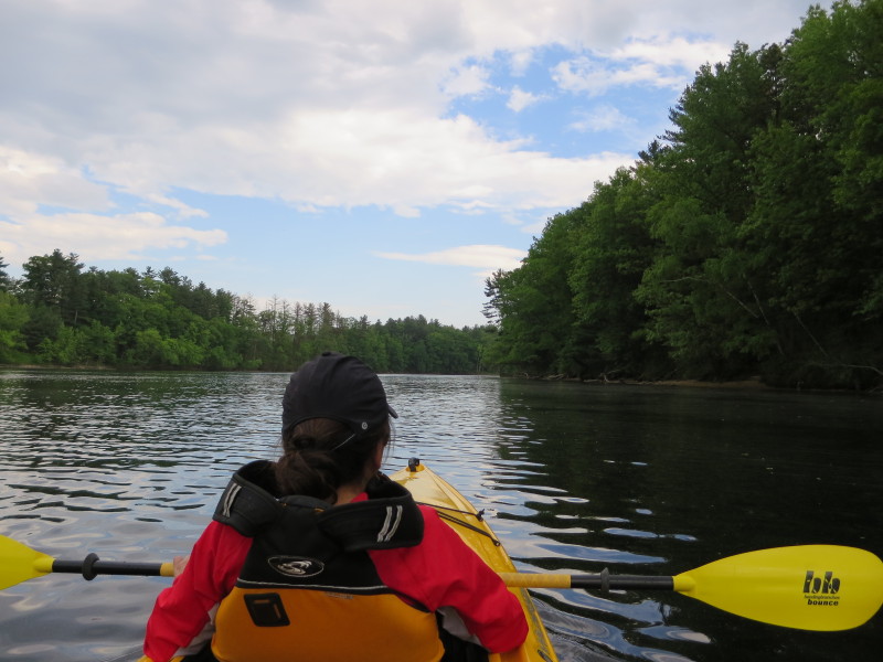
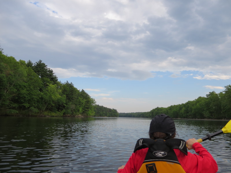
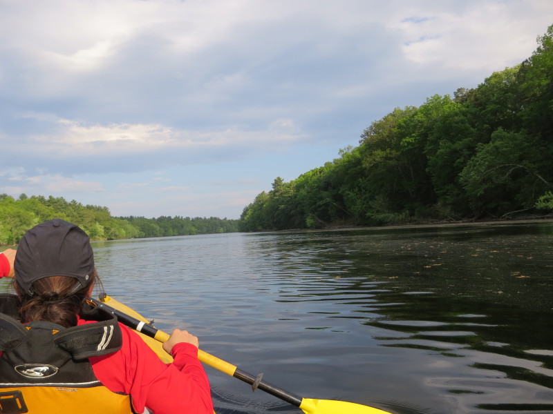
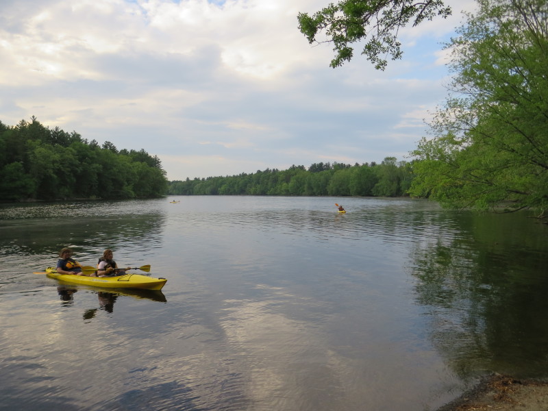
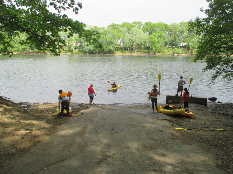 Launching on Merrimack River.
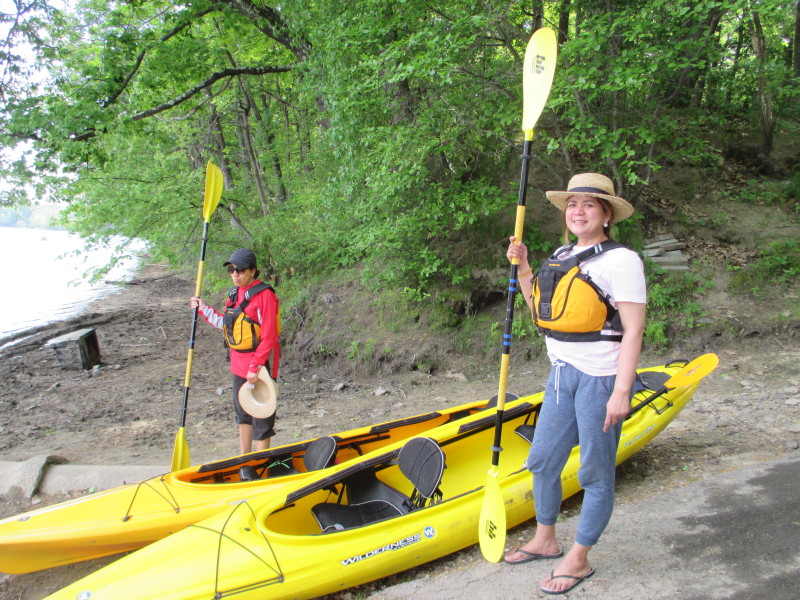 The Boston Kayaker's wife and Carol.
 Just launched. The Boston Kayaker will be at the back of this tandem kayak.
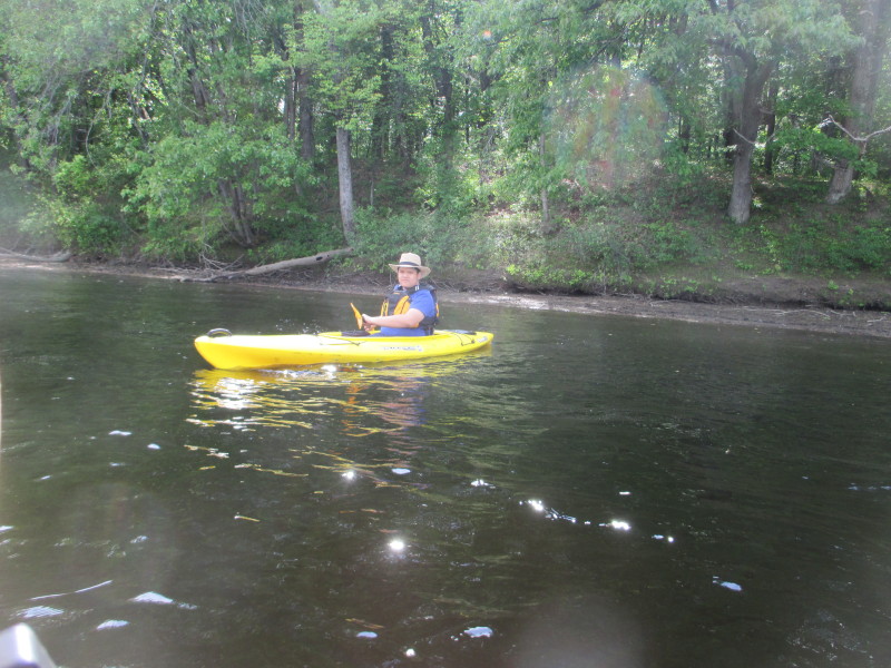
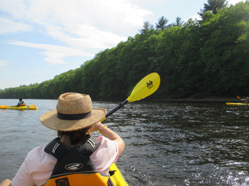
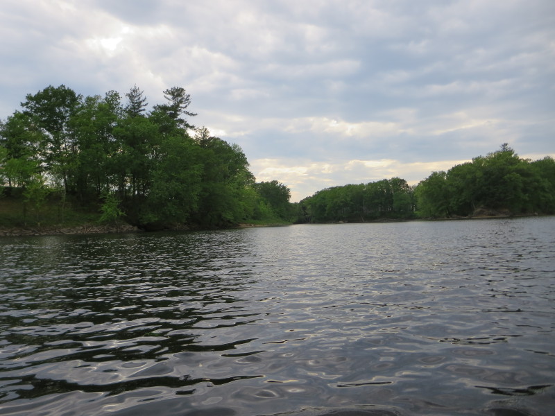
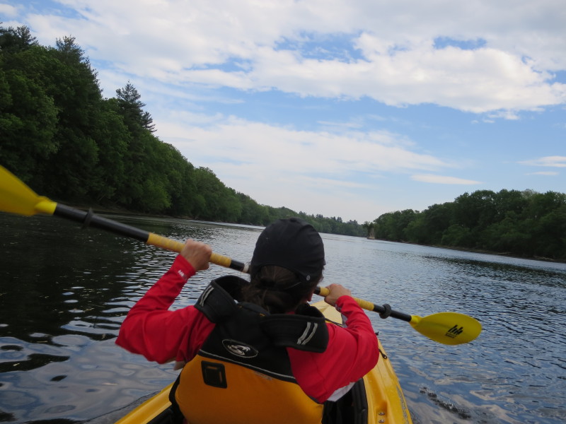
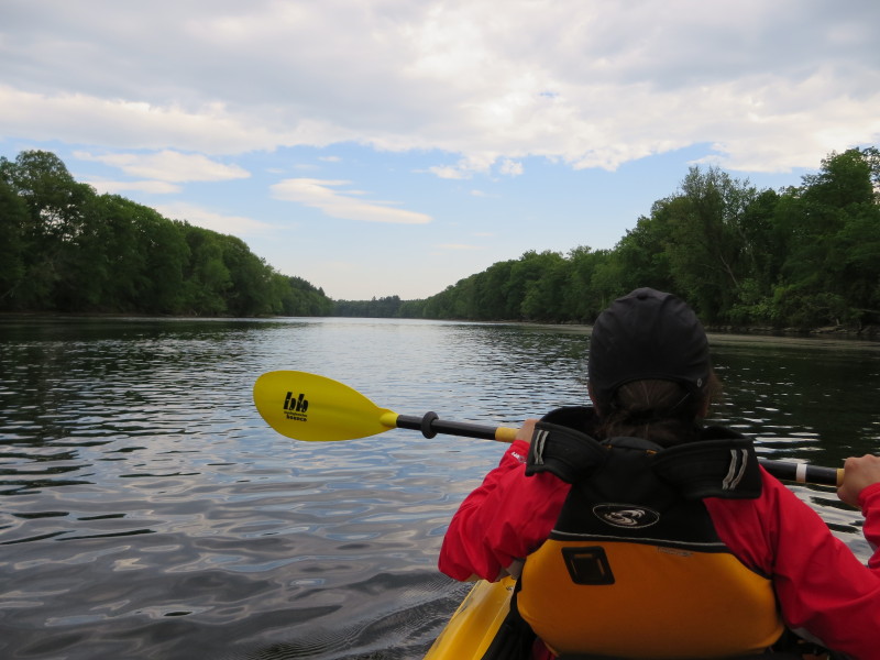
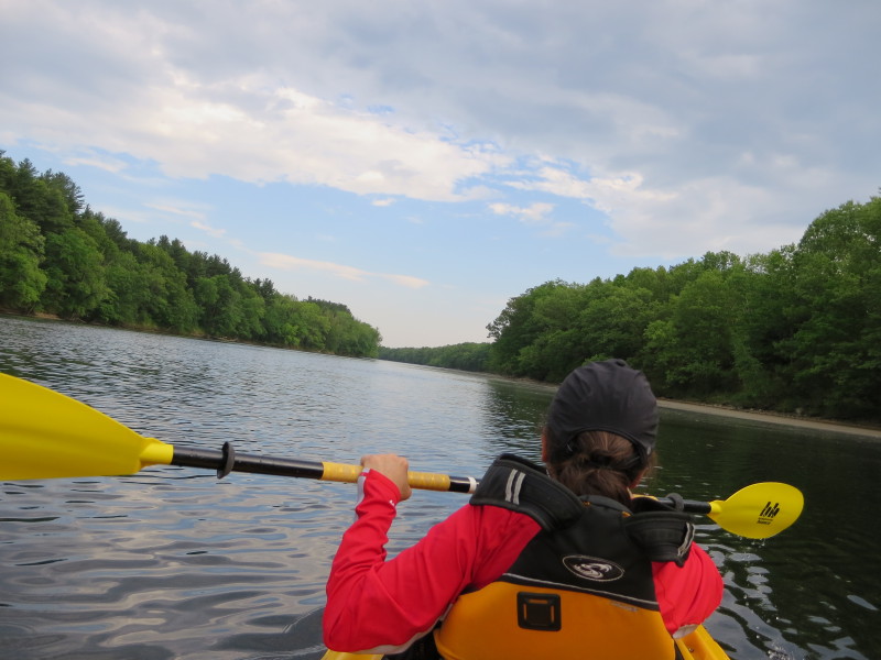
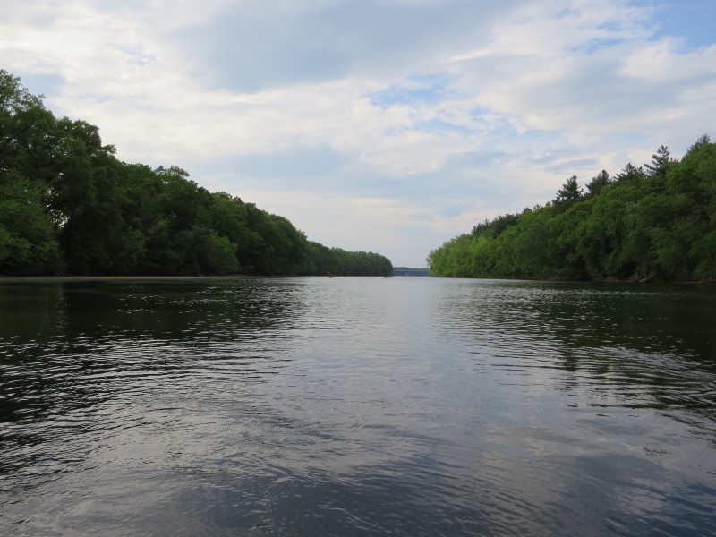
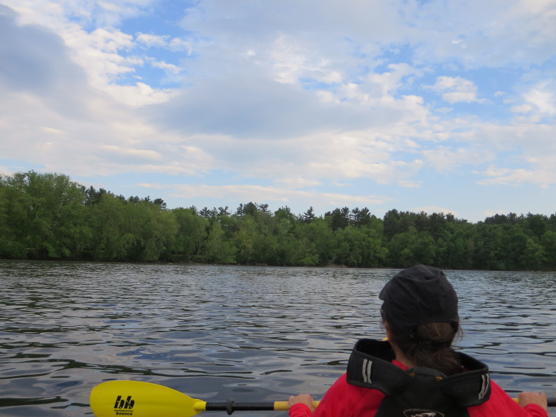
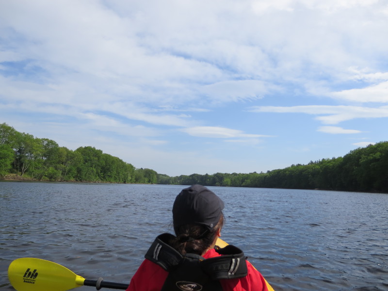 Nice clear blue-sky weather. Temperature a pleasant low 80sF.

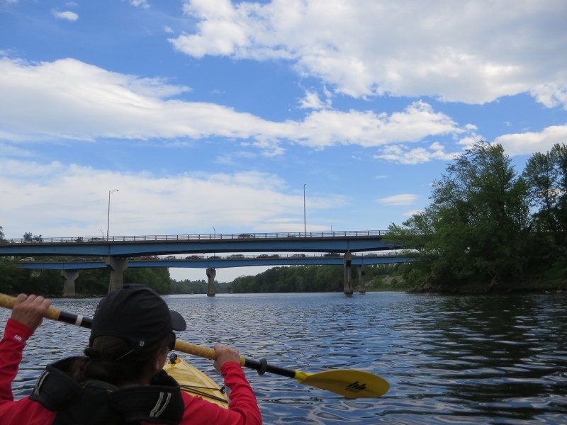
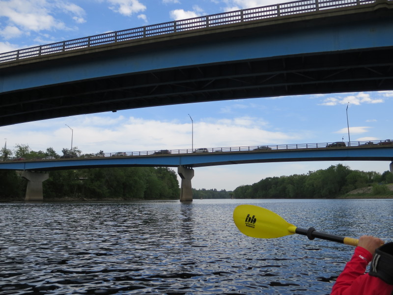
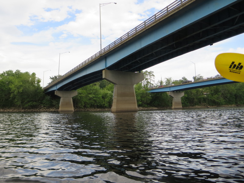
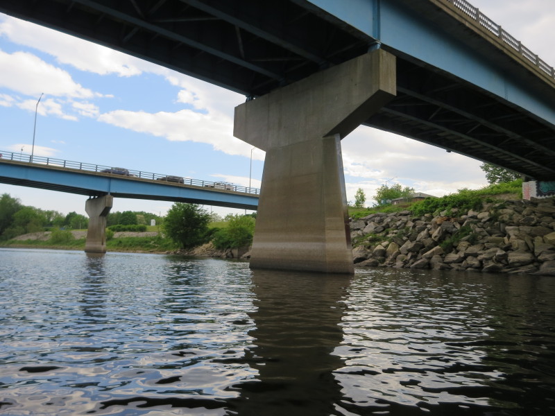
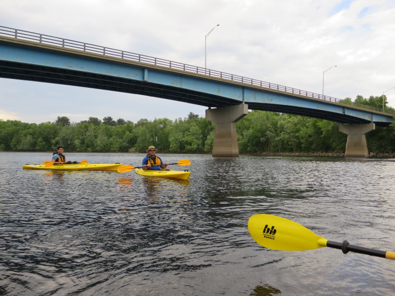
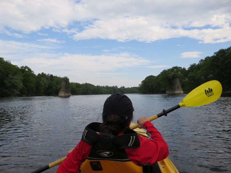
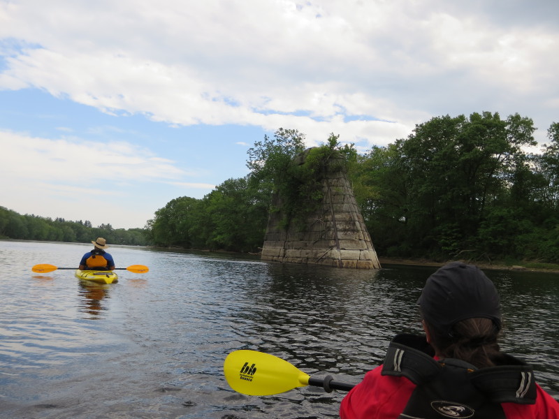
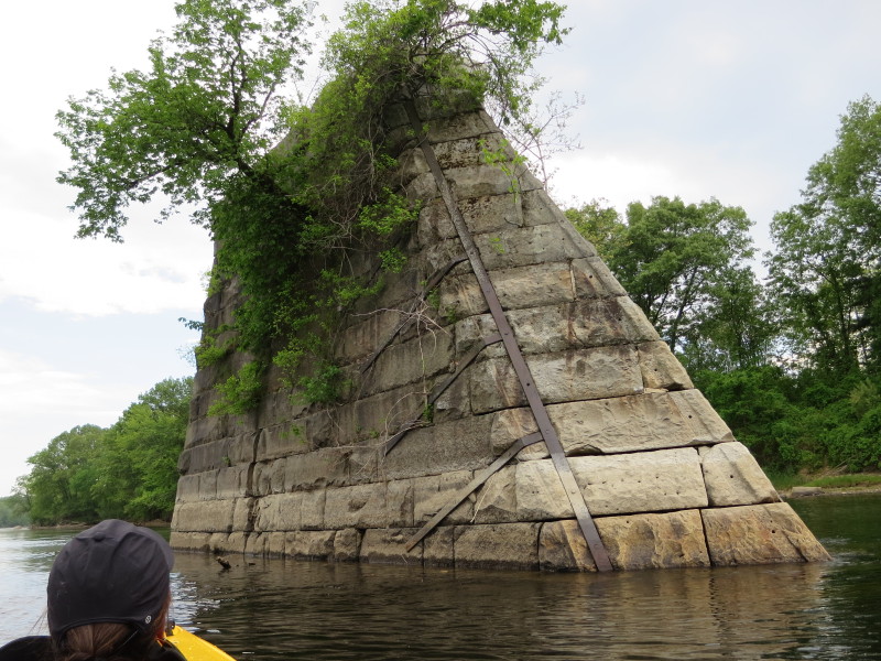
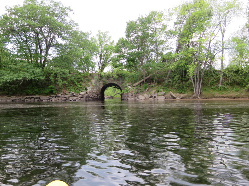
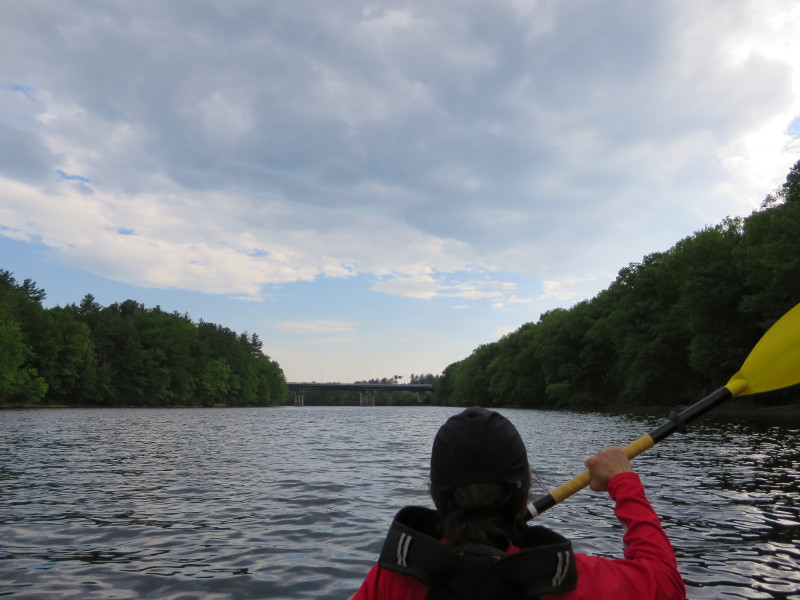
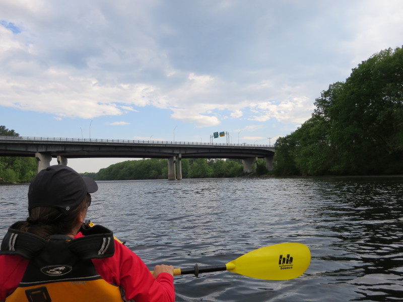
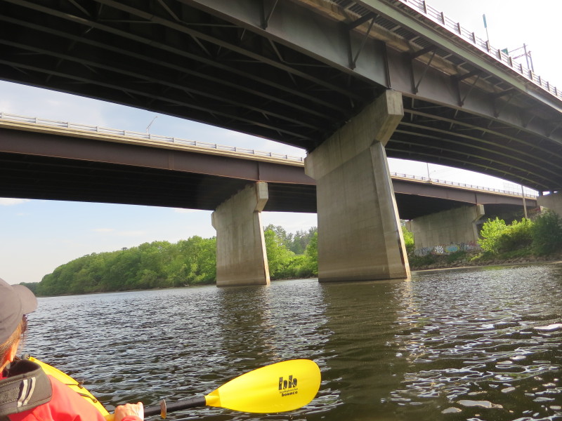
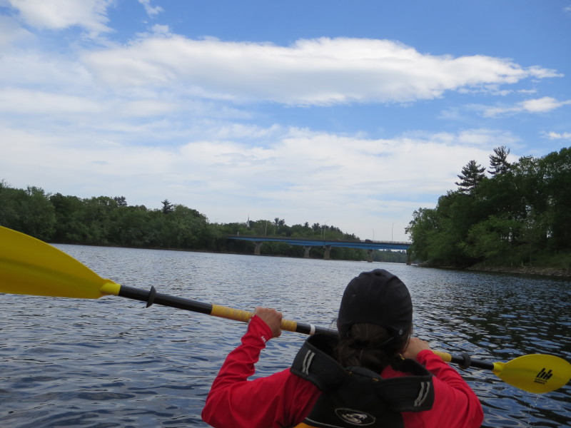 Approaching the Circumrential Hiway Bridge.
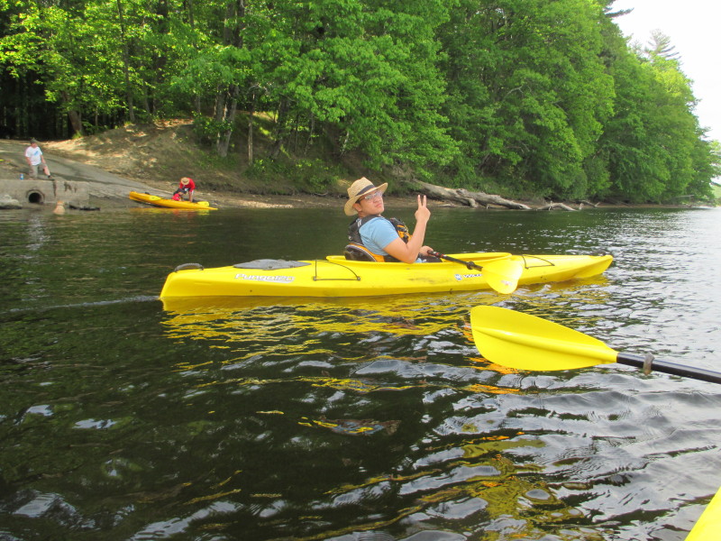
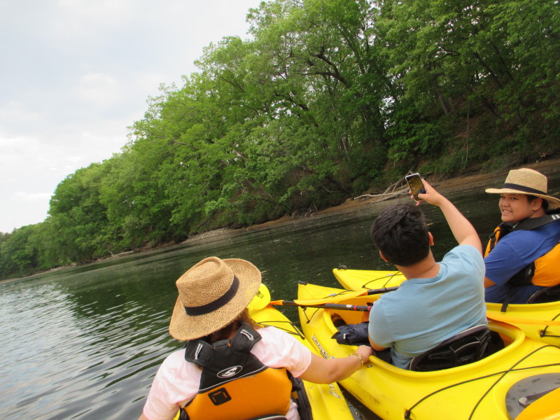
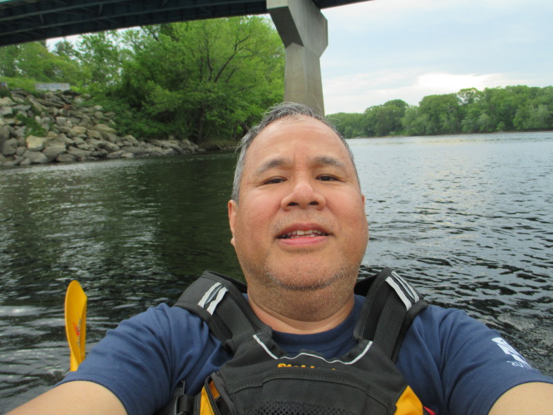 Selfie.
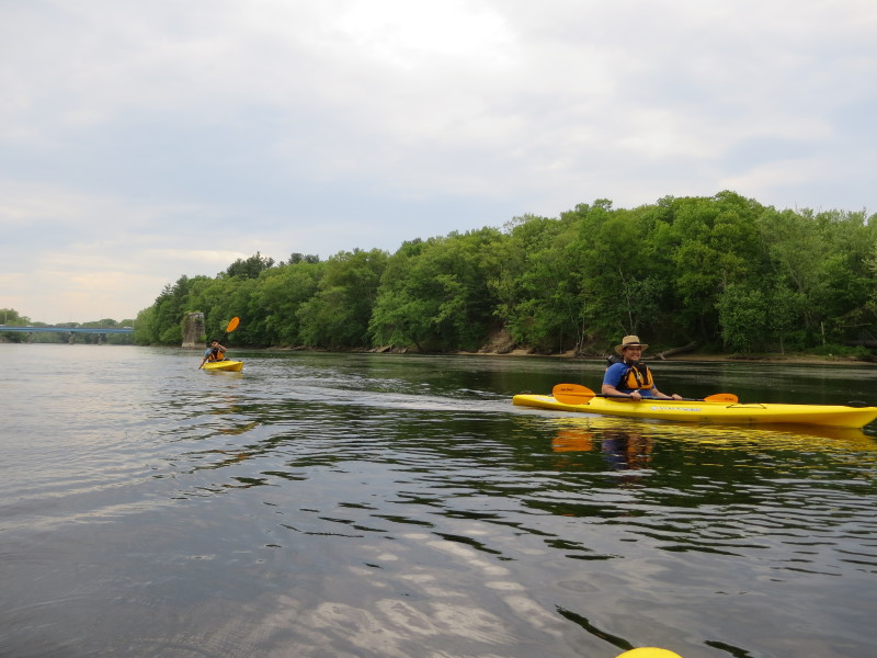

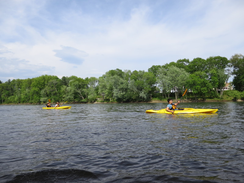
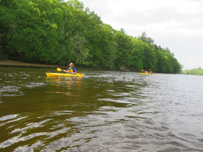
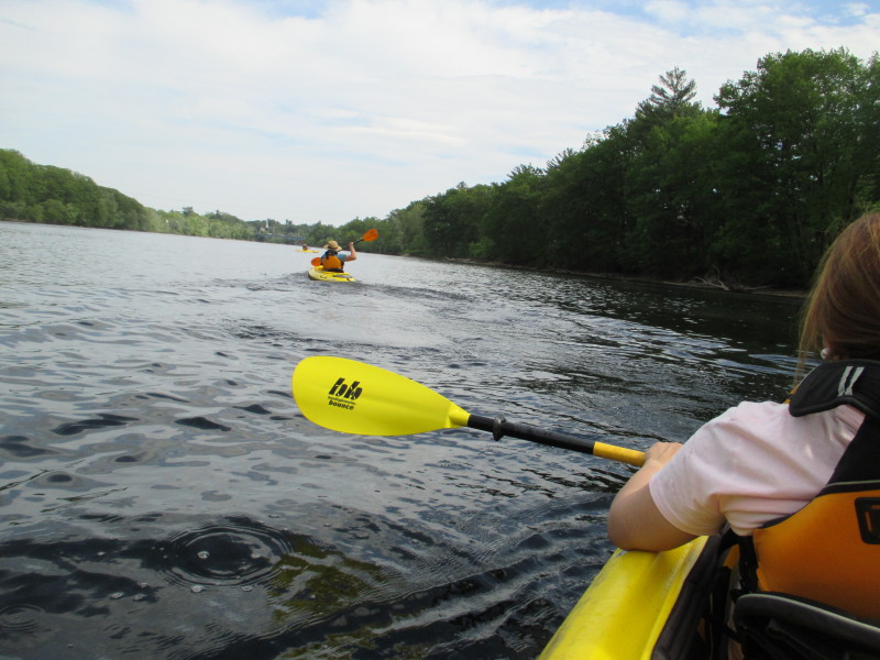
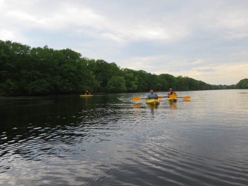
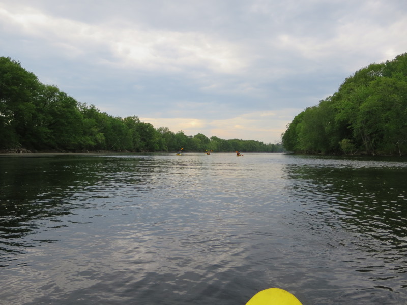 The Isip Family from the Philippines trailing behind.
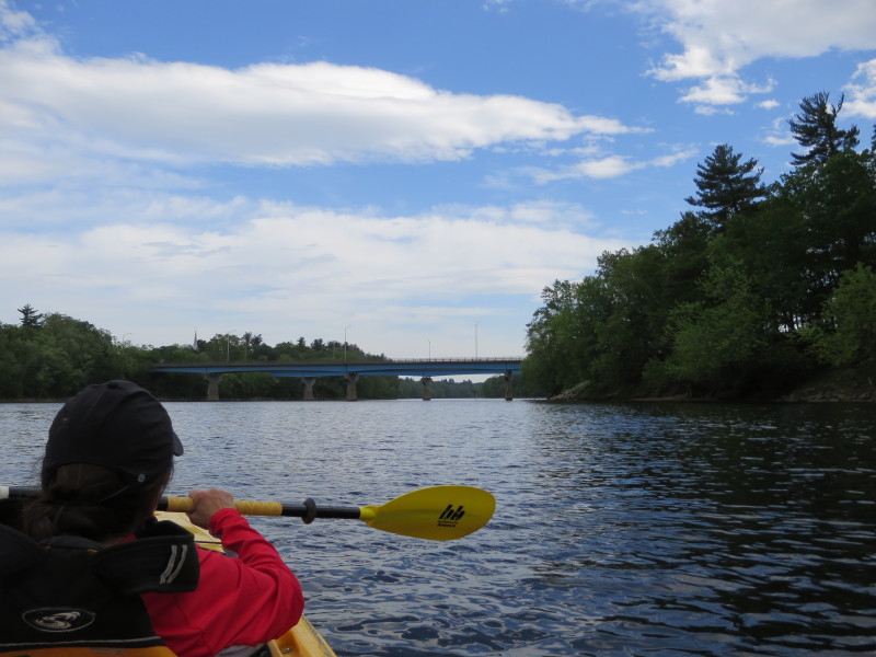
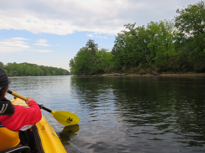
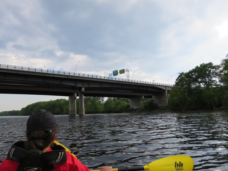
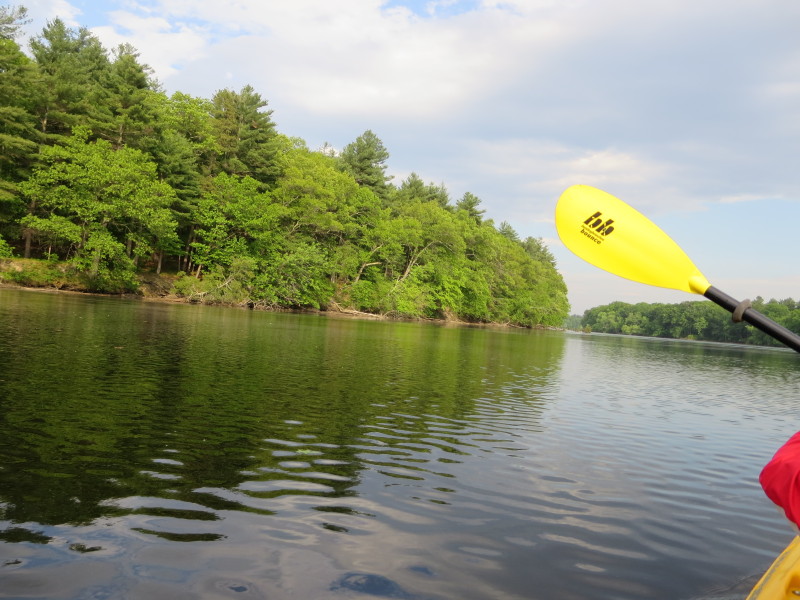
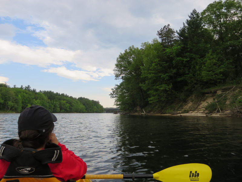 Approaching the Route 113 bridge in Tyngsboro MA.
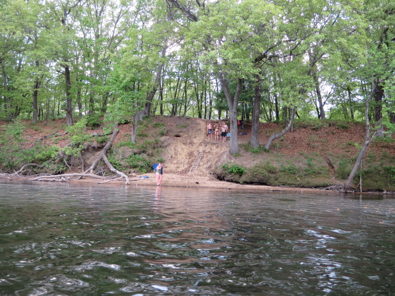
 Some young people playing on the river on the right bank.
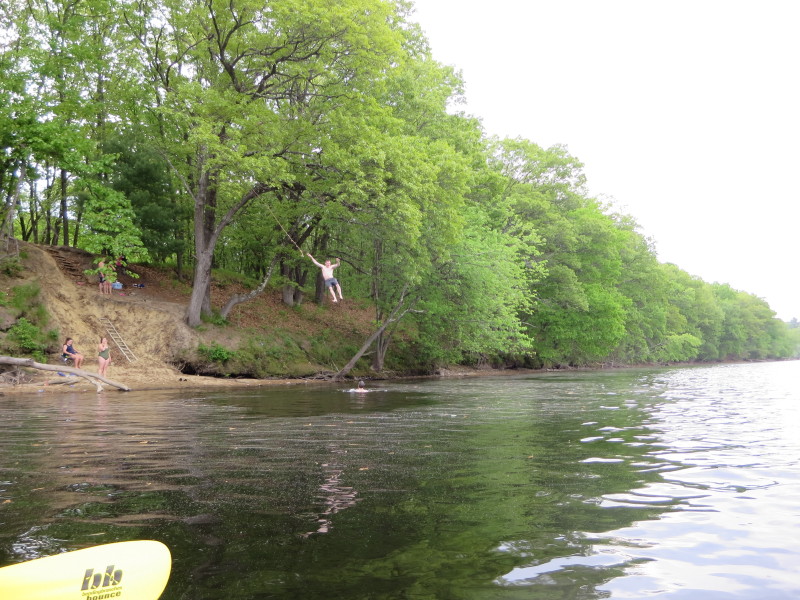 Jump rope!
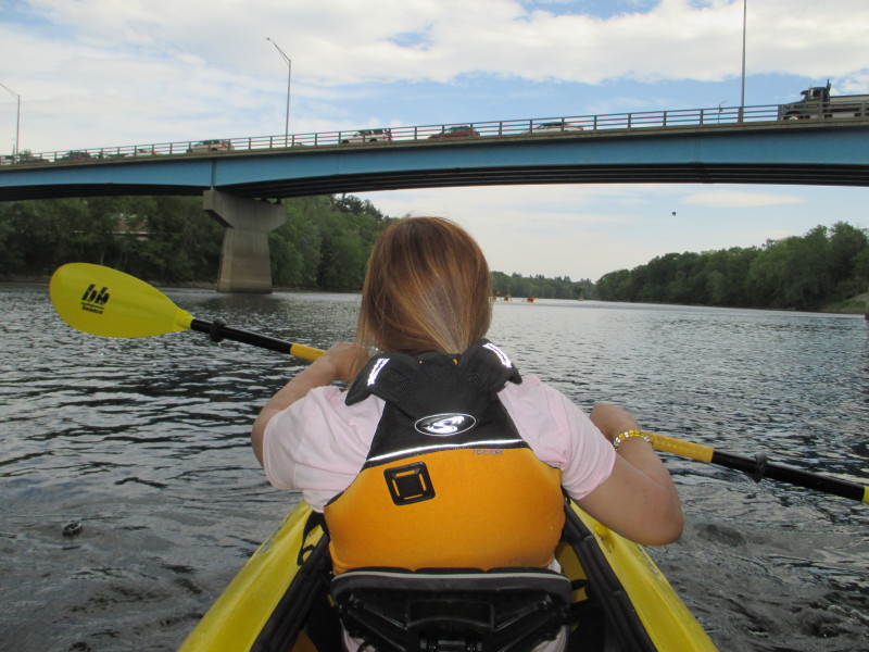
 Passing under Route 113 bridge over the Merrimack River in Tyngsboro MA.
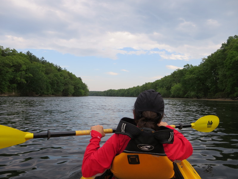
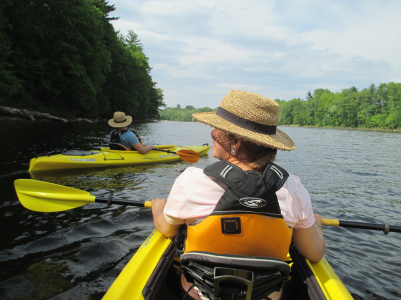
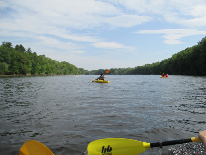
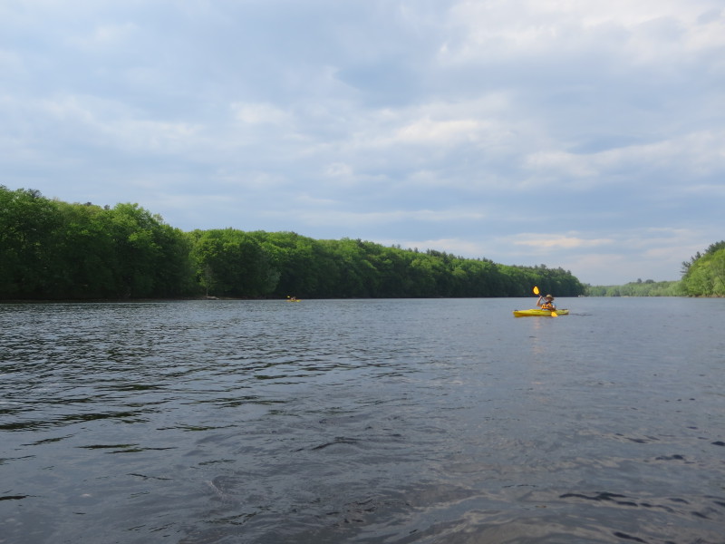
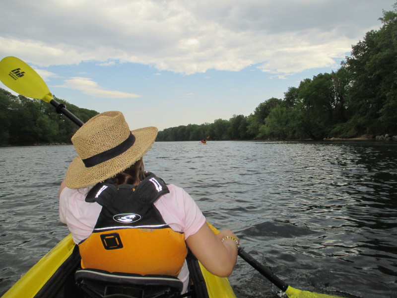
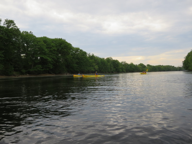
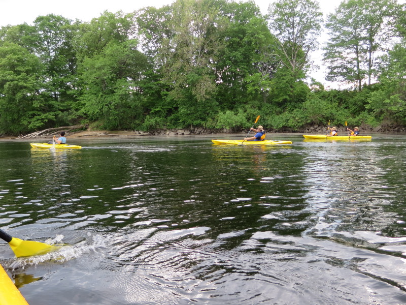
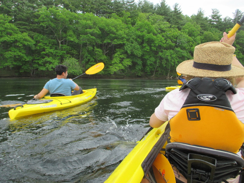
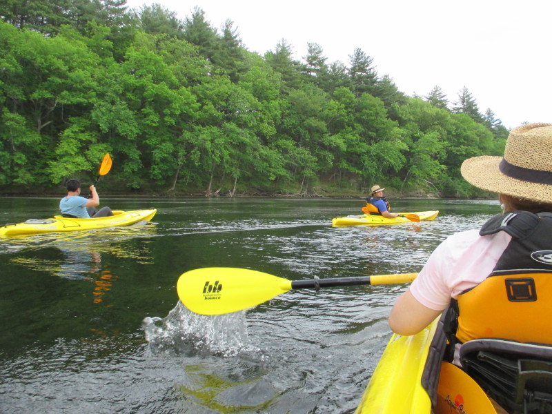
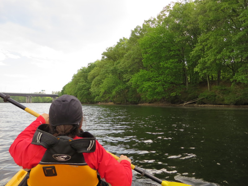
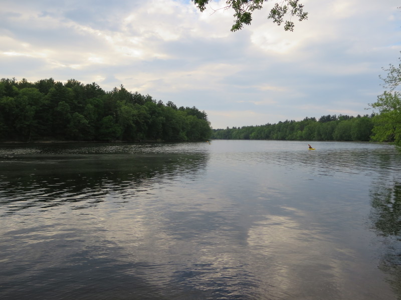
 Looking behind, my kayak buddies trailing behind.
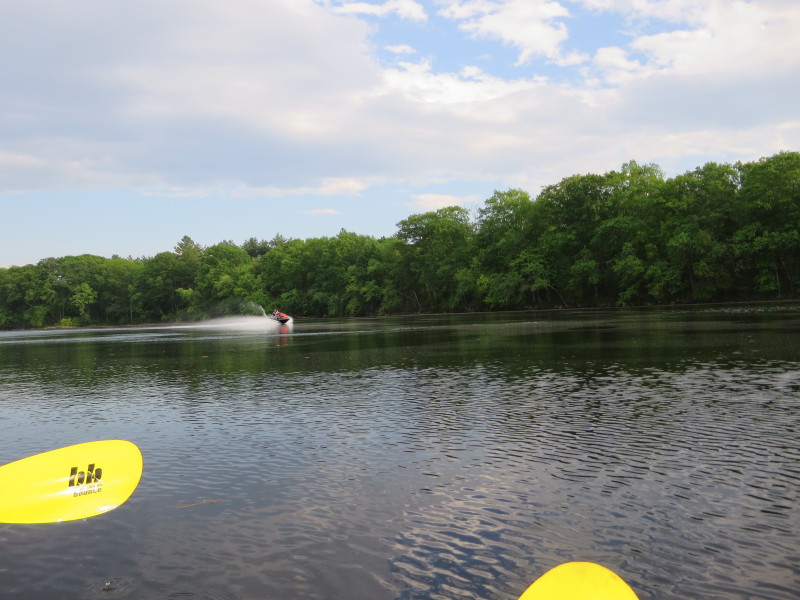 A jetskier on the Merrimack River.
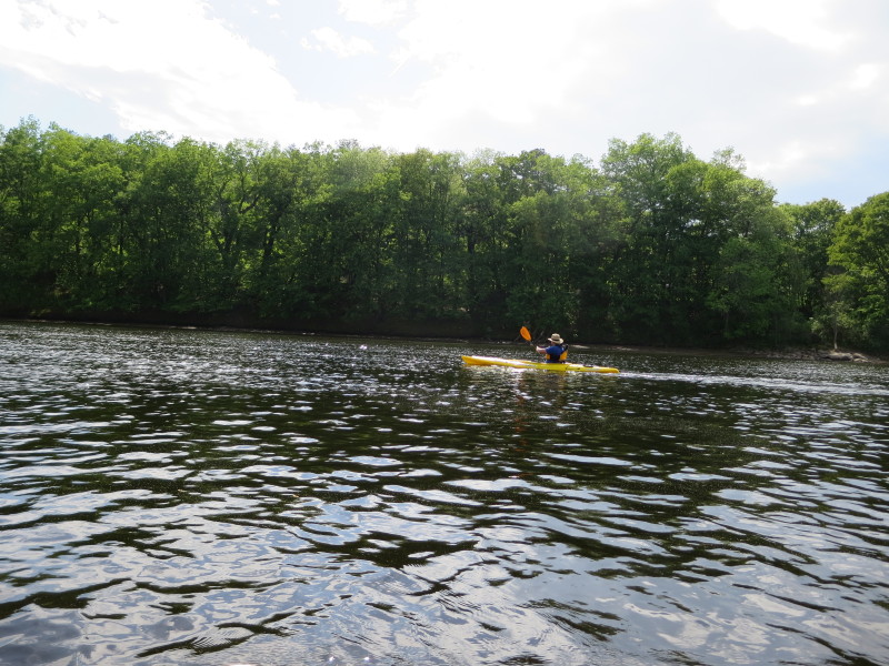
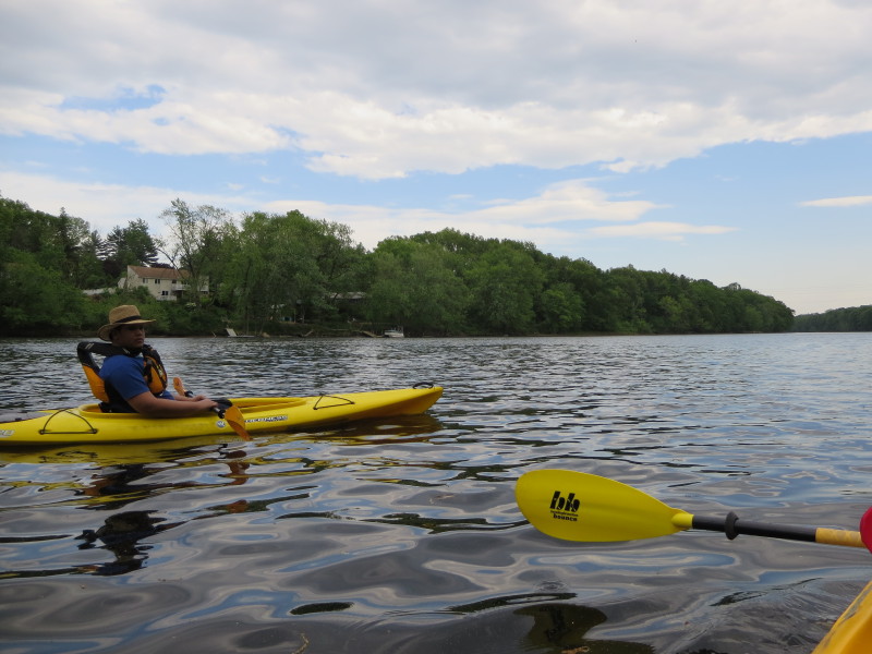
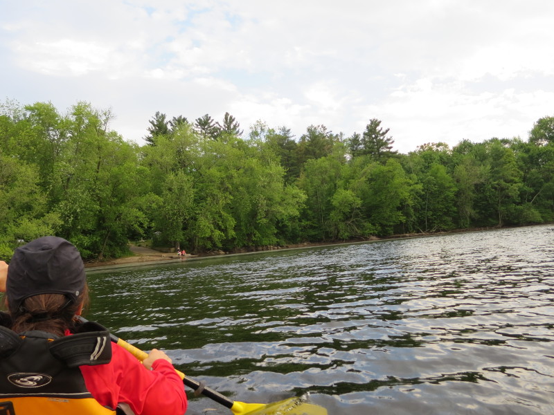 Approaching the take-out ramp.
 IMG_5374.JPG 20180525182403
 IMG_5375.JPG 20180525182415
 Landed. Paddle time is 2 hours 24 minutes.
 The entrance to the take out is very easy to miss.
It has this opened yellow gate. 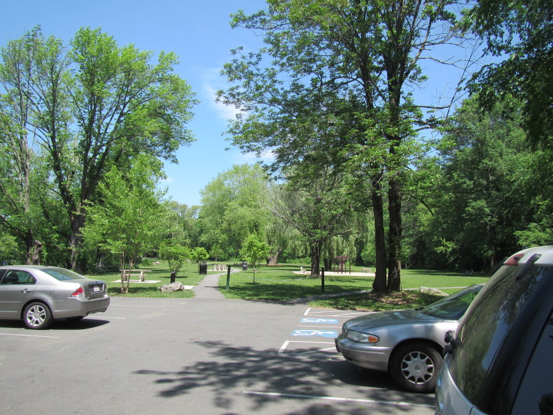 The Tyngsboro launch has a parking space and playgrounds and picnic tables.
|