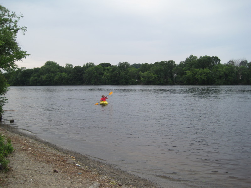
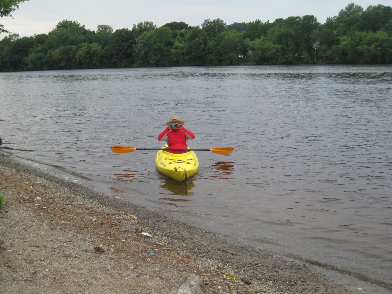
 Kayaker

| |||||||||||||||||||||||||||||||


|
Download printer-friendly
PDF version that fits in one page: |

|
|
Other resources:
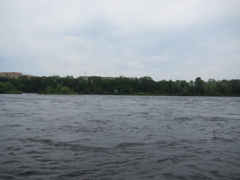
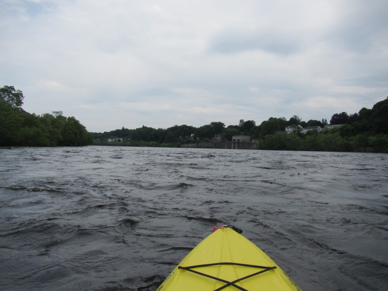
Kayak The Merrimack Trip Report Merrimack River Watershed Council Lawrence Riverfront State Park National Parks Service: Lowell National Historical Park Greater Lawrence Community Boating USGS: Merrimack River Gauge at Lowell MA All photos in this website are original and copyrighted. 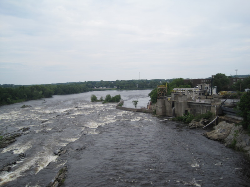 The rapids below Pawtuxet Falls just above the put in.
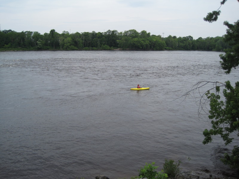
Picture taken from University Avenue bridge over the Merrimack River in Lowell MA. Trip date is June 2013. 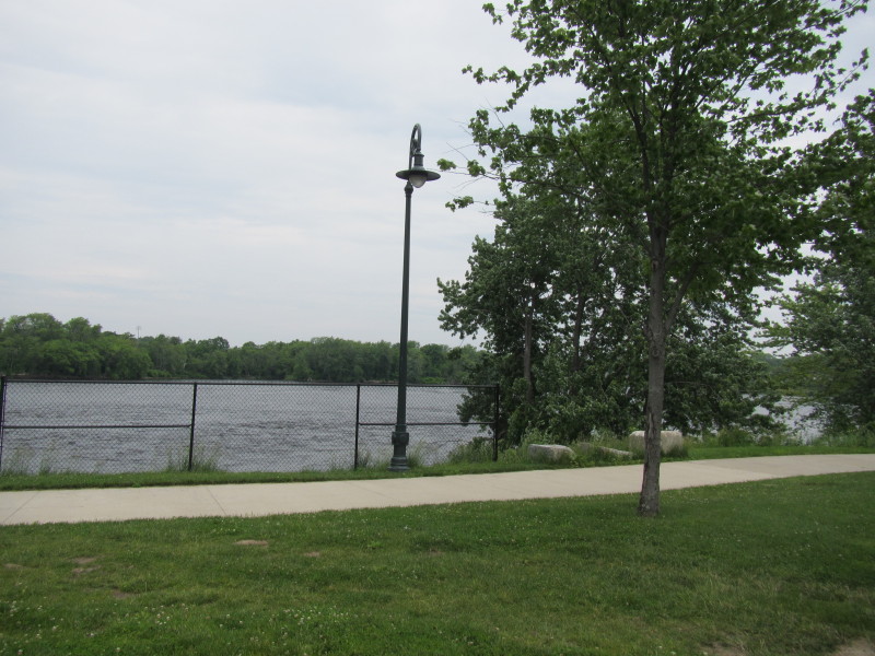 Behind the Le Lacheur Park in Lowell MA.
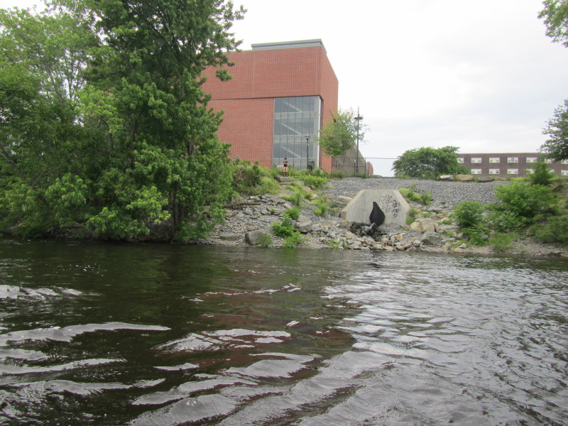
Not really sure where I can launch here. Let me have a look at these banks. 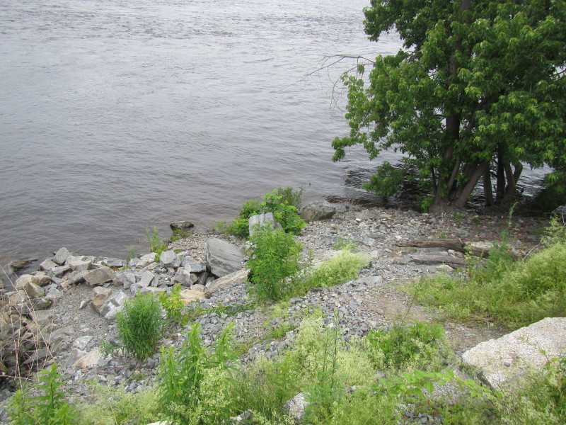 The river bank is steep and has rip-rap but launchable.
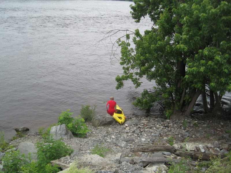 To Merrimack River in Lowell MA the Boston Kayaker will launch.
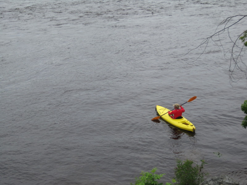
 The Boston Kayaker just launched on Merrimack River in Lowell MA.
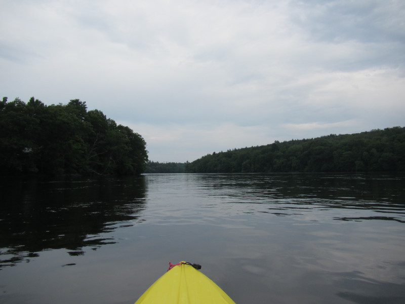
 Looking back at the put in. This might not be the official one but very doable.
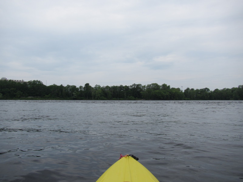
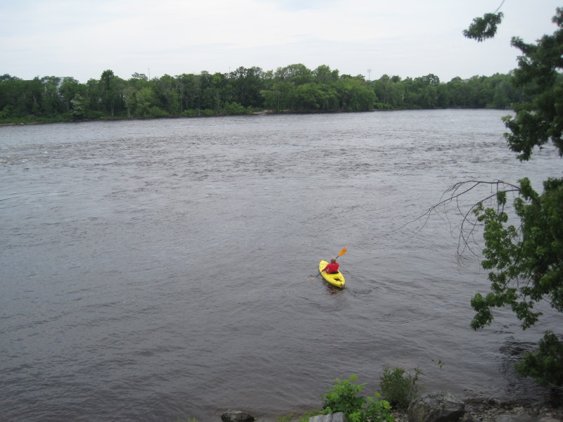
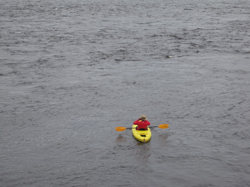
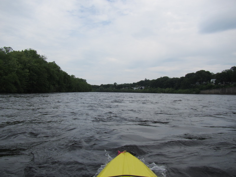
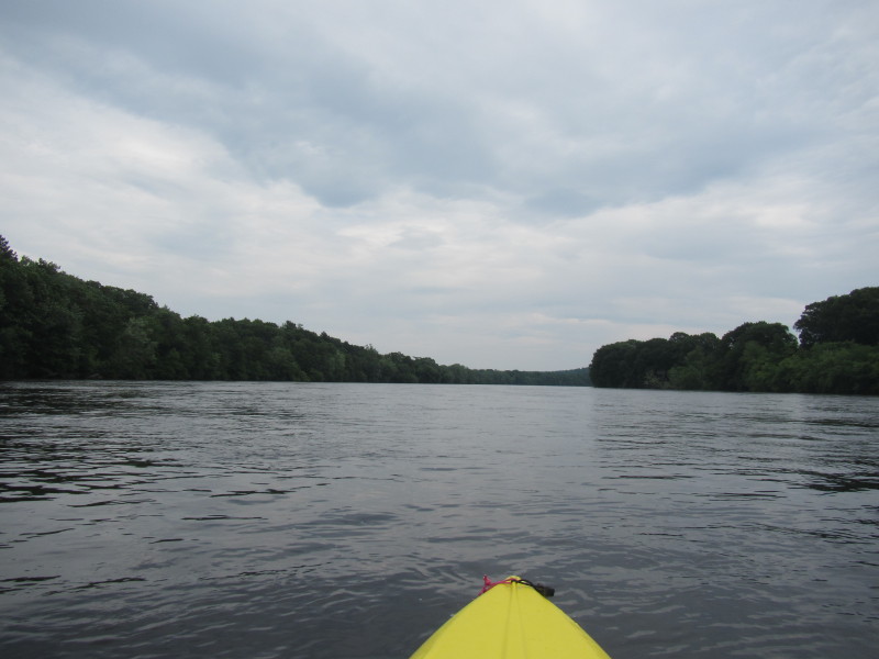
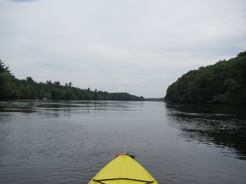
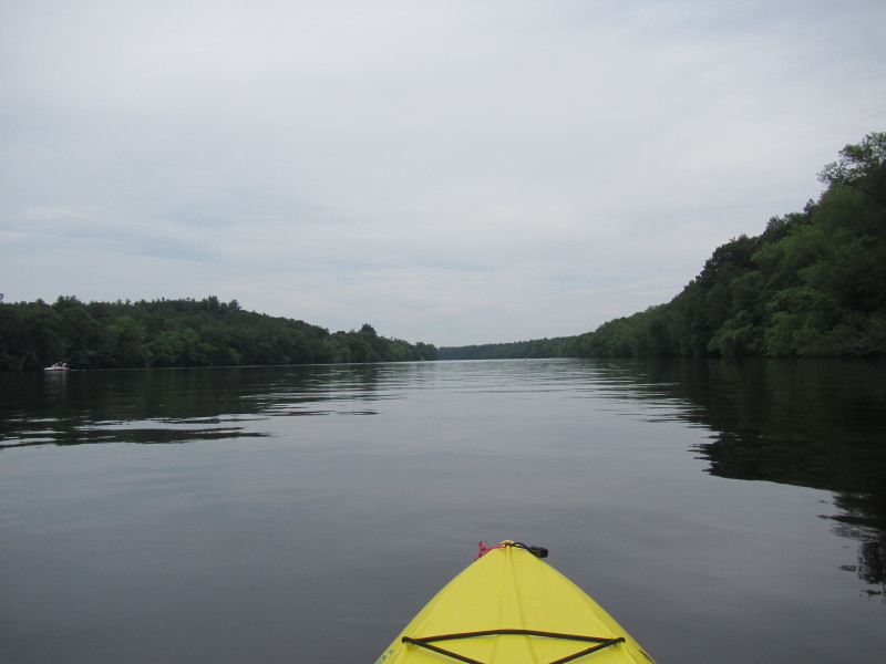
 Now paddling downriver with the good moving flow of the mighty Merrimack River.
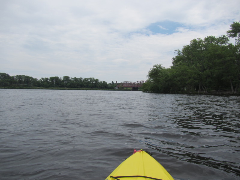
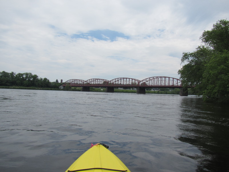 First bridge on this route is the Aiken Street Bridge.
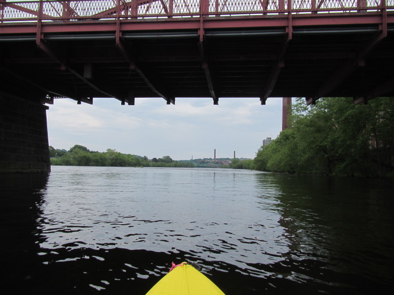
 Riffles just downstream of the Aiken Street Bridge.
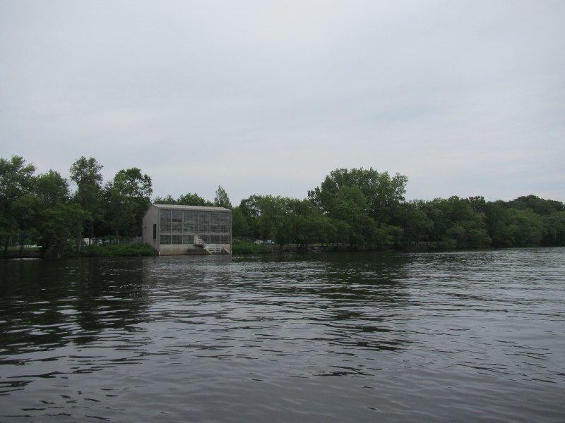
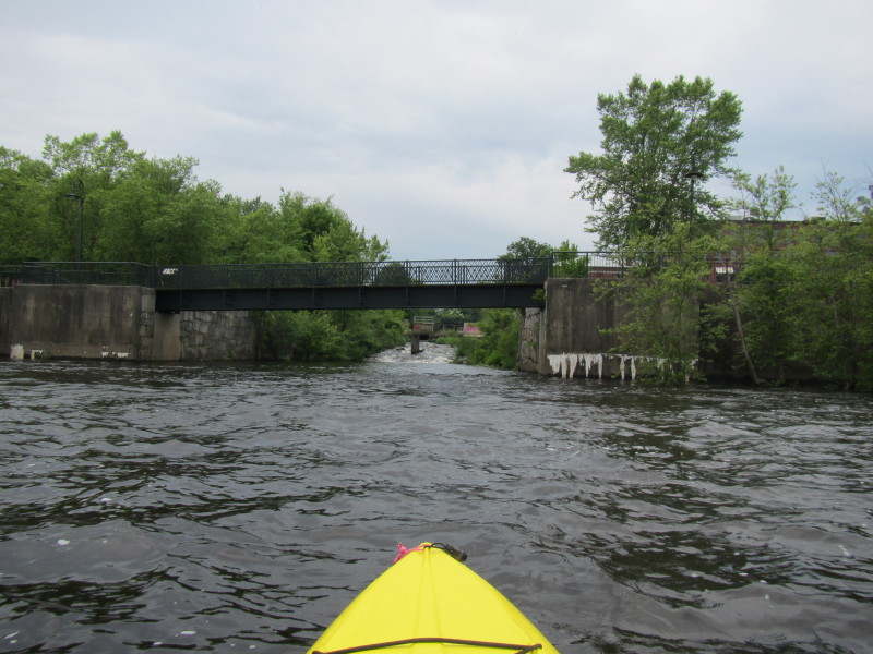 The Lowell canal draining into Merrimack River.
 IMG_7216.JPG 20130616121936
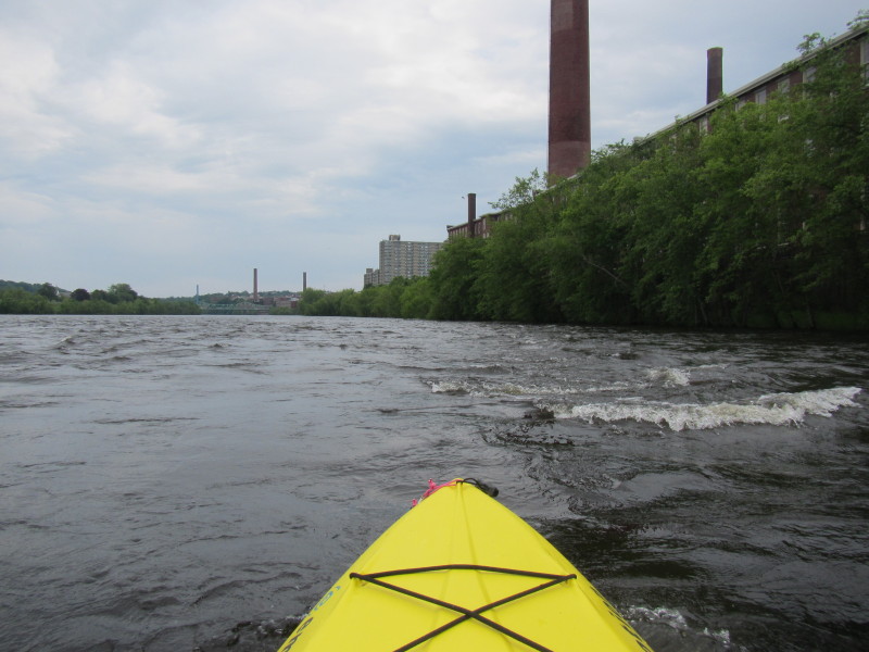
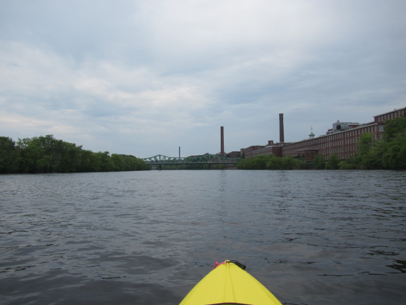
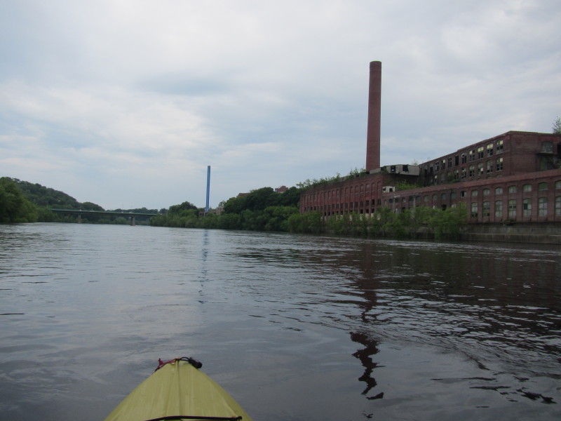
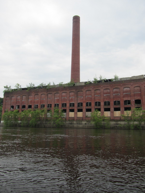
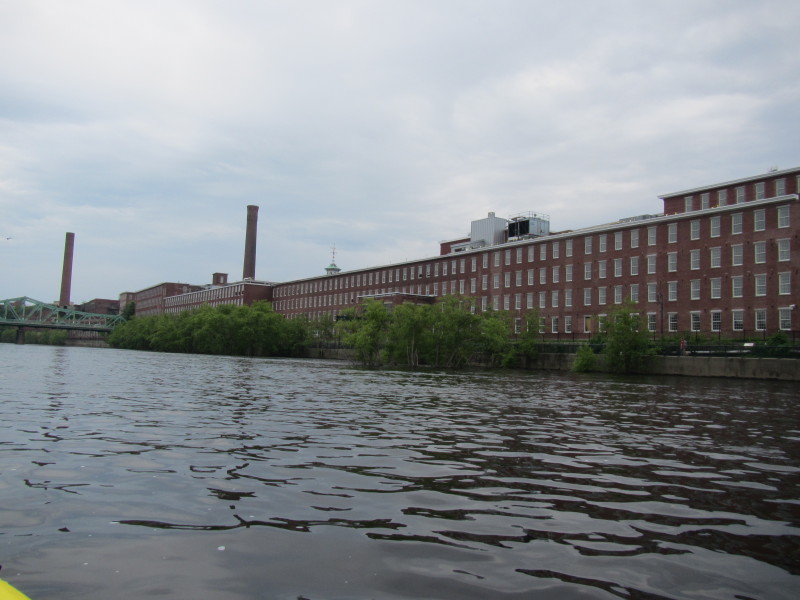 Lowell National Historic Mills.
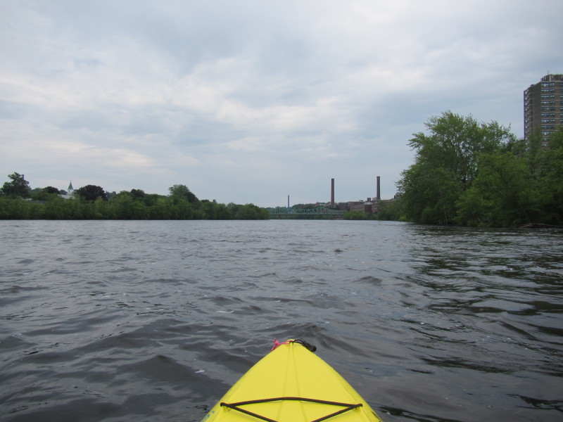
 Second bridge on this route: Bridge Street bridge.
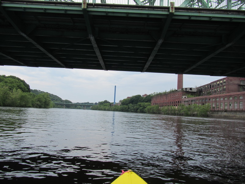
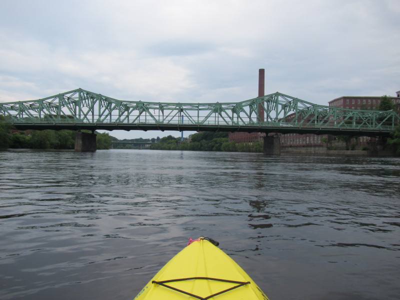
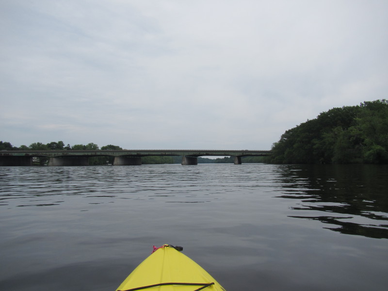
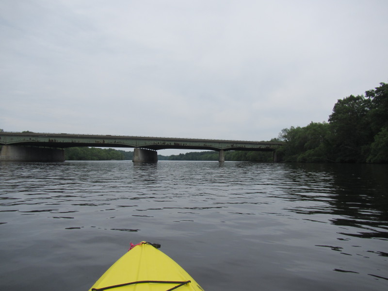
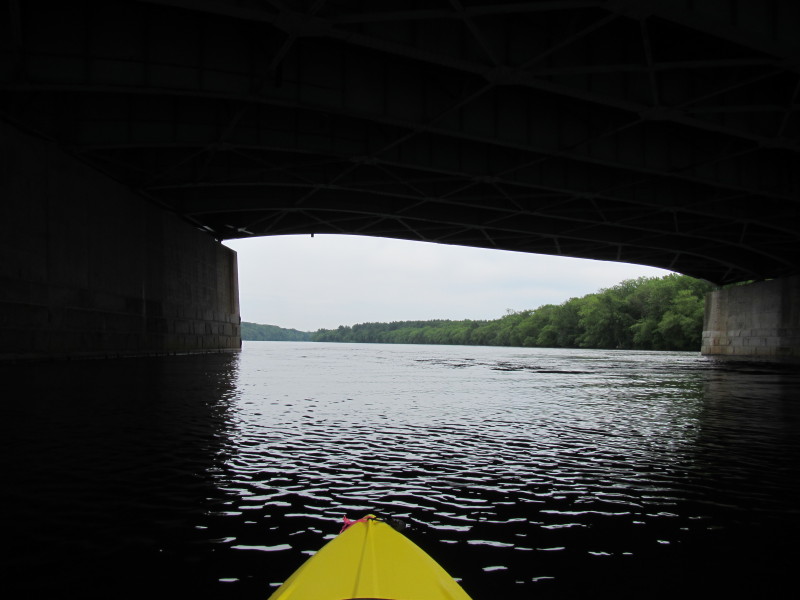
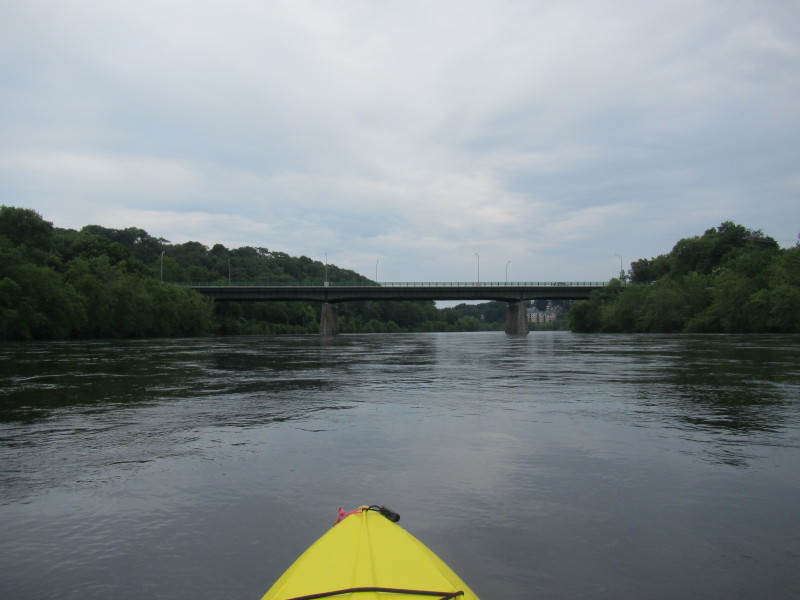 Third bridge on this route: Route 38 bridge over Merrimack River.
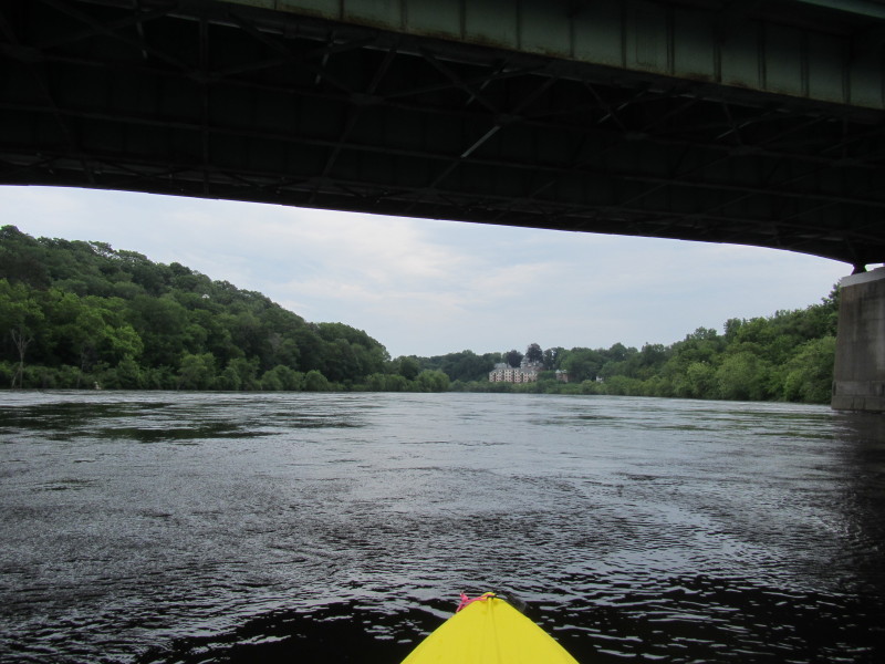
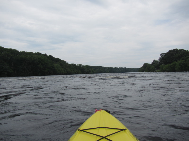
 More riffles.
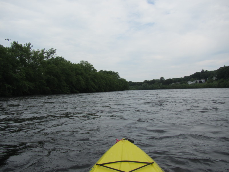

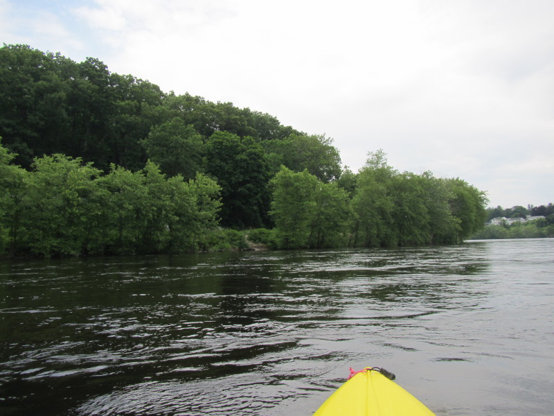
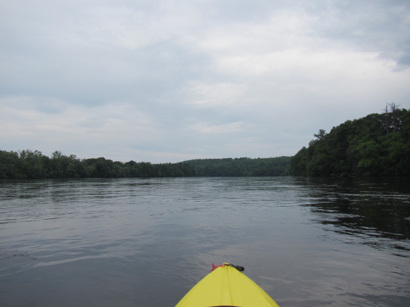
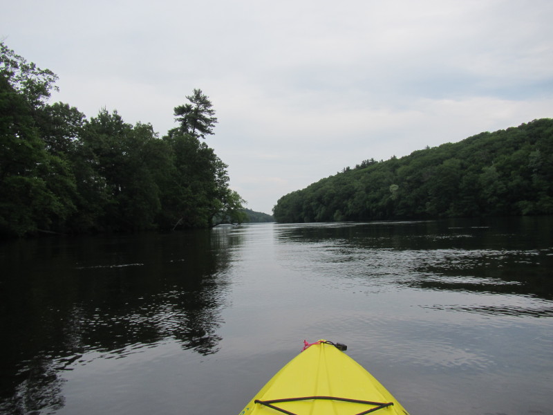
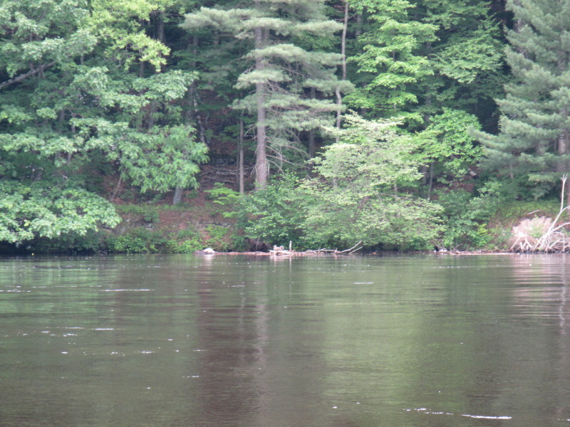
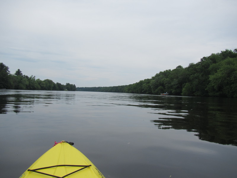
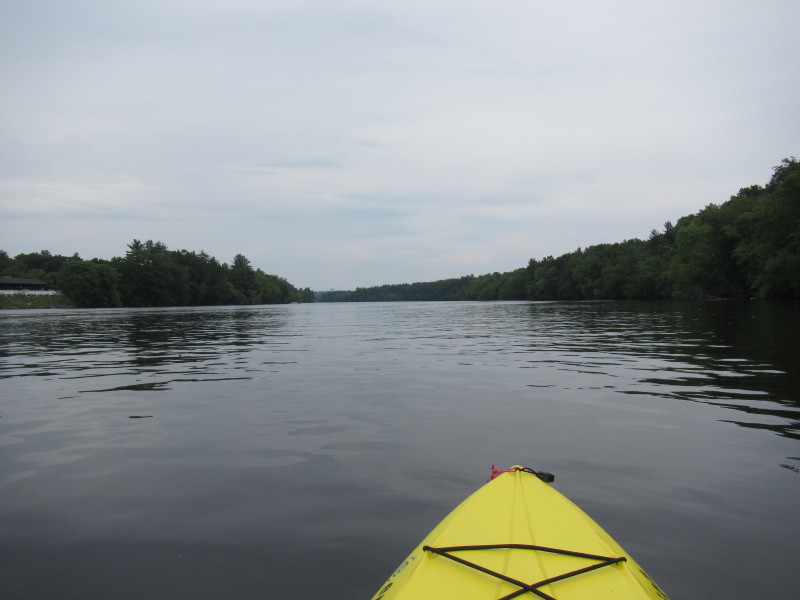
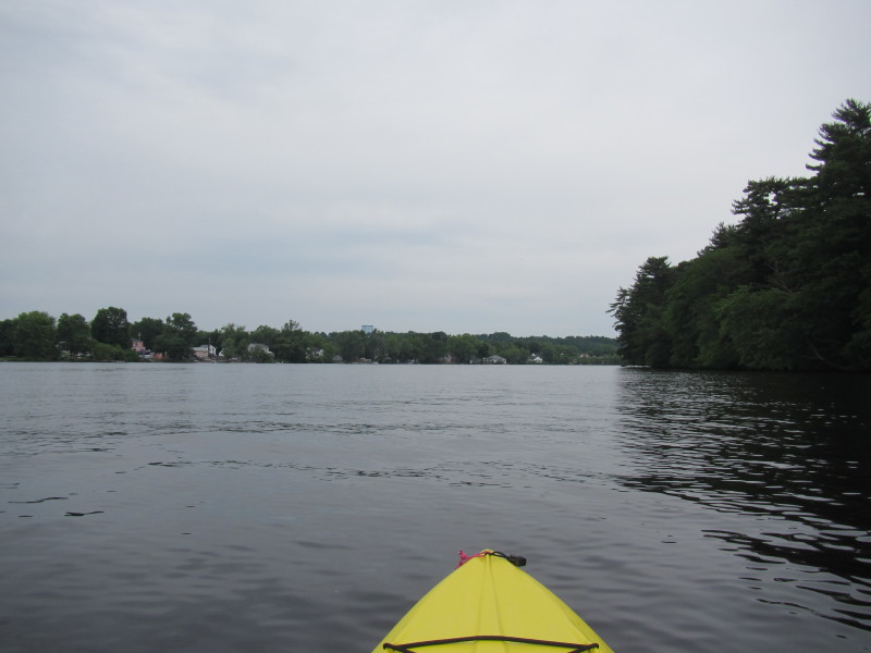
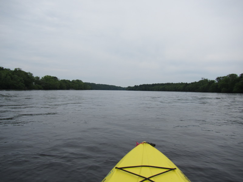
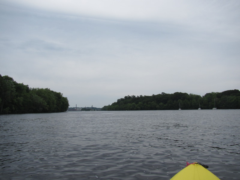
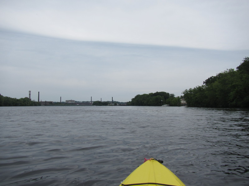
 The Merrimack River is calm in this stretch.
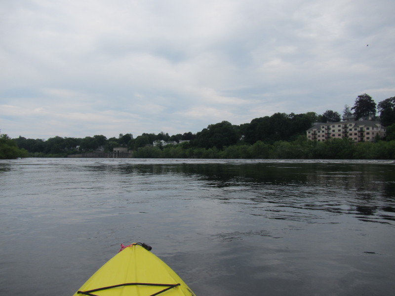
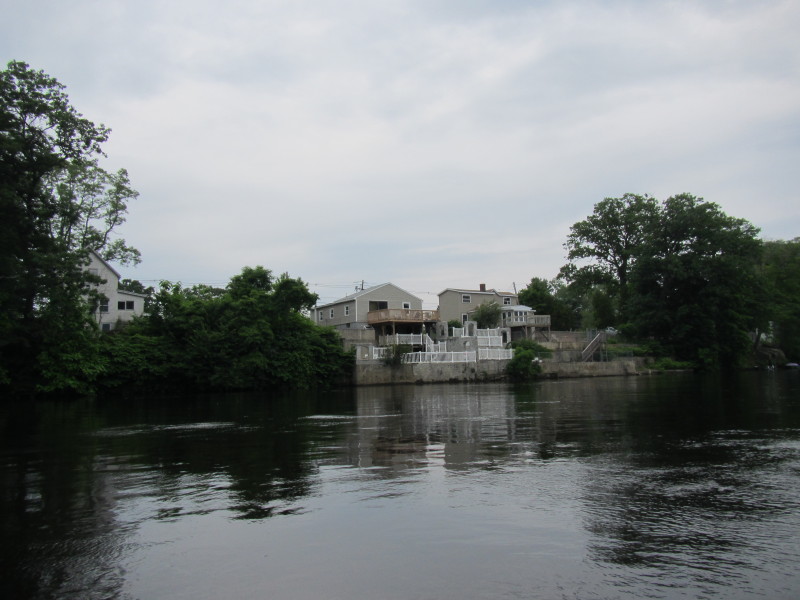
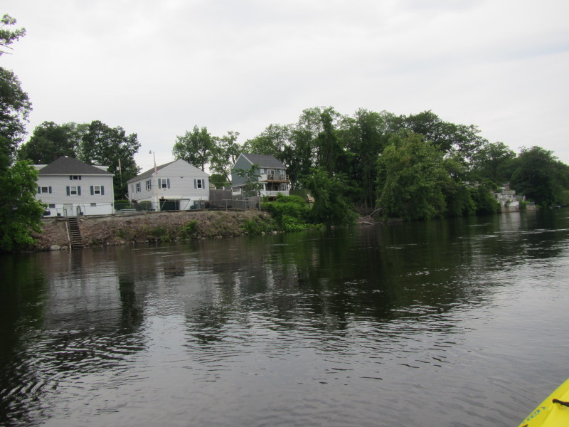 River front houses on the north bank.
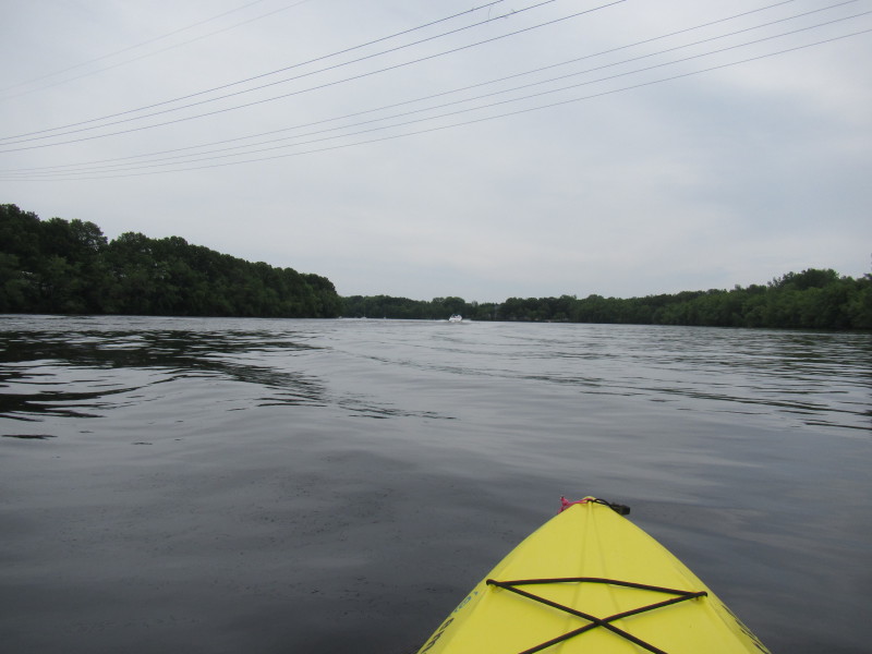
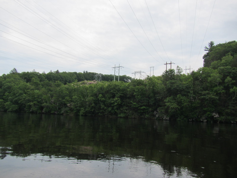 Power lines.
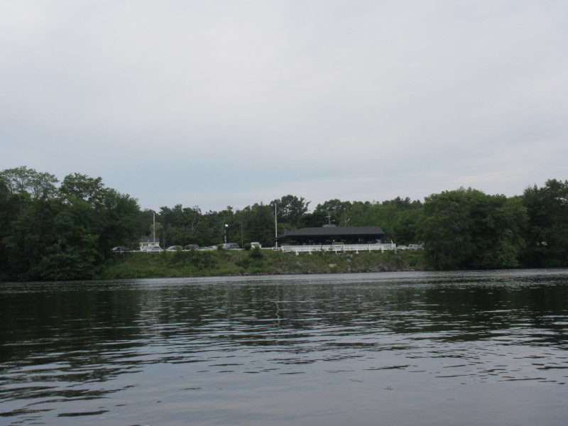 Riverside restaurant.
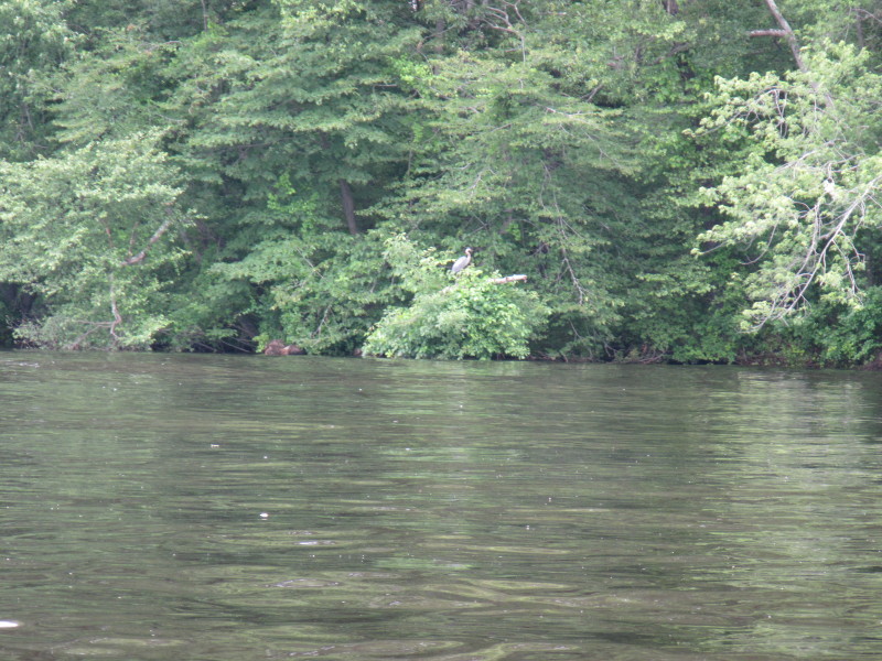
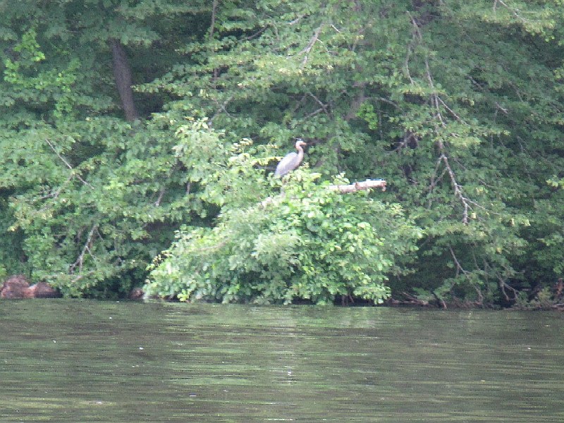 A blue heron on Merrimack River.
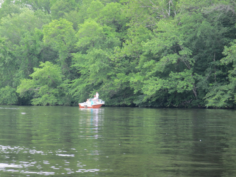
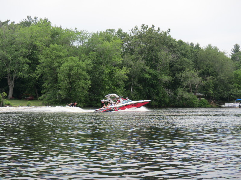
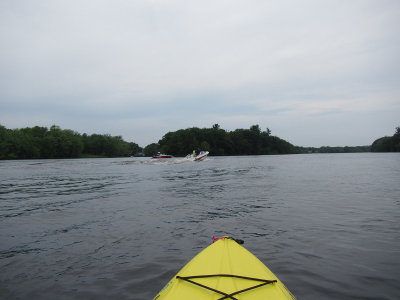
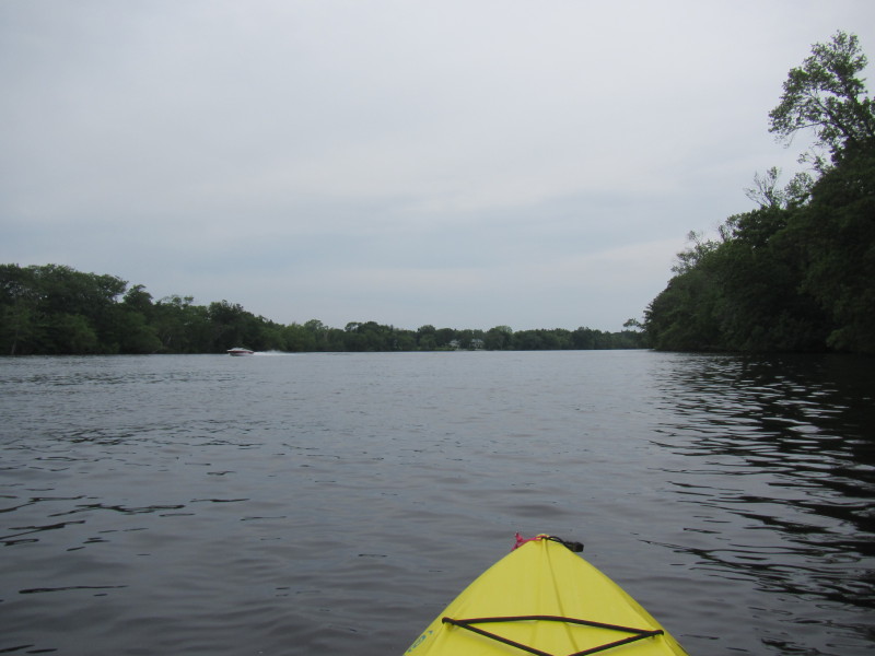
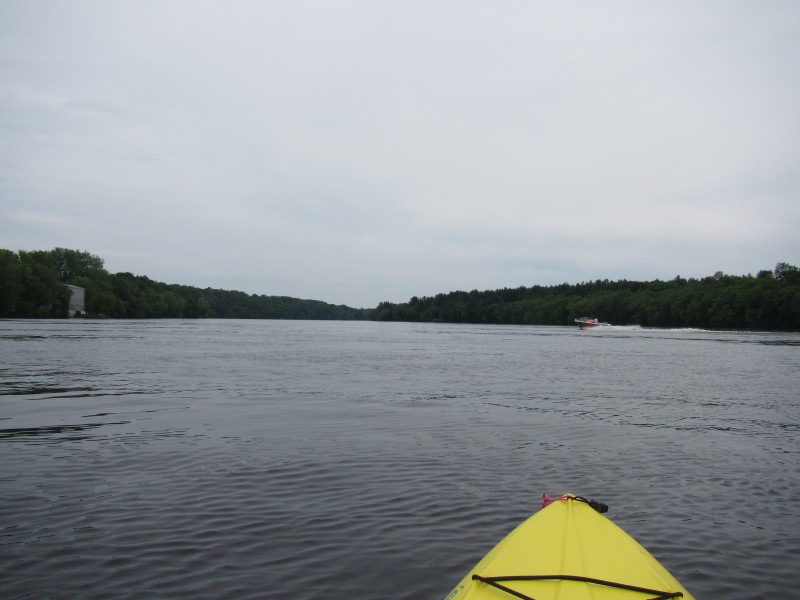
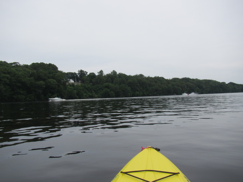
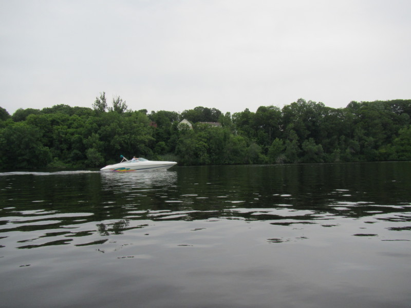
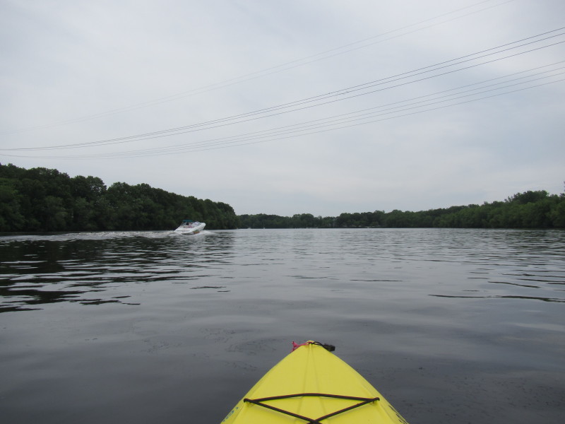
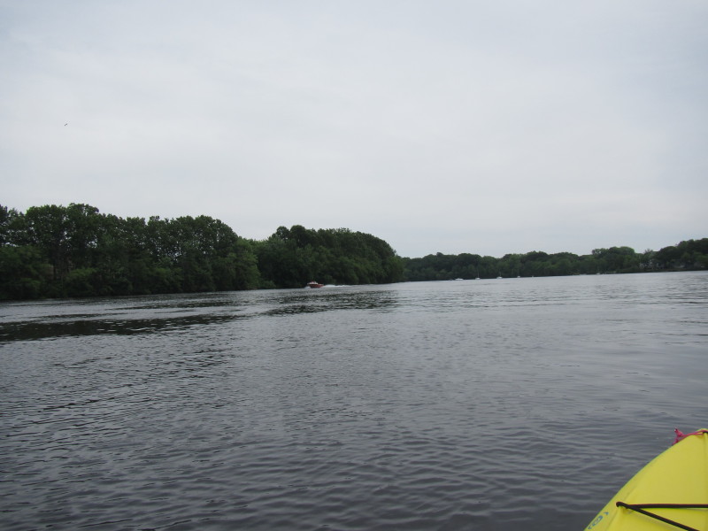
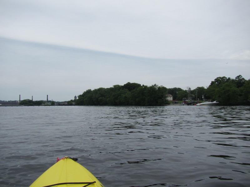
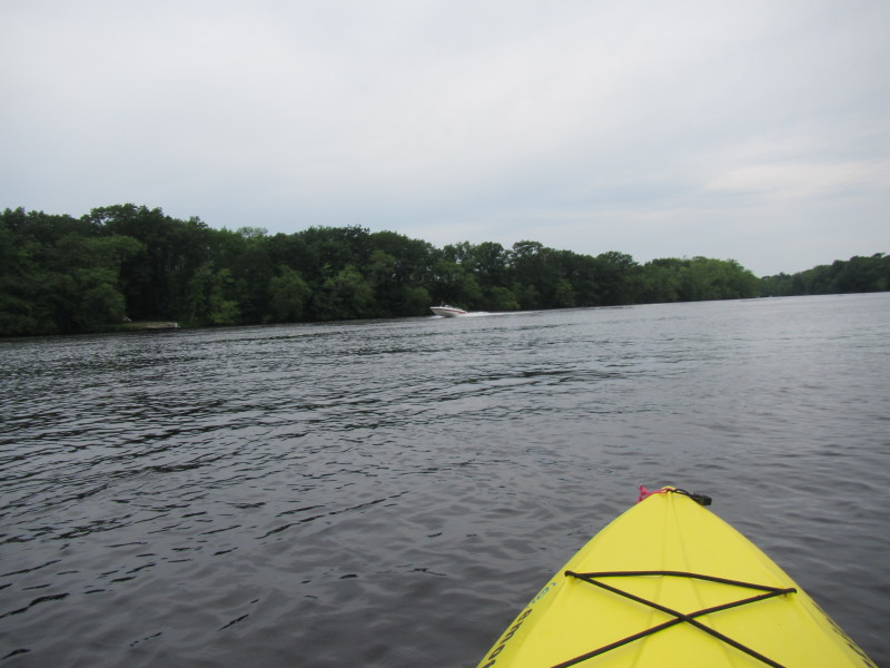 Power boat on Merrimack River.
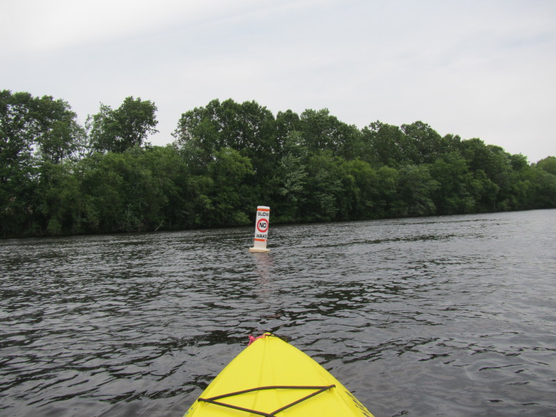
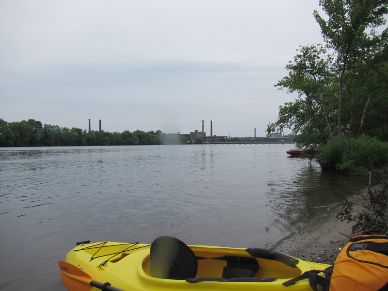
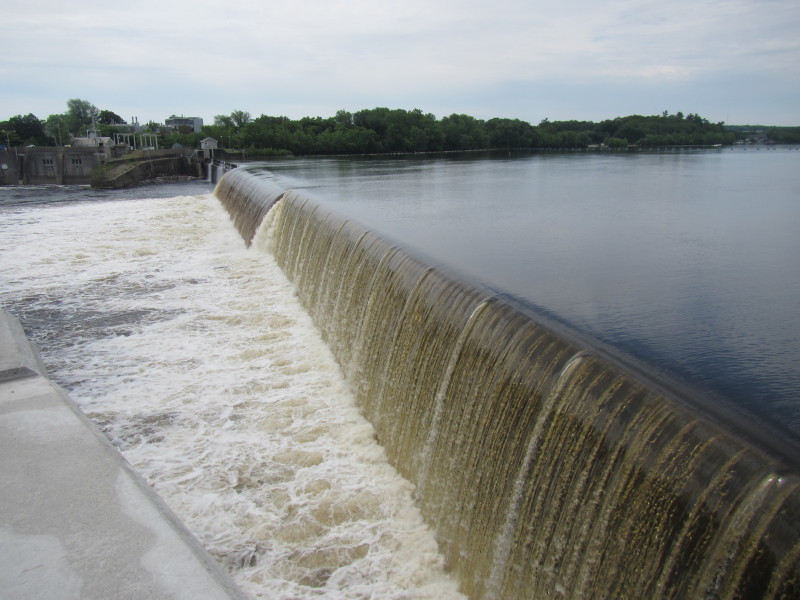
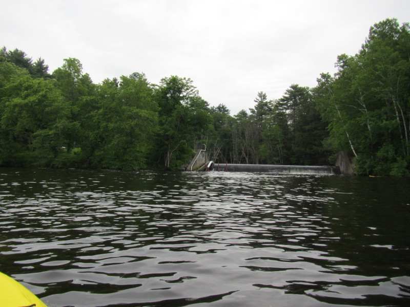 A dam draining into Merrimack River.
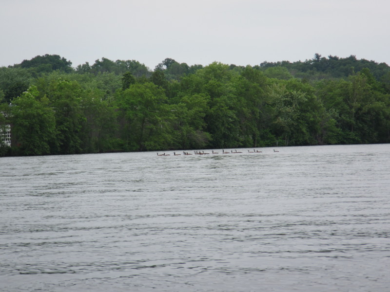
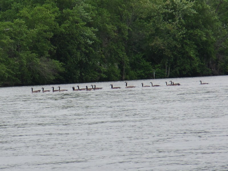 Ducks on Merrimack River.
 I-93 Bridge.
 THe takeout is on the right.
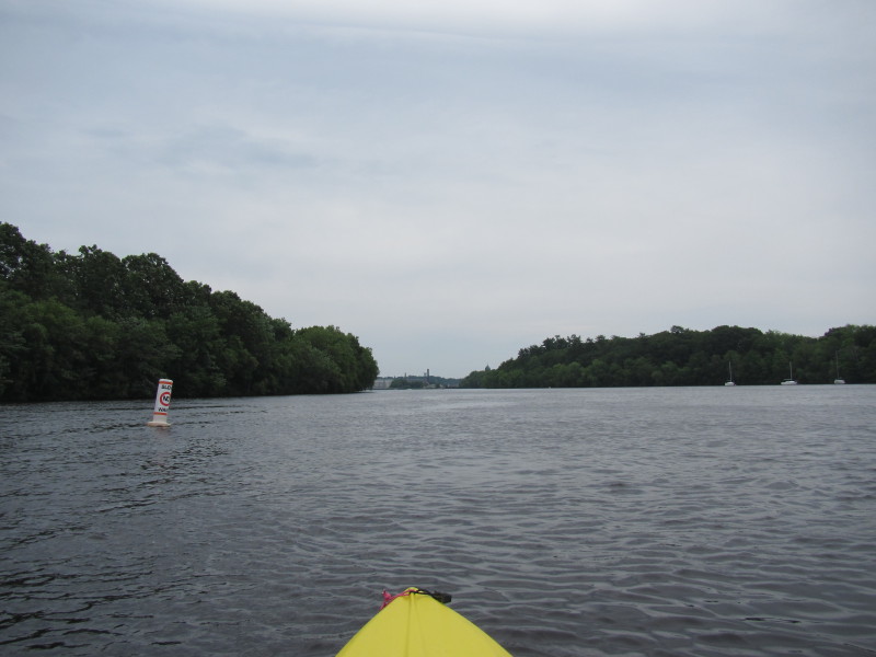
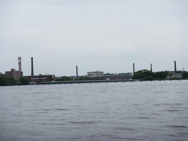 The blue buoys marking the Great Stone Dam.
 Paddled the 10 miles of flowing Merrimack River in 2 hours and 15 minutes.
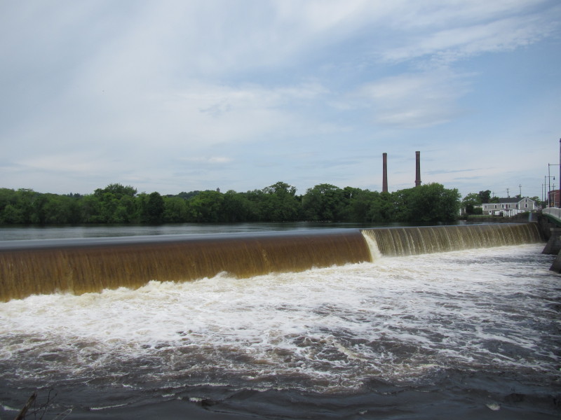 The Great Stone Dam viewed from the south end of Route 28 bridge.
 The Great Stone Dam viewed from the south end of Route 28 bridge.
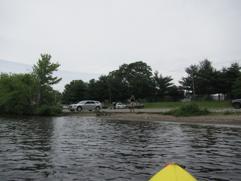
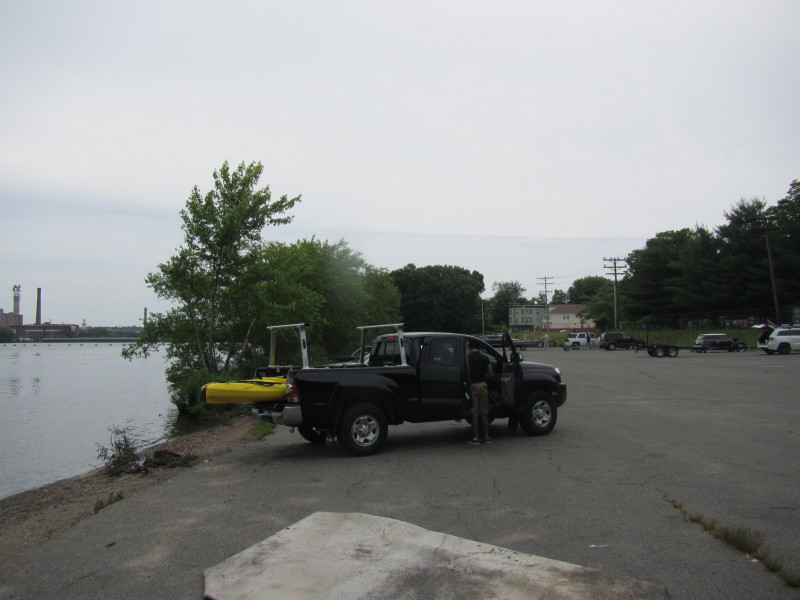
 The take out and launch area is on left (south bank).
|