 Kayaker

|


|
Download printer-friendly
PDF version that fits in one page: |

|
|
Other resources:
Kayak the Merrimack Trip Report Lower Merrimack River Paddle Trip Greater Lawrence Community Boating Merrimack River Watershed Council All photos in this website are original and copyrighted.  The Great Stone Dam. Picture taken before kayak trip.
Not really overflowing with water today. Trip date is September 2016. 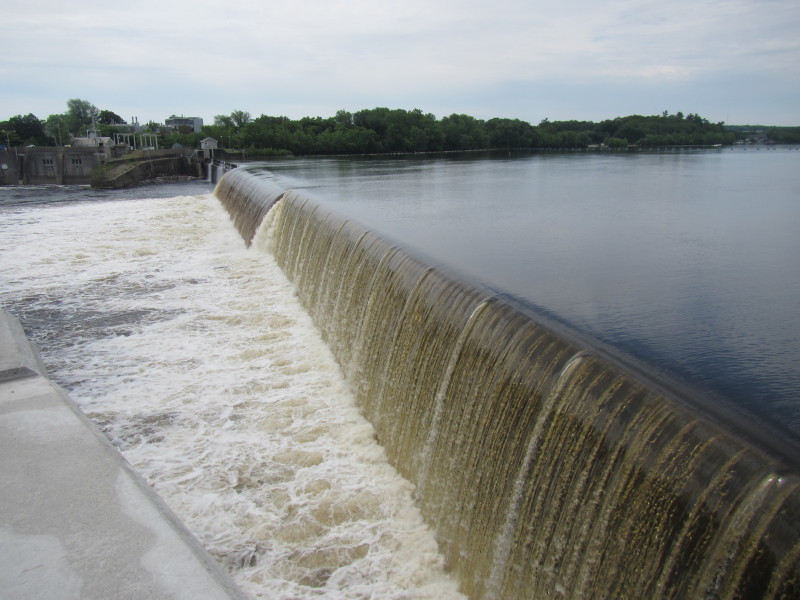 Picture above of the same dam taken June 2013.
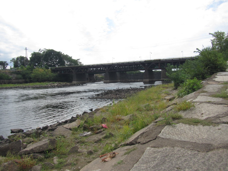
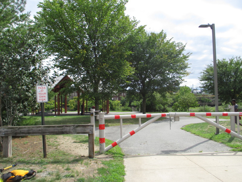 Just downstream of Great Stone Dam, at Pemberton Park on North Canal Street in Lawrence MA.
Picture above and all below from September 2016. 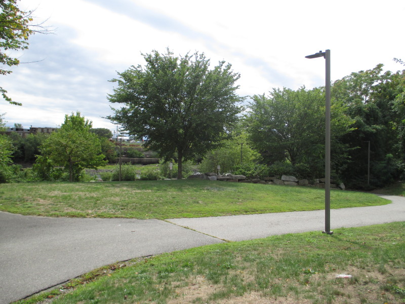 Portage to the water thru Pemberton Park is about 300 feet+.
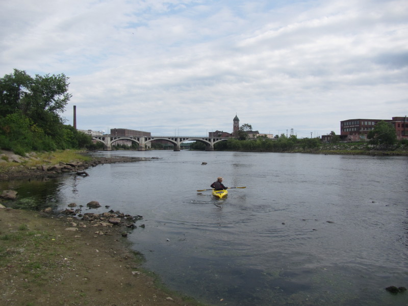
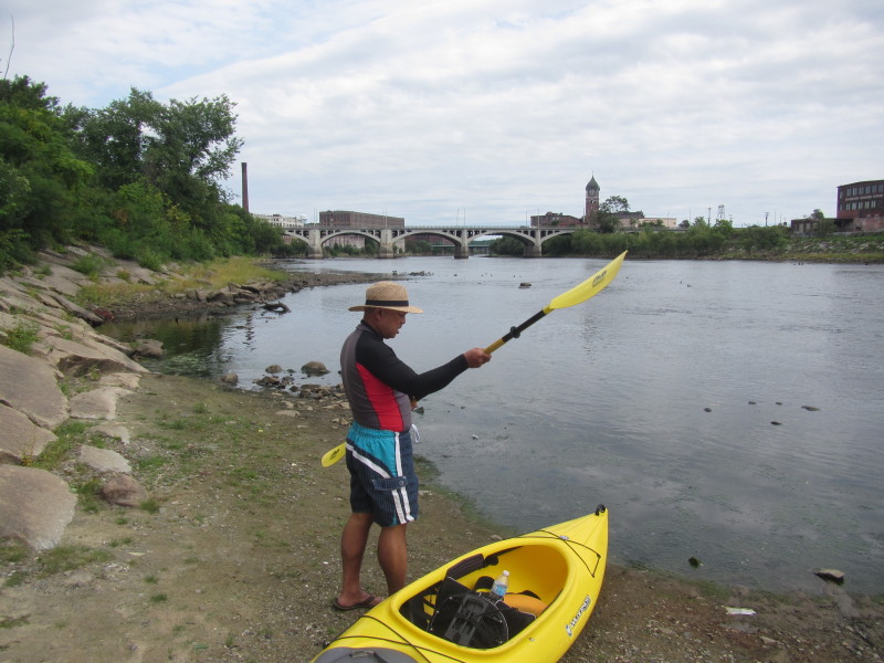 The Boston Kayaker on the northern bank of the Merrimack River at Pemberton Park.
 My dutiful wife at the ramp to Merrimack River from Pemberton Park.
 The Great Stone Dam behind the bridge more than 20 feet high viewed from the put in.
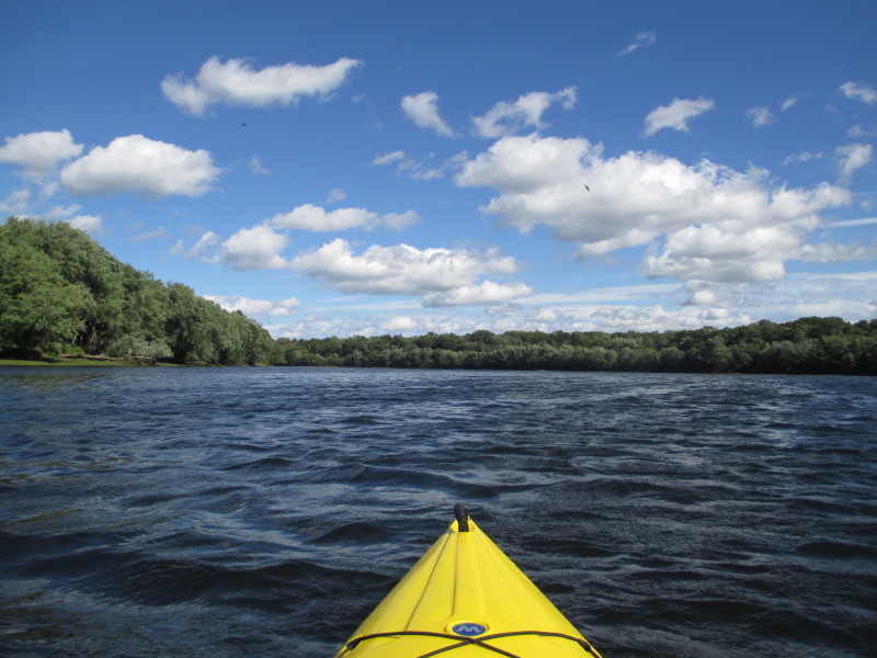
Some rapids at the bottom of the dam. 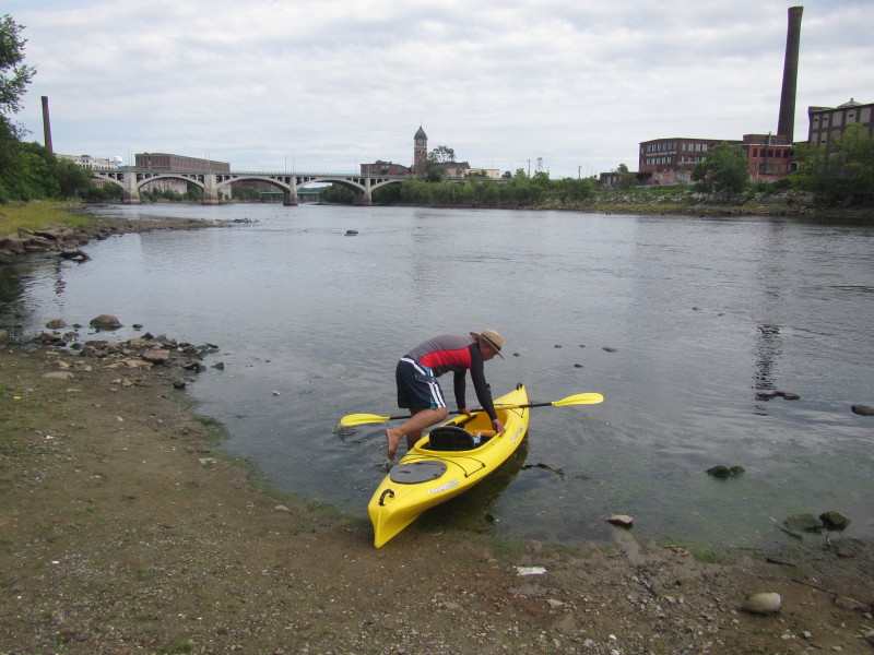
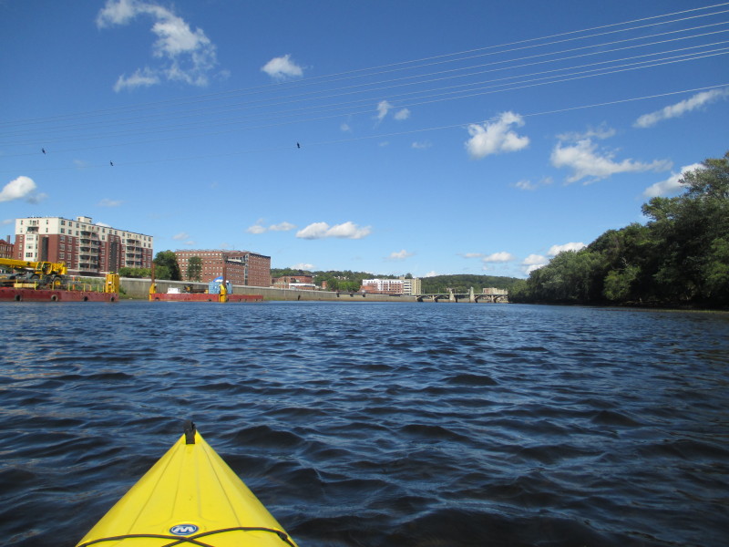
 The Boston Kayaker just launched on Merrimack River from Pemberton Park in Lawrence MA.
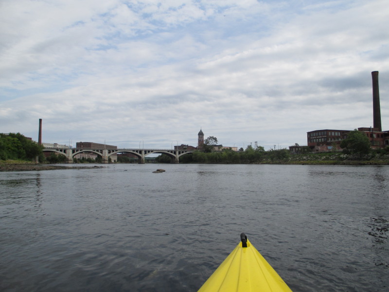
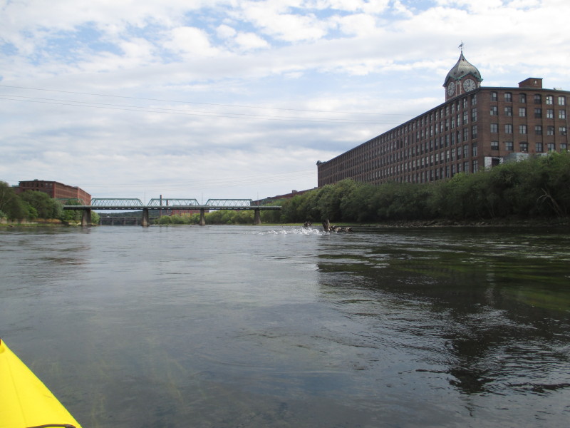
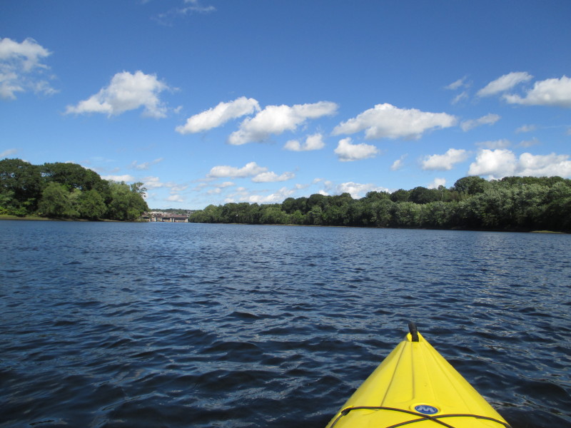
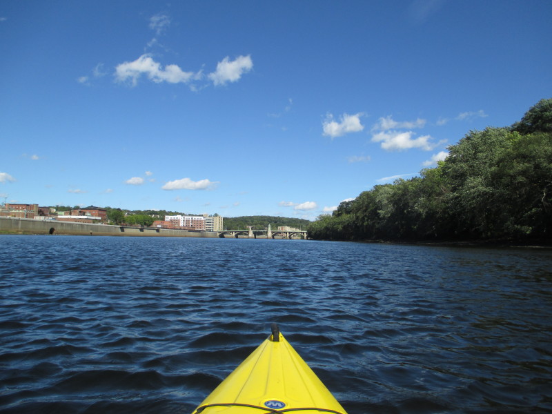
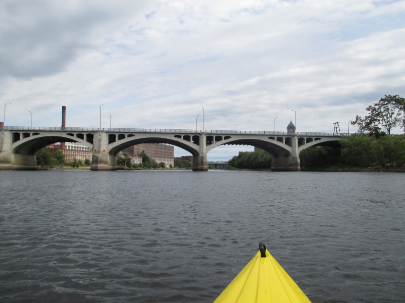 Approaching Joseph Casey (Amesbury Street) bridge, the first of many bridges.

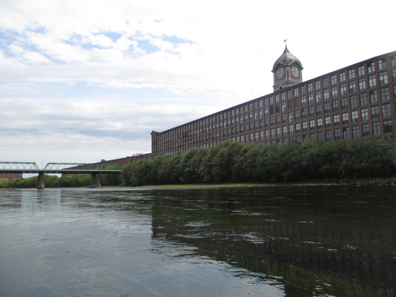
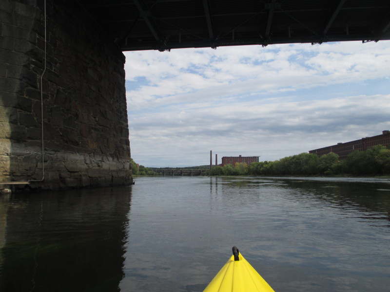
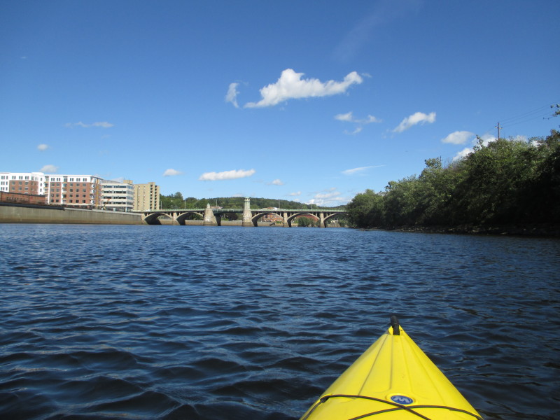
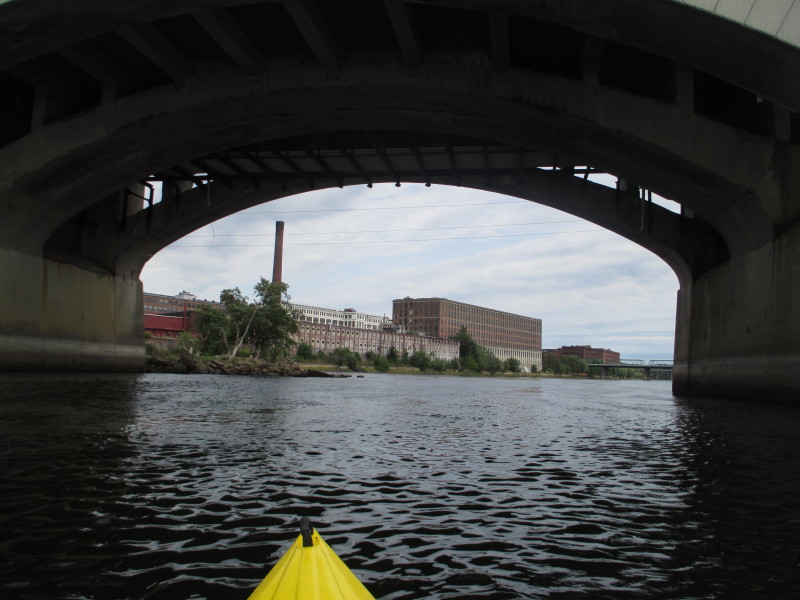 Passing under the Amesbury Street bridge over the Merrimack River.
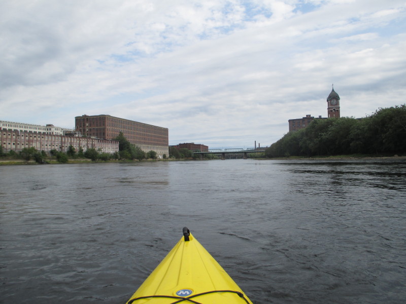
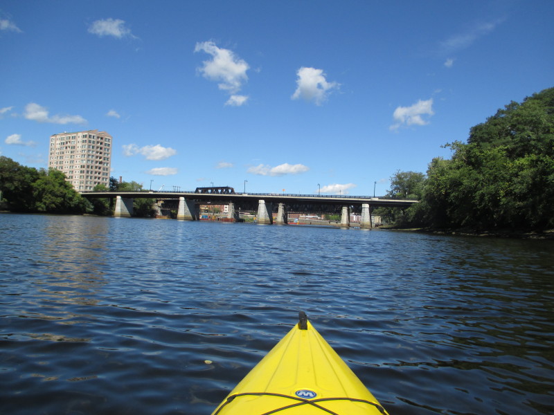
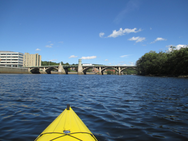
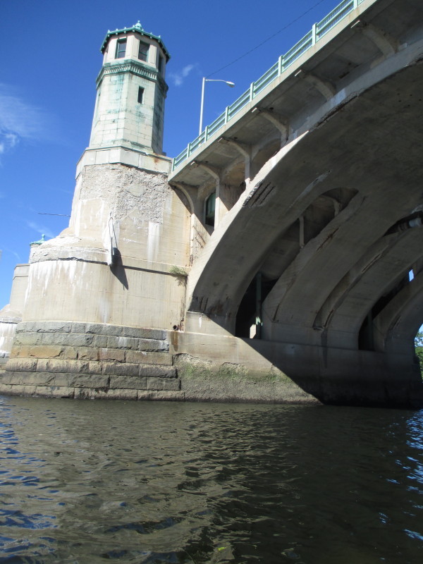
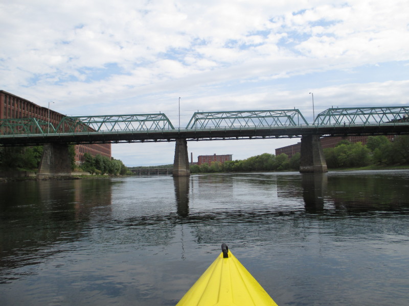 Duck Bridge on Union Street.
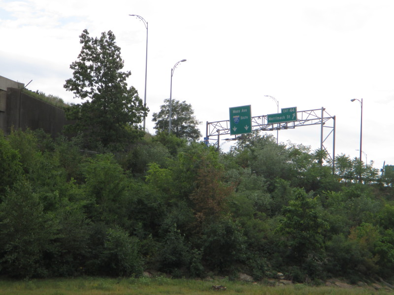
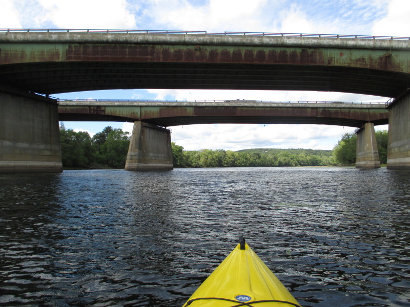
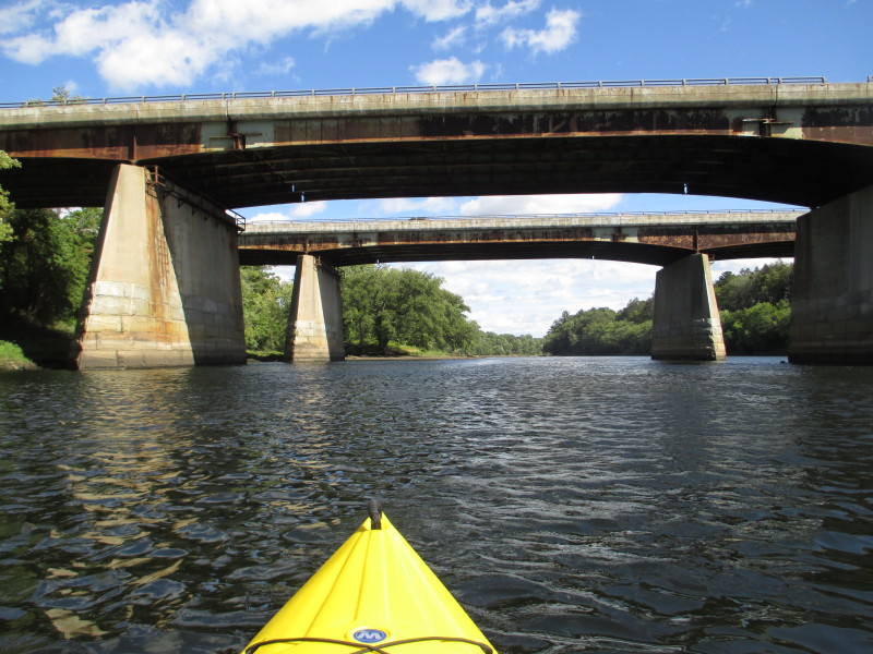
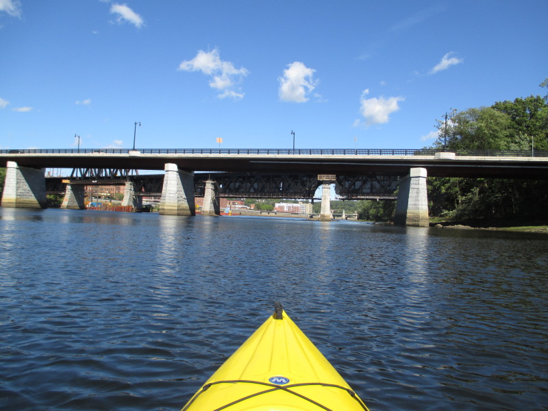
 The I-495 bridges. The-495 will cross the Merrimack River 3 times on this trip.
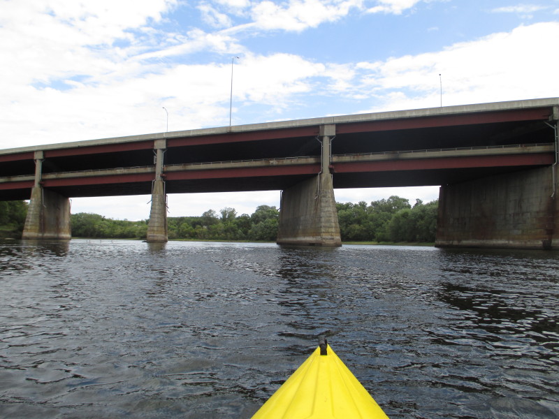 Double-deck bridges.
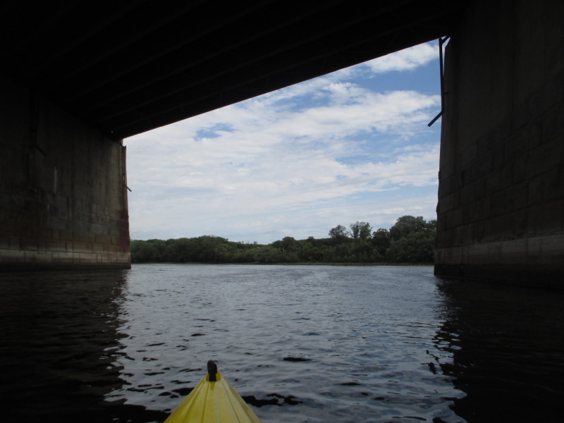
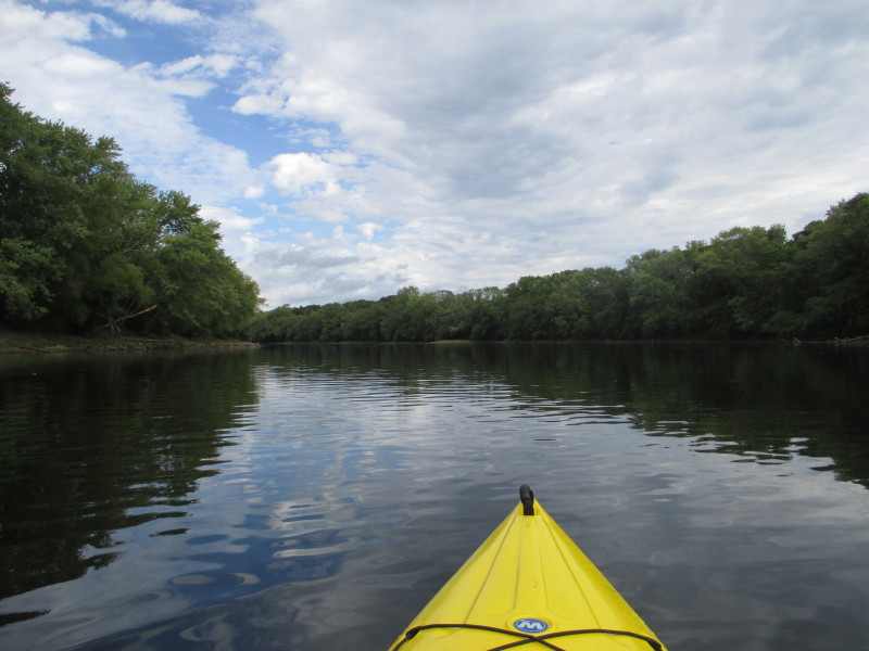
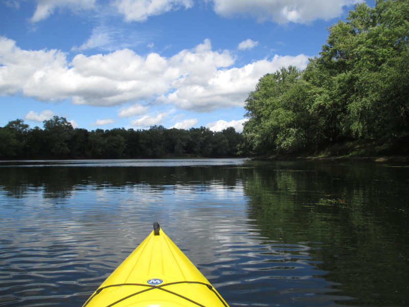
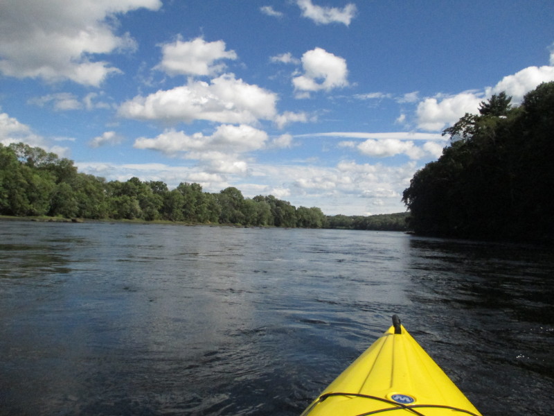
 Past the first set of I-495 bridges, the river bends slight left northwards.
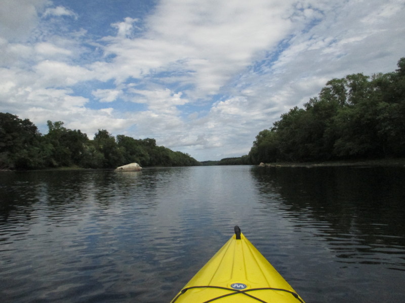
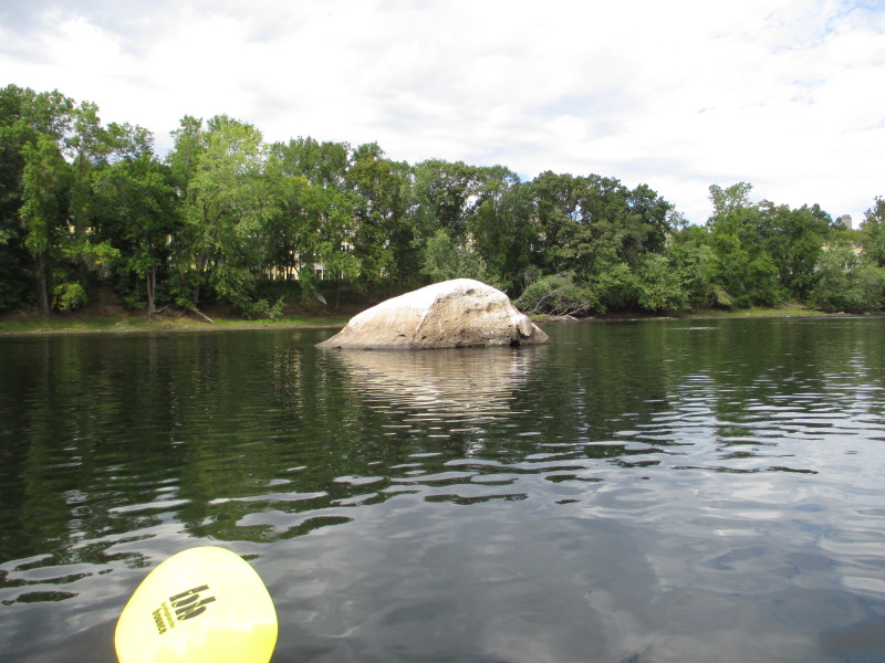
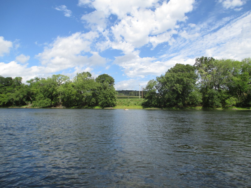
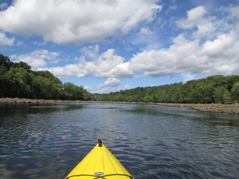
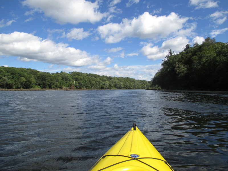
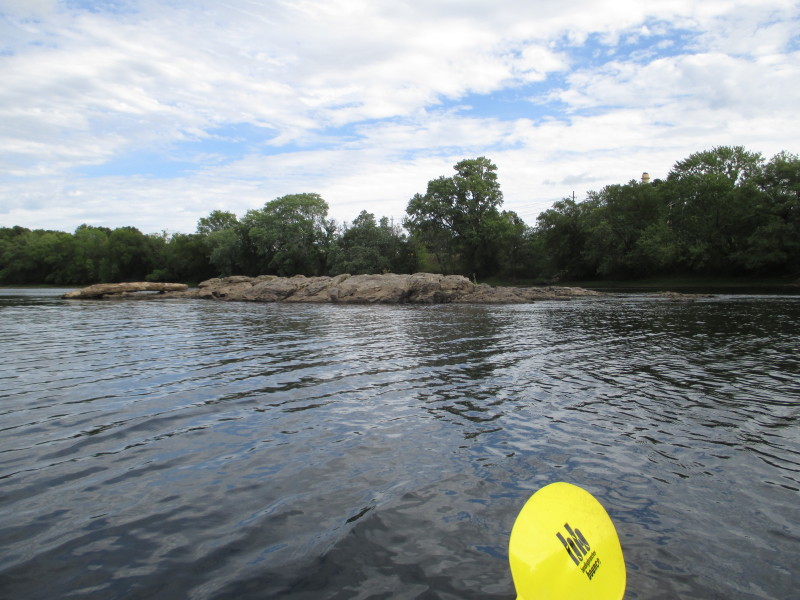 Rock islands.
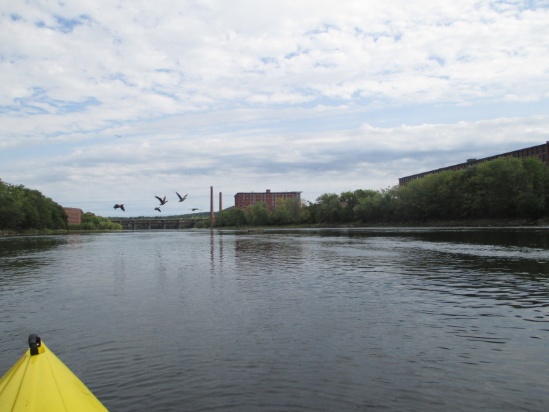
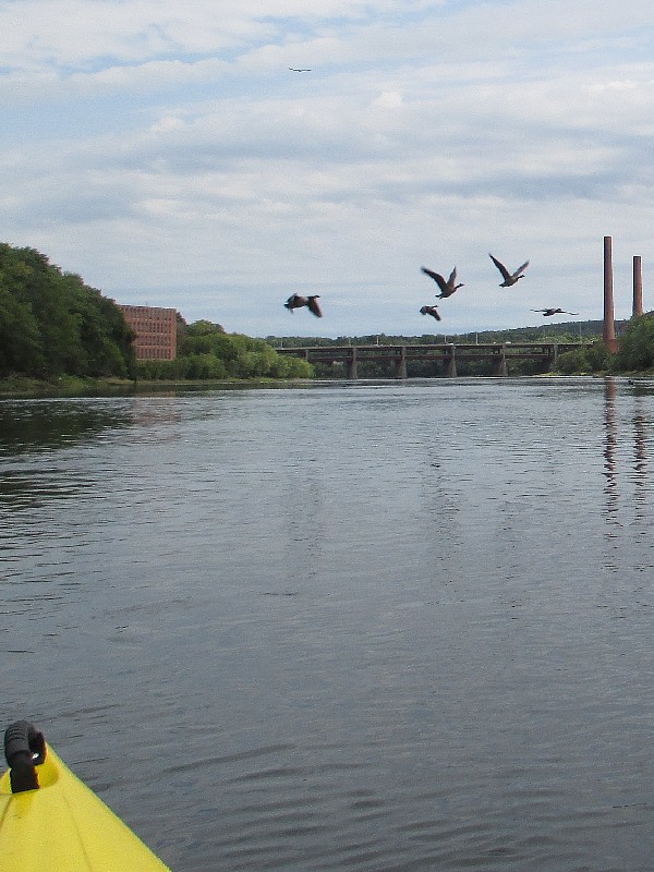
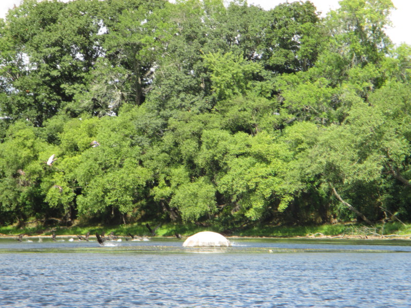
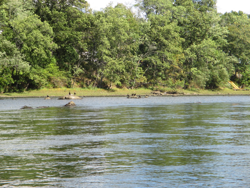
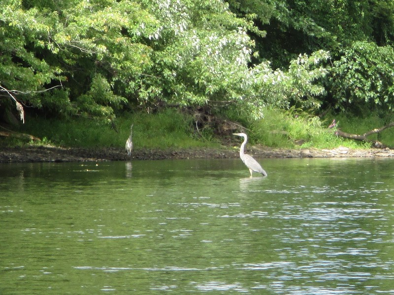 Blue herons.


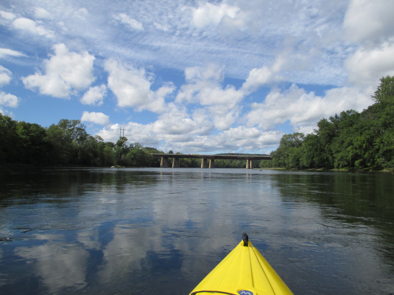
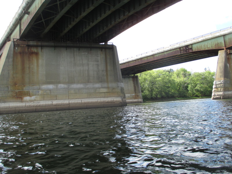
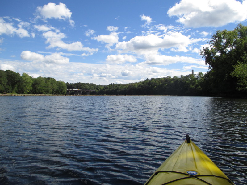
 I can see the second set (of three) I-495 bridges with the easternmost pillars.
 Now I can see two pillars.
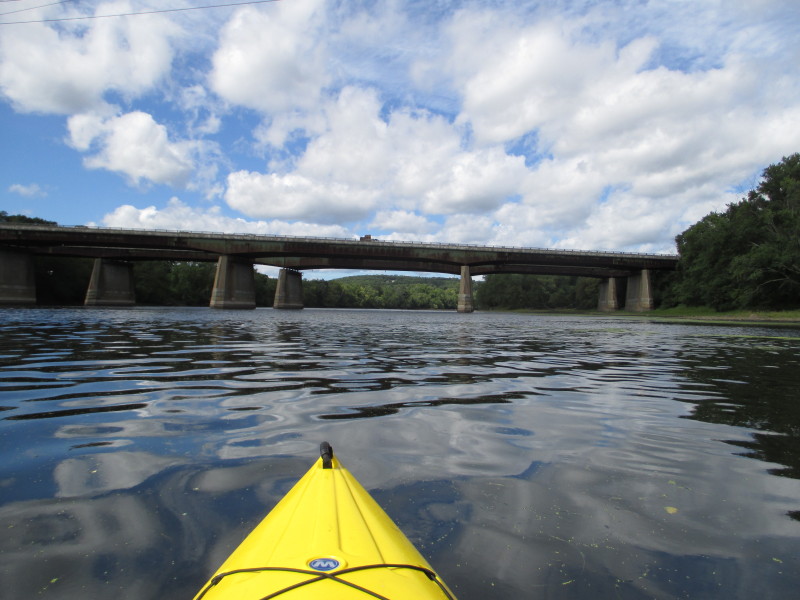
 Three pillars.

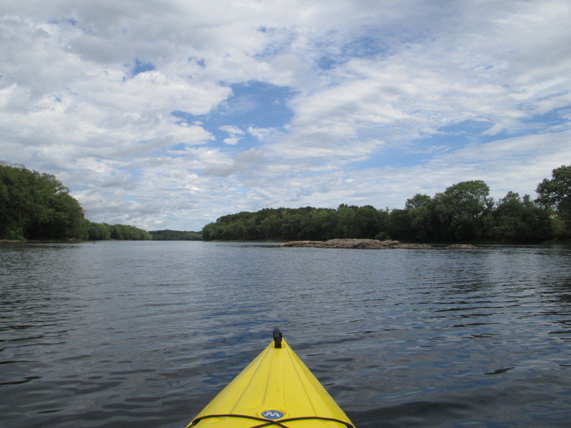
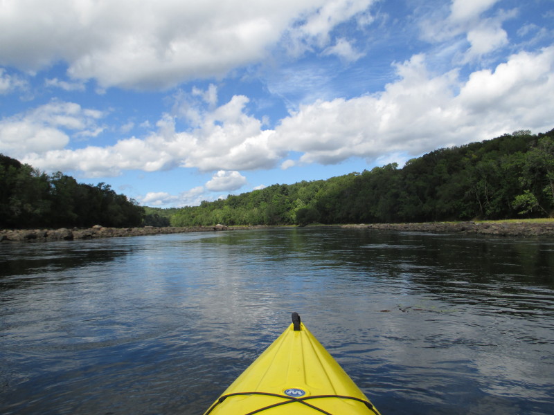
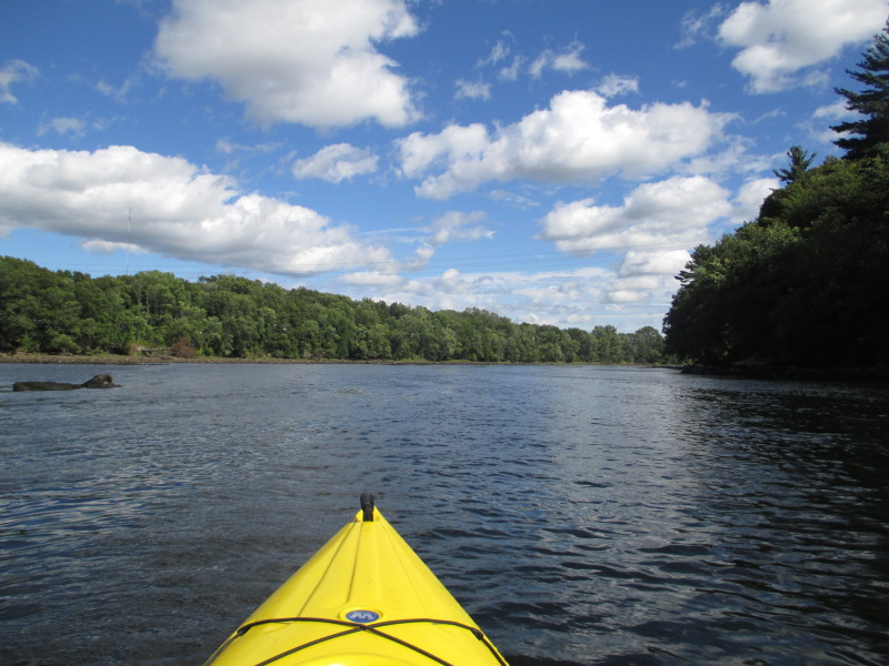
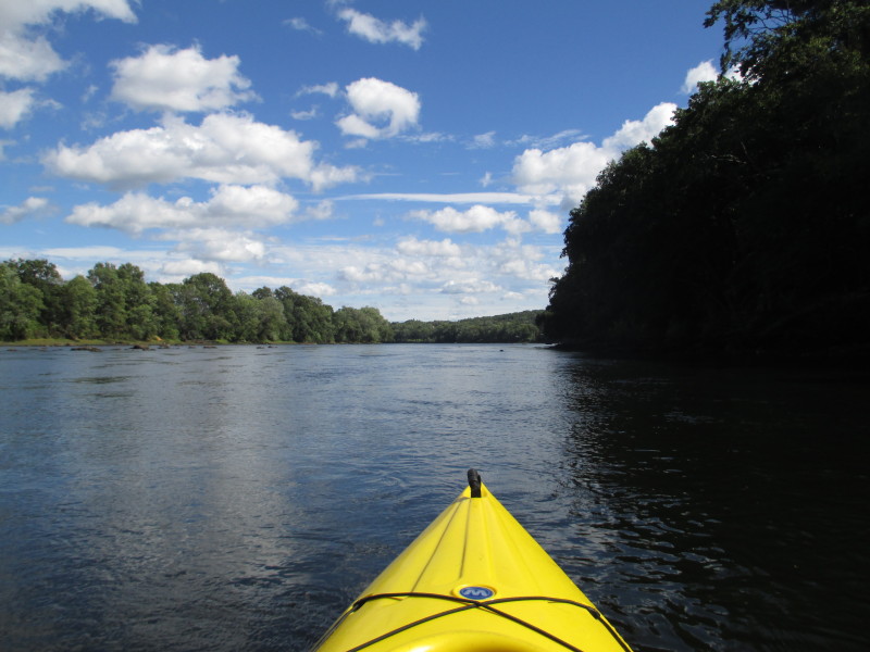
 The rocky islands on both sides are forcing the river water into a narrow channel.
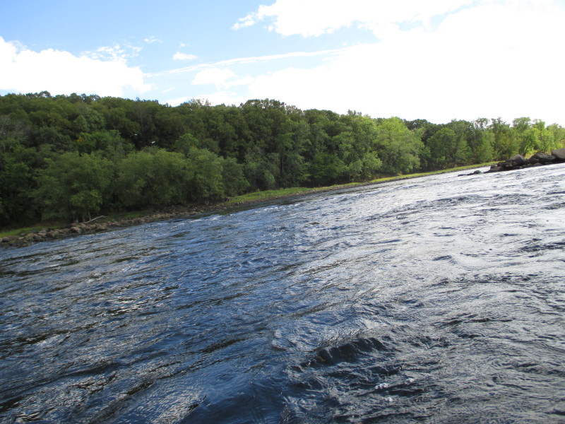
 Enjoying the ride at this fast-flowing narrow channel.
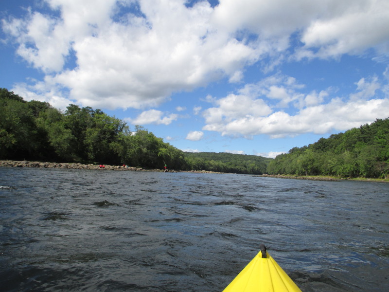
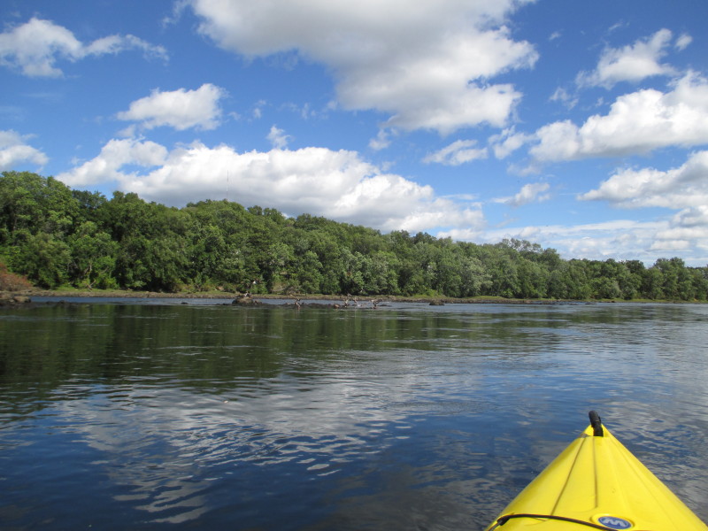
 Kids fishing from the rock islands on left.
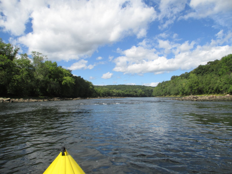 Some ripples ahead.
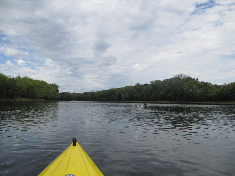
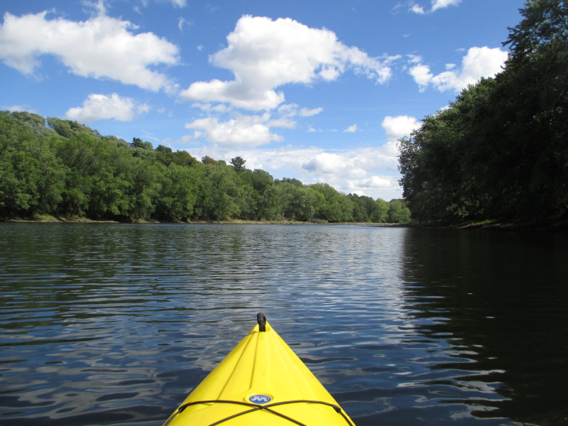
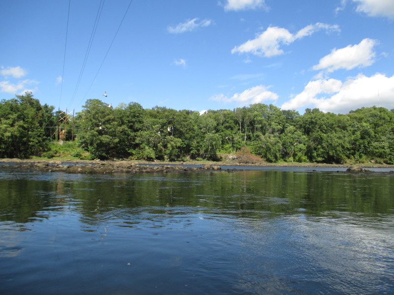
 Looking back.
 I am approaching the spot where the Merrimack River starts a hair-pin turn to the right.
 Still turning to the right . . .
 After the hair-pin turn, the third set of I-495 bridges is visible.


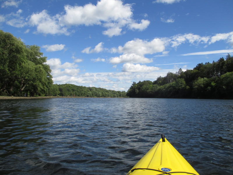
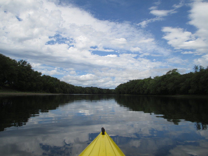
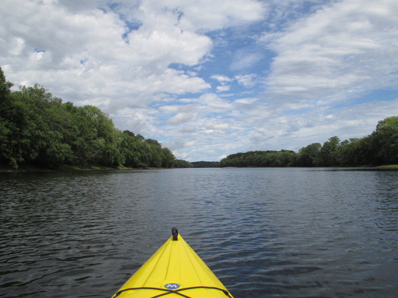
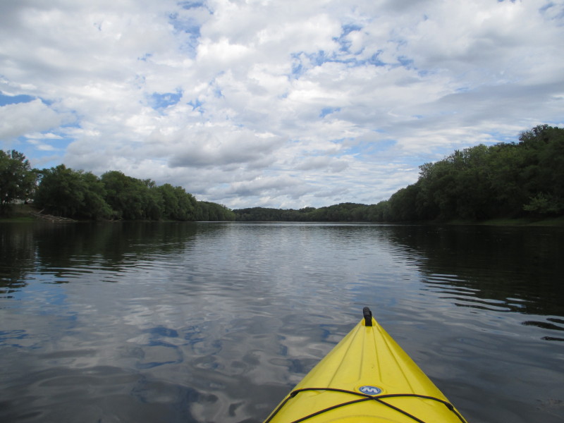
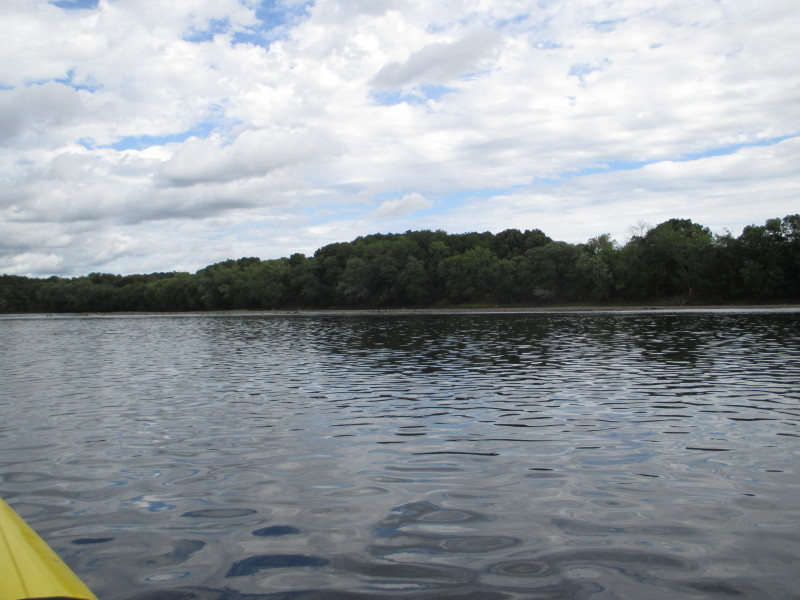
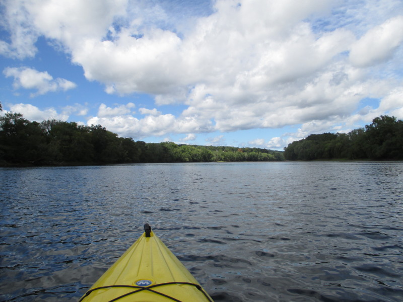
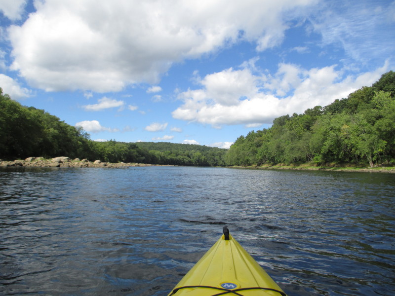
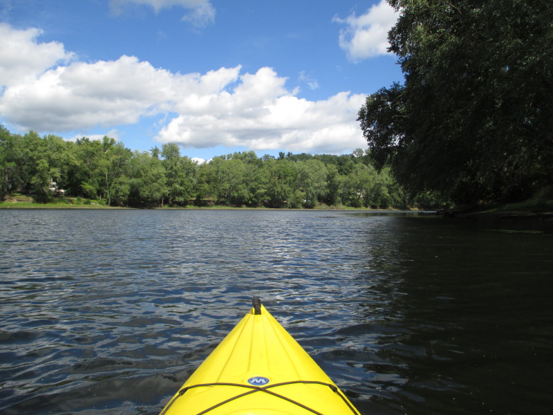
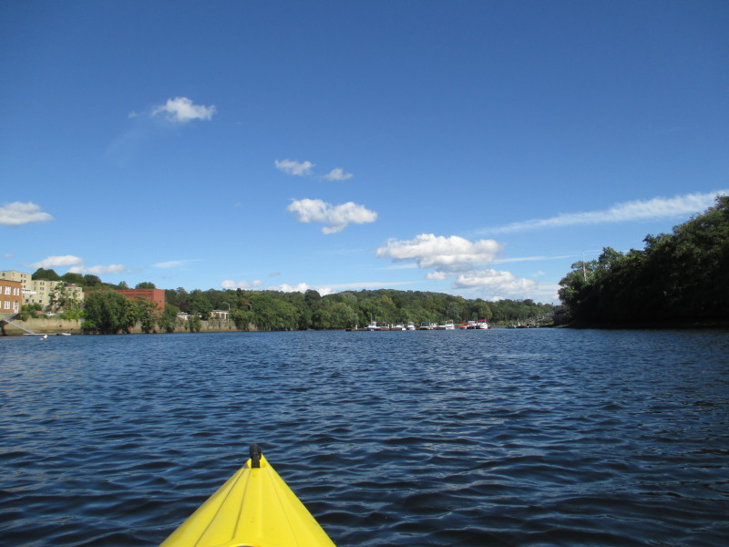
 The Merrimack River is noticeably wider here.
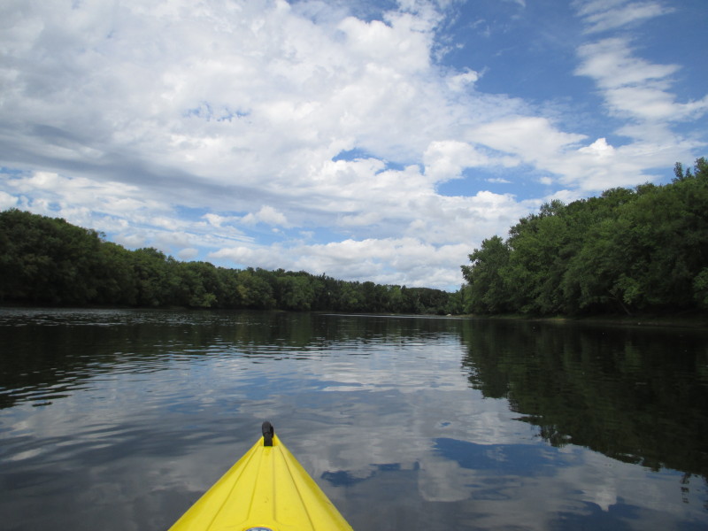
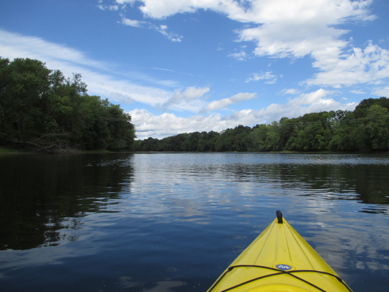
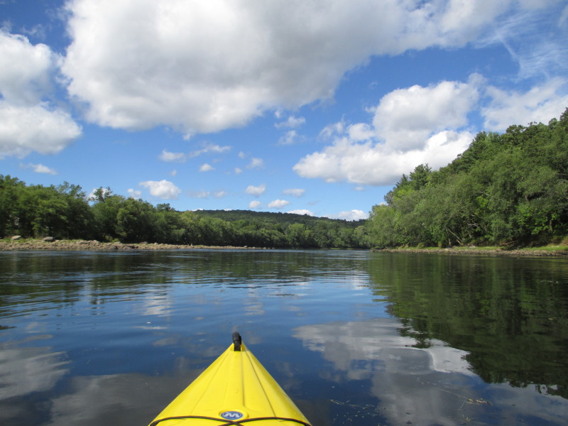
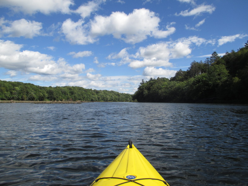
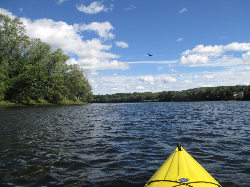
 Merrimack is lake-like here with some small waves as the wind blows.
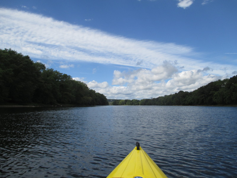
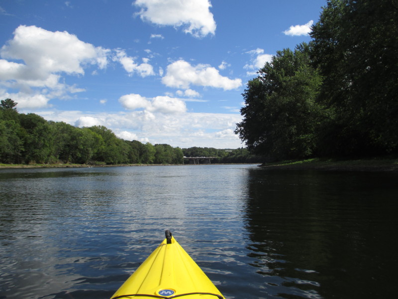
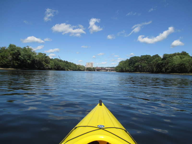
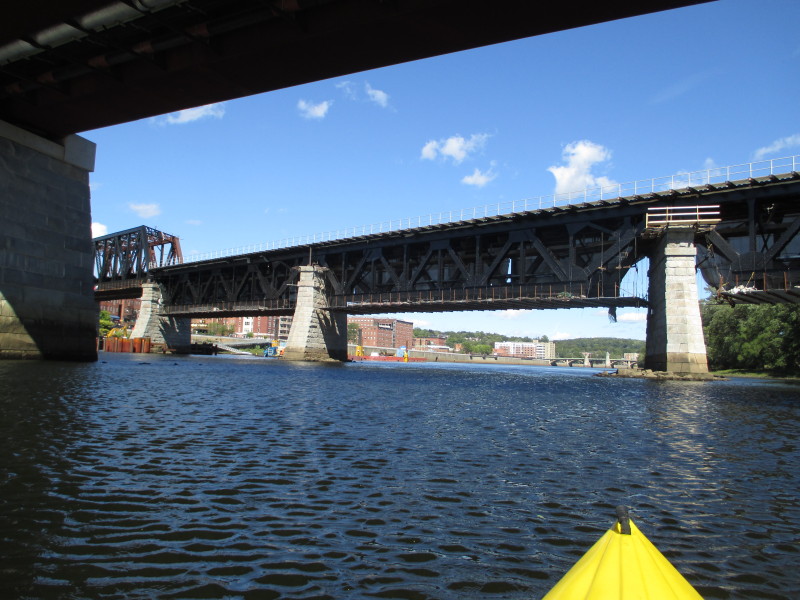
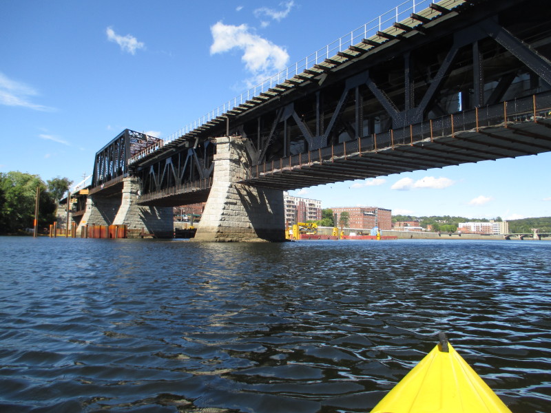
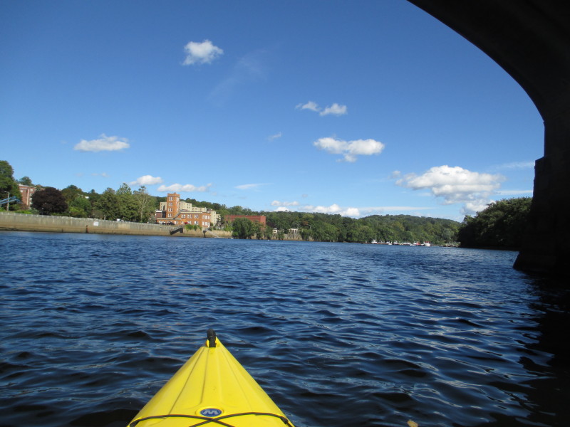
 Ahead is the Comeau Bridge and a railbridge just behind it.
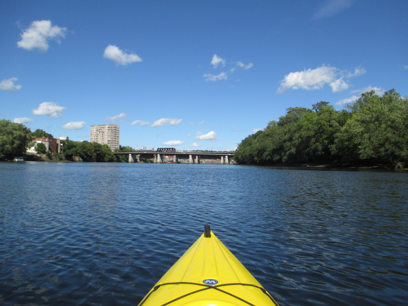
 Comeau Bridge and a railbridge.
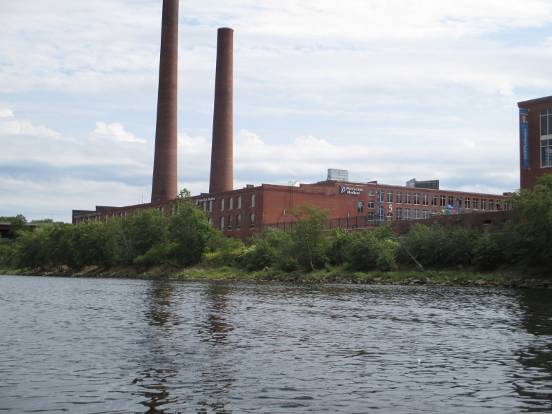
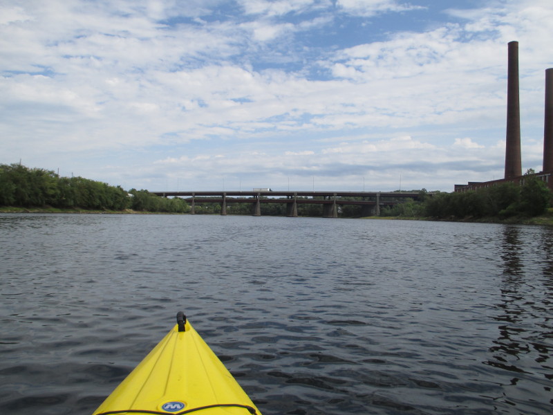
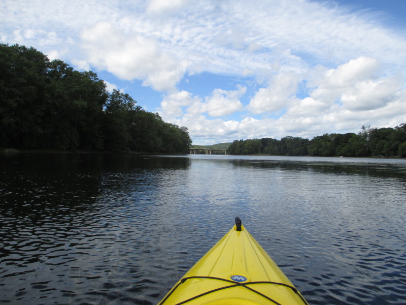
 Bassilier Bridge (Main Street). The takeout ramp will be soon after this bridge.
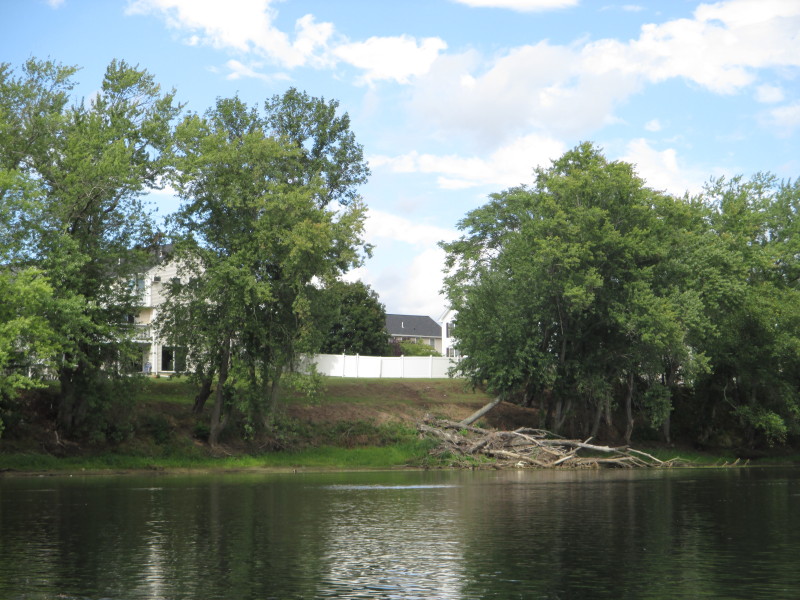
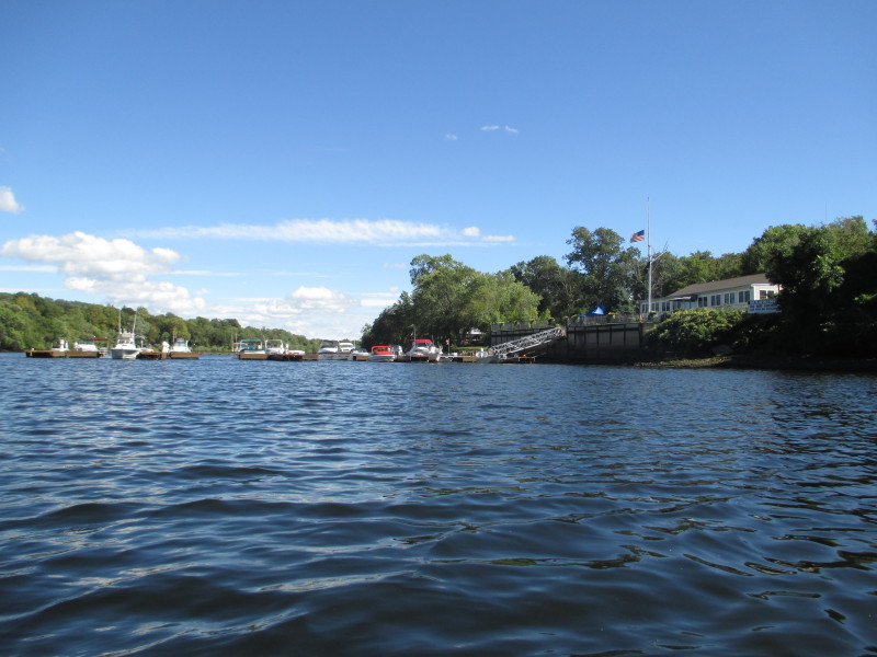
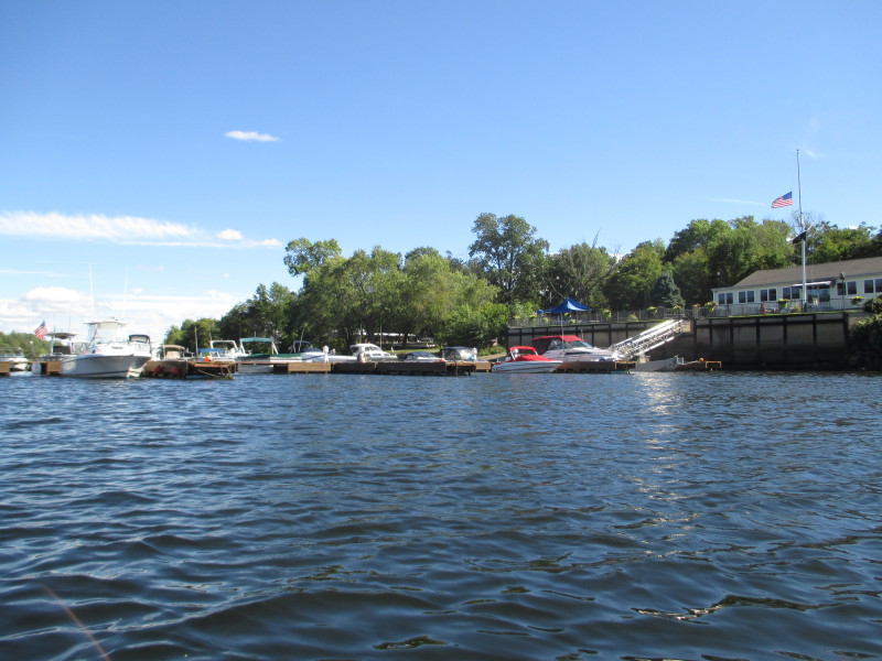
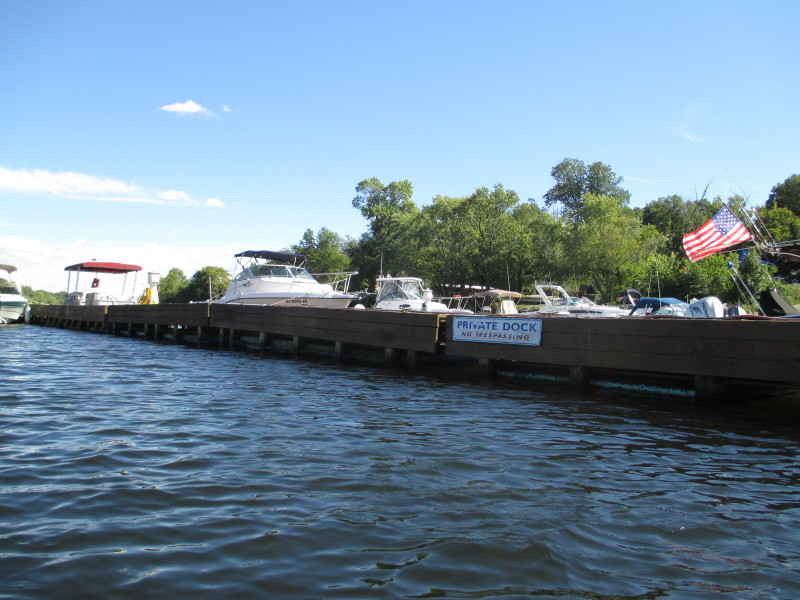
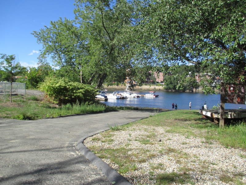
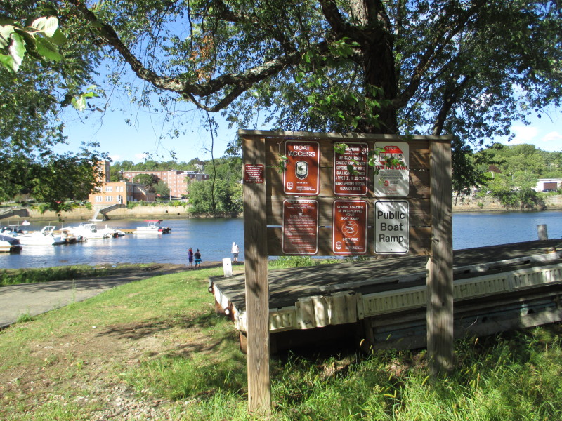
 The small marina next to the public ramp.
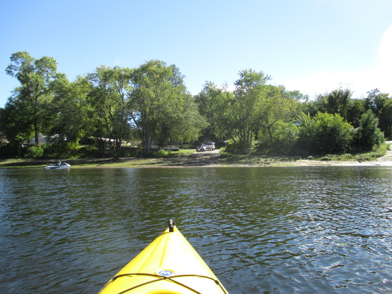
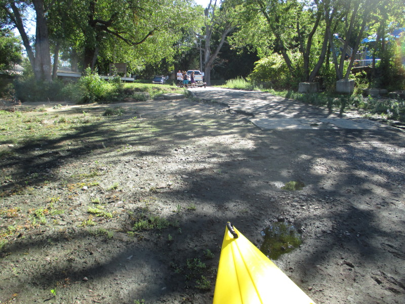 Landed at the ramp at South River Street in Haverhill.
 Paddle time is 2 hours and 35 minutes.
|