 Kayaker

|


|
Download printer-friendly
PDF version that fits in one page: |

|
|
Other resources:
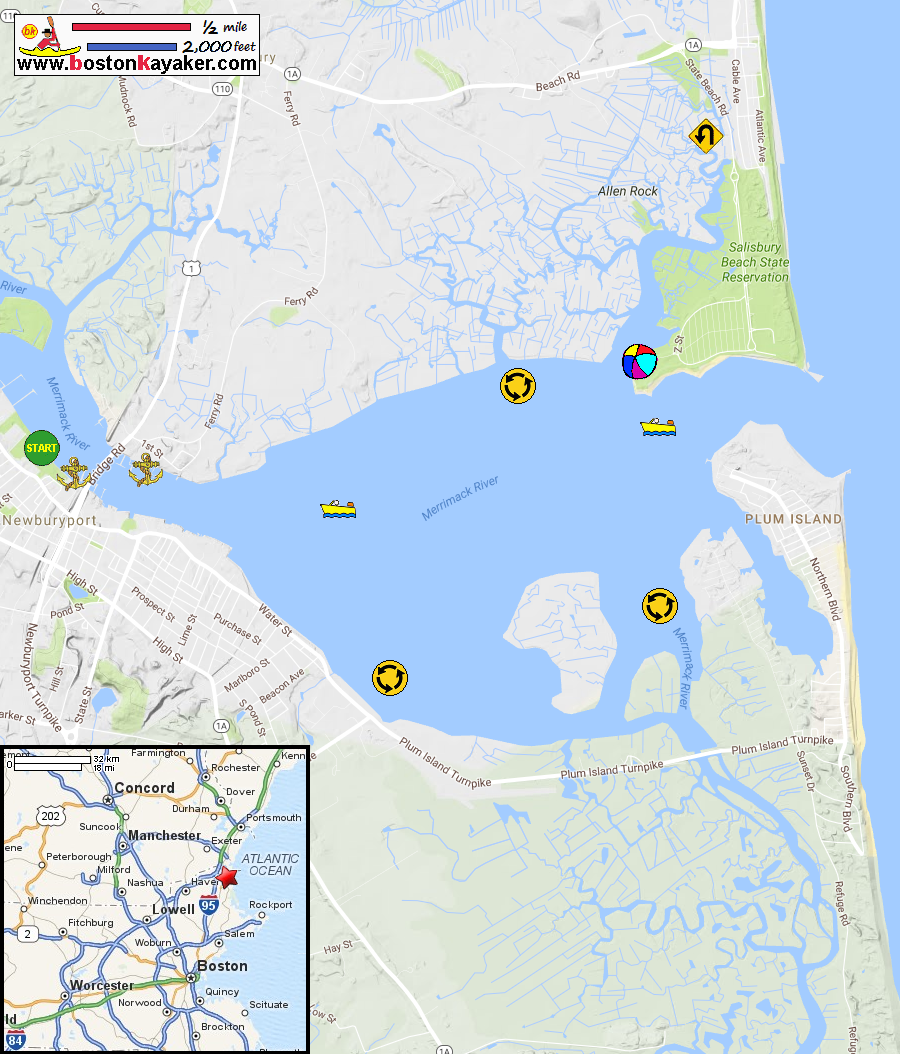
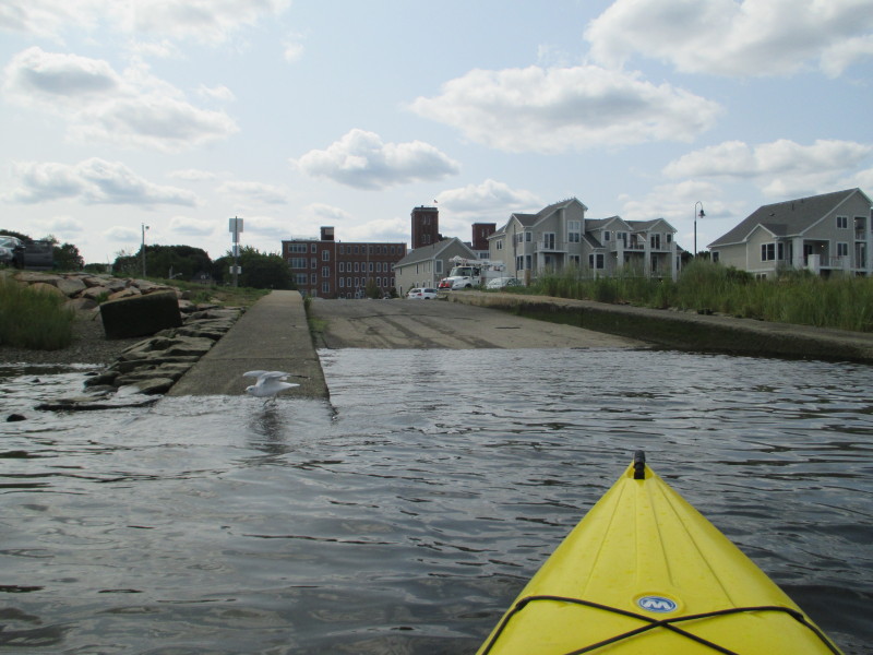
US Harbors: Newburyport Merrimack River Tides All photos in this website are original and copyrighted. 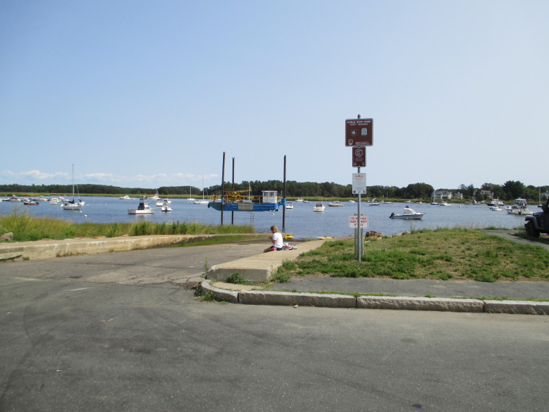 At the ramp to Merrimack River at Cashman Park on Sally Snyder Way in Newburyport MA.
Trip date is August 2017. 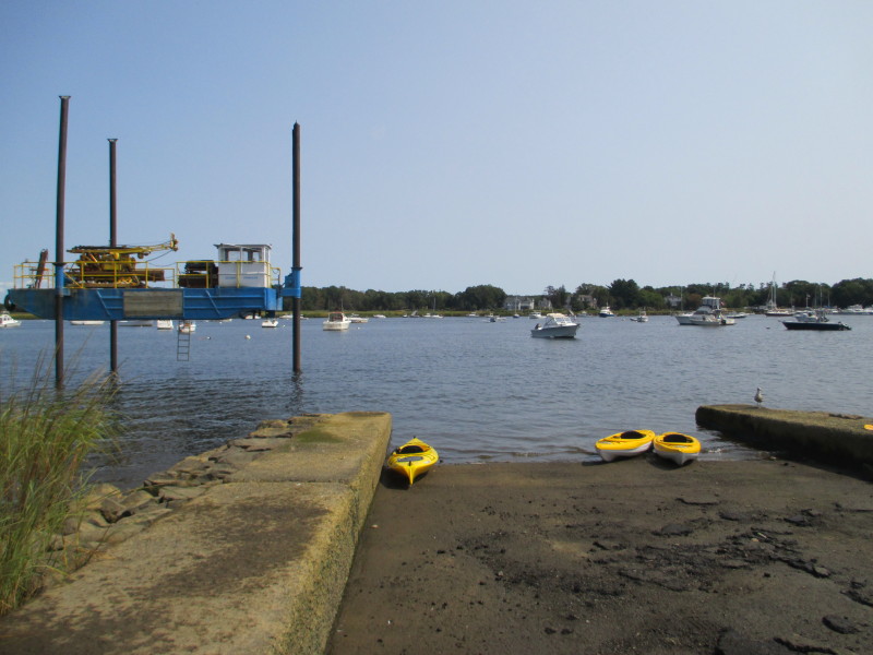 It is about 1 hour and 10 minutes after low tide at Newburyport MA.
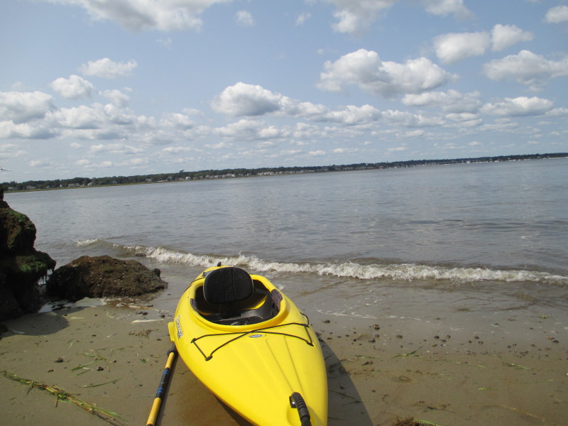
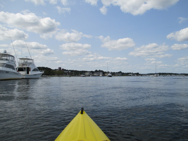
So the tide on the Merrimack River delta will be rising the whole kayak trip (the next 2 hours+). 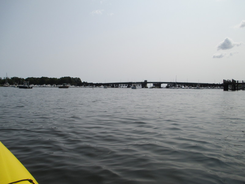 The Boston Kayaker just launched into the Merrimack River Delta at Newburyport MA.
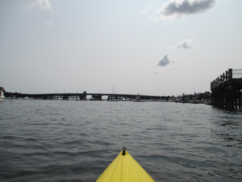 Veered to the right eastwards towards the Route 1 bridge.
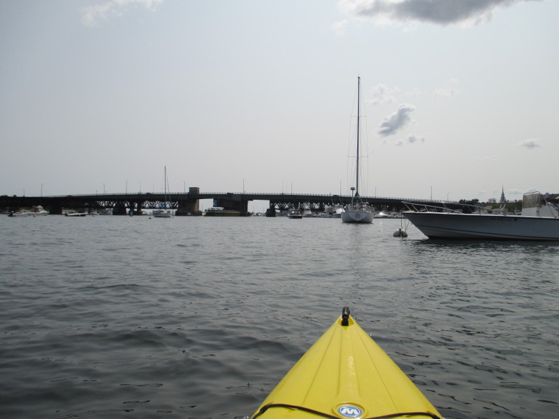
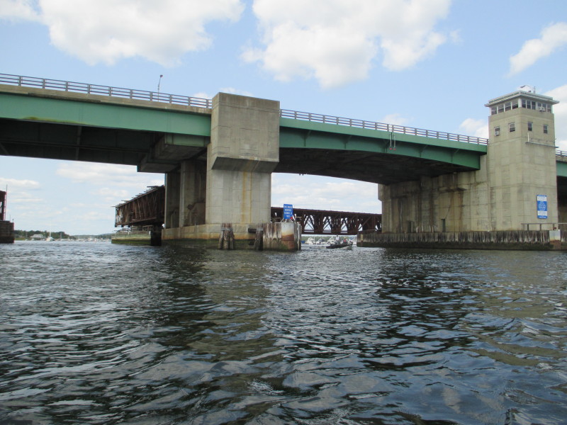
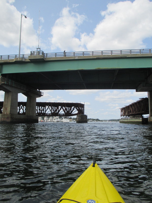
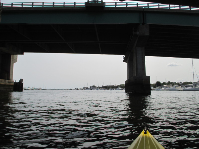 Passing eastwards under the Route 1 bridge on the Merrimack River Delta.
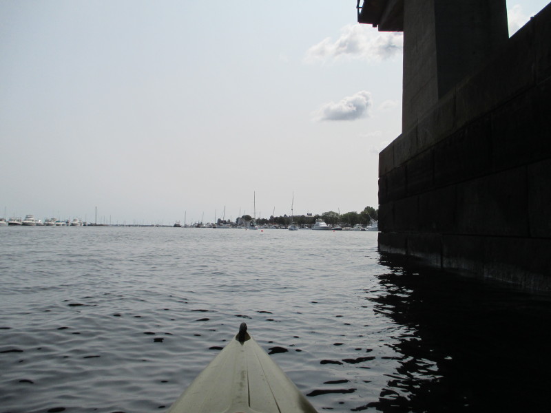
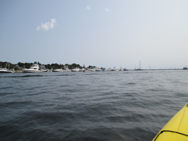
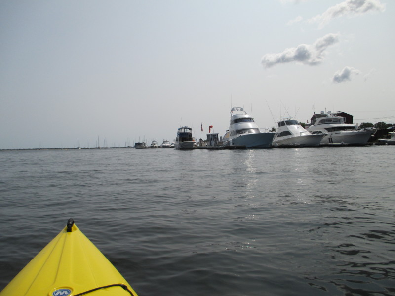
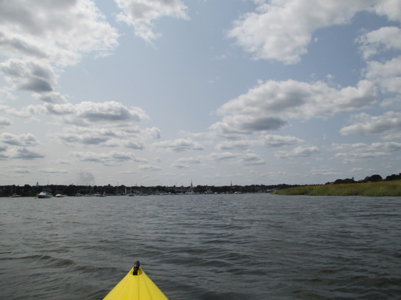
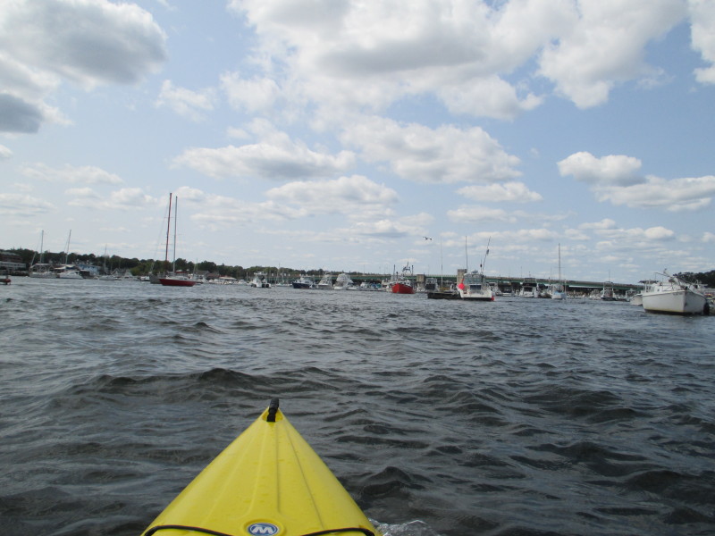
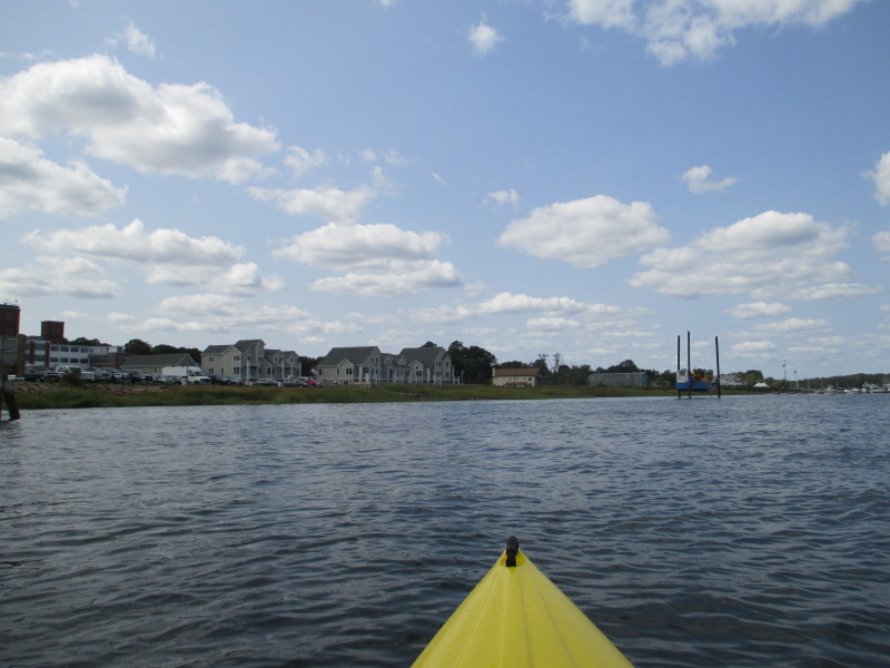
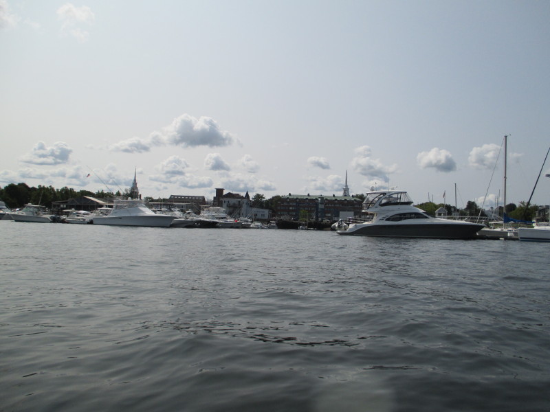 Looking to my right, the Newburyport waterfront.
 Looking to my left.
 An airplane flying over and around the Newburyport center with some ad banner.
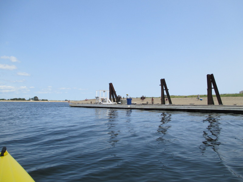
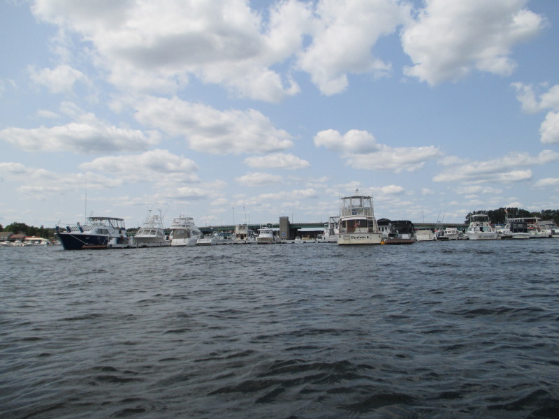
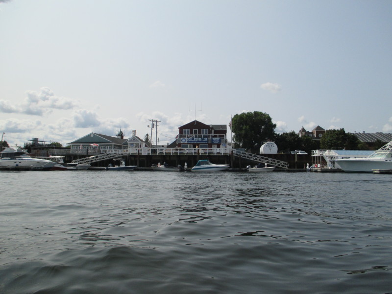 At my right is a marina gas station.
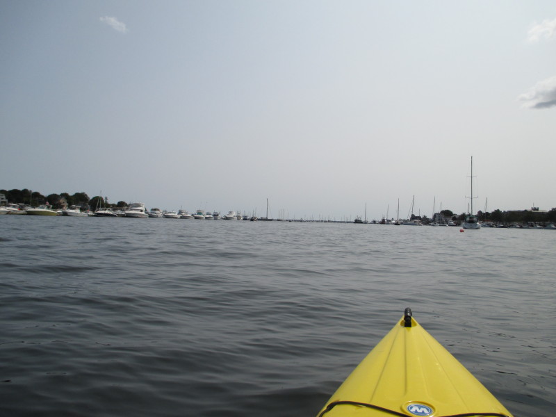
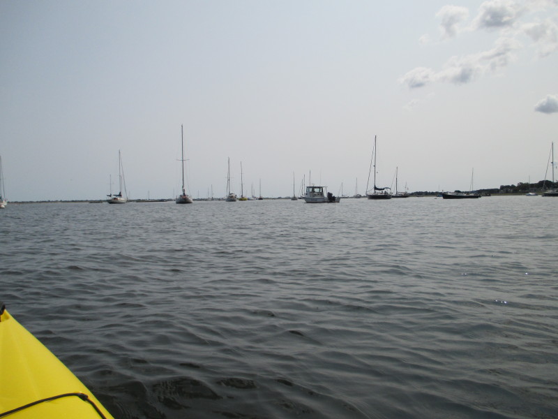
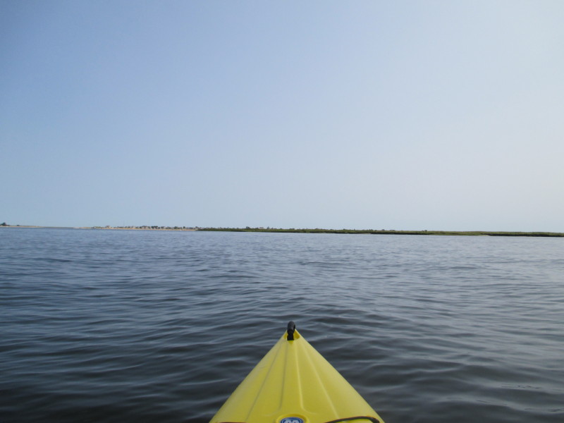
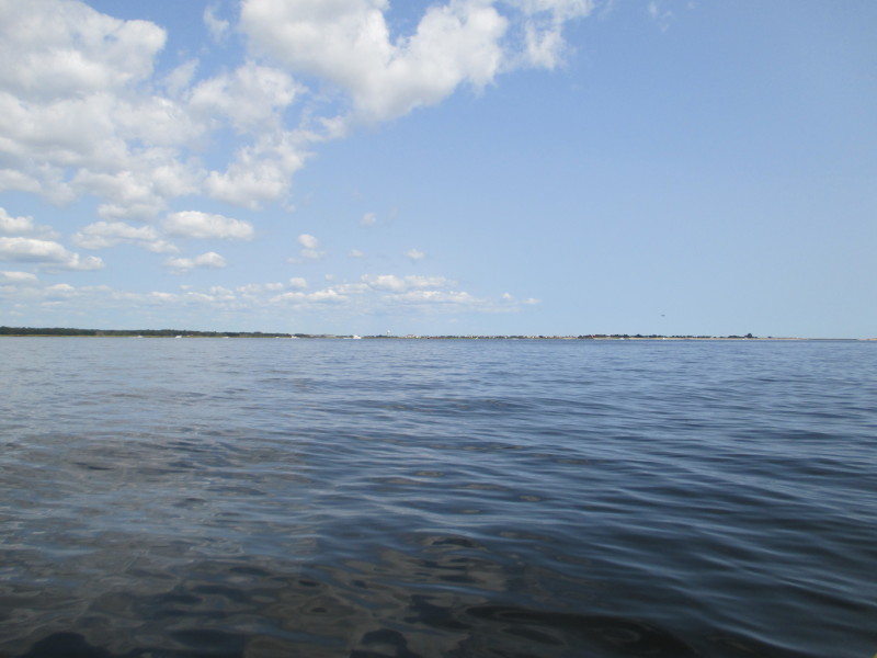
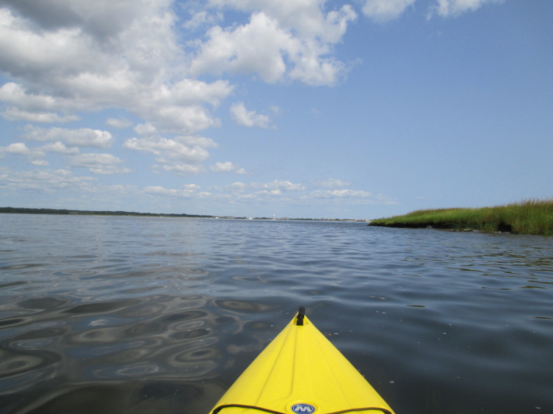
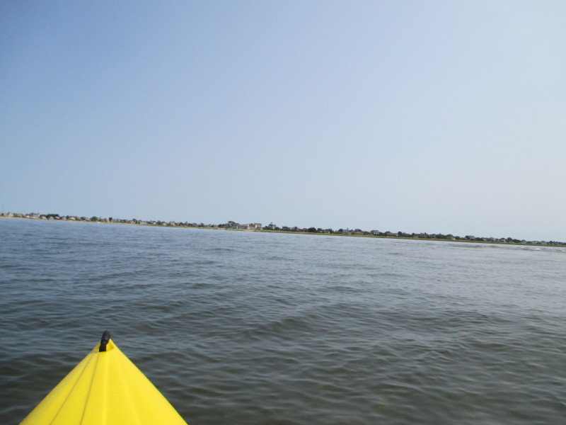
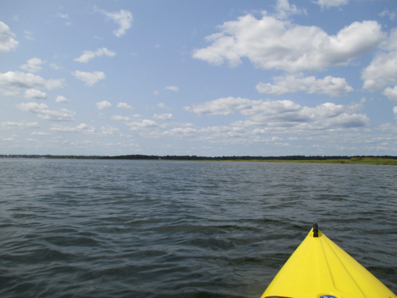
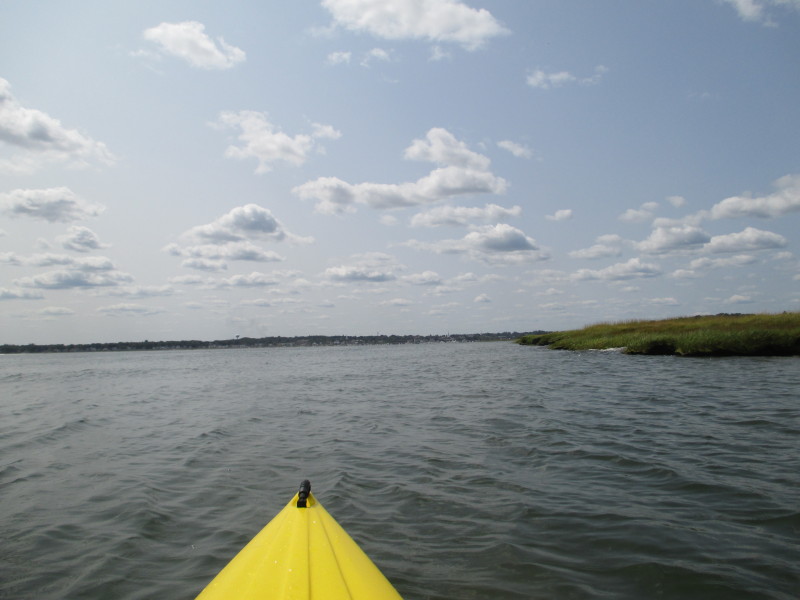
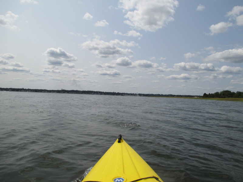
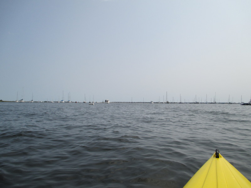 I suddenly find myself in this wide lake of the Merrimack River Delta.
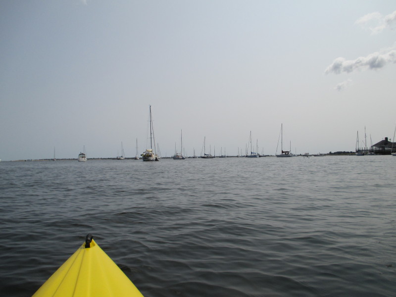 I will just paddle straight.
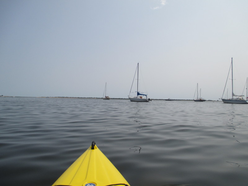
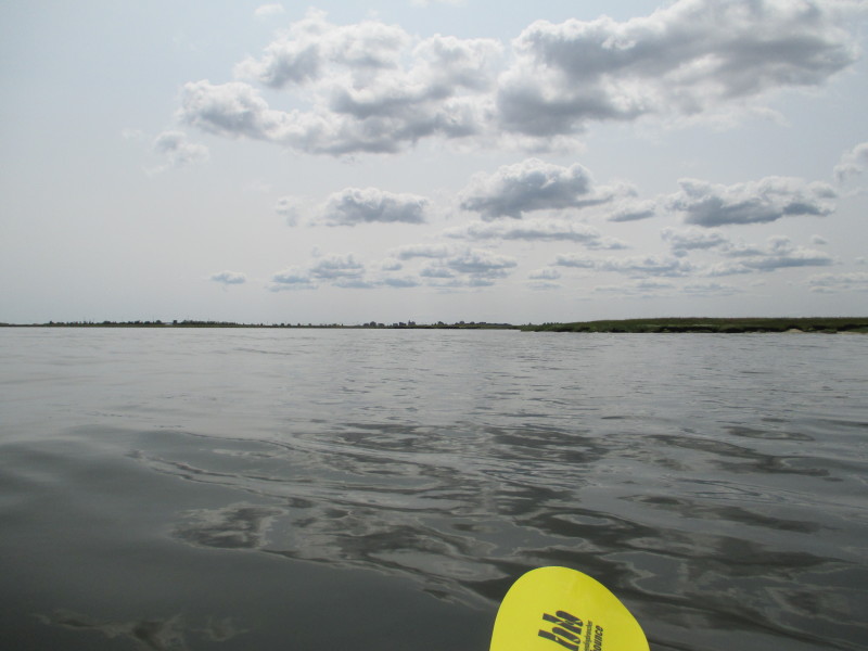
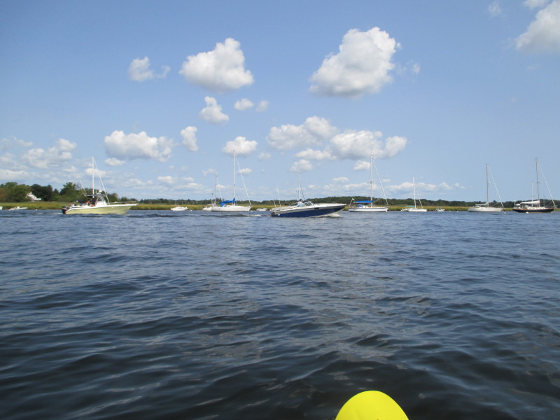 To my left is non-stop traffic of powered boats creating choppy wakes.
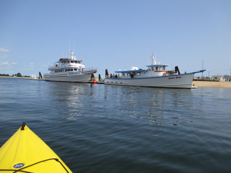
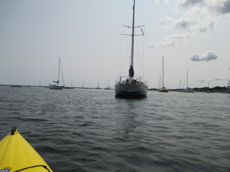 "CYNARA"
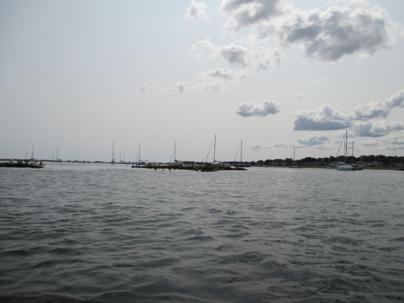
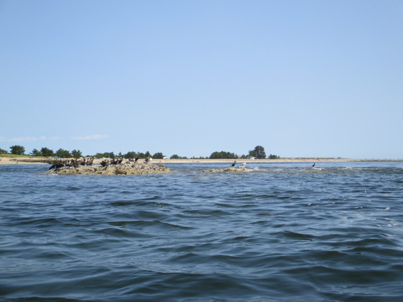
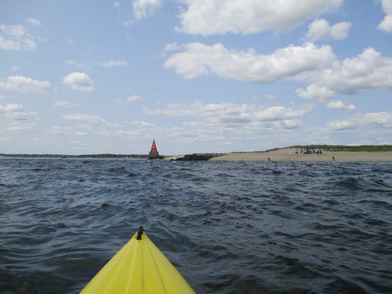
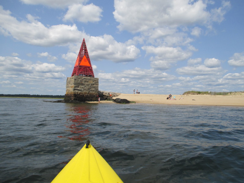
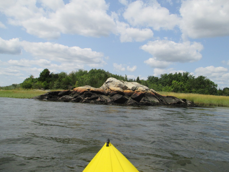
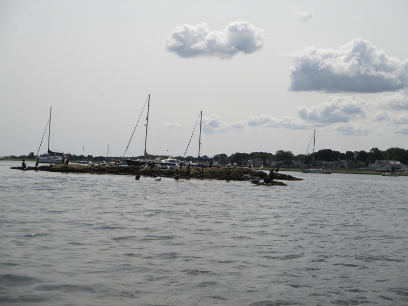 I imagine this rock island will be submerged when the tide goes higher.
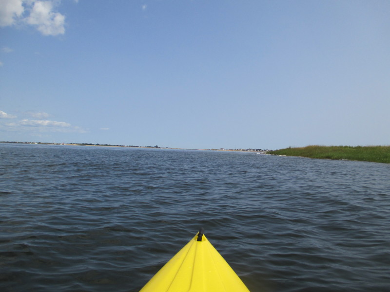
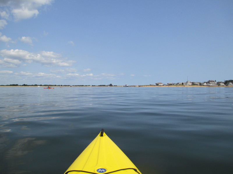
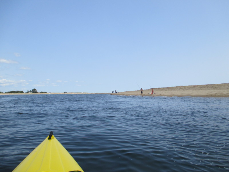
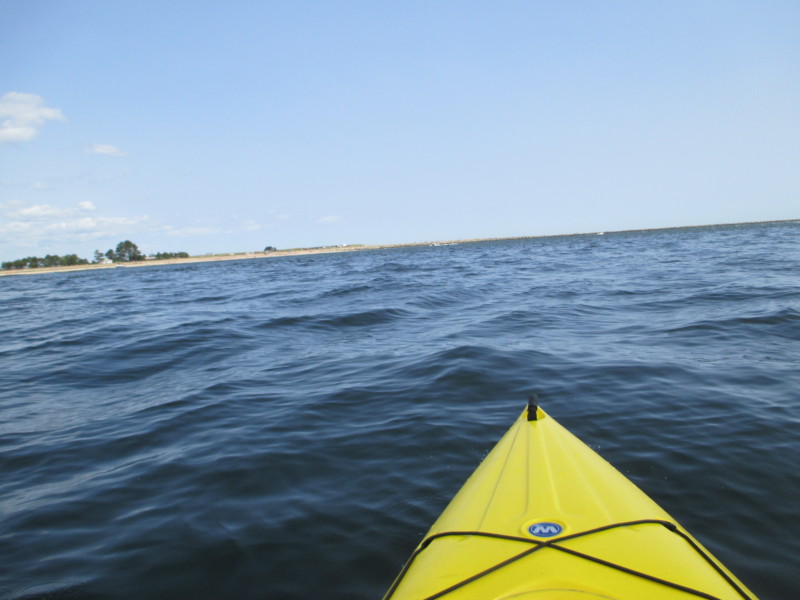
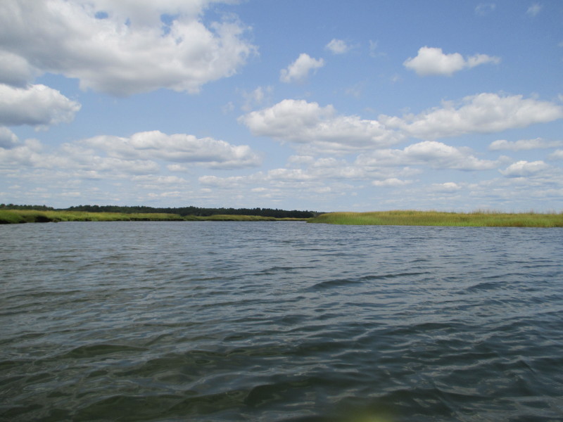
 On the left of this picture is the channel to and from the Atlantic Ocean.
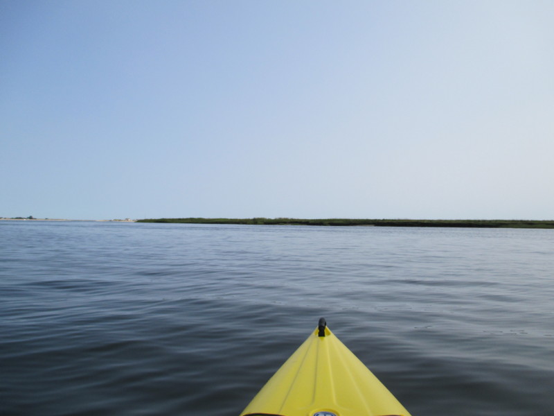
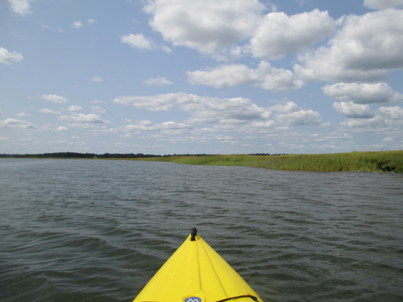
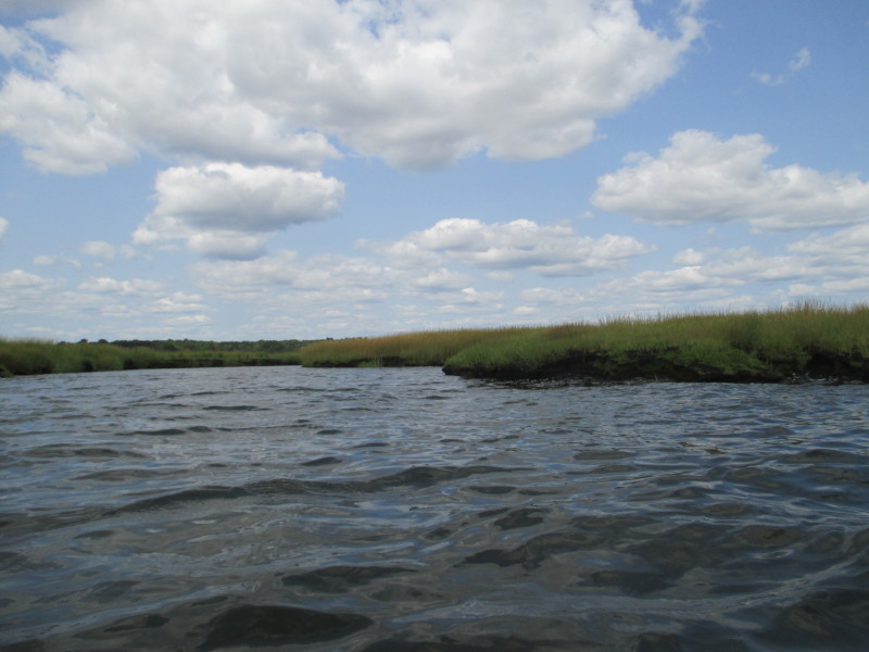
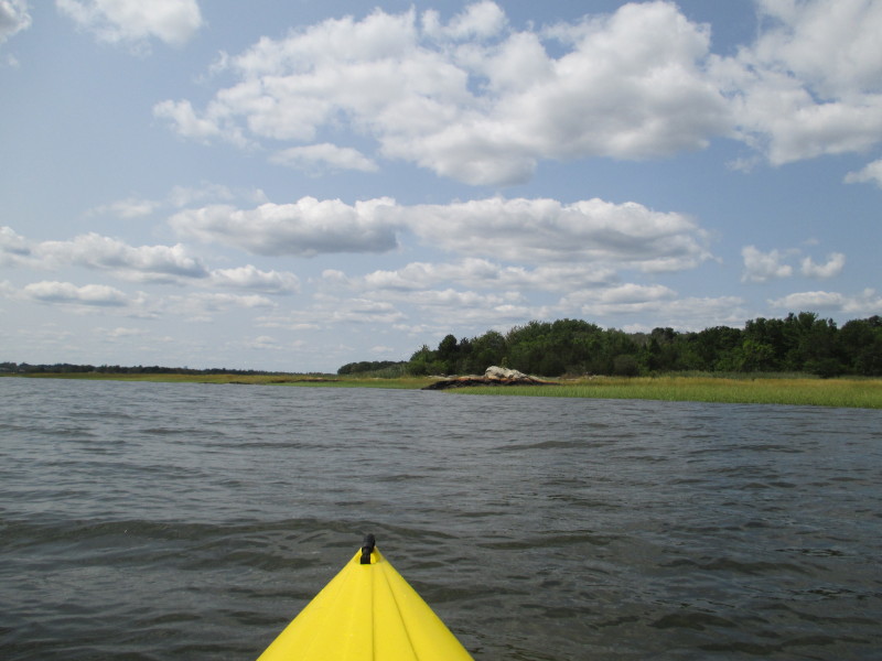
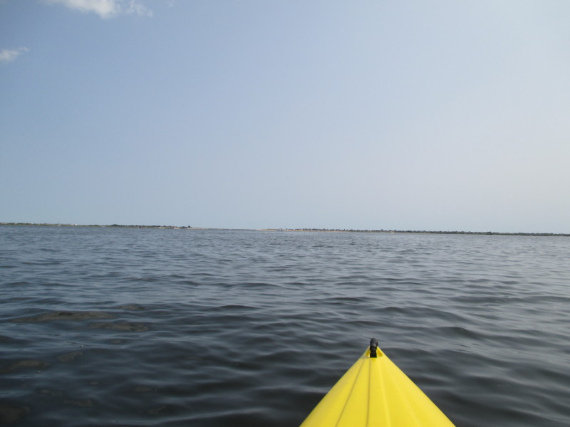 The plain is to paddle to the green marsh area on the right of this picture.
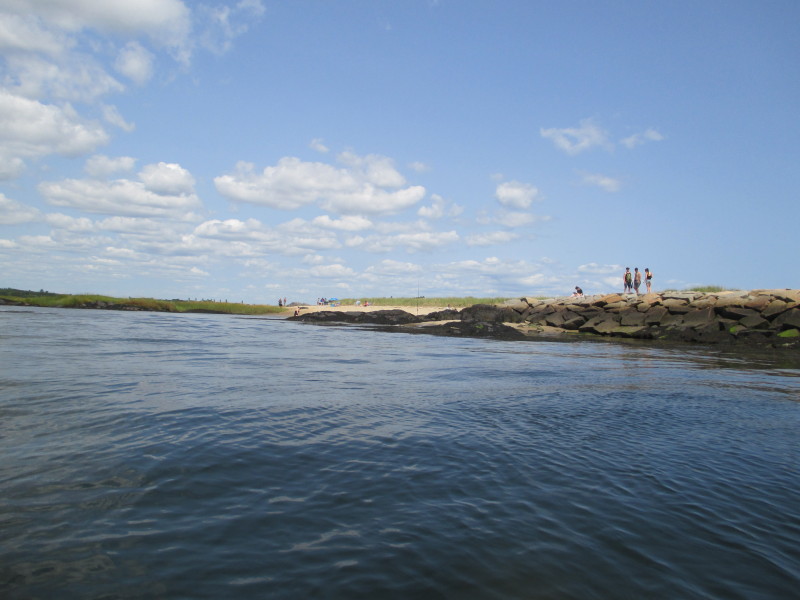
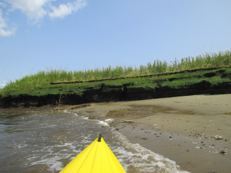 Beachhead! For the next 2 minutes, this beach is mine.
 Taking a short break.
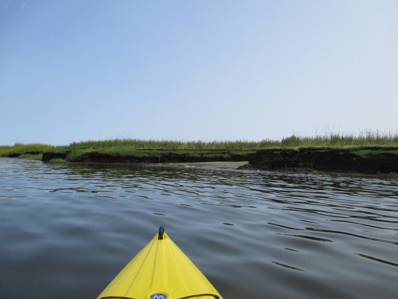
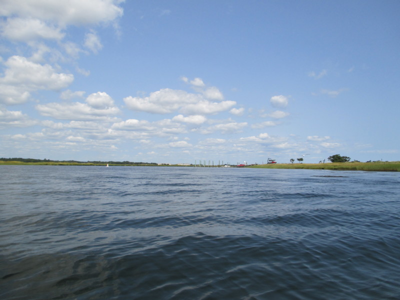
 Back on the water. Will follow the coast line on my right.
 Kayakers on Merrimack River Delta.
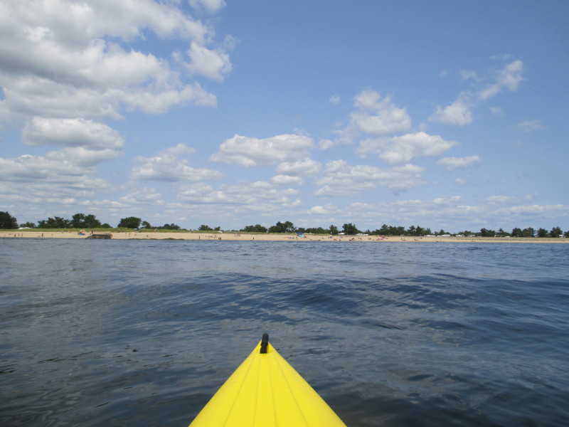
 Beach on Merrimack River Delta south shore.
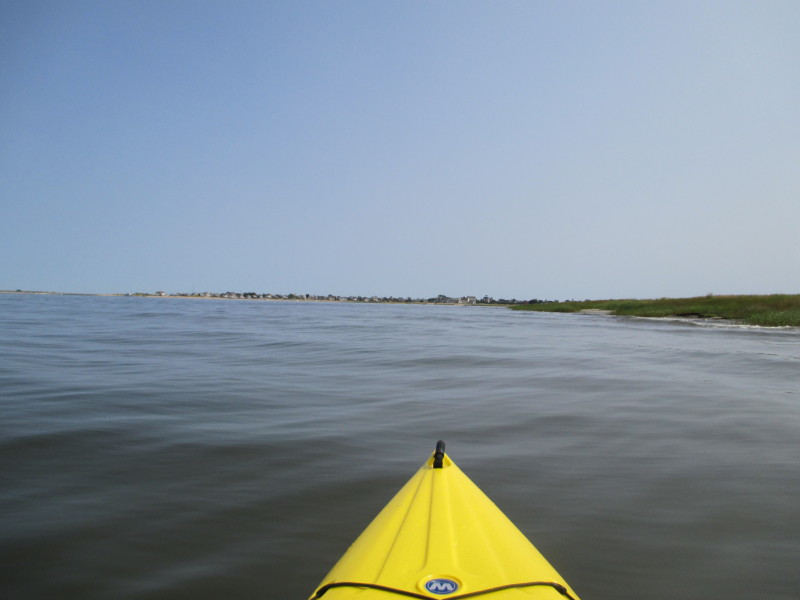
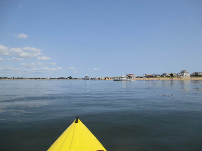
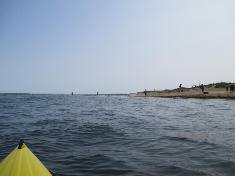
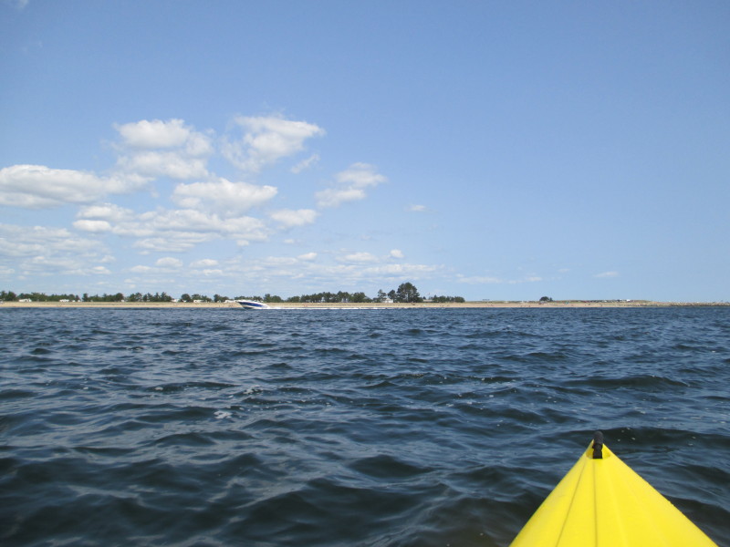
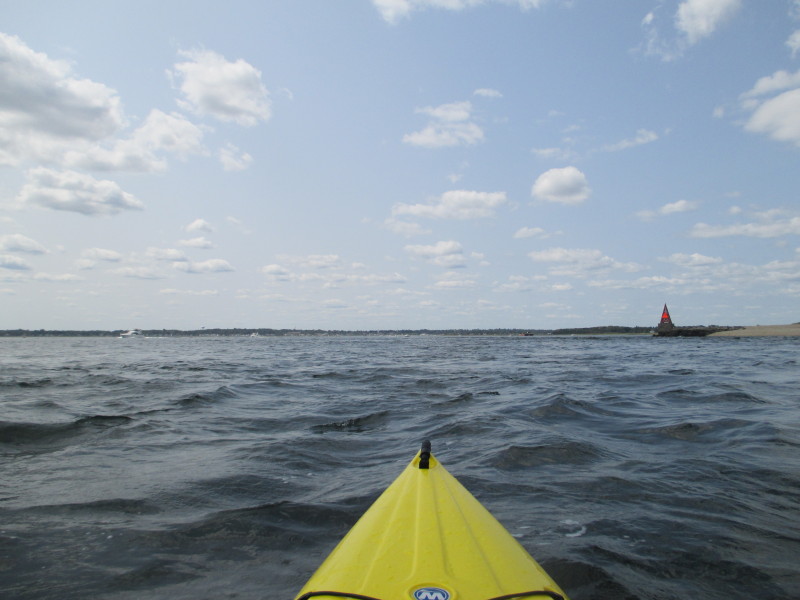
 Approaching the channel. Atlantic Ocean is in sight.
 Just turned right. Will try to go to the other side and across this very busy waterway.
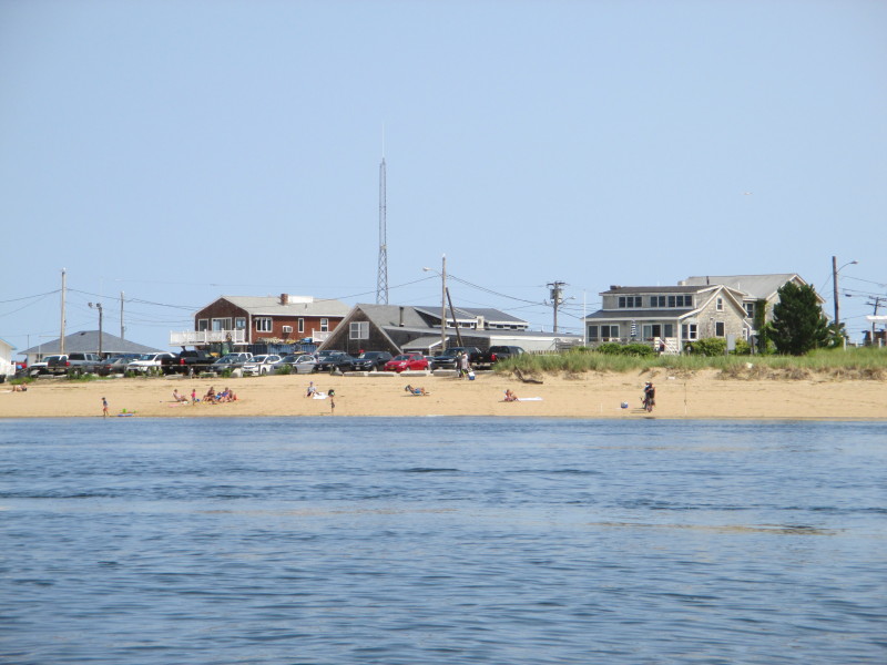
 Another beach on the north shore of the Merrimack River Delta.
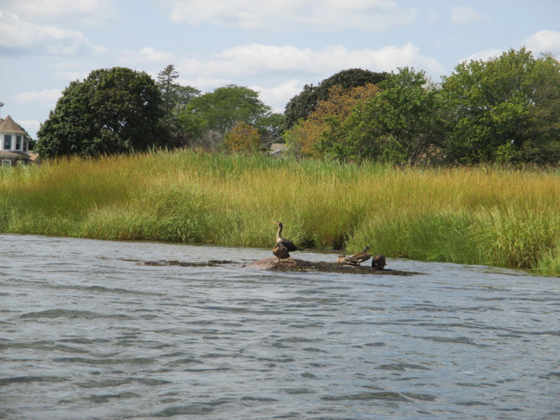
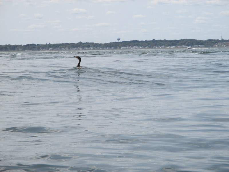 A cormorant.
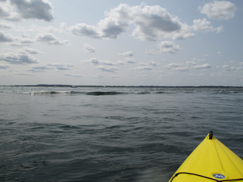 Wake.
Wake.
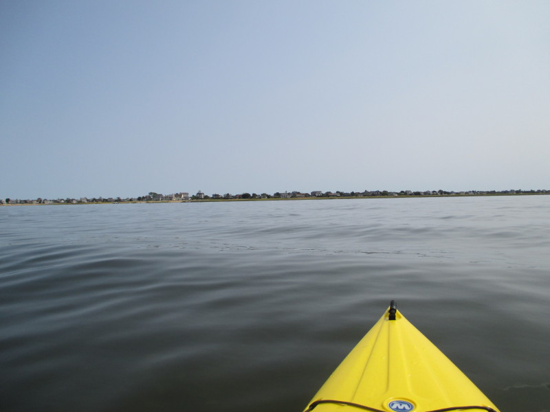
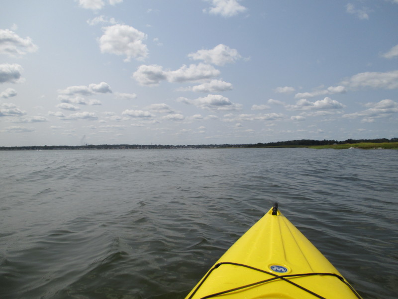
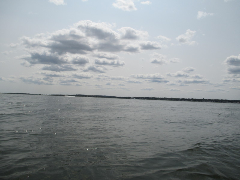
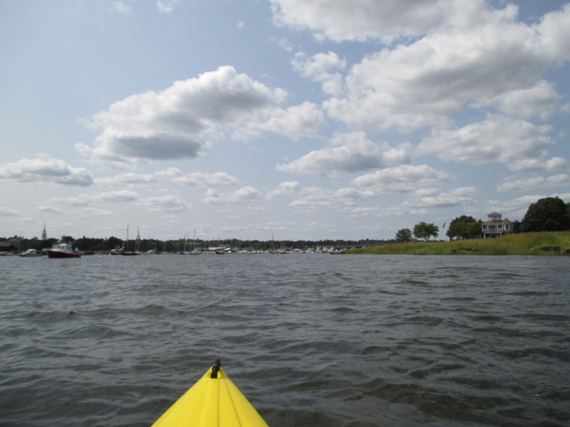
 I am now on the north shore on my right facing westwards back to where I started.
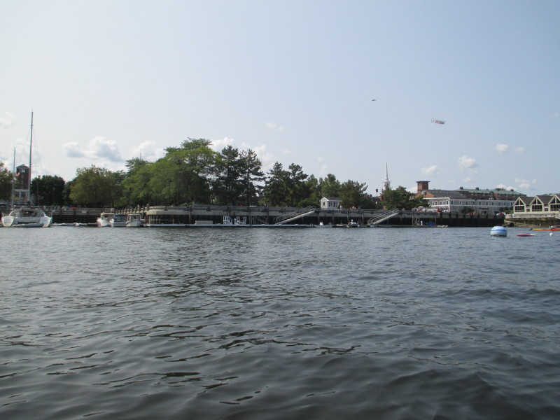
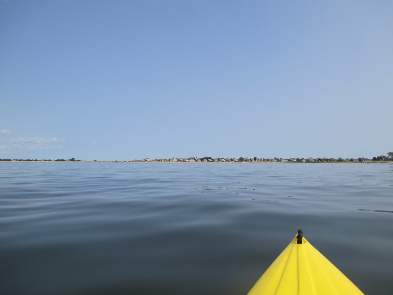
 Center of picture is the Newburyport center.
 On my right, some marsh inlets that can potentially be explored.
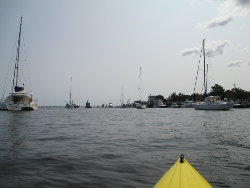
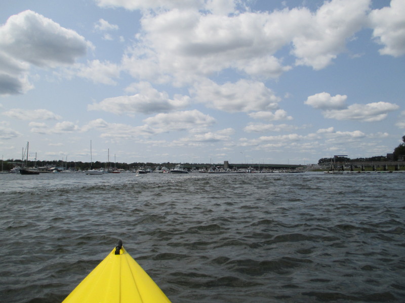
 This waterway has a parade of boats in both directions.
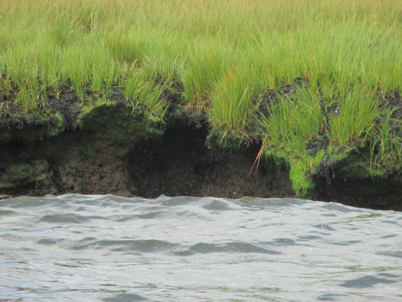
 A rock on the north shore.
 The watermarks on this rock tells me the water will be rising another 3 feet plus when it reaches high tide.
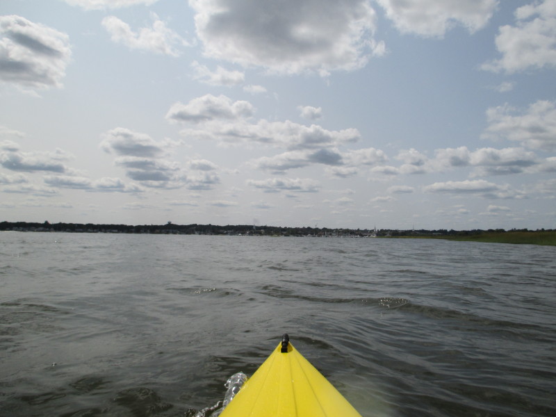
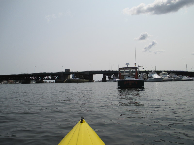
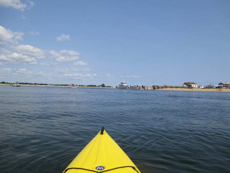
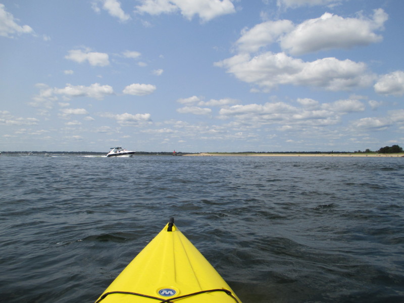
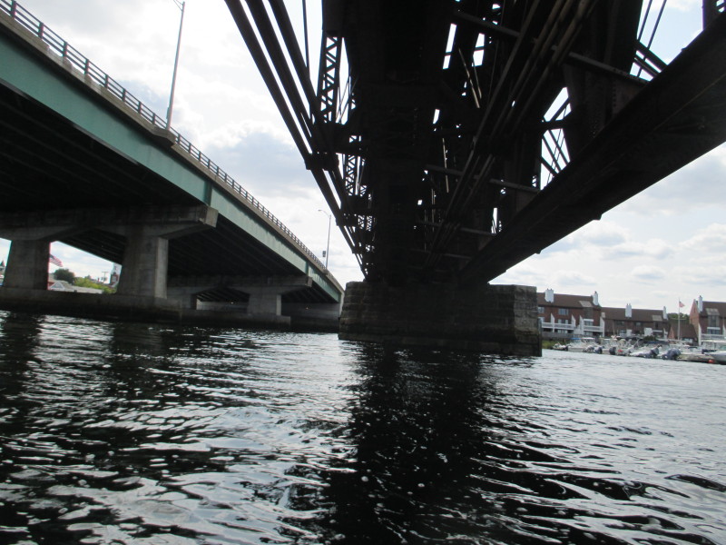
 Is just now I can see the Route 1 bridge.
 Fishing boat and lobster traps.
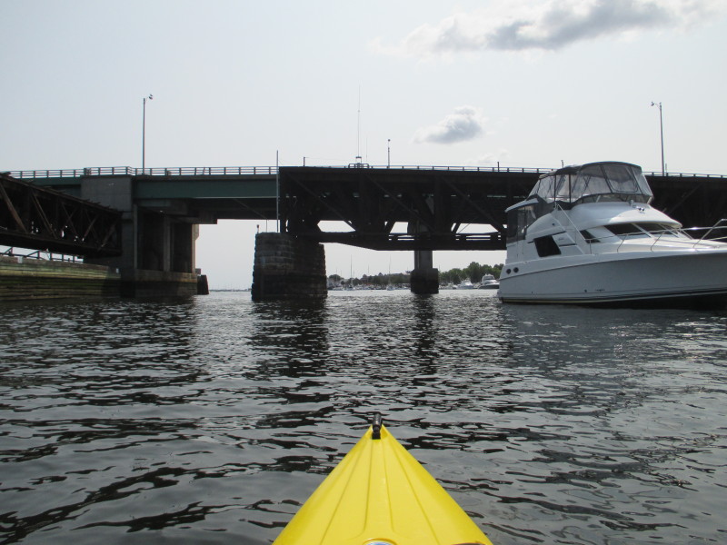
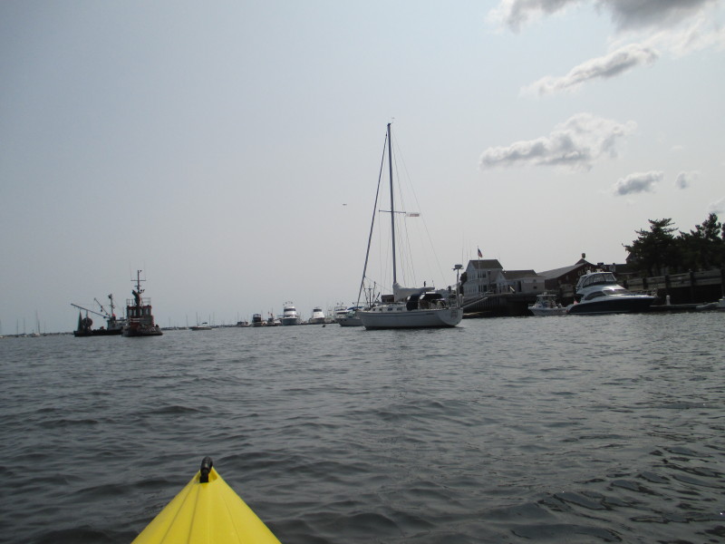
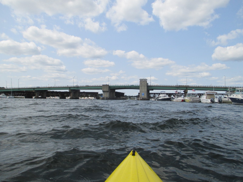 Approaching the Route 1 bridge.
Pedestrians on Route 1 bridge. 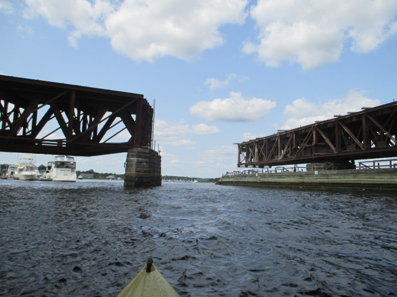
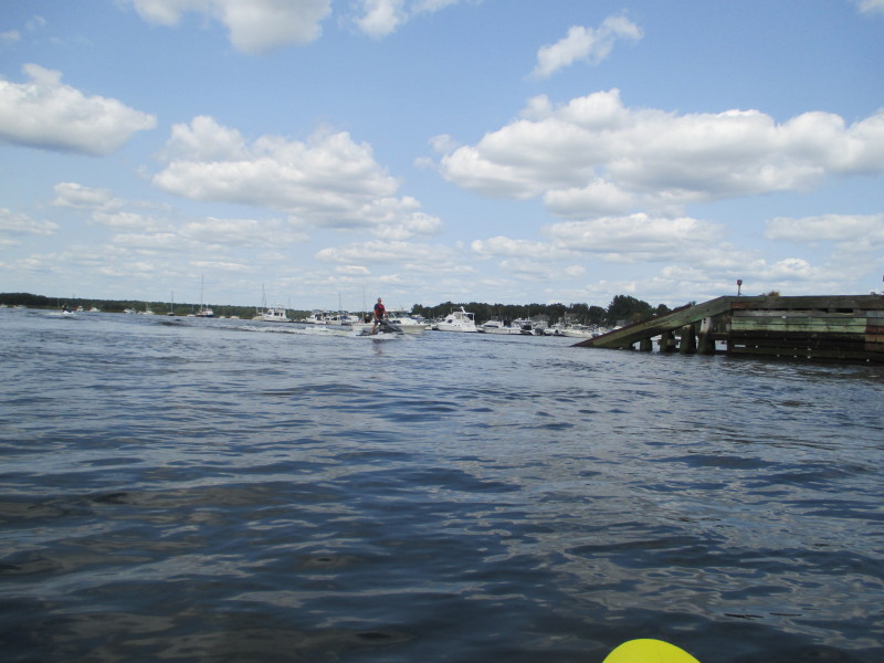 Jetskier.
 Getting very close to the ramp.
 Landed. Paddle time is 2 hours and 2 minutes.
|