|
|
Download printer-friendly
PDF version that fits in one page: |
|
|
Other resources:
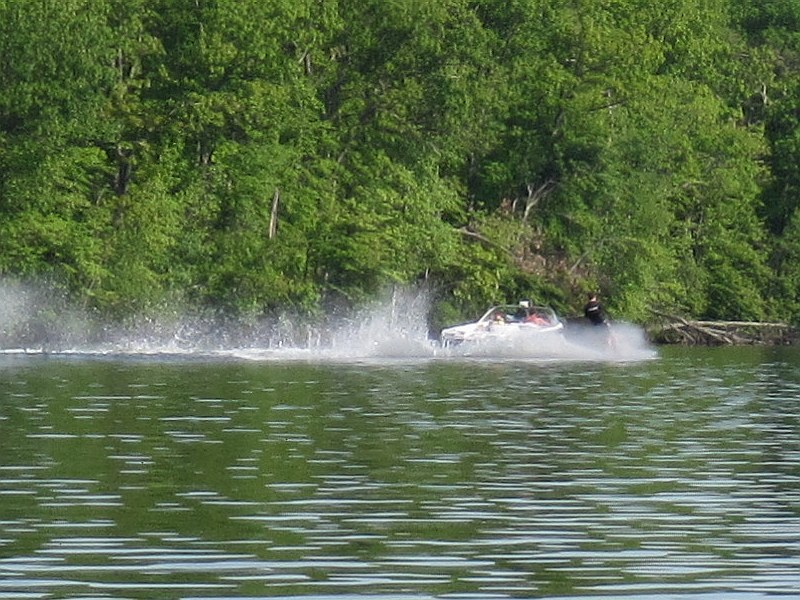
Lake Maspenock Preservation Association: Lake Maspenock History Town of Upton: Peppercorn Hill Conservation Area Trail Map Town of Upton: Peppercorn Hill Conservation Area Trail Map (cached copy) All photos in this website are original and copyrighted. Trip date May 2012. Jumping rope. Very nice lakeside house.  Some guy water skiing being pulled by a fast boat.
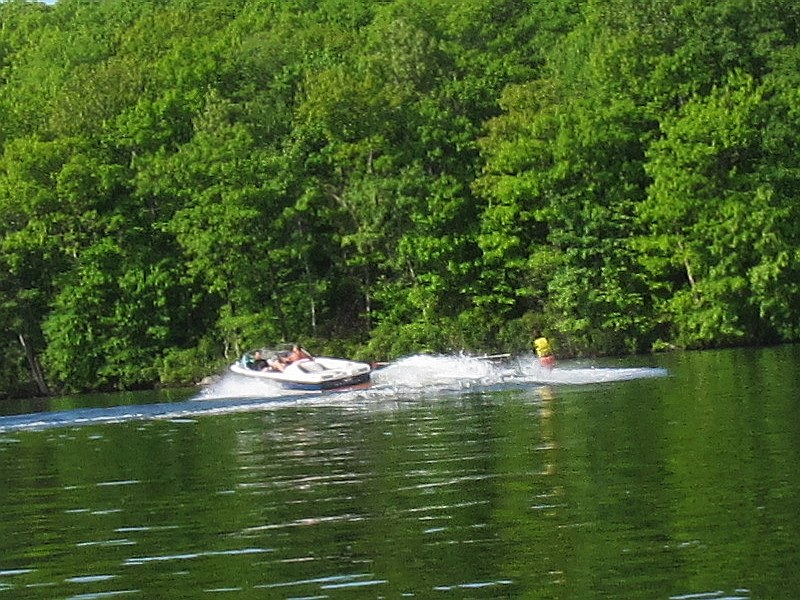
 Here's the waterskier having another go.
|
